Design Library
Explore Designs
New Merch Designs
Trending Merch Designs
Vectors
PNGs & SVGs
Mockups
T-Shirts
T-Shirt PSD Templates
KDP Designs
Phone Cases
Pillows
Tote Bags
Posters
Mugs
Design Tools
Designer
New!
T-shirt Maker
Mockup Generator
Quote Generator
Logo Maker
Resources
Merch Digest
Blog
Help Center
Creators Program
Learn About Merch
Changelog
Pricing
Loading...
Sign Up
Login
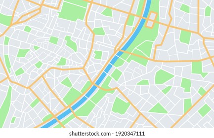
Vectors
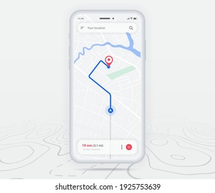
map
Design Library
Explore Designs
New Merch Designs
Trending Merch Designs
Vectors
PNGs & SVGs
Mockups
T-Shirts
T-Shirt PSD Templates
KDP Designs
Phone Cases
Pillows
Tote Bags
Posters
Mugs
Design Tools
Designer
New!
T-shirt Maker
Mockup Generator
Quote Generator
Logo Maker
Resources
Merch Digest
Blog
Help Center
Creators Program
Learn About Merch
Changelog
PLANS
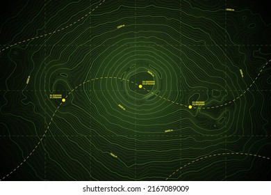
Vectors
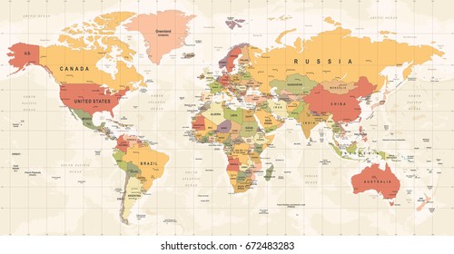
map
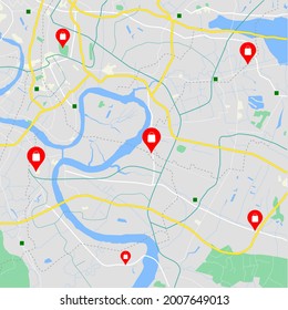
1752 map Vectors & Graphics to Download
Download map editable vector graphics for every design project. In AI, SVG, PNG, JPG and PSD.
Related:
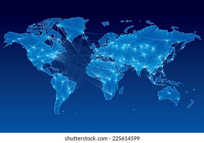
world map
,
map silhouette
Sort by
Most relevant
Sponsored results by
Get 15% off with code: VEXELS15
Show more
×
We didn't find any
map
Vectors, but here's all our
map
designs or
request design here
Wyoming Stars & Stripes Map PNG Design
Choose a folder
All favorites
Create new
Save
Wyoming Stars & Stripes Map PNG Design
USA map cut out PNG Design
Choose a folder
All favorites
Create new
Save
USA map cut out PNG Design
Premium
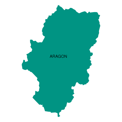
Aragon autonomous community map PNG Design
Choose a folder
All favorites
Create new
Save
Aragon autonomous community map PNG Design
Premium
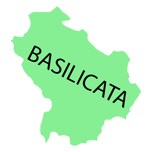
Basilicata region map PNG Design
Choose a folder
All favorites
Create new
Save
Basilicata region map PNG Design
Premium
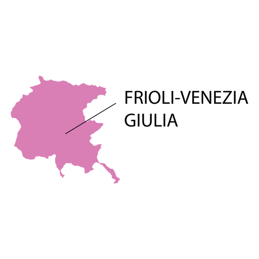
Friuli venezia giulia region map PNG Design
Choose a folder
All favorites
Create new
Save
Friuli venezia giulia region map PNG Design
Premium
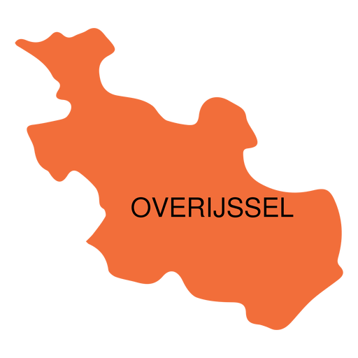
Overijssel province map PNG Design
Choose a folder
All favorites
Create new
Save
Overijssel province map PNG Design
Premium
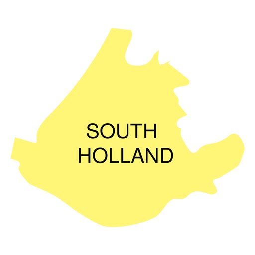
South holland province map PNG Design
Choose a folder
All favorites
Create new
Save
South holland province map PNG Design
A silhouette of the map of Ecuador PNG Design
Choose a folder
All favorites
Create new
Save
A silhouette of the map of Ecuador PNG Design
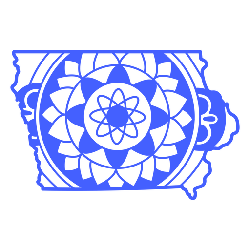
Iowa map mandala PNG Design
Choose a folder
All favorites
Create new
Save
Iowa map mandala PNG Design
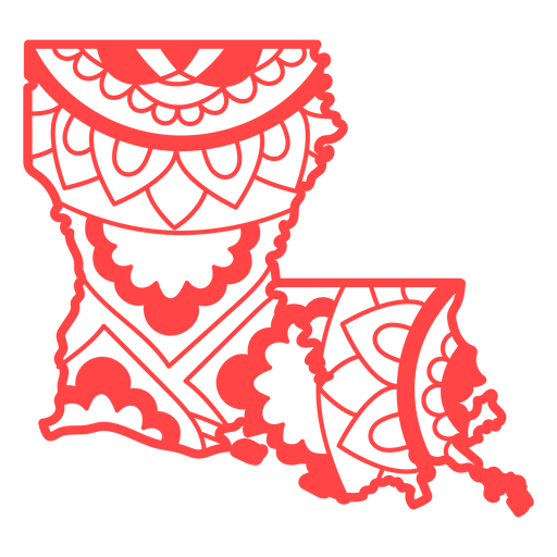
Louisiana map mandala PNG Design
Choose a folder
All favorites
Create new
Save
Louisiana map mandala PNG Design
Premium
Abruzzo region map PNG Design
Choose a folder
All favorites
Create new
Save
Abruzzo region map PNG Design
Premium
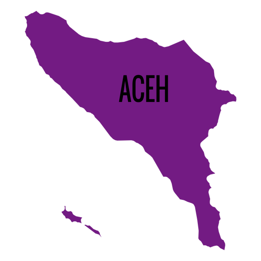
Aceh province map PNG Design
Choose a folder
All favorites
Create new
Save
Aceh province map PNG Design
Premium
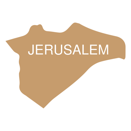
Jerusalem district map PNG Design
Choose a folder
All favorites
Create new
Save
Jerusalem district map PNG Design
Premium
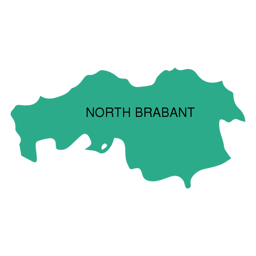
North brabant province map PNG Design
Choose a folder
All favorites
Create new
Save
North brabant province map PNG Design
Premium
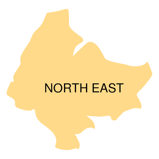
North east district map PNG Design
Choose a folder
All favorites
Create new
Save
North east district map PNG Design
A silhouette of the map of Peru PNG Design
Choose a folder
All favorites
Create new
Save
A silhouette of the map of Peru PNG Design
Central america stroke continents map PNG Design
Choose a folder
All favorites
Create new
Save
Central america stroke continents map PNG Design
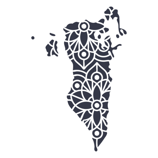
Mandala Bahrain Map PNG Design
Choose a folder
All favorites
Create new
Save
Mandala Bahrain Map PNG Design
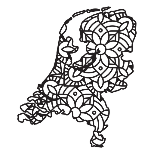
Netherlands Mandala Map PNG Design
Choose a folder
All favorites
Create new
Save
Netherlands Mandala Map PNG Design
American map liberty badge PNG Design
Choose a folder
All favorites
Create new
Save
American map liberty badge PNG Design
Road trip geography map PNG Design
Choose a folder
All favorites
Create new
Save
Road trip geography map PNG Design
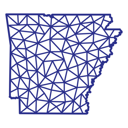
Arkansas map polygonal PNG Design
Choose a folder
All favorites
Create new
Save
Arkansas map polygonal PNG Design
Polygonal Nevada State Map PNG Design
Choose a folder
All favorites
Create new
Save
Polygonal Nevada State Map PNG Design
Polygonal Oklahoma State Map PNG Design
Choose a folder
All favorites
Create new
Save
Polygonal Oklahoma State Map PNG Design
Premium
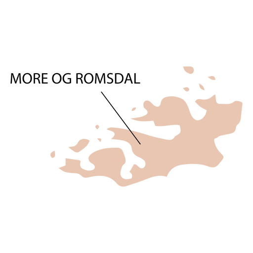
More og romsdal county map PNG Design
Choose a folder
All favorites
Create new
Save
More og romsdal county map PNG Design
Premium
Construction worker carrying map PNG Design
Choose a folder
All favorites
Create new
Save
Construction worker carrying map PNG Design
Premium
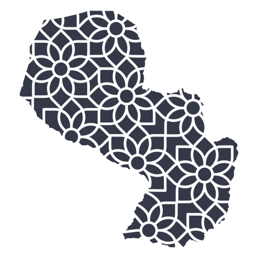
Paraguay's mandala map PNG Design
Choose a folder
All favorites
Create new
Save
Paraguay's mandala map PNG Design
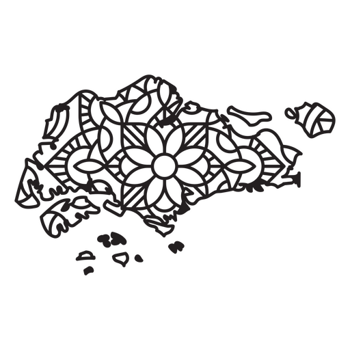
Singapore Mandala Map PNG Design
Choose a folder
All favorites
Create new
Save
Singapore Mandala Map PNG Design
Antarctica geometric map continent PNG Design
Choose a folder
All favorites
Create new
Save
Antarctica geometric map continent PNG Design
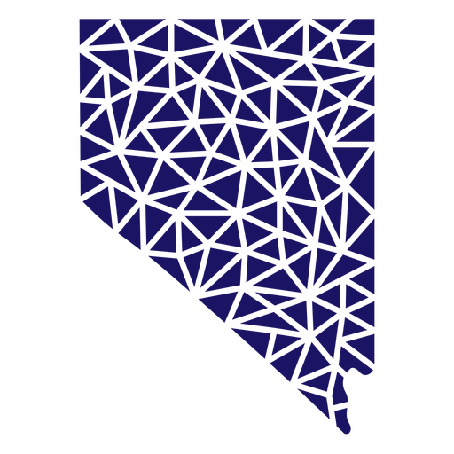
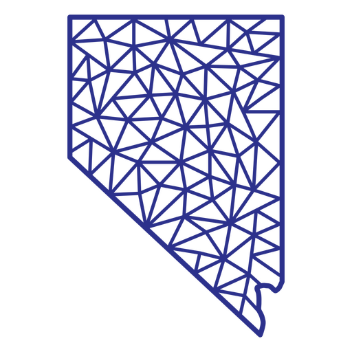
Nevada map polygonal PNG Design
Choose a folder
All favorites
Create new
Save
Nevada map polygonal PNG Design
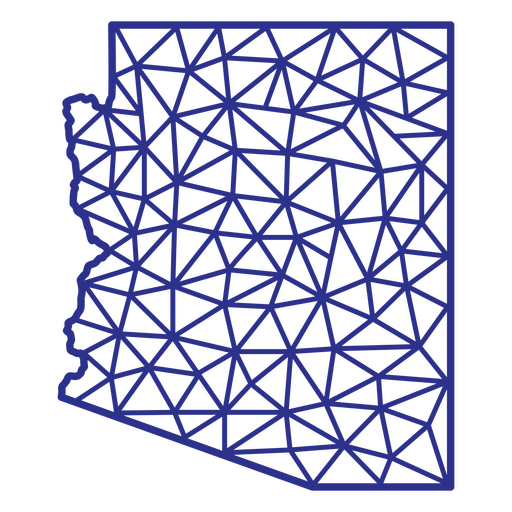
Arizona map polygonal PNG Design
Choose a folder
All favorites
Create new
Save
Arizona map polygonal PNG Design
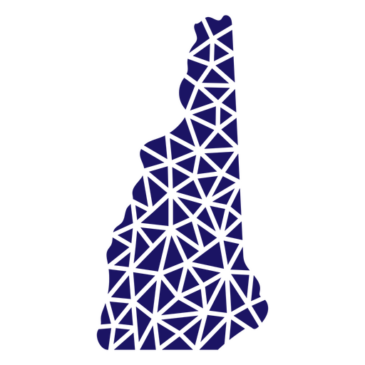
Polygonal New Hampshire Map PNG Design
Choose a folder
All favorites
Create new
Save
Polygonal New Hampshire Map PNG Design
Maryland Stars & Stripes Map PNG Design
Choose a folder
All favorites
Create new
Save
Maryland Stars & Stripes Map PNG Design
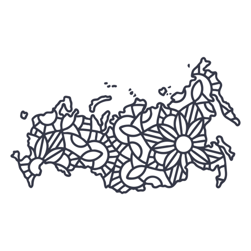
Russia map silhouette mandala stroke PNG Design
Choose a folder
All favorites
Create new
Save
Russia map silhouette mandala stroke PNG Design
Premium
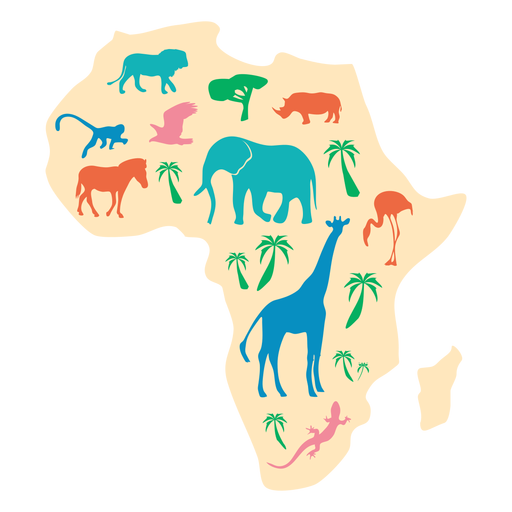
Africa animal map illustration PNG Design
Choose a folder
All favorites
Create new
Save
Africa animal map illustration PNG Design
Premium
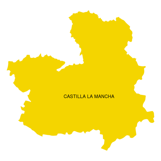
Castilla la mancha autonomous community map PNG Design
Choose a folder
All favorites
Create new
Save
Castilla la mancha autonomous community map PNG Design
Premium
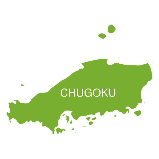
Chugoku region map PNG Design
Choose a folder
All favorites
Create new
Save
Chugoku region map PNG Design
Premium
East java province map PNG Design
Choose a folder
All favorites
Create new
Save
East java province map PNG Design
Premium
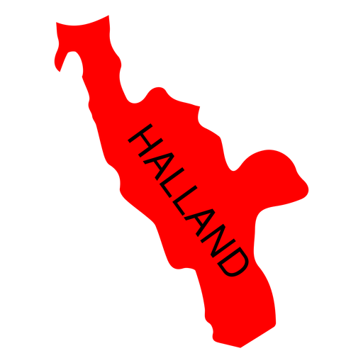
Halland county map PNG Design
Choose a folder
All favorites
Create new
Save
Halland county map PNG Design
A silhouette of the map of Uruguay PNG Design
Choose a folder
All favorites
Create new
Save
A silhouette of the map of Uruguay PNG Design
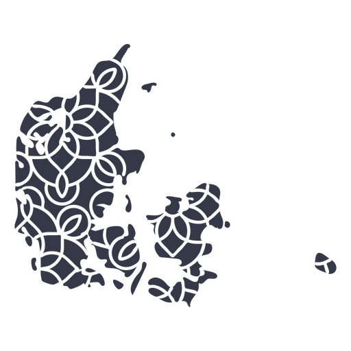
Mandala Denmark Map PNG Design
Choose a folder
All favorites
Create new
Save
Mandala Denmark Map PNG Design
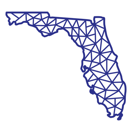
Florida map polygonal PNG Design
Choose a folder
All favorites
Create new
Save
Florida map polygonal PNG Design
Califiornia map filled stroke PNG Design
Choose a folder
All favorites
Create new
Save
Califiornia map filled stroke PNG Design
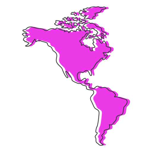
America map flat PNG Design
Choose a folder
All favorites
Create new
Save
America map flat PNG Design
United states map stroke element PNG Design
Choose a folder
All favorites
Create new
Save
United states map stroke element PNG Design
Premium
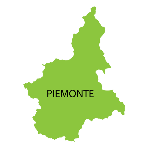
Piedmont region map PNG Design
Choose a folder
All favorites
Create new
Save
Piedmont region map PNG Design
Premium
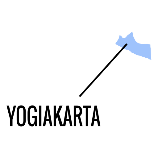
Yogiakarta province map PNG Design
Choose a folder
All favorites
Create new
Save
Yogiakarta province map PNG Design
Premium
Zeeland province map PNG Design
Choose a folder
All favorites
Create new
Save
Zeeland province map PNG Design
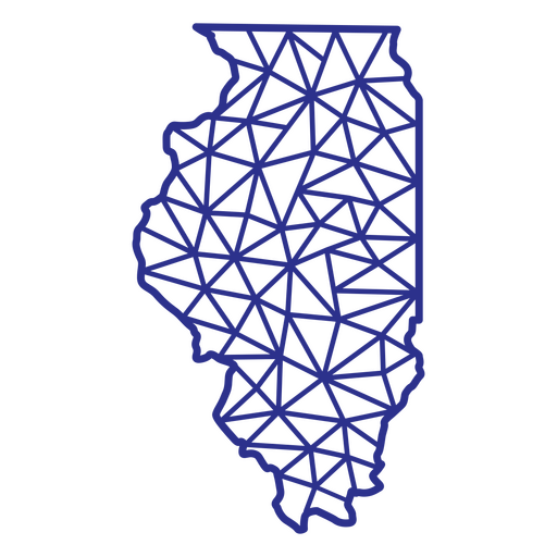
Illinois map polygonal PNG Design
Choose a folder
All favorites
Create new
Save
Illinois map polygonal PNG Design
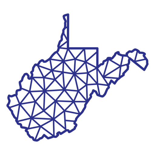
West Virginia map polygonal PNG Design
Choose a folder
All favorites
Create new
Save
West Virginia map polygonal PNG Design
Subscribe
To Get High-Quality Commercial Use Designs For Your Business
SEE PLANS
Next
of 36
prev page
next page