Design Library
Explore Designs
New Merch Designs
Trending Merch Designs
Vectors
PNGs & SVGs
Mockups
T-Shirts
T-Shirt PSD Templates
KDP Designs
Phone Cases
Pillows
Tote Bags
Posters
Mugs
Design Tools
Designer
New!
T-shirt Maker
Mockup Generator
Quote Generator
Logo Maker
Resources
Merch Digest
Blog
Help Center
Creators Program
Learn About Merch
Changelog
Pricing
Loading...
Sign Up
Login
Vectors
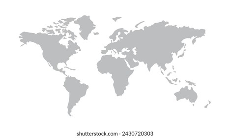
map
Design Library
Explore Designs
New Merch Designs
Trending Merch Designs
Vectors
PNGs & SVGs
Mockups
T-Shirts
T-Shirt PSD Templates
KDP Designs
Phone Cases
Pillows
Tote Bags
Posters
Mugs
Design Tools
Designer
New!
T-shirt Maker
Mockup Generator
Quote Generator
Logo Maker
Resources
Merch Digest
Blog
Help Center
Creators Program
Learn About Merch
Changelog
PLANS
Vectors
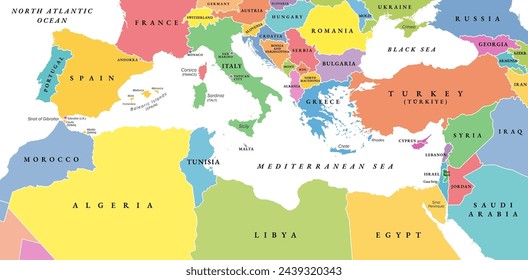
map
572 map Vectors & Graphics to Download
Download map editable vector graphics for every design project. In AI, SVG, PNG, JPG and PSD.
Related:
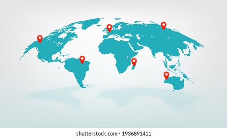
world map
,
map silhouette
Sort by
Most relevant
Sponsored results by
Get 15% off with code: VEXELS15
Show more
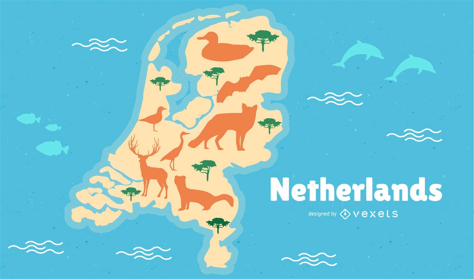
Netherlands Map Illustration
Choose a folder
All favorites
Create new
Save
Netherlands Map Illustration
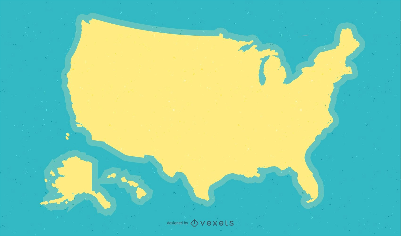
Yellow USA Map Background Design
Choose a folder
All favorites
Create new
Save
Yellow USA Map Background Design
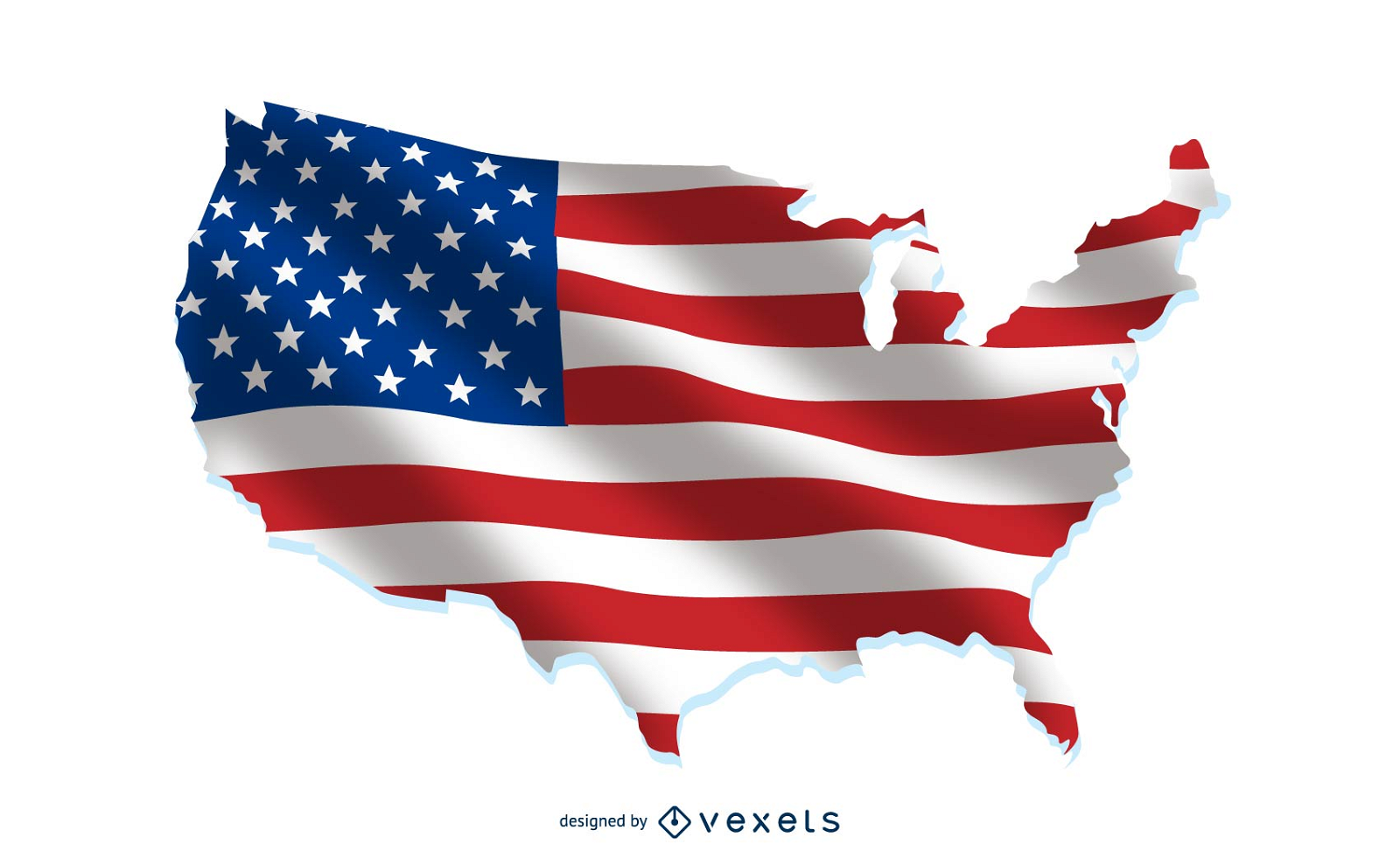
USA flag over country map
Choose a folder
All favorites
Create new
Save
USA flag over country map
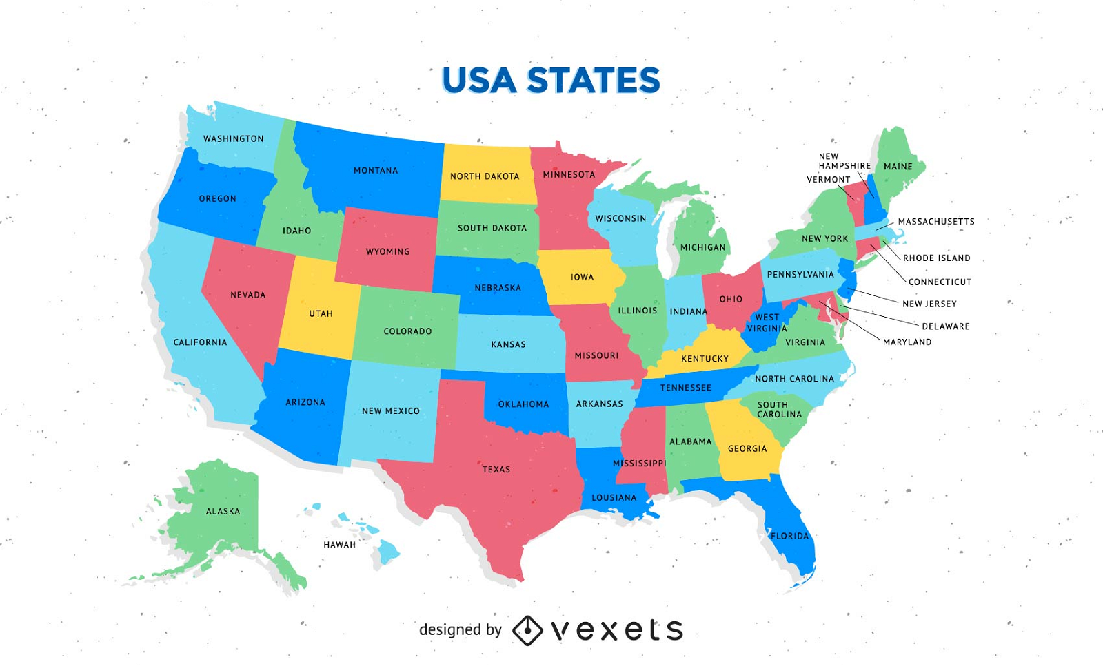
Free Colorful Usa Map With States Vector
Choose a folder
All favorites
Create new
Save
Free Colorful Usa Map With States Vector
Free Map Vector Of America
Choose a folder
All favorites
Create new
Save
Free Map Vector Of America
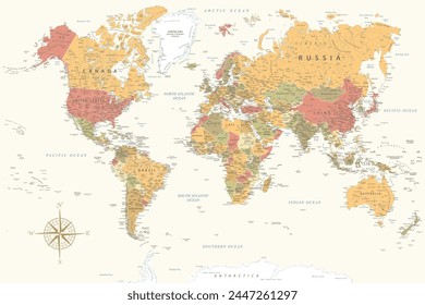
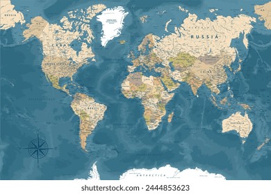
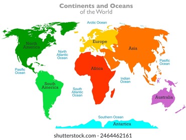
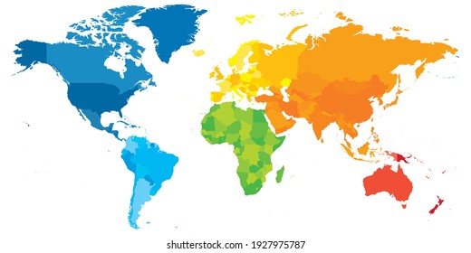
Free World Continental Vector Map
Choose a folder
All favorites
Create new
Save
Free World Continental Vector Map
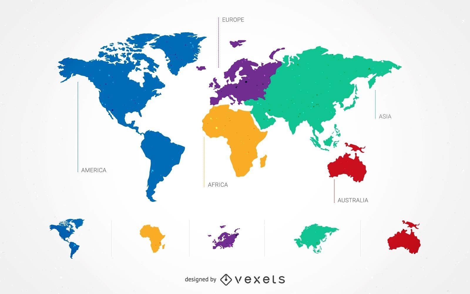
5 Continent World Map Set
Choose a folder
All favorites
Create new
Save
5 Continent World Map Set
South Korea Map Design
Choose a folder
All favorites
Create new
Save
South Korea Map Design
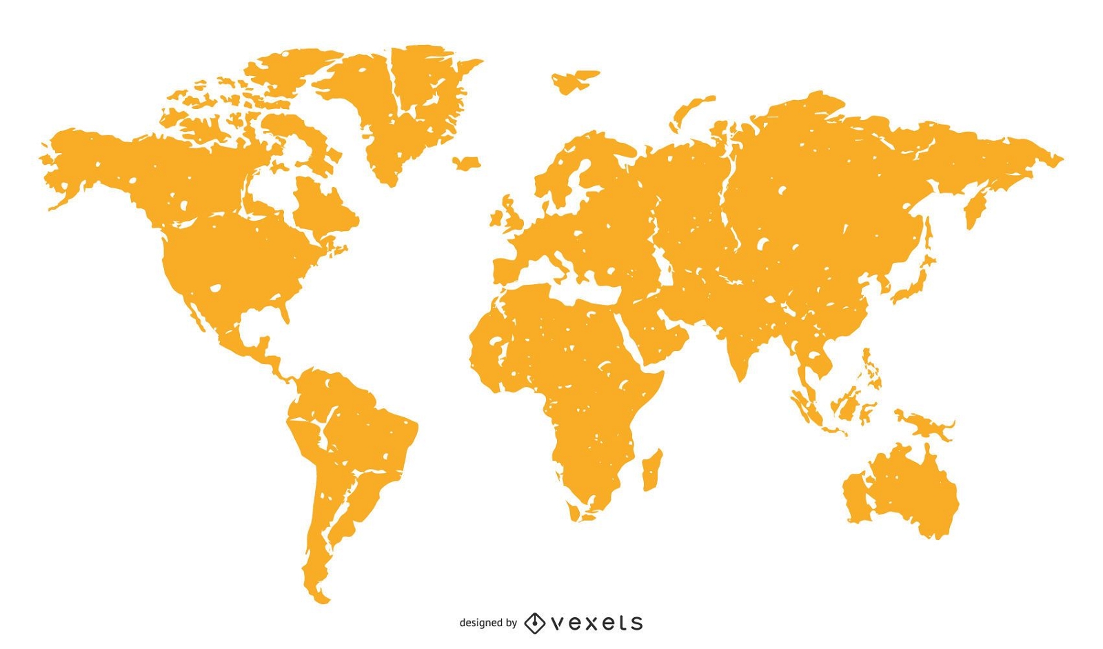
World Map Orange Silhouette
Choose a folder
All favorites
Create new
Save
World Map Orange Silhouette
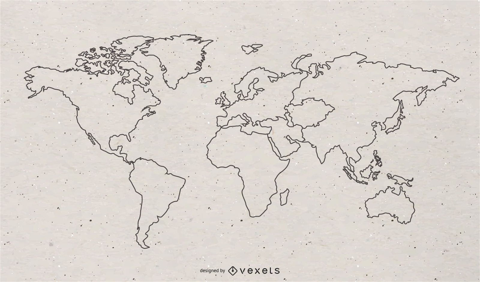
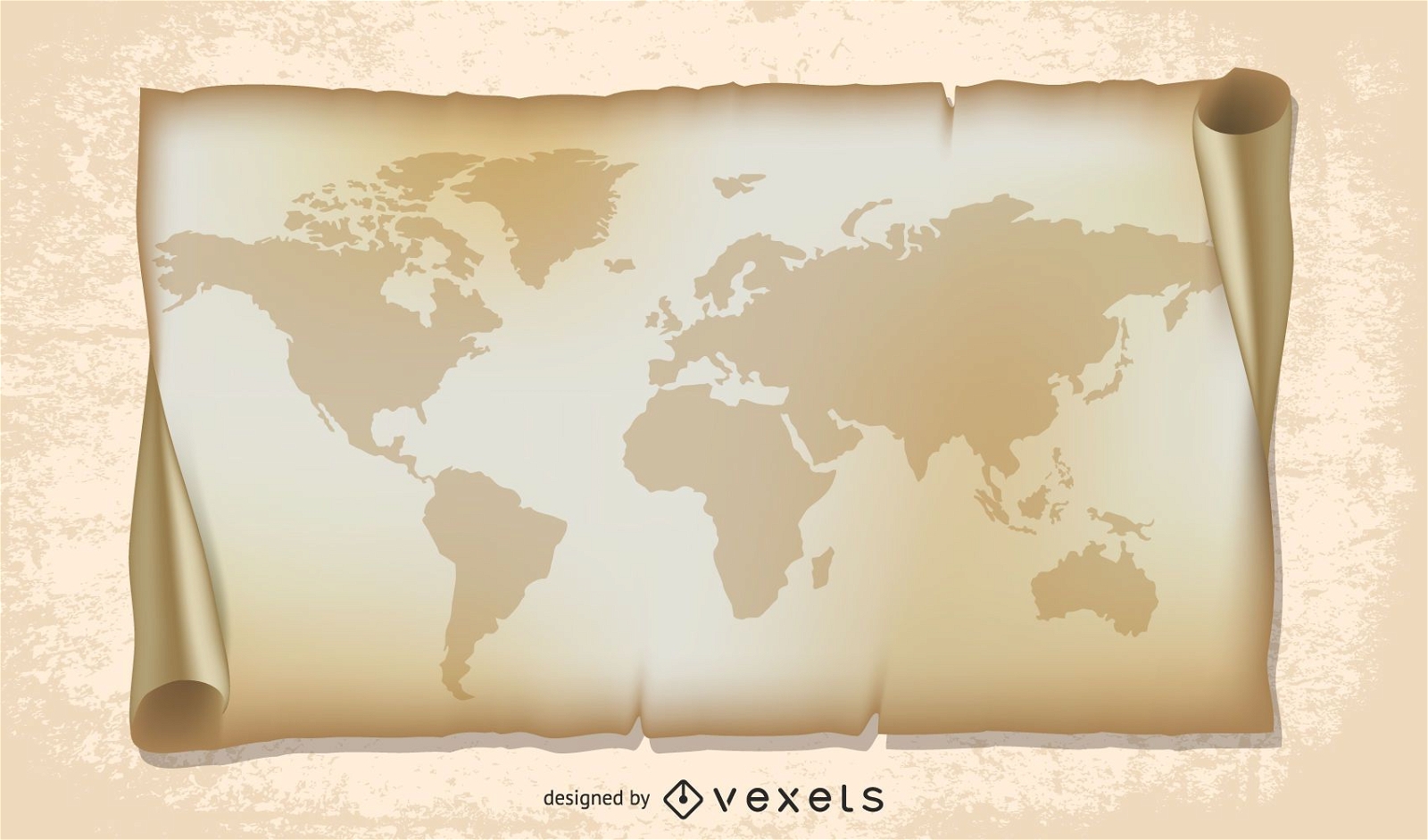
old world map illustration
Choose a folder
All favorites
Create new
Save
old world map illustration
Premium
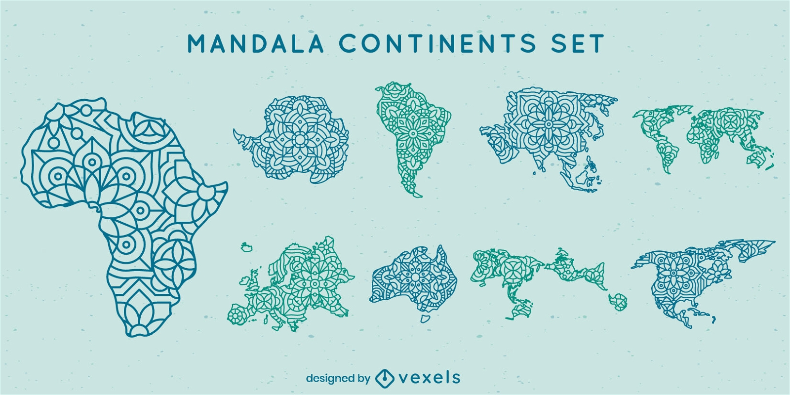
Mandala continents map set
Choose a folder
All favorites
Create new
Save
Mandala continents map set
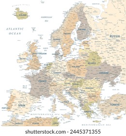
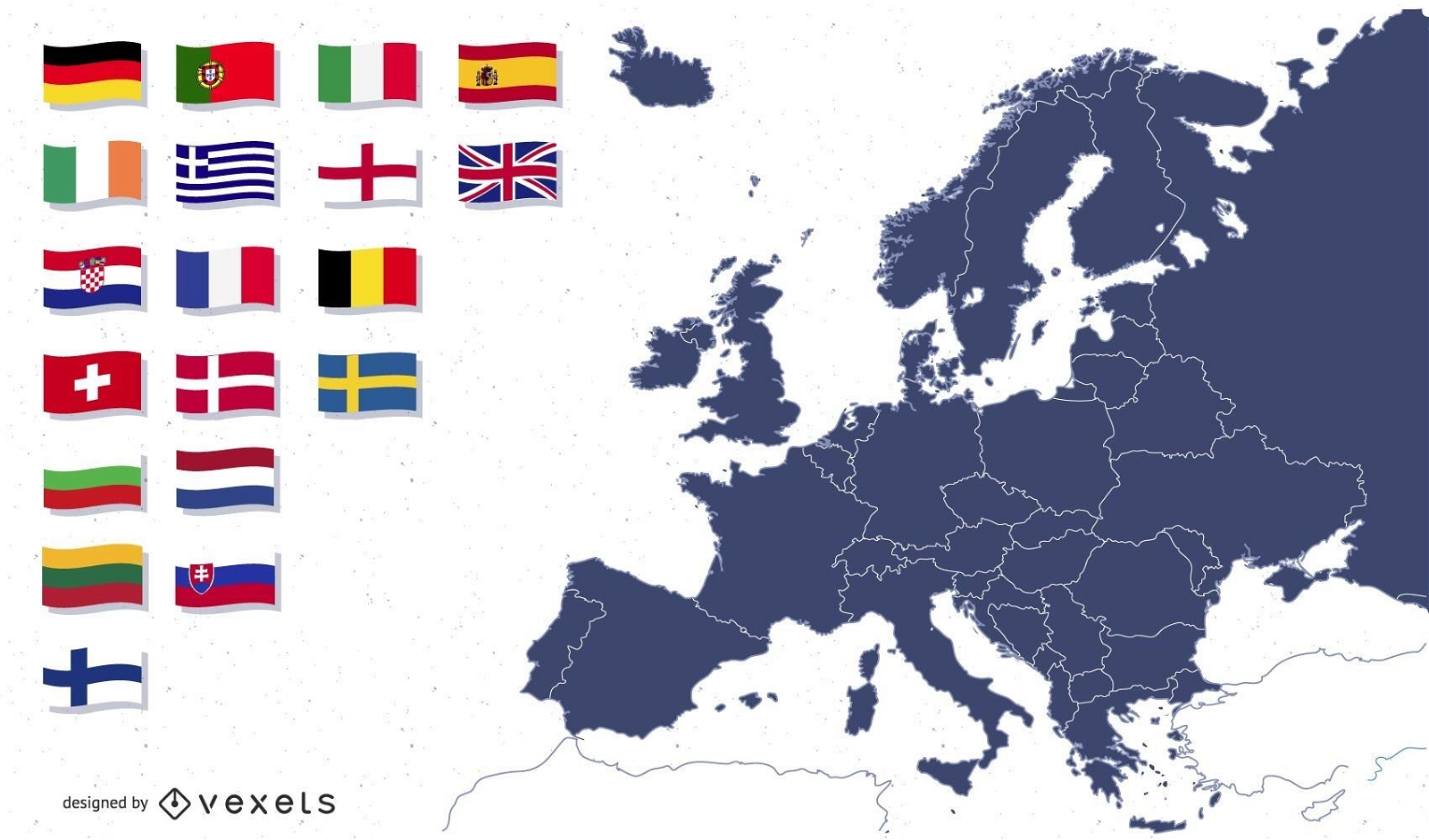
Europe map with flags illustration
Choose a folder
All favorites
Create new
Save
Europe map with flags illustration
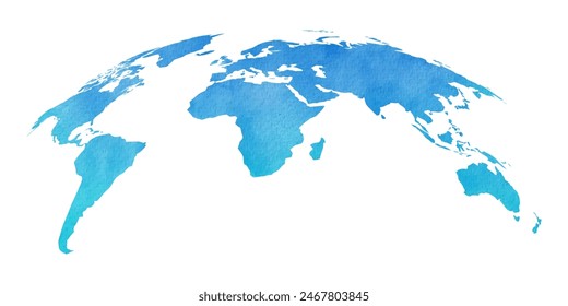
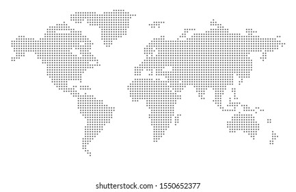
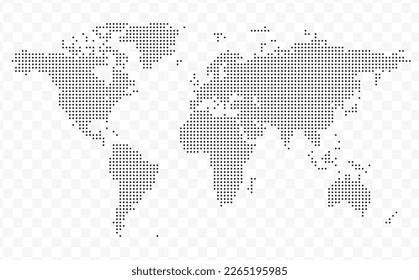
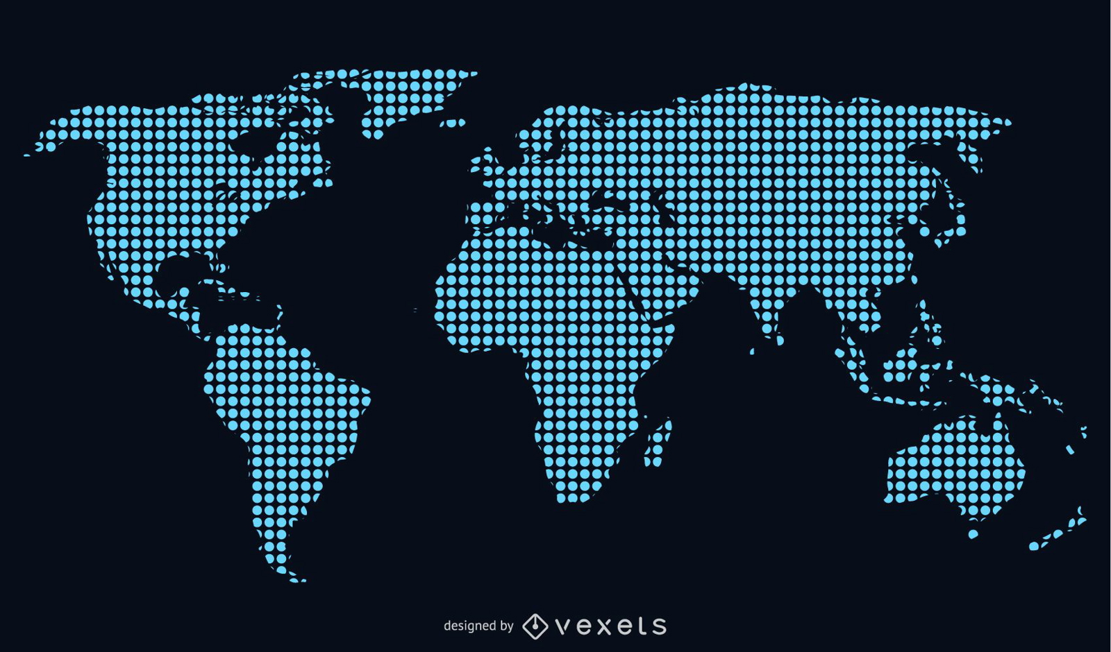
Blue dotted world map illustration
Choose a folder
All favorites
Create new
Save
Blue dotted world map illustration
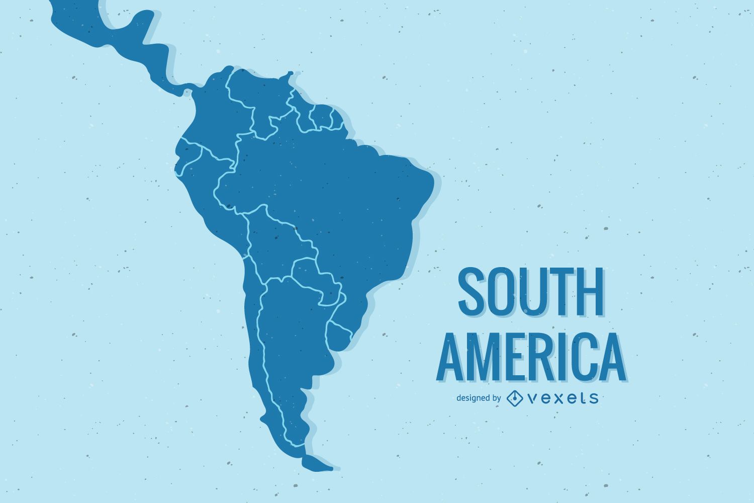
South America map illustration design
Choose a folder
All favorites
Create new
Save
South America map illustration design
Free Ancient Mythology Map Vector
Choose a folder
All favorites
Create new
Save
Free Ancient Mythology Map Vector
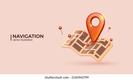
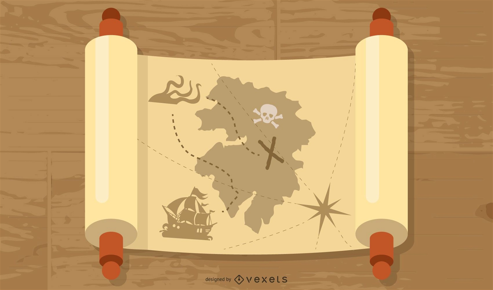
Old Map And Compass Vector 2
Choose a folder
All favorites
Create new
Save
Old Map And Compass Vector 2
Earth Map Vector
Choose a folder
All favorites
Create new
Save
Earth Map Vector
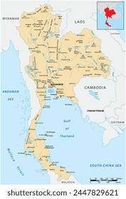
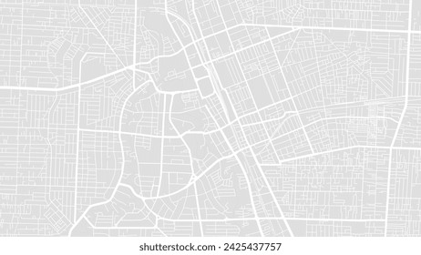
Beijing City Map Vector
Choose a folder
All favorites
Create new
Save
Beijing City Map Vector
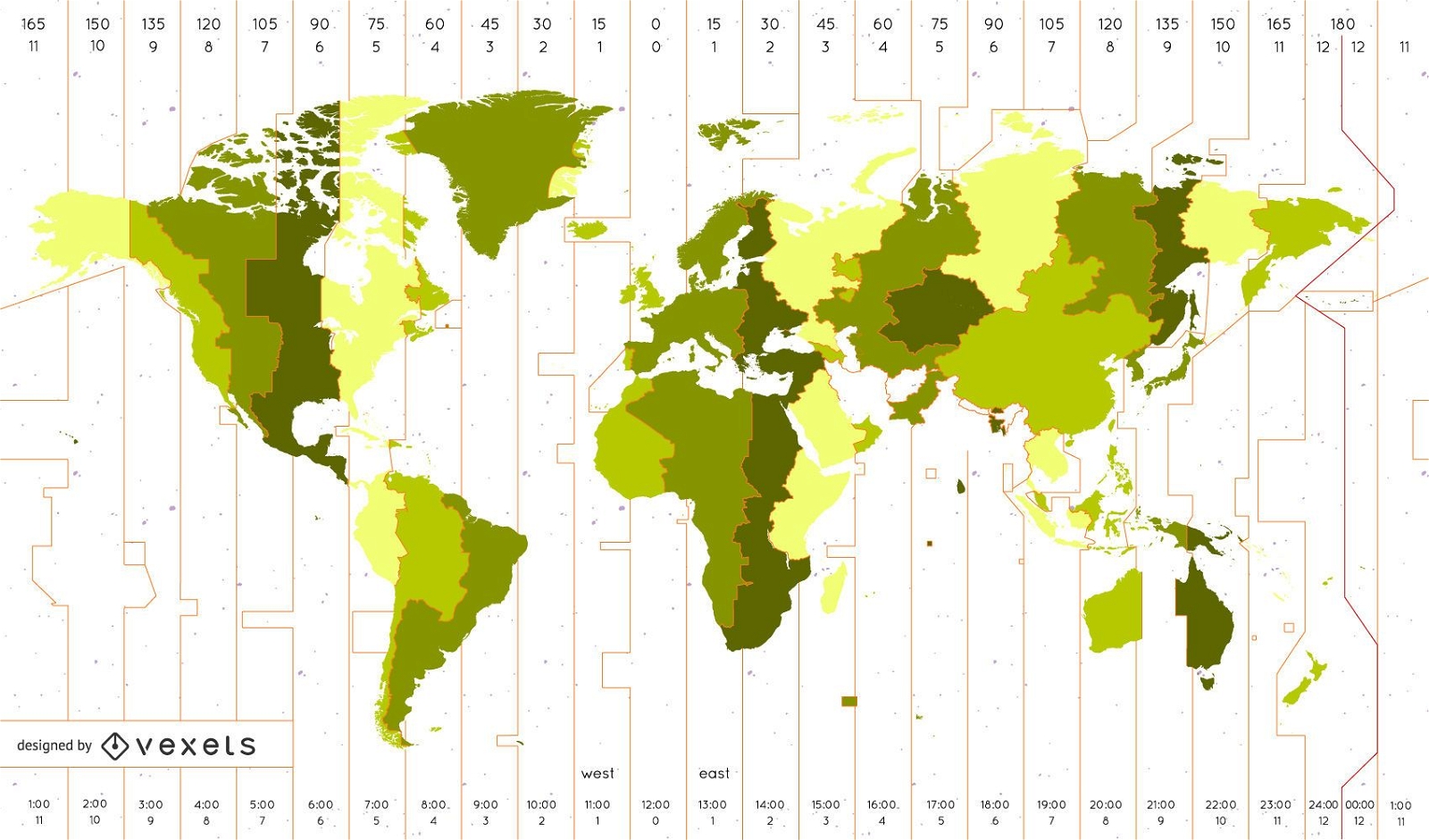
World Time Zone Map Identifies The Vector
Choose a folder
All favorites
Create new
Save
World Time Zone Map Identifies The Vector
Premium
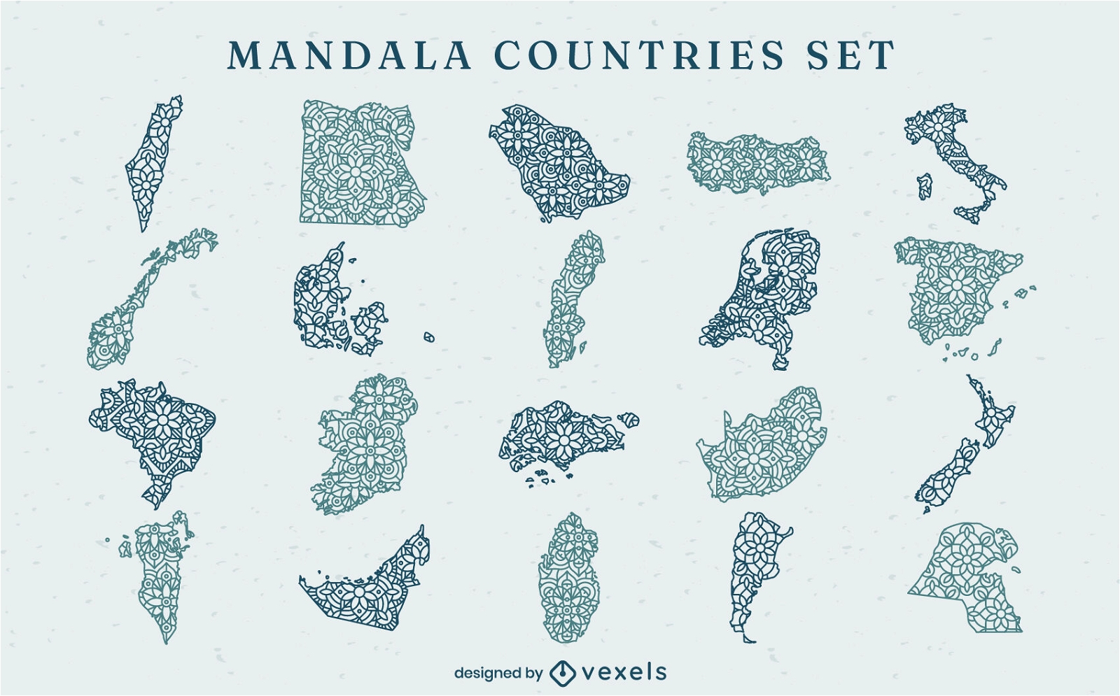
World countries map shapes mandala set
Choose a folder
All favorites
Create new
Save
World countries map shapes mandala set
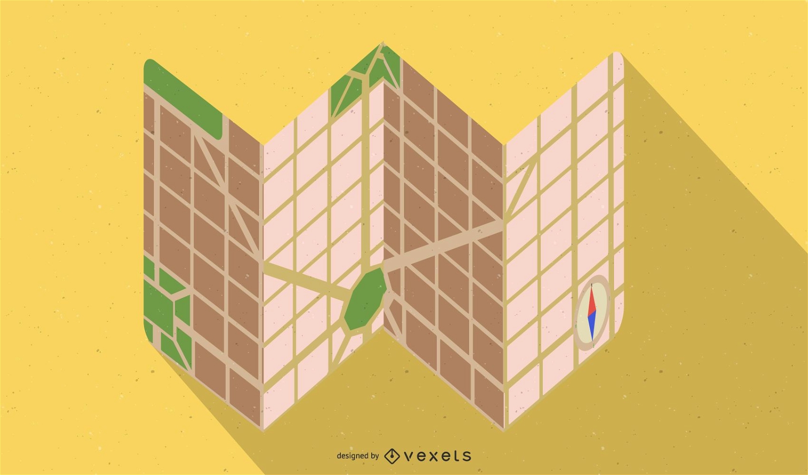
Flat Design Grid Map
Choose a folder
All favorites
Create new
Save
Flat Design Grid Map
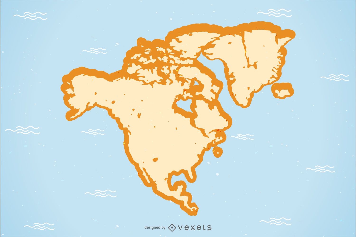
North America Map Vector
Choose a folder
All favorites
Create new
Save
North America Map Vector
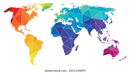
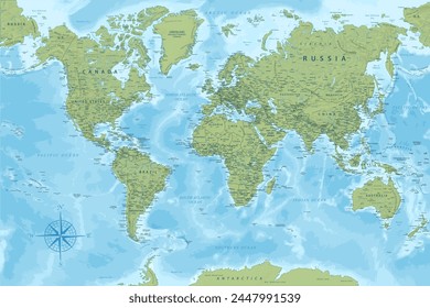
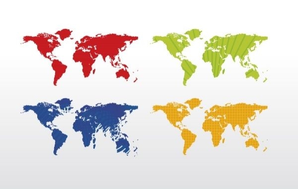
World map (4 colors)
Choose a folder
All favorites
Create new
Save
World map (4 colors)
Premium
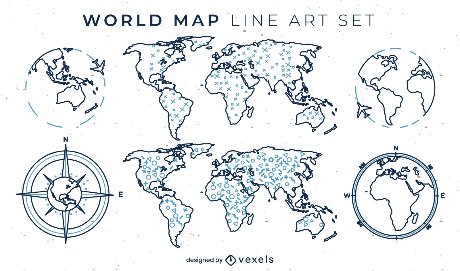
World map set of line art elements
Choose a folder
All favorites
Create new
Save
World map set of line art elements
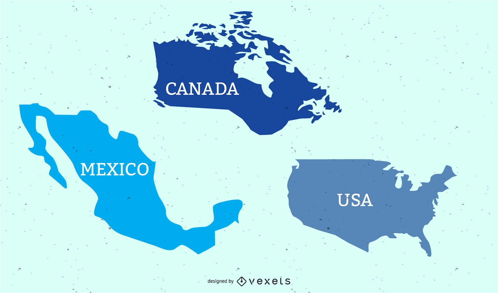
USA Canada & Mexican Flat Map
Choose a folder
All favorites
Create new
Save
USA Canada & Mexican Flat Map
Vector laptop with keyboard map
Choose a folder
All favorites
Create new
Save
Vector laptop with keyboard map
Kindle Direct
Editable text
Premium
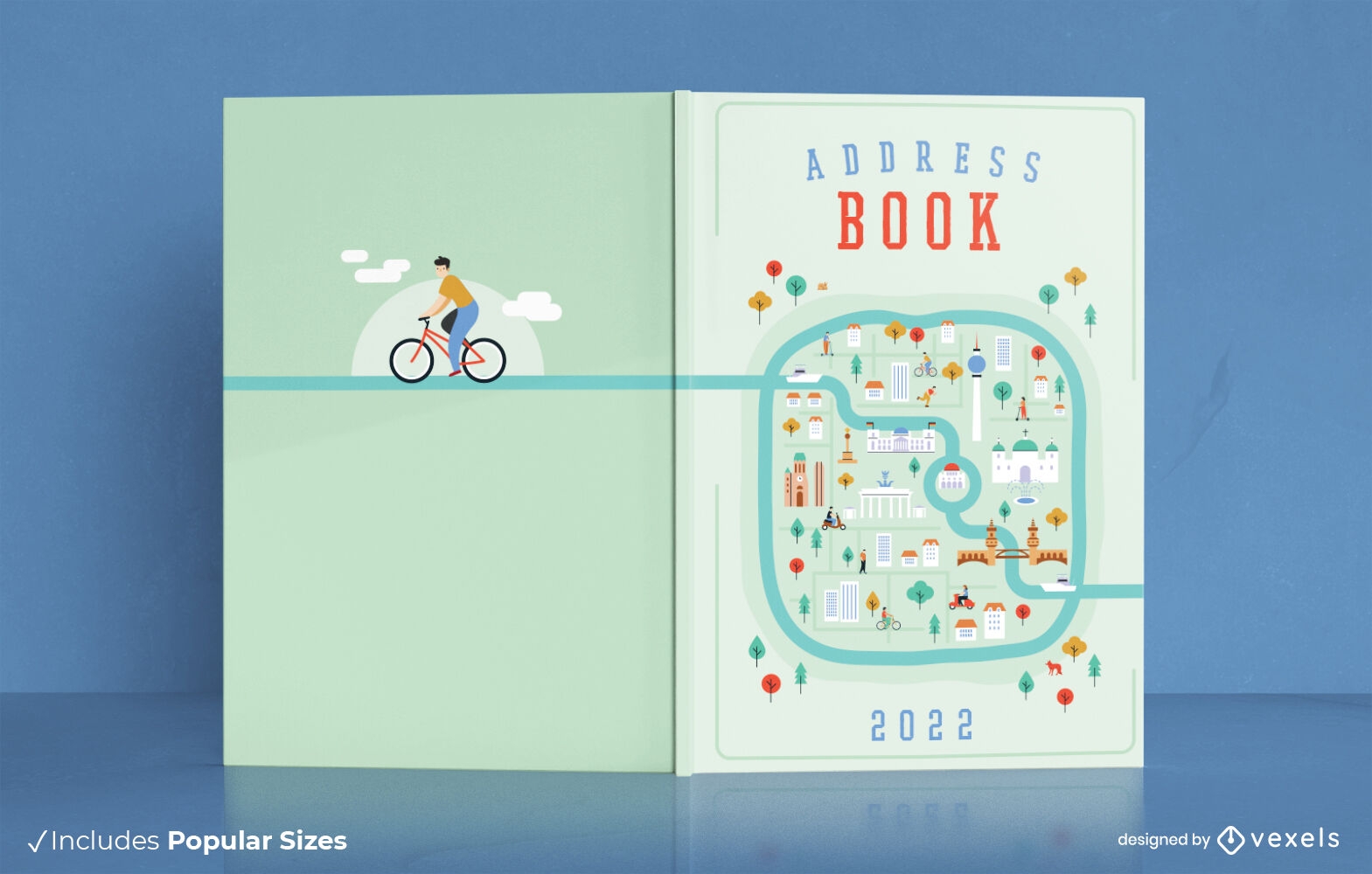
City map address book cover design
Choose a folder
All favorites
Create new
Save
City map address book cover design
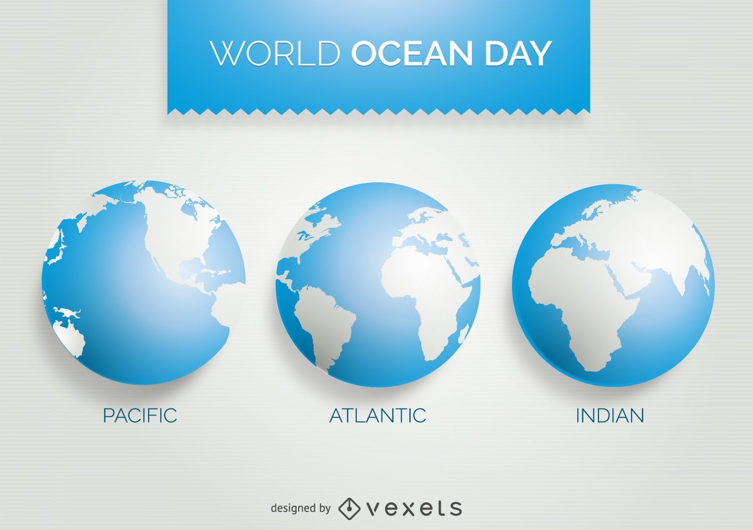
World Ocean Day 3 world map design
Choose a folder
All favorites
Create new
Save
World Ocean Day 3 world map design
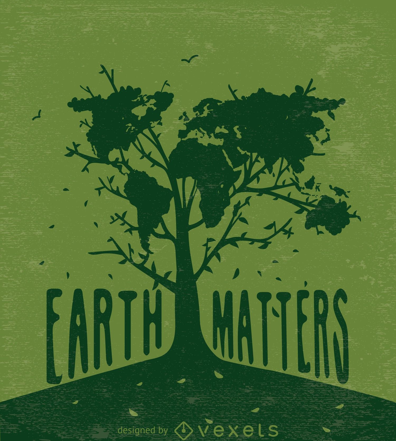
Earth matters-Tree with world map in green
Choose a folder
All favorites
Create new
Save
Earth matters-Tree with world map in green
Editable text
Premium
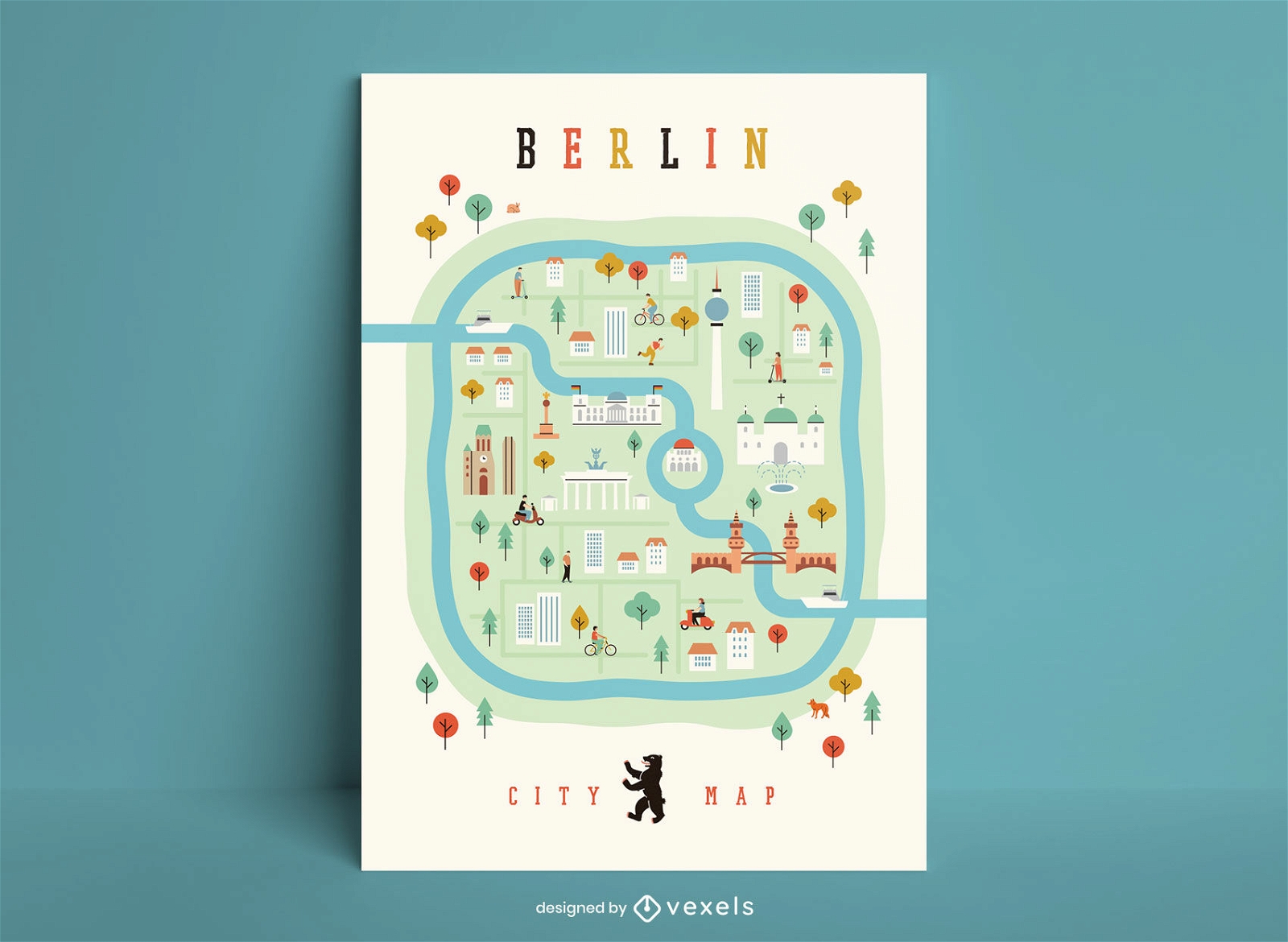
Berlin city map poster template
Choose a folder
All favorites
Create new
Save
Berlin city map poster template
Dots World map infographic template
Choose a folder
All favorites
Create new
Save
Dots World map infographic template
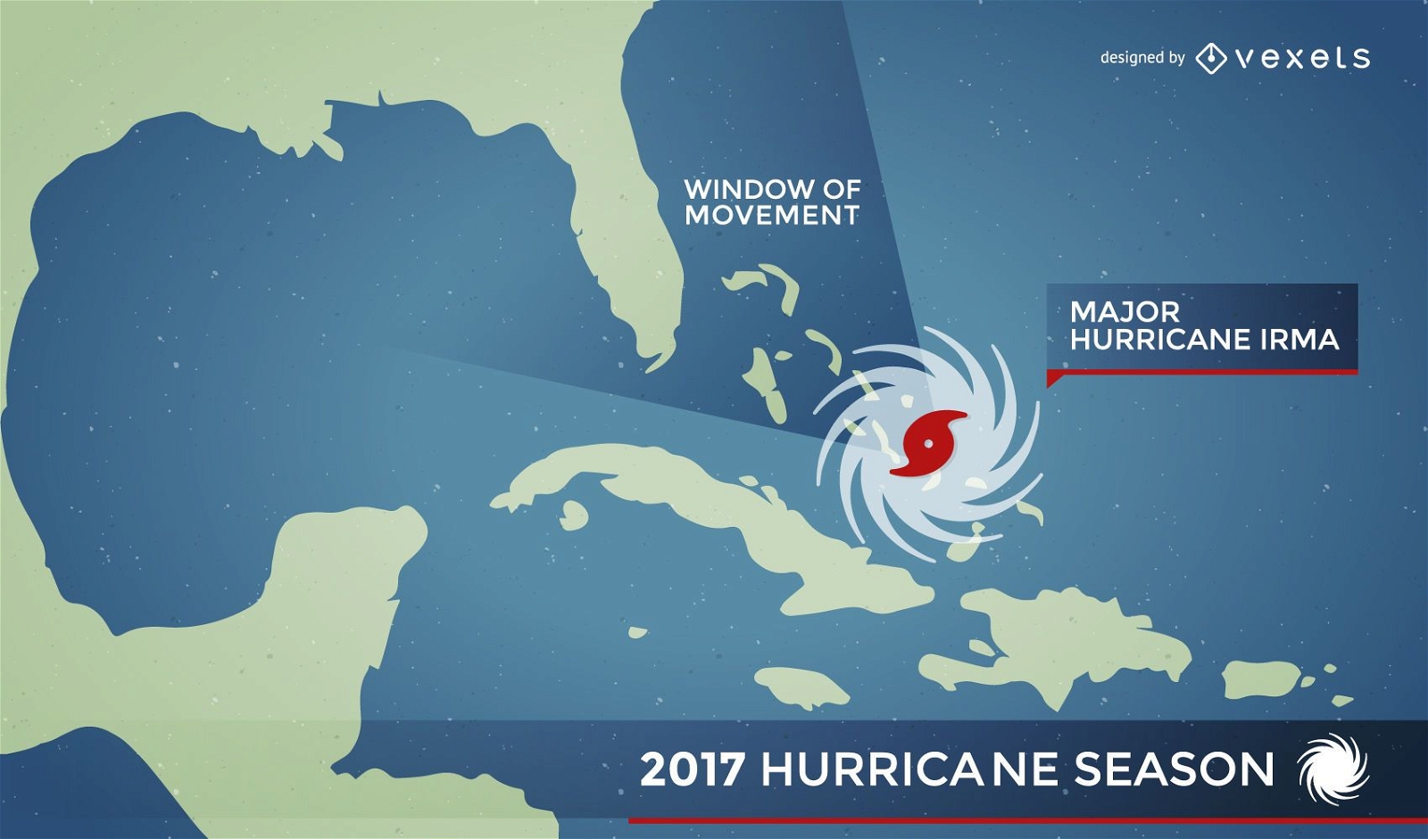
Hurricane Irma map alert
Choose a folder
All favorites
Create new
Save
Hurricane Irma map alert
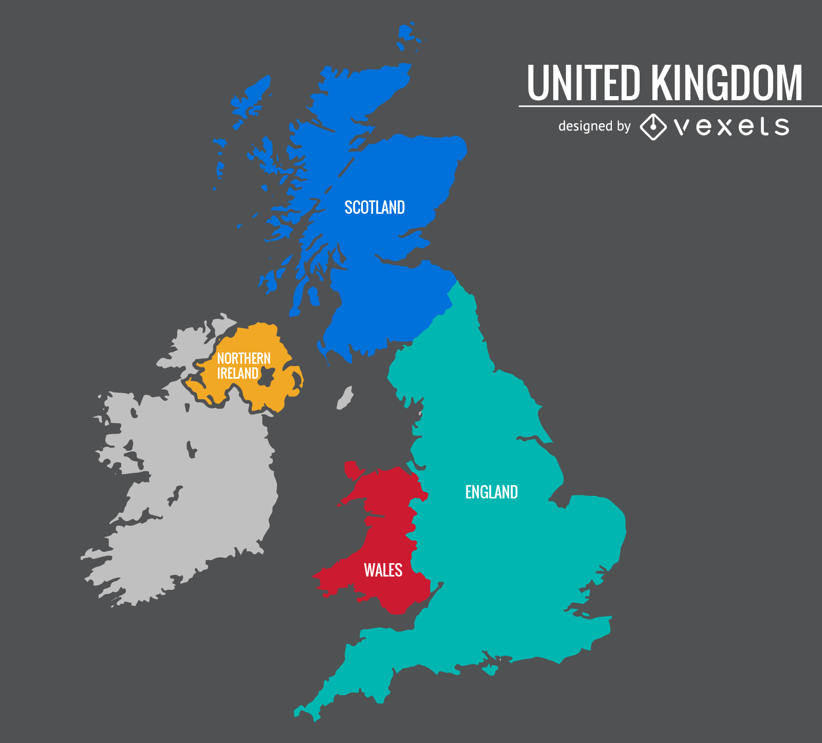
United Kingdom colorful map
Choose a folder
All favorites
Create new
Save
United Kingdom colorful map
Rounded Contact Icons
Choose a folder
All favorites
Create new
Save
Rounded Contact Icons
Cream worldmap silhouette
Choose a folder
All favorites
Create new
Save
Cream worldmap silhouette
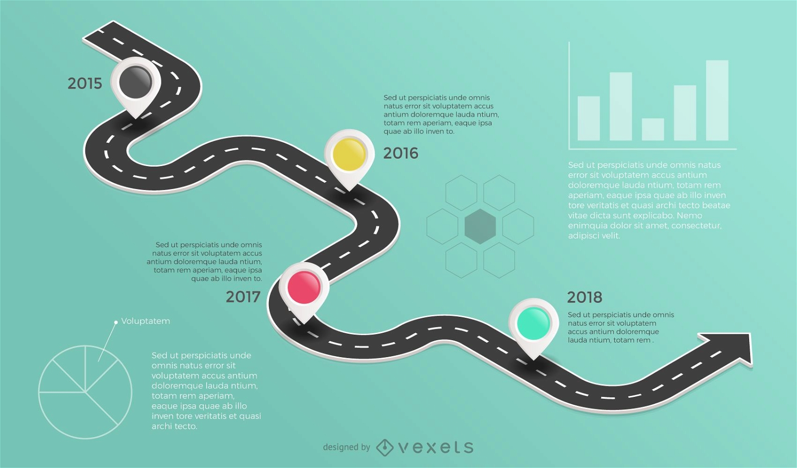
Roadmap infographic
Choose a folder
All favorites
Create new
Save
Roadmap infographic
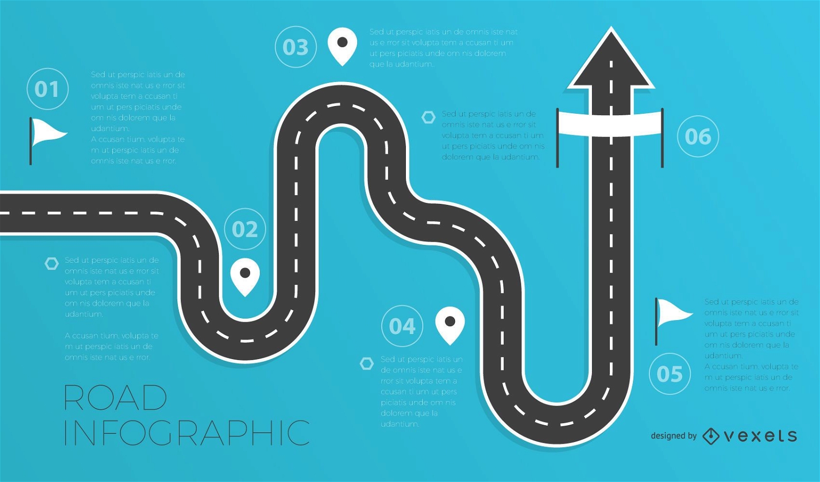
Road infographics template
Choose a folder
All favorites
Create new
Save
Road infographics template
Editable text
Print ready
Premium
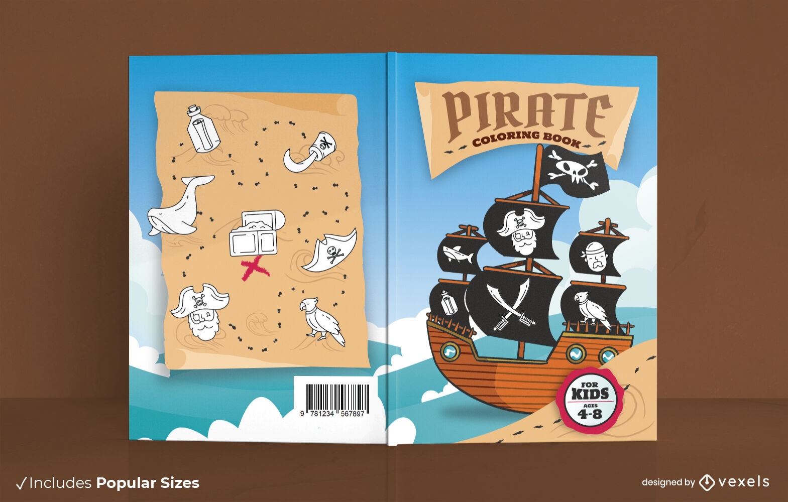
Pirate ship book cover design
Choose a folder
All favorites
Create new
Save
Pirate ship book cover design
Print ready
Premium
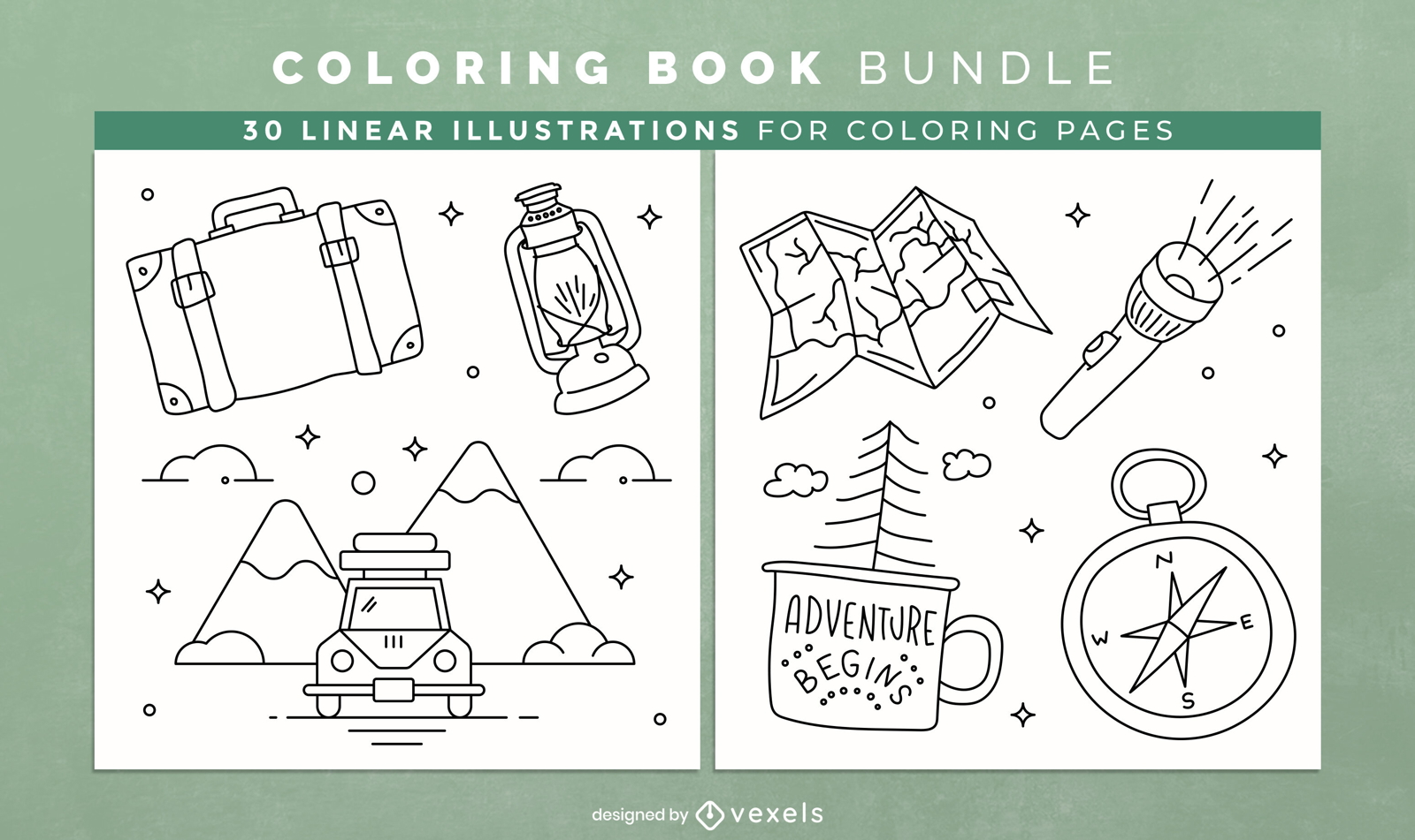
Camping coloring book KDP interior design
Choose a folder
All favorites
Create new
Save
Camping coloring book KDP interior design
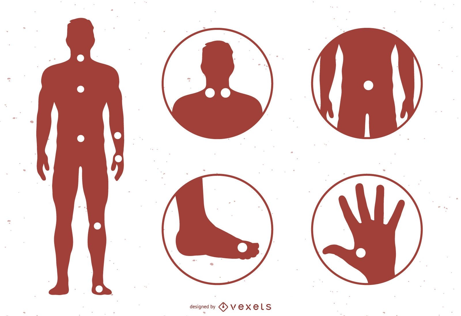
Acupuncture Meridian Points With Reference To The Body Map
Choose a folder
All favorites
Create new
Save
Acupuncture Meridian Points With Reference To The Body Map
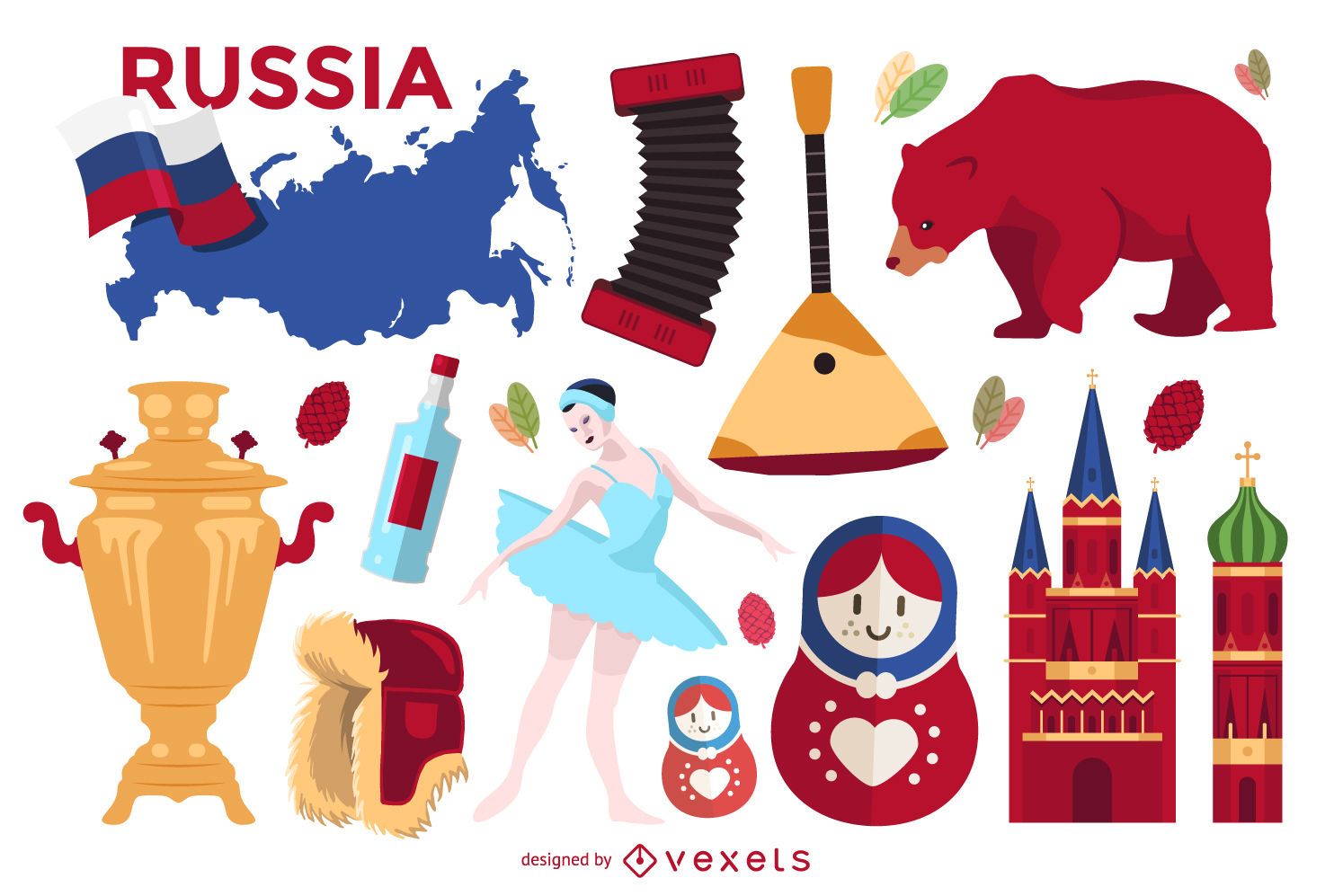
Illustrated Russia elements set
Choose a folder
All favorites
Create new
Save
Illustrated Russia elements set
Airplane travel doodle monuments
Choose a folder
All favorites
Create new
Save
Airplane travel doodle monuments
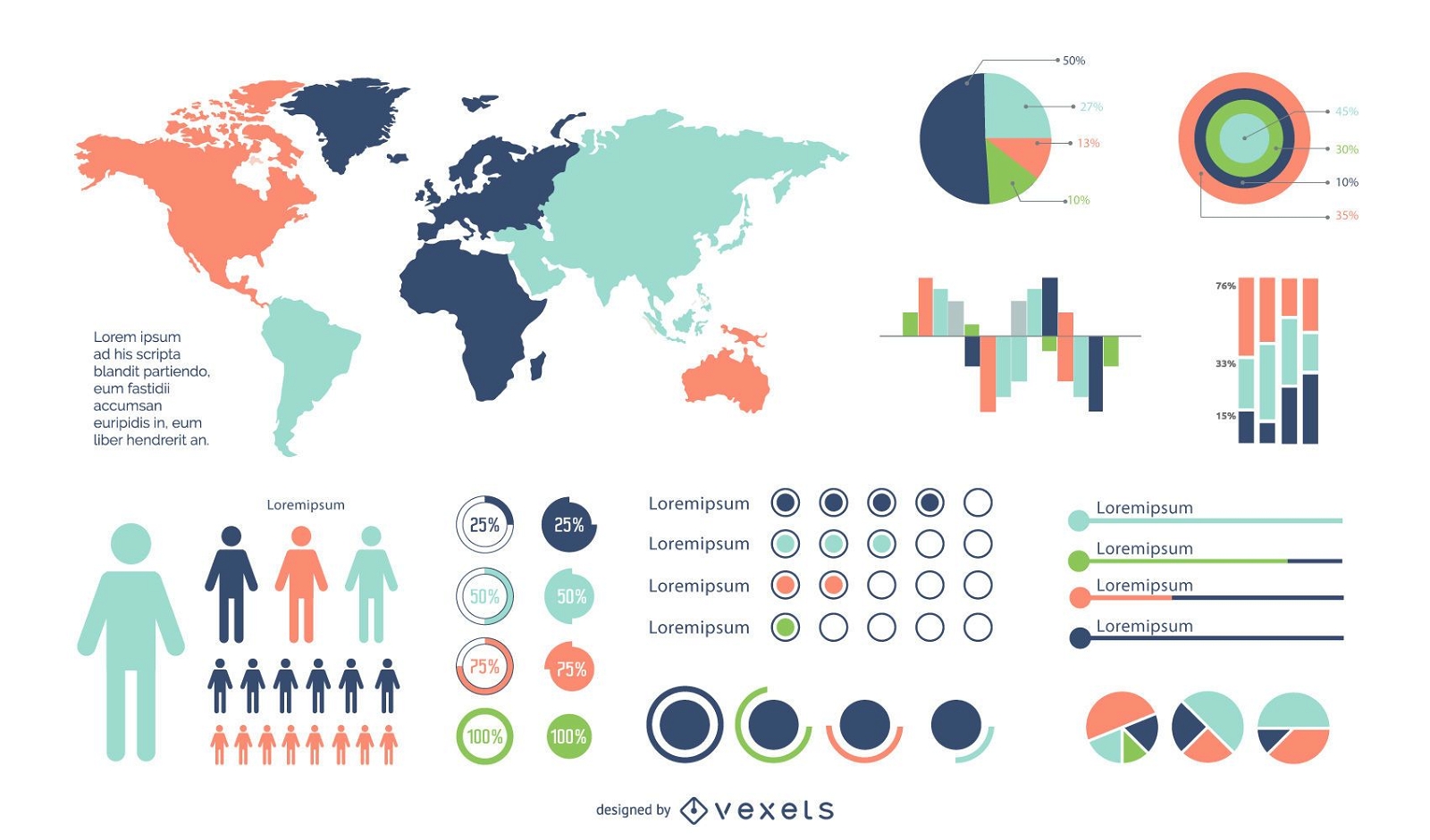
Minimal Colorful Infographic Set
Choose a folder
All favorites
Create new
Save
Minimal Colorful Infographic Set
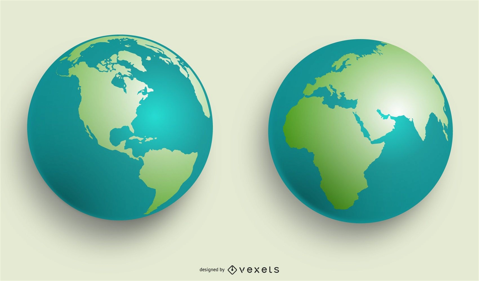
VECTOR WORLD GLOBES
Choose a folder
All favorites
Create new
Save
VECTOR WORLD GLOBES
Tileable pattern
Premium
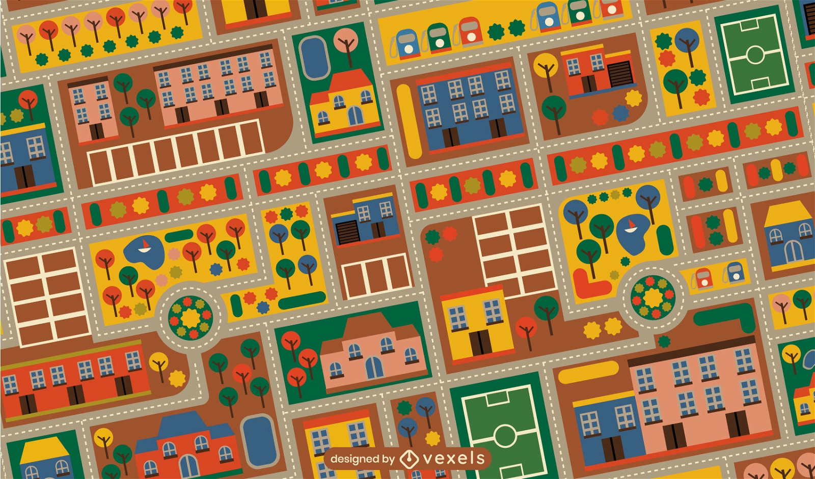
Colorful childrens city carpet pattern design
Choose a folder
All favorites
Create new
Save
Colorful childrens city carpet pattern design
Kindle Direct
Editable text
Premium
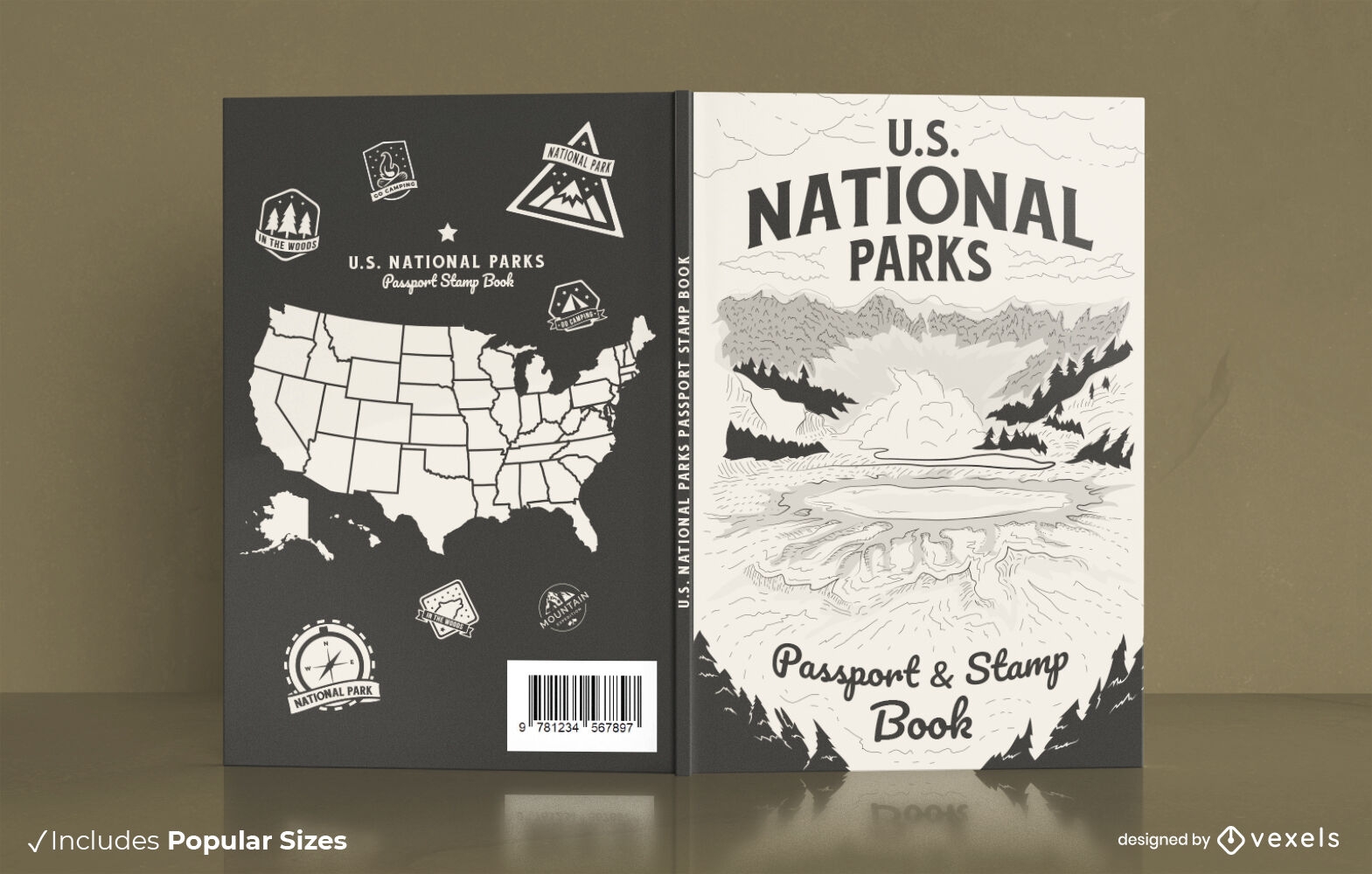
American national parks book cover design
Choose a folder
All favorites
Create new
Save
American national parks book cover design
Tileable pattern
Premium
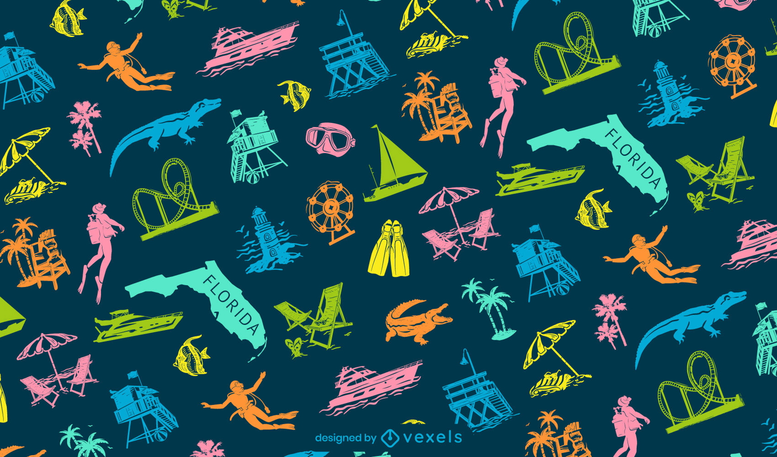
Miami cultural elements pattern design
Choose a folder
All favorites
Create new
Save
Miami cultural elements pattern design
Glossy Colorful Infographic Elements
Choose a folder
All favorites
Create new
Save
Glossy Colorful Infographic Elements
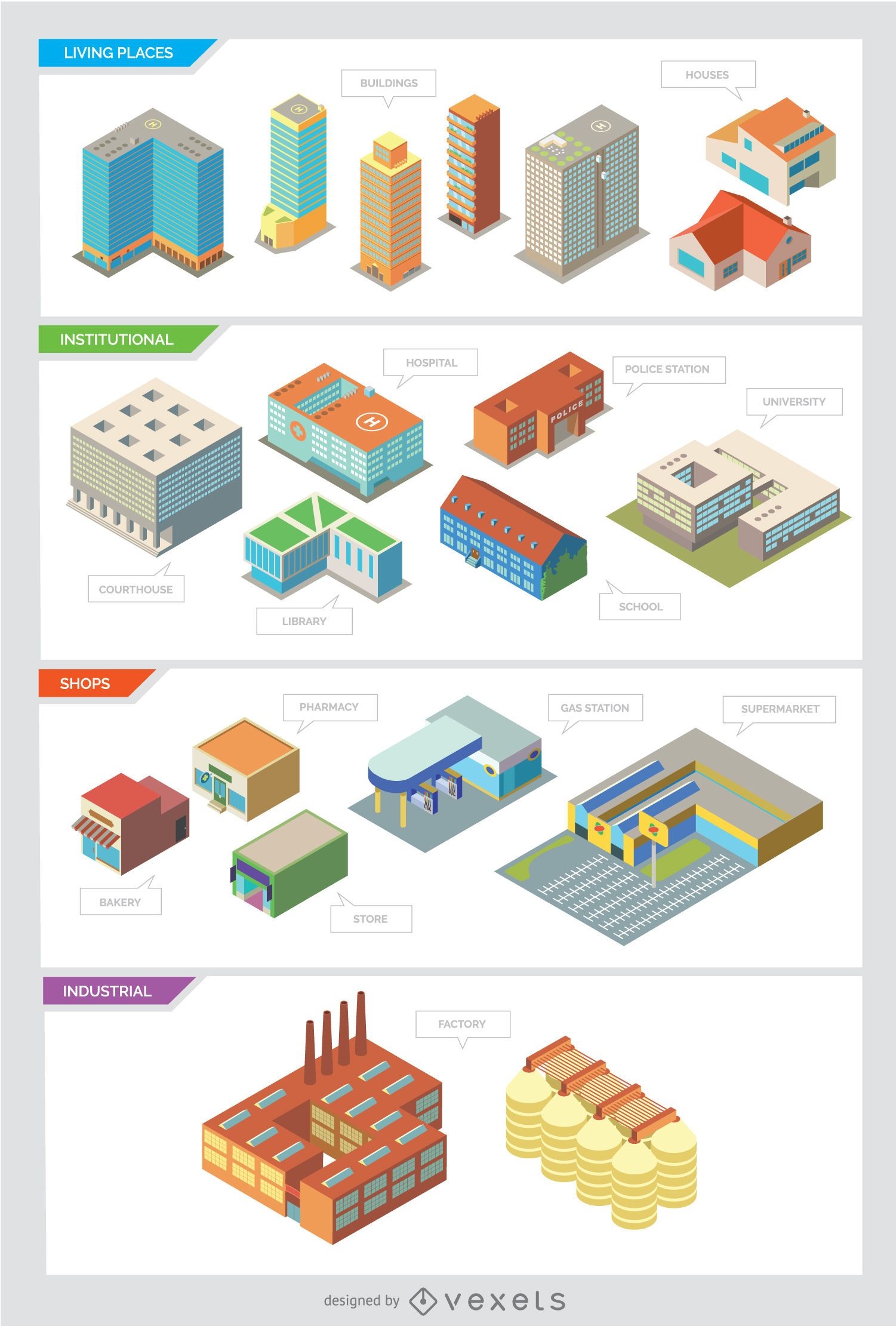
City buildings - Isolated and Isometric
Choose a folder
All favorites
Create new
Save
City buildings - Isolated and Isometric
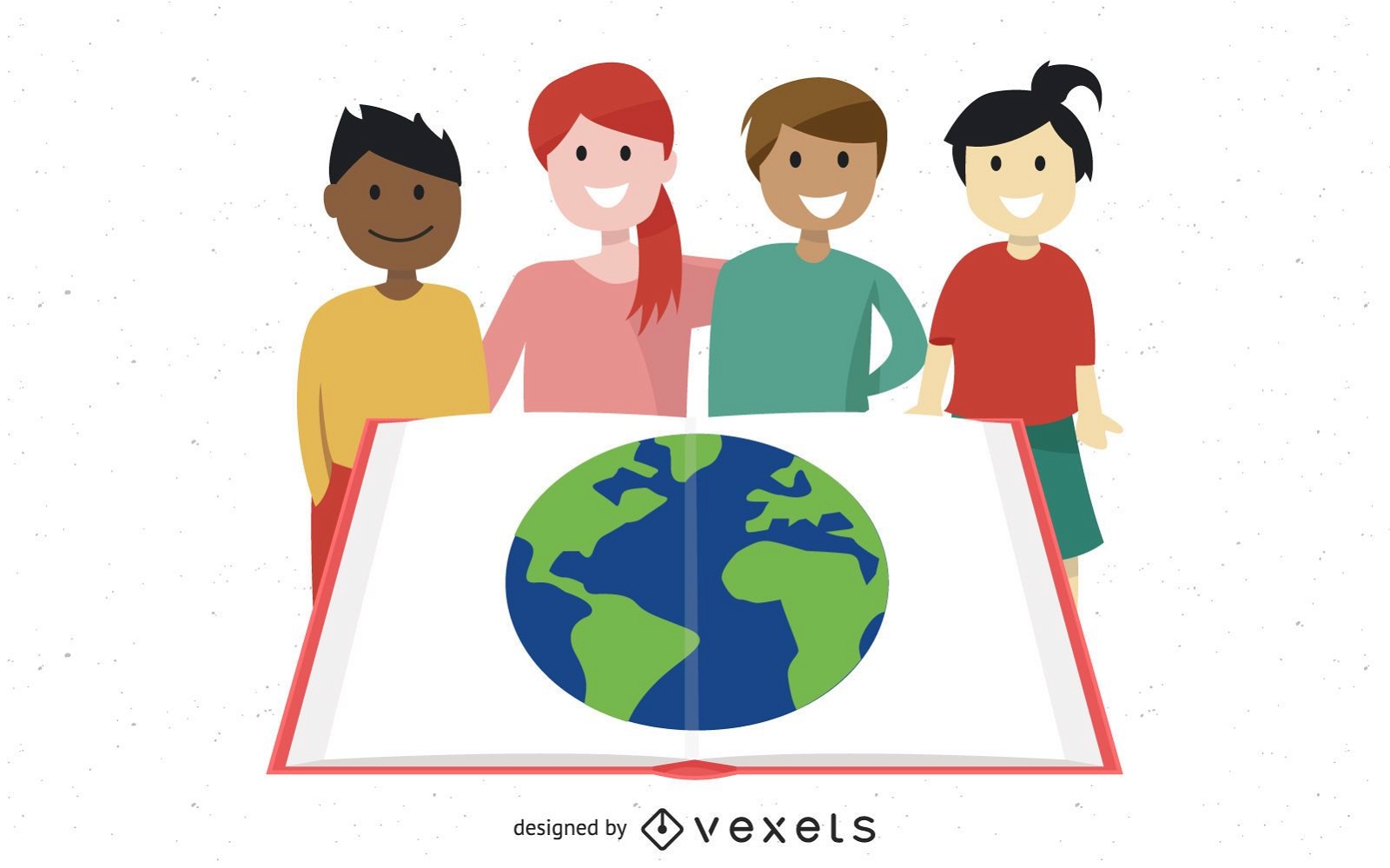
Group Studying Kids with Globe in Open Book
Choose a folder
All favorites
Create new
Save
Group Studying Kids with Globe in Open Book
Subscribe
To Get High-Quality Commercial Use Designs For Your Business
SEE PLANS
Next
of 12
prev page
next page