Design Library
Explore Designs
New Merch Designs
Trending Merch Designs
Vectors
PNGs & SVGs
Mockups
T-Shirts
T-Shirt PSD Templates
KDP Designs
Phone Cases
Pillows
Tote Bags
Posters
Mugs
Design Tools
Designer
New!
T-shirt Maker
Mockup Generator
Quote Generator
Logo Maker
Resources
Merch Digest
Blog
Help Center
Creators Program
Learn About Merch
Changelog
Pricing
Loading...
Sign Up
Login
Vectors
maps
Design Library
Explore Designs
New Merch Designs
Trending Merch Designs
Vectors
PNGs & SVGs
Mockups
T-Shirts
T-Shirt PSD Templates
KDP Designs
Phone Cases
Pillows
Tote Bags
Posters
Mugs
Design Tools
Designer
New!
T-shirt Maker
Mockup Generator
Quote Generator
Logo Maker
Resources
Merch Digest
Blog
Help Center
Creators Program
Learn About Merch
Changelog
PLANS
Vectors
maps
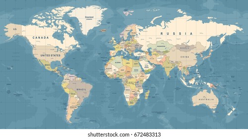
363 maps Vectors & Graphics to Download
Download maps editable vector graphics for every design project. In AI, SVG, PNG, JPG and PSD.
Related:
base maps
,
world livestock maps
,
old maps
Sort by
Most relevant
Sponsored results by
Get 15% off with code: VEXELS15
Show more
Print ready
for Merch
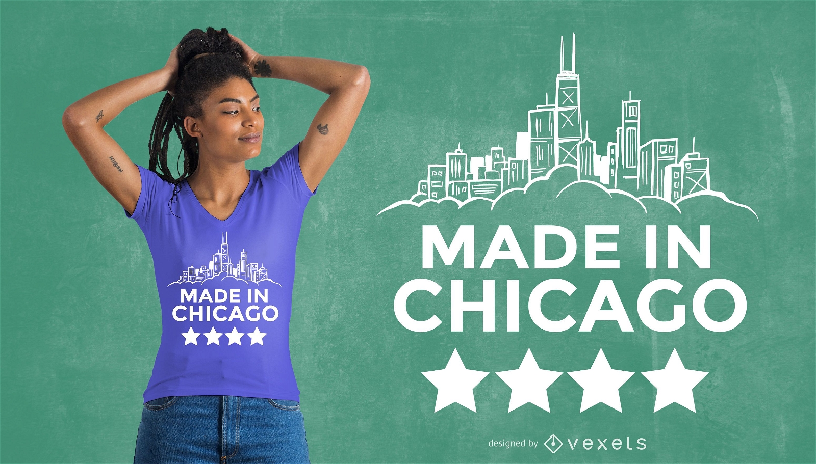
Made in Chicago T-Shirt Design
Choose a folder
All favorites
Create new
Save
Made in Chicago T-Shirt Design
Print ready
for Merch
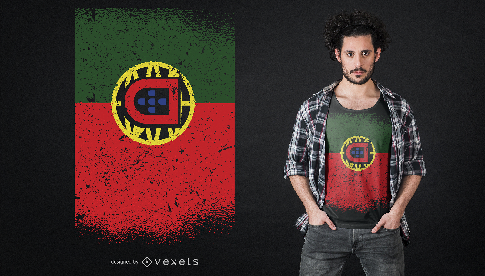
Grunge Portugal T-Shirt Design
Choose a folder
All favorites
Create new
Save
Grunge Portugal T-Shirt Design
Print ready
for Merch
Australia flag t-shirt design
Choose a folder
All favorites
Create new
Save
Australia flag t-shirt design
for Merch
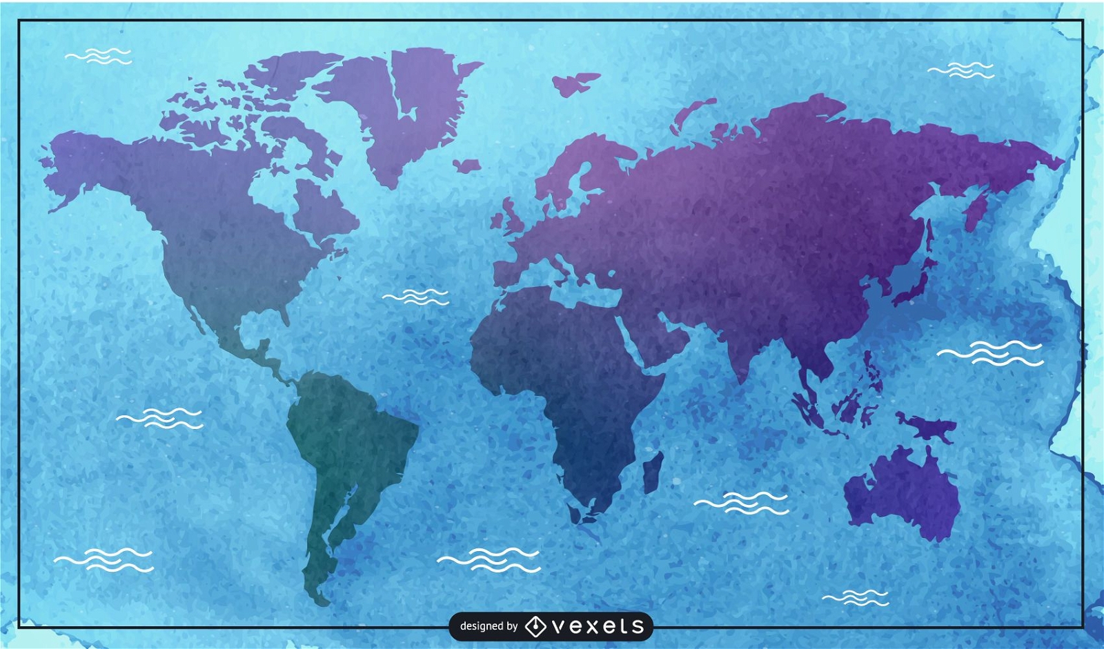
Watercolor map illustration
Choose a folder
All favorites
Create new
Save
Watercolor map illustration
Print ready
for Merch
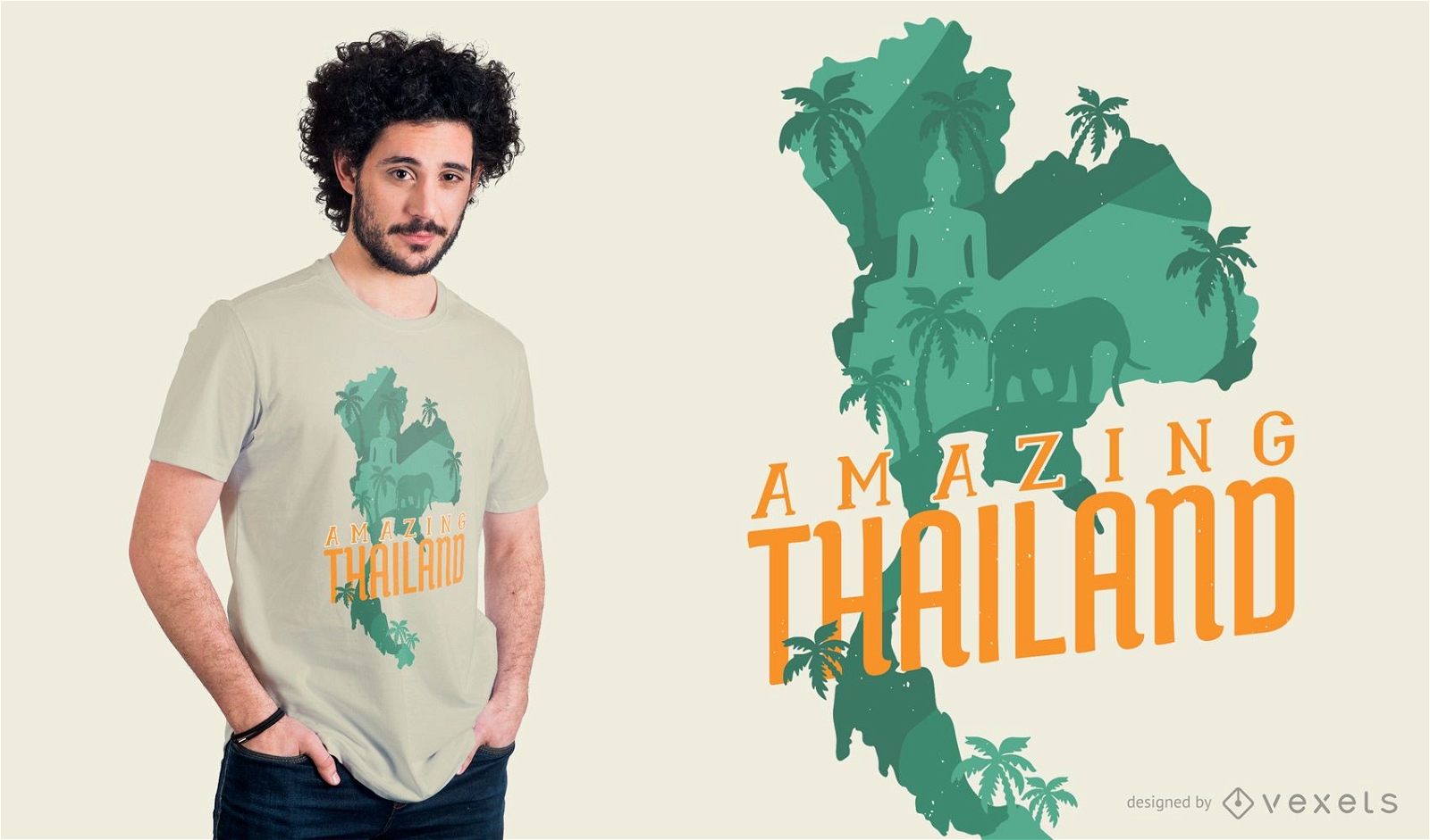
Amazing Thailand T-shirt Design
Choose a folder
All favorites
Create new
Save
Amazing Thailand T-shirt Design
Print ready
for Merch
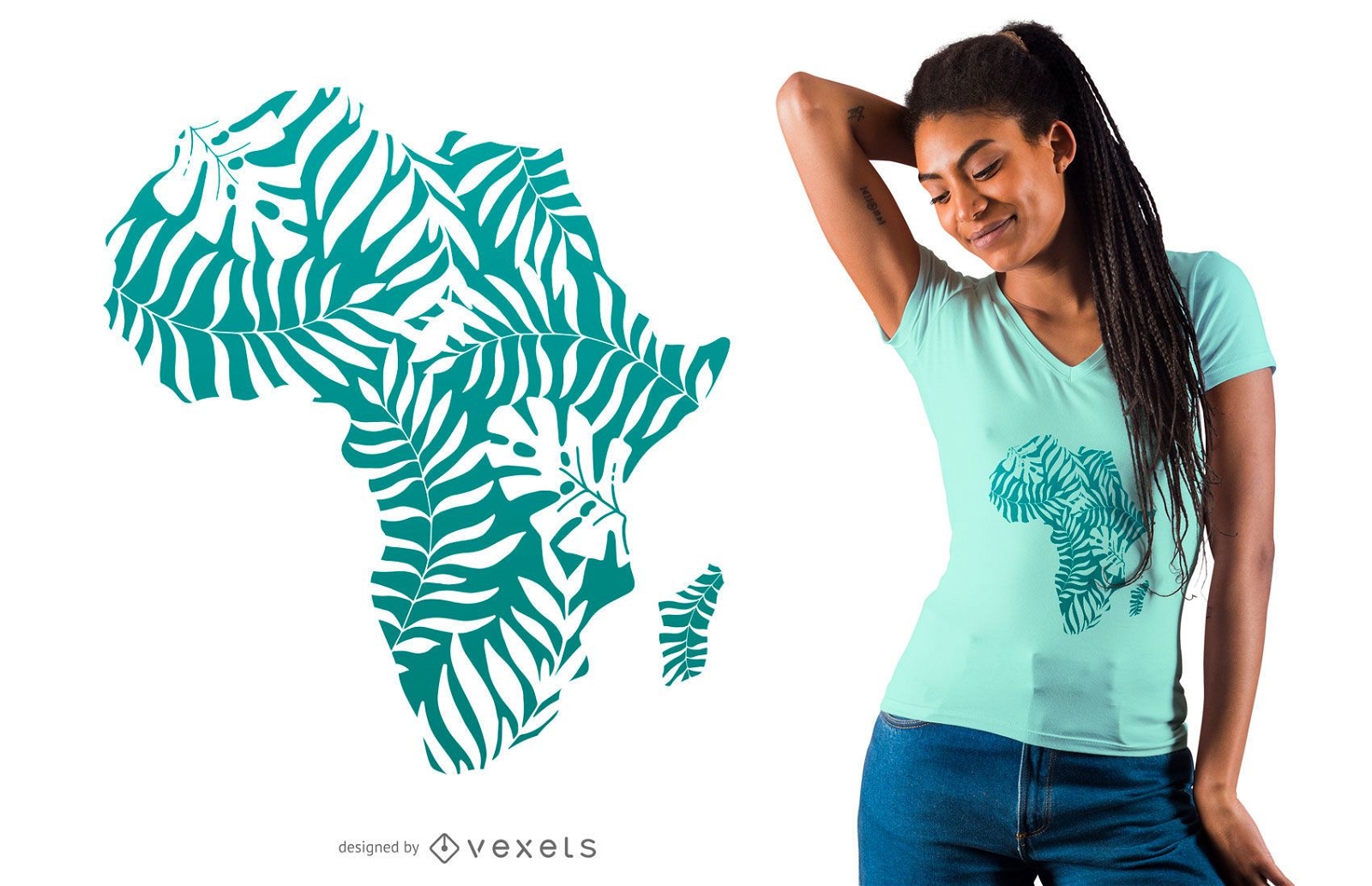
Tropical leaves africa t-shirt design
Choose a folder
All favorites
Create new
Save
Tropical leaves africa t-shirt design
Print ready
for Merch
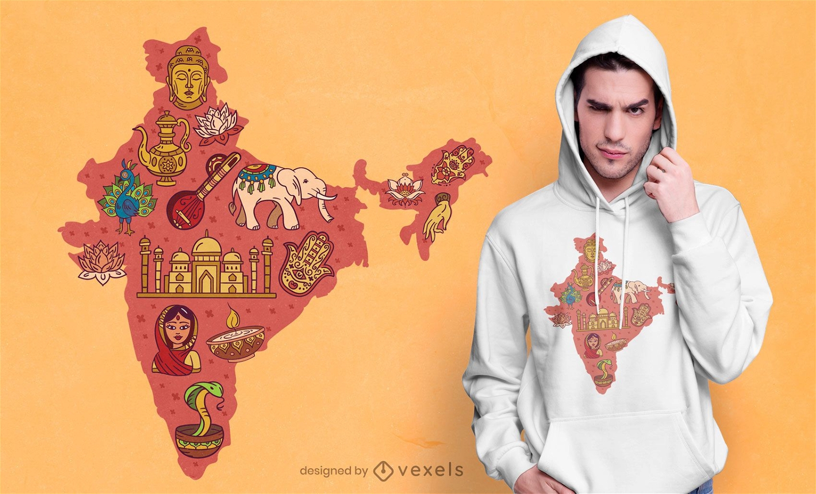
India map t-shirt design
Choose a folder
All favorites
Create new
Save
India map t-shirt design
Print ready
for Merch
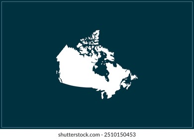
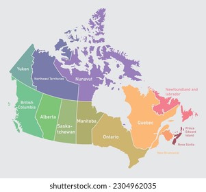
Canada national parks map t-shirt design
Choose a folder
All favorites
Create new
Save
Canada national parks map t-shirt design
Print ready
for Merch
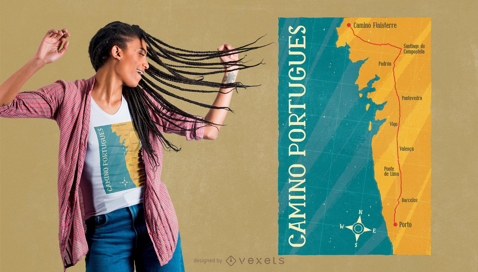
Camino Portugues t-shirt design
Choose a folder
All favorites
Create new
Save
Camino Portugues t-shirt design
Print ready
for Merch
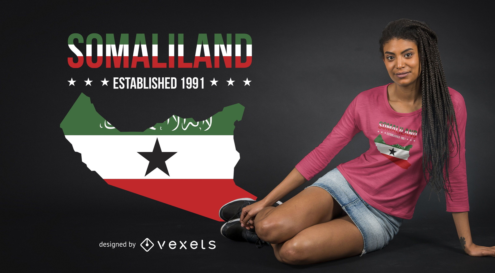
Somaliland T-shirt Design
Choose a folder
All favorites
Create new
Save
Somaliland T-shirt Design
Print ready
for Merch
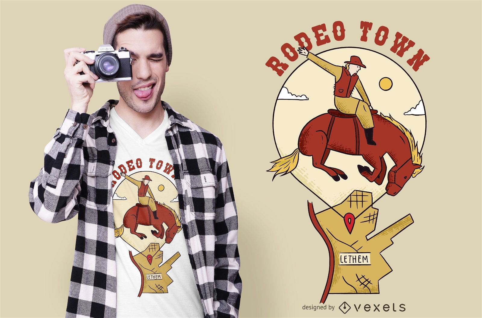
Rodeo town t-shirt design
Choose a folder
All favorites
Create new
Save
Rodeo town t-shirt design
Print ready
for Merch
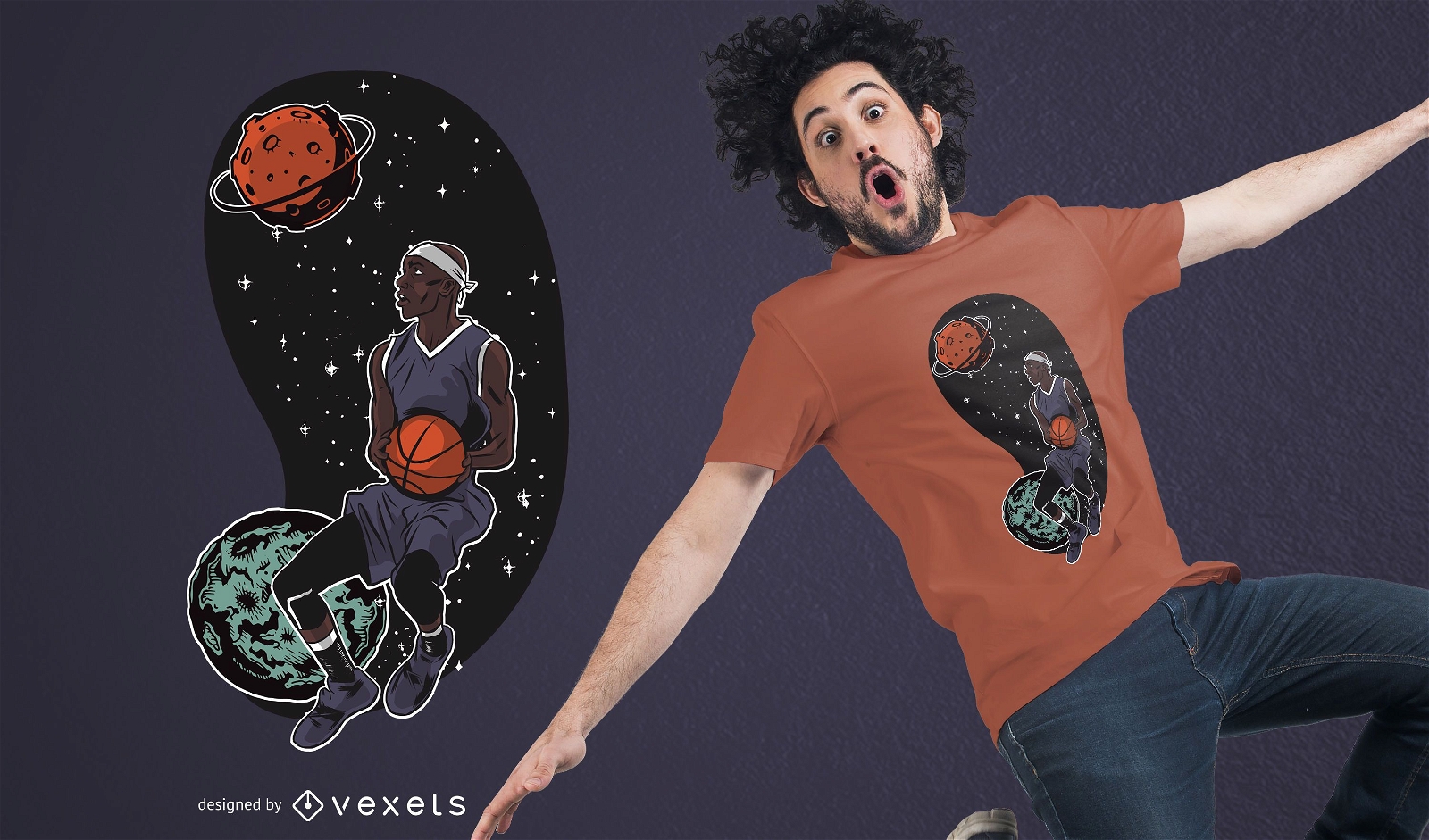
Outta Space Basketballer T-shirt Design
Choose a folder
All favorites
Create new
Save
Outta Space Basketballer T-shirt Design
Print ready
for Merch
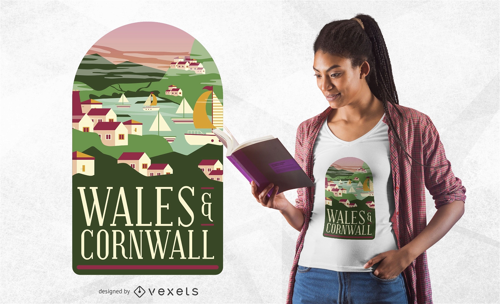
Wales & Cornwall T-Shirt Design
Choose a folder
All favorites
Create new
Save
Wales & Cornwall T-Shirt Design
Subscribe
To Get High-Quality Commercial Use Designs For Your Business
SEE PLANS
of 8
prev page
next page