Design Library
Explore Designs
New Merch Designs
Trending Merch Designs
Vectors
PNGs & SVGs
Mockups
T-Shirts
T-Shirt PSD Templates
KDP Designs
Phone Cases
Pillows
Tote Bags
Posters
Mugs
Design Tools
Designer
New!
T-shirt Maker
Mockup Generator
Quote Generator
Logo Maker
Resources
Merch Digest
Blog
Help Center
Creators Program
Learn About Merch
Changelog
Pricing
Loading...
Sign Up
Login
Vectors
states
Design Library
Explore Designs
New Merch Designs
Trending Merch Designs
Vectors
PNGs & SVGs
Mockups
T-Shirts
T-Shirt PSD Templates
KDP Designs
Phone Cases
Pillows
Tote Bags
Posters
Mugs
Design Tools
Designer
New!
T-shirt Maker
Mockup Generator
Quote Generator
Logo Maker
Resources
Merch Digest
Blog
Help Center
Creators Program
Learn About Merch
Changelog
PLANS
Vectors
states
926 states Vectors & Graphics to Download
Download states editable vector graphics for every design project. In AI, SVG, PNG, JPG and PSD.
Related:
united states
,
united states of america
,
united states skyline
Sort by
Most relevant
Sponsored results by
Get 15% off with code: VEXELS15
Show more
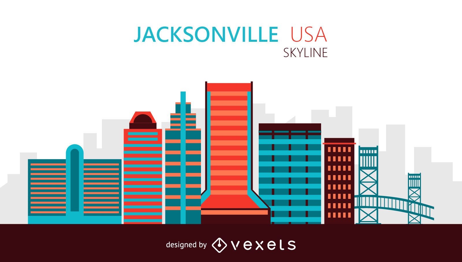
Jacksonville skyline illustration
Choose a folder
All favorites
Create new
Save
Jacksonville skyline illustration
Premium
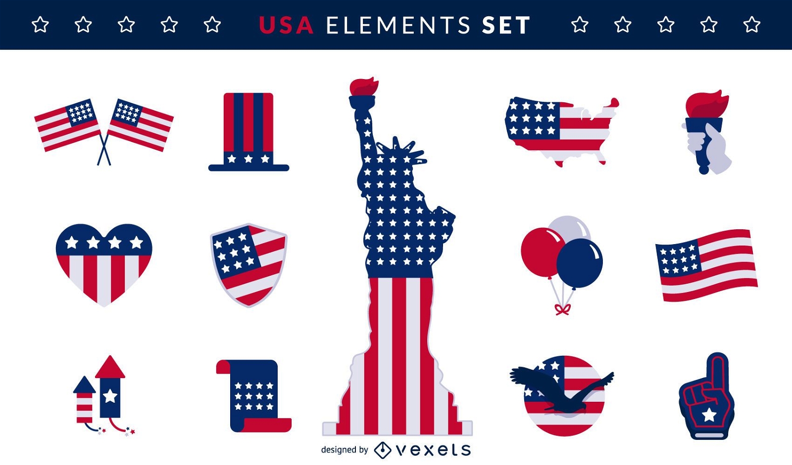
USA flag elements set
Choose a folder
All favorites
Create new
Save
USA flag elements set
Premium
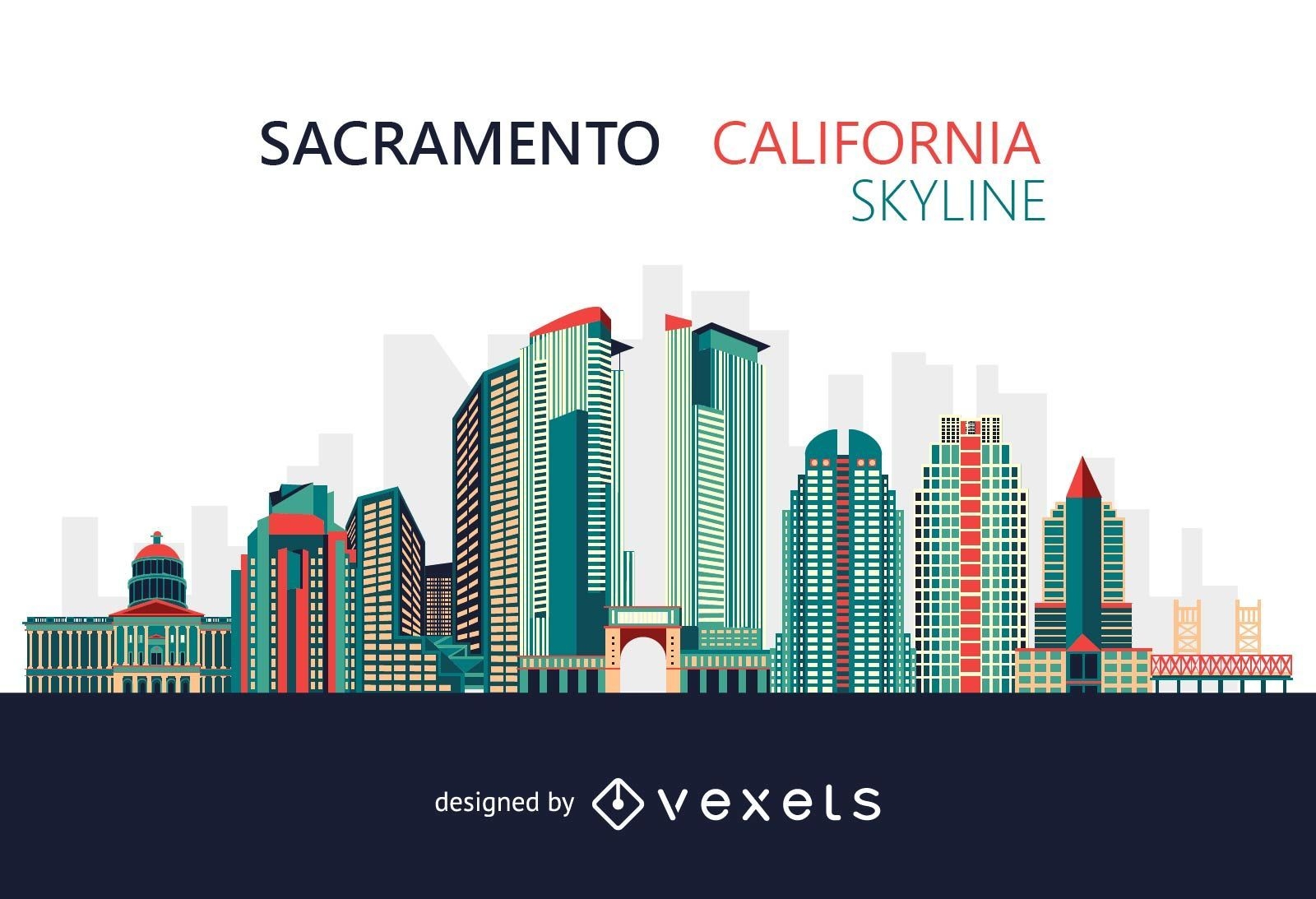
Colorful Sacramento California skyline
Choose a folder
All favorites
Create new
Save
Colorful Sacramento California skyline
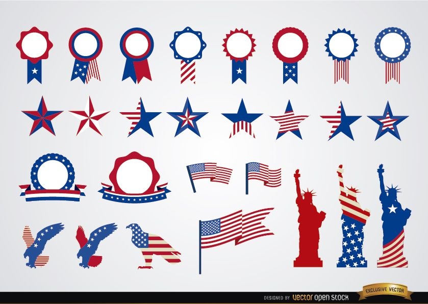
USA round ribbons and decoration set
Choose a folder
All favorites
Create new
Save
USA round ribbons and decoration set
Premium
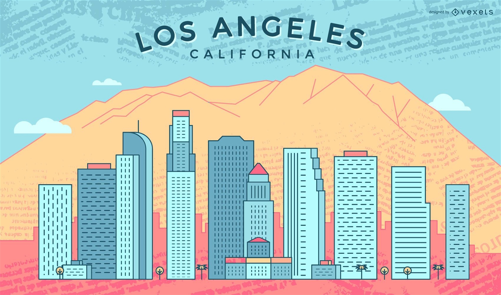
Travel to Los Angeles skyline
Choose a folder
All favorites
Create new
Save
Travel to Los Angeles skyline
Print ready
Premium
Trump Coloring Book Cover Design
Choose a folder
All favorites
Create new
Save
Trump Coloring Book Cover Design
Premium
Happy Independence Day badge design
Choose a folder
All favorites
Create new
Save
Happy Independence Day badge design
New York City Skyline Firework Background
Choose a folder
All favorites
Create new
Save
New York City Skyline Firework Background
Copa America silhouette banner
Choose a folder
All favorites
Create new
Save
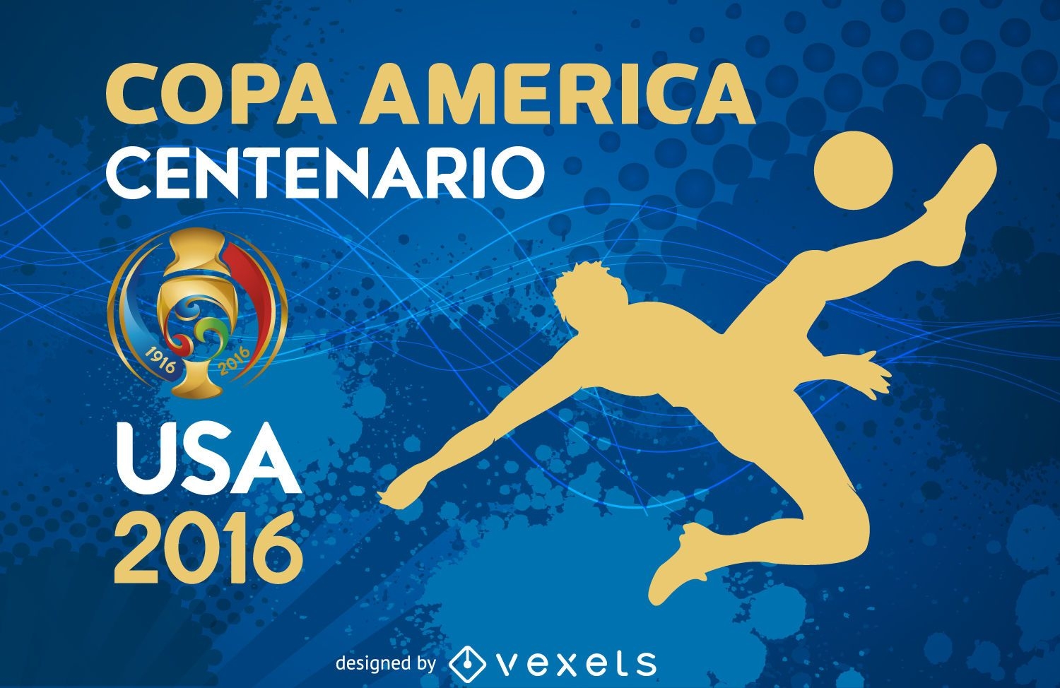
Copa America silhouette banner
Chicago skyline on July 4th celebration
Choose a folder
All favorites
Create new
Save
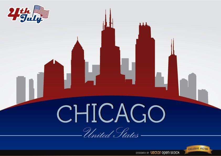
Chicago skyline on July 4th celebration
Photographer logo with landmarks
Choose a folder
All favorites
Create new
Save
Photographer logo with landmarks
New York Reflected Skyline
Choose a folder
All favorites
Create new
Save
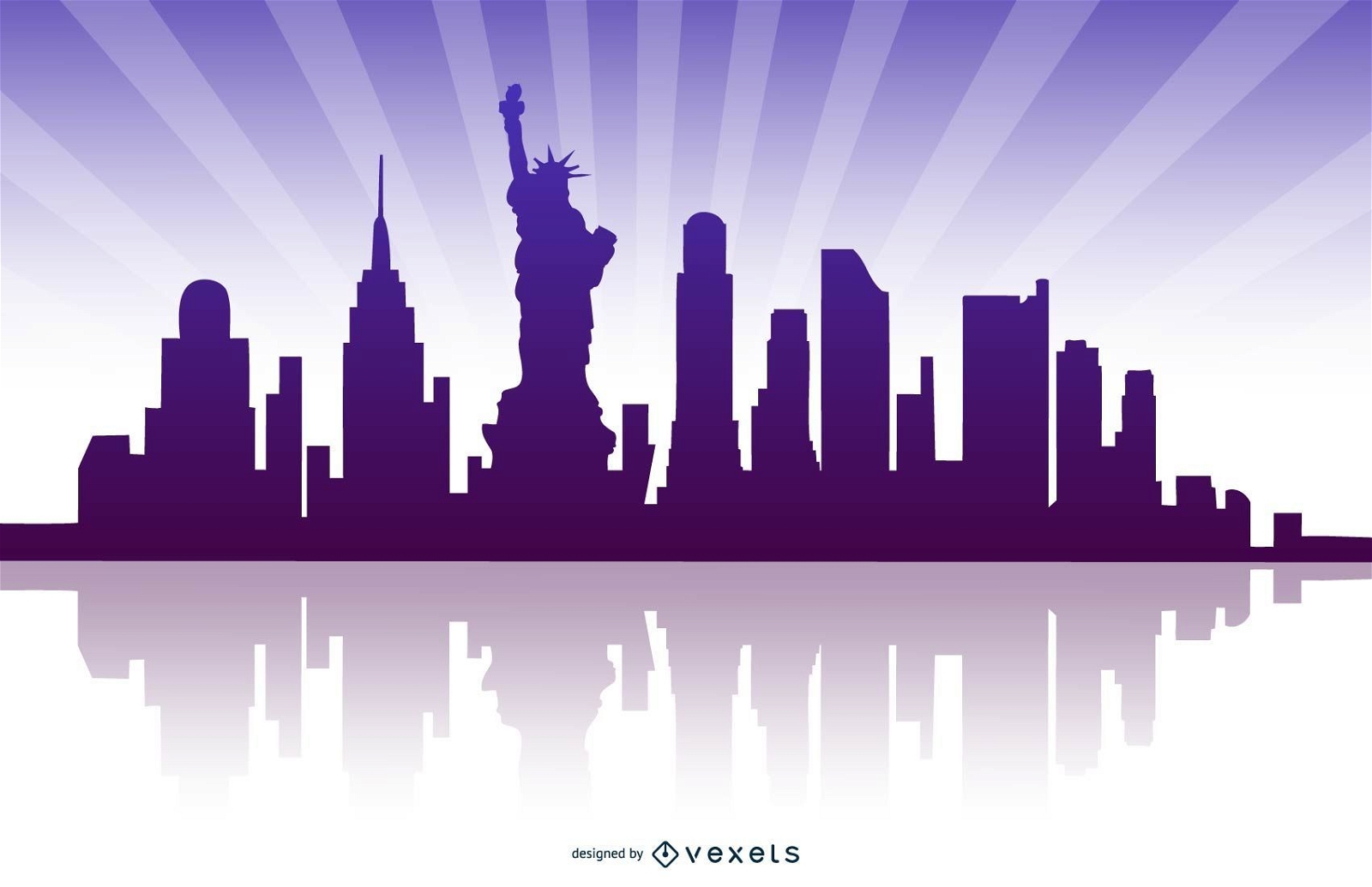
New York Reflected Skyline
Editable text
Print ready
John F. Kennedy portrait t-shirt design
Choose a folder
All favorites
Create new
Save
John F. Kennedy portrait t-shirt design
Premium
Colorful Detroit stroke skyline
Choose a folder
All favorites
Create new
Save
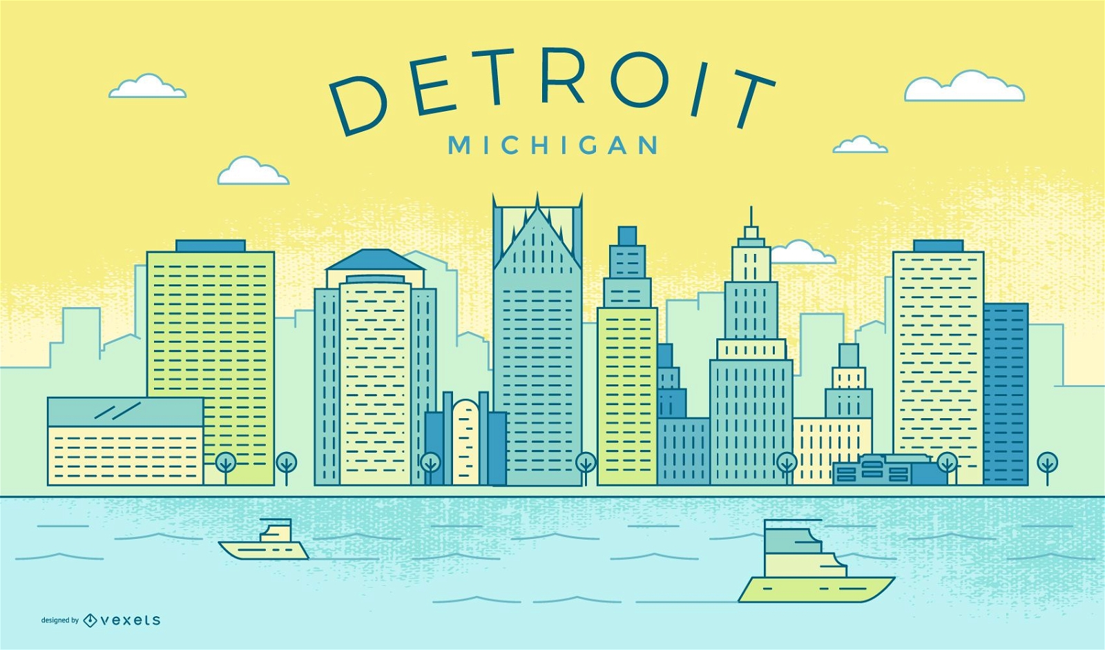
Colorful Detroit stroke skyline
Vector Earth
Choose a folder
All favorites
Create new
Save
Vector Earth
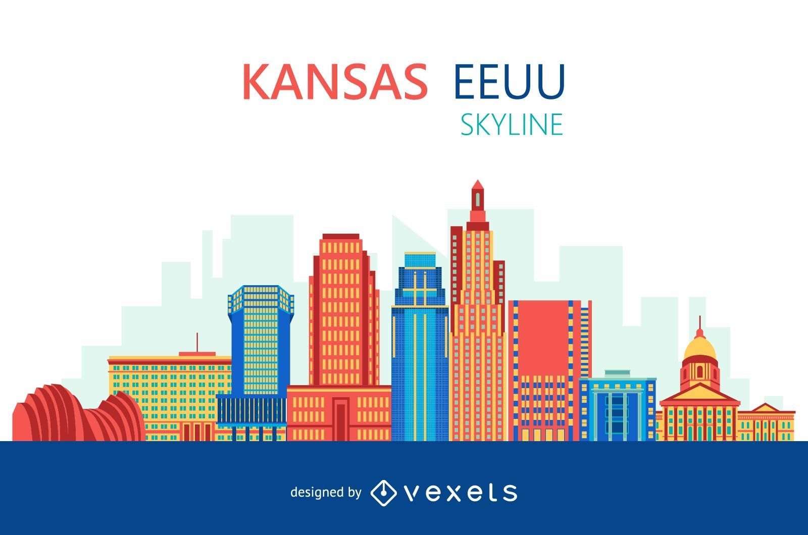
Colorful Kansas skyline
Choose a folder
All favorites
Create new
Save
Colorful Kansas skyline
Feliz Dia Del Padre Background Design
Choose a folder
All favorites
Create new
Save
Feliz Dia Del Padre Background Design
Premium
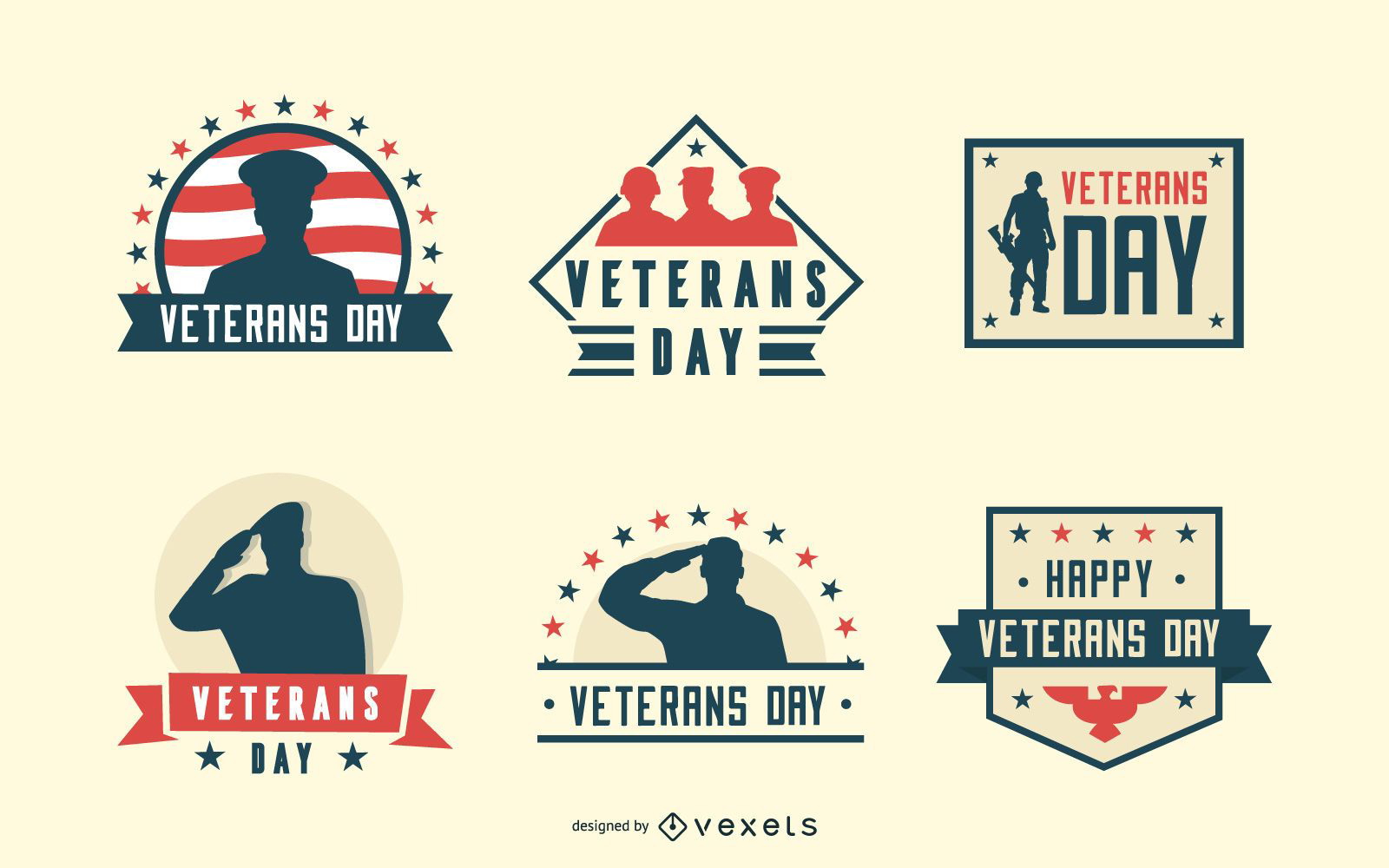
Veterans day badges
Choose a folder
All favorites
Create new
Save
Veterans day badges
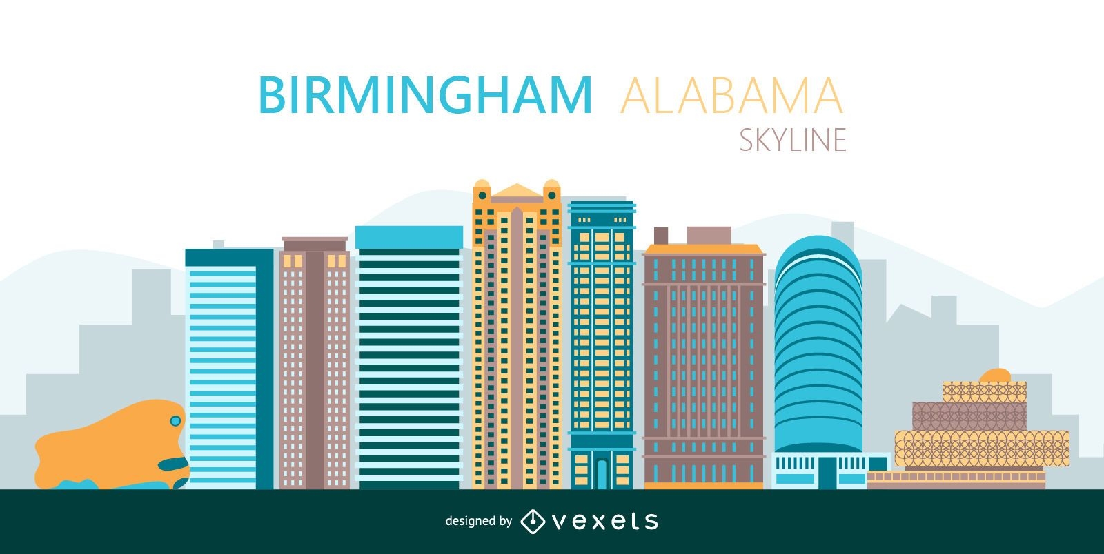
Birmingham Colorful skyline silhouette
Choose a folder
All favorites
Create new
Save
Birmingham Colorful skyline silhouette
New York City illustration poster
Choose a folder
All favorites
Create new
Save
New York City illustration poster
Blue and gold vector background
Choose a folder
All favorites
Create new
Save
Blue and gold vector background
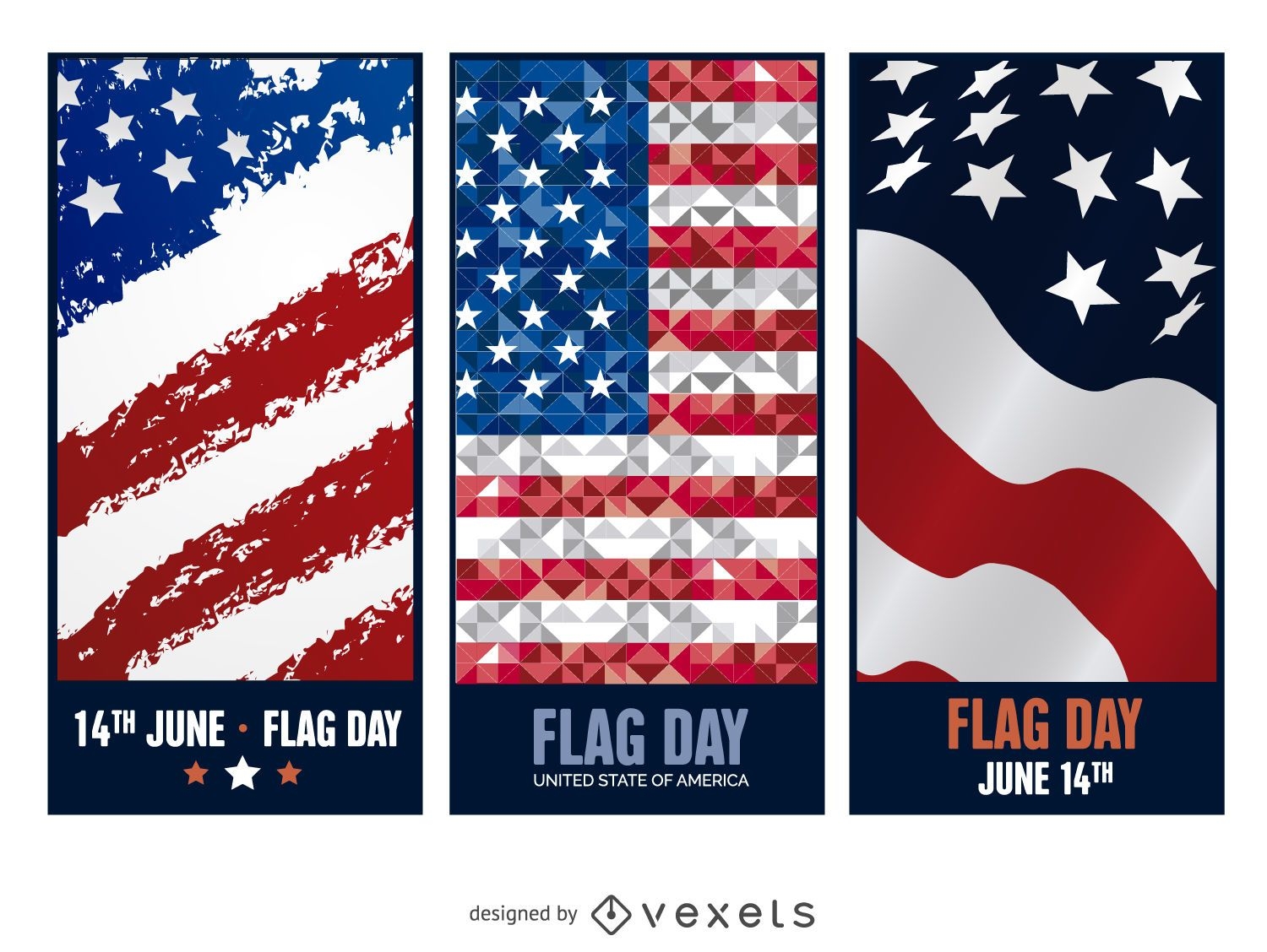
3 Flag Day banners
Choose a folder
All favorites
Create new
Save
3 Flag Day banners
Christmas fireworks New York skyline
Choose a folder
All favorites
Create new
Save
Christmas fireworks New York skyline
Premium
4th of July badge pack
Choose a folder
All favorites
Create new
Save
4th of July badge pack
Premium
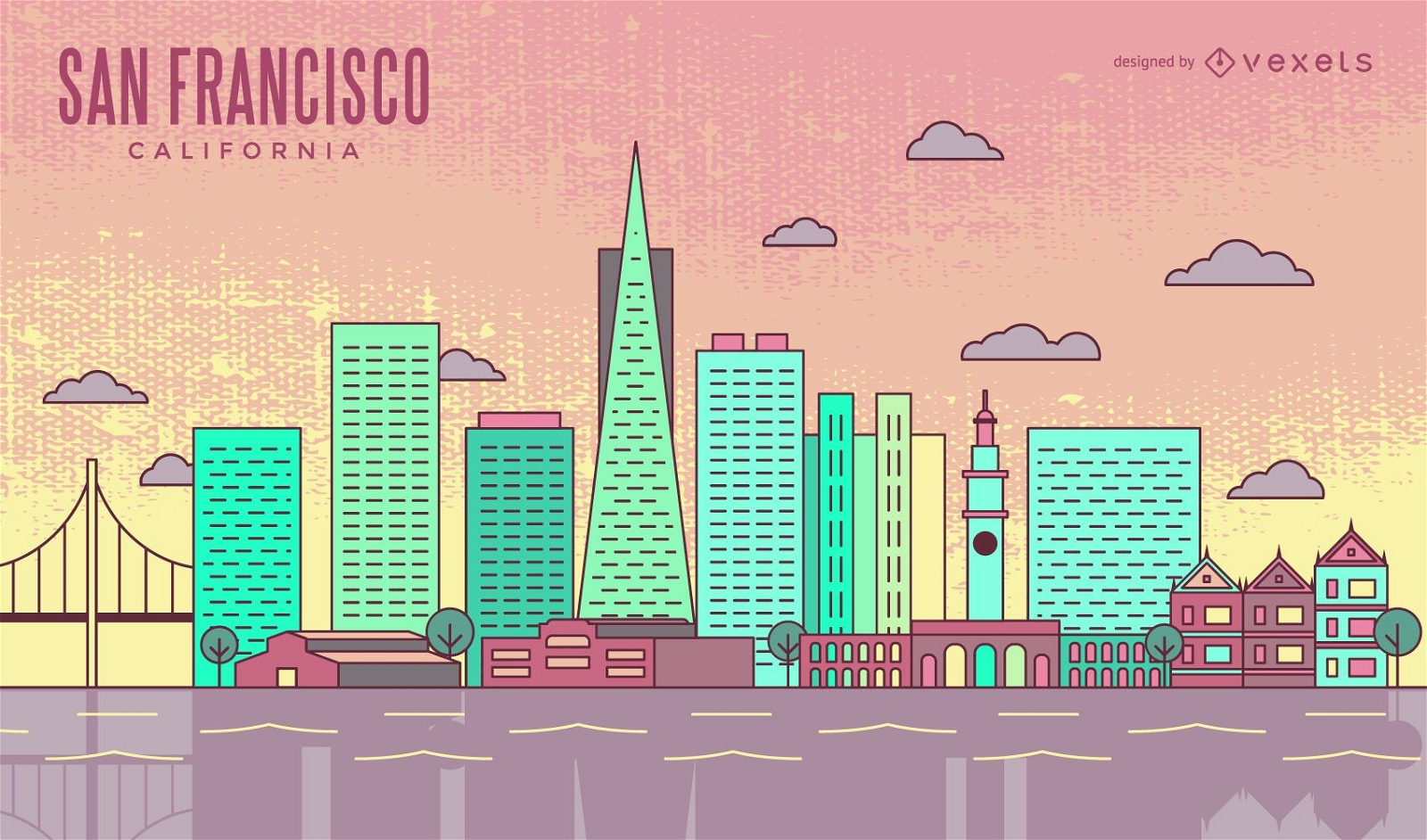
Colorful San Francisco stroke skyline
Choose a folder
All favorites
Create new
Save
Colorful San Francisco stroke skyline
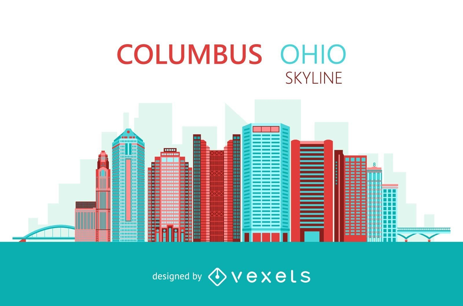
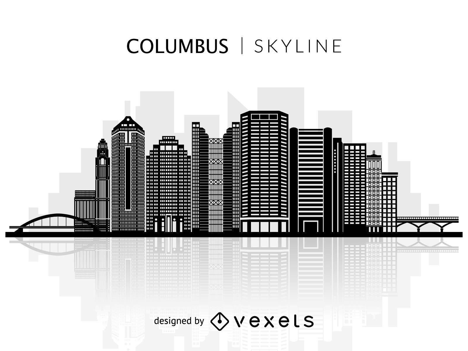
Columbus Ohio colorful skyline
Choose a folder
All favorites
Create new
Save
Columbus Ohio colorful skyline
2016 Red and White Calendar
Choose a folder
All favorites
Create new
Save
2016 Red and White Calendar
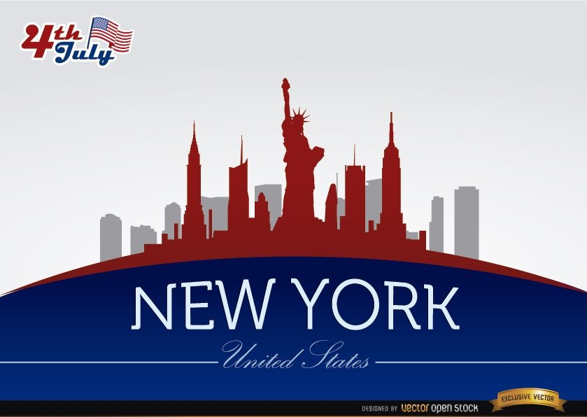
New York skyline on July 4th commemoration
Choose a folder
All favorites
Create new
Save
New York skyline on July 4th commemoration
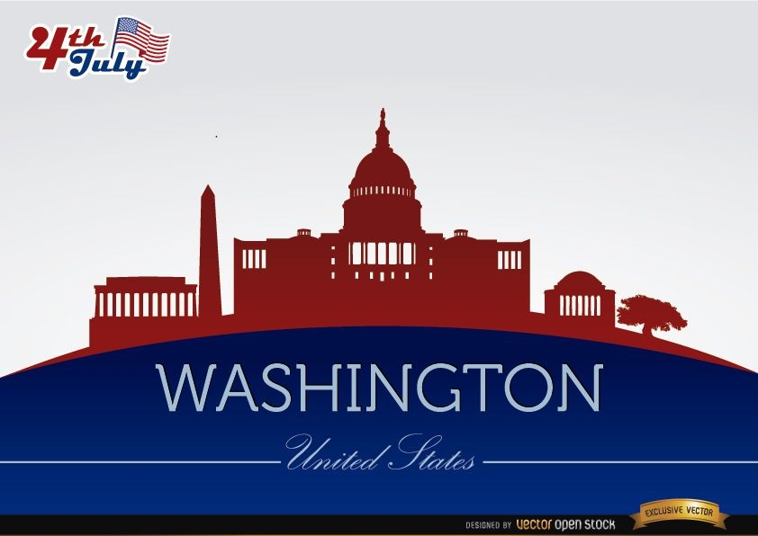
Washington city silhouettes on July 4th
Choose a folder
All favorites
Create new
Save
Washington city silhouettes on July 4th
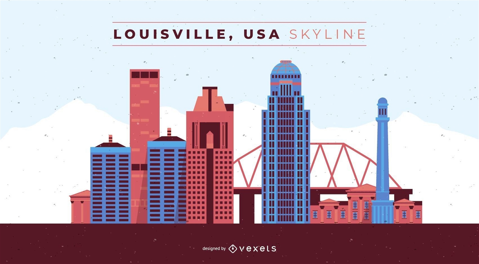
Louisville Kentucky Skyline
Choose a folder
All favorites
Create new
Save
Louisville Kentucky Skyline
Salt Lake City skyline illustration
Choose a folder
All favorites
Create new
Save
Salt Lake City skyline illustration
Premium
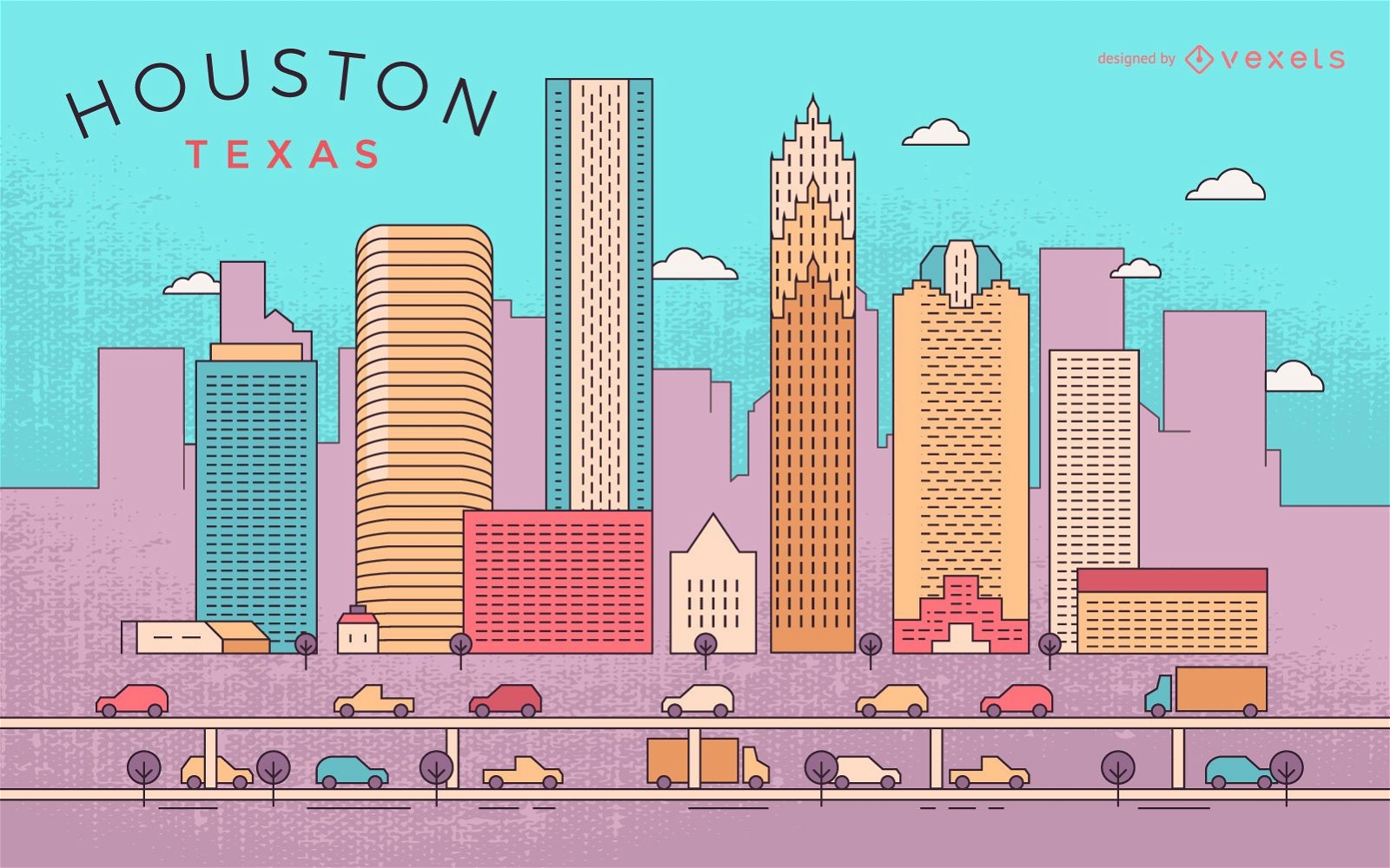
Colorful Houston stroke skyline
Choose a folder
All favorites
Create new
Save
Colorful Houston stroke skyline
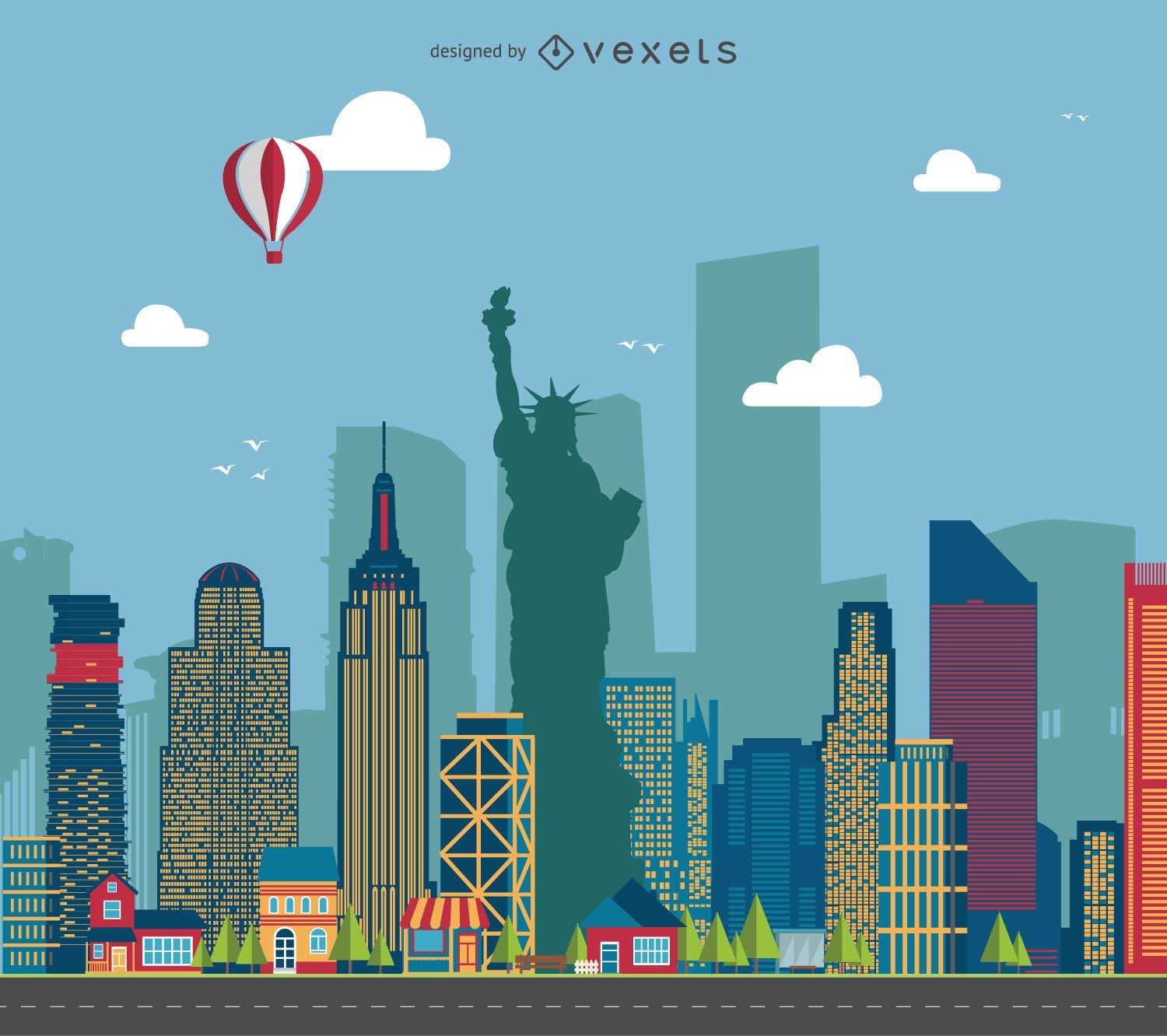
New York cityscape illustration
Choose a folder
All favorites
Create new
Save
New York cityscape illustration
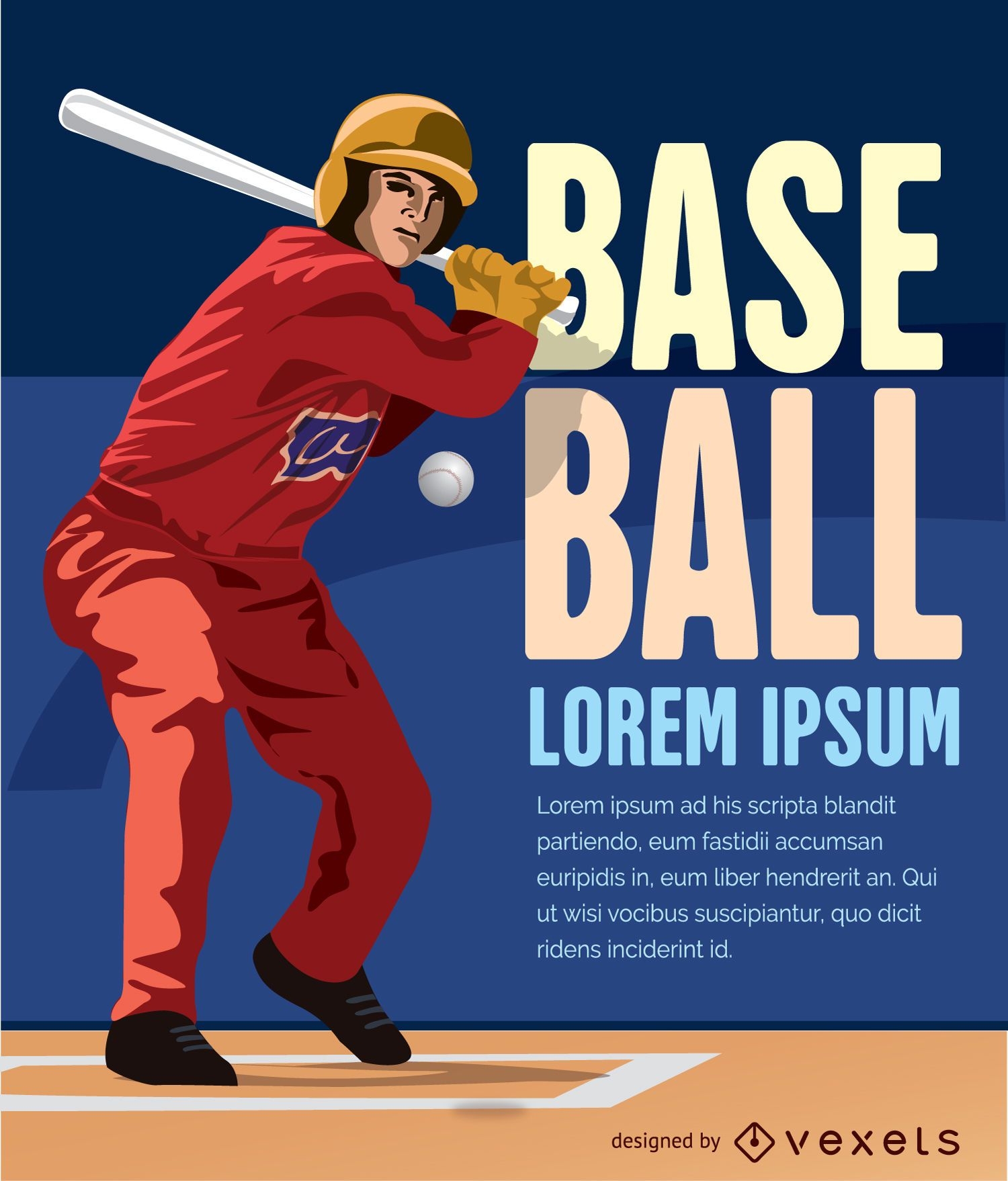
Baseball batter hitting ball
Choose a folder
All favorites
Create new
Save
Baseball batter hitting ball
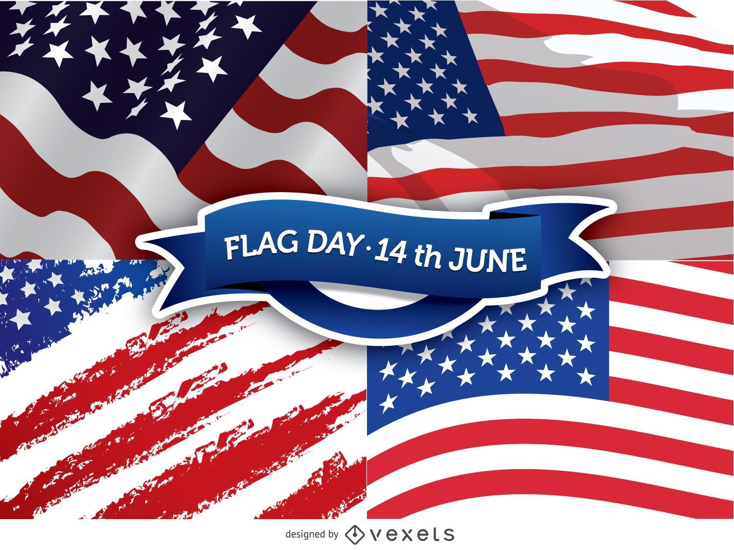
Flag Day - 14th June
Choose a folder
All favorites
Create new
Save
Flag Day - 14th June
Crisis business concept
Choose a folder
All favorites
Create new
Save
Crisis business concept
Premium
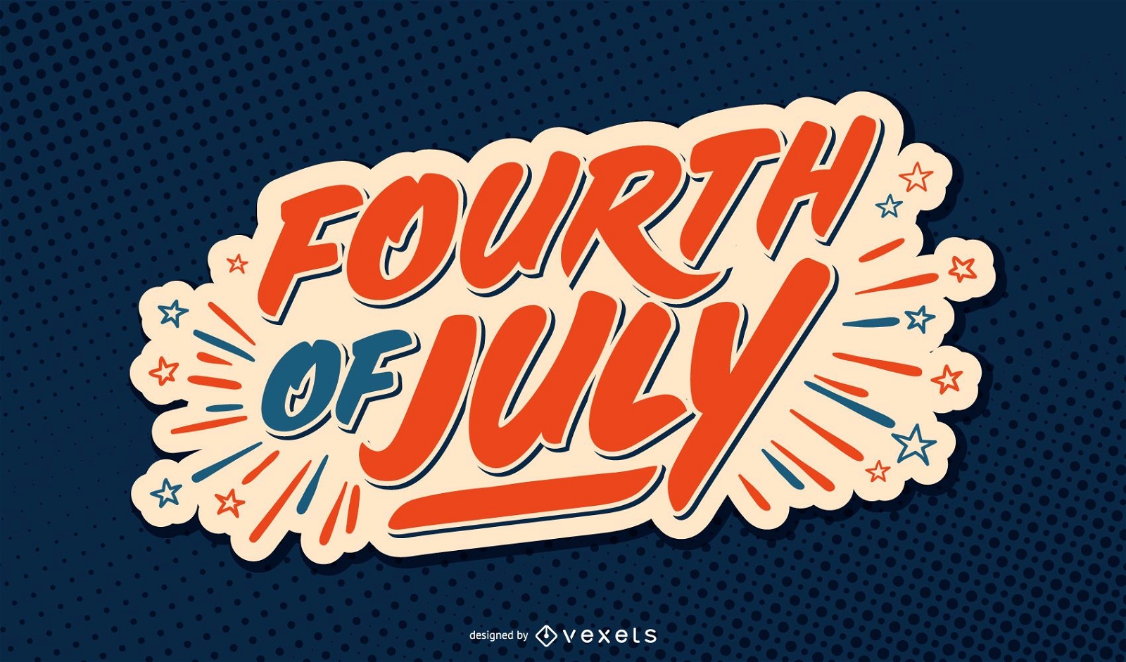
Fourth of july usa lettering
Choose a folder
All favorites
Create new
Save
Fourth of july usa lettering
Premium
President Barack Obama design
Choose a folder
All favorites
Create new
Save
President Barack Obama design
Silhouette of Columbine skyline
Choose a folder
All favorites
Create new
Save
Silhouette of Columbine skyline
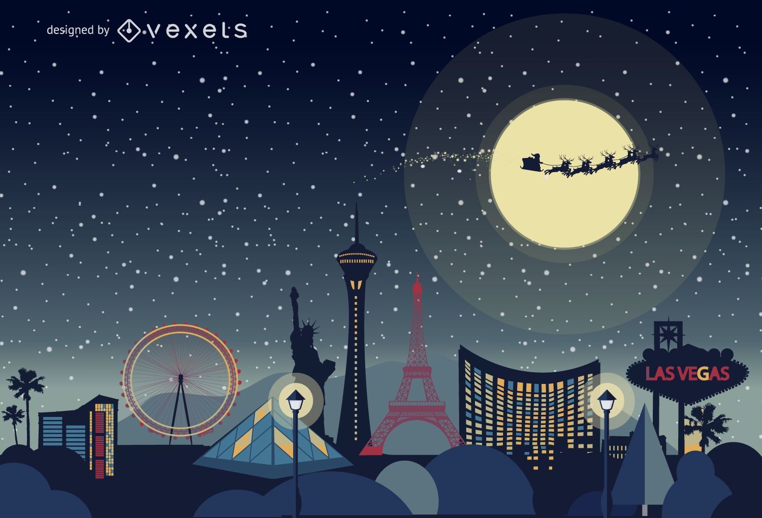
Las Vegas Christmas skyline
Choose a folder
All favorites
Create new
Save
Las Vegas Christmas skyline
American USA background
Choose a folder
All favorites
Create new
Save
American USA background
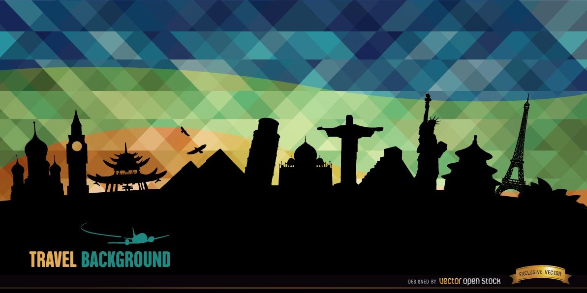
World monuments silhouettes background
Choose a folder
All favorites
Create new
Save
World monuments silhouettes background
Premium
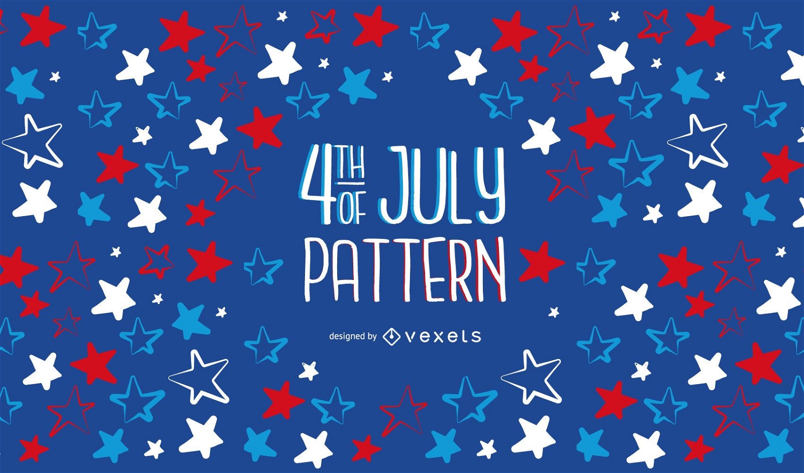
4th of Jully Pattern Design
Choose a folder
All favorites
Create new
Save
4th of Jully Pattern Design
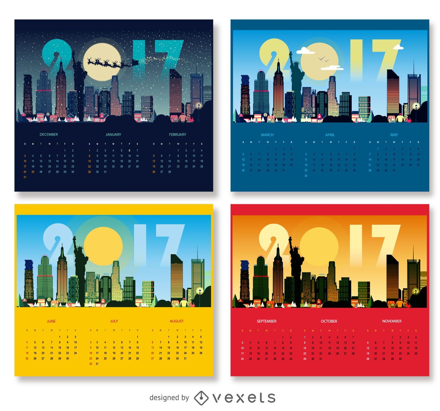
2017 New York Calendar Design
Choose a folder
All favorites
Create new
Save
2017 New York Calendar Design
4th of july triangle background
Choose a folder
All favorites
Create new
Save
4th of july triangle background
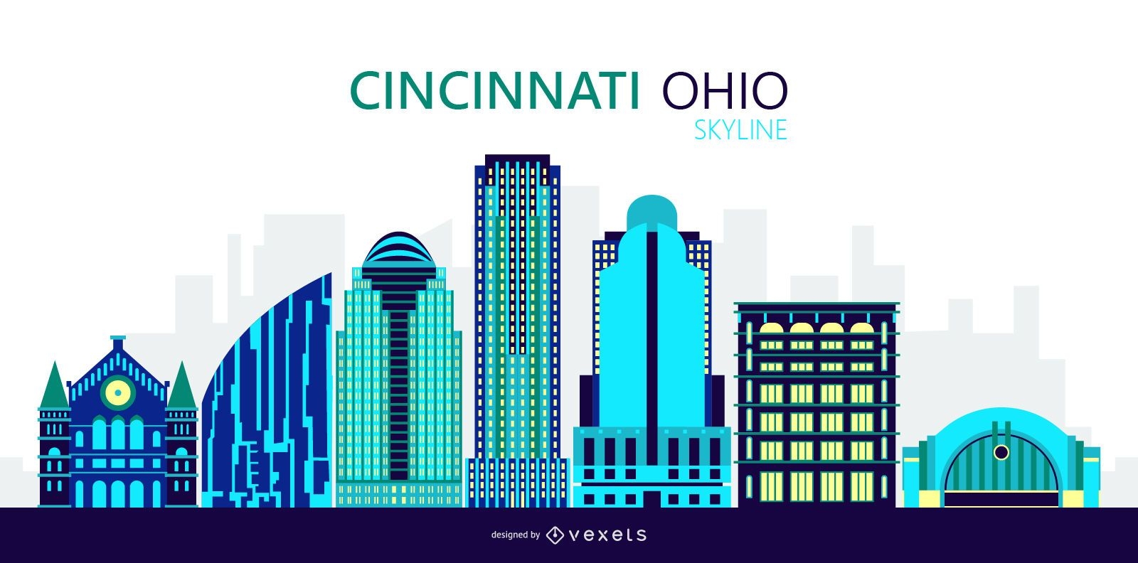
Cincinnati Ohio City Skyline Illustration
Choose a folder
All favorites
Create new
Save
Cincinnati Ohio City Skyline Illustration
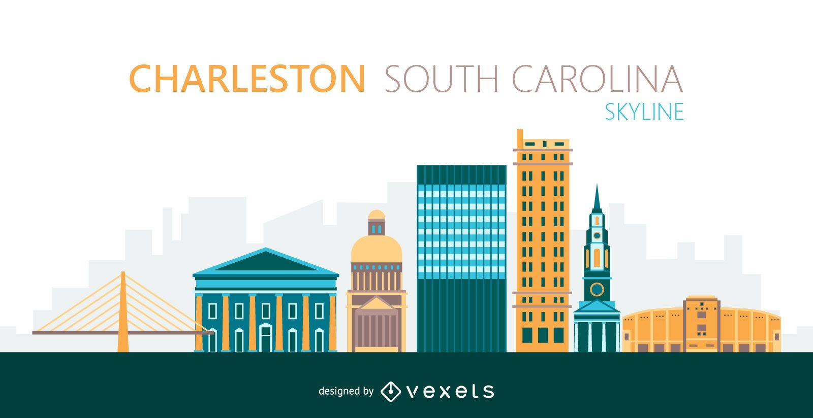
Charleston city skyline illustration
Choose a folder
All favorites
Create new
Save
Charleston city skyline illustration
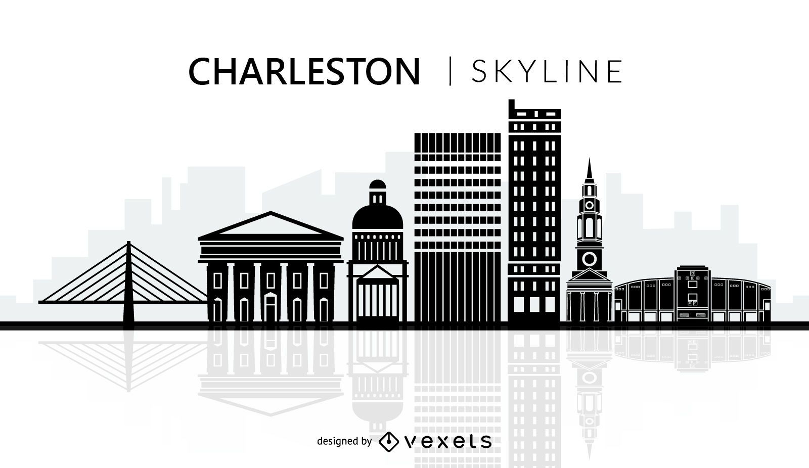
Charleston city skyline silhouette
Choose a folder
All favorites
Create new
Save
Charleston city skyline silhouette
Premium
Colorful Los Angeles stroke skyline
Choose a folder
All favorites
Create new
Save
Colorful Los Angeles stroke skyline
New York Christmas skyline
Choose a folder
All favorites
Create new
Save
New York Christmas skyline
Subscribe
To Get High-Quality Commercial Use Designs For Your Business
SEE PLANS
Next
of 19
prev page
next page