Design Library
Explore Designs
New Merch Designs
Trending Merch Designs
Vectors
PNGs & SVGs
Mockups
T-Shirts
T-Shirt PSD Templates
KDP Designs
Phone Cases
Pillows
Tote Bags
Posters
Mugs
Design Tools
Designer
New!
T-shirt Maker
Mockup Generator
Quote Generator
Logo Maker
Resources
Merch Digest
Blog
Help Center
Creators Program
Learn About Merch
Changelog
Pricing
Loading...
Sign Up
Login
Vectors
united
states
Design Library
Explore Designs
New Merch Designs
Trending Merch Designs
Vectors
PNGs & SVGs
Mockups
T-Shirts
T-Shirt PSD Templates
KDP Designs
Phone Cases
Pillows
Tote Bags
Posters
Mugs
Design Tools
Designer
New!
T-shirt Maker
Mockup Generator
Quote Generator
Logo Maker
Resources
Merch Digest
Blog
Help Center
Creators Program
Learn About Merch
Changelog
PLANS
Vectors
united
states
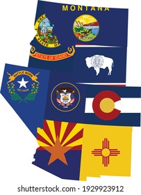
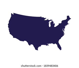
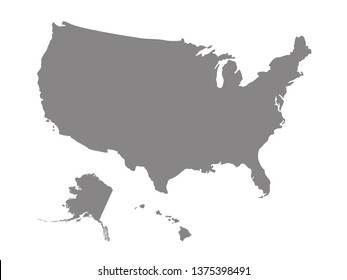
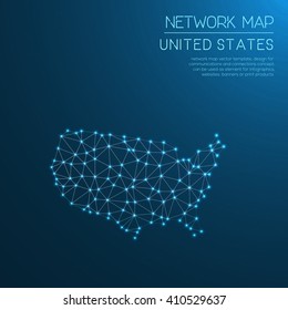
905 united states Vectors & Graphics to Download
Download united states editable vector graphics for every design project. In AI, SVG, PNG, JPG and PSD.
Related:
united states of america
,
united states skyline
,
united-states
Sort by
Most relevant
Sponsored results by
Get 15% off with code: VEXELS15
Show more
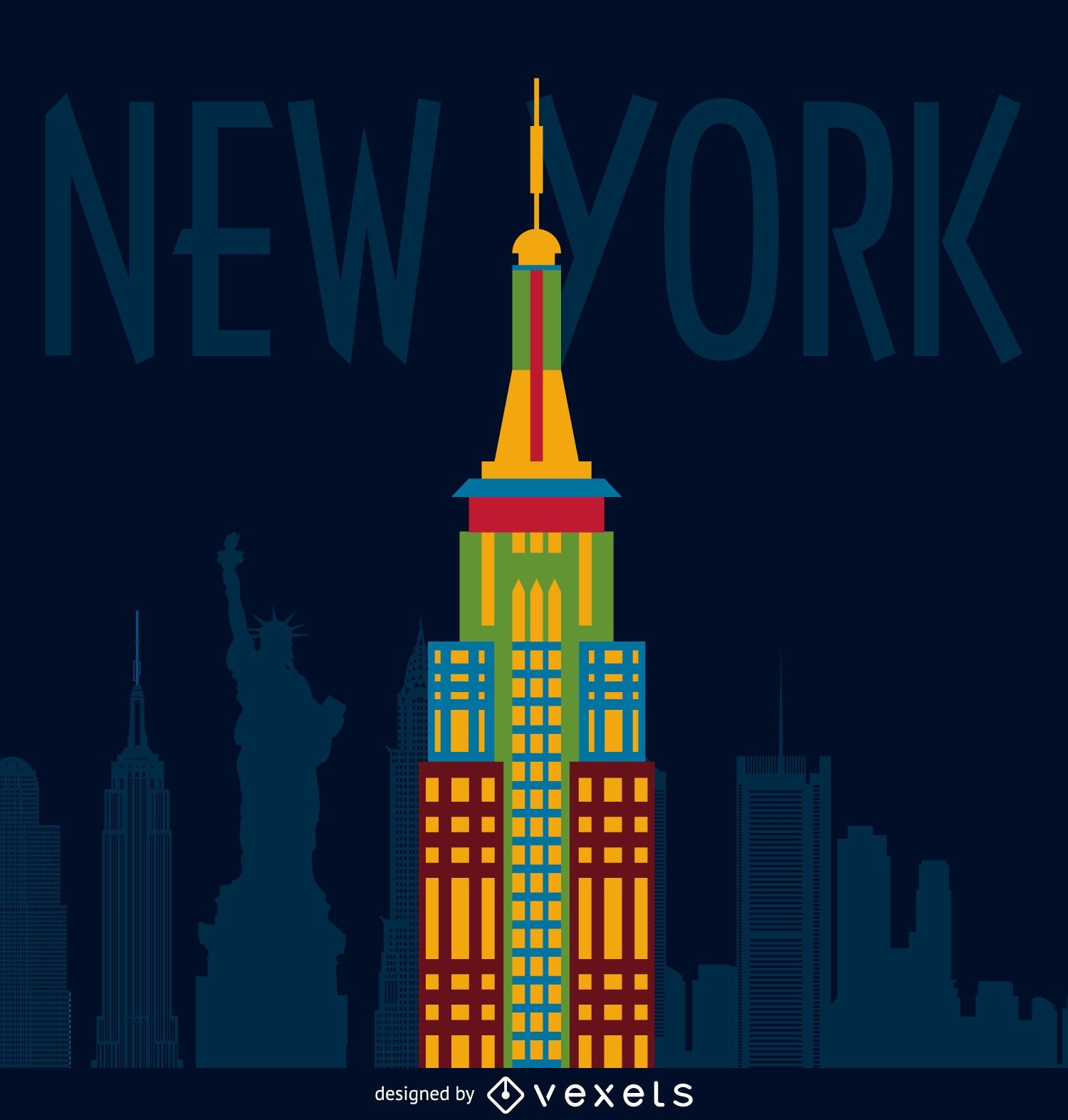
New York building illustration
Choose a folder
All favorites
Create new
Save
New York building illustration
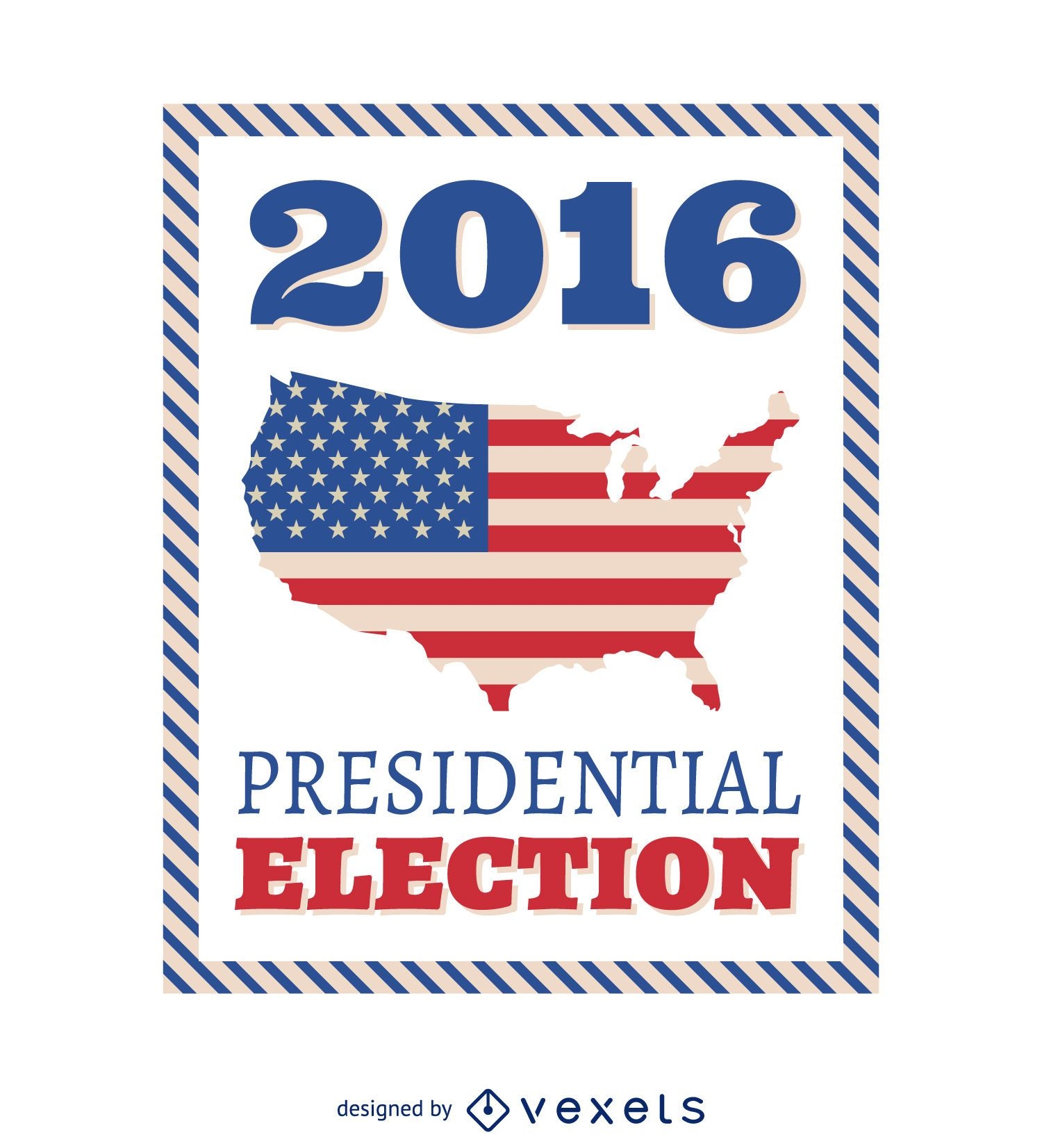
2016 US Presidential Election frame
Choose a folder
All favorites
Create new
Save
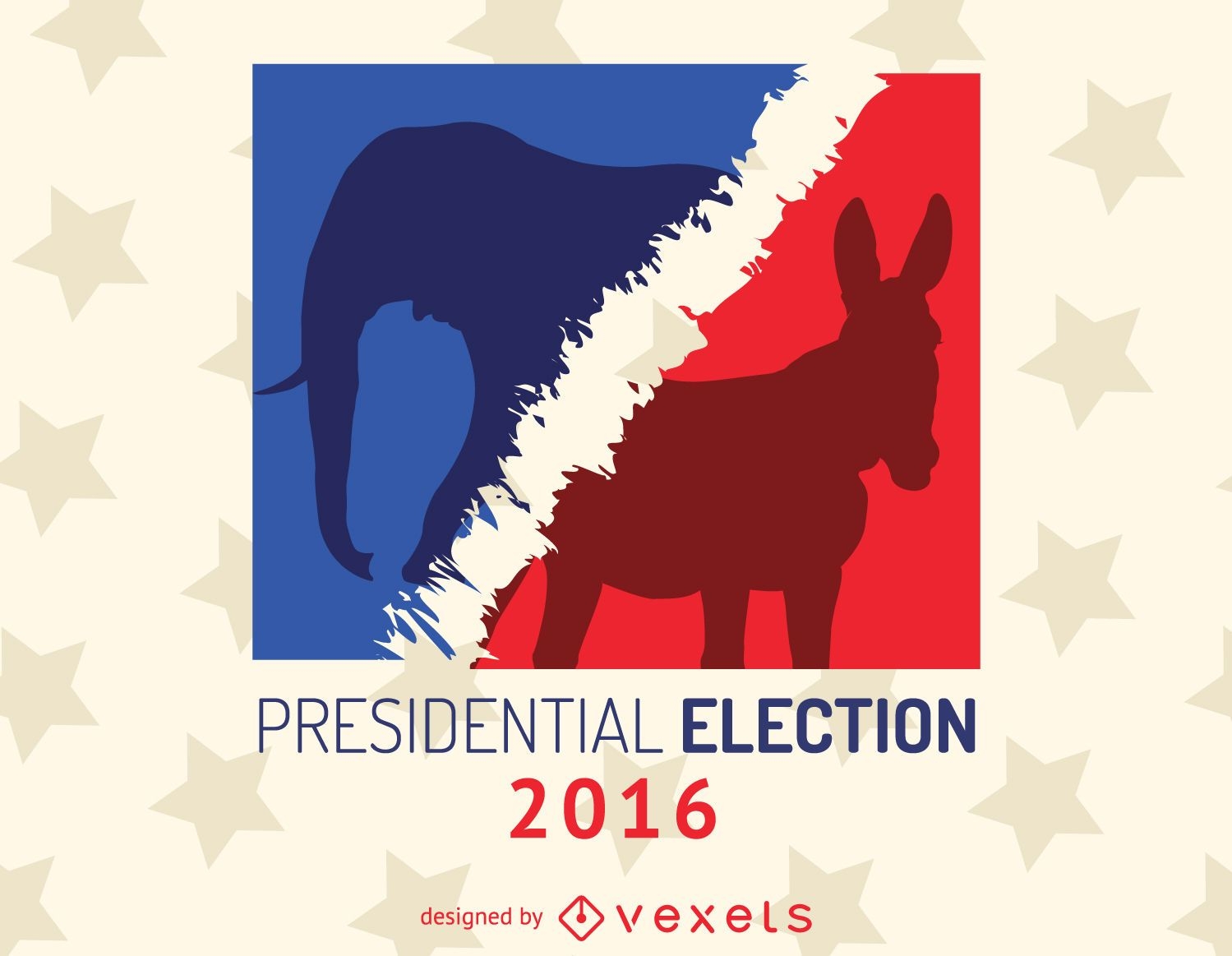
2016 US Presidential Election frame
Brasil 2014 Footaball with Team Flags
Choose a folder
All favorites
Create new
Save
Brasil 2014 Footaball with Team Flags
Premium
Chicago Building City Design
Choose a folder
All favorites
Create new
Save
Chicago Building City Design
Premium
Independence day elements set
Choose a folder
All favorites
Create new
Save
Independence day elements set
Copa America game result fixture
Choose a folder
All favorites
Create new
Save
Copa America game result fixture
Premium
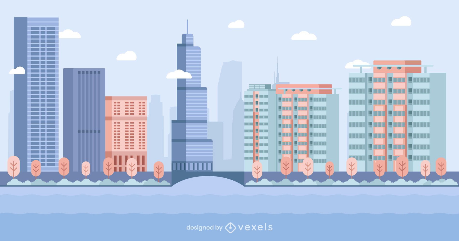
Chicago Colorful Flat Skyline Design
Choose a folder
All favorites
Create new
Save
Chicago Colorful Flat Skyline Design
Premium
Independence day pattern design
Choose a folder
All favorites
Create new
Save
Independence day pattern design
Premium
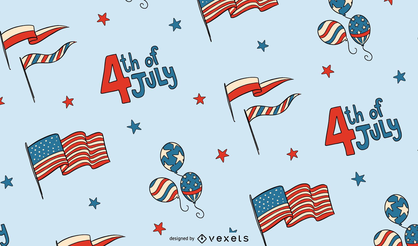
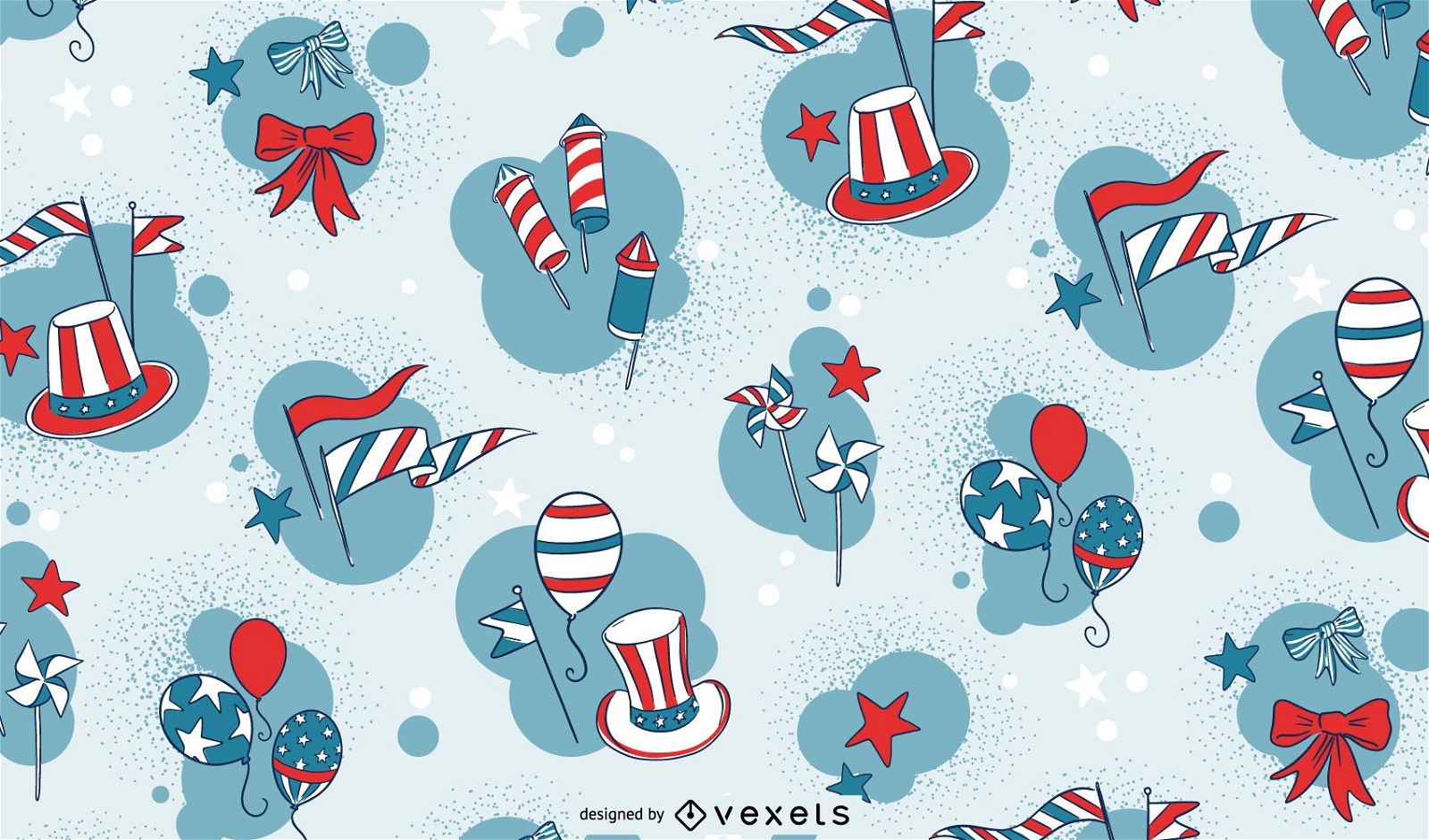
4th of July pattern design
Choose a folder
All favorites
Create new
Save
4th of July pattern design
Premium
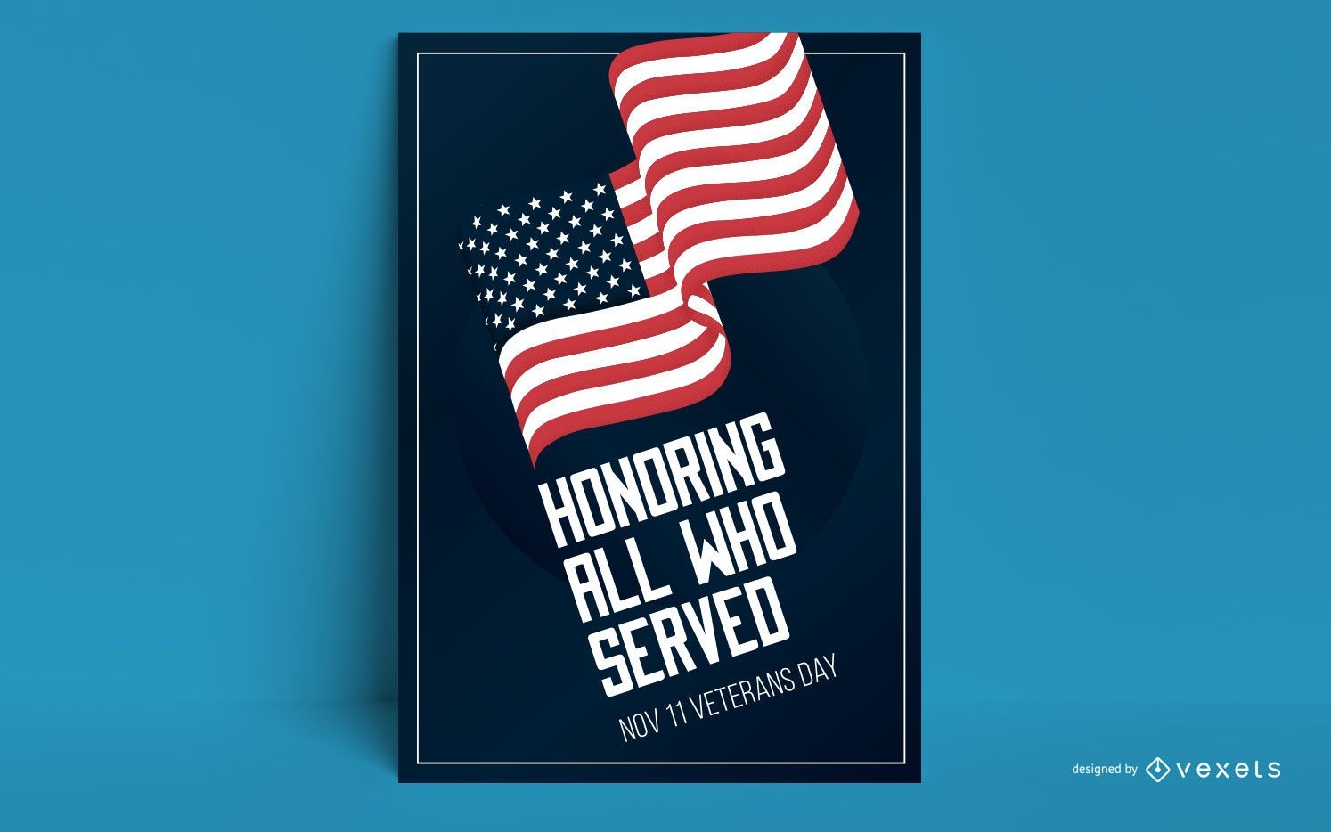
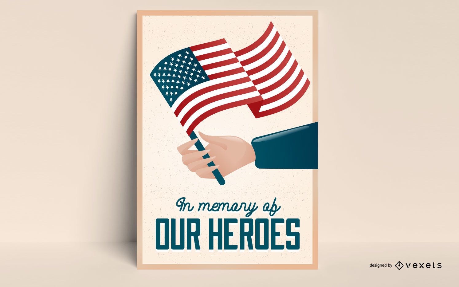
Veterans day flag poster design
Choose a folder
All favorites
Create new
Save
Veterans day flag poster design
Premium
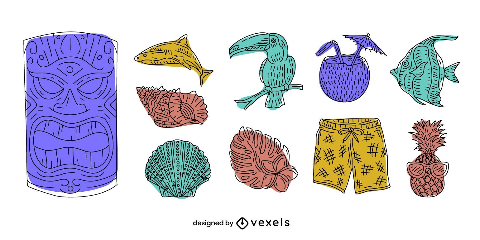
Hawaii elements doodle set
Choose a folder
All favorites
Create new
Save
Hawaii elements doodle set
Premium
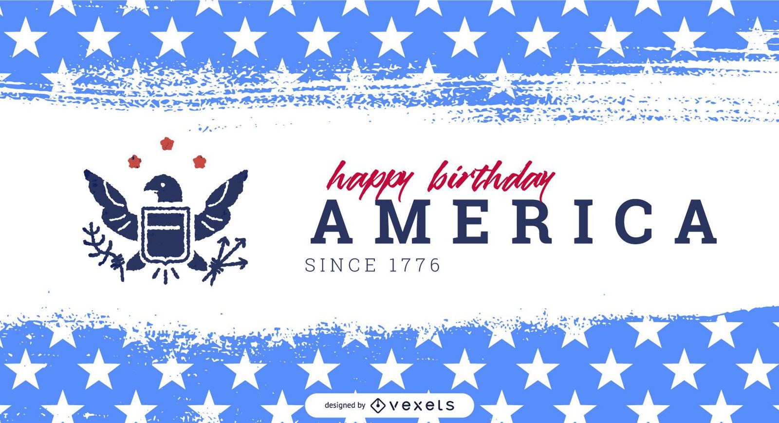
America independence day slider template
Choose a folder
All favorites
Create new
Save
America independence day slider template
Premium
Independence Day Lettering Pattern Design
Choose a folder
All favorites
Create new
Save
Independence Day Lettering Pattern Design
Premium
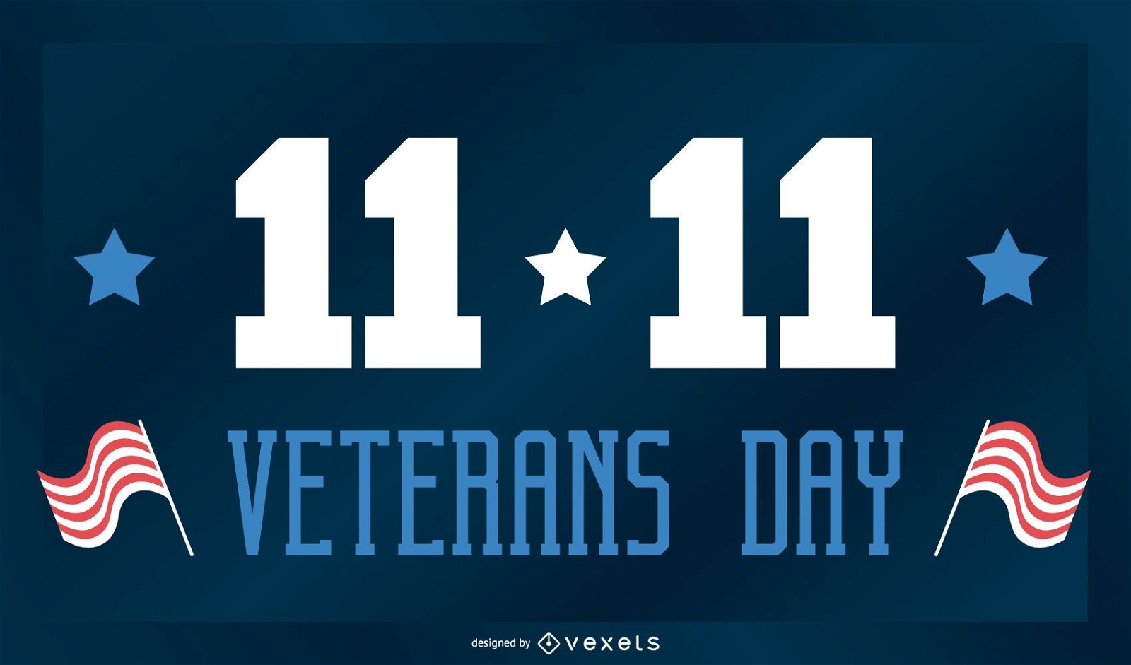
Veterans day lettering design
Choose a folder
All favorites
Create new
Save
Veterans day lettering design
Editable text
Premium
Veterans day slider design
Choose a folder
All favorites
Create new
Save
Veterans day slider design
Premium
North America state names set
Choose a folder
All favorites
Create new
Save
North America state names set
Premium
Independence day stroke collection
Choose a folder
All favorites
Create new
Save
Independence day stroke collection
Veterans badge set
Choose a folder
All favorites
Create new
Save
Veterans badge set
Editable text
Premium
Veterans editable slider design
Choose a folder
All favorites
Create new
Save
Veterans editable slider design
Editable text
Premium
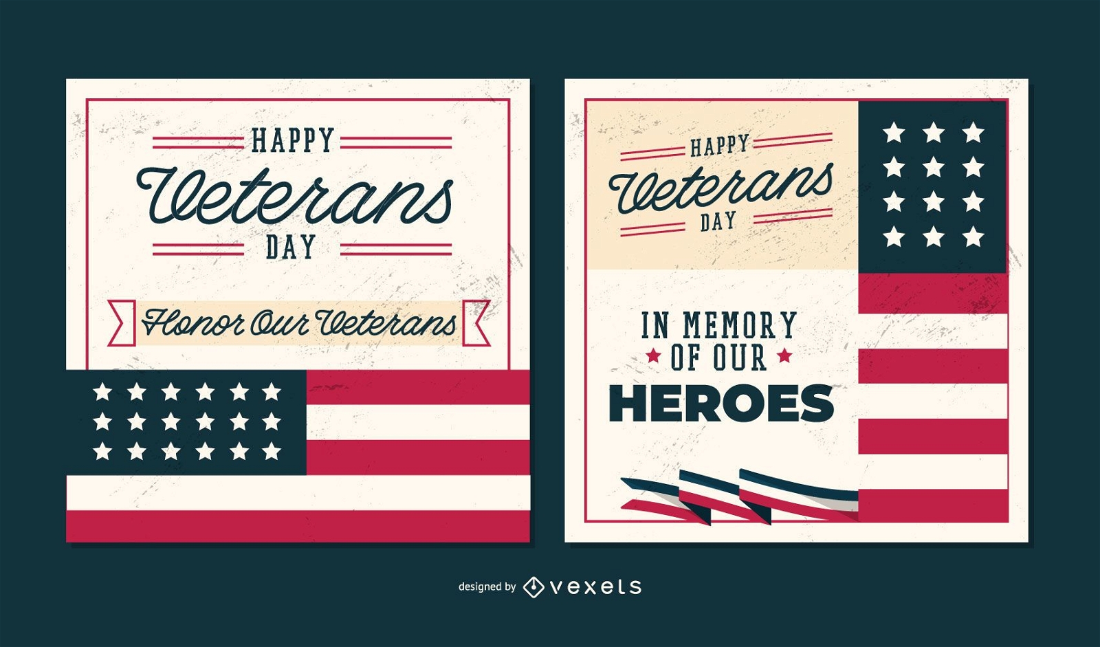
Veterans day poster template
Choose a folder
All favorites
Create new
Save
Veterans day poster template
Copa America 2016 banner
Choose a folder
All favorites
Create new
Save
Copa America 2016 banner
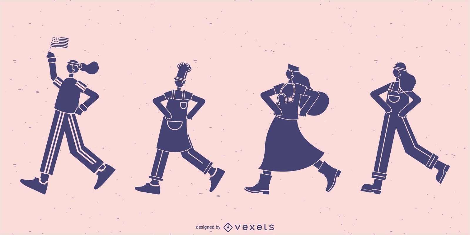
Workers walking silhouette set
Choose a folder
All favorites
Create new
Save
Workers walking silhouette set
Premium
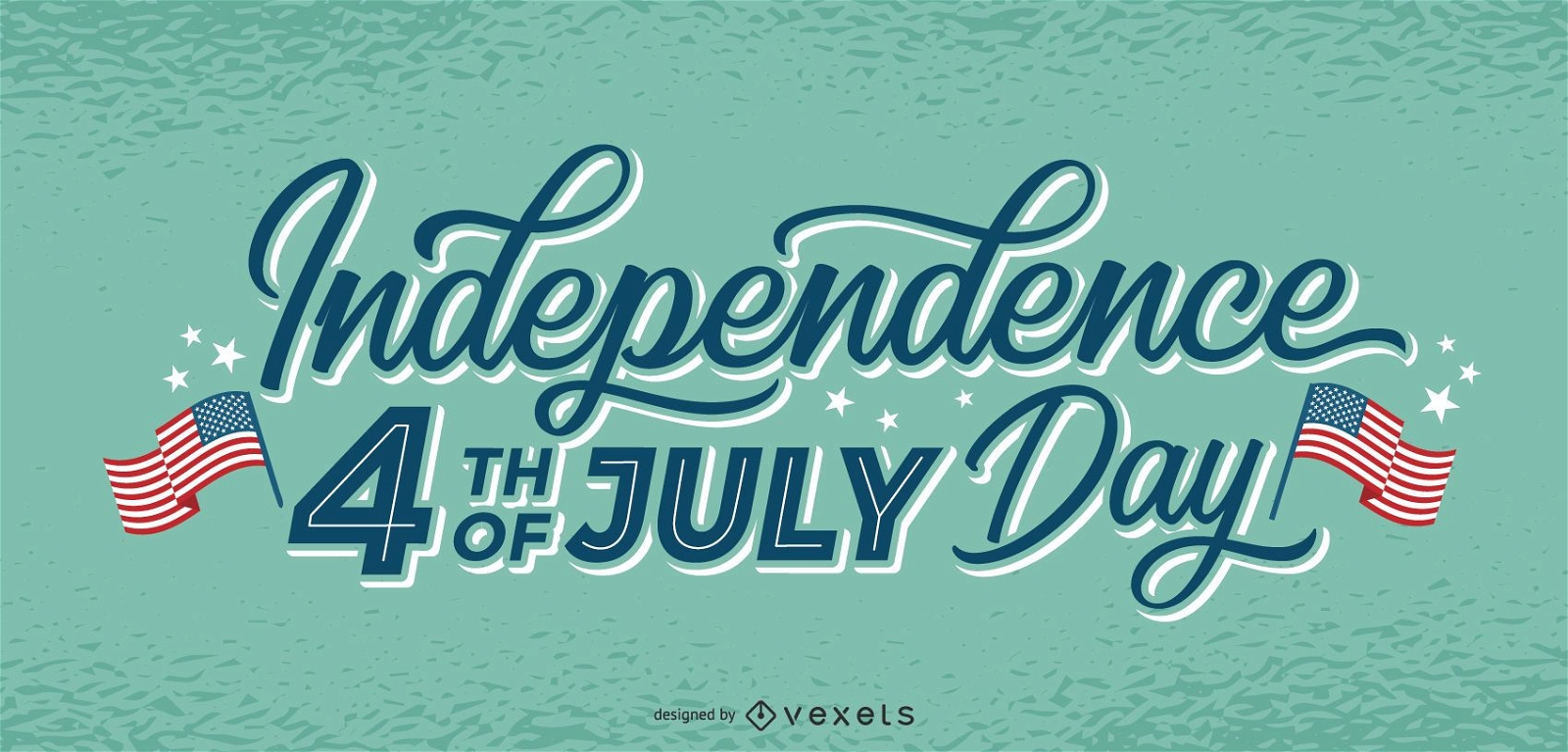
Independence day july 4th lettering
Choose a folder
All favorites
Create new
Save
Independence day july 4th lettering
Premium
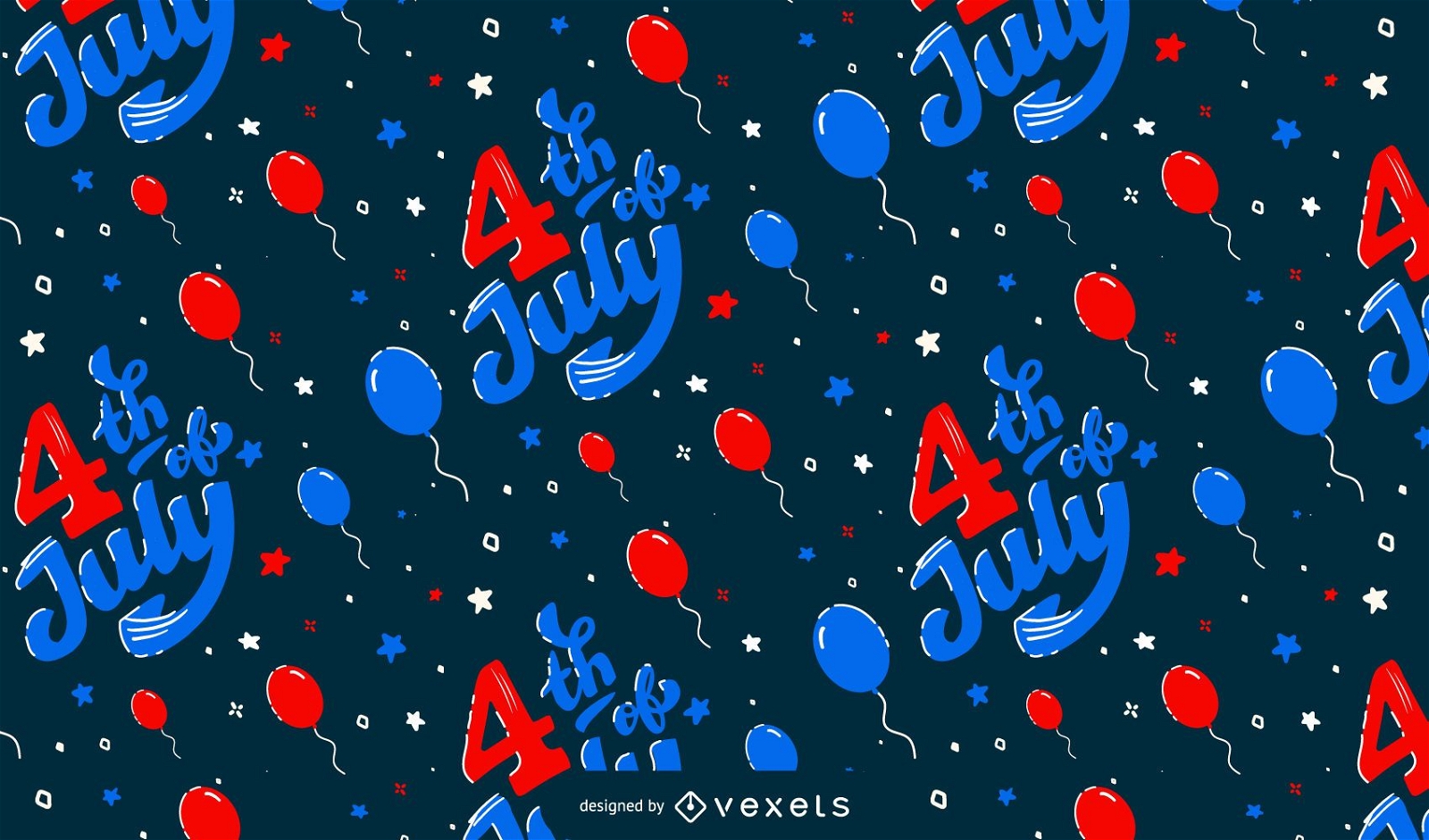
4th of july balloons pattern design
Choose a folder
All favorites
Create new
Save
4th of july balloons pattern design
Premium
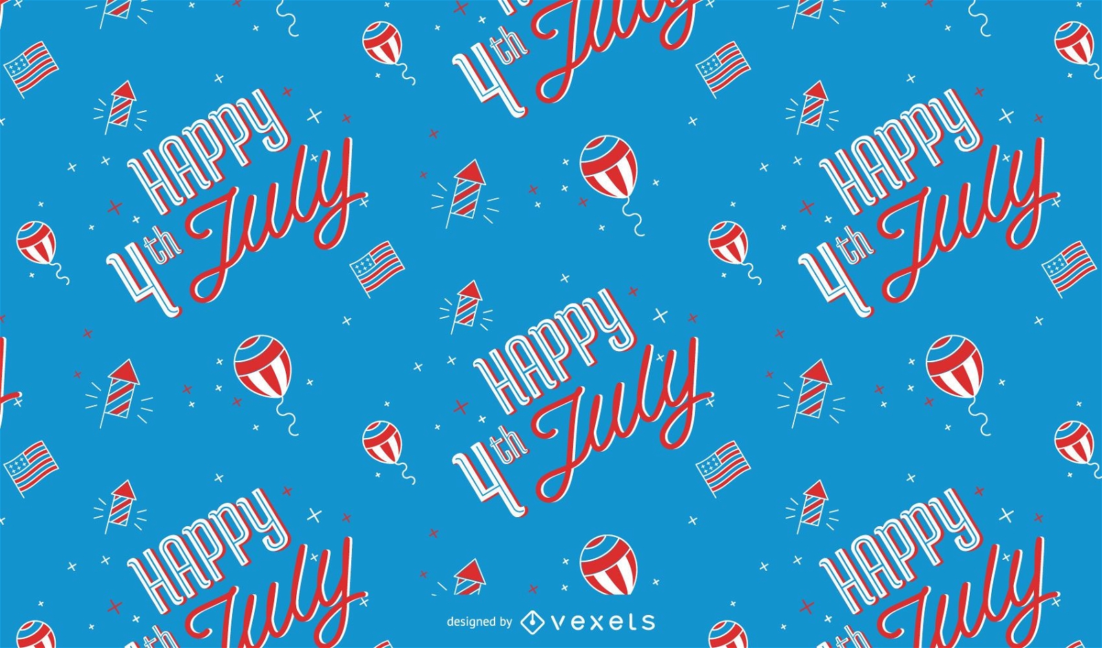
Happy 4th of july pattern design
Choose a folder
All favorites
Create new
Save
Happy 4th of july pattern design
Editable text
Premium
Veterans day editable banner set
Choose a folder
All favorites
Create new
Save
Veterans day editable banner set
Print ready
Premium
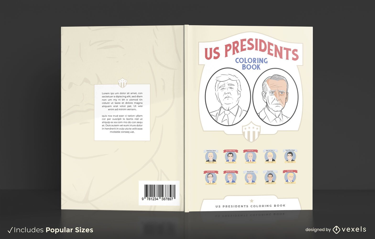
US presidents coloring book cover design
Choose a folder
All favorites
Create new
Save
US presidents coloring book cover design
Premium
Superbowl Covid illustration
Choose a folder
All favorites
Create new
Save
Superbowl Covid illustration
Premium
Independence day celebration pattern
Choose a folder
All favorites
Create new
Save
Independence day celebration pattern
New York Badge Vector Design
Choose a folder
All favorites
Create new
Save
New York Badge Vector Design
2016 US election sign
Choose a folder
All favorites
Create new
Save
2016 US election sign
Premium
Chicago City Badge Pack
Choose a folder
All favorites
Create new
Save
Chicago City Badge Pack
Premium
Independence Day Illustration Design
Choose a folder
All favorites
Create new
Save
Independence Day Illustration Design
Premium
Independence day stroke pattern
Choose a folder
All favorites
Create new
Save
Independence day stroke pattern
Premium
Independence day social media post
Choose a folder
All favorites
Create new
Save
Independence day social media post
Editable text
Premium
Veterans day editable banners
Choose a folder
All favorites
Create new
Save
Veterans day editable banners
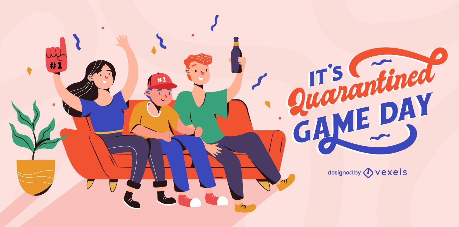
Superbowl quarantine illustration
Choose a folder
All favorites
Create new
Save
Superbowl quarantine illustration
Premium
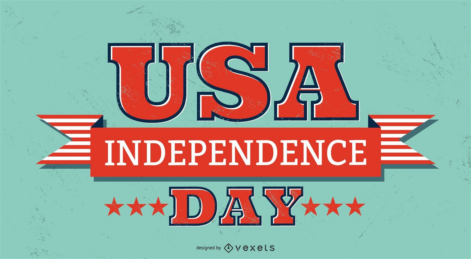
usa independence day lettering
Choose a folder
All favorites
Create new
Save
usa independence day lettering
Premium
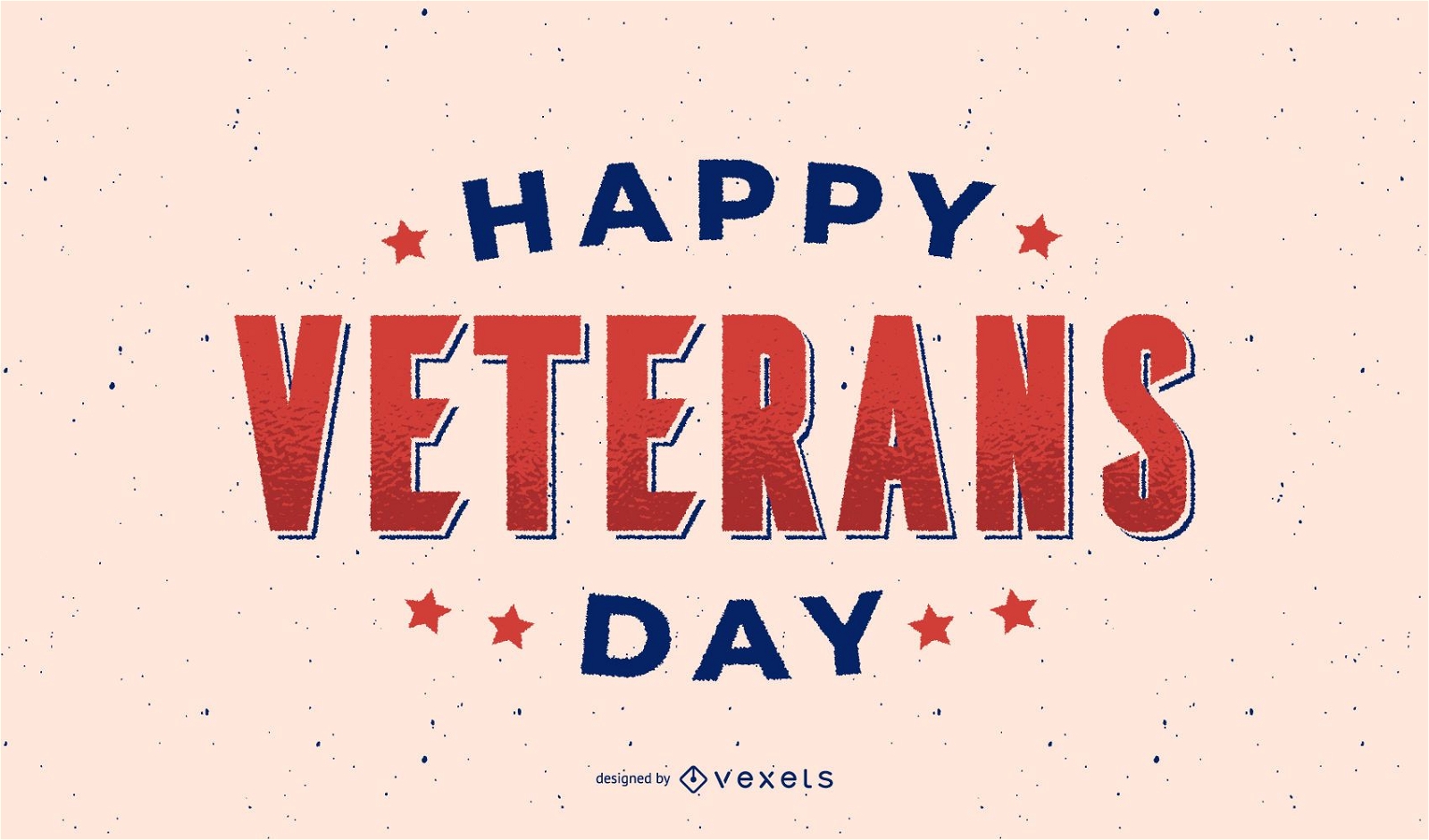
Happy veterans day lettering
Choose a folder
All favorites
Create new
Save
Happy veterans day lettering
Premium
Independence Day Badge Pack
Choose a folder
All favorites
Create new
Save
Independence Day Badge Pack
Premium
Chicago Flat Style Skyline Design
Choose a folder
All favorites
Create new
Save
Chicago Flat Style Skyline Design
Editable text
Premium
Veterans day editable poster
Choose a folder
All favorites
Create new
Save
Veterans day editable poster
Premium
Veterans day holiday banner
Choose a folder
All favorites
Create new
Save
Veterans day holiday banner
Premium
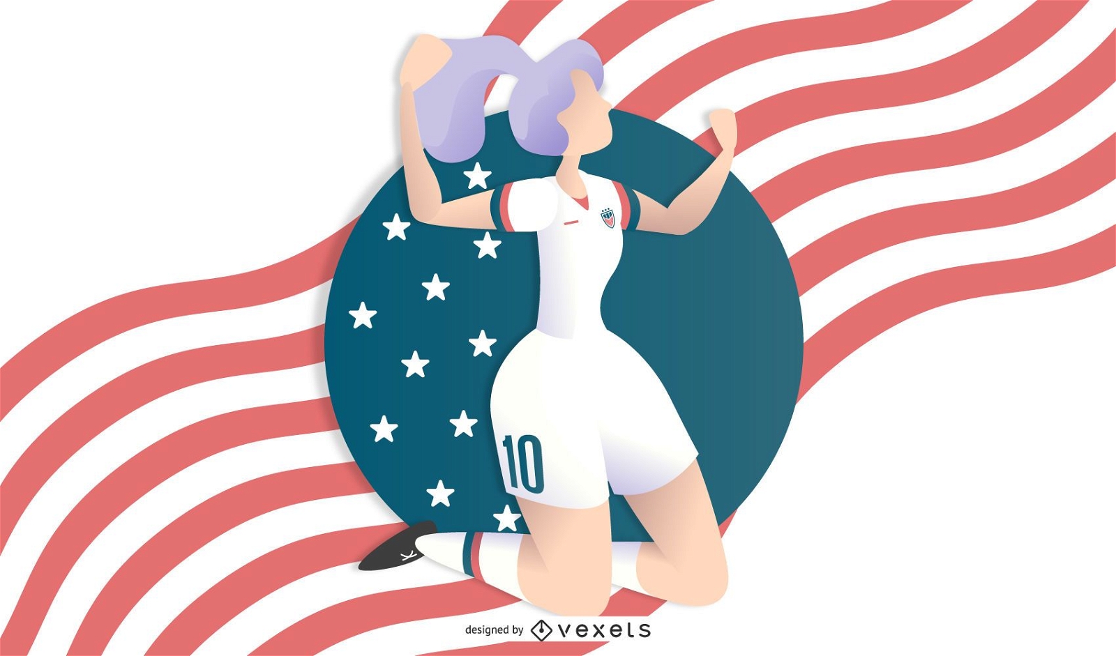
Woman Soccer Illustration
Choose a folder
All favorites
Create new
Save
Woman Soccer Illustration
Editable text
Premium
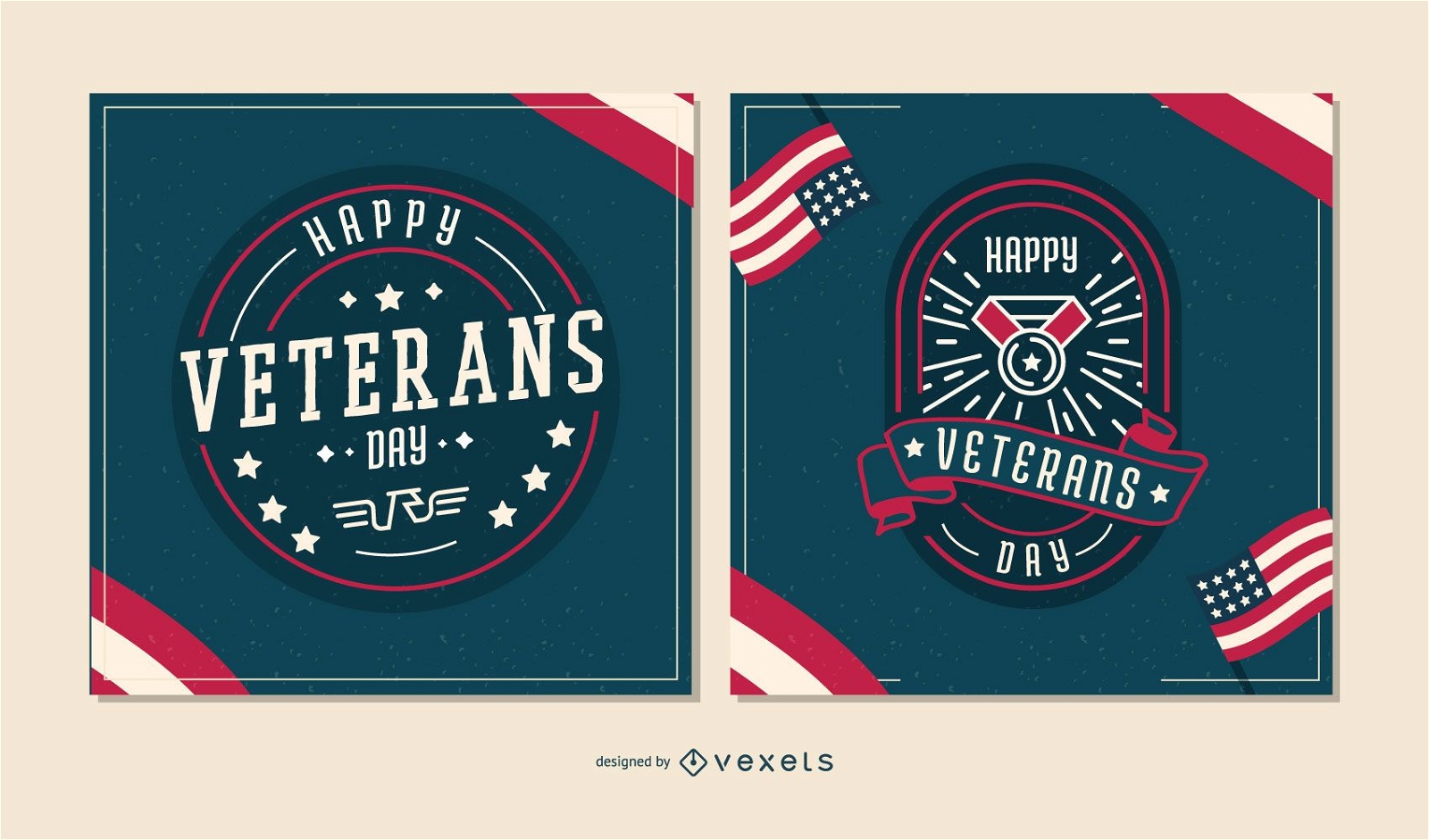
Happy Veterans day banner set
Choose a folder
All favorites
Create new
Save
Happy Veterans day banner set
President Andrew Johnson Design
Choose a folder
All favorites
Create new
Save
President Andrew Johnson Design
Editable text
Premium
Veterans day abstract poster template
Choose a folder
All favorites
Create new
Save
Veterans day abstract poster template
Editable text
Premium
Happy veterans day poster
Choose a folder
All favorites
Create new
Save
Happy veterans day poster
Premium
Veterans day badge set
Choose a folder
All favorites
Create new
Save
Veterans day badge set
Premium
independence day labels designs
Choose a folder
All favorites
Create new
Save
independence day labels designs
Subscribe
To Get High-Quality Commercial Use Designs For Your Business
SEE PLANS
Next
of 19
prev page
next page