Design Library
Explore Designs
New Merch Designs
Trending Merch Designs
Vectors
PNGs & SVGs
Mockups
T-Shirts
T-Shirt PSD Templates
KDP Designs
Phone Cases
Pillows
Tote Bags
Posters
Mugs
Design Tools
Designer
New!
T-shirt Maker
Mockup Generator
Quote Generator
Logo Maker
Resources
Merch Digest
Blog
Help Center
Creators Program
Learn About Merch
Changelog
Pricing
Loading...
Sign Up
Login
Vectors
united
states
Design Library
Explore Designs
New Merch Designs
Trending Merch Designs
Vectors
PNGs & SVGs
Mockups
T-Shirts
T-Shirt PSD Templates
KDP Designs
Phone Cases
Pillows
Tote Bags
Posters
Mugs
Design Tools
Designer
New!
T-shirt Maker
Mockup Generator
Quote Generator
Logo Maker
Resources
Merch Digest
Blog
Help Center
Creators Program
Learn About Merch
Changelog
PLANS
Vectors
united
states
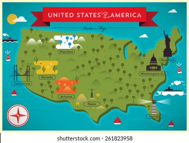
905 united states Vectors & Graphics to Download
Download united states editable vector graphics for every design project. In AI, SVG, PNG, JPG and PSD.
Related:
united states of america
,
united states skyline
,
united-states
Sort by
Most relevant
Sponsored results by
Get 15% off with code: VEXELS15
Show more
for Merch
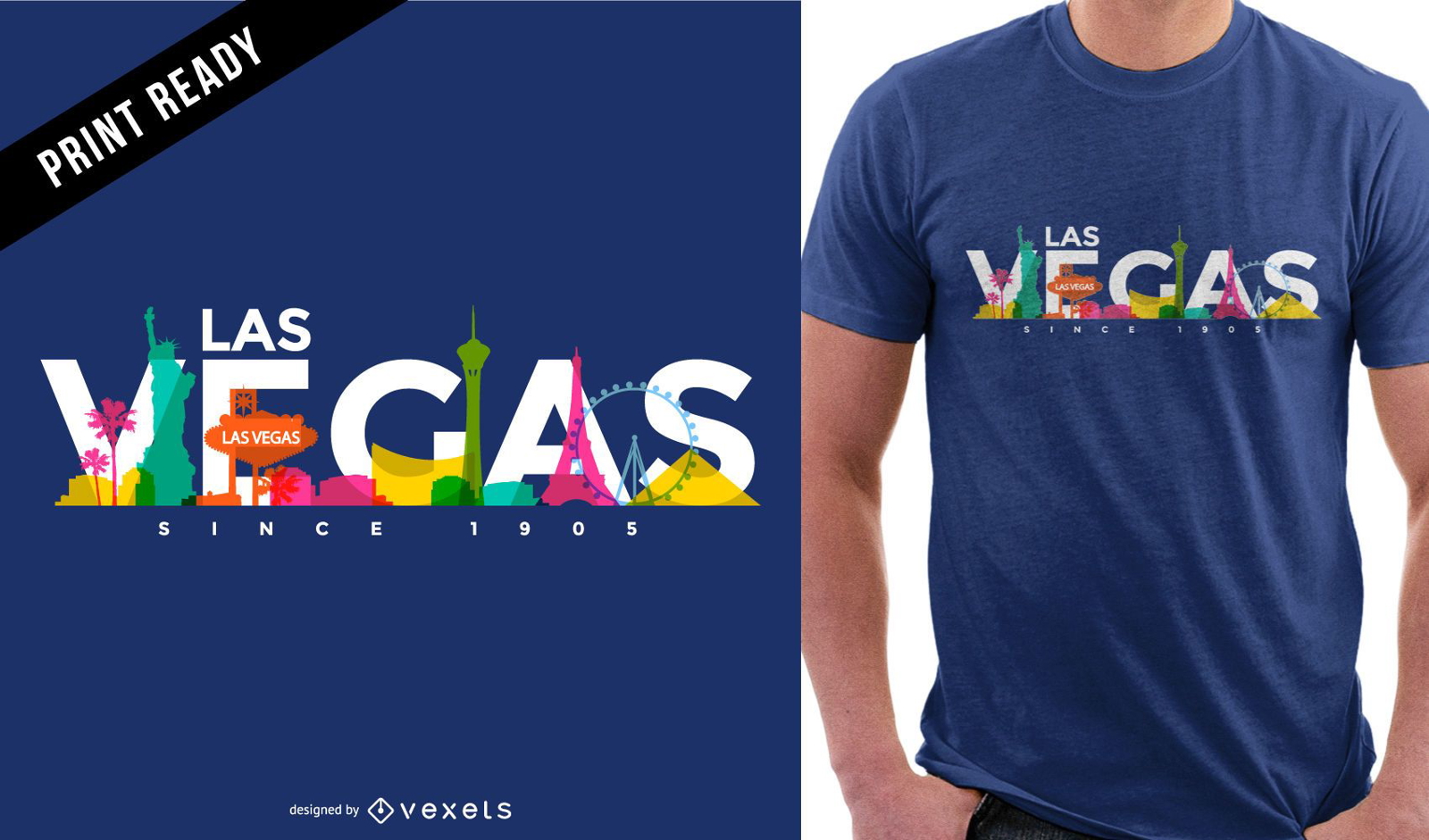
Las Vegas colored skyline t-shirt design
Choose a folder
All favorites
Create new
Save
Las Vegas colored skyline t-shirt design
for Merch
Las vegas t-shirt design
Choose a folder
All favorites
Create new
Save
Las vegas t-shirt design
for Merch
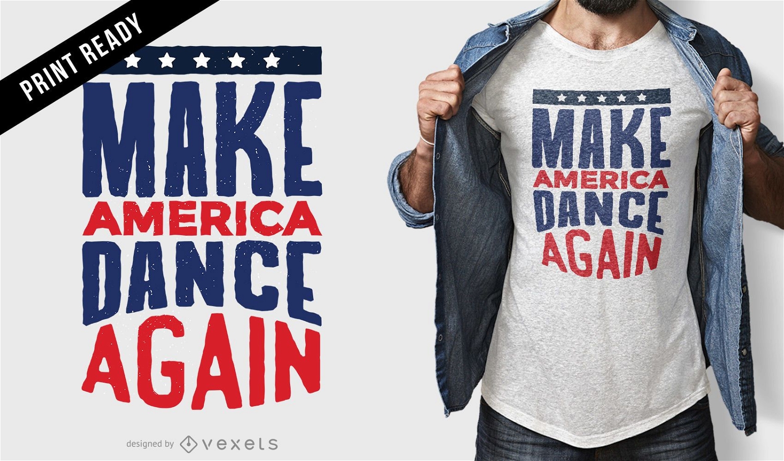
Make America dance t-shirt design
Choose a folder
All favorites
Create new
Save
Make America dance t-shirt design
for Merch
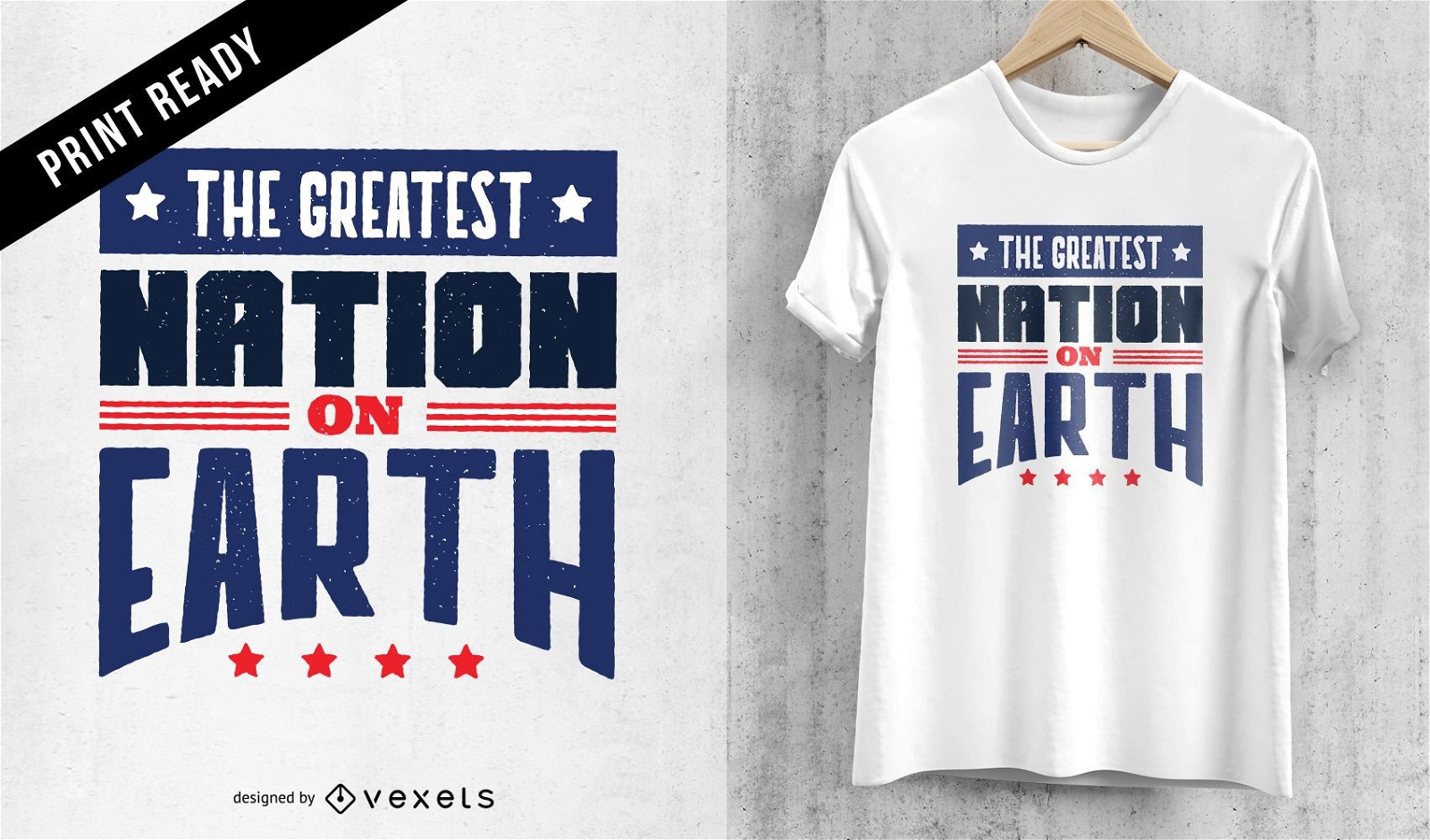
Greatest nation t-shirt design
Choose a folder
All favorites
Create new
Save
Greatest nation t-shirt design
for Merch
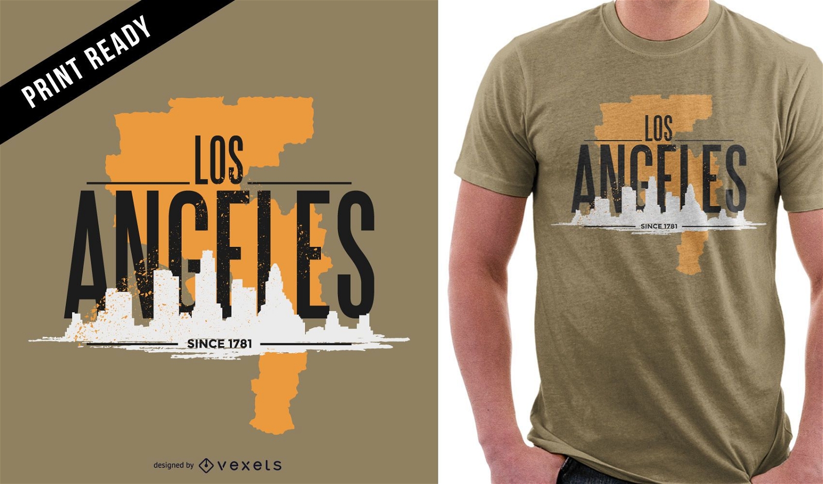
Los Angeles rugged t-shirt design
Choose a folder
All favorites
Create new
Save
Los Angeles rugged t-shirt design
Print ready
for Merch
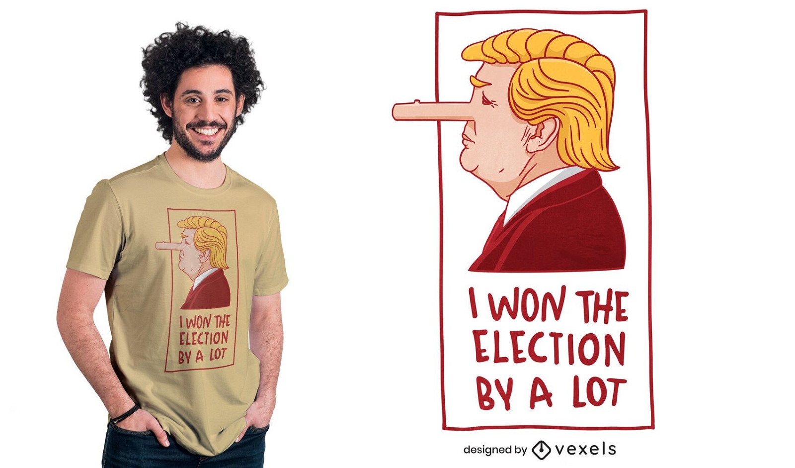
Donald Trump pinocchio t-shirt design
Choose a folder
All favorites
Create new
Save
Donald Trump pinocchio t-shirt design
Print ready
for Merch
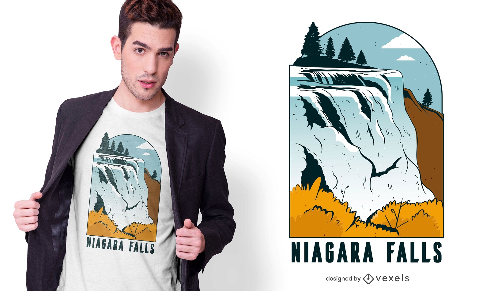
Niagara falls t-shirt design
Choose a folder
All favorites
Create new
Save
Niagara falls t-shirt design
for Merch
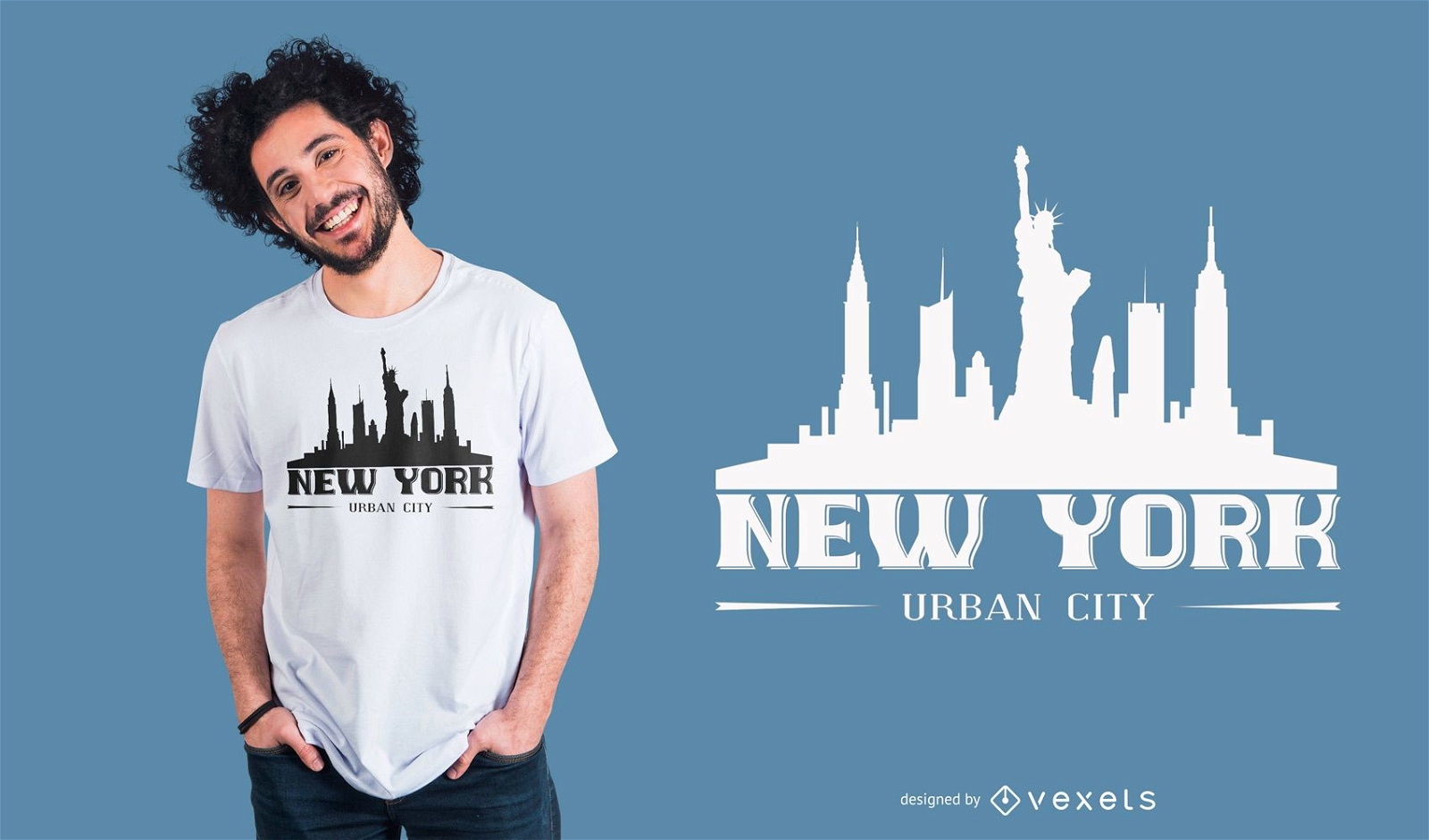
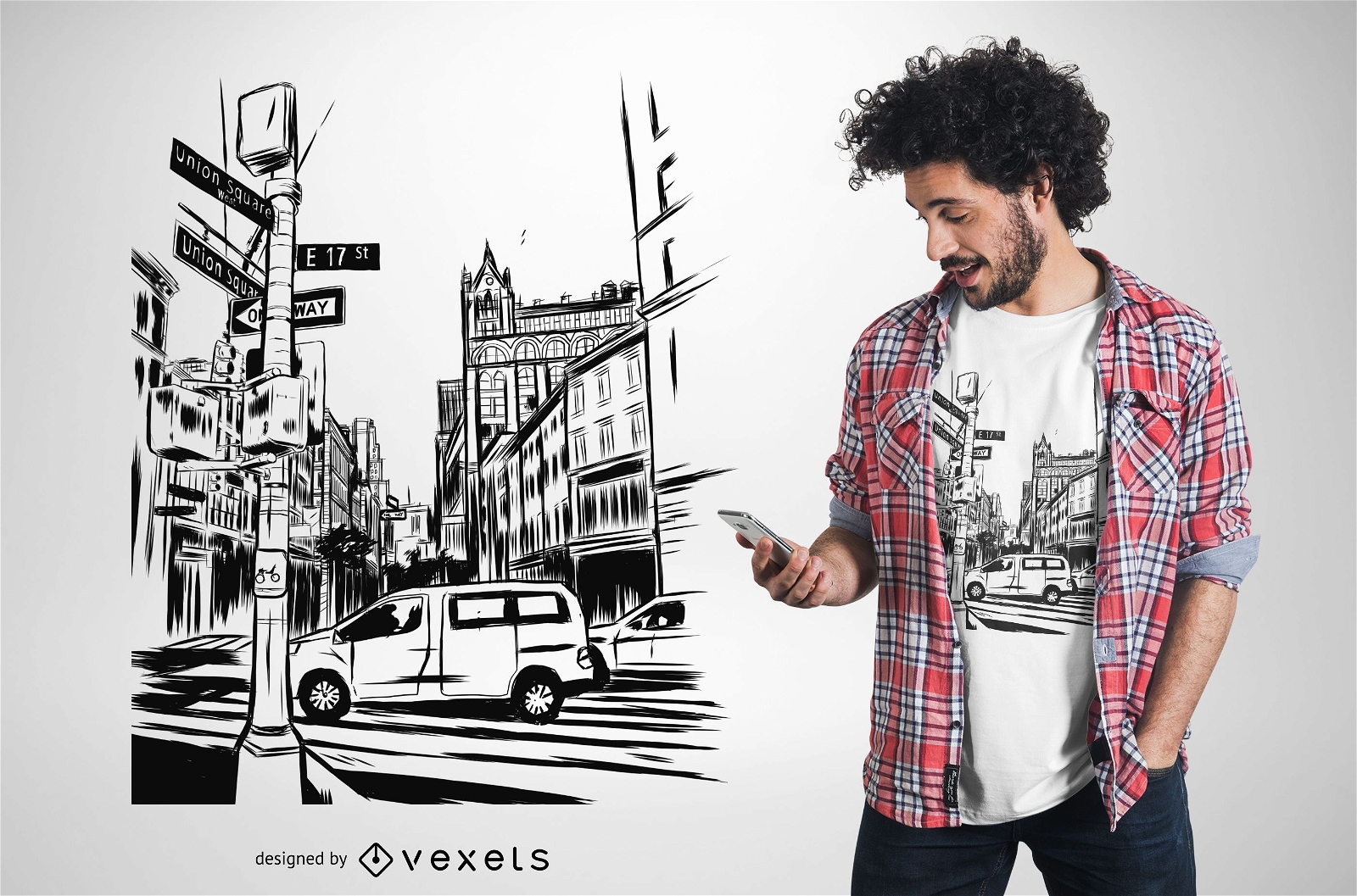
New York City urban silhouette t-shirt design
Choose a folder
All favorites
Create new
Save
New York City urban silhouette t-shirt design
for Merch
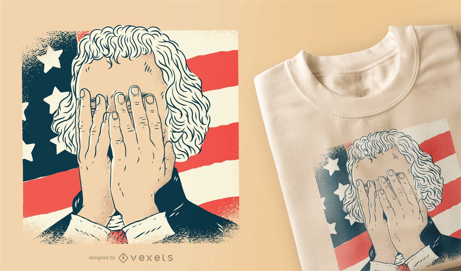
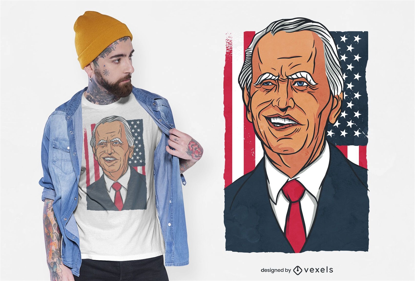
Thomas Jefferson facepalm t-shirt design
Choose a folder
All favorites
Create new
Save
Thomas Jefferson facepalm t-shirt design
Print ready
for Merch
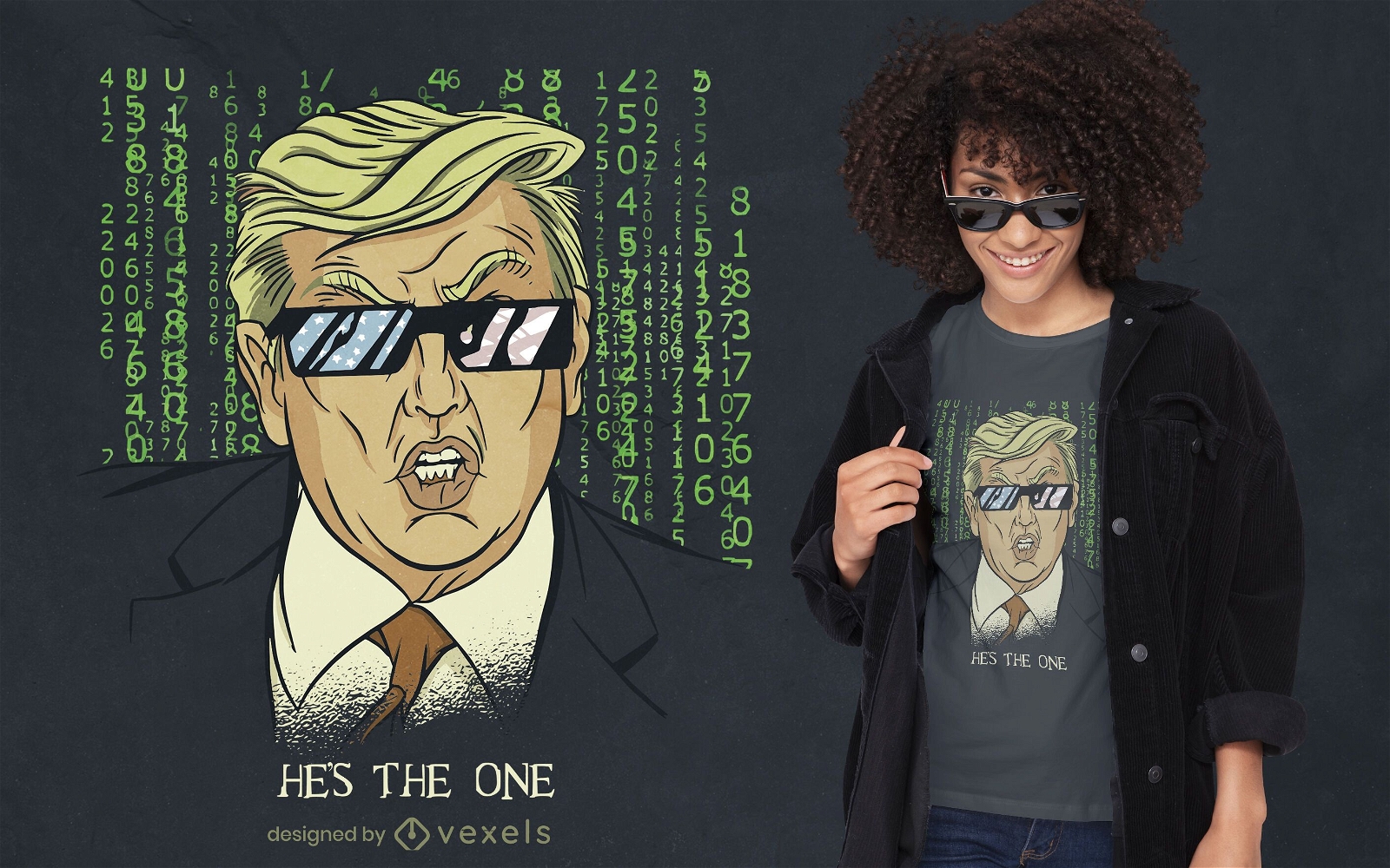
Trump parody american t-shirt design
Choose a folder
All favorites
Create new
Save
Trump parody american t-shirt design
Print ready
for Merch
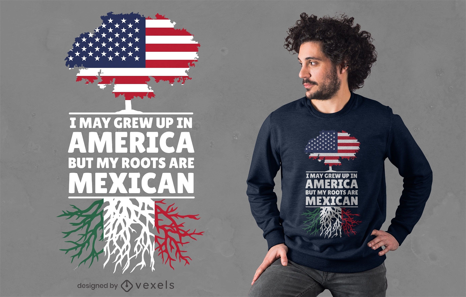
Mexican roots t-shirt design
Choose a folder
All favorites
Create new
Save
Mexican roots t-shirt design
Print ready
for Merch
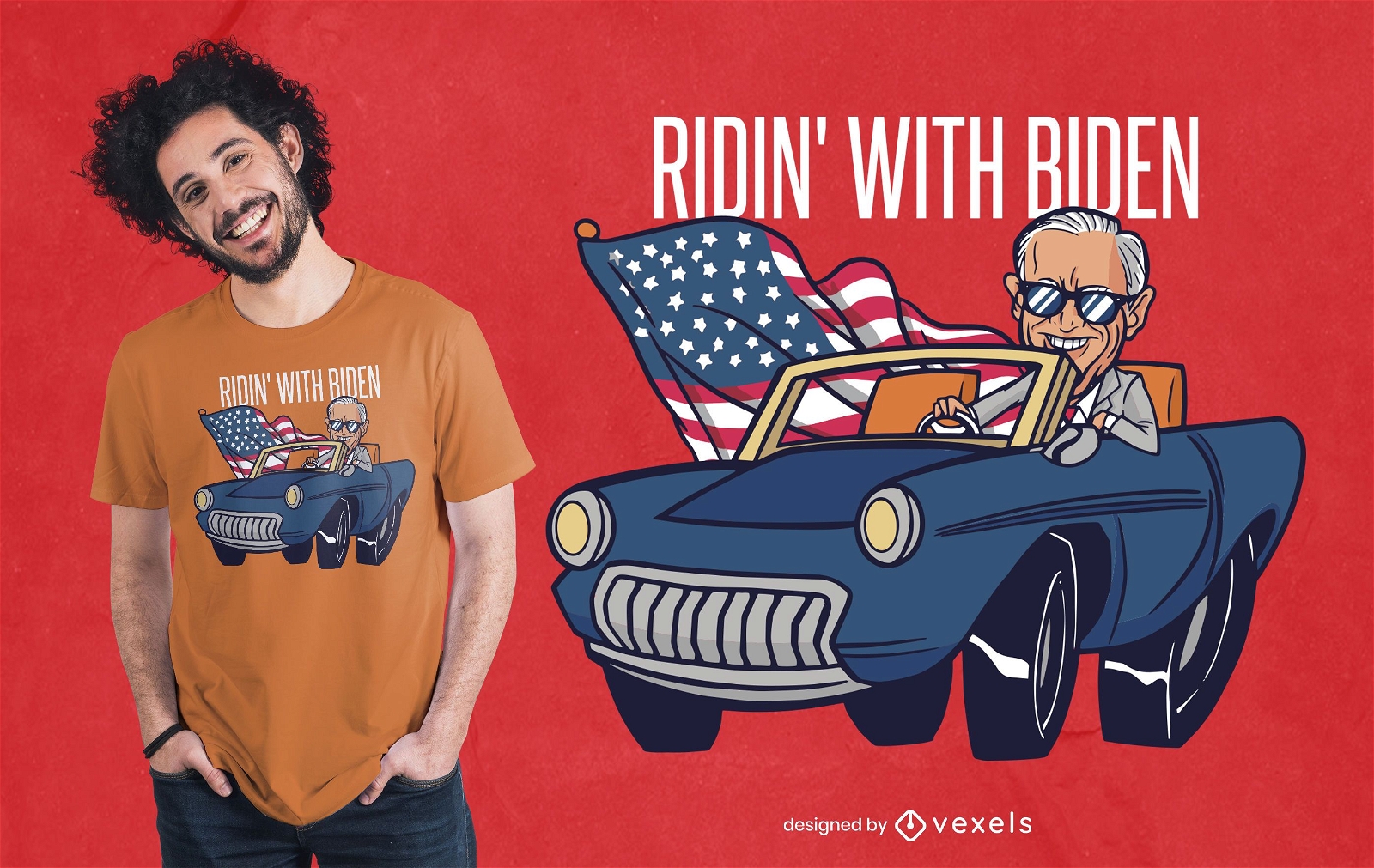
Riding With Biden T-shirt Design
Choose a folder
All favorites
Create new
Save
Riding With Biden T-shirt Design
Print ready
for Merch
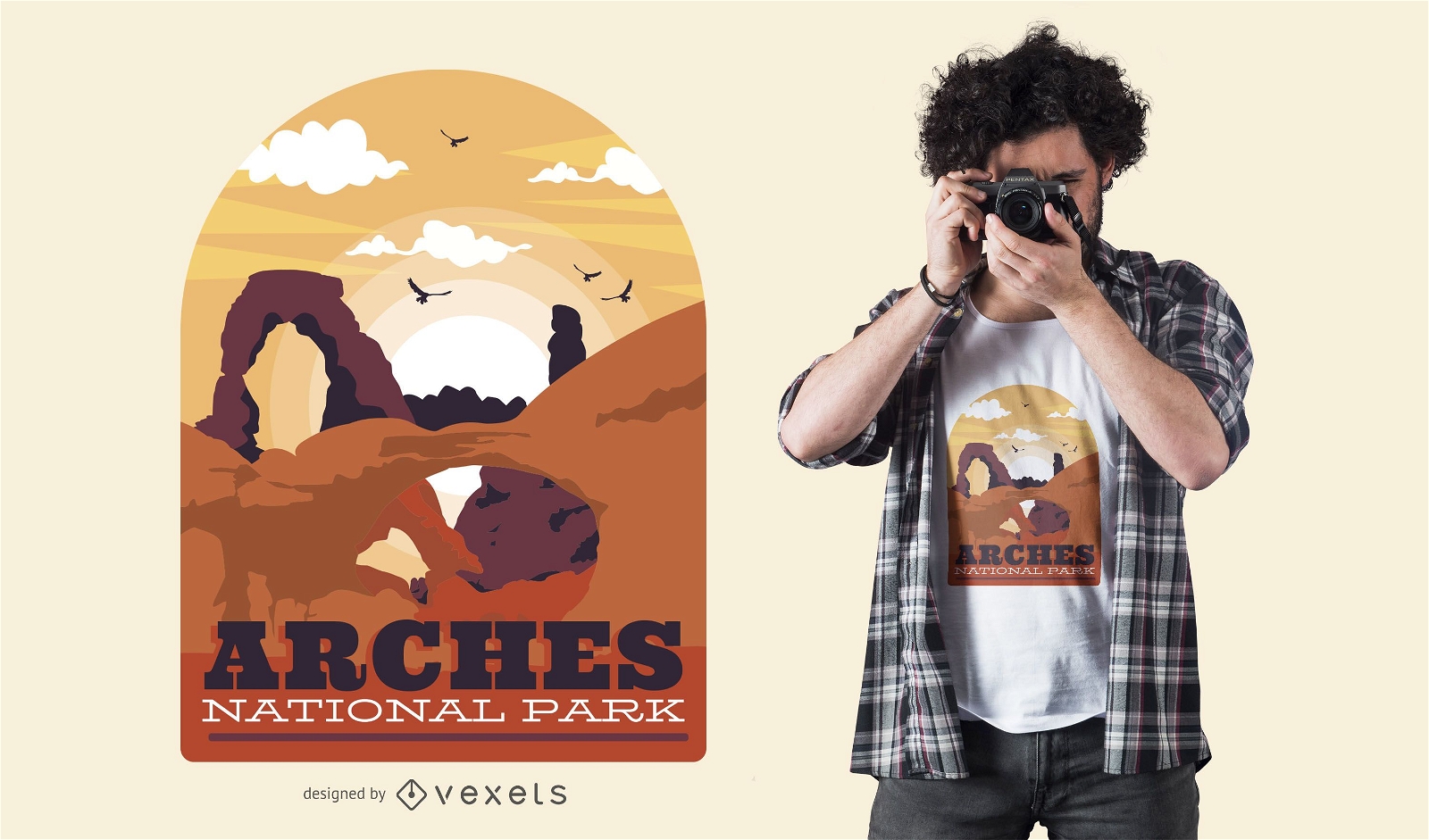
Arches park t-shirt design
Choose a folder
All favorites
Create new
Save
Arches park t-shirt design
Print ready
for Merch
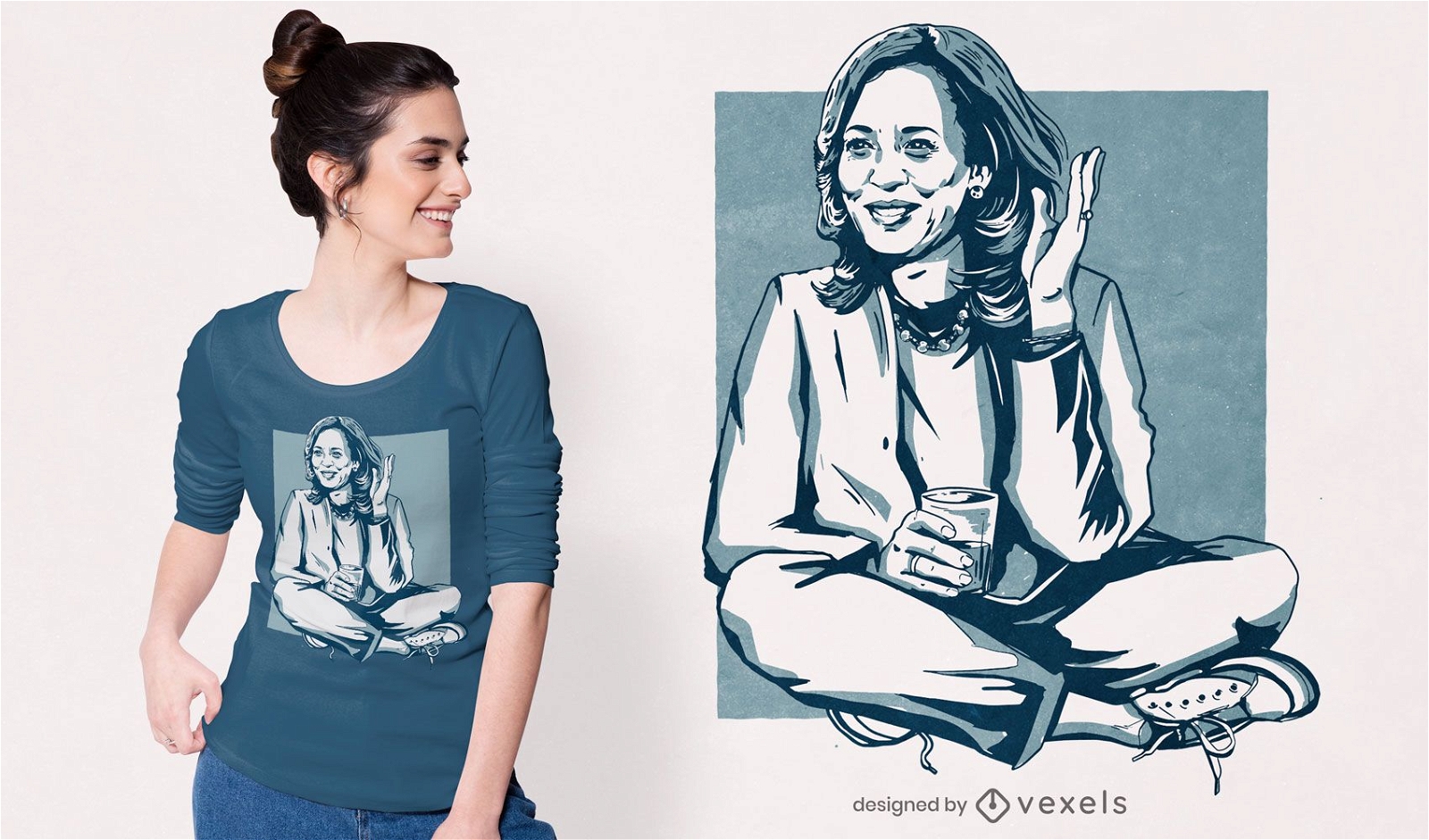
Kamala Harris illustration t-shirt design
Choose a folder
All favorites
Create new
Save
Kamala Harris illustration t-shirt design
Print ready
for Merch
New York illustration t-shirt design
Choose a folder
All favorites
Create new
Save
New York illustration t-shirt design
Print ready
for Merch
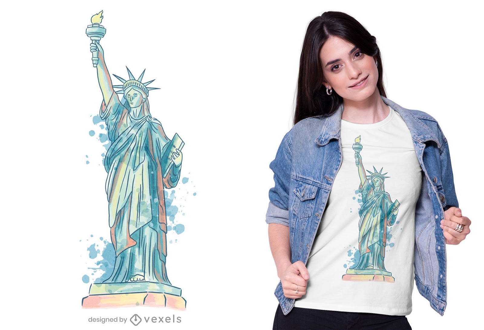
Watercolor statue of liberty t-shirt design
Choose a folder
All favorites
Create new
Save
Watercolor statue of liberty t-shirt design
Print ready
for Merch
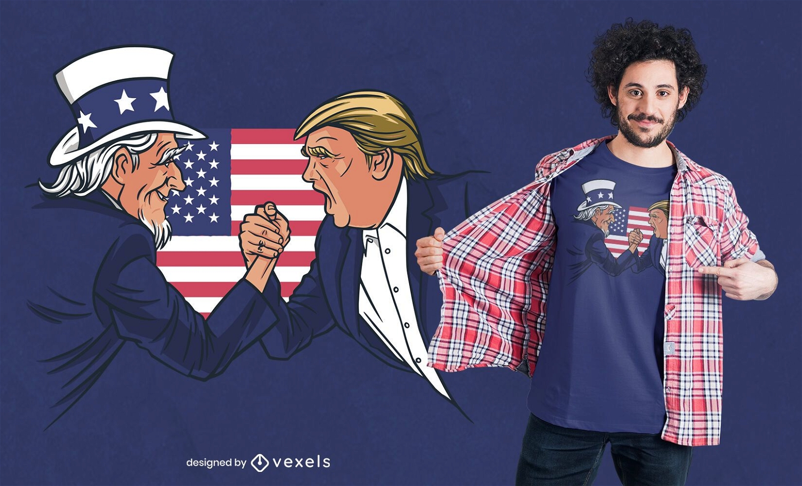
Uncle Sam and Trump T-shirt Design
Choose a folder
All favorites
Create new
Save
Uncle Sam and Trump T-shirt Design
Print ready
for Merch
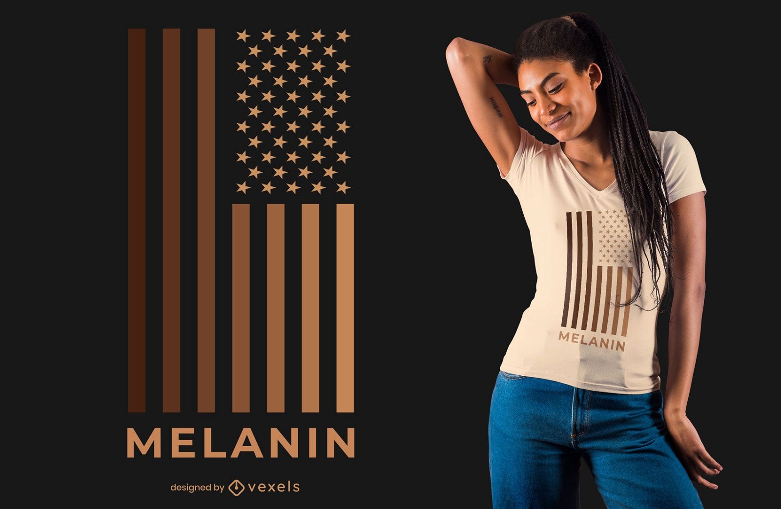
Melanin USA Flag T-shirt Design
Choose a folder
All favorites
Create new
Save
Melanin USA Flag T-shirt Design
Editable text
Print ready
for Merch
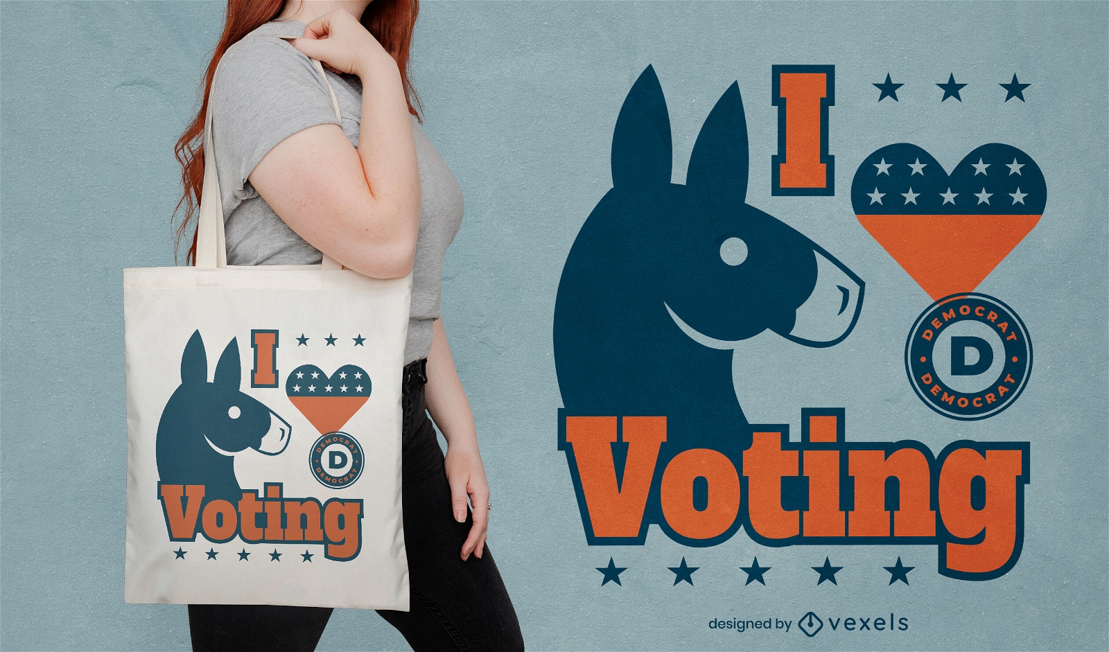
I love voting Democrats tote bag design
Choose a folder
All favorites
Create new
Save
I love voting Democrats tote bag design
Print ready
for Merch
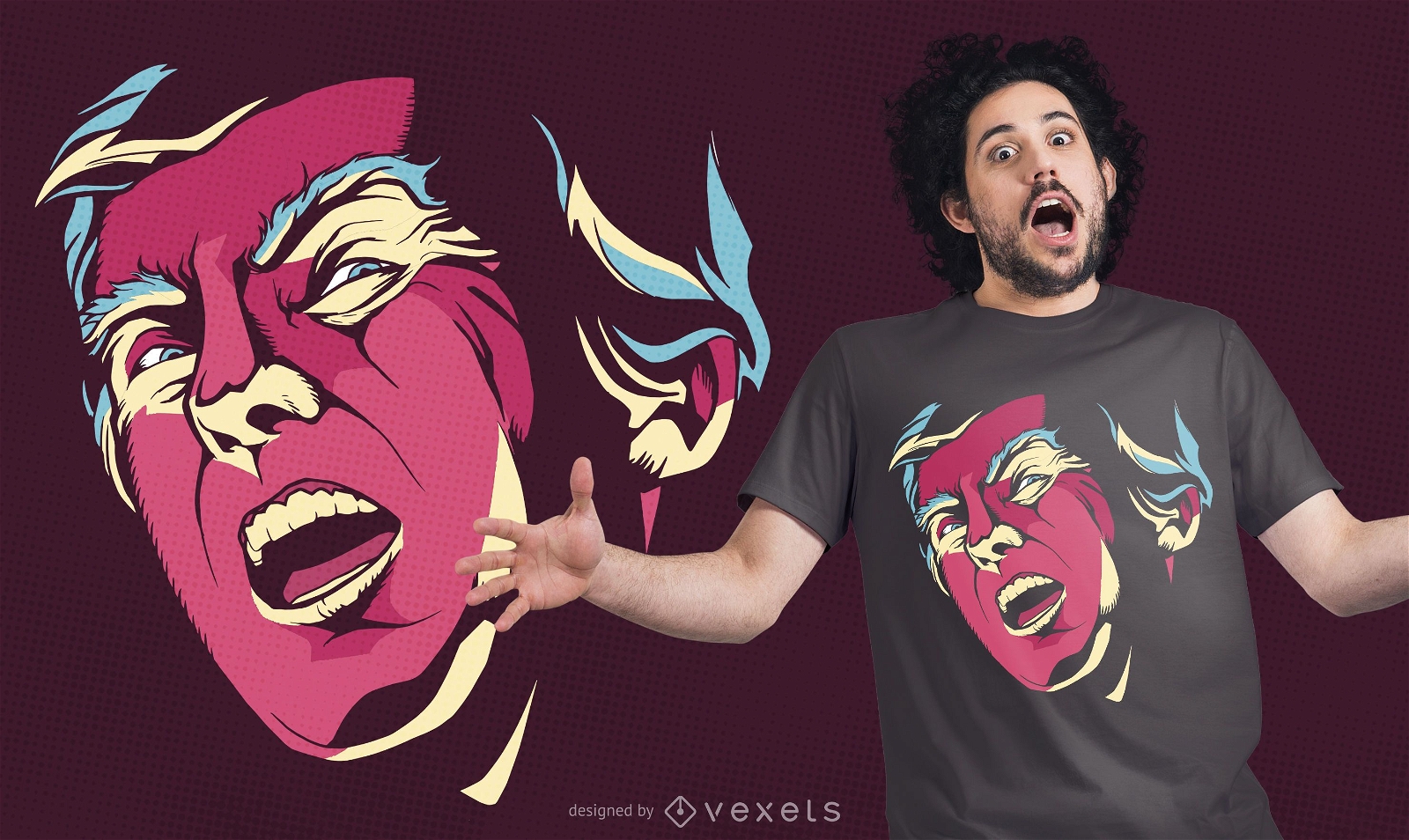
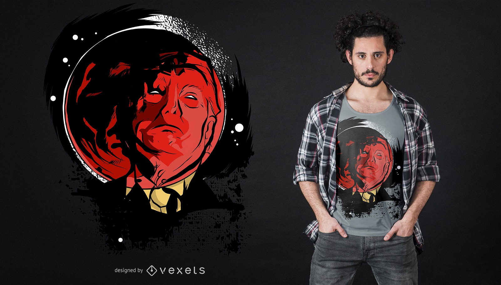
Creepy Trump t-shirt design
Choose a folder
All favorites
Create new
Save
Creepy Trump t-shirt design
Print ready
for Merch
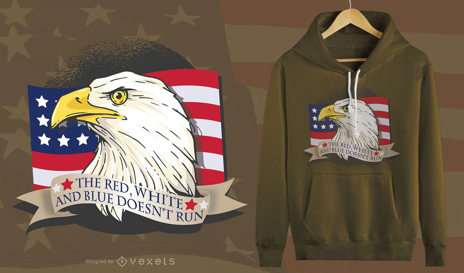
American Patriot Eagle T-Shirt Design
Choose a folder
All favorites
Create new
Save
American Patriot Eagle T-Shirt Design
Print ready
for Merch
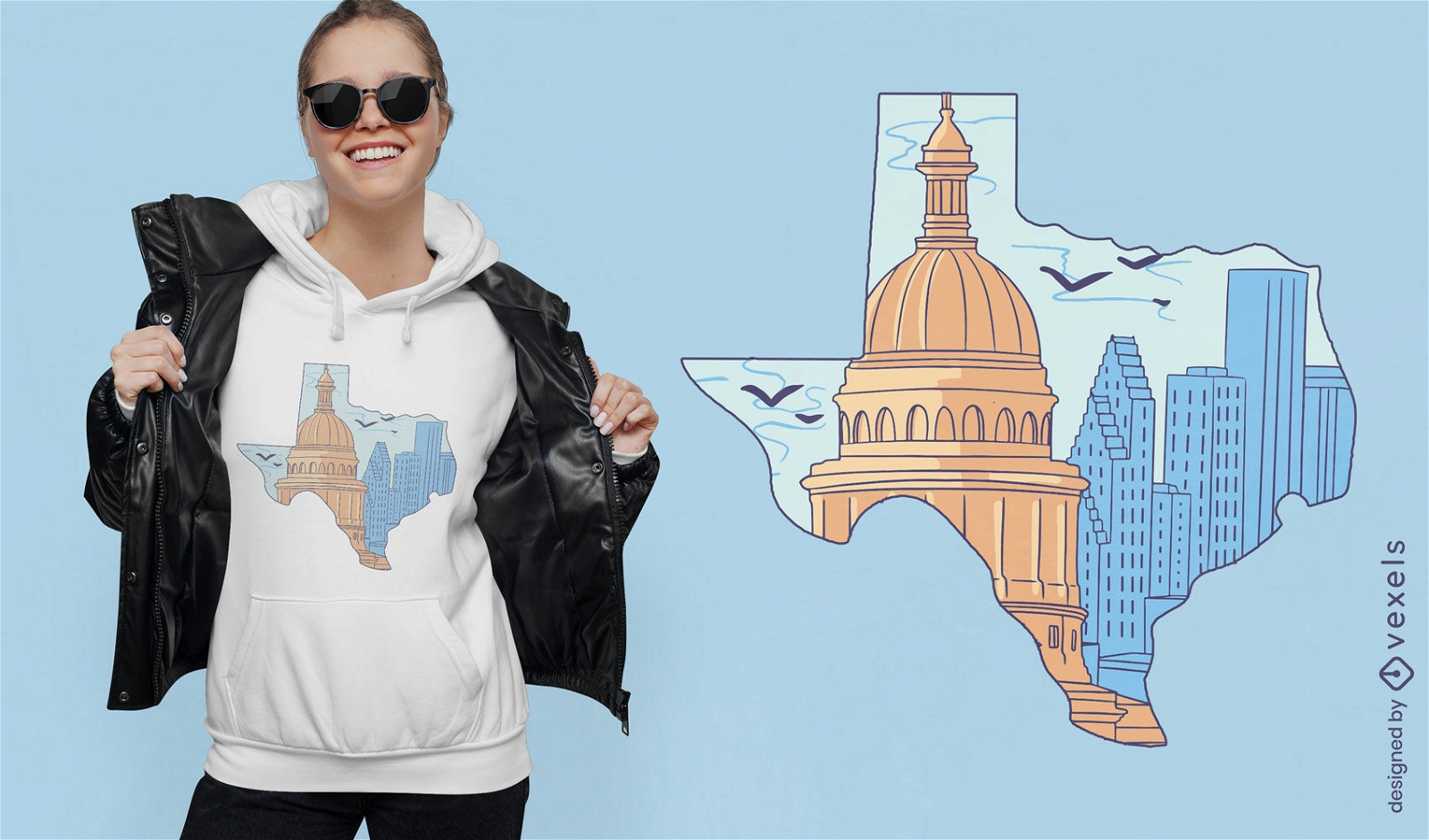
Texas silhouette with buildings t-shirt design
Choose a folder
All favorites
Create new
Save
Texas silhouette with buildings t-shirt design
Print ready
for Merch
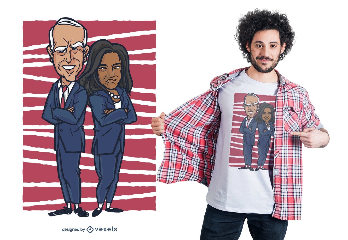
Biden harris t-shirt design
Choose a folder
All favorites
Create new
Save
Biden harris t-shirt design
Print ready
for Merch
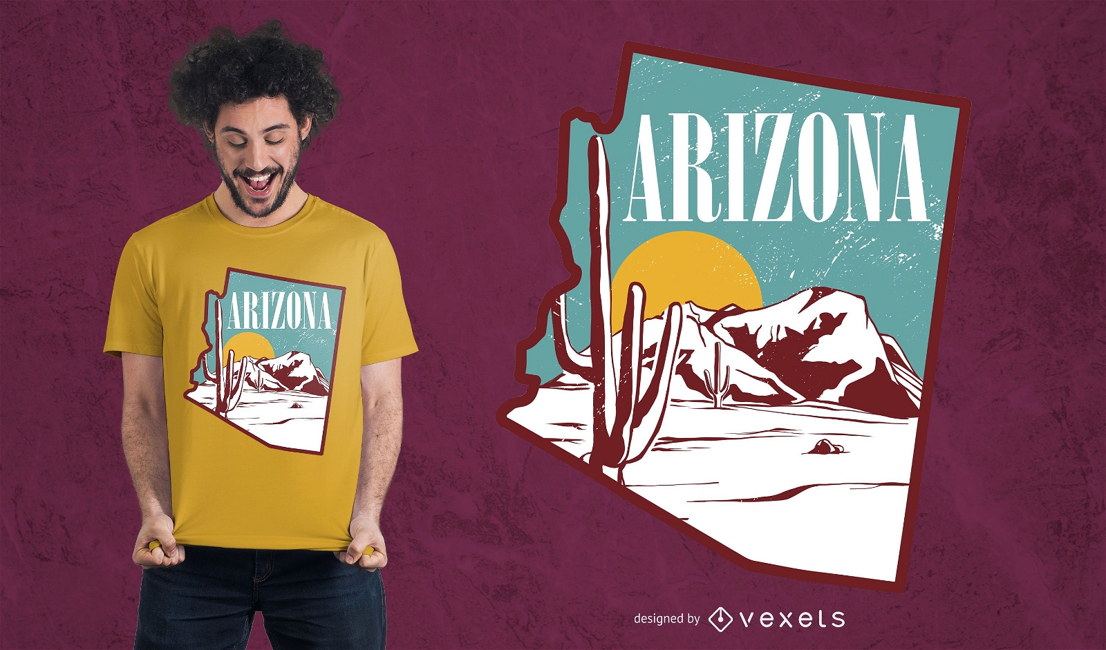
Arizona landscape t-shirt design
Choose a folder
All favorites
Create new
Save
Arizona landscape t-shirt design
Print ready
for Merch
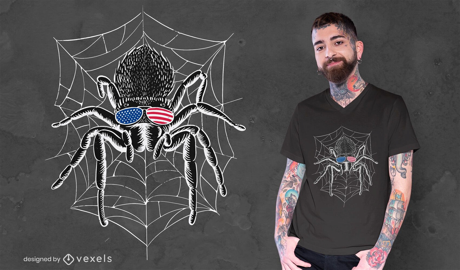
American tarantula spider t-shirt design
Choose a folder
All favorites
Create new
Save
American tarantula spider t-shirt design
for Merch
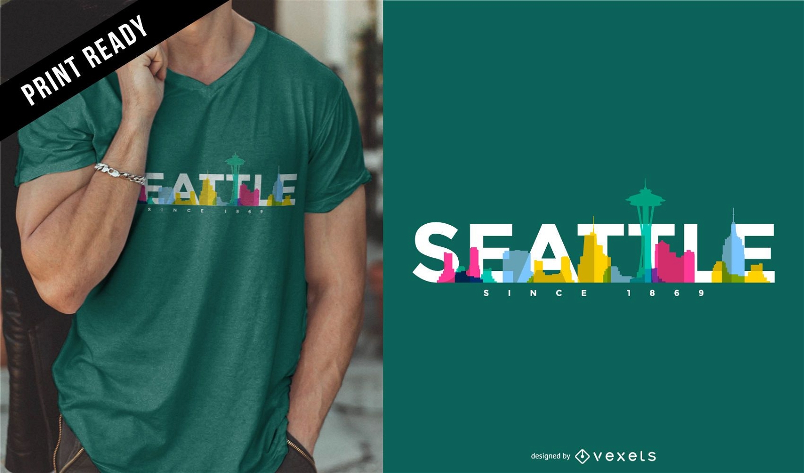
Seattle skyline t-shirt design
Choose a folder
All favorites
Create new
Save
Seattle skyline t-shirt design
Editable text
Print ready
for Merch
Choose freedom republicans mug design
Choose a folder
All favorites
Create new
Save
Choose freedom republicans mug design
Print ready
for Merch
Patriotic T-rex T-shirt Design
Choose a folder
All favorites
Create new
Save
Patriotic T-rex T-shirt Design
Print ready
for Merch
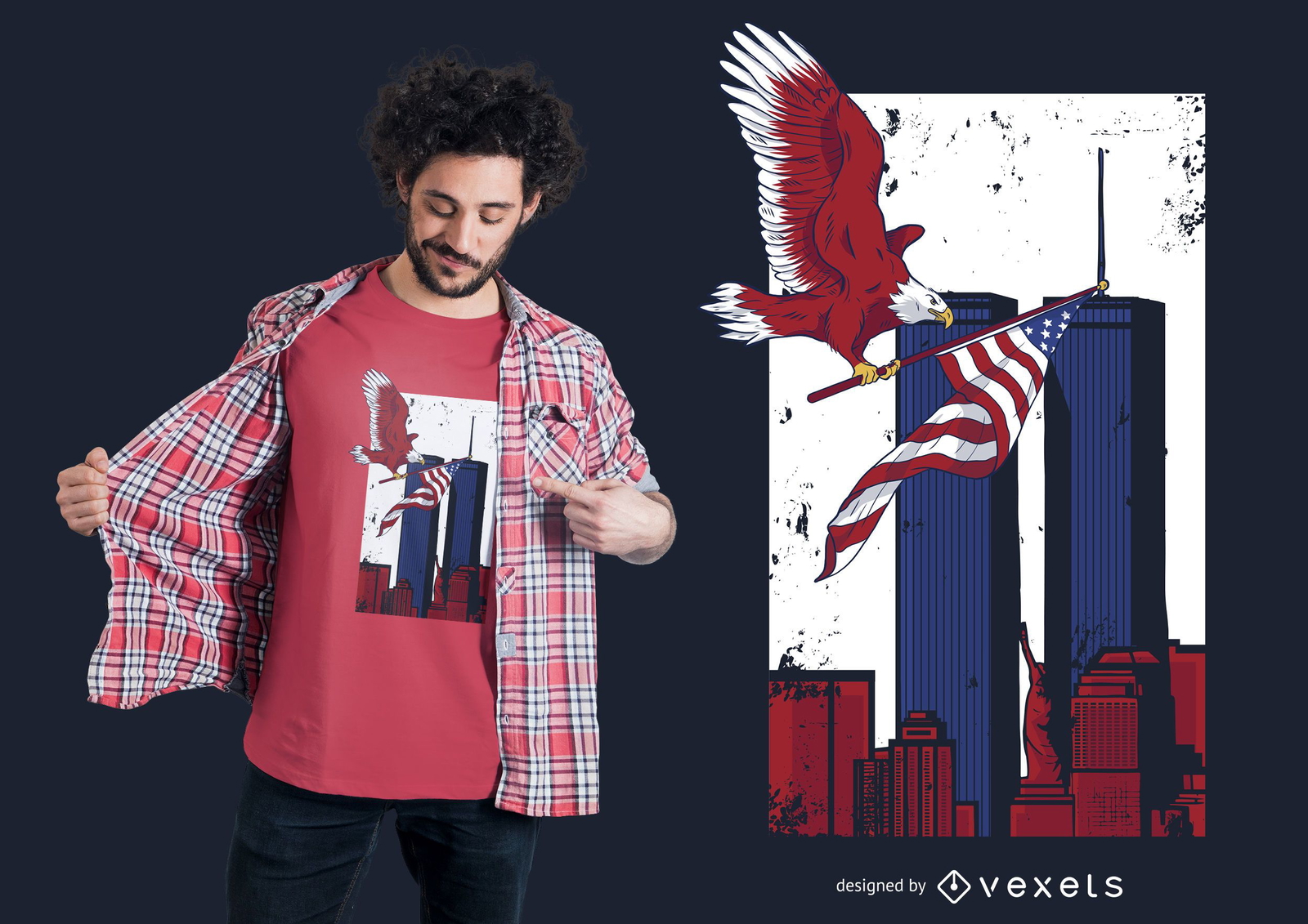
Twin Towers Memorial T-shirt Design
Choose a folder
All favorites
Create new
Save
Twin Towers Memorial T-shirt Design
Print ready
for Merch
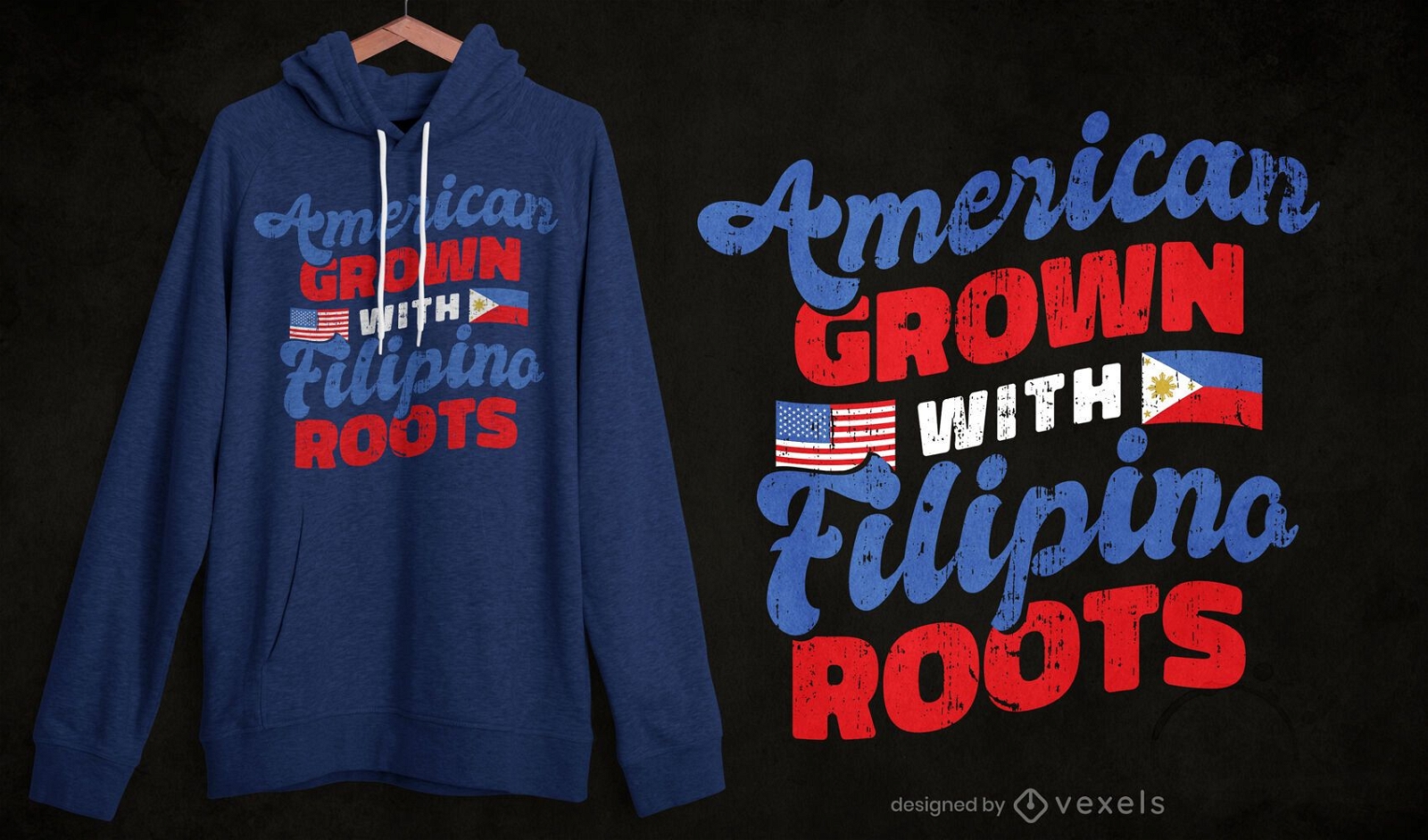
American filipino t-shirt design
Choose a folder
All favorites
Create new
Save
American filipino t-shirt design
Print ready
for Merch
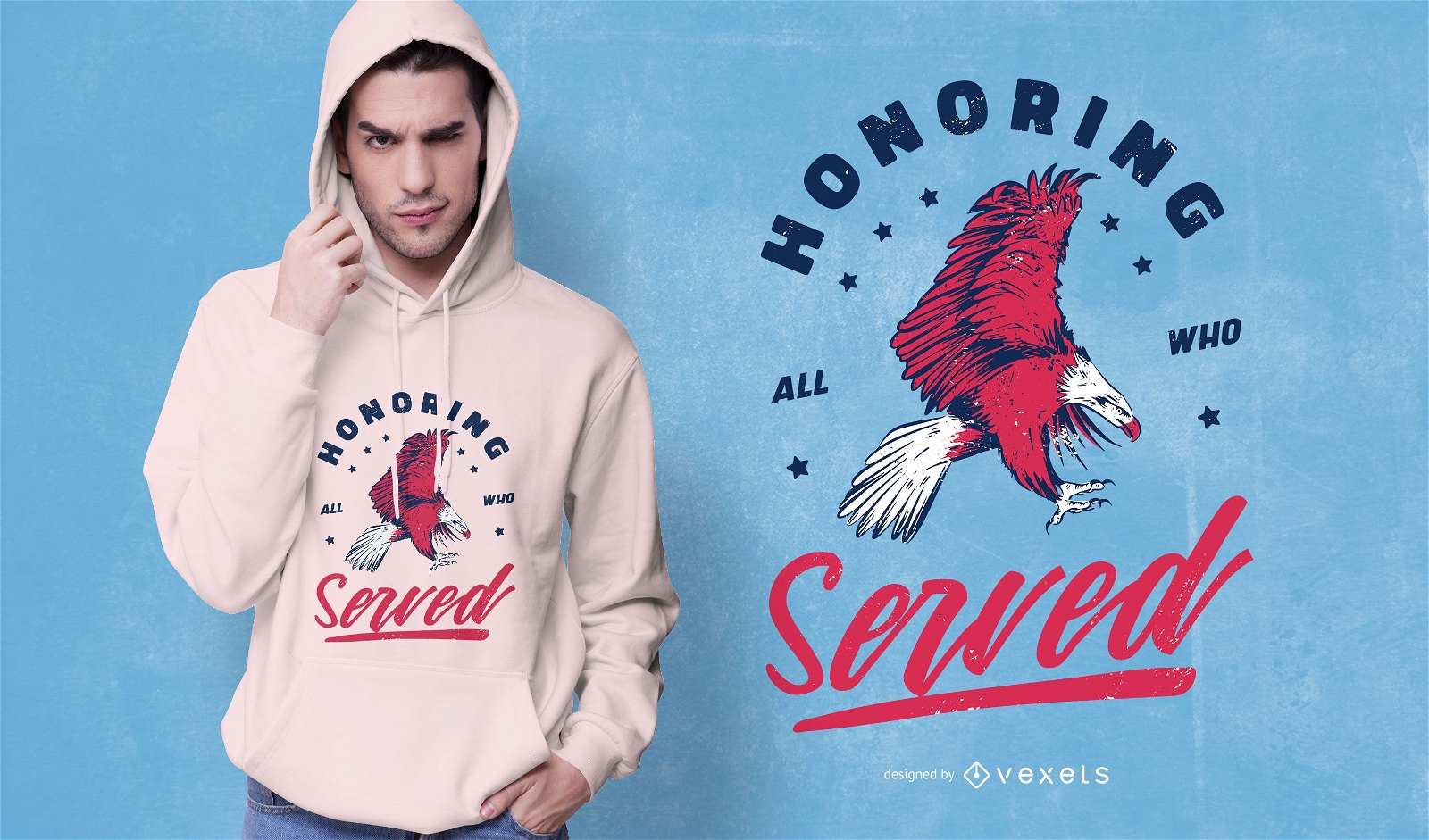
Veterans day holiday t-shirt design
Choose a folder
All favorites
Create new
Save
Veterans day holiday t-shirt design
Print ready
for Merch
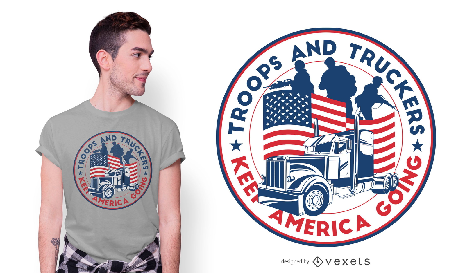
American Truckers T-shirt Design
Choose a folder
All favorites
Create new
Save
American Truckers T-shirt Design
for Merch
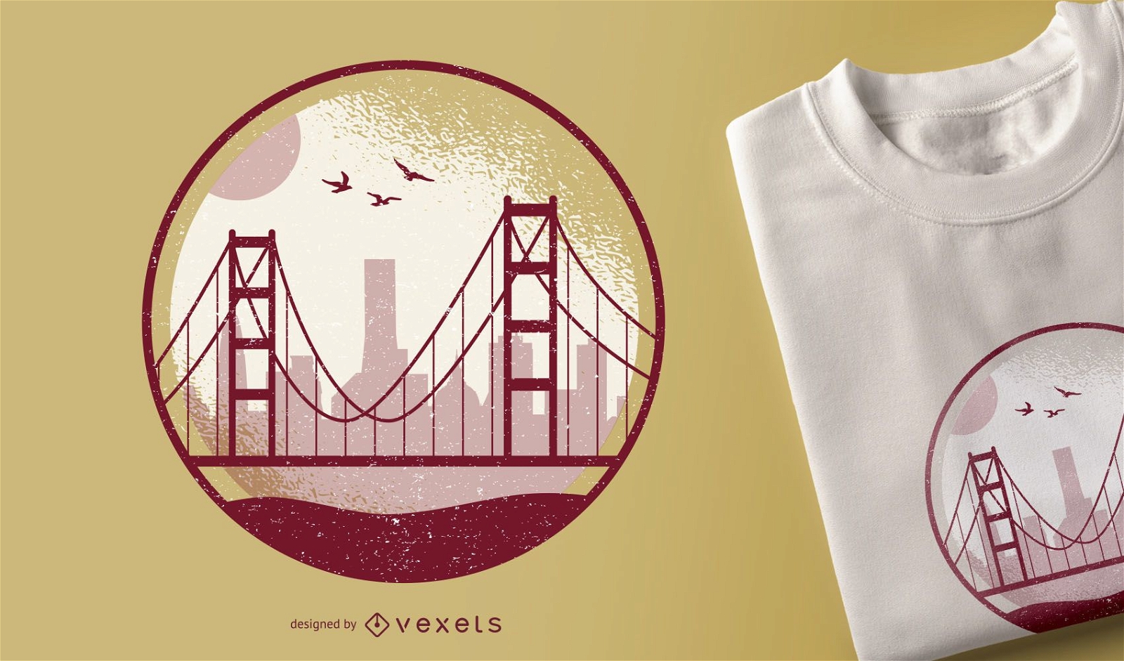
Golden Gate t-shirt design
Choose a folder
All favorites
Create new
Save
Golden Gate t-shirt design
Print ready
for Merch
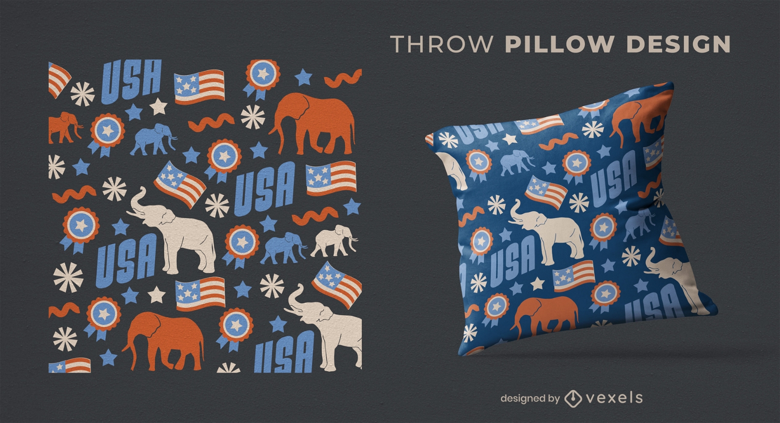
USA Republican elephants throw pillow design
Choose a folder
All favorites
Create new
Save
USA Republican elephants throw pillow design
for Merch
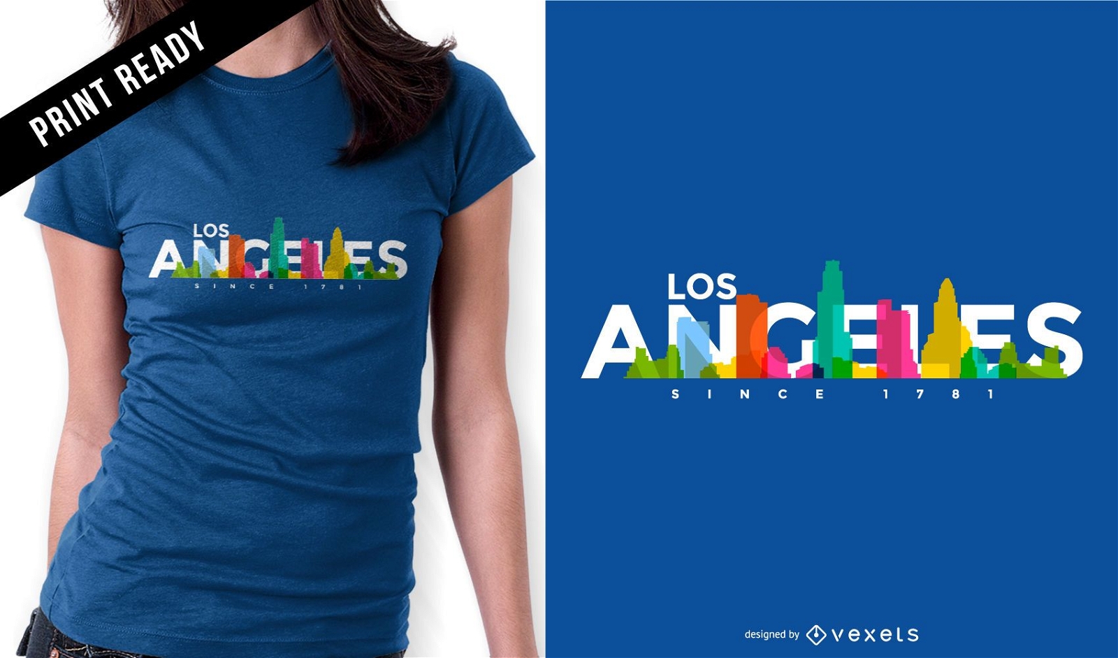
Los Angeles skyline t-shirt design
Choose a folder
All favorites
Create new
Save
Los Angeles skyline t-shirt design
Print ready
for Merch
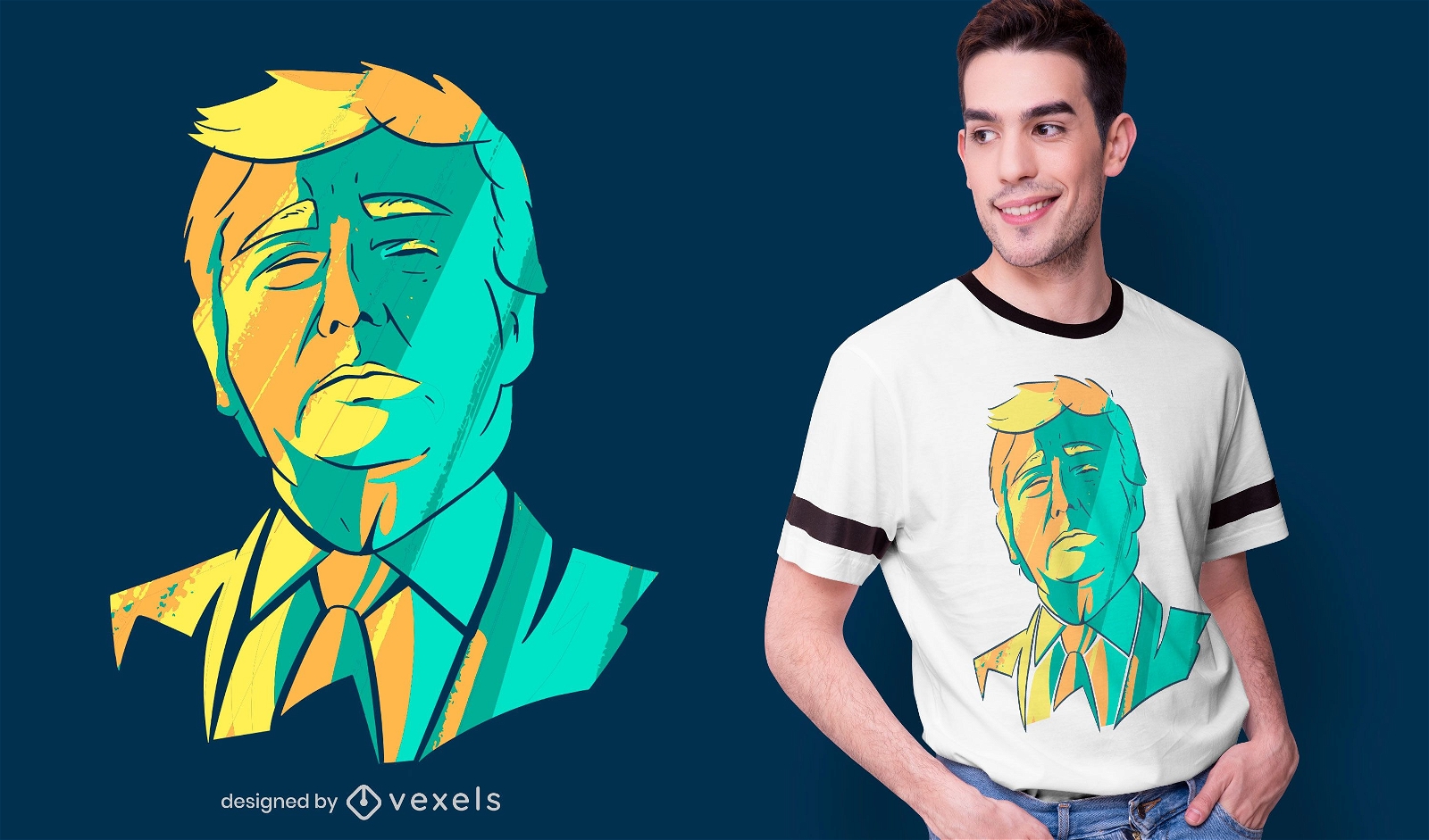
Donald Trump head t-shirt design
Choose a folder
All favorites
Create new
Save
Donald Trump head t-shirt design
for Merch
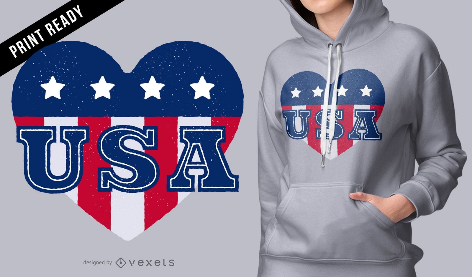
USA heart t-shirt design
Choose a folder
All favorites
Create new
Save
USA heart t-shirt design
Print ready
for Merch
Joe biden cartoon t-shirt design
Choose a folder
All favorites
Create new
Save
Joe biden cartoon t-shirt design
Editable text
Print ready
for Merch
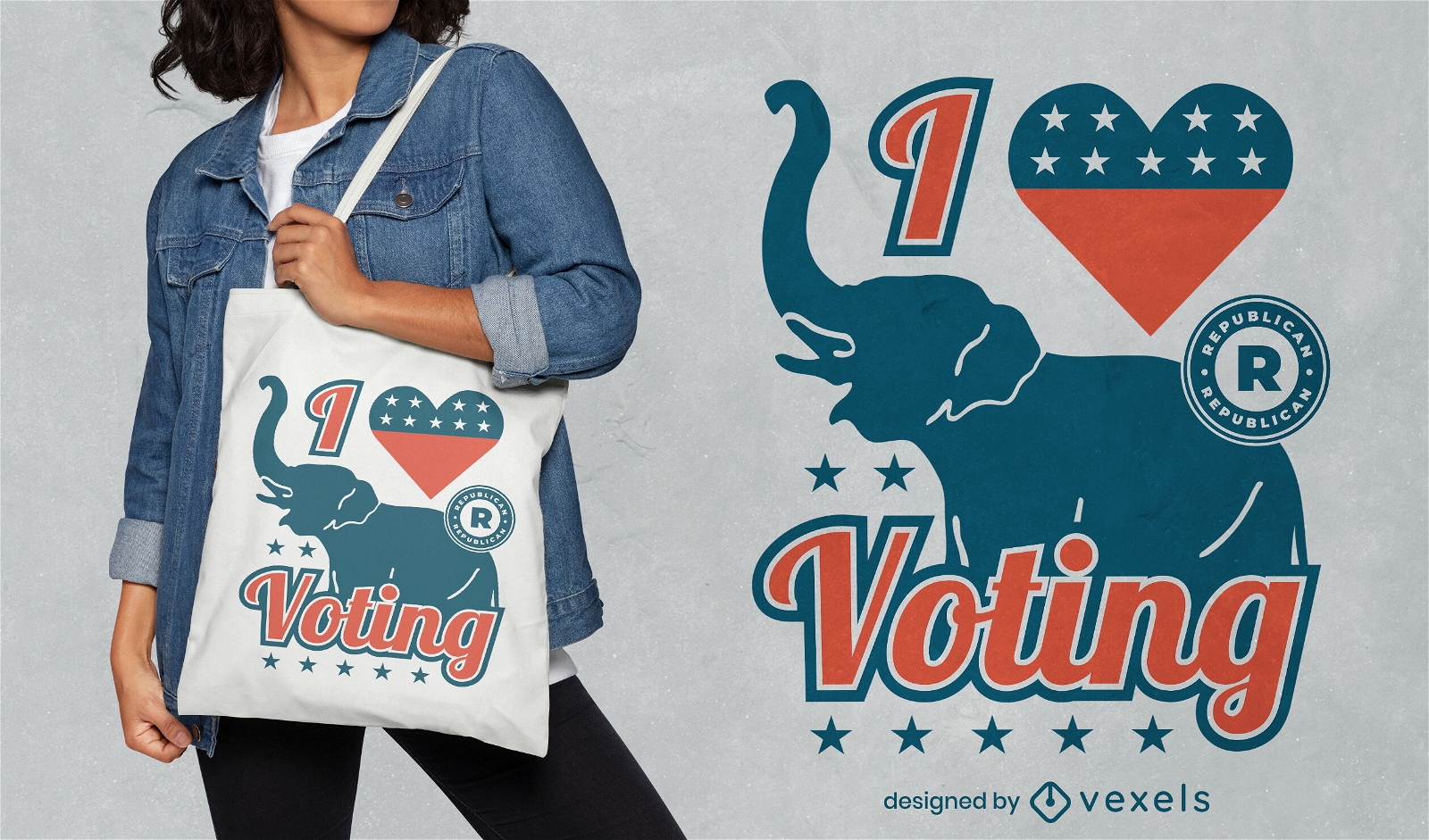
I love voting Republicans tote bag design
Choose a folder
All favorites
Create new
Save
I love voting Republicans tote bag design
Print ready
for Merch
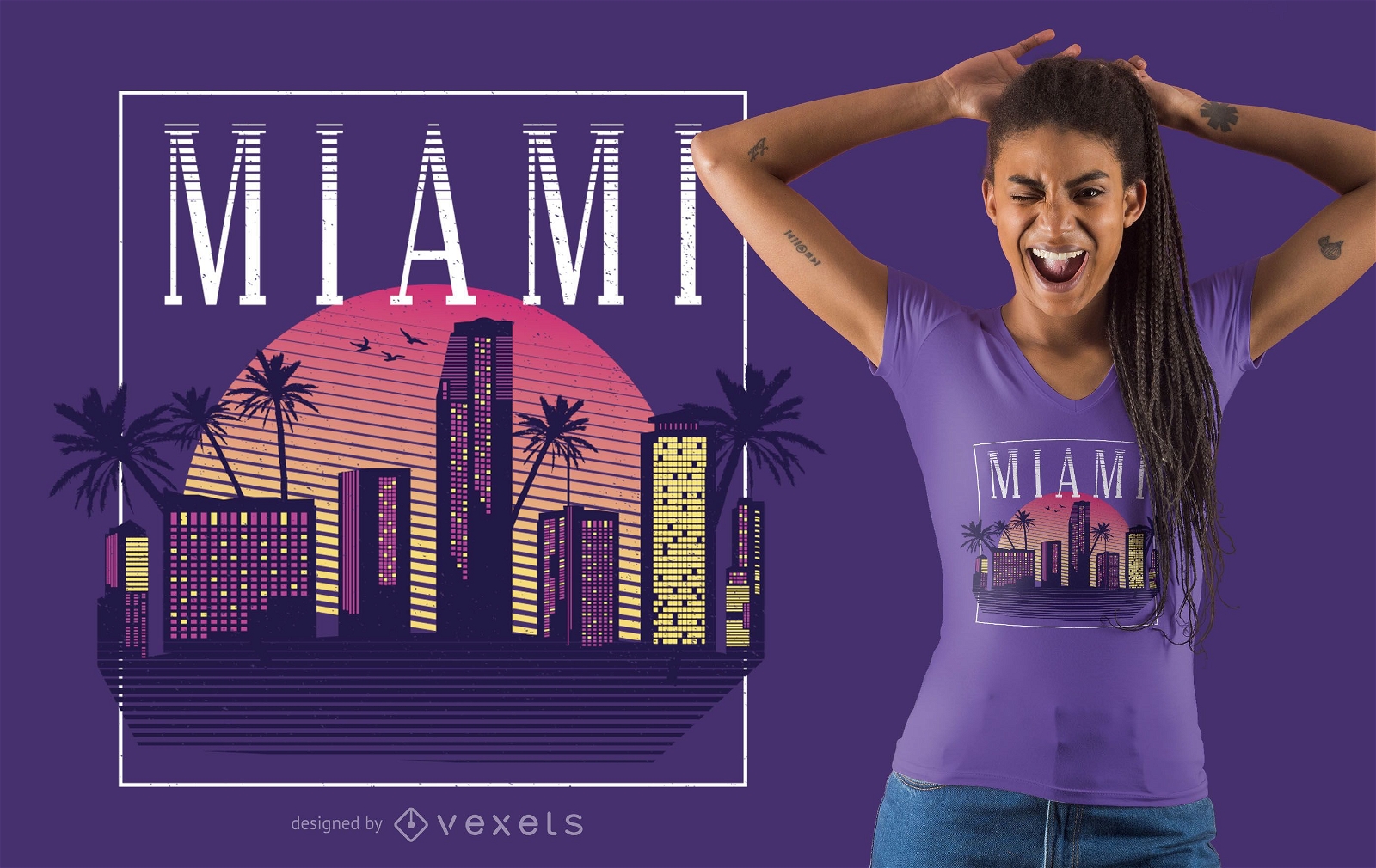
Retro Style Miami T-shirt Design
Choose a folder
All favorites
Create new
Save
Retro Style Miami T-shirt Design
Print ready
for Merch
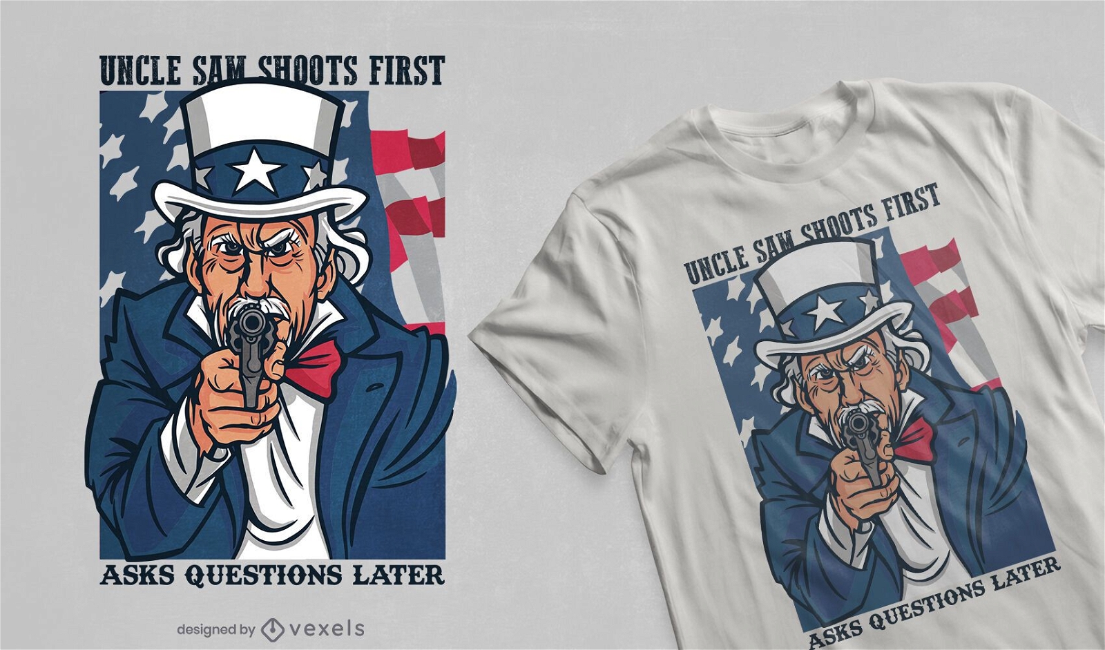
Uncle sam shoots t-shirt design
Choose a folder
All favorites
Create new
Save
Uncle sam shoots t-shirt design
for Merch
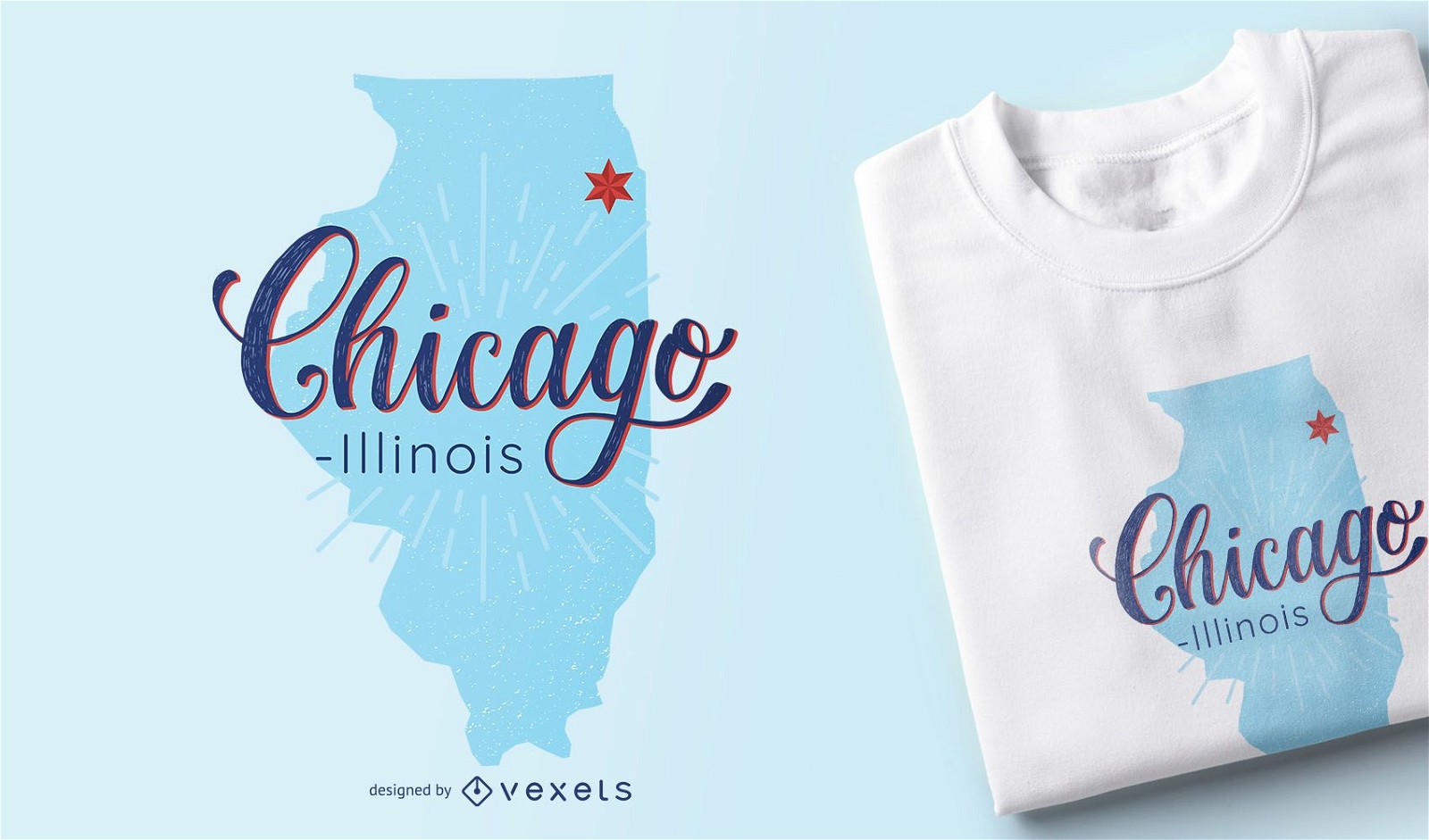
Chicago Illinois Map T-shirt Design
Choose a folder
All favorites
Create new
Save
Chicago Illinois Map T-shirt Design
Print ready
for Merch
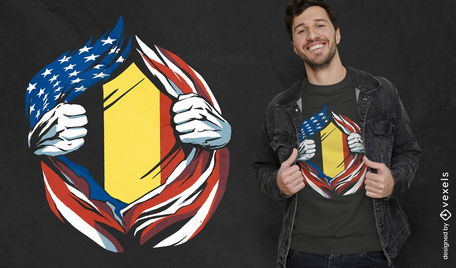
American and Belgium flag t-shirt design
Choose a folder
All favorites
Create new
Save
American and Belgium flag t-shirt design
for Merch
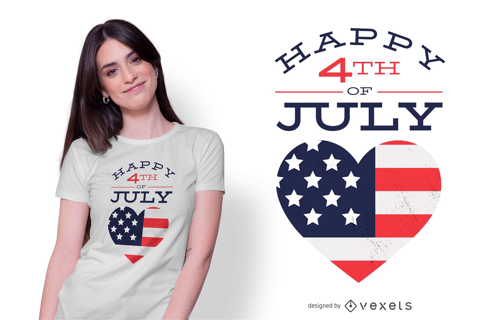
Happy 4th July T-shirt Design
Choose a folder
All favorites
Create new
Save
Happy 4th July T-shirt Design
Print ready
for Merch
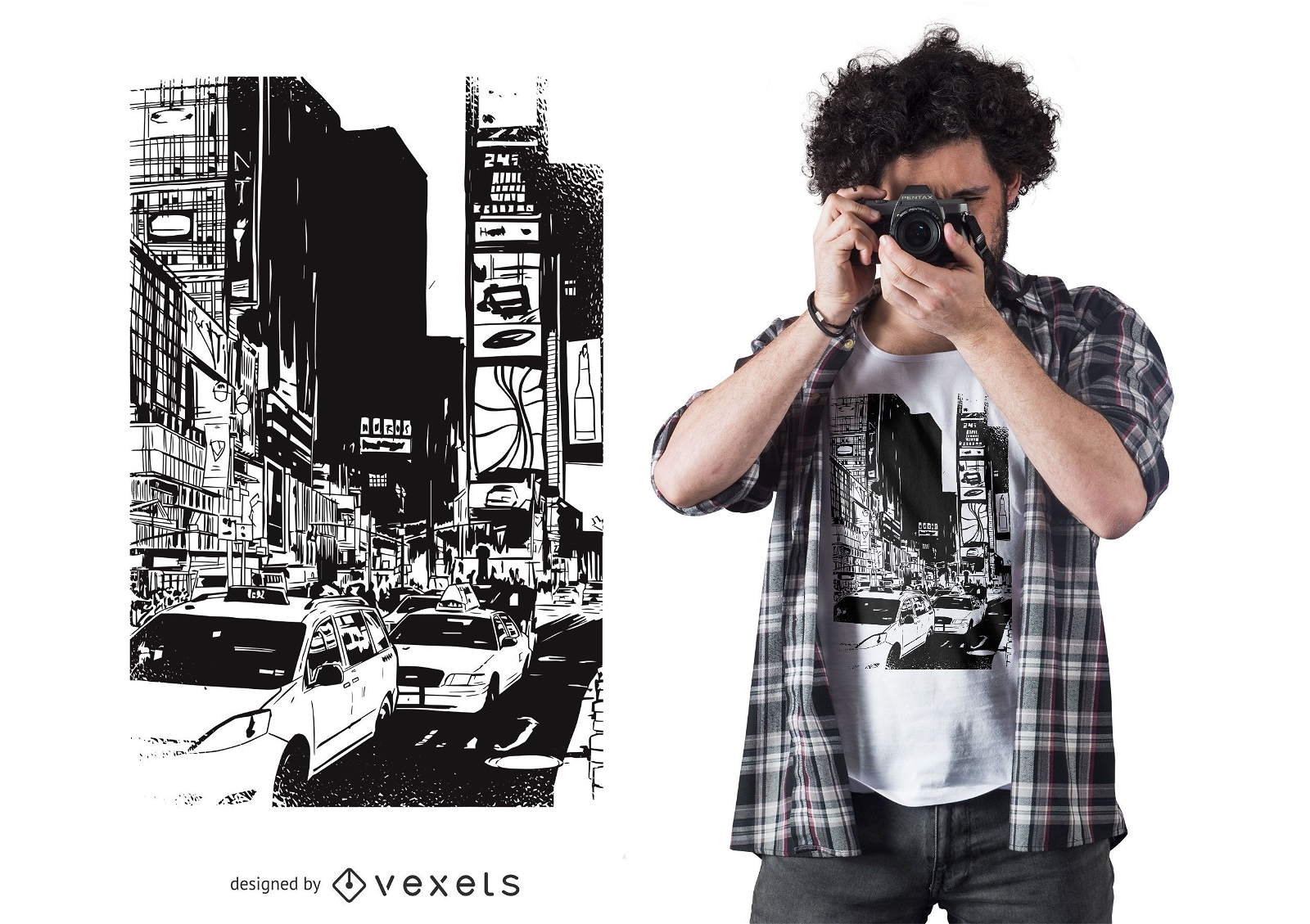
Time Square T-shirt Design
Choose a folder
All favorites
Create new
Save
Time Square T-shirt Design
for Merch
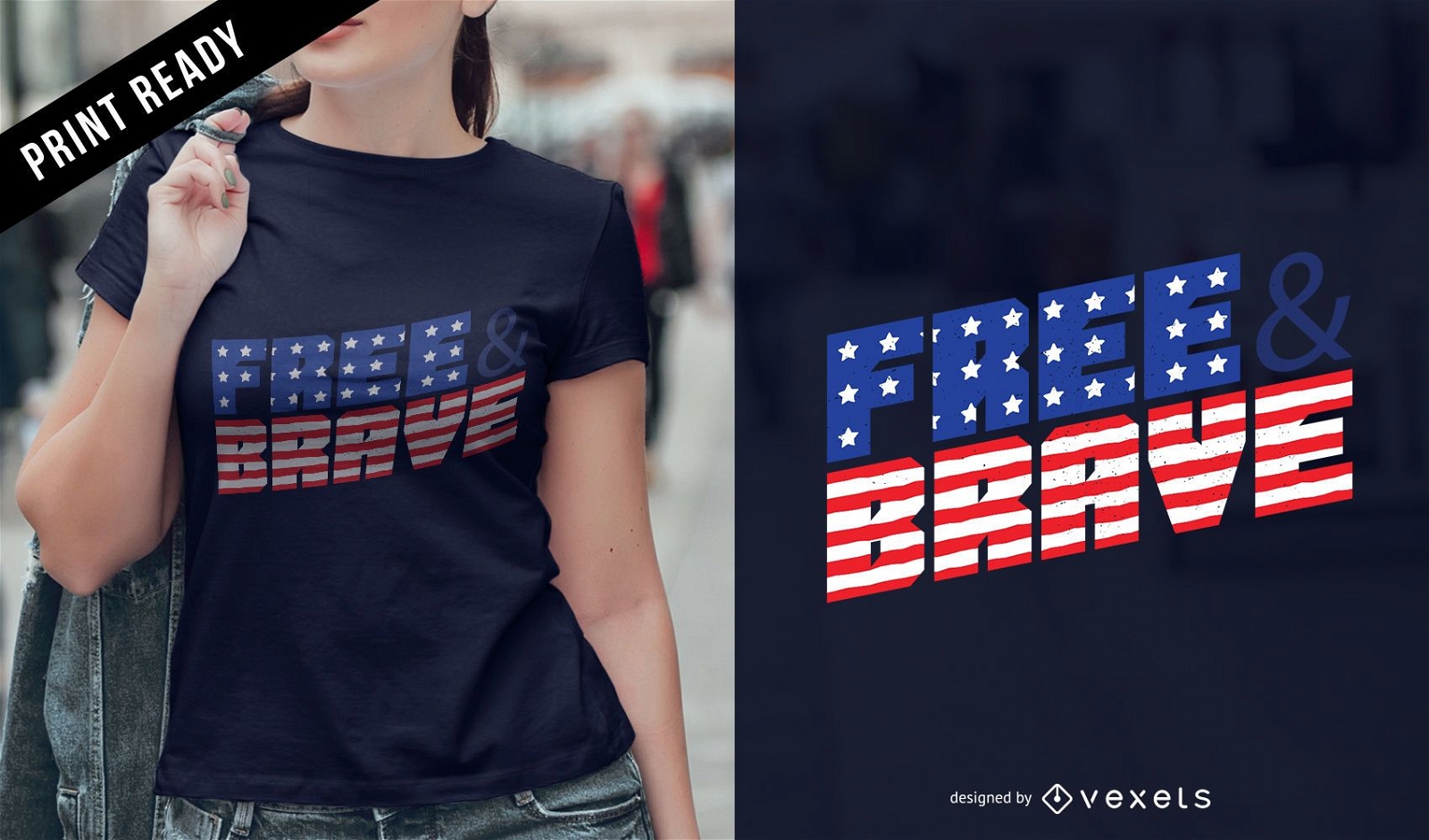
Free and brave t-shirt design
Choose a folder
All favorites
Create new
Save
Free and brave t-shirt design
Print ready
for Merch
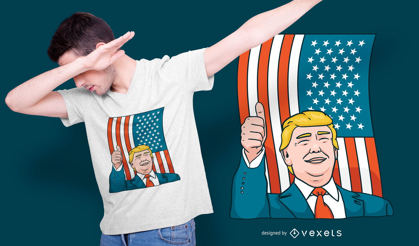
Donald Trump t-shirt design
Choose a folder
All favorites
Create new
Save
Donald Trump t-shirt design
Print ready
for Merch
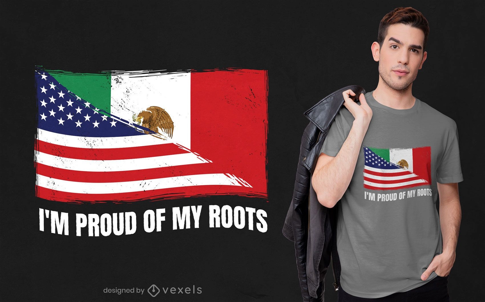
Proud of my roots t-shirt design
Choose a folder
All favorites
Create new
Save
Proud of my roots t-shirt design
for Merch
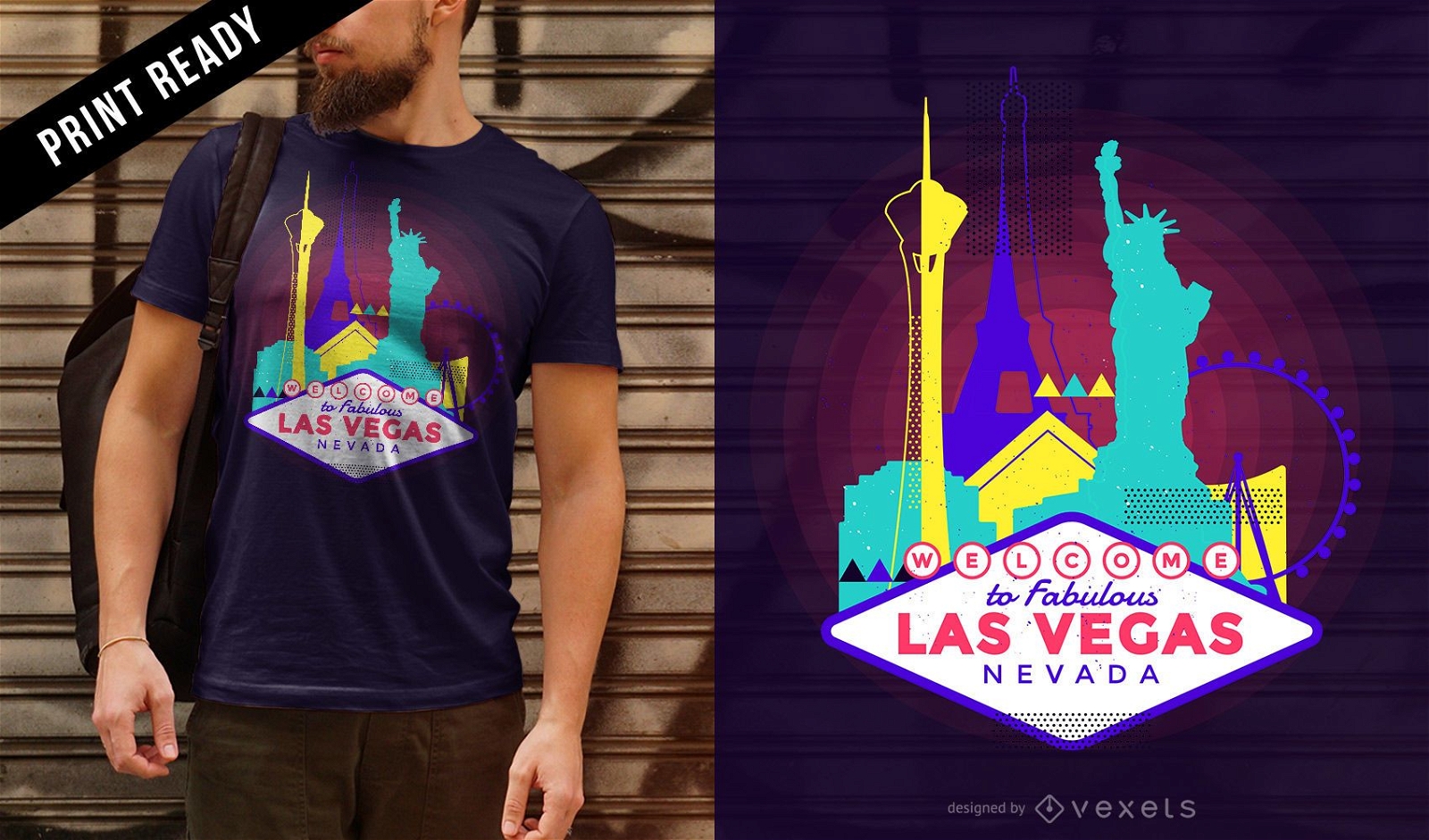
Neon Las Vegas skyline t-shirt design
Choose a folder
All favorites
Create new
Save
Neon Las Vegas skyline t-shirt design
Print ready
for Merch
Trump Eclipse T-Shirt Design
Choose a folder
All favorites
Create new
Save
Trump Eclipse T-Shirt Design
Subscribe
To Get High-Quality Commercial Use Designs For Your Business
SEE PLANS
Next
of 19
prev page
next page