Design Library
Explore Designs
New Merch Designs
Trending Merch Designs
Vectors
PNGs & SVGs
Mockups
T-Shirts
T-Shirt PSD Templates
KDP Designs
Phone Cases
Pillows
Tote Bags
Posters
Mugs
Design Tools
Designer
New!
T-shirt Maker
Mockup Generator
Quote Generator
Logo Maker
Resources
Merch Digest
Blog
Help Center
Creators Program
Learn About Merch
Changelog
Pricing
Loading...
Sign Up
Login
Vectors
united
states
Design Library
Explore Designs
New Merch Designs
Trending Merch Designs
Vectors
PNGs & SVGs
Mockups
T-Shirts
T-Shirt PSD Templates
KDP Designs
Phone Cases
Pillows
Tote Bags
Posters
Mugs
Design Tools
Designer
New!
T-shirt Maker
Mockup Generator
Quote Generator
Logo Maker
Resources
Merch Digest
Blog
Help Center
Creators Program
Learn About Merch
Changelog
PLANS
Vectors
united
states
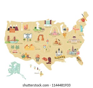
905 united states Vectors & Graphics to Download
Download united states editable vector graphics for every design project. In AI, SVG, PNG, JPG and PSD.
Related:
united states of america
,
united states skyline
,
united-states
Sort by
Most relevant
Sponsored results by
Get 15% off with code: VEXELS15
Show more
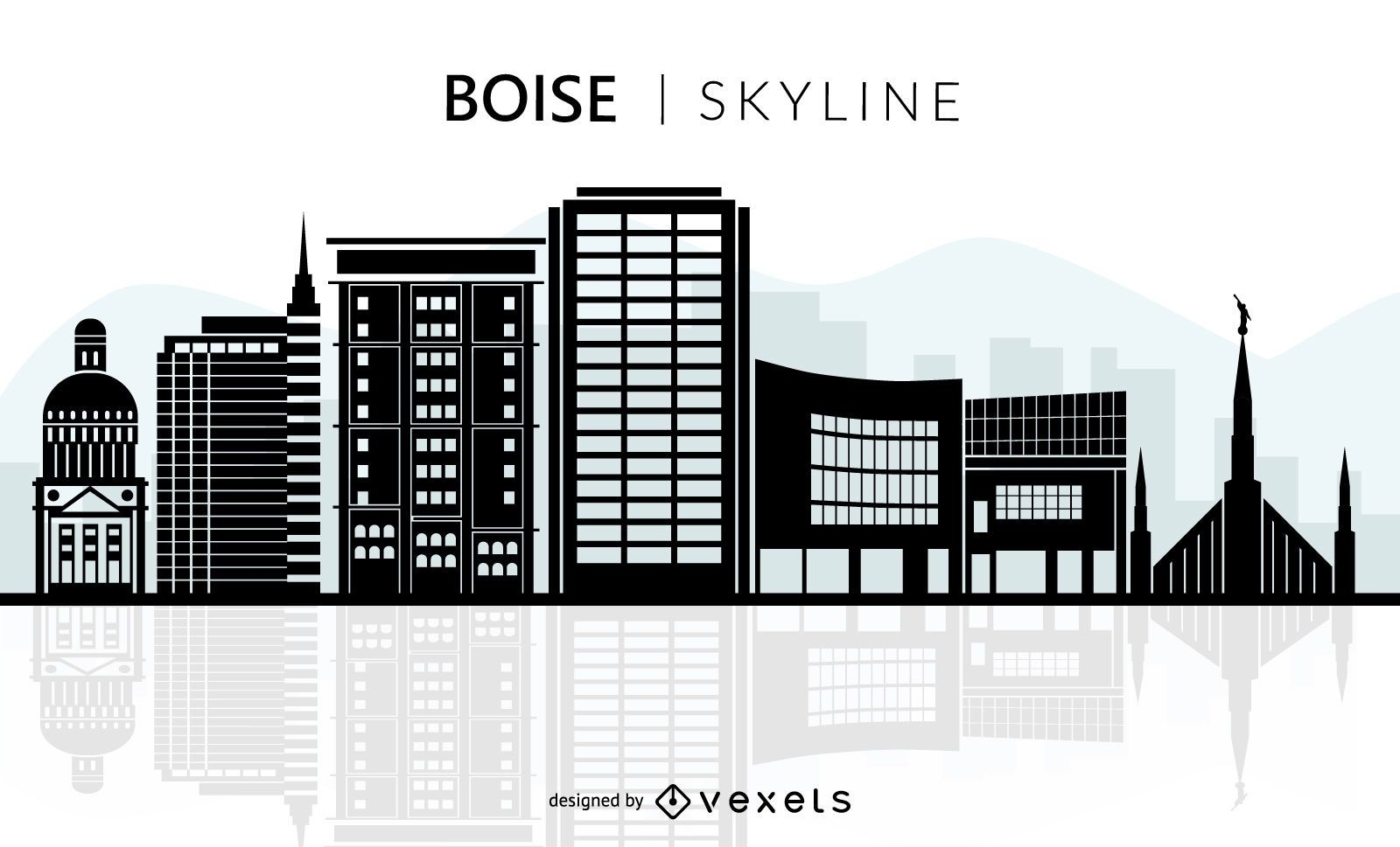
Boise skyline silhouette
Choose a folder
All favorites
Create new
Save
Boise skyline silhouette
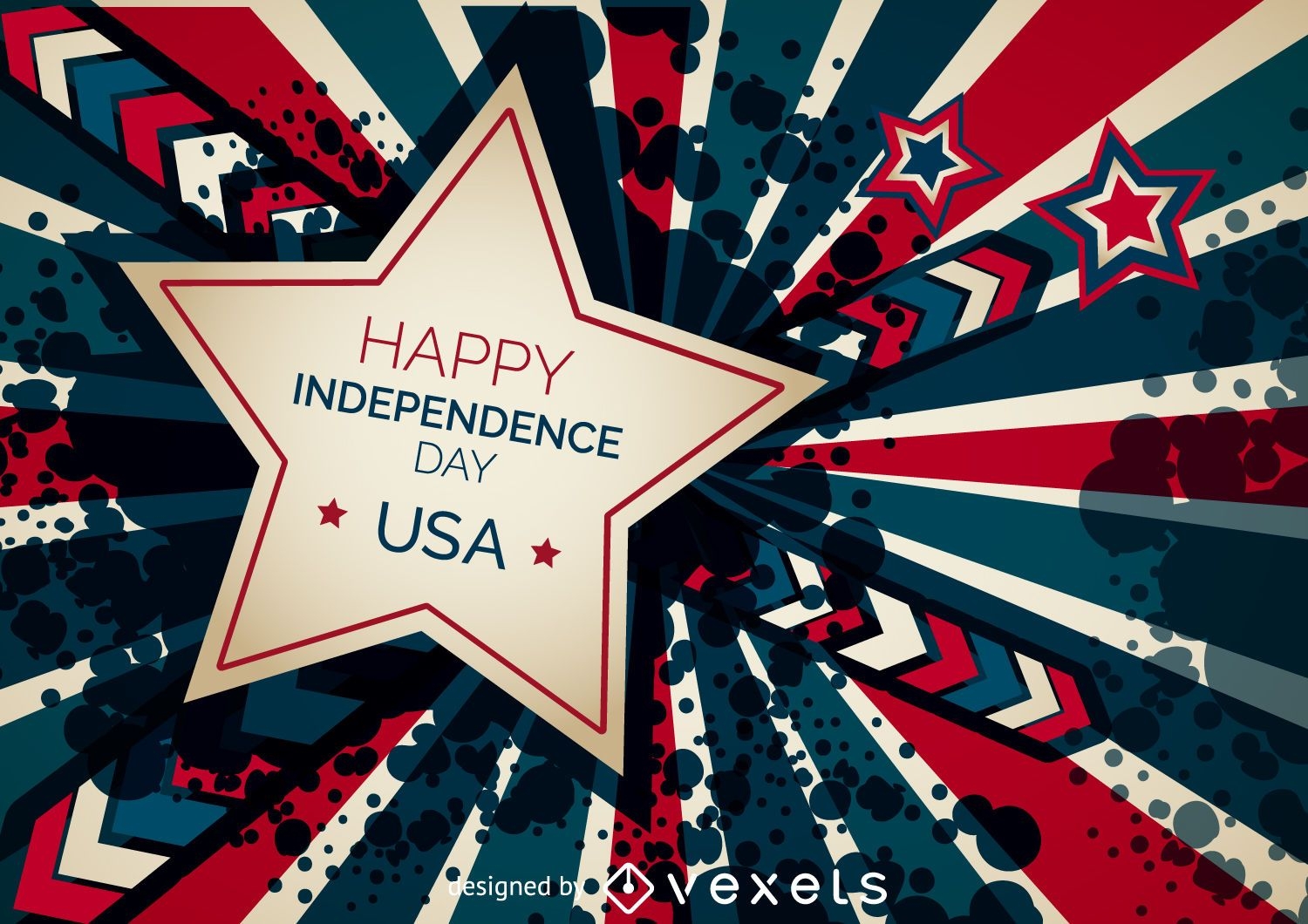
Happy Independence Day banner
Choose a folder
All favorites
Create new
Save
Happy Independence Day banner
Copa America soccer banner template
Choose a folder
All favorites
Create new
Save
Copa America soccer banner template
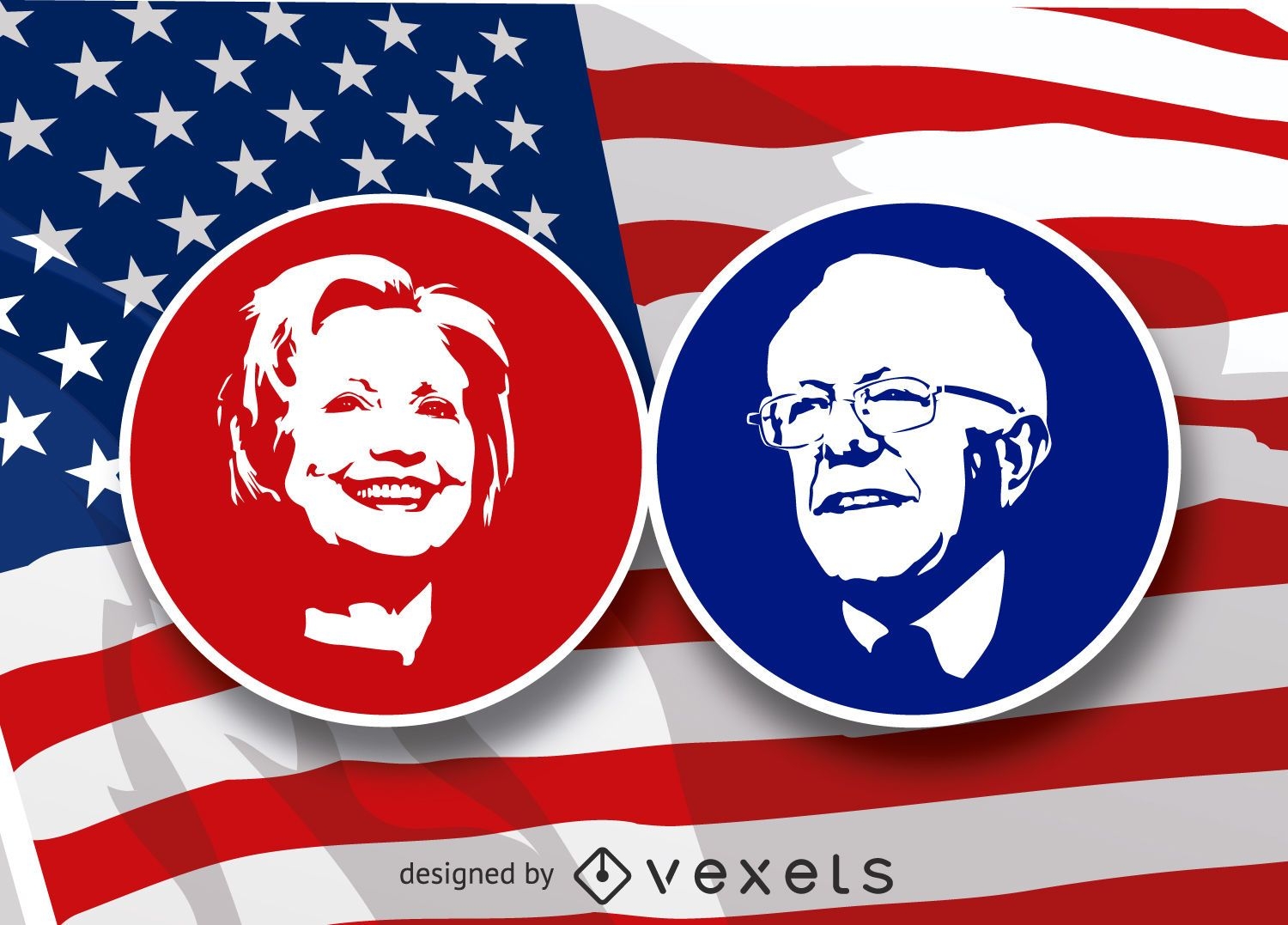
Hilary Clinton and Bernie Sanders stencil
Choose a folder
All favorites
Create new
Save
Hilary Clinton and Bernie Sanders stencil
Premium
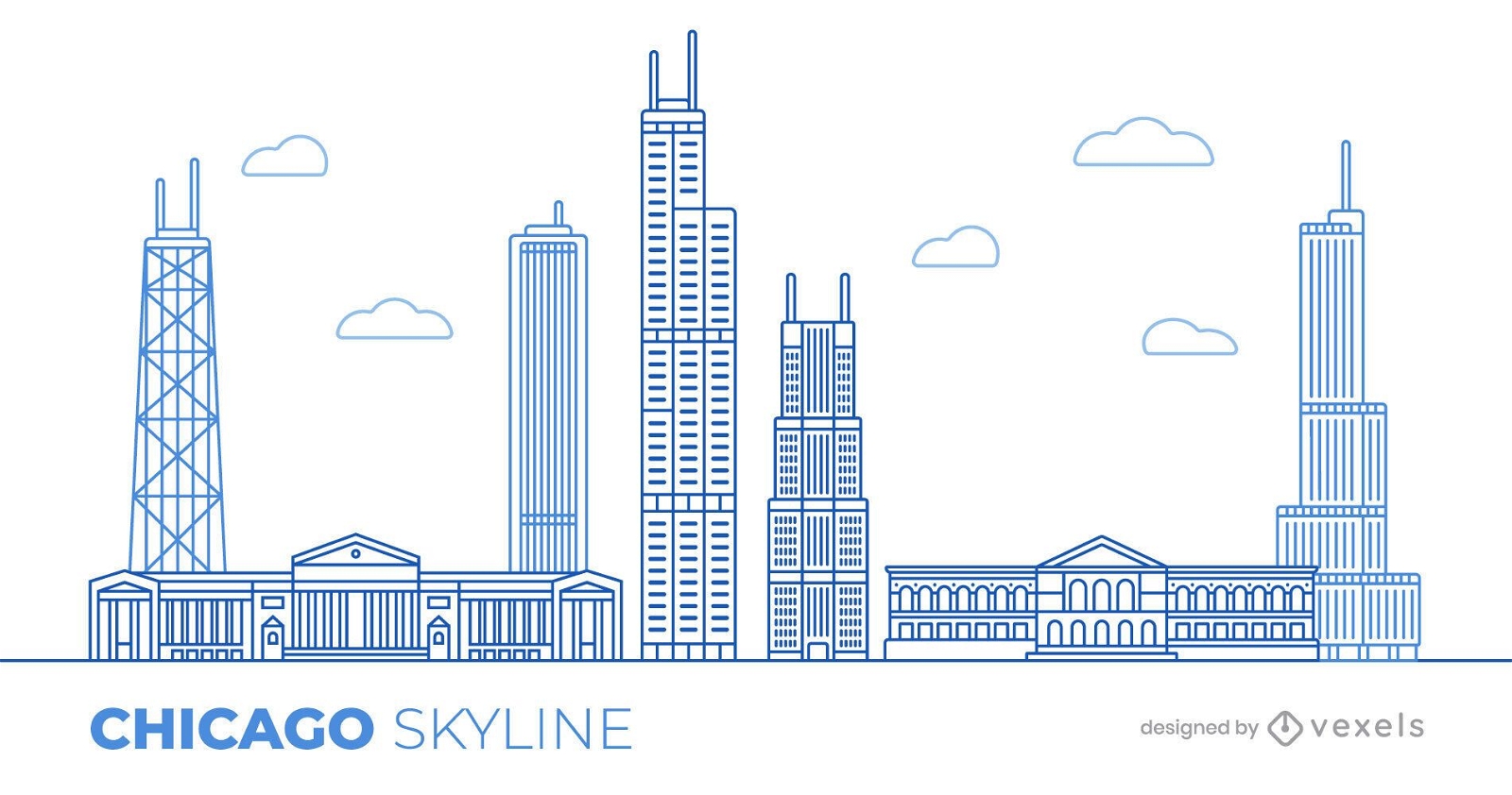
Chicago skyline illustration design
Choose a folder
All favorites
Create new
Save
Chicago skyline illustration design
Thanksgiving banners
Choose a folder
All favorites
Create new
Save
Thanksgiving banners
Premium
NYC Illustrated Icons Pack
Choose a folder
All favorites
Create new
Save
NYC Illustrated Icons Pack
Premium
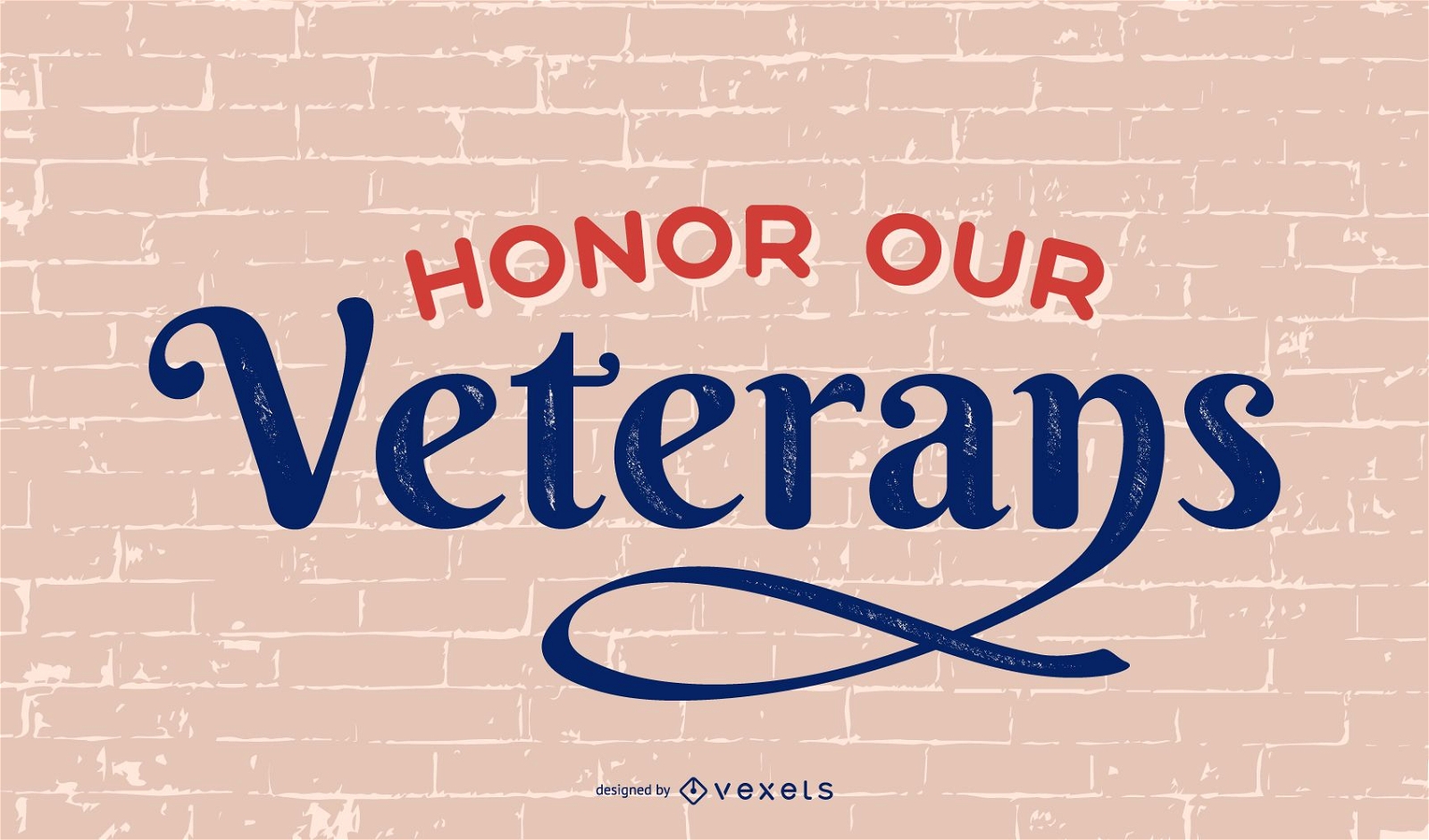
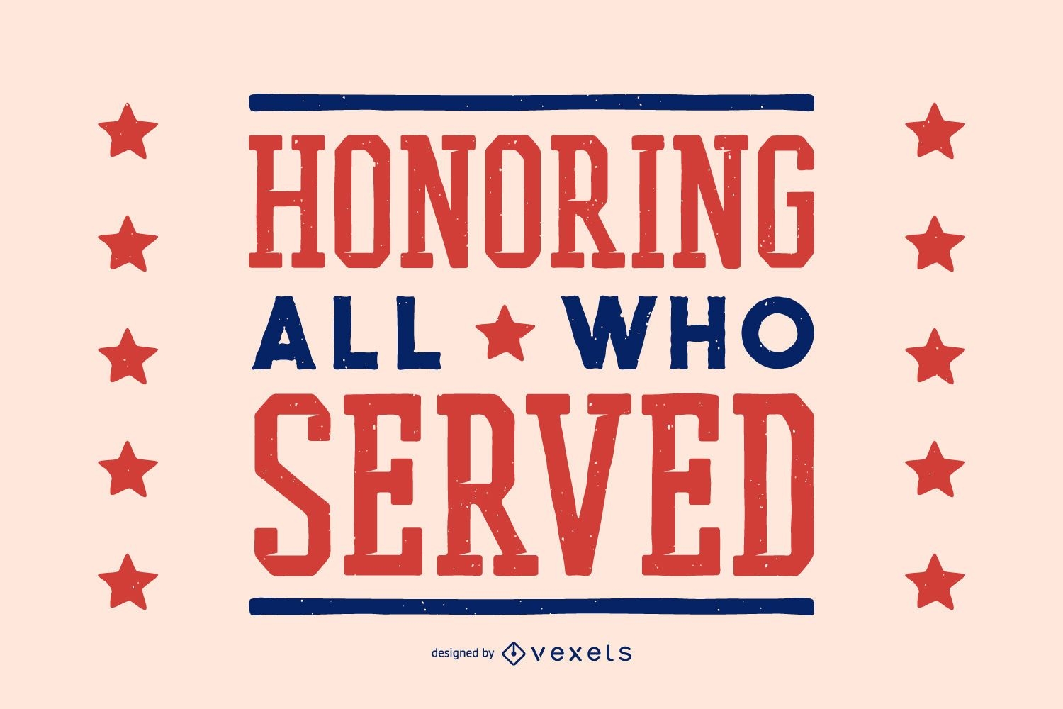
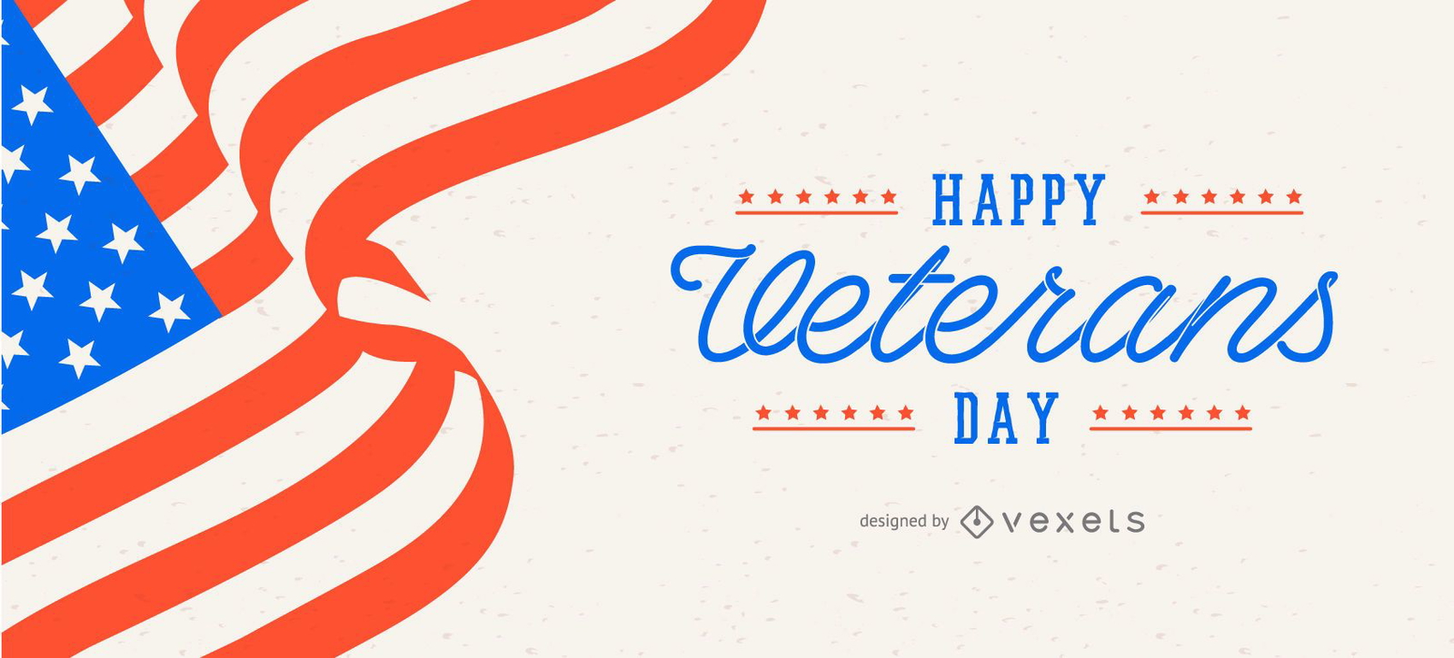
Honor our veterans lettering
Choose a folder
All favorites
Create new
Save
Honor our veterans lettering
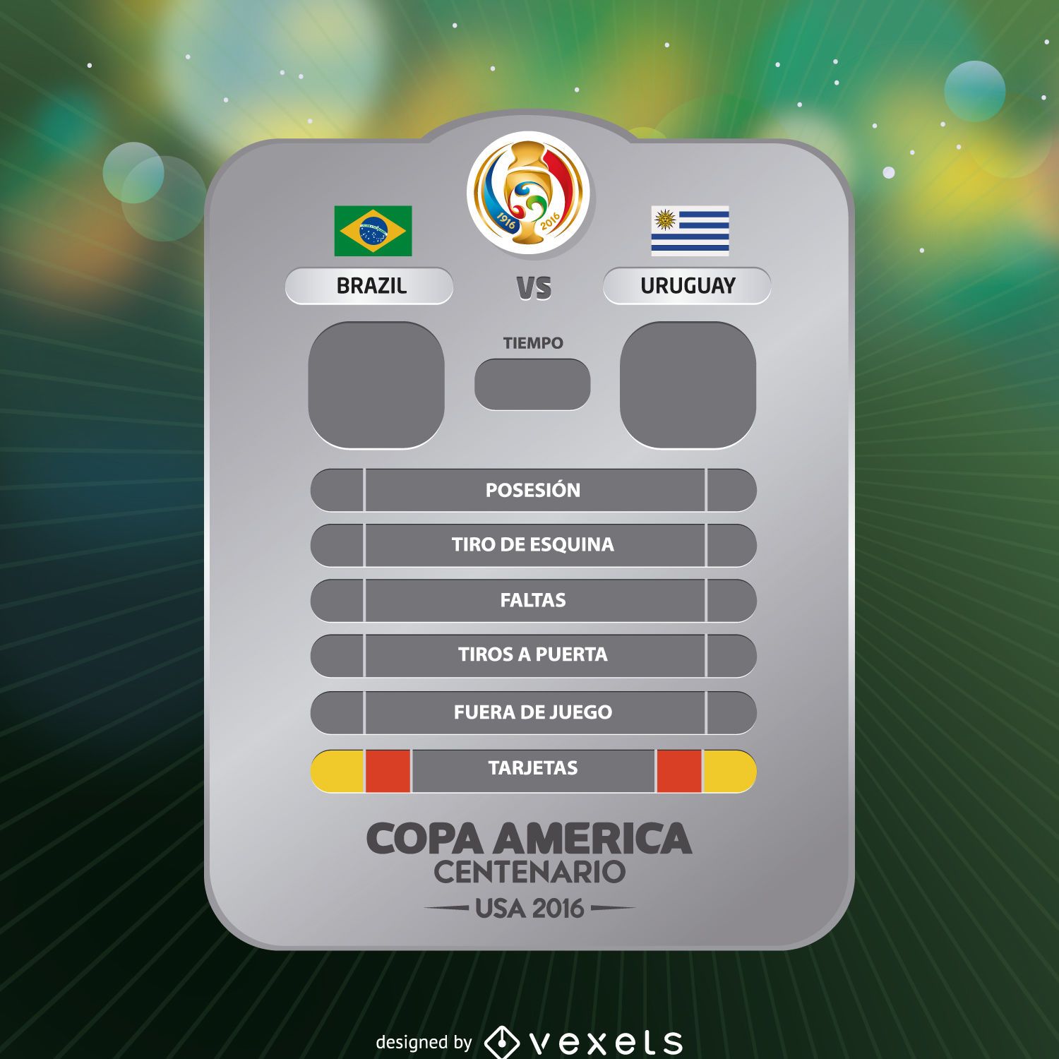
Copa America game results
Choose a folder
All favorites
Create new
Save
Copa America game results
Premium
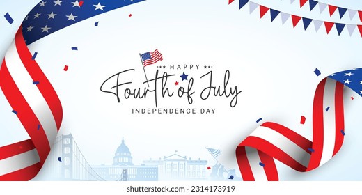
Fourth of july fireworks lettering
Choose a folder
All favorites
Create new
Save
Fourth of july fireworks lettering
Premium
Fireworks and freedom lettering
Choose a folder
All favorites
Create new
Save
Fireworks and freedom lettering
Premium
Veterans day compósitions set
Choose a folder
All favorites
Create new
Save
Veterans day compósitions set
Premium
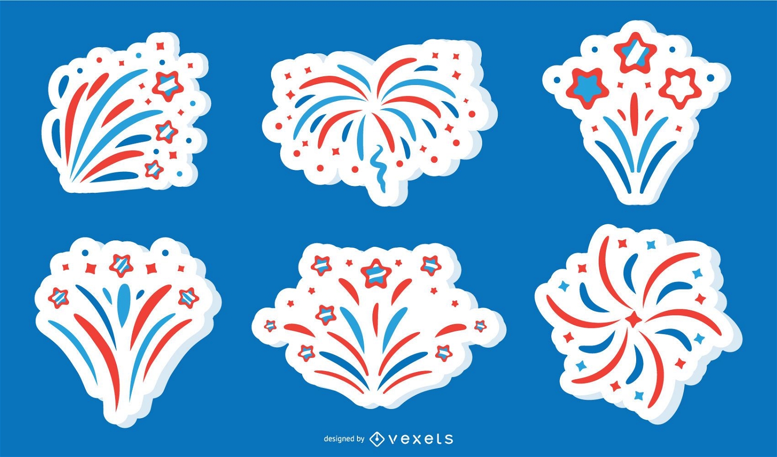
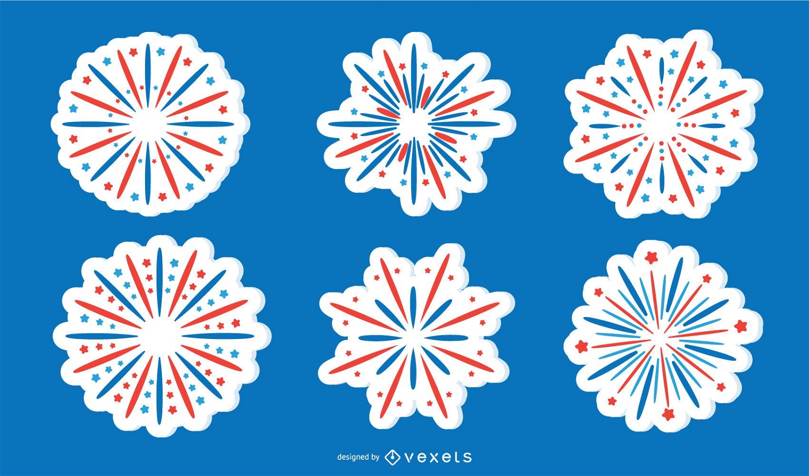
Patriotic Firework Sticker Vector Collection
Choose a folder
All favorites
Create new
Save
Patriotic Firework Sticker Vector Collection
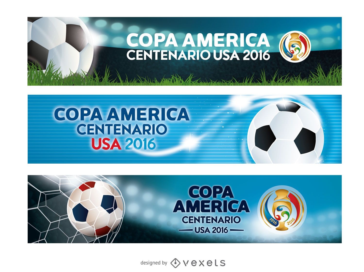
Banners Copa America USA 2016
Choose a folder
All favorites
Create new
Save
Banners Copa America USA 2016
Premium
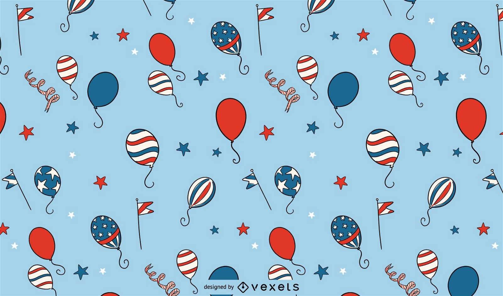
Independence day balloons pattern
Choose a folder
All favorites
Create new
Save
Independence day balloons pattern
Editable text
Premium
Veterans day usa slider design
Choose a folder
All favorites
Create new
Save
Veterans day usa slider design
Editable text
Premium
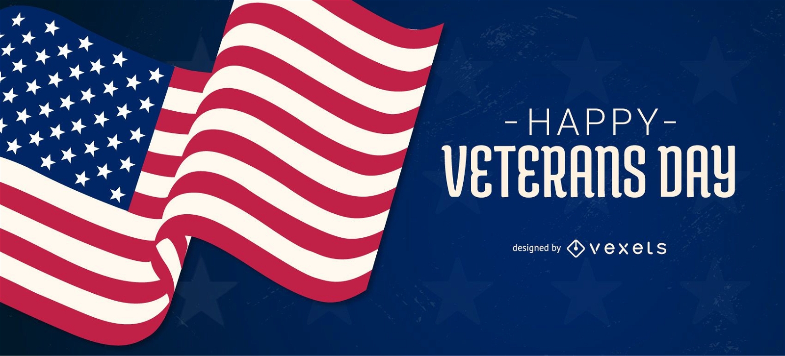
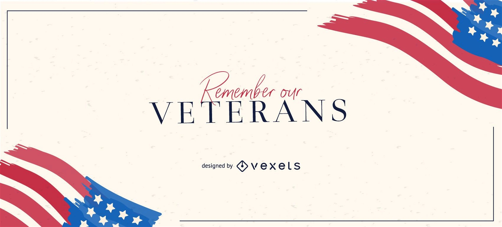
Remember our veterans slider design
Choose a folder
All favorites
Create new
Save
Remember our veterans slider design
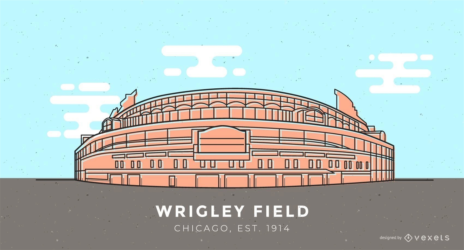
Wrigley Field baseball stadium illustration
Choose a folder
All favorites
Create new
Save
Wrigley Field baseball stadium illustration
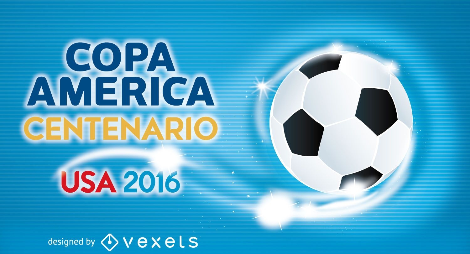
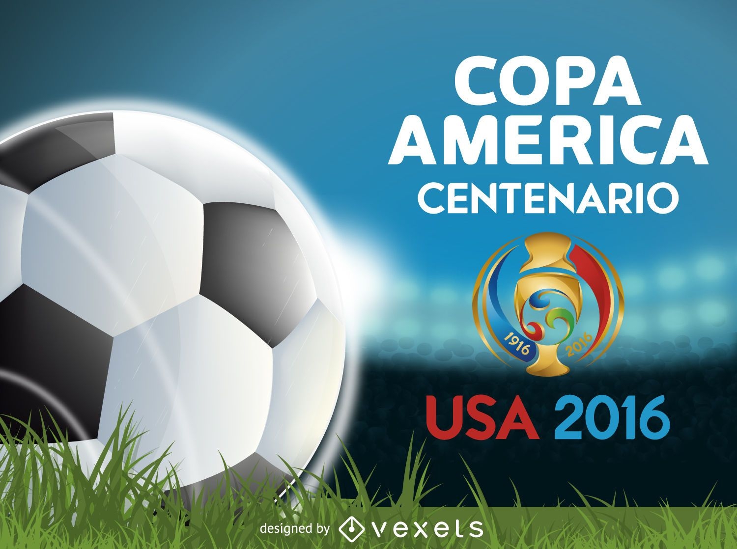
Copa America Centenario banner
Choose a folder
All favorites
Create new
Save
Copa America Centenario banner
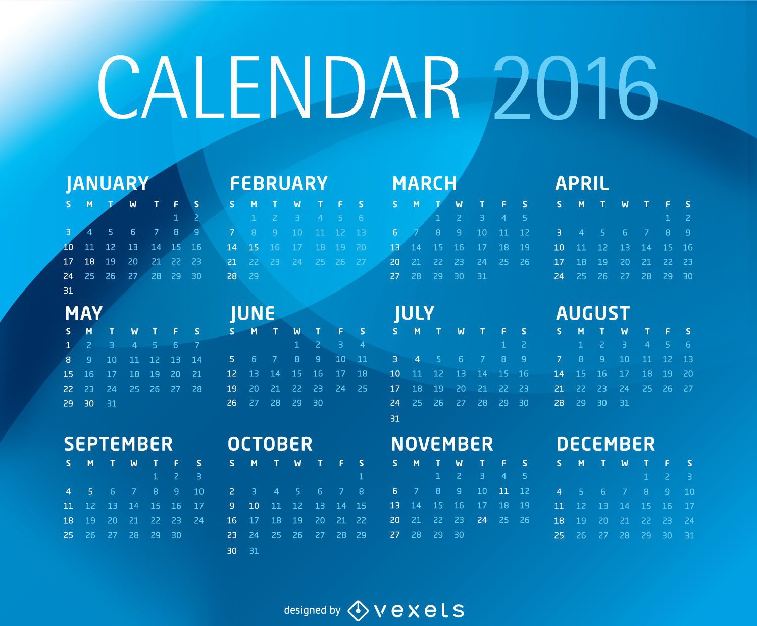
Blue 2016 calendar template
Choose a folder
All favorites
Create new
Save
Blue 2016 calendar template
Facebook Change
Choose a folder
All favorites
Create new
Save
Facebook Change
Iowa City Skyline
Choose a folder
All favorites
Create new
Save
Iowa City Skyline
USA national symbols icons pack
Choose a folder
All favorites
Create new
Save
USA national symbols icons pack
Premium
Independence day slider template
Choose a folder
All favorites
Create new
Save
Independence day slider template
Premium
I love usa lettering design
Choose a folder
All favorites
Create new
Save
I love usa lettering design
Editable text
Premium
Veterans day heroes poster template
Choose a folder
All favorites
Create new
Save
Veterans day heroes poster template
Premium
American Firework Celebration Sticker Collection
Choose a folder
All favorites
Create new
Save
American Firework Celebration Sticker Collection
Brazil 2014 Round of 16 Teams
Choose a folder
All favorites
Create new
Save
Brazil 2014 Round of 16 Teams
Premium
Happy birthday america lettering
Choose a folder
All favorites
Create new
Save
Happy birthday america lettering
Premium
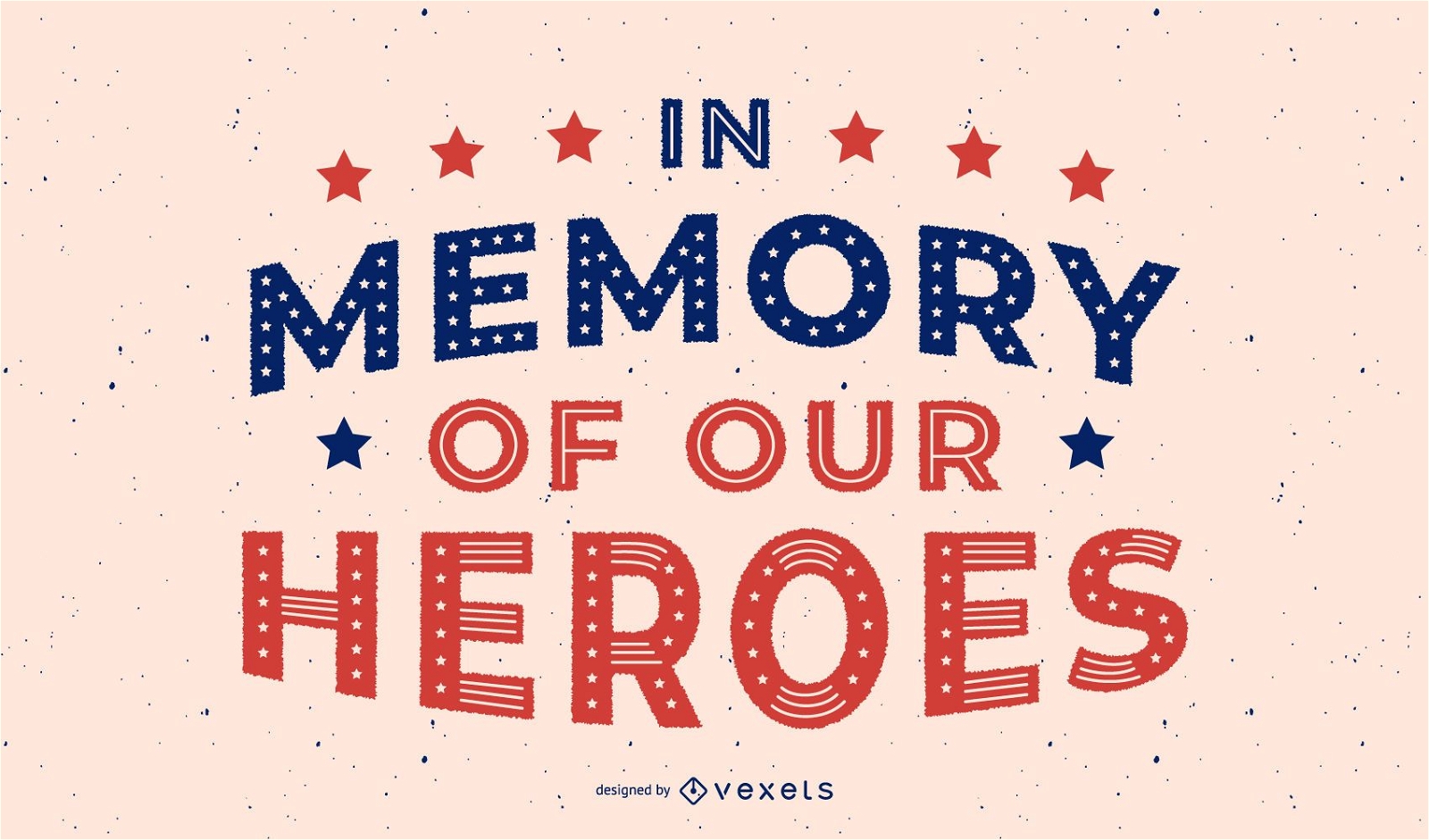
Veterans day heroes lettering design
Choose a folder
All favorites
Create new
Save
Veterans day heroes lettering design
Premium
4th of july badges pack
Choose a folder
All favorites
Create new
Save
4th of july badges pack
Premium
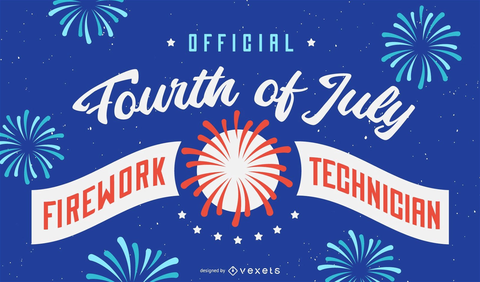
Firework technician background design
Choose a folder
All favorites
Create new
Save
Firework technician background design
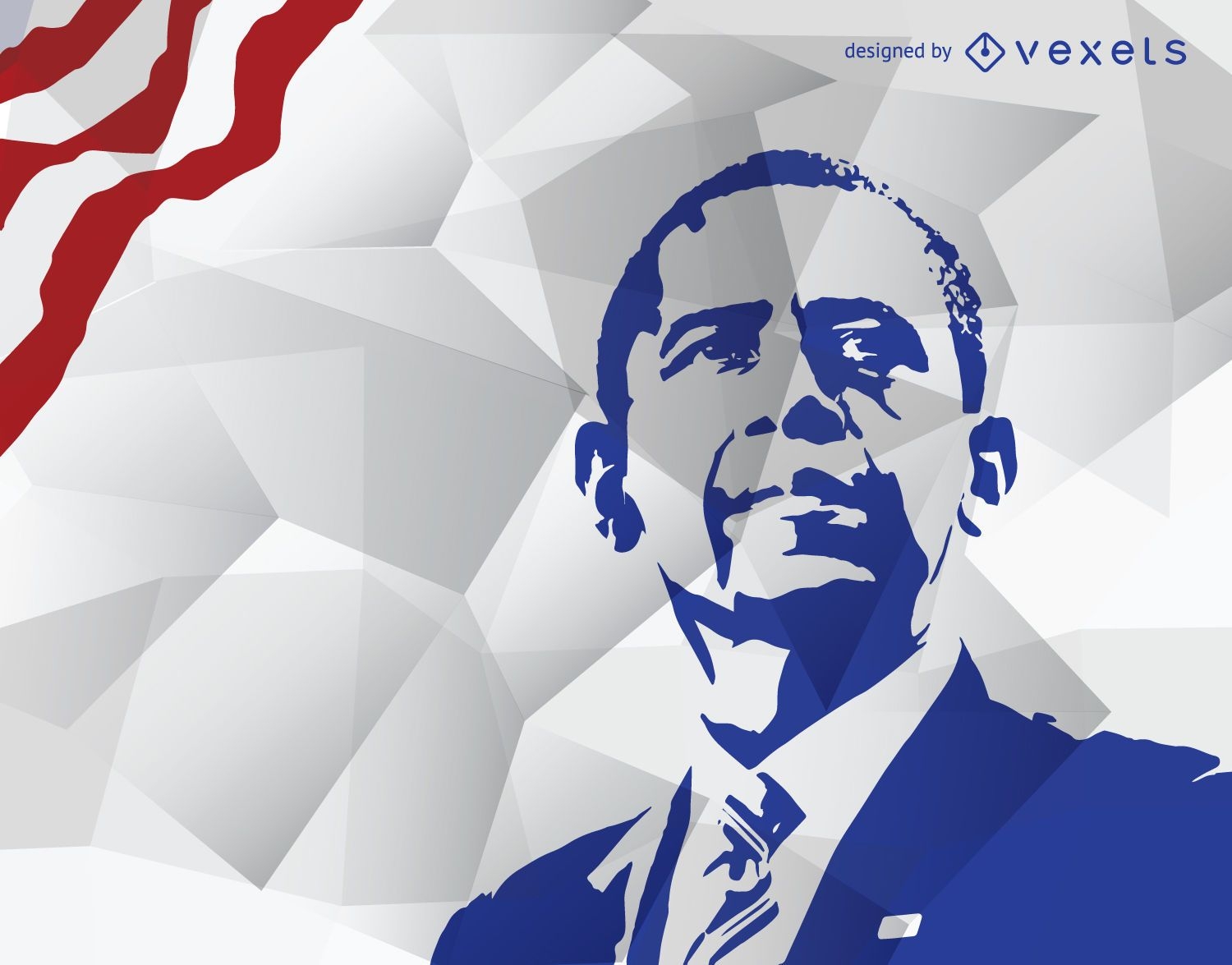
Obama's stencil in blue
Choose a folder
All favorites
Create new
Save
Obama's stencil in blue
Editable text
Premium
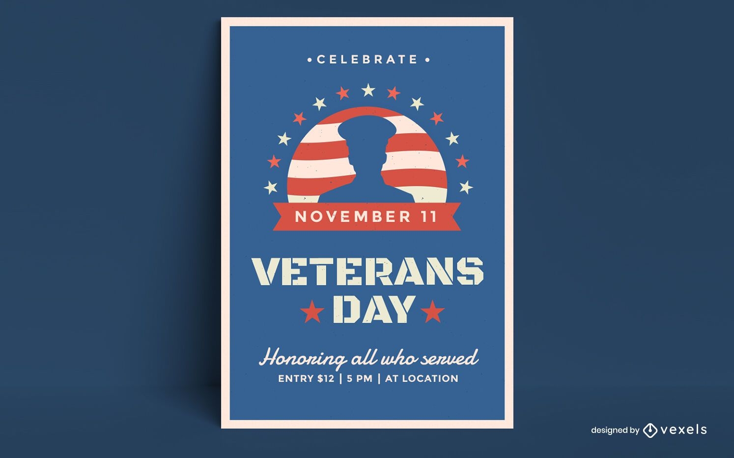
Veterans day poster design
Choose a folder
All favorites
Create new
Save
Veterans day poster design
Premium
Honoring veterans day lettering
Choose a folder
All favorites
Create new
Save
Honoring veterans day lettering
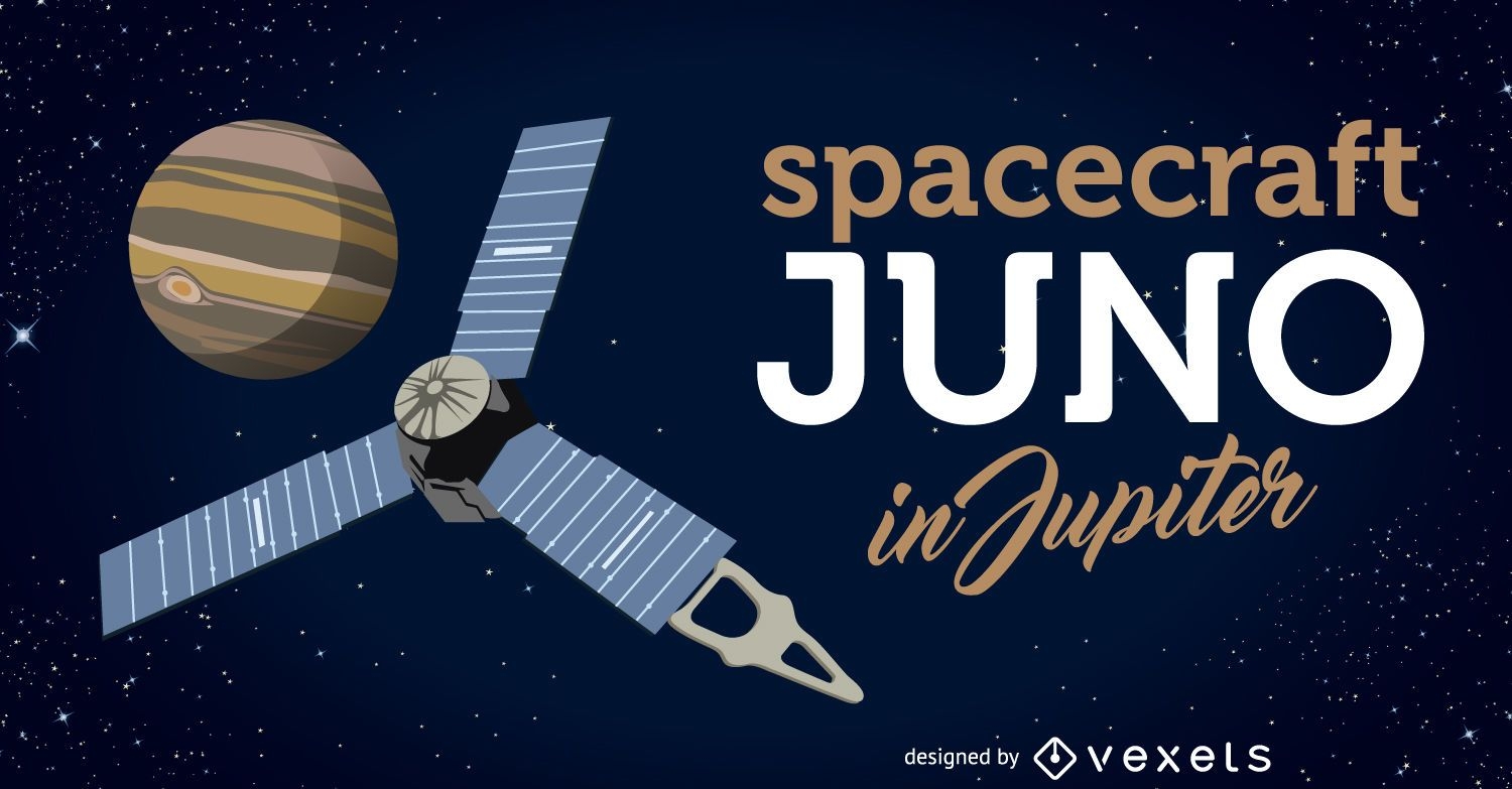
Spacecraft Juno arrives to Jupiter illustration
Choose a folder
All favorites
Create new
Save
Spacecraft Juno arrives to Jupiter illustration
Premium
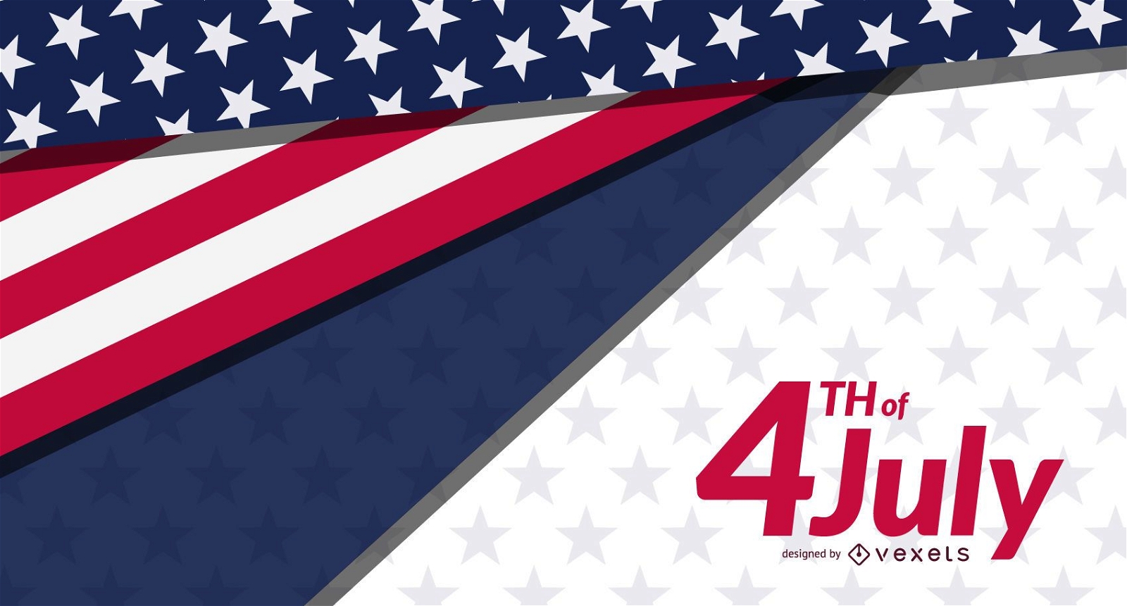
4th of July banner template
Choose a folder
All favorites
Create new
Save
4th of July banner template
Premium
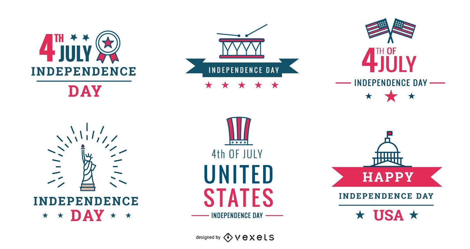
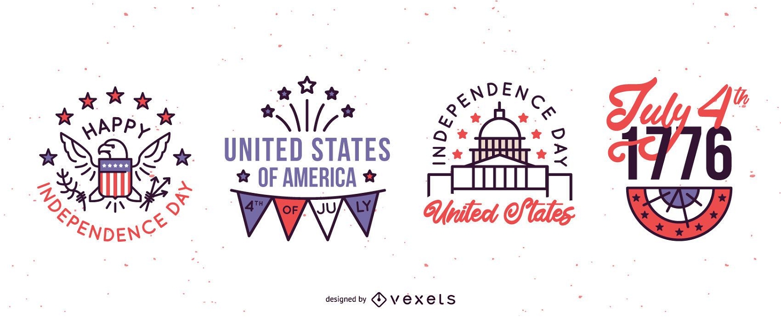
Independence day badges set
Choose a folder
All favorites
Create new
Save
Independence day badges set
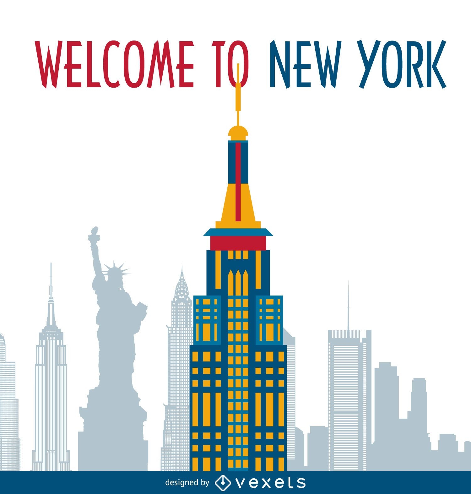
New York postcard
Choose a folder
All favorites
Create new
Save
New York postcard
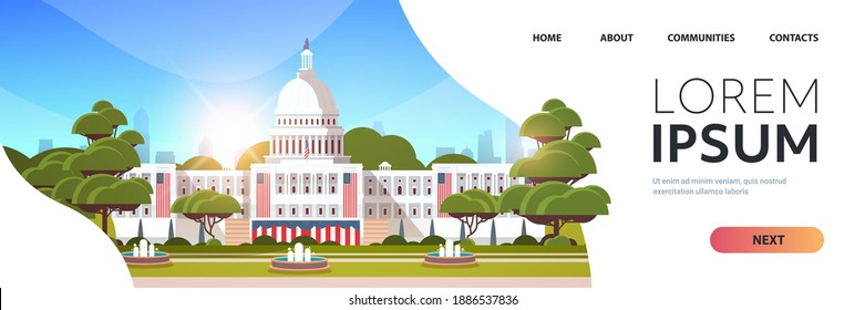
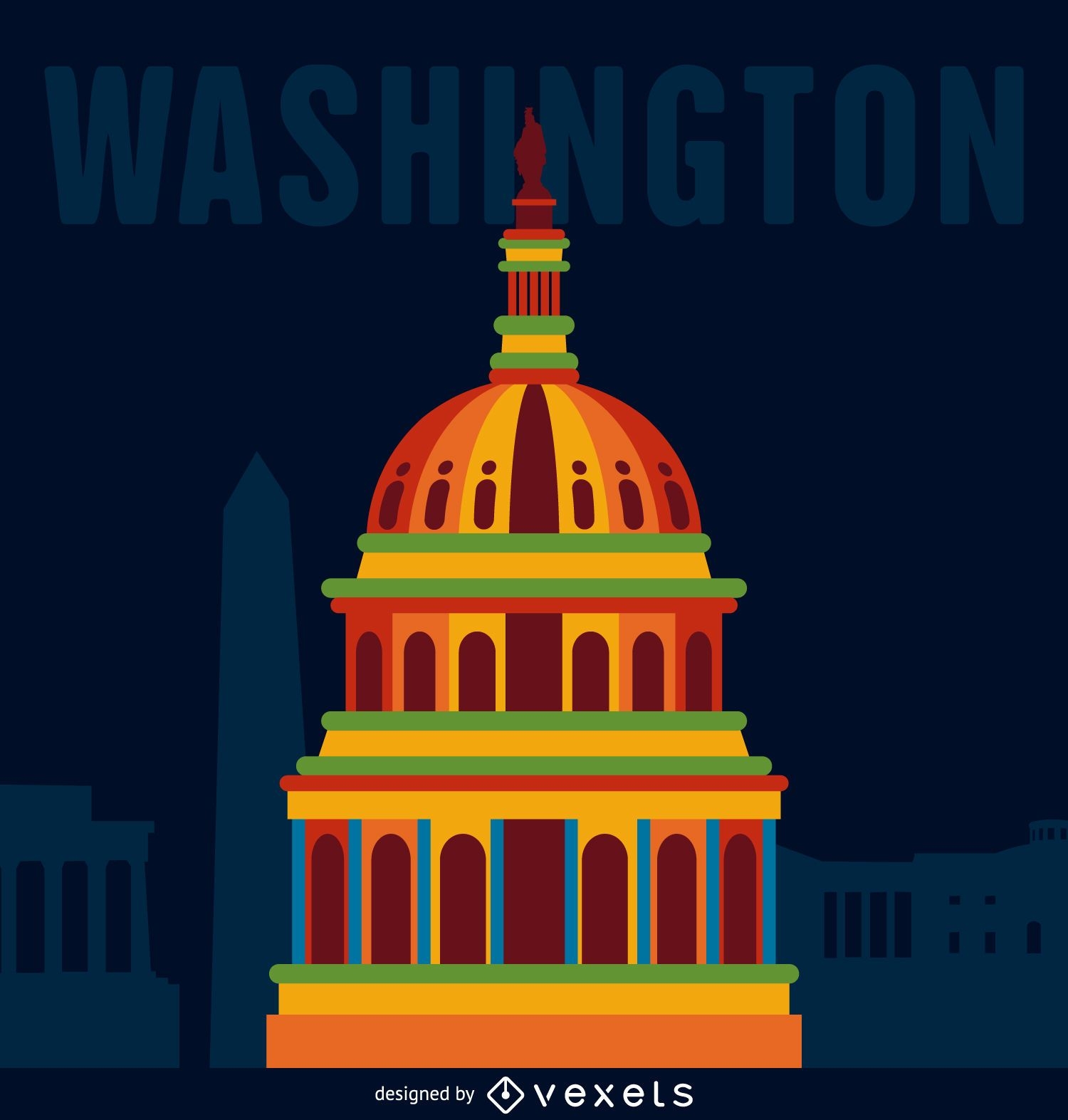
Washington travel illustration
Choose a folder
All favorites
Create new
Save
Washington travel illustration
Premium
Happy labor day jobs illustration
Choose a folder
All favorites
Create new
Save
Happy labor day jobs illustration
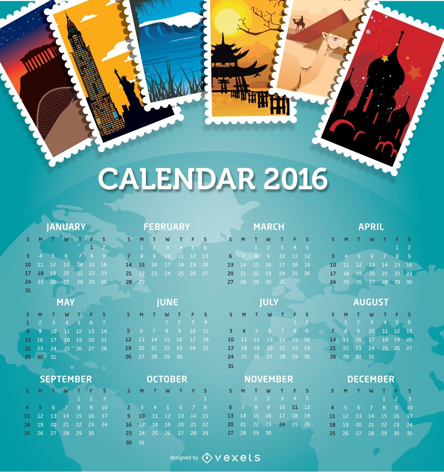
2016 calendar travel destinations
Choose a folder
All favorites
Create new
Save
2016 calendar travel destinations
Editable text
Premium
Veterans day holiday badge set
Choose a folder
All favorites
Create new
Save
Veterans day holiday badge set
Premium
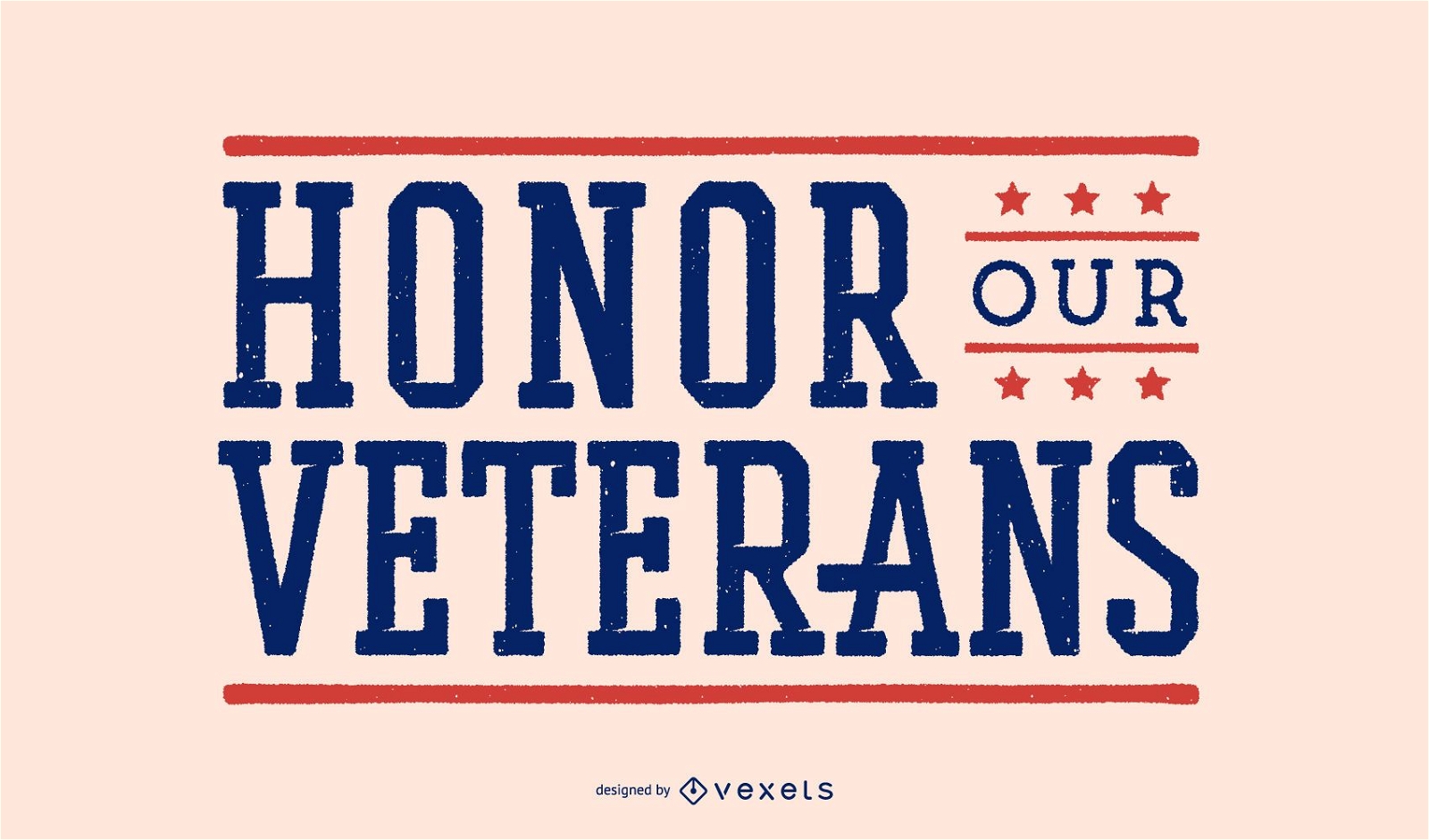
Honor our veterans lettering design
Choose a folder
All favorites
Create new
Save
Honor our veterans lettering design
Premium
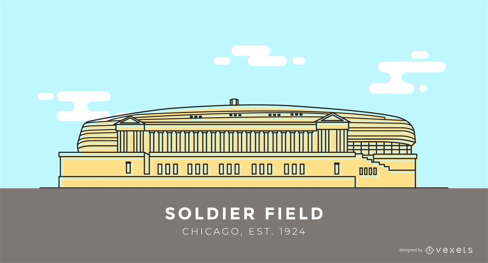
Soldier Field stadium cartoon
Choose a folder
All favorites
Create new
Save
Soldier Field stadium cartoon
Premium
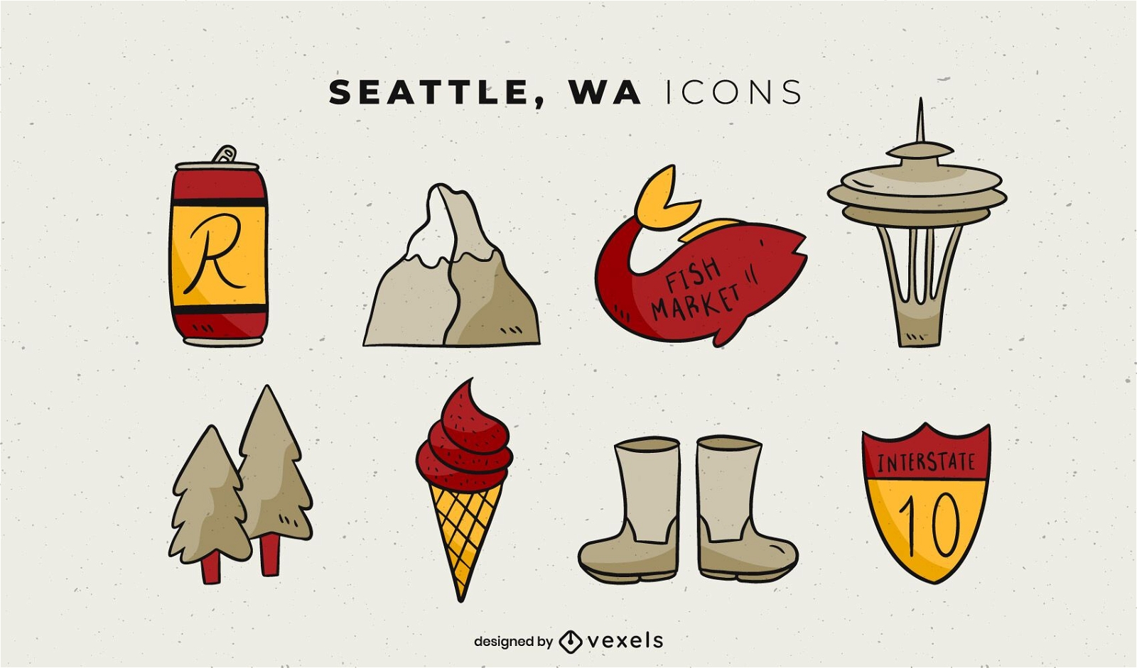
Seattle Illustrated Elements Pack
Choose a folder
All favorites
Create new
Save
Seattle Illustrated Elements Pack
Editable text
Premium
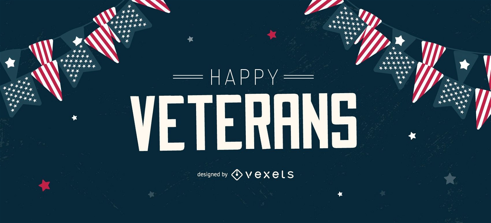
Happy veterans editable slider design
Choose a folder
All favorites
Create new
Save
Happy veterans editable slider design
Premium
Patriotic Firework Sticker Collection
Choose a folder
All favorites
Create new
Save
Patriotic Firework Sticker Collection
Editable text
Premium
Veterans day slider template
Choose a folder
All favorites
Create new
Save
Veterans day slider template
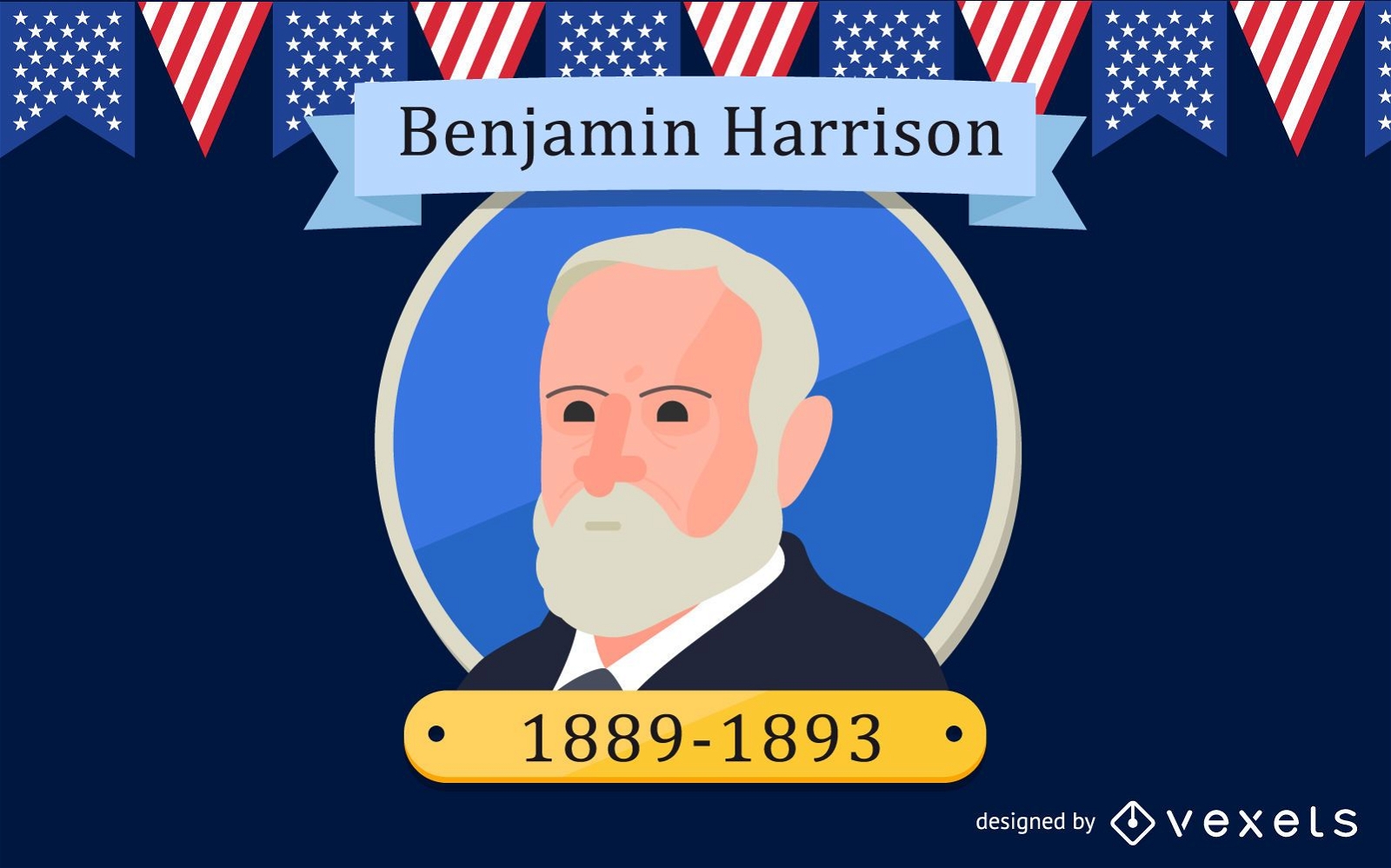
President Benjamin Harrison Design
Choose a folder
All favorites
Create new
Save
President Benjamin Harrison Design
Subscribe
To Get High-Quality Commercial Use Designs For Your Business
SEE PLANS
Next
of 19
prev page
next page