Design Library
Explore Designs
New Merch Designs
Trending Merch Designs
Vectors
PNGs & SVGs
Mockups
T-Shirts
T-Shirt PSD Templates
KDP Designs
Phone Cases
Pillows
Tote Bags
Posters
Mugs
Design Tools
Designer
New!
T-shirt Maker
Mockup Generator
Quote Generator
Logo Maker
Resources
Merch Digest
Blog
Help Center
Creators Program
Learn About Merch
Changelog
Pricing
Loading...
Sign Up
Login
All
map
Design Library
Explore Designs
New Merch Designs
Trending Merch Designs
Vectors
PNGs & SVGs
Mockups
T-Shirts
T-Shirt PSD Templates
KDP Designs
Phone Cases
Pillows
Tote Bags
Posters
Mugs
Design Tools
Designer
New!
T-shirt Maker
Mockup Generator
Quote Generator
Logo Maker
Resources
Merch Digest
Blog
Help Center
Creators Program
Learn About Merch
Changelog
PLANS
All
map
1752 map Graphics and Designs
Map Graphics to download
Related:
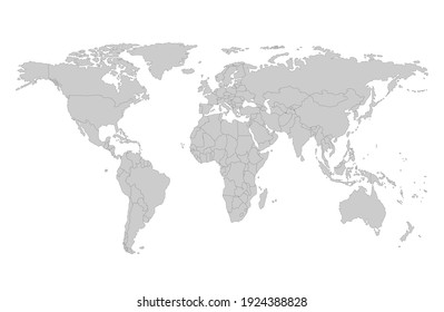
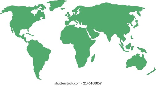
world map
,
map silhouette
Sort by
Most relevant
Sponsored results by
Get 15% off with code: VEXELS15
Show more
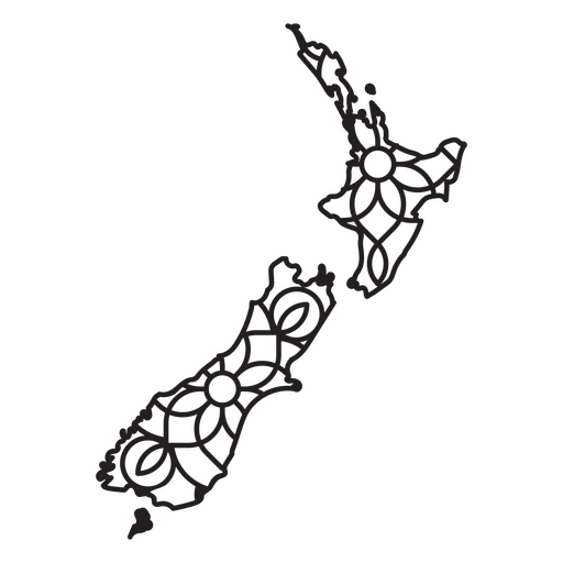
New Zealand Mandala Map PNG Design
Choose a folder
All favorites
Create new
Save
New Zealand Mandala Map PNG Design
Premium
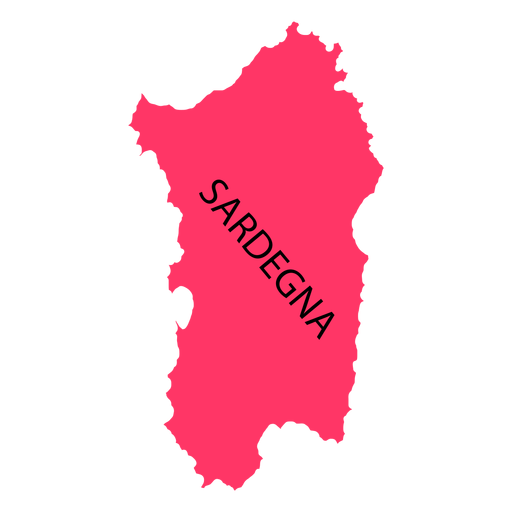
Sardinia region map PNG Design
Choose a folder
All favorites
Create new
Save
Sardinia region map PNG Design
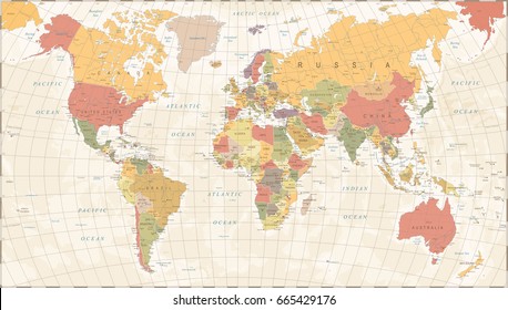
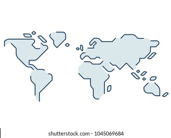
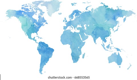
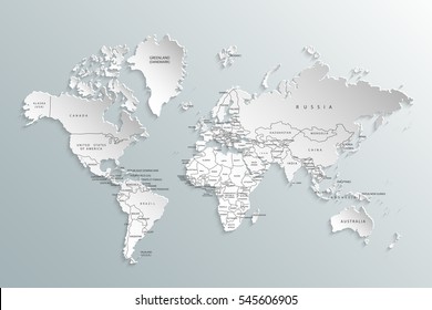
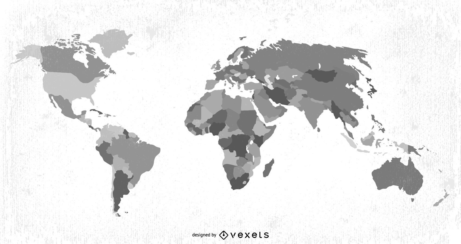
Earth Map Vector
Choose a folder
All favorites
Create new
Save
Earth Map Vector
Premium
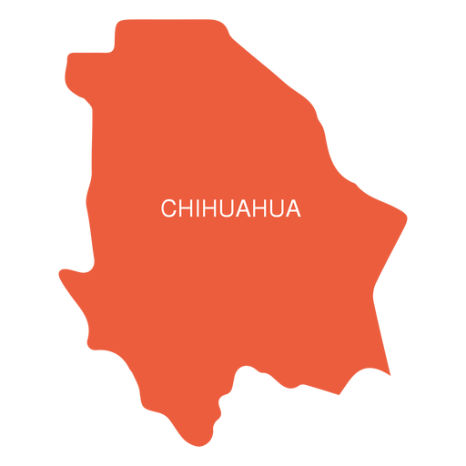
Chihuahua state map PNG Design
Choose a folder
All favorites
Create new
Save
Chihuahua state map PNG Design
Premium
Kerala state map PNG Design
Choose a folder
All favorites
Create new
Save
Kerala state map PNG Design
Premium
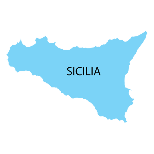
Sicily region map PNG Design
Choose a folder
All favorites
Create new
Save
Sicily region map PNG Design
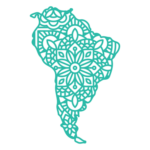
Mandala South America Map PNG Design
Choose a folder
All favorites
Create new
Save
Mandala South America Map PNG Design
Mississippi map color stroke PNG Design
Choose a folder
All favorites
Create new
Save
Mississippi map color stroke PNG Design
Premium
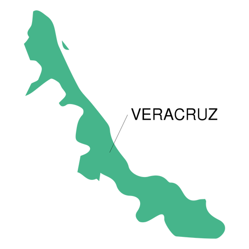
Veracruz state map PNG Design
Choose a folder
All favorites
Create new
Save
Veracruz state map PNG Design
Premium
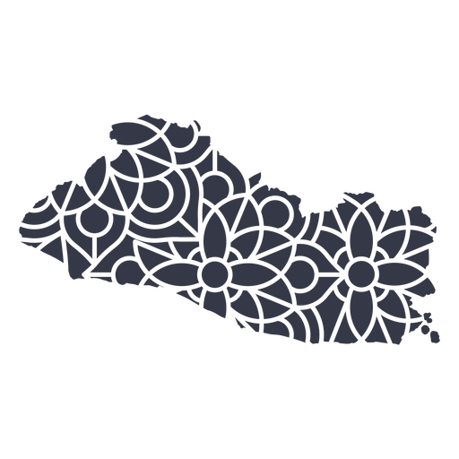
El Salvador's mandala map PNG Design
Choose a folder
All favorites
Create new
Save
El Salvador's mandala map PNG Design
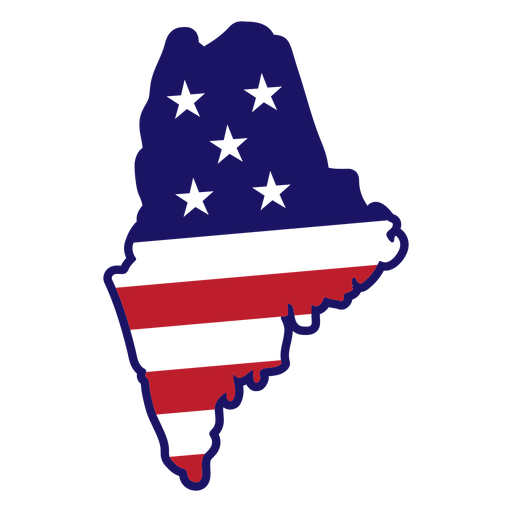
Maine map color stroke PNG Design
Choose a folder
All favorites
Create new
Save
Maine map color stroke PNG Design
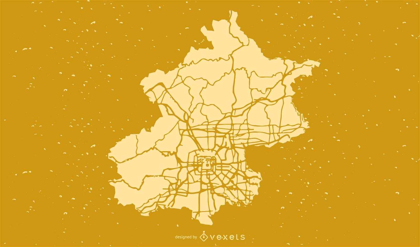
Beijing City Map Vector
Choose a folder
All favorites
Create new
Save
Beijing City Map Vector
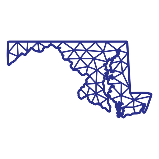
Maryland map polygonal PNG Design
Choose a folder
All favorites
Create new
Save
Maryland map polygonal PNG Design
Premium
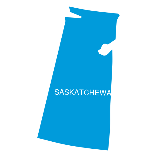
Saskatchewan province map PNG Design
Choose a folder
All favorites
Create new
Save
Saskatchewan province map PNG Design
Premium
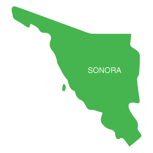
Sonora state map PNG Design
Choose a folder
All favorites
Create new
Save
Sonora state map PNG Design
Premium
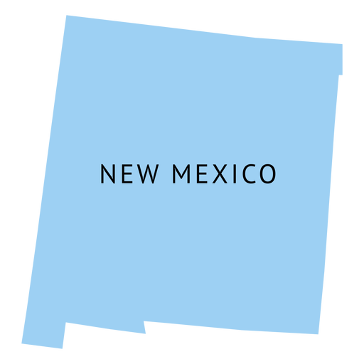
New mexico state plain map PNG Design
Choose a folder
All favorites
Create new
Save
New mexico state plain map PNG Design
Premium
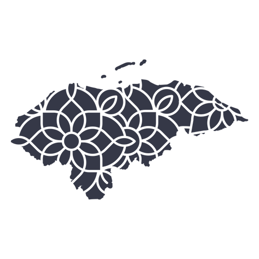
Honduras' mandala map PNG Design
Choose a folder
All favorites
Create new
Save
Honduras' mandala map PNG Design
Premium
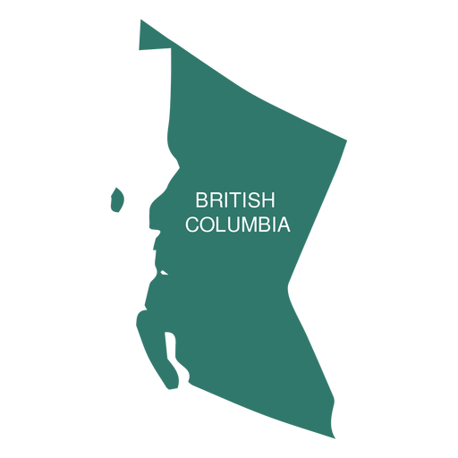
British columbia province map PNG Design
Choose a folder
All favorites
Create new
Save
British columbia province map PNG Design
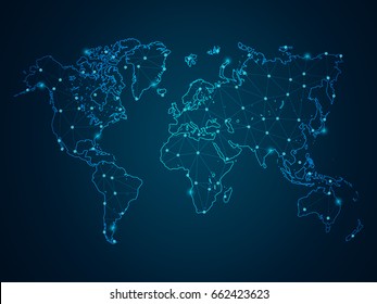
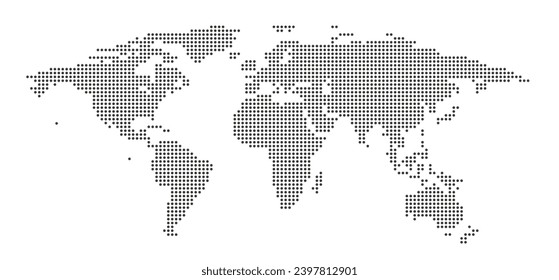
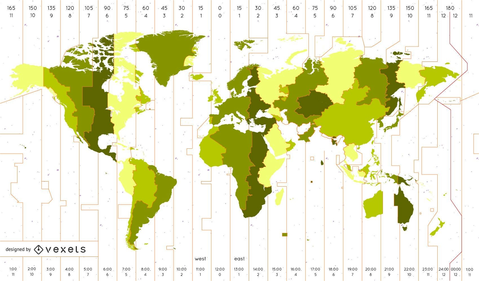
World Time Zone Map Identifies The Vector
Choose a folder
All favorites
Create new
Save
World Time Zone Map Identifies The Vector
Premium
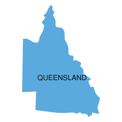
Queensland state map PNG Design
Choose a folder
All favorites
Create new
Save
Queensland state map PNG Design
A silhouette of the map of Sweden PNG Design
Choose a folder
All favorites
Create new
Save
A silhouette of the map of Sweden PNG Design
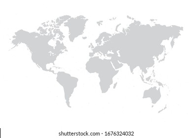
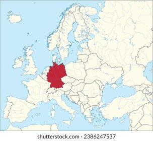
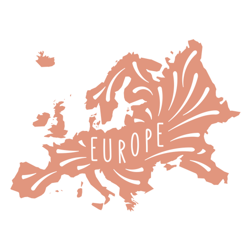
European Continent Map PNG Design
Choose a folder
All favorites
Create new
Save
European Continent Map PNG Design
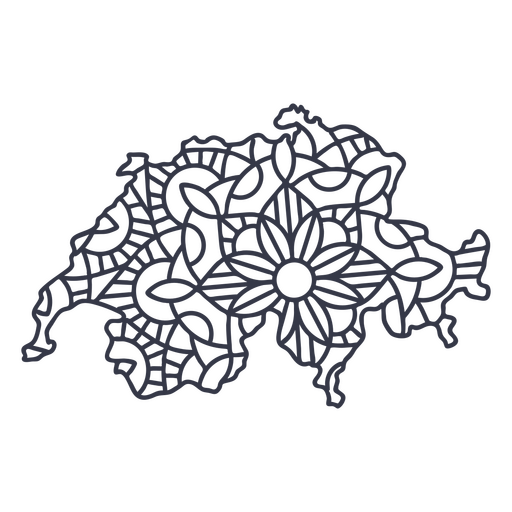
Switzerland map silhouette mandala stroke PNG Design
Choose a folder
All favorites
Create new
Save
Switzerland map silhouette mandala stroke PNG Design
Premium
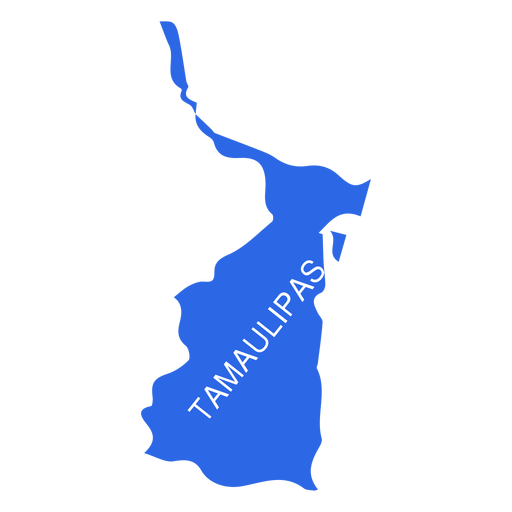
Tamaulipas state map PNG Design
Choose a folder
All favorites
Create new
Save
Tamaulipas state map PNG Design
Premium
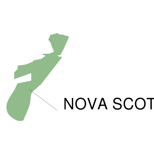
Nova scotia province map PNG Design
Choose a folder
All favorites
Create new
Save
Nova scotia province map PNG Design
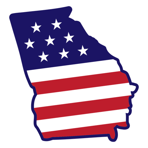
Georgia state map color stroke PNG Design
Choose a folder
All favorites
Create new
Save
Georgia state map color stroke PNG Design
Premium
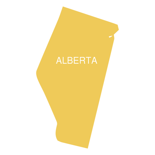
Alberta province map PNG Design
Choose a folder
All favorites
Create new
Save
Alberta province map PNG Design
Premium
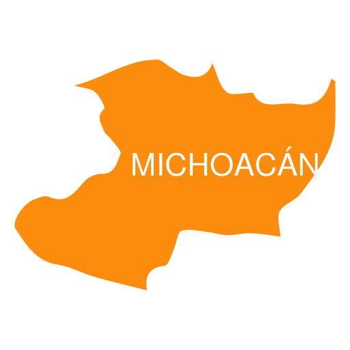
Michoacan de ocampa state map PNG Design
Choose a folder
All favorites
Create new
Save
Michoacan de ocampa state map PNG Design
Premium
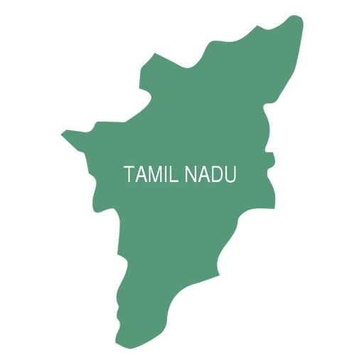
Tamil nadu state map PNG Design
Choose a folder
All favorites
Create new
Save
Tamil nadu state map PNG Design
Premium
Guanajuato state map PNG Design
Choose a folder
All favorites
Create new
Save
Guanajuato state map PNG Design
Premium
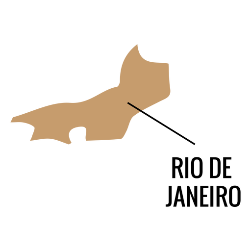
Rio de janeiro state map PNG Design
Choose a folder
All favorites
Create new
Save
Rio de janeiro state map PNG Design
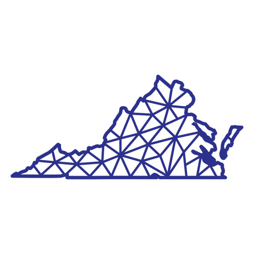
Virginia map polygonal PNG Design
Choose a folder
All favorites
Create new
Save
Virginia map polygonal PNG Design
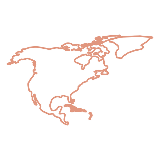
North America Stroke Map PNG Design
Choose a folder
All favorites
Create new
Save
North America Stroke Map PNG Design
Premium
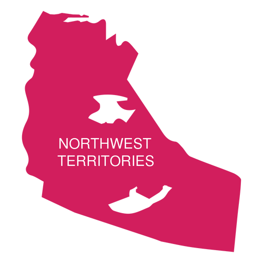
Northwest territories territory map PNG Design
Choose a folder
All favorites
Create new
Save
Northwest territories territory map PNG Design
Premium
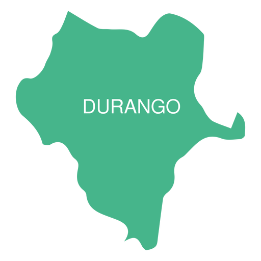
Durango state map PNG Design
Choose a folder
All favorites
Create new
Save
Durango state map PNG Design
Premium
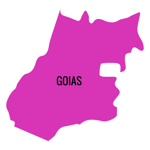
Goias state map PNG Design
Choose a folder
All favorites
Create new
Save
Goias state map PNG Design
Premium
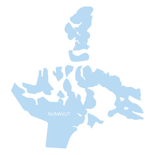
Nunavut territory map PNG Design
Choose a folder
All favorites
Create new
Save
Nunavut territory map PNG Design
Premium
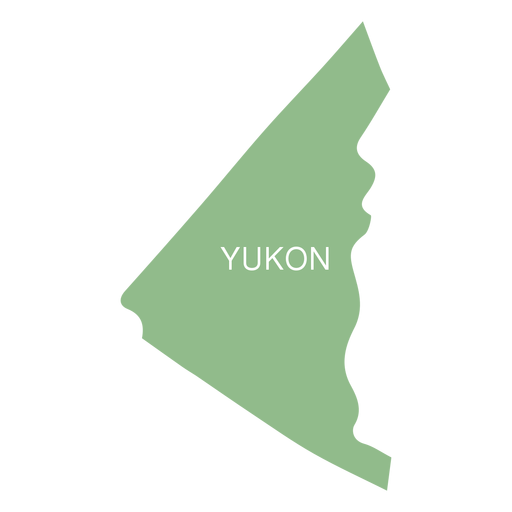
Yukon territory map PNG Design
Choose a folder
All favorites
Create new
Save
Yukon territory map PNG Design
Premium
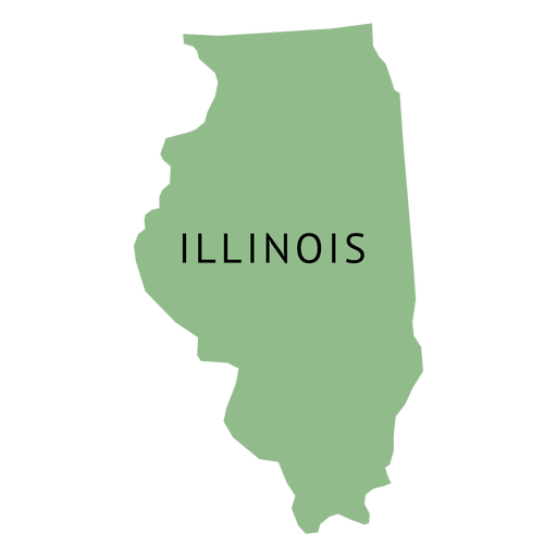
Illionois state plain map PNG Design
Choose a folder
All favorites
Create new
Save
Illionois state plain map PNG Design
A silhouette of the map of Iceland PNG Design
Choose a folder
All favorites
Create new
Save
A silhouette of the map of Iceland PNG Design
Kentucky usa map stroke PNG Design
Choose a folder
All favorites
Create new
Save
Kentucky usa map stroke PNG Design
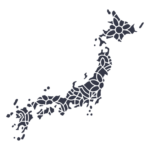
Japan map silhouette mandala cut out PNG Design
Choose a folder
All favorites
Create new
Save
Japan map silhouette mandala cut out PNG Design
Premium
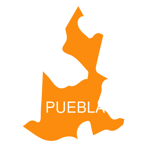
Puebla state map PNG Design
Choose a folder
All favorites
Create new
Save
Puebla state map PNG Design
Premium
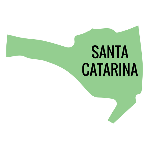
Santa catarina state map PNG Design
Choose a folder
All favorites
Create new
Save
Santa catarina state map PNG Design
Premium
Oaxaca state map PNG Design
Choose a folder
All favorites
Create new
Save
Oaxaca state map PNG Design
Premium
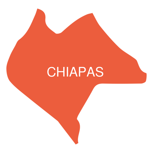
Chiapas state map PNG Design
Choose a folder
All favorites
Create new
Save
Chiapas state map PNG Design
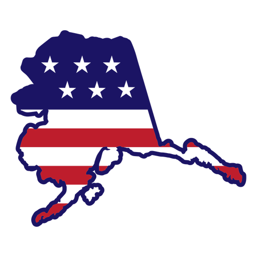
Alaska map color stroke PNG Design
Choose a folder
All favorites
Create new
Save
Alaska map color stroke PNG Design
Premium
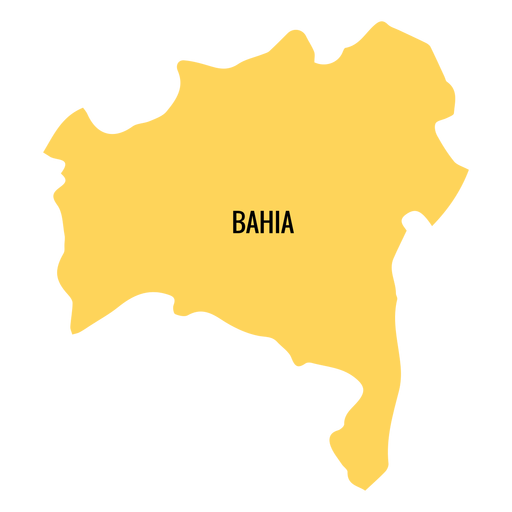
Bahia state map PNG Design
Choose a folder
All favorites
Create new
Save
Bahia state map PNG Design
Premium
Queretaro de arteaga state map PNG Design
Choose a folder
All favorites
Create new
Save
Queretaro de arteaga state map PNG Design
North america stroke continents map PNG Design
Choose a folder
All favorites
Create new
Save
North america stroke continents map PNG Design
Boost Your Business
With The Leading Graphic Platform For Merch.
SEE PLANS
Next
of 36
prev page
next page