Design Library
Explore Designs
New Merch Designs
Trending Merch Designs
Vectors
PNGs & SVGs
Mockups
T-Shirts
T-Shirt PSD Templates
KDP Designs
Phone Cases
Pillows
Tote Bags
Posters
Mugs
Design Tools
Designer
New!
T-shirt Maker
Mockup Generator
Quote Generator
Logo Maker
Resources
Merch Digest
Blog
Help Center
Creators Program
Learn About Merch
Changelog
Pricing
Loading...
Sign Up
Login
All
map
Design Library
Explore Designs
New Merch Designs
Trending Merch Designs
Vectors
PNGs & SVGs
Mockups
T-Shirts
T-Shirt PSD Templates
KDP Designs
Phone Cases
Pillows
Tote Bags
Posters
Mugs
Design Tools
Designer
New!
T-shirt Maker
Mockup Generator
Quote Generator
Logo Maker
Resources
Merch Digest
Blog
Help Center
Creators Program
Learn About Merch
Changelog
PLANS
All
map
1752 map Graphics and Designs
Map Graphics to download
Related:
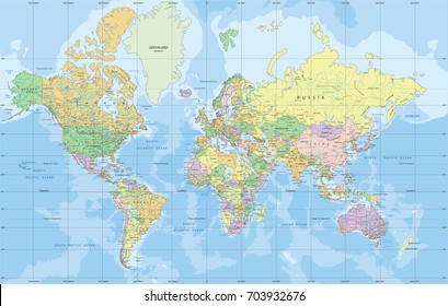
world map
,
map silhouette
Sort by
Most relevant
Sponsored results by
Get 15% off with code: VEXELS15
Show more
Indiana map color stroke PNG Design
Choose a folder
All favorites
Create new
Save
Indiana map color stroke PNG Design
Polygonal Nevada State Map PNG Design
Choose a folder
All favorites
Create new
Save
Polygonal Nevada State Map PNG Design
Premium
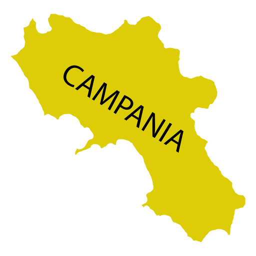
Campania region map PNG Design
Choose a folder
All favorites
Create new
Save
Campania region map PNG Design
Premium
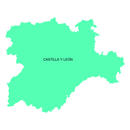
Castile and leon autonomous community map PNG Design
Choose a folder
All favorites
Create new
Save
Castile and leon autonomous community map PNG Design
Premium
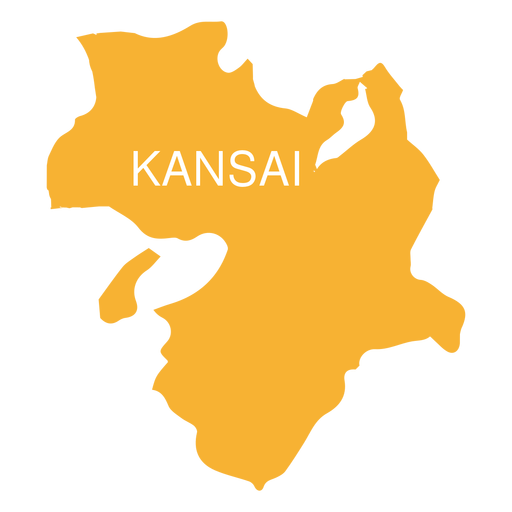
Kansai region map PNG Design
Choose a folder
All favorites
Create new
Save
Kansai region map PNG Design
Premium
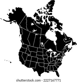
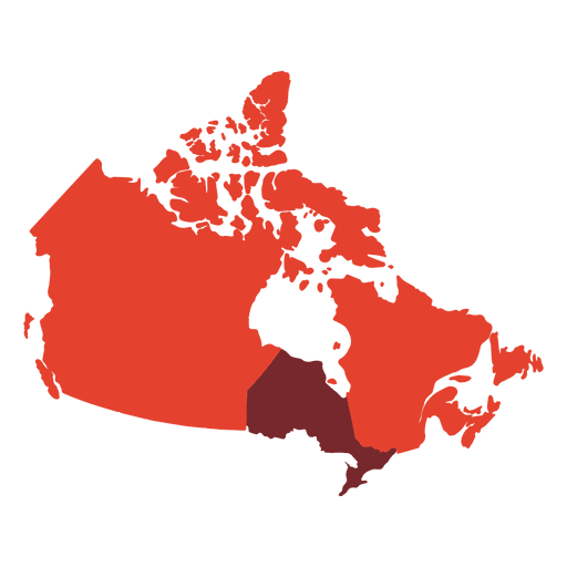
Canada map silhouette PNG Design
Choose a folder
All favorites
Create new
Save
Canada map silhouette PNG Design
Mandala United Arab Emirates Map PNG Design
Choose a folder
All favorites
Create new
Save
Mandala United Arab Emirates Map PNG Design
Illinois map polygonal PNG Design
Choose a folder
All favorites
Create new
Save
Illinois map polygonal PNG Design
Indian symbols india map PNG Design
Choose a folder
All favorites
Create new
Save
Indian symbols india map PNG Design
Premium
North west district map PNG Design
Choose a folder
All favorites
Create new
Save
North west district map PNG Design
New Jersey map polygonal PNG Design
Choose a folder
All favorites
Create new
Save
New Jersey map polygonal PNG Design
American flag in map filled stroke PNG Design
Choose a folder
All favorites
Create new
Save
American flag in map filled stroke PNG Design
Singapore Mandala Map PNG Design
Choose a folder
All favorites
Create new
Save
Singapore Mandala Map PNG Design
Premium
Map location colorful icon stroke PNG Design
Choose a folder
All favorites
Create new
Save
Map location colorful icon stroke PNG Design
Premium
Dice with map PNG Design
Choose a folder
All favorites
Create new
Save
Dice with map PNG Design
North America Geometric Map PNG Design
Choose a folder
All favorites
Create new
Save
North America Geometric Map PNG Design
Iowa map mandala PNG Design
Choose a folder
All favorites
Create new
Save
Iowa map mandala PNG Design
Polygonal Oklahoma State Map PNG Design
Choose a folder
All favorites
Create new
Save
Polygonal Oklahoma State Map PNG Design
Stroke pirate map PNG Design
Choose a folder
All favorites
Create new
Save
Stroke pirate map PNG Design
Premium
Tripura state map PNG Design
Choose a folder
All favorites
Create new
Save
Tripura state map PNG Design
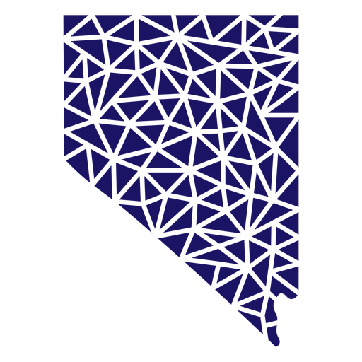
Nevada map polygonal PNG Design
Choose a folder
All favorites
Create new
Save
Nevada map polygonal PNG Design
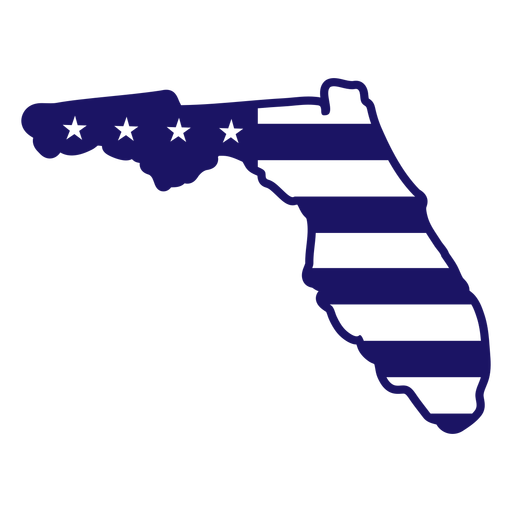
Florida map filled stroke PNG Design
Choose a folder
All favorites
Create new
Save
Florida map filled stroke PNG Design
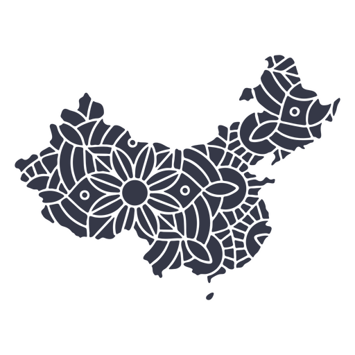
China map silhouette mandala cut out PNG Design
Choose a folder
All favorites
Create new
Save
China map silhouette mandala cut out PNG Design
Premium
American map design element PNG Design
Choose a folder
All favorites
Create new
Save
American map design element PNG Design
Premium
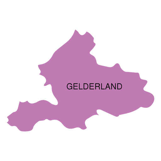
Gelderland province map PNG Design
Choose a folder
All favorites
Create new
Save
Gelderland province map PNG Design
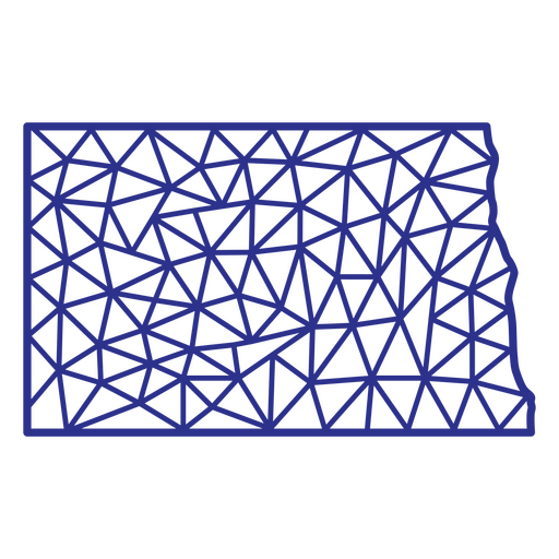
North Dakota map polygonal PNG Design
Choose a folder
All favorites
Create new
Save
North Dakota map polygonal PNG Design
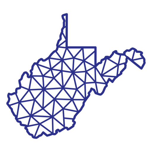
West Virginia map polygonal PNG Design
Choose a folder
All favorites
Create new
Save
West Virginia map polygonal PNG Design
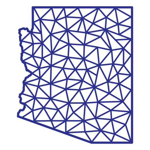
Arizona map polygonal PNG Design
Choose a folder
All favorites
Create new
Save
Arizona map polygonal PNG Design
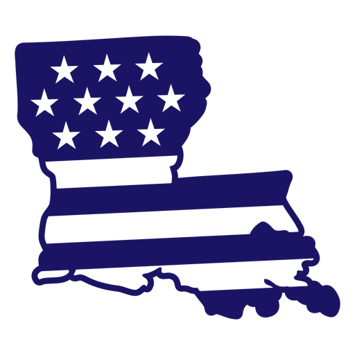
Louisiana state american flag filled stroke map PNG Design
Choose a folder
All favorites
Create new
Save
Louisiana state american flag filled stroke map PNG Design
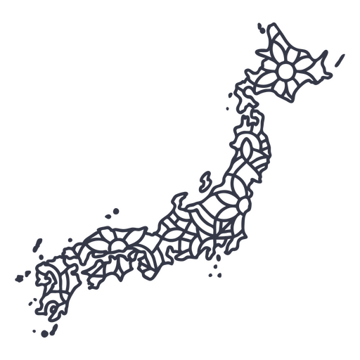
Japan map silhouette mandala stroke PNG Design
Choose a folder
All favorites
Create new
Save
Japan map silhouette mandala stroke PNG Design
Premium
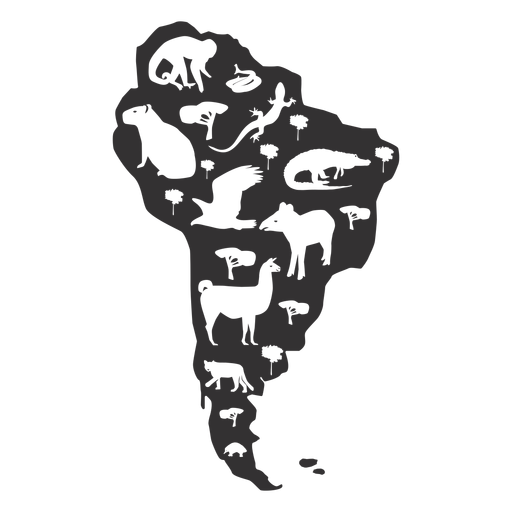
South america map silhouette PNG Design
Choose a folder
All favorites
Create new
Save
South america map silhouette PNG Design
Premium
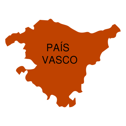
Basque country autonomous community map PNG Design
Choose a folder
All favorites
Create new
Save
Basque country autonomous community map PNG Design
Premium
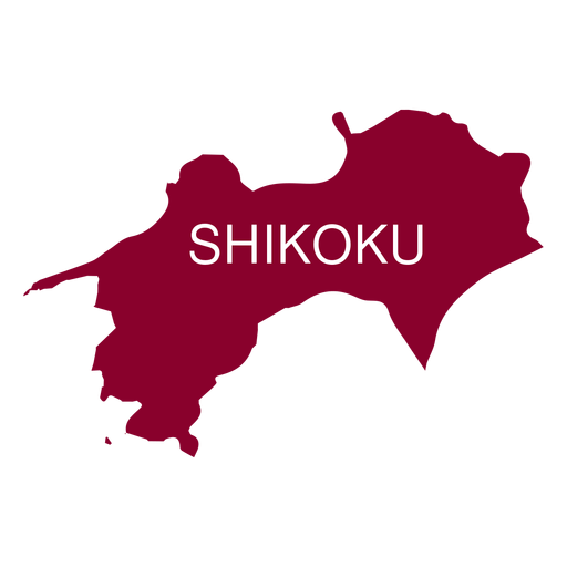
Shikoku region map PNG Design
Choose a folder
All favorites
Create new
Save
Shikoku region map PNG Design
Premium
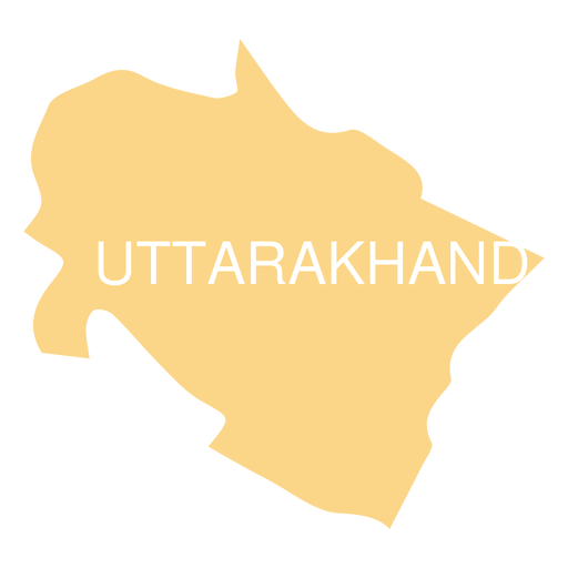
Uttarakhand state map PNG Design
Choose a folder
All favorites
Create new
Save
Uttarakhand state map PNG Design
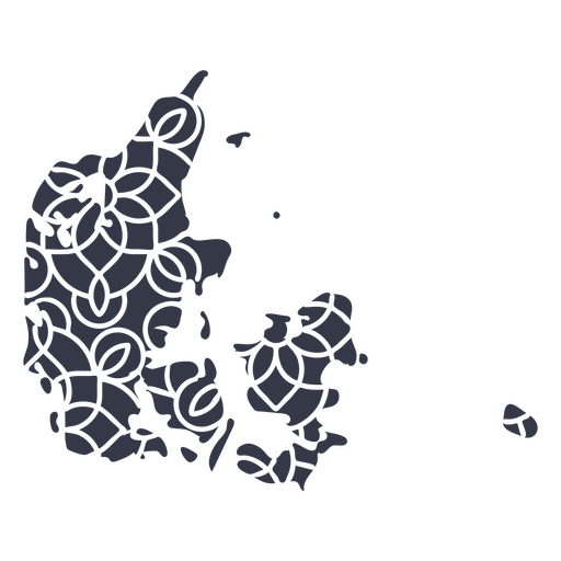
Mandala Denmark Map PNG Design
Choose a folder
All favorites
Create new
Save
Mandala Denmark Map PNG Design
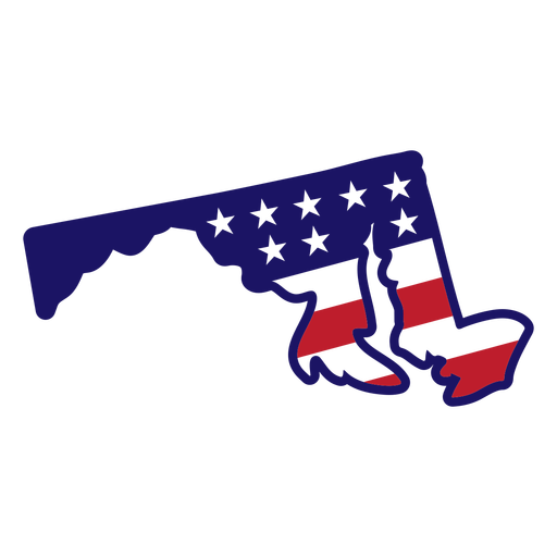
Maryland Stars & Stripes Map PNG Design
Choose a folder
All favorites
Create new
Save
Maryland Stars & Stripes Map PNG Design
Premium
Compass hunting map hunt PNG Design
Choose a folder
All favorites
Create new
Save
Compass hunting map hunt PNG Design
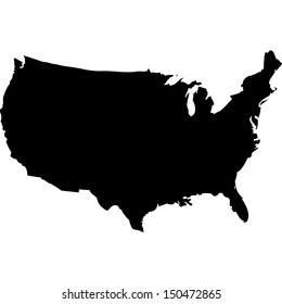
USA map cut out PNG Design
Choose a folder
All favorites
Create new
Save
USA map cut out PNG Design
Premium
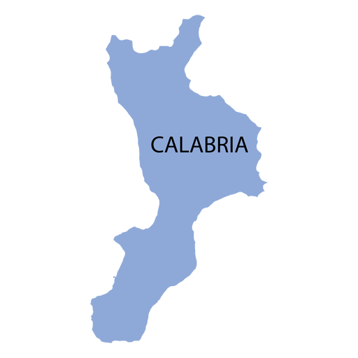
Calabria region map PNG Design
Choose a folder
All favorites
Create new
Save
Calabria region map PNG Design
Santa checking map cartoon PNG Design
Choose a folder
All favorites
Create new
Save
Santa checking map cartoon PNG Design
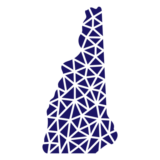
Polygonal New Hampshire Map PNG Design
Choose a folder
All favorites
Create new
Save
Polygonal New Hampshire Map PNG Design
Premium
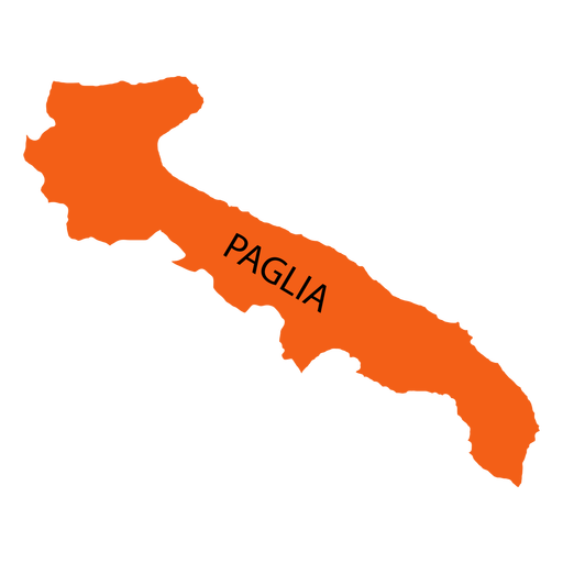
Apulia region map PNG Design
Choose a folder
All favorites
Create new
Save
Apulia region map PNG Design
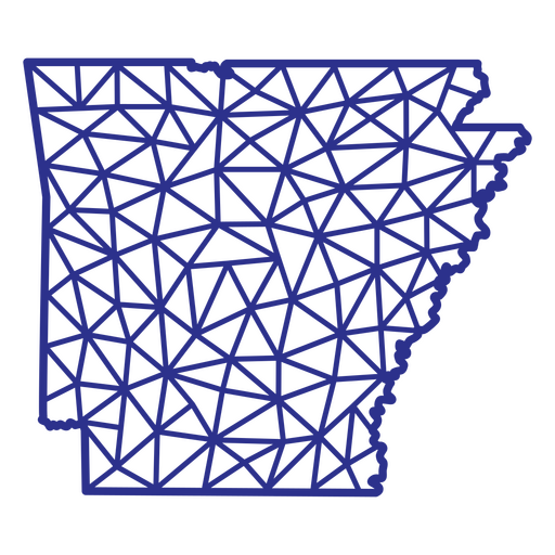
Arkansas map polygonal PNG Design
Choose a folder
All favorites
Create new
Save
Arkansas map polygonal PNG Design
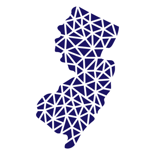
Polygonal New Jersey Map PNG Design
Choose a folder
All favorites
Create new
Save
Polygonal New Jersey Map PNG Design
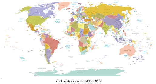
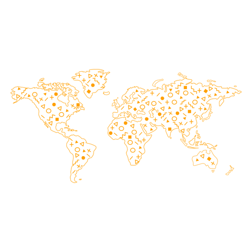
World map stroke PNG Design
Choose a folder
All favorites
Create new
Save
World map stroke PNG Design
Premium
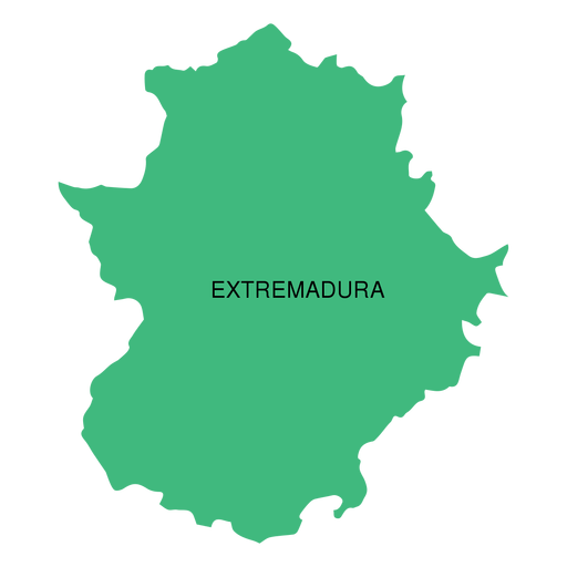
Extremadura autonomous community map PNG Design
Choose a folder
All favorites
Create new
Save
Extremadura autonomous community map PNG Design
Premium
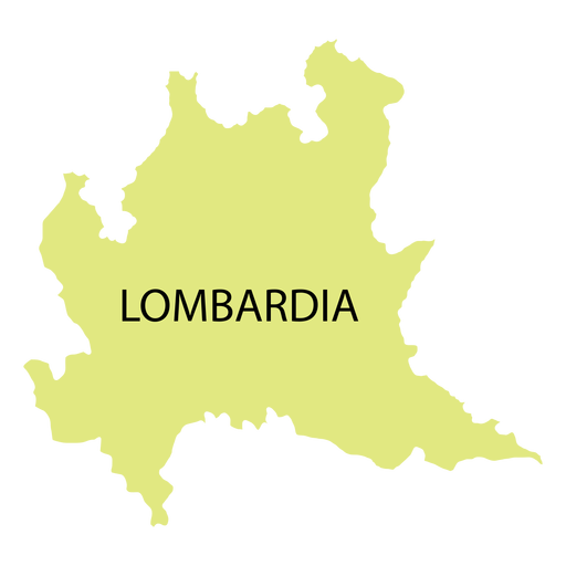
Lombardy region map PNG Design
Choose a folder
All favorites
Create new
Save
Lombardy region map PNG Design
Premium
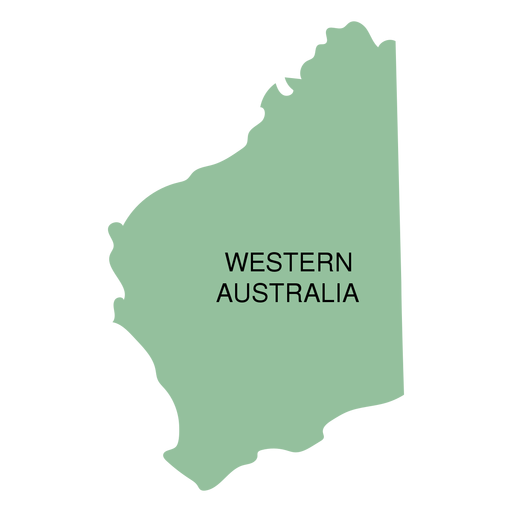
Western australia state map PNG Design
Choose a folder
All favorites
Create new
Save
Western australia state map PNG Design
A silhouette of the map of Austria PNG Design
Choose a folder
All favorites
Create new
Save
A silhouette of the map of Austria PNG Design
Premium
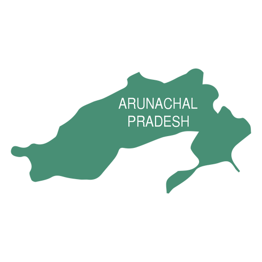
Arunachal pradesh state map PNG Design
Choose a folder
All favorites
Create new
Save
Arunachal pradesh state map PNG Design
Boost Your Business
With The Leading Graphic Platform For Merch.
SEE PLANS
Next
of 36
prev page
next page