Design Library
Explore Designs
New Merch Designs
Trending Merch Designs
Vectors
PNGs & SVGs
Mockups
T-Shirts
T-Shirt PSD Templates
KDP Designs
Phone Cases
Pillows
Tote Bags
Posters
Mugs
Design Tools
Designer
New!
T-shirt Maker
Mockup Generator
Quote Generator
Logo Maker
Resources
Merch Digest
Blog
Help Center
Creators Program
Learn About Merch
Changelog
Pricing
Loading...
Sign Up
Login
All
south
america
Design Library
Explore Designs
New Merch Designs
Trending Merch Designs
Vectors
PNGs & SVGs
Mockups
T-Shirts
T-Shirt PSD Templates
KDP Designs
Phone Cases
Pillows
Tote Bags
Posters
Mugs
Design Tools
Designer
New!
T-shirt Maker
Mockup Generator
Quote Generator
Logo Maker
Resources
Merch Digest
Blog
Help Center
Creators Program
Learn About Merch
Changelog
PLANS
All
south
america
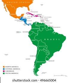
156 south america Graphics and Designs
South america Graphics to download
Related:
south american
,
western south america
Sort by
Most relevant
Sponsored results by
Get 15% off with code: VEXELS15
Show more
South american soccer championship badge emblem flat PNG Design
Choose a folder
All favorites
Create new
Save
South american soccer championship badge emblem flat PNG Design
Premium
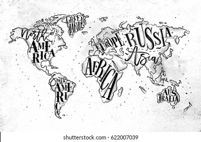
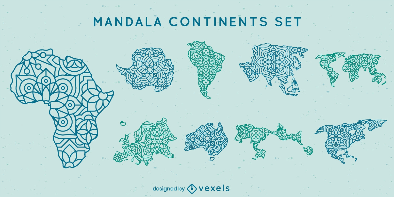
Mandala continents map set
Choose a folder
All favorites
Create new
Save
Mandala continents map set
Premium
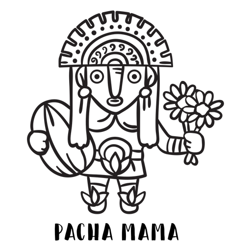
Pacha mama inca mtyhology outline PNG Design
Choose a folder
All favorites
Create new
Save
Pacha mama inca mtyhology outline PNG Design
Edit in T-shirt Maker
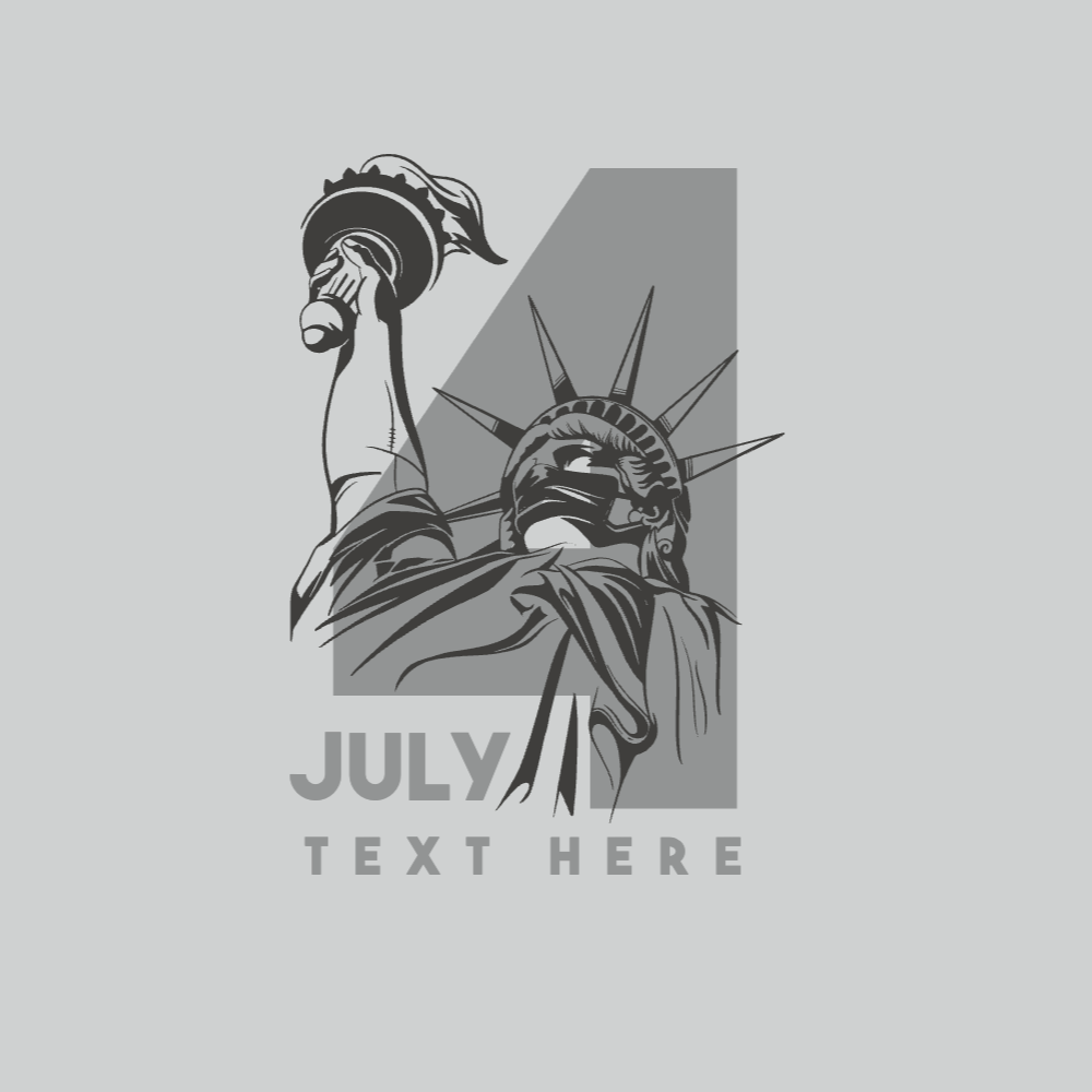
Liberty Statue 4th july editable t-shirt template | Create Merch
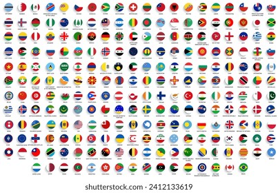
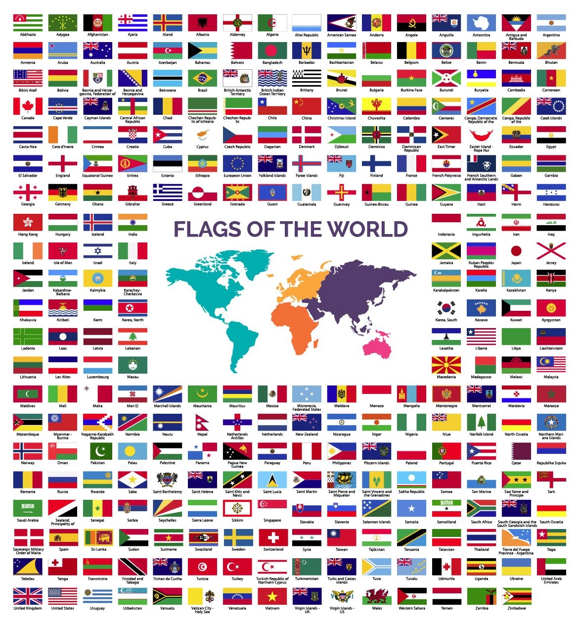
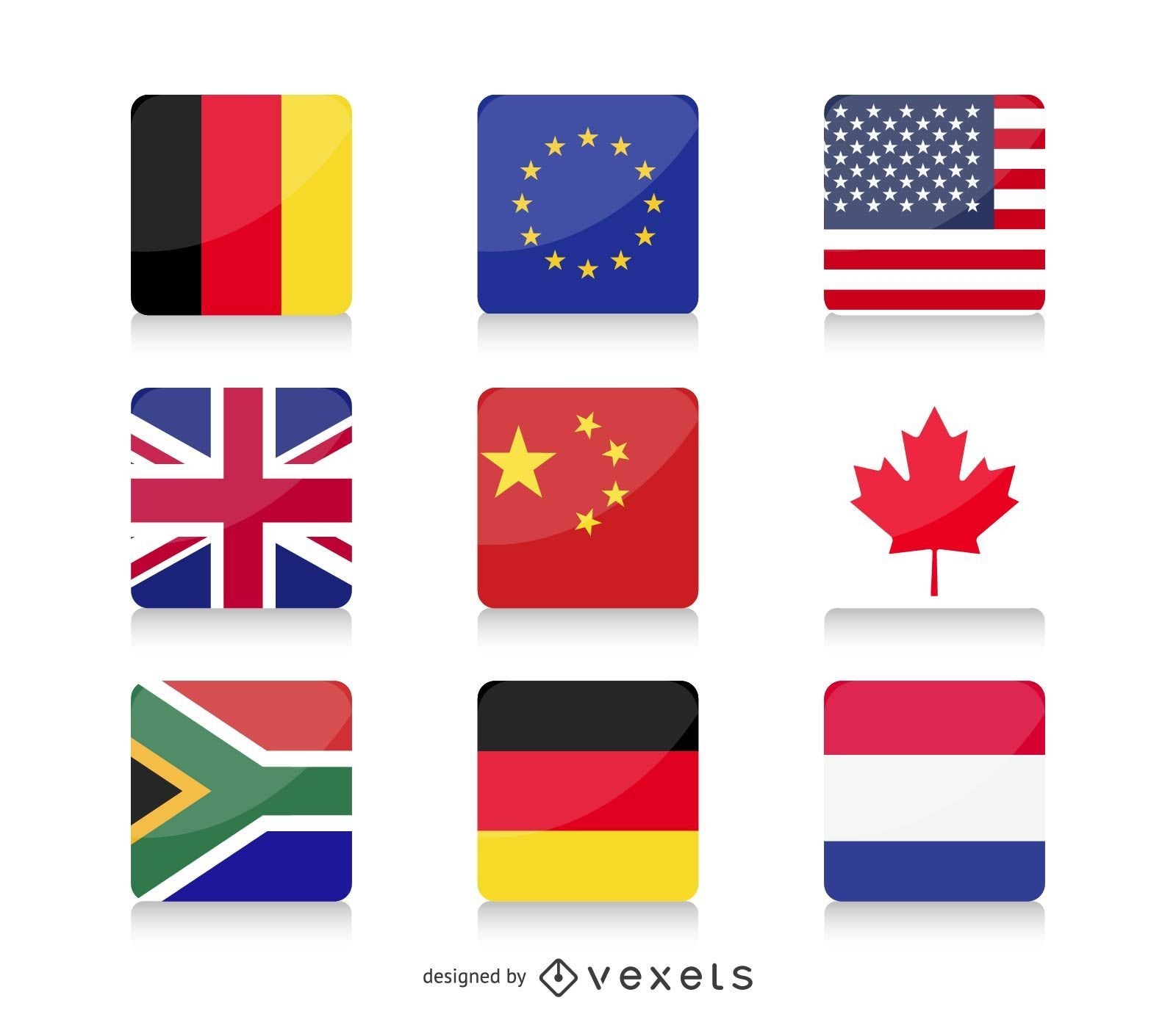
World Flags collection
Choose a folder
All favorites
Create new
Save
World Flags collection
Premium
Inti inca mtyhology outline PNG Design
Choose a folder
All favorites
Create new
Save
Inti inca mtyhology outline PNG Design
Print ready
for Merch
Latin power sparkly t-shirt design
Choose a folder
All favorites
Create new
Save
Latin power sparkly t-shirt design
Edit in T-shirt Maker
Liberty statue with gun editable t-shirt template | T-Shirt Maker
Premium
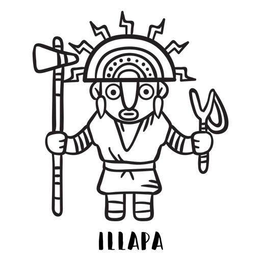
Illapa inca mtyhology outline PNG Design
Choose a folder
All favorites
Create new
Save
Illapa inca mtyhology outline PNG Design
Premium
Mama quilla inca mtyhology outline PNG Design
Choose a folder
All favorites
Create new
Save
Mama quilla inca mtyhology outline PNG Design
Vector globe - earth
Choose a folder
All favorites
Create new
Save
Vector globe - earth
Edit in T-shirt Maker
Liberty Statue t-rex editable t-shirt template | Create Online
Premium
Viracocha inca mtyhology outline PNG Design
Choose a folder
All favorites
Create new
Save
Viracocha inca mtyhology outline PNG Design
Print ready
for Merch
Hispanic & proud quote t-shirt design
Choose a folder
All favorites
Create new
Save
Hispanic & proud quote t-shirt design
World Flags
Choose a folder
All favorites
Create new
Save
World Flags
Edit in T-shirt Maker
USA flag and eagle editable t-shirt template | T-Shirt Maker
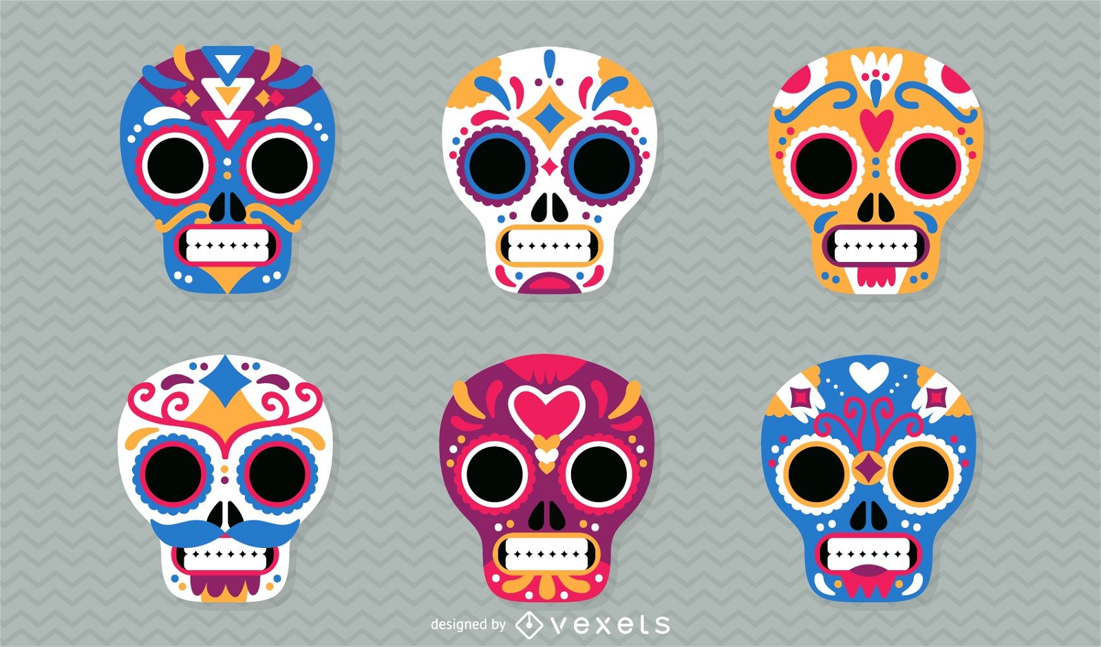
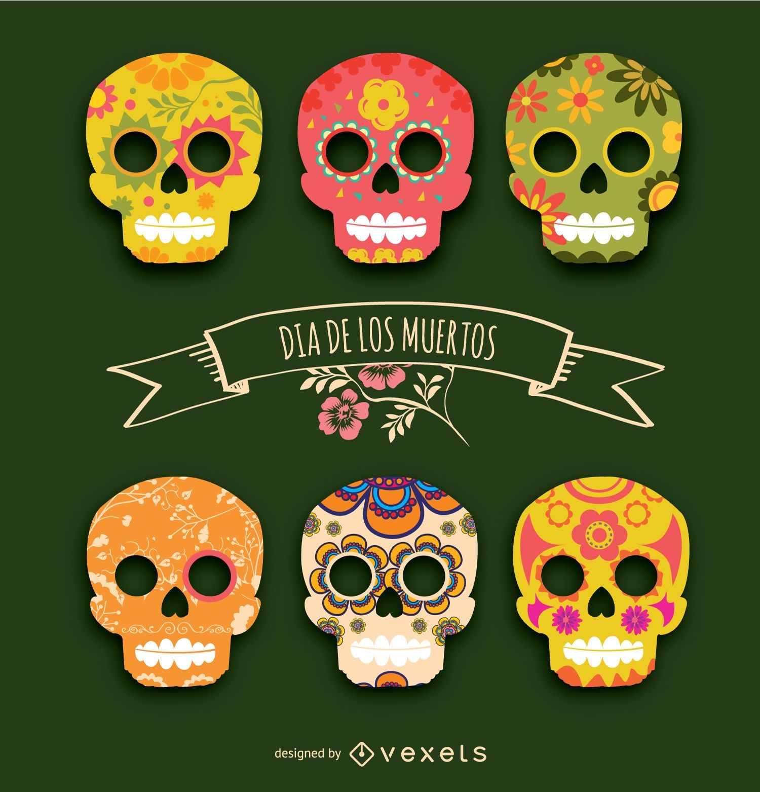
Day of the Dead mexican skulls illustration
Choose a folder
All favorites
Create new
Save
Day of the Dead mexican skulls illustration
Premium
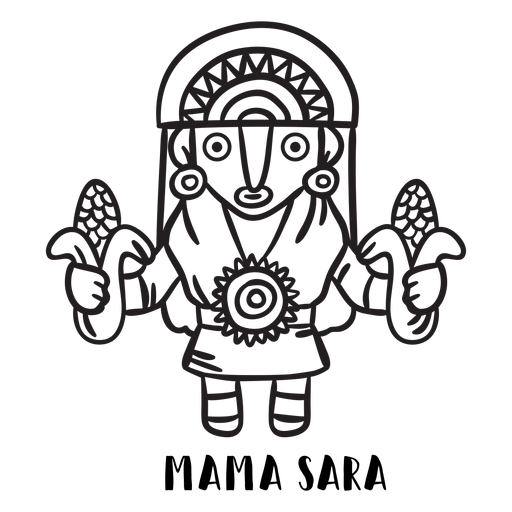
Mama sara inca mtyhology outline PNG Design
Choose a folder
All favorites
Create new
Save
Mama sara inca mtyhology outline PNG Design
Premium
Mama cocha inca mtyhology outline PNG Design
Choose a folder
All favorites
Create new
Save
Mama cocha inca mtyhology outline PNG Design
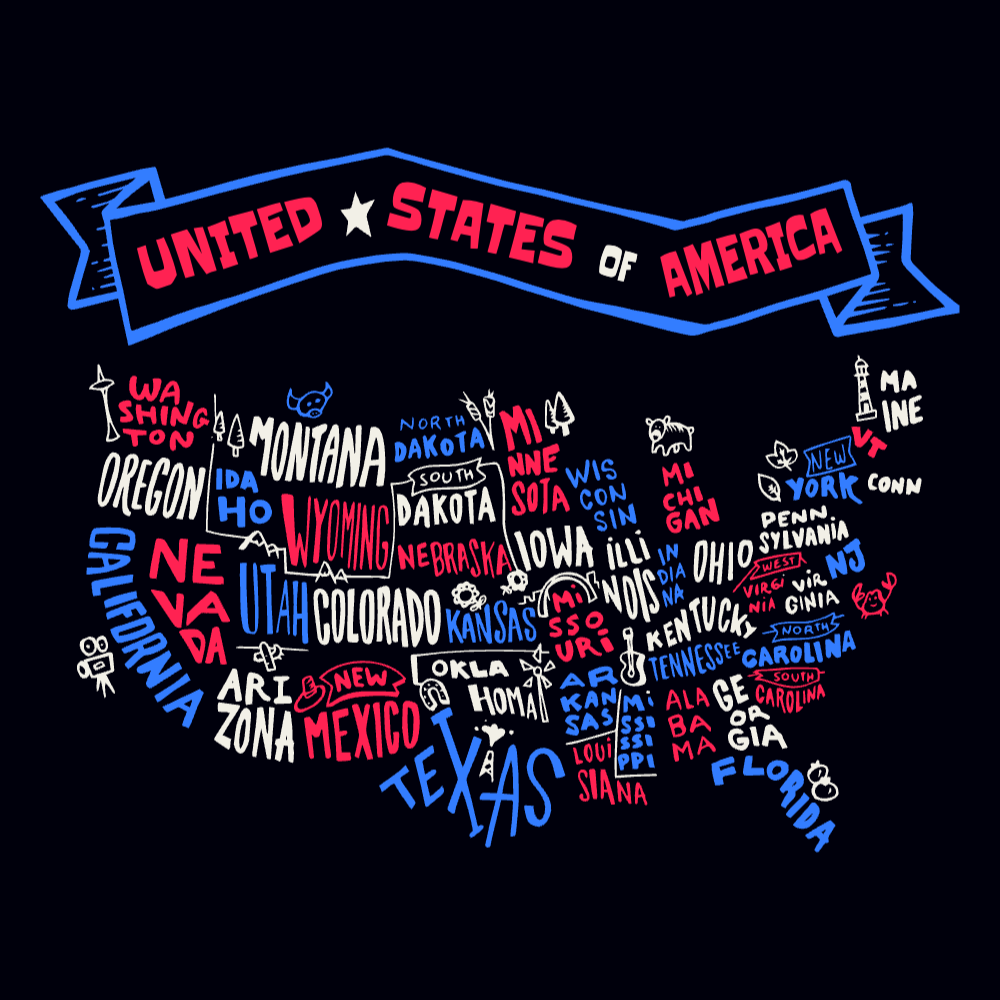
Edit in T-shirt Maker
USA states map editable t-shirt template | Create Merch Online
Premium
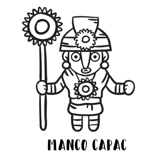
Manco capac inca mtyhology outline PNG Design
Choose a folder
All favorites
Create new
Save
Manco capac inca mtyhology outline PNG Design
Toco toucan perch branch stroke PNG Design
Choose a folder
All favorites
Create new
Save
Toco toucan perch branch stroke PNG Design
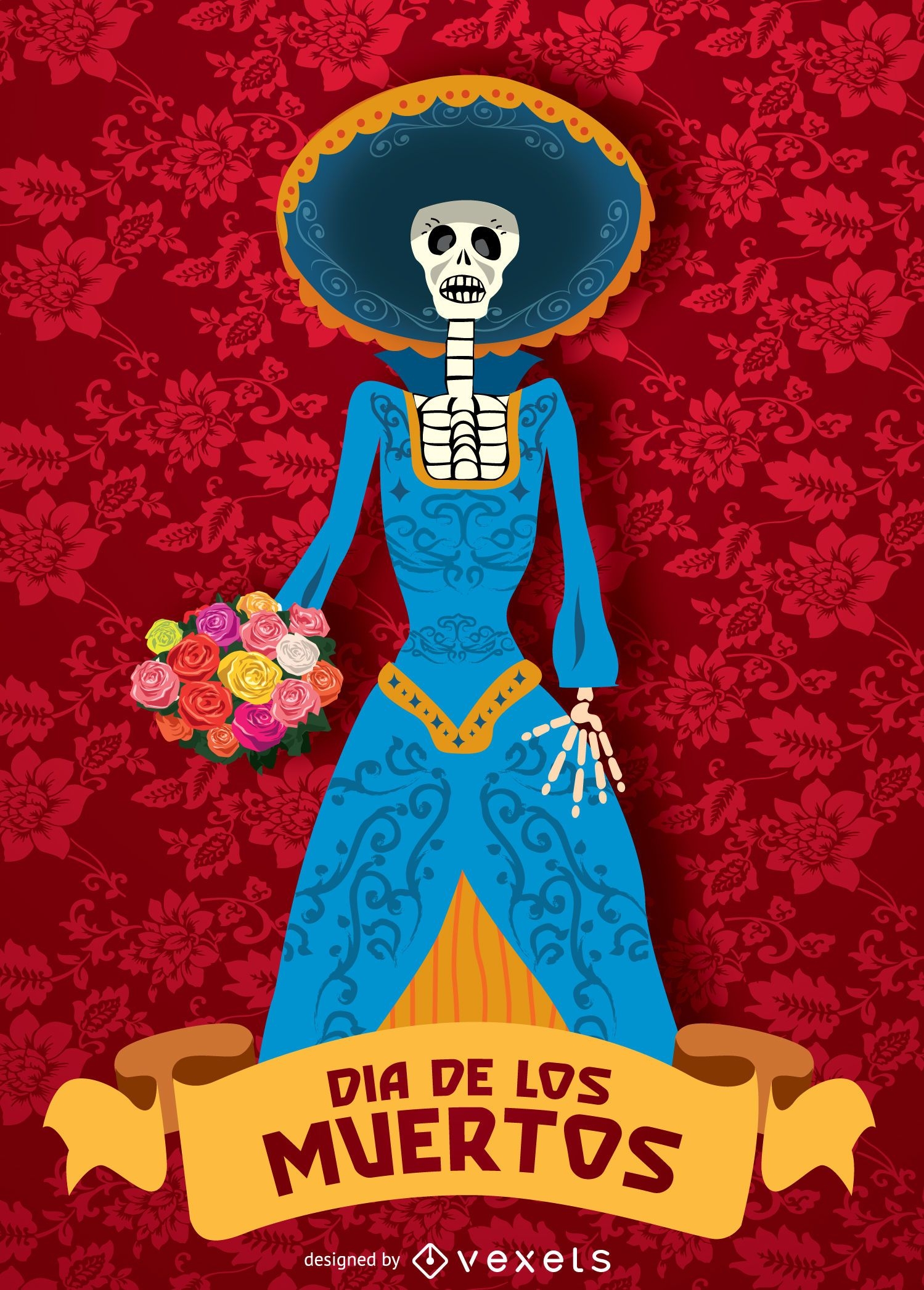
Day of dead - Dia de los muertos Catrina
Choose a folder
All favorites
Create new
Save
Day of dead - Dia de los muertos Catrina
Edit in T-shirt Maker
USA eagle editable t-shirt template | Create Online
Day of the dead - Día de los muertos
Choose a folder
All favorites
Create new
Save
Day of the dead - Día de los muertos
Premium
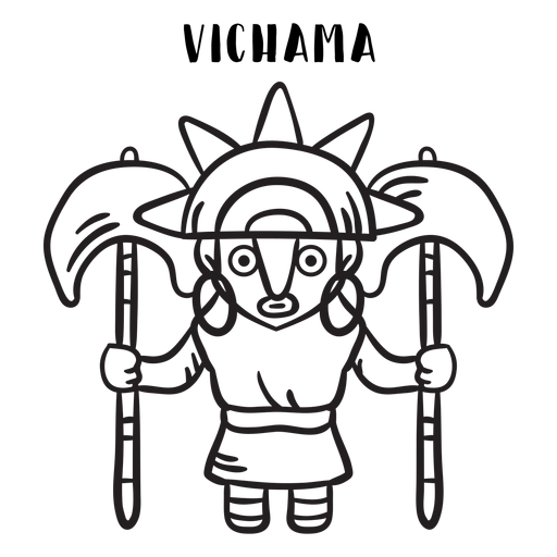
Vichama inca mtyhology outline PNG Design
Choose a folder
All favorites
Create new
Save
Vichama inca mtyhology outline PNG Design
Premium
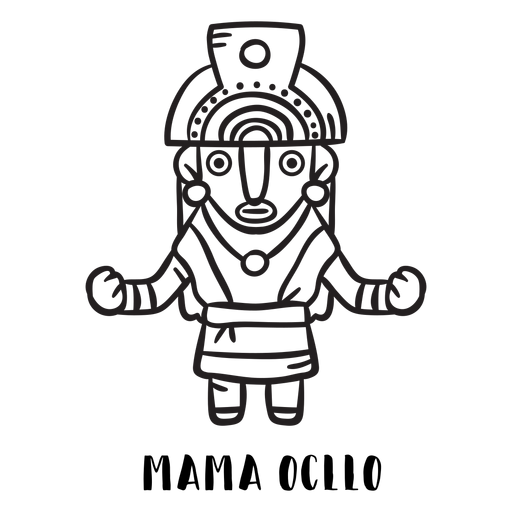
Mama ocllo inca mtyhology outline PNG Design
Choose a folder
All favorites
Create new
Save
Mama ocllo inca mtyhology outline PNG Design
Edit in T-shirt Maker
USA fireworks editable t-shirt template | Create Merch Online
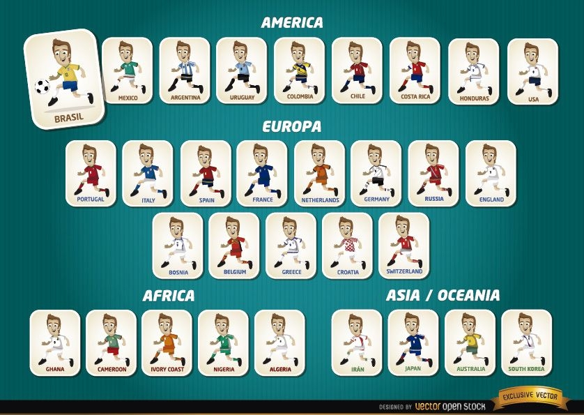
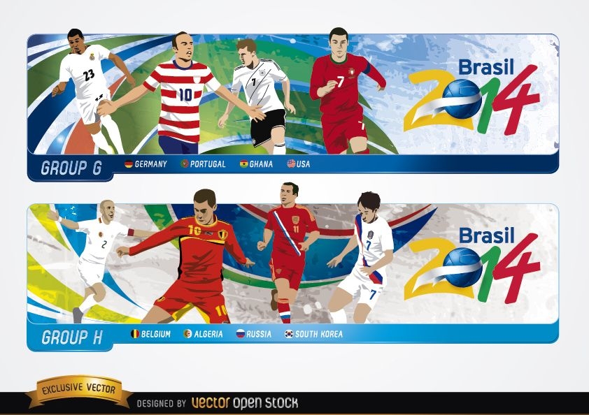
Cartoon football players teams Brazil 2014
Choose a folder
All favorites
Create new
Save
Cartoon football players teams Brazil 2014
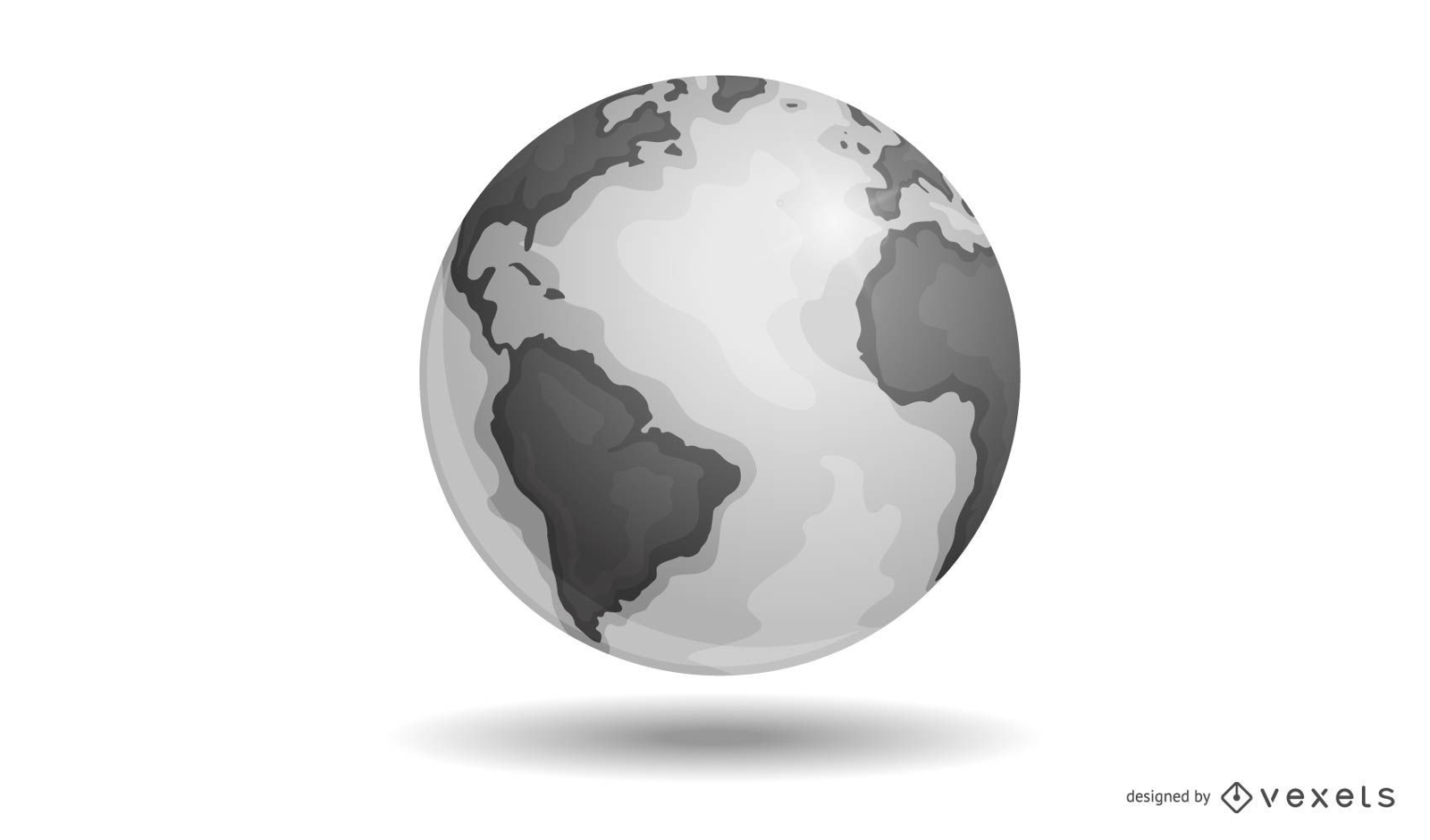
Vector Earth
Choose a folder
All favorites
Create new
Save
Vector Earth
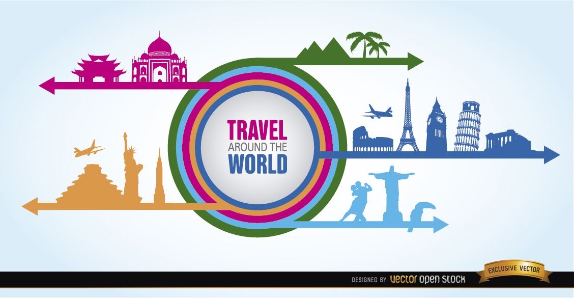
World landmarks collage silhouettes
Choose a folder
All favorites
Create new
Save
World landmarks collage silhouettes
Edit in T-shirt Maker
I love USA editable t-shirt template | T-Shirt Maker
Rio 2016 - Olympic rings on backgrounds
Choose a folder
All favorites
Create new
Save
Rio 2016 - Olympic rings on backgrounds
Rio 2016 Olympics logo on top
Choose a folder
All favorites
Create new
Save
Rio 2016 Olympics logo on top
Toucan perch branch hand drawn PNG Design
Choose a folder
All favorites
Create new
Save
Toucan perch branch hand drawn PNG Design
Edit in T-shirt Maker
4th of july firework editable t-shirt template | Create Merch
Edit in T-shirt Maker
American quote badge editable t-shirt template | Create Online
Edit in T-shirt Maker
Eagle badge editable t-shirt template | T-Shirt Maker
Edit in T-shirt Maker
USA flag tennis editable t-shirt template | T-Shirt Maker
Edit in T-shirt Maker
Firecracker editable t-shirt template | T-Shirt Maker
Edit in T-shirt Maker
4th July celebration editable t-shirt template | T-Shirt Maker
Edit in T-shirt Maker
Joe Biden drinking editable t-shirt template | Create Designs
Edit in T-shirt Maker
USA freedom t-shirt template editable | T-Shirt Maker
Edit in T-shirt Maker
Land of Liberty t-shirt template editable | Create Designs
Set of olympic rings - several motifs
Choose a folder
All favorites
Create new
Save
Set of olympic rings - several motifs
Headers with groups G H Brazil 2014
Choose a folder
All favorites
Create new
Save
Headers with groups G H Brazil 2014
Toco toucan perch branch black PNG Design
Choose a folder
All favorites
Create new
Save
Toco toucan perch branch black PNG Design
Edit in T-shirt Maker
Statue of liberty editable t-shirt template | T-Shirt Maker
Chilean huemul flat PNG Design
Choose a folder
All favorites
Create new
Save
Chilean huemul flat PNG Design
Chilean huemul monochrome PNG Design
Choose a folder
All favorites
Create new
Save
Chilean huemul monochrome PNG Design
Premium
Brazil silhouette map PNG Design
Choose a folder
All favorites
Create new
Save
Brazil silhouette map PNG Design
Edit in T-shirt Maker
4th of july cat cartoon editable t-shirt template | Create Online
Premium
Brazil map illustration PNG Design
Choose a folder
All favorites
Create new
Save
Brazil map illustration PNG Design
Premium
Mate flat set
Choose a folder
All favorites
Create new
Save
Mate flat set
for Merch
Argentina Russia Cup t-shirt design
Choose a folder
All favorites
Create new
Save
Argentina Russia Cup t-shirt design
Edit in T-shirt Maker
Boarding pass LA editable t-shirt template | Create Merch
Boost Your Business
With The Leading Graphic Platform For Merch.
SEE PLANS
Next
of 4
prev page
next page