Design Library
Explore Designs
New Merch Designs
Trending Merch Designs
Vectors
PNGs & SVGs
Mockups
T-Shirts
T-Shirt PSD Templates
KDP Designs
Phone Cases
Pillows
Tote Bags
Posters
Mugs
Design Tools
Designer
New!
T-shirt Maker
Mockup Generator
Quote Generator
Logo Maker
Resources
Merch Digest
Blog
Help Center
Creators Program
Learn About Merch
Changelog
Pricing
Loading...
Sign Up
Login
All
a
map
Design Library
Explore Designs
New Merch Designs
Trending Merch Designs
Vectors
PNGs & SVGs
Mockups
T-Shirts
T-Shirt PSD Templates
KDP Designs
Phone Cases
Pillows
Tote Bags
Posters
Mugs
Design Tools
Designer
New!
T-shirt Maker
Mockup Generator
Quote Generator
Logo Maker
Resources
Merch Digest
Blog
Help Center
Creators Program
Learn About Merch
Changelog
PLANS
All
a
map
685 a map designs graphics for t-shirt and print on demand merch
Download a map t-shirt designs and other merch graphics like book covers, phone cases, tote bags and more.
Sort by
Most relevant
Sponsored results by
Get 15% off with code: VEXELS15
Show more
Print ready
for Merch
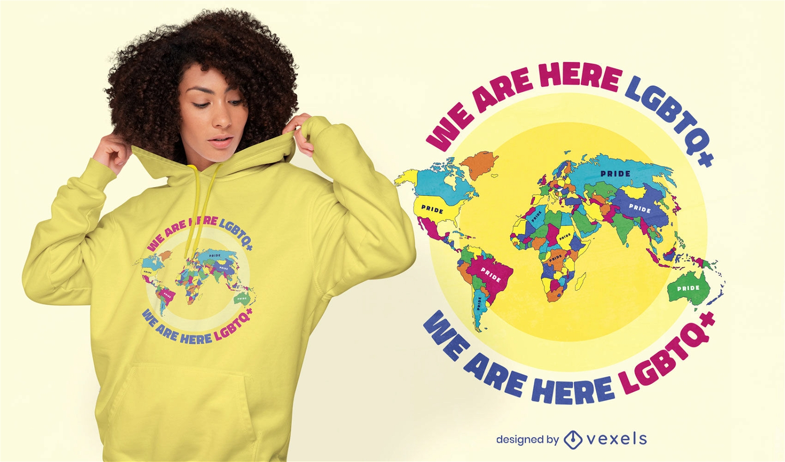
Pride world map lgbt t-shirt design
Choose a folder
All favorites
Create new
Save
Pride world map lgbt t-shirt design
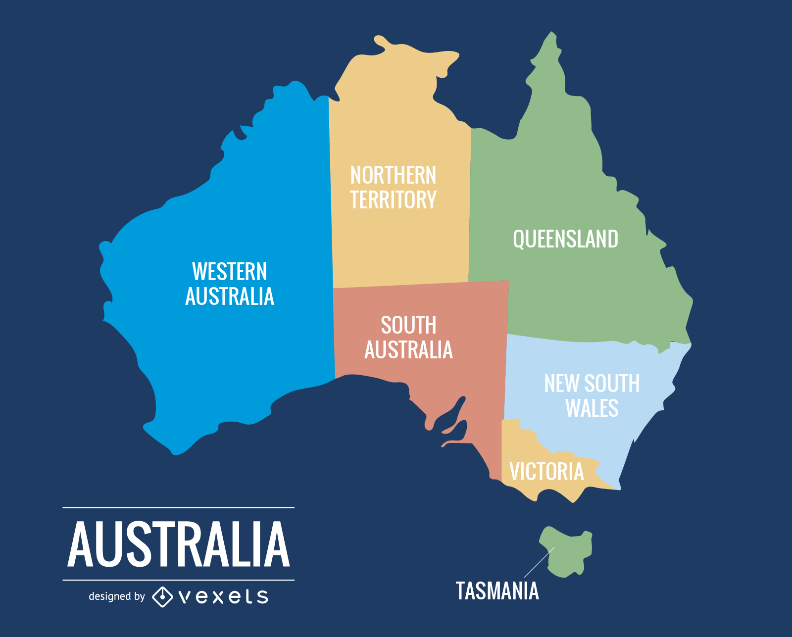
015 Australia Map
Choose a folder
All favorites
Create new
Save
015 Australia Map
Print ready
for Merch
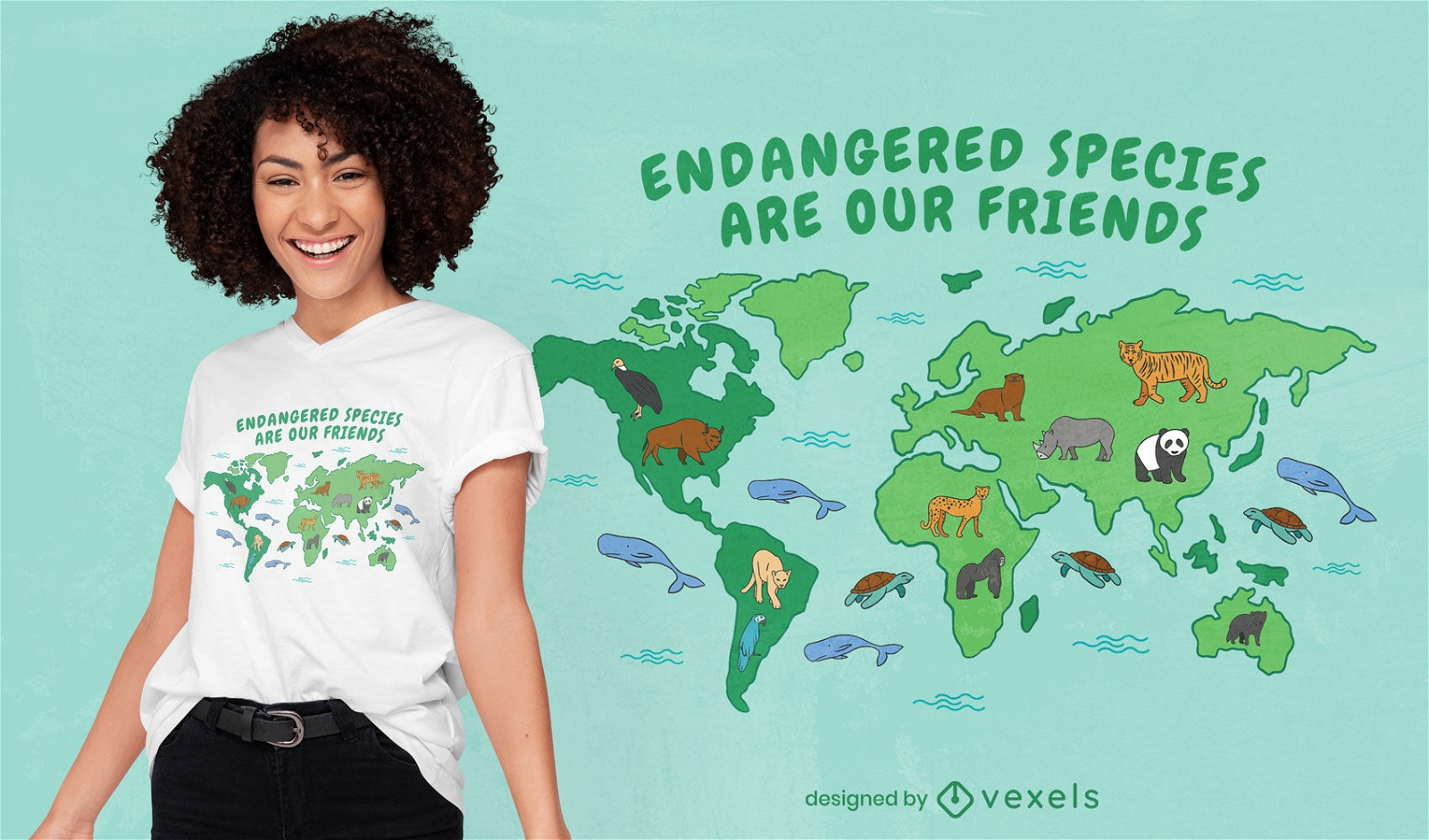
Endangered species map t-shirt design
Choose a folder
All favorites
Create new
Save
Endangered species map t-shirt design
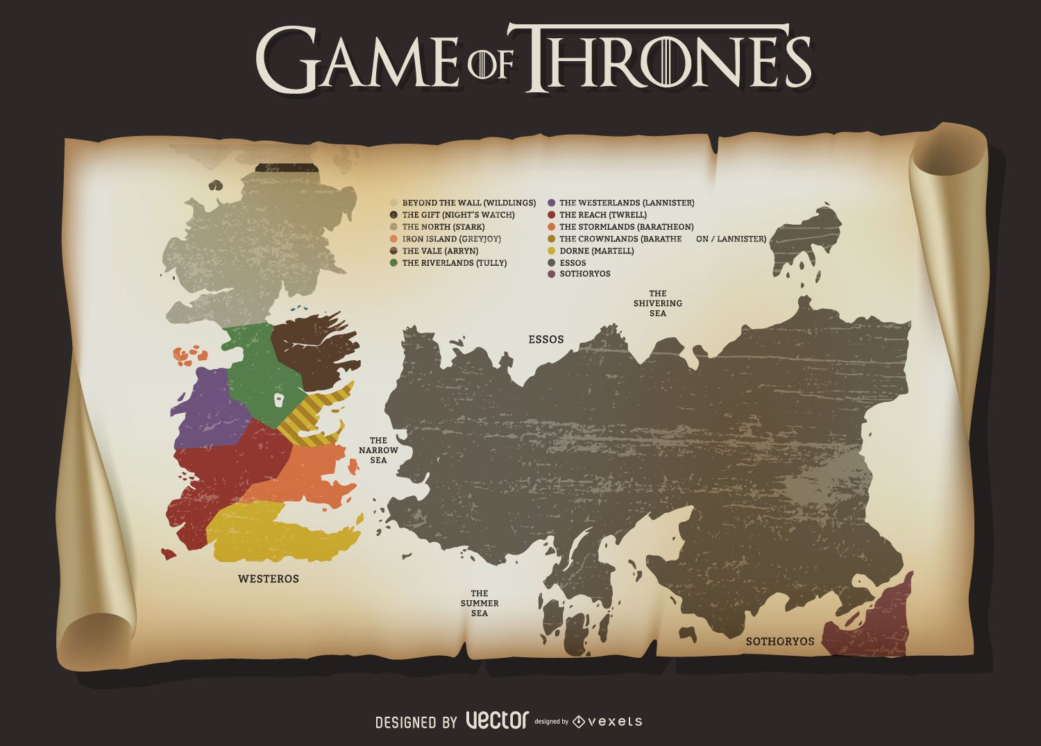
Game of Thrones map
Choose a folder
All favorites
Create new
Save
Game of Thrones map
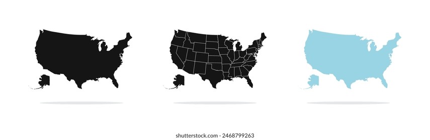
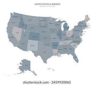
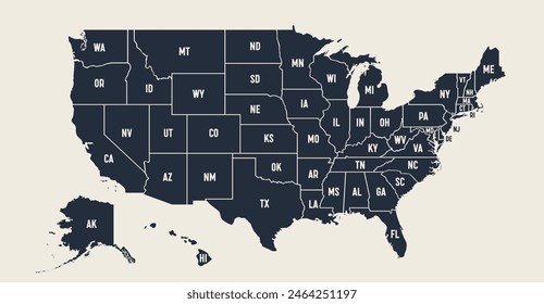
US map with handwritten states
Choose a folder
All favorites
Create new
Save
US map with handwritten states
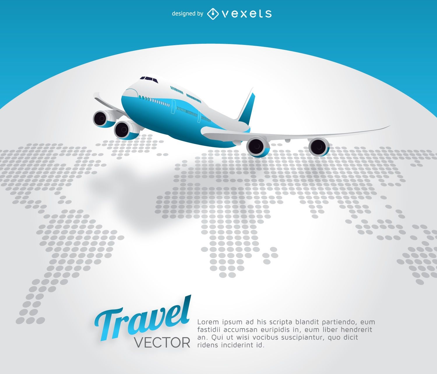
Plane travel world map
Choose a folder
All favorites
Create new
Save
Plane travel world map
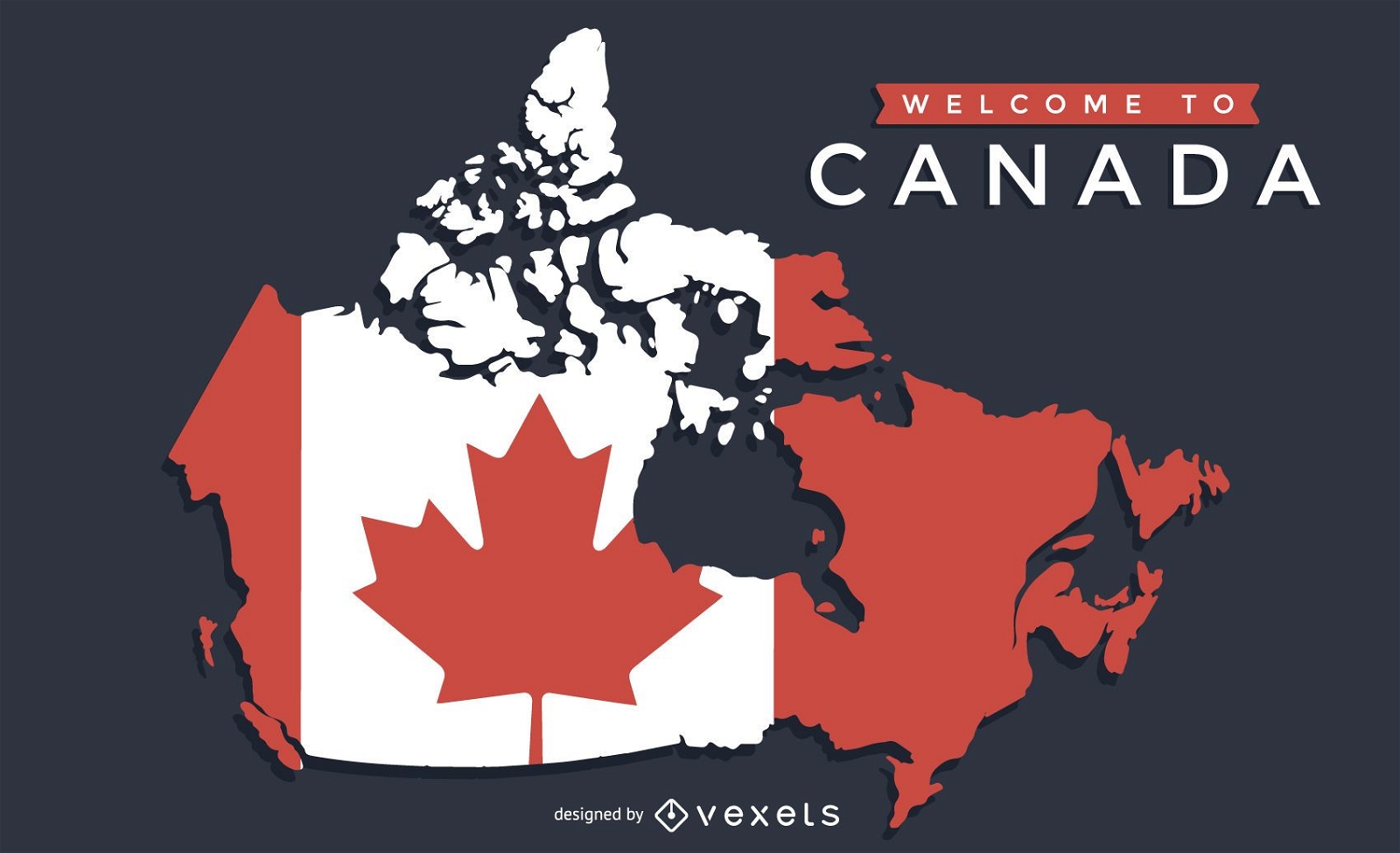
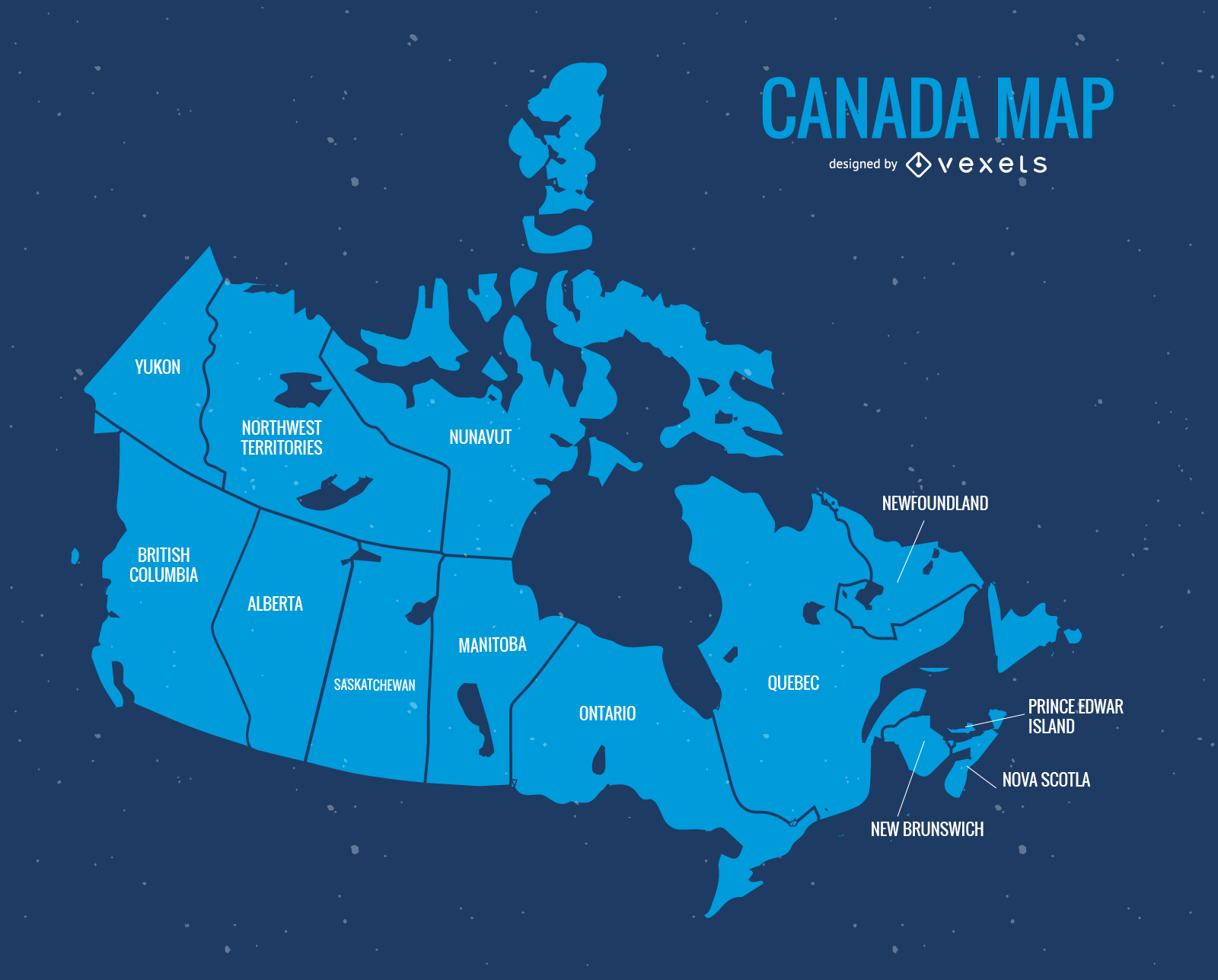
Canada map with flag design
Choose a folder
All favorites
Create new
Save
Canada map with flag design
Print ready
for Merch
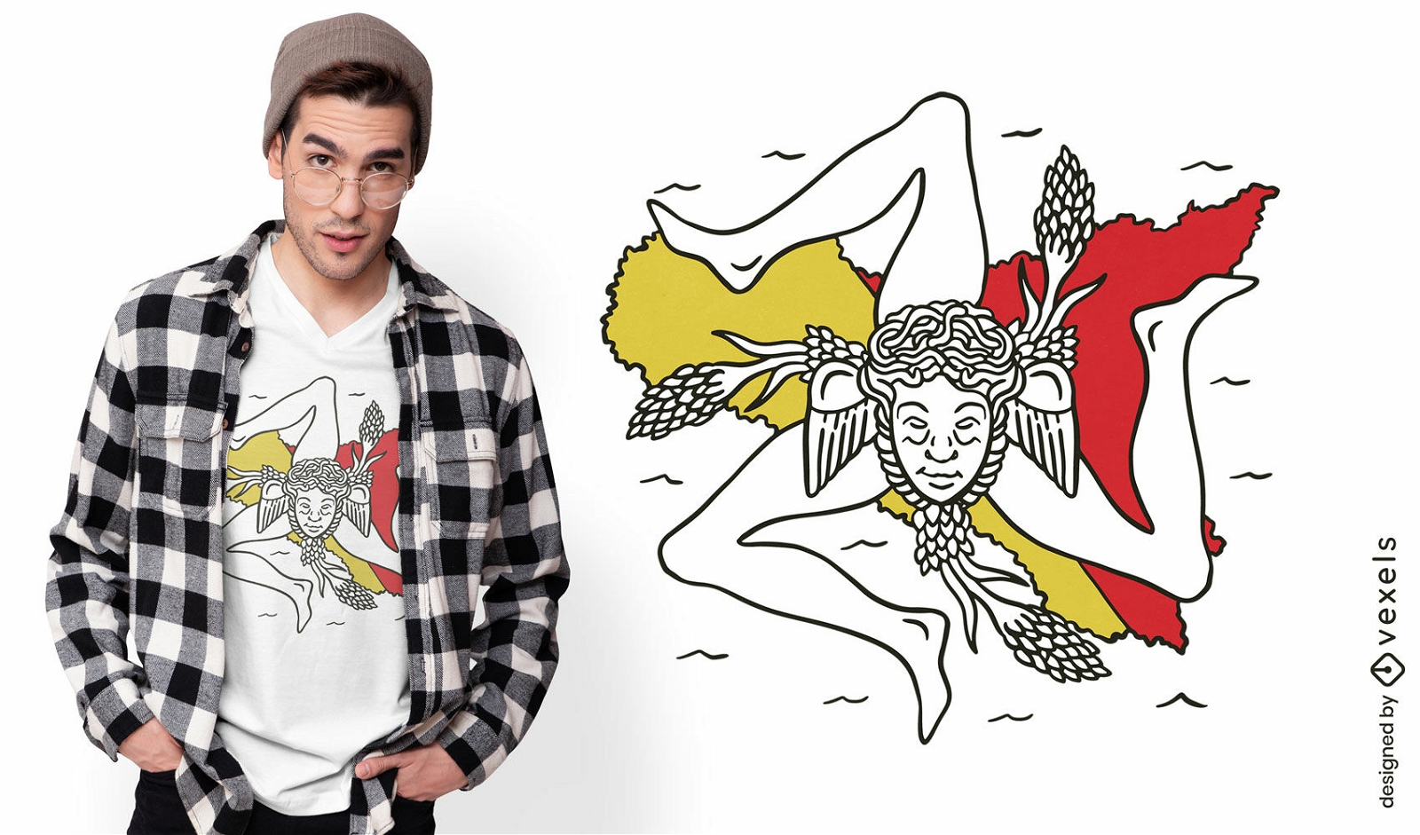
Sicily italy map and flag t-shirt design
Choose a folder
All favorites
Create new
Save
Sicily italy map and flag t-shirt design
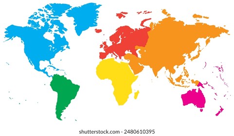
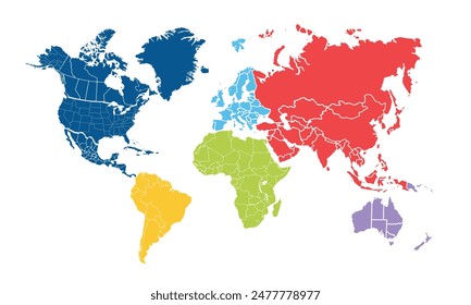
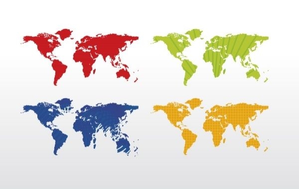
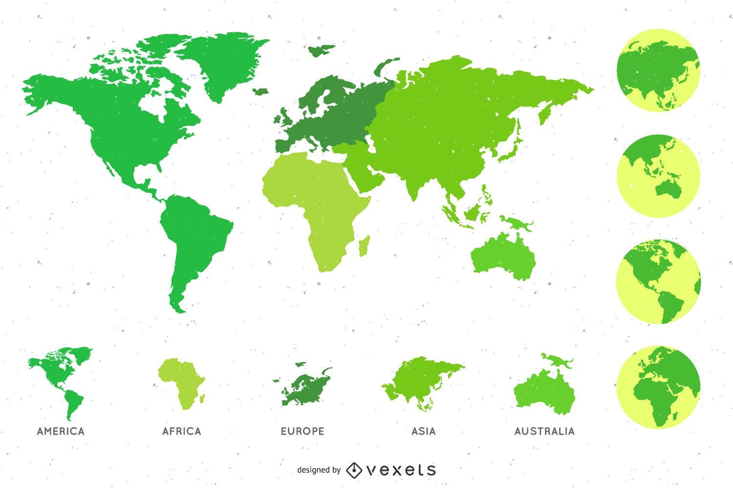
World map (4 colors)
Choose a folder
All favorites
Create new
Save
World map (4 colors)
A silhouette of the map of Spain PNG Design
Choose a folder
All favorites
Create new
Save
A silhouette of the map of Spain PNG Design
Tileable pattern
Premium
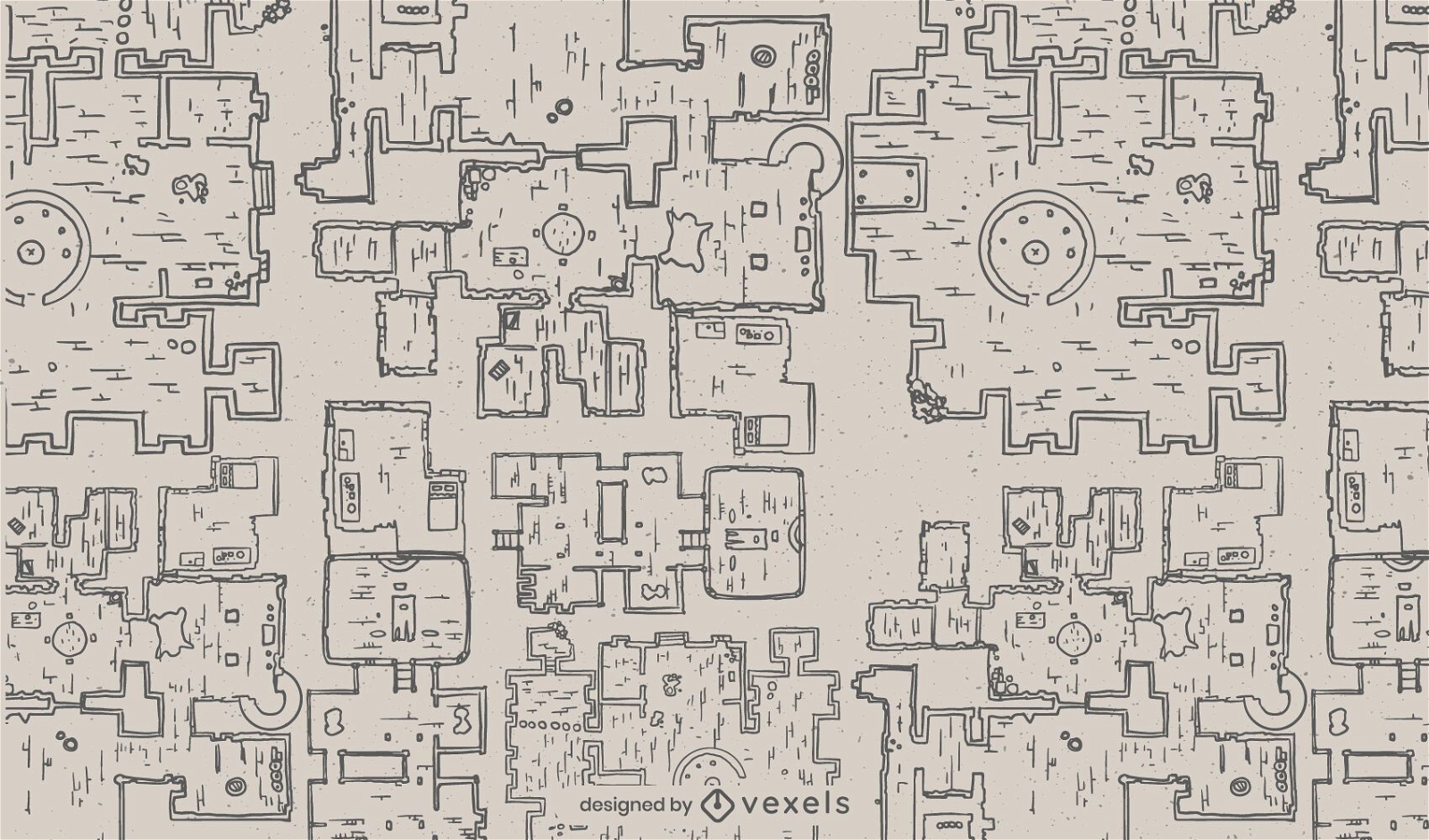
Fantasy dungeon architecture map pattern
Choose a folder
All favorites
Create new
Save
Fantasy dungeon architecture map pattern
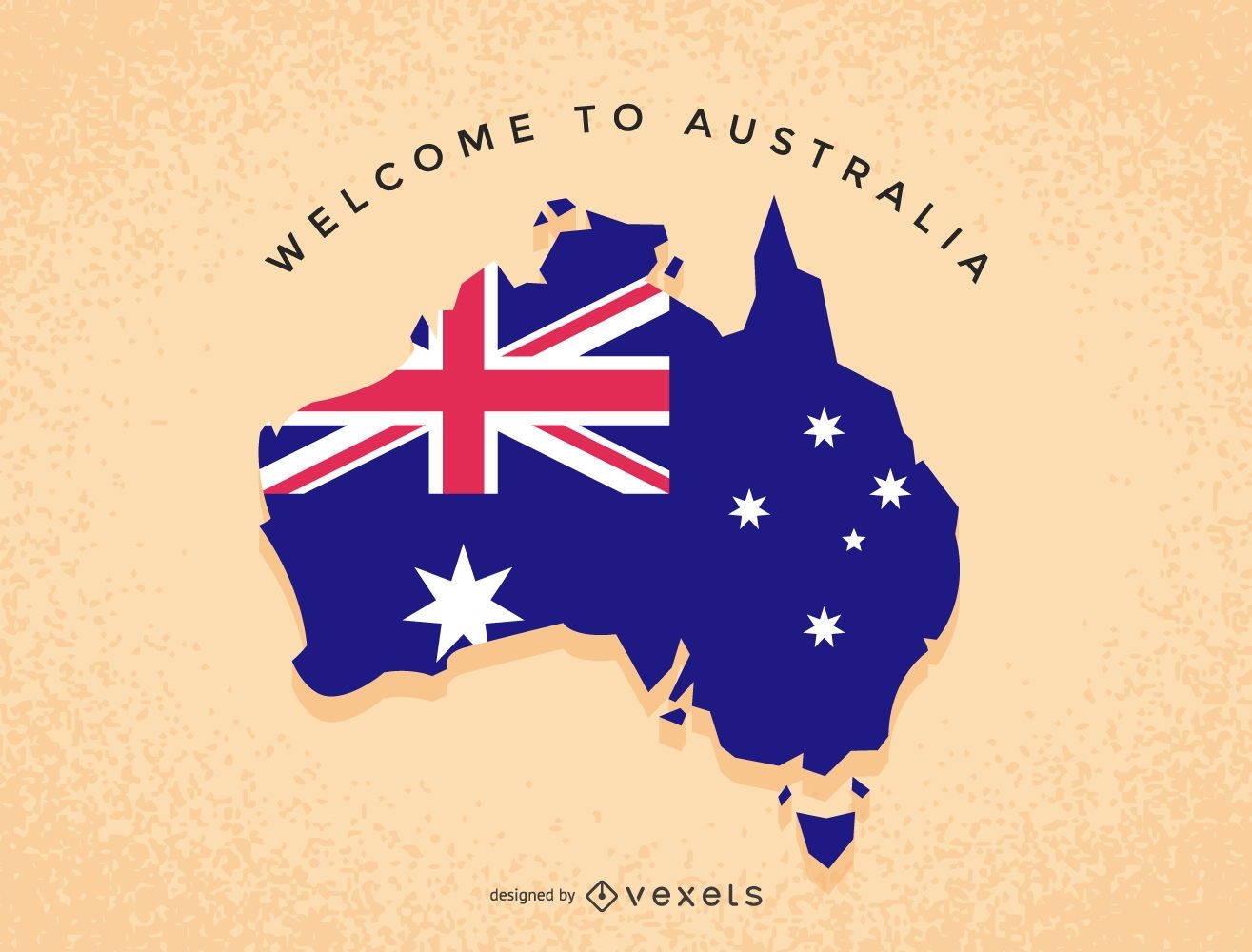
Australia illustration map
Choose a folder
All favorites
Create new
Save
Australia illustration map
Blue Canada Day Vector Map
Choose a folder
All favorites
Create new
Save
Blue Canada Day Vector Map
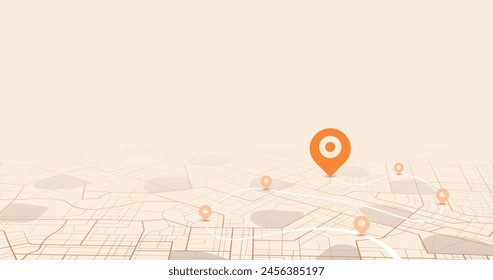
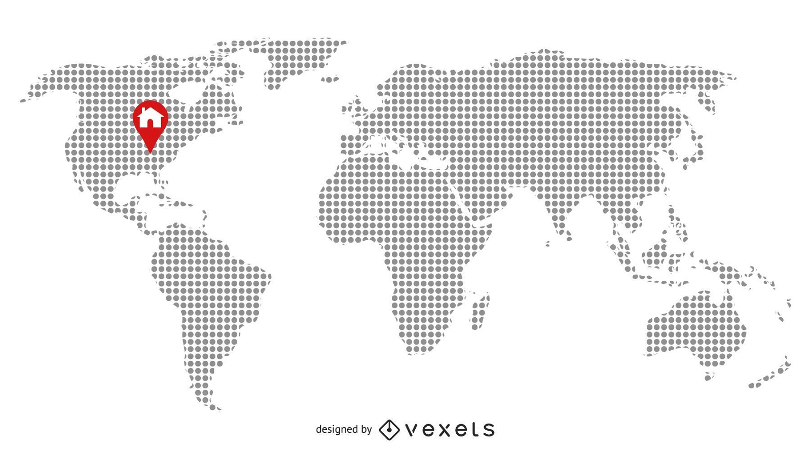
Pixilated Map with Home Location
Choose a folder
All favorites
Create new
Save
Pixilated Map with Home Location
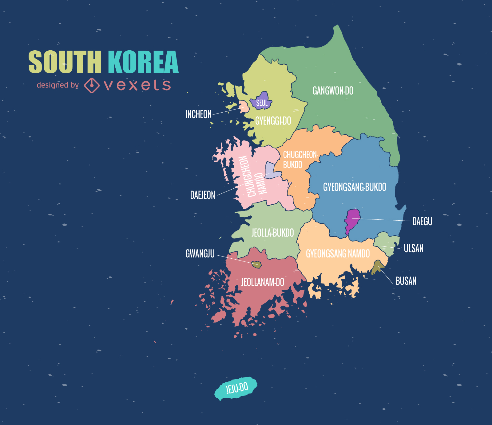
South Korea Map
Choose a folder
All favorites
Create new
Save
South Korea Map
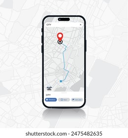
Premium
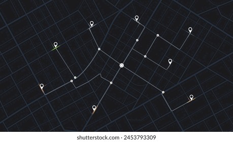
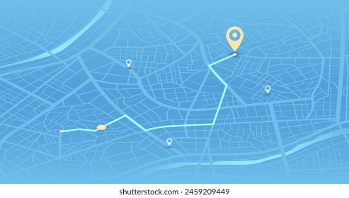
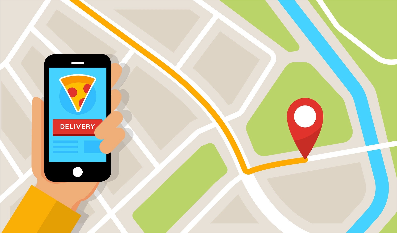
Delivery map flat application screen
Choose a folder
All favorites
Create new
Save
Delivery map flat application screen
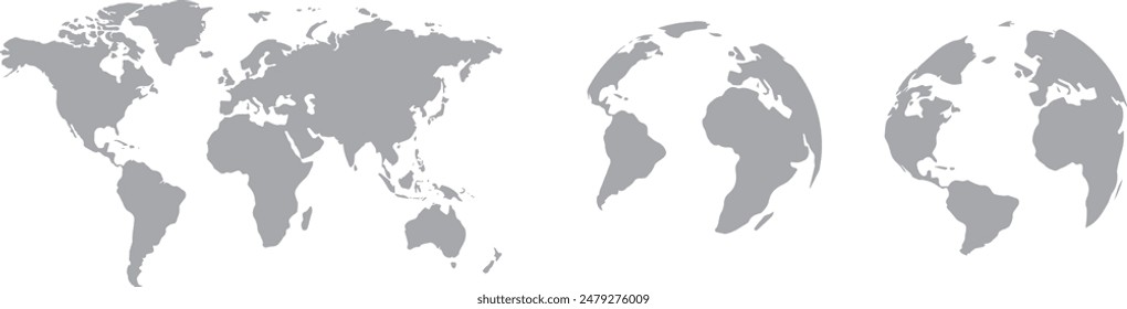
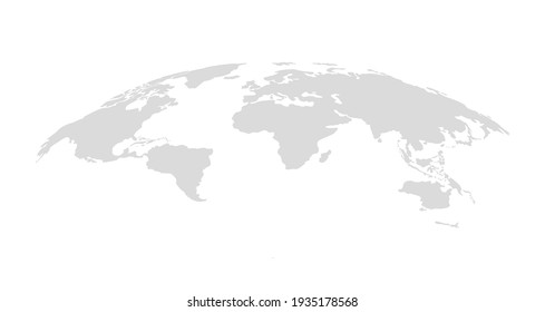
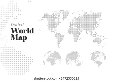
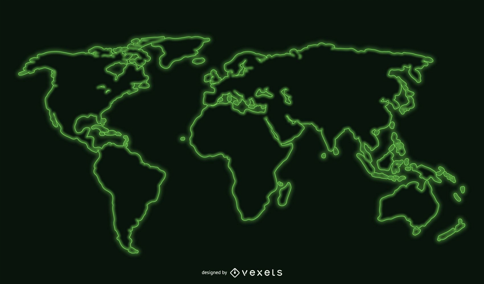
Cool World Map
Choose a folder
All favorites
Create new
Save
Cool World Map
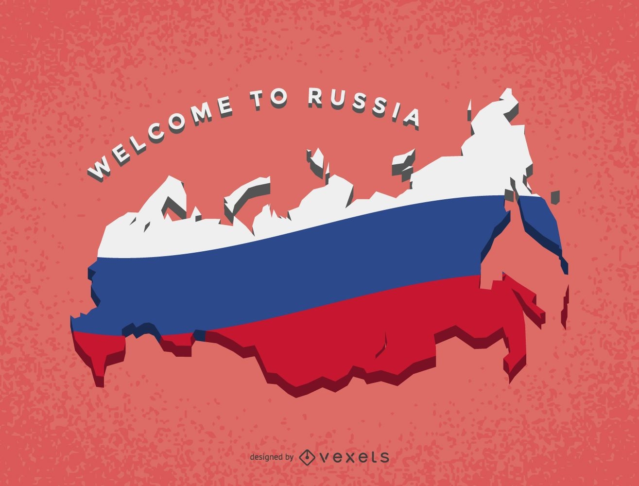
Russia map with flag
Choose a folder
All favorites
Create new
Save
Russia map with flag
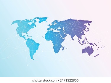
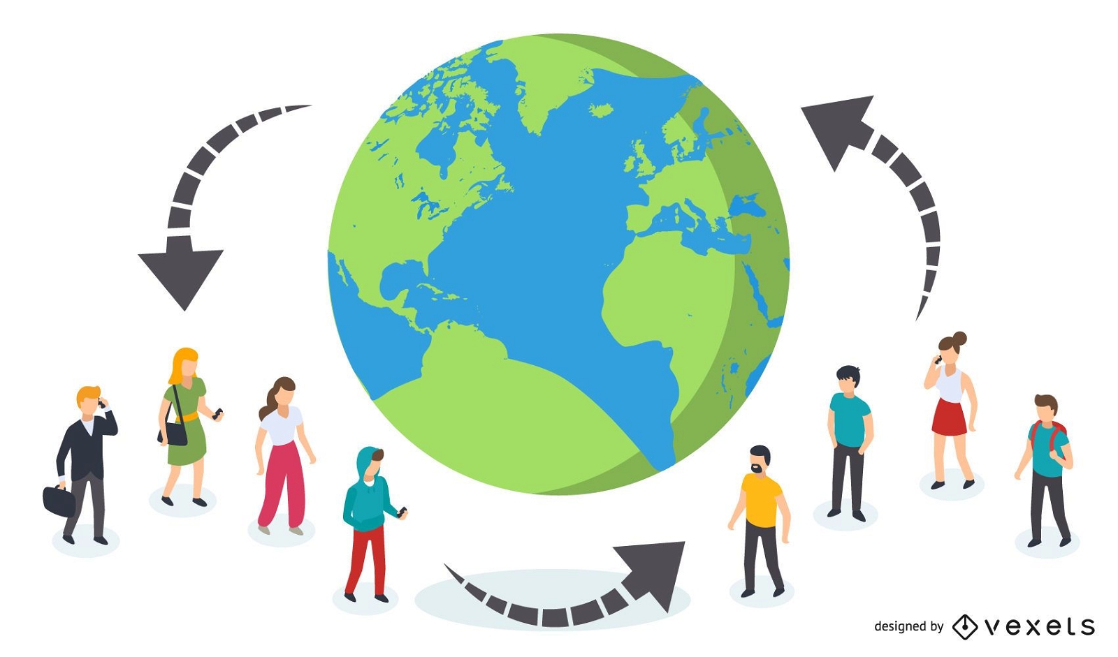
Connected People Globally
Choose a folder
All favorites
Create new
Save
Connected People Globally
Print ready
for Merch
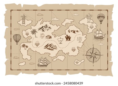
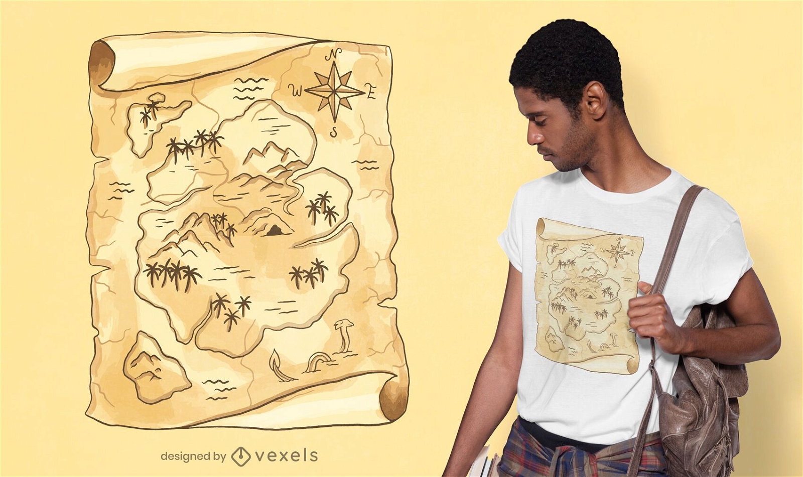
Treasure map t-shirt design
Choose a folder
All favorites
Create new
Save
Treasure map t-shirt design
German Content
Print ready
for Merch
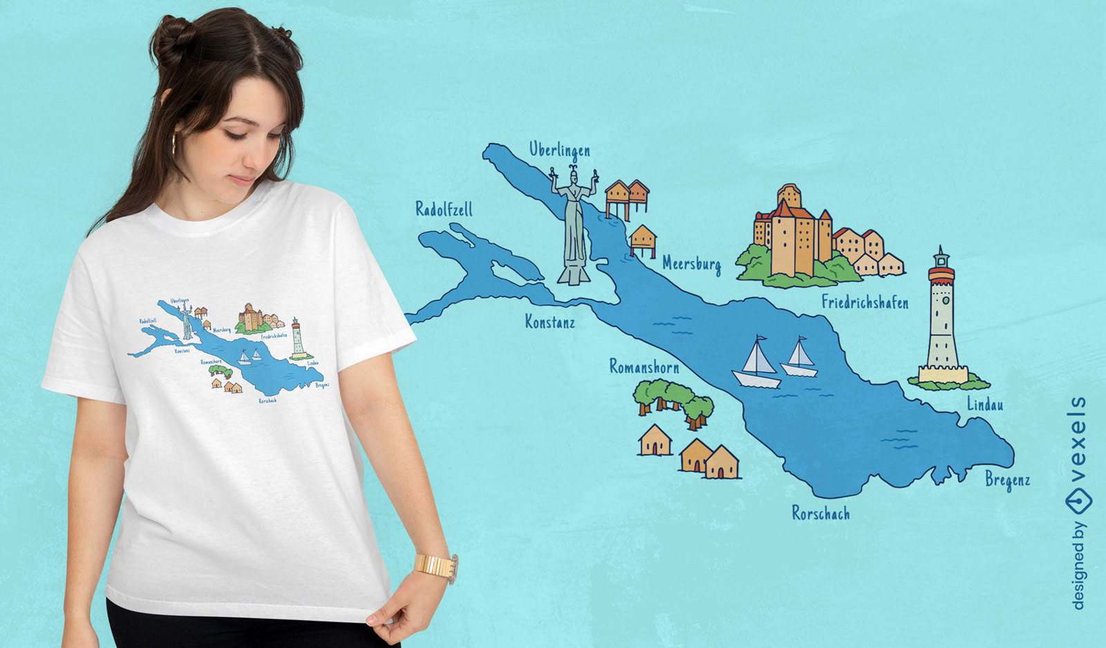
Cities around lake map t-shirt design
Choose a folder
All favorites
Create new
Save
Cities around lake map t-shirt design
Print ready
for Merch
Scotland map t-shirt design
Choose a folder
All favorites
Create new
Save
Scotland map t-shirt design
Australian map with traditional elements
Choose a folder
All favorites
Create new
Save
Australian map with traditional elements
Print ready
for Merch
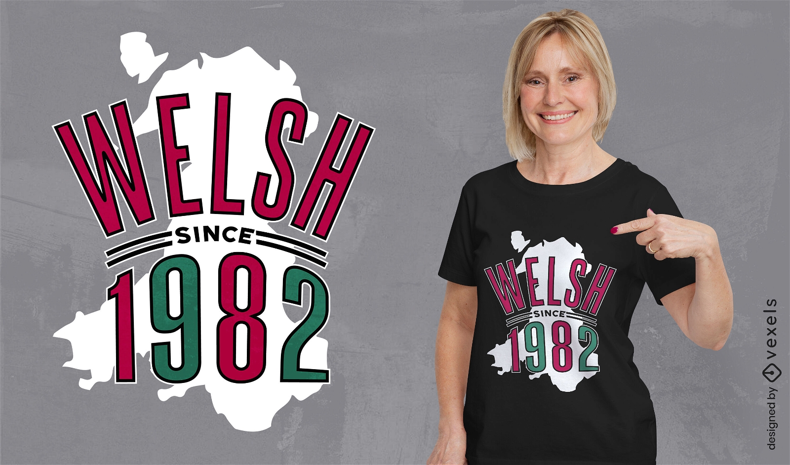
Wales country map birthday quote t-shirt design
Choose a folder
All favorites
Create new
Save
Wales country map birthday quote t-shirt design
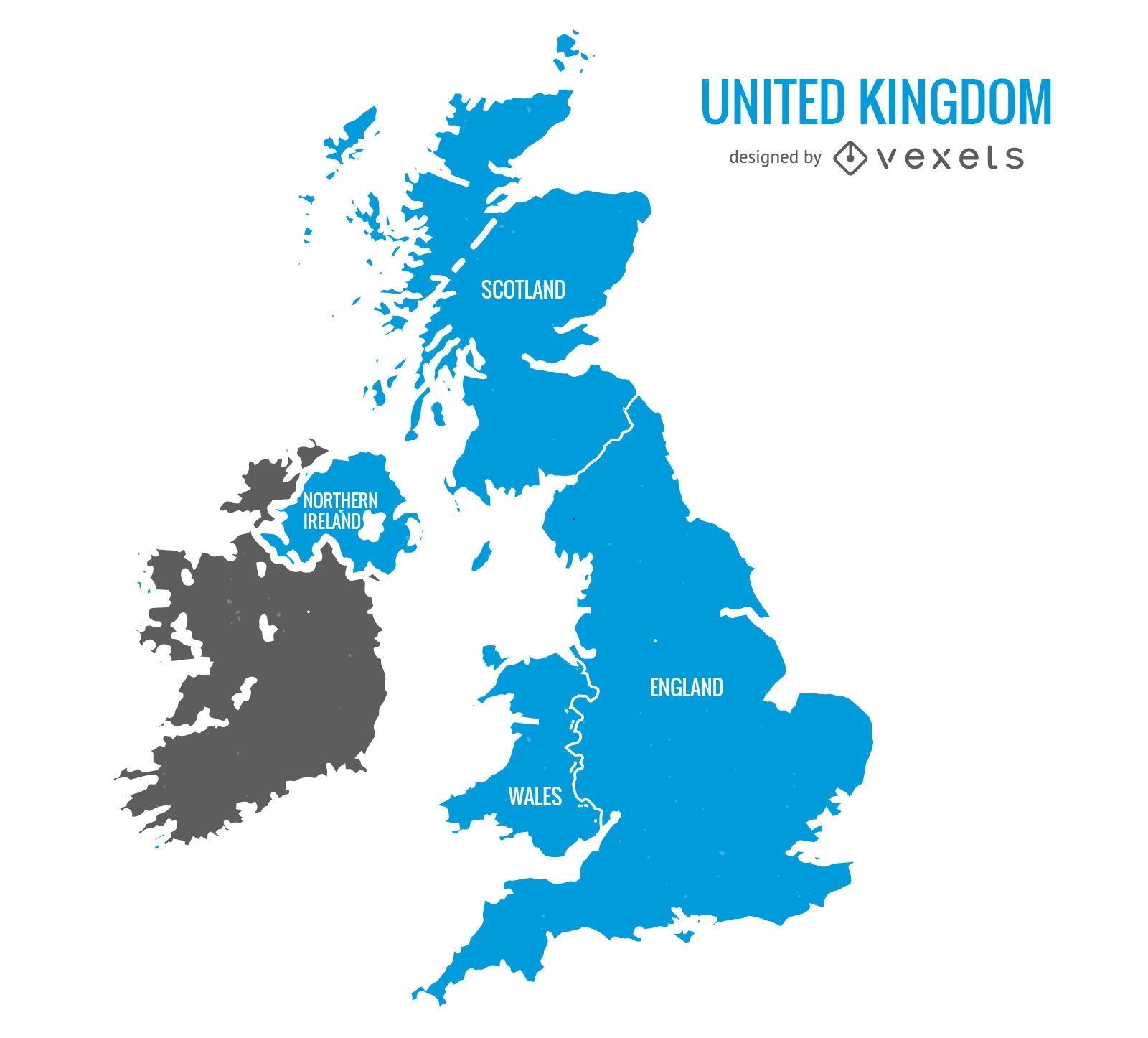
United Kingdom blue map
Choose a folder
All favorites
Create new
Save
United Kingdom blue map
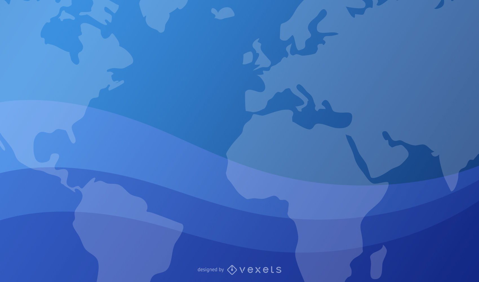
Blue Wavy Background with World Map and Planet
Choose a folder
All favorites
Create new
Save
Blue Wavy Background with World Map and Planet
Editable text
Print ready
Premium
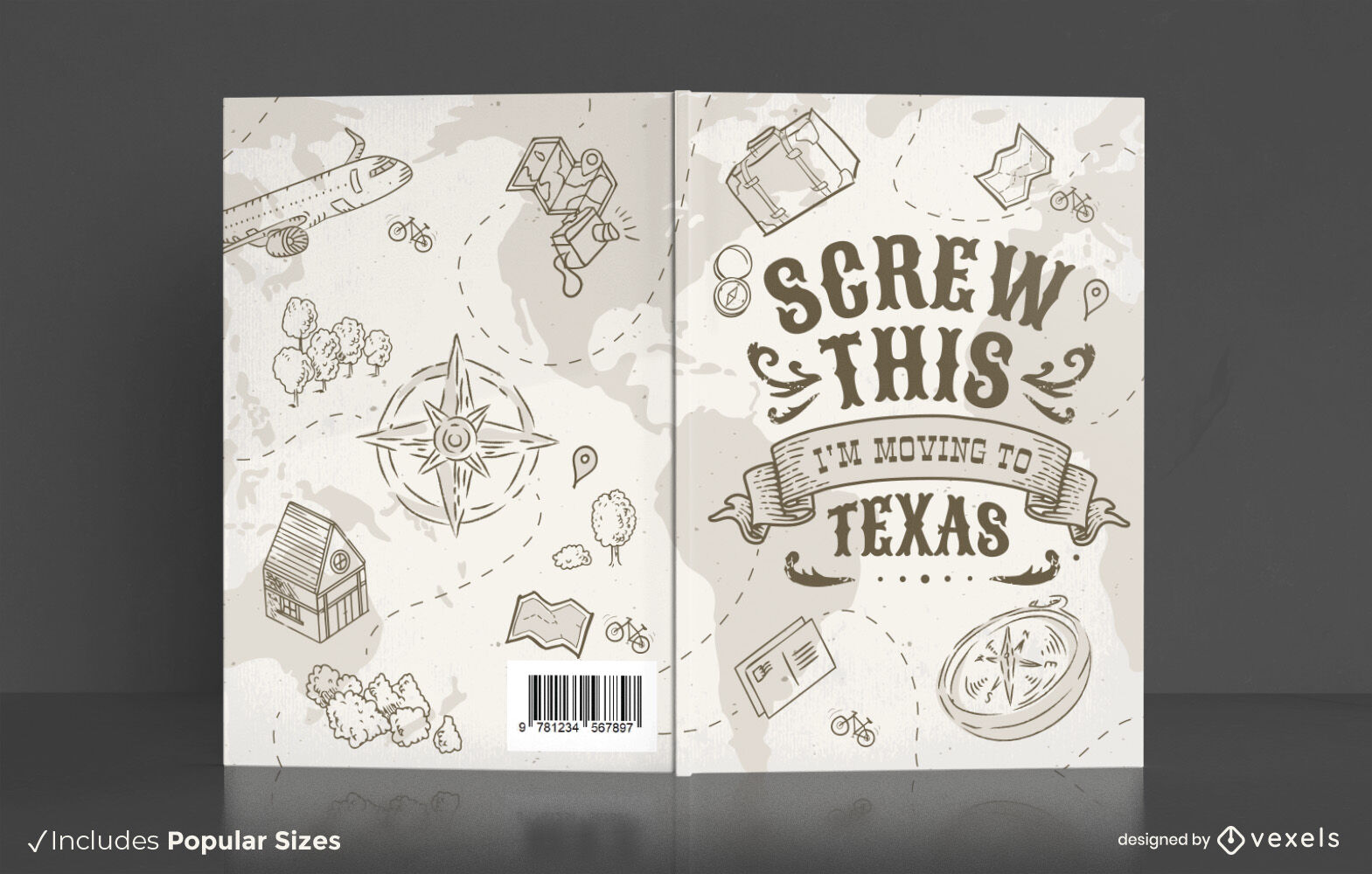
Travel texas book cover design
Choose a folder
All favorites
Create new
Save
Travel texas book cover design
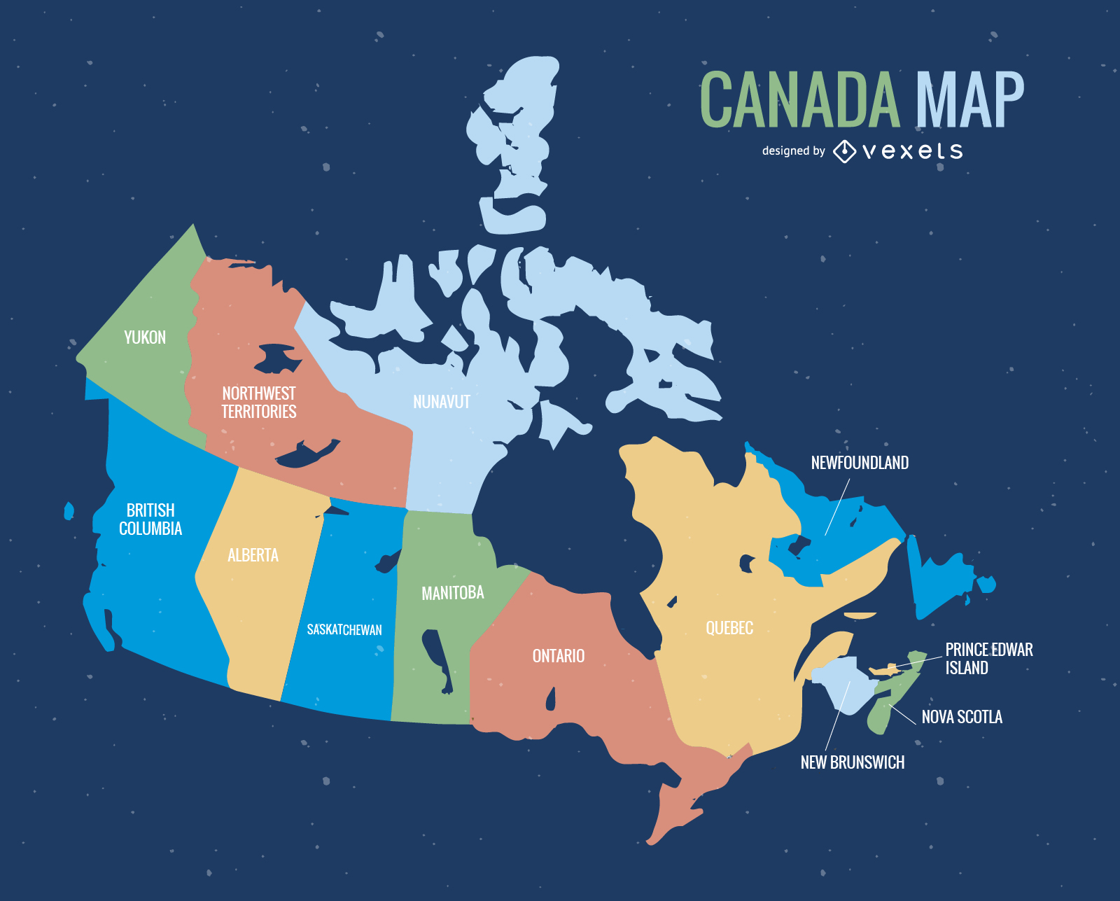
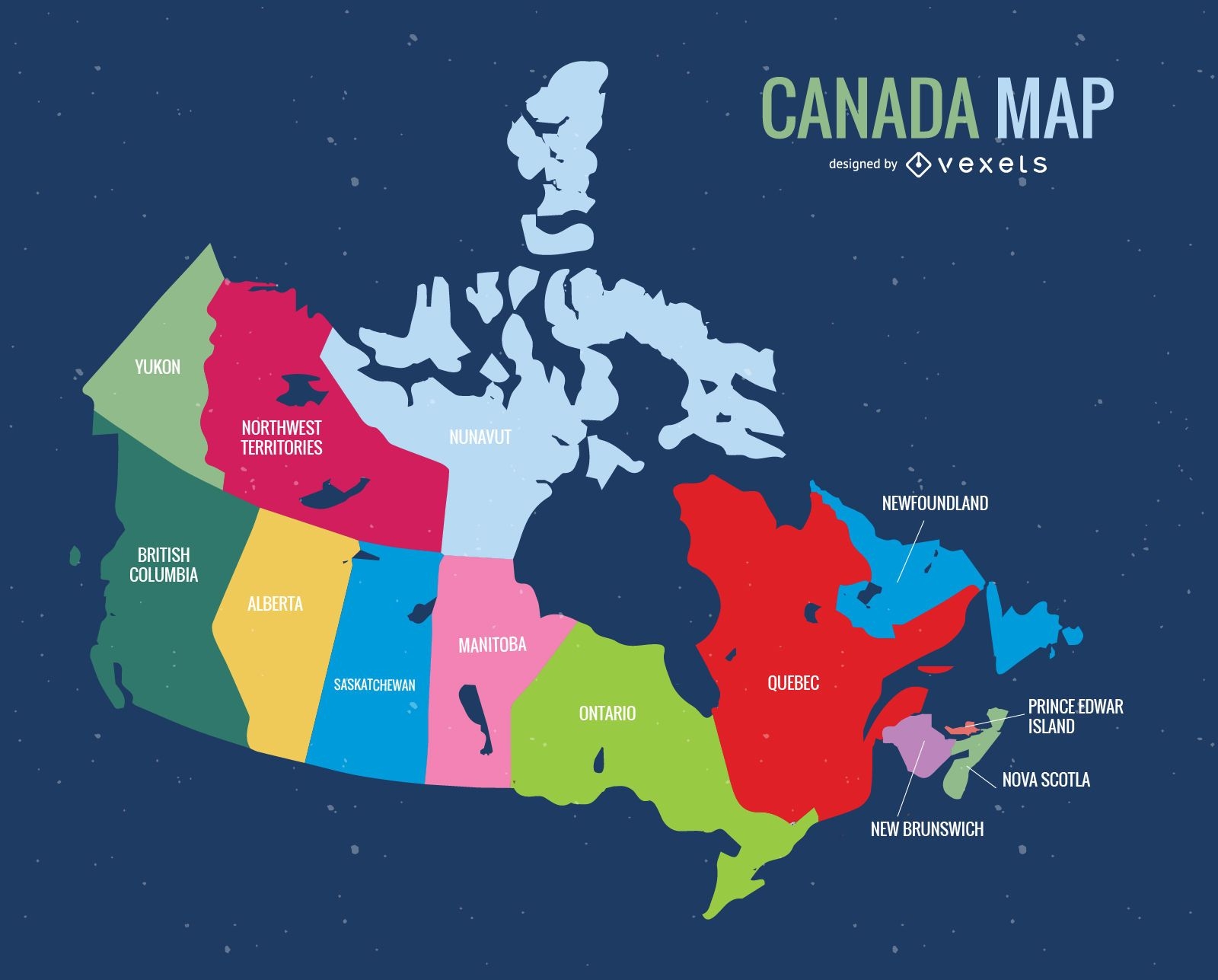
Canada Map Vector
Choose a folder
All favorites
Create new
Save
Canada Map Vector
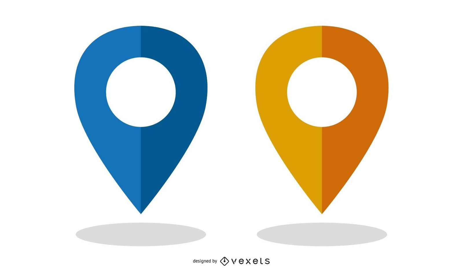
Vector Map Markers
Choose a folder
All favorites
Create new
Save
Vector Map Markers
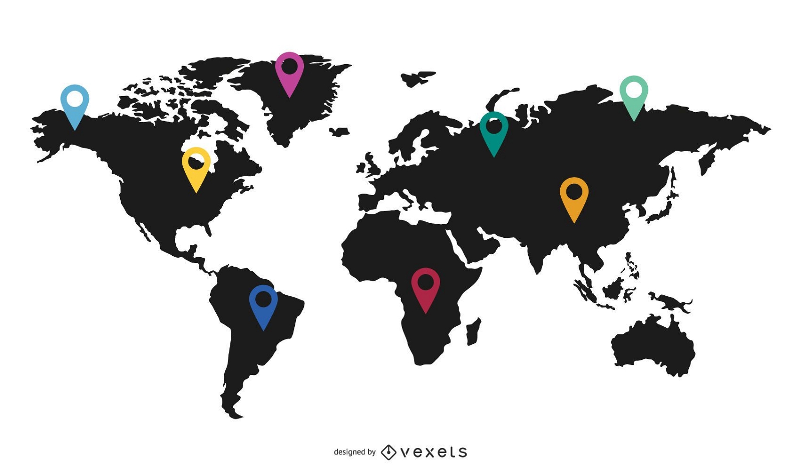
World Map with Flat Markers
Choose a folder
All favorites
Create new
Save
World Map with Flat Markers
Print ready
for Merch
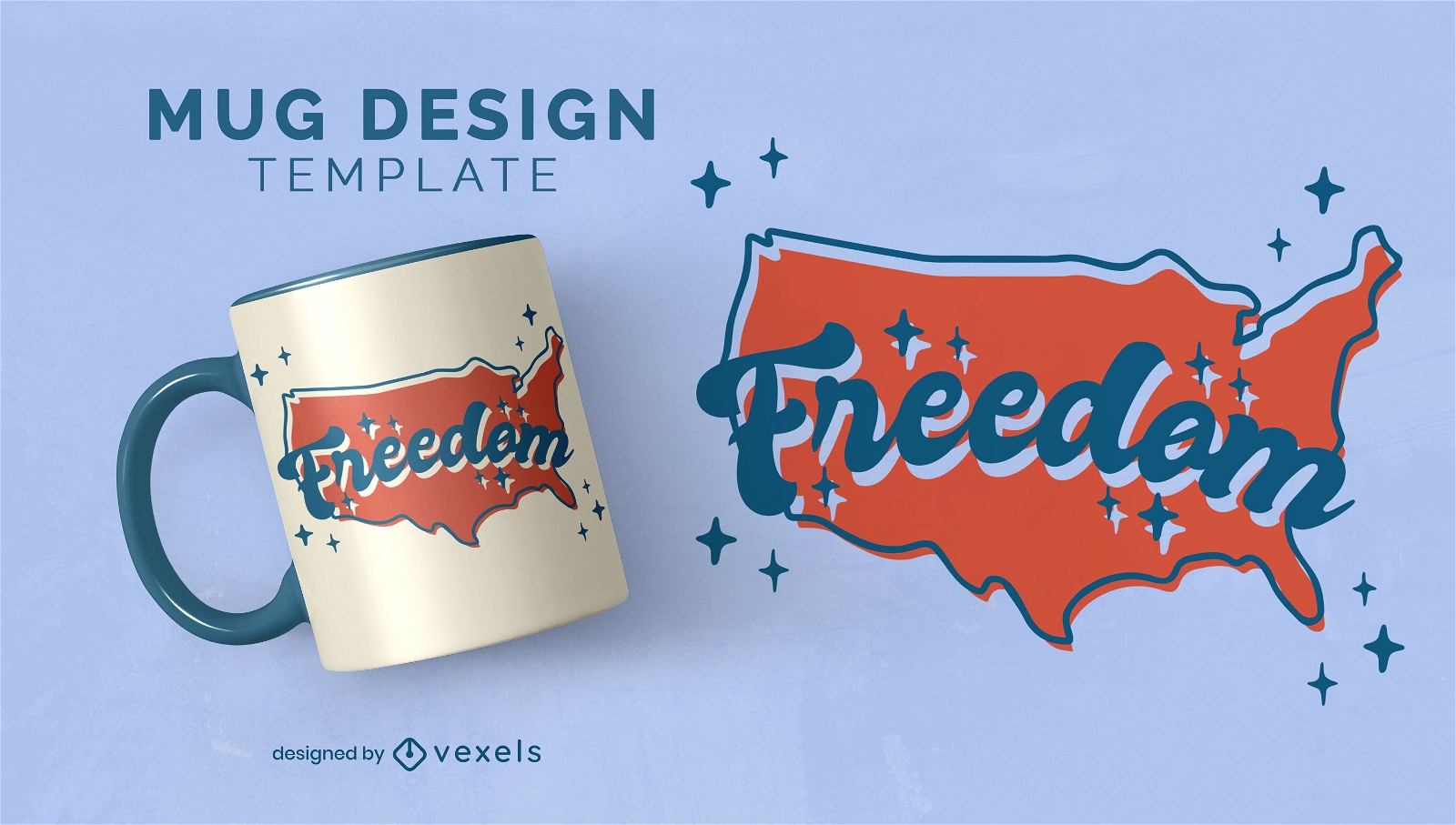
North american map freedom mug design
Choose a folder
All favorites
Create new
Save
North american map freedom mug design
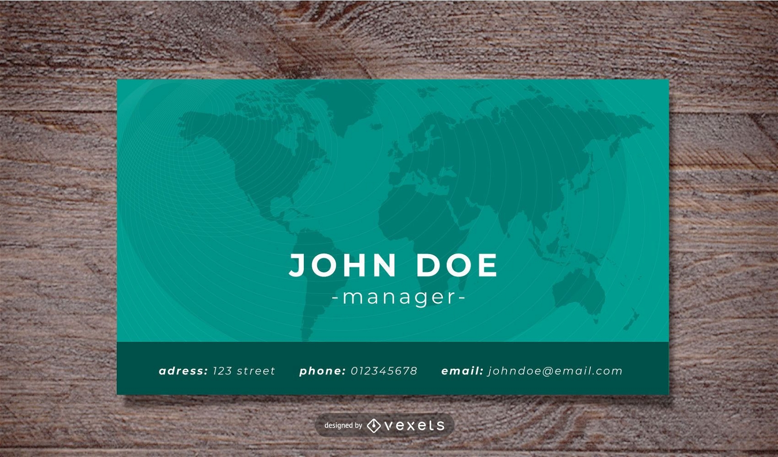
World Map Corporate Business Card Template
Choose a folder
All favorites
Create new
Save
World Map Corporate Business Card Template
Executive workers world map background
Choose a folder
All favorites
Create new
Save
Executive workers world map background
Canada Day Vector Map
Choose a folder
All favorites
Create new
Save
Canada Day Vector Map
Premium
Colorful childrens city toy carpet map
Choose a folder
All favorites
Create new
Save
Colorful childrens city toy carpet map
Australia Political Map Vector
Choose a folder
All favorites
Create new
Save
Australia Political Map Vector
Canada map with flag
Choose a folder
All favorites
Create new
Save
Canada map with flag
Hand drawn infographic elements
Choose a folder
All favorites
Create new
Save
Hand drawn infographic elements
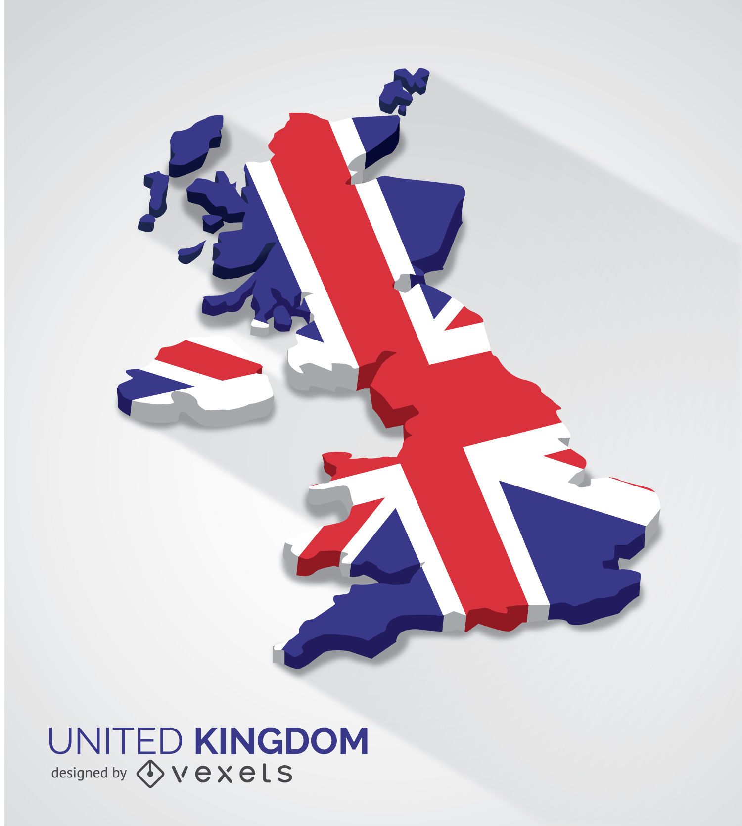
United Kingdom 3d map
Choose a folder
All favorites
Create new
Save
United Kingdom 3d map
for Merch
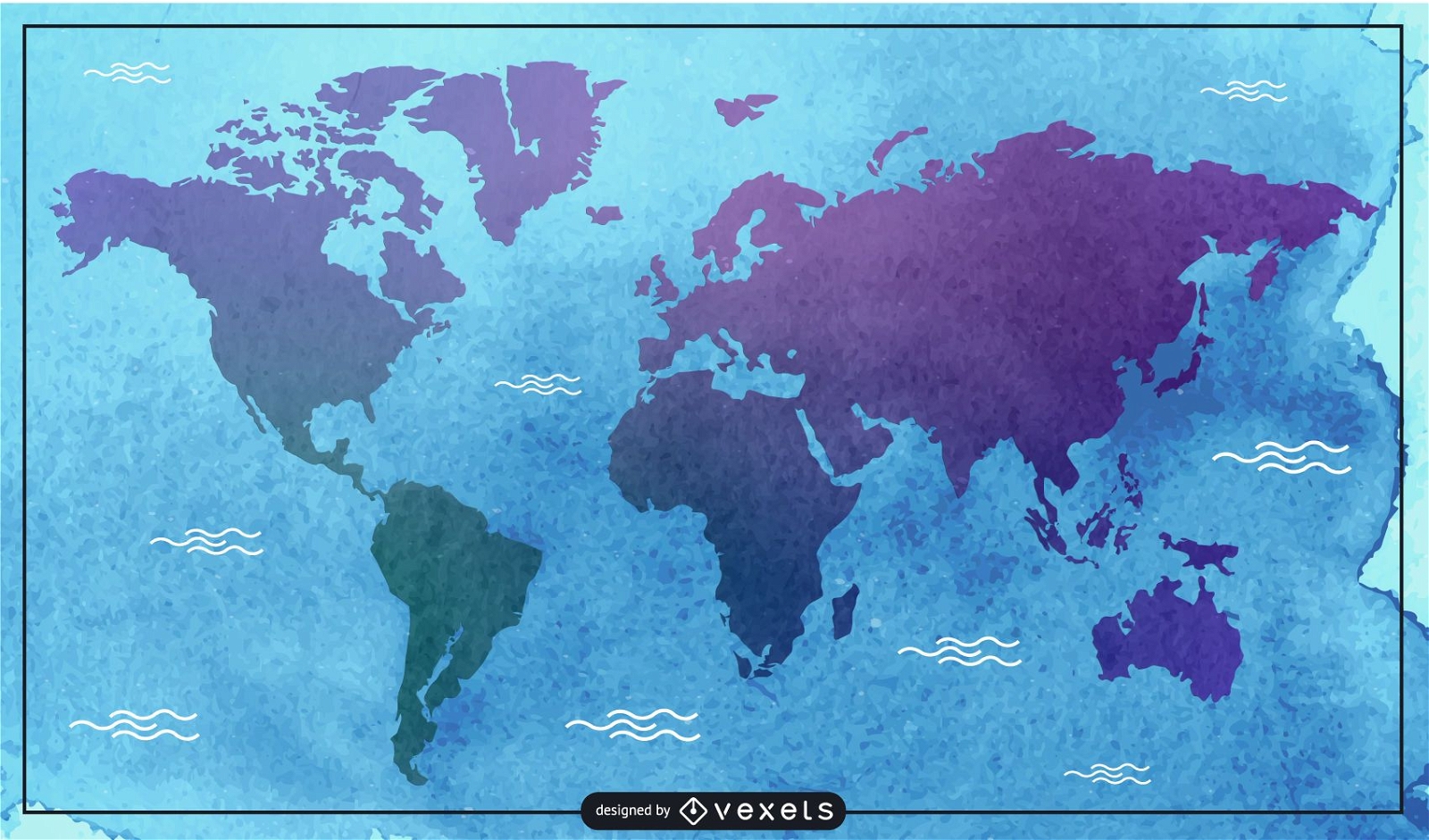
Watercolor map illustration
Choose a folder
All favorites
Create new
Save
Watercolor map illustration
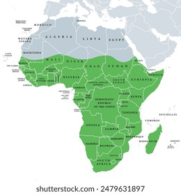
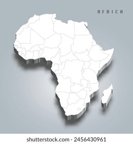
Africa Map Illustration
Choose a folder
All favorites
Create new
Save
Africa Map Illustration
Print ready
for Merch
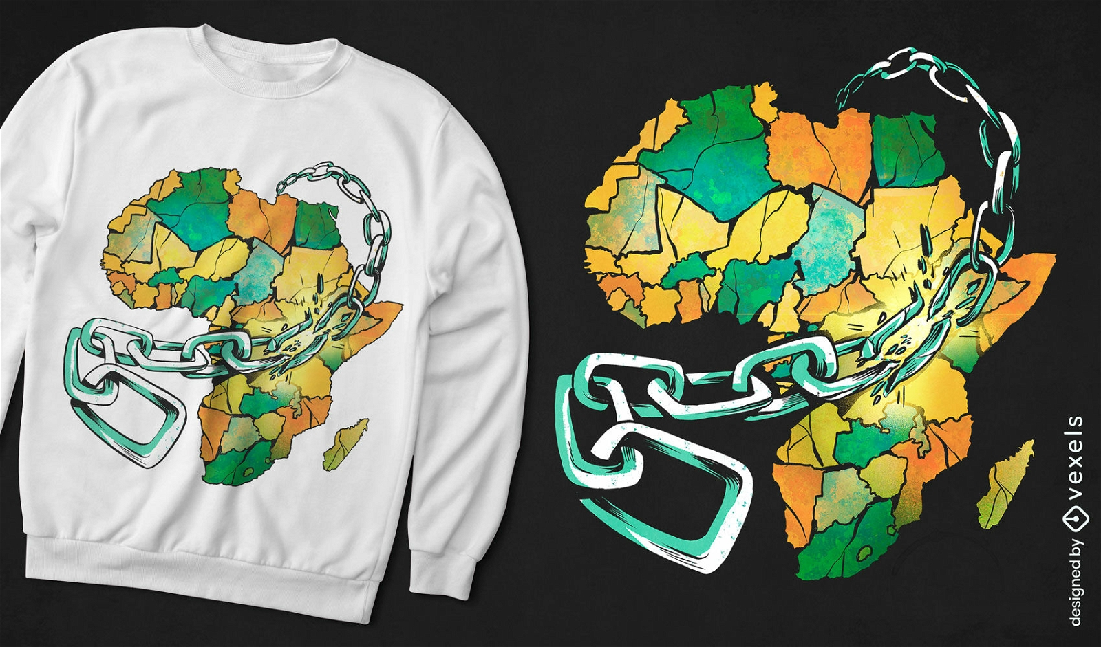
Africa map in chains t-shirt design
Choose a folder
All favorites
Create new
Save
Africa map in chains t-shirt design
Kindle Direct
Editable text
Premium
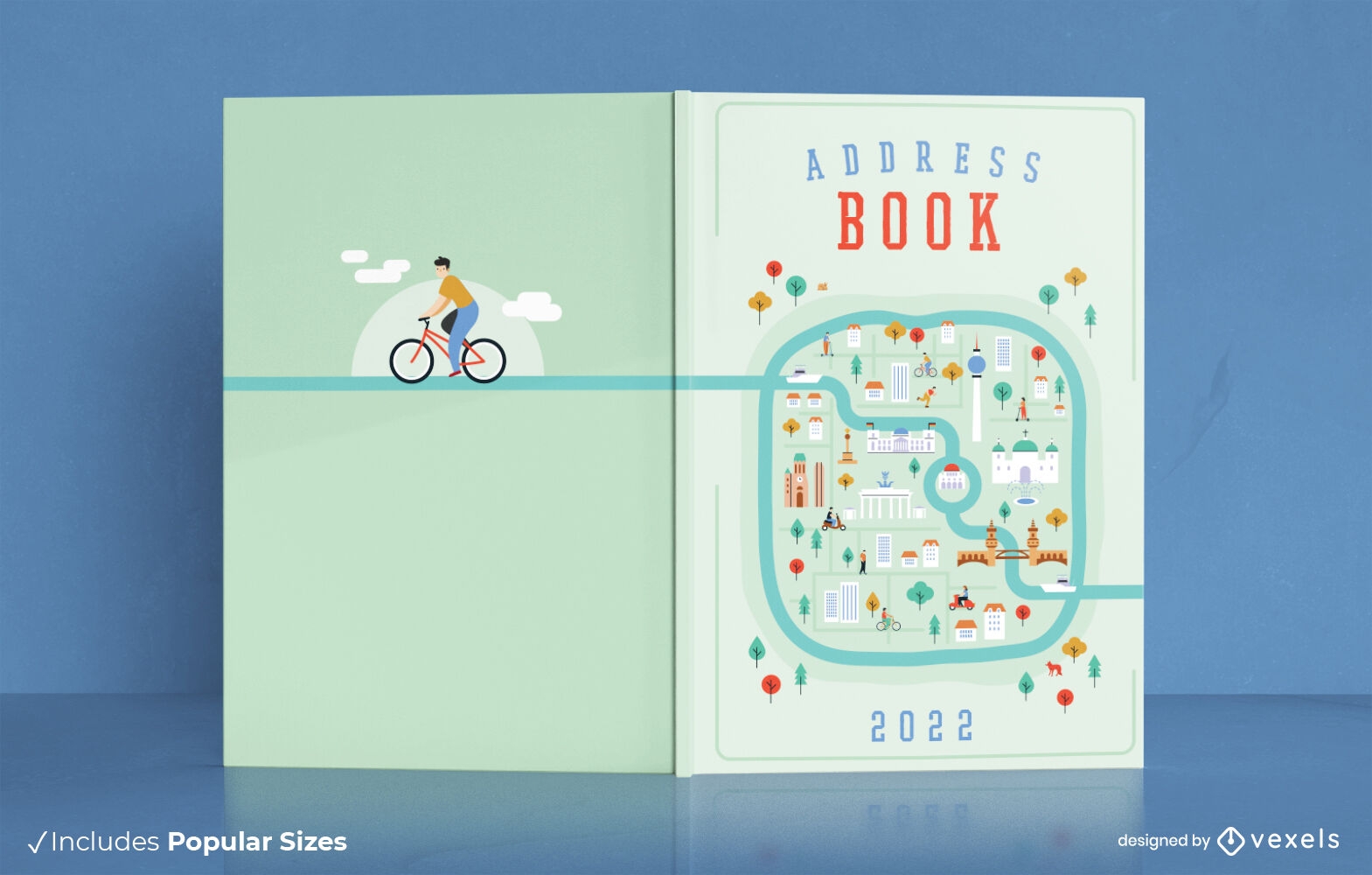
City map address book cover design
Choose a folder
All favorites
Create new
Save
City map address book cover design
Globe Pack with Map Around
Choose a folder
All favorites
Create new
Save
Globe Pack with Map Around
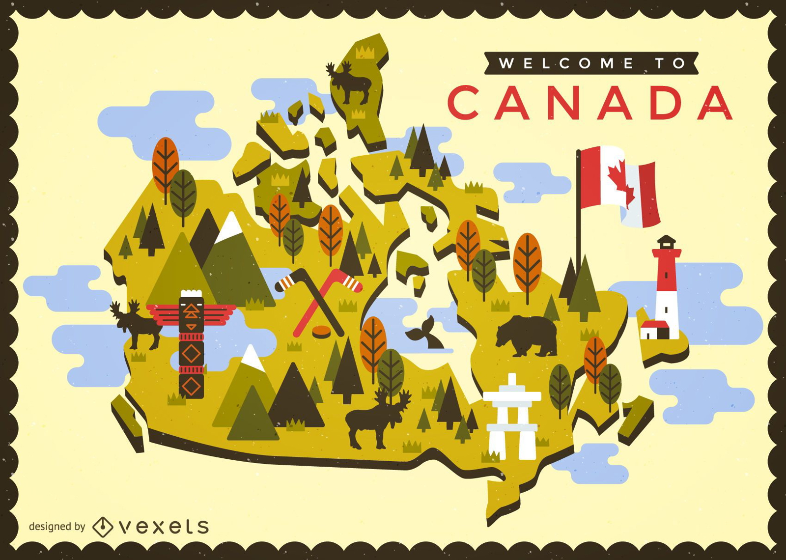
Canada map with typical elements
Choose a folder
All favorites
Create new
Save
Canada map with typical elements
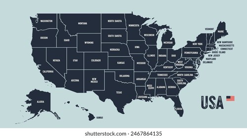
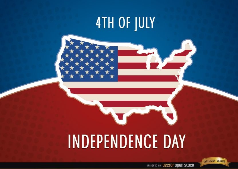
United States map flag July 4th
Choose a folder
All favorites
Create new
Save
United States map flag July 4th
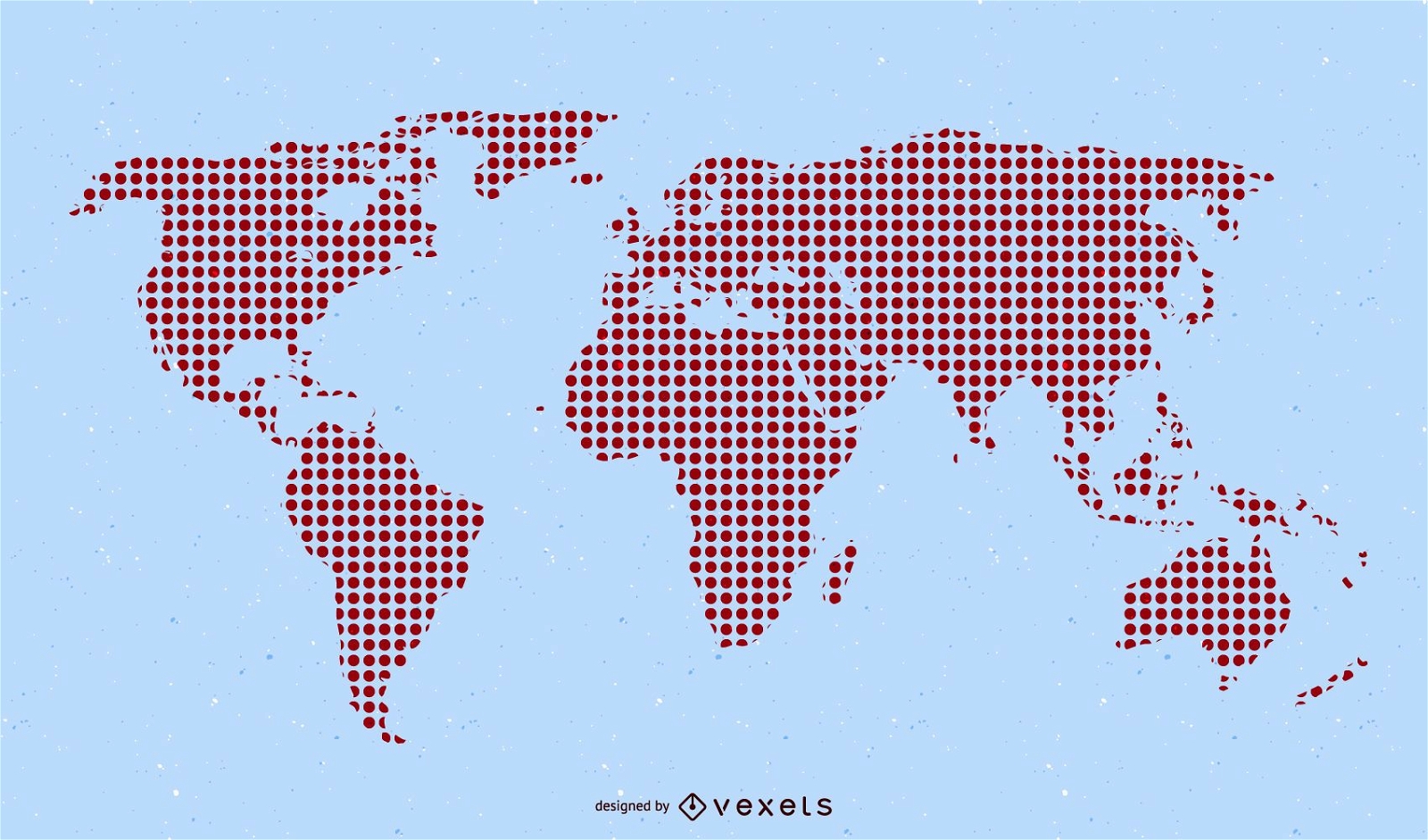
Red Pixilated World Map
Choose a folder
All favorites
Create new
Save
Red Pixilated World Map
Premium
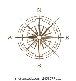
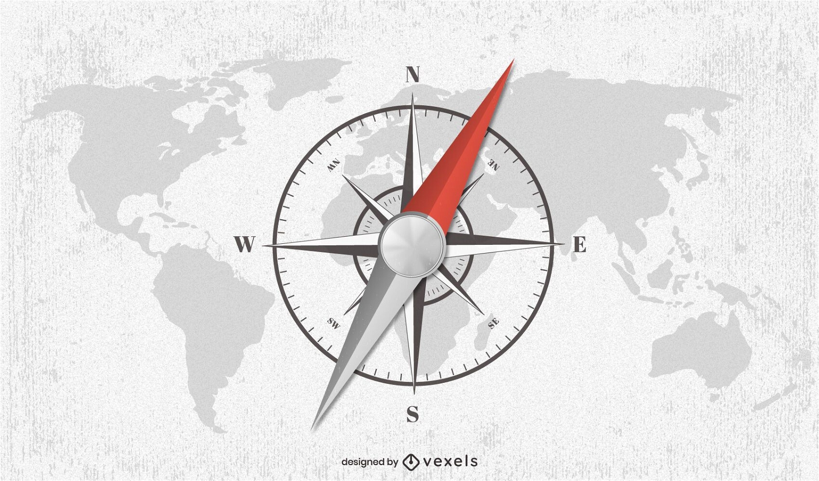
Compass world map illustration design
Choose a folder
All favorites
Create new
Save
Compass world map illustration design
Scalable PSD T-Shirt
for Merch
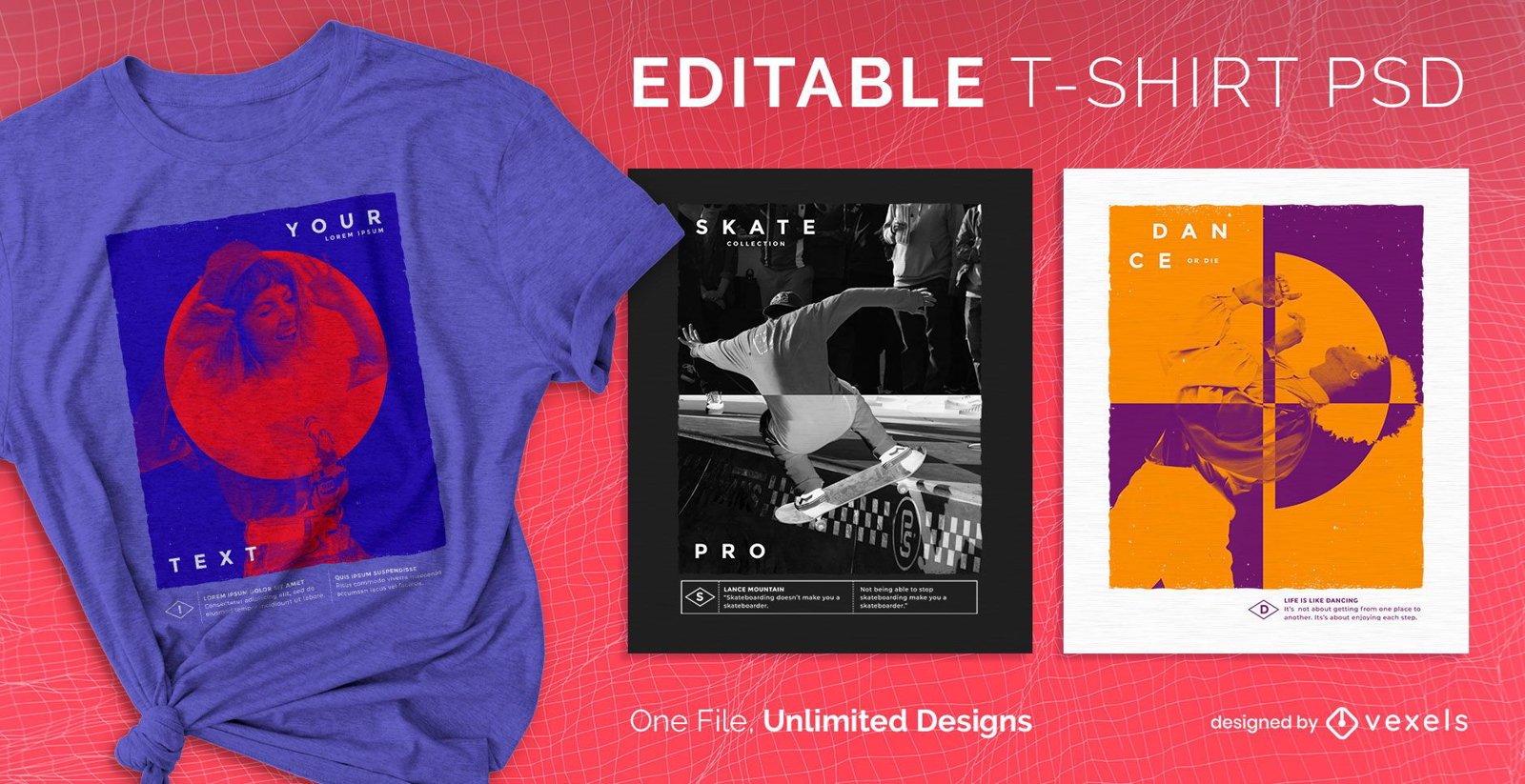
Gradient map scalable t-shirt psd
Choose a folder
All favorites
Create new
Save
Gradient map scalable t-shirt psd
Premium
Map Location marker PNG Design
Choose a folder
All favorites
Create new
Save
Map Location marker PNG Design
Boost Your Business
With The Leading Graphic Platform For Merch.
SEE PLANS
Next
of 14
prev page
next page