Design Library
Explore Designs
New Merch Designs
Trending Merch Designs
Vectors
PNGs & SVGs
Mockups
T-Shirts
T-Shirt PSD Templates
KDP Designs
Phone Cases
Pillows
Tote Bags
Posters
Mugs
Design Tools
Designer
New!
T-shirt Maker
Mockup Generator
Quote Generator
Logo Maker
Resources
Merch Digest
Blog
Help Center
Creators Program
Learn About Merch
Changelog
Pricing
Loading...
Sign Up
Login
All
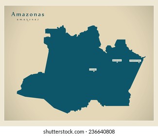
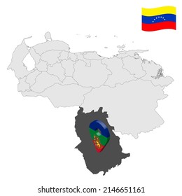
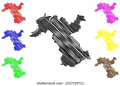
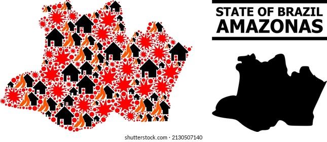
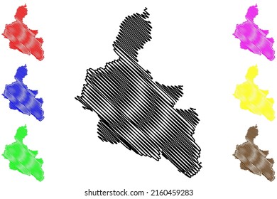
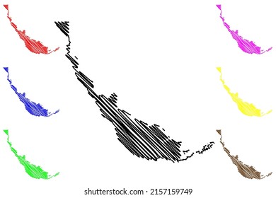
amazonas
Design Library
Explore Designs
New Merch Designs
Trending Merch Designs
Vectors
PNGs & SVGs
Mockups
T-Shirts
T-Shirt PSD Templates
KDP Designs
Phone Cases
Pillows
Tote Bags
Posters
Mugs
Design Tools
Designer
New!
T-shirt Maker
Mockup Generator
Quote Generator
Logo Maker
Resources
Merch Digest
Blog
Help Center
Creators Program
Learn About Merch
Changelog
PLANS
All
amazonas
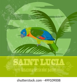
1153 amazonas designs graphics for t-shirt and print on demand merch
Download amazonas t-shirt designs and other merch graphics like book covers, phone cases, tote bags and more.
Sort by
Most relevant
Sponsored results by
Get 15% off with code: VEXELS15
Show more
Print ready
for Merch
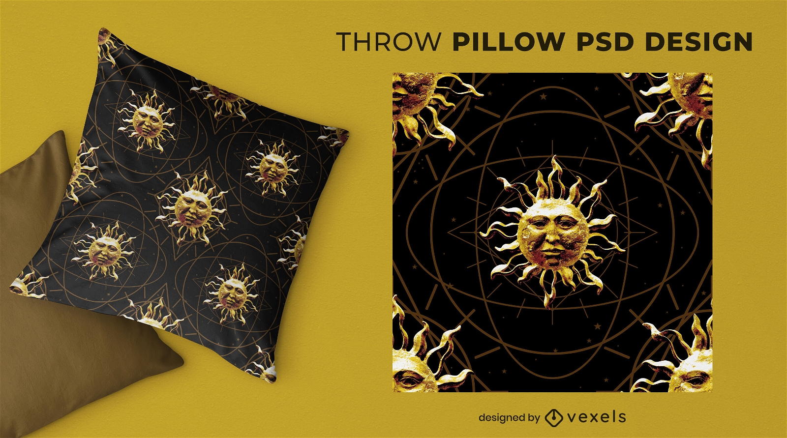
Stone sun throw pillow design
Choose a folder
All favorites
Create new
Save
Stone sun throw pillow design
Print ready
for Merch
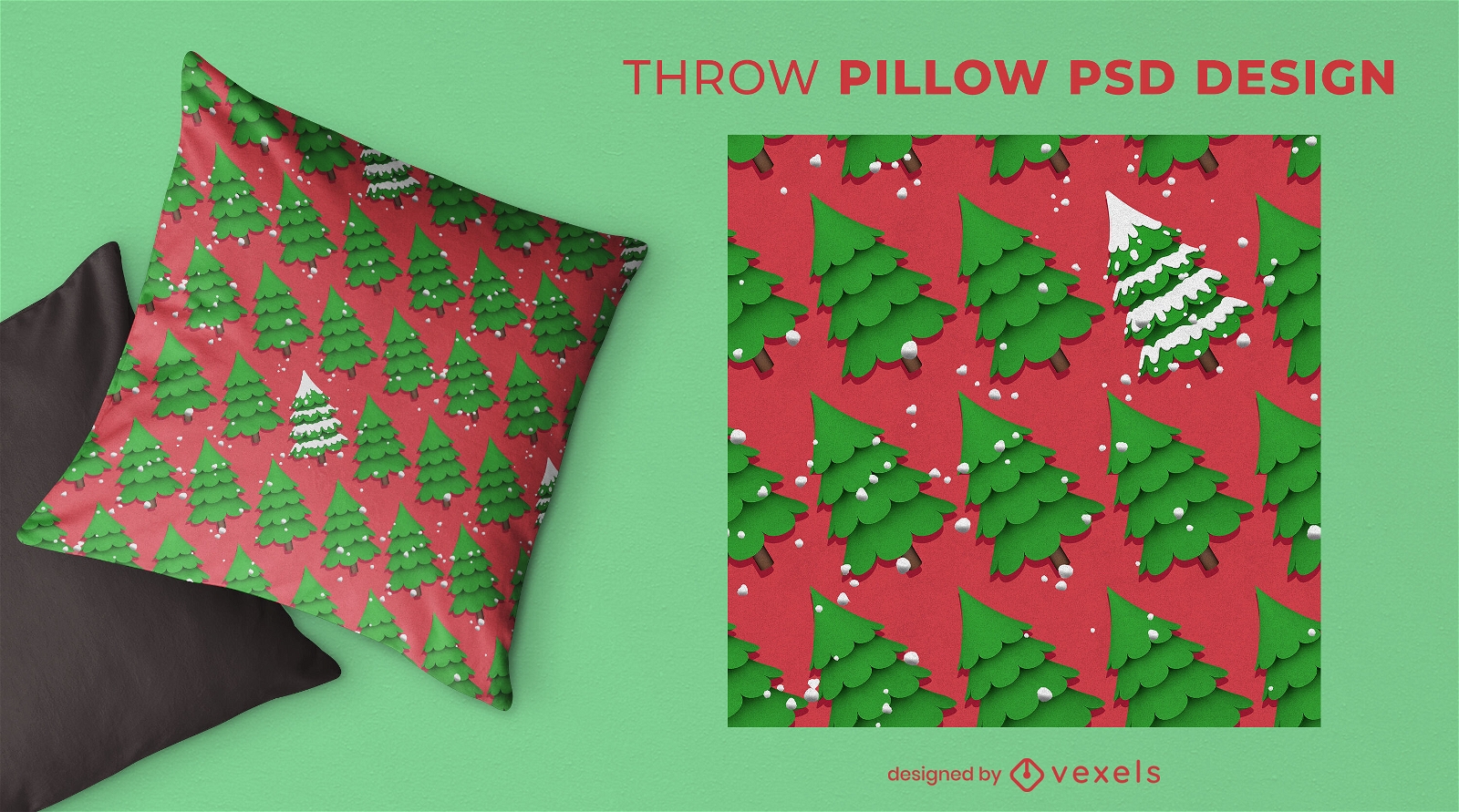
Christmas trees PSD throw pillow design
Choose a folder
All favorites
Create new
Save
Christmas trees PSD throw pillow design
Print ready
for Merch
Oktoberfest beer icons throw pillow design
Choose a folder
All favorites
Create new
Save
Oktoberfest beer icons throw pillow design
Print ready
for Merch
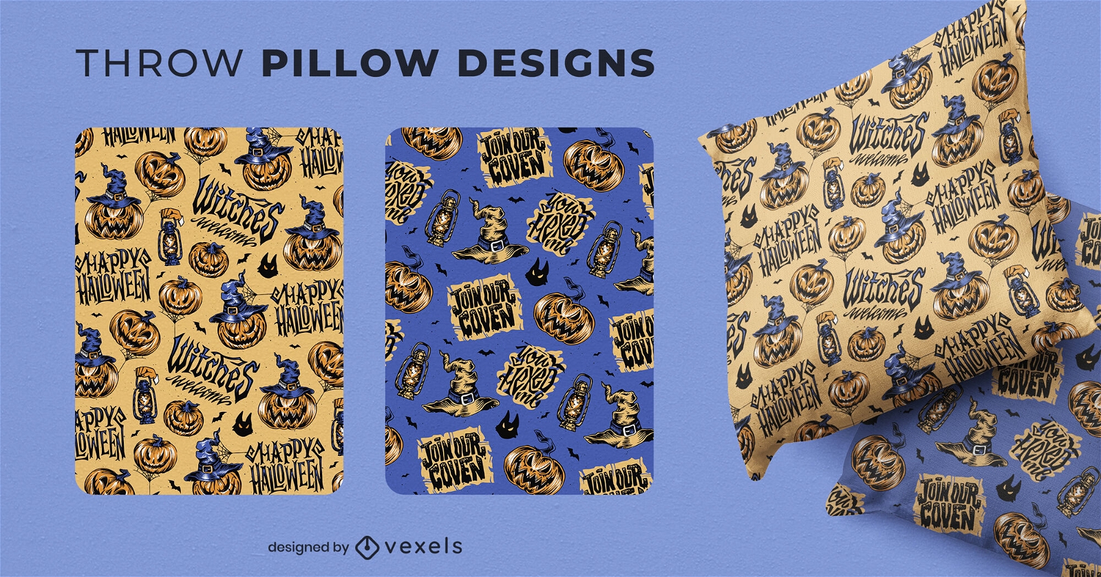
Halloween jack o lanterns throw pillow design
Choose a folder
All favorites
Create new
Save
Halloween jack o lanterns throw pillow design
Print ready
for Merch
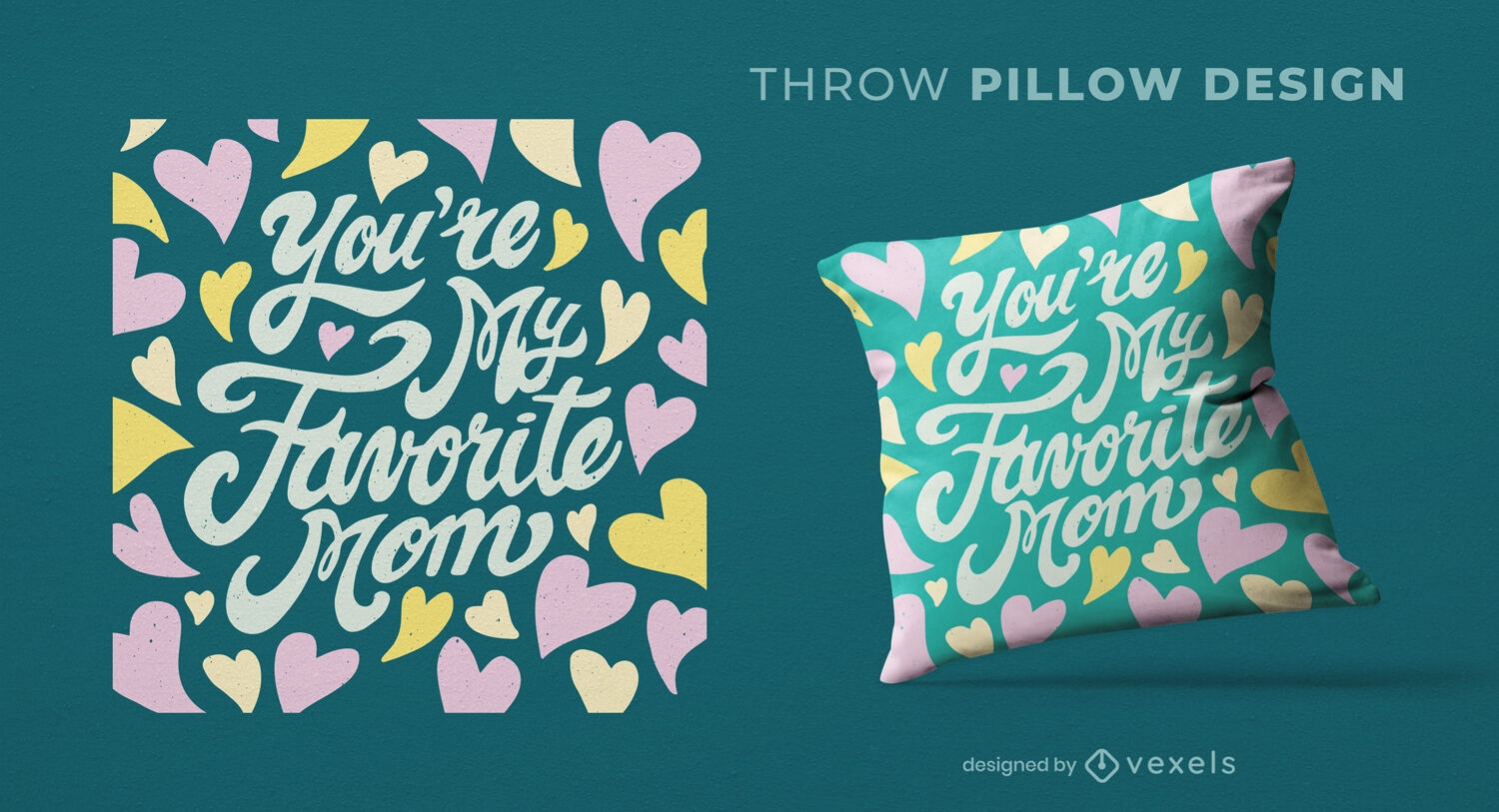
Favorite mom heart throw pillow design
Choose a folder
All favorites
Create new
Save
Favorite mom heart throw pillow design
Print ready
for Merch
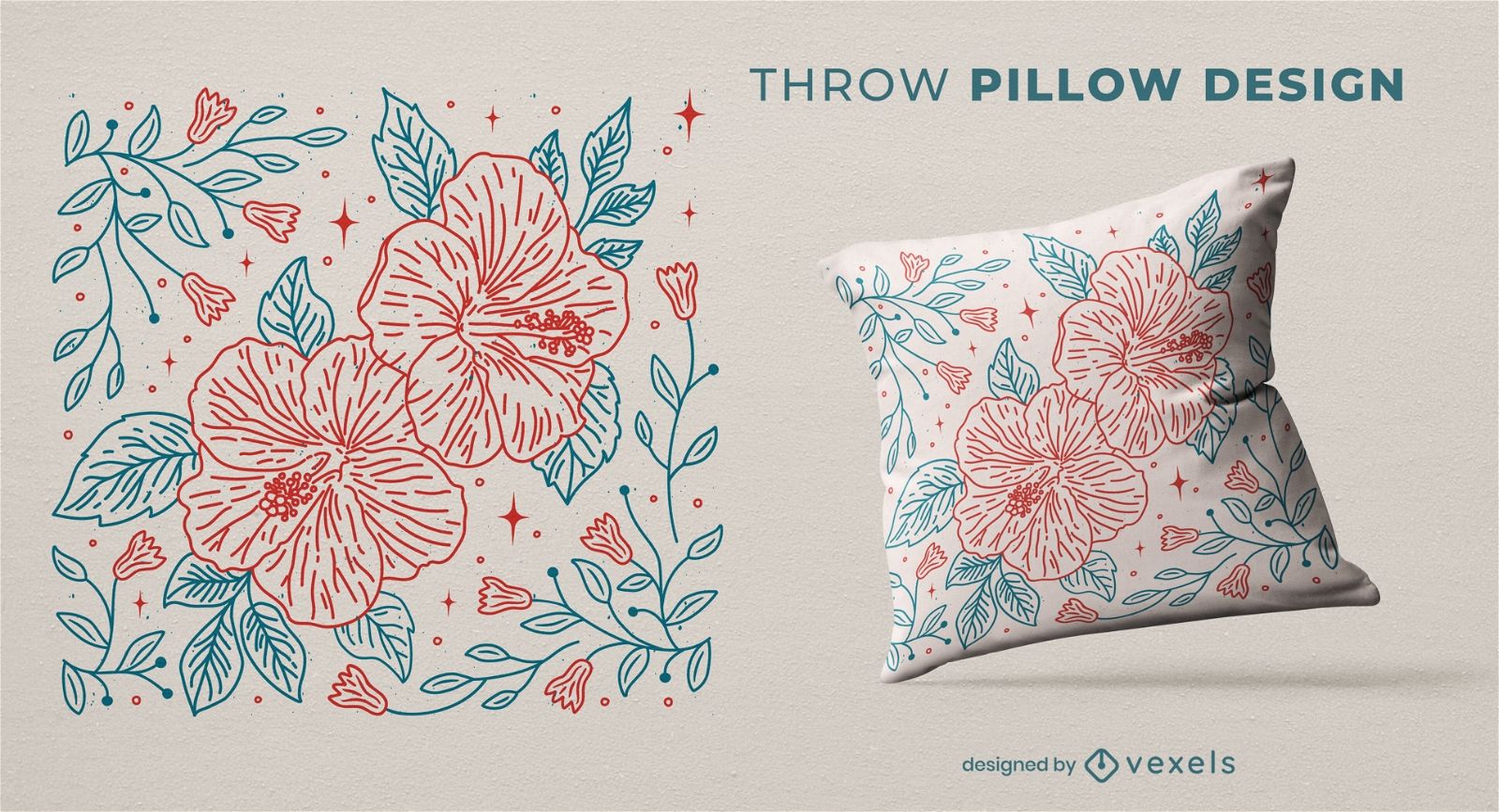
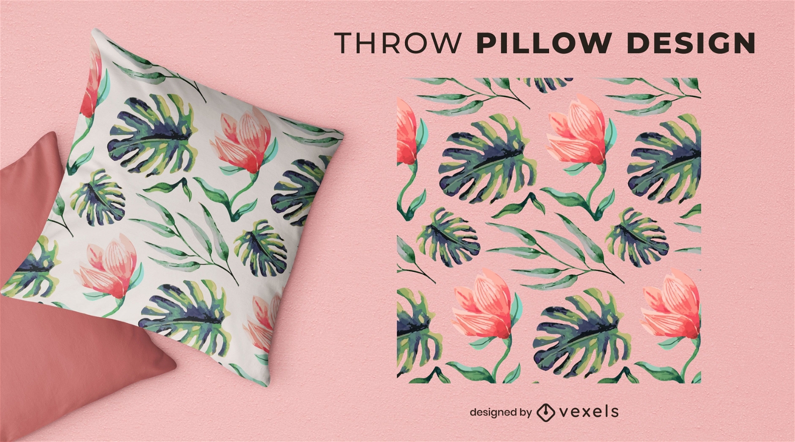
Flowers and leaves nature throw pillow design
Choose a folder
All favorites
Create new
Save
Flowers and leaves nature throw pillow design
Print ready
for Merch
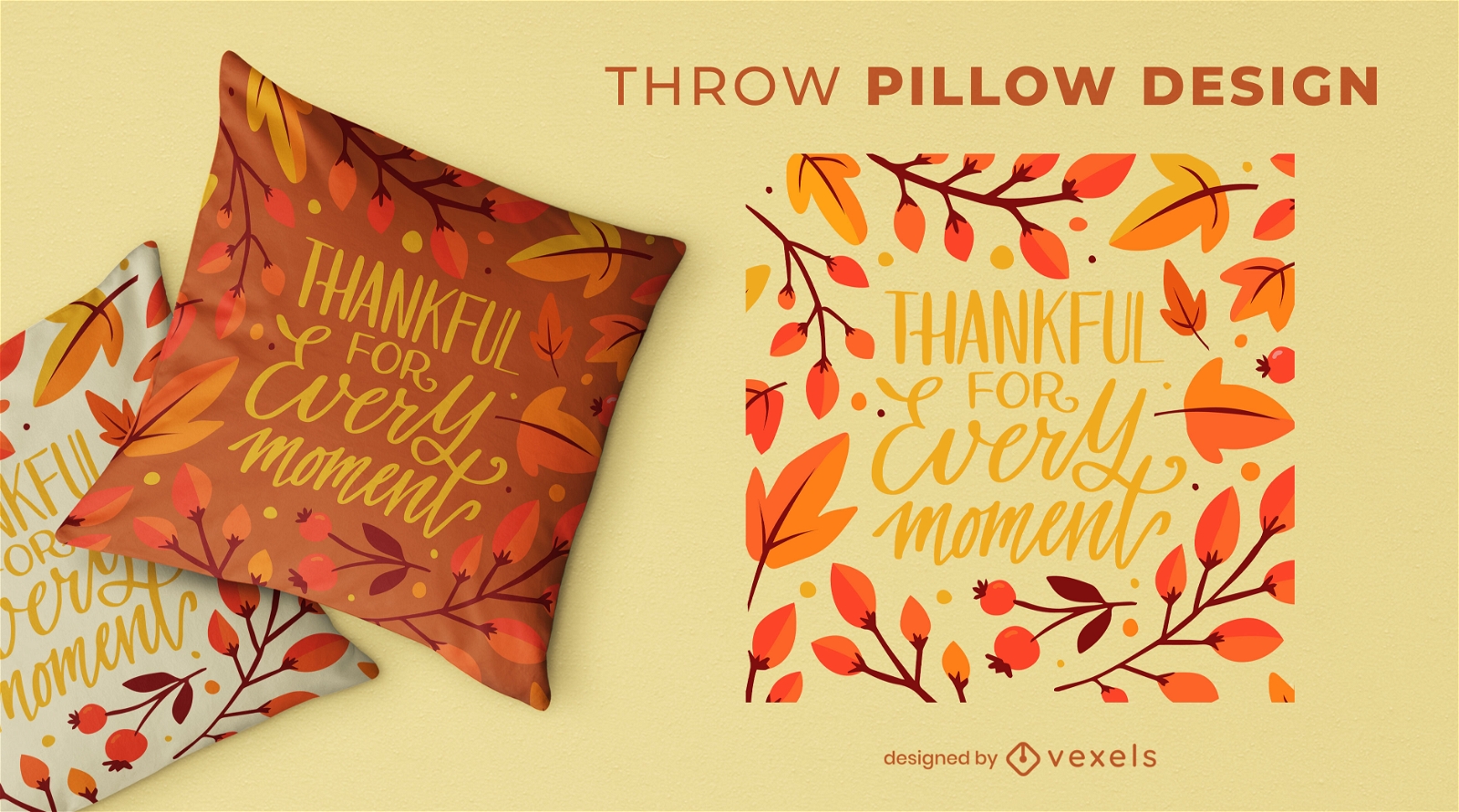
Thanksgiving lettering throw pillow design
Choose a folder
All favorites
Create new
Save
Thanksgiving lettering throw pillow design
Print ready
for Merch
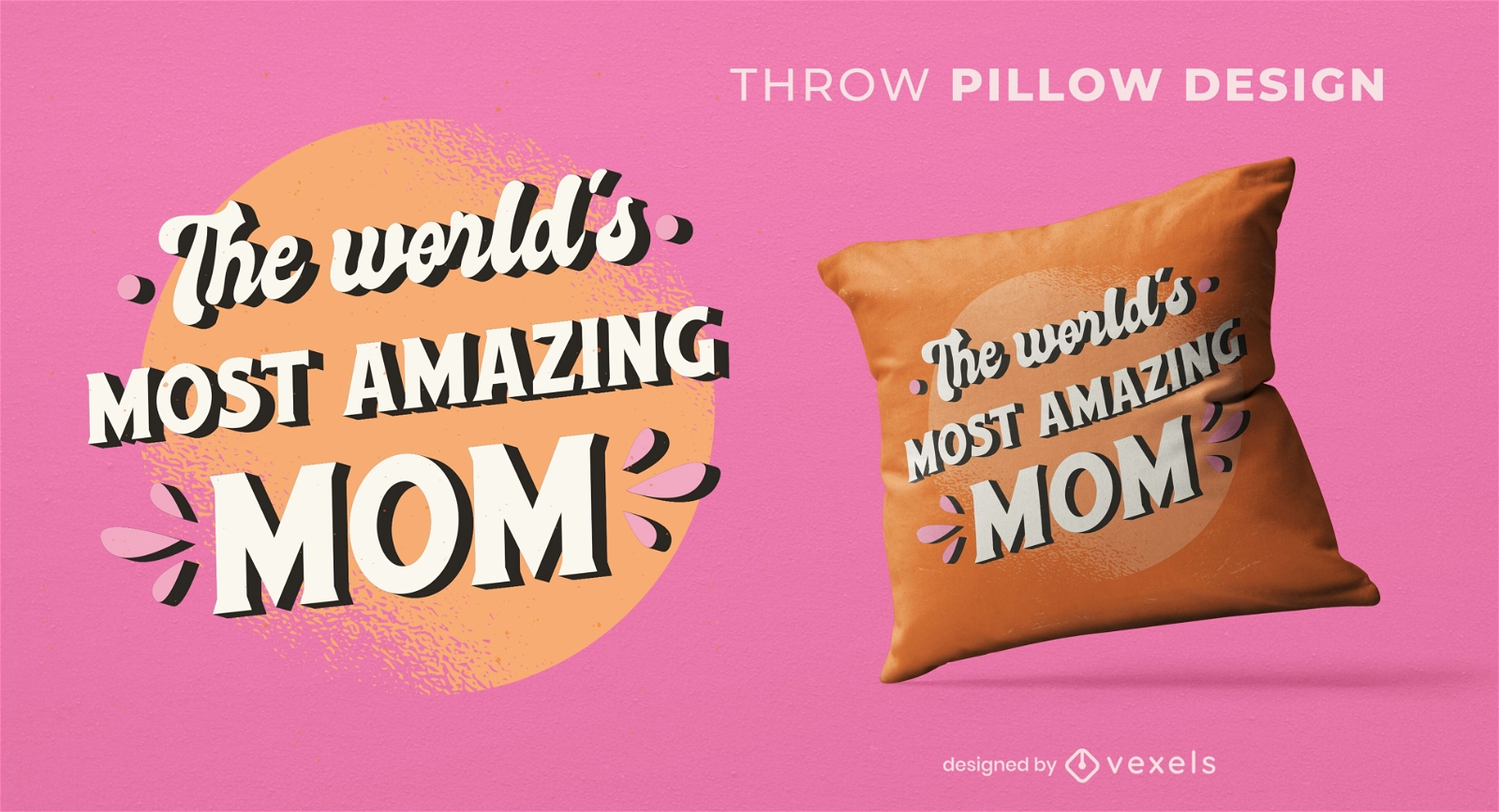
Most amazing mom throw pillow design
Choose a folder
All favorites
Create new
Save
Most amazing mom throw pillow design
Print ready
for Merch
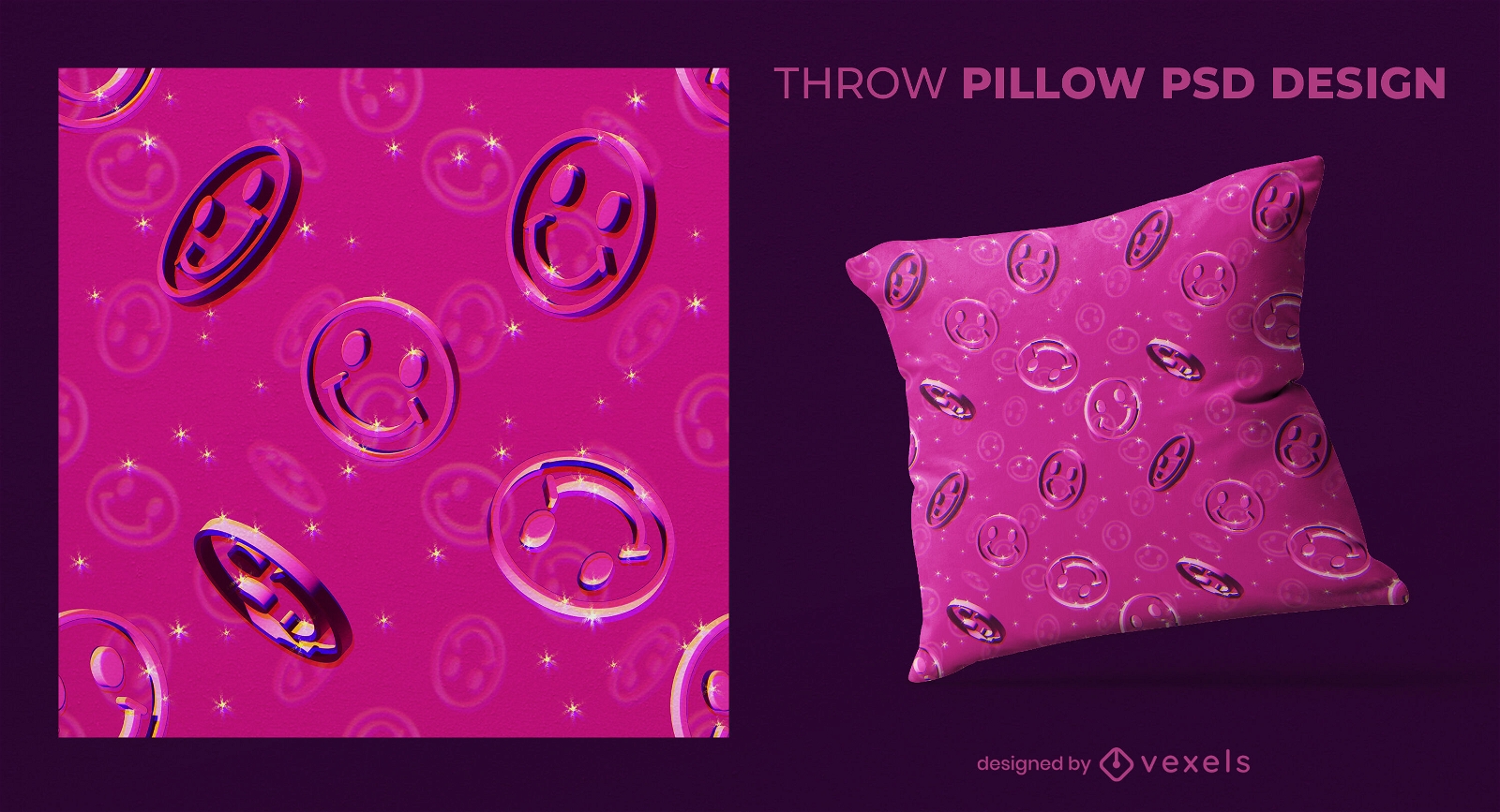
Shiny smiley faces 3D throw pillow design
Choose a folder
All favorites
Create new
Save
Shiny smiley faces 3D throw pillow design
Print ready
for Merch
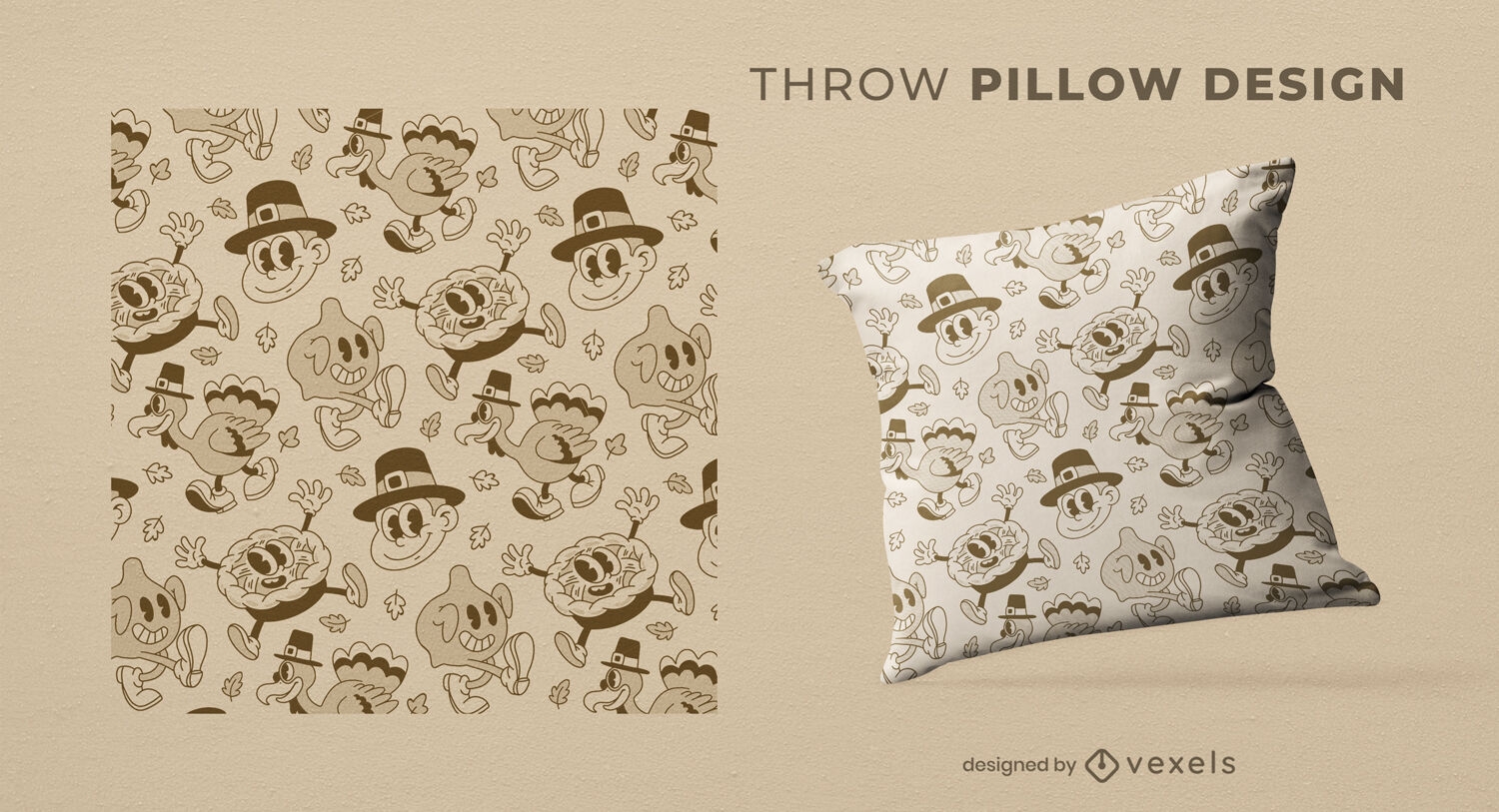
Thanksgiving retro cartoons throw pillow design
Choose a folder
All favorites
Create new
Save
Thanksgiving retro cartoons throw pillow design
Print ready
for Merch
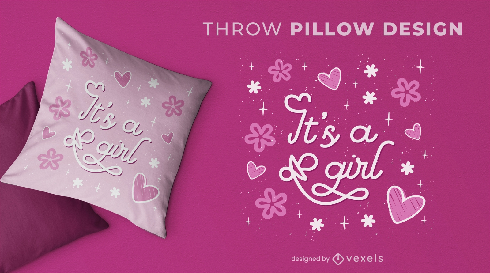
Baby girl gender reveal throw pillow design
Choose a folder
All favorites
Create new
Save
Baby girl gender reveal throw pillow design
Print ready
for Merch
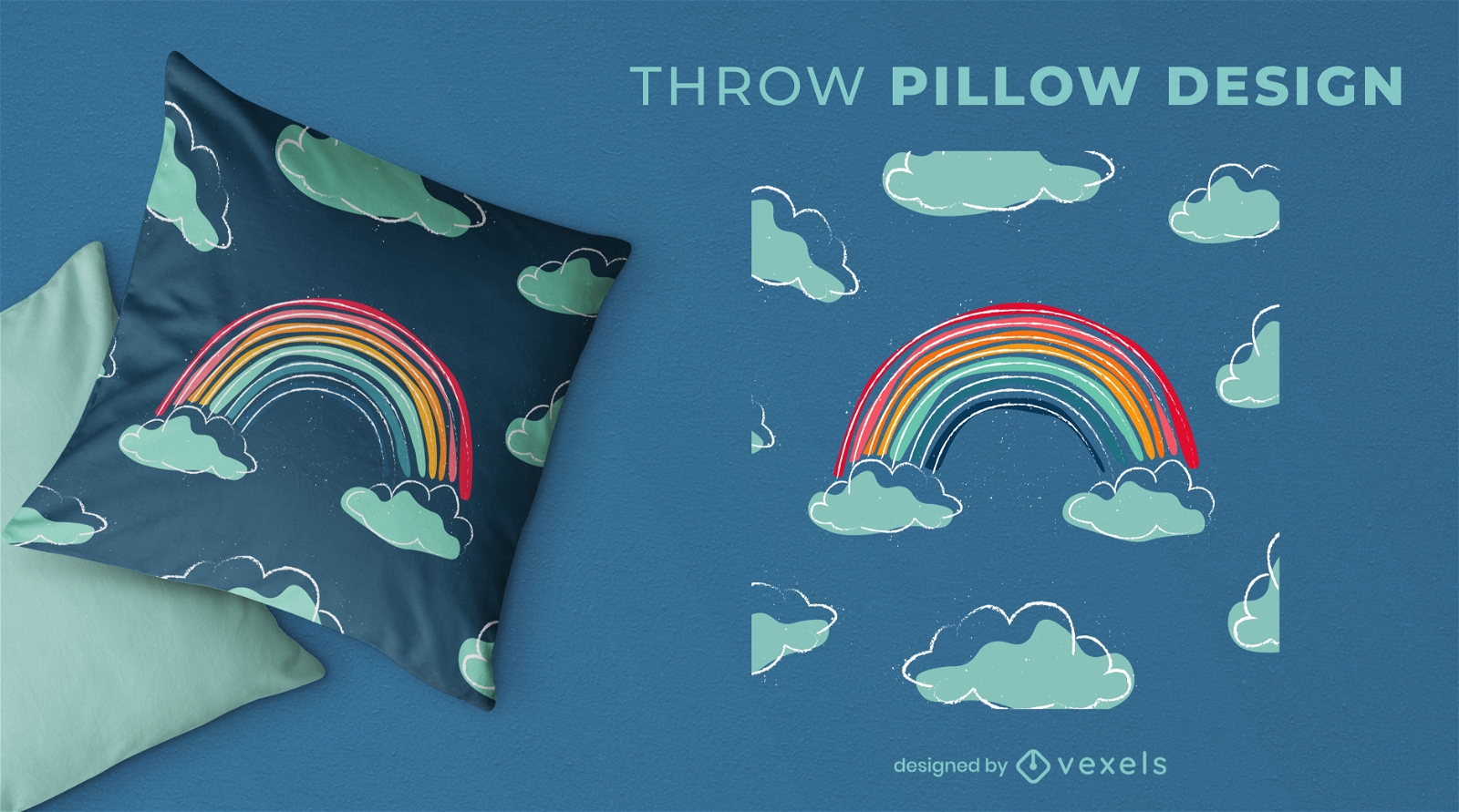
Hand drawn rainbow throw pillow design
Choose a folder
All favorites
Create new
Save
Hand drawn rainbow throw pillow design
Print ready
for Merch
Gemini zodiac throw pillow design
Choose a folder
All favorites
Create new
Save
Gemini zodiac throw pillow design
Print ready
for Merch
Watercolor leaves throw pillow design
Choose a folder
All favorites
Create new
Save
Watercolor leaves throw pillow design
Print ready
for Merch
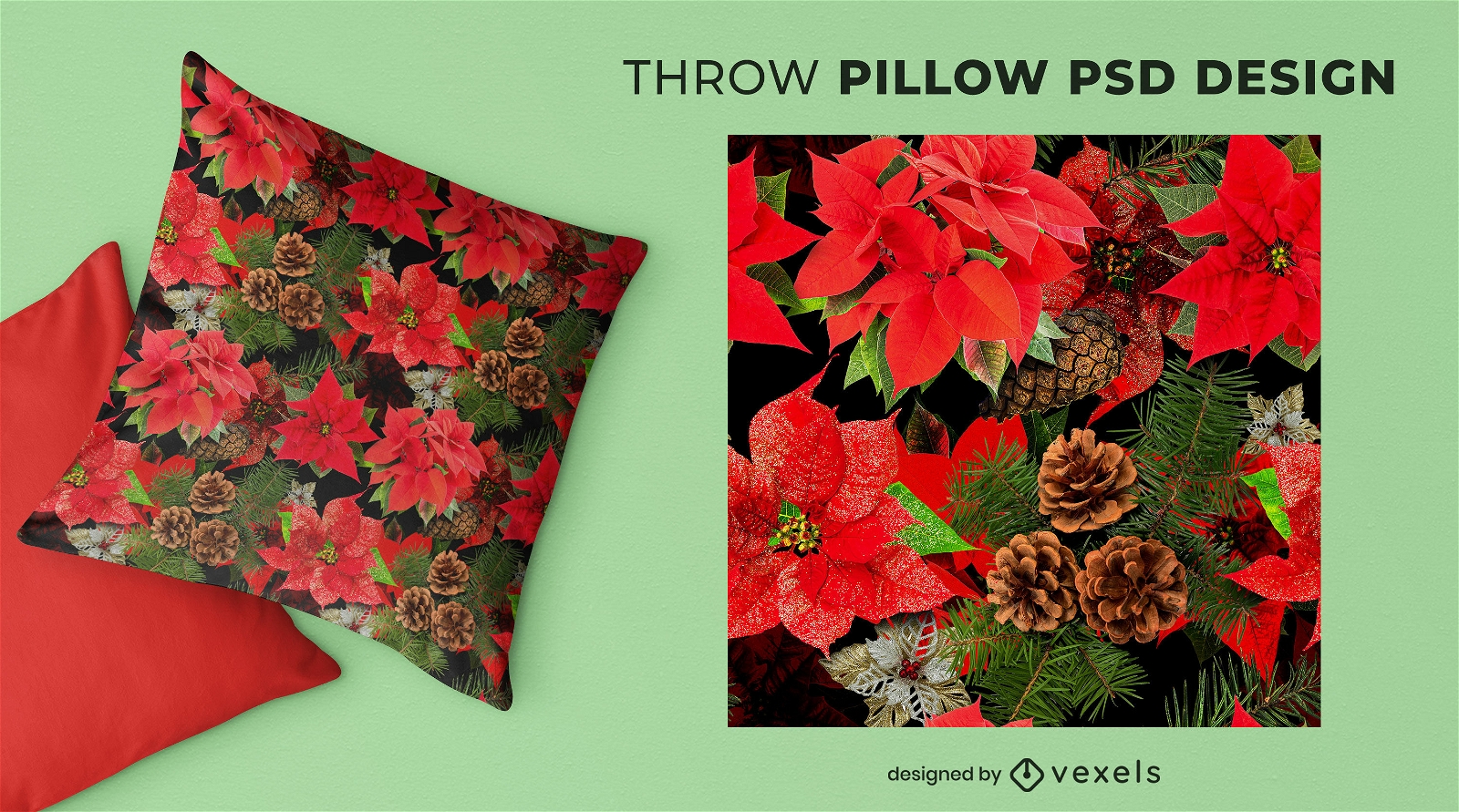
Christmas floral PSD throw pillow design
Choose a folder
All favorites
Create new
Save
Christmas floral PSD throw pillow design
Print ready
for Merch
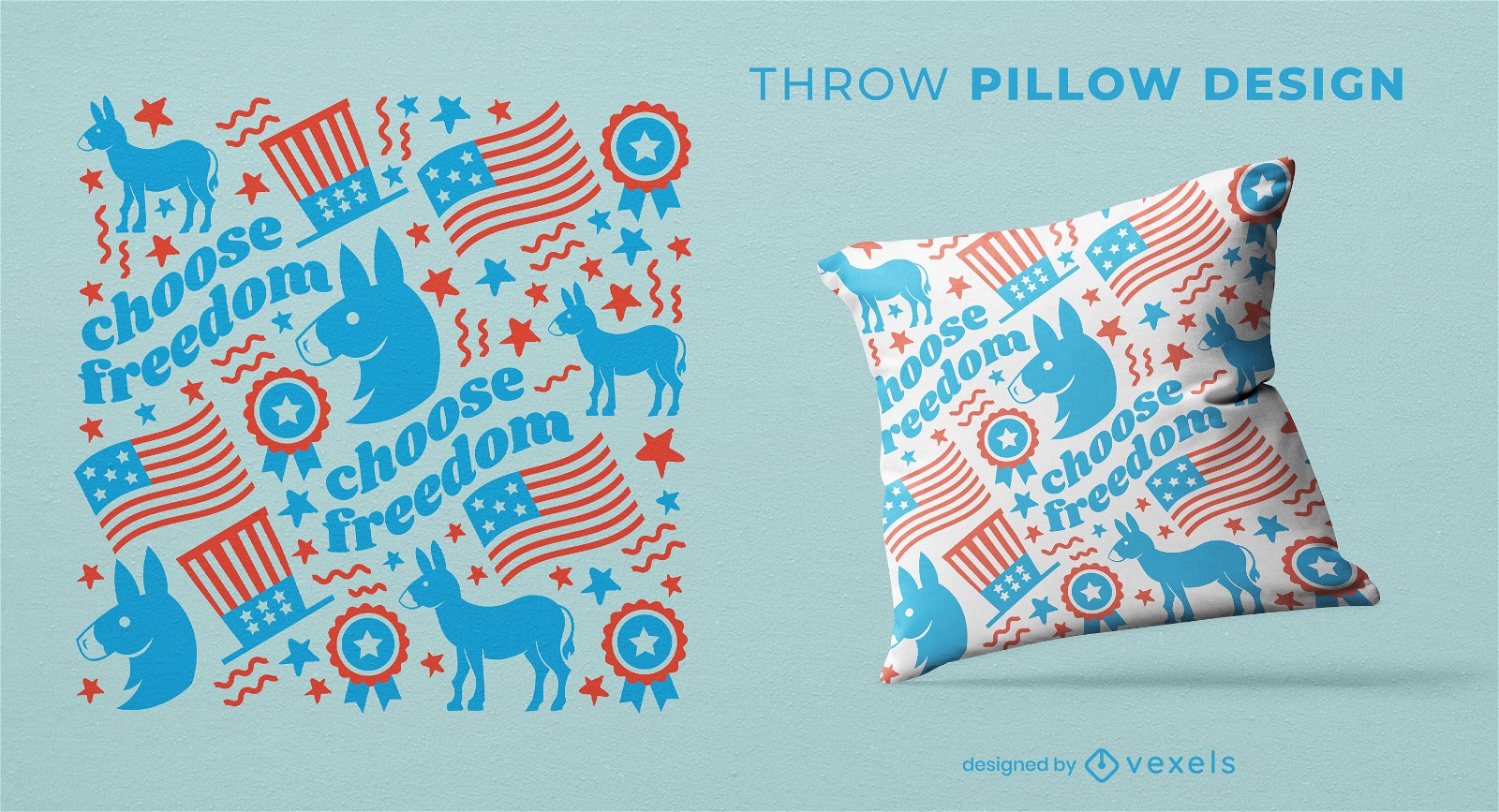
Democrats donkey pattern throw pillow design
Choose a folder
All favorites
Create new
Save
Democrats donkey pattern throw pillow design
Print ready
for Merch
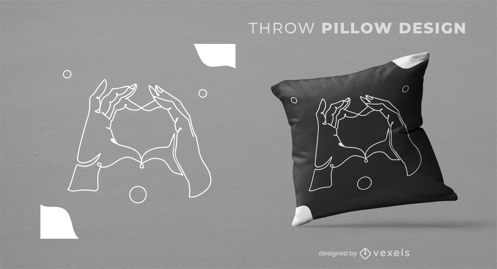
Heart shaped hands throw pillow design
Choose a folder
All favorites
Create new
Save
Heart shaped hands throw pillow design
Print ready
for Merch
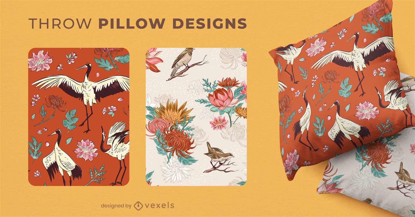
Chinese nature throw pillow designs
Choose a folder
All favorites
Create new
Save
Chinese nature throw pillow designs
Print ready
for Merch
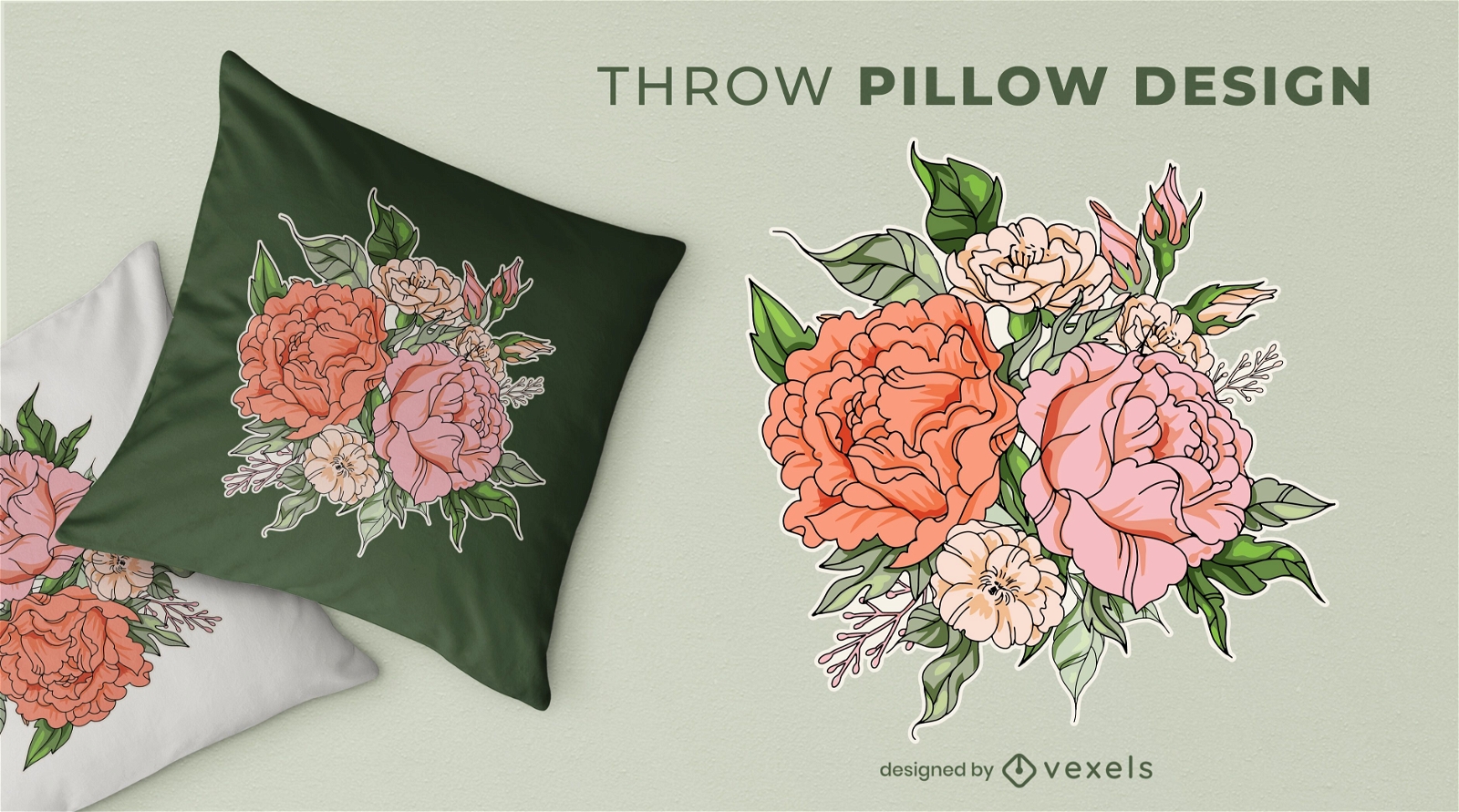
Flower bouquet throw pillow design
Choose a folder
All favorites
Create new
Save
Flower bouquet throw pillow design
Print ready
for Merch
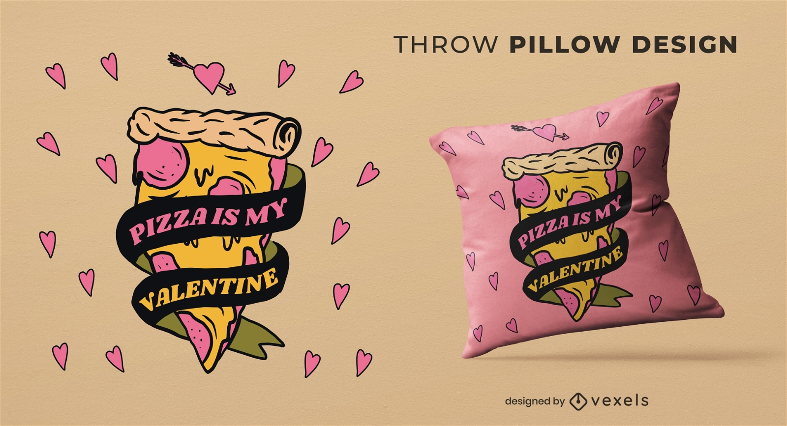
Pizza valentine throw pillow design
Choose a folder
All favorites
Create new
Save
Pizza valentine throw pillow design
Premium
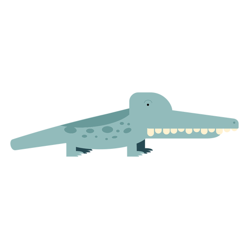
Aligator crocodile illustration PNG Design
Choose a folder
All favorites
Create new
Save
Aligator crocodile illustration PNG Design
Editable text
Print ready
for Merch
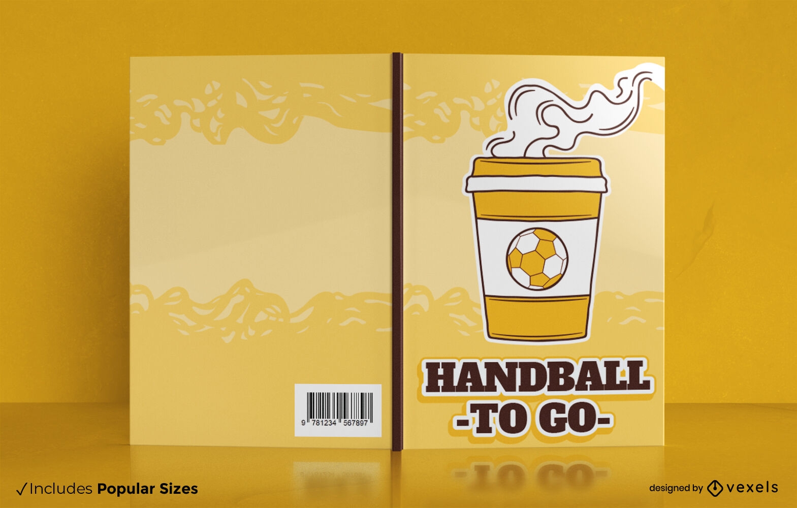
Handball to go book cover design
Choose a folder
All favorites
Create new
Save
Handball to go book cover design
Editable text
Print ready
for Merch
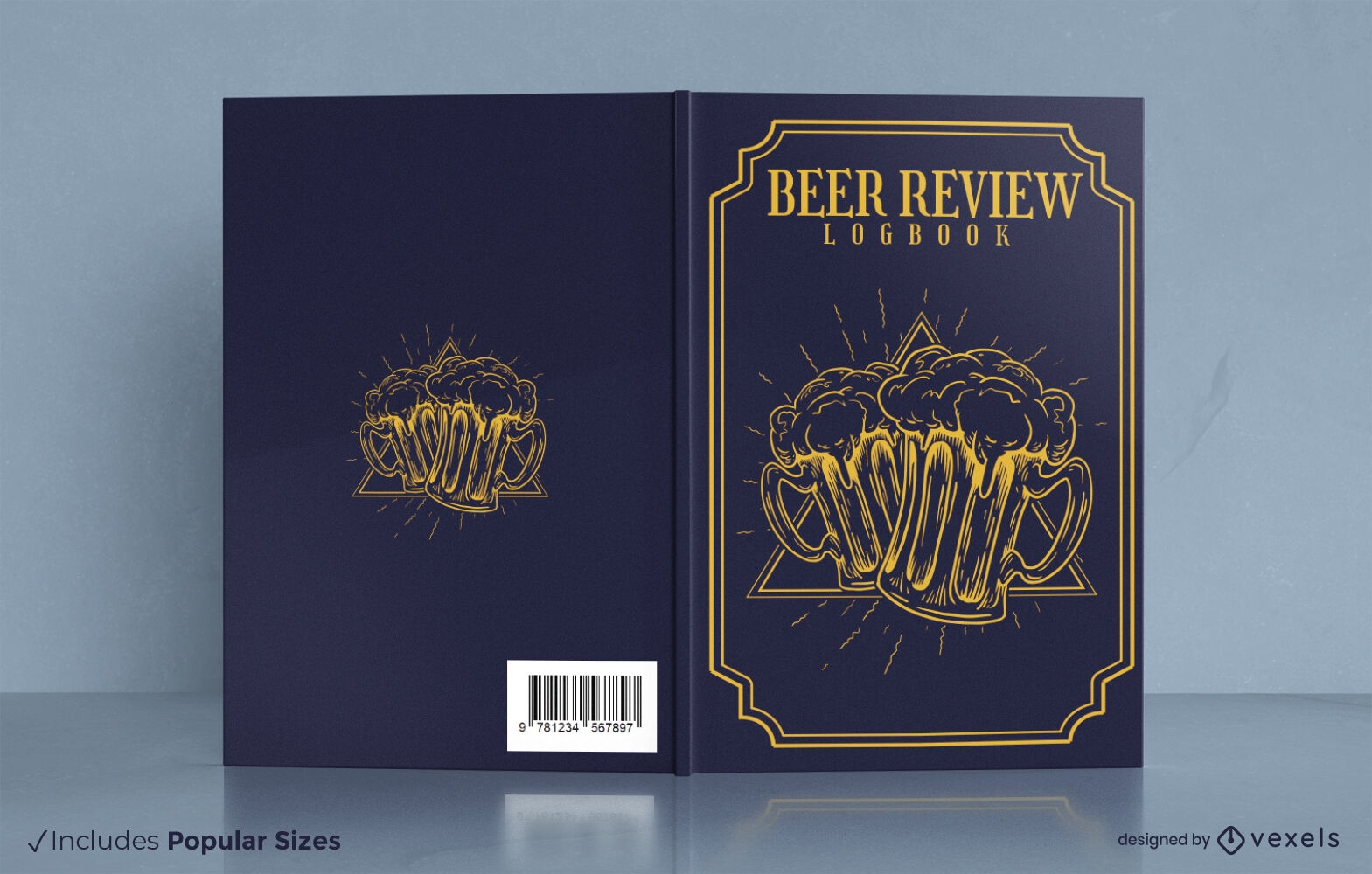
Beer tasting review book cover design
Choose a folder
All favorites
Create new
Save
Beer tasting review book cover design
Editable text
Print ready
for Merch
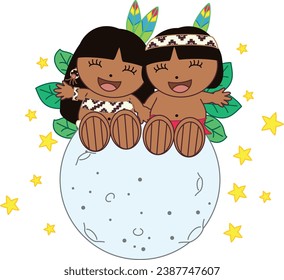
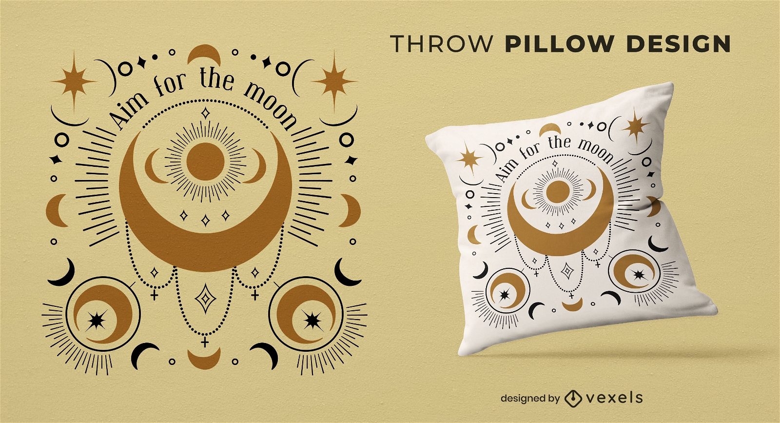
Aim for the moon throw pillow design
Choose a folder
All favorites
Create new
Save
Aim for the moon throw pillow design
Print ready
for Merch
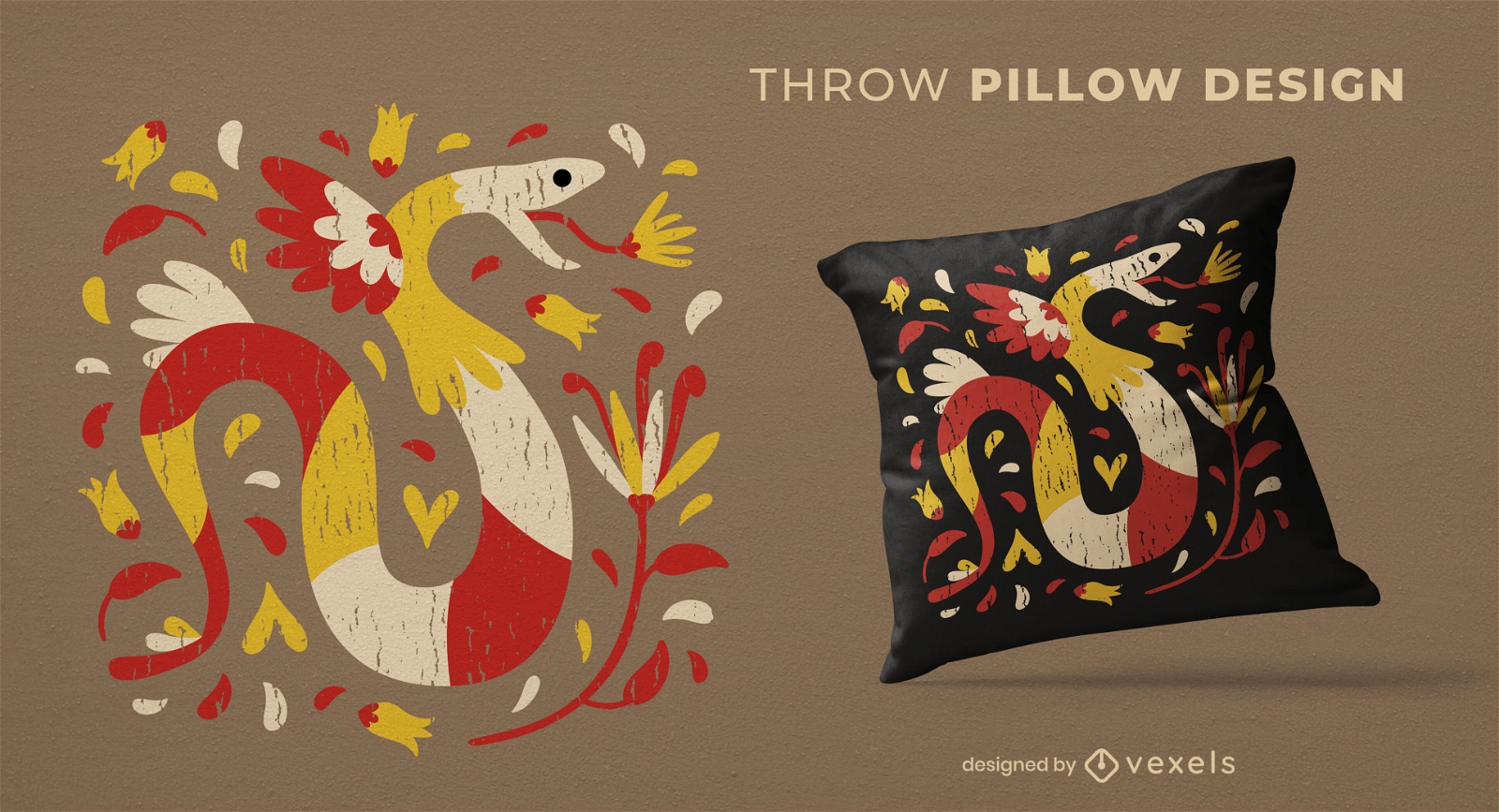
Colorful snake animal throw pillow design
Choose a folder
All favorites
Create new
Save
Colorful snake animal throw pillow design
Print ready
for Merch
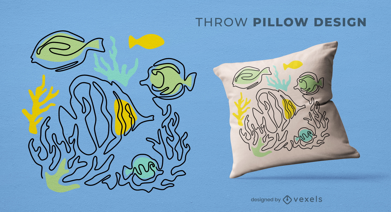
Continuous line fish throw pillow design
Choose a folder
All favorites
Create new
Save
Continuous line fish throw pillow design
Print ready
for Merch
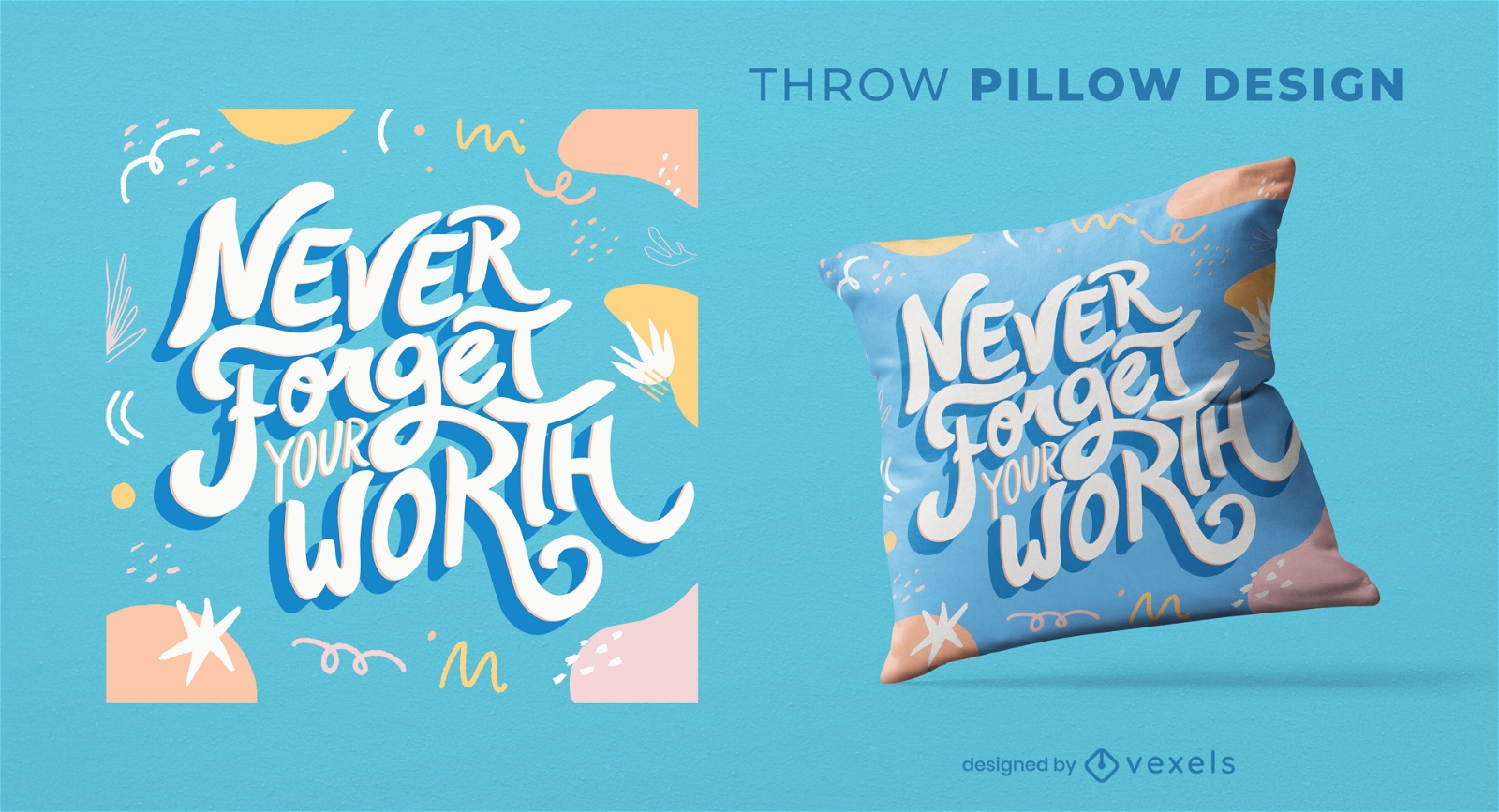
Motivational quote doodles throw pillow design
Choose a folder
All favorites
Create new
Save
Motivational quote doodles throw pillow design
Print ready
for Merch
Scorpio zodiac throw pillow design
Choose a folder
All favorites
Create new
Save
Scorpio zodiac throw pillow design
Print ready
for Merch
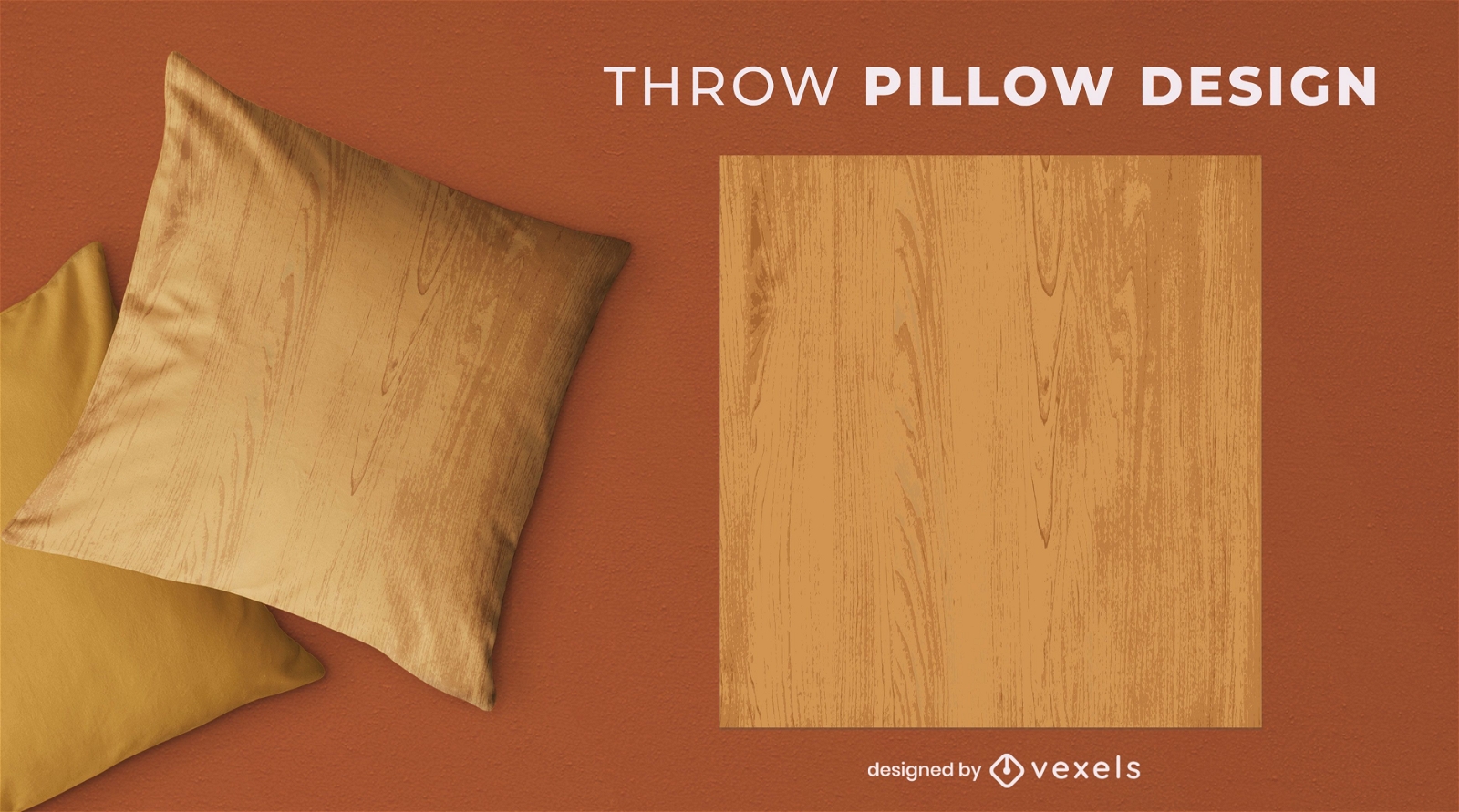
Wood grain throw pillow design
Choose a folder
All favorites
Create new
Save
Wood grain throw pillow design
Print ready
for Merch
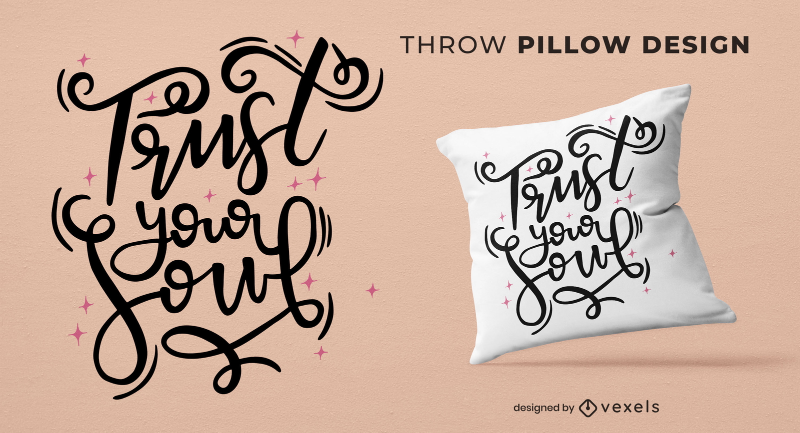
Trust your soul throw pillow design
Choose a folder
All favorites
Create new
Save
Trust your soul throw pillow design
Print ready
for Merch
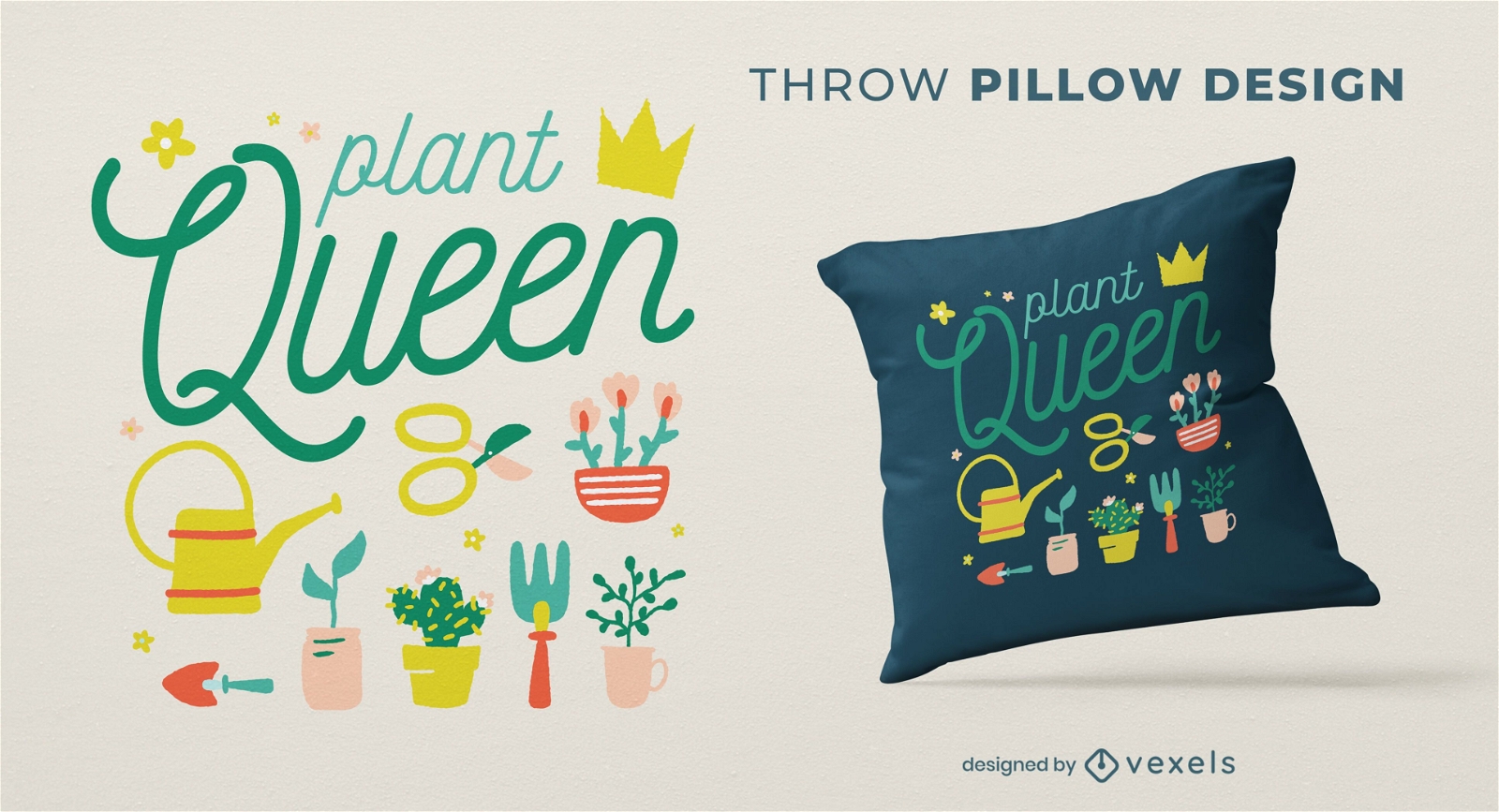
Plant queen throw pillow design
Choose a folder
All favorites
Create new
Save
Plant queen throw pillow design
Editable text
Print ready
for Merch
Funny cartoon animal friends throw pillow design
Choose a folder
All favorites
Create new
Save
Funny cartoon animal friends throw pillow design
Print ready
for Merch
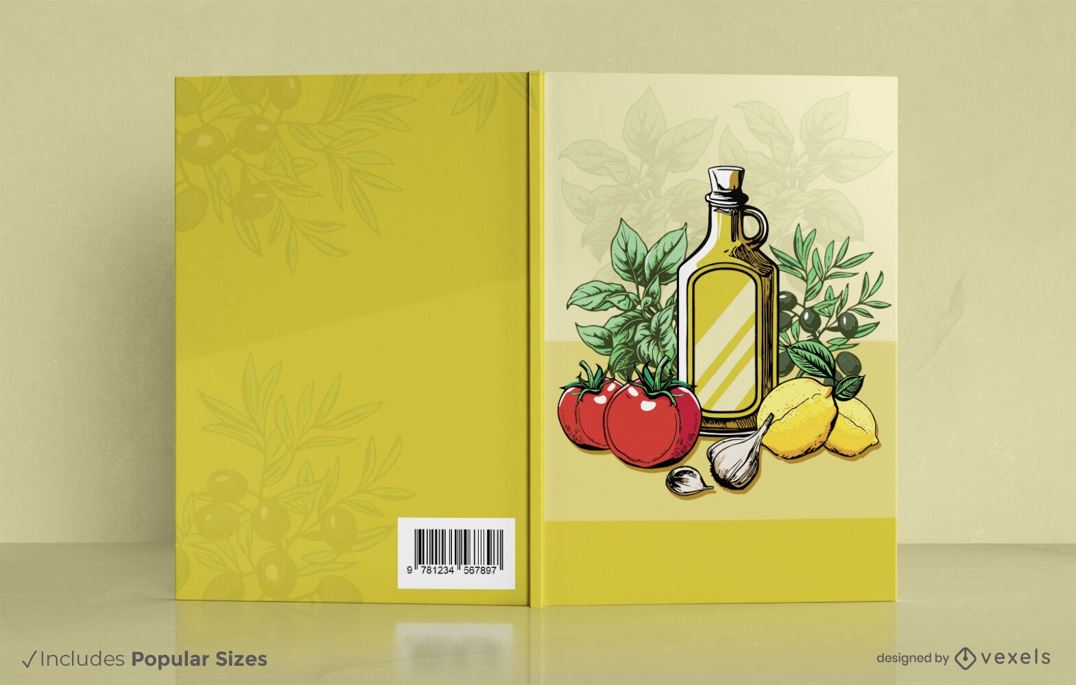
Italian cooking ingredientes book cover design
Choose a folder
All favorites
Create new
Save
Italian cooking ingredientes book cover design
Editable text
Print ready
for Merch
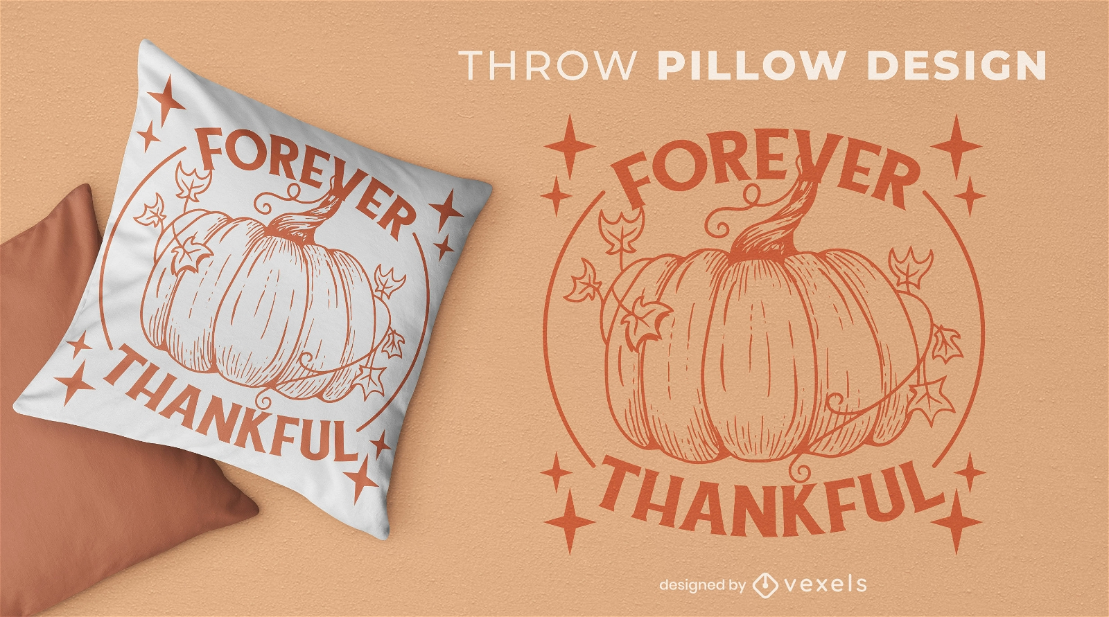
Forever thankful holiday throw pillow design
Choose a folder
All favorites
Create new
Save
Forever thankful holiday throw pillow design
Print ready
for Merch
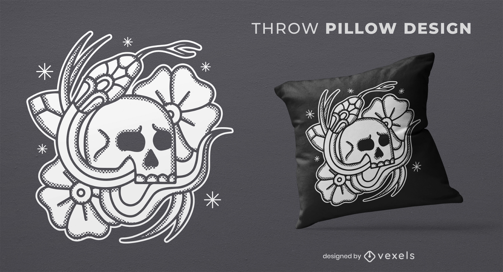
Skull and snake tattoo throw pillow design
Choose a folder
All favorites
Create new
Save
Skull and snake tattoo throw pillow design
Print ready
for Merch
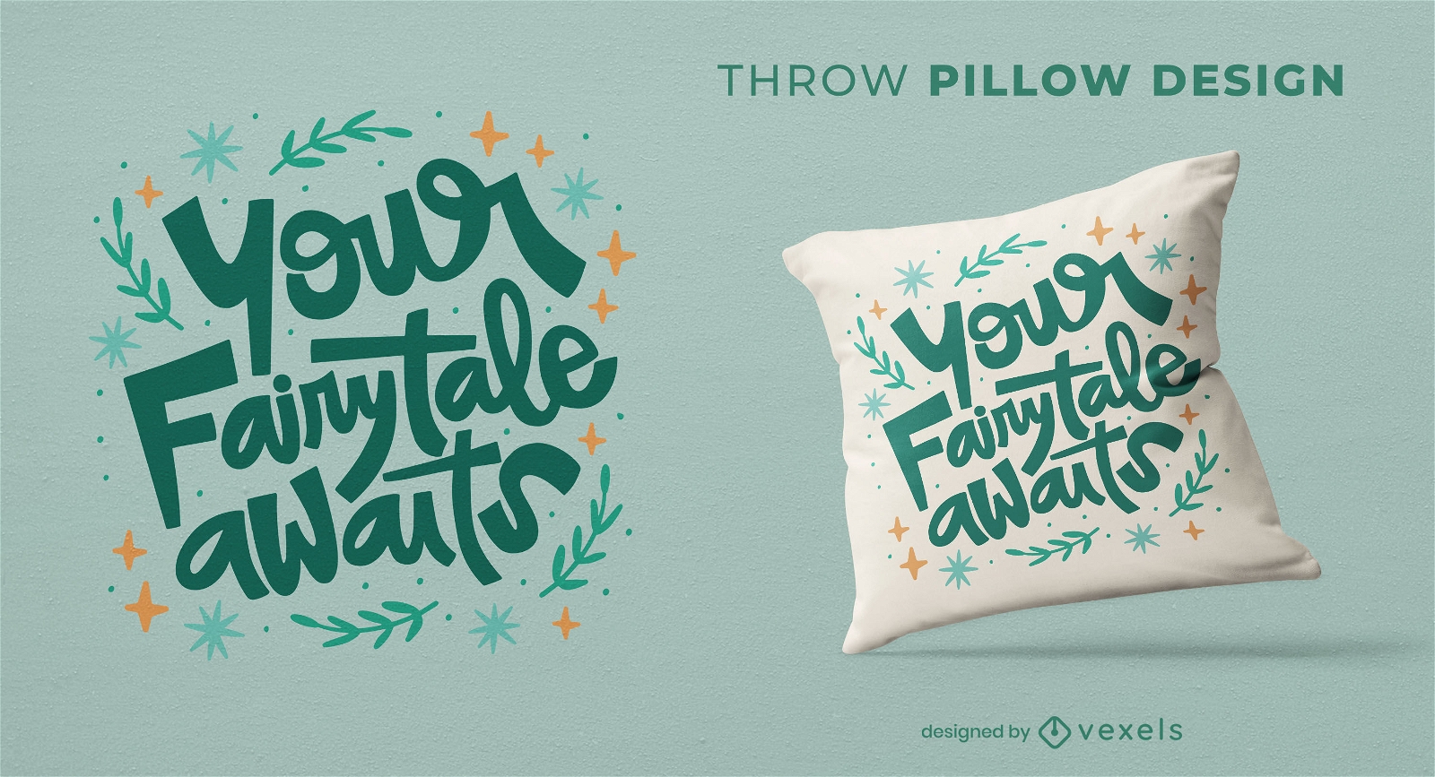
Fairytale throw pillow design
Choose a folder
All favorites
Create new
Save
Fairytale throw pillow design
Print ready
for Merch
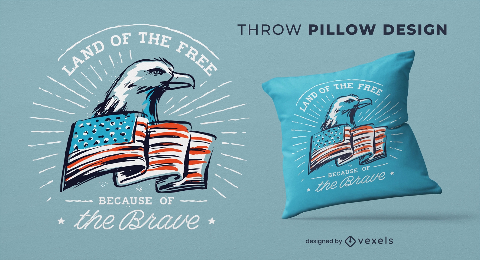
Independence day throw pillow design
Choose a folder
All favorites
Create new
Save
Independence day throw pillow design
Print ready
for Merch
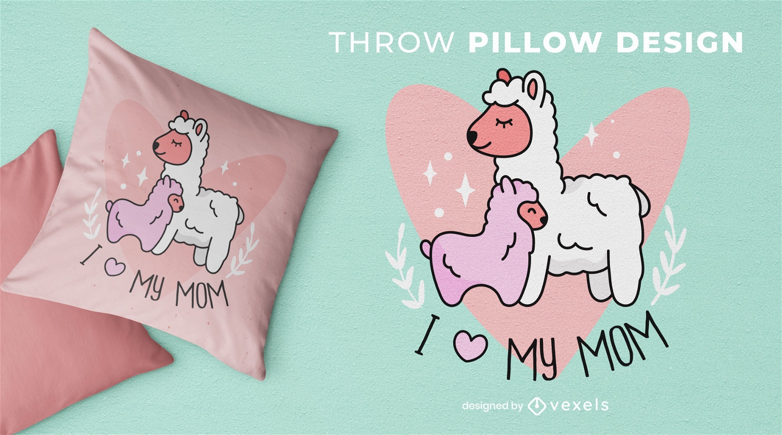
Llama mom throw pillow design
Choose a folder
All favorites
Create new
Save
Llama mom throw pillow design
Editable text
Print ready
Premium
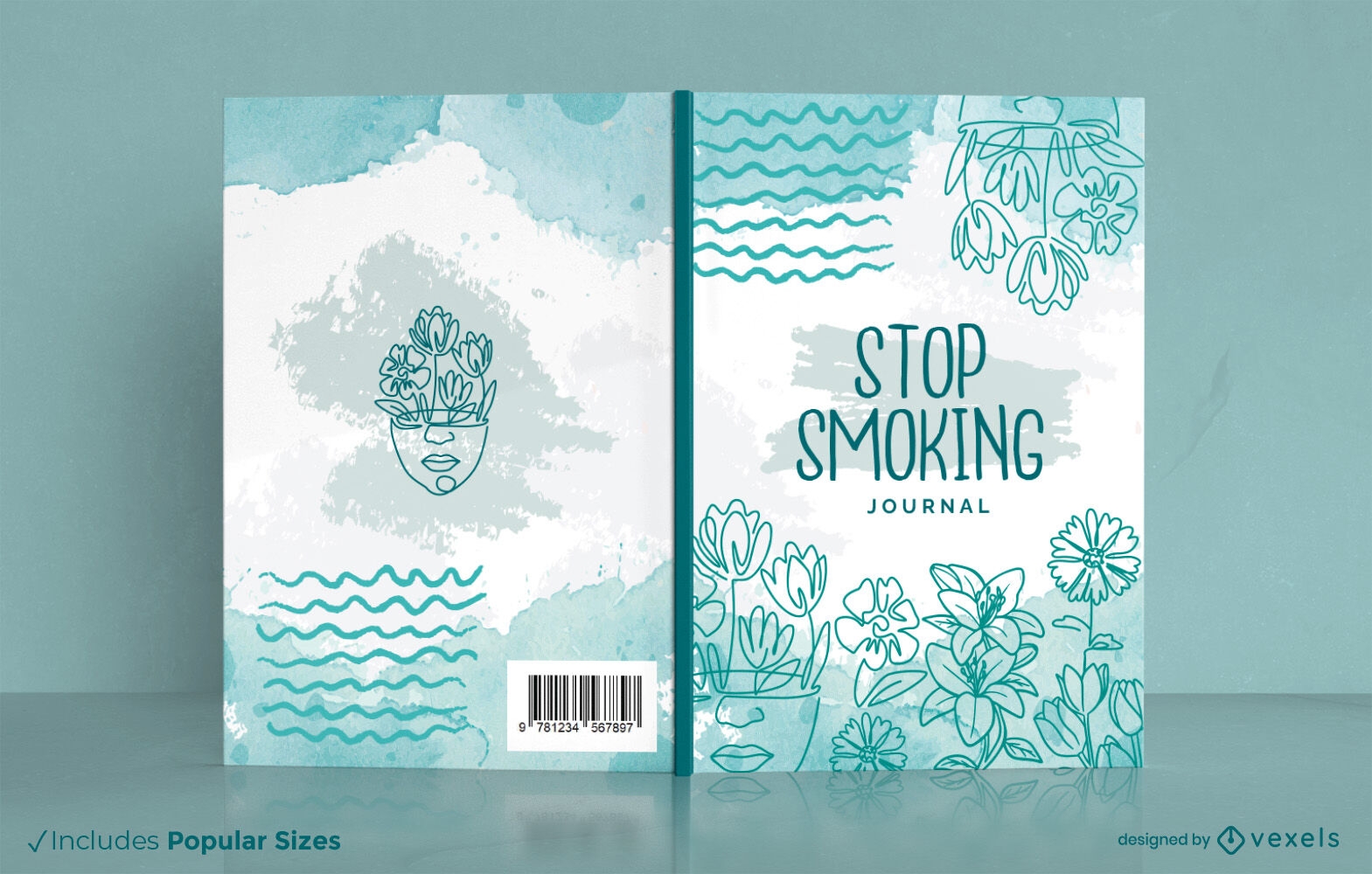
Stop smoking floral journal book cover design KPD
Choose a folder
All favorites
Create new
Save
Stop smoking floral journal book cover design KPD
Editable text
Print ready
for Merch
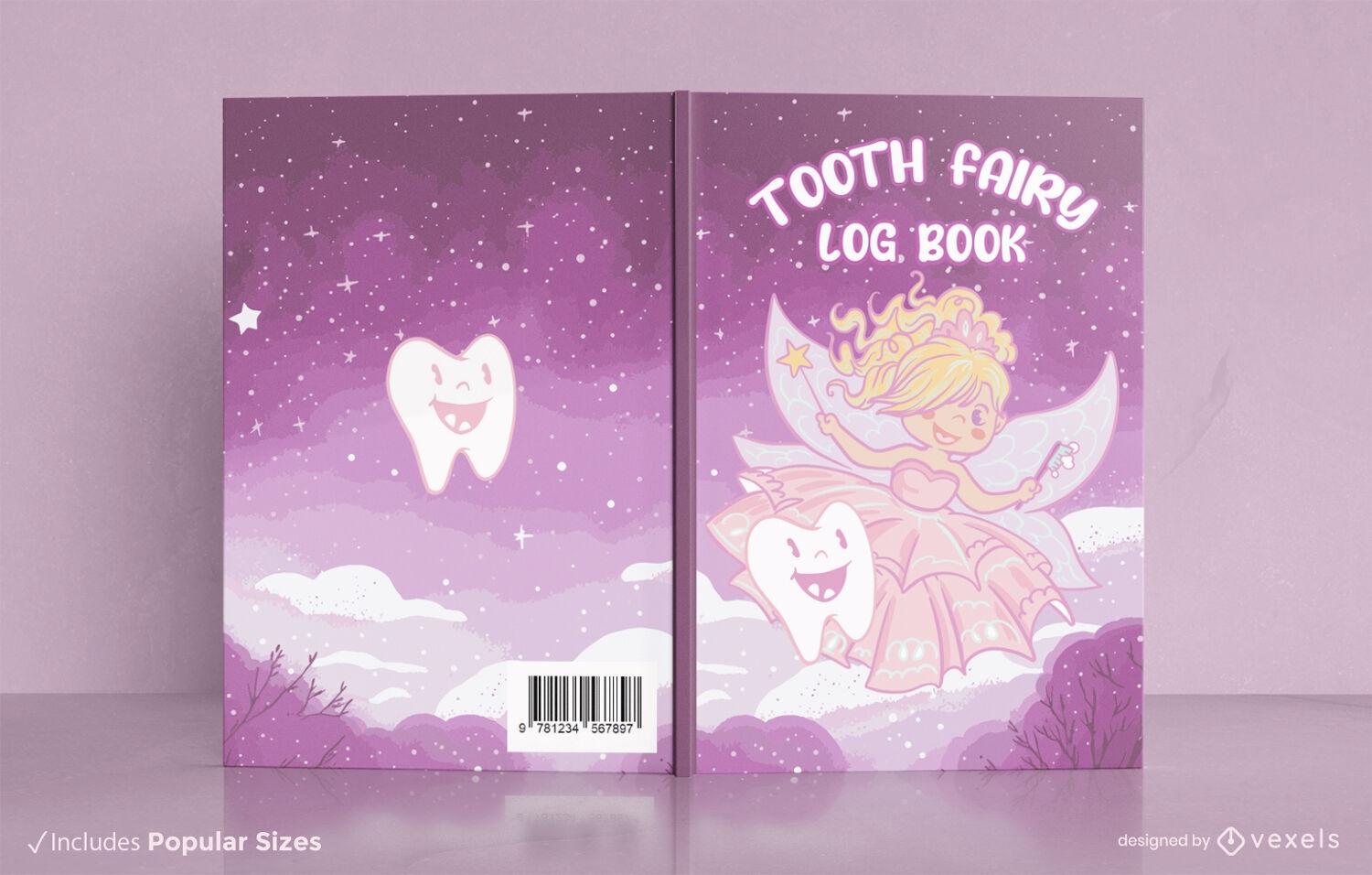
Tooth fairy book cover design KDP
Choose a folder
All favorites
Create new
Save
Tooth fairy book cover design KDP
Editable text
Print ready
for Merch
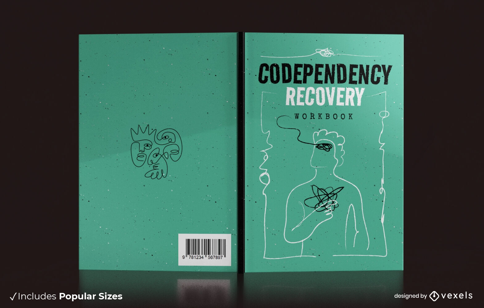
Codependency recovery book cover design KDP
Choose a folder
All favorites
Create new
Save
Codependency recovery book cover design KDP
Print ready
for Merch
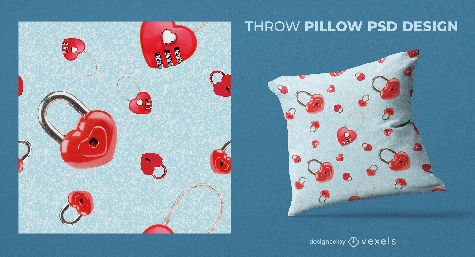
Heart shaped padlock throw pillow design
Choose a folder
All favorites
Create new
Save
Heart shaped padlock throw pillow design
Print ready
for Merch
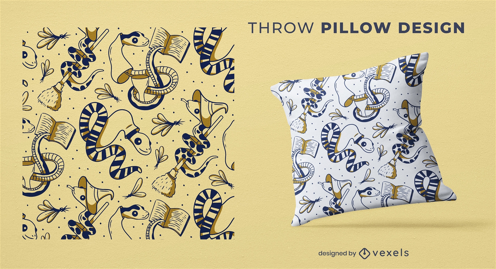
Cute snake wizard throw pillow design
Choose a folder
All favorites
Create new
Save
Cute snake wizard throw pillow design
Print ready
for Merch
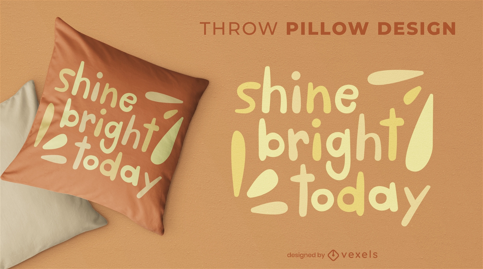
Cute shine bright throw pillow design
Choose a folder
All favorites
Create new
Save
Cute shine bright throw pillow design
Print ready
for Merch
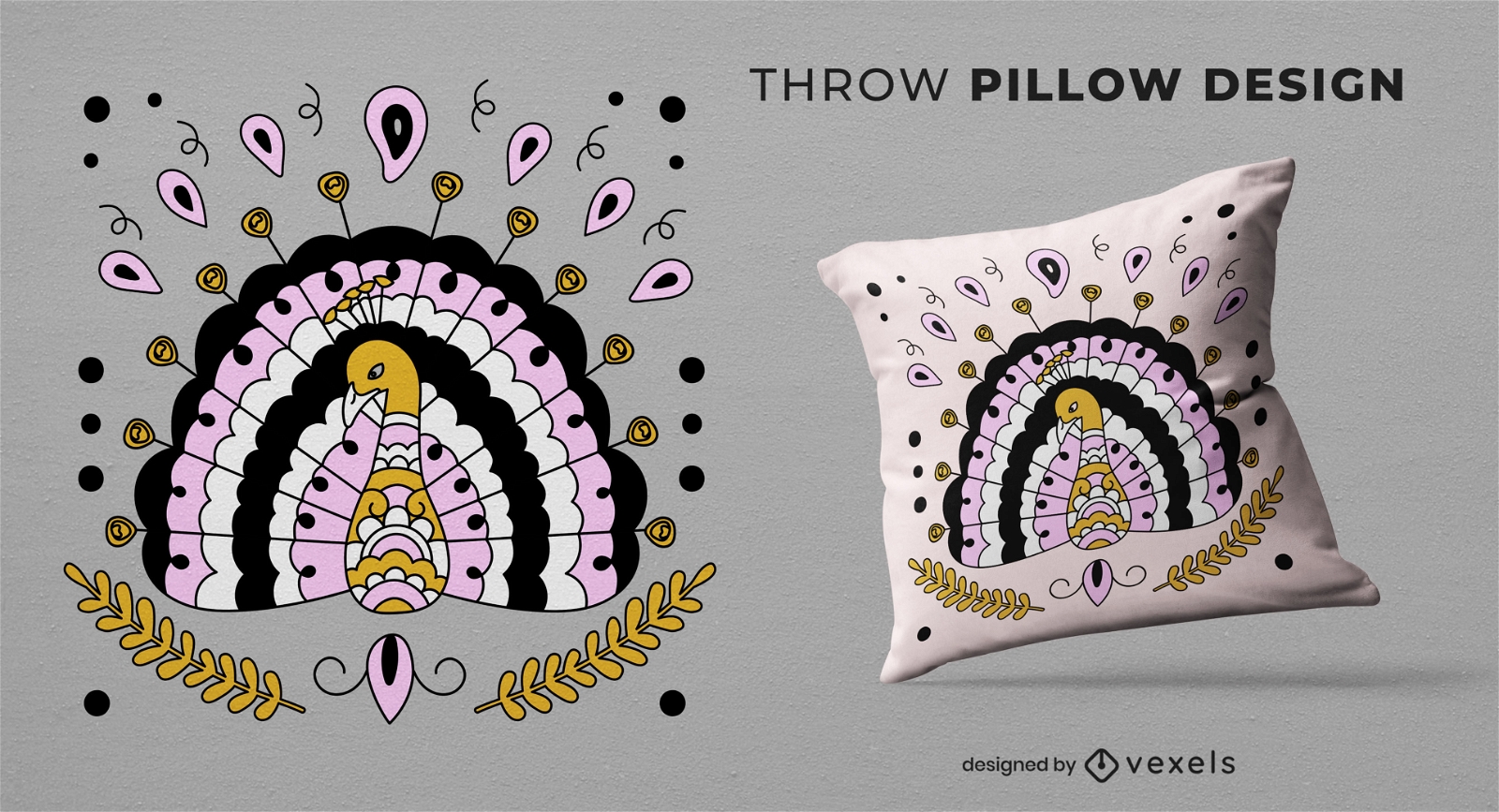
Peacock animal throw pillow design
Choose a folder
All favorites
Create new
Save
Peacock animal throw pillow design
Print ready
for Merch
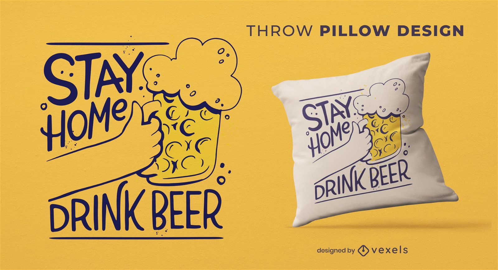
Oktoberfest isolated beer drink throw pillow
Choose a folder
All favorites
Create new
Save
Oktoberfest isolated beer drink throw pillow
Print ready
for Merch
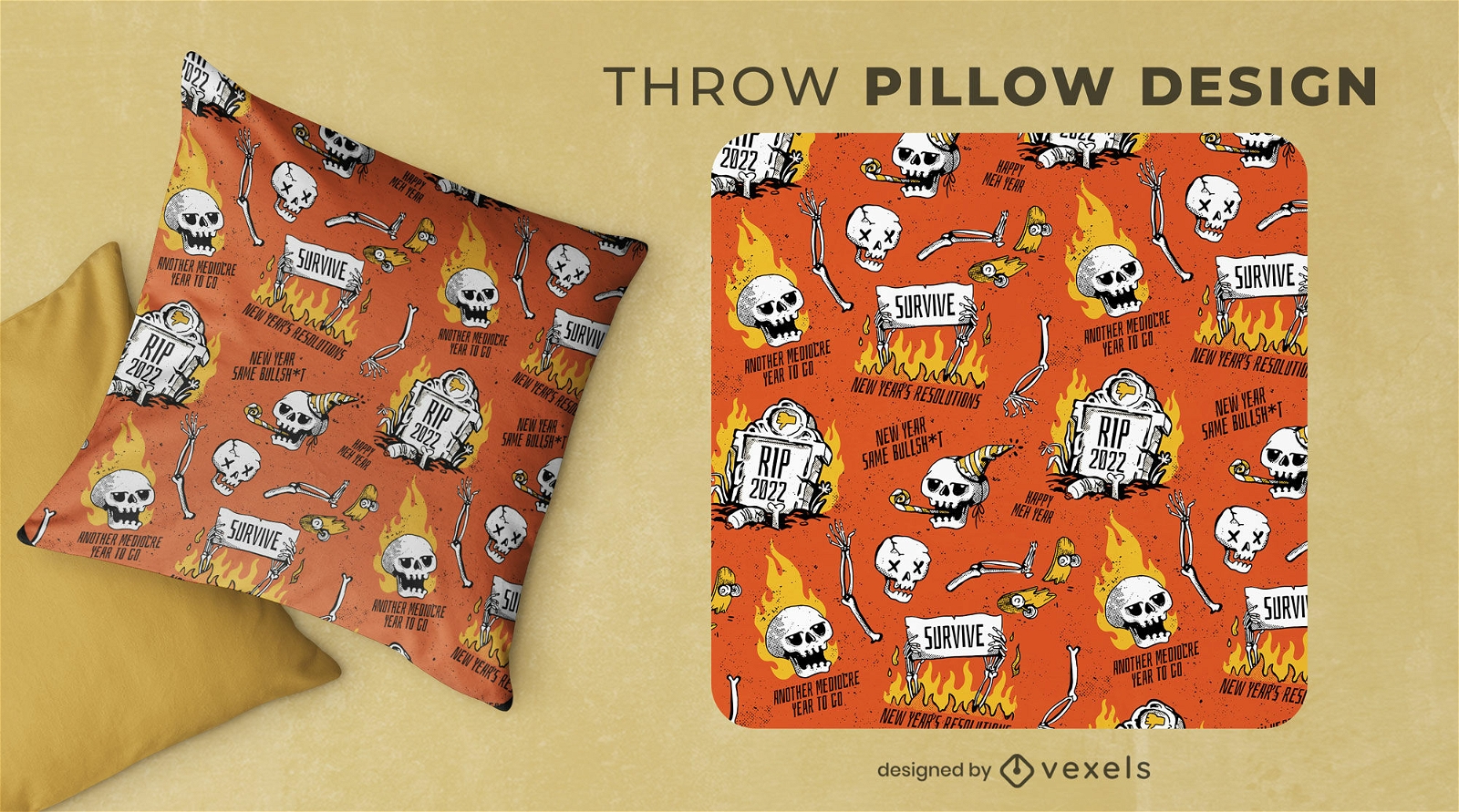
Anti New Year fire throw pillow design
Choose a folder
All favorites
Create new
Save
Anti New Year fire throw pillow design
Print ready
for Merch
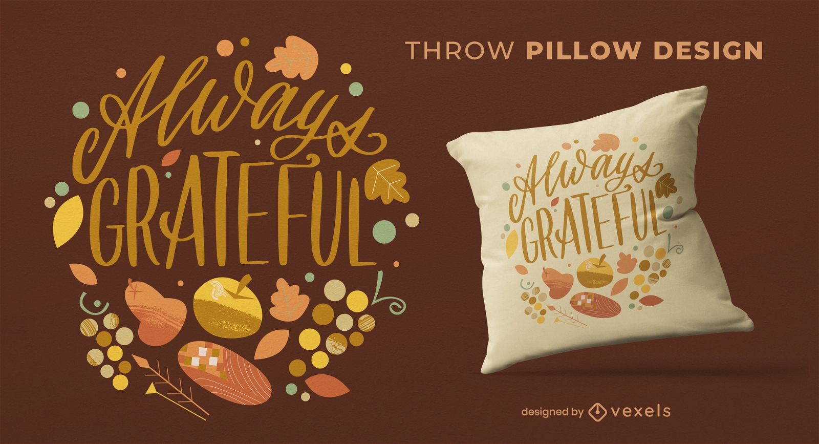
Grateful thanksgiving quote throw pillow
Choose a folder
All favorites
Create new
Save
Grateful thanksgiving quote throw pillow
Print ready
for Merch
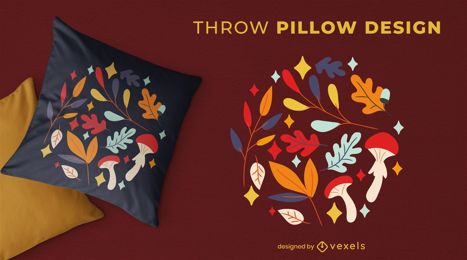
Autumn decoration throw pillow design
Choose a folder
All favorites
Create new
Save
Autumn decoration throw pillow design
Print ready
for Merch
Magic eye fantasy throw pillow design
Choose a folder
All favorites
Create new
Save
Magic eye fantasy throw pillow design
Boost Your Business
With The Leading Graphic Platform For Merch.
SEE PLANS
Next
of 24
prev page
next page