Design Library
Explore Designs
New Merch Designs
Trending Merch Designs
Vectors
PNGs & SVGs
Mockups
T-Shirts
T-Shirt PSD Templates
KDP Designs
Phone Cases
Pillows
Tote Bags
Posters
Mugs
Design Tools
Designer
New!
T-shirt Maker
Mockup Generator
Quote Generator
Logo Maker
Resources
Merch Digest
Blog
Help Center
Creators Program
Learn About Merch
Changelog
Pricing
Loading...
Sign Up
Login
All
country
map
Design Library
Explore Designs
New Merch Designs
Trending Merch Designs
Vectors
PNGs & SVGs
Mockups
T-Shirts
T-Shirt PSD Templates
KDP Designs
Phone Cases
Pillows
Tote Bags
Posters
Mugs
Design Tools
Designer
New!
T-shirt Maker
Mockup Generator
Quote Generator
Logo Maker
Resources
Merch Digest
Blog
Help Center
Creators Program
Learn About Merch
Changelog
PLANS
All
country
map
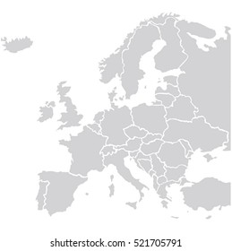
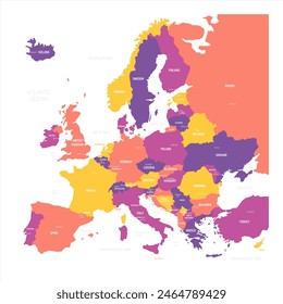
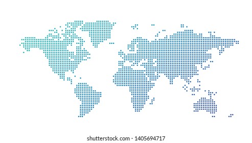
873 country map designs graphics for t-shirt and print on demand merch
Download country map t-shirt designs and other merch graphics like book covers, phone cases, tote bags and more.
Sort by
Most relevant
Sponsored results by
Get 15% off with code: VEXELS15
Show more
Premium
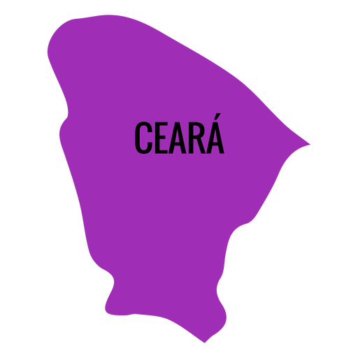
Ceara state map PNG Design
Choose a folder
All favorites
Create new
Save
Ceara state map PNG Design
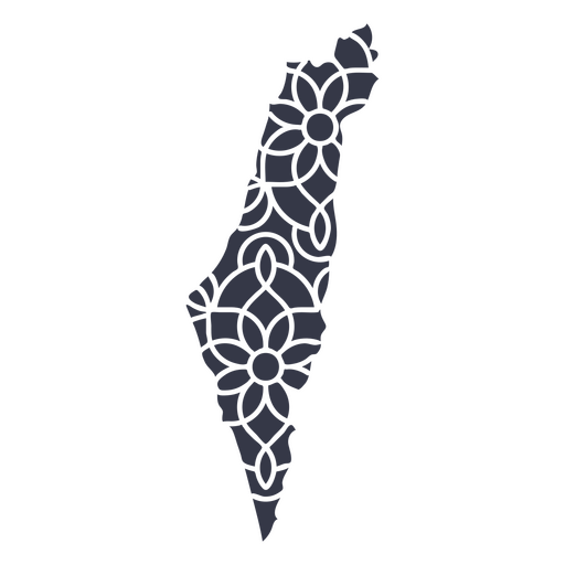
Mandala Israel Map PNG Design
Choose a folder
All favorites
Create new
Save
Mandala Israel Map PNG Design
Premium
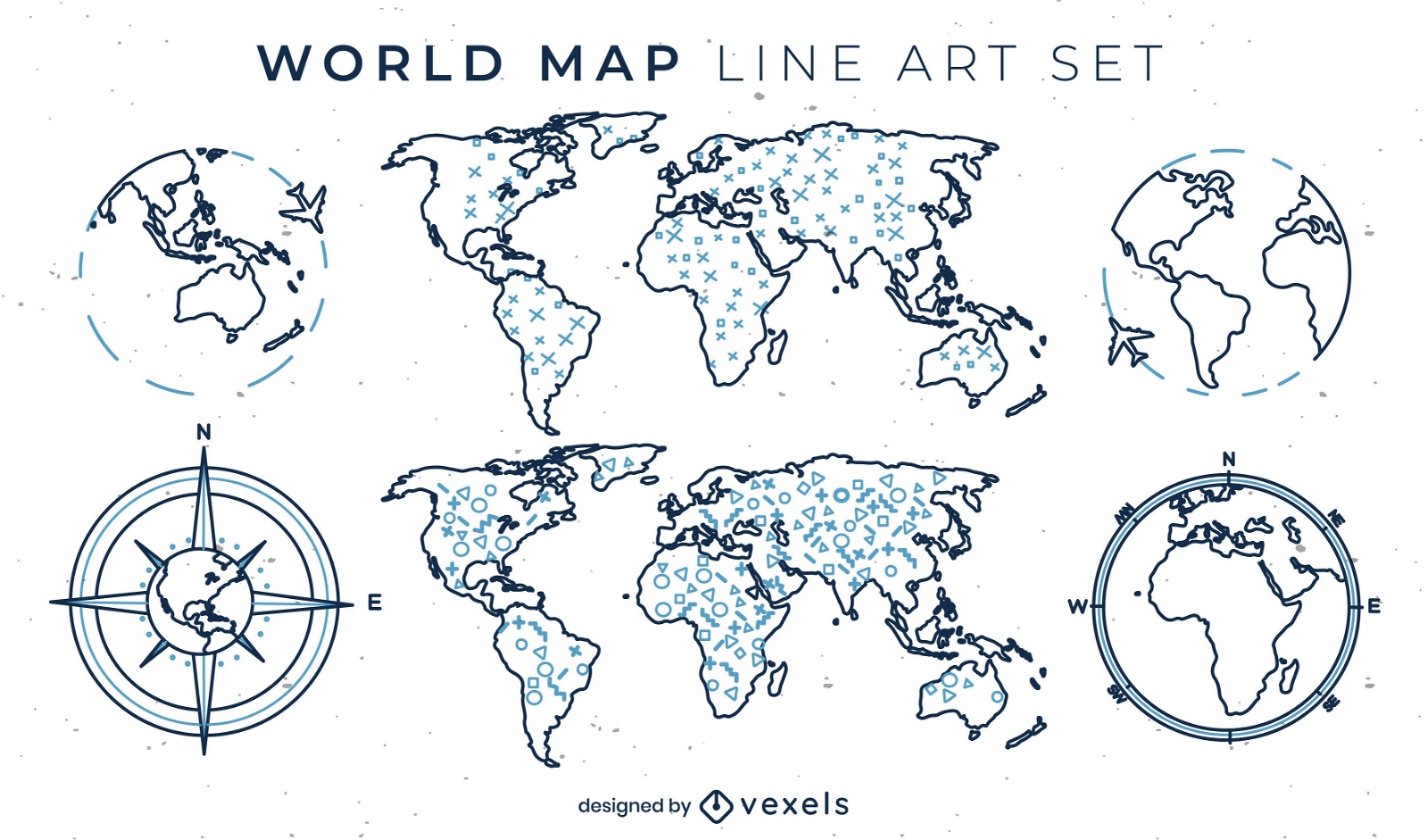
World map set of line art elements
Choose a folder
All favorites
Create new
Save
World map set of line art elements
Premium
Jalisko state map PNG Design
Choose a folder
All favorites
Create new
Save
Jalisko state map PNG Design
A silhouette of the map of Denmark PNG Design
Choose a folder
All favorites
Create new
Save
A silhouette of the map of Denmark PNG Design
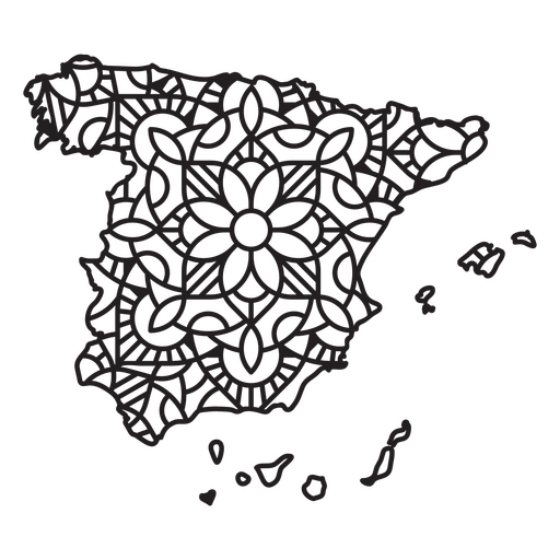
Spain Mandala Map PNG Design
Choose a folder
All favorites
Create new
Save
Spain Mandala Map PNG Design
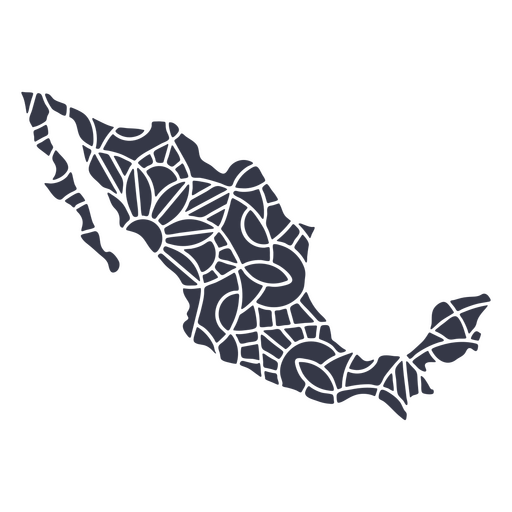
Mexico map silhouette mandala cut out PNG Design
Choose a folder
All favorites
Create new
Save
Mexico map silhouette mandala cut out PNG Design
Premium
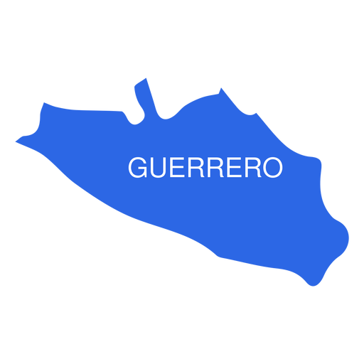
Guerrero state map PNG Design
Choose a folder
All favorites
Create new
Save
Guerrero state map PNG Design
Premium
Paraiba state map PNG Design
Choose a folder
All favorites
Create new
Save
Paraiba state map PNG Design
Premium
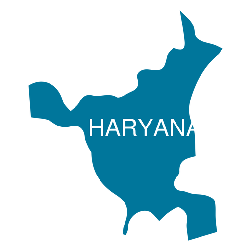
Haryana state map PNG Design
Choose a folder
All favorites
Create new
Save
Haryana state map PNG Design
Premium
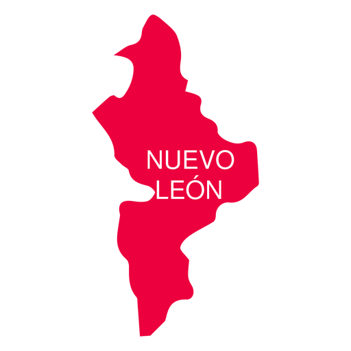
Nuevo leon state map PNG Design
Choose a folder
All favorites
Create new
Save
Nuevo leon state map PNG Design
Premium
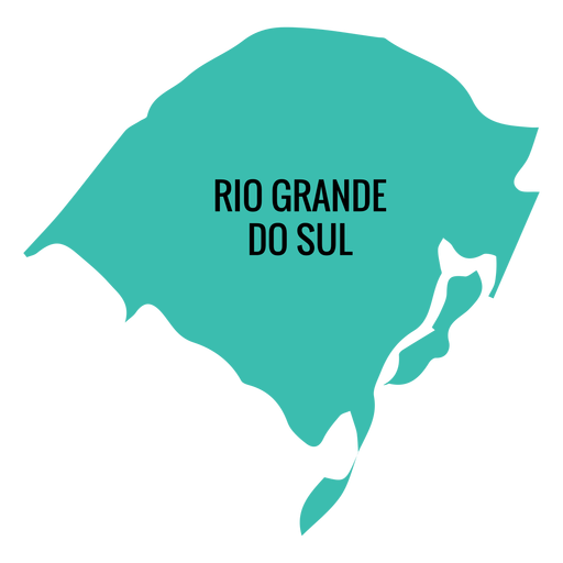
Rio grande do sul state map PNG Design
Choose a folder
All favorites
Create new
Save
Rio grande do sul state map PNG Design
A silhouette of the map of the United Arab Emirates PNG Design
Choose a folder
All favorites
Create new
Save
A silhouette of the map of the United Arab Emirates PNG Design
Premium
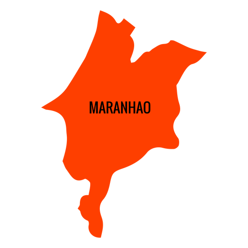
Maranhao state map PNG Design
Choose a folder
All favorites
Create new
Save
Maranhao state map PNG Design
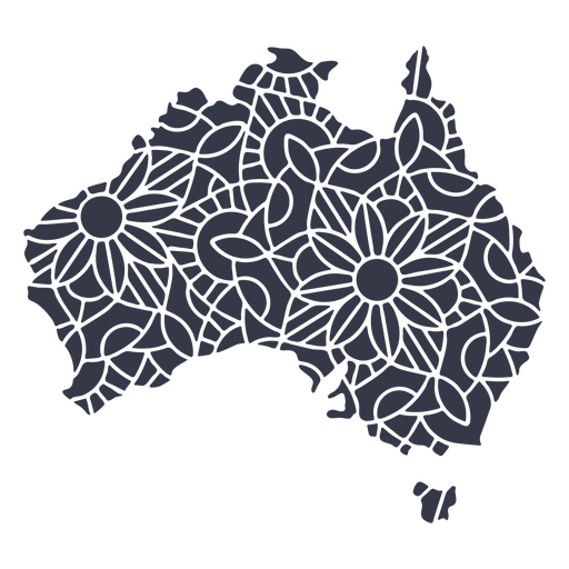
Australia map silhouette mandala cut out PNG Design
Choose a folder
All favorites
Create new
Save
Australia map silhouette mandala cut out PNG Design
Premium
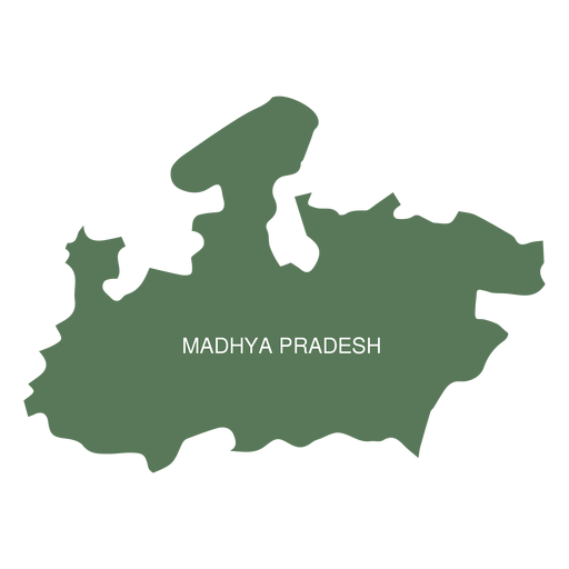
Madhya pradesh state map PNG Design
Choose a folder
All favorites
Create new
Save
Madhya pradesh state map PNG Design
Premium
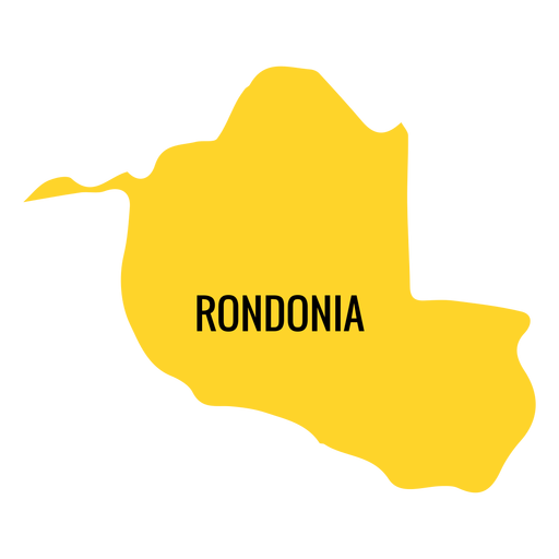
Rondonia state map PNG Design
Choose a folder
All favorites
Create new
Save
Rondonia state map PNG Design
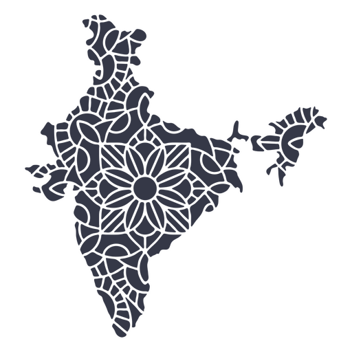
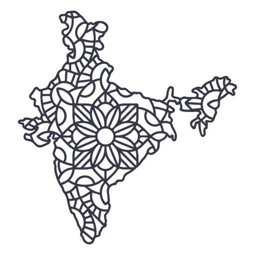
India map silhouette mandala cut out PNG Design
Choose a folder
All favorites
Create new
Save
India map silhouette mandala cut out PNG Design
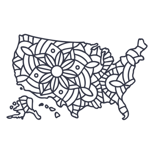
USA american flag map PNG Design
Choose a folder
All favorites
Create new
Save
USA american flag map PNG Design
Premium
Sergipe state map PNG Design
Choose a folder
All favorites
Create new
Save
Sergipe state map PNG Design
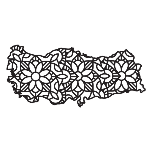
Turkey Mandala Map PNG Design
Choose a folder
All favorites
Create new
Save
Turkey Mandala Map PNG Design
India map silhouette mandala stroke PNG Design
Choose a folder
All favorites
Create new
Save
India map silhouette mandala stroke PNG Design
Premium
Tlaxcala state map PNG Design
Choose a folder
All favorites
Create new
Save
Tlaxcala state map PNG Design
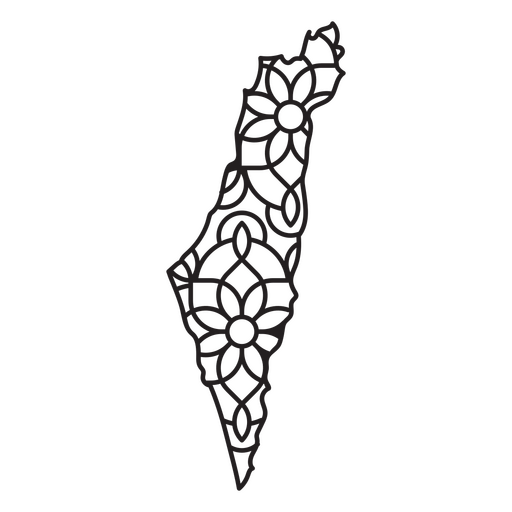
Israel Mandala Map PNG Design
Choose a folder
All favorites
Create new
Save
Israel Mandala Map PNG Design
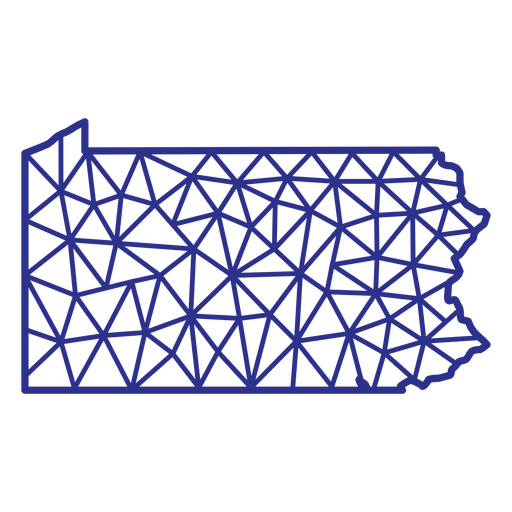
Pennsylvania map polygonal PNG Design
Choose a folder
All favorites
Create new
Save
Pennsylvania map polygonal PNG Design
Premium
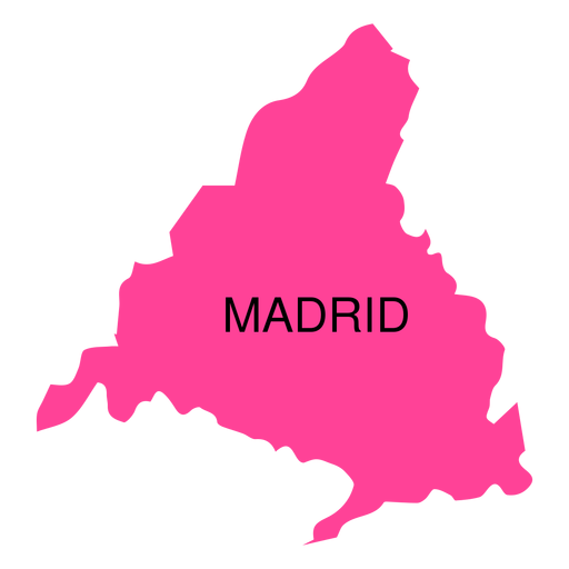
Madrid autonomous community map PNG Design
Choose a folder
All favorites
Create new
Save
Madrid autonomous community map PNG Design
Premium
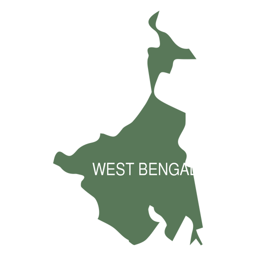
West bengal state map PNG Design
Choose a folder
All favorites
Create new
Save
West bengal state map PNG Design
A silhouette of the map of Israel PNG Design
Choose a folder
All favorites
Create new
Save
A silhouette of the map of Israel PNG Design
A silhouette of the map of Colombia PNG Design
Choose a folder
All favorites
Create new
Save
A silhouette of the map of Colombia PNG Design
USA map silhouette mandala stroke PNG Design
Choose a folder
All favorites
Create new
Save
USA map silhouette mandala stroke PNG Design
Premium
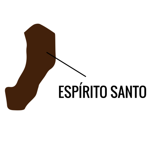
Espirito santo state map PNG Design
Choose a folder
All favorites
Create new
Save
Espirito santo state map PNG Design
Premium
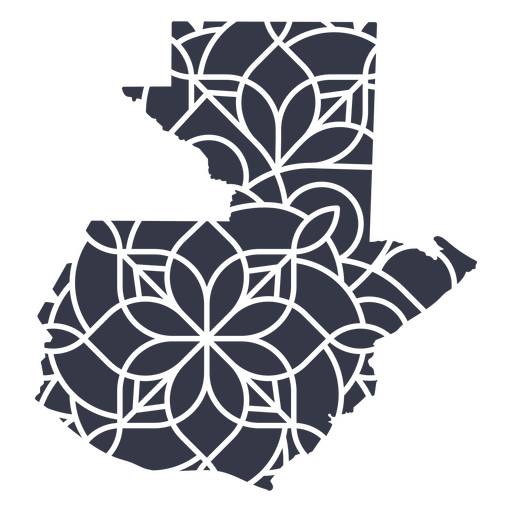
Guatemala's mandala map PNG Design
Choose a folder
All favorites
Create new
Save
Guatemala's mandala map PNG Design
Premium
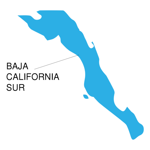
Baja california sur state map PNG Design
Choose a folder
All favorites
Create new
Save
Baja california sur state map PNG Design
Premium
Victoria state map PNG Design
Choose a folder
All favorites
Create new
Save
Victoria state map PNG Design
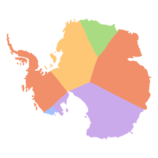
Antarctica flat continents map PNG Design
Choose a folder
All favorites
Create new
Save
Antarctica flat continents map PNG Design
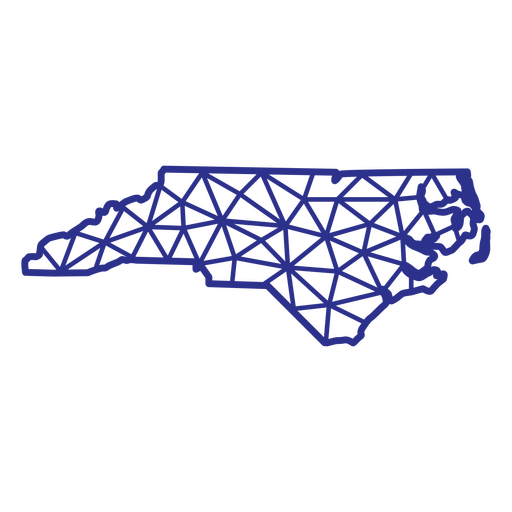
North Carolina map polygonal PNG Design
Choose a folder
All favorites
Create new
Save
North Carolina map polygonal PNG Design
Premium
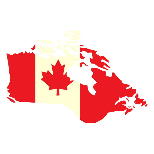
Geographic country with canada flag flat PNG Design
Choose a folder
All favorites
Create new
Save
Geographic country with canada flag flat PNG Design
Premium
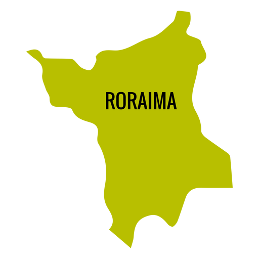
Roraima state map PNG Design
Choose a folder
All favorites
Create new
Save
Roraima state map PNG Design
Premium
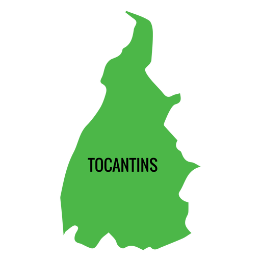
Tocantins state map PNG Design
Choose a folder
All favorites
Create new
Save
Tocantins state map PNG Design
A silhouette of the map of Belgium PNG Design
Choose a folder
All favorites
Create new
Save
A silhouette of the map of Belgium PNG Design
Premium
Alagoas state map PNG Design
Choose a folder
All favorites
Create new
Save
Alagoas state map PNG Design
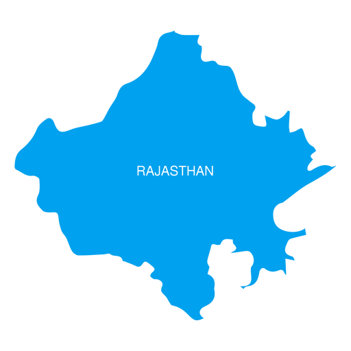
Premium
Rajasthan state map PNG Design
Choose a folder
All favorites
Create new
Save
Rajasthan state map PNG Design
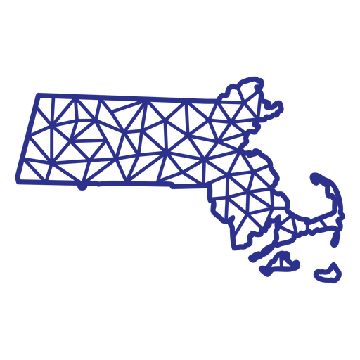
Massachusetts map polygonal PNG Design
Choose a folder
All favorites
Create new
Save
Massachusetts map polygonal PNG Design
Premium
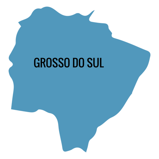
Mato grosso do sul state map PNG Design
Choose a folder
All favorites
Create new
Save
Mato grosso do sul state map PNG Design
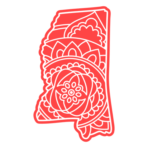
Mississippi state mandala map element PNG Design
Choose a folder
All favorites
Create new
Save
Mississippi state mandala map element PNG Design
Premium
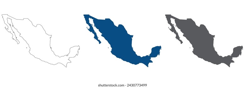
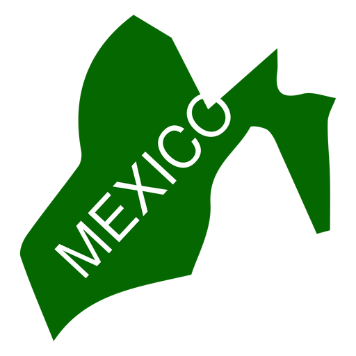
Mexico state map PNG Design
Choose a folder
All favorites
Create new
Save
Mexico state map PNG Design
Premium
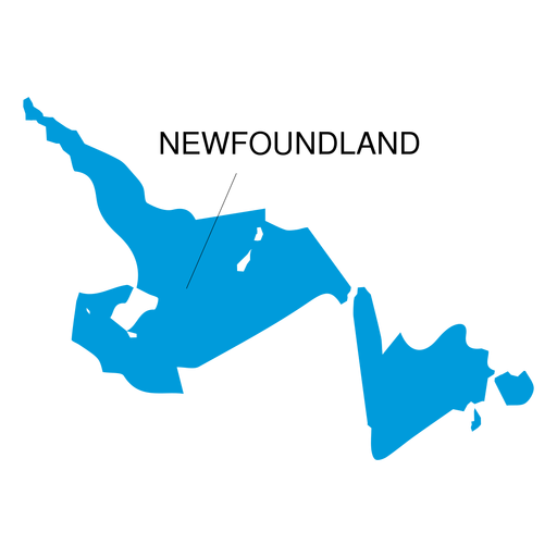
Newfoundland and labrador province map PNG Design
Choose a folder
All favorites
Create new
Save
Newfoundland and labrador province map PNG Design
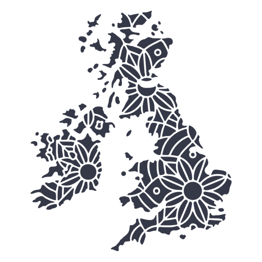
United Kingdom map silhouette mandala cut out PNG Design
Choose a folder
All favorites
Create new
Save
United Kingdom map silhouette mandala cut out PNG Design
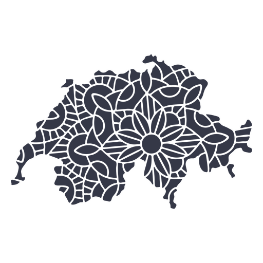
Switzerland map silhouette mandala cut out PNG Design
Choose a folder
All favorites
Create new
Save
Switzerland map silhouette mandala cut out PNG Design
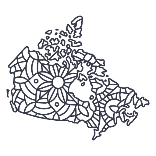
Canada map silhouette mandala stroke PNG Design
Choose a folder
All favorites
Create new
Save
Canada map silhouette mandala stroke PNG Design
Boost Your Business
With The Leading Graphic Platform For Merch.
SEE PLANS
Next
of 18
prev page
next page