Design Library
Explore Designs
New Merch Designs
Trending Merch Designs
Vectors
PNGs & SVGs
Mockups
T-Shirts
T-Shirt PSD Templates
KDP Designs
Phone Cases
Pillows
Tote Bags
Posters
Mugs
Design Tools
Designer
New!
T-shirt Maker
Mockup Generator
Quote Generator
Logo Maker
Resources
Merch Digest
Blog
Help Center
Creators Program
Learn About Merch
Changelog
Pricing
Loading...
Sign Up
Login
All
estados
Design Library
Explore Designs
New Merch Designs
Trending Merch Designs
Vectors
PNGs & SVGs
Mockups
T-Shirts
T-Shirt PSD Templates
KDP Designs
Phone Cases
Pillows
Tote Bags
Posters
Mugs
Design Tools
Designer
New!
T-shirt Maker
Mockup Generator
Quote Generator
Logo Maker
Resources
Merch Digest
Blog
Help Center
Creators Program
Learn About Merch
Changelog
PLANS
All
estados
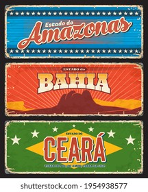
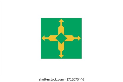
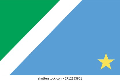
3369 estados designs graphics for t-shirt and print on demand merch
Download estados t-shirt designs and other merch graphics like book covers, phone cases, tote bags and more.
Sort by
Most relevant
Sponsored results by
Get 15% off with code: VEXELS15
Show more
Premium
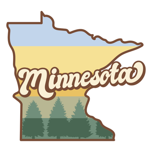
Minnesota retro sunset states usa PNG Design
Choose a folder
All favorites
Create new
Save
Minnesota retro sunset states usa PNG Design
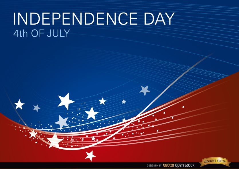
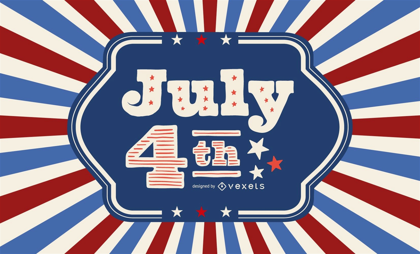
USA wavy background July 4th
Choose a folder
All favorites
Create new
Save
USA wavy background July 4th
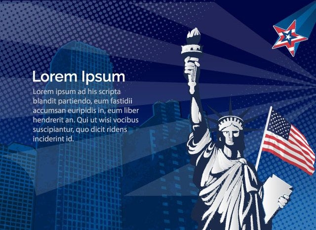
Statue Liberty USA
Choose a folder
All favorites
Create new
Save
Statue Liberty USA
American USA background
Choose a folder
All favorites
Create new
Save
American USA background
Premium
United States design template
Choose a folder
All favorites
Create new
Save
United States design template
Tileable pattern
Premium
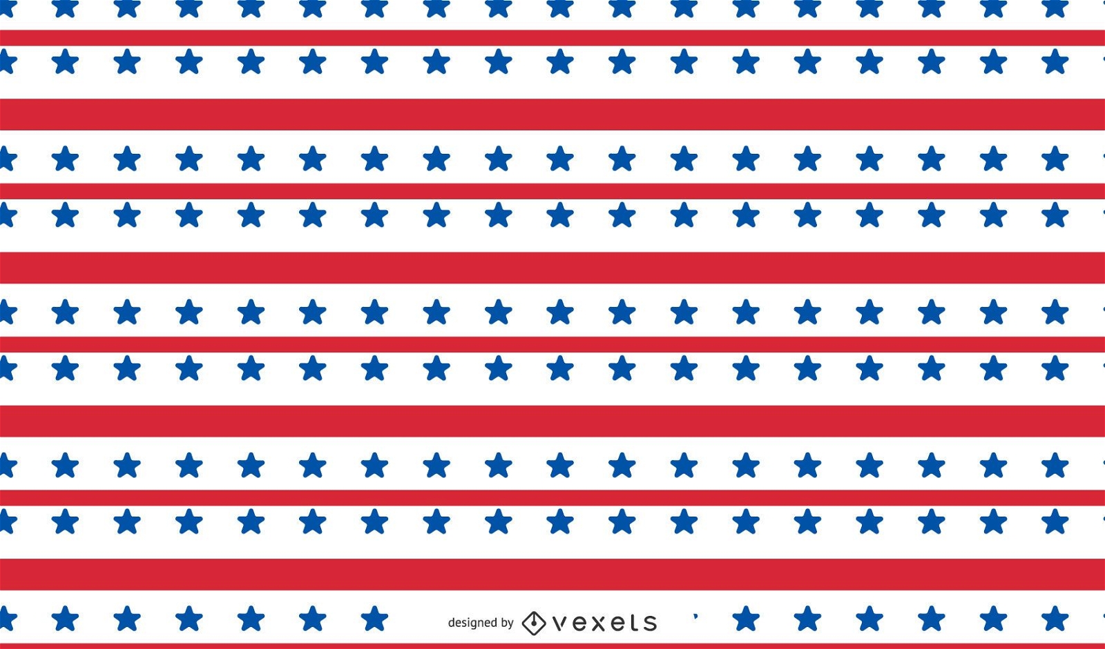
United States pattern design
Choose a folder
All favorites
Create new
Save
United States pattern design
Premium
USA stroke icon set
Choose a folder
All favorites
Create new
Save
USA stroke icon set
USA colors ribbons set
Choose a folder
All favorites
Create new
Save
USA colors ribbons set
USA Independence Day Vintage Card
Choose a folder
All favorites
Create new
Save
USA Independence Day Vintage Card
Print ready
for Merch
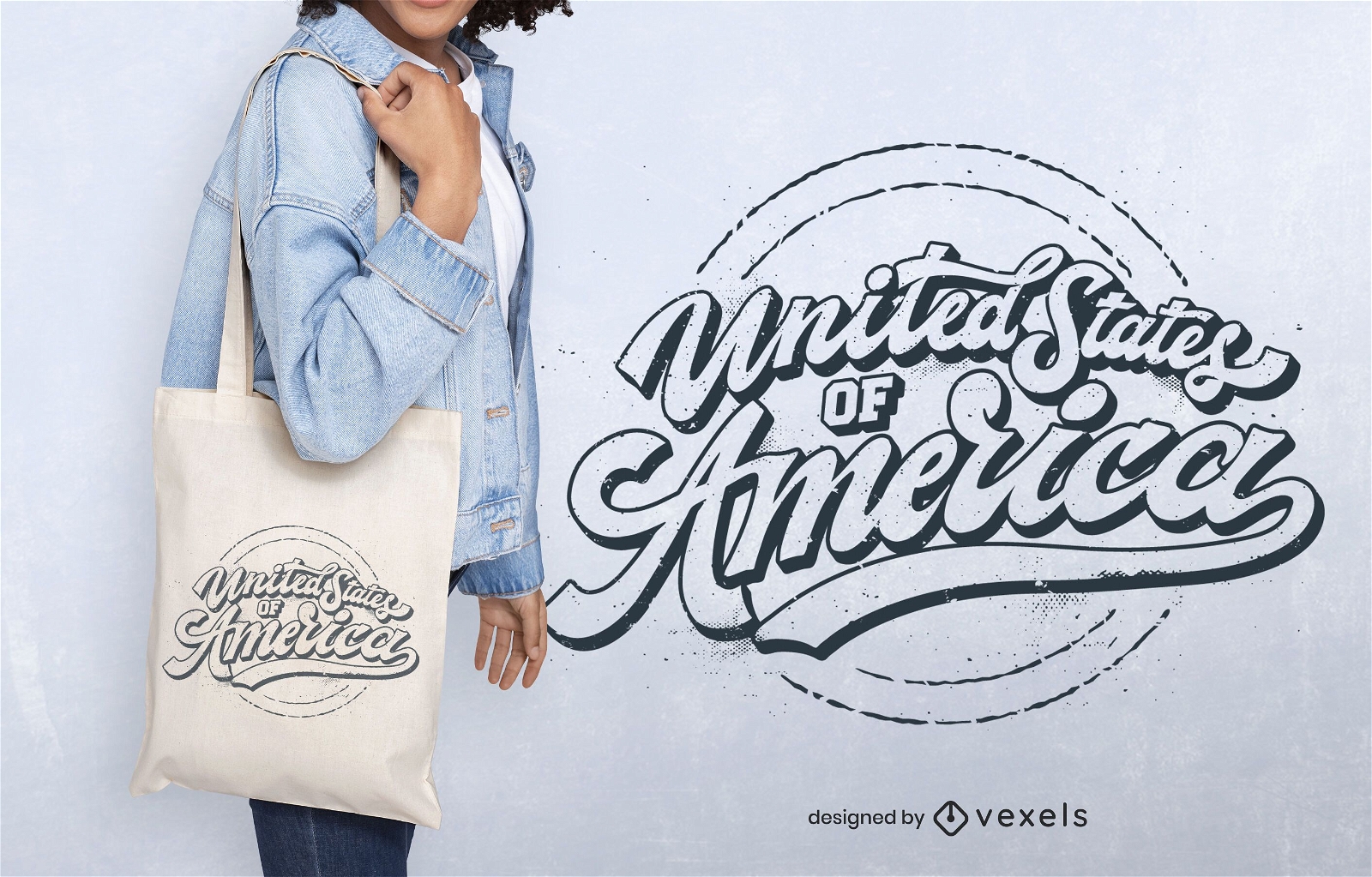
United states america tote bag design
Choose a folder
All favorites
Create new
Save
United states america tote bag design
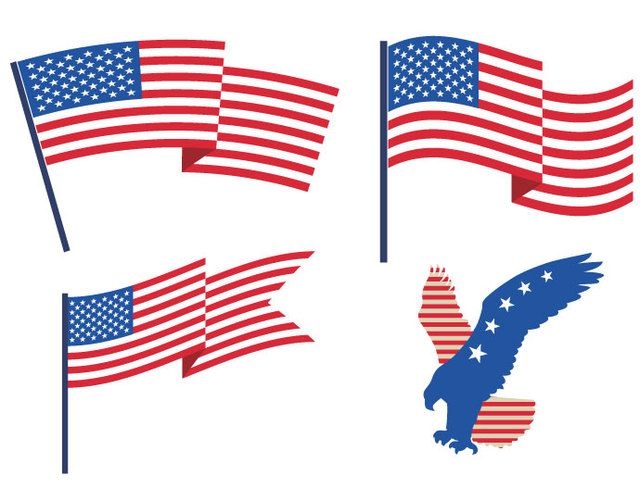
USA Flags Eagle
Choose a folder
All favorites
Create new
Save
USA Flags Eagle
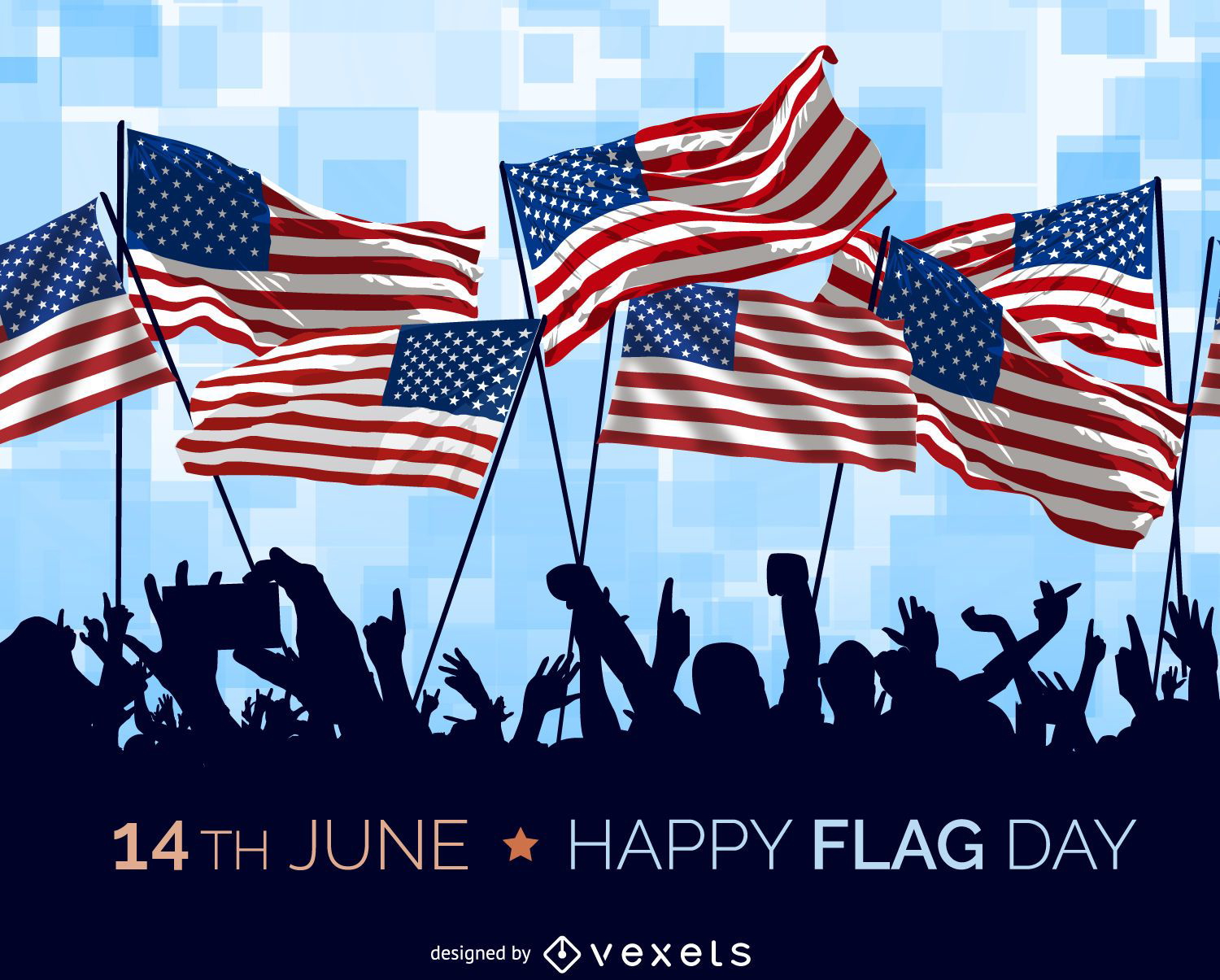
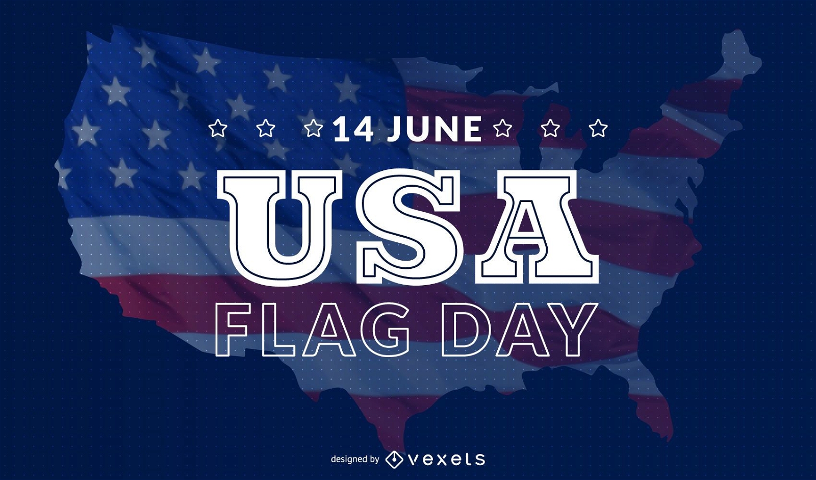
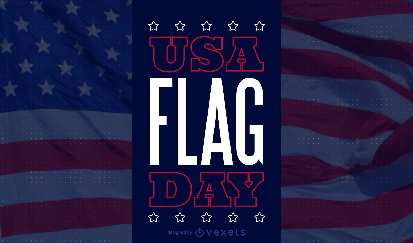
USA Flag Day illustration
Choose a folder
All favorites
Create new
Save
USA Flag Day illustration
Print ready
for Merch
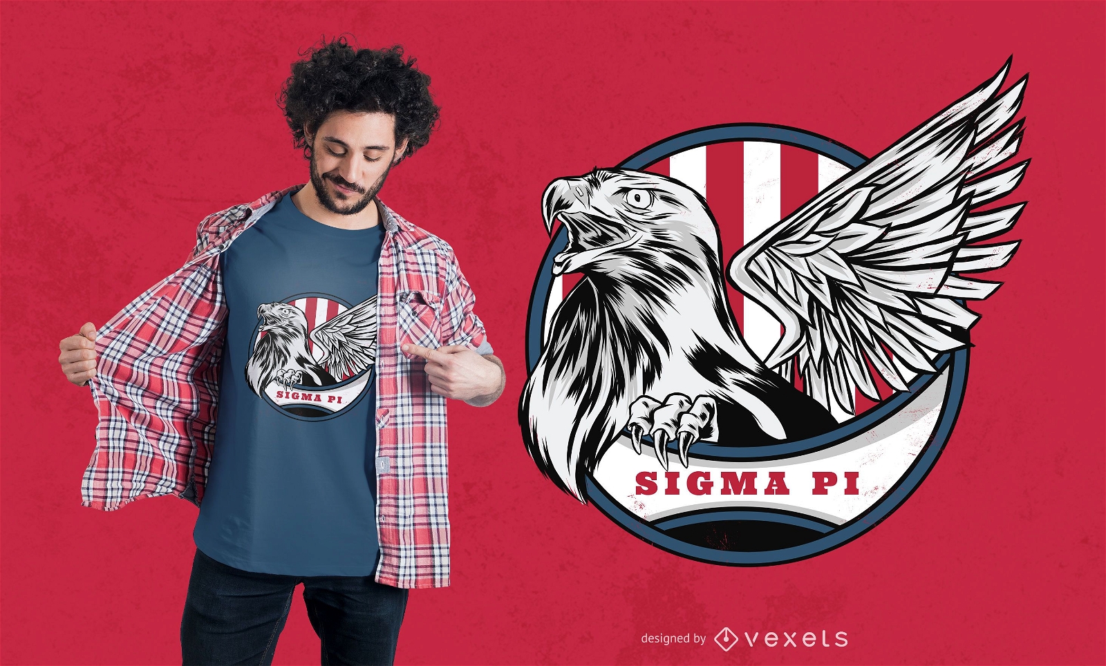
United States Eagle T-shirt Design
Choose a folder
All favorites
Create new
Save
United States Eagle T-shirt Design
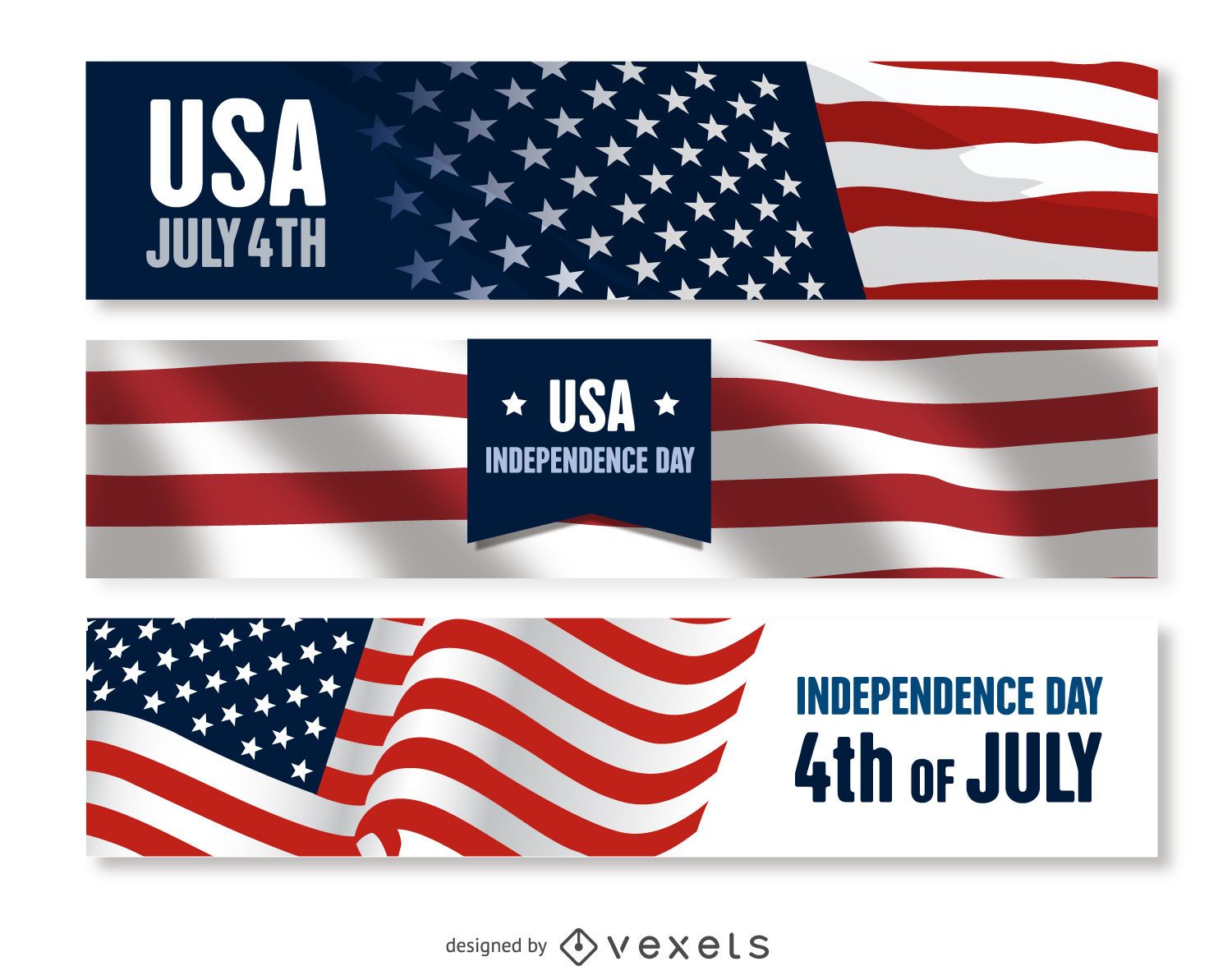
US Independence Day banner set
Choose a folder
All favorites
Create new
Save
US Independence Day banner set
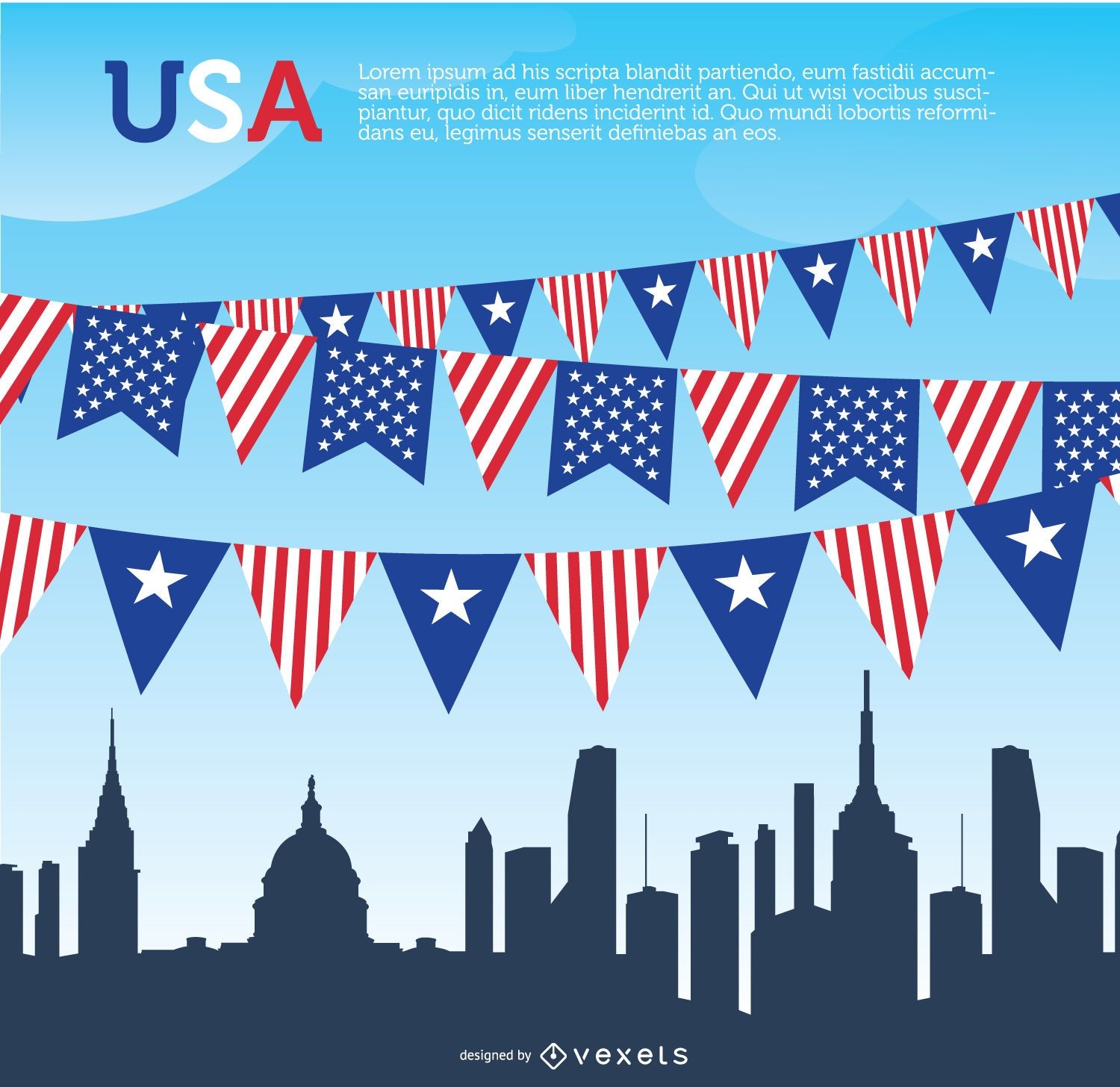
USA pennants and Skyline
Choose a folder
All favorites
Create new
Save
USA pennants and Skyline
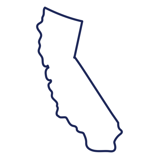
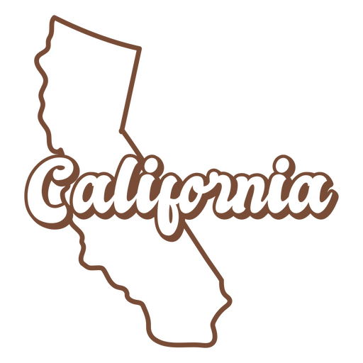
California usa map stroke PNG Design
Choose a folder
All favorites
Create new
Save
California usa map stroke PNG Design
Premium
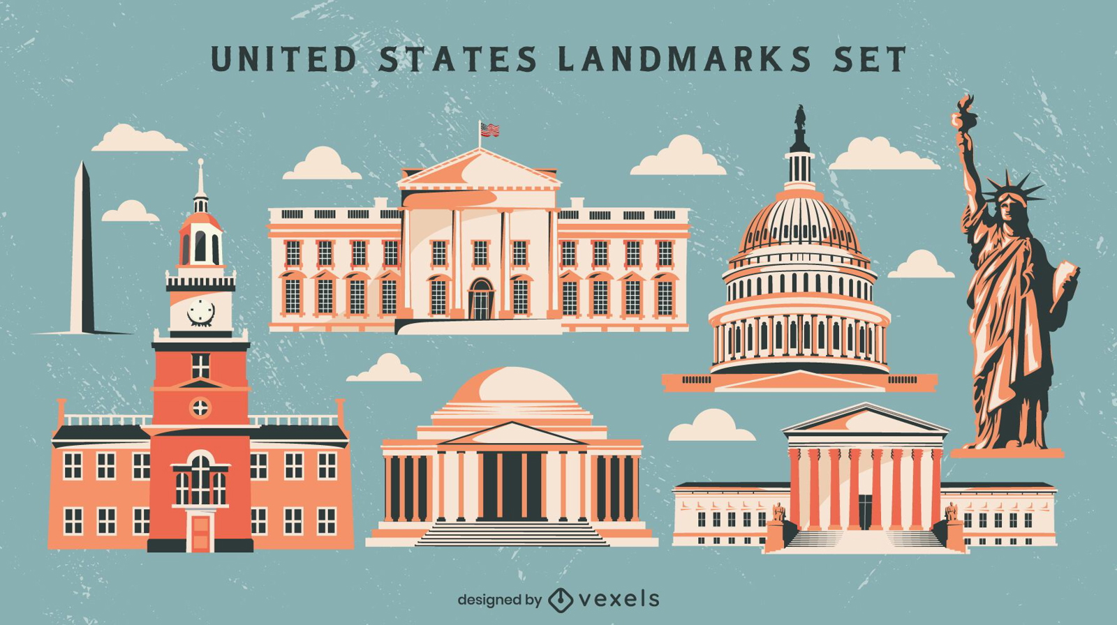
United states landmarks vintage style set
Choose a folder
All favorites
Create new
Save
United states landmarks vintage style set
Premium
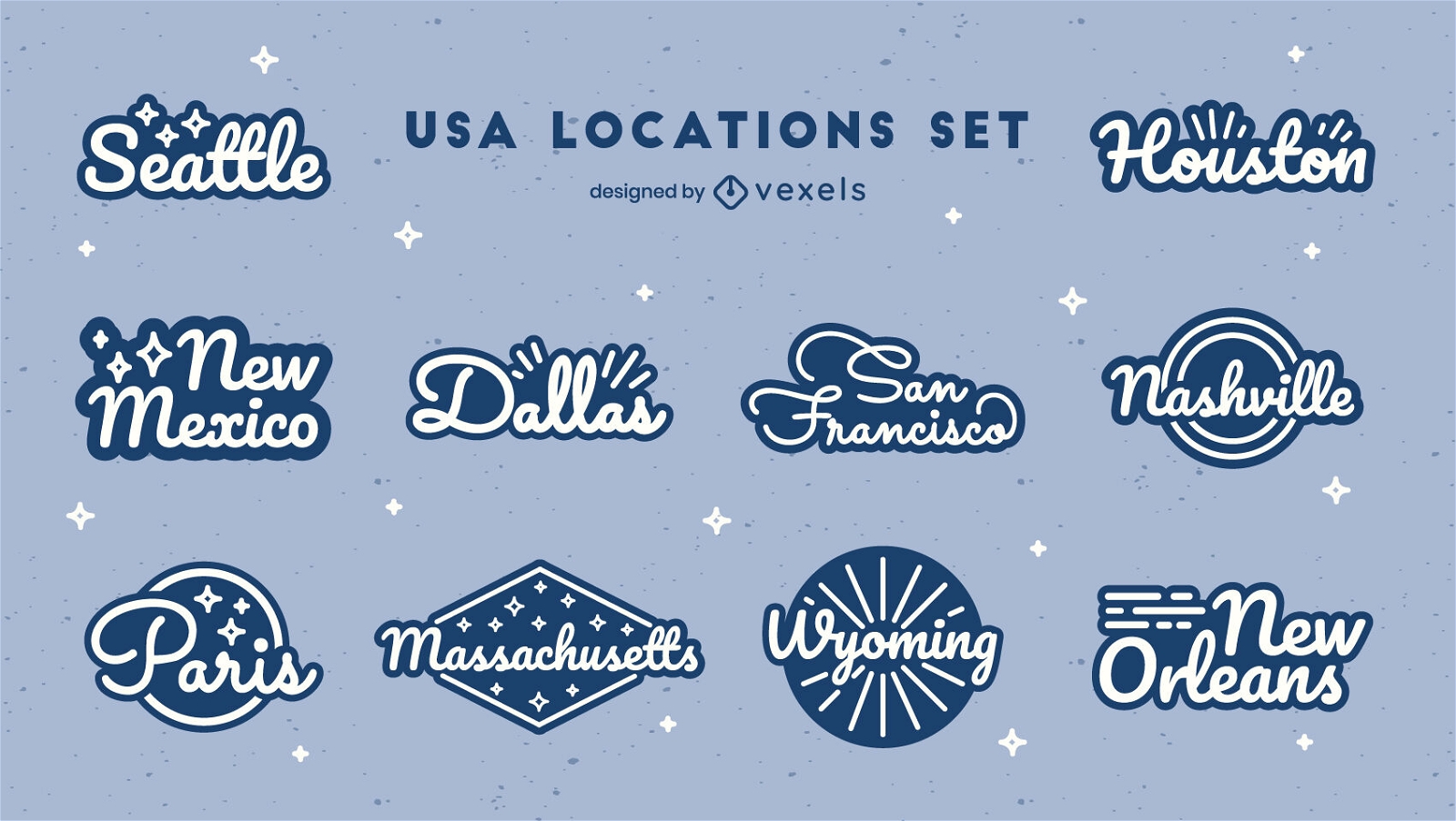
US states lettering badges set
Choose a folder
All favorites
Create new
Save
US states lettering badges set
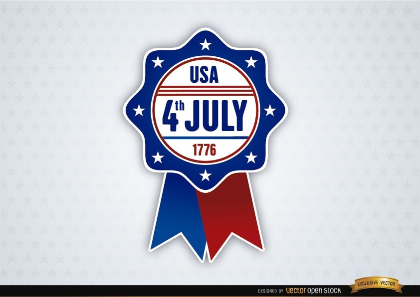
USA July 4th Ribbon
Choose a folder
All favorites
Create new
Save
USA July 4th Ribbon
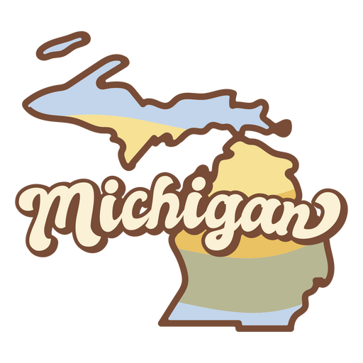
Michigan usa map silhouette PNG Design
Choose a folder
All favorites
Create new
Save
Michigan usa map silhouette PNG Design
USA national symbols icons pack
Choose a folder
All favorites
Create new
Save
USA national symbols icons pack
USA flag day background
Choose a folder
All favorites
Create new
Save
USA flag day background
Premium
United states maps retro lettering set
Choose a folder
All favorites
Create new
Save
United states maps retro lettering set
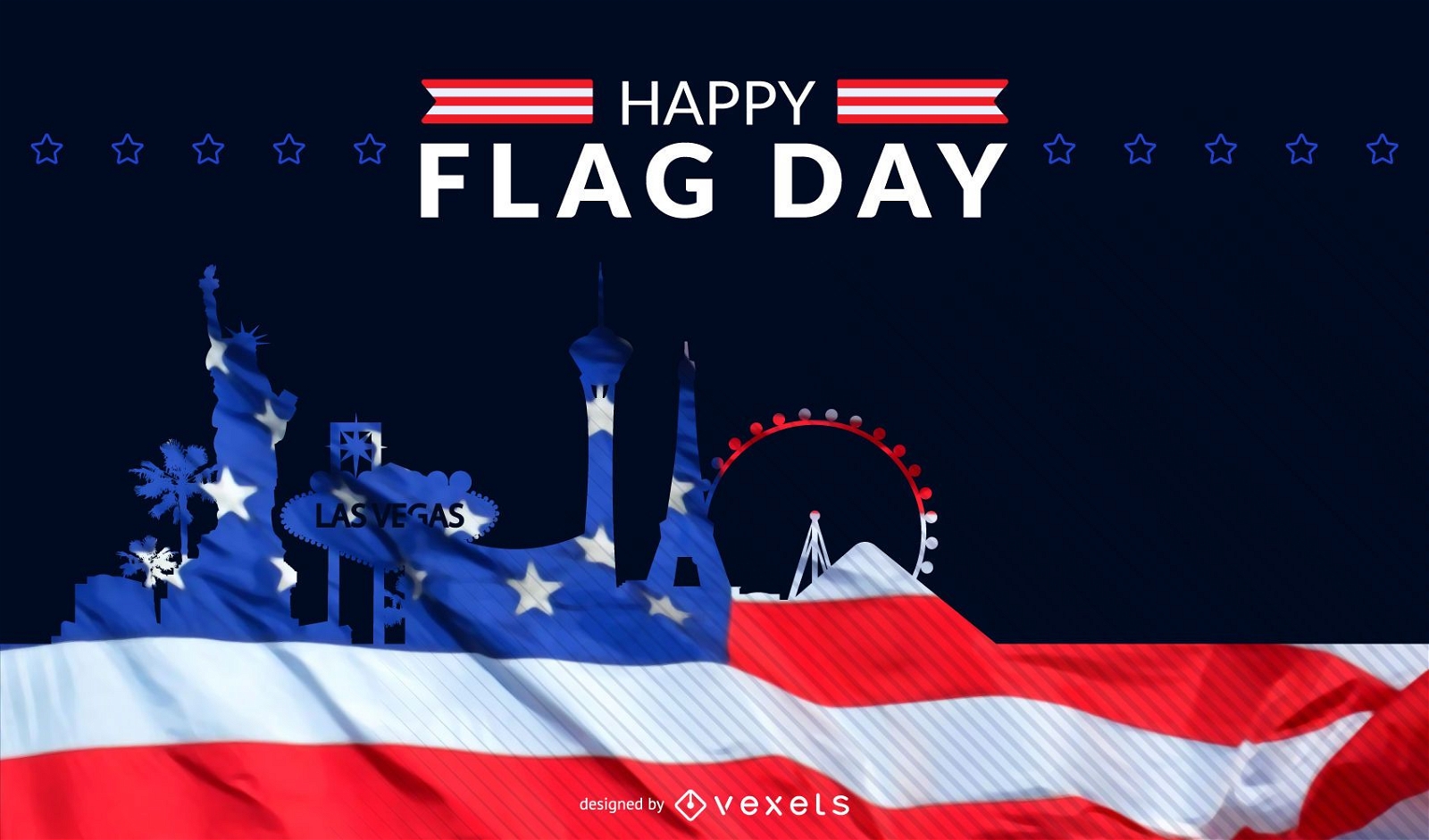
United States flag day skyline
Choose a folder
All favorites
Create new
Save
United States flag day skyline
Premium
Michigan retro sunset usa states PNG Design
Choose a folder
All favorites
Create new
Save
Michigan retro sunset usa states PNG Design
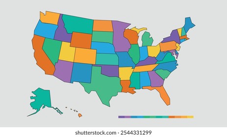
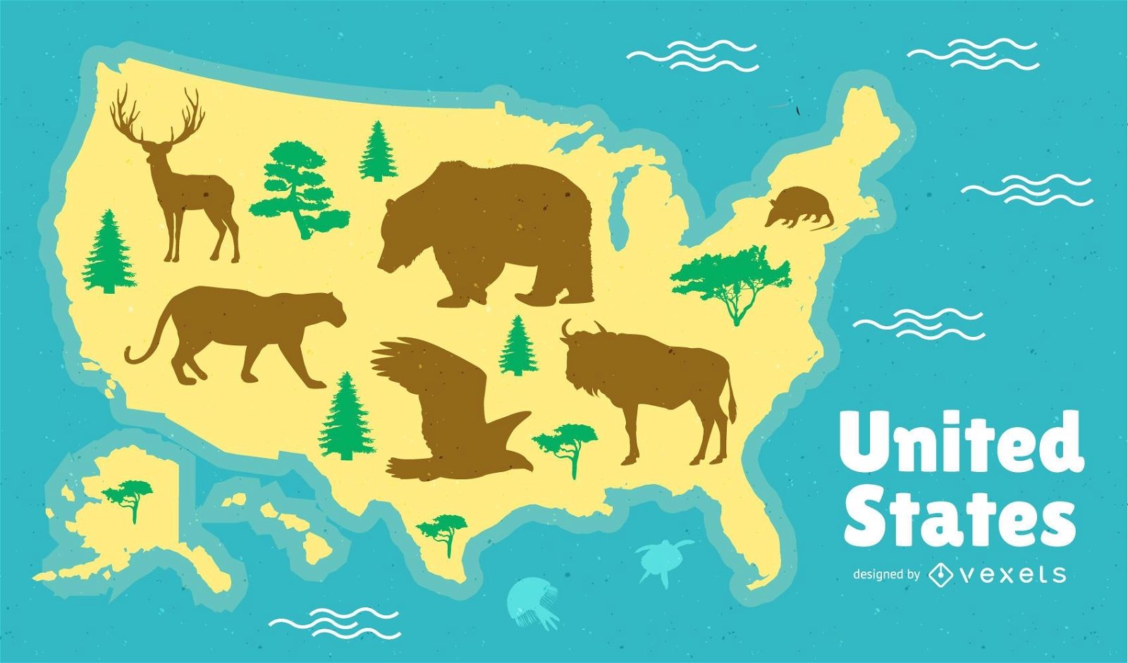
United States Map Design
Choose a folder
All favorites
Create new
Save
United States Map Design
Print ready
Premium
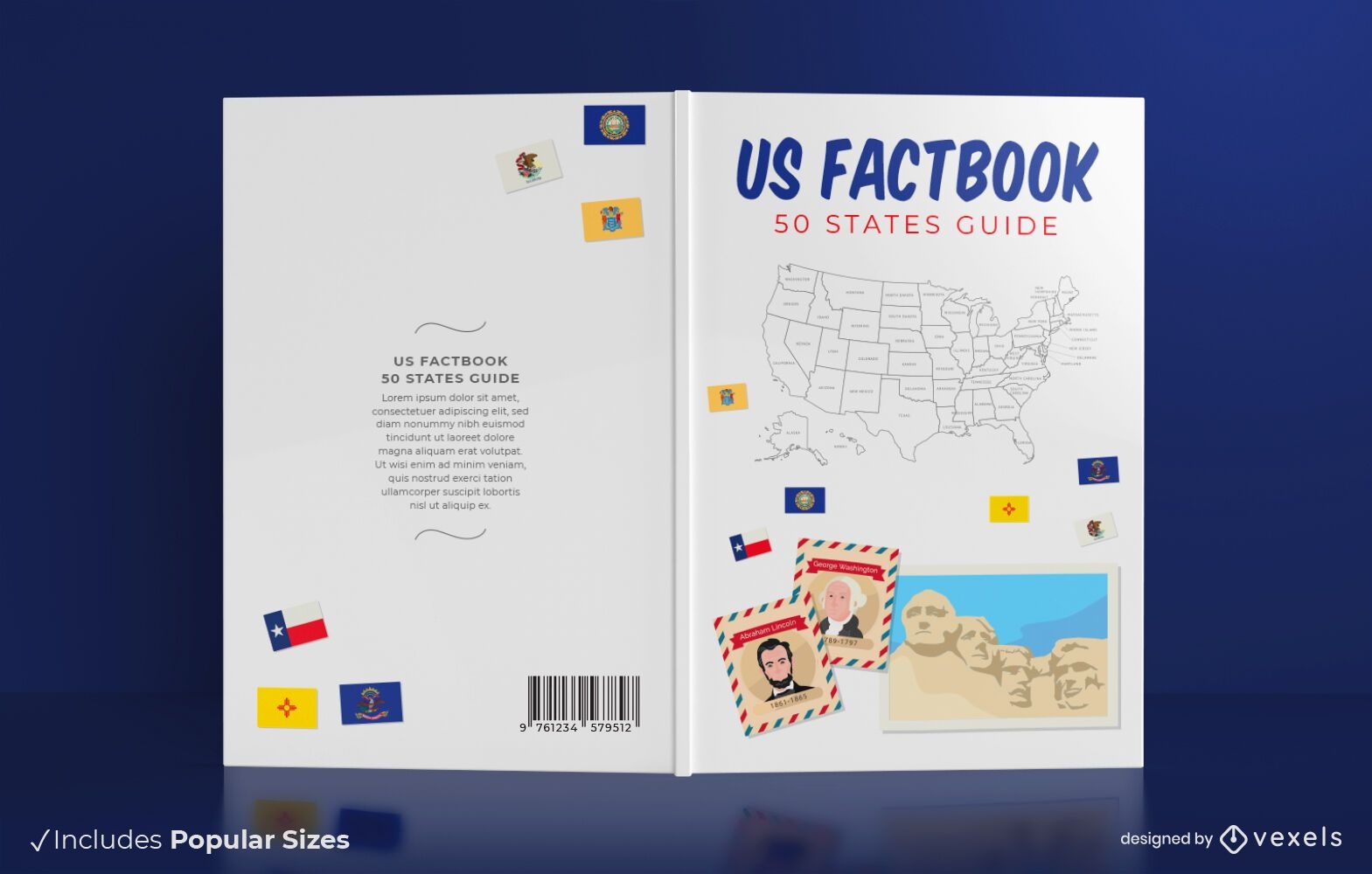
50 states book cover design
Choose a folder
All favorites
Create new
Save
50 states book cover design
Premium
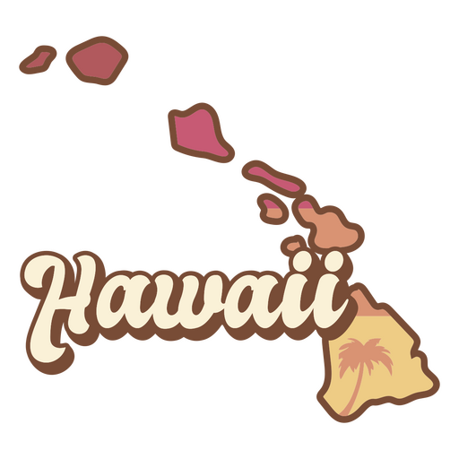
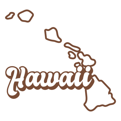
Hawaii retro sunset usa states PNG Design
Choose a folder
All favorites
Create new
Save
Hawaii retro sunset usa states PNG Design
Premium
Flat United States icon set
Choose a folder
All favorites
Create new
Save
Flat United States icon set
Premium
USA dresses stroke set
Choose a folder
All favorites
Create new
Save
USA dresses stroke set
Print ready
Premium
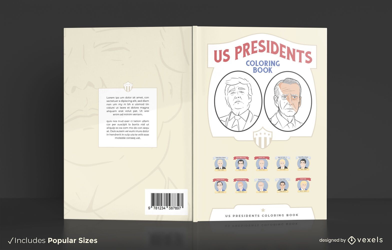
US presidents coloring book cover design
Choose a folder
All favorites
Create new
Save
US presidents coloring book cover design
United States flag day background
Choose a folder
All favorites
Create new
Save
United States flag day background
Editable text
Independence day usa background
Choose a folder
All favorites
Create new
Save
Independence day usa background
Premium
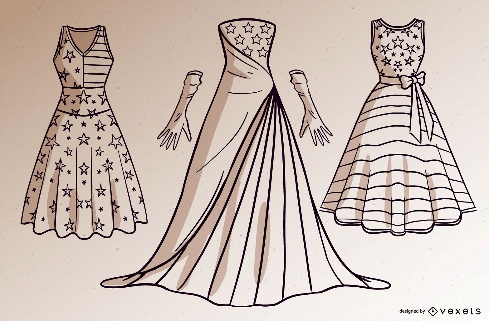
USA dresses vector set
Choose a folder
All favorites
Create new
Save
USA dresses vector set
Flat stroke USA icon set
Choose a folder
All favorites
Create new
Save
Flat stroke USA icon set
Illinois usa map silhouette PNG Design
Choose a folder
All favorites
Create new
Save
Illinois usa map silhouette PNG Design
Premium
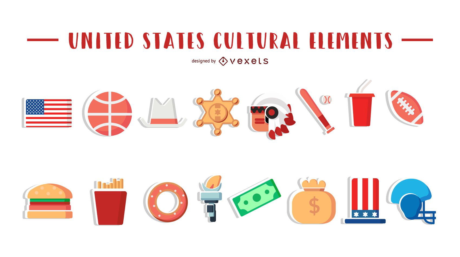
United States Cultural Elements
Choose a folder
All favorites
Create new
Save
United States Cultural Elements
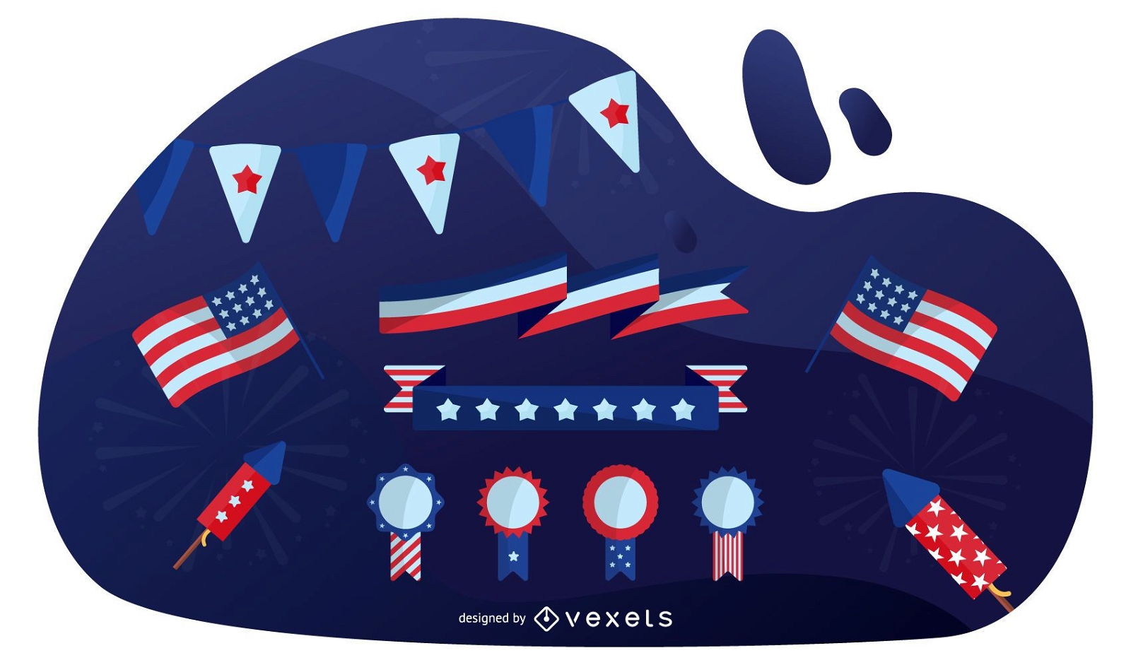
USA Patriotic Elements Design Set
Choose a folder
All favorites
Create new
Save
USA Patriotic Elements Design Set
Premium
Usa flag language icon circle PNG Design
Choose a folder
All favorites
Create new
Save
Usa flag language icon circle PNG Design
Patriotic Icons USA
Choose a folder
All favorites
Create new
Save
Patriotic Icons USA
Print ready
for Merch
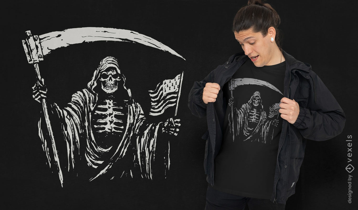
Grim reaper USA flag t-shirt design
Choose a folder
All favorites
Create new
Save
Grim reaper USA flag t-shirt design
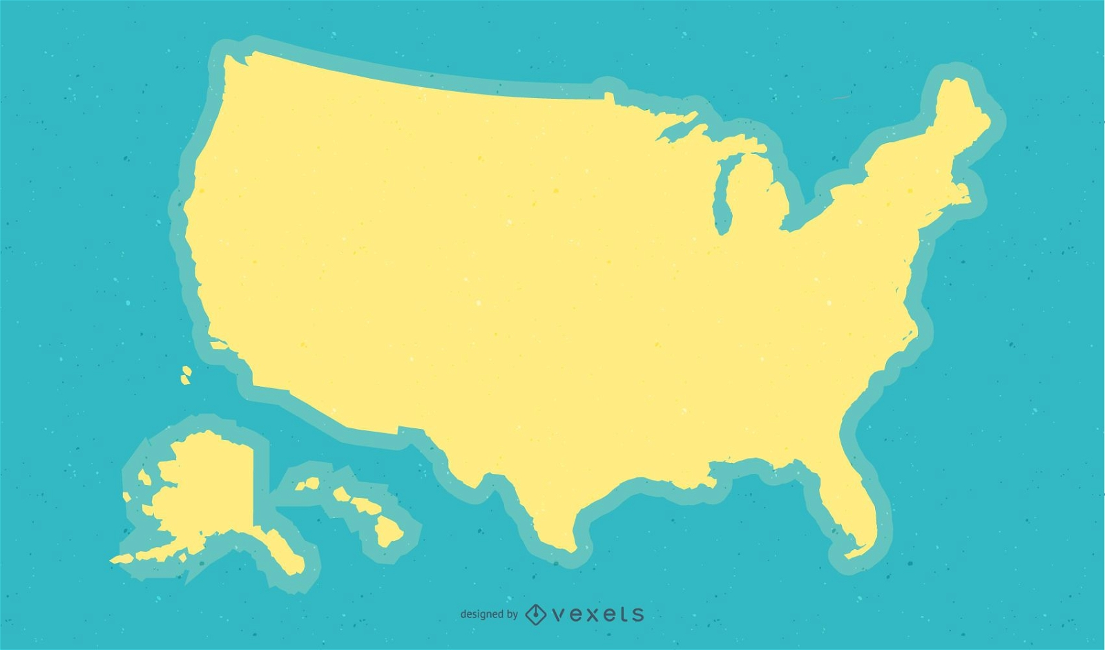
Yellow USA Map Background Design
Choose a folder
All favorites
Create new
Save
Yellow USA Map Background Design
Premium
Hawaii retro stroke usa states PNG Design
Choose a folder
All favorites
Create new
Save
Hawaii retro stroke usa states PNG Design
Premium
Texas lettering usa states PNG Design
Choose a folder
All favorites
Create new
Save
Texas lettering usa states PNG Design
Premium
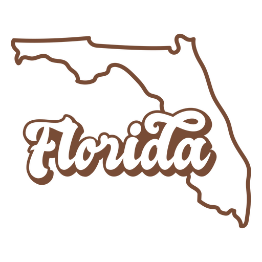
Florida retro stroke usa states PNG Design
Choose a folder
All favorites
Create new
Save
Florida retro stroke usa states PNG Design
Premium
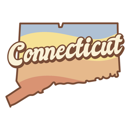
Connecticut retro sunset usa states PNG Design
Choose a folder
All favorites
Create new
Save
Connecticut retro sunset usa states PNG Design
Premium
California retro stroke usa states PNG Design
Choose a folder
All favorites
Create new
Save
California retro stroke usa states PNG Design
Editable text
Print ready
for Merch
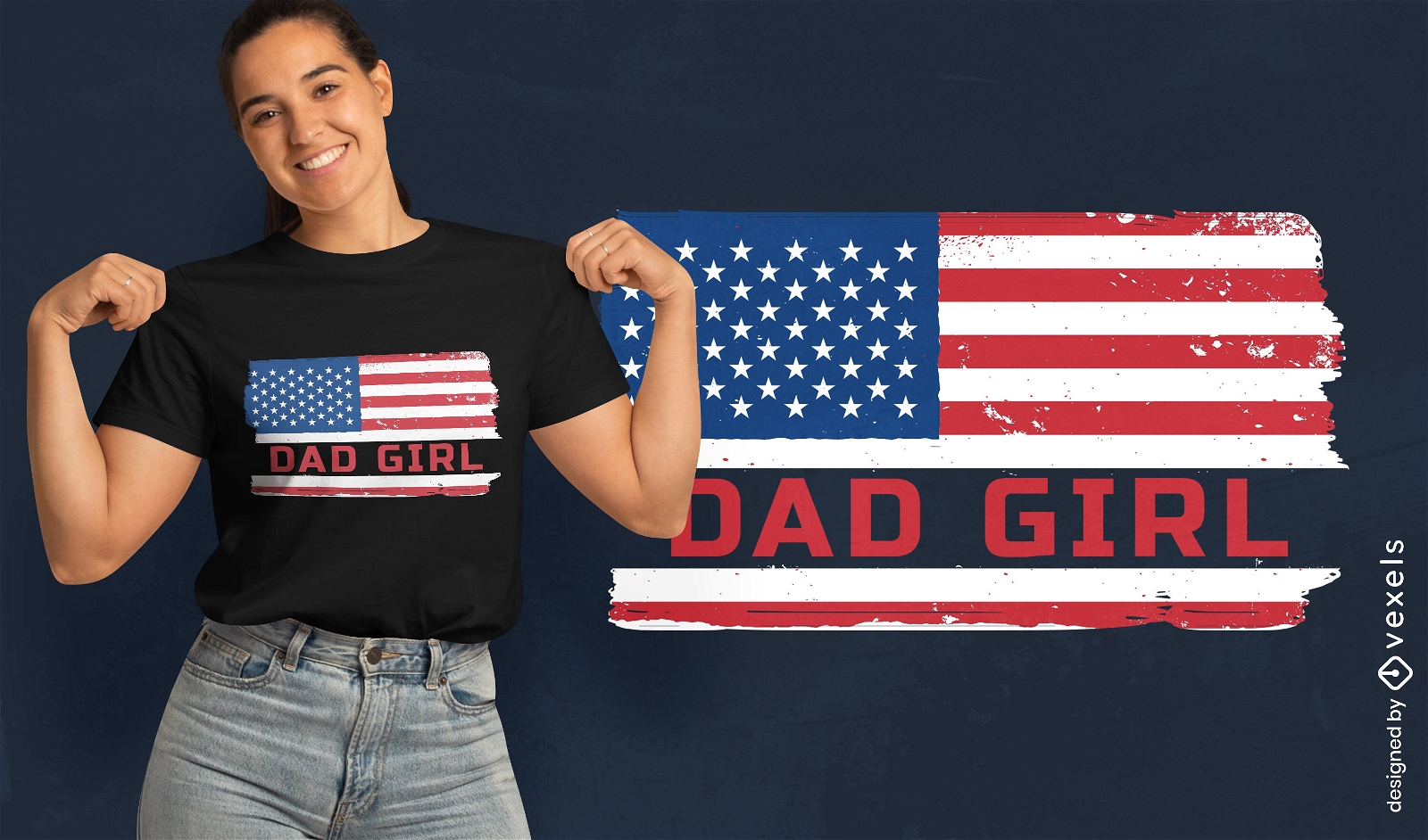
Dad girl US flag t-shirt design
Choose a folder
All favorites
Create new
Save
Dad girl US flag t-shirt design
Editable text
Print ready
for Merch
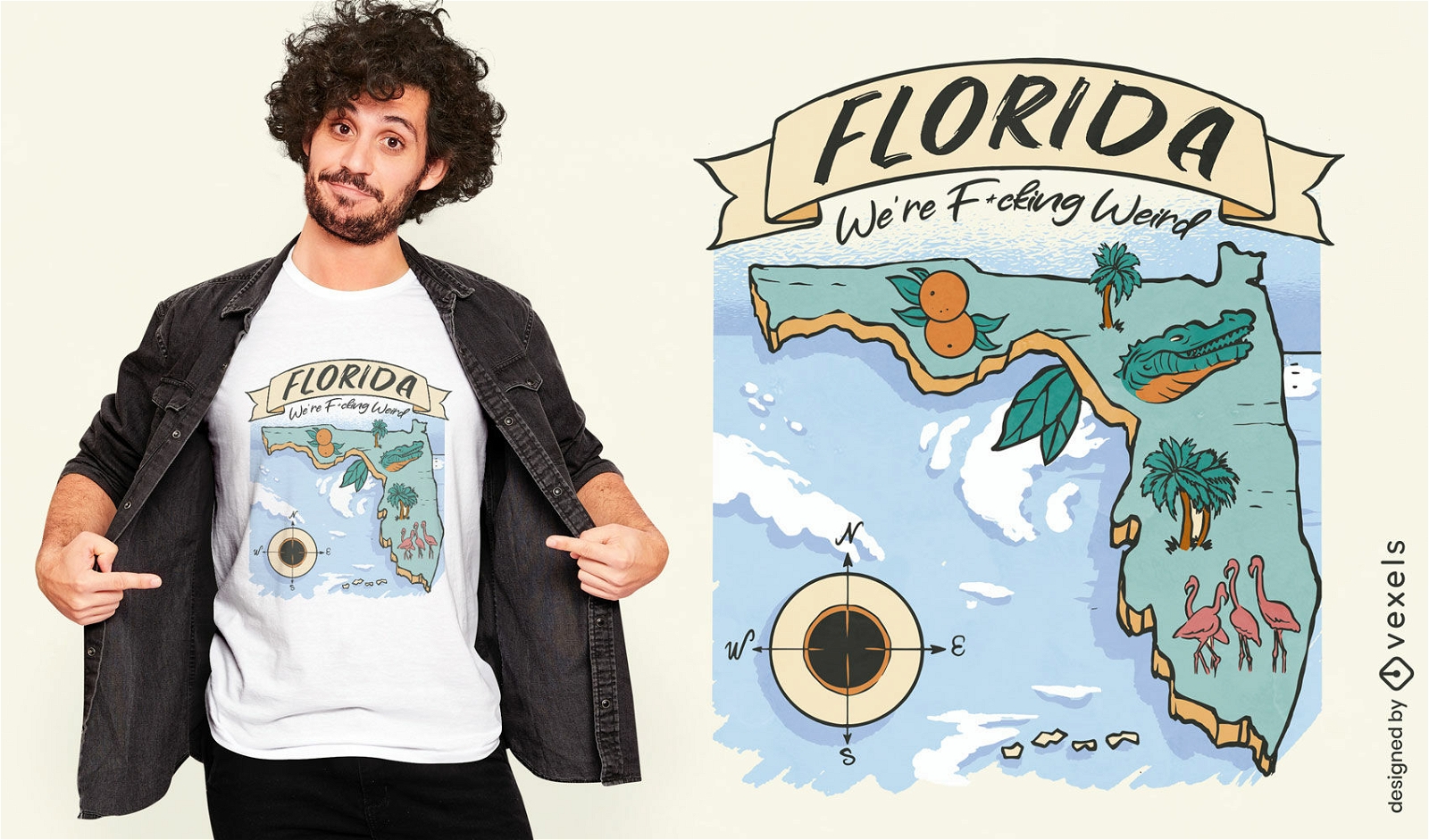
Florida United States map t-shirt design
Choose a folder
All favorites
Create new
Save
Florida United States map t-shirt design
Premium
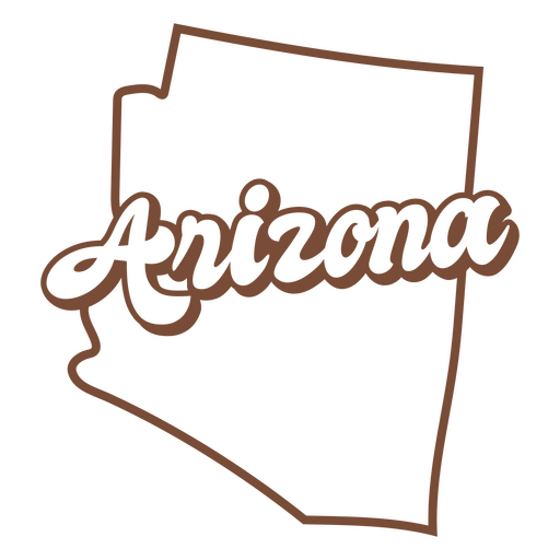
Arizona retro stroke usa states PNG Design
Choose a folder
All favorites
Create new
Save
Arizona retro stroke usa states PNG Design
Boost Your Business
With The Leading Graphic Platform For Merch.
SEE PLANS
Next
of 68
prev page
next page