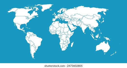
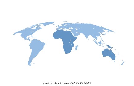
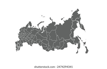
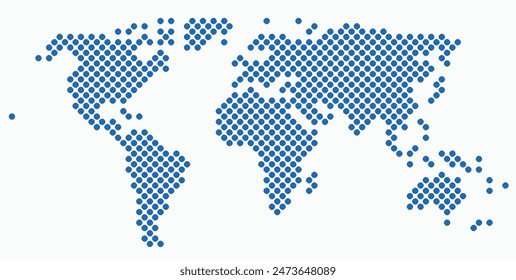
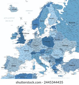
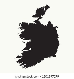
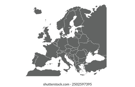
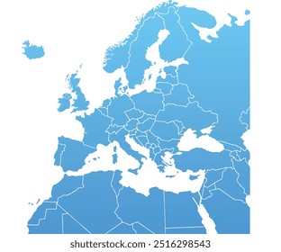
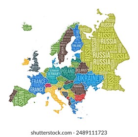
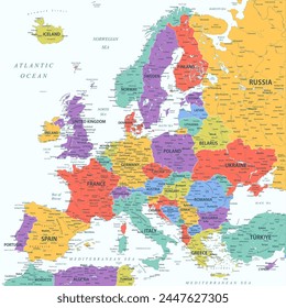
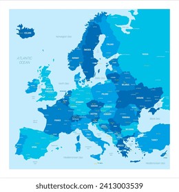
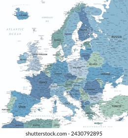
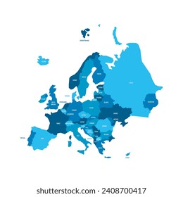
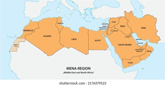
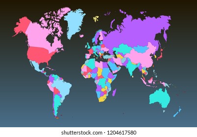
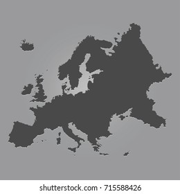
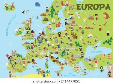
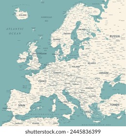
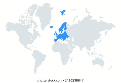
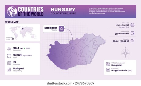
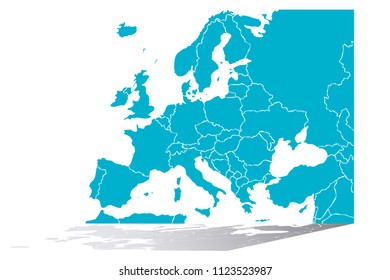
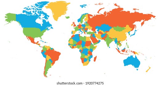
85 europe map designs graphics for t-shirt and print on demand merch

Download europe map t-shirt designs and other merch graphics like book covers, phone cases, tote bags and more.

Sort by

Most relevant
World Map with blue ocean background
Earth set 3D globes with world maps, set Earth globe hemispheres with continents, world maps with shadow on transparent background, view from different positions
Vector illustration of luxembourg map overlaid with the national flag, highlighting the country's geographic outline combined with its national colors.
world map isolated modern colorful style. for website layouts, background, education, precise, customizable, Travel worldwide, map silhouette backdrop, earth geography, political, reports.
Russian map isolated on white background. for website layouts, background, education, precise, customizable, Travel worldwide, map silhouette backdrop, earth geography, political, reports.
Circle shape world map on white background. Vector illustration.
Europe - Highly Detailed Vector Map of the Europe. Ideally for the Print Posters. Faded Blue White Colors
Outline map of Ireland. Isolated vector illustration.
Europe map isolated on white background for website layouts,background,education, precise,customizable,Travel worldwide,map silhouette backdrop,earth geography, political,reports.
National flags set. World flags. Flags of countries. Countries flags collection.
Europe simple blue map on white background.
Europe shape. Continent word cloud with country division. Europe colored illustration. Country names cloud. Vector illustration.
Travel all over the world. Map of the world with various countries and cities marked with blue and yellow pins. Lines represent relocate around the world. Vector illustration
Germany country simplified map. Orange silhouette with thick black sharp contour outline isolated on white background. Simple vector icon
Wireframe Global Map with Interconnected Network Points, lines and triangles. Vector Illustration
World map or mapa mundi on a white colored background
Europe - Highly Detailed Colored Vector Map of the Europe. Ideally for the Print Posters
Political map of Europe with cities. Blue colored vector map with capital and other city dots, country and water labels.
Europe - Highly Detailed Vector Map of the Europe. Ideally for the Print Posters. Blue Green White Colors
Political map of Europe. Blue colored land with country name labels on white background. Ortographic projection. Vector illustration
A map of Germany depicted in zeros and ones in the form of a circle. The capital, Berlin, is shown in the center of the circle
Perfect for presentations or business reports, this gray Europe map adds a professional touch. Showcase global operations, data, or strategies with a clean, modern design that complements corporate.
Map of Europe from Dots
Spain map - concept of communication technology, graphic of low poly.
World map. Gray map template for website pattern. Vector illustration of flat Earth isolated on white background. World map icon. Flat globe silhouette. Surface of continents. Simple design.
Krakow mapa Cracow Poland vector map Old town plan
Global network connection. World map point and line composition concept of global business. Vector Illustration
Online Delivery global logistics on mobile, delivery within the Europe. Vector illustration
Map of the Mena Region, Middle East and North Africa
Color world map vector
Black color flat Europe map vector
Funny cartoon map of Europe in spanish with childrens of different nationalities, monuments, animals and objects of all the countries. Vector illustration for preschool education and kids design.
Set of flat earth world maps with round dots in different resolution. Round pixel pattern. Modern digital globe. Black dots on white background. Worldmap template for website, infographics, design.
Europe - Highly Detailed Vector Map of the Europe. Ideally for the Print Posters. Faded Blue Green White Colors
The continent of Europe on the world map. Highlighted continent of Europe on the world map in minimalistic style.
Hungary Map Detailed Insights on Geography, Population and Key Facts-Vector Design
Isometric political map of Europe. Colorful blank map on white background. 3D vector illustration
European Union location within Europe 3d isometric map
Beyaz arka planda siyah noktalı dünya haritası. Tam boyutlu vektör Illustrator.
Vector illustration with Europe continent with borders of countries and names of states. Political map in brown colors with regions. Beige background
Europe 3d isometric map with borders states
Three Seas Initiative, 3SI or TSI, political map. Also known as BABS for Baltic, Adriatic, Black Sea Initiative. A forum of 13 European Union states, with Moldova and Ukraine as partner-participant.
100 Best-Selling Infographics in 2021. Presentation templates. Diagrams, charts, arrows, maps, 3D elements... Limited time offer - ends on January 1, 2022.
Vector illustration of Ireland in blue on the grey model of Europe map with zooming replica of country.
World map. Color modern vector
World Globe. World globe illustration. Transparent earth globes. Realistic world map isolated on transparent background
High detailed Europe map isolated on a white background. Europe background. Map of Europe. Vector illustration
Political map of Europe. Blue colored land with country name labels on white background. Ortographic projection. Vector illustration
Blue map of Europe.
Colorful map of World. High detail blank political map. Vector illustration.
Sponsored results by Shutterstock Logo
Get 15% off with code: VEXELS15

of 2