Design Library
Explore Designs
New Merch Designs
Trending Merch Designs
Vectors
PNGs & SVGs
Mockups
T-Shirts
T-Shirt PSD Templates
KDP Designs
Phone Cases
Pillows
Tote Bags
Posters
Mugs
Design Tools
Designer
New!
T-shirt Maker
Mockup Generator
Quote Generator
Logo Maker
Resources
Merch Digest
Blog
Help Center
Creators Program
Learn About Merch
Changelog
Pricing
Loading...
Sign Up
Login
All
map
Design Library
Explore Designs
New Merch Designs
Trending Merch Designs
Vectors
PNGs & SVGs
Mockups
T-Shirts
T-Shirt PSD Templates
KDP Designs
Phone Cases
Pillows
Tote Bags
Posters
Mugs
Design Tools
Designer
New!
T-shirt Maker
Mockup Generator
Quote Generator
Logo Maker
Resources
Merch Digest
Blog
Help Center
Creators Program
Learn About Merch
Changelog
PLANS
All
map
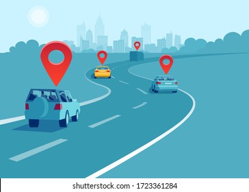
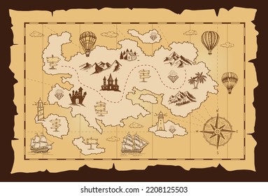
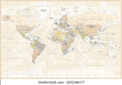
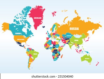
1752 map designs graphics for t-shirt and print on demand merch
Download map t-shirt designs and other merch graphics like book covers, phone cases, tote bags and more.
Related:
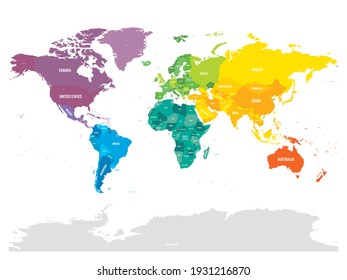
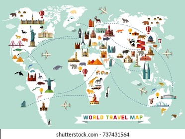
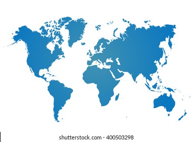
world map
,
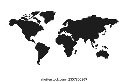
map silhouette
Sort by
Most relevant
Sponsored results by
Get 15% off with code: VEXELS15
Show more
Israel Mandala Map PNG Design
Choose a folder
All favorites
Create new
Save
Israel Mandala Map PNG Design
Iowa map color stroke PNG Design
Choose a folder
All favorites
Create new
Save
Iowa map color stroke PNG Design
Switzerland map silhouette mandala cut out PNG Design
Choose a folder
All favorites
Create new
Save
Switzerland map silhouette mandala cut out PNG Design
Premium
Chhattisgarh state map PNG Design
Choose a folder
All favorites
Create new
Save
Chhattisgarh state map PNG Design
A silhouette of the map of Argentina PNG Design
Choose a folder
All favorites
Create new
Save
A silhouette of the map of Argentina PNG Design
A silhouette of the map of Chile PNG Design
Choose a folder
All favorites
Create new
Save
A silhouette of the map of Chile PNG Design
Vector laptop with keyboard map
Choose a folder
All favorites
Create new
Save
Vector laptop with keyboard map
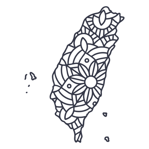
Taiwan map silhouette mandala stroke PNG Design
Choose a folder
All favorites
Create new
Save
Taiwan map silhouette mandala stroke PNG Design
Adventure map cartoon PNG Design
Choose a folder
All favorites
Create new
Save
Adventure map cartoon PNG Design
Premium
Mexico city state map PNG Design
Choose a folder
All favorites
Create new
Save
Mexico city state map PNG Design
Premium
Mizoram state map PNG Design
Choose a folder
All favorites
Create new
Save
Mizoram state map PNG Design
Premium
Nagaland state map PNG Design
Choose a folder
All favorites
Create new
Save
Nagaland state map PNG Design
Premium
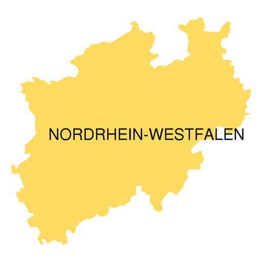
North rhine westfalia state map PNG Design
Choose a folder
All favorites
Create new
Save
North rhine westfalia state map PNG Design
A silhouette of the map of Brazil PNG Design
Choose a folder
All favorites
Create new
Save
A silhouette of the map of Brazil PNG Design
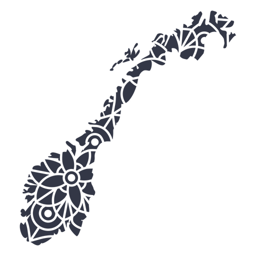
Mandala Norway Map PNG Design
Choose a folder
All favorites
Create new
Save
Mandala Norway Map PNG Design
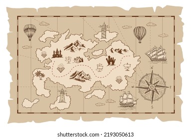
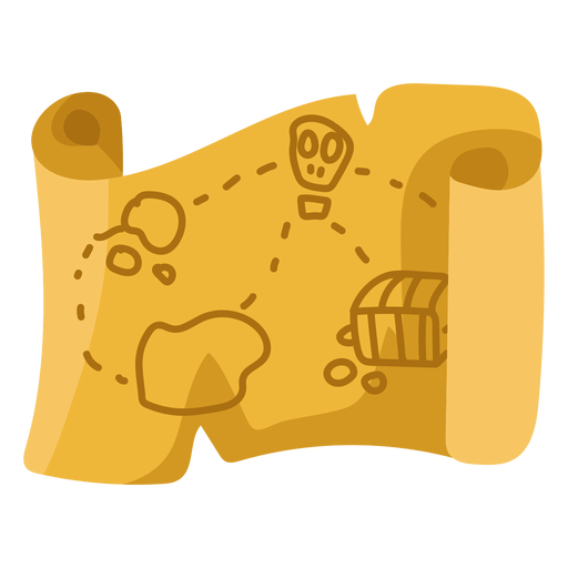
Treasure map beige flat illustration PNG Design
Choose a folder
All favorites
Create new
Save
Treasure map beige flat illustration PNG Design
A silhouette of the map of El Salvador PNG Design
Choose a folder
All favorites
Create new
Save
A silhouette of the map of El Salvador PNG Design
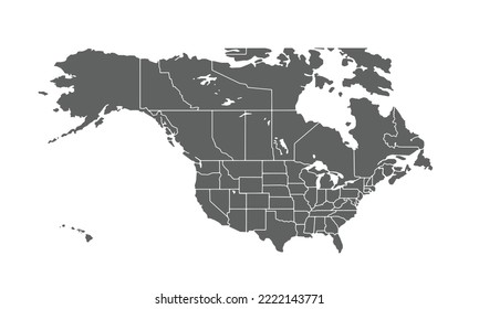
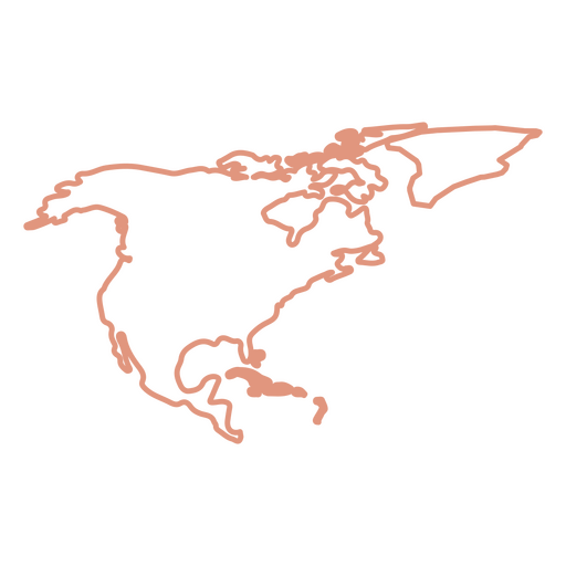
North America Stroke Map PNG Design
Choose a folder
All favorites
Create new
Save
North America Stroke Map PNG Design
Premium
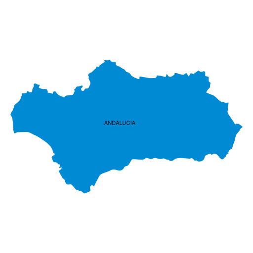
Andalusia autonomous community map PNG Design
Choose a folder
All favorites
Create new
Save
Andalusia autonomous community map PNG Design
Premium
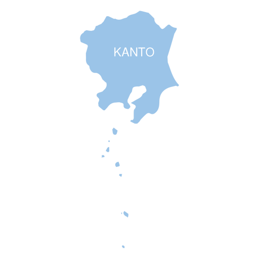
Kanto region map PNG Design
Choose a folder
All favorites
Create new
Save
Kanto region map PNG Design
Premium
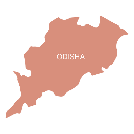
Odisha state map PNG Design
Choose a folder
All favorites
Create new
Save
Odisha state map PNG Design
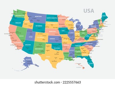
US map silhouette PNG Design
Choose a folder
All favorites
Create new
Save
US map silhouette PNG Design
China map silhouette mandala stroke PNG Design
Choose a folder
All favorites
Create new
Save
China map silhouette mandala stroke PNG Design
Premium
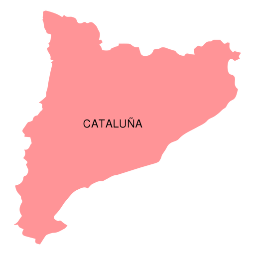
Catalonia autonomous community map PNG Design
Choose a folder
All favorites
Create new
Save
Catalonia autonomous community map PNG Design
Premium
Kyushu region map PNG Design
Choose a folder
All favorites
Create new
Save
Kyushu region map PNG Design
Premium
Map location colored stroke icon PNG Design
Choose a folder
All favorites
Create new
Save
Map location colored stroke icon PNG Design
Premium
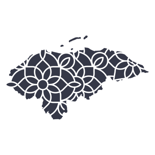
Honduras' mandala map PNG Design
Choose a folder
All favorites
Create new
Save
Honduras' mandala map PNG Design
A silhouette of the map of the Netherlands PNG Design
Choose a folder
All favorites
Create new
Save
A silhouette of the map of the Netherlands PNG Design
Premium
Canary islands autonomous community map PNG Design
Choose a folder
All favorites
Create new
Save
Canary islands autonomous community map PNG Design
Premium
Map sheet stroke PNG Design
Choose a folder
All favorites
Create new
Save
Map sheet stroke PNG Design
A silhouette of the map of Denmark PNG Design
Choose a folder
All favorites
Create new
Save
A silhouette of the map of Denmark PNG Design
Premium
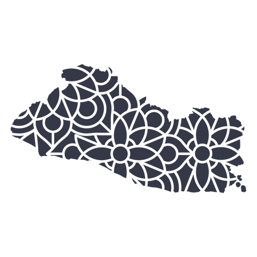
El Salvador's mandala map PNG Design
Choose a folder
All favorites
Create new
Save
El Salvador's mandala map PNG Design
Print ready
for Merch
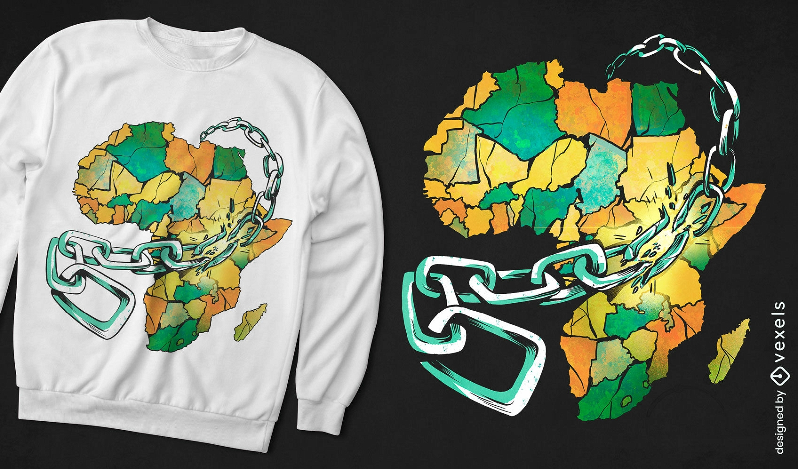
Africa map in chains t-shirt design
Choose a folder
All favorites
Create new
Save
Africa map in chains t-shirt design
North america stroke continents map PNG Design
Choose a folder
All favorites
Create new
Save
North america stroke continents map PNG Design
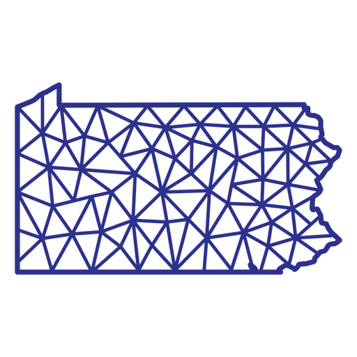
Pennsylvania map polygonal PNG Design
Choose a folder
All favorites
Create new
Save
Pennsylvania map polygonal PNG Design
Kindle Direct
Editable text
Premium
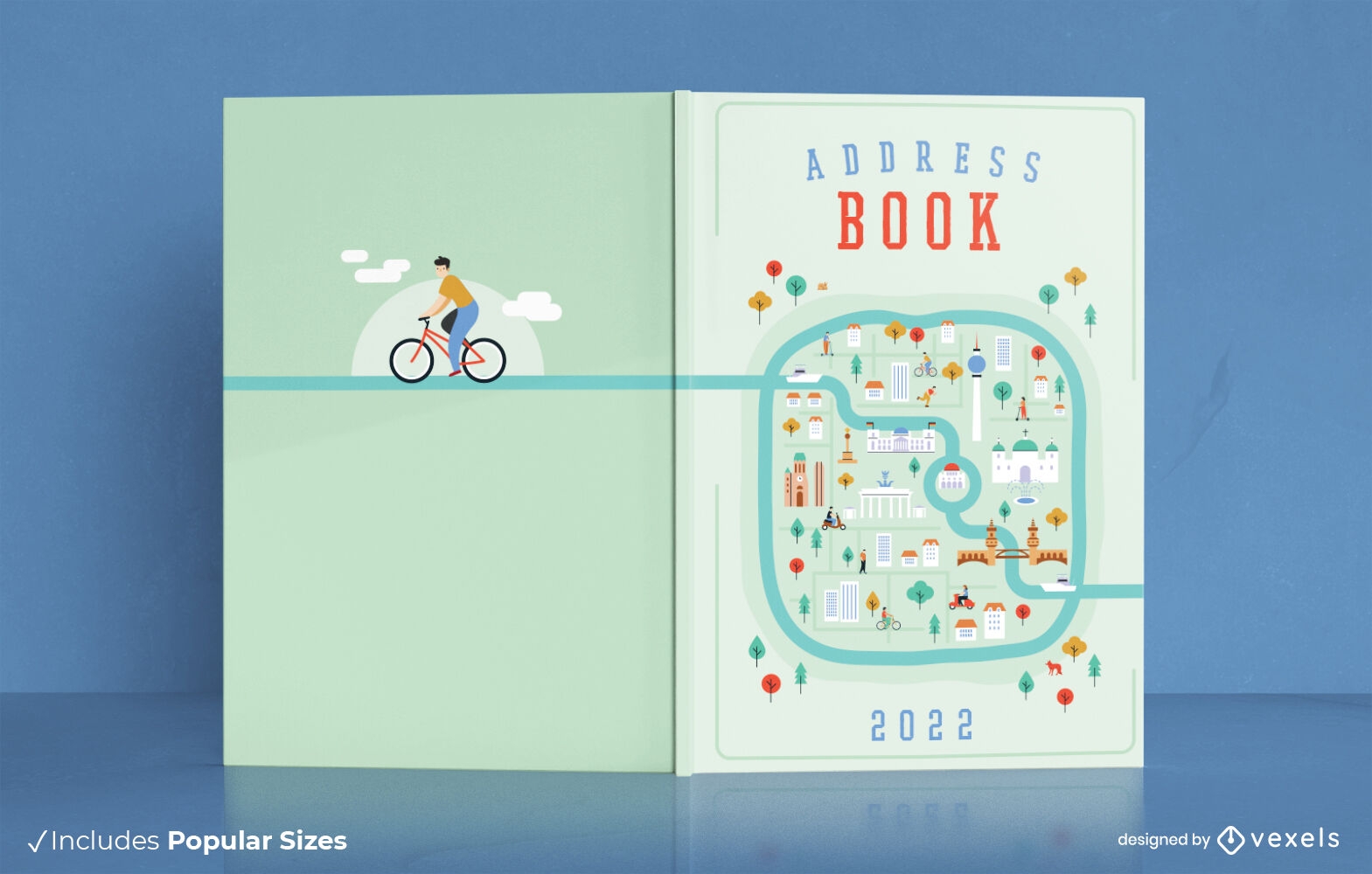
City map address book cover design
Choose a folder
All favorites
Create new
Save
City map address book cover design
Premium
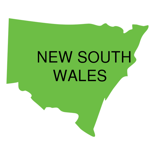
New south wales state map PNG Design
Choose a folder
All favorites
Create new
Save
New south wales state map PNG Design
A silhouette of the map of Costa Rica PNG Design
Choose a folder
All favorites
Create new
Save
A silhouette of the map of Costa Rica PNG Design
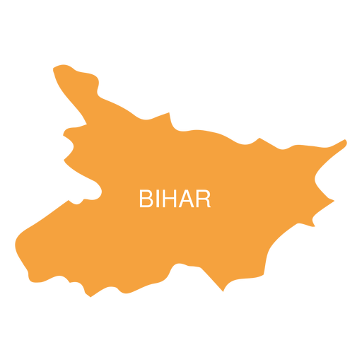
Premium
Bihar state map PNG Design
Choose a folder
All favorites
Create new
Save
Bihar state map PNG Design
Premium
Prince edward island province map PNG Design
Choose a folder
All favorites
Create new
Save
Prince edward island province map PNG Design
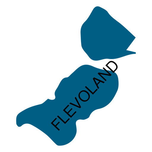
Premium
Flevoland province map PNG Design
Choose a folder
All favorites
Create new
Save
Flevoland province map PNG Design
Premium
Globe map badge PNG Design
Choose a folder
All favorites
Create new
Save
Globe map badge PNG Design
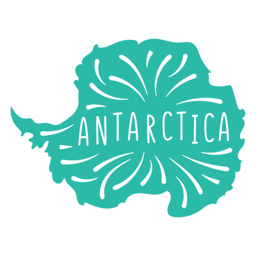
Antartica Continent Map PNG Design
Choose a folder
All favorites
Create new
Save
Antartica Continent Map PNG Design
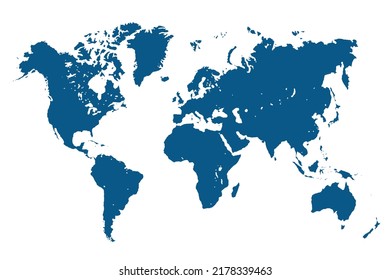
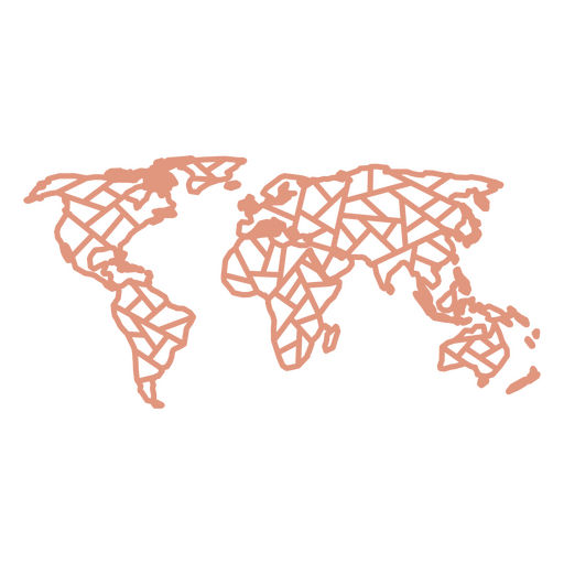
World map geometric continents PNG Design
Choose a folder
All favorites
Create new
Save
World map geometric continents PNG Design
America map cut out PNG Design
Choose a folder
All favorites
Create new
Save
America map cut out PNG Design
Premium
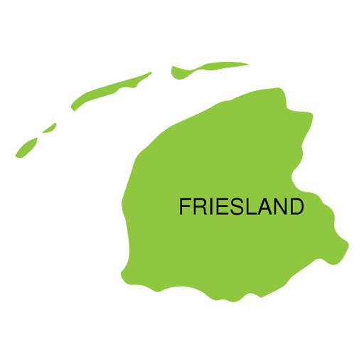
Friesland province map PNG Design
Choose a folder
All favorites
Create new
Save
Friesland province map PNG Design
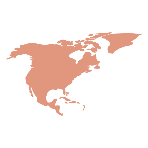
North America Map Silhouette PNG Design
Choose a folder
All favorites
Create new
Save
North America Map Silhouette PNG Design
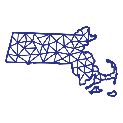
Massachusetts map polygonal PNG Design
Choose a folder
All favorites
Create new
Save
Massachusetts map polygonal PNG Design
Canada map silhouette mandala cut out PNG Design
Choose a folder
All favorites
Create new
Save
Canada map silhouette mandala cut out PNG Design
Premium
Federal district brasilia state map PNG Design
Choose a folder
All favorites
Create new
Save
Federal district brasilia state map PNG Design
Boost Your Business
With The Leading Graphic Platform For Merch.
SEE PLANS
Next
of 36
prev page
next page