Design Library
Explore Designs
New Merch Designs
Trending Merch Designs
Vectors
PNGs & SVGs
Mockups
T-Shirts
T-Shirt PSD Templates
KDP Designs
Phone Cases
Pillows
Tote Bags
Posters
Mugs
Design Tools
Designer
New!
T-shirt Maker
Mockup Generator
Quote Generator
Logo Maker
Resources
Merch Digest
Blog
Help Center
Creators Program
Learn About Merch
Changelog
Pricing
Loading...
Sign Up
Login
All
mapa
Design Library
Explore Designs
New Merch Designs
Trending Merch Designs
Vectors
PNGs & SVGs
Mockups
T-Shirts
T-Shirt PSD Templates
KDP Designs
Phone Cases
Pillows
Tote Bags
Posters
Mugs
Design Tools
Designer
New!
T-shirt Maker
Mockup Generator
Quote Generator
Logo Maker
Resources
Merch Digest
Blog
Help Center
Creators Program
Learn About Merch
Changelog
PLANS
All
mapa
1853 mapa designs graphics for t-shirt and print on demand merch
Download mapa t-shirt designs and other merch graphics like book covers, phone cases, tote bags and more.
Sort by
Most relevant
Sponsored results by
Get 15% off with code: VEXELS15
Show more
Editable text
Print ready
Premium
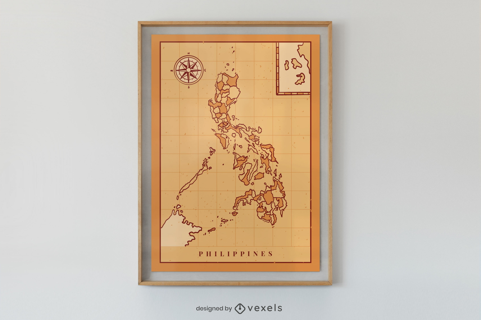
Philippines map poster design
Choose a folder
All favorites
Create new
Save
Philippines map poster design
Premium
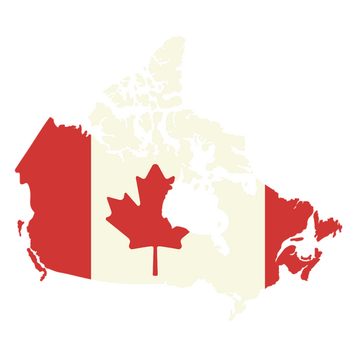
Map of canada with the canadian flag on it PNG Design
Choose a folder
All favorites
Create new
Save
Map of canada with the canadian flag on it PNG Design
Editable text
Print ready
for Merch
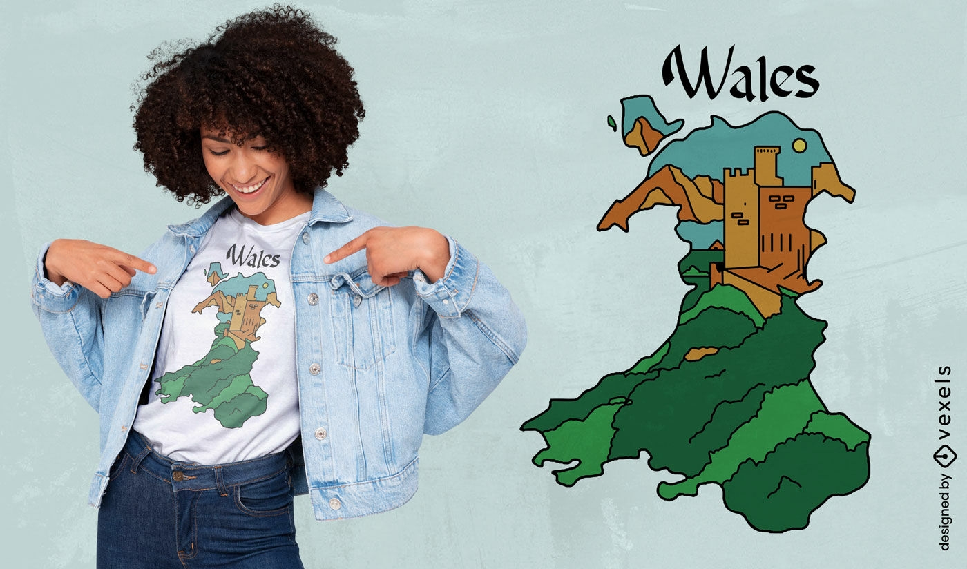
Welsh map and castle t-shirt design
Choose a folder
All favorites
Create new
Save
Welsh map and castle t-shirt design
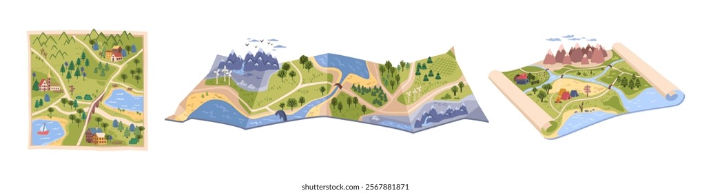
world map illustration design
Choose a folder
All favorites
Create new
Save
world map illustration design
Kindle Direct
Editable text
Premium
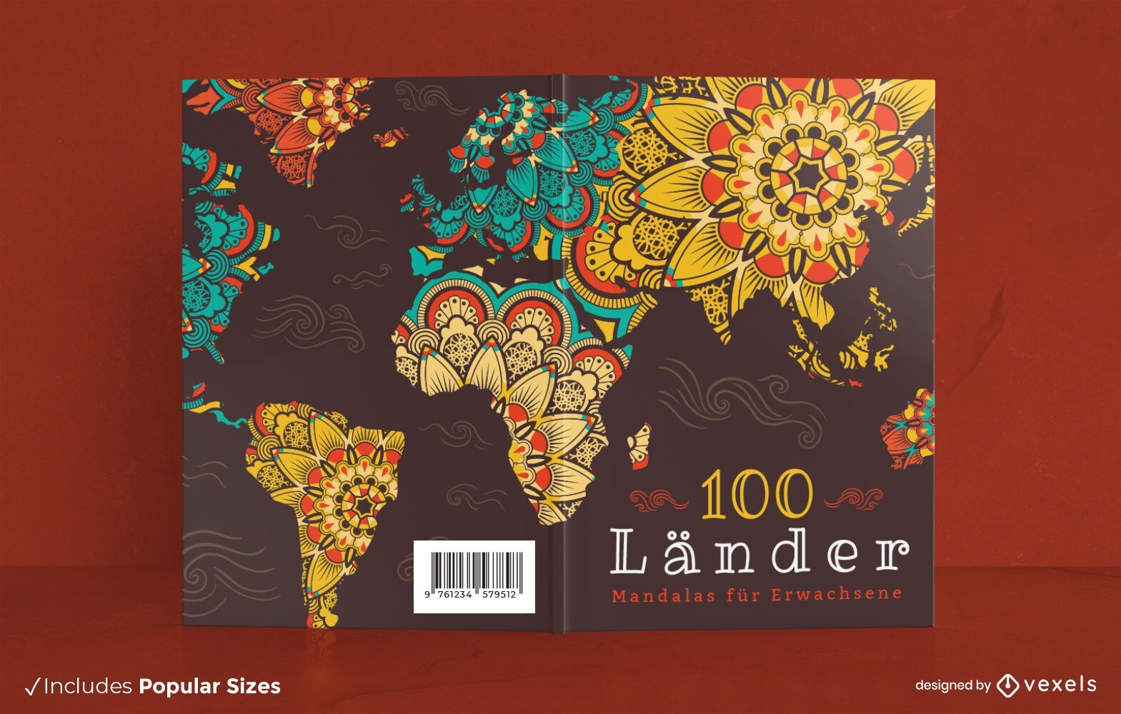
World map mandala floral book cover design
Choose a folder
All favorites
Create new
Save
World map mandala floral book cover design
Premium
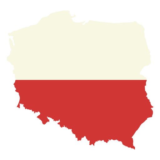
Map of poland with the flag of poland PNG Design
Choose a folder
All favorites
Create new
Save
Map of poland with the flag of poland PNG Design
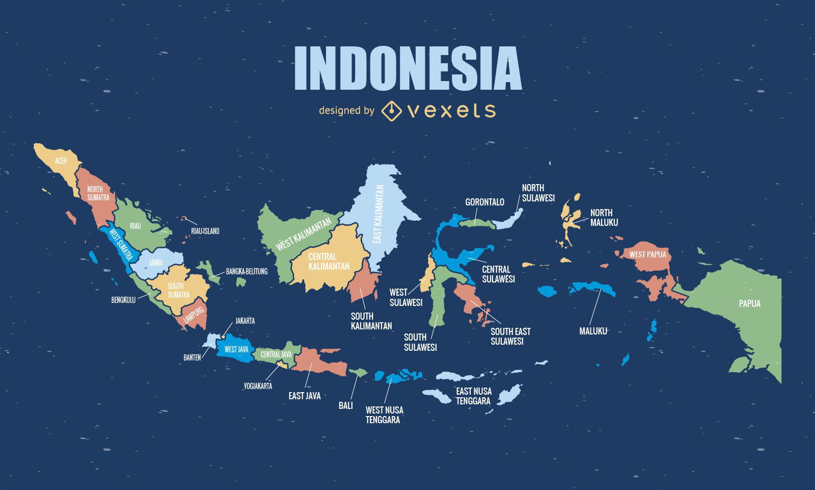
Complete Indonesia map
Choose a folder
All favorites
Create new
Save
Complete Indonesia map
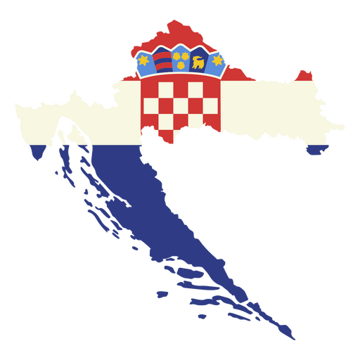
Premium
Map of croatia with the flag of croatia PNG Design
Choose a folder
All favorites
Create new
Save
Map of croatia with the flag of croatia PNG Design
Print ready
for Merch
Playful world map cat t-shirt design
Choose a folder
All favorites
Create new
Save
Playful world map cat t-shirt design
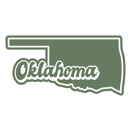
Premium
The state of oklahoma map in green PNG Design
Choose a folder
All favorites
Create new
Save
The state of oklahoma map in green PNG Design
Premium
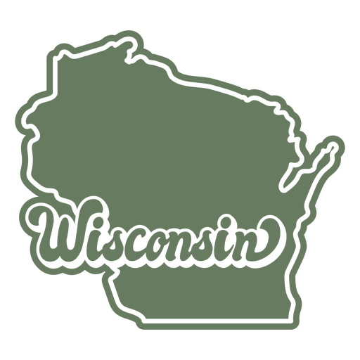
Wisconsin state map green sticker PNG Design
Choose a folder
All favorites
Create new
Save
Wisconsin state map green sticker PNG Design
Premium
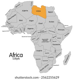
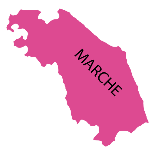
Marches region map PNG Design
Choose a folder
All favorites
Create new
Save
Marches region map PNG Design
Premium
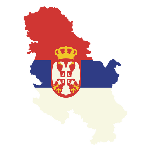
Map with the flag of serbia PNG Design
Choose a folder
All favorites
Create new
Save
Map with the flag of serbia PNG Design
Premium
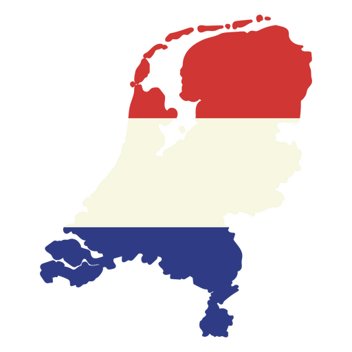
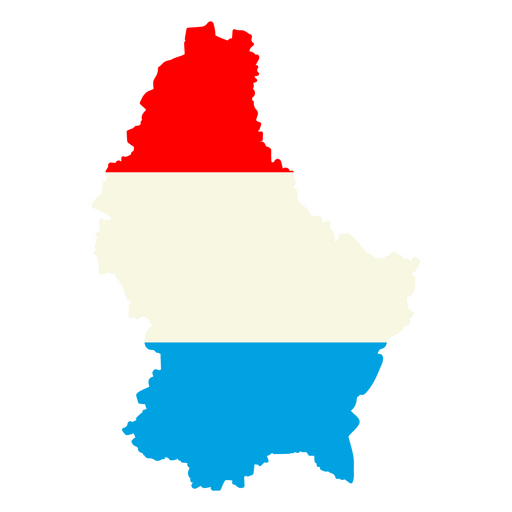
Map of the netherlands with the flag of the netherlands PNG Design
Choose a folder
All favorites
Create new
Save
Map of the netherlands with the flag of the netherlands PNG Design
Premium
The wisconsin state map in brown with the word wisconsin PNG Design
Choose a folder
All favorites
Create new
Save
The wisconsin state map in brown with the word wisconsin PNG Design
German Content
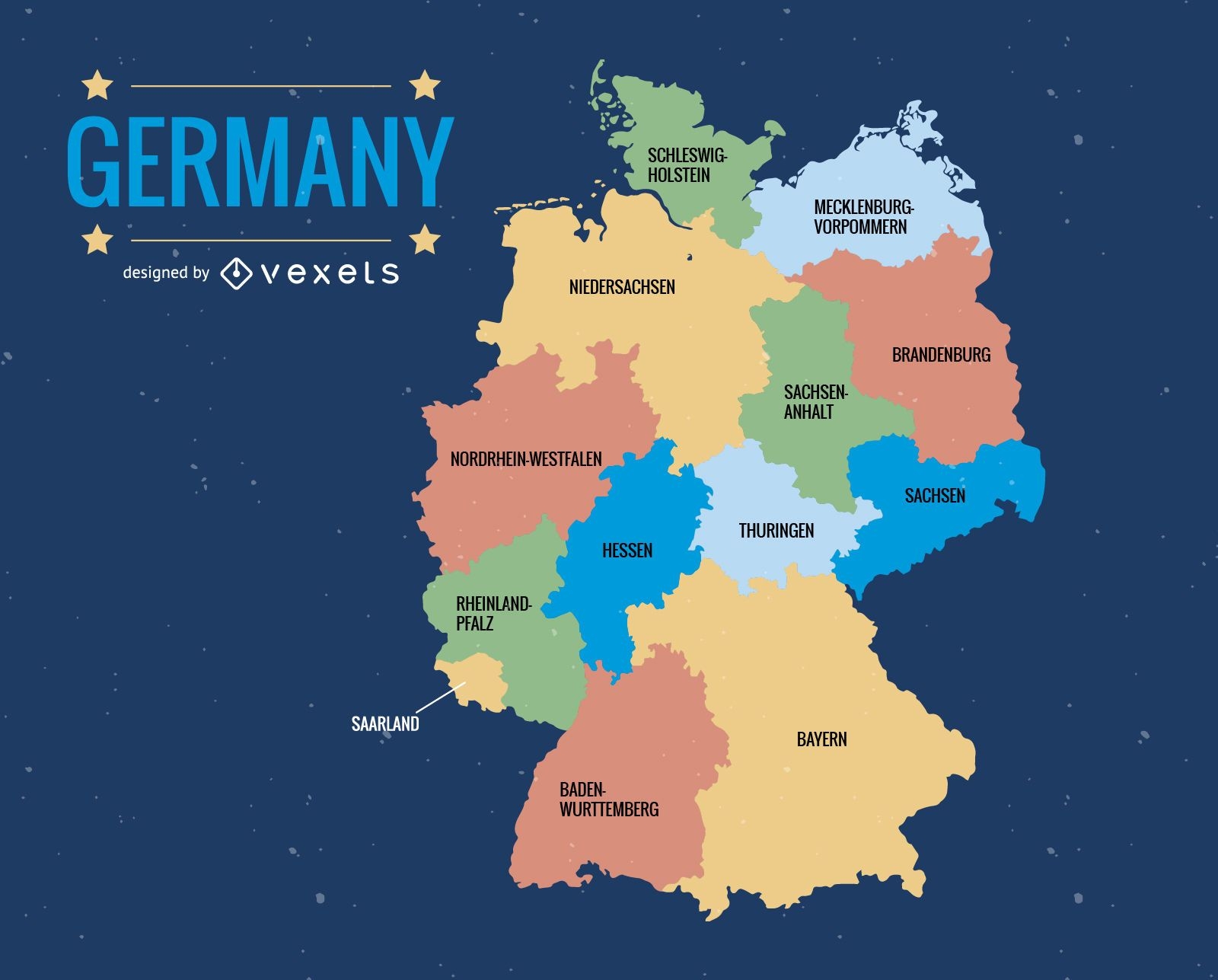
Germany administrative division map
Choose a folder
All favorites
Create new
Save
Germany administrative division map
Print ready
for Merch
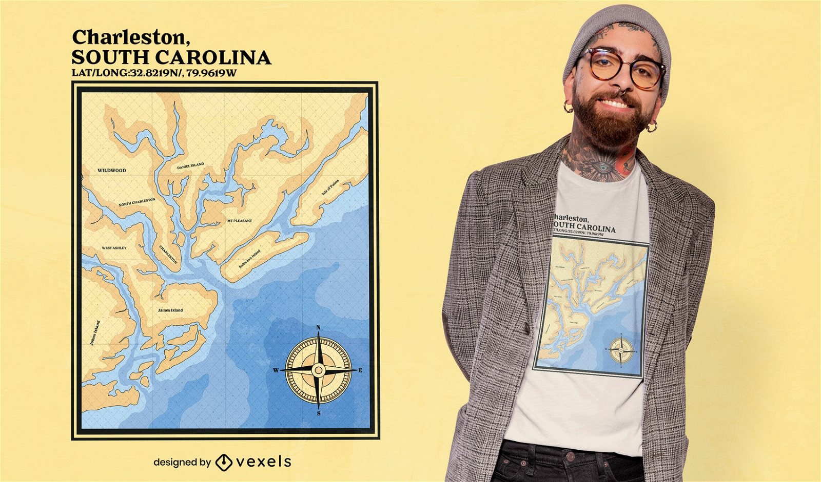
Charleston South Carolina nautic map t-shirt design
Choose a folder
All favorites
Create new
Save
Charleston South Carolina nautic map t-shirt design
Premium
Map of New Zealand with the british flag PNG Design
Choose a folder
All favorites
Create new
Save
Map of New Zealand with the british flag PNG Design
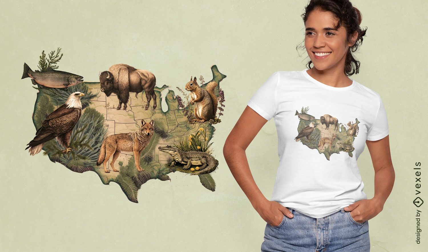
Print ready
for Merch
American wildlife map t-shirt design
Choose a folder
All favorites
Create new
Save
American wildlife map t-shirt design
Premium
Map of japan with a red flag PNG Design
Choose a folder
All favorites
Create new
Save
Map of japan with a red flag PNG Design
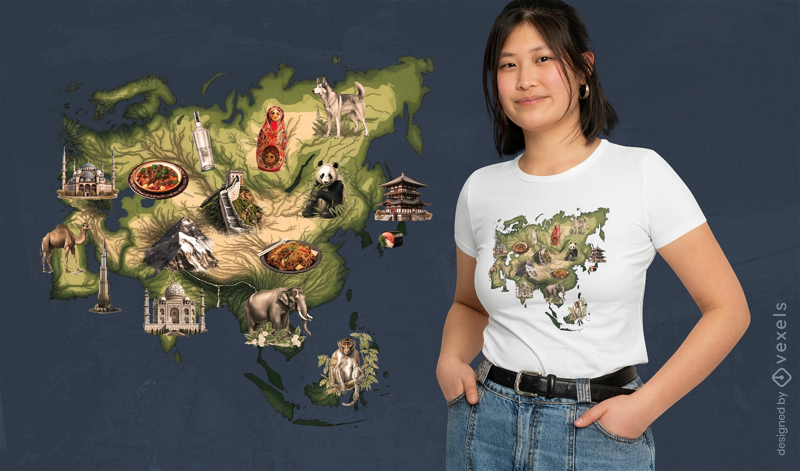
Print ready
for Merch
Asian landmarks map t-shirt design
Choose a folder
All favorites
Create new
Save
Asian landmarks map t-shirt design
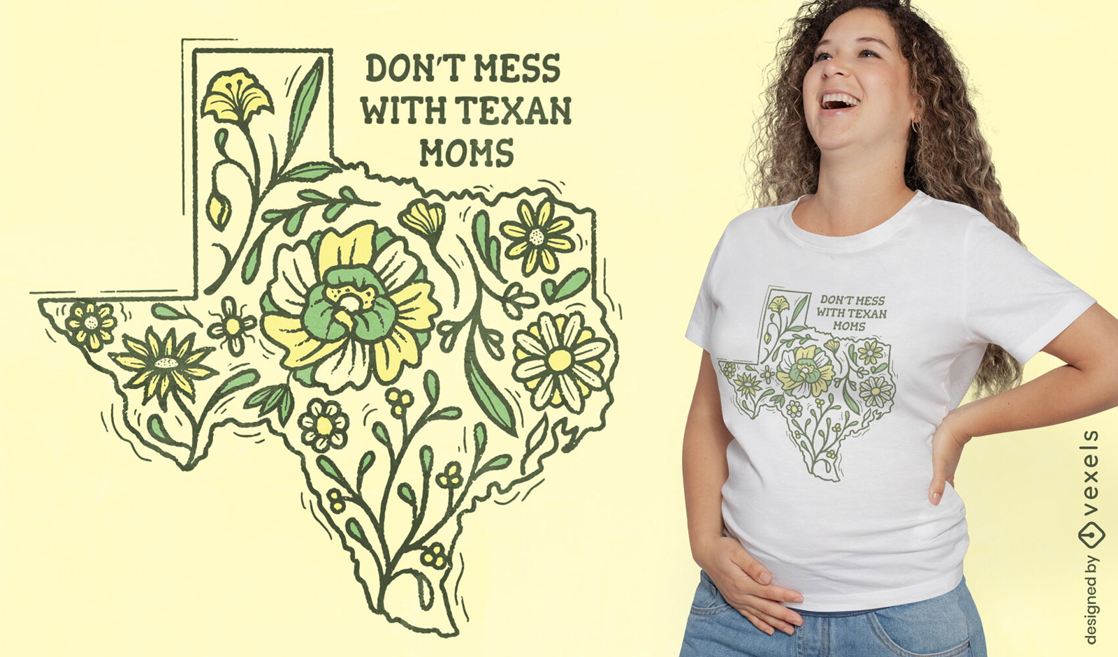
Editable text
Print ready
for Merch
Texas map with flowers t-shirt design
Choose a folder
All favorites
Create new
Save
Texas map with flowers t-shirt design
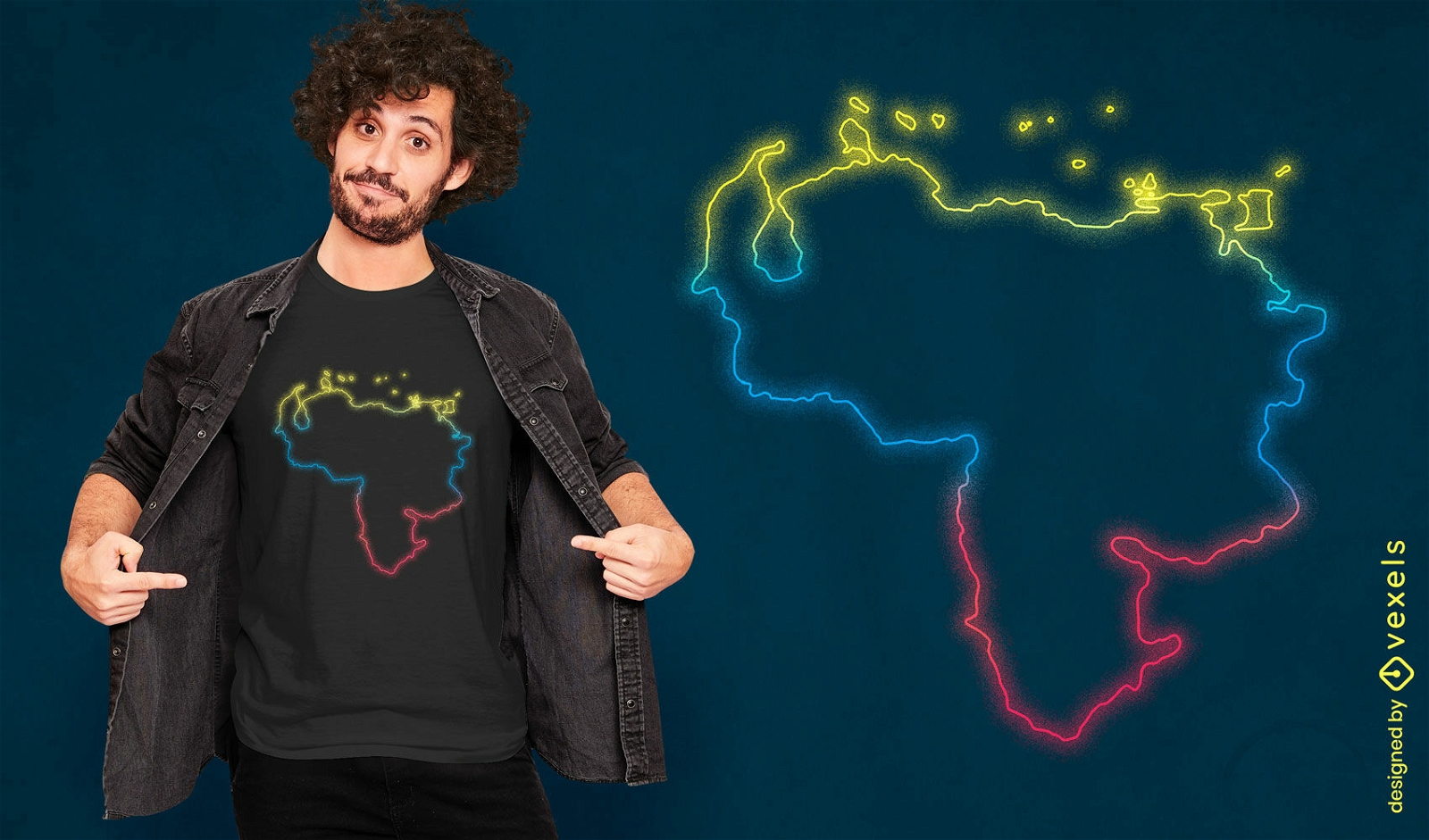
Print ready
for Merch
Venezuelan neon map t-shirt design
Choose a folder
All favorites
Create new
Save
Venezuelan neon map t-shirt design
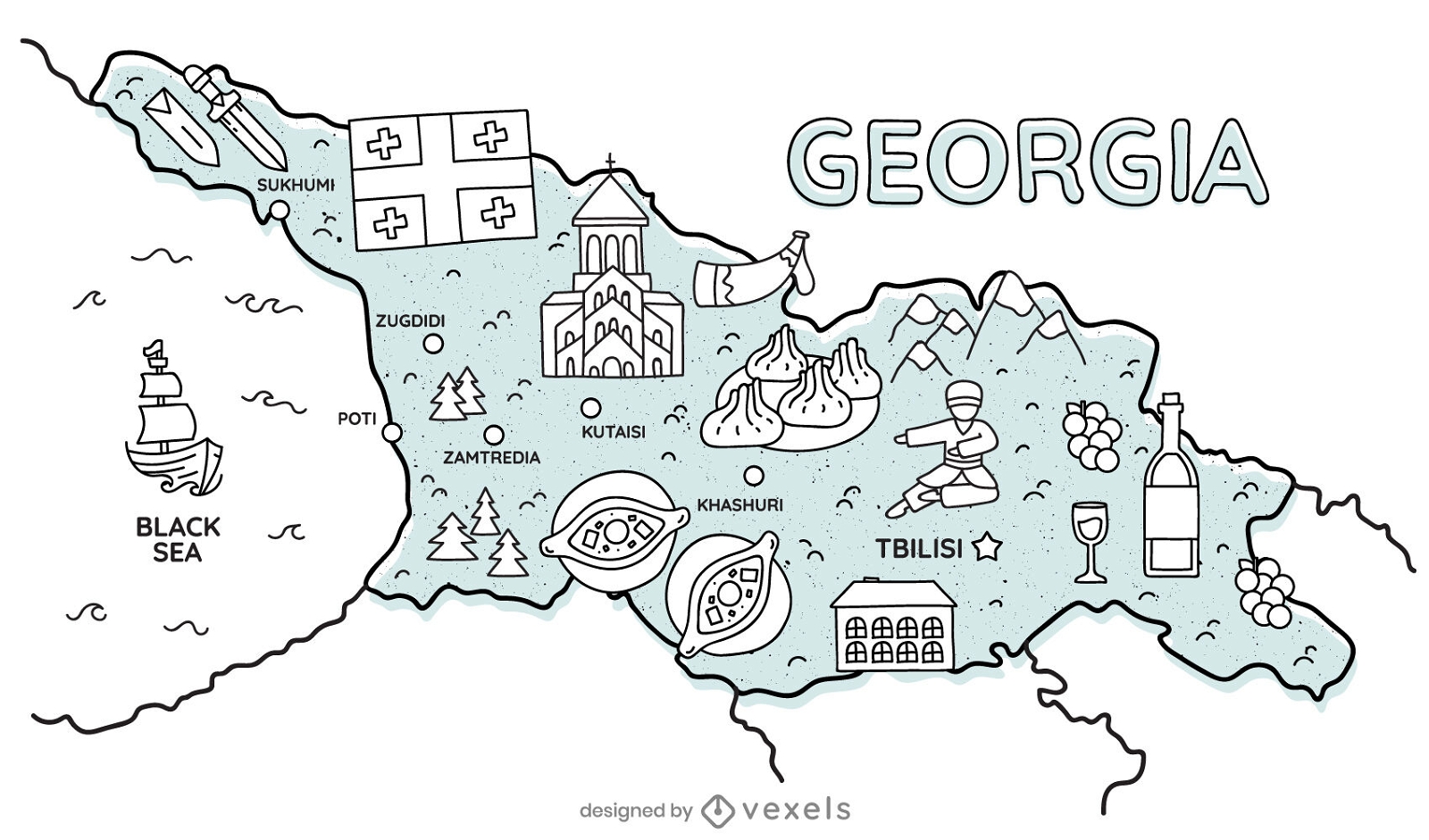
Premium
Georgia cultural map
Choose a folder
All favorites
Create new
Save
Georgia cultural map
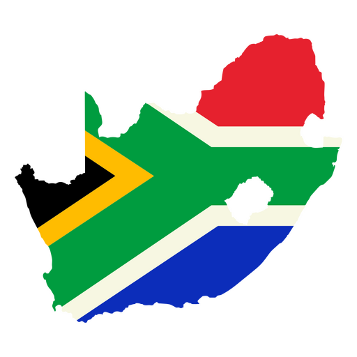
Premium
The map of South Africa with the flag PNG Design
Choose a folder
All favorites
Create new
Save
The map of South Africa with the flag PNG Design
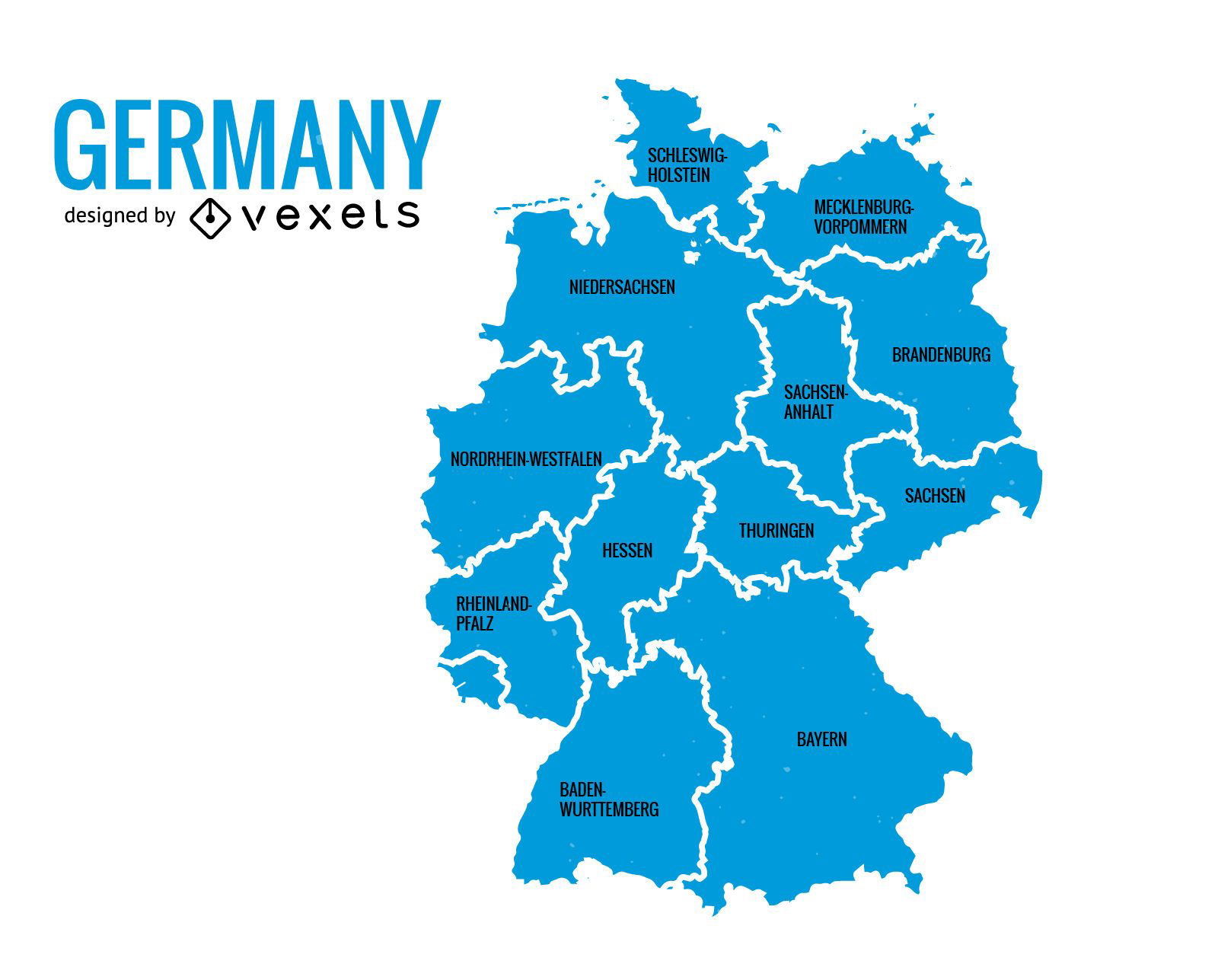
German Content
Germany states map
Choose a folder
All favorites
Create new
Save
Germany states map
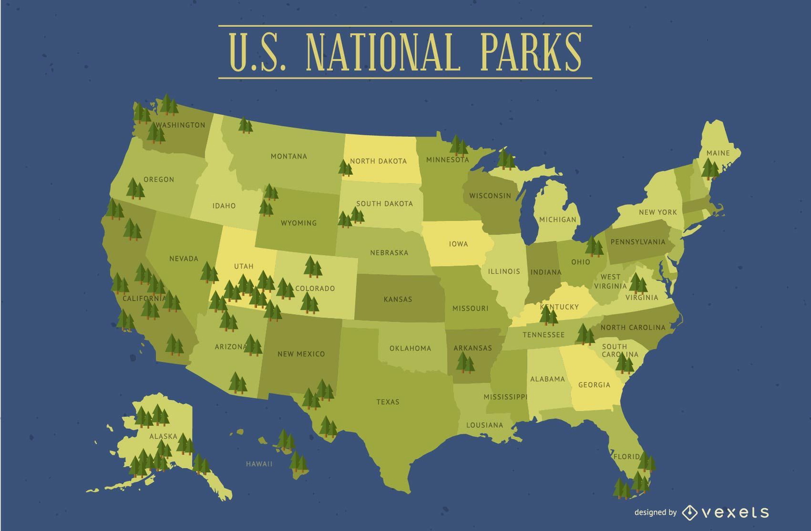
United States National Parks Map
Choose a folder
All favorites
Create new
Save
United States National Parks Map
Premium
Map with the flag of belgium PNG Design
Choose a folder
All favorites
Create new
Save
Map with the flag of belgium PNG Design
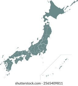
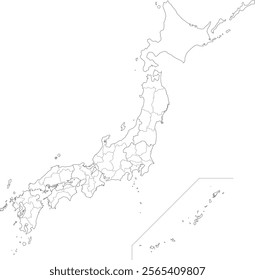
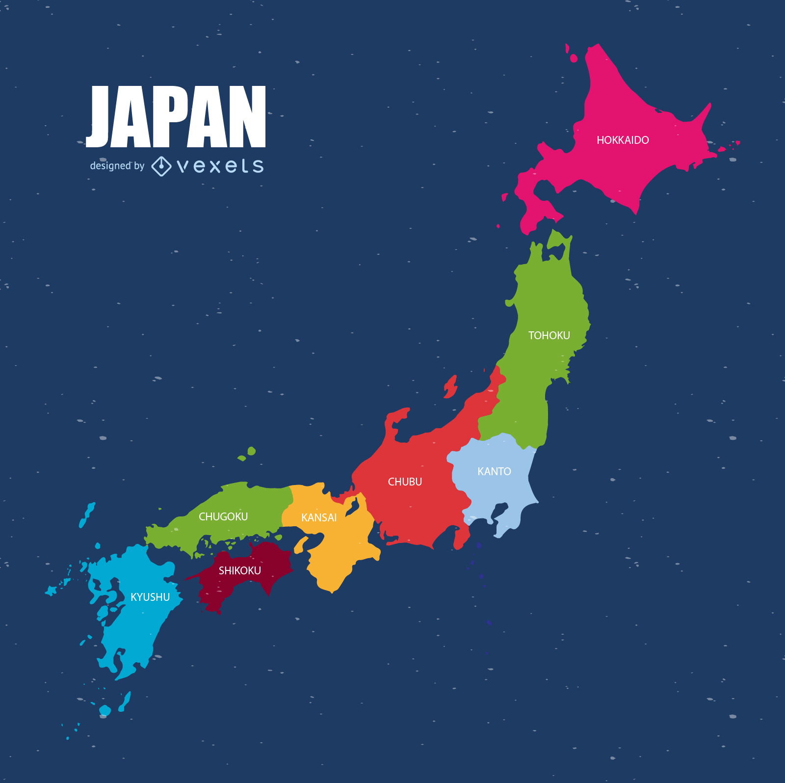
Japan Map Vector
Choose a folder
All favorites
Create new
Save
Japan Map Vector
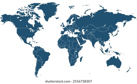
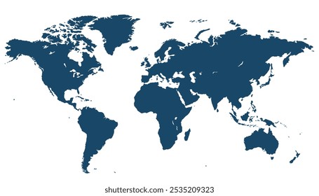
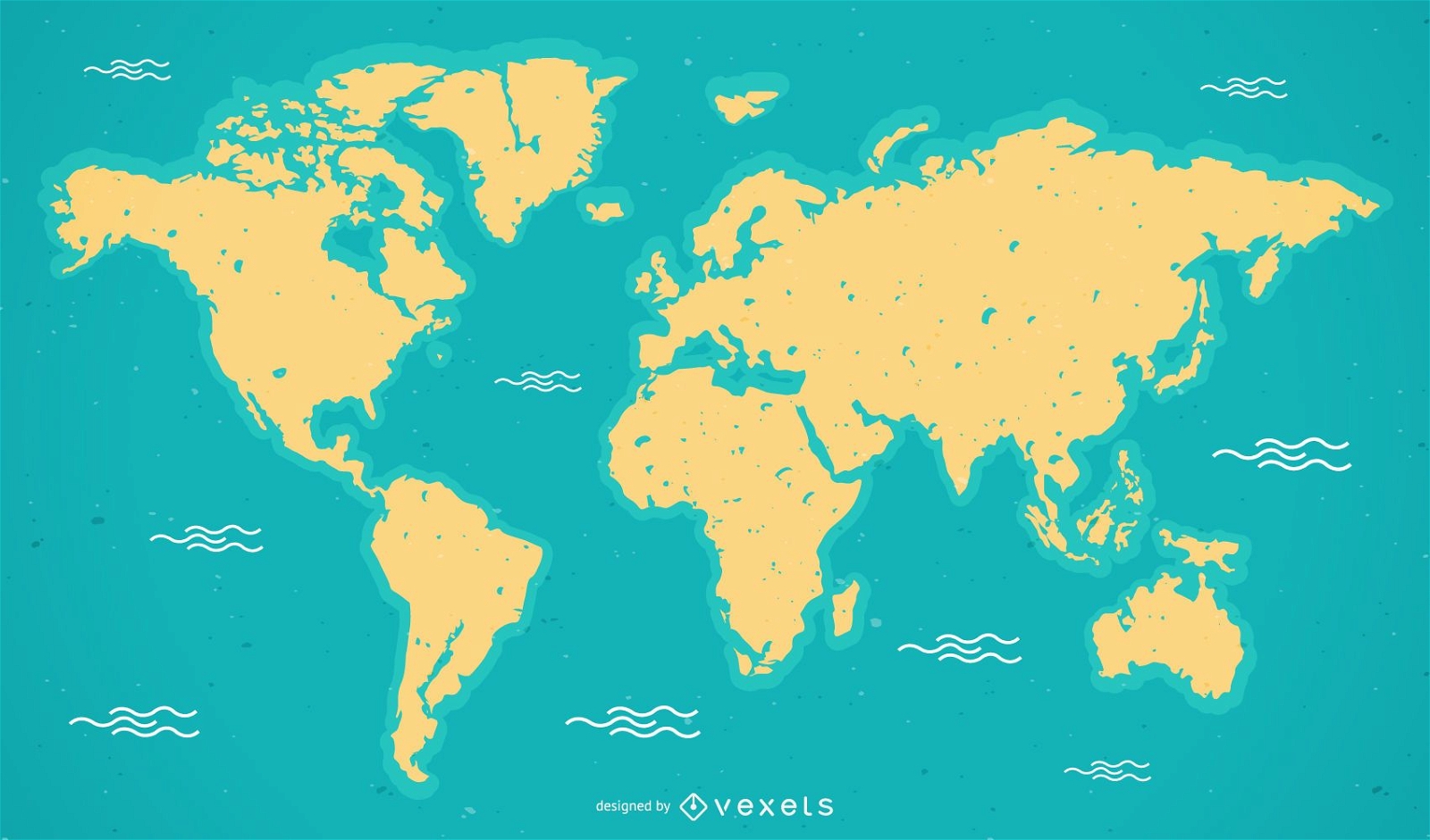
World Map Vector
Choose a folder
All favorites
Create new
Save
World Map Vector
Print ready
for Merch
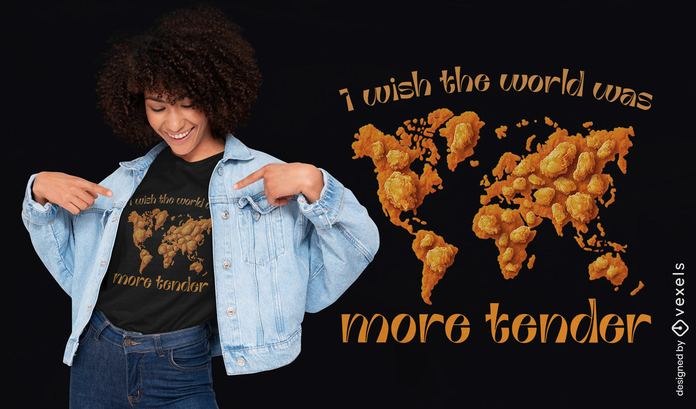
Chicken nugget world map t-shirt design
Choose a folder
All favorites
Create new
Save
Chicken nugget world map t-shirt design
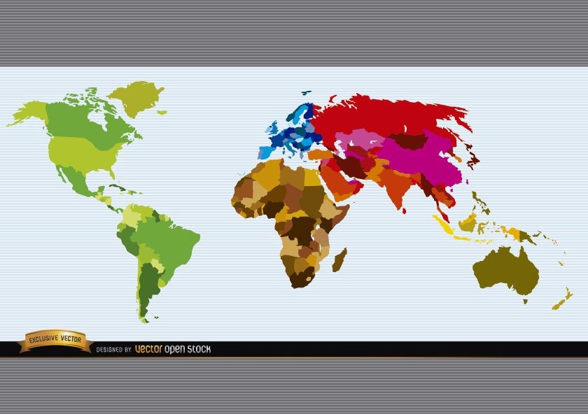
Political world map colored
Choose a folder
All favorites
Create new
Save
Political world map colored
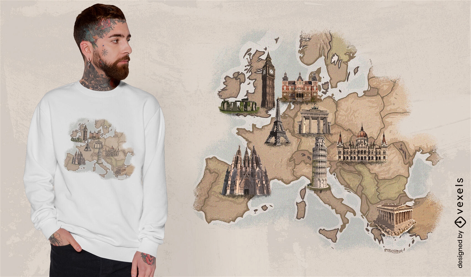
Print ready
for Merch
European landmarks map t-shirt design
Choose a folder
All favorites
Create new
Save
European landmarks map t-shirt design
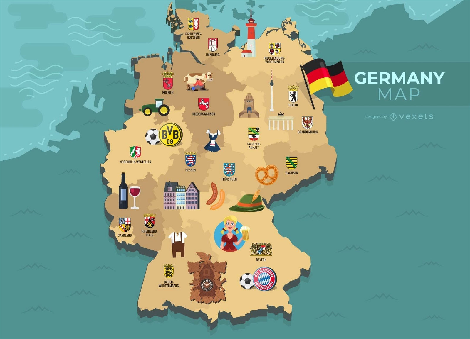
German Content
Germany Map Illustration
Choose a folder
All favorites
Create new
Save
Germany Map Illustration
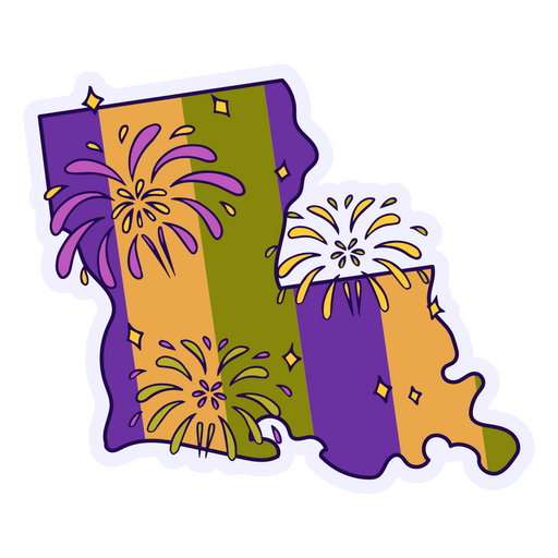
Premium
Sticker with a map of louisiana with fireworks on it PNG Design
Choose a folder
All favorites
Create new
Save
Sticker with a map of louisiana with fireworks on it PNG Design
Premium
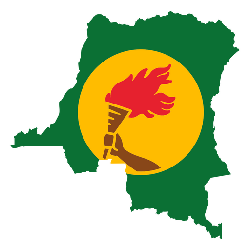
Map of Guinea featuring a flaming torch PNG Design
Choose a folder
All favorites
Create new
Save
Map of Guinea featuring a flaming torch PNG Design
Premium
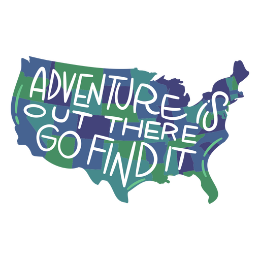
Adventure is out there go find it USA map PNG Design
Choose a folder
All favorites
Create new
Save
Adventure is out there go find it USA map PNG Design
Premium
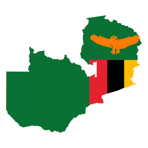
Map of zimbabwe with an eagle and flag PNG Design
Choose a folder
All favorites
Create new
Save
Map of zimbabwe with an eagle and flag PNG Design
Premium
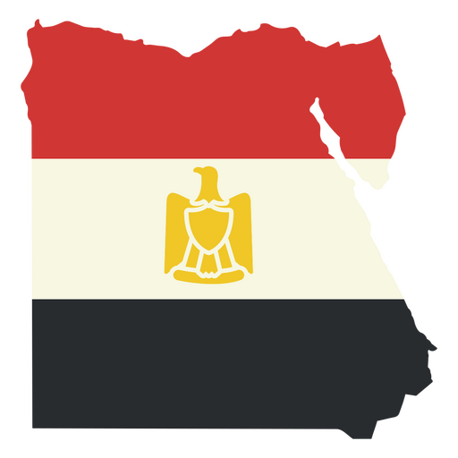
Map of egypt with the egyptian flag PNG Design
Choose a folder
All favorites
Create new
Save
Map of egypt with the egyptian flag PNG Design
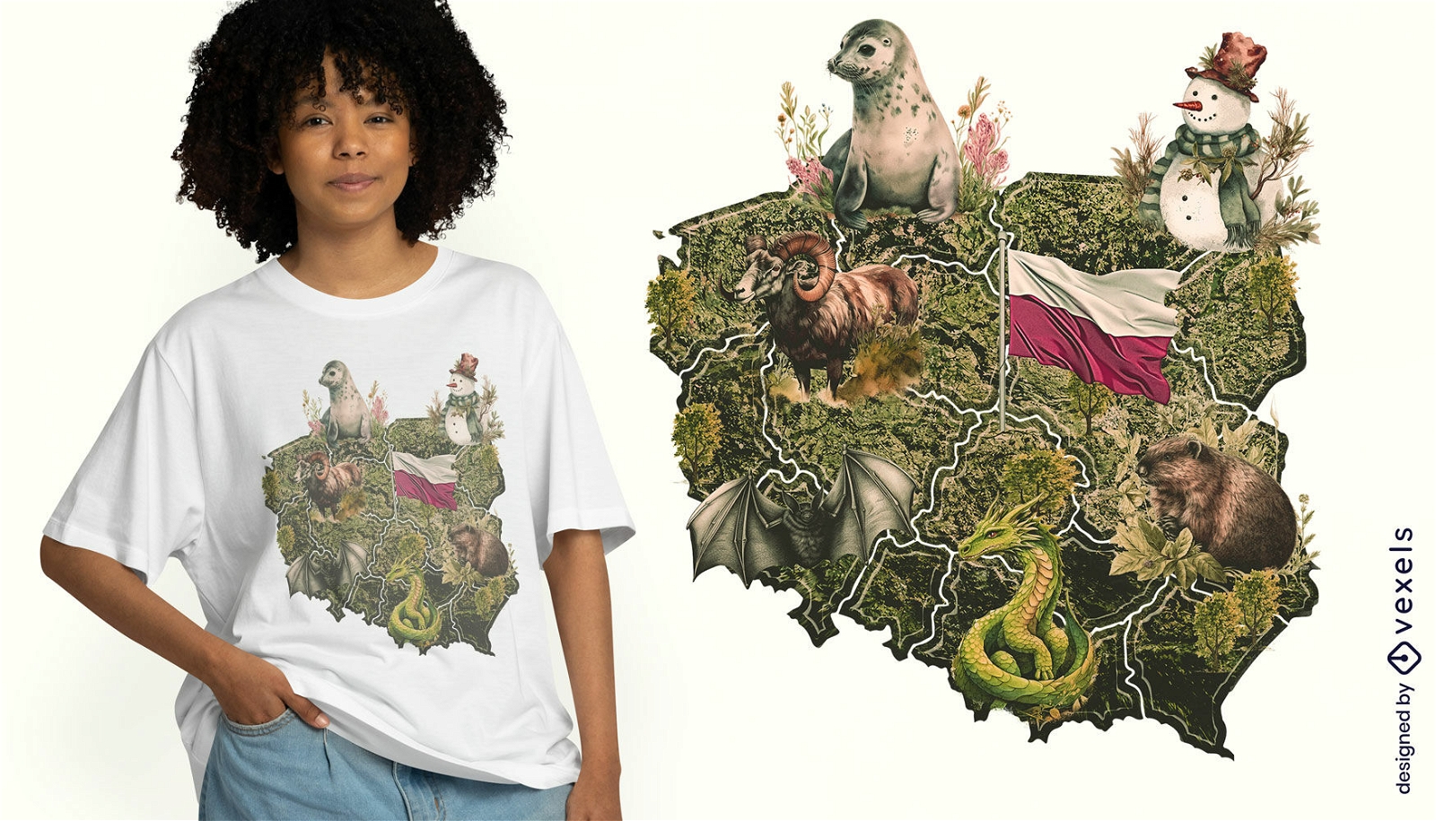
Print ready
for Merch
Polish map t-shirt design
Choose a folder
All favorites
Create new
Save
Polish map t-shirt design
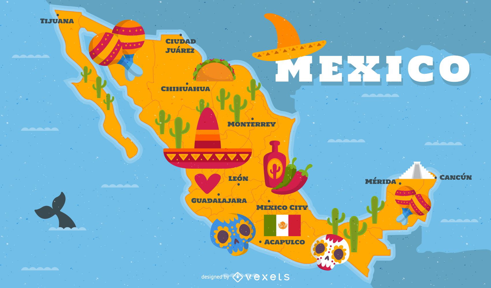
Illustrated Mexico map with traditional elements
Choose a folder
All favorites
Create new
Save
Illustrated Mexico map with traditional elements
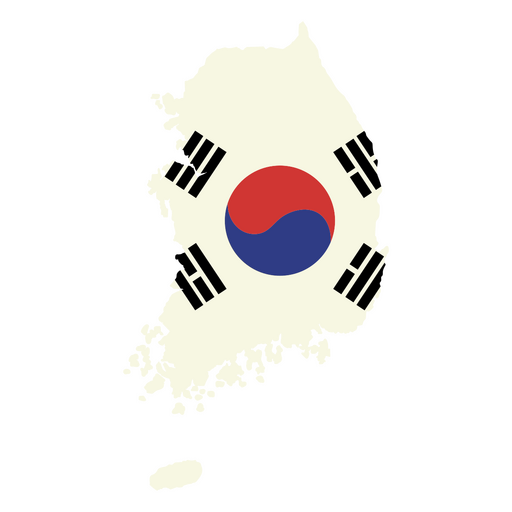
Premium
Map of South Korea with the flag PNG Design
Choose a folder
All favorites
Create new
Save
Map of South Korea with the flag PNG Design
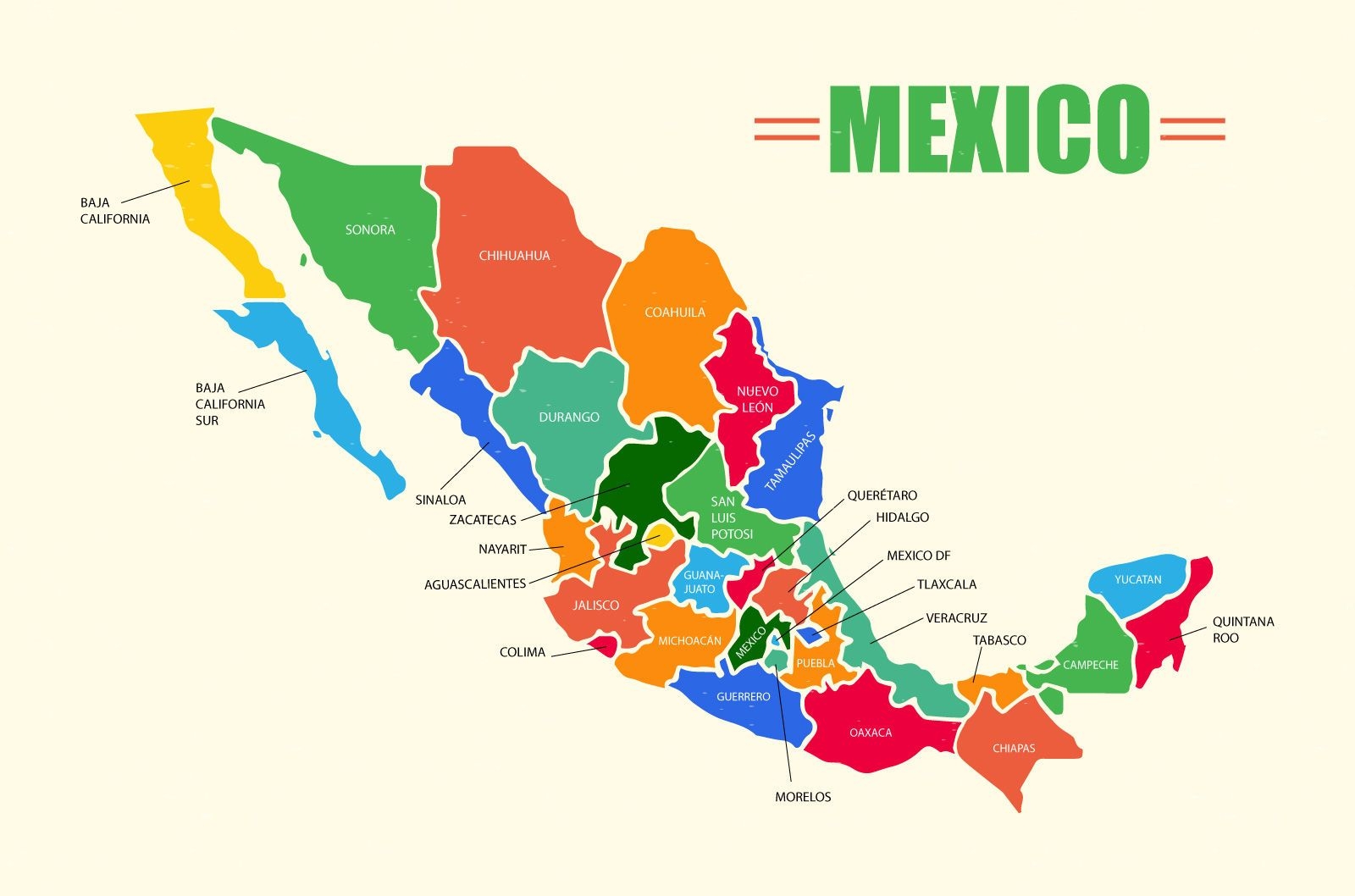
Mexico Map Vector Design
Choose a folder
All favorites
Create new
Save
Mexico Map Vector Design
Premium
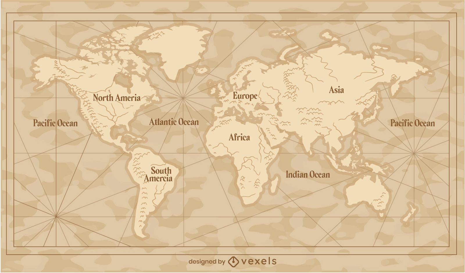
Vintage world map traditional illustration
Choose a folder
All favorites
Create new
Save
Vintage world map traditional illustration
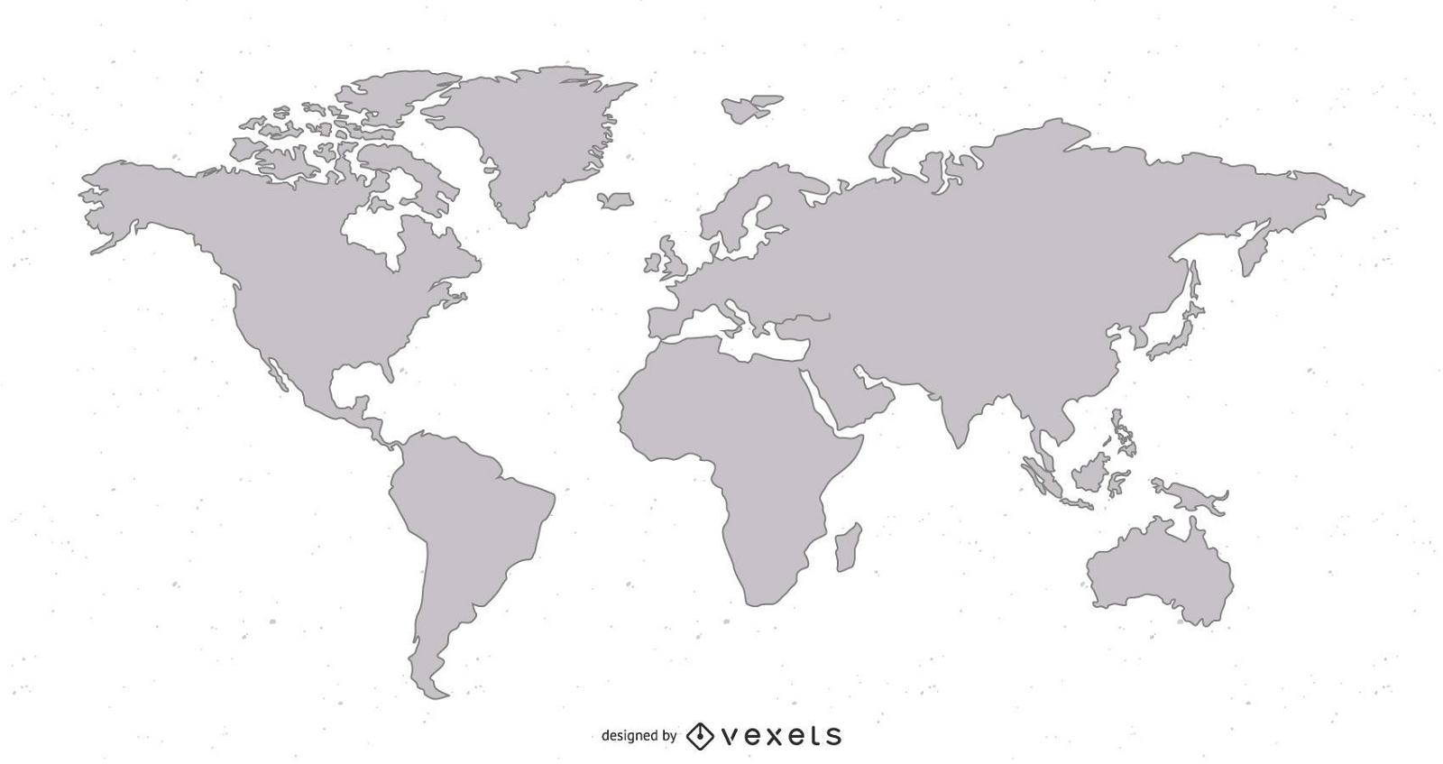
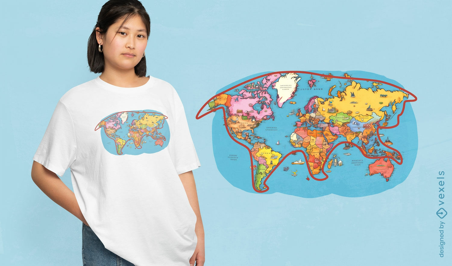
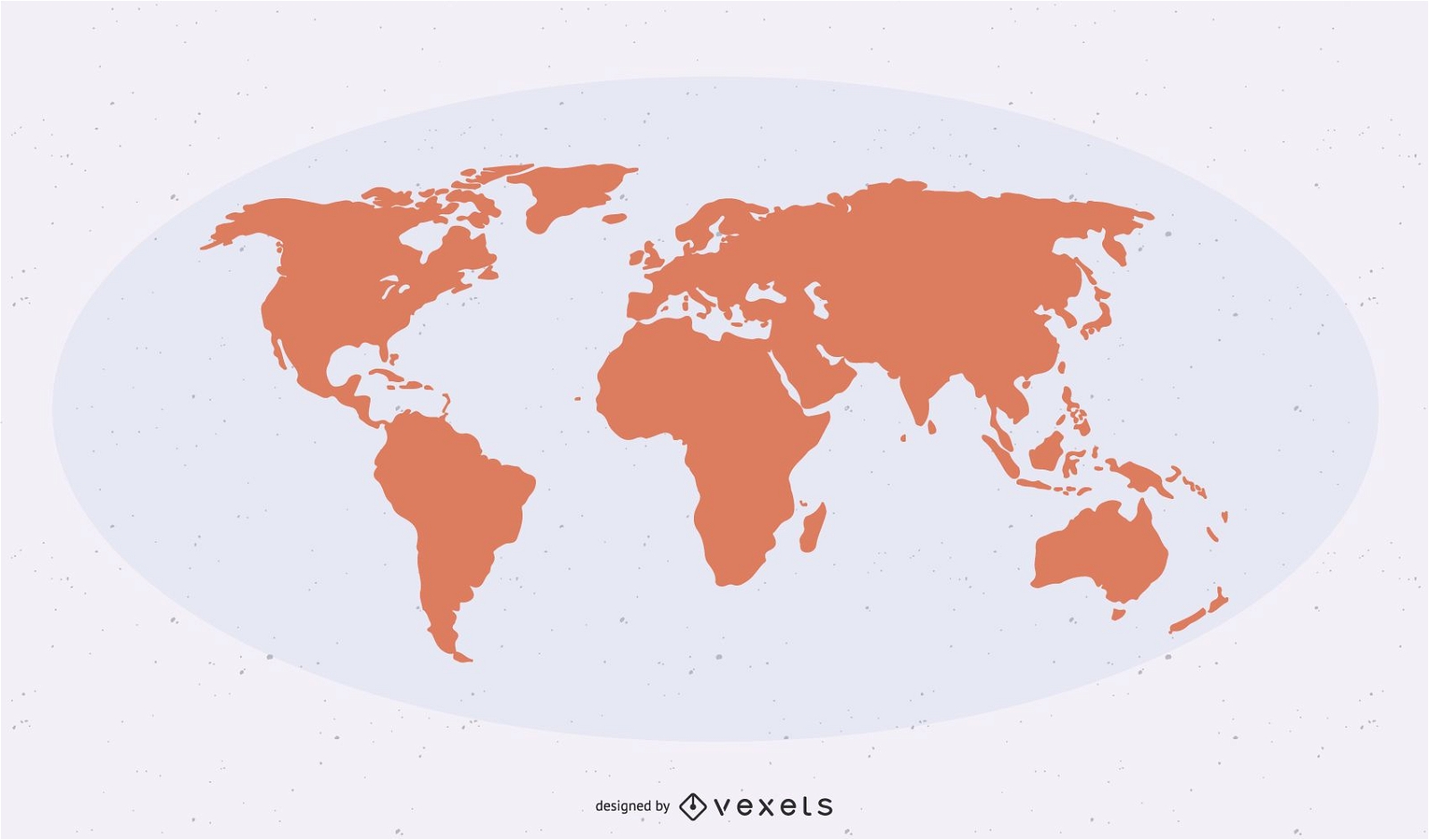
Flat Detailed Shape World Map
Choose a folder
All favorites
Create new
Save
Flat Detailed Shape World Map
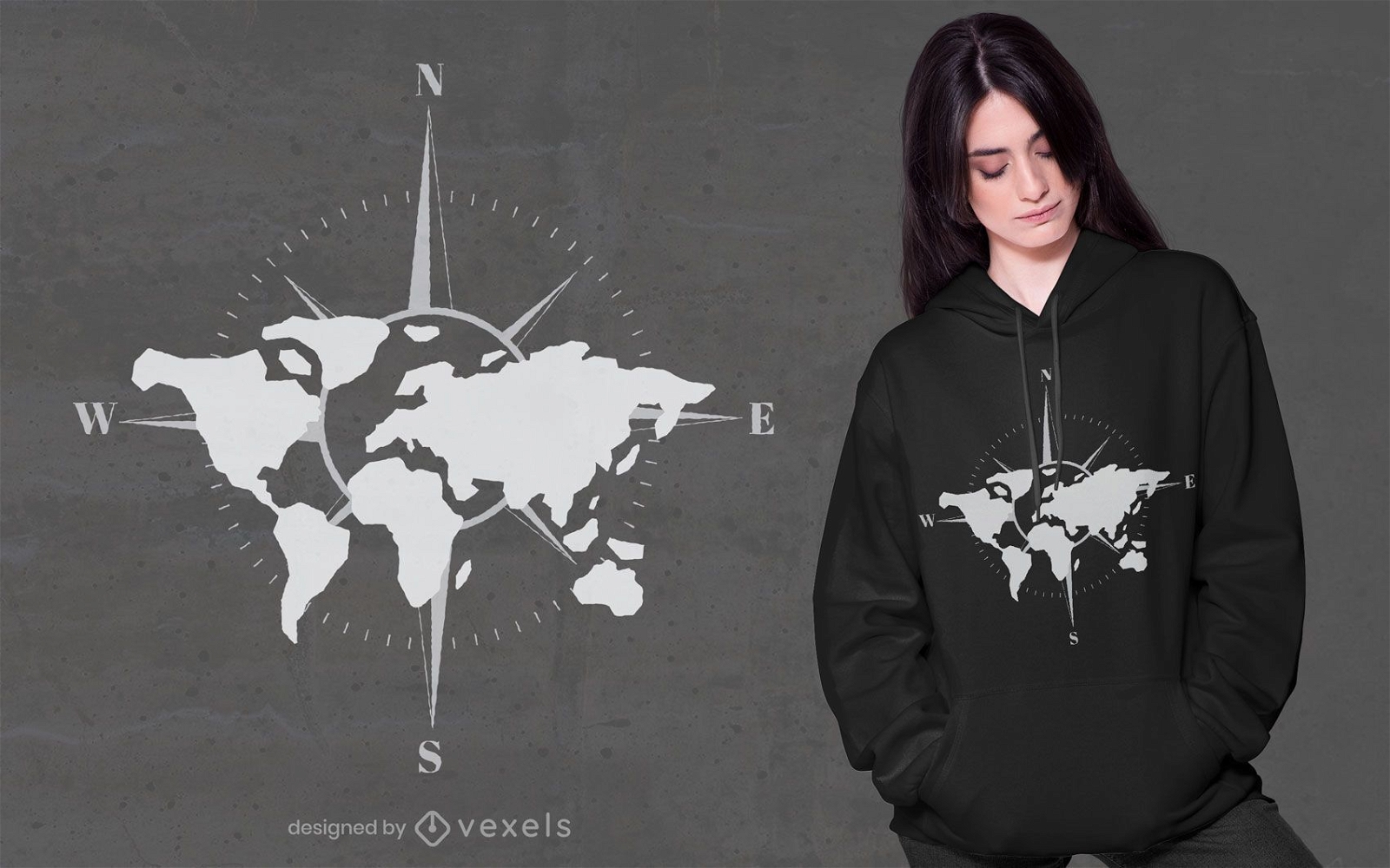
Print ready
for Merch
World map compass t-shirt design
Choose a folder
All favorites
Create new
Save
World map compass t-shirt design
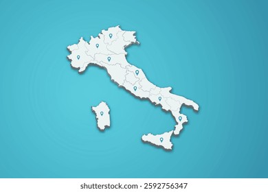
Italy Map
Choose a folder
All favorites
Create new
Save
Italy Map
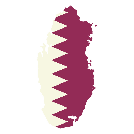
Premium
Map of qatar with the flag of qatar PNG Design
Choose a folder
All favorites
Create new
Save
Map of qatar with the flag of qatar PNG Design
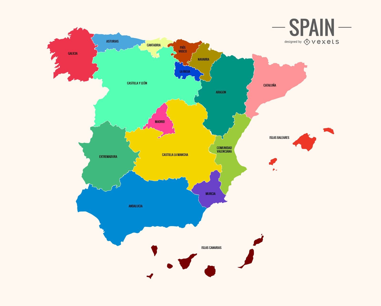
Colorful Spain map
Choose a folder
All favorites
Create new
Save
Colorful Spain map
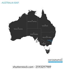
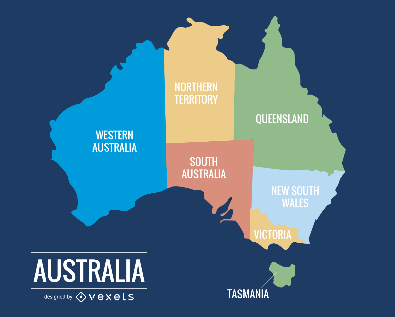
015 Australia Map
Choose a folder
All favorites
Create new
Save
015 Australia Map
Boost Your Business
With The Leading Graphic Platform For Merch.
SEE PLANS
Next
of 38
prev page
next page