Design Library
Explore Designs
New Merch Designs
Trending Merch Designs
Vectors
PNGs & SVGs
Mockups
T-Shirts
T-Shirt PSD Templates
KDP Designs
Phone Cases
Pillows
Tote Bags
Posters
Mugs
Design Tools
Designer
New!
T-shirt Maker
Mockup Generator
Quote Generator
Logo Maker
Resources
Merch Digest
Blog
Help Center
Creators Program
Learn About Merch
Changelog
Pricing
Loading...
Sign Up
Login
All
mapa
Design Library
Explore Designs
New Merch Designs
Trending Merch Designs
Vectors
PNGs & SVGs
Mockups
T-Shirts
T-Shirt PSD Templates
KDP Designs
Phone Cases
Pillows
Tote Bags
Posters
Mugs
Design Tools
Designer
New!
T-shirt Maker
Mockup Generator
Quote Generator
Logo Maker
Resources
Merch Digest
Blog
Help Center
Creators Program
Learn About Merch
Changelog
PLANS
All
mapa
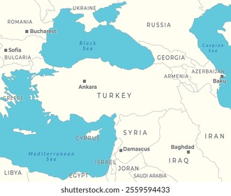
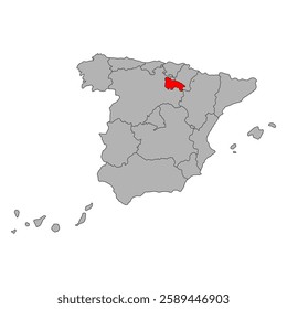
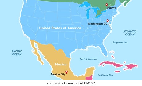
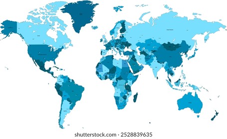
1853 mapa designs graphics for t-shirt and print on demand merch
Download mapa t-shirt designs and other merch graphics like book covers, phone cases, tote bags and more.
Sort by
Most relevant
Sponsored results by
Get 15% off with code: VEXELS15
Show more
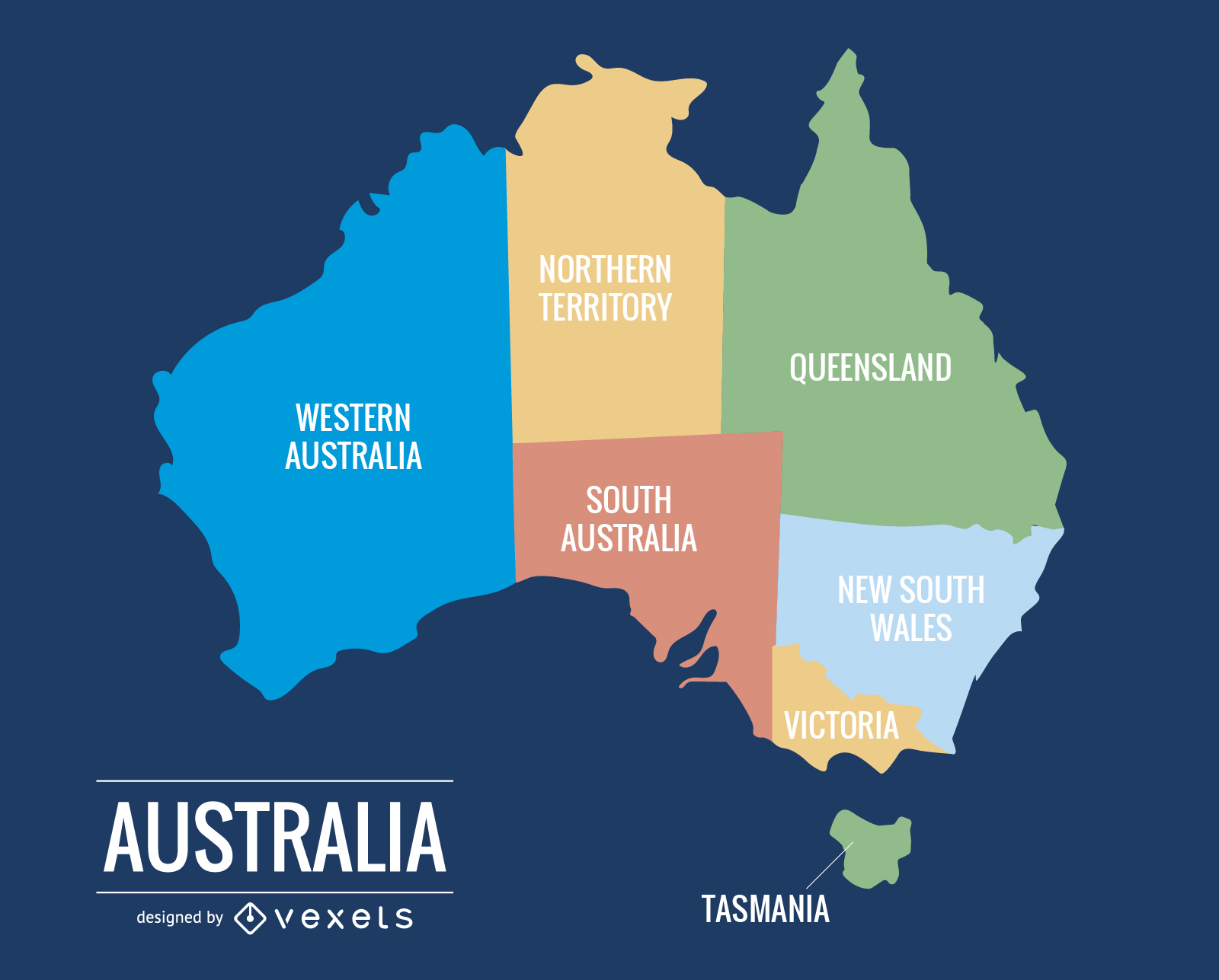
015 Australia Map
Choose a folder
All favorites
Create new
Save
015 Australia Map
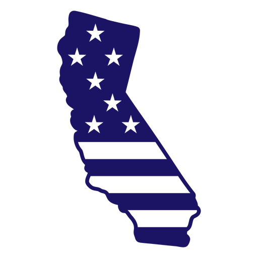
Califiornia map filled stroke PNG Design
Choose a folder
All favorites
Create new
Save
Califiornia map filled stroke PNG Design
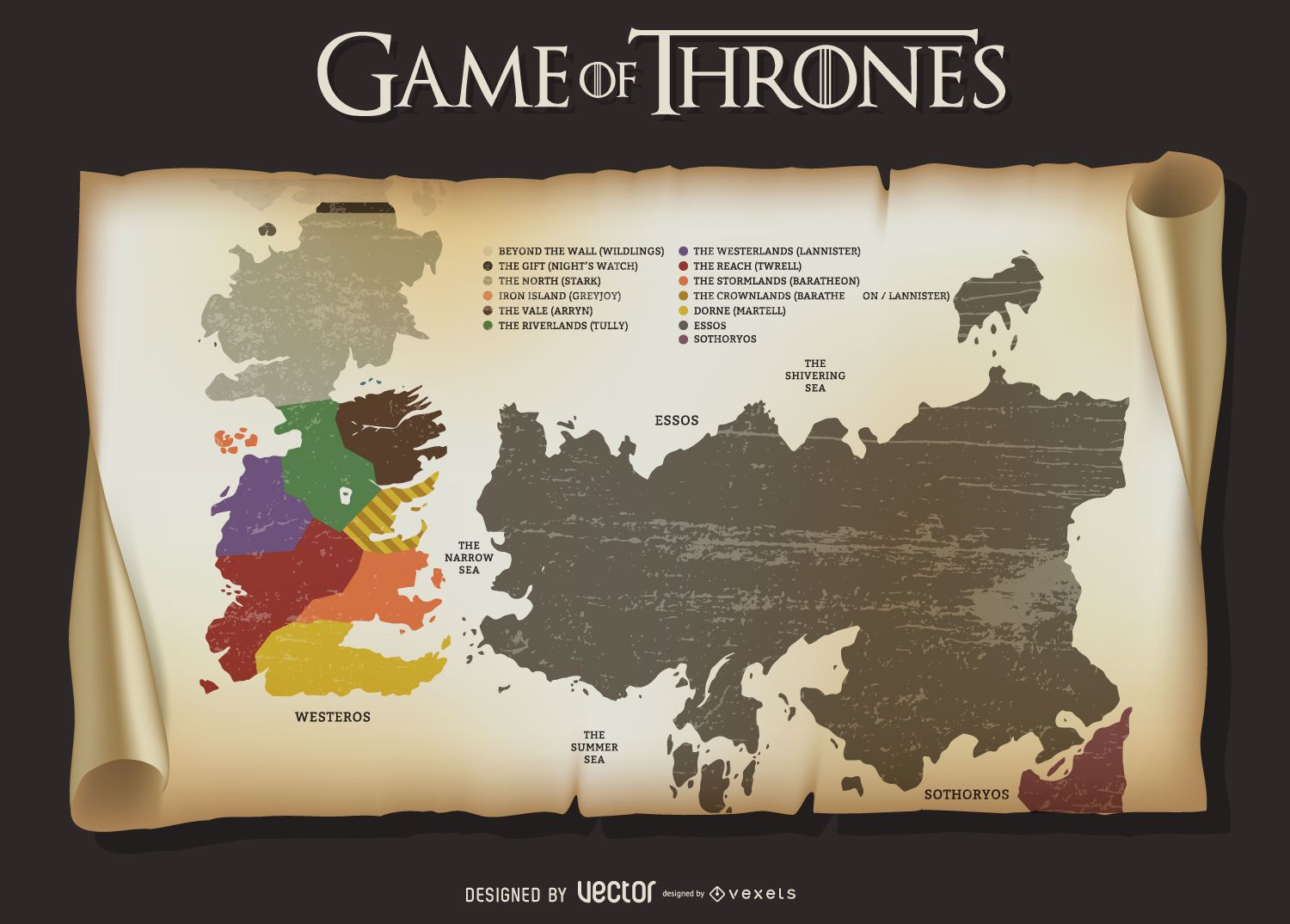
Game of Thrones map
Choose a folder
All favorites
Create new
Save
Game of Thrones map
Print ready
for Merch
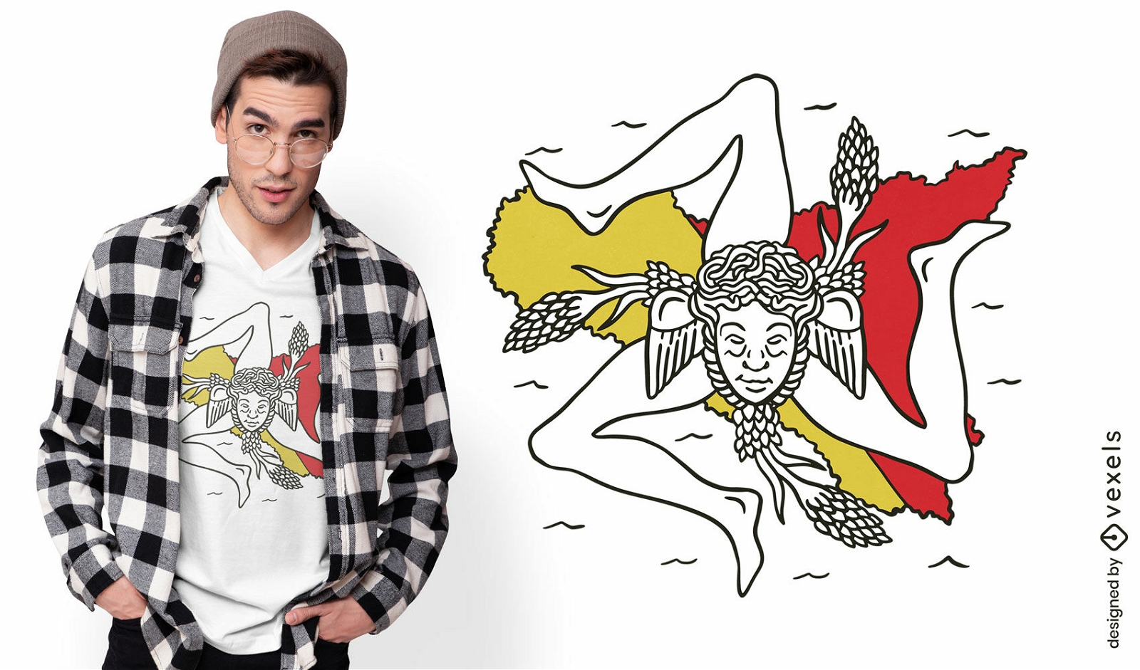
Sicily italy map and flag t-shirt design
Choose a folder
All favorites
Create new
Save
Sicily italy map and flag t-shirt design
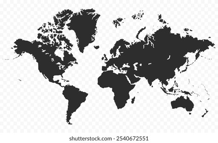
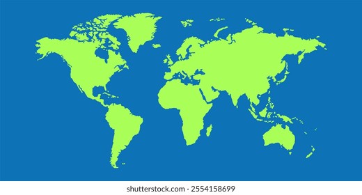
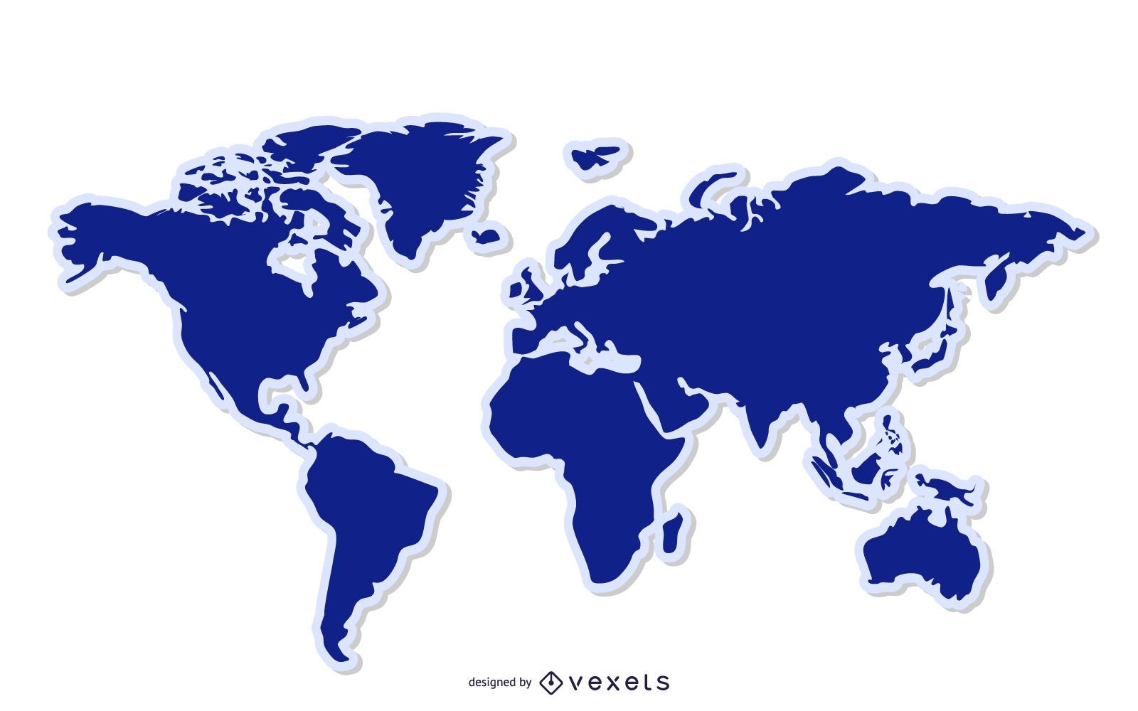
Blue World Map Background
Choose a folder
All favorites
Create new
Save
Blue World Map Background
US map with handwritten states
Choose a folder
All favorites
Create new
Save
US map with handwritten states
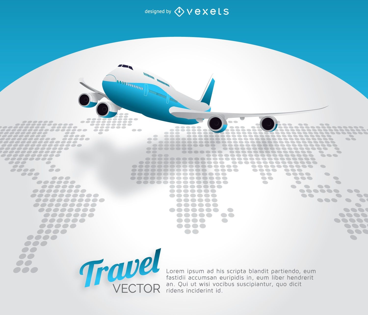
Plane travel world map
Choose a folder
All favorites
Create new
Save
Plane travel world map
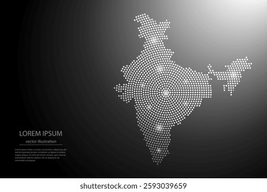
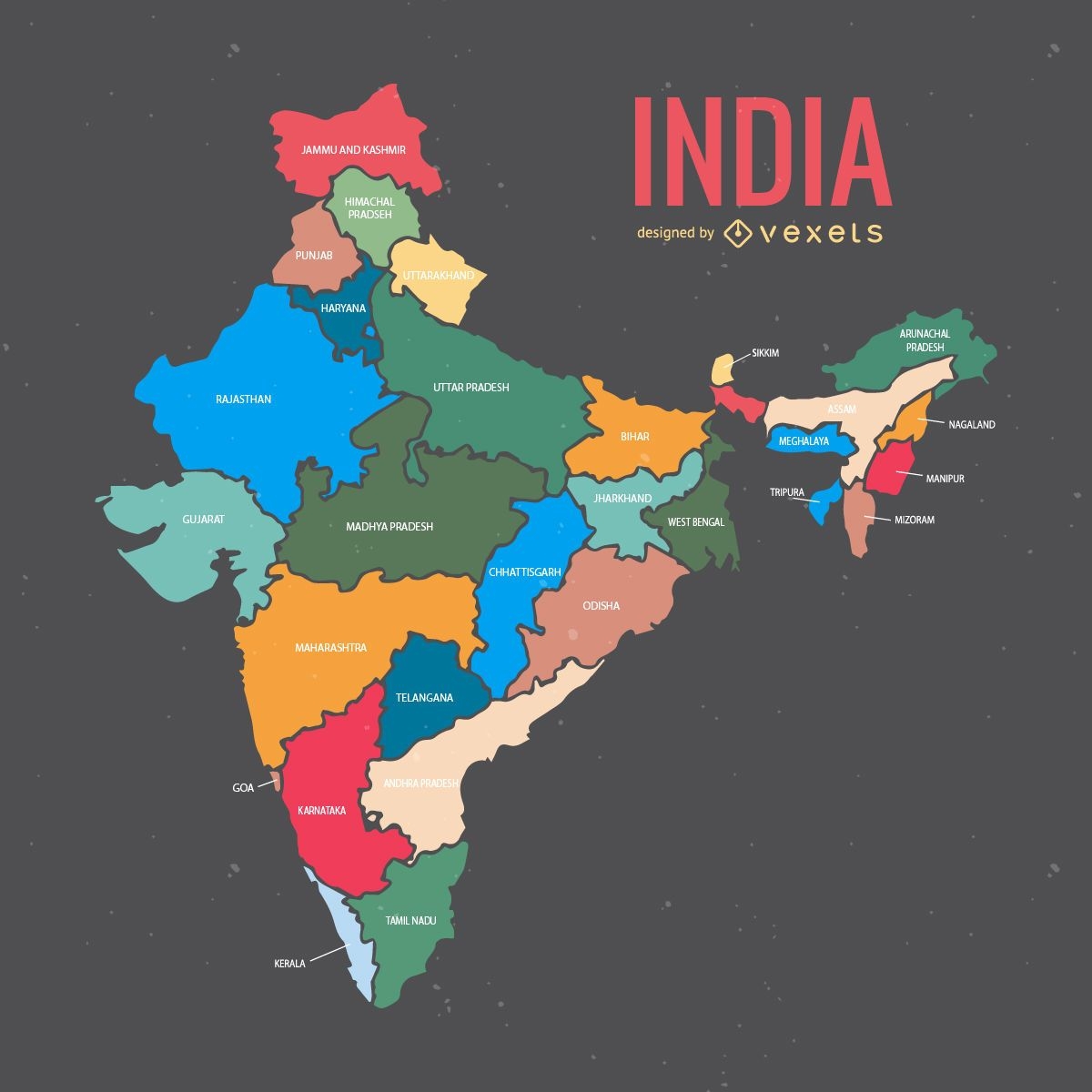
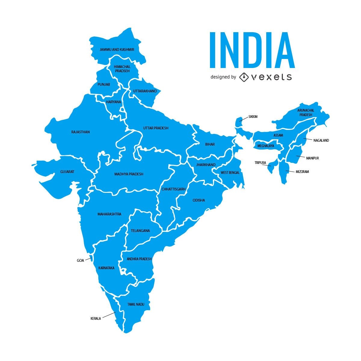
India map with states
Choose a folder
All favorites
Create new
Save
India map with states
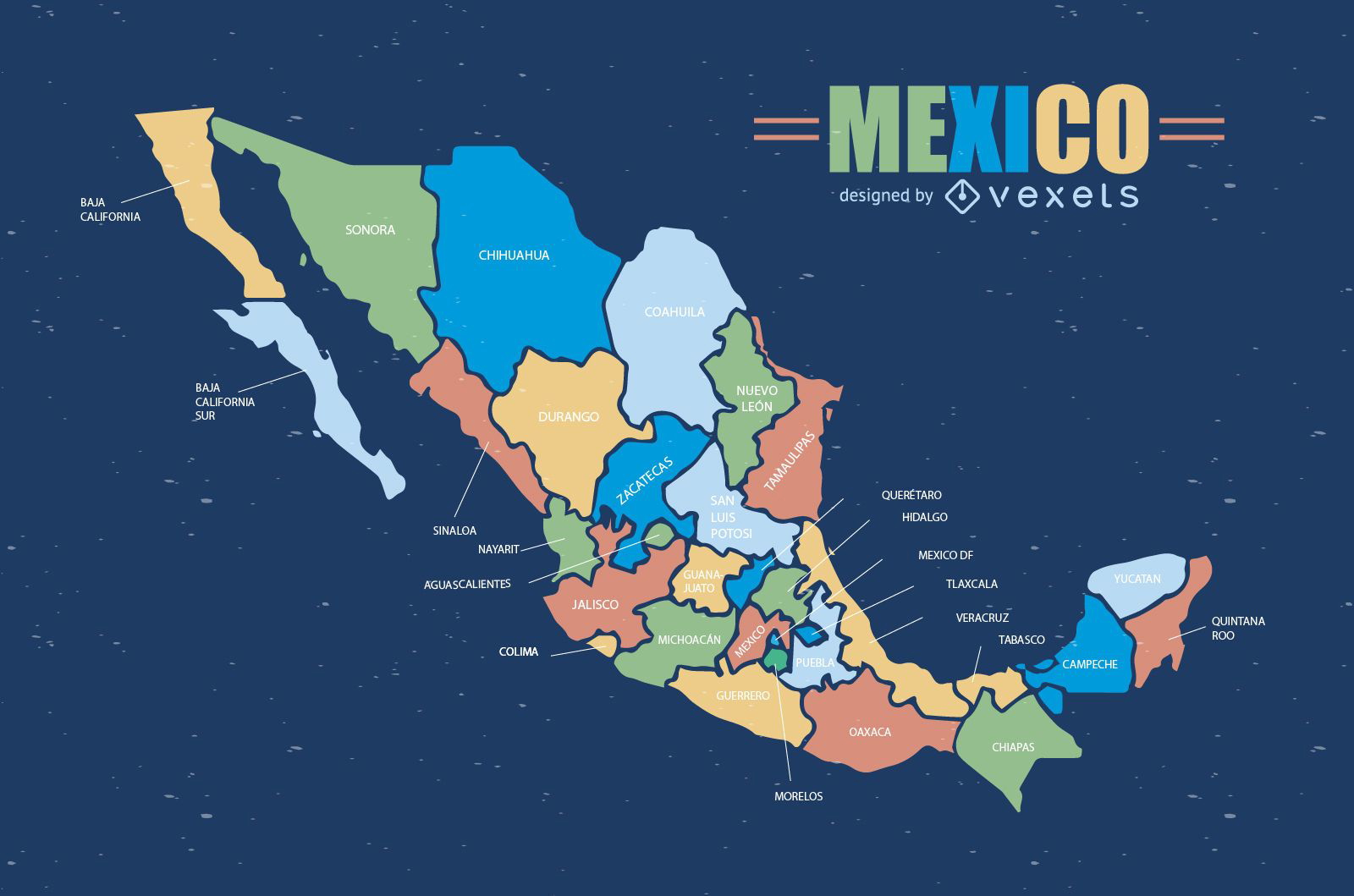
Colorful Mexico map
Choose a folder
All favorites
Create new
Save
Colorful Mexico map
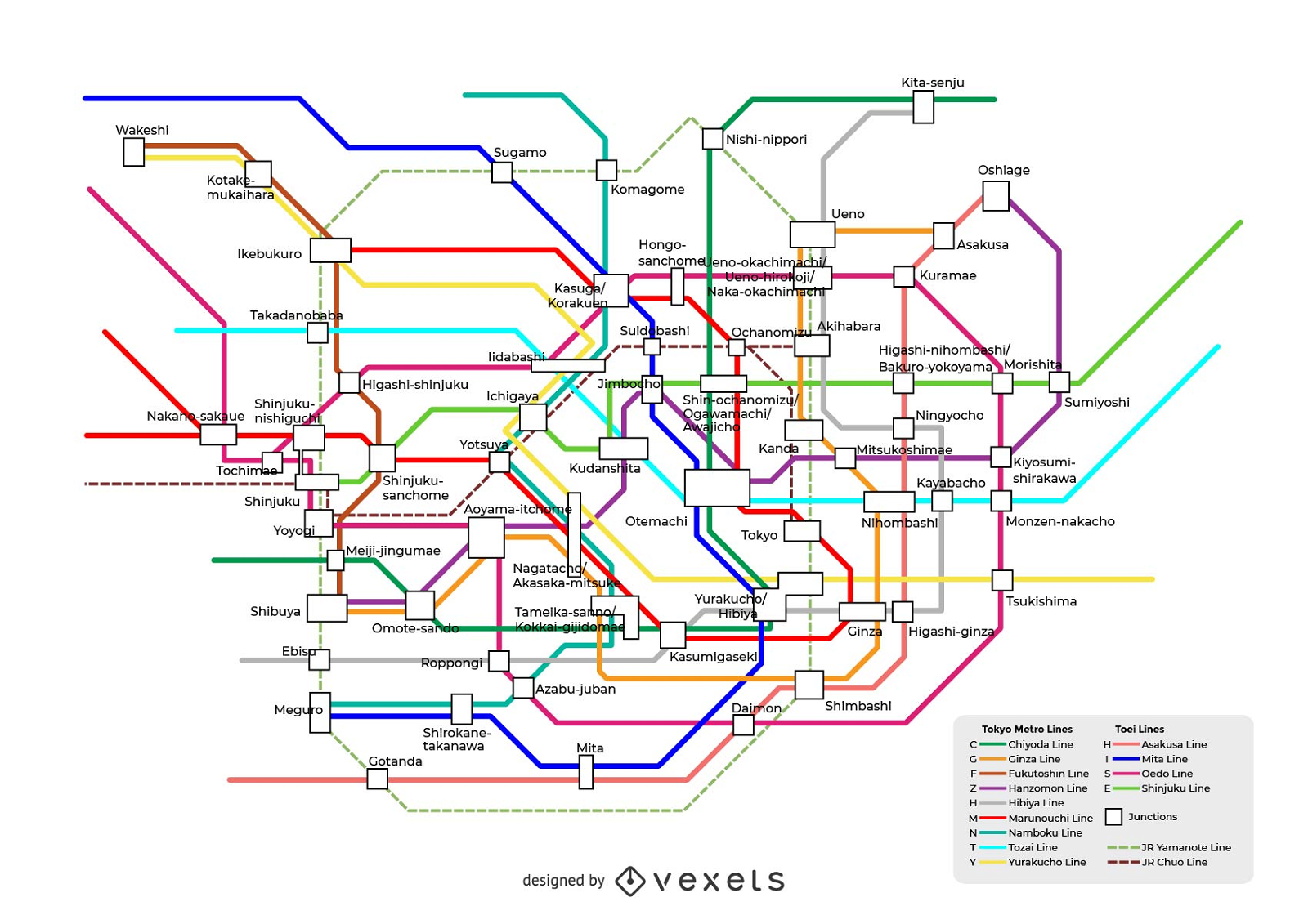
Tokyo Subway Route Map Vector Operations
Choose a folder
All favorites
Create new
Save
Tokyo Subway Route Map Vector Operations
Print ready
for Merch
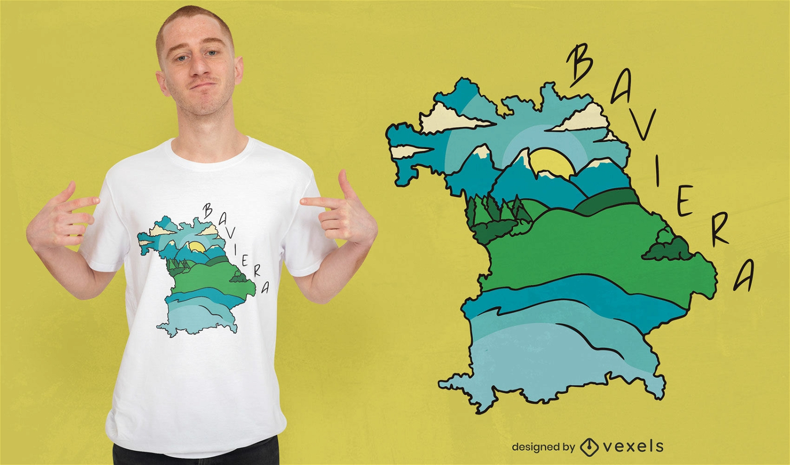
Baviera landscape and map t-shirt design
Choose a folder
All favorites
Create new
Save
Baviera landscape and map t-shirt design
Tileable pattern
Premium
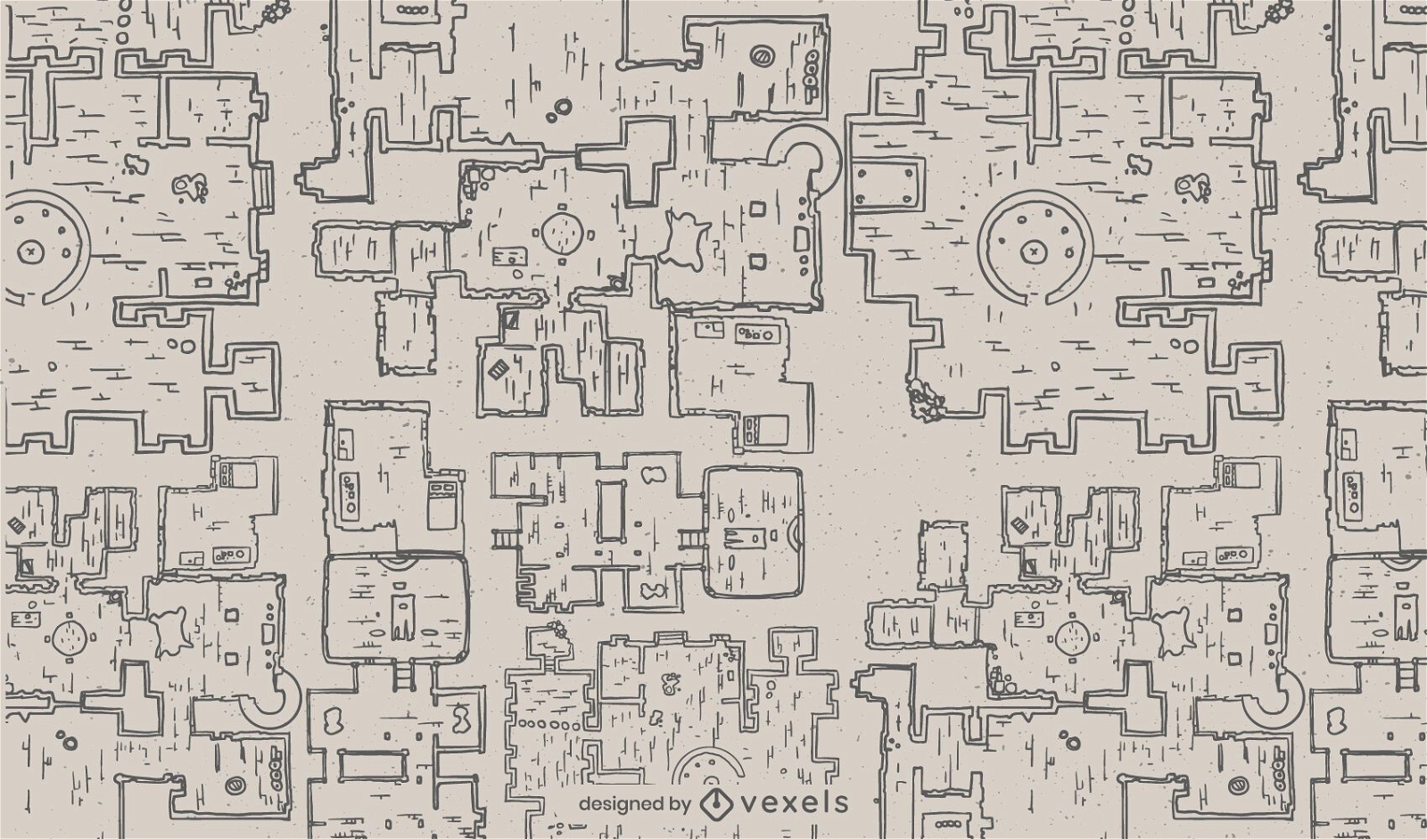
Fantasy dungeon architecture map pattern
Choose a folder
All favorites
Create new
Save
Fantasy dungeon architecture map pattern
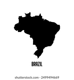
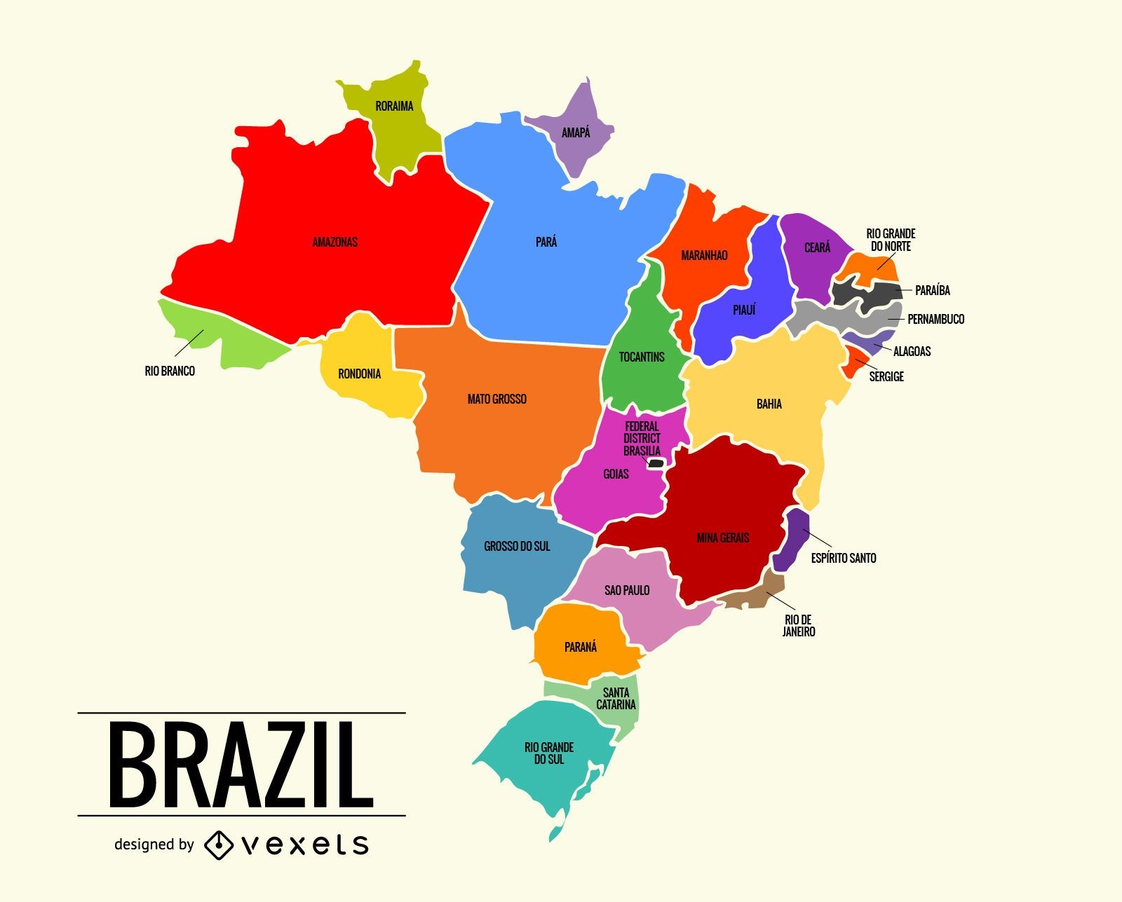
Colorful Brazil map
Choose a folder
All favorites
Create new
Save
Colorful Brazil map
India states map
Choose a folder
All favorites
Create new
Save
India states map
Premium
The state of texas retro map PNG Design
Choose a folder
All favorites
Create new
Save
The state of texas retro map PNG Design
Florida usa map stroke PNG Design
Choose a folder
All favorites
Create new
Save
Florida usa map stroke PNG Design
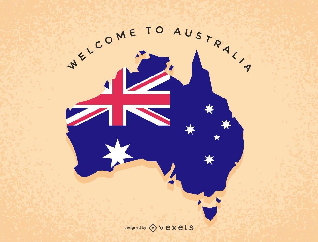
Australia illustration map
Choose a folder
All favorites
Create new
Save
Australia illustration map
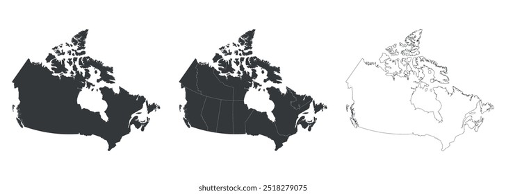
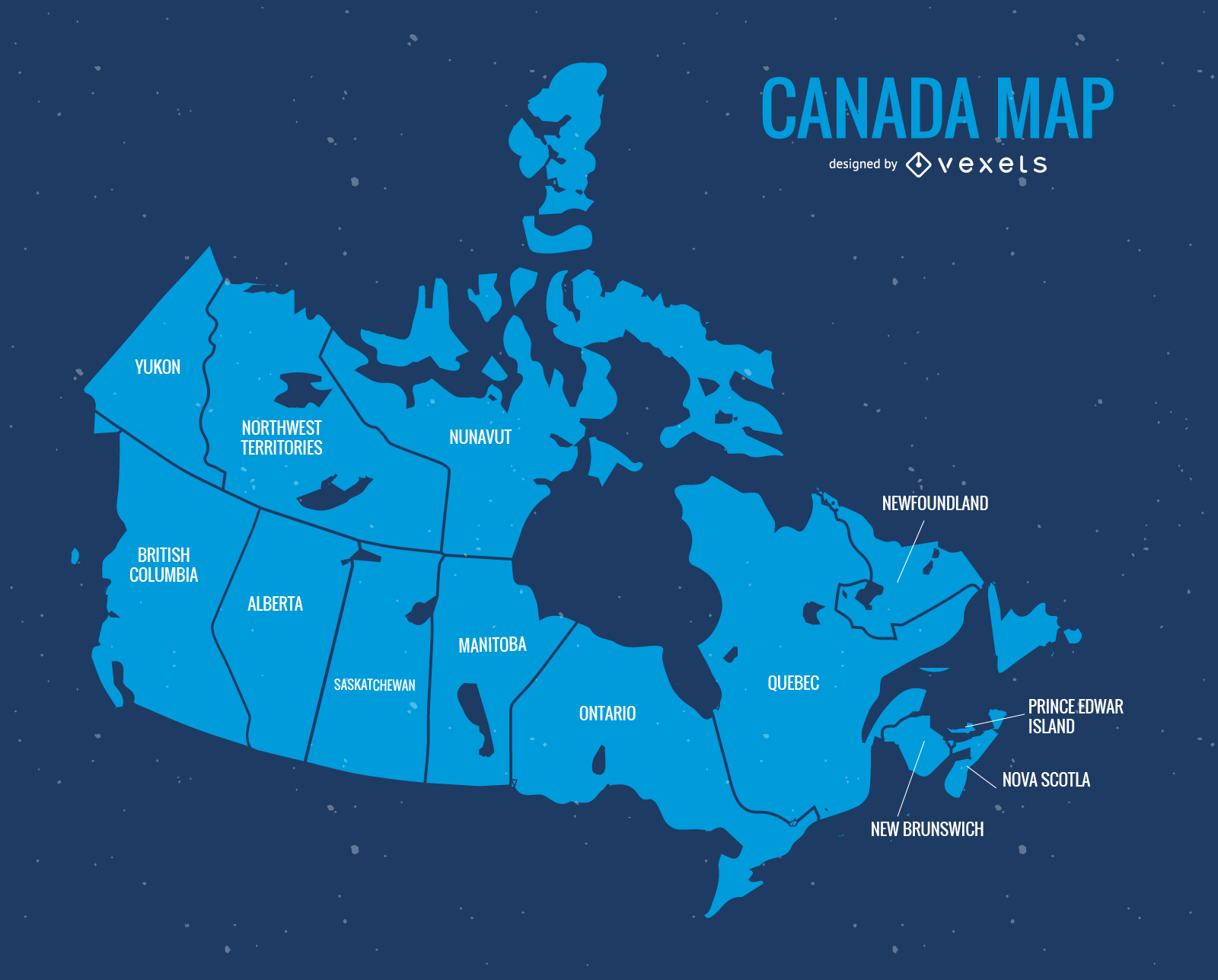
Blue Canada Day Vector Map
Choose a folder
All favorites
Create new
Save
Blue Canada Day Vector Map
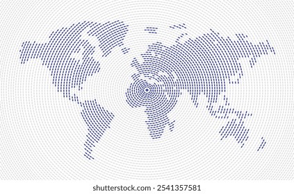
Digital map of world with continents
Choose a folder
All favorites
Create new
Save
Digital map of world with continents
Print ready
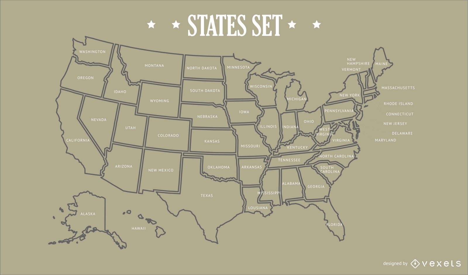
USA States Map Design
Choose a folder
All favorites
Create new
Save
USA States Map Design
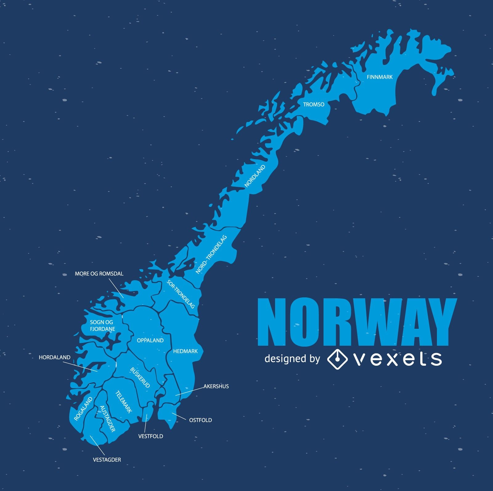
Norway map
Choose a folder
All favorites
Create new
Save
Norway map
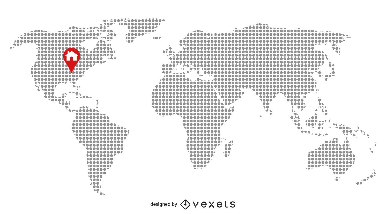
Pixilated Map with Home Location
Choose a folder
All favorites
Create new
Save
Pixilated Map with Home Location
Print ready
for Merch
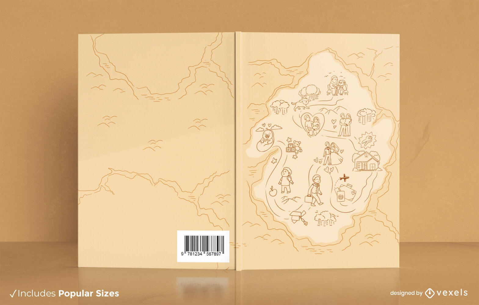
Life map book cover design KDP
Choose a folder
All favorites
Create new
Save
Life map book cover design KDP
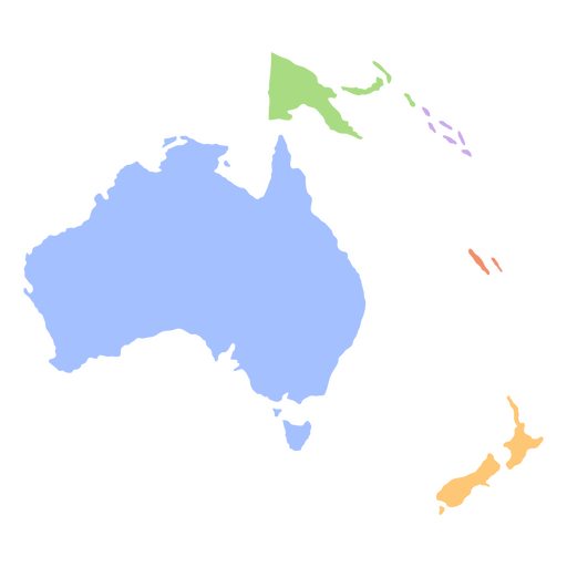
Oceania flat continents map PNG Design
Choose a folder
All favorites
Create new
Save
Oceania flat continents map PNG Design
Texas usa map silhouette PNG Design
Choose a folder
All favorites
Create new
Save
Texas usa map silhouette PNG Design
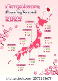
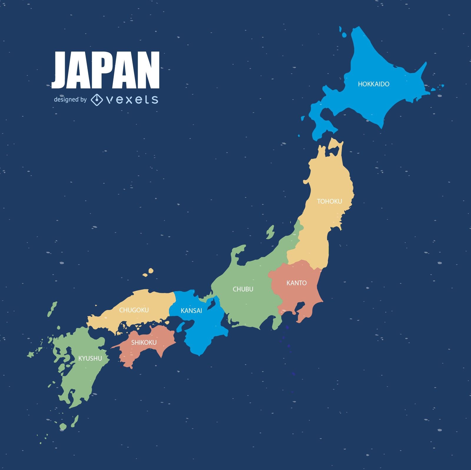
Colorful Japan map
Choose a folder
All favorites
Create new
Save
Colorful Japan map
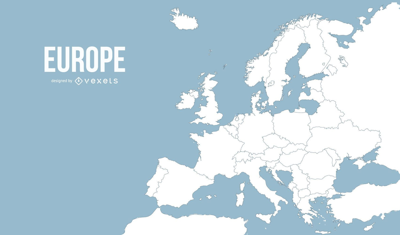
Europe map illustration
Choose a folder
All favorites
Create new
Save
Europe map illustration
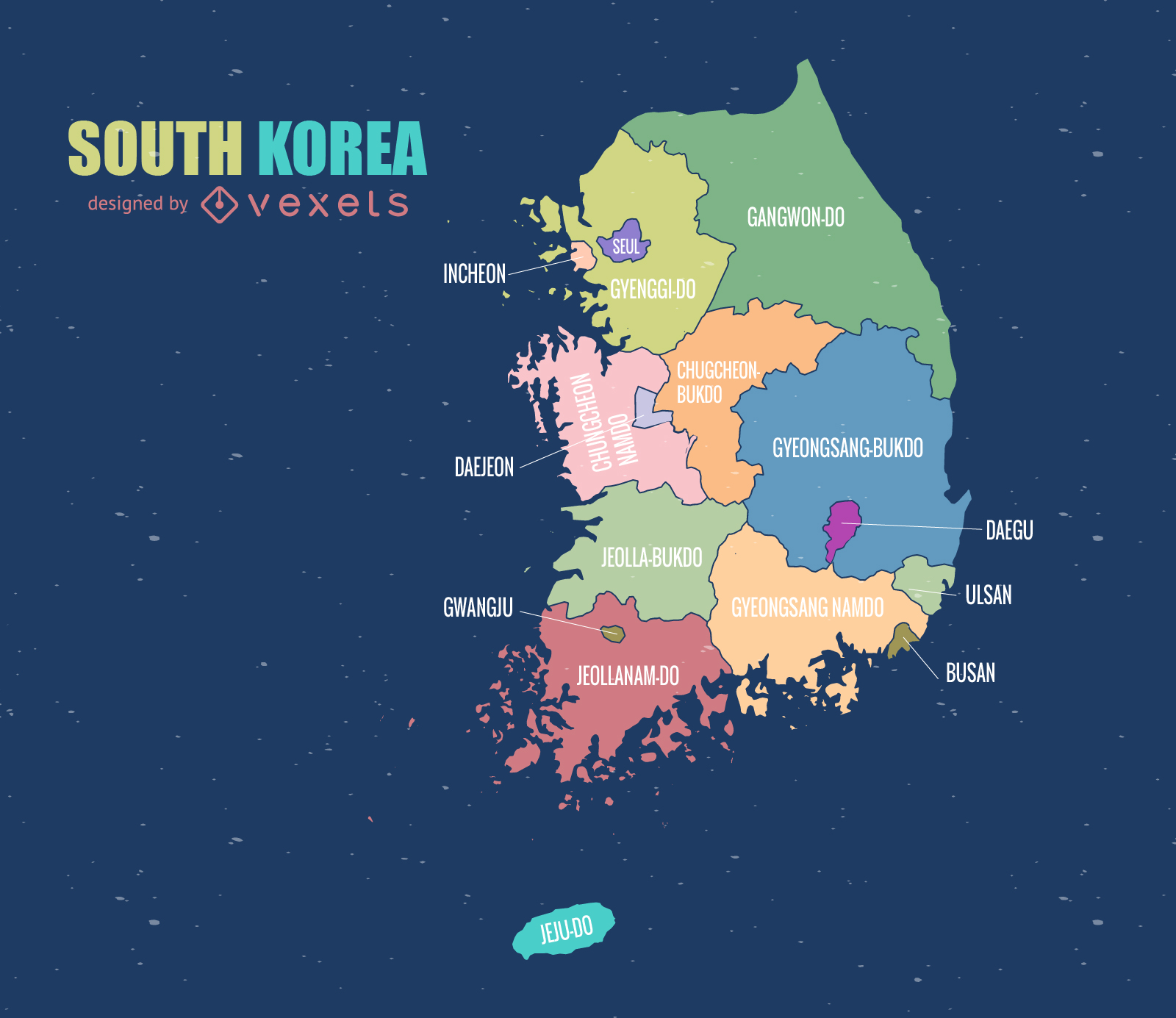
South Korea Map
Choose a folder
All favorites
Create new
Save
South Korea Map
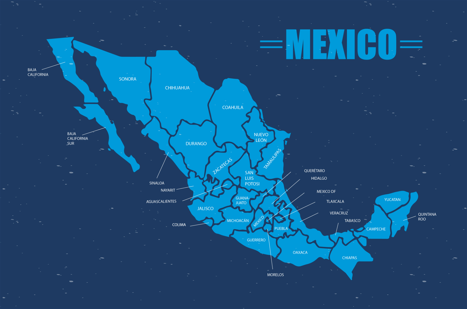
Mexico Map Vector
Choose a folder
All favorites
Create new
Save
Mexico Map Vector
Premium
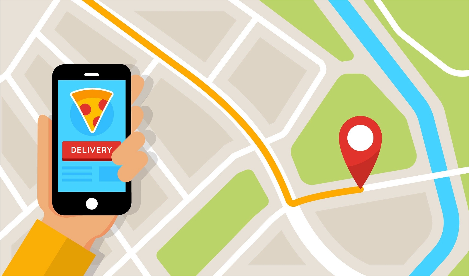
Delivery map flat application screen
Choose a folder
All favorites
Create new
Save
Delivery map flat application screen
German Content
Premium
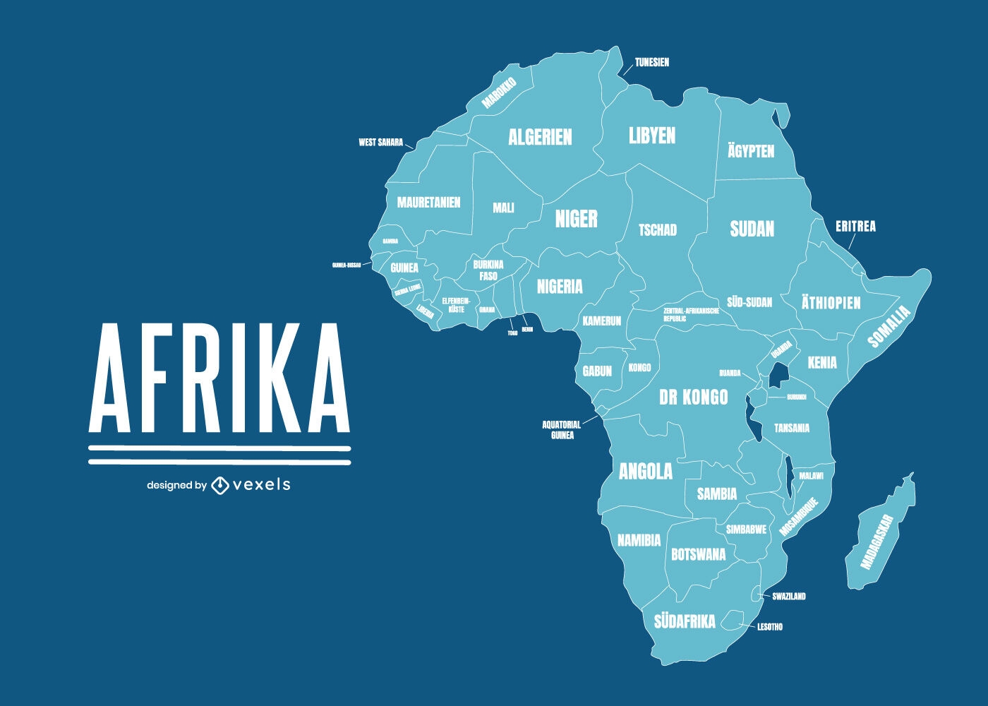
Geographical map of Africa with country names
Choose a folder
All favorites
Create new
Save
Geographical map of Africa with country names
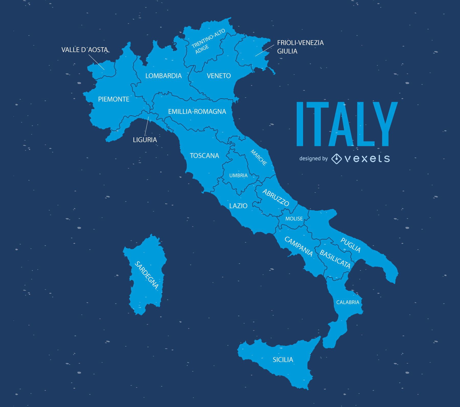
Italy map illustration
Choose a folder
All favorites
Create new
Save
Italy map illustration
Cool World Map
Choose a folder
All favorites
Create new
Save
Cool World Map
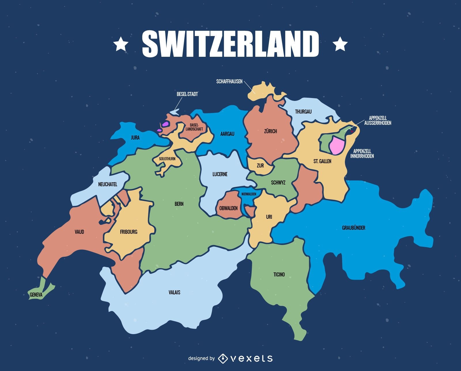
Switzerland cantons map
Choose a folder
All favorites
Create new
Save
Switzerland cantons map
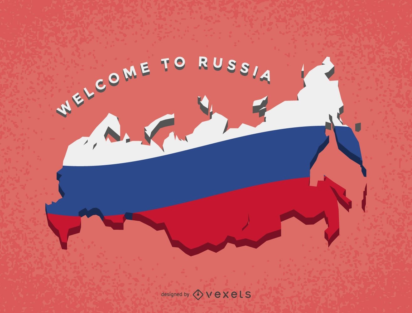
Russia map with flag
Choose a folder
All favorites
Create new
Save
Russia map with flag
Print ready
for Merch
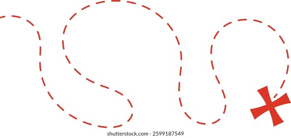
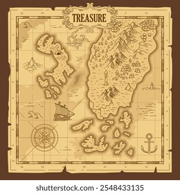
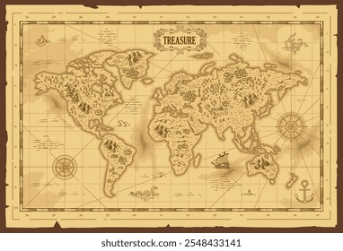
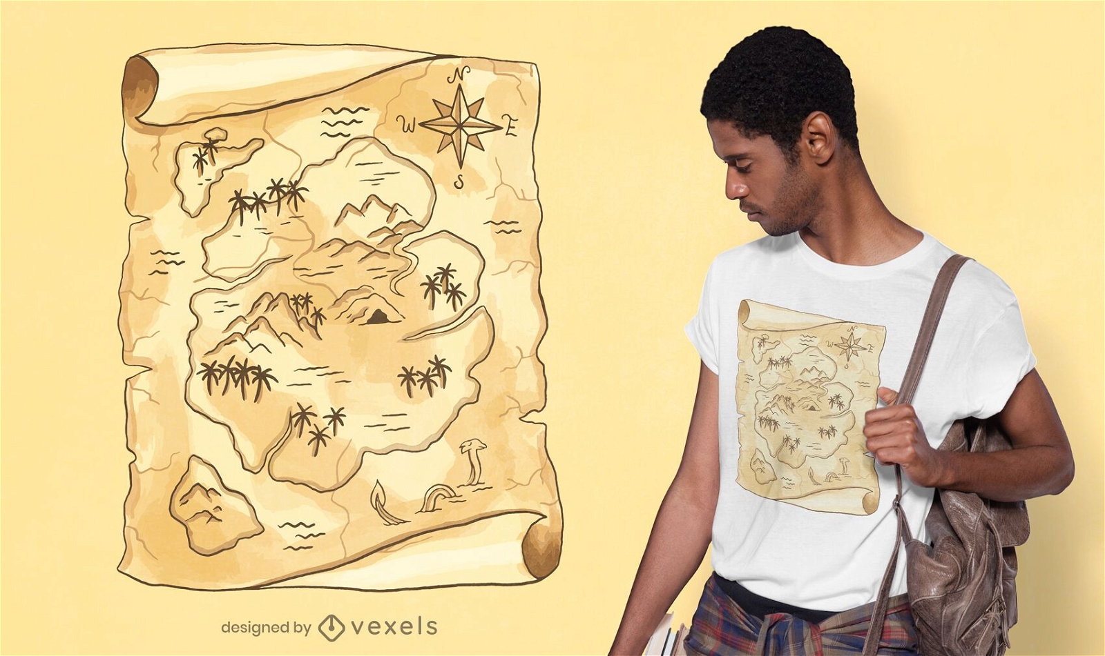
Treasure map t-shirt design
Choose a folder
All favorites
Create new
Save
Treasure map t-shirt design
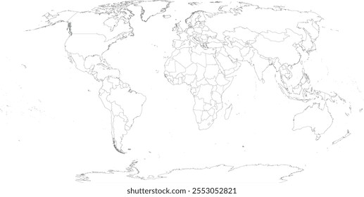
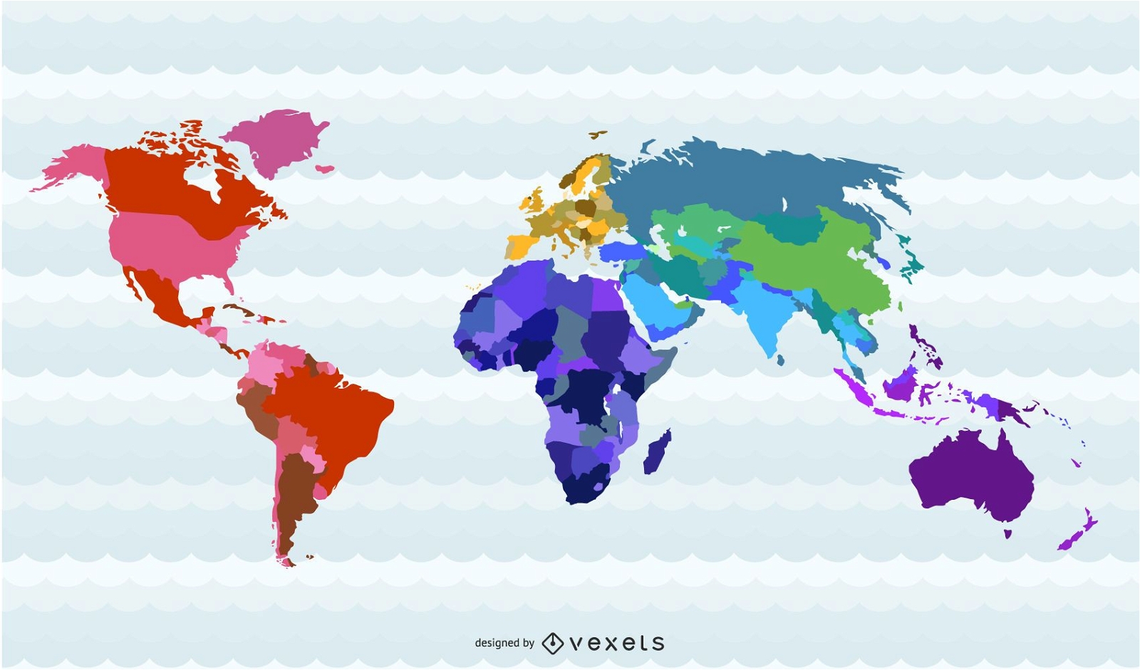
World Map Countries
Choose a folder
All favorites
Create new
Save
World Map Countries
Print ready
for Merch
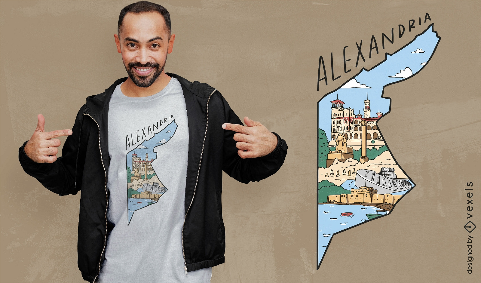
Alexandria egypt map t-shirt design
Choose a folder
All favorites
Create new
Save
Alexandria egypt map t-shirt design
Print ready
for Merch
Scotland map t-shirt design
Choose a folder
All favorites
Create new
Save
Scotland map t-shirt design
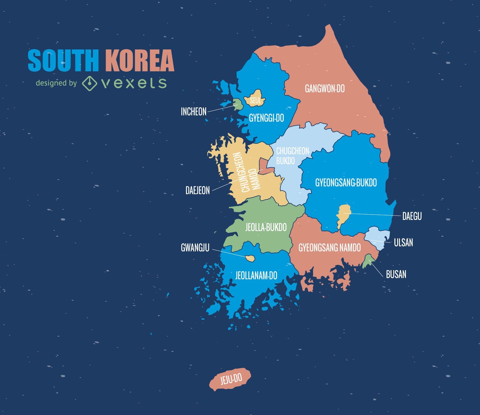
South Korea colored administrative map
Choose a folder
All favorites
Create new
Save
South Korea colored administrative map
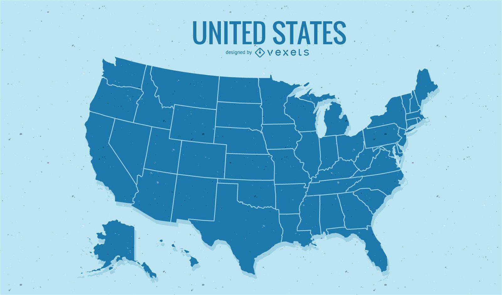
United States Map Vector
Choose a folder
All favorites
Create new
Save
United States Map Vector
Australian map with traditional elements
Choose a folder
All favorites
Create new
Save
Australian map with traditional elements
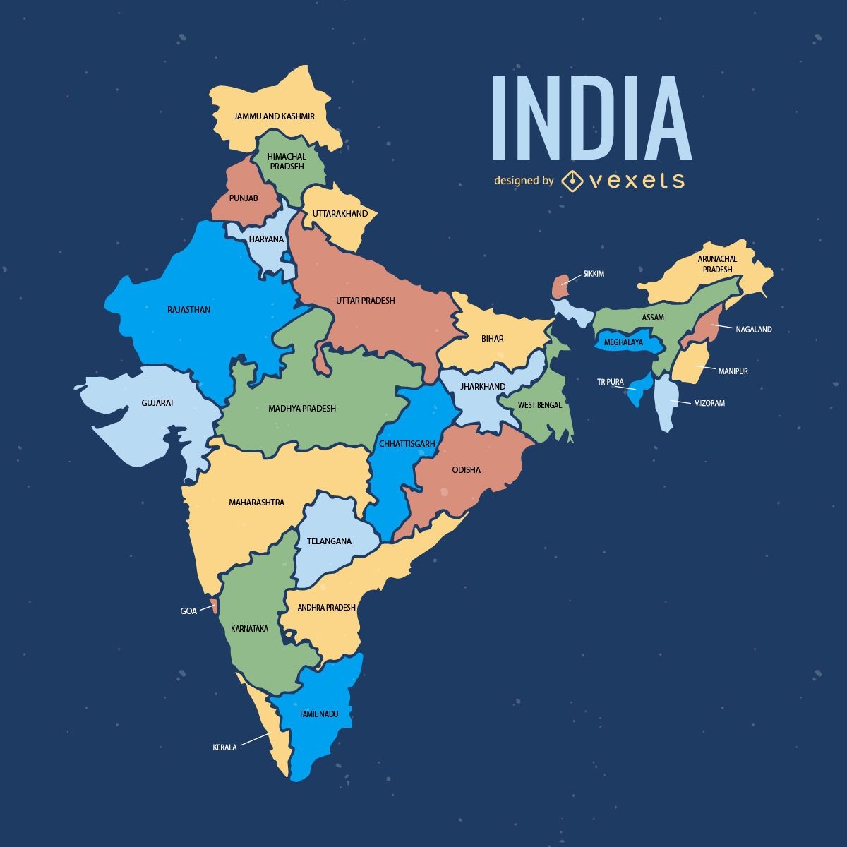
India administrative division map
Choose a folder
All favorites
Create new
Save
India administrative division map
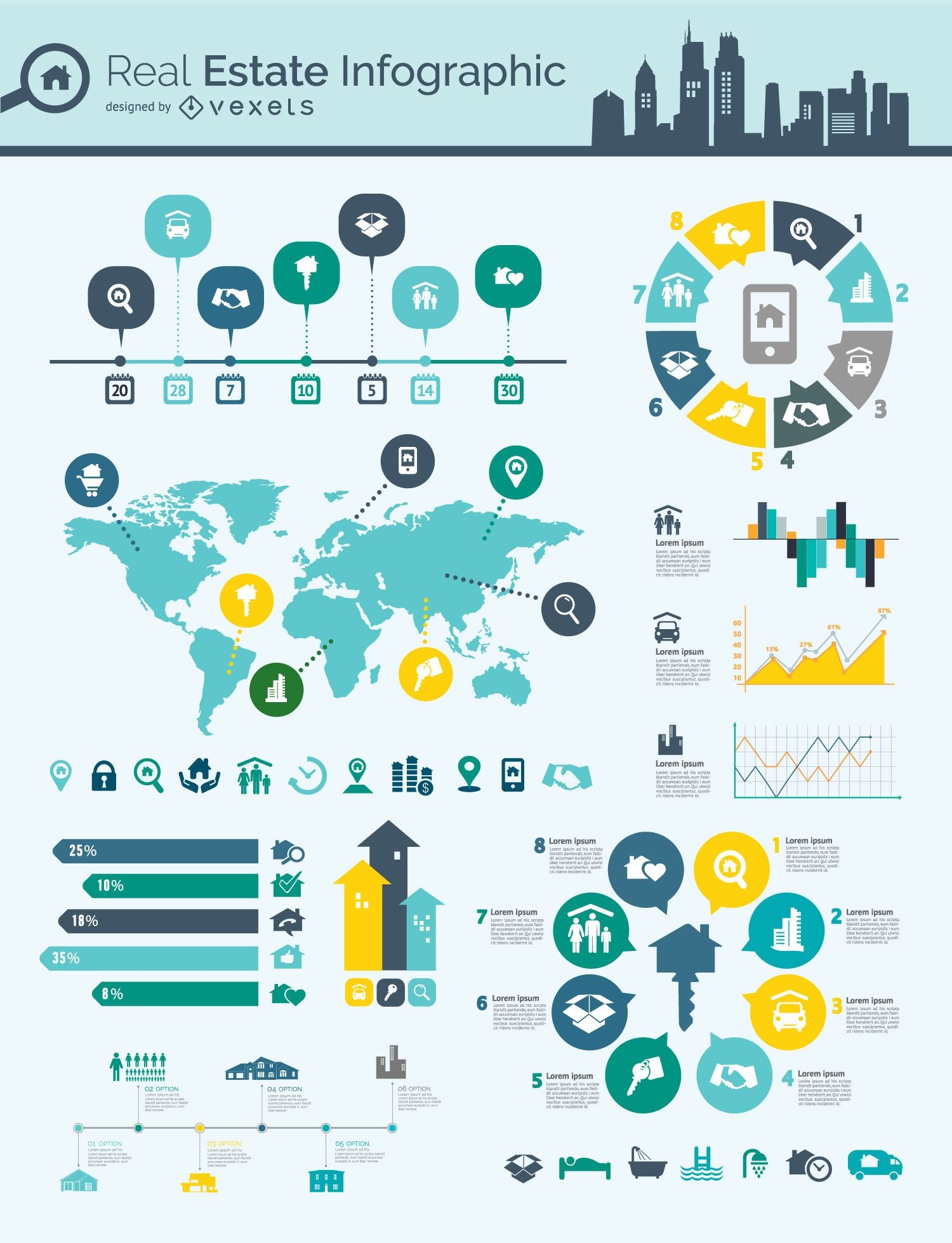
Real estate infographic mindmap
Choose a folder
All favorites
Create new
Save
Real estate infographic mindmap
Singapore region map
Choose a folder
All favorites
Create new
Save
Singapore region map
Print ready
for Merch
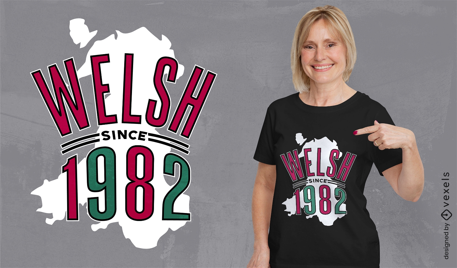
Wales country map birthday quote t-shirt design
Choose a folder
All favorites
Create new
Save
Wales country map birthday quote t-shirt design
Print ready
for Merch
Africa map t-shirt design
Choose a folder
All favorites
Create new
Save
Africa map t-shirt design
Print ready
for Merch
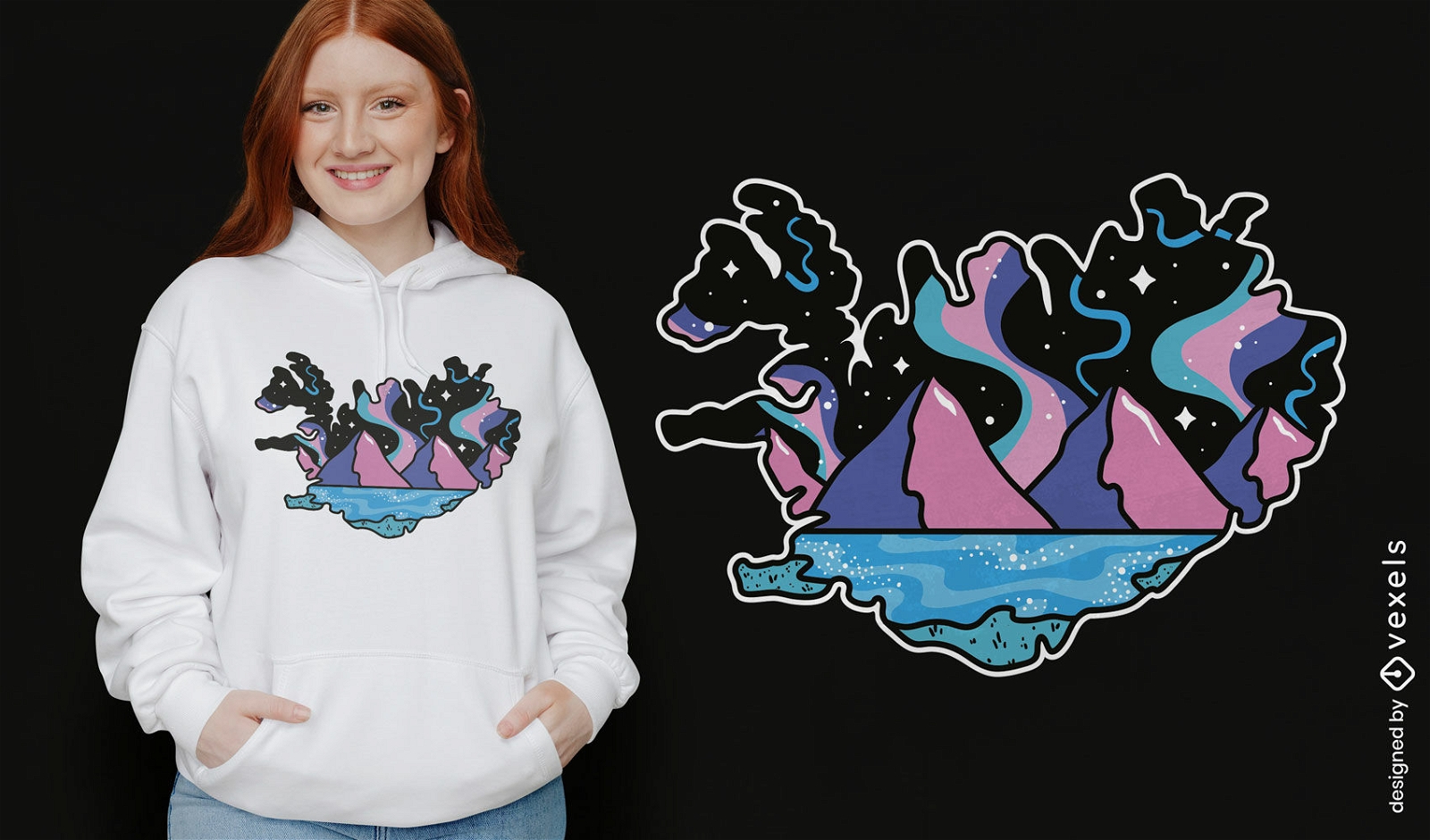
Northern Lights Iceland map t-shirt design
Choose a folder
All favorites
Create new
Save
Northern Lights Iceland map t-shirt design
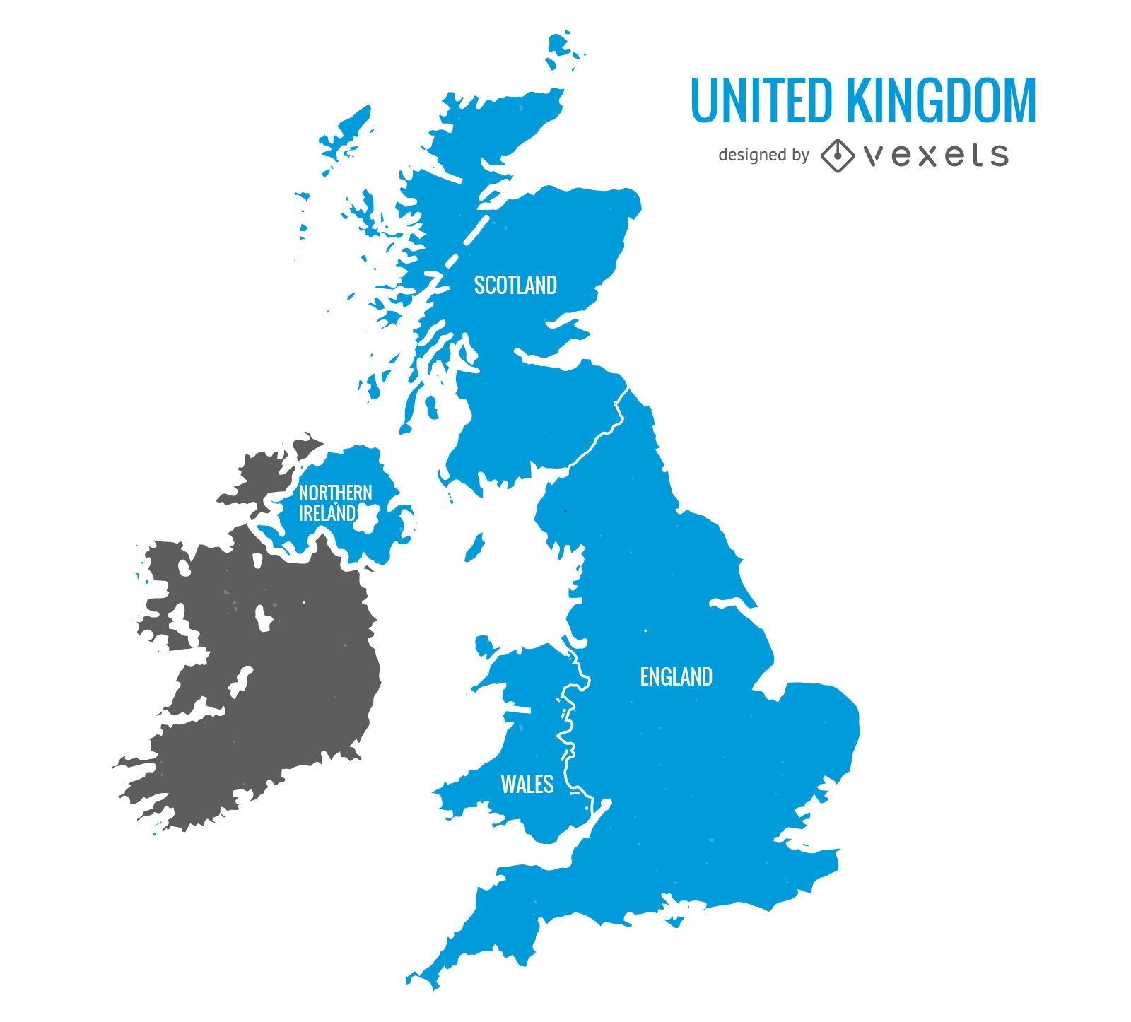
United Kingdom blue map
Choose a folder
All favorites
Create new
Save
United Kingdom blue map
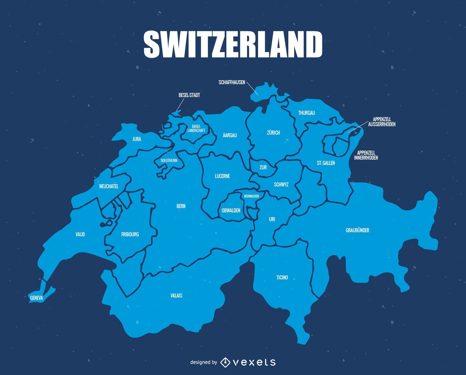
Switzerland administrative division map
Choose a folder
All favorites
Create new
Save
Switzerland administrative division map
Boost Your Business
With The Leading Graphic Platform For Merch.
SEE PLANS
Next
of 38
prev page
next page