Design Library
Explore Designs
New Merch Designs
Trending Merch Designs
Vectors
PNGs & SVGs
Mockups
T-Shirts
T-Shirt PSD Templates
KDP Designs
Phone Cases
Pillows
Tote Bags
Posters
Mugs
Design Tools
Designer
New!
T-shirt Maker
Mockup Generator
Quote Generator
Logo Maker
Resources
Merch Digest
Blog
Help Center
Creators Program
Learn About Merch
Changelog
Pricing
Loading...
Sign Up
Login
All
maps
Design Library
Explore Designs
New Merch Designs
Trending Merch Designs
Vectors
PNGs & SVGs
Mockups
T-Shirts
T-Shirt PSD Templates
KDP Designs
Phone Cases
Pillows
Tote Bags
Posters
Mugs
Design Tools
Designer
New!
T-shirt Maker
Mockup Generator
Quote Generator
Logo Maker
Resources
Merch Digest
Blog
Help Center
Creators Program
Learn About Merch
Changelog
PLANS
All
maps
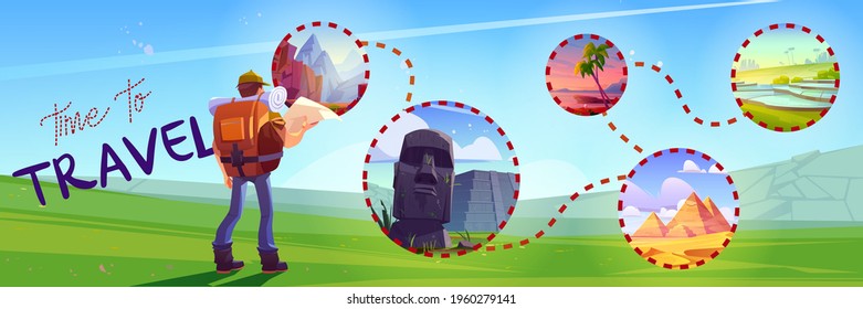
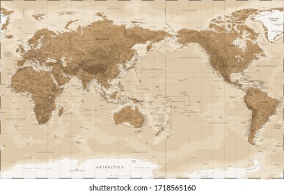
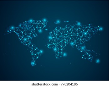
5200 maps designs graphics for t-shirt and print on demand merch
Download maps t-shirt designs and other merch graphics like book covers, phone cases, tote bags and more.
Related:
base maps
,
world livestock maps
,
old maps
Sort by
Most relevant
Sponsored results by
Get 15% off with code: VEXELS15
Show more
Honduras horchata stroke PNG Design
Choose a folder
All favorites
Create new
Save
Honduras horchata stroke PNG Design
Muneca quitapena guatemala flat PNG Design
Choose a folder
All favorites
Create new
Save
Muneca quitapena guatemala flat PNG Design
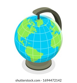
Earth globe colorful icon stroke PNG Design
Choose a folder
All favorites
Create new
Save
Earth globe colorful icon stroke PNG Design
Premium
Colima state map PNG Design
Choose a folder
All favorites
Create new
Save
Colima state map PNG Design
Premium
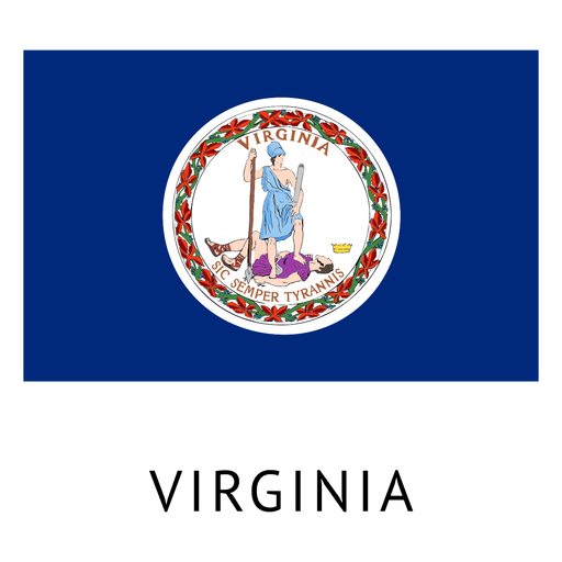
Virginia state flag PNG Design
Choose a folder
All favorites
Create new
Save
Virginia state flag PNG Design
Premium
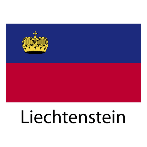
Liechtenstein national flag PNG Design
Choose a folder
All favorites
Create new
Save
Liechtenstein national flag PNG Design
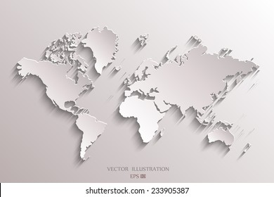
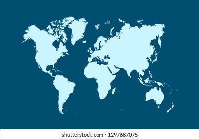
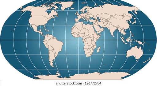
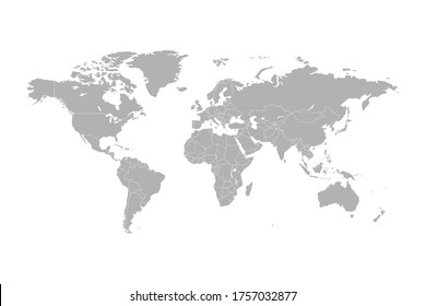
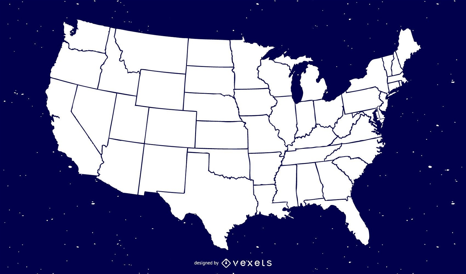
Free Map Vector Of America
Choose a folder
All favorites
Create new
Save
Free Map Vector Of America
Premium
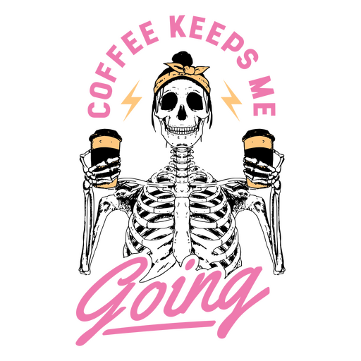
Skeleton holding a cup of coffee with the words coffee keeps me going PNG Design
Choose a folder
All favorites
Create new
Save
Skeleton holding a cup of coffee with the words coffee keeps me going PNG Design
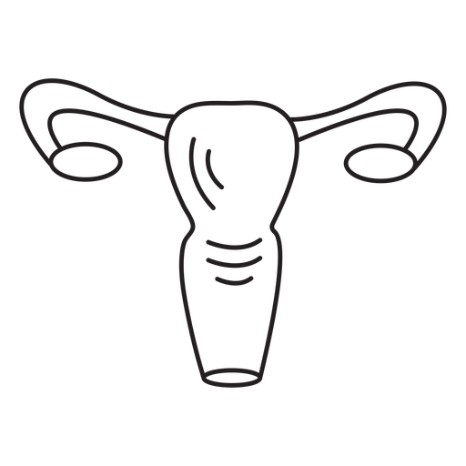
Female reproductive system stroke PNG Design
Choose a folder
All favorites
Create new
Save
Female reproductive system stroke PNG Design
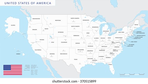
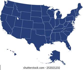
United states of america icon PNG Design
Choose a folder
All favorites
Create new
Save
United states of america icon PNG Design
Premium
Location pin colored stroke icon PNG Design
Choose a folder
All favorites
Create new
Save
Location pin colored stroke icon PNG Design
Premium
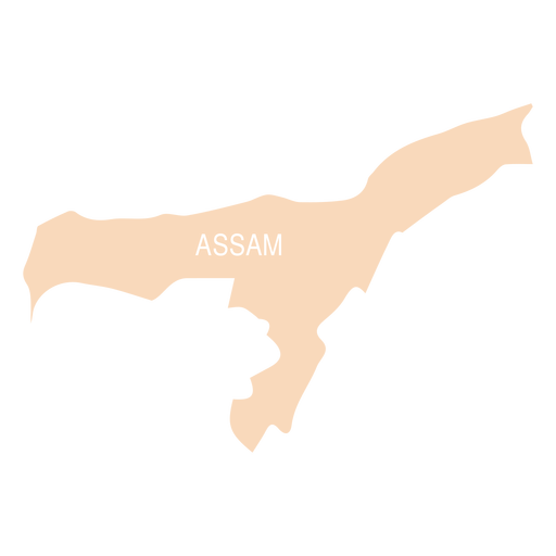
Assam state map PNG Design
Choose a folder
All favorites
Create new
Save
Assam state map PNG Design
Premium
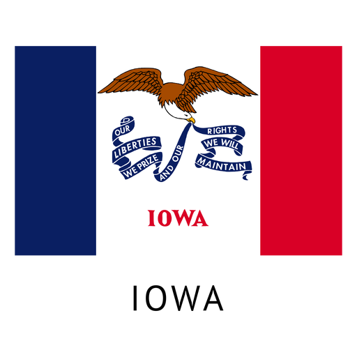
Iowa state flag PNG Design
Choose a folder
All favorites
Create new
Save
Iowa state flag PNG Design
Premium
Flipped label PNG Design
Choose a folder
All favorites
Create new
Save
Flipped label PNG Design
Premium
Congo democratic republic national flag PNG Design
Choose a folder
All favorites
Create new
Save
Congo democratic republic national flag PNG Design
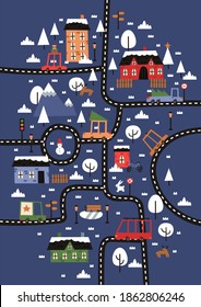
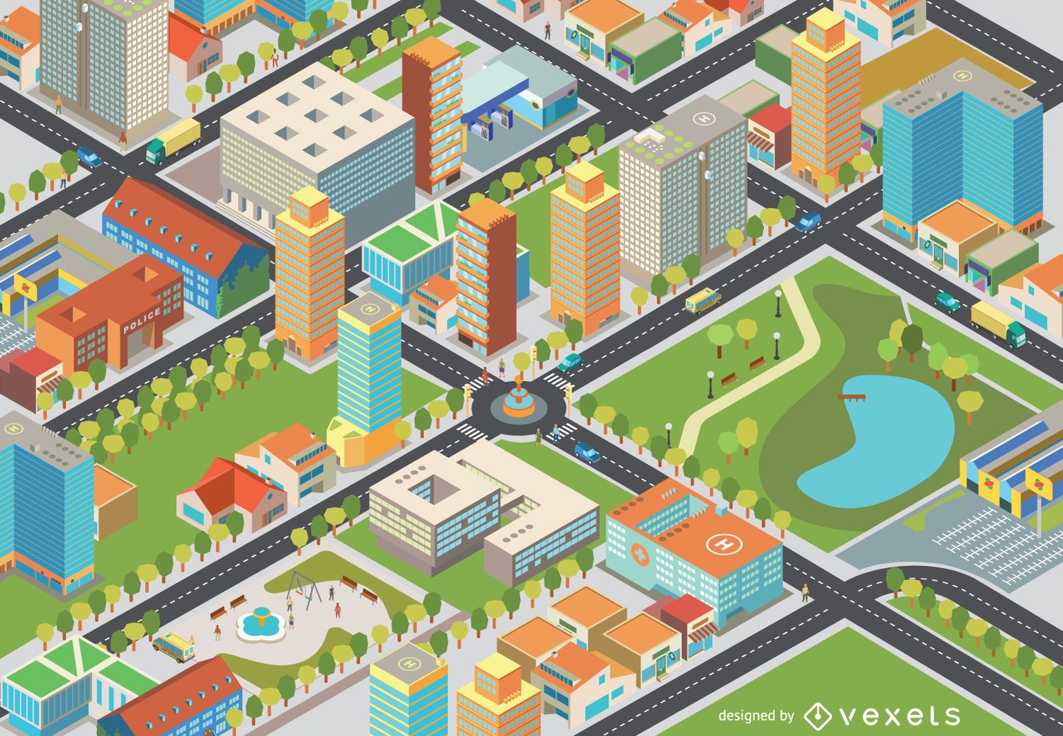
Isometric cityscape - Easy Edit
Choose a folder
All favorites
Create new
Save
Isometric cityscape - Easy Edit
Rolling pin filled stroke PNG Design
Choose a folder
All favorites
Create new
Save
Rolling pin filled stroke PNG Design
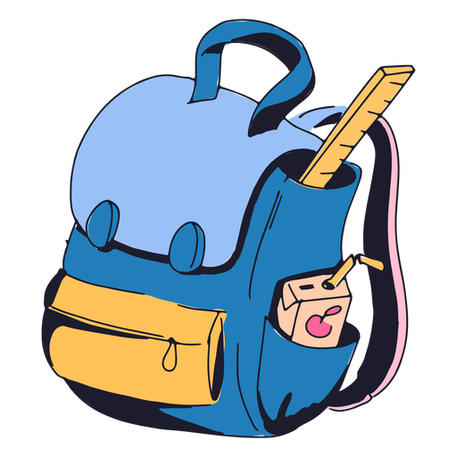
Blue backpack color stroke PNG Design
Choose a folder
All favorites
Create new
Save
Blue backpack color stroke PNG Design
Mercury planet illustration PNG Design
Choose a folder
All favorites
Create new
Save
Mercury planet illustration PNG Design
Premium
Earth heart icon PNG Design
Choose a folder
All favorites
Create new
Save
Earth heart icon PNG Design
Premium
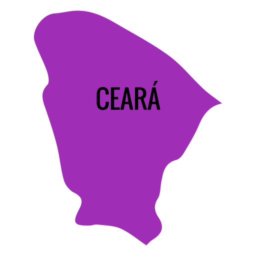
Ceara state map PNG Design
Choose a folder
All favorites
Create new
Save
Ceara state map PNG Design
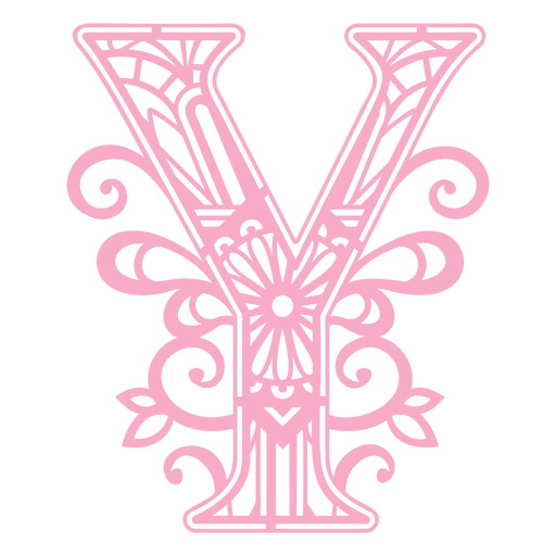
Pink letter Y mandala PNG Design
Choose a folder
All favorites
Create new
Save
Pink letter Y mandala PNG Design
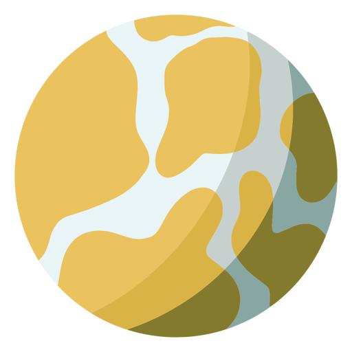
Simple earth color doodle PNG Design
Choose a folder
All favorites
Create new
Save
Simple earth color doodle PNG Design
Tikal guatemala flat PNG Design
Choose a folder
All favorites
Create new
Save
Tikal guatemala flat PNG Design
Premium
Planet earth happiness laugh smile gesture flat PNG Design
Choose a folder
All favorites
Create new
Save
Planet earth happiness laugh smile gesture flat PNG Design
Michigan color stroke states PNG Design
Choose a folder
All favorites
Create new
Save
Michigan color stroke states PNG Design
Tileable pattern
Premium
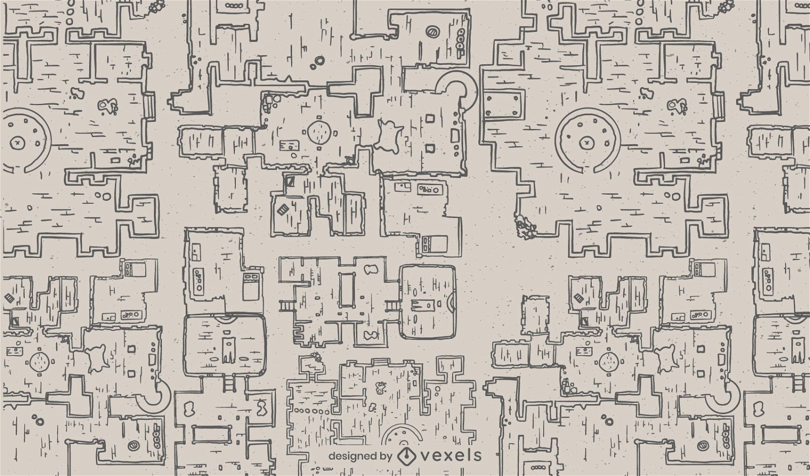
Fantasy dungeon architecture map pattern
Choose a folder
All favorites
Create new
Save
Fantasy dungeon architecture map pattern
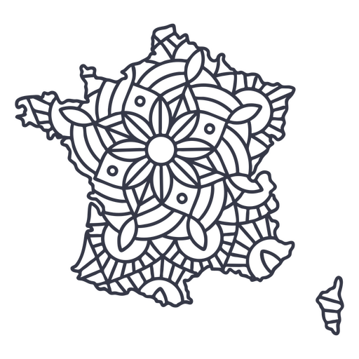
France map silhouette mandala stroke PNG Design
Choose a folder
All favorites
Create new
Save
France map silhouette mandala stroke PNG Design
Shelf with books flat PNG Design
Choose a folder
All favorites
Create new
Save
Shelf with books flat PNG Design
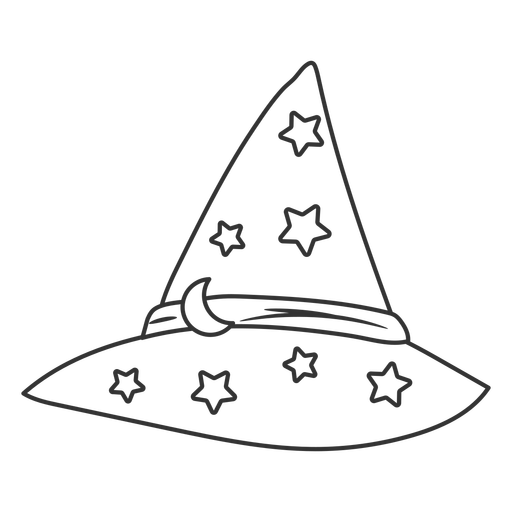
Wizard hat with stars stroke PNG Design
Choose a folder
All favorites
Create new
Save
Wizard hat with stars stroke PNG Design
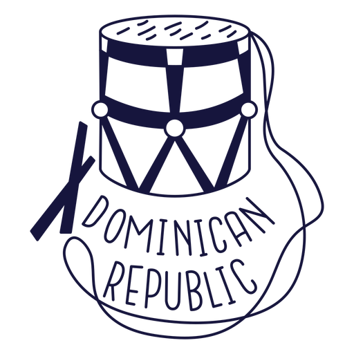
Dominican tambora monochrome doodle PNG Design
Choose a folder
All favorites
Create new
Save
Dominican tambora monochrome doodle PNG Design
Premium
Planet earth gesture flat PNG Design
Choose a folder
All favorites
Create new
Save
Planet earth gesture flat PNG Design
Premium
Tuvalu national flag PNG Design
Choose a folder
All favorites
Create new
Save
Tuvalu national flag PNG Design
United Kingdom pixelated flag
Choose a folder
All favorites
Create new
Save
United Kingdom pixelated flag
Terere paraguay stroke PNG Design
Choose a folder
All favorites
Create new
Save
Terere paraguay stroke PNG Design
Premium
Money sack icon PNG Design
Choose a folder
All favorites
Create new
Save
Money sack icon PNG Design
Premium
Planet earth globe america flat PNG Design
Choose a folder
All favorites
Create new
Save
Planet earth globe america flat PNG Design
Colorful Brazil map
Choose a folder
All favorites
Create new
Save
Colorful Brazil map
Premium
Guerrero state map PNG Design
Choose a folder
All favorites
Create new
Save
Guerrero state map PNG Design
Premium
Nuevo leon state map PNG Design
Choose a folder
All favorites
Create new
Save
Nuevo leon state map PNG Design
Earth Day Labels
Choose a folder
All favorites
Create new
Save
Earth Day Labels
Premium
Cursive text lucky to have you PNG Design
Choose a folder
All favorites
Create new
Save
Cursive text lucky to have you PNG Design
Nebraska state stroke map PNG Design
Choose a folder
All favorites
Create new
Save
Nebraska state stroke map PNG Design
Zodiac badge planet pisces stroke PNG Design
Choose a folder
All favorites
Create new
Save
Zodiac badge planet pisces stroke PNG Design
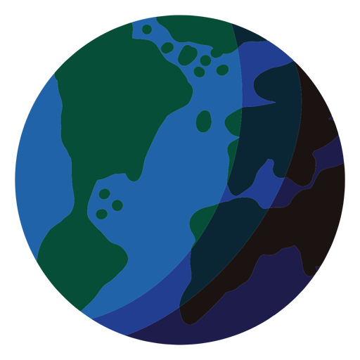
Earth planet illustration earth PNG Design
Choose a folder
All favorites
Create new
Save
Earth planet illustration earth PNG Design
Premium
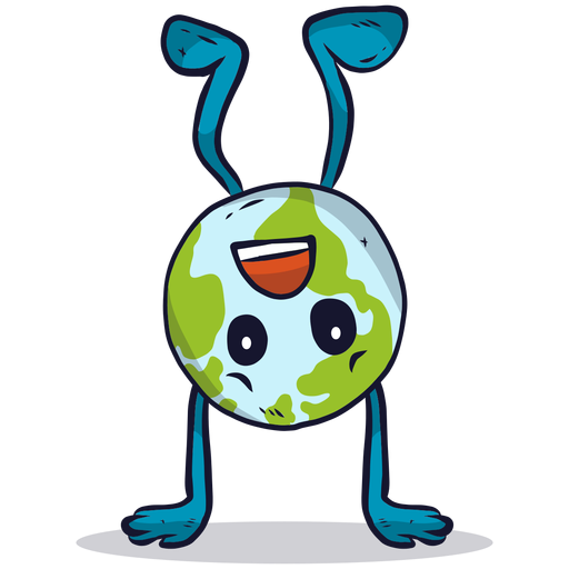
Upside down earth globe illustration PNG Design
Choose a folder
All favorites
Create new
Save
Upside down earth globe illustration PNG Design
Premium
Jalisko state map PNG Design
Choose a folder
All favorites
Create new
Save
Jalisko state map PNG Design
Premium
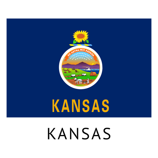
Kansas state flag PNG Design
Choose a folder
All favorites
Create new
Save
Kansas state flag PNG Design
Premium
Digestive system human body PNG Design
Choose a folder
All favorites
Create new
Save
Digestive system human body PNG Design
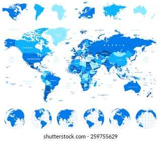
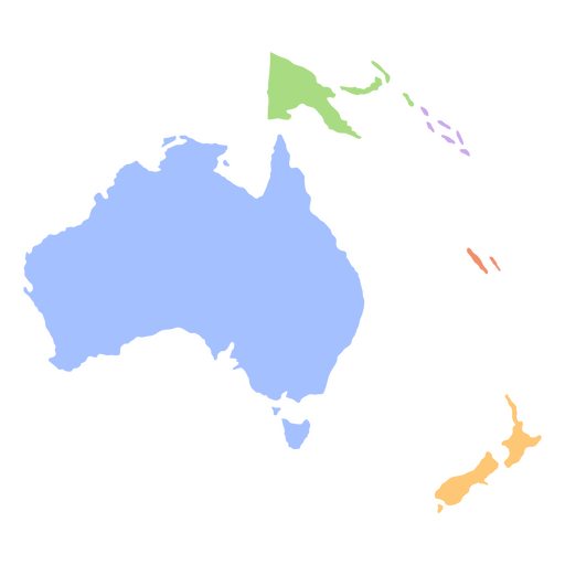
Oceania flat continents map PNG Design
Choose a folder
All favorites
Create new
Save
Oceania flat continents map PNG Design
Boost Your Business
With The Leading Graphic Platform For Merch.
SEE PLANS
Next
of 104
prev page
next page