Design Library
Explore Designs
New Merch Designs
Trending Merch Designs
Vectors
PNGs & SVGs
Mockups
T-Shirts
T-Shirt PSD Templates
KDP Designs
Phone Cases
Pillows
Tote Bags
Posters
Mugs
Design Tools
Designer
New!
T-shirt Maker
Mockup Generator
Quote Generator
Logo Maker
Resources
Merch Digest
Blog
Help Center
Creators Program
Learn About Merch
Changelog
Pricing
Loading...
Sign Up
Login
All
maps
Design Library
Explore Designs
New Merch Designs
Trending Merch Designs
Vectors
PNGs & SVGs
Mockups
T-Shirts
T-Shirt PSD Templates
KDP Designs
Phone Cases
Pillows
Tote Bags
Posters
Mugs
Design Tools
Designer
New!
T-shirt Maker
Mockup Generator
Quote Generator
Logo Maker
Resources
Merch Digest
Blog
Help Center
Creators Program
Learn About Merch
Changelog
PLANS
All
maps
5201 maps designs graphics for t-shirt and print on demand merch
Download maps t-shirt designs and other merch graphics like book covers, phone cases, tote bags and more.
Related:
base maps
,
world livestock maps
,
old maps
Sort by
Most relevant
Sponsored results by
Get 15% off with code: VEXELS15
Show more
Zodiac badge planet pisces stroke PNG Design
Choose a folder
All favorites
Create new
Save
Zodiac badge planet pisces stroke PNG Design
Neptune planet illustration PNG Design
Choose a folder
All favorites
Create new
Save
Neptune planet illustration PNG Design
Pink letter Y mandala PNG Design
Choose a folder
All favorites
Create new
Save
Pink letter Y mandala PNG Design
Shelf with books flat PNG Design
Choose a folder
All favorites
Create new
Save
Shelf with books flat PNG Design
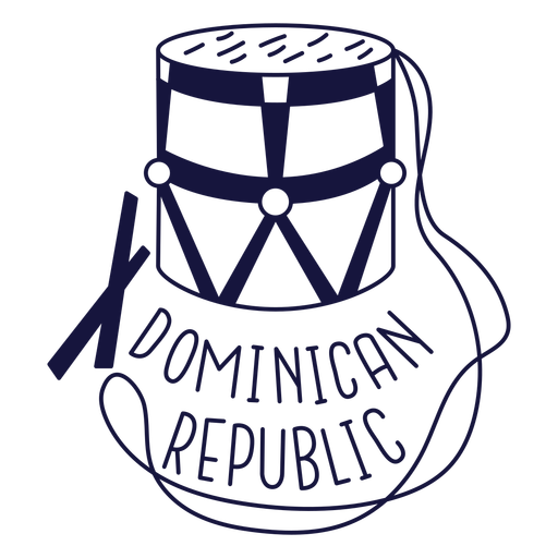
Dominican tambora monochrome doodle PNG Design
Choose a folder
All favorites
Create new
Save
Dominican tambora monochrome doodle PNG Design
Terere paraguay stroke PNG Design
Choose a folder
All favorites
Create new
Save
Terere paraguay stroke PNG Design
Premium
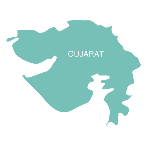
Gujarat state map PNG Design
Choose a folder
All favorites
Create new
Save
Gujarat state map PNG Design
Premium
Paraiba state map PNG Design
Choose a folder
All favorites
Create new
Save
Paraiba state map PNG Design
Premium
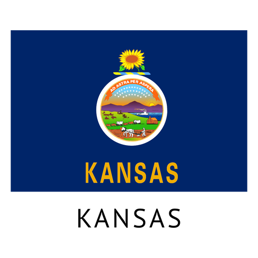
Kansas state flag PNG Design
Choose a folder
All favorites
Create new
Save
Kansas state flag PNG Design
Premium
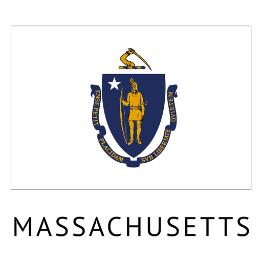
Massachusetts state flag PNG Design
Choose a folder
All favorites
Create new
Save
Massachusetts state flag PNG Design
Premium
Globe bulb icon 3 PNG Design
Choose a folder
All favorites
Create new
Save
Globe bulb icon 3 PNG Design
Premium
Tuvalu national flag PNG Design
Choose a folder
All favorites
Create new
Save
Tuvalu national flag PNG Design
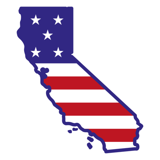
California color stroke states PNG Design
Choose a folder
All favorites
Create new
Save
California color stroke states PNG Design
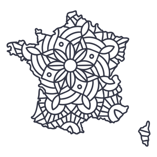
France map silhouette mandala stroke PNG Design
Choose a folder
All favorites
Create new
Save
France map silhouette mandala stroke PNG Design
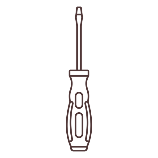
Flat head screwdriver stroke PNG Design
Choose a folder
All favorites
Create new
Save
Flat head screwdriver stroke PNG Design
Premium
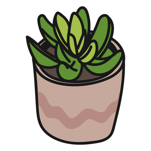
Plants succulents green tranquil illustration PNG Design
Choose a folder
All favorites
Create new
Save
Plants succulents green tranquil illustration PNG Design
Premium
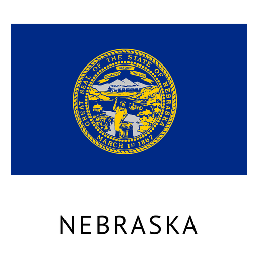
Nebraska state flag PNG Design
Choose a folder
All favorites
Create new
Save
Nebraska state flag PNG Design
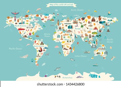
Travel the world
Choose a folder
All favorites
Create new
Save
Travel the world
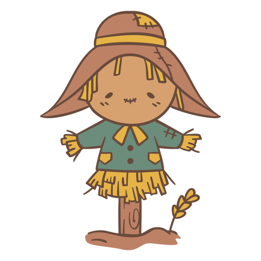
Scarecrow cute PNG Design
Choose a folder
All favorites
Create new
Save
Scarecrow cute PNG Design
Bible closed stroke PNG Design
Choose a folder
All favorites
Create new
Save
Bible closed stroke PNG Design
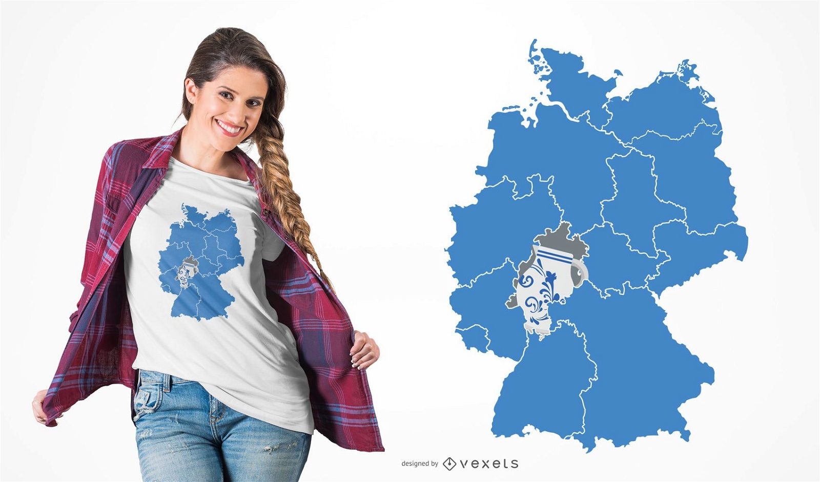
German Content
Print ready
for Merch
Hessen Pottery T-shirt Design
Choose a folder
All favorites
Create new
Save
Hessen Pottery T-shirt Design
Zodiac badge planet taurus stroke PNG Design
Choose a folder
All favorites
Create new
Save
Zodiac badge planet taurus stroke PNG Design
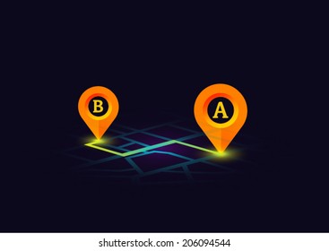
Location icon isometric PNG Design
Choose a folder
All favorites
Create new
Save
Location icon isometric PNG Design
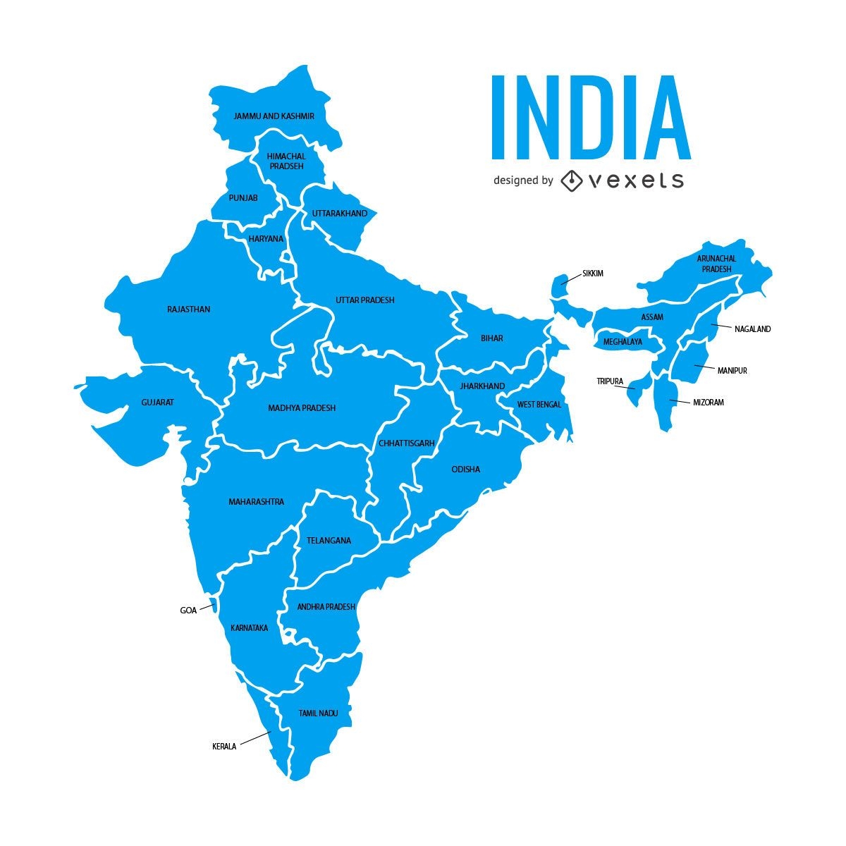
India states map
Choose a folder
All favorites
Create new
Save
India states map
Premium
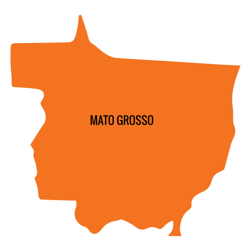
Mato grosso state map PNG Design
Choose a folder
All favorites
Create new
Save
Mato grosso state map PNG Design
Premium
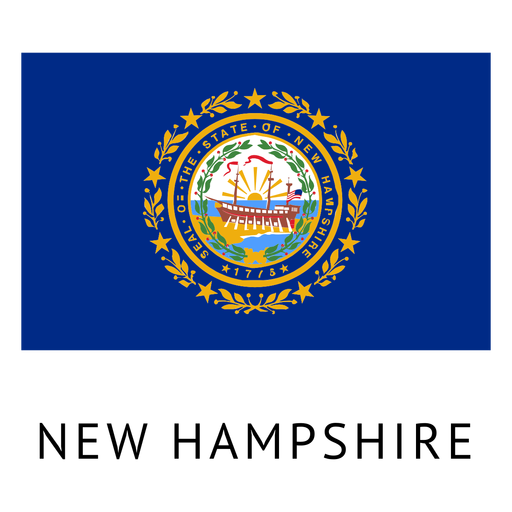
New hampshire state flag PNG Design
Choose a folder
All favorites
Create new
Save
New hampshire state flag PNG Design
Premium
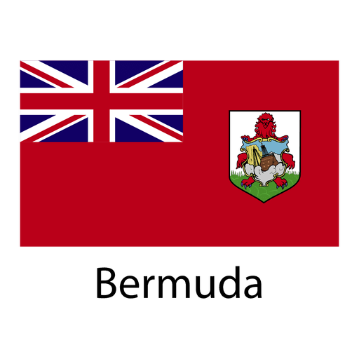
Bermuda national flag PNG Design
Choose a folder
All favorites
Create new
Save
Bermuda national flag PNG Design
Pink number four mandala stroke PNG Design
Choose a folder
All favorites
Create new
Save
Pink number four mandala stroke PNG Design
Hanging towel stroke PNG Design
Choose a folder
All favorites
Create new
Save
Hanging towel stroke PNG Design
Venus planet illustration PNG Design
Choose a folder
All favorites
Create new
Save
Venus planet illustration PNG Design
Premium
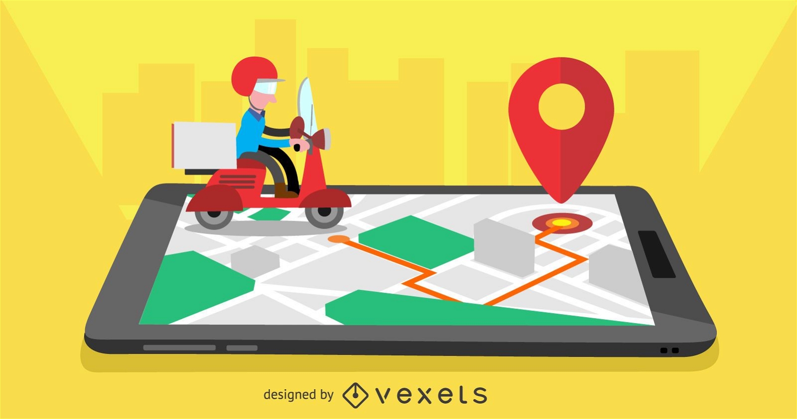
Delivery mobile app design
Choose a folder
All favorites
Create new
Save
Delivery mobile app design
Premium
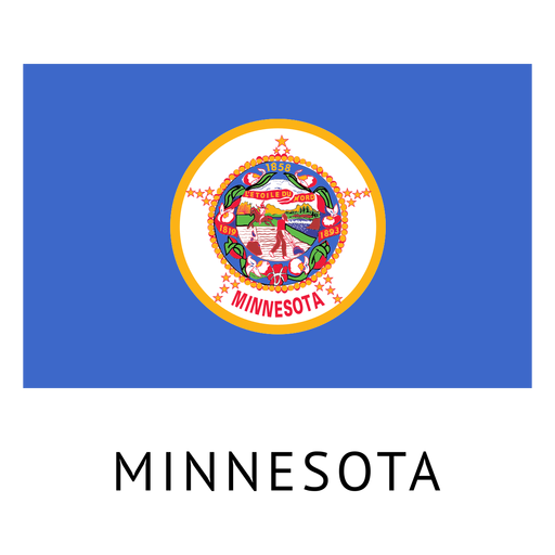
Minnesota state flag PNG Design
Choose a folder
All favorites
Create new
Save
Minnesota state flag PNG Design
Premium
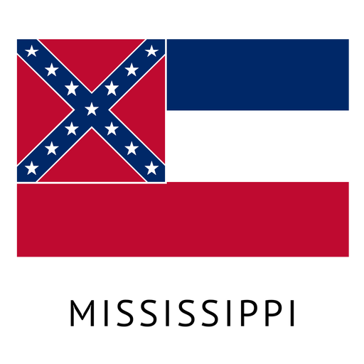
Mississippi state flag PNG Design
Choose a folder
All favorites
Create new
Save
Mississippi state flag PNG Design
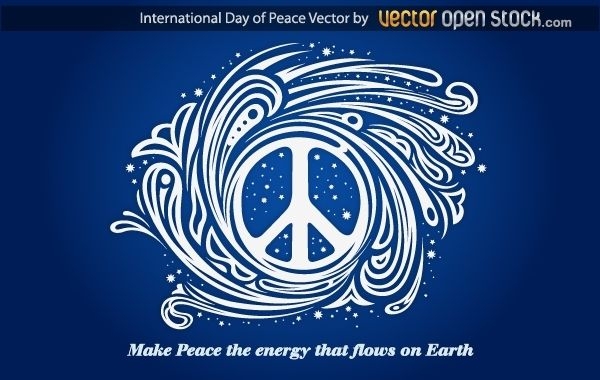
International day of peace
Choose a folder
All favorites
Create new
Save
International day of peace
Premium
Cursive text lucky to have you PNG Design
Choose a folder
All favorites
Create new
Save
Cursive text lucky to have you PNG Design
Brains color stroke PNG Design
Choose a folder
All favorites
Create new
Save
Brains color stroke PNG Design
Tool pick cut out PNG Design
Choose a folder
All favorites
Create new
Save
Tool pick cut out PNG Design
Head shaped plant pot PNG Design
Choose a folder
All favorites
Create new
Save
Head shaped plant pot PNG Design
Premium
Planet earth illustration PNG Design
Choose a folder
All favorites
Create new
Save
Planet earth illustration PNG Design
Premium
Maranhao state map PNG Design
Choose a folder
All favorites
Create new
Save
Maranhao state map PNG Design
Premium
Earth round icon PNG Design
Choose a folder
All favorites
Create new
Save
Earth round icon PNG Design
Premium
Ecuador flag badge PNG Design
Choose a folder
All favorites
Create new
Save
Ecuador flag badge PNG Design
Empty glass jar color stroke PNG Design
Choose a folder
All favorites
Create new
Save
Empty glass jar color stroke PNG Design
Premium
Earth doodle icon PNG Design
Choose a folder
All favorites
Create new
Save
Earth doodle icon PNG Design
Premium
Rio grande do sul state map PNG Design
Choose a folder
All favorites
Create new
Save
Rio grande do sul state map PNG Design
Premium
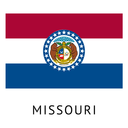
Missouri state flag PNG Design
Choose a folder
All favorites
Create new
Save
Missouri state flag PNG Design
Premium
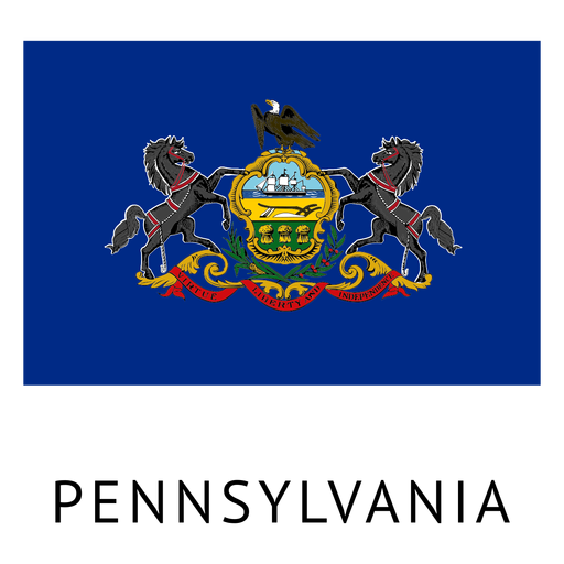
Pennsylvania state flag PNG Design
Choose a folder
All favorites
Create new
Save
Pennsylvania state flag PNG Design
Pink letter U cut out mandala design PNG Design
Choose a folder
All favorites
Create new
Save
Pink letter U cut out mandala design PNG Design
Tools semi flat PNG Design
Choose a folder
All favorites
Create new
Save
Tools semi flat PNG Design
Spyglass flat PNG Design
Choose a folder
All favorites
Create new
Save
Spyglass flat PNG Design
Boost Your Business
With The Leading Graphic Platform For Merch.
SEE PLANS
Next
of 105
prev page
next page