Design Library
Explore Designs
New Merch Designs
Trending Merch Designs
Vectors
PNGs & SVGs
Mockups
T-Shirts
T-Shirt PSD Templates
KDP Designs
Phone Cases
Pillows
Tote Bags
Posters
Mugs
Design Tools
Designer
New!
T-shirt Maker
Mockup Generator
Quote Generator
Logo Maker
Resources
Merch Digest
Blog
Help Center
Creators Program
Learn About Merch
Changelog
Pricing
Loading...
Sign Up
Login
All
maps
Design Library
Explore Designs
New Merch Designs
Trending Merch Designs
Vectors
PNGs & SVGs
Mockups
T-Shirts
T-Shirt PSD Templates
KDP Designs
Phone Cases
Pillows
Tote Bags
Posters
Mugs
Design Tools
Designer
New!
T-shirt Maker
Mockup Generator
Quote Generator
Logo Maker
Resources
Merch Digest
Blog
Help Center
Creators Program
Learn About Merch
Changelog
PLANS
All
maps
5201 maps designs graphics for t-shirt and print on demand merch
Download maps t-shirt designs and other merch graphics like book covers, phone cases, tote bags and more.
Related:
base maps
,
world livestock maps
,
old maps
Sort by
Most relevant
Sponsored results by
Get 15% off with code: VEXELS15
Show more
Template Business Background with Globe and Lines
Choose a folder
All favorites
Create new
Save
Template Business Background with Globe and Lines
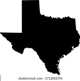
Texas duotone states PNG Design
Choose a folder
All favorites
Create new
Save
Texas duotone states PNG Design
Alaska geometric states PNG Design
Choose a folder
All favorites
Create new
Save
Alaska geometric states PNG Design
Australia map silhouette mandala cut out PNG Design
Choose a folder
All favorites
Create new
Save
Australia map silhouette mandala cut out PNG Design
Pink letter W mandala PNG Design
Choose a folder
All favorites
Create new
Save
Pink letter W mandala PNG Design
Sacuanjoche flower nicaragua composition PNG Design
Choose a folder
All favorites
Create new
Save
Sacuanjoche flower nicaragua composition PNG Design
Zodiac badge planet cancer stroke PNG Design
Choose a folder
All favorites
Create new
Save
Zodiac badge planet cancer stroke PNG Design
Premium
Planet saturn orbit celestial body stroke PNG Design
Choose a folder
All favorites
Create new
Save
Planet saturn orbit celestial body stroke PNG Design
Premium
Planet saturn icon PNG Design
Choose a folder
All favorites
Create new
Save
Planet saturn icon PNG Design
Premium
Belarus national flag PNG Design
Choose a folder
All favorites
Create new
Save
Belarus national flag PNG Design
Premium
Daring my way to christmas PNG Design
Choose a folder
All favorites
Create new
Save
Daring my way to christmas PNG Design
Premium
Cartoon dinosaur standing PNG Design
Choose a folder
All favorites
Create new
Save
Cartoon dinosaur standing PNG Design
Premium
The state of south carolina in a rainbow color PNG Design
Choose a folder
All favorites
Create new
Save
The state of south carolina in a rainbow color PNG Design
Tennessee map polygonal PNG Design
Choose a folder
All favorites
Create new
Save
Tennessee map polygonal PNG Design
Switzerland map silhouette mandala stroke PNG Design
Choose a folder
All favorites
Create new
Save
Switzerland map silhouette mandala stroke PNG Design
USA american flag map PNG Design
Choose a folder
All favorites
Create new
Save
USA american flag map PNG Design
Pink letter S mandala stroke PNG Design
Choose a folder
All favorites
Create new
Save
Pink letter S mandala stroke PNG Design
Garden hand shovel cut out PNG Design
Choose a folder
All favorites
Create new
Save
Garden hand shovel cut out PNG Design
Magic keys textured PNG Design
Choose a folder
All favorites
Create new
Save
Magic keys textured PNG Design
Ladle silhouette PNG Design
Choose a folder
All favorites
Create new
Save
Ladle silhouette PNG Design
Semi flat glue bottle PNG Design
Choose a folder
All favorites
Create new
Save
Semi flat glue bottle PNG Design
Cute scarecrow stroke PNG Design
Choose a folder
All favorites
Create new
Save
Cute scarecrow stroke PNG Design
Buoy with flag cut out PNG Design
Choose a folder
All favorites
Create new
Save
Buoy with flag cut out PNG Design
Landmark el salvador dark design PNG Design
Choose a folder
All favorites
Create new
Save
Landmark el salvador dark design PNG Design
Premium
Guitar country music hand drawn symbol black PNG Design
Choose a folder
All favorites
Create new
Save
Guitar country music hand drawn symbol black PNG Design
Premium
China flag language icon PNG Design
Choose a folder
All favorites
Create new
Save
China flag language icon PNG Design
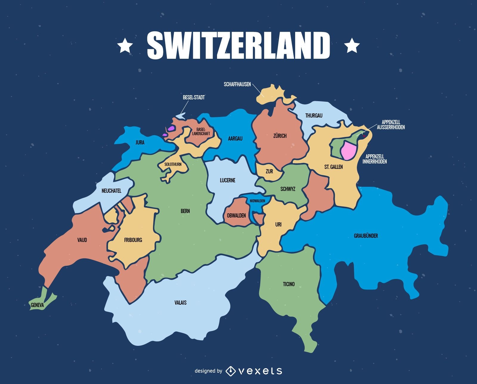
Switzerland cantons map
Choose a folder
All favorites
Create new
Save
Switzerland cantons map
Premium
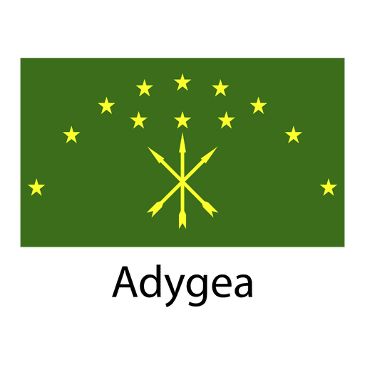
Adygea national flag PNG Design
Choose a folder
All favorites
Create new
Save
Adygea national flag PNG Design
Premium
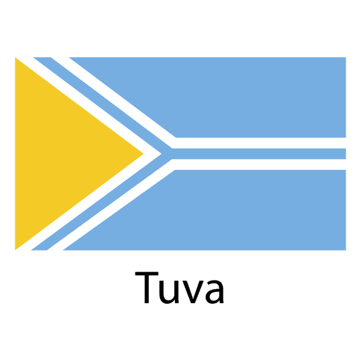
Tuva national flag PNG Design
Choose a folder
All favorites
Create new
Save
Tuva national flag PNG Design
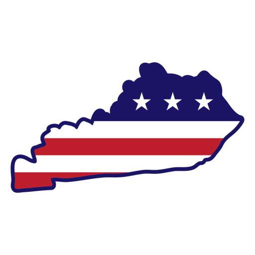
Kentucky map color stroke PNG Design
Choose a folder
All favorites
Create new
Save
Kentucky map color stroke PNG Design
Hand shovel silhouette PNG Design
Choose a folder
All favorites
Create new
Save
Hand shovel silhouette PNG Design
Pile of two books color stroke PNG Design
Choose a folder
All favorites
Create new
Save
Pile of two books color stroke PNG Design
Ship anchor ribbon PNG Design
Choose a folder
All favorites
Create new
Save
Ship anchor ribbon PNG Design
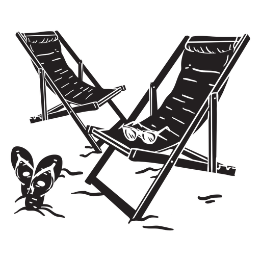
Beach chairs cut out PNG Design
Choose a folder
All favorites
Create new
Save
Beach chairs cut out PNG Design
Premium
Alderney national flag PNG Design
Choose a folder
All favorites
Create new
Save
Alderney national flag PNG Design
Premium
Sudan national flag PNG Design
Choose a folder
All favorites
Create new
Save
Sudan national flag PNG Design
Pink letter L mandala stroke PNG Design
Choose a folder
All favorites
Create new
Save
Pink letter L mandala stroke PNG Design
Tarot card queen of cups cut out PNG Design
Choose a folder
All favorites
Create new
Save
Tarot card queen of cups cut out PNG Design
Vintage television cut out PNG Design
Choose a folder
All favorites
Create new
Save
Vintage television cut out PNG Design
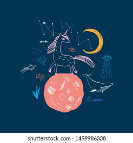
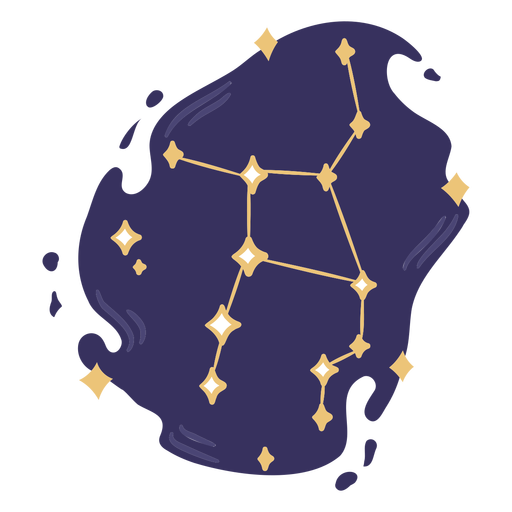
Constellation color doodle PNG Design
Choose a folder
All favorites
Create new
Save
Constellation color doodle PNG Design
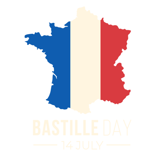
Bastille day French flag map PNG Design
Choose a folder
All favorites
Create new
Save
Bastille day French flag map PNG Design
Earthworm color stroke simple PNG Design
Choose a folder
All favorites
Create new
Save
Earthworm color stroke simple PNG Design
Cute norwegian woman character PNG Design
Choose a folder
All favorites
Create new
Save
Cute norwegian woman character PNG Design
Growing seed icon PNG Design
Choose a folder
All favorites
Create new
Save
Growing seed icon PNG Design
Premium
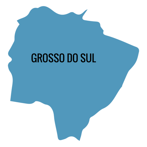
Mato grosso do sul state map PNG Design
Choose a folder
All favorites
Create new
Save
Mato grosso do sul state map PNG Design
Premium
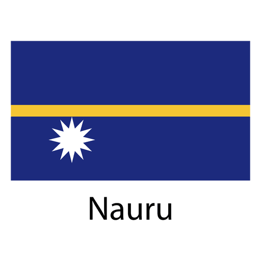
Nauru national flag PNG Design
Choose a folder
All favorites
Create new
Save
Nauru national flag PNG Design
Contact Icons Set
Choose a folder
All favorites
Create new
Save
Contact Icons Set
Hawaii color stroke states PNG Design
Choose a folder
All favorites
Create new
Save
Hawaii color stroke states PNG Design
Bull skull silhouette PNG Design
Choose a folder
All favorites
Create new
Save
Bull skull silhouette PNG Design
Red book color stroke PNG Design
Choose a folder
All favorites
Create new
Save
Red book color stroke PNG Design
Boost Your Business
With The Leading Graphic Platform For Merch.
SEE PLANS
Next
of 105
prev page
next page