Design Library
Explore Designs
New Merch Designs
Trending Merch Designs
Vectors
PNGs & SVGs
Mockups
T-Shirts
T-Shirt PSD Templates
KDP Designs
Phone Cases
Pillows
Tote Bags
Posters
Mugs
Design Tools
Designer
New!
T-shirt Maker
Mockup Generator
Quote Generator
Logo Maker
Resources
Merch Digest
Blog
Help Center
Creators Program
Learn About Merch
Changelog
Pricing
Loading...
Sign Up
Login
All
maps
Design Library
Explore Designs
New Merch Designs
Trending Merch Designs
Vectors
PNGs & SVGs
Mockups
T-Shirts
T-Shirt PSD Templates
KDP Designs
Phone Cases
Pillows
Tote Bags
Posters
Mugs
Design Tools
Designer
New!
T-shirt Maker
Mockup Generator
Quote Generator
Logo Maker
Resources
Merch Digest
Blog
Help Center
Creators Program
Learn About Merch
Changelog
PLANS
All
maps
5201 maps designs graphics for t-shirt and print on demand merch
Download maps t-shirt designs and other merch graphics like book covers, phone cases, tote bags and more.
Related:
base maps
,
world livestock maps
,
old maps
Sort by
Most relevant
Sponsored results by
Get 15% off with code: VEXELS15
Show more
Eating utensils flat PNG Design
Choose a folder
All favorites
Create new
Save
Eating utensils flat PNG Design
Pink seashell hand drawn PNG Design
Choose a folder
All favorites
Create new
Save
Pink seashell hand drawn PNG Design
Planet neptune illustration PNG Design
Choose a folder
All favorites
Create new
Save
Planet neptune illustration PNG Design
Space artificial satellite illustration PNG Design
Choose a folder
All favorites
Create new
Save
Space artificial satellite illustration PNG Design
Zodiac badge planet scorpio stroke PNG Design
Choose a folder
All favorites
Create new
Save
Zodiac badge planet scorpio stroke PNG Design
Premium
Portugal flag language icon circle PNG Design
Choose a folder
All favorites
Create new
Save
Portugal flag language icon circle PNG Design
Premium
West virginia state flag PNG Design
Choose a folder
All favorites
Create new
Save
West virginia state flag PNG Design
Premium
Hand drawn recycling arrow PNG Design
Choose a folder
All favorites
Create new
Save
Hand drawn recycling arrow PNG Design
Premium
Dunk tomahawk Jump PNG Design
Choose a folder
All favorites
Create new
Save
Dunk tomahawk Jump PNG Design
Premium
Earth day plantation label PNG Design
Choose a folder
All favorites
Create new
Save
Earth day plantation label PNG Design
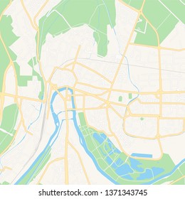
Colored marker logistic map PNG Design
Choose a folder
All favorites
Create new
Save
Colored marker logistic map PNG Design
Premium
Brown book with the word recipe on it PNG Design
Choose a folder
All favorites
Create new
Save
Brown book with the word recipe on it PNG Design
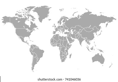
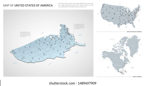
North america flat continents map PNG Design
Choose a folder
All favorites
Create new
Save
North america flat continents map PNG Design
Pink number seven mandala stroke PNG Design
Choose a folder
All favorites
Create new
Save
Pink number seven mandala stroke PNG Design
Adjustable metal wrench stroke PNG Design
Choose a folder
All favorites
Create new
Save
Adjustable metal wrench stroke PNG Design
Alarm hand drawn PNG Design
Choose a folder
All favorites
Create new
Save
Alarm hand drawn PNG Design
Papers with clip semi flat PNG Design
Choose a folder
All favorites
Create new
Save
Papers with clip semi flat PNG Design
Print ready
for Merch
Scotland map t-shirt design
Choose a folder
All favorites
Create new
Save
Scotland map t-shirt design
Baleada honduras illustration PNG Design
Choose a folder
All favorites
Create new
Save
Baleada honduras illustration PNG Design
Print ready
for Merch
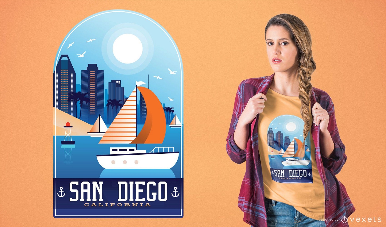
San Diego T-Shirt Design
Choose a folder
All favorites
Create new
Save
San Diego T-Shirt Design
Premium
Rio grande do norte state map PNG Design
Choose a folder
All favorites
Create new
Save
Rio grande do norte state map PNG Design
Premium
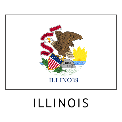
Illinois state flag PNG Design
Choose a folder
All favorites
Create new
Save
Illinois state flag PNG Design
Premium
Bonsai tree green PNG Design
Choose a folder
All favorites
Create new
Save
Bonsai tree green PNG Design
Premium
World map with continent pointer PNG Design
Choose a folder
All favorites
Create new
Save
World map with continent pointer PNG Design
Premium
Red star sparkle for christmas PNG Design
Choose a folder
All favorites
Create new
Save
Red star sparkle for christmas PNG Design
Wyoming state stroke map PNG Design
Choose a folder
All favorites
Create new
Save
Wyoming state stroke map PNG Design
Drill bit phillips screwdriver cut out PNG Design
Choose a folder
All favorites
Create new
Save
Drill bit phillips screwdriver cut out PNG Design
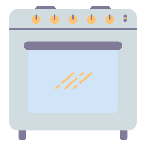
Kitchen oven cooking PNG Design
Choose a folder
All favorites
Create new
Save
Kitchen oven cooking PNG Design
Mailbox semi flat PNG Design
Choose a folder
All favorites
Create new
Save
Mailbox semi flat PNG Design
Pinolillo drink nicaragua PNG Design
Choose a folder
All favorites
Create new
Save
Pinolillo drink nicaragua PNG Design
Flag flag bearer silhouette PNG Design
Choose a folder
All favorites
Create new
Save
Flag flag bearer silhouette PNG Design
Zodiac badge planet capricorn stroke PNG Design
Choose a folder
All favorites
Create new
Save
Zodiac badge planet capricorn stroke PNG Design
Zodiac badge planet gemini stroke PNG Design
Choose a folder
All favorites
Create new
Save
Zodiac badge planet gemini stroke PNG Design
Zodiac badge planet libra stroke PNG Design
Choose a folder
All favorites
Create new
Save
Zodiac badge planet libra stroke PNG Design
I need my space badge stroke PNG Design
Choose a folder
All favorites
Create new
Save
I need my space badge stroke PNG Design
Christmas sleigh PNG Design
Choose a folder
All favorites
Create new
Save
Christmas sleigh PNG Design
Premium
Tristan da cunha national flag PNG Design
Choose a folder
All favorites
Create new
Save
Tristan da cunha national flag PNG Design
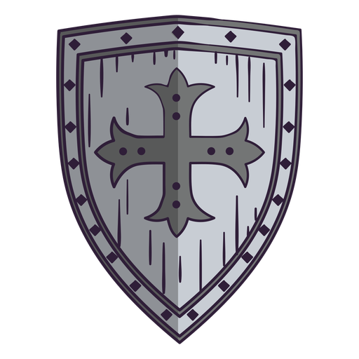
Medieval shield color stroke PNG Design
Choose a folder
All favorites
Create new
Save
Medieval shield color stroke PNG Design
Garden scissors cut out PNG Design
Choose a folder
All favorites
Create new
Save
Garden scissors cut out PNG Design
Twisted rope color cut out PNG Design
Choose a folder
All favorites
Create new
Save
Twisted rope color cut out PNG Design
Lavender flower stroke PNG Design
Choose a folder
All favorites
Create new
Save
Lavender flower stroke PNG Design
Premium
Kentucky state flag PNG Design
Choose a folder
All favorites
Create new
Save
Kentucky state flag PNG Design
Premium
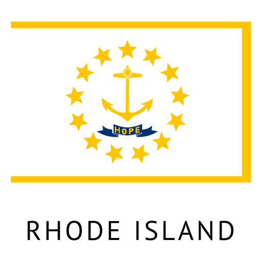
Rhode island state flag PNG Design
Choose a folder
All favorites
Create new
Save
Rhode island state flag PNG Design
Premium
Green stripes orbit icon PNG Design
Choose a folder
All favorites
Create new
Save
Green stripes orbit icon PNG Design
Premium
Blue stripes orbit icon PNG Design
Choose a folder
All favorites
Create new
Save
Blue stripes orbit icon PNG Design
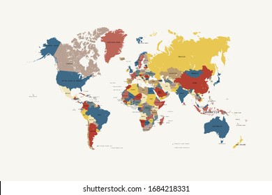
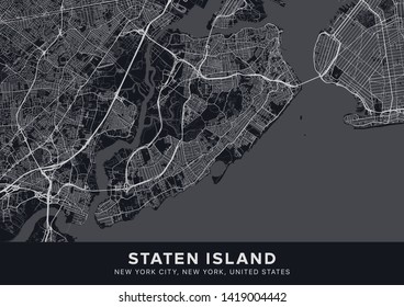
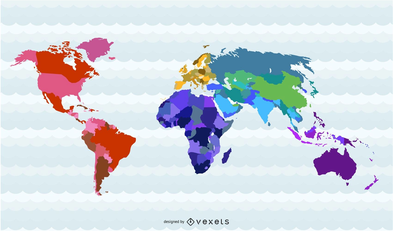
World Map Countries
Choose a folder
All favorites
Create new
Save
World Map Countries
Premium
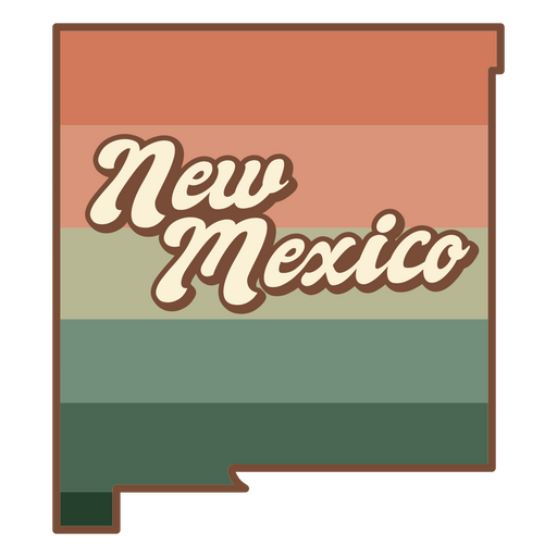
The state of new mexico in an orange and green stripe PNG Design
Choose a folder
All favorites
Create new
Save
The state of new mexico in an orange and green stripe PNG Design
Premium
What's yours will come PNG Design
Choose a folder
All favorites
Create new
Save
What's yours will come PNG Design
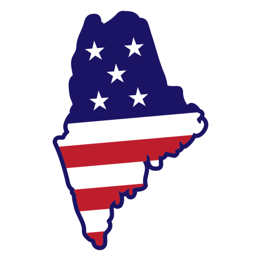
Maine map color stroke PNG Design
Choose a folder
All favorites
Create new
Save
Maine map color stroke PNG Design
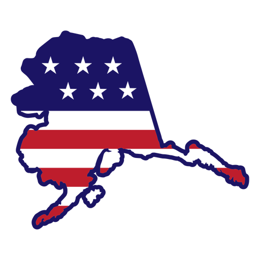
Alaska map color stroke PNG Design
Choose a folder
All favorites
Create new
Save
Alaska map color stroke PNG Design
Boost Your Business
With The Leading Graphic Platform For Merch.
SEE PLANS
Next
of 105
prev page
next page