Design Library
Explore Designs
New Merch Designs
Trending Merch Designs
Vectors
PNGs & SVGs
Mockups
T-Shirts
T-Shirt PSD Templates
KDP Designs
Phone Cases
Pillows
Tote Bags
Posters
Mugs
Design Tools
Designer
New!
T-shirt Maker
Mockup Generator
Quote Generator
Logo Maker
Resources
Merch Digest
Blog
Help Center
Creators Program
Learn About Merch
Changelog
Pricing
Loading...
Sign Up
Login
All
norte
Design Library
Explore Designs
New Merch Designs
Trending Merch Designs
Vectors
PNGs & SVGs
Mockups
T-Shirts
T-Shirt PSD Templates
KDP Designs
Phone Cases
Pillows
Tote Bags
Posters
Mugs
Design Tools
Designer
New!
T-shirt Maker
Mockup Generator
Quote Generator
Logo Maker
Resources
Merch Digest
Blog
Help Center
Creators Program
Learn About Merch
Changelog
PLANS
All
norte
551 norte designs graphics for t-shirt and print on demand merch
Download norte t-shirt designs and other merch graphics like book covers, phone cases, tote bags and more.
Sort by
Most relevant
Sponsored results by
Get 15% off with code: VEXELS15
Show more
Travel compass direction PNG Design
Choose a folder
All favorites
Create new
Save
Travel compass direction PNG Design
Premium
Colorful halloween letter n PNG Design
Choose a folder
All favorites
Create new
Save
Colorful halloween letter n PNG Design
Editable text
Print ready
for Merch
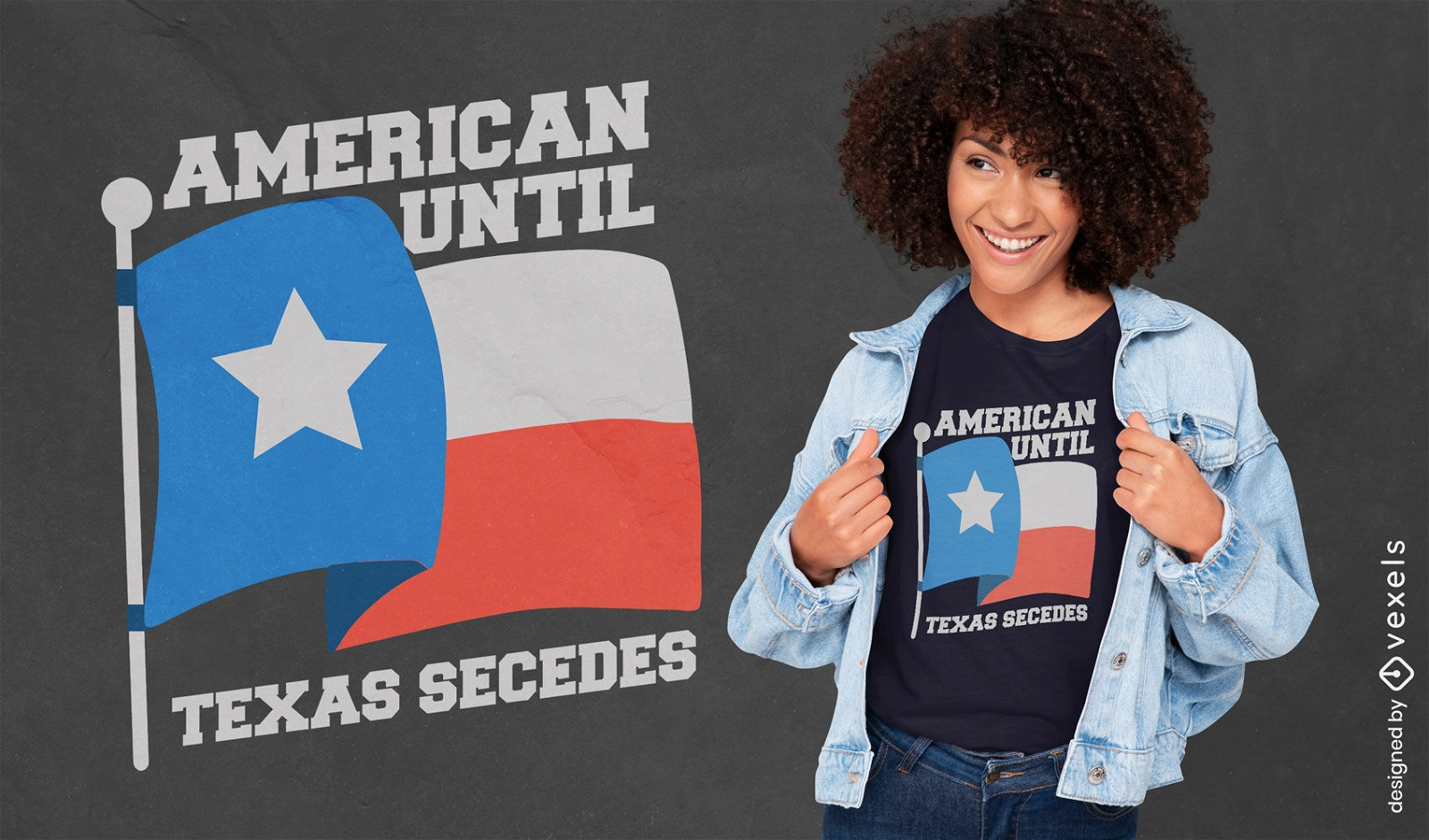
American until Texas secedes patriotic t-shirt design
Choose a folder
All favorites
Create new
Save
American until Texas secedes patriotic t-shirt design
Valentine garland papercut n PNG Design
Choose a folder
All favorites
Create new
Save
Valentine garland papercut n PNG Design
Print ready
for Merch
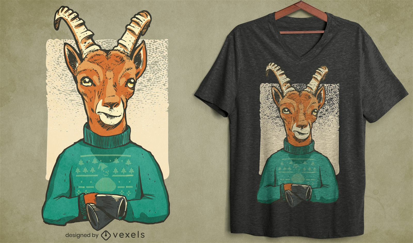
Christmas gazelle character t-shirt design
Choose a folder
All favorites
Create new
Save
Christmas gazelle character t-shirt design
Kindle Direct
Editable text
Premium
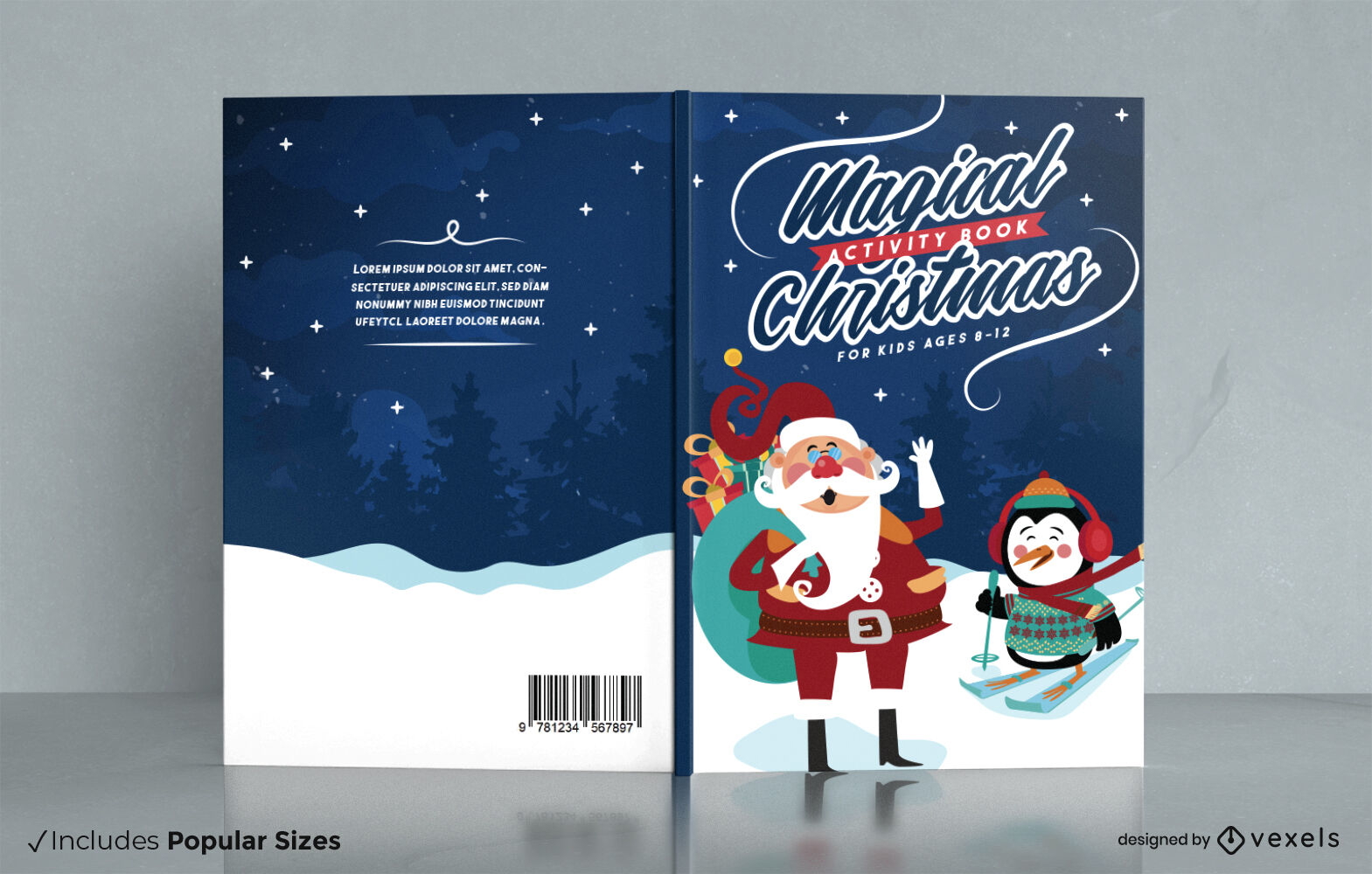
Magical Christmas activity book cover design
Choose a folder
All favorites
Create new
Save
Magical Christmas activity book cover design
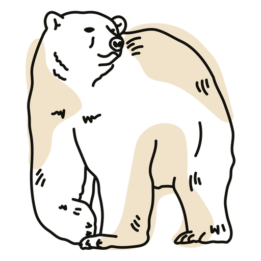
Color stroke semi colored polar bear PNG Design
Choose a folder
All favorites
Create new
Save
Color stroke semi colored polar bear PNG Design
World compass flat PNG Design
Choose a folder
All favorites
Create new
Save
World compass flat PNG Design
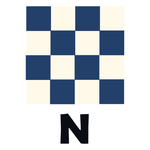
Floral split n monogram PNG Design
Choose a folder
All favorites
Create new
Save
Floral split n monogram PNG Design
Premium
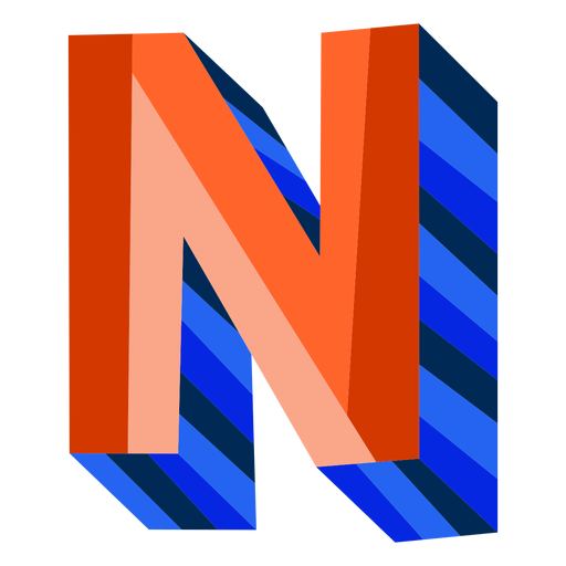
Colorful 3d letter n PNG Design
Choose a folder
All favorites
Create new
Save
Colorful 3d letter n PNG Design
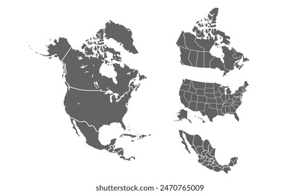
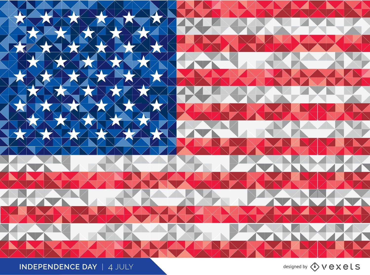
Polygonal USA flag
Choose a folder
All favorites
Create new
Save
Polygonal USA flag
Print ready
for Merch
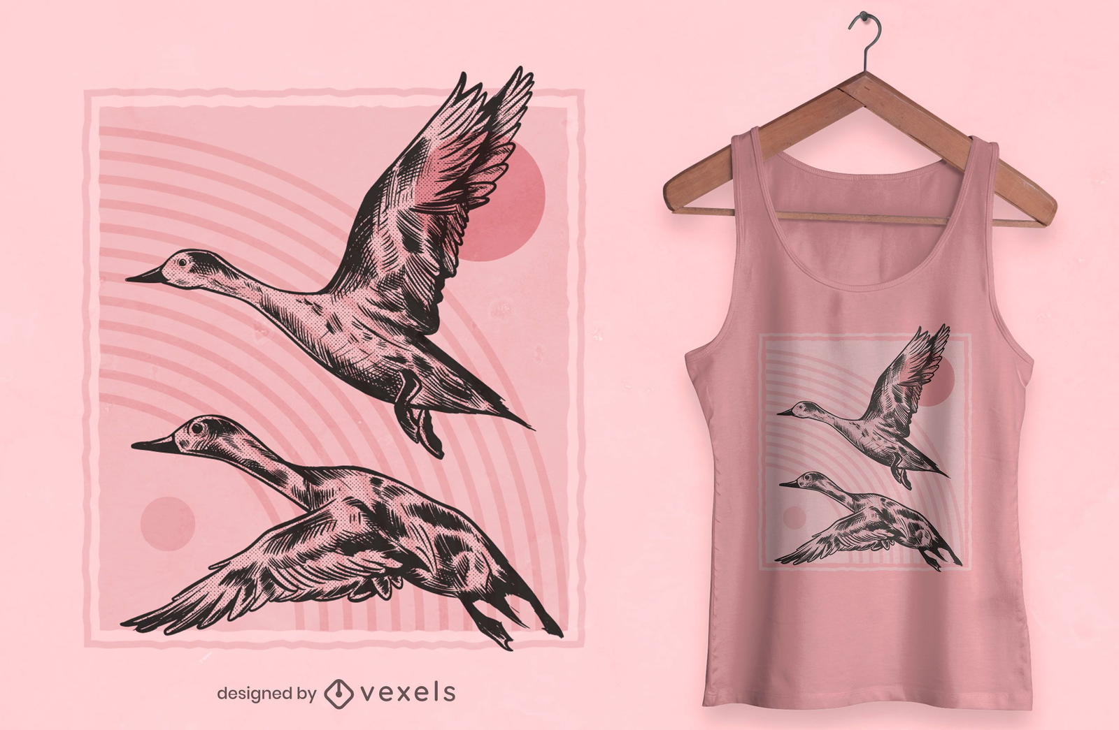
Hand drawn ducks t-shirt design
Choose a folder
All favorites
Create new
Save
Hand drawn ducks t-shirt design
Places lettering dallas PNG Design
Choose a folder
All favorites
Create new
Save
Places lettering dallas PNG Design
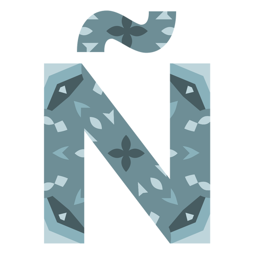
Tropical decorated capital letter n PNG Design
Choose a folder
All favorites
Create new
Save
Tropical decorated capital letter n PNG Design
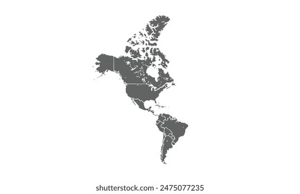
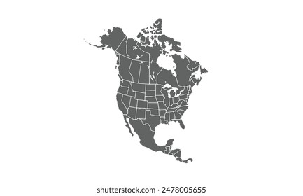
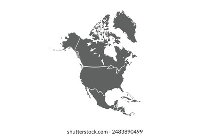
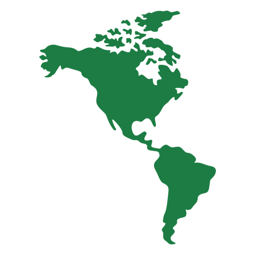
America map silhouette PNG Design
Choose a folder
All favorites
Create new
Save
America map silhouette PNG Design
Premium
Mexican Papel Picado Alphabet Letter Set
Choose a folder
All favorites
Create new
Save
Mexican Papel Picado Alphabet Letter Set
Premium
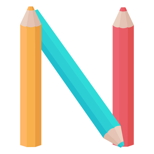
Pencils decor alphabet n PNG Design
Choose a folder
All favorites
Create new
Save
Pencils decor alphabet n PNG Design
Premium
River otter polygonal PNG Design
Choose a folder
All favorites
Create new
Save
River otter polygonal PNG Design
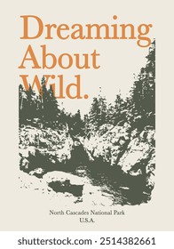
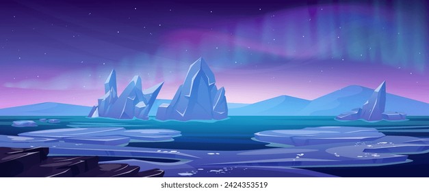
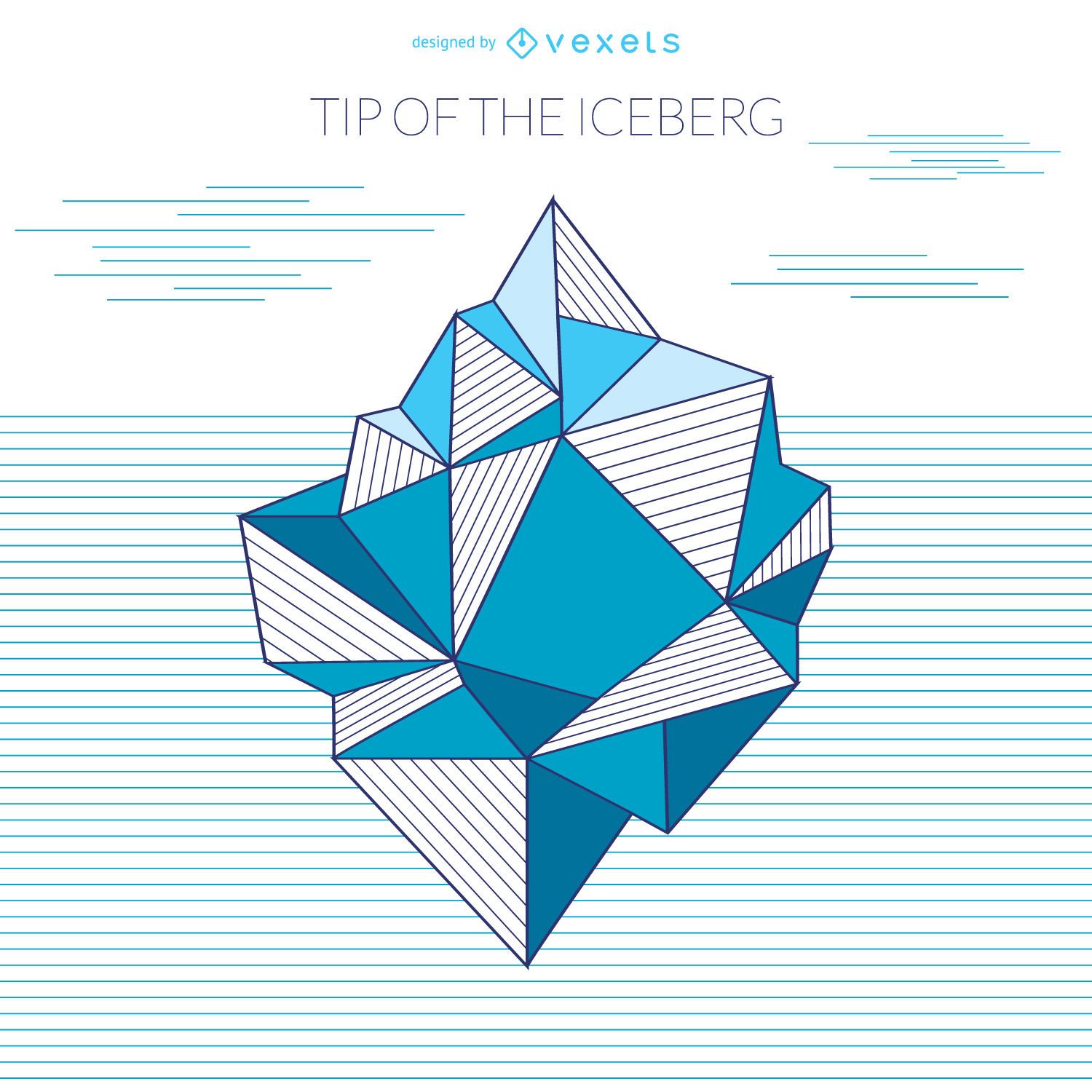
Iceberg geometric drawing
Choose a folder
All favorites
Create new
Save
Iceberg geometric drawing
Premium
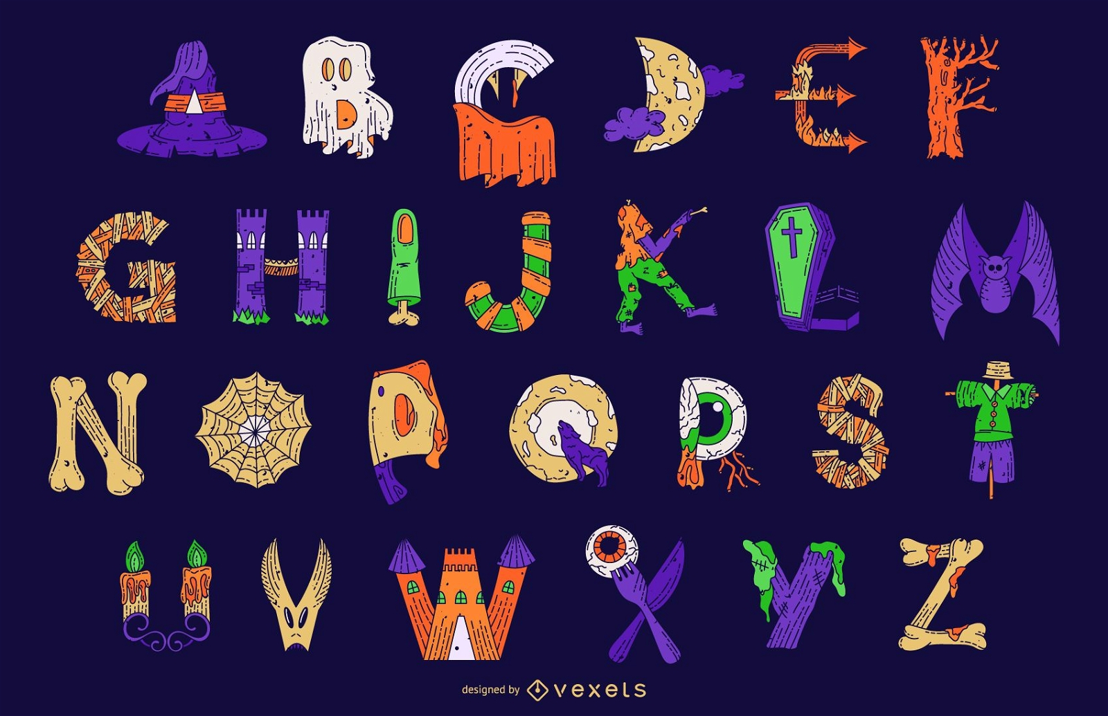
Halloween Colorful Alphabet Letter Vector Set
Choose a folder
All favorites
Create new
Save
Halloween Colorful Alphabet Letter Vector Set
Premium
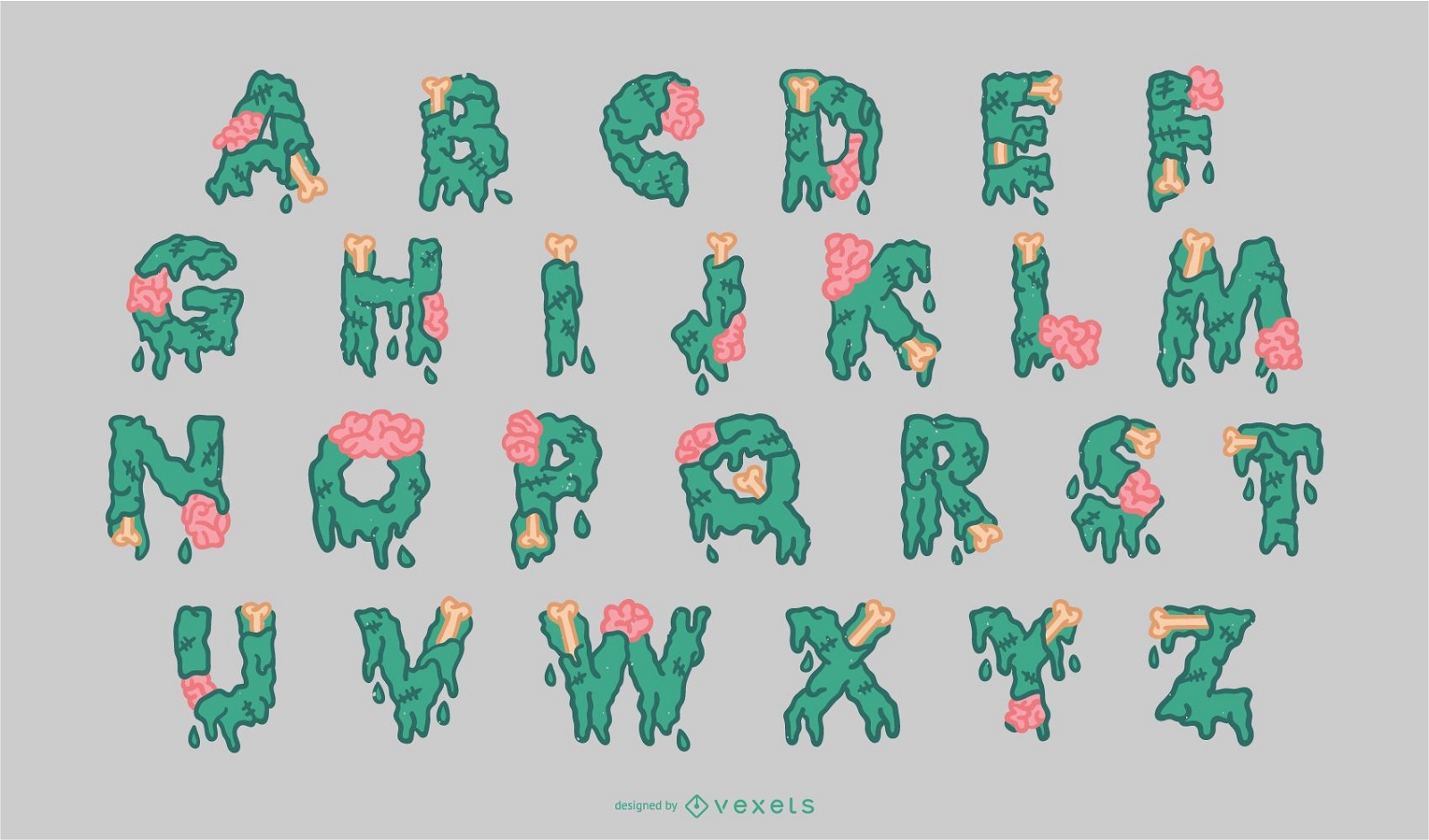
Halloween Zombie Alphabet Set
Choose a folder
All favorites
Create new
Save
Halloween Zombie Alphabet Set
Reindeer mail badge sticker PNG Design
Choose a folder
All favorites
Create new
Save
Reindeer mail badge sticker PNG Design
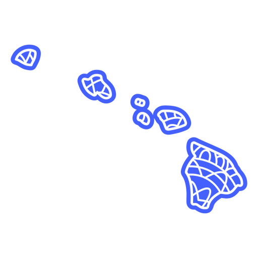
Hawaii state mandala map PNG Design
Choose a folder
All favorites
Create new
Save
Hawaii state mandala map PNG Design
Premium
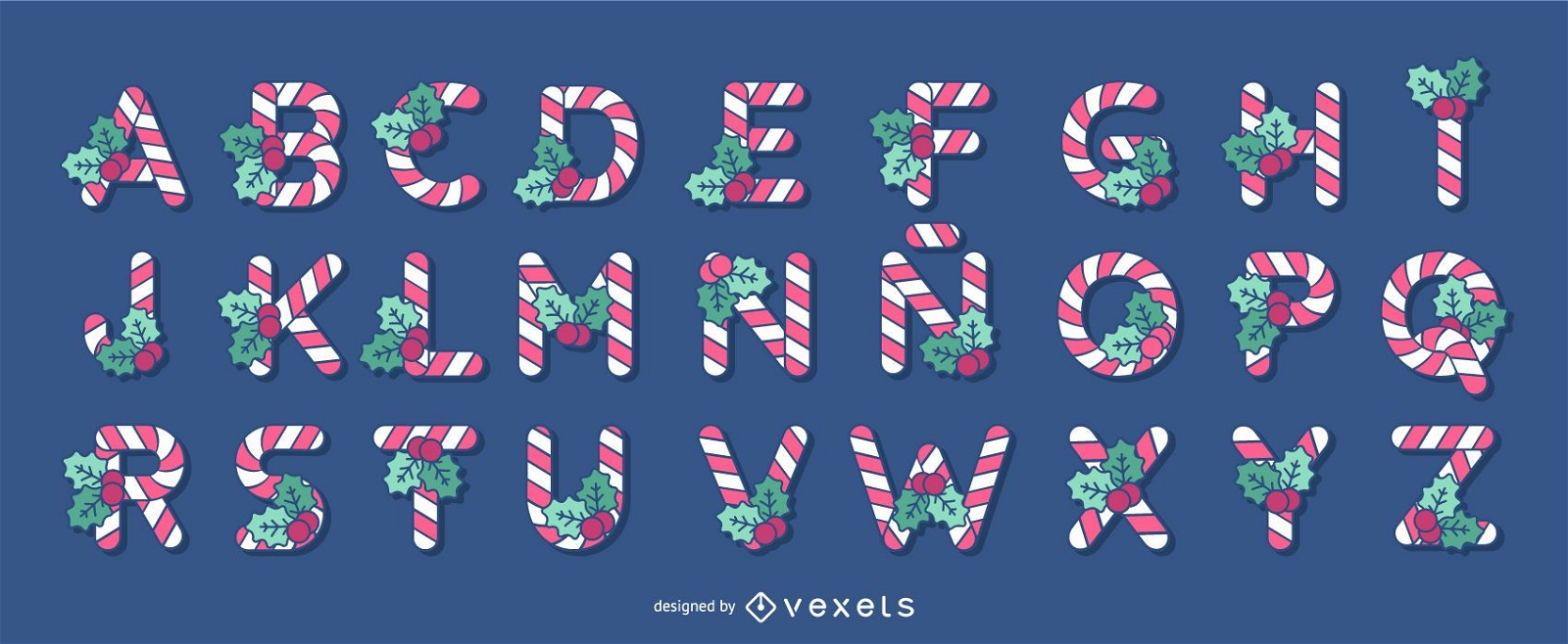
Christmas Candy Cane Alphabet Letter Set
Choose a folder
All favorites
Create new
Save
Christmas Candy Cane Alphabet Letter Set
Flat filled stroke compass PNG Design
Choose a folder
All favorites
Create new
Save
Flat filled stroke compass PNG Design
Premium
Halloween letter n stroke PNG Design
Choose a folder
All favorites
Create new
Save
Halloween letter n stroke PNG Design
Premium
Flower Alphabet Vector Set
Choose a folder
All favorites
Create new
Save
Flower Alphabet Vector Set
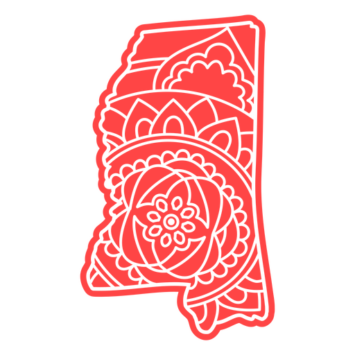
Mississippi state mandala map element PNG Design
Choose a folder
All favorites
Create new
Save
Mississippi state mandala map element PNG Design
Letter n mardi gras PNG Design
Choose a folder
All favorites
Create new
Save
Letter n mardi gras PNG Design
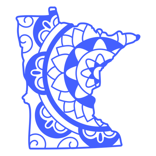
Minnesota state mandala map stroke PNG Design
Choose a folder
All favorites
Create new
Save
Minnesota state mandala map stroke PNG Design
Premium
3d dotted letter n stroke PNG Design
Choose a folder
All favorites
Create new
Save
3d dotted letter n stroke PNG Design
Premium
Alphabet line spiderweb halloween
Choose a folder
All favorites
Create new
Save
Alphabet line spiderweb halloween
Blue compass filled stroke PNG Design
Choose a folder
All favorites
Create new
Save
Blue compass filled stroke PNG Design
Premium
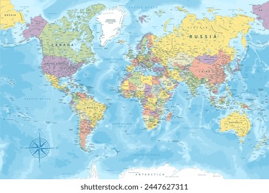
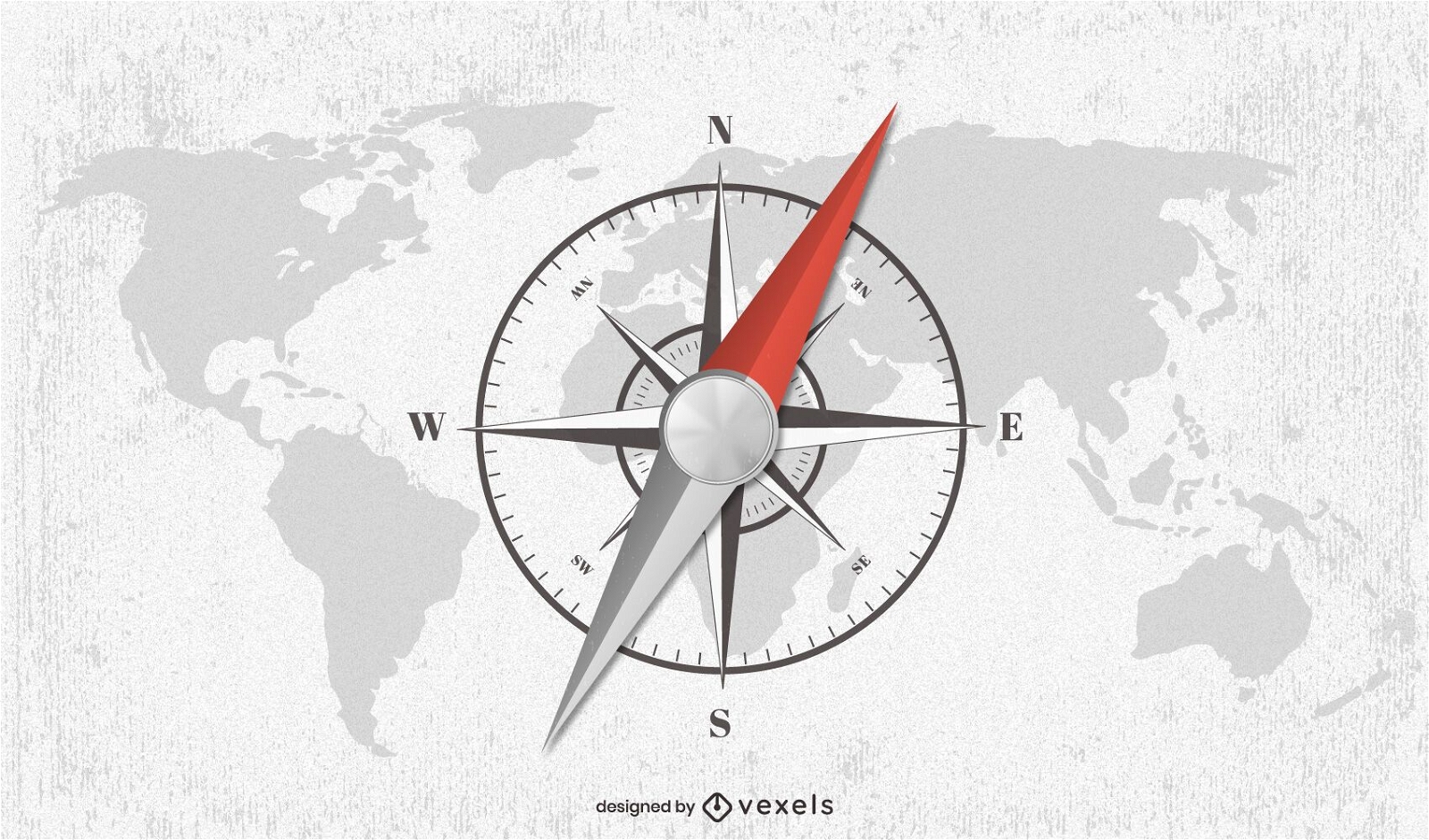
Compass world map illustration design
Choose a folder
All favorites
Create new
Save
Compass world map illustration design
N n letter monster flat PNG Design
Choose a folder
All favorites
Create new
Save
N n letter monster flat PNG Design
International maritime signal flag n flat PNG Design
Choose a folder
All favorites
Create new
Save
International maritime signal flag n flat PNG Design
Premium
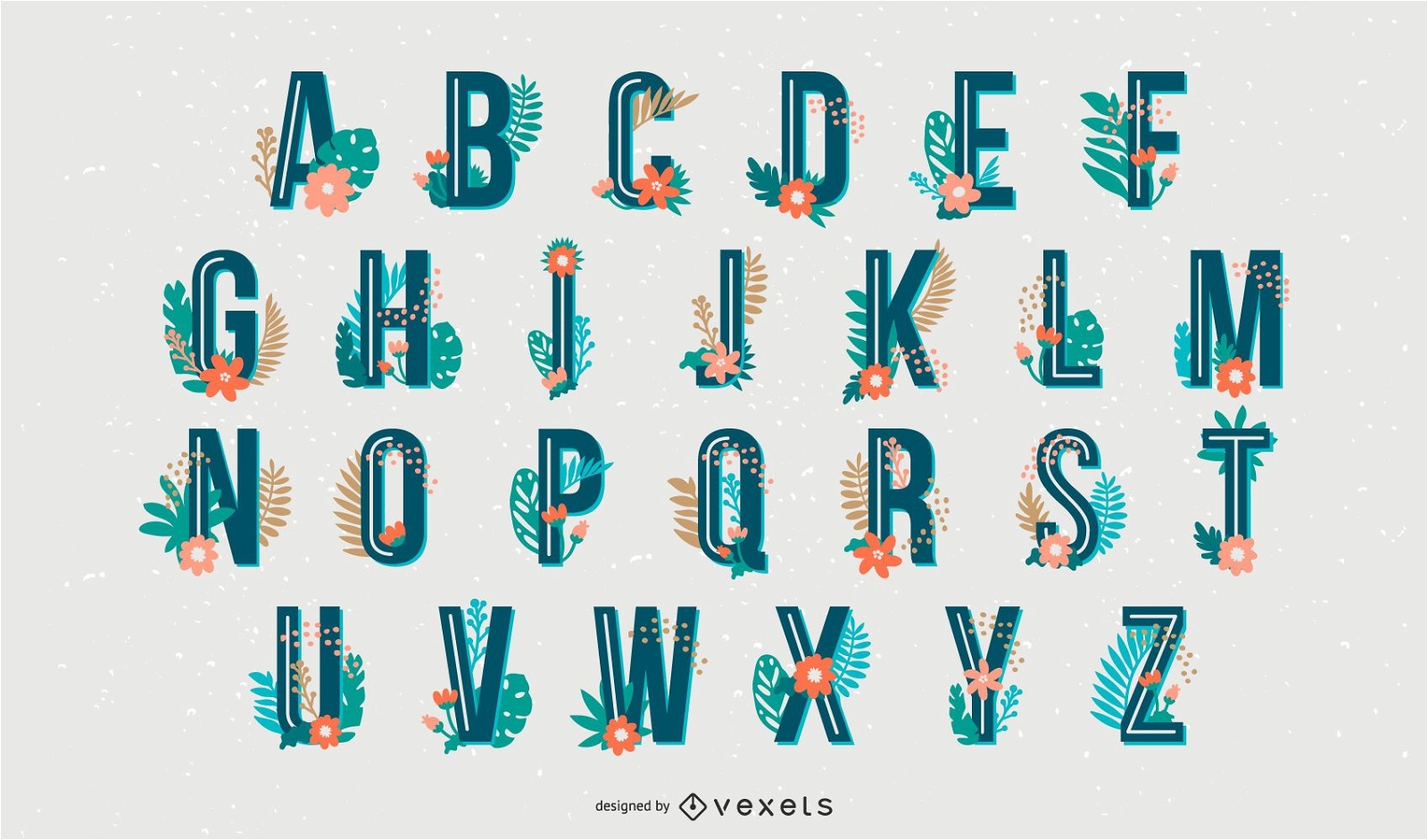
Tropical Style Alphabet Letter Set
Choose a folder
All favorites
Create new
Save
Tropical Style Alphabet Letter Set
Premium
Christmas sloth having a drink PNG Design
Choose a folder
All favorites
Create new
Save
Christmas sloth having a drink PNG Design
N letter mandala alphabet element PNG Design
Choose a folder
All favorites
Create new
Save
N letter mandala alphabet element PNG Design
Pole star hand drawn PNG Design
Choose a folder
All favorites
Create new
Save
Pole star hand drawn PNG Design
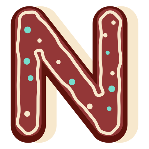
Gingerbread letter n PNG Design
Choose a folder
All favorites
Create new
Save
Gingerbread letter n PNG Design
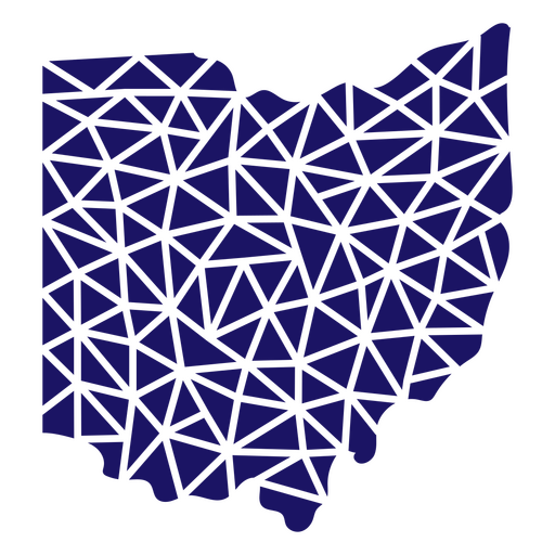
Polygonal Ohio State Map PNG Design
Choose a folder
All favorites
Create new
Save
Polygonal Ohio State Map PNG Design
Alphabet letter ñ mandala PNG Design
Choose a folder
All favorites
Create new
Save
Alphabet letter ñ mandala PNG Design
Premium
Toronto Watercolor Skyline Design
Choose a folder
All favorites
Create new
Save
Toronto Watercolor Skyline Design
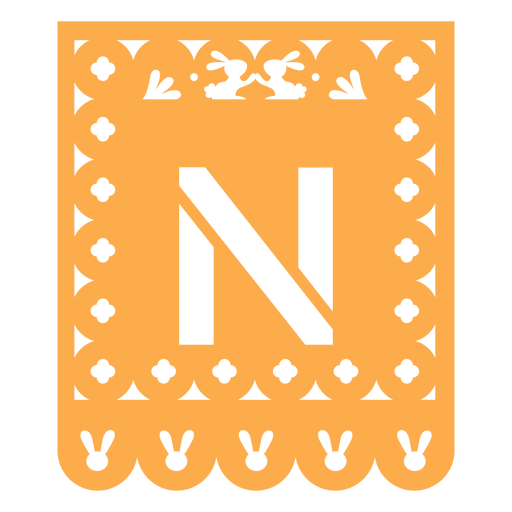
Papel picado n flat PNG Design
Choose a folder
All favorites
Create new
Save
Papel picado n flat PNG Design
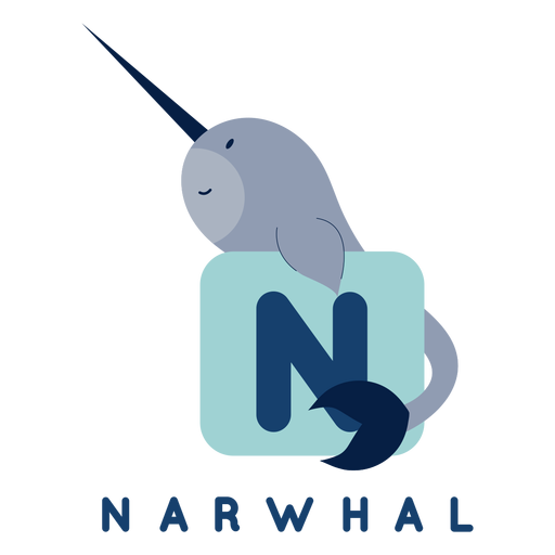
Letter n narwhal alphabet PNG Design
Choose a folder
All favorites
Create new
Save
Letter n narwhal alphabet PNG Design
Premium
Compass illustration PNG Design
Choose a folder
All favorites
Create new
Save
Compass illustration PNG Design
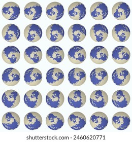
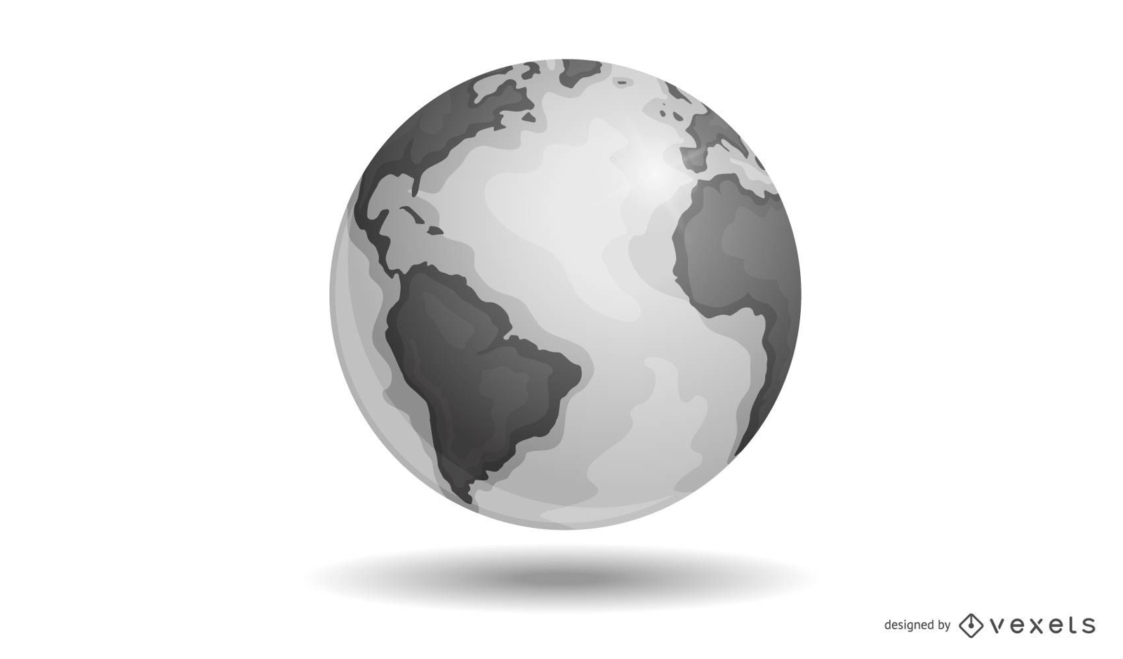
Vector Earth
Choose a folder
All favorites
Create new
Save
Vector Earth
Editable text
Print ready
for Merch
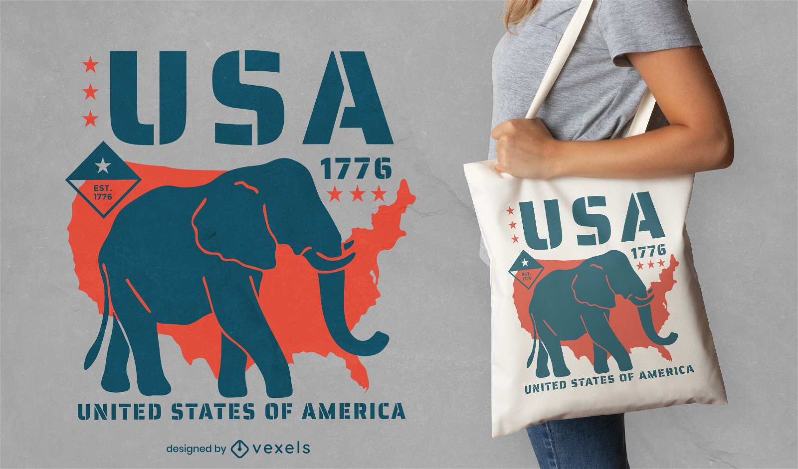
Republican elephant tote bag design
Choose a folder
All favorites
Create new
Save
Republican elephant tote bag design
Floral alphabet letter ñ PNG Design
Choose a folder
All favorites
Create new
Save
Floral alphabet letter ñ PNG Design
Boost Your Business
With The Leading Graphic Platform For Merch.
SEE PLANS
Next
of 12
prev page
next page