Design Library
Explore Designs
New Merch Designs
Trending Merch Designs
Vectors
PNGs & SVGs
Mockups
T-Shirts
T-Shirt PSD Templates
KDP Designs
Phone Cases
Pillows
Tote Bags
Posters
Mugs
Design Tools
Designer
New!
T-shirt Maker
Mockup Generator
Quote Generator
Logo Maker
Resources
Merch Digest
Blog
Help Center
Creators Program
Learn About Merch
Changelog
Pricing
Loading...
Sign Up
Login
All
region
Design Library
Explore Designs
New Merch Designs
Trending Merch Designs
Vectors
PNGs & SVGs
Mockups
T-Shirts
T-Shirt PSD Templates
KDP Designs
Phone Cases
Pillows
Tote Bags
Posters
Mugs
Design Tools
Designer
New!
T-shirt Maker
Mockup Generator
Quote Generator
Logo Maker
Resources
Merch Digest
Blog
Help Center
Creators Program
Learn About Merch
Changelog
PLANS
All
region
118 region designs graphics for t-shirt and print on demand merch
Download region t-shirt designs and other merch graphics like book covers, phone cases, tote bags and more.
Related:
regions
,
regional
,
historical regions
Sort by
Most relevant
Sponsored results by
Get 15% off with code: VEXELS15
Show more
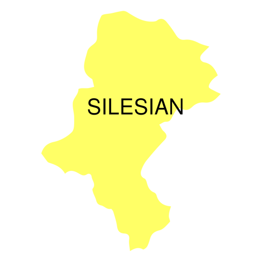
Premium
Silesian voivodeship map PNG Design
Choose a folder
All favorites
Create new
Save
Silesian voivodeship map PNG Design
Premium
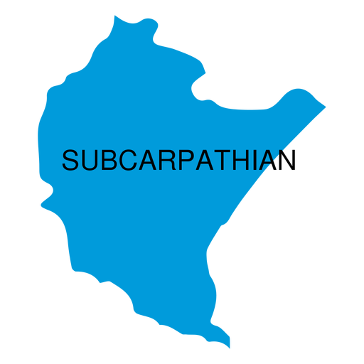
Subcarpathian voivodeship map PNG Design
Choose a folder
All favorites
Create new
Save
Subcarpathian voivodeship map PNG Design
Premium
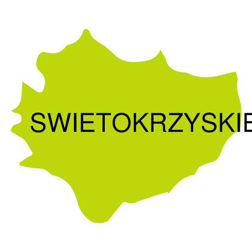
Swietokrzyskie voivodeship map PNG Design
Choose a folder
All favorites
Create new
Save
Swietokrzyskie voivodeship map PNG Design
Premium
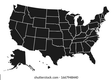
The state of tennessee is shown PNG Design
Choose a folder
All favorites
Create new
Save
The state of tennessee is shown PNG Design
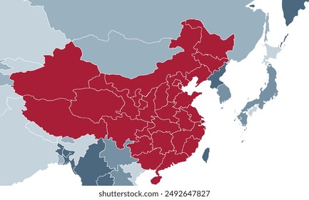
Japan Map Vector
Choose a folder
All favorites
Create new
Save
Japan Map Vector
Premium
Watermelon label PNG Design
Choose a folder
All favorites
Create new
Save
Watermelon label PNG Design
Premium
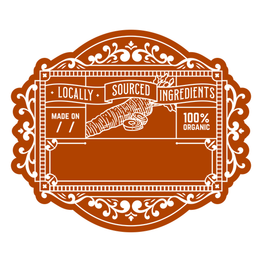
Label with a logo for local sourced ingredients PNG Design
Choose a folder
All favorites
Create new
Save
Label with a logo for local sourced ingredients PNG Design
Premium
Green label for organic lemongrass PNG Design
Choose a folder
All favorites
Create new
Save
Green label for organic lemongrass PNG Design
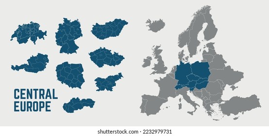
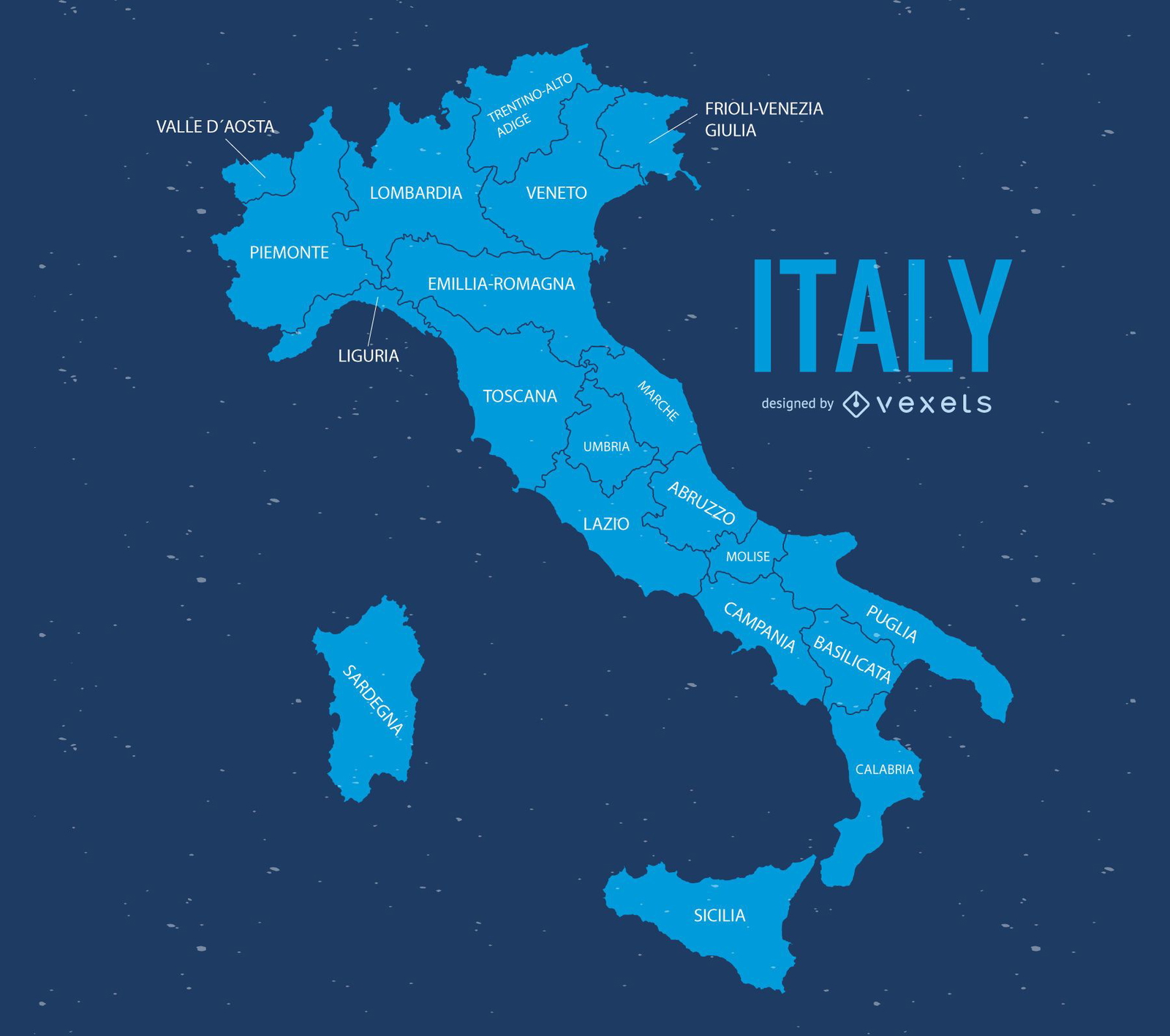
Italy Map
Choose a folder
All favorites
Create new
Save
Italy Map
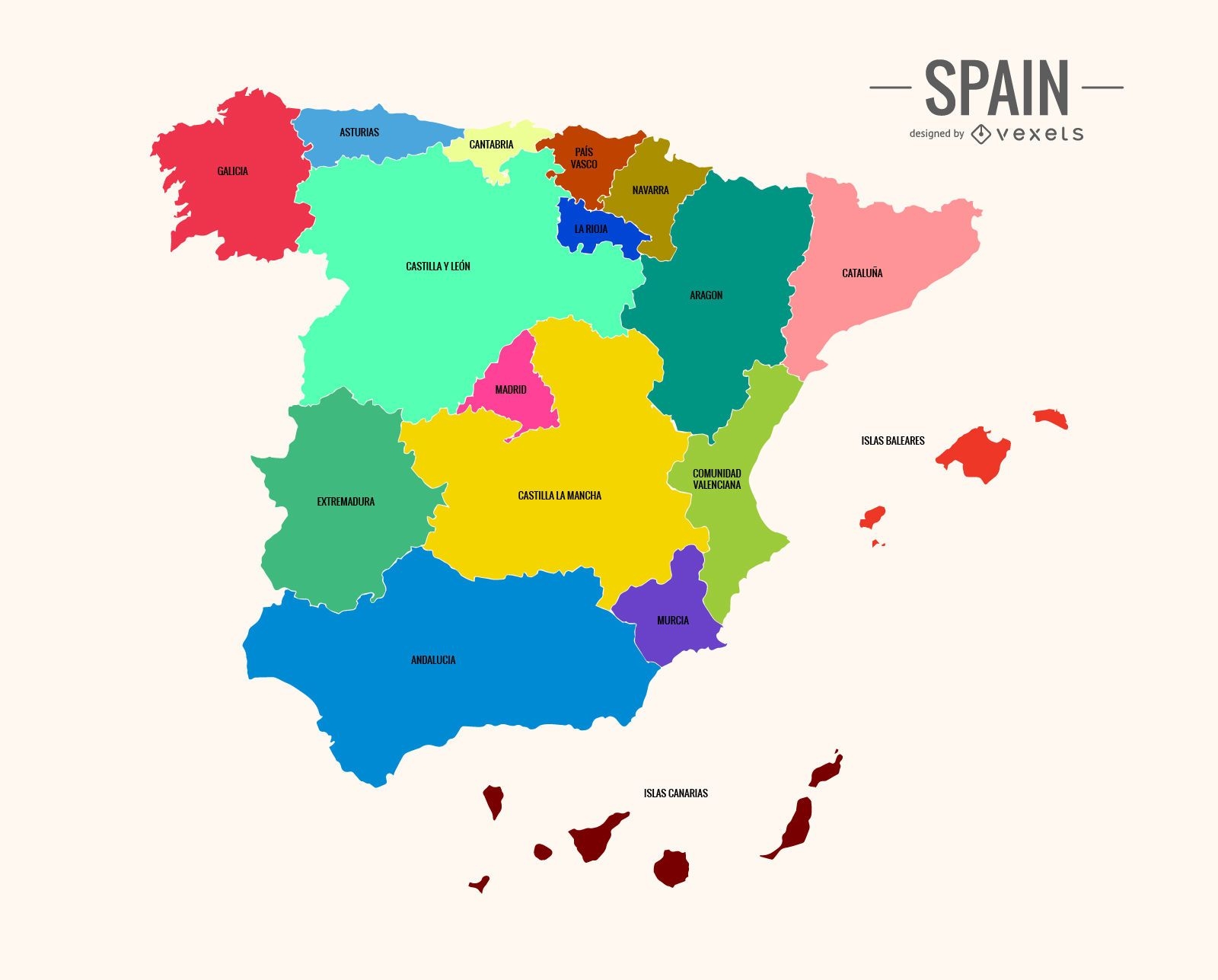
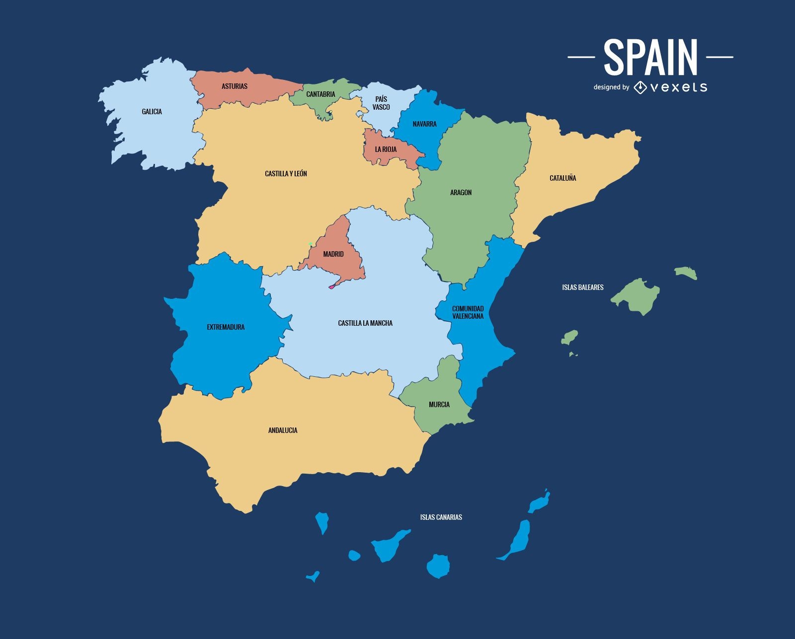
Colorful Spain map
Choose a folder
All favorites
Create new
Save
Colorful Spain map
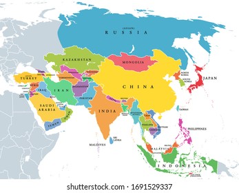
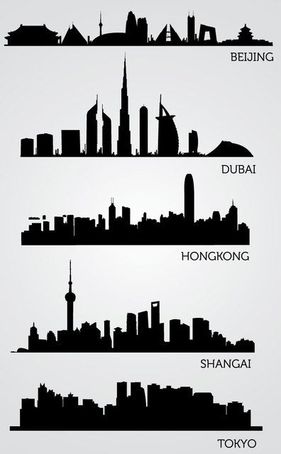
Asian Skyline Silhouettes
Choose a folder
All favorites
Create new
Save
Asian Skyline Silhouettes
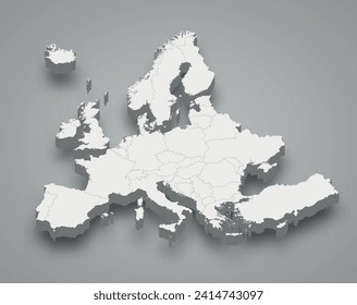
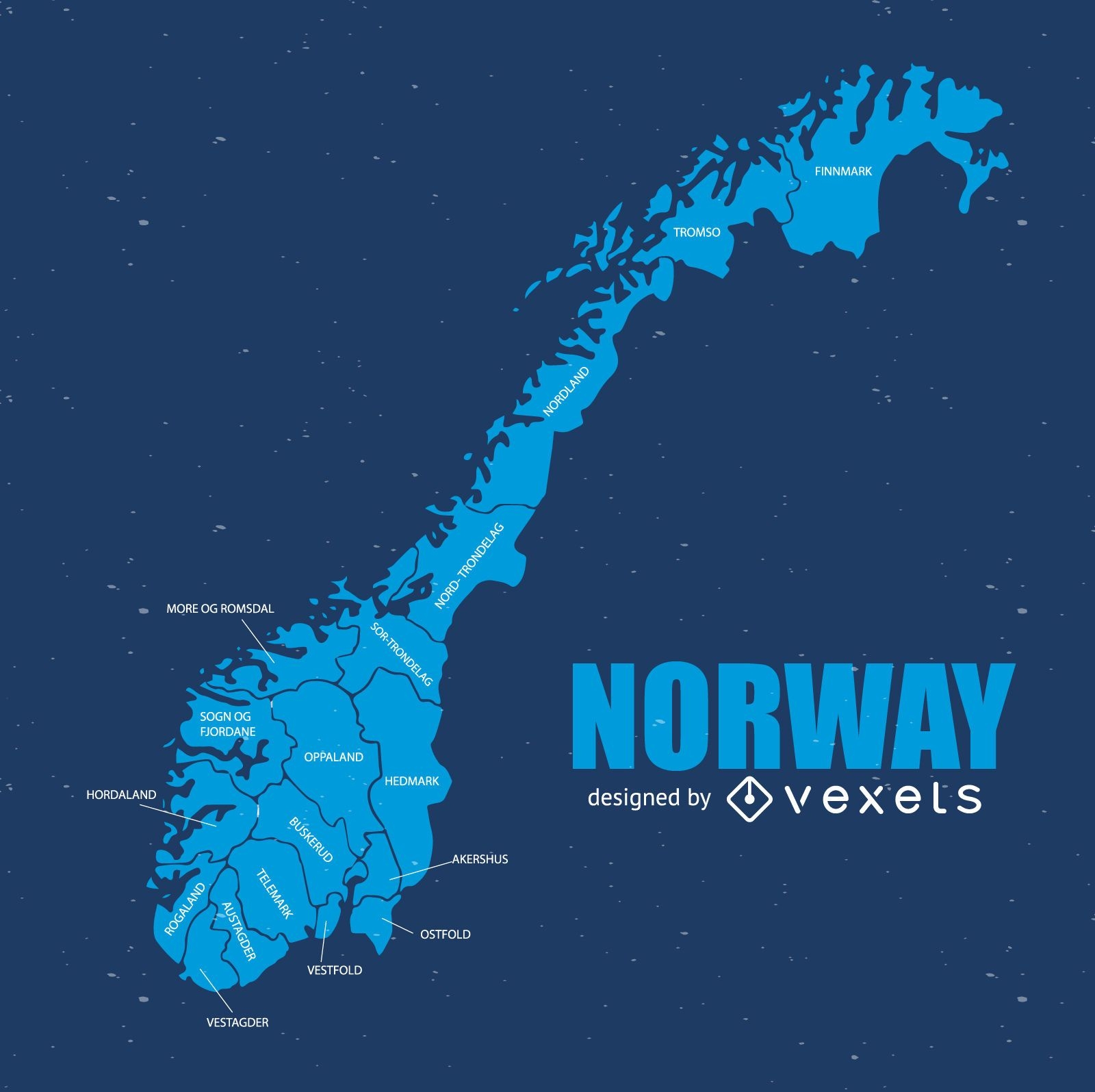
Norway map
Choose a folder
All favorites
Create new
Save
Norway map
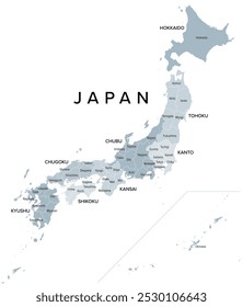
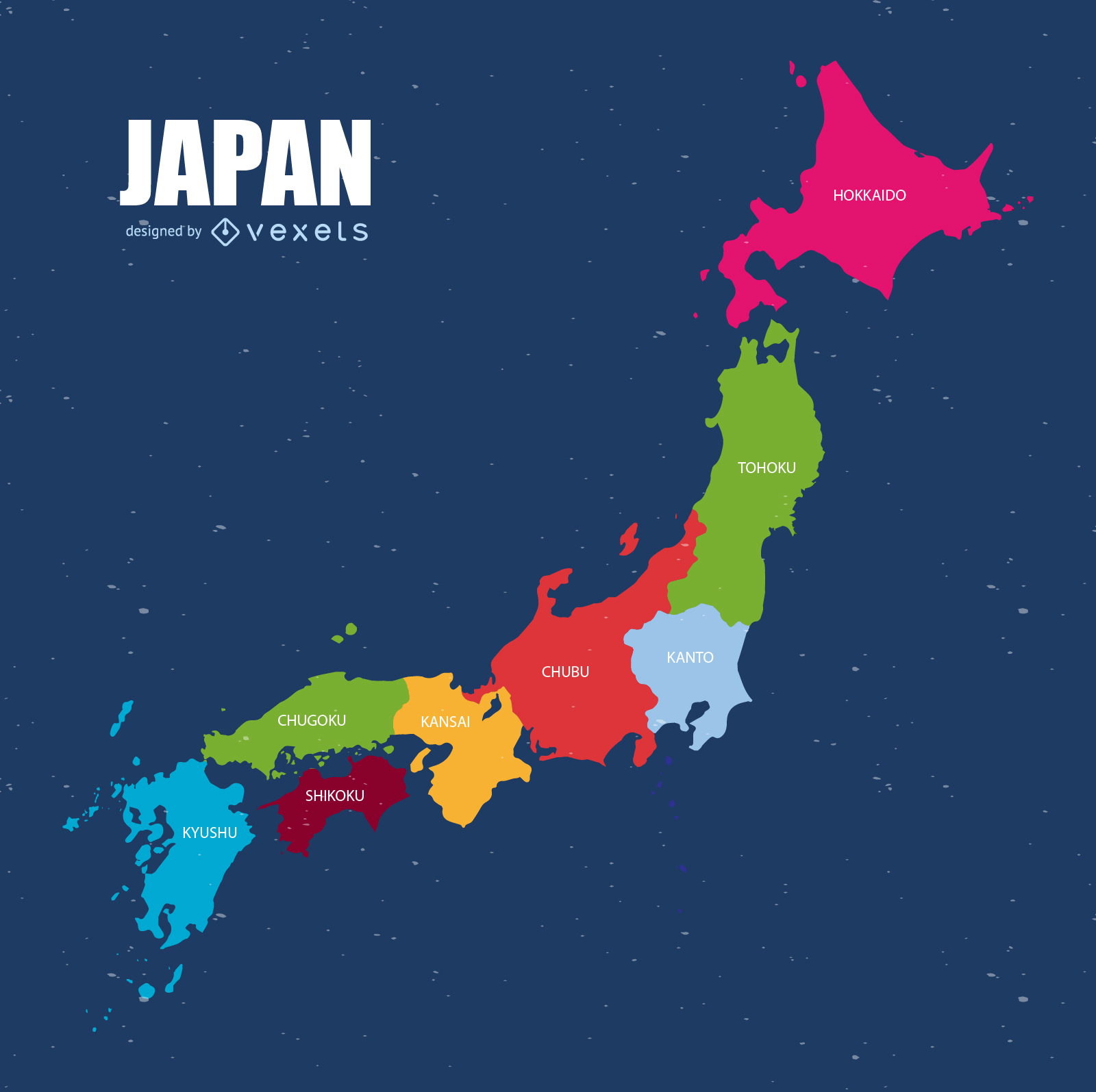
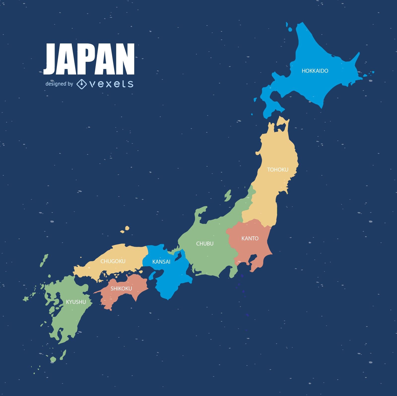
Colorful Japan map
Choose a folder
All favorites
Create new
Save
Colorful Japan map
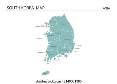
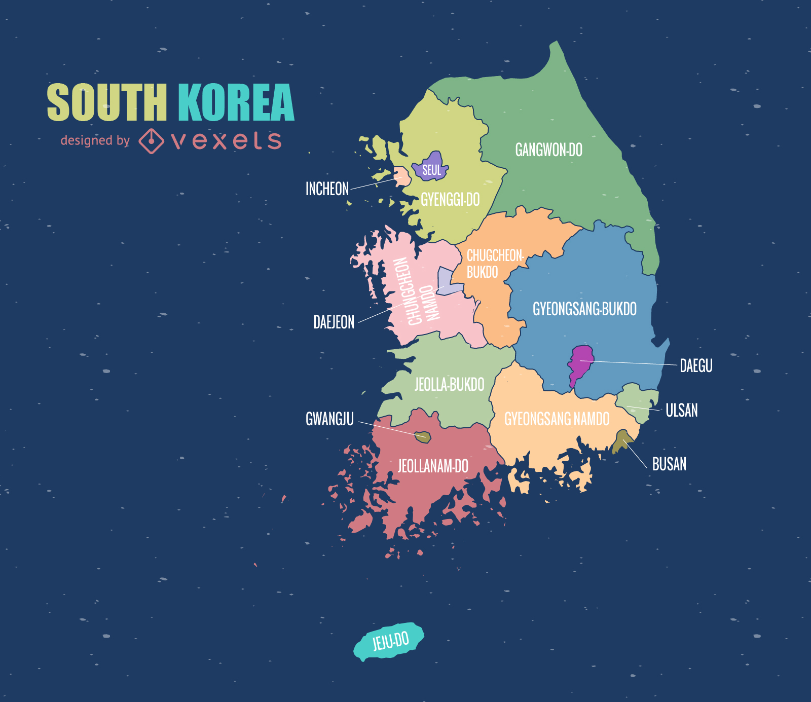
South Korea Map
Choose a folder
All favorites
Create new
Save
South Korea Map
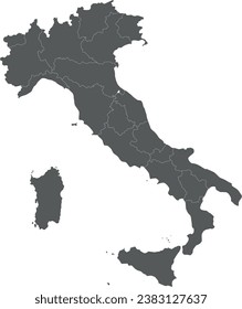
Italy map illustration
Choose a folder
All favorites
Create new
Save
Italy map illustration
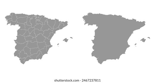
Political spain map
Choose a folder
All favorites
Create new
Save
Political spain map
Print ready
for Merch
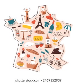
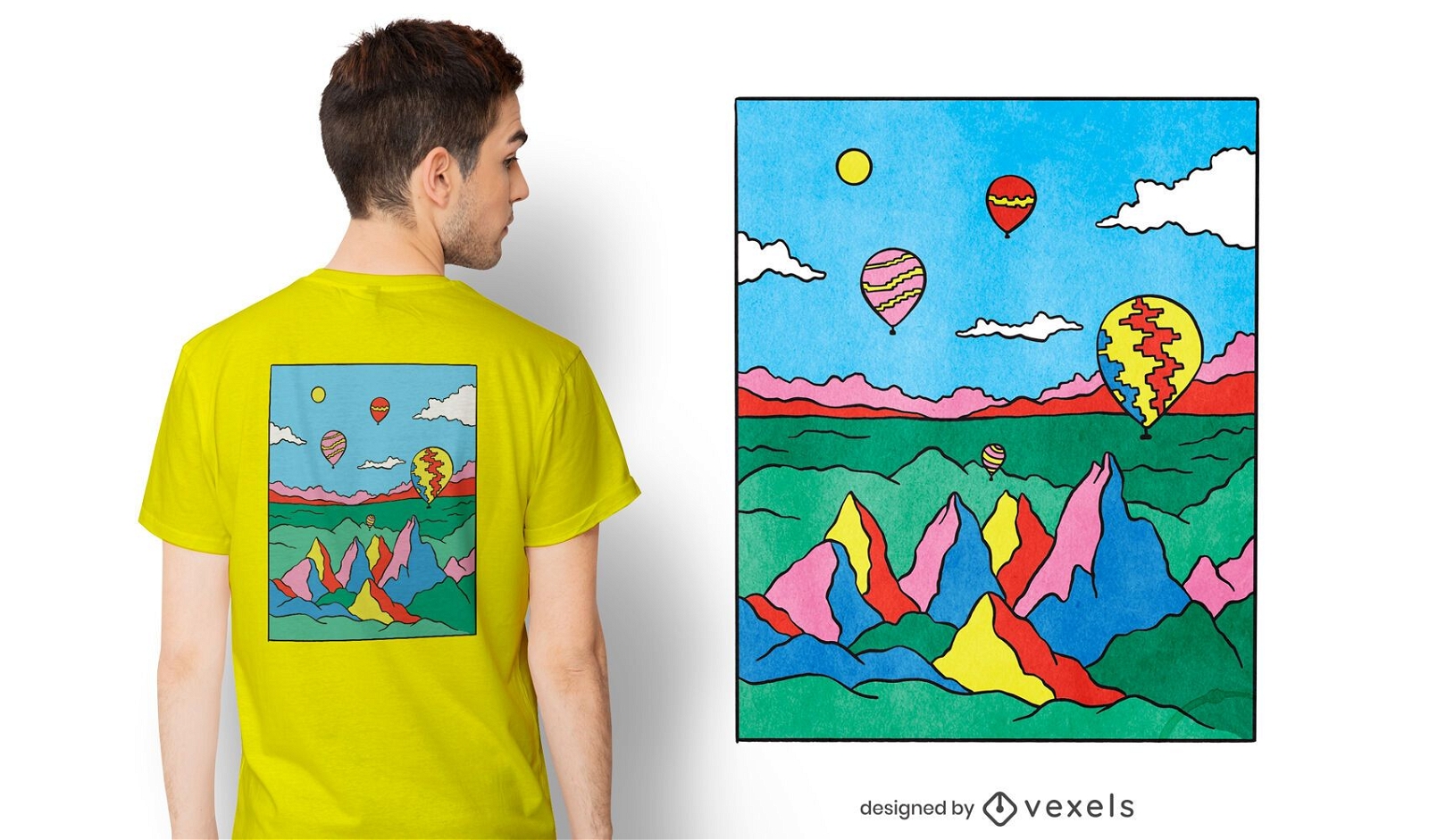
Colorful capadocia t-shirt design
Choose a folder
All favorites
Create new
Save
Colorful capadocia t-shirt design
Premium
Label with the words local sourced ingredients PNG Design
Choose a folder
All favorites
Create new
Save
Label with the words local sourced ingredients PNG Design
Boost Your Business
With The Leading Graphic Platform For Merch.
SEE PLANS
of 3
prev page
next page