Design Library
Explore Designs
New Merch Designs
Trending Merch Designs
Vectors
PNGs & SVGs
Mockups
T-Shirts
T-Shirt PSD Templates
KDP Designs
Phone Cases
Pillows
Tote Bags
Posters
Mugs
Design Tools
Designer
New!
T-shirt Maker
Mockup Generator
Quote Generator
Logo Maker
Resources
Merch Digest
Blog
Help Center
Creators Program
Learn About Merch
Changelog
Pricing
Loading...
Sign Up
Login
All
subdivision
Design Library
Explore Designs
New Merch Designs
Trending Merch Designs
Vectors
PNGs & SVGs
Mockups
T-Shirts
T-Shirt PSD Templates
KDP Designs
Phone Cases
Pillows
Tote Bags
Posters
Mugs
Design Tools
Designer
New!
T-shirt Maker
Mockup Generator
Quote Generator
Logo Maker
Resources
Merch Digest
Blog
Help Center
Creators Program
Learn About Merch
Changelog
PLANS
All
subdivision
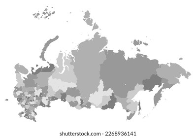
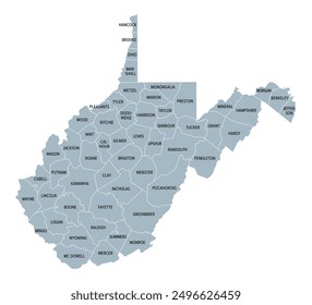
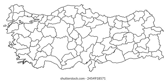
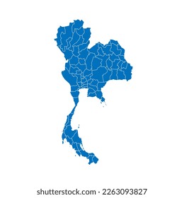
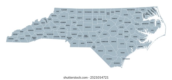
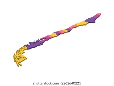
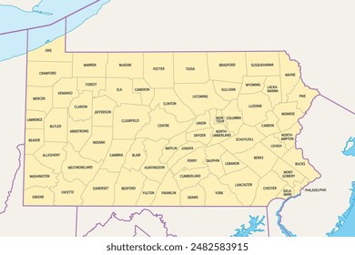
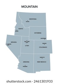
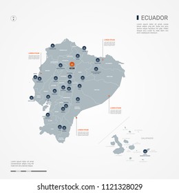
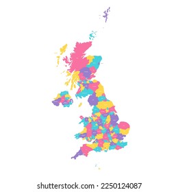
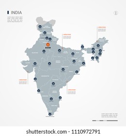
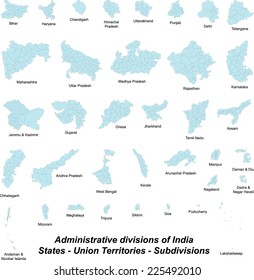
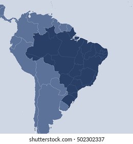
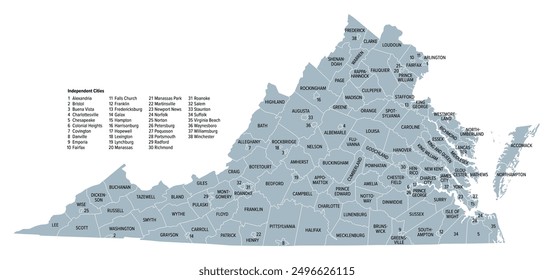
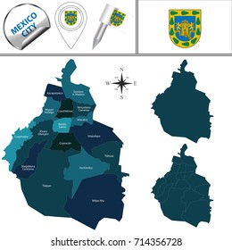
90 subdivision designs graphics for t-shirt and print on demand merch
Download subdivision t-shirt designs and other merch graphics like book covers, phone cases, tote bags and more.
Sort by
Most relevant
Sponsored results by
Get 15% off with code: VEXELS15
Show more
Premium
Central java province map PNG Design
Choose a folder
All favorites
Create new
Save
Central java province map PNG Design
Premium
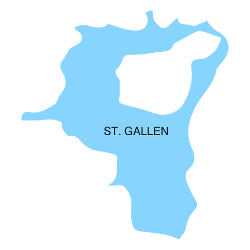
St gallen canton map PNG Design
Choose a folder
All favorites
Create new
Save
St gallen canton map PNG Design
Premium
West papua province map PNG Design
Choose a folder
All favorites
Create new
Save
West papua province map PNG Design
Premium
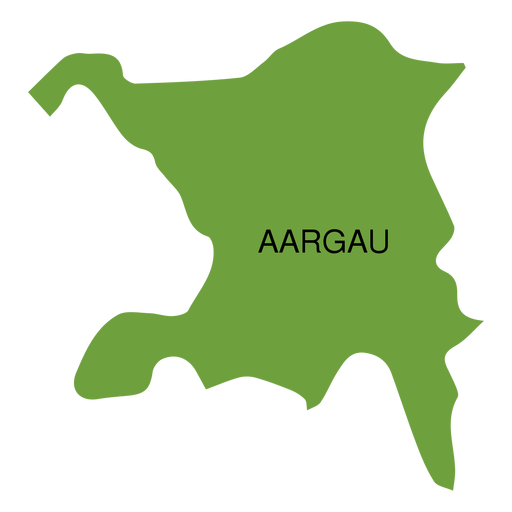
Aargau canton map PNG Design
Choose a folder
All favorites
Create new
Save
Aargau canton map PNG Design
Premium
North maluku province map PNG Design
Choose a folder
All favorites
Create new
Save
North maluku province map PNG Design
Premium
West nusa tenggara province map PNG Design
Choose a folder
All favorites
Create new
Save
West nusa tenggara province map PNG Design
Premium
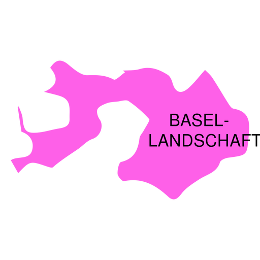
Basel landschaft canton map PNG Design
Choose a folder
All favorites
Create new
Save
Basel landschaft canton map PNG Design
Premium
Riau islands province map PNG Design
Choose a folder
All favorites
Create new
Save
Riau islands province map PNG Design
Premium
South kalimantan province map PNG Design
Choose a folder
All favorites
Create new
Save
South kalimantan province map PNG Design
Premium
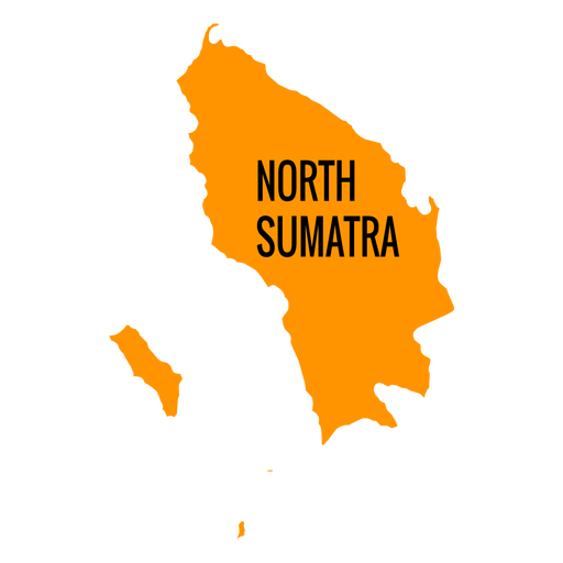
North sumatra province map PNG Design
Choose a folder
All favorites
Create new
Save
North sumatra province map PNG Design
Premium
Basel stadt canton map PNG Design
Choose a folder
All favorites
Create new
Save
Basel stadt canton map PNG Design
Premium
South sumatra province map PNG Design
Choose a folder
All favorites
Create new
Save
South sumatra province map PNG Design
Premium
Geneva canton map PNG Design
Choose a folder
All favorites
Create new
Save
Geneva canton map PNG Design
Premium
North sulawesi province map PNG Design
Choose a folder
All favorites
Create new
Save
North sulawesi province map PNG Design
Premium
Thurgau canton map PNG Design
Choose a folder
All favorites
Create new
Save
Thurgau canton map PNG Design
Premium
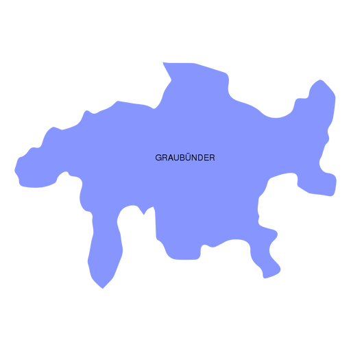
Graubunder grisons canton map PNG Design
Choose a folder
All favorites
Create new
Save
Graubunder grisons canton map PNG Design
Premium
Lampurg province map PNG Design
Choose a folder
All favorites
Create new
Save
Lampurg province map PNG Design
Premium
Zug canton map PNG Design
Choose a folder
All favorites
Create new
Save
Zug canton map PNG Design
Premium
Bangka belitung province map PNG Design
Choose a folder
All favorites
Create new
Save
Bangka belitung province map PNG Design
Premium
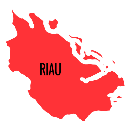
Riau province map PNG Design
Choose a folder
All favorites
Create new
Save
Riau province map PNG Design
Premium
Appenzell ausserrhoden canton map PNG Design
Choose a folder
All favorites
Create new
Save
Appenzell ausserrhoden canton map PNG Design
Premium
Banten province map PNG Design
Choose a folder
All favorites
Create new
Save
Banten province map PNG Design
Premium
Bengkulu province map PNG Design
Choose a folder
All favorites
Create new
Save
Bengkulu province map PNG Design
Premium
Central kalimantan province map PNG Design
Choose a folder
All favorites
Create new
Save
Central kalimantan province map PNG Design
Premium
Jambi province map PNG Design
Choose a folder
All favorites
Create new
Save
Jambi province map PNG Design
Premium
Gorontalo province map PNG Design
Choose a folder
All favorites
Create new
Save
Gorontalo province map PNG Design
Premium
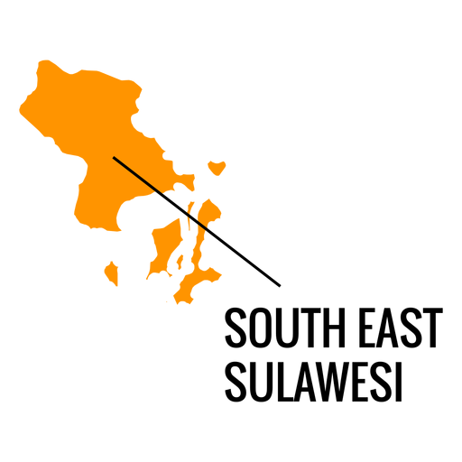
South east sulawesi province map PNG Design
Choose a folder
All favorites
Create new
Save
South east sulawesi province map PNG Design
Premium
West kalimantan province map PNG Design
Choose a folder
All favorites
Create new
Save
West kalimantan province map PNG Design
Premium
East kalimantan province map PNG Design
Choose a folder
All favorites
Create new
Save
East kalimantan province map PNG Design
Premium
East nusa tenggara province map PNG Design
Choose a folder
All favorites
Create new
Save
East nusa tenggara province map PNG Design
Premium
Appenzell innerrhoden canton map PNG Design
Choose a folder
All favorites
Create new
Save
Appenzell innerrhoden canton map PNG Design
Premium
Neuchatel canton map PNG Design
Choose a folder
All favorites
Create new
Save
Neuchatel canton map PNG Design
Premium
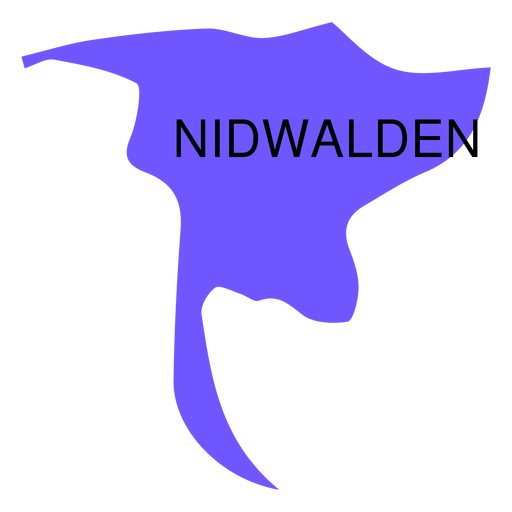
Nidwalden canton map PNG Design
Choose a folder
All favorites
Create new
Save
Nidwalden canton map PNG Design
Premium
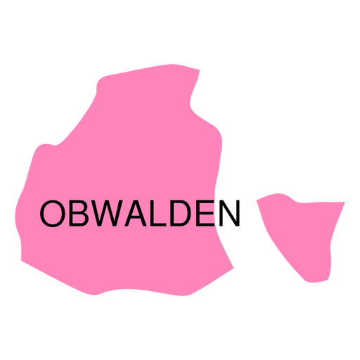
Obwalden canton map PNG Design
Choose a folder
All favorites
Create new
Save
Obwalden canton map PNG Design
Premium
Schaffhausen canton map PNG Design
Choose a folder
All favorites
Create new
Save
Schaffhausen canton map PNG Design
Premium
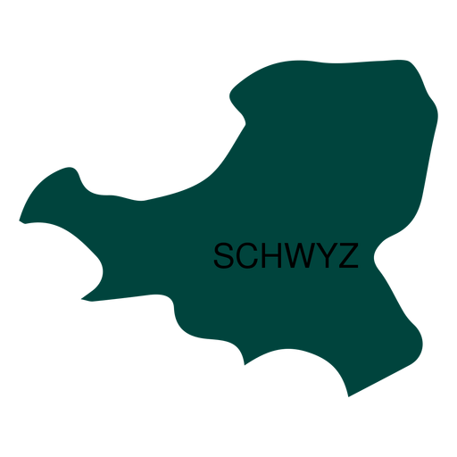
Schwyz canton map PNG Design
Choose a folder
All favorites
Create new
Save
Schwyz canton map PNG Design
Premium
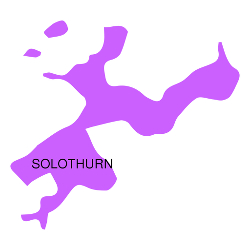
Solothurn canton map PNG Design
Choose a folder
All favorites
Create new
Save
Solothurn canton map PNG Design
Premium
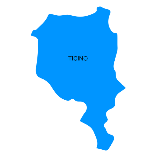
Ticino canton map PNG Design
Choose a folder
All favorites
Create new
Save
Ticino canton map PNG Design
Premium
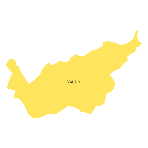
Valais canton map PNG Design
Choose a folder
All favorites
Create new
Save
Valais canton map PNG Design
Premium
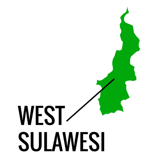
West sulawesi province map PNG Design
Choose a folder
All favorites
Create new
Save
West sulawesi province map PNG Design
Boost Your Business
With The Leading Graphic Platform For Merch.
SEE PLANS
of 2
prev page
next page