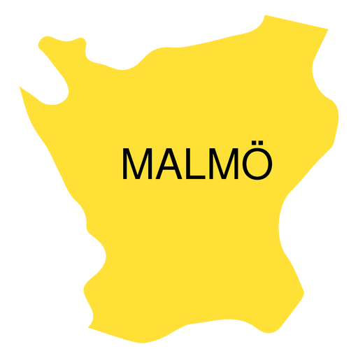
Design Library
Explore Designs
New Merch Designs
Trending Merch Designs
Vectors
PNGs & SVGs
Mockups
T-Shirts
T-Shirt PSD Templates
KDP Designs
Phone Cases
Pillows
Tote Bags
Posters
Mugs
Design Tools
Designer
New!
T-shirt Maker
Mockup Generator
Quote Generator
Logo Maker
Resources
Merch Digest
Blog
Help Center
Creators Program
Learn About Merch
Changelog
Pricing
Loading...
Sign Up
Login
PNGs For Merch
country
map
Design Library
Explore Designs
New Merch Designs
Trending Merch Designs
Vectors
PNGs & SVGs
Mockups
T-Shirts
T-Shirt PSD Templates
KDP Designs
Phone Cases
Pillows
Tote Bags
Posters
Mugs
Design Tools
Designer
New!
T-shirt Maker
Mockup Generator
Quote Generator
Logo Maker
Resources
Merch Digest
Blog
Help Center
Creators Program
Learn About Merch
Changelog
PLANS
PNGs For Merch
country
map
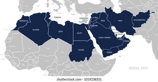
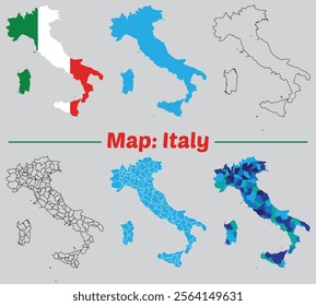
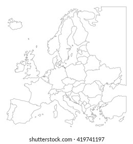
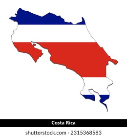
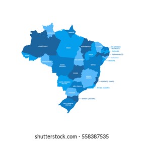
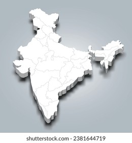
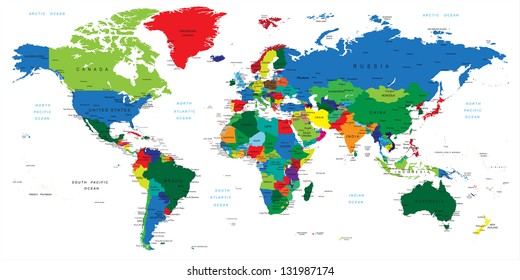
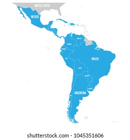
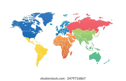
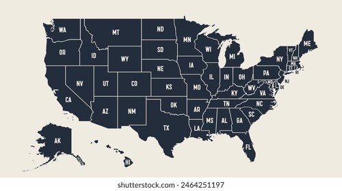
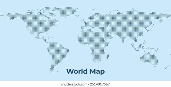
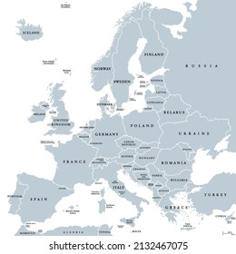
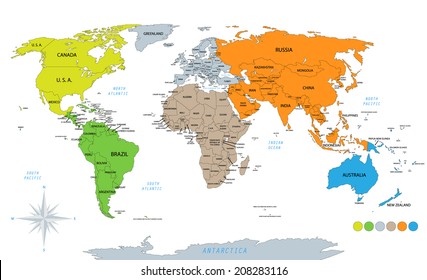
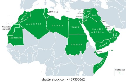
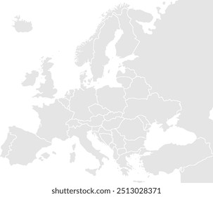
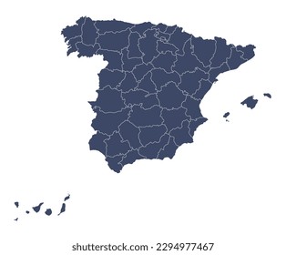
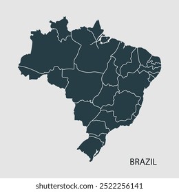
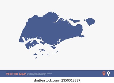
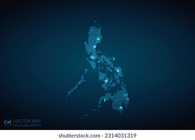
776 country map PNG and SVG design graphic
Download country map PNG & SVG Designs with transparent background for T-Shirts, book covers, phone cases and other merch.
Sort by
Most relevant
Sponsored results by
Get 15% off with code: VEXELS15
Show more
Premium
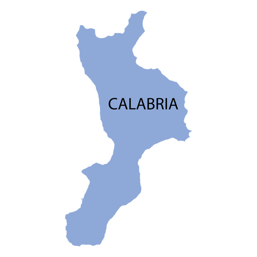
Calabria region map PNG Design
Choose a folder
All favorites
Create new
Save
Calabria region map PNG Design
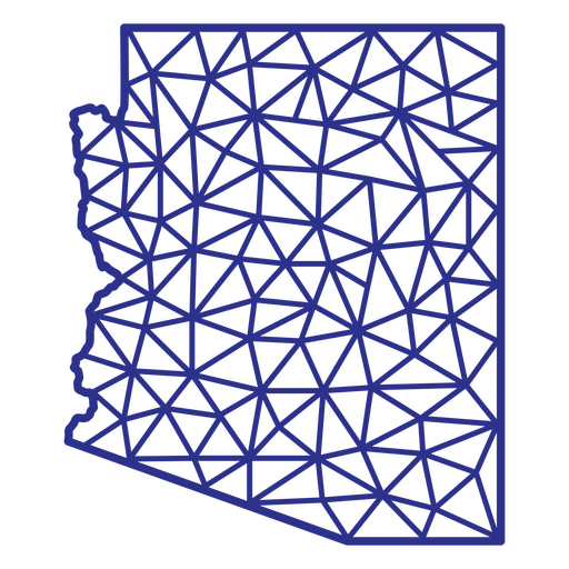
Arizona map polygonal PNG Design
Choose a folder
All favorites
Create new
Save
Arizona map polygonal PNG Design
Premium
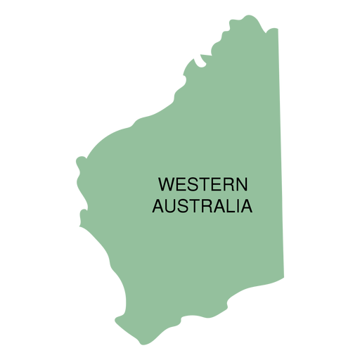
Western australia state map PNG Design
Choose a folder
All favorites
Create new
Save
Western australia state map PNG Design
Premium
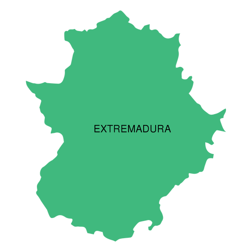
Extremadura autonomous community map PNG Design
Choose a folder
All favorites
Create new
Save
Extremadura autonomous community map PNG Design
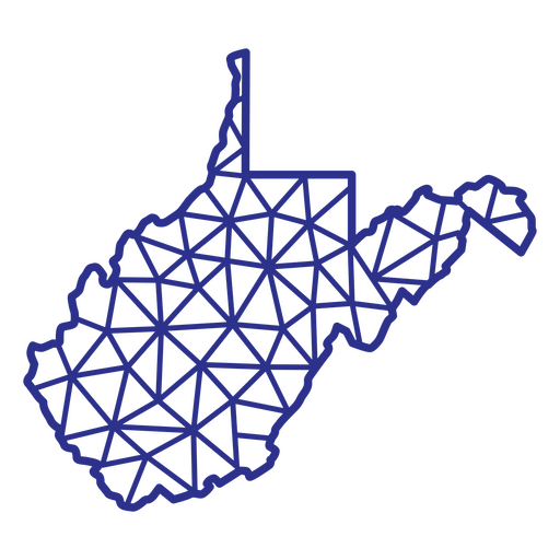
West Virginia map polygonal PNG Design
Choose a folder
All favorites
Create new
Save
West Virginia map polygonal PNG Design
Premium
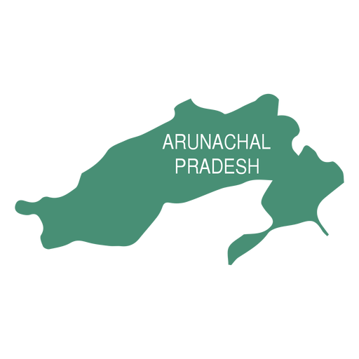
Arunachal pradesh state map PNG Design
Choose a folder
All favorites
Create new
Save
Arunachal pradesh state map PNG Design
Premium
Bali province map PNG Design
Choose a folder
All favorites
Create new
Save
Bali province map PNG Design
Premium
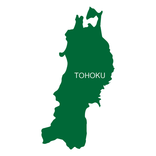
Tohoku region map PNG Design
Choose a folder
All favorites
Create new
Save
Tohoku region map PNG Design
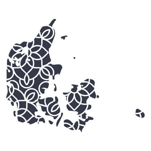
Mandala Denmark Map PNG Design
Choose a folder
All favorites
Create new
Save
Mandala Denmark Map PNG Design
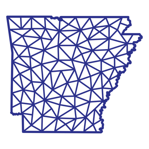
Arkansas map polygonal PNG Design
Choose a folder
All favorites
Create new
Save
Arkansas map polygonal PNG Design
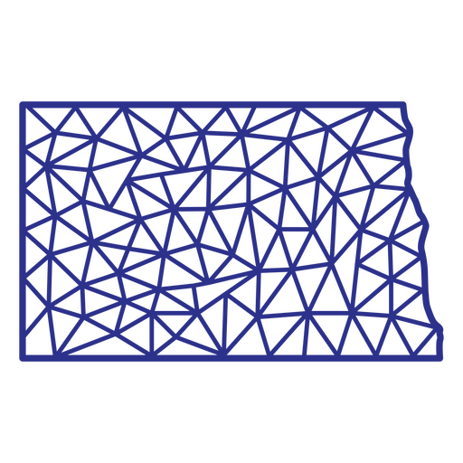
North Dakota map polygonal PNG Design
Choose a folder
All favorites
Create new
Save
North Dakota map polygonal PNG Design
A silhouette of the map of Malaysia PNG Design
Choose a folder
All favorites
Create new
Save
A silhouette of the map of Malaysia PNG Design
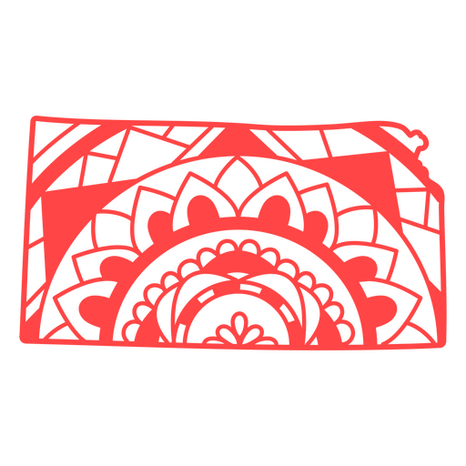
Kansas state mandala map stroke PNG Design
Choose a folder
All favorites
Create new
Save
Kansas state mandala map stroke PNG Design
Premium
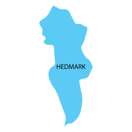
Hedmark county map PNG Design
Choose a folder
All favorites
Create new
Save
Hedmark county map PNG Design
Premium
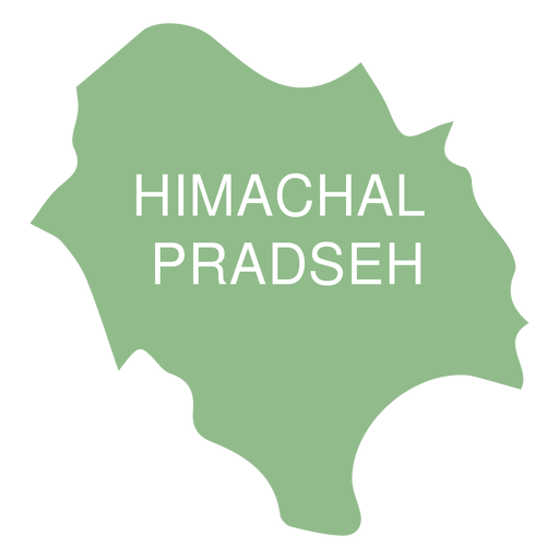
Himachal pradesh state map PNG Design
Choose a folder
All favorites
Create new
Save
Himachal pradesh state map PNG Design
Premium
Jakarta province map PNG Design
Choose a folder
All favorites
Create new
Save
Jakarta province map PNG Design
Premium
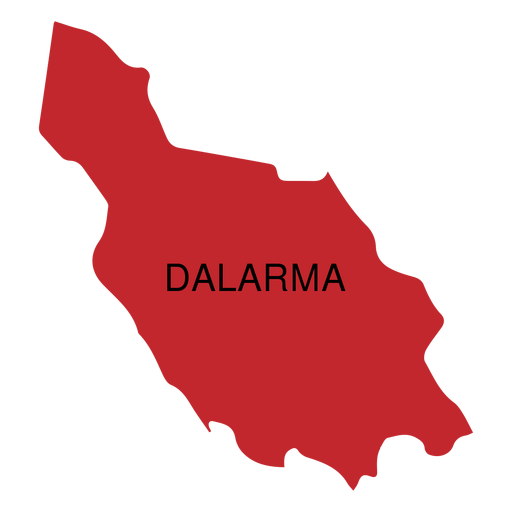
Dalarna county map PNG Design
Choose a folder
All favorites
Create new
Save
Dalarna county map PNG Design
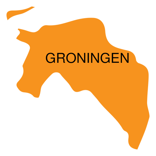
Premium
Groningen province map PNG Design
Choose a folder
All favorites
Create new
Save
Groningen province map PNG Design
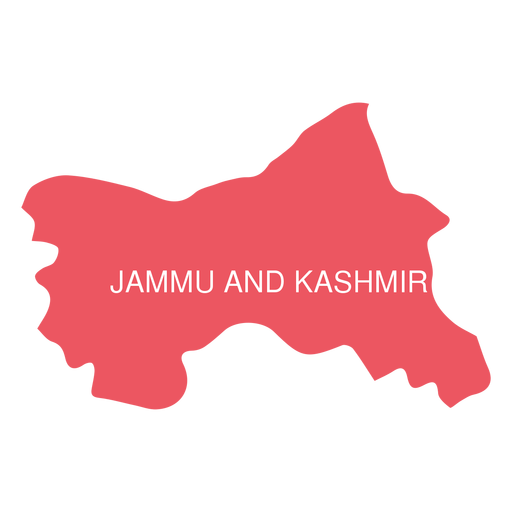
Premium
Jammu and kashmir state map PNG Design
Choose a folder
All favorites
Create new
Save
Jammu and kashmir state map PNG Design
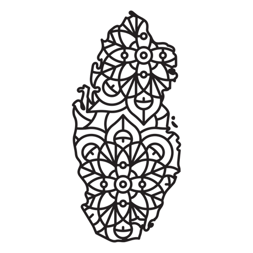
Qatar Mandala Map PNG Design
Choose a folder
All favorites
Create new
Save
Qatar Mandala Map PNG Design
Premium
Skane county map PNG Design
Choose a folder
All favorites
Create new
Save
Skane county map PNG Design
Premium
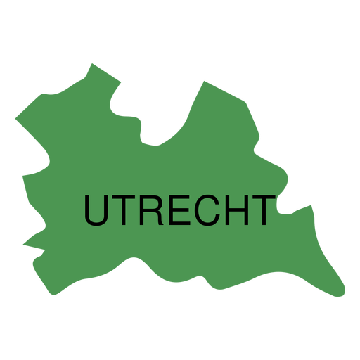
Utrecht province map PNG Design
Choose a folder
All favorites
Create new
Save
Utrecht province map PNG Design
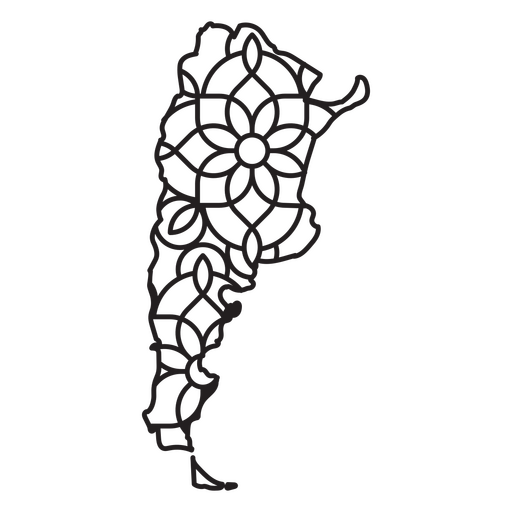
Argentina Mandala Map PNG Design
Choose a folder
All favorites
Create new
Save
Argentina Mandala Map PNG Design
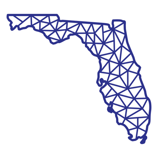
Florida map polygonal PNG Design
Choose a folder
All favorites
Create new
Save
Florida map polygonal PNG Design
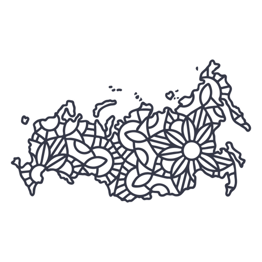
Russia map silhouette mandala stroke PNG Design
Choose a folder
All favorites
Create new
Save
Russia map silhouette mandala stroke PNG Design
Premium
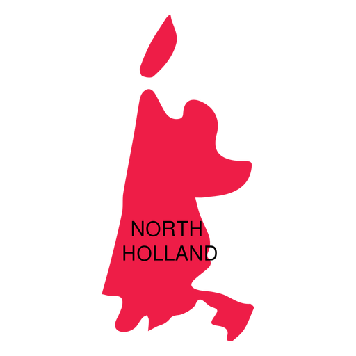
North holland province map PNG Design
Choose a folder
All favorites
Create new
Save
North holland province map PNG Design
A silhouette of the map of Austria PNG Design
Choose a folder
All favorites
Create new
Save
A silhouette of the map of Austria PNG Design
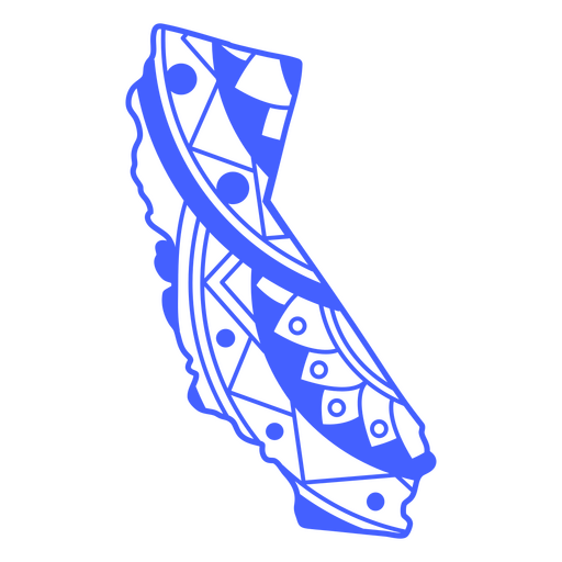
California state mandala map stroke PNG Design
Choose a folder
All favorites
Create new
Save
California state mandala map stroke PNG Design
A silhouette of the Map of Qatar PNG Design
Choose a folder
All favorites
Create new
Save
A silhouette of the Map of Qatar PNG Design
A silhouette of the map of Singapore PNG Design
Choose a folder
All favorites
Create new
Save
A silhouette of the map of Singapore PNG Design
A silhouette of the map of Bolivia PNG Design
Choose a folder
All favorites
Create new
Save
A silhouette of the map of Bolivia PNG Design
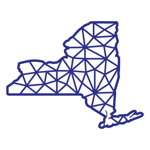
New york polygonal map PNG Design
Choose a folder
All favorites
Create new
Save
New york polygonal map PNG Design
New york map mandala PNG Design
Choose a folder
All favorites
Create new
Save
New york map mandala PNG Design
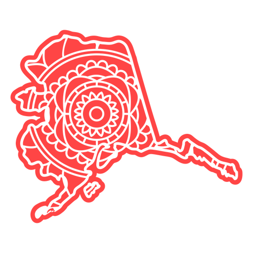
Alaska state mandala map element PNG Design
Choose a folder
All favorites
Create new
Save
Alaska state mandala map element PNG Design
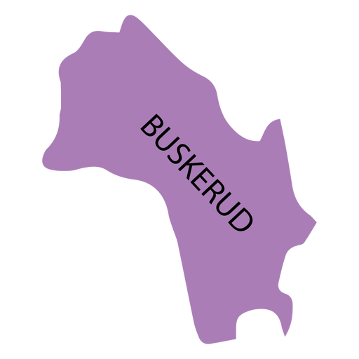
Premium
Buskerud county map PNG Design
Choose a folder
All favorites
Create new
Save
Buskerud county map PNG Design
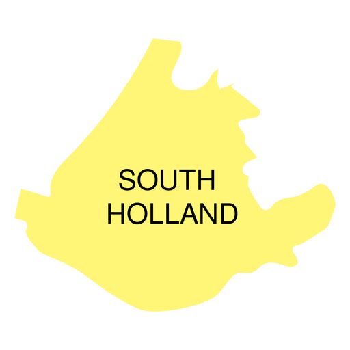
Premium
South holland province map PNG Design
Choose a folder
All favorites
Create new
Save
South holland province map PNG Design
A silhouette of the map of Saudi Arabia PNG Design
Choose a folder
All favorites
Create new
Save
A silhouette of the map of Saudi Arabia PNG Design
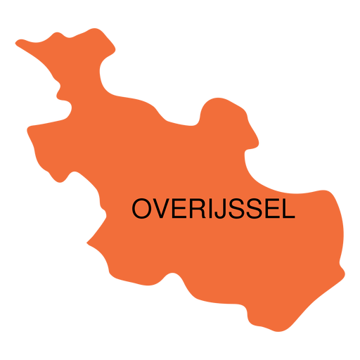
Premium
Overijssel province map PNG Design
Choose a folder
All favorites
Create new
Save
Overijssel province map PNG Design
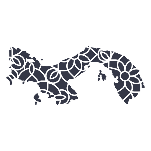
Premium
Panama's mandala map PNG Design
Choose a folder
All favorites
Create new
Save
Panama's mandala map PNG Design
Premium
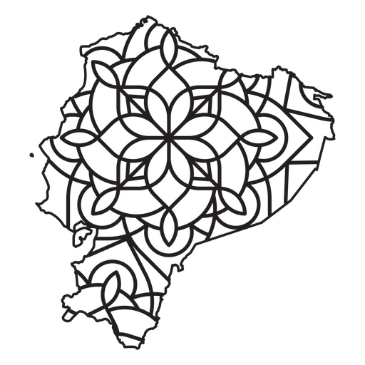
Mandala-style map shaped like Ecuador PNG Design
Choose a folder
All favorites
Create new
Save
Mandala-style map shaped like Ecuador PNG Design
A silhouette of the map of Jordan PNG Design
Choose a folder
All favorites
Create new
Save
A silhouette of the map of Jordan PNG Design
Premium
Seoul metropolitan city map PNG Design
Choose a folder
All favorites
Create new
Save
Seoul metropolitan city map PNG Design
Premium
Zeeland province map PNG Design
Choose a folder
All favorites
Create new
Save
Zeeland province map PNG Design
Premium
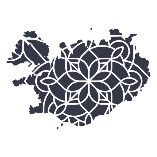
Iceland's mandala map PNG Design
Choose a folder
All favorites
Create new
Save
Iceland's mandala map PNG Design
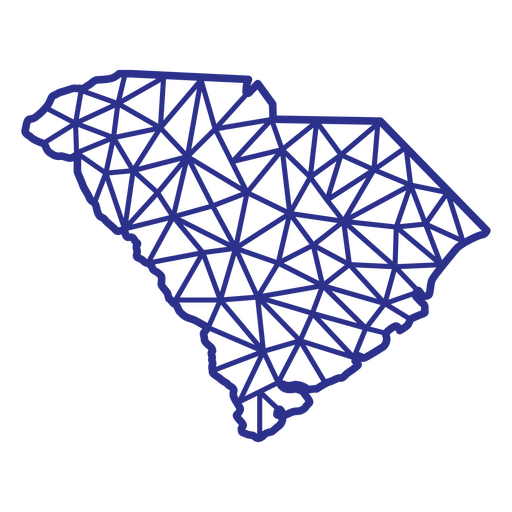
South Carolina map polygonal PNG Design
Choose a folder
All favorites
Create new
Save
South Carolina map polygonal PNG Design
Premium
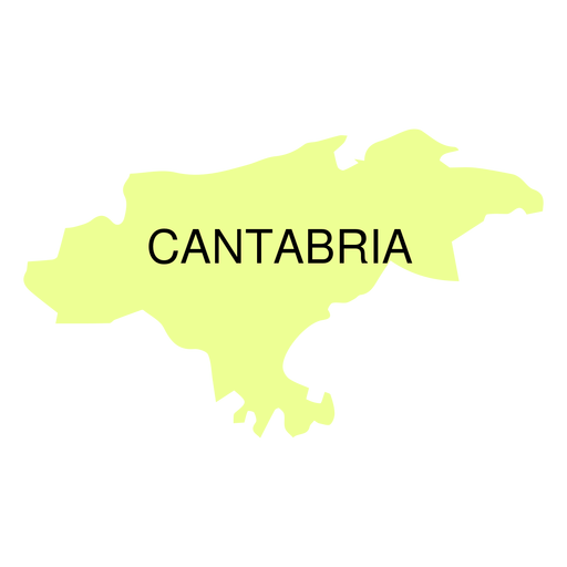
Cantabria autonomous community map PNG Design
Choose a folder
All favorites
Create new
Save
Cantabria autonomous community map PNG Design
Premium
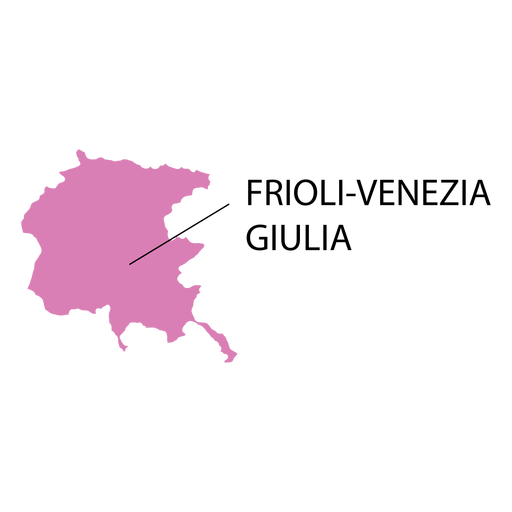
Friuli venezia giulia region map PNG Design
Choose a folder
All favorites
Create new
Save
Friuli venezia giulia region map PNG Design
Premium
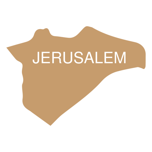
Jerusalem district map PNG Design
Choose a folder
All favorites
Create new
Save
Jerusalem district map PNG Design
Premium
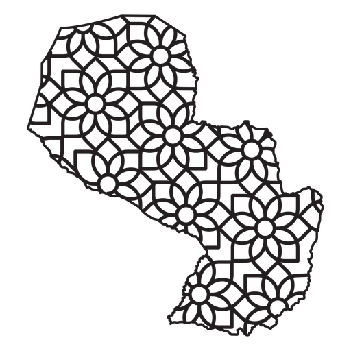
Mandala-style map shaped like Paraguay PNG Design
Choose a folder
All favorites
Create new
Save
Mandala-style map shaped like Paraguay PNG Design
A silhouette of the map of Paraguay PNG Design
Choose a folder
All favorites
Create new
Save
A silhouette of the map of Paraguay PNG Design
Boost Your Business
With The Leading Graphic Platform For Merch.
SEE PLANS
Next
of 16
prev page
next page