Design Library
Explore Designs
New Merch Designs
Trending Merch Designs
Vectors
PNGs & SVGs
Mockups
T-Shirts
T-Shirt PSD Templates
KDP Designs
Phone Cases
Pillows
Tote Bags
Posters
Mugs
Design Tools
Designer
New!
T-shirt Maker
Mockup Generator
Quote Generator
Logo Maker
Resources
Merch Digest
Blog
Help Center
Creators Program
Learn About Merch
Changelog
Pricing
Loading...
Sign Up
Login
PNGs For Merch
estados
Design Library
Explore Designs
New Merch Designs
Trending Merch Designs
Vectors
PNGs & SVGs
Mockups
T-Shirts
T-Shirt PSD Templates
KDP Designs
Phone Cases
Pillows
Tote Bags
Posters
Mugs
Design Tools
Designer
New!
T-shirt Maker
Mockup Generator
Quote Generator
Logo Maker
Resources
Merch Digest
Blog
Help Center
Creators Program
Learn About Merch
Changelog
PLANS
PNGs For Merch
estados
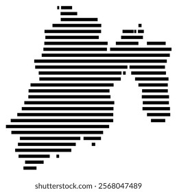
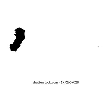
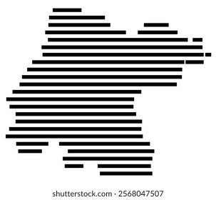
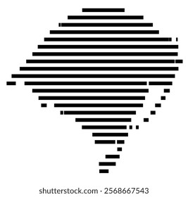
1847 estados PNG and SVG design graphic
Download estados PNG & SVG Designs with transparent background for T-Shirts, book covers, phone cases and other merch.
Sort by
Most relevant
Sponsored results by
Get 15% off with code: VEXELS15
Show more
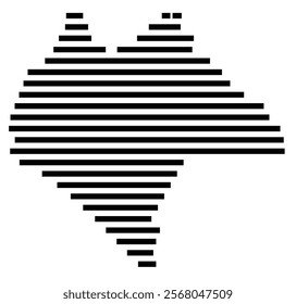
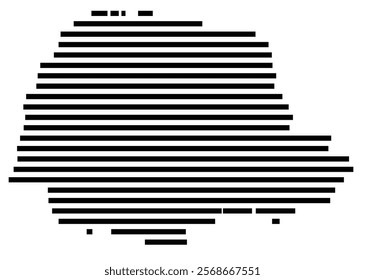
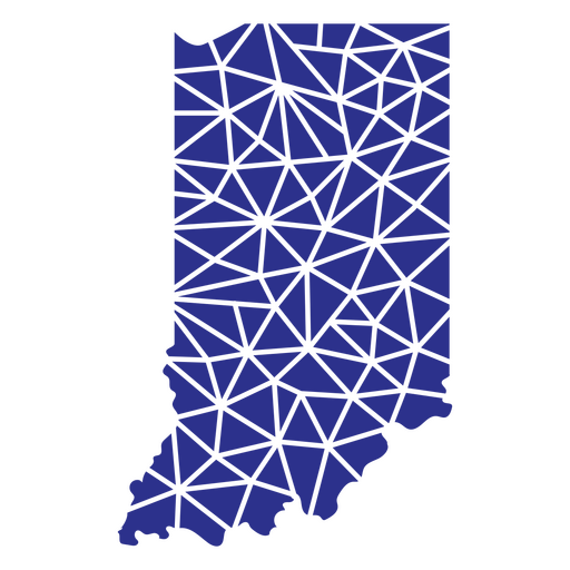
Indiana geometric states PNG Design
Choose a folder
All favorites
Create new
Save
Indiana geometric states PNG Design
Usa blue bow PNG Design
Choose a folder
All favorites
Create new
Save
Usa blue bow PNG Design
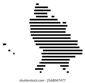
New jersey duotone states PNG Design
Choose a folder
All favorites
Create new
Save
New jersey duotone states PNG Design
Premium
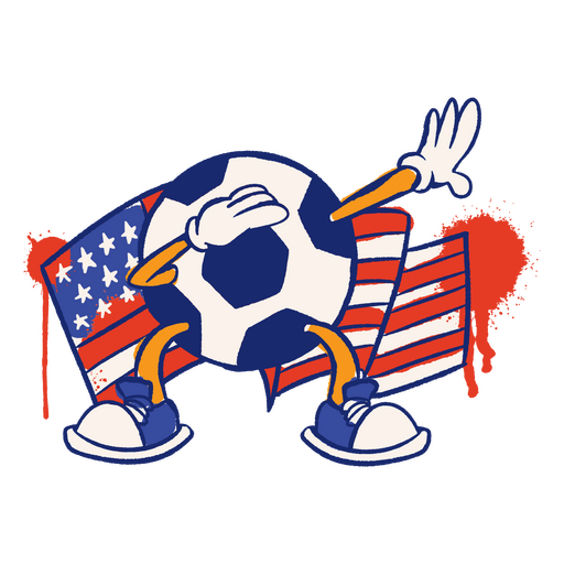
USA flag soccer ball sport character PNG Design
Choose a folder
All favorites
Create new
Save
USA flag soccer ball sport character PNG Design
Texas mandala states PNG Design
Choose a folder
All favorites
Create new
Save
Texas mandala states PNG Design
Premium
Waving usa square flag PNG Design
Choose a folder
All favorites
Create new
Save
Waving usa square flag PNG Design
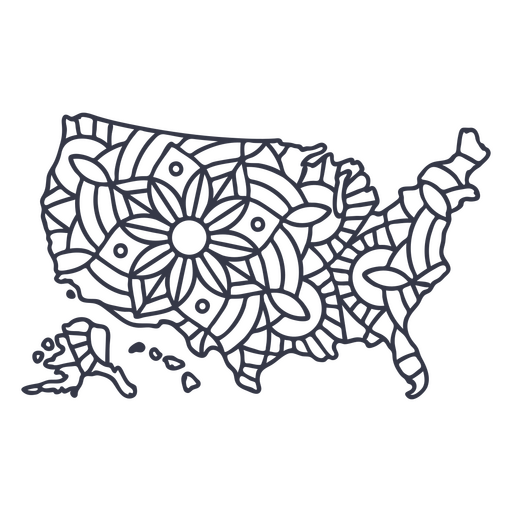
USA map silhouette mandala stroke PNG Design
Choose a folder
All favorites
Create new
Save
USA map silhouette mandala stroke PNG Design
United states election day quote PNG Design
Choose a folder
All favorites
Create new
Save
United states election day quote PNG Design
USA flag and sparks stroke PNG Design
Choose a folder
All favorites
Create new
Save
USA flag and sparks stroke PNG Design
Minnesota duotone states PNG Design
Choose a folder
All favorites
Create new
Save
Minnesota duotone states PNG Design
American football ball hand drawn PNG Design
Choose a folder
All favorites
Create new
Save
American football ball hand drawn PNG Design
Premium
Kansas lettering usa states PNG Design
Choose a folder
All favorites
Create new
Save
Kansas lettering usa states PNG Design
Premium
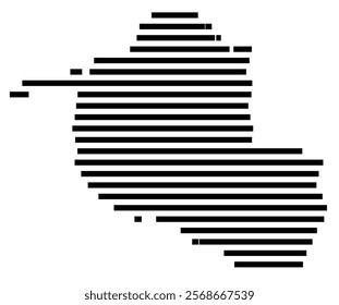
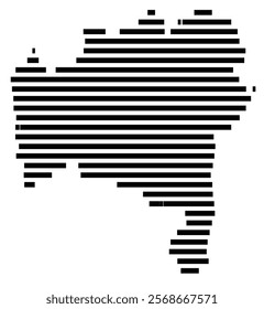
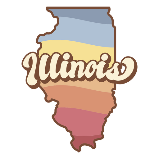
The state of illinois PNG Design
Choose a folder
All favorites
Create new
Save
The state of illinois PNG Design
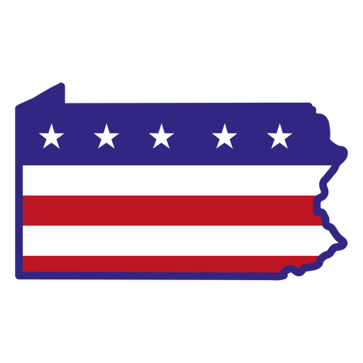
Pennsylvania color stroke states PNG Design
Choose a folder
All favorites
Create new
Save
Pennsylvania color stroke states PNG Design
Premium
United states waving flag PNG Design
Choose a folder
All favorites
Create new
Save
United states waving flag PNG Design
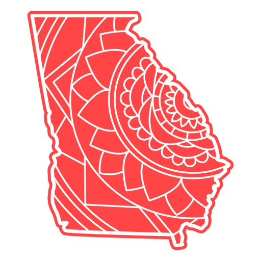
Georgia mandala states PNG Design
Choose a folder
All favorites
Create new
Save
Georgia mandala states PNG Design
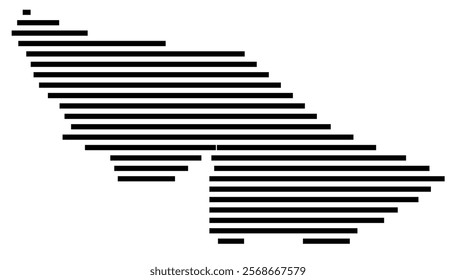
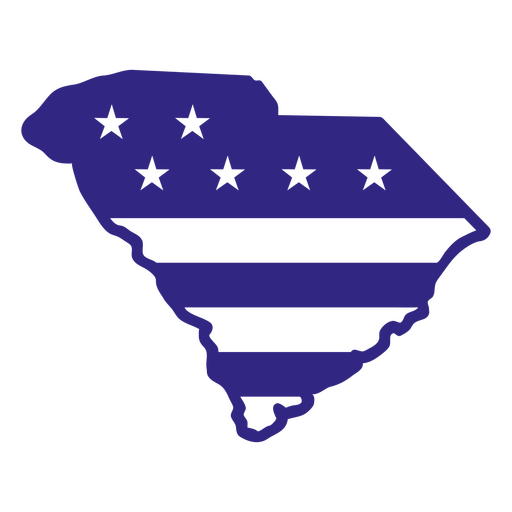
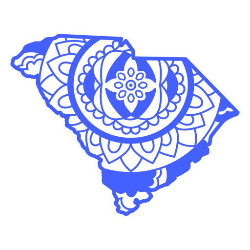
South carolina duotone states PNG Design
Choose a folder
All favorites
Create new
Save
South carolina duotone states PNG Design
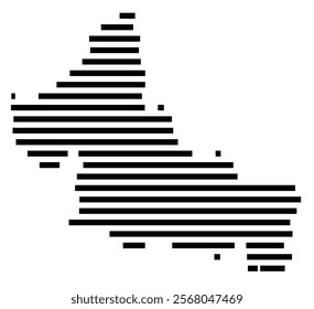
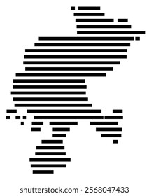
Michigan duotone states PNG Design
Choose a folder
All favorites
Create new
Save
Michigan duotone states PNG Design
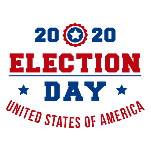
2020 election day usa lettering PNG Design
Choose a folder
All favorites
Create new
Save
2020 election day usa lettering PNG Design
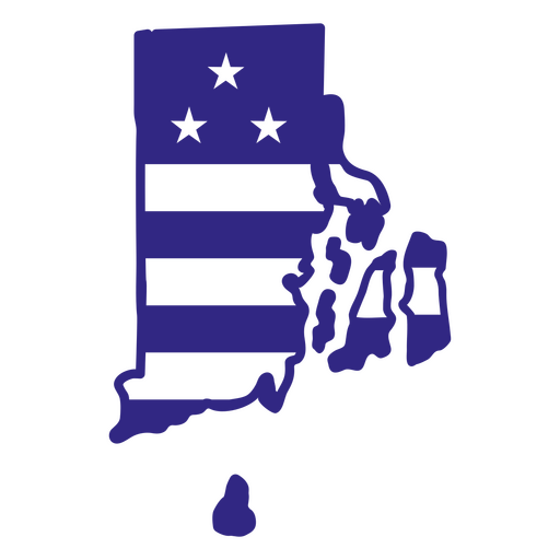
Rhode island duotone states PNG Design
Choose a folder
All favorites
Create new
Save
Rhode island duotone states PNG Design
Usa flag in country map flat PNG Design
Choose a folder
All favorites
Create new
Save
Usa flag in country map flat PNG Design
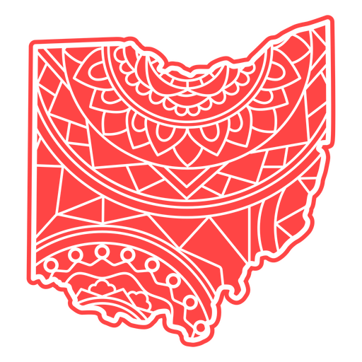
Ohio mandala states PNG Design
Choose a folder
All favorites
Create new
Save
Ohio mandala states PNG Design
Usa patriotic badge PNG Design
Choose a folder
All favorites
Create new
Save
Usa patriotic badge PNG Design
Usa flag statue of liberty PNG Design
Choose a folder
All favorites
Create new
Save
Usa flag statue of liberty PNG Design
Premium
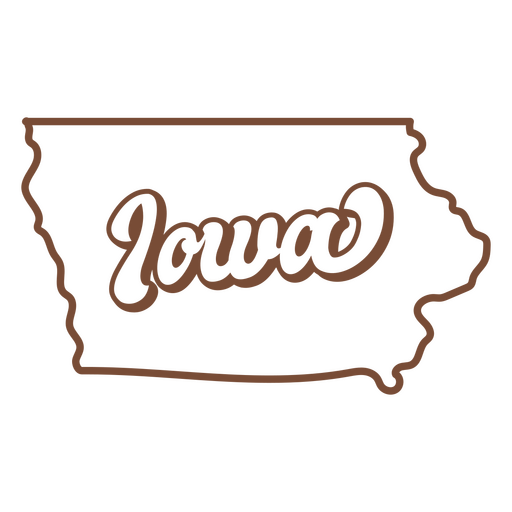
Iowa retro stroke usa states PNG Design
Choose a folder
All favorites
Create new
Save
Iowa retro stroke usa states PNG Design
Usa flag in gun flat PNG Design
Choose a folder
All favorites
Create new
Save
Usa flag in gun flat PNG Design
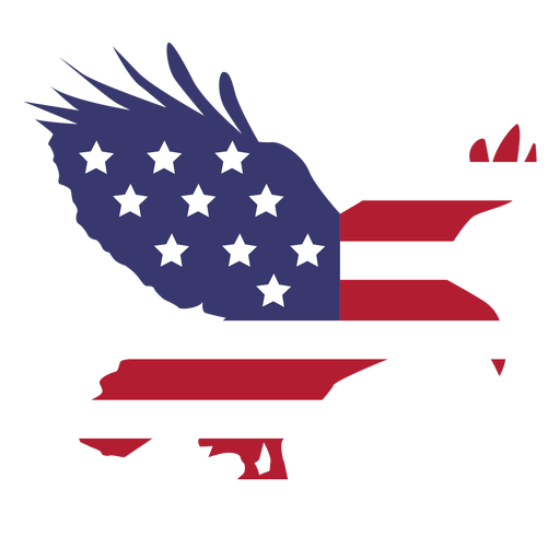
Usa flag flying eagle flat PNG Design
Choose a folder
All favorites
Create new
Save
Usa flag flying eagle flat PNG Design
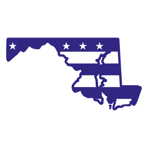
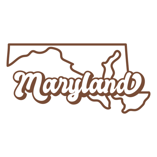
Maryland duotone states PNG Design
Choose a folder
All favorites
Create new
Save
Maryland duotone states PNG Design
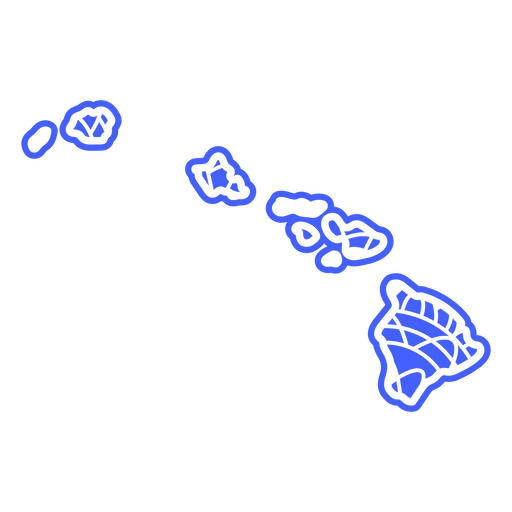
Hawaii mandala states PNG Design
Choose a folder
All favorites
Create new
Save
Hawaii mandala states PNG Design
Premium
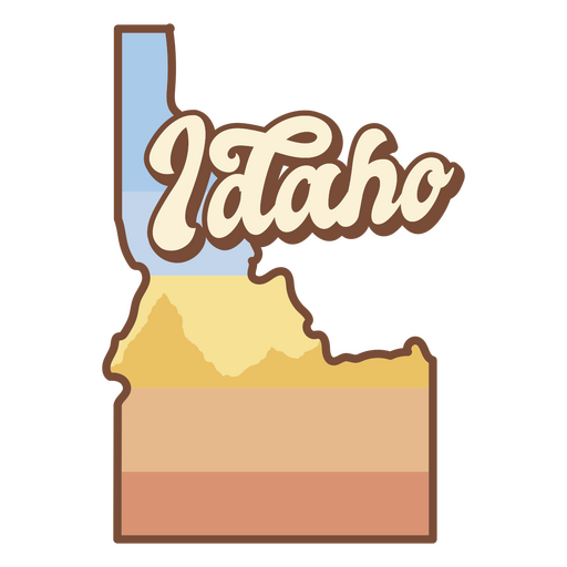
The state of idaho is shown PNG Design
Choose a folder
All favorites
Create new
Save
The state of idaho is shown PNG Design
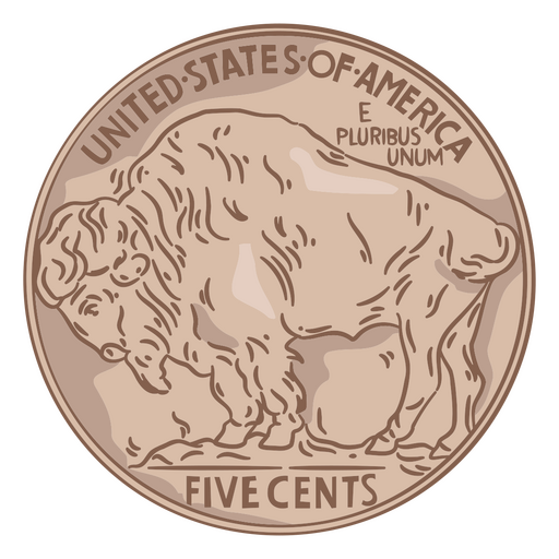
Coin illustration buffalo tail usa PNG Design
Choose a folder
All favorites
Create new
Save
Coin illustration buffalo tail usa PNG Design
Premium
Usa democrats politic vote pin PNG Design
Choose a folder
All favorites
Create new
Save
Usa democrats politic vote pin PNG Design
Kentucky duotone states PNG Design
Choose a folder
All favorites
Create new
Save
Kentucky duotone states PNG Design
Premium
Micronesia federated states national flag PNG Design
Choose a folder
All favorites
Create new
Save
Micronesia federated states national flag PNG Design
Premium
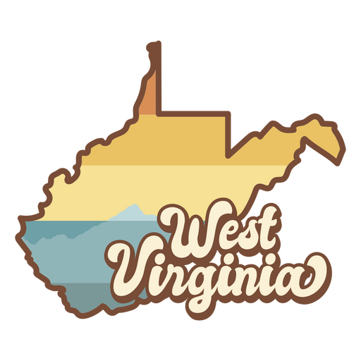
The west virginia map with the words west virginia on it PNG Design
Choose a folder
All favorites
Create new
Save
The west virginia map with the words west virginia on it PNG Design
Usa fireworks flat PNG Design
Choose a folder
All favorites
Create new
Save
Usa fireworks flat PNG Design
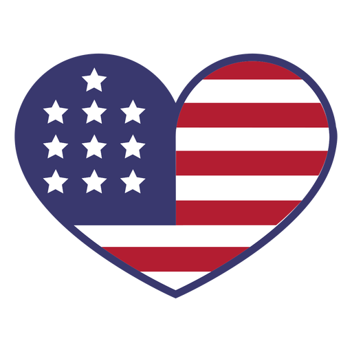
Usa flag in heart flat PNG Design
Choose a folder
All favorites
Create new
Save
Usa flag in heart flat PNG Design
South carolina mandala states PNG Design
Choose a folder
All favorites
Create new
Save
South carolina mandala states PNG Design
Premium
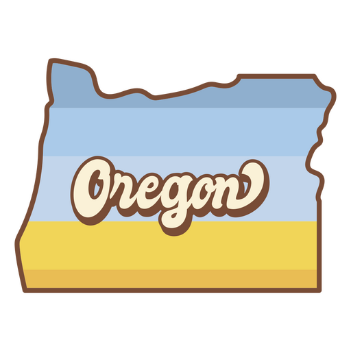
The state of oregon is shown PNG Design
Choose a folder
All favorites
Create new
Save
The state of oregon is shown PNG Design
Premium
Maryland retro stroke usa states PNG Design
Choose a folder
All favorites
Create new
Save
Maryland retro stroke usa states PNG Design
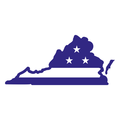
States duotone virginia PNG Design
Choose a folder
All favorites
Create new
Save
States duotone virginia PNG Design
New hampshire duotone states PNG Design
Choose a folder
All favorites
Create new
Save
New hampshire duotone states PNG Design
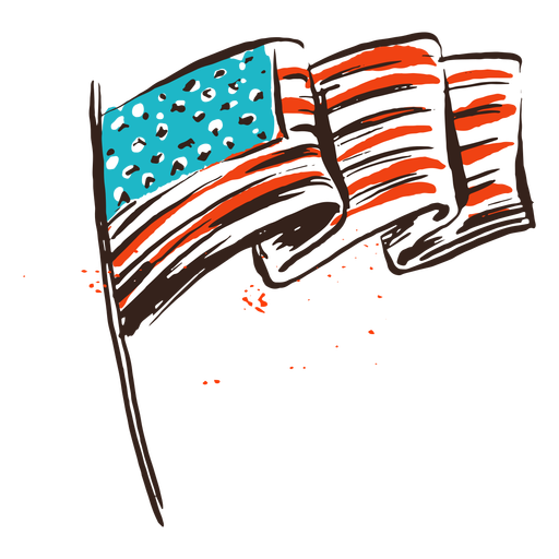
American flag vintage PNG Design
Choose a folder
All favorites
Create new
Save
American flag vintage PNG Design
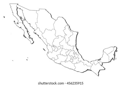
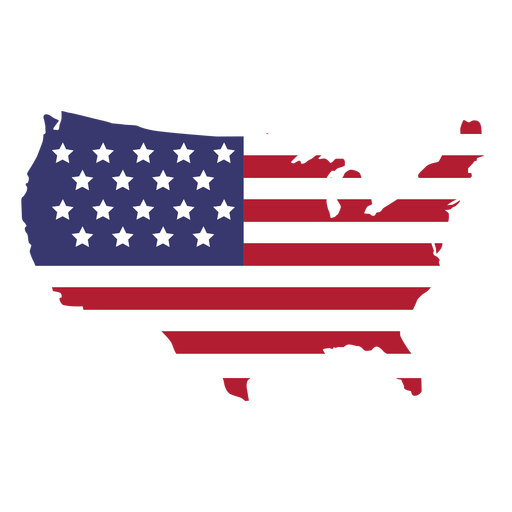
US map silhouette PNG Design
Choose a folder
All favorites
Create new
Save
US map silhouette PNG Design
Usa flag flying eagle PNG Design
Choose a folder
All favorites
Create new
Save
Usa flag flying eagle PNG Design
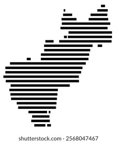
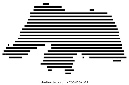
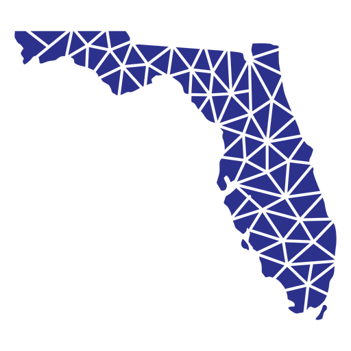
Florida geometric states PNG Design
Choose a folder
All favorites
Create new
Save
Florida geometric states PNG Design
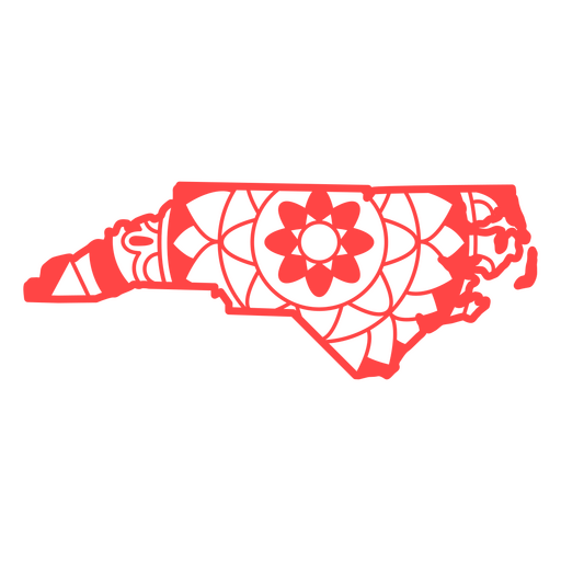
North carolina mandala states PNG Design
Choose a folder
All favorites
Create new
Save
North carolina mandala states PNG Design
Ohio color stroke states PNG Design
Choose a folder
All favorites
Create new
Save
Ohio color stroke states PNG Design
USA map silhouette mandala cut out PNG Design
Choose a folder
All favorites
Create new
Save
USA map silhouette mandala cut out PNG Design
Bold eagle hand drawn PNG Design
Choose a folder
All favorites
Create new
Save
Bold eagle hand drawn PNG Design
Boost Your Business
With The Leading Graphic Platform For Merch.
SEE PLANS
Next
of 37
prev page
next page