Design Library
Explore Designs
New Merch Designs
Trending Merch Designs
Vectors
PNGs & SVGs
Mockups
T-Shirts
T-Shirt PSD Templates
KDP Designs
Phone Cases
Pillows
Tote Bags
Posters
Mugs
Design Tools
Designer
New!
T-shirt Maker
Mockup Generator
Quote Generator
Logo Maker
Resources
Merch Digest
Blog
Help Center
Creators Program
Learn About Merch
Changelog
Pricing
Loading...
Sign Up
Login
PNGs For Merch
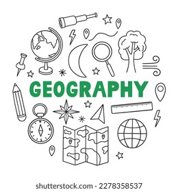
geografia
Design Library
Explore Designs
New Merch Designs
Trending Merch Designs
Vectors
PNGs & SVGs
Mockups
T-Shirts
T-Shirt PSD Templates
KDP Designs
Phone Cases
Pillows
Tote Bags
Posters
Mugs
Design Tools
Designer
New!
T-shirt Maker
Mockup Generator
Quote Generator
Logo Maker
Resources
Merch Digest
Blog
Help Center
Creators Program
Learn About Merch
Changelog
PLANS
PNGs For Merch
geografia
582 geografia PNG and SVG design graphic
Download geografia PNG & SVG Designs with transparent background for T-Shirts, book covers, phone cases and other merch.
Sort by
Most relevant
Sponsored results by
Get 15% off with code: VEXELS15
Show more
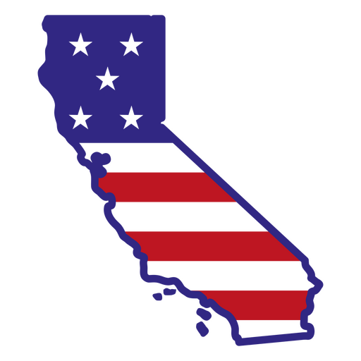
California color stroke states PNG Design
Choose a folder
All favorites
Create new
Save
California color stroke states PNG Design
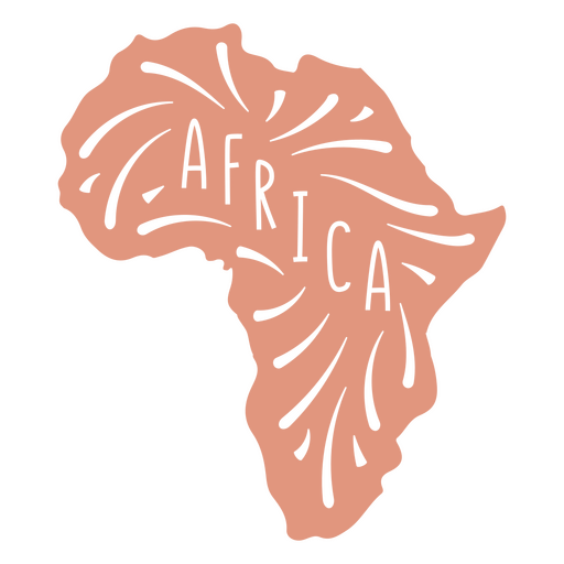
African Continent Map PNG Design
Choose a folder
All favorites
Create new
Save
African Continent Map PNG Design
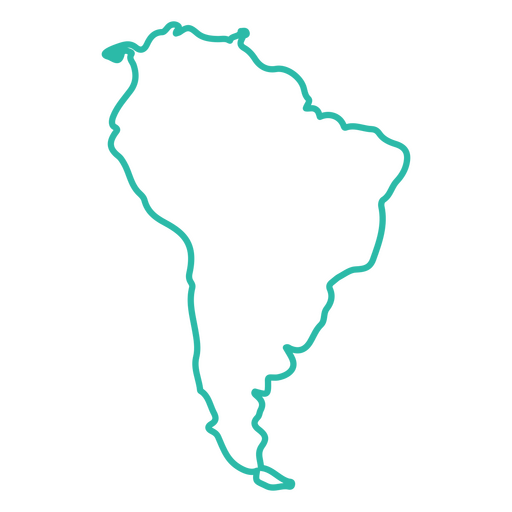
South America Continent Stroke Map PNG Design
Choose a folder
All favorites
Create new
Save
South America Continent Stroke Map PNG Design
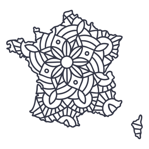
France map silhouette mandala stroke PNG Design
Choose a folder
All favorites
Create new
Save
France map silhouette mandala stroke PNG Design
New mexico color stroke states PNG Design
Choose a folder
All favorites
Create new
Save
New mexico color stroke states PNG Design
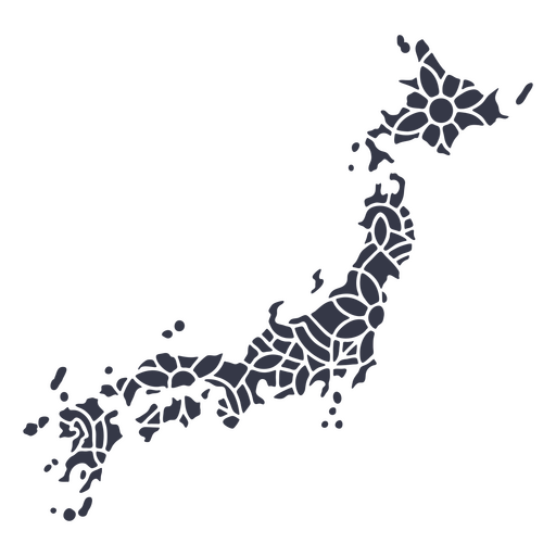
Japan map silhouette mandala cut out PNG Design
Choose a folder
All favorites
Create new
Save
Japan map silhouette mandala cut out PNG Design
Arkansas color stroke states PNG Design
Choose a folder
All favorites
Create new
Save
Arkansas color stroke states PNG Design
Premium
Colorado retro stroke usa states PNG Design
Choose a folder
All favorites
Create new
Save
Colorado retro stroke usa states PNG Design
Georgia color stroke states PNG Design
Choose a folder
All favorites
Create new
Save
Georgia color stroke states PNG Design
Premium
Maryland retro cut out usa states PNG Design
Choose a folder
All favorites
Create new
Save
Maryland retro cut out usa states PNG Design
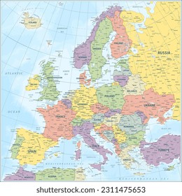
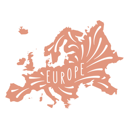
European Continent Map PNG Design
Choose a folder
All favorites
Create new
Save
European Continent Map PNG Design
World globe hand drawn PNG Design
Choose a folder
All favorites
Create new
Save
World globe hand drawn PNG Design
Premium
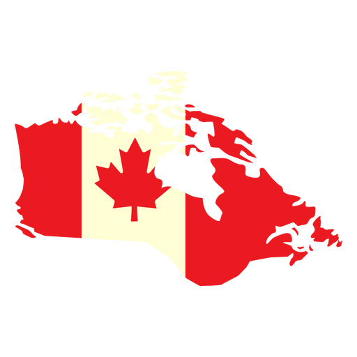
Geographic country with canada flag flat PNG Design
Choose a folder
All favorites
Create new
Save
Geographic country with canada flag flat PNG Design
A silhouette of the map of New Zealand PNG Design
Choose a folder
All favorites
Create new
Save
A silhouette of the map of New Zealand PNG Design
Connecticut color stroke states PNG Design
Choose a folder
All favorites
Create new
Save
Connecticut color stroke states PNG Design
Premium
Mandala-style map shaped like Honduras PNG Design
Choose a folder
All favorites
Create new
Save
Mandala-style map shaped like Honduras PNG Design
A silhouette of the map of Norway PNG Design
Choose a folder
All favorites
Create new
Save
A silhouette of the map of Norway PNG Design
A silhouette of the map of South Africa PNG Design
Choose a folder
All favorites
Create new
Save
A silhouette of the map of South Africa PNG Design
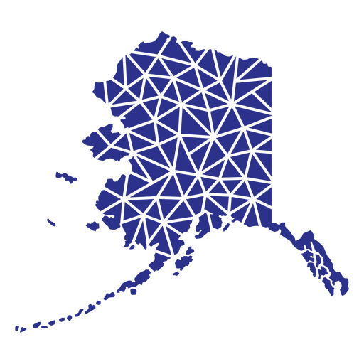
Alaska geometric states PNG Design
Choose a folder
All favorites
Create new
Save
Alaska geometric states PNG Design
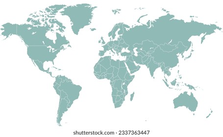
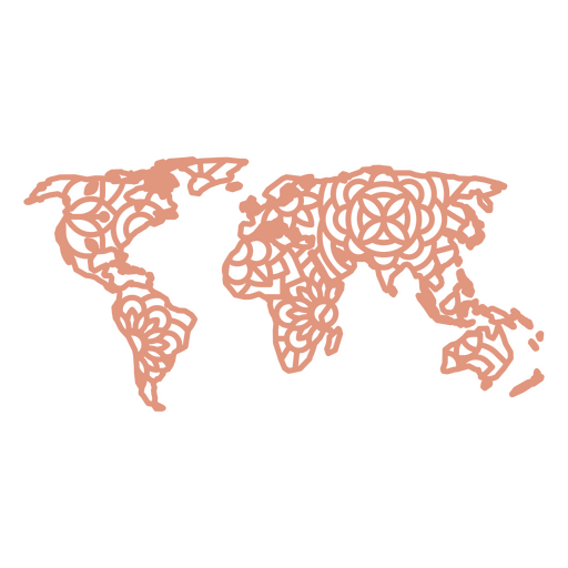
Mandala World Map PNG Design
Choose a folder
All favorites
Create new
Save
Mandala World Map PNG Design
Texas duotone states PNG Design
Choose a folder
All favorites
Create new
Save
Texas duotone states PNG Design
A silhouette of the map of Guatemala PNG Design
Choose a folder
All favorites
Create new
Save
A silhouette of the map of Guatemala PNG Design
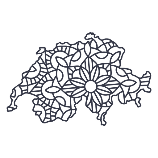
Switzerland map silhouette mandala stroke PNG Design
Choose a folder
All favorites
Create new
Save
Switzerland map silhouette mandala stroke PNG Design
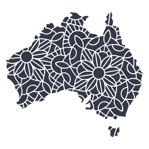
Australia map silhouette mandala cut out PNG Design
Choose a folder
All favorites
Create new
Save
Australia map silhouette mandala cut out PNG Design
Frontal compass with ribbon PNG Design
Choose a folder
All favorites
Create new
Save
Frontal compass with ribbon PNG Design
Premium
Iowa retro cut out usa states PNG Design
Choose a folder
All favorites
Create new
Save
Iowa retro cut out usa states PNG Design
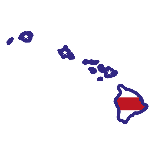
Hawaii color stroke states PNG Design
Choose a folder
All favorites
Create new
Save
Hawaii color stroke states PNG Design
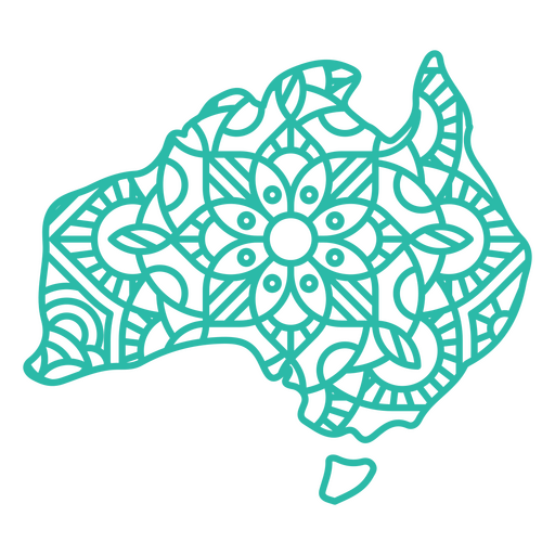
Australia Mandala Map PNG Design
Choose a folder
All favorites
Create new
Save
Australia Mandala Map PNG Design
Premium
Kansas retro stroke states usa PNG Design
Choose a folder
All favorites
Create new
Save
Kansas retro stroke states usa PNG Design
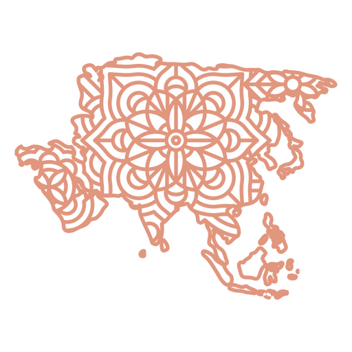
Asia Mandala Map PNG Design
Choose a folder
All favorites
Create new
Save
Asia Mandala Map PNG Design
Filled stroke open compass with leaves PNG Design
Choose a folder
All favorites
Create new
Save
Filled stroke open compass with leaves PNG Design
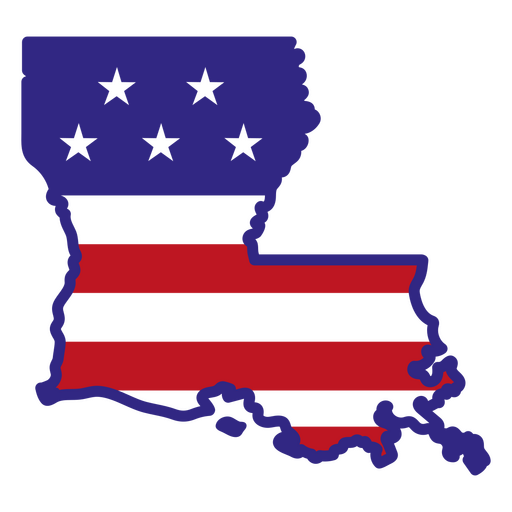
Louisiana color stroke states PNG Design
Choose a folder
All favorites
Create new
Save
Louisiana color stroke states PNG Design
Globe stroke icon PNG Design
Choose a folder
All favorites
Create new
Save
Globe stroke icon PNG Design
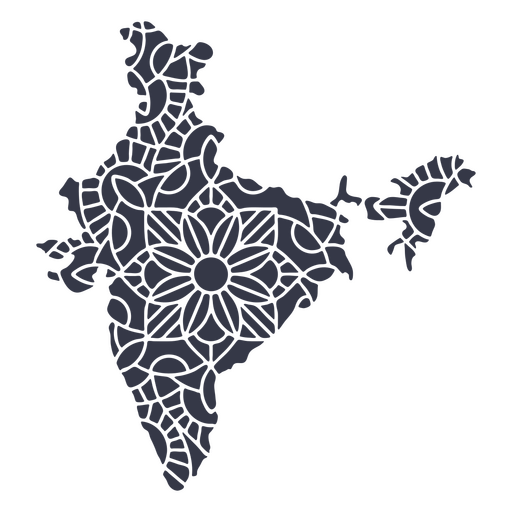
India map silhouette mandala cut out PNG Design
Choose a folder
All favorites
Create new
Save
India map silhouette mandala cut out PNG Design
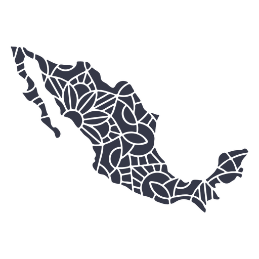
Mexico map silhouette mandala cut out PNG Design
Choose a folder
All favorites
Create new
Save
Mexico map silhouette mandala cut out PNG Design
Pennsylvania color stroke states PNG Design
Choose a folder
All favorites
Create new
Save
Pennsylvania color stroke states PNG Design
Alaska duotone states PNG Design
Choose a folder
All favorites
Create new
Save
Alaska duotone states PNG Design
Premium
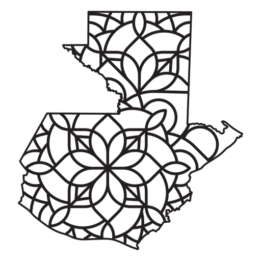
Mandala-style map shaped like Guatemala PNG Design
Choose a folder
All favorites
Create new
Save
Mandala-style map shaped like Guatemala PNG Design
Texas mandala states PNG Design
Choose a folder
All favorites
Create new
Save
Texas mandala states PNG Design
Compass filled stroke from top PNG Design
Choose a folder
All favorites
Create new
Save
Compass filled stroke from top PNG Design
Premium
Windrose arrow nord east south west line PNG Design
Choose a folder
All favorites
Create new
Save
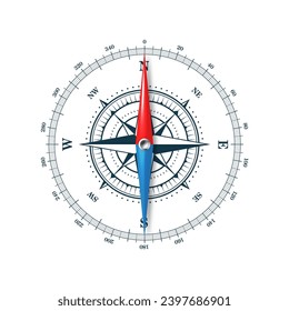
Windrose arrow nord east south west line PNG Design
Antartica Continent Stroke Map PNG Design
Choose a folder
All favorites
Create new
Save
Antartica Continent Stroke Map PNG Design
Usa flag in country map flat PNG Design
Choose a folder
All favorites
Create new
Save
Usa flag in country map flat PNG Design
A silhouette of the map of Iceland PNG Design
Choose a folder
All favorites
Create new
Save
A silhouette of the map of Iceland PNG Design
Indiana geometric states PNG Design
Choose a folder
All favorites
Create new
Save
Indiana geometric states PNG Design
A silhouette of the map of Honduras PNG Design
Choose a folder
All favorites
Create new
Save
A silhouette of the map of Honduras PNG Design
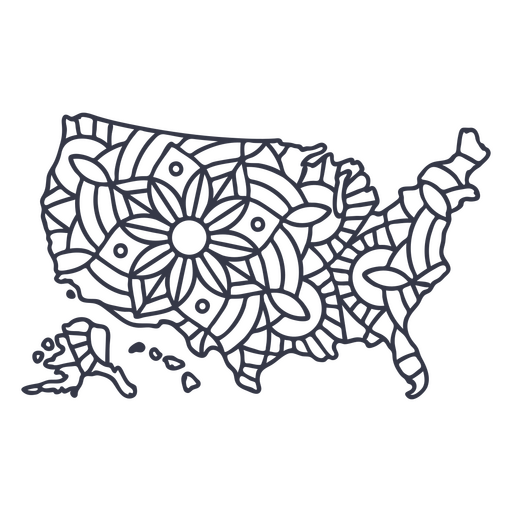
USA map silhouette mandala stroke PNG Design
Choose a folder
All favorites
Create new
Save
USA map silhouette mandala stroke PNG Design
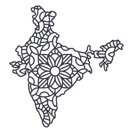
India map silhouette mandala stroke PNG Design
Choose a folder
All favorites
Create new
Save
India map silhouette mandala stroke PNG Design
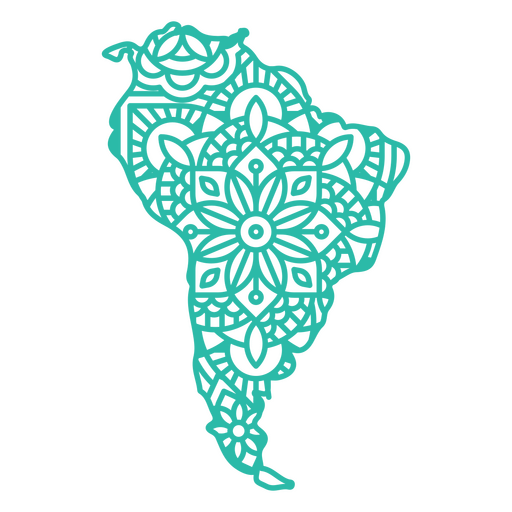
Mandala South America Map PNG Design
Choose a folder
All favorites
Create new
Save
Mandala South America Map PNG Design
New jersey duotone states PNG Design
Choose a folder
All favorites
Create new
Save
New jersey duotone states PNG Design
Boost Your Business
With The Leading Graphic Platform For Merch.
SEE PLANS
Next
of 12
prev page
next page