Design Library
Explore Designs
New Merch Designs
Trending Merch Designs
Vectors
PNGs & SVGs
Mockups
T-Shirts
T-Shirt PSD Templates
KDP Designs
Phone Cases
Pillows
Tote Bags
Posters
Mugs
Design Tools
Designer
New!
T-shirt Maker
Mockup Generator
Quote Generator
Logo Maker
Resources
Merch Digest
Blog
Help Center
Creators Program
Learn About Merch
Changelog
Pricing
Loading...
Sign Up
Login
PNGs For Merch
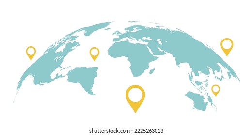
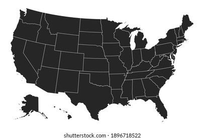
map
Design Library
Explore Designs
New Merch Designs
Trending Merch Designs
Vectors
PNGs & SVGs
Mockups
T-Shirts
T-Shirt PSD Templates
KDP Designs
Phone Cases
Pillows
Tote Bags
Posters
Mugs
Design Tools
Designer
New!
T-shirt Maker
Mockup Generator
Quote Generator
Logo Maker
Resources
Merch Digest
Blog
Help Center
Creators Program
Learn About Merch
Changelog
PLANS
PNGs For Merch
map
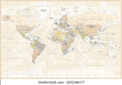
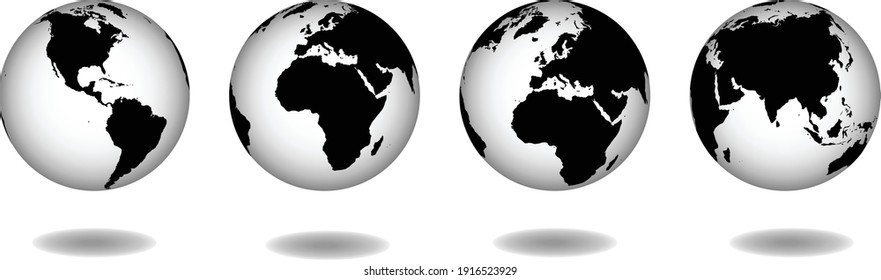
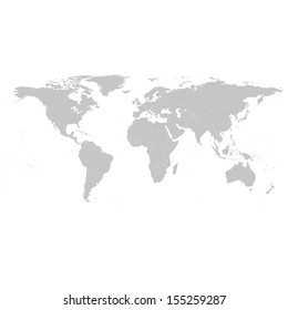
1165 map PNG and SVG design graphic
Download map PNG & SVG Designs with transparent background for T-Shirts, book covers, phone cases and other merch.
Related:
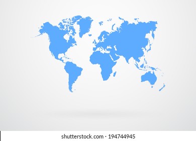
world map
,
map silhouette
Sort by
Most relevant
Sponsored results by
Get 15% off with code: VEXELS15
Show more
A silhouette of the map of Saudi Arabia PNG Design
Choose a folder
All favorites
Create new
Save
A silhouette of the map of Saudi Arabia PNG Design
A silhouette of the map of Paraguay PNG Design
Choose a folder
All favorites
Create new
Save
A silhouette of the map of Paraguay PNG Design
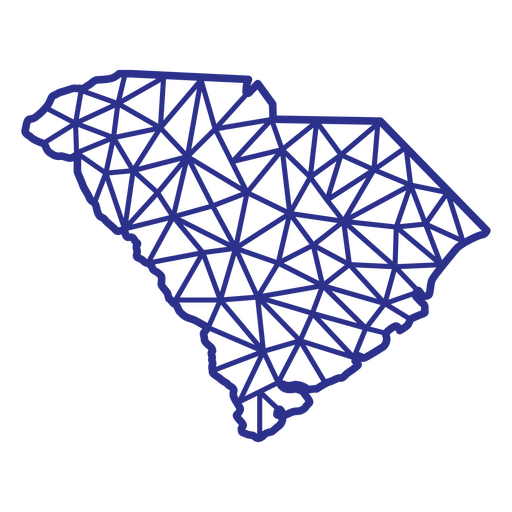
South Carolina map polygonal PNG Design
Choose a folder
All favorites
Create new
Save
South Carolina map polygonal PNG Design
Premium
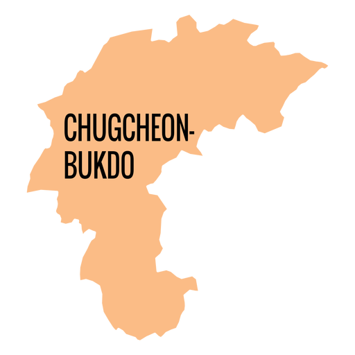
Chungcheongbuk do province map PNG Design
Choose a folder
All favorites
Create new
Save
Chungcheongbuk do province map PNG Design
Premium
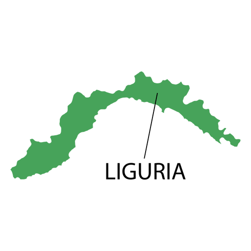
Liguria region map PNG Design
Choose a folder
All favorites
Create new
Save
Liguria region map PNG Design
Premium
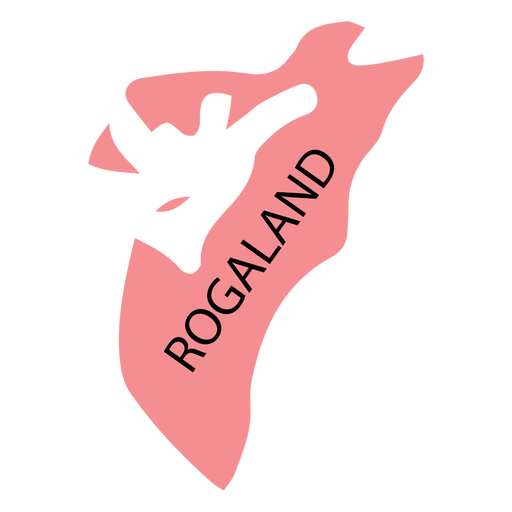
Rogaland county map PNG Design
Choose a folder
All favorites
Create new
Save
Rogaland county map PNG Design
Kansas map filled stroke PNG Design
Choose a folder
All favorites
Create new
Save
Kansas map filled stroke PNG Design
Connecticut Stars & Stripes Map PNG Design
Choose a folder
All favorites
Create new
Save
Connecticut Stars & Stripes Map PNG Design
Premium
Happy fourth of july since 1776 country map sticker PNG Design
Choose a folder
All favorites
Create new
Save
Happy fourth of july since 1776 country map sticker PNG Design
Premium
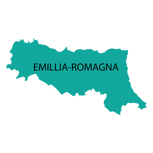
Emilia romagna region map PNG Design
Choose a folder
All favorites
Create new
Save
Emilia romagna region map PNG Design
Premium
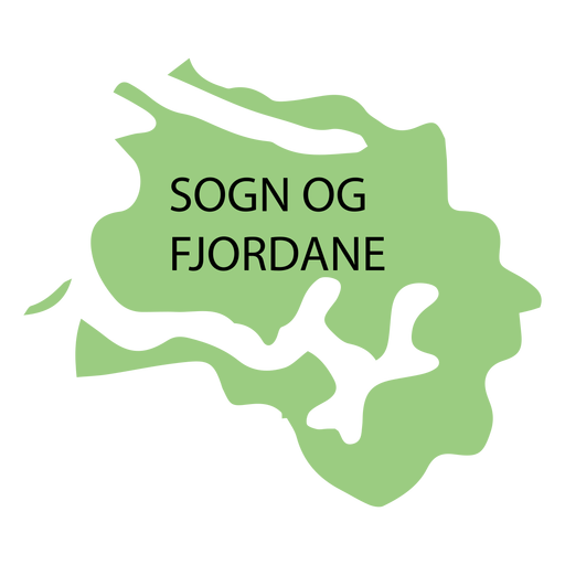
Sogn og fjordane county map PNG Design
Choose a folder
All favorites
Create new
Save
Sogn og fjordane county map PNG Design
Premium
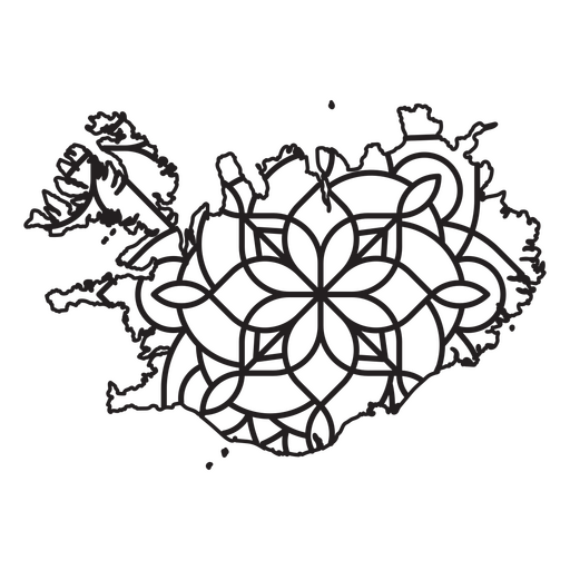
Mandala-style map shaped like Iceland PNG Design
Choose a folder
All favorites
Create new
Save
Mandala-style map shaped like Iceland PNG Design
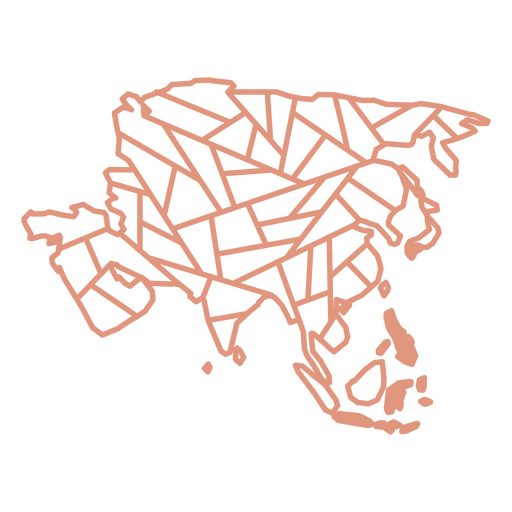
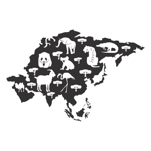
Asia geometric map continent PNG Design
Choose a folder
All favorites
Create new
Save
Asia geometric map continent PNG Design
Tennessee Mandala Map PNG Design
Choose a folder
All favorites
Create new
Save
Tennessee Mandala Map PNG Design
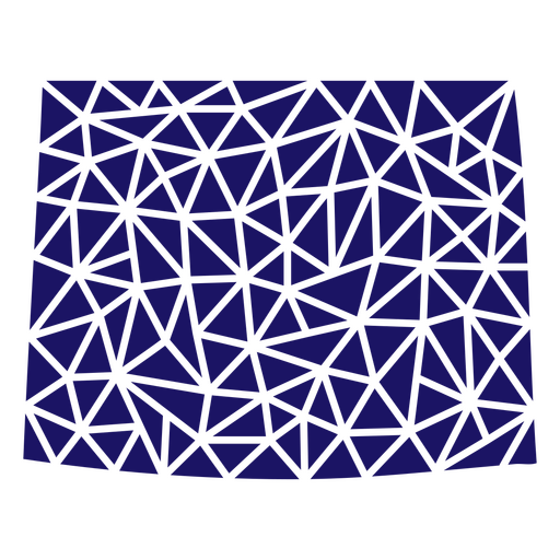
Polygonal Wyoming State Map PNG Design
Choose a folder
All favorites
Create new
Save
Polygonal Wyoming State Map PNG Design
Premium
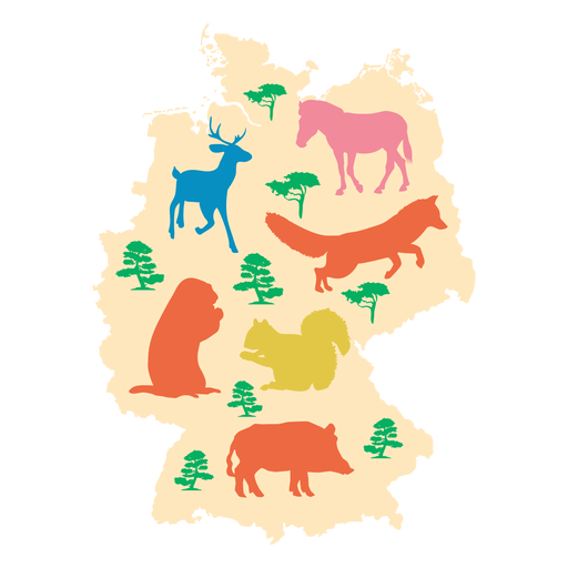
Illustrated germany map PNG Design
Choose a folder
All favorites
Create new
Save
Illustrated germany map PNG Design
Premium
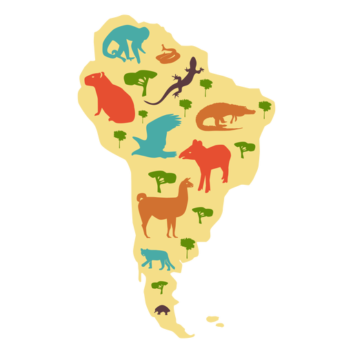
South america illustrated map PNG Design
Choose a folder
All favorites
Create new
Save
South america illustrated map PNG Design
Premium
Hand drawn camping map icon PNG Design
Choose a folder
All favorites
Create new
Save
Hand drawn camping map icon PNG Design
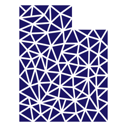
Polygonal Utah State Map PNG Design
Choose a folder
All favorites
Create new
Save
Polygonal Utah State Map PNG Design
Premium
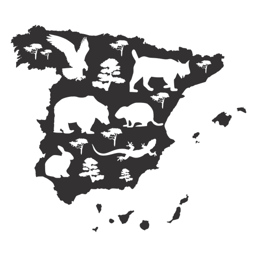
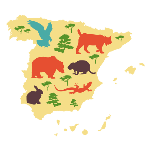
Spain map silhouette PNG Design
Choose a folder
All favorites
Create new
Save
Spain map silhouette PNG Design
Premium
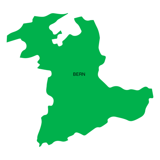
Bern canton map PNG Design
Choose a folder
All favorites
Create new
Save
Bern canton map PNG Design
Premium
Jeju self governing province map PNG Design
Choose a folder
All favorites
Create new
Save
Jeju self governing province map PNG Design
Premium
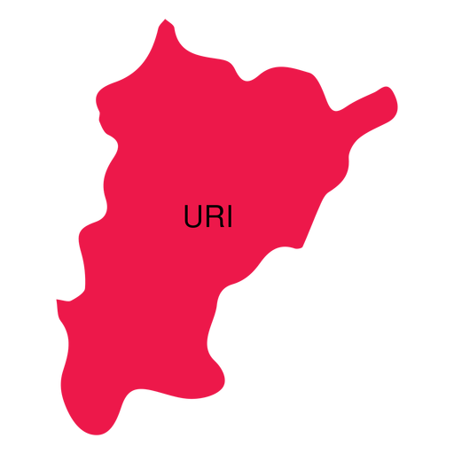
Uri canton map PNG Design
Choose a folder
All favorites
Create new
Save
Uri canton map PNG Design
Premium
Construction worker holding map PNG Design
Choose a folder
All favorites
Create new
Save
Construction worker holding map PNG Design
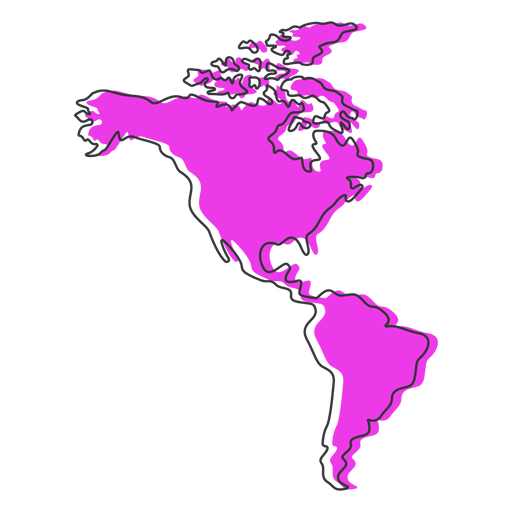
America map flat PNG Design
Choose a folder
All favorites
Create new
Save
America map flat PNG Design
Premium
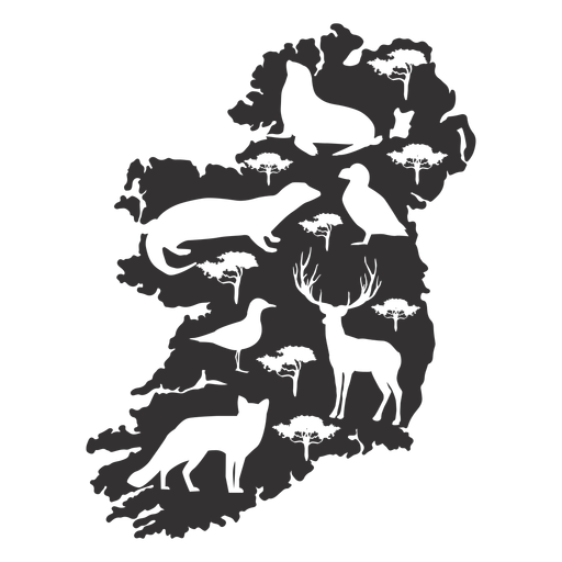
Ireland animal map silhouette PNG Design
Choose a folder
All favorites
Create new
Save
Ireland animal map silhouette PNG Design
Premium
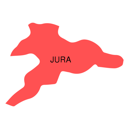
Jura canton map PNG Design
Choose a folder
All favorites
Create new
Save
Jura canton map PNG Design
Premium
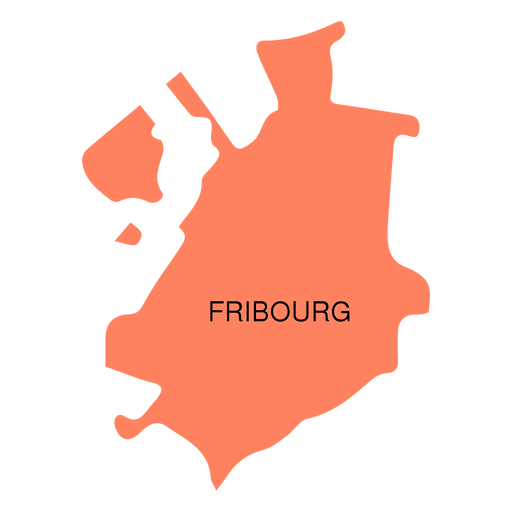
Fribourg canton map PNG Design
Choose a folder
All favorites
Create new
Save
Fribourg canton map PNG Design
Premium
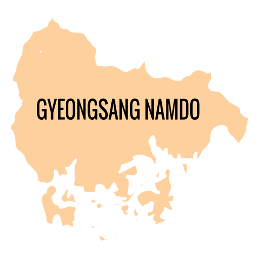
Gyeongsangnam do province map PNG Design
Choose a folder
All favorites
Create new
Save
Gyeongsangnam do province map PNG Design
Premium
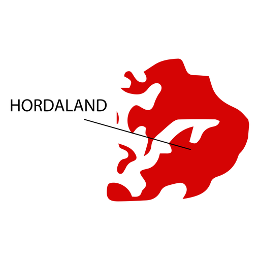
Hordaland county map PNG Design
Choose a folder
All favorites
Create new
Save
Hordaland county map PNG Design
Premium
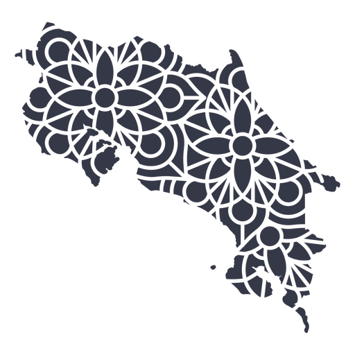
Costa Rica's mandala map PNG Design
Choose a folder
All favorites
Create new
Save
Costa Rica's mandala map PNG Design
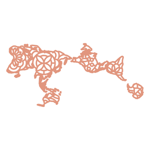
World mandala map PNG Design
Choose a folder
All favorites
Create new
Save
World mandala map PNG Design
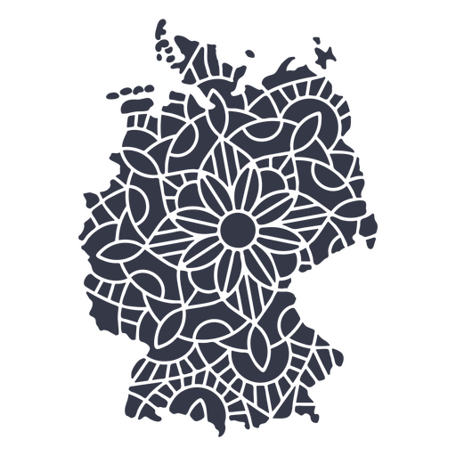
Germany map silhouette mandala cut out PNG Design
Choose a folder
All favorites
Create new
Save
Germany map silhouette mandala cut out PNG Design
Premium
Spain illustrated map PNG Design
Choose a folder
All favorites
Create new
Save
Spain illustrated map PNG Design
Premium
Akershus county map PNG Design
Choose a folder
All favorites
Create new
Save
Akershus county map PNG Design
Premium
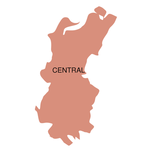
Central district map PNG Design
Choose a folder
All favorites
Create new
Save
Central district map PNG Design
Premium
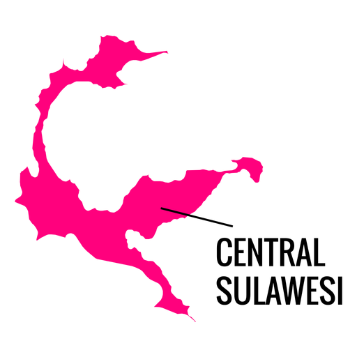
Central sulawesi province map PNG Design
Choose a folder
All favorites
Create new
Save
Central sulawesi province map PNG Design
Premium
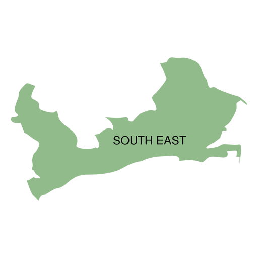
South east district map PNG Design
Choose a folder
All favorites
Create new
Save
South east district map PNG Design
Premium
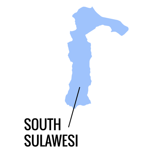
South sulawesi province map PNG Design
Choose a folder
All favorites
Create new
Save
South sulawesi province map PNG Design
Premium
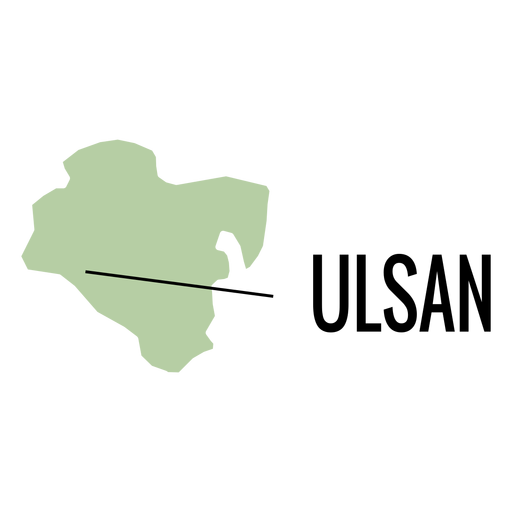
Ulsan metropolitan city map PNG Design
Choose a folder
All favorites
Create new
Save
Ulsan metropolitan city map PNG Design
Premium
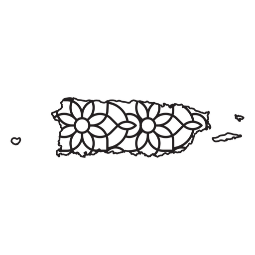
Mandala-style map shaped like Puerto Rico PNG Design
Choose a folder
All favorites
Create new
Save
Mandala-style map shaped like Puerto Rico PNG Design
Premium
Asia silhouette map PNG Design
Choose a folder
All favorites
Create new
Save
Asia silhouette map PNG Design
Premium
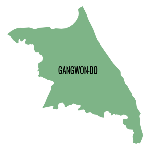
Gangwon do province map PNG Design
Choose a folder
All favorites
Create new
Save
Gangwon do province map PNG Design
Premium
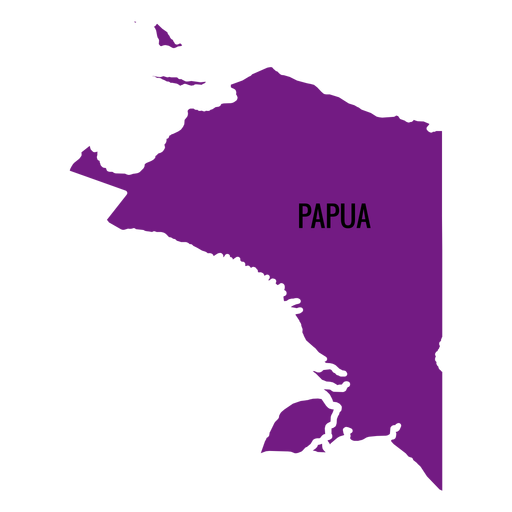
Papua province map PNG Design
Choose a folder
All favorites
Create new
Save
Papua province map PNG Design
Premium
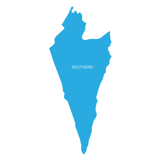
Southern israel district map PNG Design
Choose a folder
All favorites
Create new
Save
Southern israel district map PNG Design
Premium
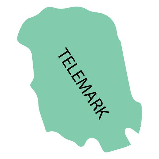
Telemark county map PNG Design
Choose a folder
All favorites
Create new
Save
Telemark county map PNG Design
Premium
Puerto Rico's mandala map PNG Design
Choose a folder
All favorites
Create new
Save
Puerto Rico's mandala map PNG Design
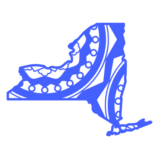
New York Mandala Map PNG Design
Choose a folder
All favorites
Create new
Save
New York Mandala Map PNG Design
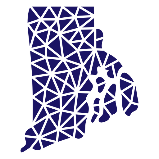
Polygonal Rhode Island Map PNG Design
Choose a folder
All favorites
Create new
Save
Polygonal Rhode Island Map PNG Design
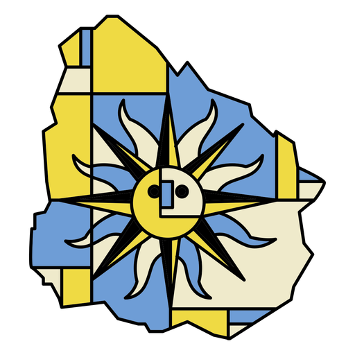
Uruguay country map abstract design PNG Design
Choose a folder
All favorites
Create new
Save
Uruguay country map abstract design PNG Design
Boost Your Business
With The Leading Graphic Platform For Merch.
SEE PLANS
Next
of 24
prev page
next page