Design Library
Explore Designs
New Merch Designs
Trending Merch Designs
Vectors
PNGs & SVGs
Mockups
T-Shirts
T-Shirt PSD Templates
KDP Designs
Phone Cases
Pillows
Tote Bags
Posters
Mugs
Design Tools
Designer
New!
T-shirt Maker
Mockup Generator
Quote Generator
Logo Maker
Resources
Merch Digest
Blog
Help Center
Creators Program
Learn About Merch
Changelog
Pricing
Loading...
Sign Up
Login
PNGs For Merch
maps
Design Library
Explore Designs
New Merch Designs
Trending Merch Designs
Vectors
PNGs & SVGs
Mockups
T-Shirts
T-Shirt PSD Templates
KDP Designs
Phone Cases
Pillows
Tote Bags
Posters
Mugs
Design Tools
Designer
New!
T-shirt Maker
Mockup Generator
Quote Generator
Logo Maker
Resources
Merch Digest
Blog
Help Center
Creators Program
Learn About Merch
Changelog
PLANS
PNGs For Merch
maps
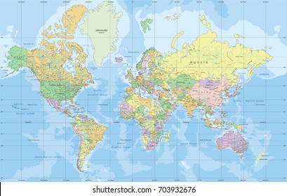
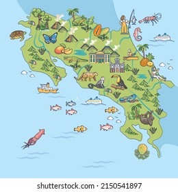
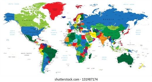
4836 maps PNG and SVG design graphic
Download maps PNG & SVG Designs with transparent background for T-Shirts, book covers, phone cases and other merch.
Related:
base maps
,
world livestock maps
,
old maps
Sort by
Most relevant
Sponsored results by
Get 15% off with code: VEXELS15
Show more
Premium
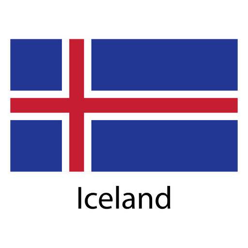
Iceland national flag PNG Design
Choose a folder
All favorites
Create new
Save
Iceland national flag PNG Design
Premium
The state of tennessee is shown PNG Design
Choose a folder
All favorites
Create new
Save
The state of tennessee is shown PNG Design
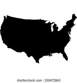
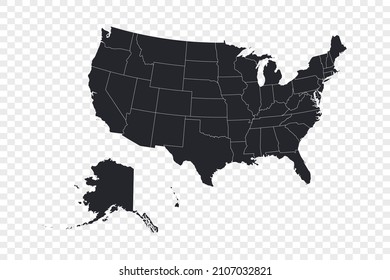
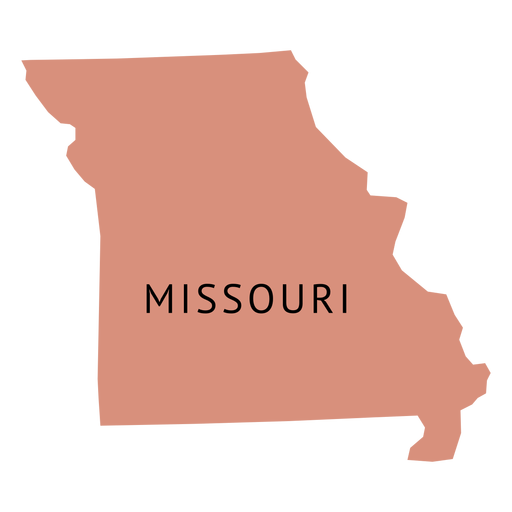
Missouri usa map silhouette PNG Design
Choose a folder
All favorites
Create new
Save
Missouri usa map silhouette PNG Design
Premium
Colorado state plain map PNG Design
Choose a folder
All favorites
Create new
Save
Colorado state plain map PNG Design
Premium
Guam national flag PNG Design
Choose a folder
All favorites
Create new
Save
Guam national flag PNG Design
Premium
The word washington in brown PNG Design
Choose a folder
All favorites
Create new
Save
The word washington in brown PNG Design
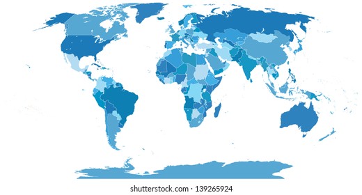
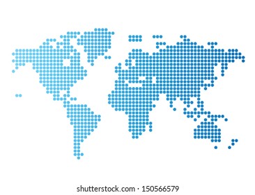
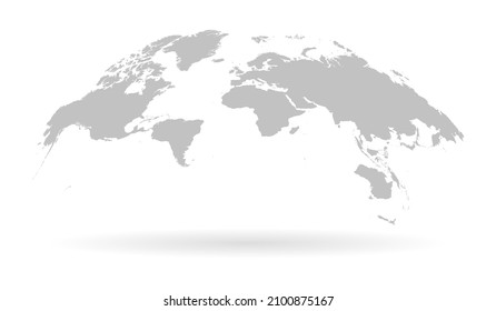
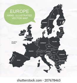
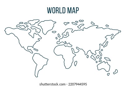
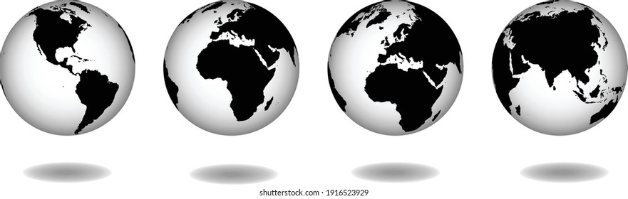
Different colored continental world map PNG Design
Choose a folder
All favorites
Create new
Save
Different colored continental world map PNG Design
Premium
The state of utah PNG Design
Choose a folder
All favorites
Create new
Save
The state of utah PNG Design
Pink letter L mandala alphabet PNG Design
Choose a folder
All favorites
Create new
Save
Pink letter L mandala alphabet PNG Design
Double axe filled stroke PNG Design
Choose a folder
All favorites
Create new
Save
Double axe filled stroke PNG Design
Premium
Minnesota state plain map PNG Design
Choose a folder
All favorites
Create new
Save
Minnesota state plain map PNG Design
Kentucky usa map silhouette PNG Design
Choose a folder
All favorites
Create new
Save
Kentucky usa map silhouette PNG Design
Premium
Colombia national flag PNG Design
Choose a folder
All favorites
Create new
Save
Colombia national flag PNG Design
Premium
Lesotho national flag PNG Design
Choose a folder
All favorites
Create new
Save
Lesotho national flag PNG Design
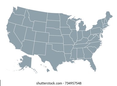
California usa map silhouette PNG Design
Choose a folder
All favorites
Create new
Save
California usa map silhouette PNG Design
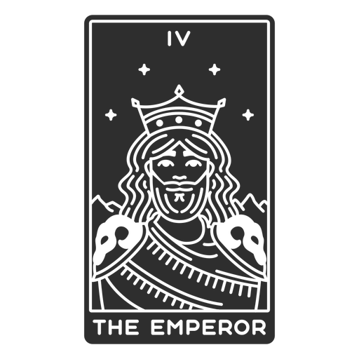
Tarot card the emperor cut out PNG Design
Choose a folder
All favorites
Create new
Save
Tarot card the emperor cut out PNG Design
Zodiac badge constellation taurus stroke PNG Design
Choose a folder
All favorites
Create new
Save
Zodiac badge constellation taurus stroke PNG Design
Premium
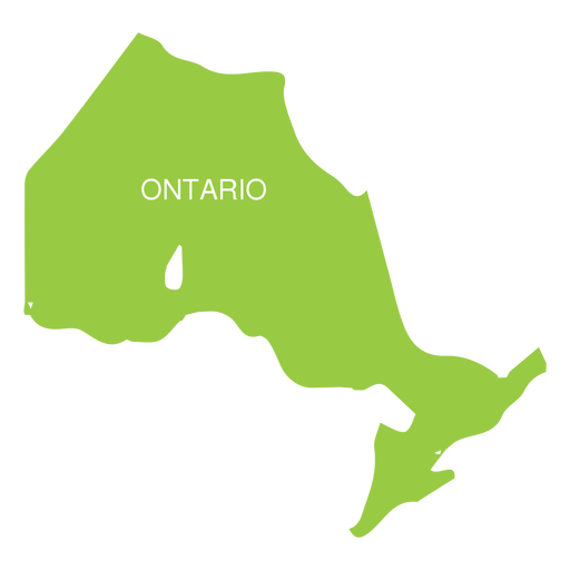
Ontario province map PNG Design
Choose a folder
All favorites
Create new
Save
Ontario province map PNG Design
Premium
India national flag PNG Design
Choose a folder
All favorites
Create new
Save
India national flag PNG Design
Premium
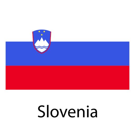
Slovenia national flag PNG Design
Choose a folder
All favorites
Create new
Save
Slovenia national flag PNG Design
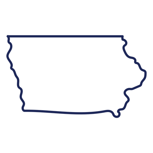
Iowa usa map stroke PNG Design
Choose a folder
All favorites
Create new
Save
Iowa usa map stroke PNG Design
Premium
Tunisia national flag PNG Design
Choose a folder
All favorites
Create new
Save
Tunisia national flag PNG Design
Black anchor cut out PNG Design
Choose a folder
All favorites
Create new
Save
Black anchor cut out PNG Design
Premium
Missouri state plain map PNG Design
Choose a folder
All favorites
Create new
Save
Missouri state plain map PNG Design
Wisconsin usa map silhouette PNG Design
Choose a folder
All favorites
Create new
Save
Wisconsin usa map silhouette PNG Design
Rain puddle stroke PNG Design
Choose a folder
All favorites
Create new
Save
Rain puddle stroke PNG Design
Maryland usa map silhouette PNG Design
Choose a folder
All favorites
Create new
Save
Maryland usa map silhouette PNG Design
Premium
Ethiopia national flag PNG Design
Choose a folder
All favorites
Create new
Save
Ethiopia national flag PNG Design
Premium
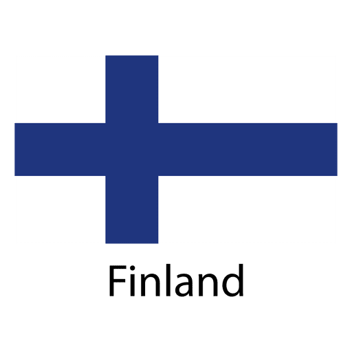
Finland national flag PNG Design
Choose a folder
All favorites
Create new
Save
Finland national flag PNG Design
Washington usa map silhouette PNG Design
Choose a folder
All favorites
Create new
Save
Washington usa map silhouette PNG Design
Michigan state stroke map PNG Design
Choose a folder
All favorites
Create new
Save
Michigan state stroke map PNG Design
Premium
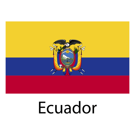
Ecuador national flag PNG Design
Choose a folder
All favorites
Create new
Save
Ecuador national flag PNG Design
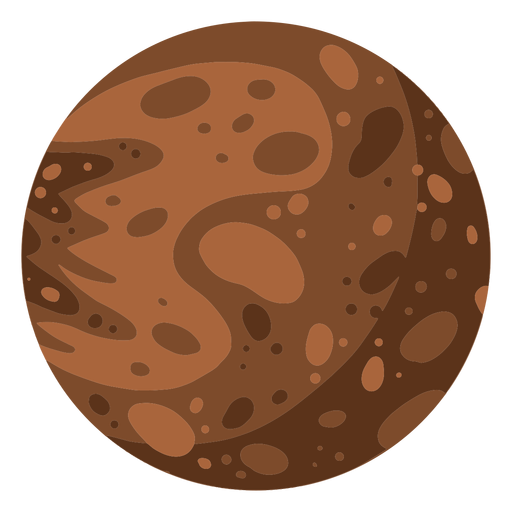
Planet mercury illustration PNG Design
Choose a folder
All favorites
Create new
Save
Planet mercury illustration PNG Design
Premium
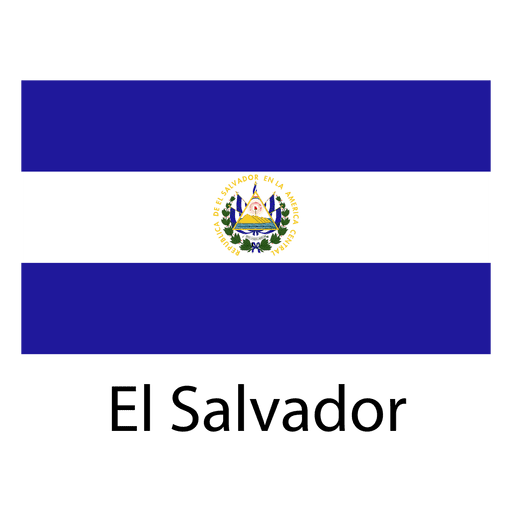
El salvador national flag PNG Design
Choose a folder
All favorites
Create new
Save
El salvador national flag PNG Design
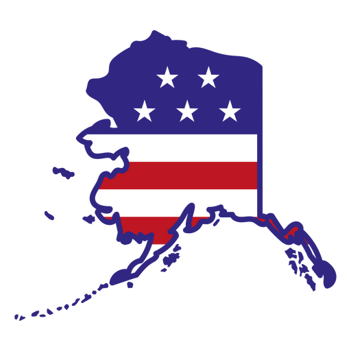
Alaska color stroke states PNG Design
Choose a folder
All favorites
Create new
Save
Alaska color stroke states PNG Design
Pennsylvania usa map silhouette PNG Design
Choose a folder
All favorites
Create new
Save
Pennsylvania usa map silhouette PNG Design
Keep up the good work bage PNG Design
Choose a folder
All favorites
Create new
Save
Keep up the good work bage PNG Design
Knife and fork silhouette PNG Design
Choose a folder
All favorites
Create new
Save
Knife and fork silhouette PNG Design
Wash machine colorful icon PNG Design
Choose a folder
All favorites
Create new
Save
Wash machine colorful icon PNG Design
Premium
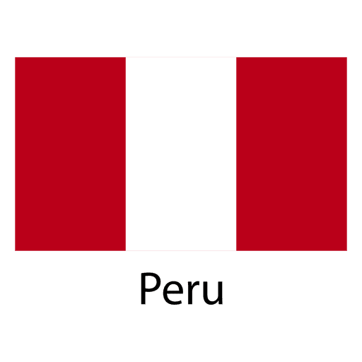
Peru national flag PNG Design
Choose a folder
All favorites
Create new
Save
Peru national flag PNG Design
Nevada usa map silhouette PNG Design
Choose a folder
All favorites
Create new
Save
Nevada usa map silhouette PNG Design
Cold temperature icon PNG Design
Choose a folder
All favorites
Create new
Save
Cold temperature icon PNG Design
Premium
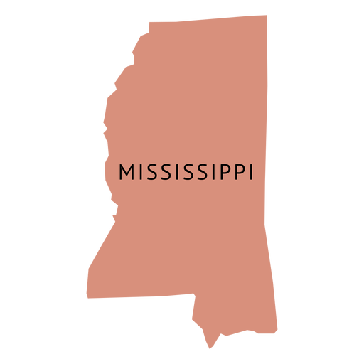
Mississippi state plain map PNG Design
Choose a folder
All favorites
Create new
Save
Mississippi state plain map PNG Design
Premium
Panama national flag PNG Design
Choose a folder
All favorites
Create new
Save
Panama national flag PNG Design
Premium
Vietnam national flag PNG Design
Choose a folder
All favorites
Create new
Save
Vietnam national flag PNG Design
Premium
Snowboarding silhouette 2.svg PNG Design
Choose a folder
All favorites
Create new
Save
Snowboarding silhouette 2.svg PNG Design
Palmchat dominican republic doodle PNG Design
Choose a folder
All favorites
Create new
Save
Palmchat dominican republic doodle PNG Design
Premium
Eiffel tower silhouette PNG Design
Choose a folder
All favorites
Create new
Save
Eiffel tower silhouette PNG Design
Premium
Malaysia national flag PNG Design
Choose a folder
All favorites
Create new
Save
Malaysia national flag PNG Design
Premium
Nigeria national flag PNG Design
Choose a folder
All favorites
Create new
Save
Nigeria national flag PNG Design
Boost Your Business
With The Leading Graphic Platform For Merch.
SEE PLANS
Next
of 97
prev page
next page