Design Library
Explore Designs
New Merch Designs
Trending Merch Designs
Vectors
PNGs & SVGs
Mockups
T-Shirts
T-Shirt PSD Templates
KDP Designs
Phone Cases
Pillows
Tote Bags
Posters
Mugs
Design Tools
Designer
New!
T-shirt Maker
Mockup Generator
Quote Generator
Logo Maker
Resources
Merch Digest
Blog
Help Center
Creators Program
Learn About Merch
Changelog
Pricing
Loading...
Sign Up
Login
PNGs For Merch
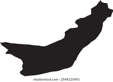
norte
Design Library
Explore Designs
New Merch Designs
Trending Merch Designs
Vectors
PNGs & SVGs
Mockups
T-Shirts
T-Shirt PSD Templates
KDP Designs
Phone Cases
Pillows
Tote Bags
Posters
Mugs
Design Tools
Designer
New!
T-shirt Maker
Mockup Generator
Quote Generator
Logo Maker
Resources
Merch Digest
Blog
Help Center
Creators Program
Learn About Merch
Changelog
PLANS
PNGs For Merch
norte
414 norte PNG and SVG design graphic
Download norte PNG & SVG Designs with transparent background for T-Shirts, book covers, phone cases and other merch.
Sort by
Most relevant
Sponsored results by
Get 15% off with code: VEXELS15
Show more
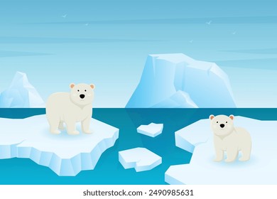
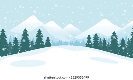
Christmas north pole stamp lettering PNG Design
Choose a folder
All favorites
Create new
Save
Christmas north pole stamp lettering PNG Design
Premium
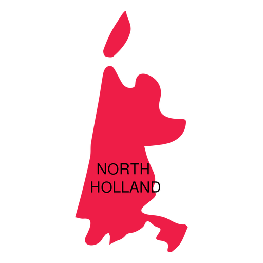
North holland province map PNG Design
Choose a folder
All favorites
Create new
Save
North holland province map PNG Design
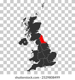
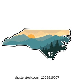
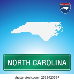
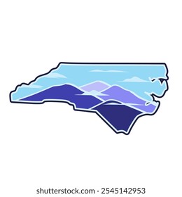
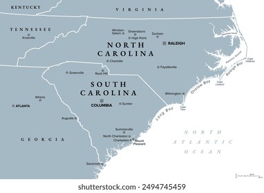
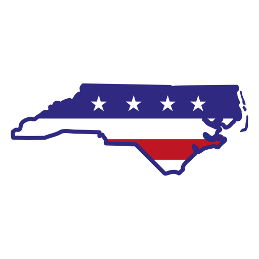
North carolina color stroke states PNG Design
Choose a folder
All favorites
Create new
Save
North carolina color stroke states PNG Design
Premium
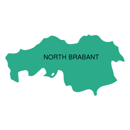
North brabant province map PNG Design
Choose a folder
All favorites
Create new
Save
North brabant province map PNG Design
Premium
Northern cardinal drawing PNG Design
Choose a folder
All favorites
Create new
Save
Northern cardinal drawing PNG Design
Christmas north pole snowglobe icon stroke PNG Design
Choose a folder
All favorites
Create new
Save
Christmas north pole snowglobe icon stroke PNG Design
Premium
Turkish republic of northern cyprus national flag PNG Design
Choose a folder
All favorites
Create new
Save
Turkish republic of northern cyprus national flag PNG Design
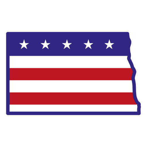
North dakota color stroke states PNG Design
Choose a folder
All favorites
Create new
Save
North dakota color stroke states PNG Design
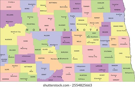
North Dakota state stroke map PNG Design
Choose a folder
All favorites
Create new
Save
North Dakota state stroke map PNG Design
Christmas north pole snowglobe icon PNG Design
Choose a folder
All favorites
Create new
Save
Christmas north pole snowglobe icon PNG Design
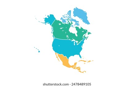
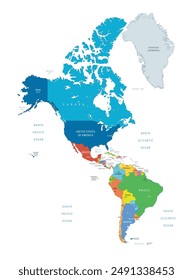
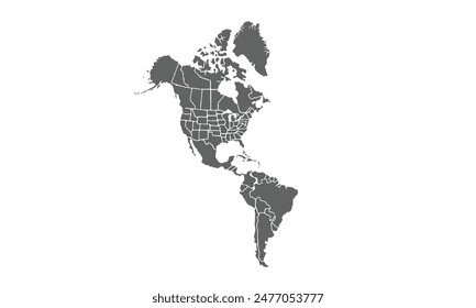
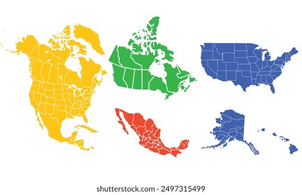
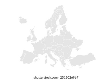
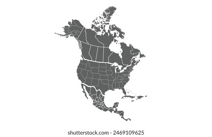
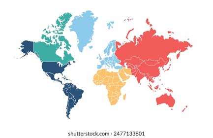
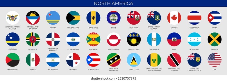
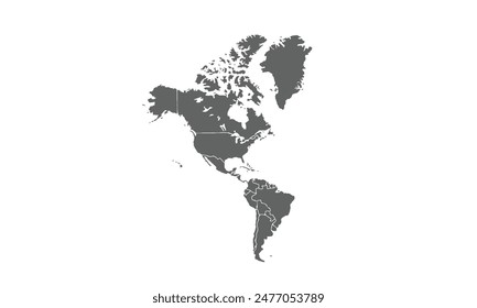
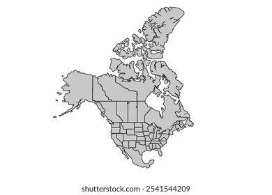
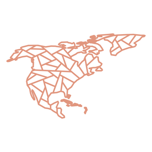
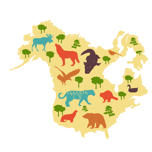
North America Geometric Map PNG Design
Choose a folder
All favorites
Create new
Save
North America Geometric Map PNG Design
Premium
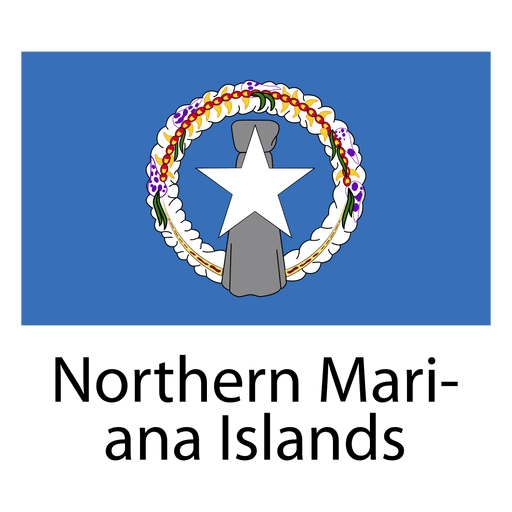
Northern mariana islands national flag PNG Design
Choose a folder
All favorites
Create new
Save
Northern mariana islands national flag PNG Design
Premium
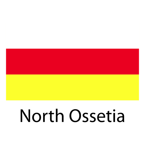
North ossetia national flag PNG Design
Choose a folder
All favorites
Create new
Save
North ossetia national flag PNG Design
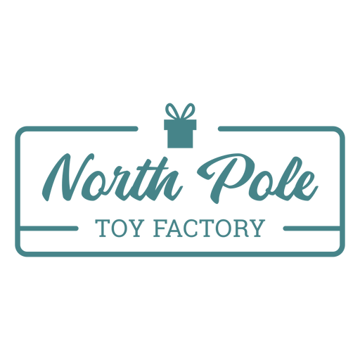
North pole toy factory deliver by dec 25th badge sticker PNG Design
Choose a folder
All favorites
Create new
Save
North pole toy factory deliver by dec 25th badge sticker PNG Design
Premium
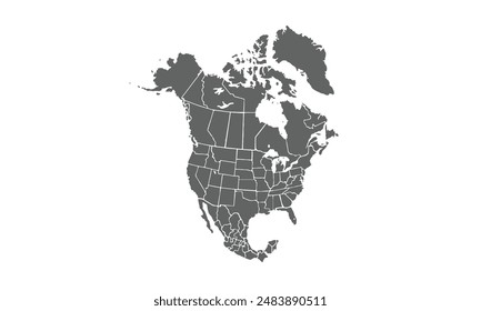
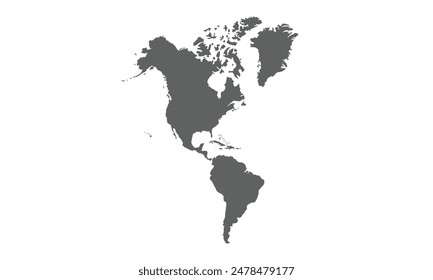
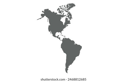
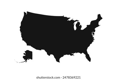
North america silhouette map PNG Design
Choose a folder
All favorites
Create new
Save
North america silhouette map PNG Design
Premium
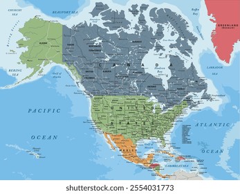
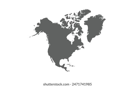
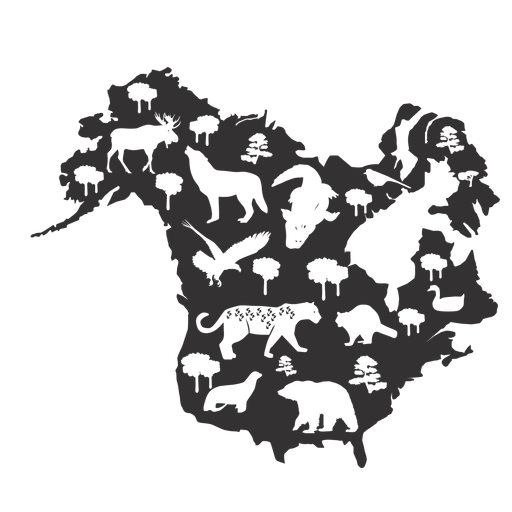
North america illustrated map PNG Design
Choose a folder
All favorites
Create new
Save
North america illustrated map PNG Design
Premium
North maluku province map PNG Design
Choose a folder
All favorites
Create new
Save
North maluku province map PNG Design
Premium
North pole stripe hand drawn icon 9 PNG Design
Choose a folder
All favorites
Create new
Save
North pole stripe hand drawn icon 9 PNG Design
Premium
North pole stripe hand drawn cartoon icon 12 PNG Design
Choose a folder
All favorites
Create new
Save
North pole stripe hand drawn cartoon icon 12 PNG Design
Premium
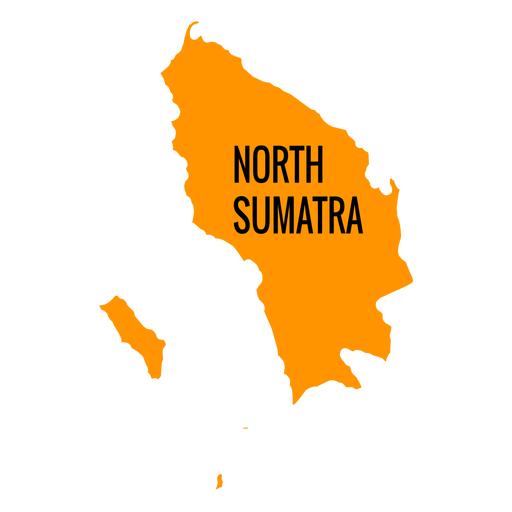
North sumatra province map PNG Design
Choose a folder
All favorites
Create new
Save
North sumatra province map PNG Design
Premium
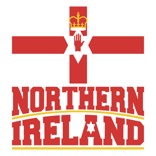
Northern Ireland soccer team flag PNG Design
Choose a folder
All favorites
Create new
Save
Northern Ireland soccer team flag PNG Design
Premium
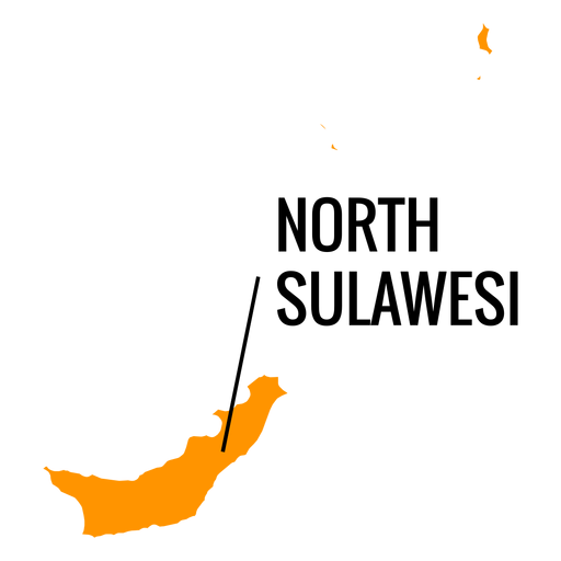
North sulawesi province map PNG Design
Choose a folder
All favorites
Create new
Save
North sulawesi province map PNG Design
Premium
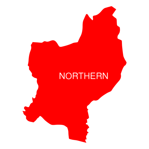
Northern israel district map PNG Design
Choose a folder
All favorites
Create new
Save
Northern israel district map PNG Design
Premium
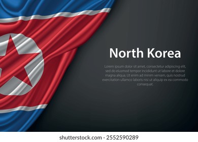
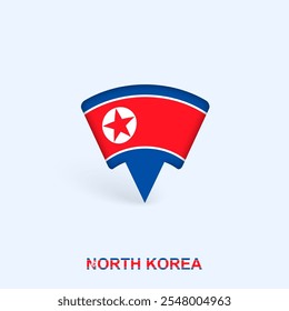
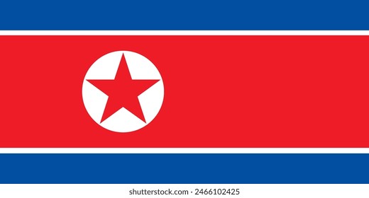
North Korea soccer team flag sticker PNG Design
Choose a folder
All favorites
Create new
Save
North Korea soccer team flag sticker PNG Design
North dakota duotone states PNG Design
Choose a folder
All favorites
Create new
Save
North dakota duotone states PNG Design
North carolina duotone states PNG Design
Choose a folder
All favorites
Create new
Save
North carolina duotone states PNG Design
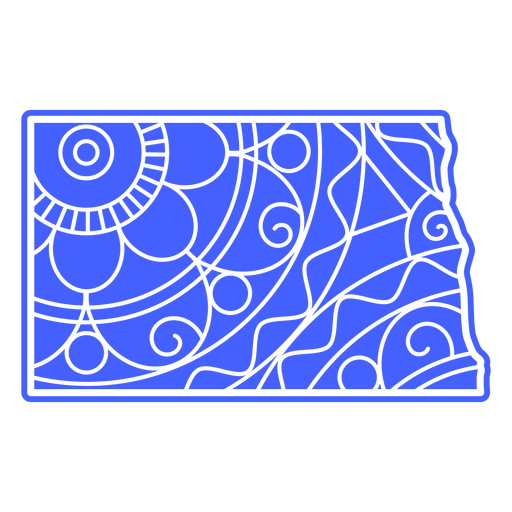
North dakota mandala states PNG Design
Choose a folder
All favorites
Create new
Save
North dakota mandala states PNG Design
States mandala north dakota PNG Design
Choose a folder
All favorites
Create new
Save
States mandala north dakota PNG Design
Premium
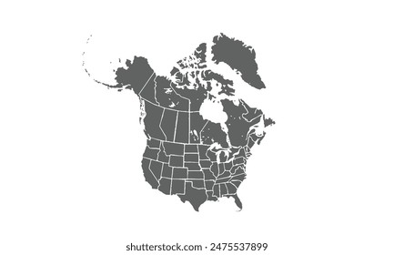
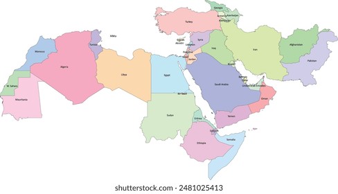
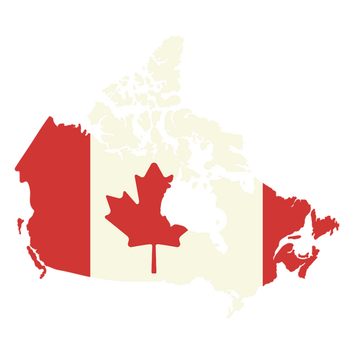
Map of canada with the canadian flag on it PNG Design
Choose a folder
All favorites
Create new
Save
Map of canada with the canadian flag on it PNG Design
Premium
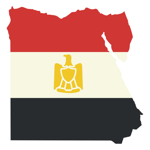
Map of egypt with the egyptian flag PNG Design
Choose a folder
All favorites
Create new
Save
Map of egypt with the egyptian flag PNG Design
Premium
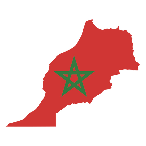
The flag of morocco PNG Design
Choose a folder
All favorites
Create new
Save
The flag of morocco PNG Design
Premium
The flag of tunisia PNG Design
Choose a folder
All favorites
Create new
Save
The flag of tunisia PNG Design
Michigan state stroke map PNG Design
Choose a folder
All favorites
Create new
Save
Michigan state stroke map PNG Design
Filled stroke compass directions PNG Design
Choose a folder
All favorites
Create new
Save
Filled stroke compass directions PNG Design
Premium
Compass directions filled stroke PNG Design
Choose a folder
All favorites
Create new
Save
Compass directions filled stroke PNG Design
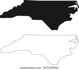
North carolina usa map silhouette PNG Design
Choose a folder
All favorites
Create new
Save
North carolina usa map silhouette PNG Design
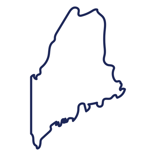
Maine state stroke map PNG Design
Choose a folder
All favorites
Create new
Save
Maine state stroke map PNG Design
Premium
Compass black icon PNG Design
Choose a folder
All favorites
Create new
Save
Compass black icon PNG Design
Premium
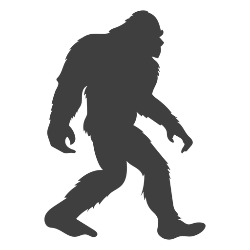
Sasquatch bigfoot flat black PNG Design
Choose a folder
All favorites
Create new
Save
Sasquatch bigfoot flat black PNG Design
Premium
Ohio state stroke map PNG Design
Choose a folder
All favorites
Create new
Save
Ohio state stroke map PNG Design
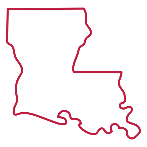
Louisiana state stroke map PNG Design
Choose a folder
All favorites
Create new
Save
Louisiana state stroke map PNG Design
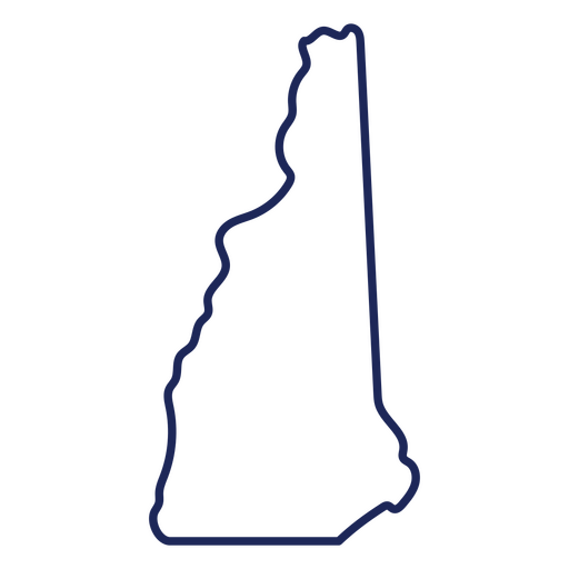
New Hampshire state stroke map PNG Design
Choose a folder
All favorites
Create new
Save
New Hampshire state stroke map PNG Design
Christmas North Pole Express badge PNG Design
Choose a folder
All favorites
Create new
Save
Christmas North Pole Express badge PNG Design
Christmas North Pole overnight delivery badge PNG Design
Choose a folder
All favorites
Create new
Save
Christmas North Pole overnight delivery badge PNG Design
North Pole overnight service badge PNG Design
Choose a folder
All favorites
Create new
Save
North Pole overnight service badge PNG Design
Christmas North Pole badge PNG Design
Choose a folder
All favorites
Create new
Save
Christmas North Pole badge PNG Design
North Dakota usa map silhouette PNG Design
Choose a folder
All favorites
Create new
Save
North Dakota usa map silhouette PNG Design
Filled stroke compass with wave PNG Design
Choose a folder
All favorites
Create new
Save
Filled stroke compass with wave PNG Design
North Express Delivery badge PNG Design
Choose a folder
All favorites
Create new
Save
North Express Delivery badge PNG Design
Alphabet letter n graffiti PNG Design
Choose a folder
All favorites
Create new
Save
Alphabet letter n graffiti PNG Design
Boost Your Business
With The Leading Graphic Platform For Merch.
SEE PLANS
Next
of 9
prev page
next page