Design Library
Explore Designs
New Merch Designs
Trending Merch Designs
Vectors
PNGs & SVGs
Mockups
T-Shirts
T-Shirt PSD Templates
KDP Designs
Phone Cases
Pillows
Tote Bags
Posters
Mugs
Design Tools
Designer
New!
T-shirt Maker
Mockup Generator
Quote Generator
Logo Maker
Resources
Merch Digest
Blog
Help Center
Creators Program
Learn About Merch
Changelog
Pricing
Loading...
Sign Up
Login
PNGs For Merch
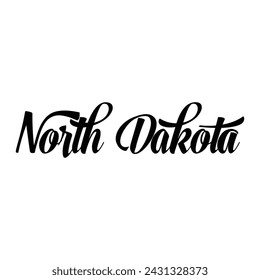
norte
Design Library
Explore Designs
New Merch Designs
Trending Merch Designs
Vectors
PNGs & SVGs
Mockups
T-Shirts
T-Shirt PSD Templates
KDP Designs
Phone Cases
Pillows
Tote Bags
Posters
Mugs
Design Tools
Designer
New!
T-shirt Maker
Mockup Generator
Quote Generator
Logo Maker
Resources
Merch Digest
Blog
Help Center
Creators Program
Learn About Merch
Changelog
PLANS
PNGs For Merch
norte
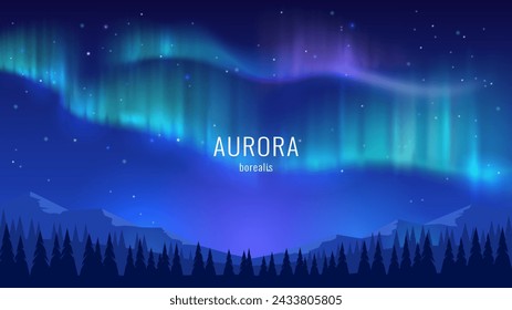
414 norte PNG and SVG design graphic
Download norte PNG & SVG Designs with transparent background for T-Shirts, book covers, phone cases and other merch.
Sort by
Most relevant
Sponsored results by
Get 15% off with code: VEXELS15
Show more
Sealeda by santa 25 dec badge sticker PNG Design
Choose a folder
All favorites
Create new
Save
Sealeda by santa 25 dec badge sticker PNG Design
Premium
Snowman character sticker PNG Design
Choose a folder
All favorites
Create new
Save
Snowman character sticker PNG Design
Letter n magic banner PNG Design
Choose a folder
All favorites
Create new
Save
Letter n magic banner PNG Design
Floral capital letter N stroke PNG Design
Choose a folder
All favorites
Create new
Save
Floral capital letter N stroke PNG Design
Letter n art deco banner PNG Design
Choose a folder
All favorites
Create new
Save
Letter n art deco banner PNG Design
Letter n nest alphabet PNG Design
Choose a folder
All favorites
Create new
Save
Letter n nest alphabet PNG Design
Reindeer express deer badge sticker PNG Design
Choose a folder
All favorites
Create new
Save
Reindeer express deer badge sticker PNG Design
Premium
Hand finger nail n letter n line PNG Design
Choose a folder
All favorites
Create new
Save
Hand finger nail n letter n line PNG Design
Premium
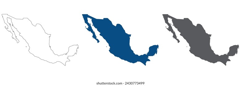
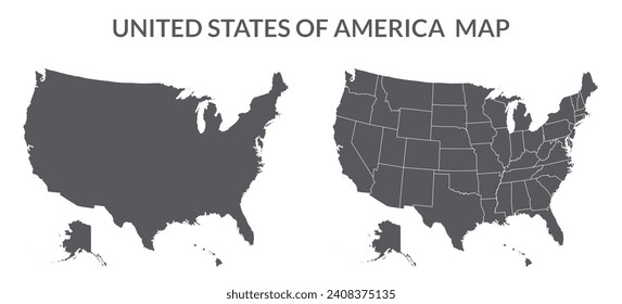
Usa map illustration PNG Design
Choose a folder
All favorites
Create new
Save
Usa map illustration PNG Design
N n letter dot spot stroke PNG Design
Choose a folder
All favorites
Create new
Save
N n letter dot spot stroke PNG Design
Letter n garland st patricks PNG Design
Choose a folder
All favorites
Create new
Save
Letter n garland st patricks PNG Design
Premium
Russia soccer team flag sticker PNG Design
Choose a folder
All favorites
Create new
Save
Russia soccer team flag sticker PNG Design
Premium
Christmas reindeer doodle PNG Design
Choose a folder
All favorites
Create new
Save
Christmas reindeer doodle PNG Design
Premium
Christmas reindeer with green horns PNG Design
Choose a folder
All favorites
Create new
Save
Christmas reindeer with green horns PNG Design
Premium
Alphabet stroke kawaii n PNG Design
Choose a folder
All favorites
Create new
Save
Alphabet stroke kawaii n PNG Design
Canada Bold Lettering PNG Design
Choose a folder
All favorites
Create new
Save
Canada Bold Lettering PNG Design
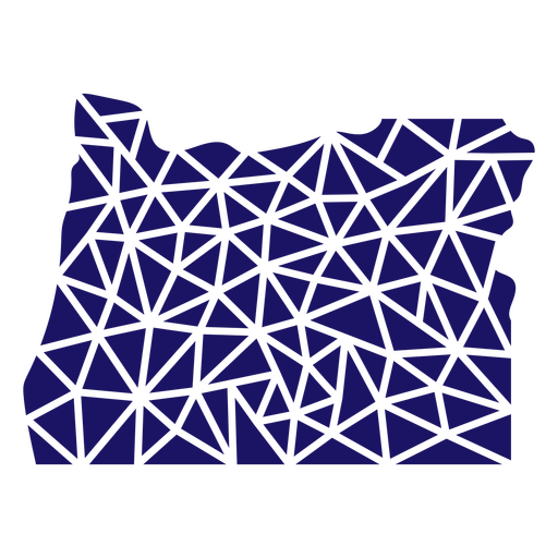
Polygonal Oregon State Map PNG Design
Choose a folder
All favorites
Create new
Save
Polygonal Oregon State Map PNG Design
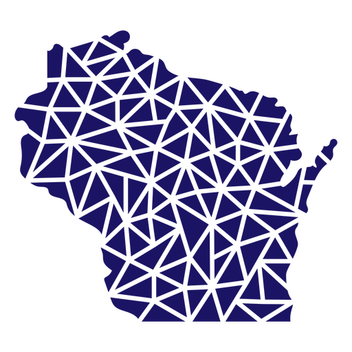
Polygonal Wisconsin State Map PNG Design
Choose a folder
All favorites
Create new
Save
Polygonal Wisconsin State Map PNG Design
Polygonal Montana State Map PNG Design
Choose a folder
All favorites
Create new
Save
Polygonal Montana State Map PNG Design
Polygonal West Virginia Map PNG Design
Choose a folder
All favorites
Create new
Save
Polygonal West Virginia Map PNG Design
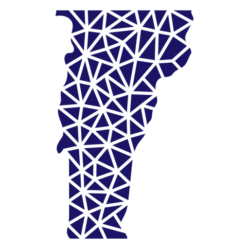
Polygonal Vermont State Map PNG Design
Choose a folder
All favorites
Create new
Save
Polygonal Vermont State Map PNG Design
Polygonal Virginia State Map PNG Design
Choose a folder
All favorites
Create new
Save
Polygonal Virginia State Map PNG Design
Polygonal Nebraska State Map PNG Design
Choose a folder
All favorites
Create new
Save
Polygonal Nebraska State Map PNG Design
Polygonal Tennessee State Map PNG Design
Choose a folder
All favorites
Create new
Save
Polygonal Tennessee State Map PNG Design
Polygonal Pennsylvania Map PNG Design
Choose a folder
All favorites
Create new
Save
Polygonal Pennsylvania Map PNG Design
Polygonal South Dakota Map PNG Design
Choose a folder
All favorites
Create new
Save
Polygonal South Dakota Map PNG Design
Polygonal New Mexico Map PNG Design
Choose a folder
All favorites
Create new
Save
Polygonal New Mexico Map PNG Design
Polygonal Kansas State Map PNG Design
Choose a folder
All favorites
Create new
Save
Polygonal Kansas State Map PNG Design
Delaware Stars & Stripes Map PNG Design
Choose a folder
All favorites
Create new
Save
Delaware Stars & Stripes Map PNG Design
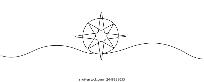
Travel compass navigation PNG Design
Choose a folder
All favorites
Create new
Save
Travel compass navigation PNG Design
Travel compass navigation stroke PNG Design
Choose a folder
All favorites
Create new
Save
Travel compass navigation stroke PNG Design
Compass equipment with leaves PNG Design
Choose a folder
All favorites
Create new
Save
Compass equipment with leaves PNG Design
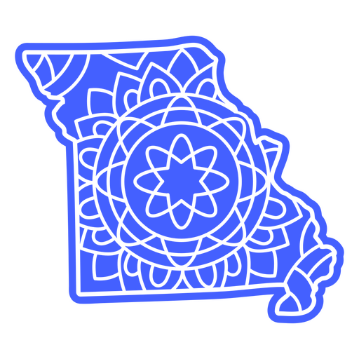
Missouri state mandala map element PNG Design
Choose a folder
All favorites
Create new
Save
Missouri state mandala map element PNG Design
Massachusetts state mandala map element PNG Design
Choose a folder
All favorites
Create new
Save
Massachusetts state mandala map element PNG Design
Maryland state mandala map element PNG Design
Choose a folder
All favorites
Create new
Save
Maryland state mandala map element PNG Design
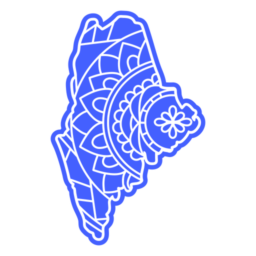
Maine state mandala map PNG Design
Choose a folder
All favorites
Create new
Save
Maine state mandala map PNG Design
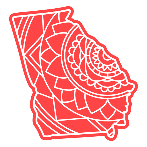
Georgia state mandala map PNG Design
Choose a folder
All favorites
Create new
Save
Georgia state mandala map PNG Design
Colorado state mandala map PNG Design
Choose a folder
All favorites
Create new
Save
Colorado state mandala map PNG Design
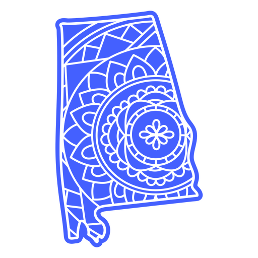
Alabama state mandala map PNG Design
Choose a folder
All favorites
Create new
Save
Alabama state mandala map PNG Design
Connecticut state mandala map PNG Design
Choose a folder
All favorites
Create new
Save
Connecticut state mandala map PNG Design
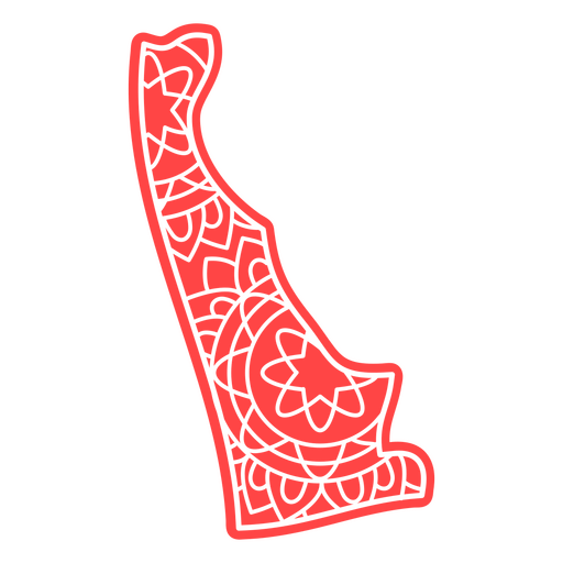
Delaware state mandala map PNG Design
Choose a folder
All favorites
Create new
Save
Delaware state mandala map PNG Design
Louisiana state mandala map stroke PNG Design
Choose a folder
All favorites
Create new
Save
Louisiana state mandala map stroke PNG Design
Maine state mandala map stroke PNG Design
Choose a folder
All favorites
Create new
Save
Maine state mandala map stroke PNG Design
Connecticut state mandala map stroke PNG Design
Choose a folder
All favorites
Create new
Save
Connecticut state mandala map stroke PNG Design
Alaska state mandala map stroke PNG Design
Choose a folder
All favorites
Create new
Save
Alaska state mandala map stroke PNG Design
Missouri state mandala map stroke PNG Design
Choose a folder
All favorites
Create new
Save
Missouri state mandala map stroke PNG Design
Maryland state mandala map stroke PNG Design
Choose a folder
All favorites
Create new
Save
Maryland state mandala map stroke PNG Design
Georgia state mandala map stroke PNG Design
Choose a folder
All favorites
Create new
Save
Georgia state mandala map stroke PNG Design
Colorado state mandala map stroke PNG Design
Choose a folder
All favorites
Create new
Save
Colorado state mandala map stroke PNG Design
Alabama state mandala map stroke PNG Design
Choose a folder
All favorites
Create new
Save
Alabama state mandala map stroke PNG Design
Boost Your Business
With The Leading Graphic Platform For Merch.
SEE PLANS
Next
of 9
prev page
next page