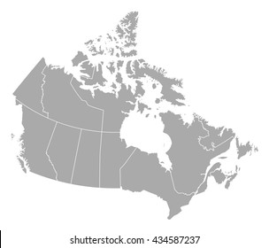
Design Library
Explore Designs
New Merch Designs
Trending Merch Designs
Vectors
PNGs & SVGs
Mockups
T-Shirts
T-Shirt PSD Templates
KDP Designs
Phone Cases
Pillows
Tote Bags
Posters
Mugs
Design Tools
Designer
New!
T-shirt Maker
Mockup Generator
Quote Generator
Logo Maker
Resources
Merch Digest
Blog
Help Center
Creators Program
Learn About Merch
Changelog
Pricing
Loading...
Sign Up
Login
PNGs For Merch
territory
Design Library
Explore Designs
New Merch Designs
Trending Merch Designs
Vectors
PNGs & SVGs
Mockups
T-Shirts
T-Shirt PSD Templates
KDP Designs
Phone Cases
Pillows
Tote Bags
Posters
Mugs
Design Tools
Designer
New!
T-shirt Maker
Mockup Generator
Quote Generator
Logo Maker
Resources
Merch Digest
Blog
Help Center
Creators Program
Learn About Merch
Changelog
PLANS
PNGs For Merch
territory
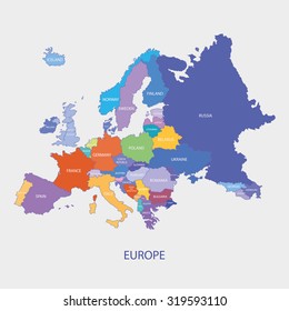
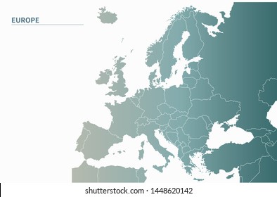
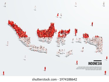
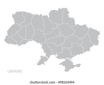
326 territory PNG and SVG design graphic
Download territory PNG & SVG Designs with transparent background for T-Shirts, book covers, phone cases and other merch.
Sort by
Most relevant
Sponsored results by
Get 15% off with code: VEXELS15
Show more
Premium
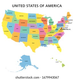
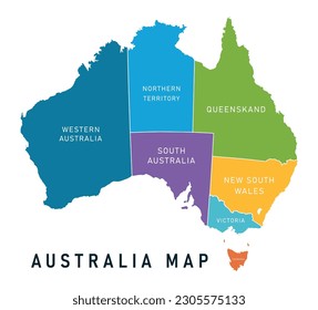
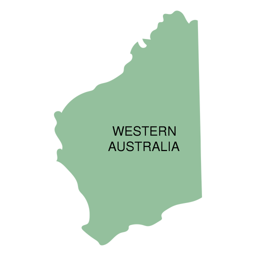
Western australia state map PNG Design
Choose a folder
All favorites
Create new
Save
Western australia state map PNG Design
Premium
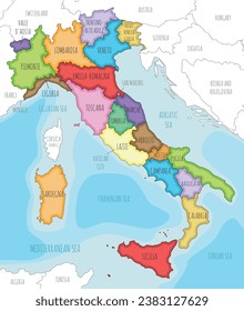
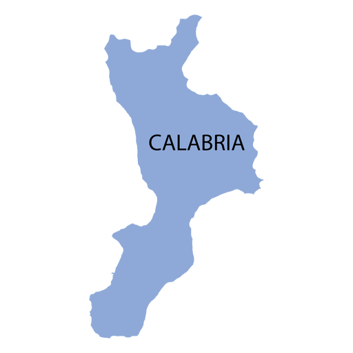
Calabria region map PNG Design
Choose a folder
All favorites
Create new
Save
Calabria region map PNG Design
Premium
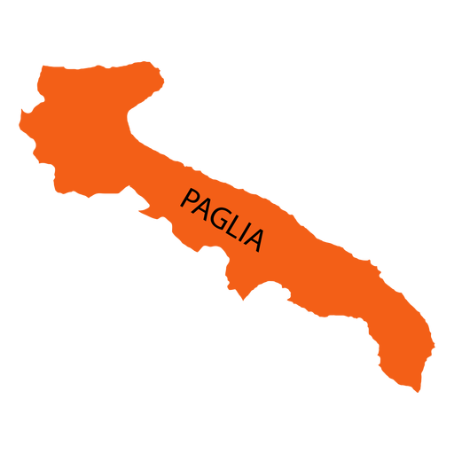
Apulia region map PNG Design
Choose a folder
All favorites
Create new
Save
Apulia region map PNG Design
Premium
Bali province map PNG Design
Choose a folder
All favorites
Create new
Save
Bali province map PNG Design
Premium
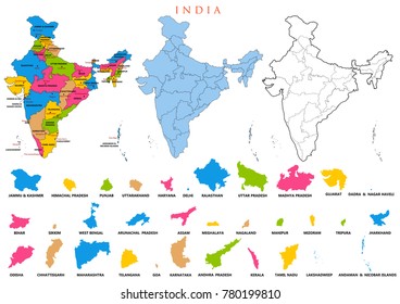
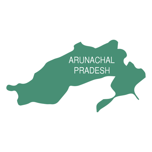
Arunachal pradesh state map PNG Design
Choose a folder
All favorites
Create new
Save
Arunachal pradesh state map PNG Design
Premium
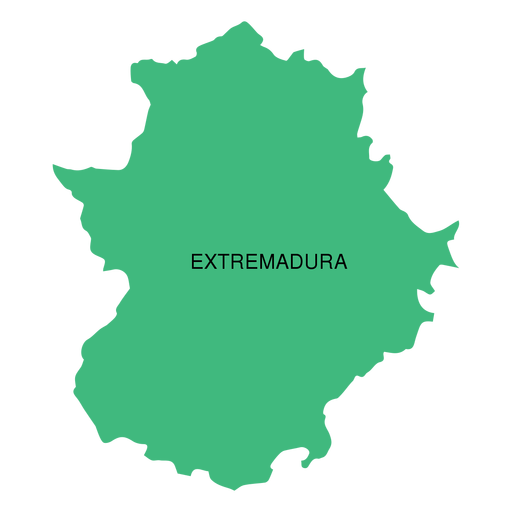
Extremadura autonomous community map PNG Design
Choose a folder
All favorites
Create new
Save
Extremadura autonomous community map PNG Design
Premium
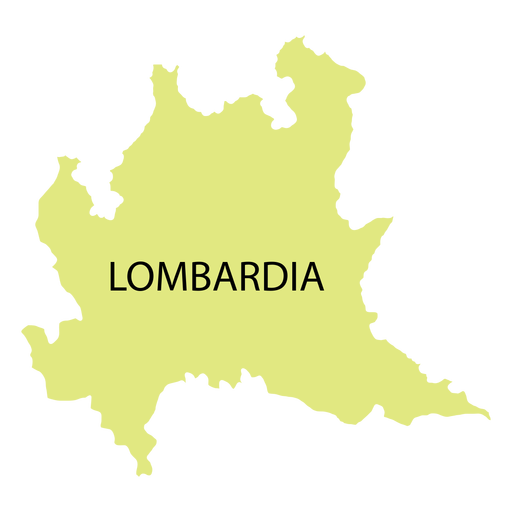
Lombardy region map PNG Design
Choose a folder
All favorites
Create new
Save
Lombardy region map PNG Design
Premium
Balearic islands autonomous community map PNG Design
Choose a folder
All favorites
Create new
Save
Balearic islands autonomous community map PNG Design
Premium
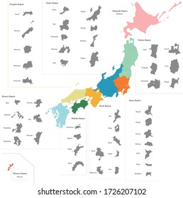
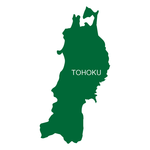
Tohoku region map PNG Design
Choose a folder
All favorites
Create new
Save
Tohoku region map PNG Design
Premium
Jakarta province map PNG Design
Choose a folder
All favorites
Create new
Save
Jakarta province map PNG Design
Premium
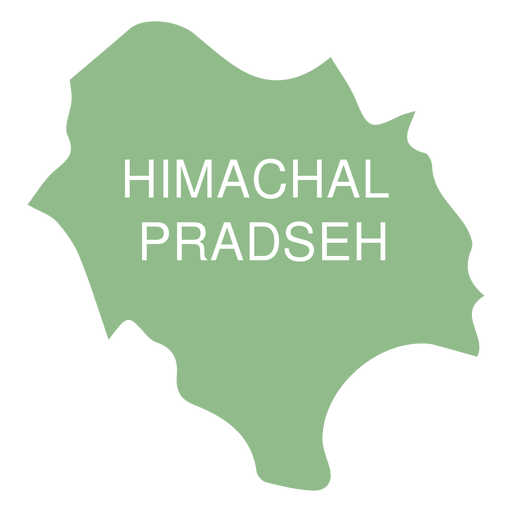
Himachal pradesh state map PNG Design
Choose a folder
All favorites
Create new
Save
Himachal pradesh state map PNG Design
Premium
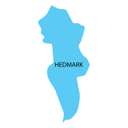
Hedmark county map PNG Design
Choose a folder
All favorites
Create new
Save
Hedmark county map PNG Design
Premium
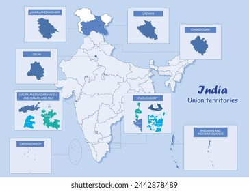
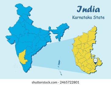
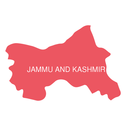
Jammu and kashmir state map PNG Design
Choose a folder
All favorites
Create new
Save
Jammu and kashmir state map PNG Design
Premium
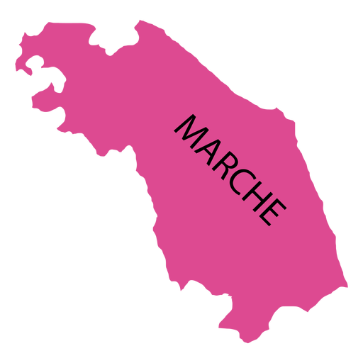
Marches region map PNG Design
Choose a folder
All favorites
Create new
Save
Marches region map PNG Design
Premium
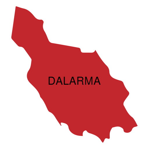
Dalarna county map PNG Design
Choose a folder
All favorites
Create new
Save
Dalarna county map PNG Design
Premium
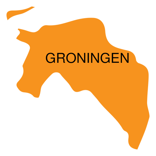
Groningen province map PNG Design
Choose a folder
All favorites
Create new
Save
Groningen province map PNG Design
Premium
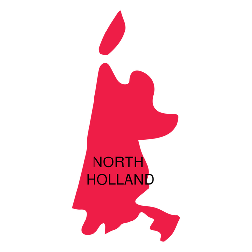
North holland province map PNG Design
Choose a folder
All favorites
Create new
Save
North holland province map PNG Design
Premium
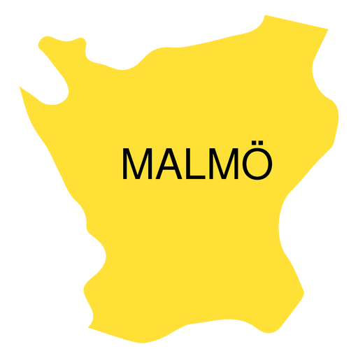
Skane county map PNG Design
Choose a folder
All favorites
Create new
Save
Skane county map PNG Design
Premium
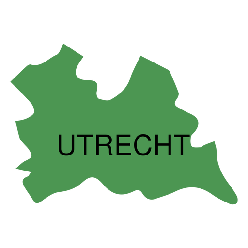
Utrecht province map PNG Design
Choose a folder
All favorites
Create new
Save
Utrecht province map PNG Design
Premium
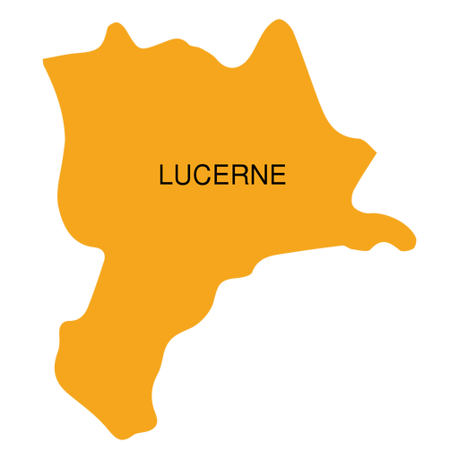
Lucerne canton map PNG Design
Choose a folder
All favorites
Create new
Save
Lucerne canton map PNG Design
Premium
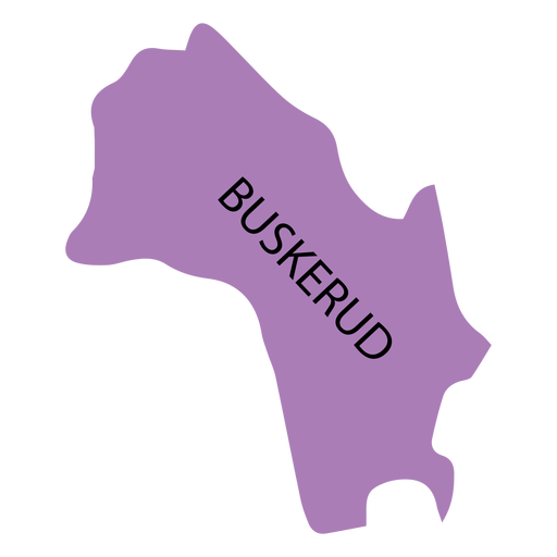
Buskerud county map PNG Design
Choose a folder
All favorites
Create new
Save
Buskerud county map PNG Design
Premium
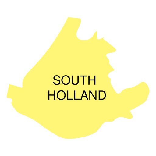
South holland province map PNG Design
Choose a folder
All favorites
Create new
Save
South holland province map PNG Design
Premium
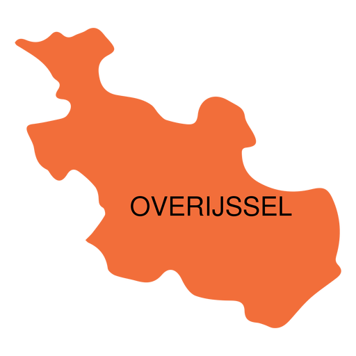
Overijssel province map PNG Design
Choose a folder
All favorites
Create new
Save
Overijssel province map PNG Design
Premium
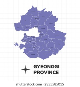
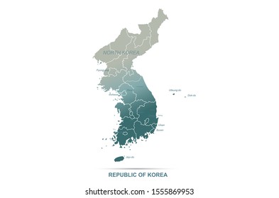
Seoul metropolitan city map PNG Design
Choose a folder
All favorites
Create new
Save
Seoul metropolitan city map PNG Design
Premium
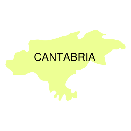
Cantabria autonomous community map PNG Design
Choose a folder
All favorites
Create new
Save
Cantabria autonomous community map PNG Design
Premium
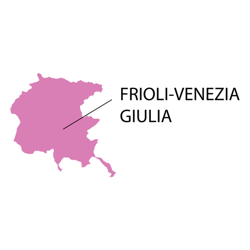
Friuli venezia giulia region map PNG Design
Choose a folder
All favorites
Create new
Save
Friuli venezia giulia region map PNG Design
Premium
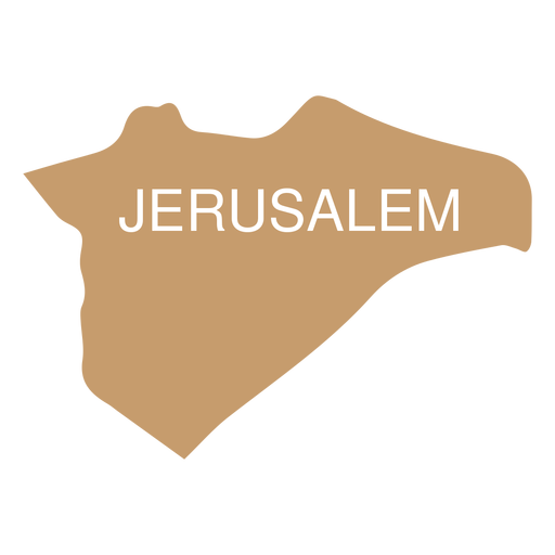
Jerusalem district map PNG Design
Choose a folder
All favorites
Create new
Save
Jerusalem district map PNG Design
Premium
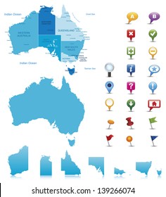
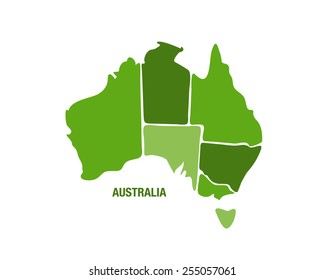
South australia state map PNG Design
Choose a folder
All favorites
Create new
Save
South australia state map PNG Design
Premium
West java province map PNG Design
Choose a folder
All favorites
Create new
Save
West java province map PNG Design
Premium
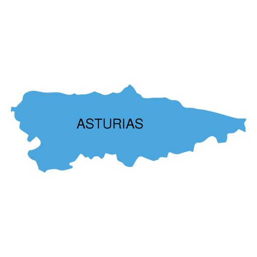
Asturias autonomous community map PNG Design
Choose a folder
All favorites
Create new
Save
Asturias autonomous community map PNG Design
Premium
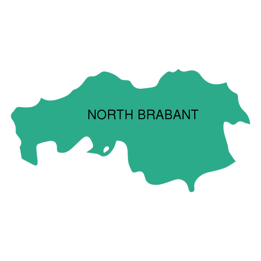
North brabant province map PNG Design
Choose a folder
All favorites
Create new
Save
North brabant province map PNG Design
Premium
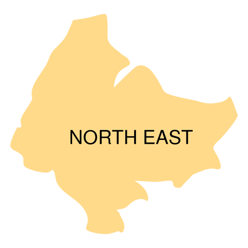
North east district map PNG Design
Choose a folder
All favorites
Create new
Save
North east district map PNG Design
Premium
Zeeland province map PNG Design
Choose a folder
All favorites
Create new
Save
Zeeland province map PNG Design
Premium
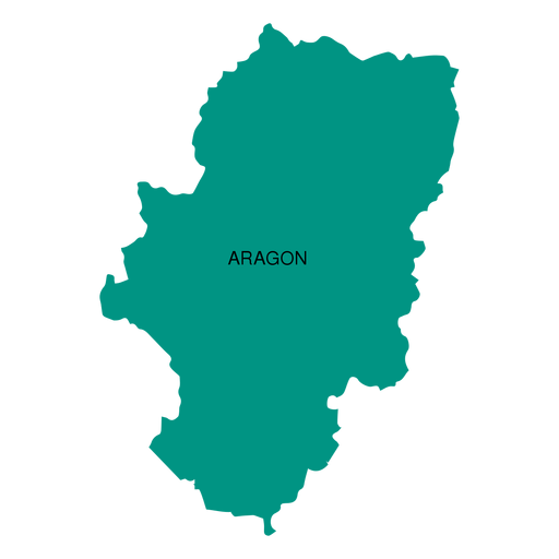
Aragon autonomous community map PNG Design
Choose a folder
All favorites
Create new
Save
Aragon autonomous community map PNG Design
Premium
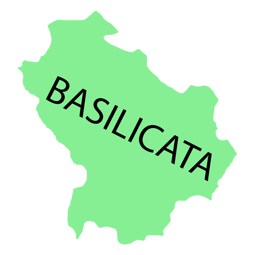
Basilicata region map PNG Design
Choose a folder
All favorites
Create new
Save
Basilicata region map PNG Design
Premium
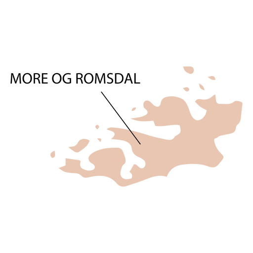
More og romsdal county map PNG Design
Choose a folder
All favorites
Create new
Save
More og romsdal county map PNG Design
Premium
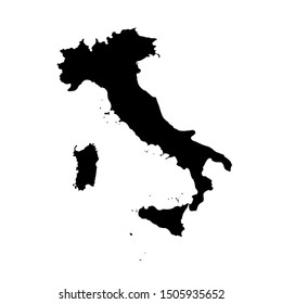
Abruzzo region map PNG Design
Choose a folder
All favorites
Create new
Save
Abruzzo region map PNG Design
Premium
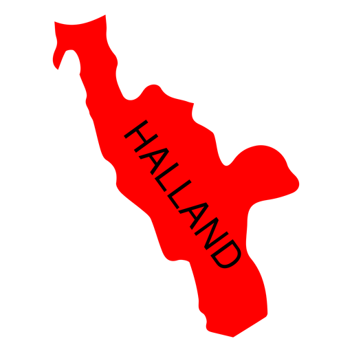
Halland county map PNG Design
Choose a folder
All favorites
Create new
Save
Halland county map PNG Design
Premium
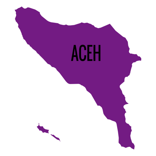
Aceh province map PNG Design
Choose a folder
All favorites
Create new
Save
Aceh province map PNG Design
Premium
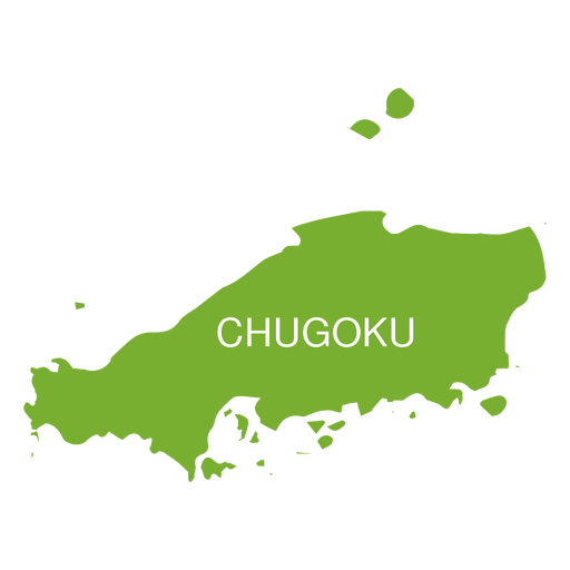
Chugoku region map PNG Design
Choose a folder
All favorites
Create new
Save
Chugoku region map PNG Design
Premium
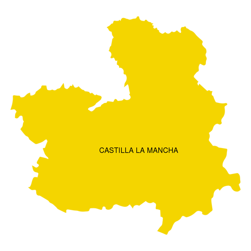
Castilla la mancha autonomous community map PNG Design
Choose a folder
All favorites
Create new
Save
Castilla la mancha autonomous community map PNG Design
Premium
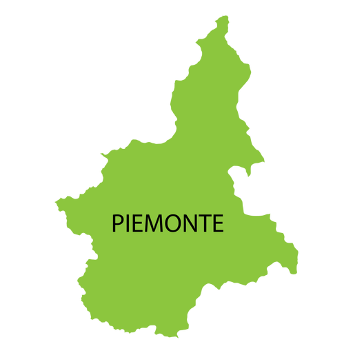
Piedmont region map PNG Design
Choose a folder
All favorites
Create new
Save
Piedmont region map PNG Design
Premium
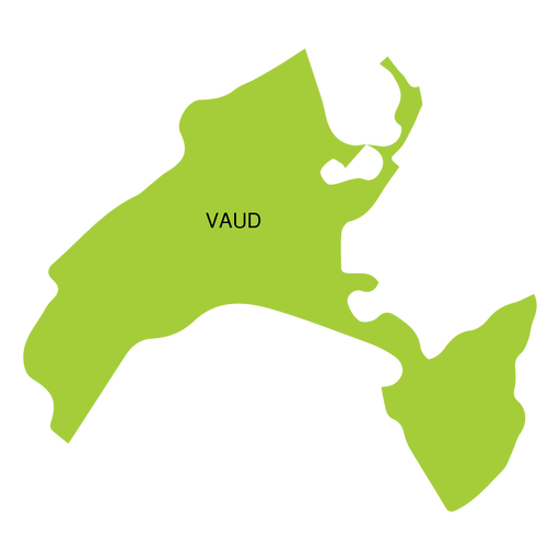
Vaud canton map PNG Design
Choose a folder
All favorites
Create new
Save
Vaud canton map PNG Design
Premium
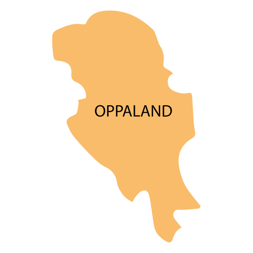
Oppland county map PNG Design
Choose a folder
All favorites
Create new
Save
Oppland county map PNG Design
Premium
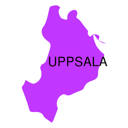
Uppsala county map PNG Design
Choose a folder
All favorites
Create new
Save
Uppsala county map PNG Design
Premium
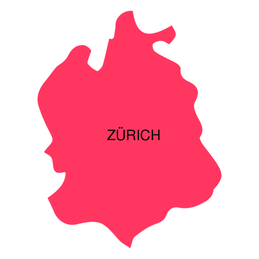
Zurich canton map PNG Design
Choose a folder
All favorites
Create new
Save
Zurich canton map PNG Design
Premium
East java province map PNG Design
Choose a folder
All favorites
Create new
Save
East java province map PNG Design
Premium
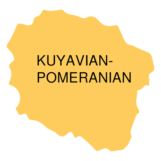
Kuyavian pomeranian voivodeship map PNG Design
Choose a folder
All favorites
Create new
Save
Kuyavian pomeranian voivodeship map PNG Design
Premium
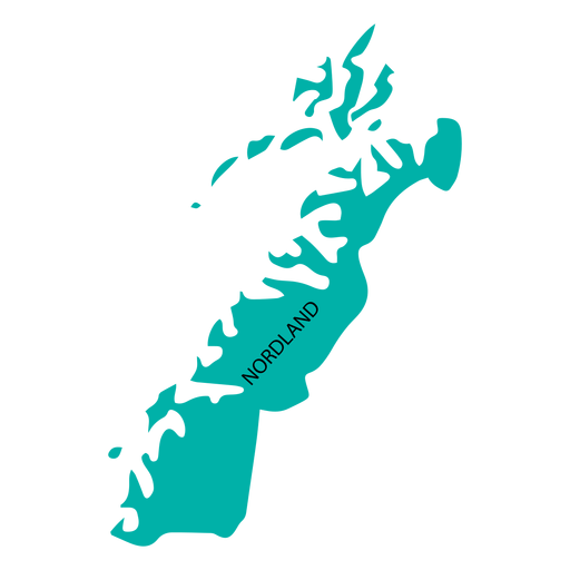
Nordland county map PNG Design
Choose a folder
All favorites
Create new
Save
Nordland county map PNG Design
Premium
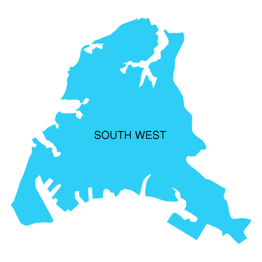
South west district map PNG Design
Choose a folder
All favorites
Create new
Save
South west district map PNG Design
Boost Your Business
With The Leading Graphic Platform For Merch.
SEE PLANS
Next
of 7
prev page
next page