Design Library
Explore Designs
New Merch Designs
Trending Merch Designs
Vectors
PNGs & SVGs
Mockups
T-Shirts
T-Shirt PSD Templates
KDP Designs
Phone Cases
Pillows
Tote Bags
Posters
Mugs
Design Tools
Designer
New!
T-shirt Maker
Mockup Generator
Quote Generator
Logo Maker
Resources
Merch Digest
Blog
Help Center
Creators Program
Learn About Merch
Changelog
Pricing
Loading...
Sign Up
Login
PNGs For Merch
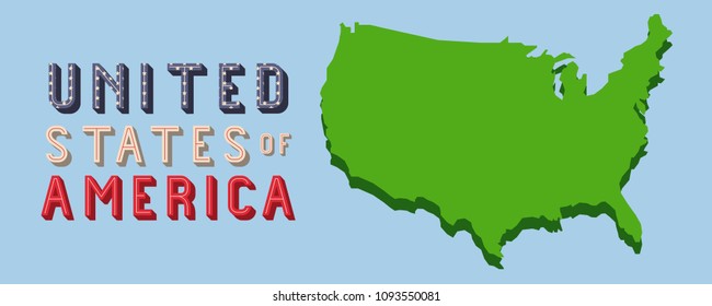
united
states
Design Library
Explore Designs
New Merch Designs
Trending Merch Designs
Vectors
PNGs & SVGs
Mockups
T-Shirts
T-Shirt PSD Templates
KDP Designs
Phone Cases
Pillows
Tote Bags
Posters
Mugs
Design Tools
Designer
New!
T-shirt Maker
Mockup Generator
Quote Generator
Logo Maker
Resources
Merch Digest
Blog
Help Center
Creators Program
Learn About Merch
Changelog
PLANS
PNGs For Merch
united
states
1439 united states PNG and SVG design graphic
Download united states PNG & SVG Designs with transparent background for T-Shirts, book covers, phone cases and other merch.
Related:
united states of america
,
united states skyline
,
united-states
Sort by
Most relevant
Sponsored results by
Get 15% off with code: VEXELS15
Show more
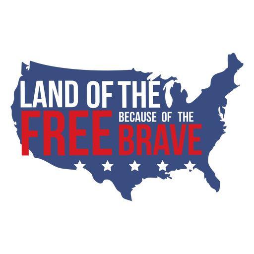
Land of the free quote flat PNG Design
Choose a folder
All favorites
Create new
Save
Land of the free quote flat PNG Design
Usa flag flying eagle flat PNG Design
Choose a folder
All favorites
Create new
Save
Usa flag flying eagle flat PNG Design
Republican elephant PNG Design
Choose a folder
All favorites
Create new
Save
Republican elephant PNG Design
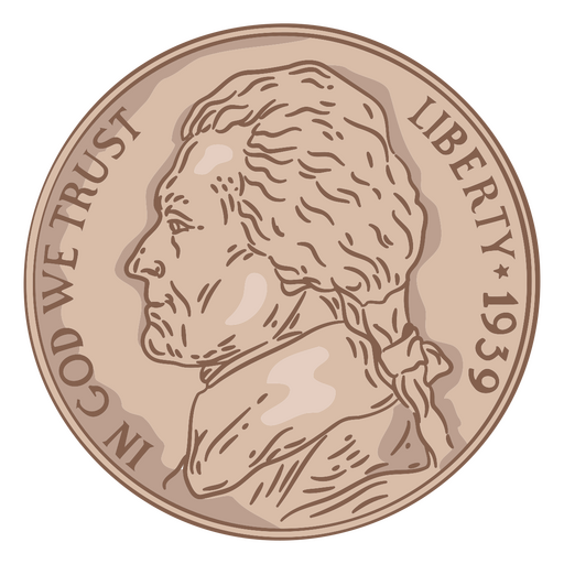
Coin illustration nickel head usa PNG Design
Choose a folder
All favorites
Create new
Save
Coin illustration nickel head usa PNG Design
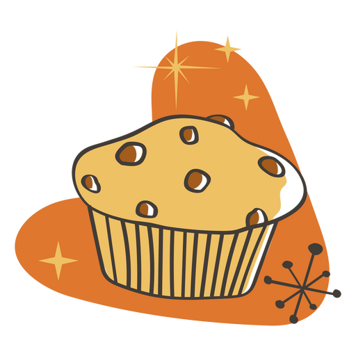
Muffin retro food treats PNG Design
Choose a folder
All favorites
Create new
Save
Muffin retro food treats PNG Design
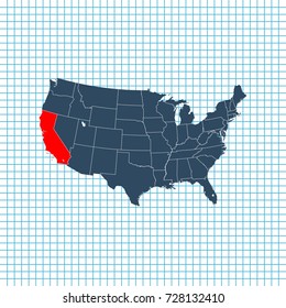
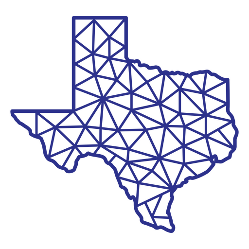
Texas map polygonal PNG Design
Choose a folder
All favorites
Create new
Save
Texas map polygonal PNG Design
America retro color lettering badge PNG Design
Choose a folder
All favorites
Create new
Save
America retro color lettering badge PNG Design
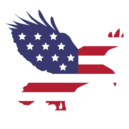
Flying american eagle badge cut out PNG Design
Choose a folder
All favorites
Create new
Save
Flying american eagle badge cut out PNG Design
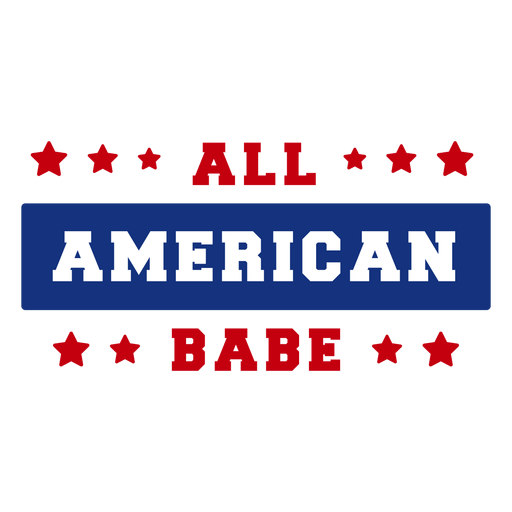
All american babe lettering PNG Design
Choose a folder
All favorites
Create new
Save
All american babe lettering PNG Design
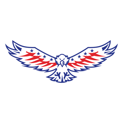
American flying eagle color stroke PNG Design
Choose a folder
All favorites
Create new
Save
American flying eagle color stroke PNG Design
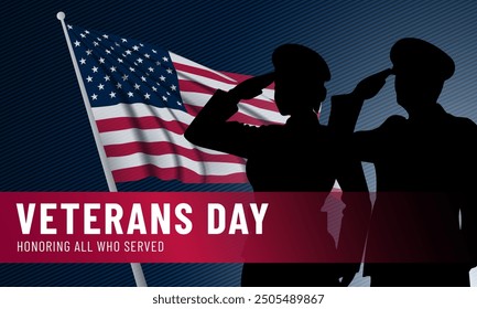
Eagle veterans day badge PNG Design
Choose a folder
All favorites
Create new
Save
Eagle veterans day badge PNG Design
Premium
Seattle skyline badge PNG Design
Choose a folder
All favorites
Create new
Save
Seattle skyline badge PNG Design
USA flag badge color stroke PNG Design
Choose a folder
All favorites
Create new
Save
USA flag badge color stroke PNG Design
Freedom lettering american flag filled stroke badge PNG Design
Choose a folder
All favorites
Create new
Save
Freedom lettering american flag filled stroke badge PNG Design
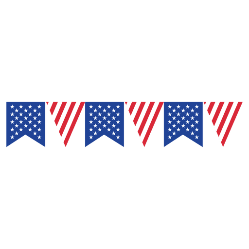
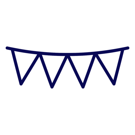
White pennants hand drawn PNG Design
Choose a folder
All favorites
Create new
Save
White pennants hand drawn PNG Design
Premium
Las vegas skyline badge PNG Design
Choose a folder
All favorites
Create new
Save
Las vegas skyline badge PNG Design
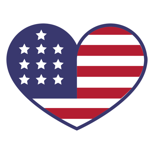
Usa flag in heart flat PNG Design
Choose a folder
All favorites
Create new
Save
Usa flag in heart flat PNG Design
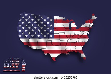
American flag print eagle PNG Design
Choose a folder
All favorites
Create new
Save
American flag print eagle PNG Design
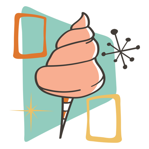
Cotton candy retro food treats PNG Design
Choose a folder
All favorites
Create new
Save
Cotton candy retro food treats PNG Design
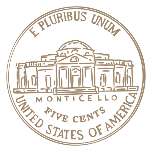
Coin stroke nickel head usa PNG Design
Choose a folder
All favorites
Create new
Save
Coin stroke nickel head usa PNG Design
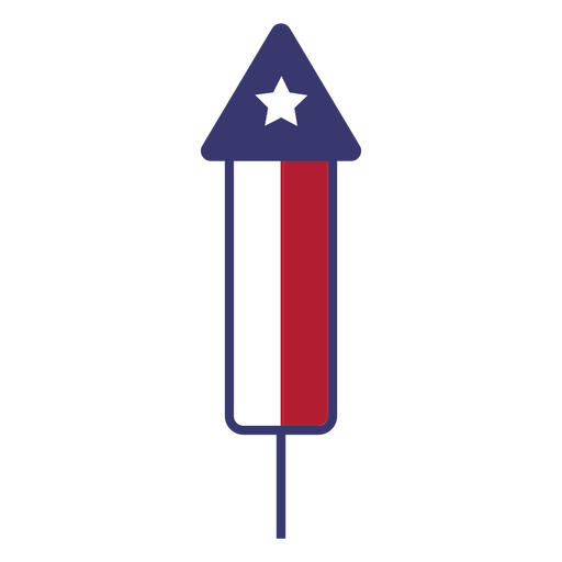
Usa fireworks flat PNG Design
Choose a folder
All favorites
Create new
Save
Usa fireworks flat PNG Design
Premium
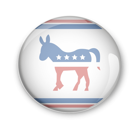
Usa democrats politic vote pin PNG Design
Choose a folder
All favorites
Create new
Save
Usa democrats politic vote pin PNG Design
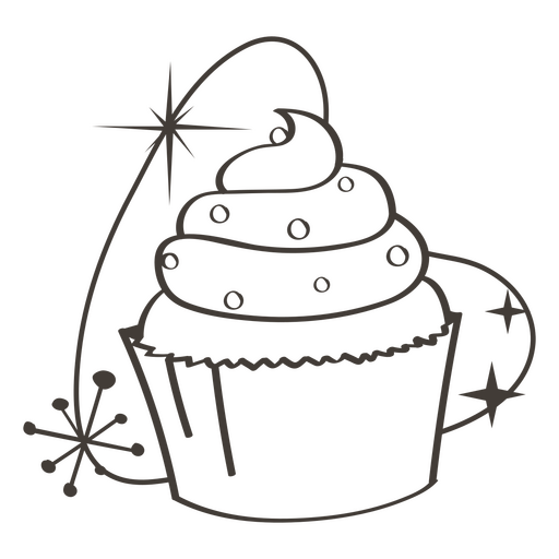
Cupcake stroke food treats PNG Design
Choose a folder
All favorites
Create new
Save
Cupcake stroke food treats PNG Design
Patriot american flag color stroke badge PNG Design
Choose a folder
All favorites
Create new
Save
Patriot american flag color stroke badge PNG Design
USA flag and sparks stroke PNG Design
Choose a folder
All favorites
Create new
Save
USA flag and sparks stroke PNG Design
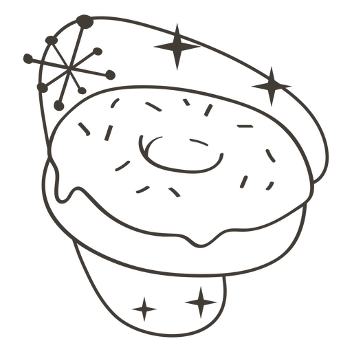
Donut stroke food treats PNG Design
Choose a folder
All favorites
Create new
Save
Donut stroke food treats PNG Design
America USA lettering cut out badge PNG Design
Choose a folder
All favorites
Create new
Save
America USA lettering cut out badge PNG Design
Abraham Lincoln American figures stroke PNG Design
Choose a folder
All favorites
Create new
Save
Abraham Lincoln American figures stroke PNG Design
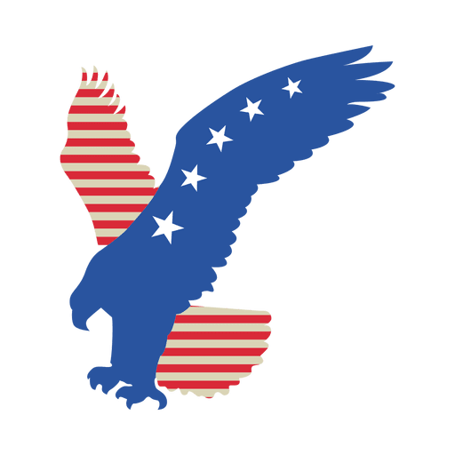
Usa flag flying eagle PNG Design
Choose a folder
All favorites
Create new
Save
Usa flag flying eagle PNG Design
American pennants hand drawn PNG Design
Choose a folder
All favorites
Create new
Save
American pennants hand drawn PNG Design
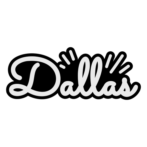
Places lettering dallas PNG Design
Choose a folder
All favorites
Create new
Save
Places lettering dallas PNG Design
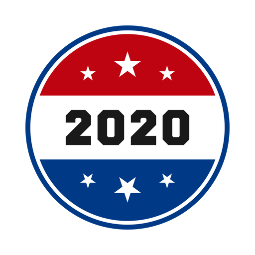
2020 patriotic symbol PNG Design
Choose a folder
All favorites
Create new
Save
2020 patriotic symbol PNG Design
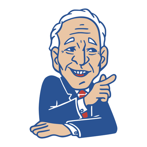
President Joe Biden PNG Design
Choose a folder
All favorites
Create new
Save
President Joe Biden PNG Design
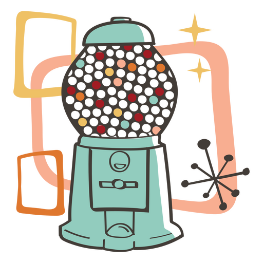
Gumball machine retro food treats PNG Design
Choose a folder
All favorites
Create new
Save
Gumball machine retro food treats PNG Design
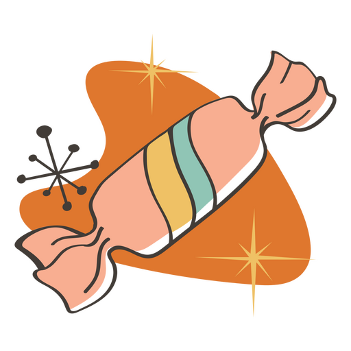
Sugar candy retro food treats PNG Design
Choose a folder
All favorites
Create new
Save
Sugar candy retro food treats PNG Design
Freedom american color lettering badge PNG Design
Choose a folder
All favorites
Create new
Save
Freedom american color lettering badge PNG Design
American eage head badge filled stroke PNG Design
Choose a folder
All favorites
Create new
Save
American eage head badge filled stroke PNG Design
Premium
Stroke dollar bill PNG Design
Choose a folder
All favorites
Create new
Save
Stroke dollar bill PNG Design
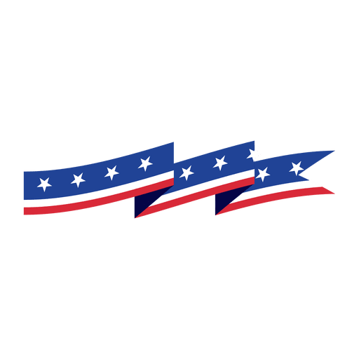
Ribbon triangle usa flag bunting PNG Design
Choose a folder
All favorites
Create new
Save
Ribbon triangle usa flag bunting PNG Design
Lollipop retro food treats PNG Design
Choose a folder
All favorites
Create new
Save
Lollipop retro food treats PNG Design
Coin stroke nickel tail usa PNG Design
Choose a folder
All favorites
Create new
Save
Coin stroke nickel tail usa PNG Design
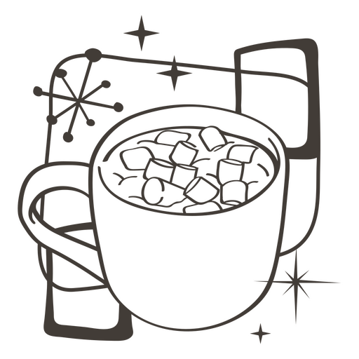
Hot cocoa stroke food treats PNG Design
Choose a folder
All favorites
Create new
Save
Hot cocoa stroke food treats PNG Design
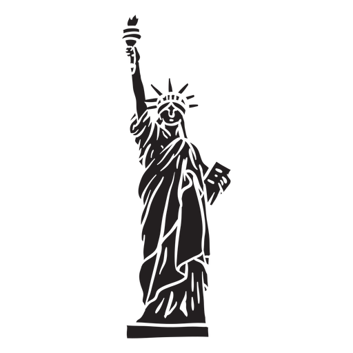
Liberty statue cut out element PNG Design
Choose a folder
All favorites
Create new
Save
Liberty statue cut out element PNG Design
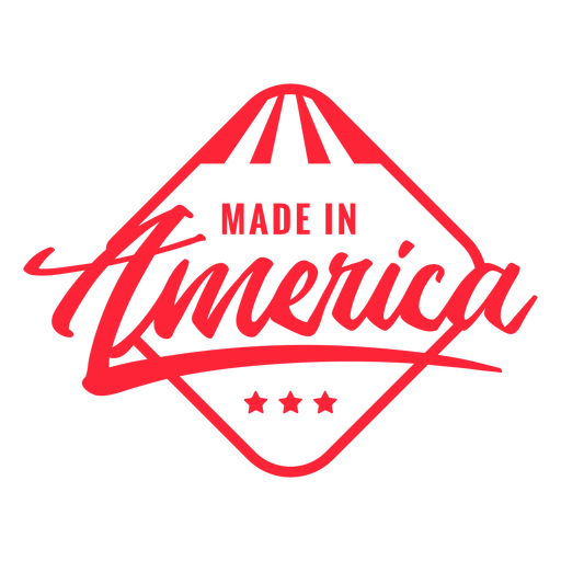
Made in America quote filled stroke PNG Design
Choose a folder
All favorites
Create new
Save
Made in America quote filled stroke PNG Design
Usa pennants stroke PNG Design
Choose a folder
All favorites
Create new
Save
Usa pennants stroke PNG Design
Premium
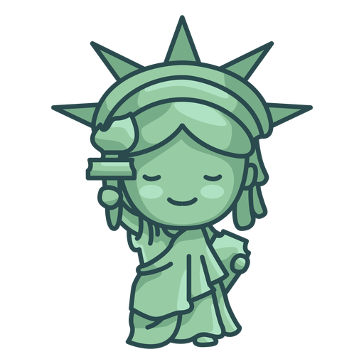
Statue of liberty cute PNG Design
Choose a folder
All favorites
Create new
Save
Statue of liberty cute PNG Design
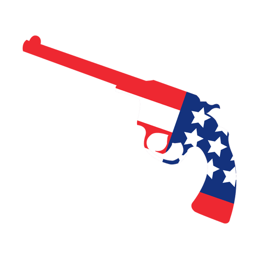
America flag print gun PNG Design
Choose a folder
All favorites
Create new
Save
America flag print gun PNG Design
Origami usa flag ribbon PNG Design
Choose a folder
All favorites
Create new
Save
Origami usa flag ribbon PNG Design
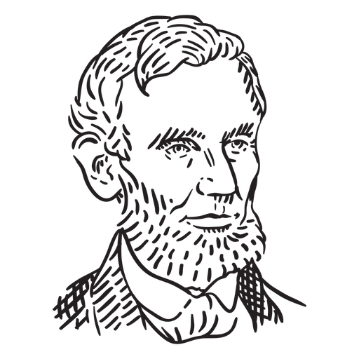
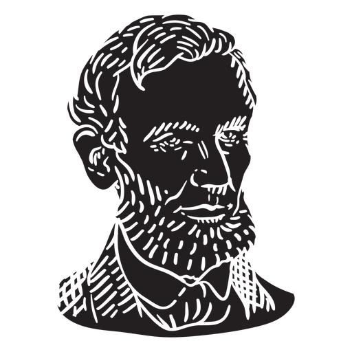
Abraham Lincoln face cut out PNG Design
Choose a folder
All favorites
Create new
Save
Abraham Lincoln face cut out PNG Design
Happy independence day badge PNG Design
Choose a folder
All favorites
Create new
Save
Happy independence day badge PNG Design
Boost Your Business
With The Leading Graphic Platform For Merch.
SEE PLANS
Next
of 29
prev page
next page