Design Library
Explore Designs
New Merch Designs
Trending Merch Designs
Vectors
PNGs & SVGs
Mockups
T-Shirts
T-Shirt PSD Templates
KDP Designs
Phone Cases
Pillows
Tote Bags
Posters
Mugs
Design Tools
Designer
New!
T-shirt Maker
Mockup Generator
Quote Generator
Logo Maker
Resources
Merch Digest
Blog
Help Center
Creators Program
Learn About Merch
Changelog
Pricing
Loading...
Sign Up
Login
PNGs For Merch
united
states
Design Library
Explore Designs
New Merch Designs
Trending Merch Designs
Vectors
PNGs & SVGs
Mockups
T-Shirts
T-Shirt PSD Templates
KDP Designs
Phone Cases
Pillows
Tote Bags
Posters
Mugs
Design Tools
Designer
New!
T-shirt Maker
Mockup Generator
Quote Generator
Logo Maker
Resources
Merch Digest
Blog
Help Center
Creators Program
Learn About Merch
Changelog
PLANS
PNGs For Merch
united
states
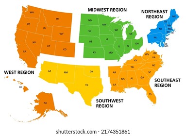
1439 united states PNG and SVG design graphic
Download united states PNG & SVG Designs with transparent background for T-Shirts, book covers, phone cases and other merch.
Related:
united states of america
,
united states skyline
,
united-states
Sort by
Most relevant
Sponsored results by
Get 15% off with code: VEXELS15
Show more
Premium
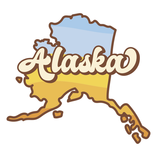
Alaska retro sunset usa states PNG Design
Choose a folder
All favorites
Create new
Save
Alaska retro sunset usa states PNG Design
Premium
Michigan retro sunset usa states PNG Design
Choose a folder
All favorites
Create new
Save
Michigan retro sunset usa states PNG Design
Premium
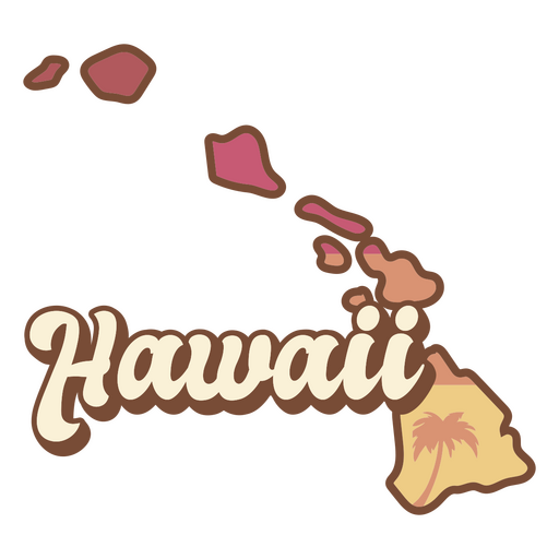
Hawaii retro sunset usa states PNG Design
Choose a folder
All favorites
Create new
Save
Hawaii retro sunset usa states PNG Design
United states patterned dress illustration PNG Design
Choose a folder
All favorites
Create new
Save
United states patterned dress illustration PNG Design
United states patterned dress stroke PNG Design
Choose a folder
All favorites
Create new
Save
United states patterned dress stroke PNG Design
Premium
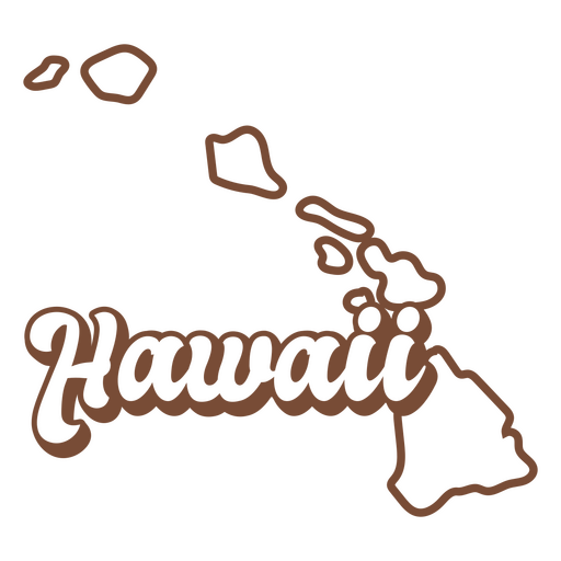
Hawaii retro stroke usa states PNG Design
Choose a folder
All favorites
Create new
Save
Hawaii retro stroke usa states PNG Design
Premium
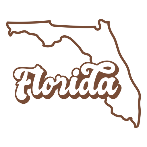
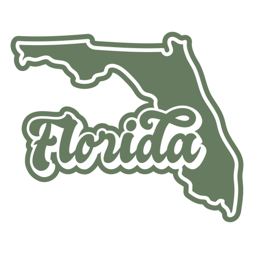
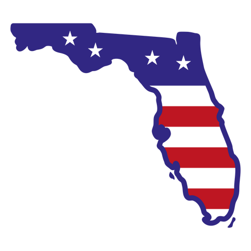
Florida retro stroke usa states PNG Design
Choose a folder
All favorites
Create new
Save
Florida retro stroke usa states PNG Design
Premium
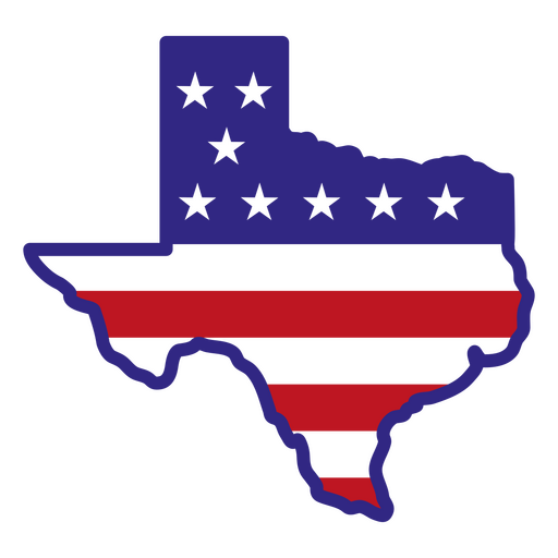
Texas lettering usa states PNG Design
Choose a folder
All favorites
Create new
Save
Texas lettering usa states PNG Design
Premium
Connecticut retro sunset usa states PNG Design
Choose a folder
All favorites
Create new
Save
Connecticut retro sunset usa states PNG Design
Premium
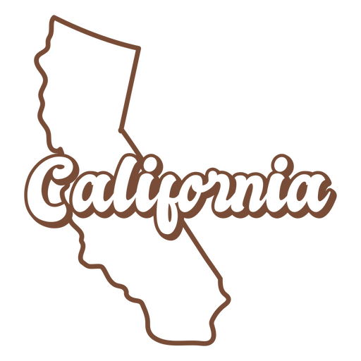
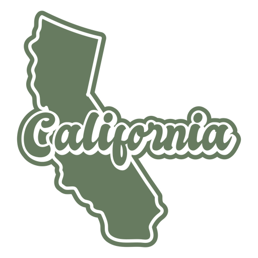
California retro stroke usa states PNG Design
Choose a folder
All favorites
Create new
Save
California retro stroke usa states PNG Design
Premium
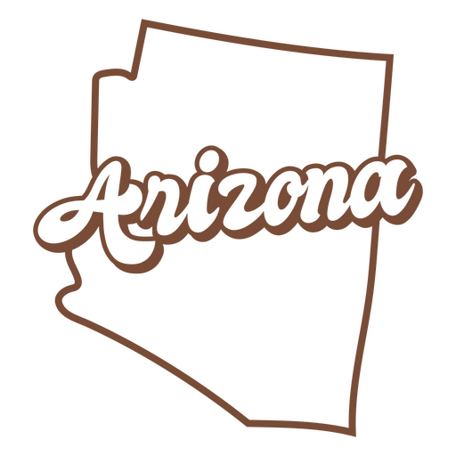
Arizona retro stroke usa states PNG Design
Choose a folder
All favorites
Create new
Save
Arizona retro stroke usa states PNG Design
Premium
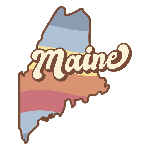
Maine retro sunset usa states PNG Design
Choose a folder
All favorites
Create new
Save
Maine retro sunset usa states PNG Design
Premium
Kentucky retro sunset usa states PNG Design
Choose a folder
All favorites
Create new
Save
Kentucky retro sunset usa states PNG Design
Premium
Arkansas retro sunset usa states PNG Design
Choose a folder
All favorites
Create new
Save
Arkansas retro sunset usa states PNG Design
Premium
Florida retro cut out usa states PNG Design
Choose a folder
All favorites
Create new
Save
Florida retro cut out usa states PNG Design
Premium
New york lettering usa states PNG Design
Choose a folder
All favorites
Create new
Save
New york lettering usa states PNG Design
Premium
Mississippi retro sunset usa states PNG Design
Choose a folder
All favorites
Create new
Save
Mississippi retro sunset usa states PNG Design
Texas color stroke states PNG Design
Choose a folder
All favorites
Create new
Save
Texas color stroke states PNG Design
Premium
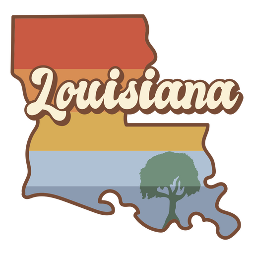
Louisiana retro sunset usa states PNG Design
Choose a folder
All favorites
Create new
Save
Louisiana retro sunset usa states PNG Design
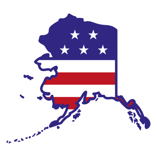
Alaska color stroke states PNG Design
Choose a folder
All favorites
Create new
Save
Alaska color stroke states PNG Design
Premium
Georgia retro sunset usa states PNG Design
Choose a folder
All favorites
Create new
Save
Georgia retro sunset usa states PNG Design
Premium
Kentucky retro stroke usa states PNG Design
Choose a folder
All favorites
Create new
Save
Kentucky retro stroke usa states PNG Design
Premium
Alabama retro stroke usa states PNG Design
Choose a folder
All favorites
Create new
Save
Alabama retro stroke usa states PNG Design
Premium
Illinois retro cut out usa states PNG Design
Choose a folder
All favorites
Create new
Save
Illinois retro cut out usa states PNG Design
Premium
Indiana retro stroke usa states PNG Design
Choose a folder
All favorites
Create new
Save
Indiana retro stroke usa states PNG Design
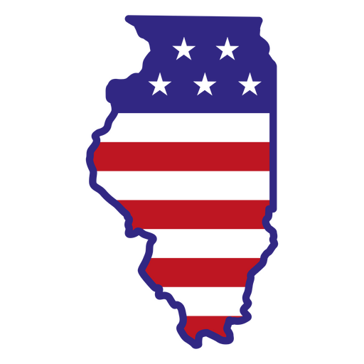
Illinois color stroke states PNG Design
Choose a folder
All favorites
Create new
Save
Illinois color stroke states PNG Design
Premium
Utah lettering usa states PNG Design
Choose a folder
All favorites
Create new
Save
Utah lettering usa states PNG Design
Premium
Alabama retro sunset usa states PNG Design
Choose a folder
All favorites
Create new
Save
Alabama retro sunset usa states PNG Design
Premium
Maryland retro sunset usa states PNG Design
Choose a folder
All favorites
Create new
Save
Maryland retro sunset usa states PNG Design
Premium
Maine retro cut out usa states PNG Design
Choose a folder
All favorites
Create new
Save
Maine retro cut out usa states PNG Design
Premium
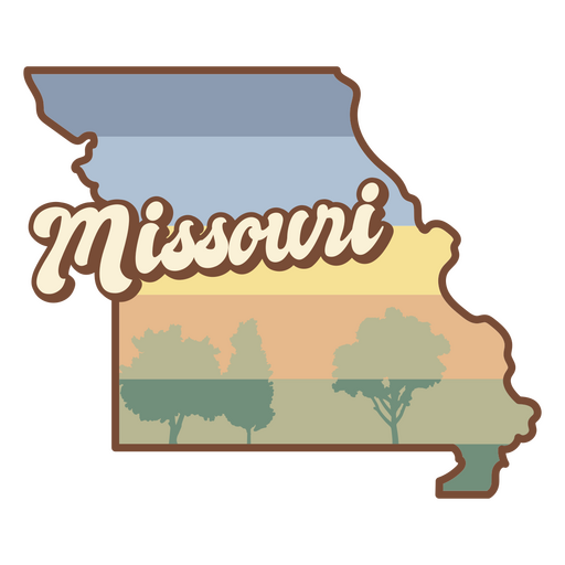
Missouri retro sunset states usa PNG Design
Choose a folder
All favorites
Create new
Save
Missouri retro sunset states usa PNG Design
Premium
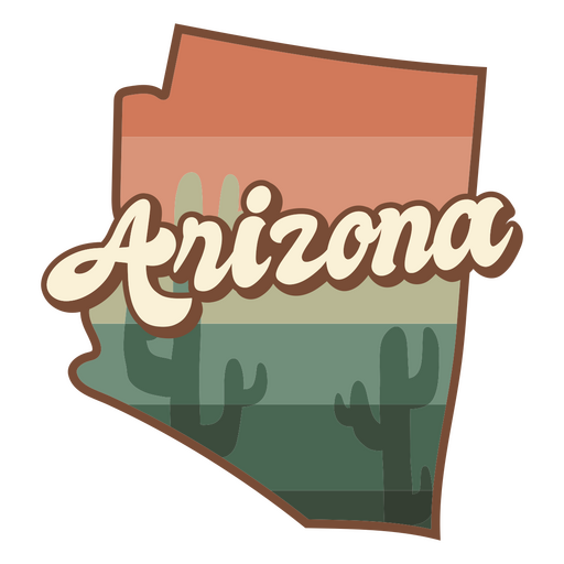
Arizona retro sunset usa states PNG Design
Choose a folder
All favorites
Create new
Save
Arizona retro sunset usa states PNG Design
Premium
Georgia retro stroke usa states PNG Design
Choose a folder
All favorites
Create new
Save
Georgia retro stroke usa states PNG Design
Premium
Illinois retro stroke usa states PNG Design
Choose a folder
All favorites
Create new
Save
Illinois retro stroke usa states PNG Design
Premium
Kentucky retro cut out usa states PNG Design
Choose a folder
All favorites
Create new
Save
Kentucky retro cut out usa states PNG Design
Premium
Mississippi retro cut out usa states PNG Design
Choose a folder
All favorites
Create new
Save
Mississippi retro cut out usa states PNG Design
Premium
California retro cut out usa states PNG Design
Choose a folder
All favorites
Create new
Save
California retro cut out usa states PNG Design
Florida color stroke states PNG Design
Choose a folder
All favorites
Create new
Save
Florida color stroke states PNG Design
Premium
Indiana retro sunset usa states PNG Design
Choose a folder
All favorites
Create new
Save
Indiana retro sunset usa states PNG Design
Premium
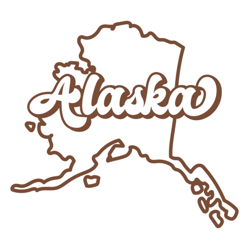
Alaska retro stroke usa states PNG Design
Choose a folder
All favorites
Create new
Save
Alaska retro stroke usa states PNG Design
Premium
Arkansas retro stroke usa states PNG Design
Choose a folder
All favorites
Create new
Save
Arkansas retro stroke usa states PNG Design
Premium
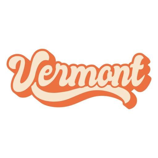
Vermont lettering usa states PNG Design
Choose a folder
All favorites
Create new
Save
Vermont lettering usa states PNG Design
Premium
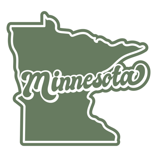
Minnesota retro cut out states usa PNG Design
Choose a folder
All favorites
Create new
Save
Minnesota retro cut out states usa PNG Design
Premium
Alaska retro cut out usa states PNG Design
Choose a folder
All favorites
Create new
Save
Alaska retro cut out usa states PNG Design
Premium
Alabama retro cut out usa states PNG Design
Choose a folder
All favorites
Create new
Save
Alabama retro cut out usa states PNG Design
Premium
Louisiana retro cut out usa states PNG Design
Choose a folder
All favorites
Create new
Save
Louisiana retro cut out usa states PNG Design
Premium
Michigan retro stroke usa states PNG Design
Choose a folder
All favorites
Create new
Save
Michigan retro stroke usa states PNG Design
Premium
Massachusetts retro stroke usa states PNG Design
Choose a folder
All favorites
Create new
Save
Massachusetts retro stroke usa states PNG Design
States lettering arkansas PNG Design
Choose a folder
All favorites
Create new
Save
States lettering arkansas PNG Design
Premium
North carolina lettering usa states PNG Design
Choose a folder
All favorites
Create new
Save
North carolina lettering usa states PNG Design
Boost Your Business
With The Leading Graphic Platform For Merch.
SEE PLANS
Next
of 29
prev page
next page