Design Library
Explore Designs
New Merch Designs
Trending Merch Designs
Vectors
PNGs & SVGs
Mockups
T-Shirts
T-Shirt PSD Templates
KDP Designs
Phone Cases
Pillows
Tote Bags
Posters
Mugs
Design Tools
Designer
New!
T-shirt Maker
Mockup Generator
Quote Generator
Logo Maker
Resources
Merch Digest
Blog
Help Center
Creators Program
Learn About Merch
Changelog
Pricing
Loading...
Sign Up
Login
Merch Vectors
map
vector
Design Library
Explore Designs
New Merch Designs
Trending Merch Designs
Vectors
PNGs & SVGs
Mockups
T-Shirts
T-Shirt PSD Templates
KDP Designs
Phone Cases
Pillows
Tote Bags
Posters
Mugs
Design Tools
Designer
New!
T-shirt Maker
Mockup Generator
Quote Generator
Logo Maker
Resources
Merch Digest
Blog
Help Center
Creators Program
Learn About Merch
Changelog
PLANS
Merch Vectors
map
vector
271 map vector Vector Designs for T-Shirts and merch
Download & buy editable map vector AI Vector Graphics Designs for T shirts, Phone Cases, Book Covers and other Merch
Sort by
Most relevant
Sponsored results by
Get 15% off with code: VEXELS15
Show more
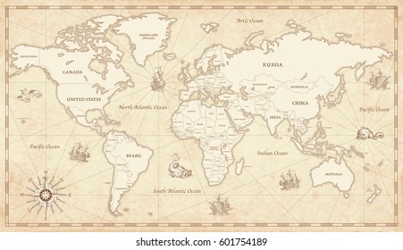
Plane travel world map
Choose a folder
All favorites
Create new
Save
Plane travel world map
Vector globe - earth
Choose a folder
All favorites
Create new
Save
Vector globe - earth
Blue Canada Day Vector Map
Choose a folder
All favorites
Create new
Save
Blue Canada Day Vector Map
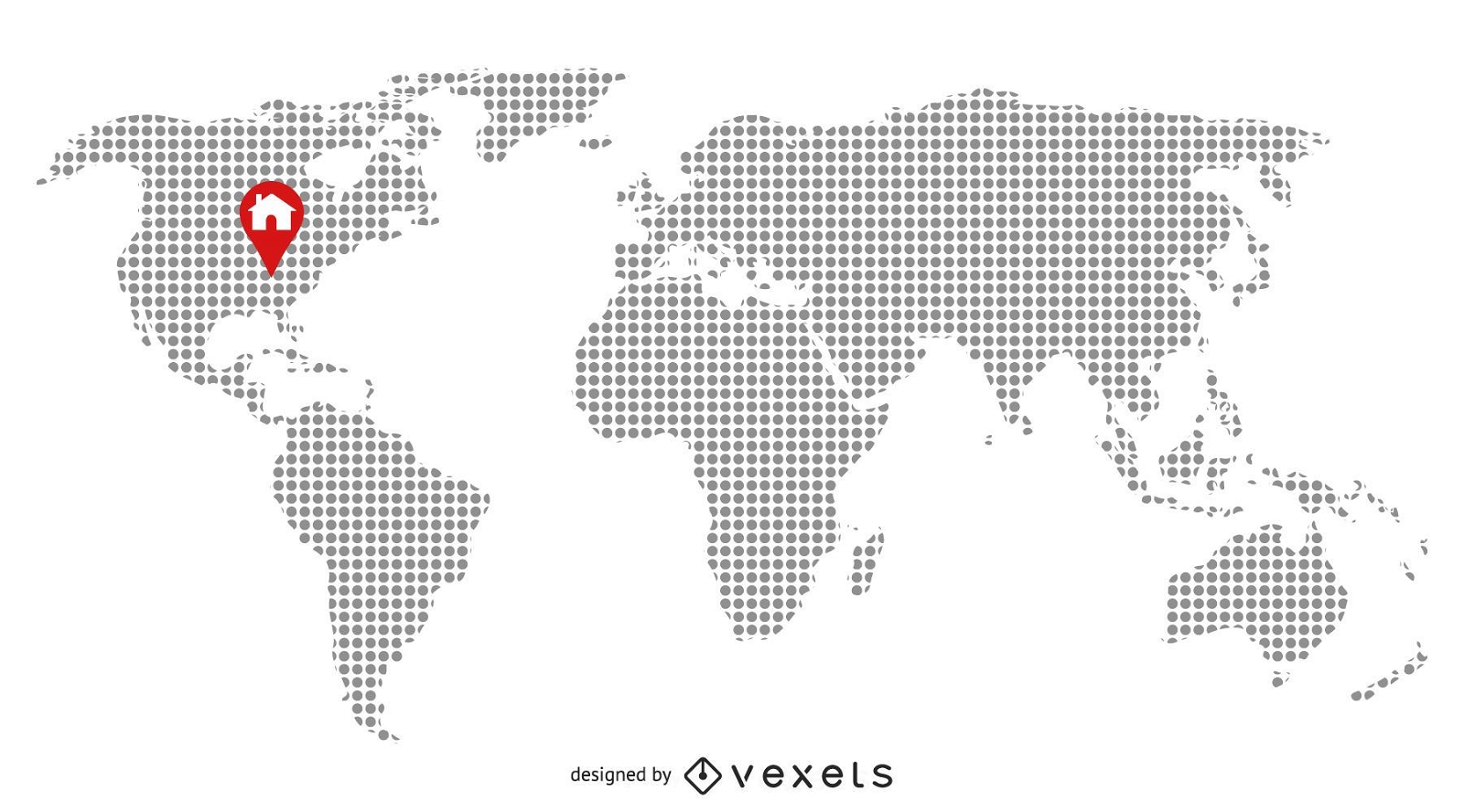
Pixilated Map with Home Location
Choose a folder
All favorites
Create new
Save
Pixilated Map with Home Location
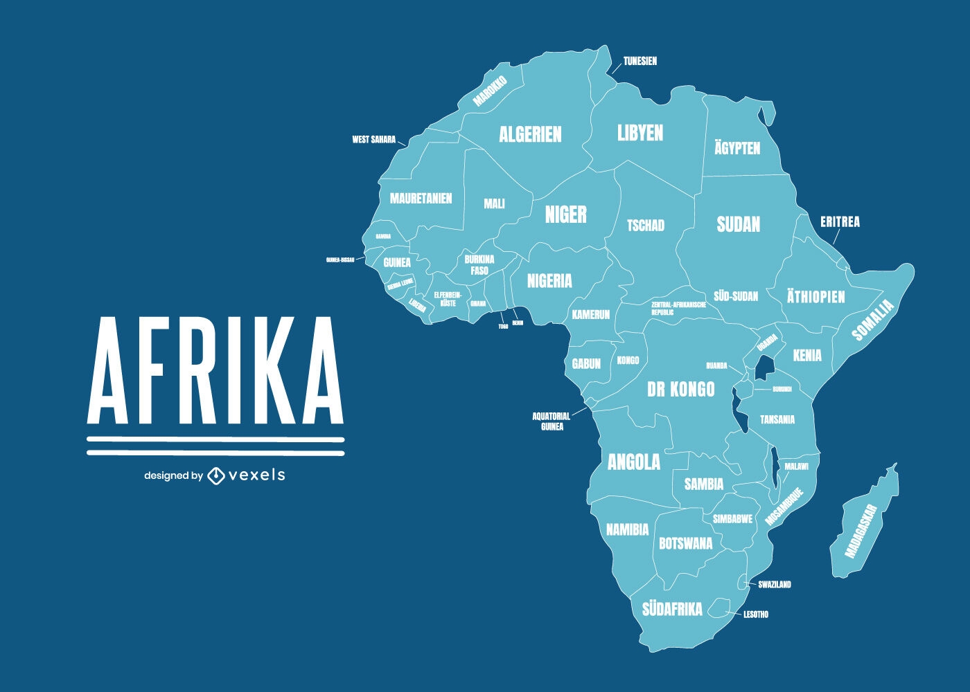
German Content
Premium
Geographical map of Africa with country names
Choose a folder
All favorites
Create new
Save
Geographical map of Africa with country names
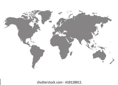
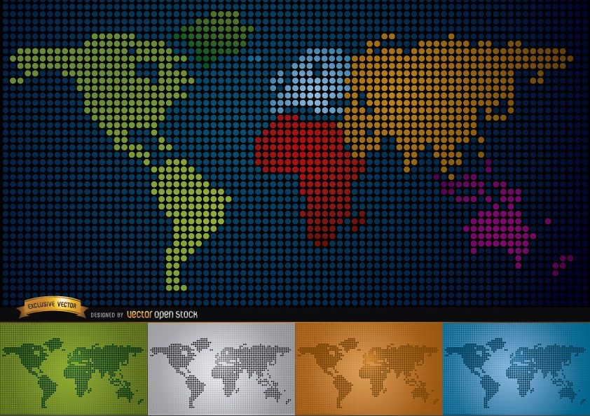
Digital map of world with continents
Choose a folder
All favorites
Create new
Save
Digital map of world with continents
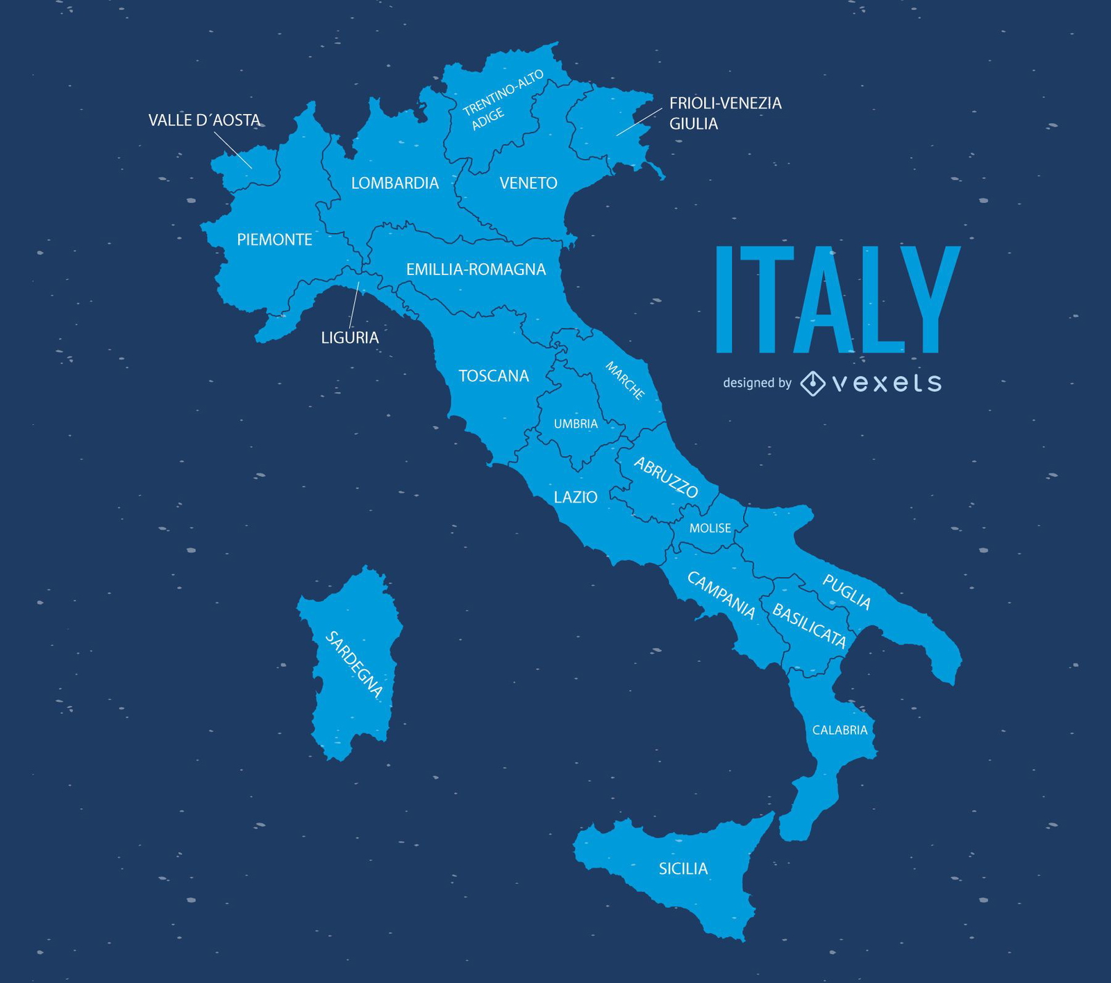
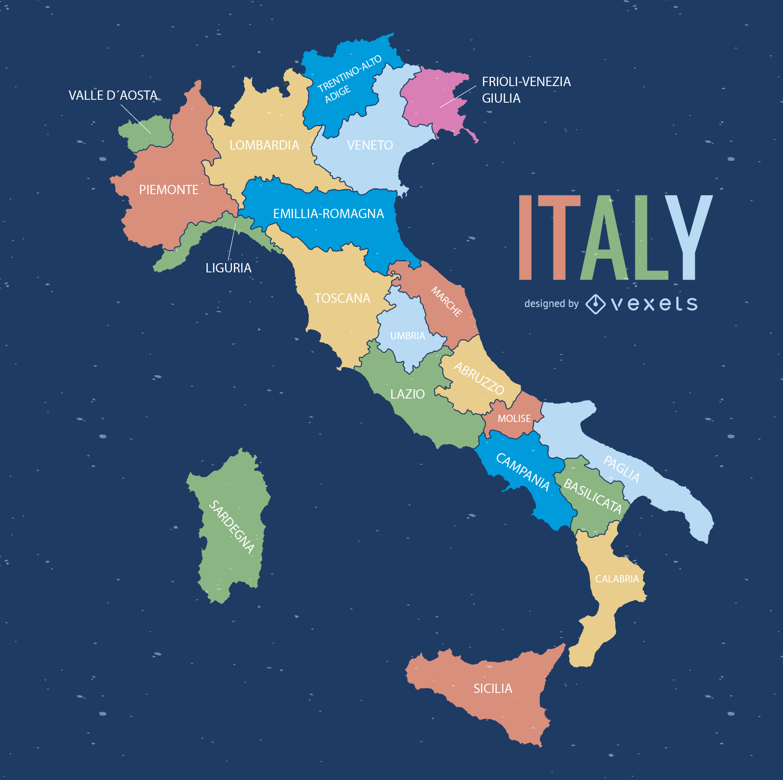
Italy map illustration
Choose a folder
All favorites
Create new
Save
Italy map illustration
Italia Vector
Choose a folder
All favorites
Create new
Save
Italia Vector
Blue Wavy Background with World Map and Planet
Choose a folder
All favorites
Create new
Save
Blue Wavy Background with World Map and Planet
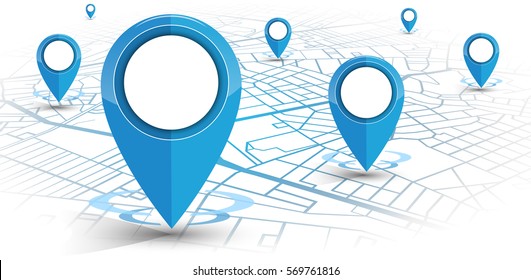
Vector Map Markers
Choose a folder
All favorites
Create new
Save
Vector Map Markers
World Map with Flat Markers
Choose a folder
All favorites
Create new
Save
World Map with Flat Markers
Executive workers world map background
Choose a folder
All favorites
Create new
Save
Executive workers world map background
United Kingdom 3d map
Choose a folder
All favorites
Create new
Save
United Kingdom 3d map
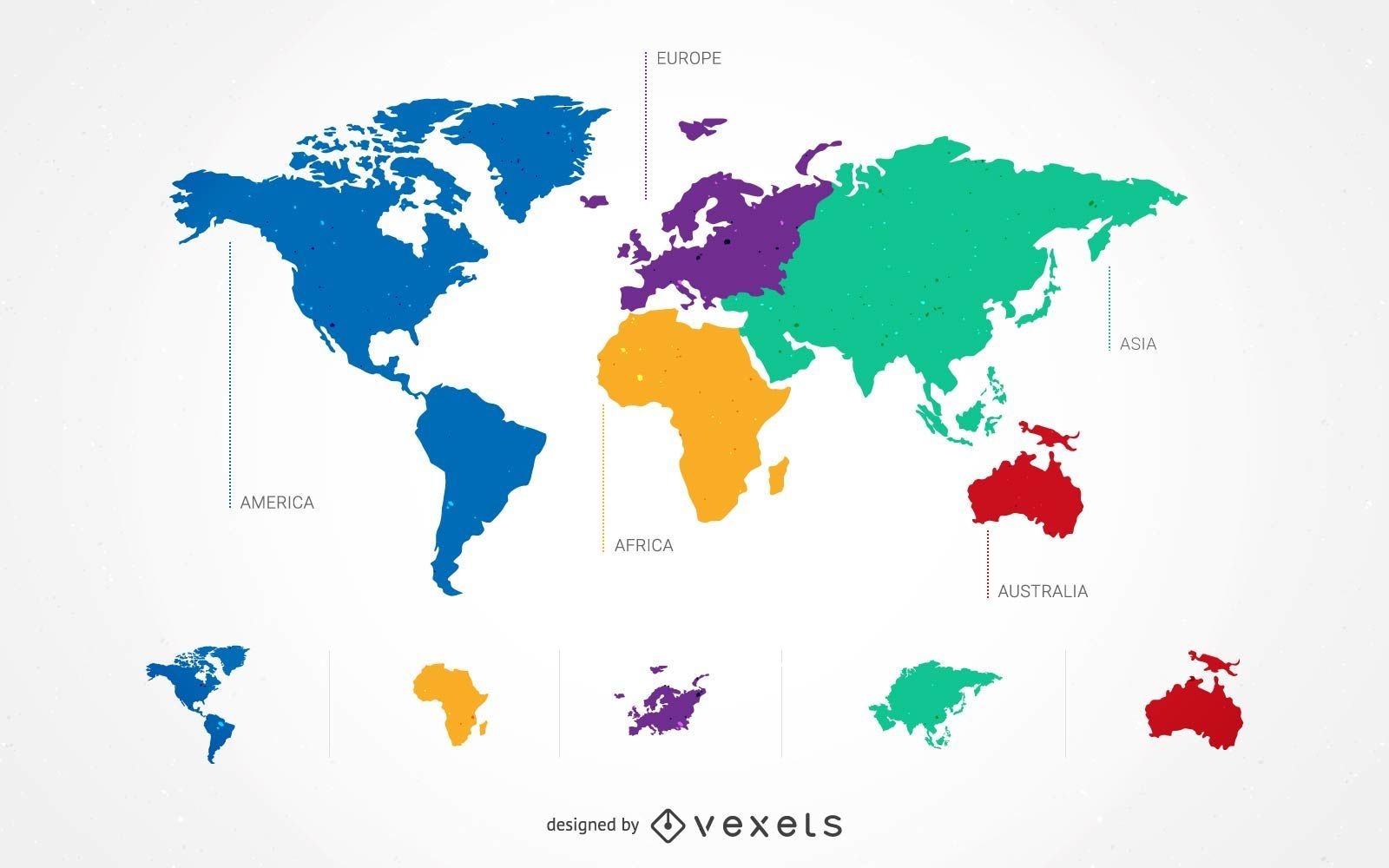
5 Continent World Map Set
Choose a folder
All favorites
Create new
Save
5 Continent World Map Set
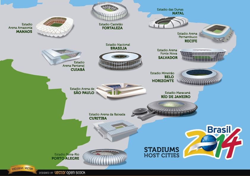
Stadiums hosts cities Brazil 2014 map
Choose a folder
All favorites
Create new
Save
Stadiums hosts cities Brazil 2014 map
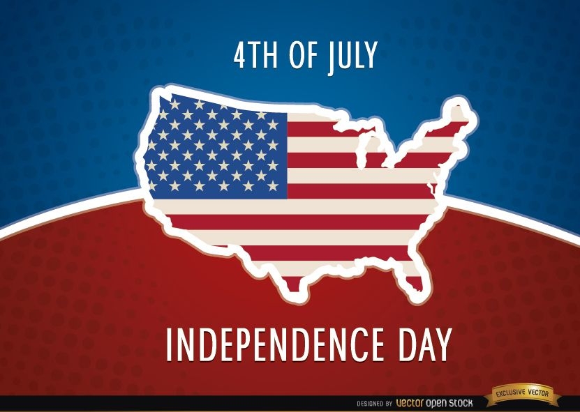
United States map flag July 4th
Choose a folder
All favorites
Create new
Save
United States map flag July 4th
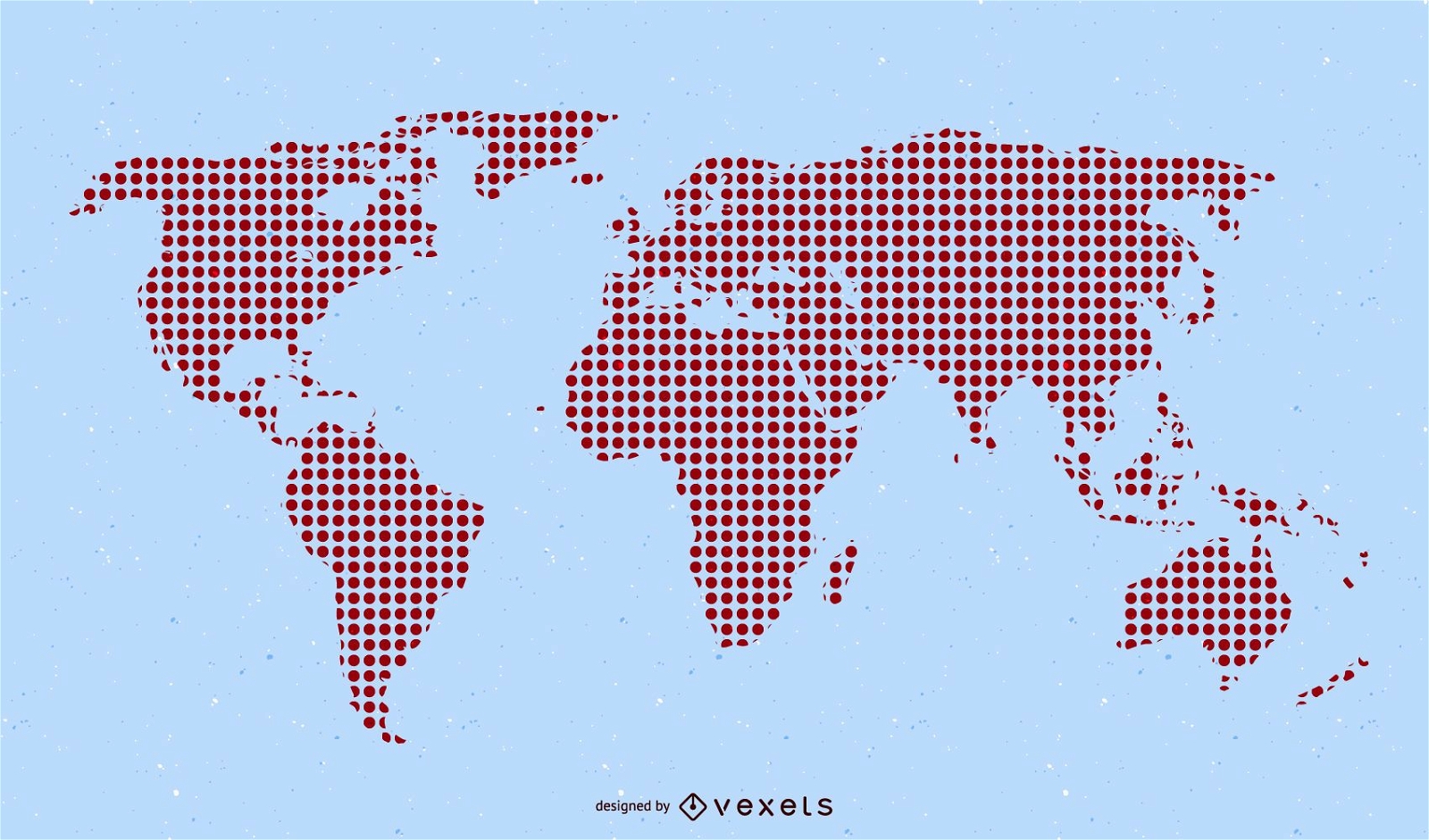
Red Pixilated World Map
Choose a folder
All favorites
Create new
Save
Red Pixilated World Map
Nautical Chart Earth Map
Choose a folder
All favorites
Create new
Save
Nautical Chart Earth Map
Vector Earth
Choose a folder
All favorites
Create new
Save
Vector Earth
Earth Day written world map
Choose a folder
All favorites
Create new
Save
Earth Day written world map
Businessman with Global Map and Airplane
Choose a folder
All favorites
Create new
Save
Businessman with Global Map and Airplane
Premium
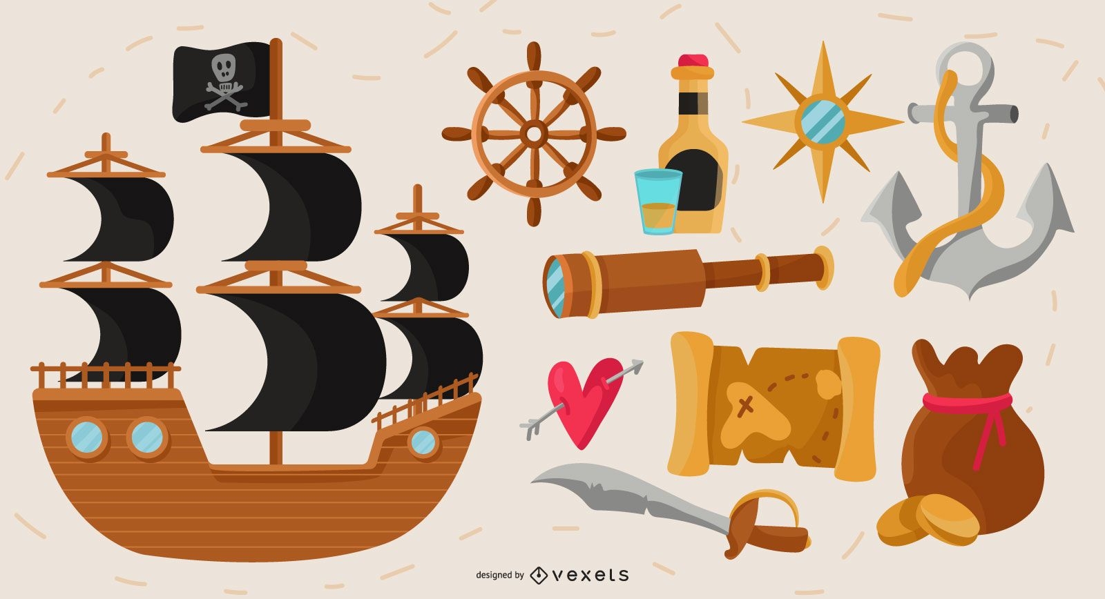
Pirate elements vector set
Choose a folder
All favorites
Create new
Save
Pirate elements vector set
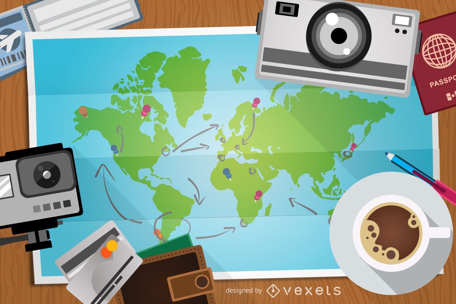
Travel illustration with map and elements
Choose a folder
All favorites
Create new
Save
Travel illustration with map and elements
Business team world map background
Choose a folder
All favorites
Create new
Save
Business team world map background
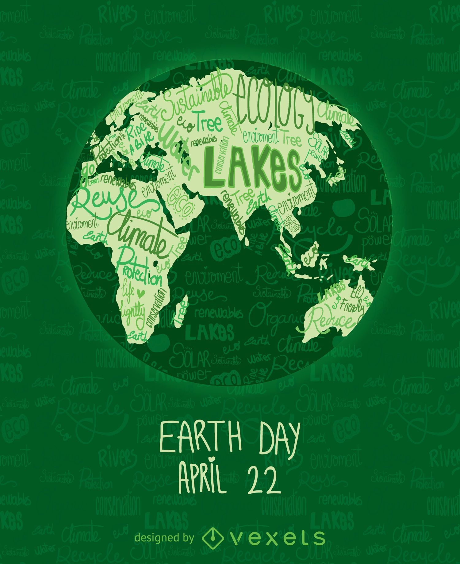
Earth Day poster with written world map
Choose a folder
All favorites
Create new
Save
Earth Day poster with written world map
Premium
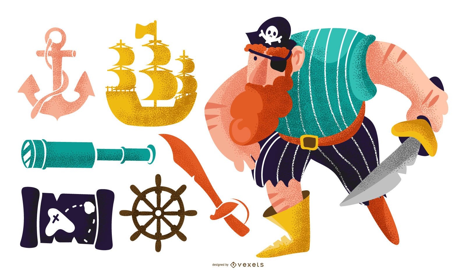
Pirate elements vector pack
Choose a folder
All favorites
Create new
Save
Pirate elements vector pack
Premium
Pirate colorful vector set
Choose a folder
All favorites
Create new
Save
Pirate colorful vector set
Web 2.0 vector icons
Choose a folder
All favorites
Create new
Save
Web 2.0 vector icons
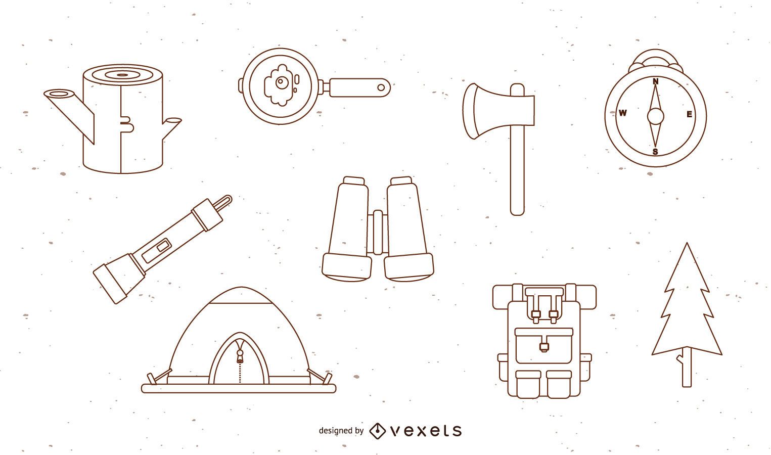
Free Vector Camping Set
Choose a folder
All favorites
Create new
Save
Free Vector Camping Set
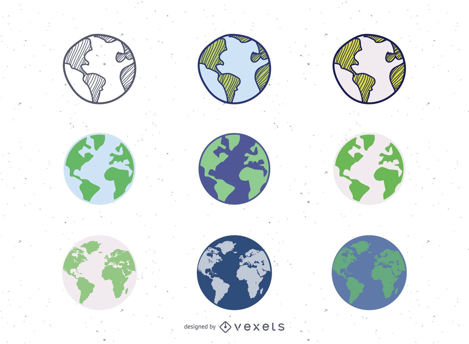
9 Vector Globes Set
Choose a folder
All favorites
Create new
Save
9 Vector Globes Set
Letters Plate Design Vector
Choose a folder
All favorites
Create new
Save
Letters Plate Design Vector
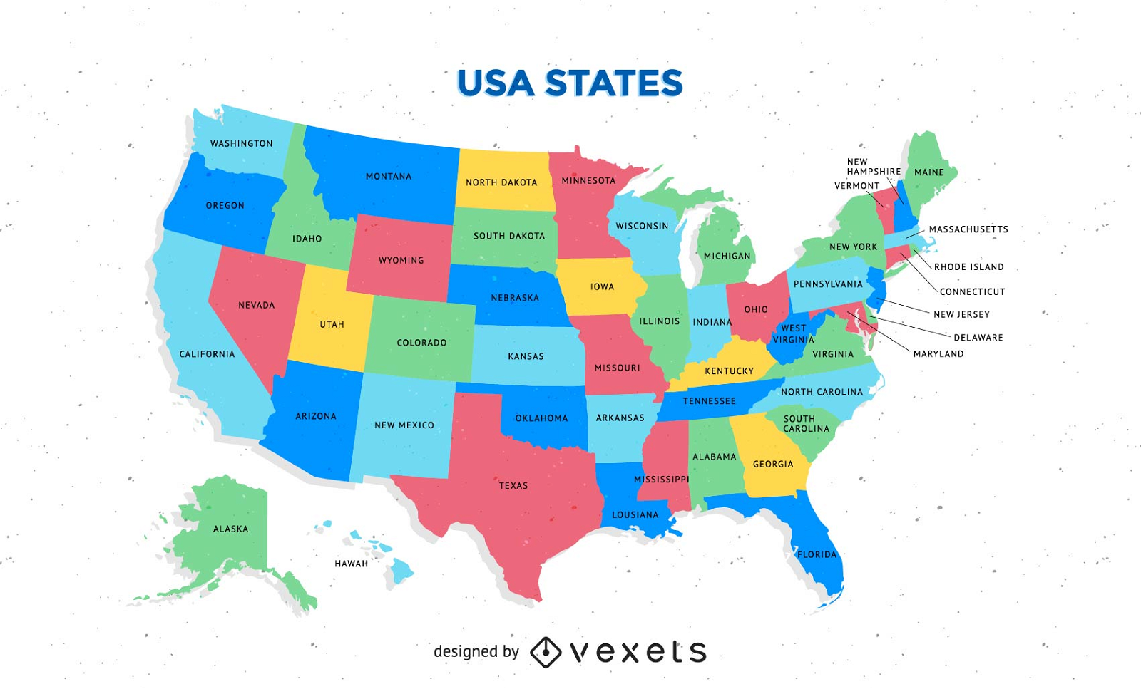
Free Colorful Usa Map With States Vector
Choose a folder
All favorites
Create new
Save
Free Colorful Usa Map With States Vector
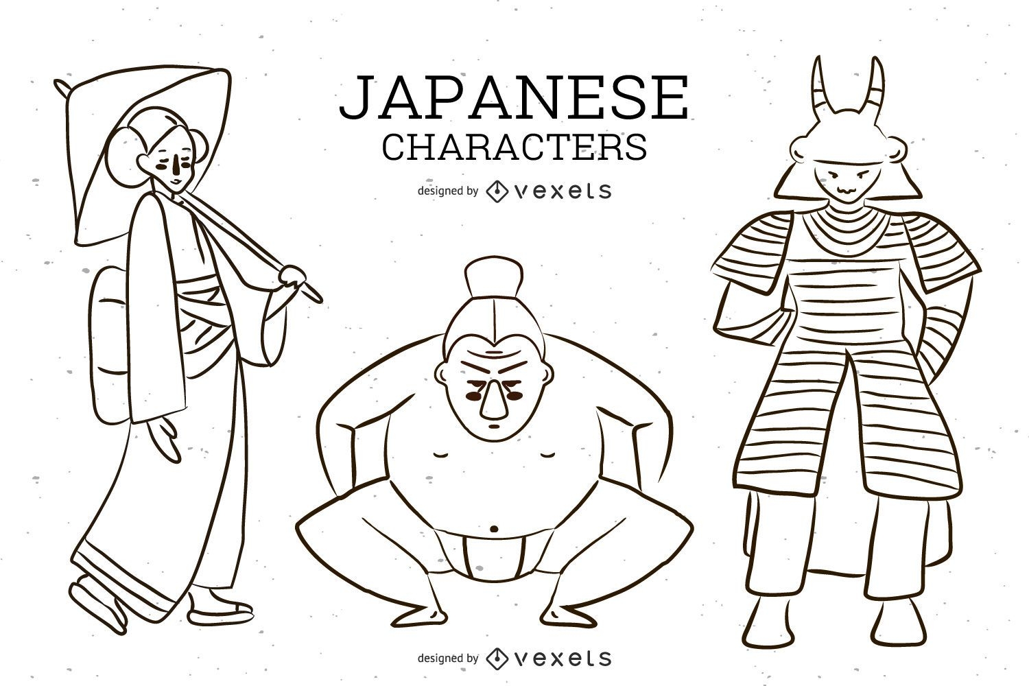
Japanese Character Vector
Choose a folder
All favorites
Create new
Save
Japanese Character Vector
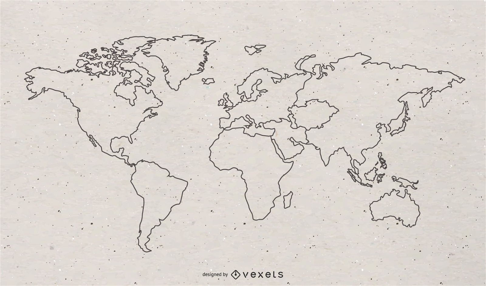
Free World Continental Vector Map
Choose a folder
All favorites
Create new
Save
Free World Continental Vector Map
Premium
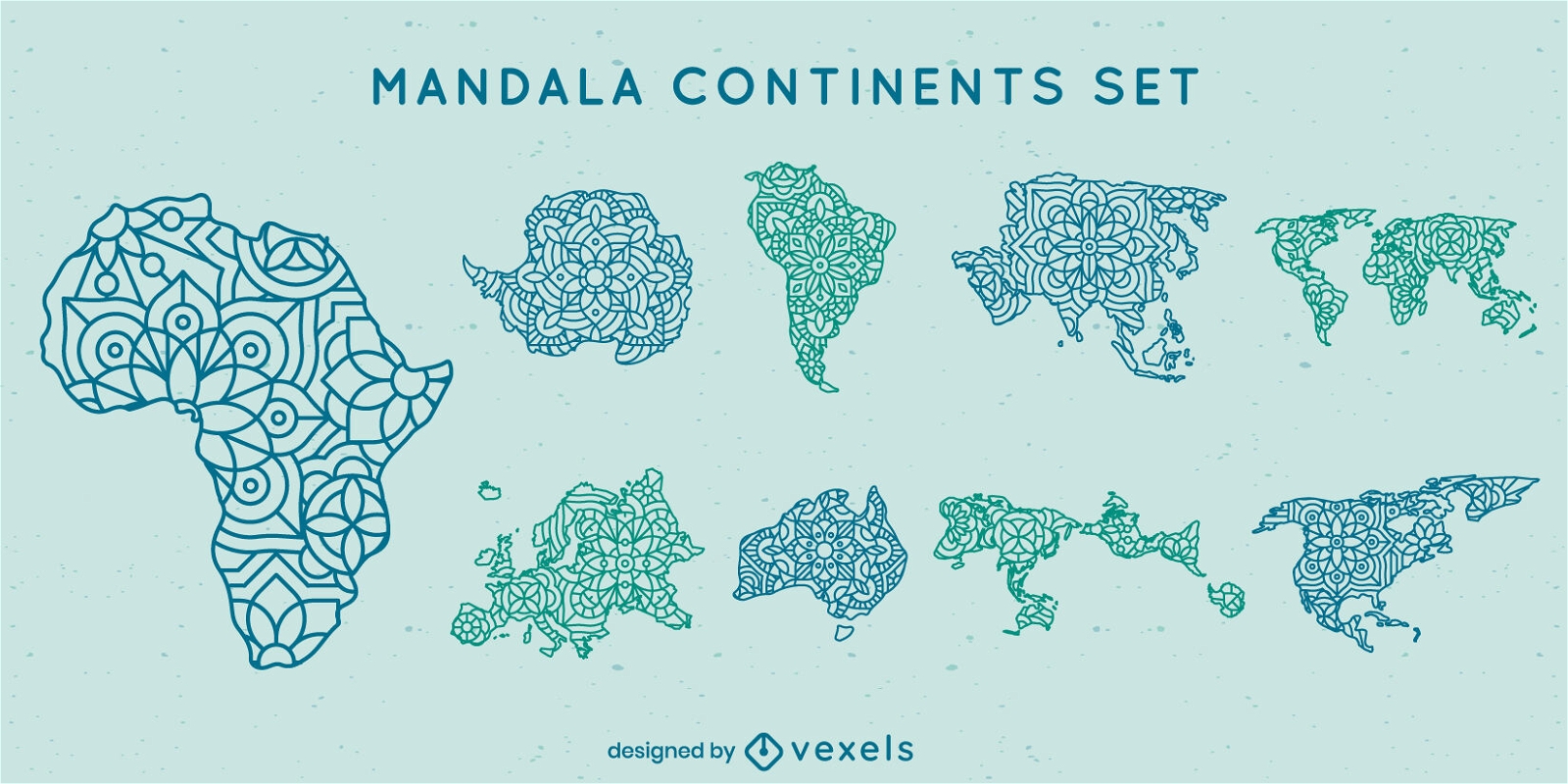
Mandala continents map set
Choose a folder
All favorites
Create new
Save
Mandala continents map set
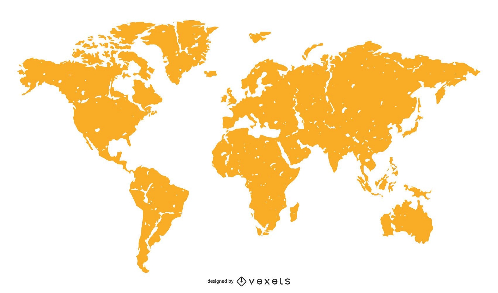
World Map Orange Silhouette
Choose a folder
All favorites
Create new
Save
World Map Orange Silhouette
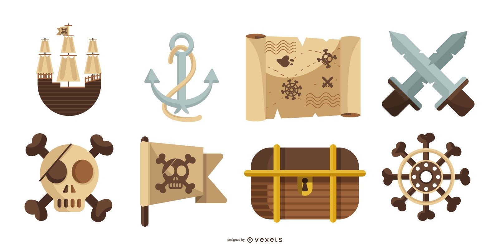
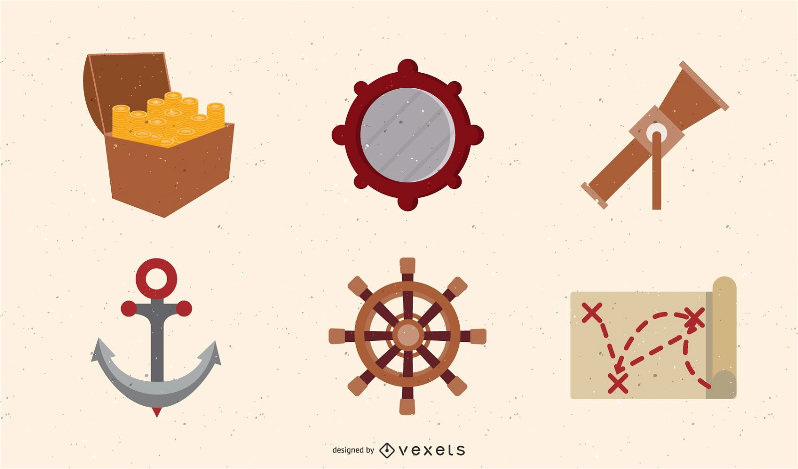
Pirate Treasure Vector Set
Choose a folder
All favorites
Create new
Save
Pirate Treasure Vector Set
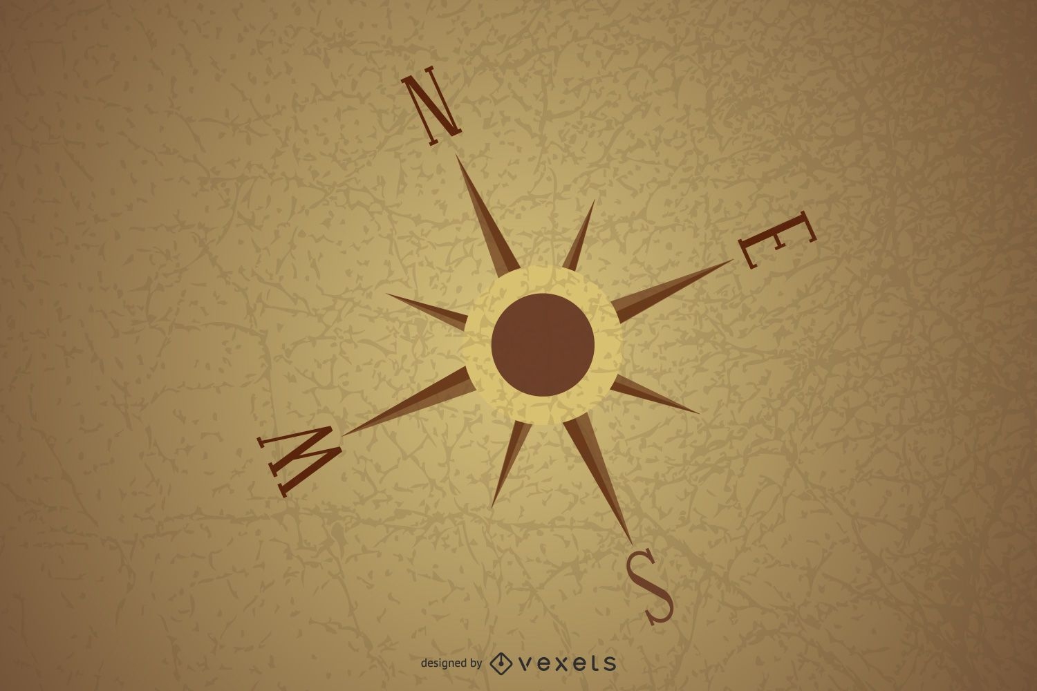
Old Map And Compass Vector 2
Choose a folder
All favorites
Create new
Save
Old Map And Compass Vector 2
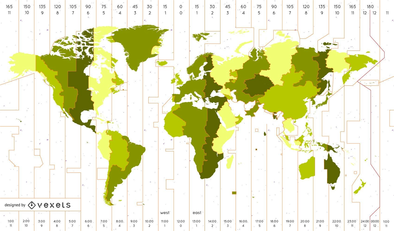
World Time Zone Map Identifies The Vector
Choose a folder
All favorites
Create new
Save
World Time Zone Map Identifies The Vector
Vector Info Pointer Icon
Choose a folder
All favorites
Create new
Save
Vector Info Pointer Icon
navigation icon 5 vector
Choose a folder
All favorites
Create new
Save
navigation icon 5 vector
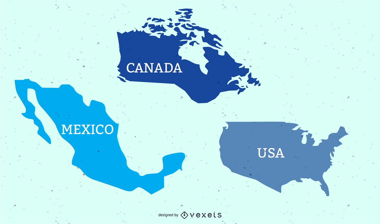
USA Canada & Mexican Flat Map
Choose a folder
All favorites
Create new
Save
USA Canada & Mexican Flat Map
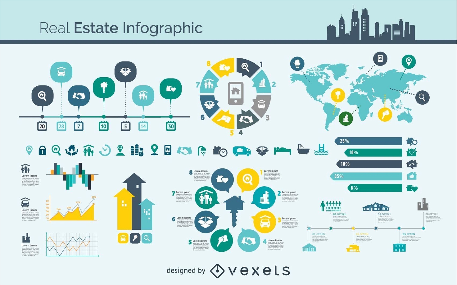
Real Estate Infographic Vector
Choose a folder
All favorites
Create new
Save
Real Estate Infographic Vector
Vector laptop with keyboard map
Choose a folder
All favorites
Create new
Save
Vector laptop with keyboard map
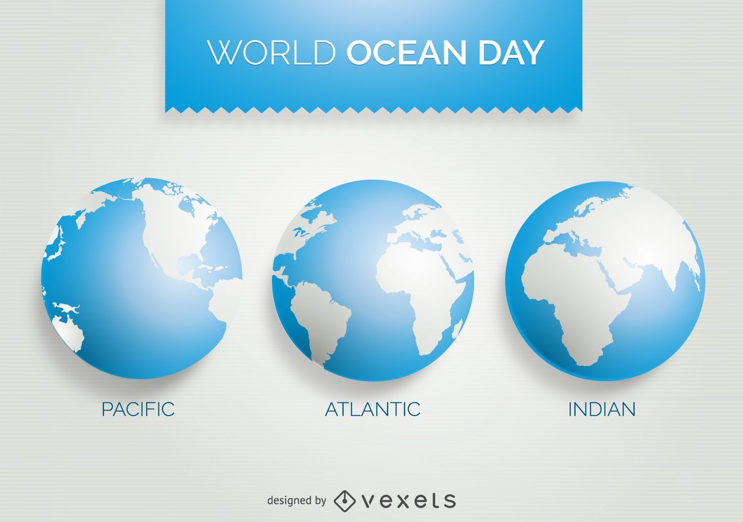
World Ocean Day 3 world map design
Choose a folder
All favorites
Create new
Save
World Ocean Day 3 world map design
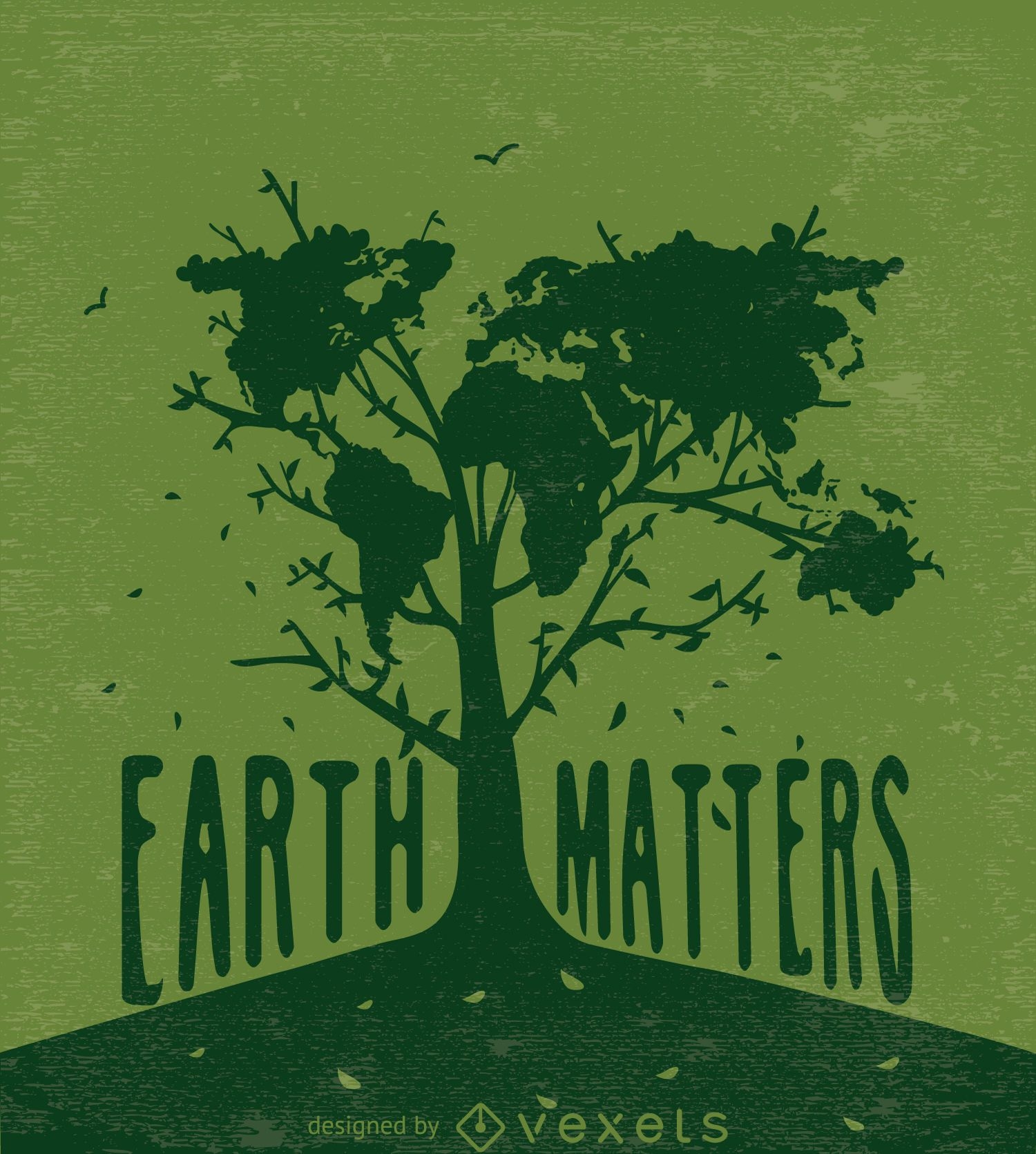
Earth matters-Tree with world map in green
Choose a folder
All favorites
Create new
Save
Earth matters-Tree with world map in green
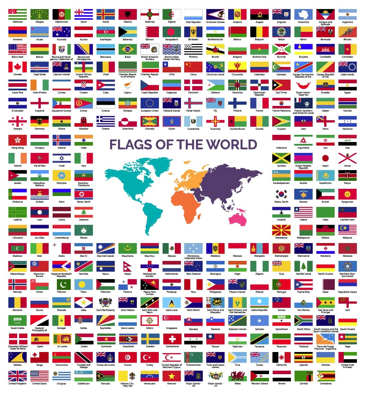
World Flags collection
Choose a folder
All favorites
Create new
Save
World Flags collection
Rounded Contact Icons
Choose a folder
All favorites
Create new
Save
Rounded Contact Icons
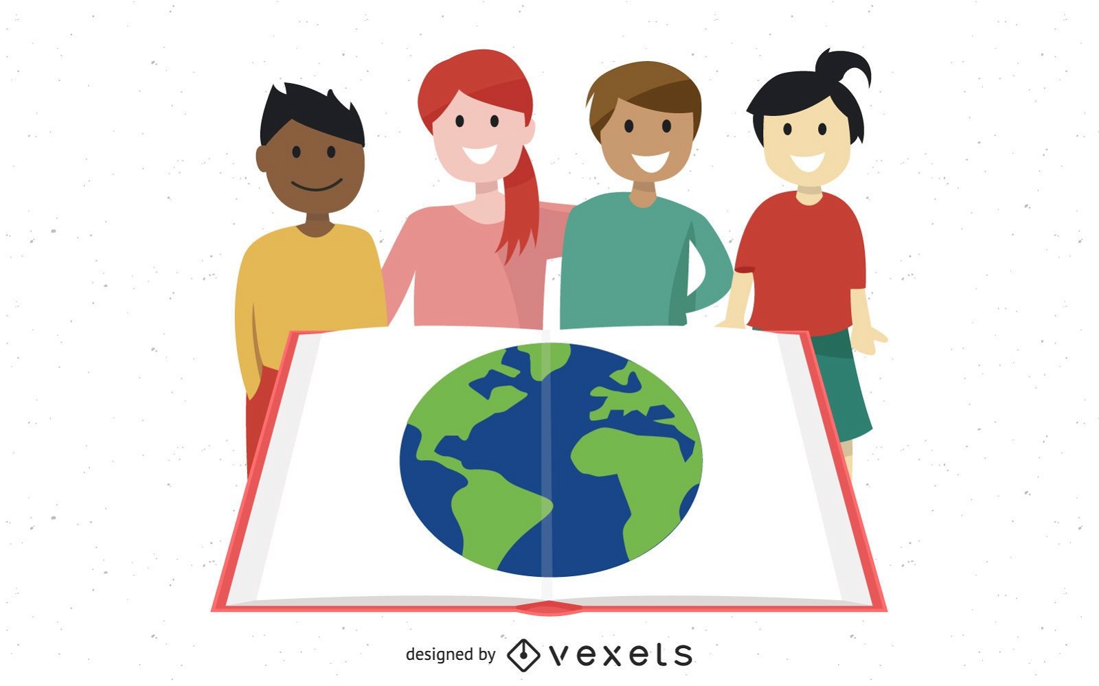
Group Studying Kids with Globe in Open Book
Choose a folder
All favorites
Create new
Save
Group Studying Kids with Globe in Open Book
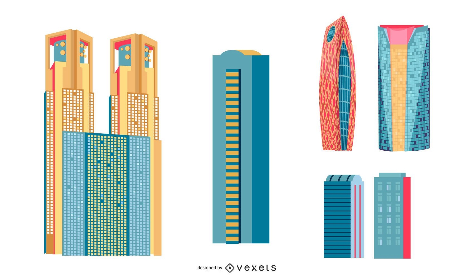
Japanese Buildings
Choose a folder
All favorites
Create new
Save
Japanese Buildings
Boost Your Business
With The Leading Graphic Platform For Merch.
SEE PLANS
Next
of 6
prev page
next page