Design Library
Explore Designs
New Merch Designs
Trending Merch Designs
Vectors
PNGs & SVGs
Mockups
T-Shirts
T-Shirt PSD Templates
KDP Designs
Phone Cases
Pillows
Tote Bags
Posters
Mugs
Design Tools
Designer
New!
T-shirt Maker
Mockup Generator
Quote Generator
Logo Maker
Resources
Merch Digest
Blog
Help Center
Creators Program
Learn About Merch
Changelog
Pricing
Loading...
Sign Up
Login
Merch Vectors
new
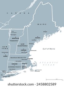
england
Design Library
Explore Designs
New Merch Designs
Trending Merch Designs
Vectors
PNGs & SVGs
Mockups
T-Shirts
T-Shirt PSD Templates
KDP Designs
Phone Cases
Pillows
Tote Bags
Posters
Mugs
Design Tools
Designer
New!
T-shirt Maker
Mockup Generator
Quote Generator
Logo Maker
Resources
Merch Digest
Blog
Help Center
Creators Program
Learn About Merch
Changelog
PLANS
Merch Vectors
new
england
65 new england Vector Designs for T-Shirts and merch
Download & buy editable new england AI Vector Graphics Designs for T shirts, Phone Cases, Book Covers and other Merch
Sort by
Most relevant
Sponsored results by
Get 15% off with code: VEXELS15
Show more
Edit in T-shirt Maker
Queen flowers silhouette editable t-shirt template
Edit in T-shirt Maker
Queen flowers editable t-shirt template
Edit in T-shirt Maker
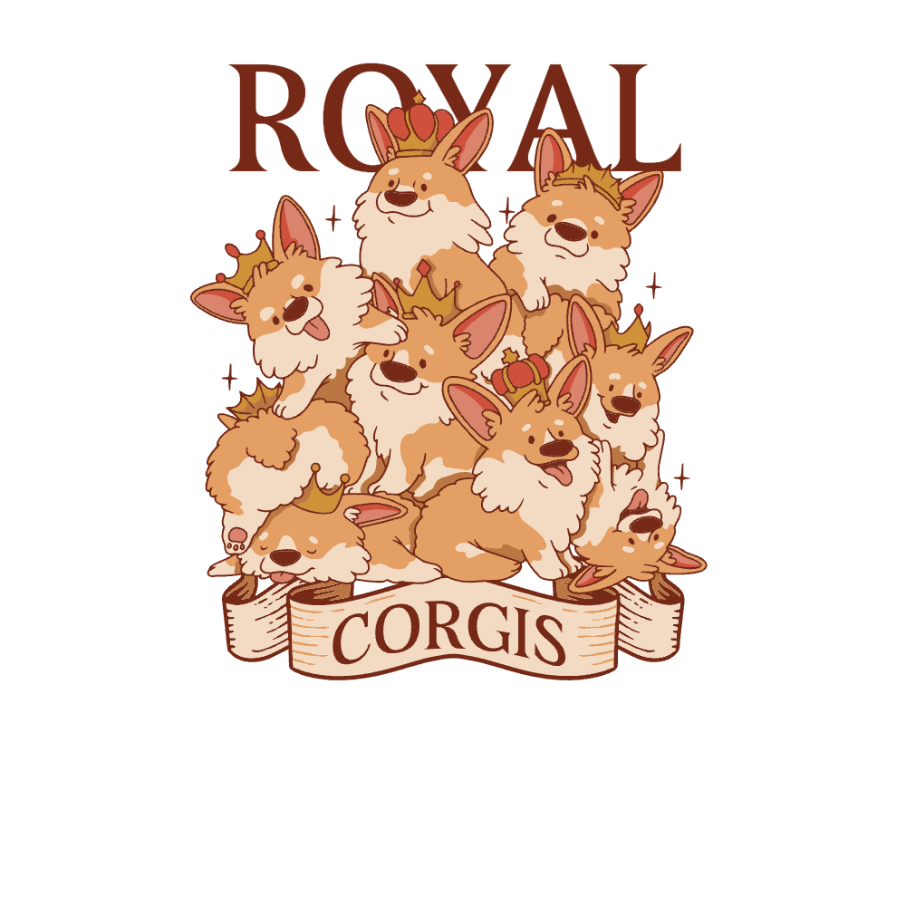
Royal corgis editable t-shirt template
Edit in T-shirt Maker
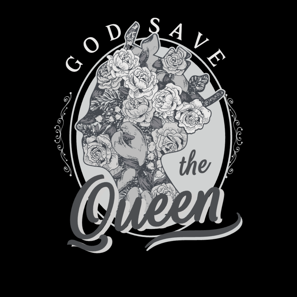
Save the queen editable t-shirt design template
Edit in T-shirt Maker
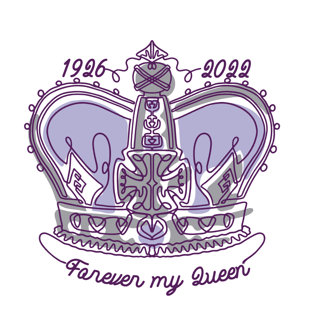
Queen crown monoline editable t-shirt template
Edit in T-shirt Maker
RIP queen editable t-shirt template |T-Shirt Maker
Edit in T-shirt Maker
England queen editable t-shirt design template
Edit in T-shirt Maker
Queen of England editable t-shirt design template
Edit in T-shirt Maker
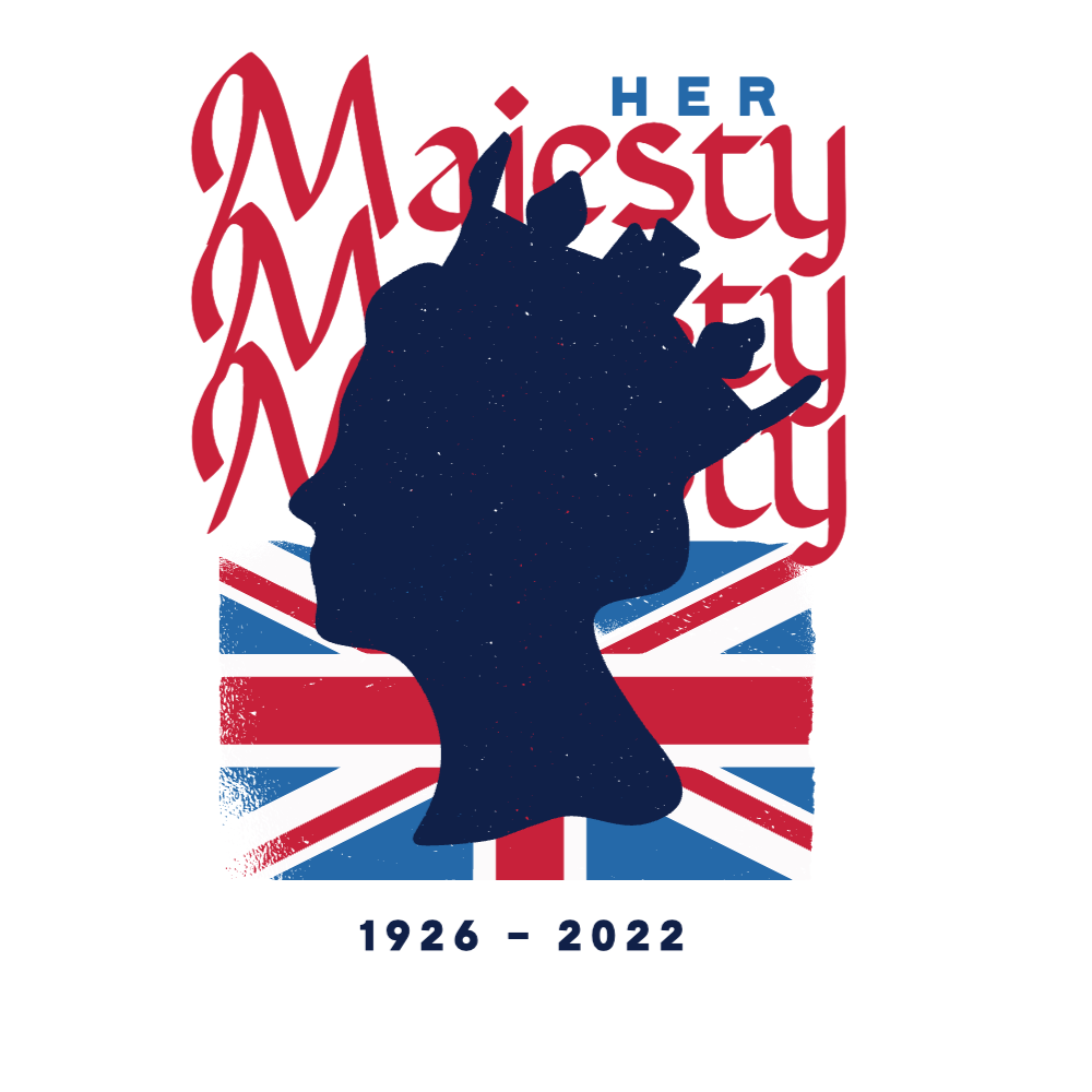
Her majesty editable t-shirt template
Edit in T-shirt Maker
Longest monarch editable t-shirt template
Edit in T-shirt Maker
Floral queen editable t-shirt design template
Edit in T-shirt Maker
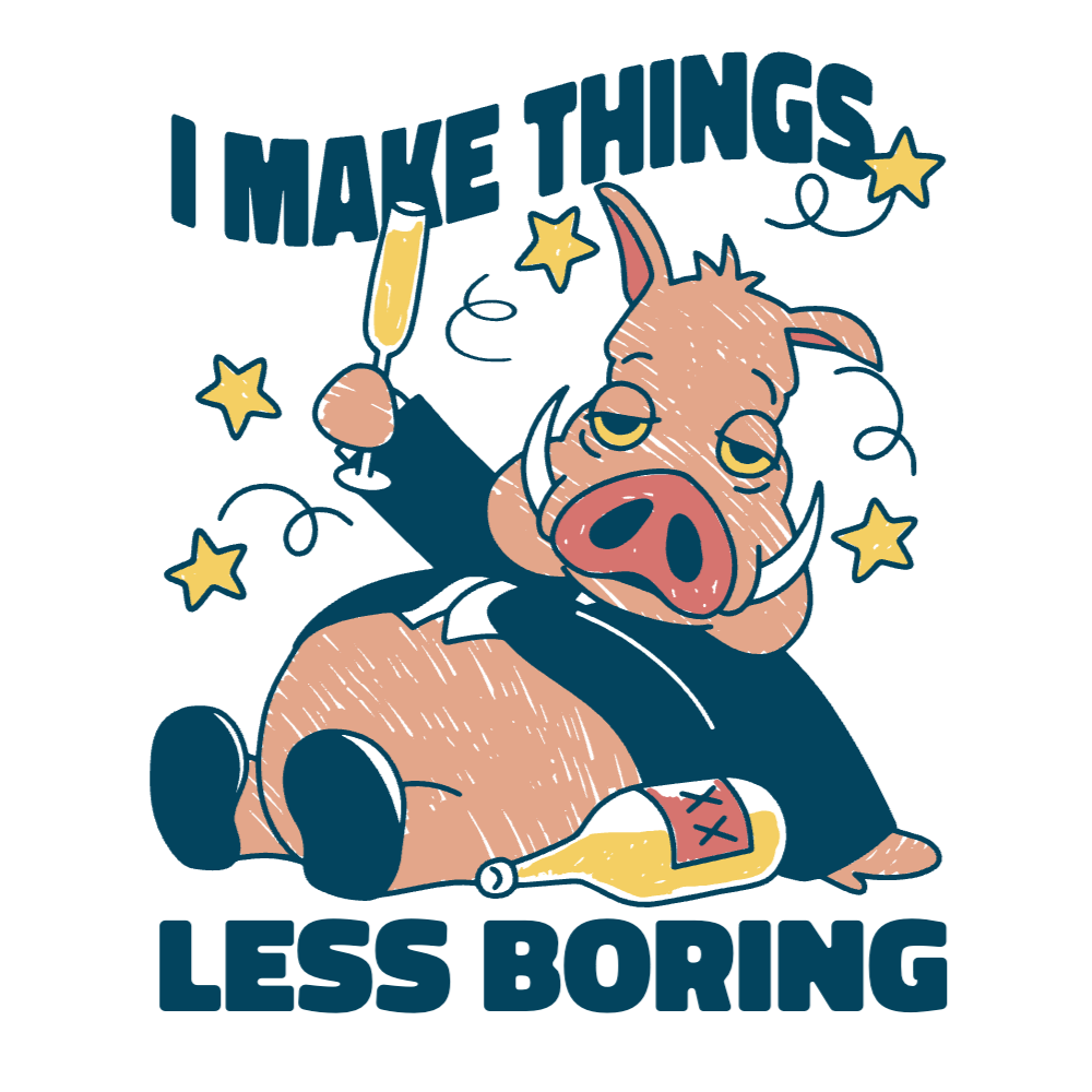
New Year pig editable t-shirt template
Edit in T-shirt Maker
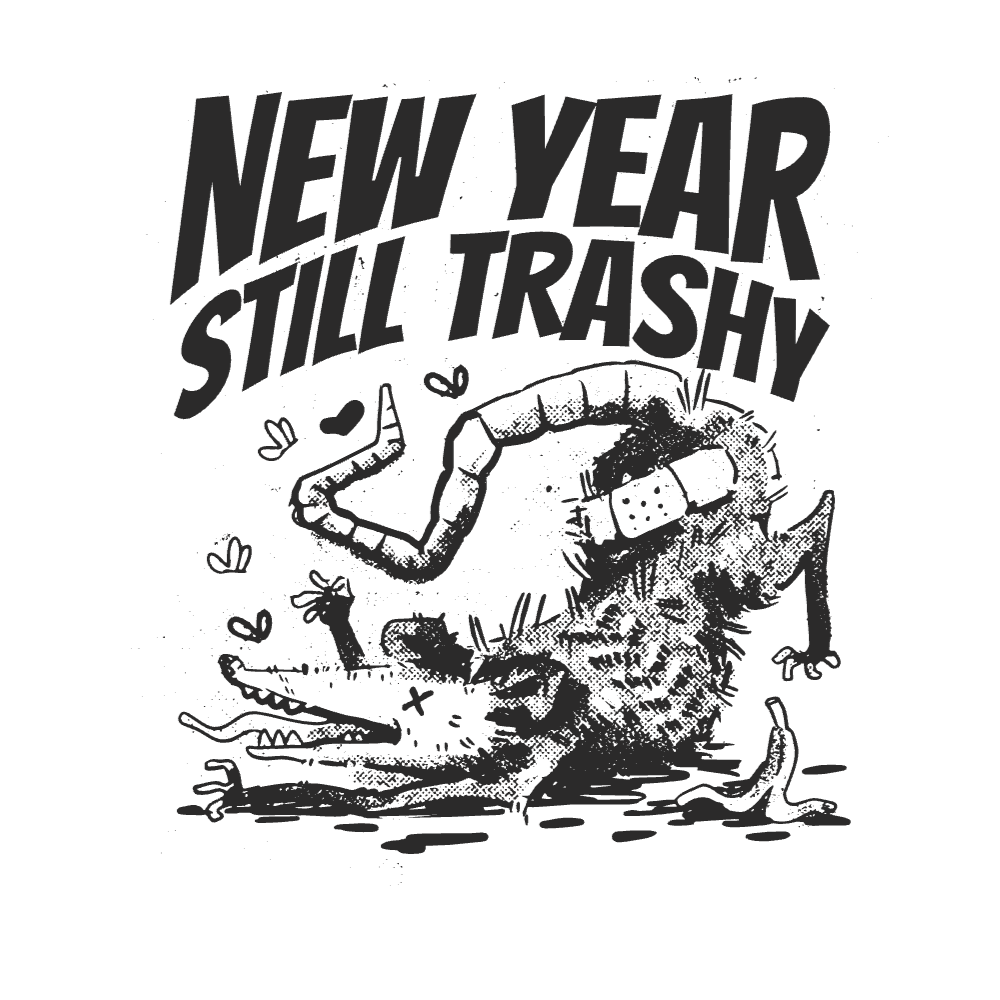
Still trashy rat editable t-shirt template
Edit in T-shirt Maker
Girl phone editable t-shirt template
Edit in T-shirt Maker
Happy lame year editable t-shirt template
Edit in T-shirt Maker
Drunk rat new year editable t-shirt template
Edit in T-shirt Maker
2022 check Reaper editable t-shirt template
Edit in T-shirt Maker
Rat trash bin editable t-shirt design template
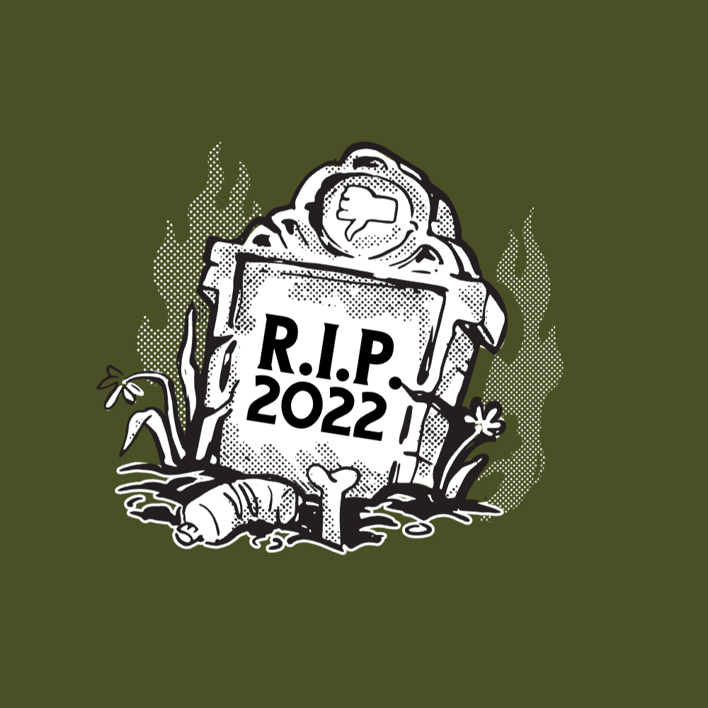
Edit in T-shirt Maker
RIP 2022 editable t-shirt template| Create Merch
Edit in T-shirt Maker
Lost hype skull editable t-shirt template
Boost Your Business
With The Leading Graphic Platform For Merch.
SEE PLANS
of 2
prev page
next page