Design Library
Explore Designs
New Merch Designs
Trending Merch Designs
Vectors
PNGs & SVGs
Mockups
T-Shirts
T-Shirt PSD Templates
KDP Designs
Phone Cases
Pillows
Tote Bags
Posters
Mugs
Design Tools
Designer
New!
T-shirt Maker
Mockup Generator
Quote Generator
Logo Maker
Resources
Merch Digest
Blog
Help Center
Creators Program
Learn About Merch
Changelog
Pricing
Loading...
Sign Up
Login
Merch Vectors
norte
Design Library
Explore Designs
New Merch Designs
Trending Merch Designs
Vectors
PNGs & SVGs
Mockups
T-Shirts
T-Shirt PSD Templates
KDP Designs
Phone Cases
Pillows
Tote Bags
Posters
Mugs
Design Tools
Designer
New!
T-shirt Maker
Mockup Generator
Quote Generator
Logo Maker
Resources
Merch Digest
Blog
Help Center
Creators Program
Learn About Merch
Changelog
PLANS
Merch Vectors
norte
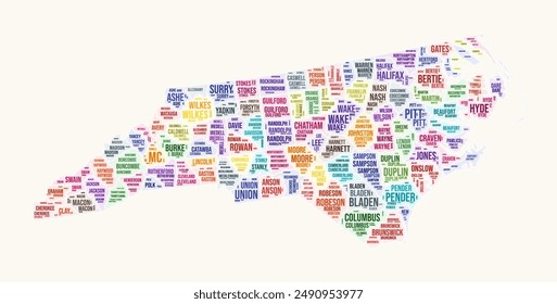
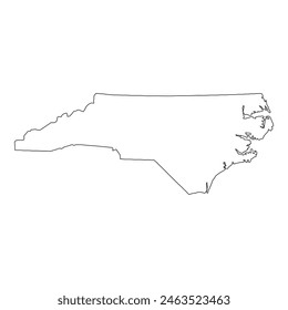
137 norte Vector Designs for T-Shirts and merch
Download & buy editable norte AI Vector Graphics Designs for T shirts, Phone Cases, Book Covers and other Merch
Sort by
Most relevant
Sponsored results by
Get 15% off with code: VEXELS15
Show more
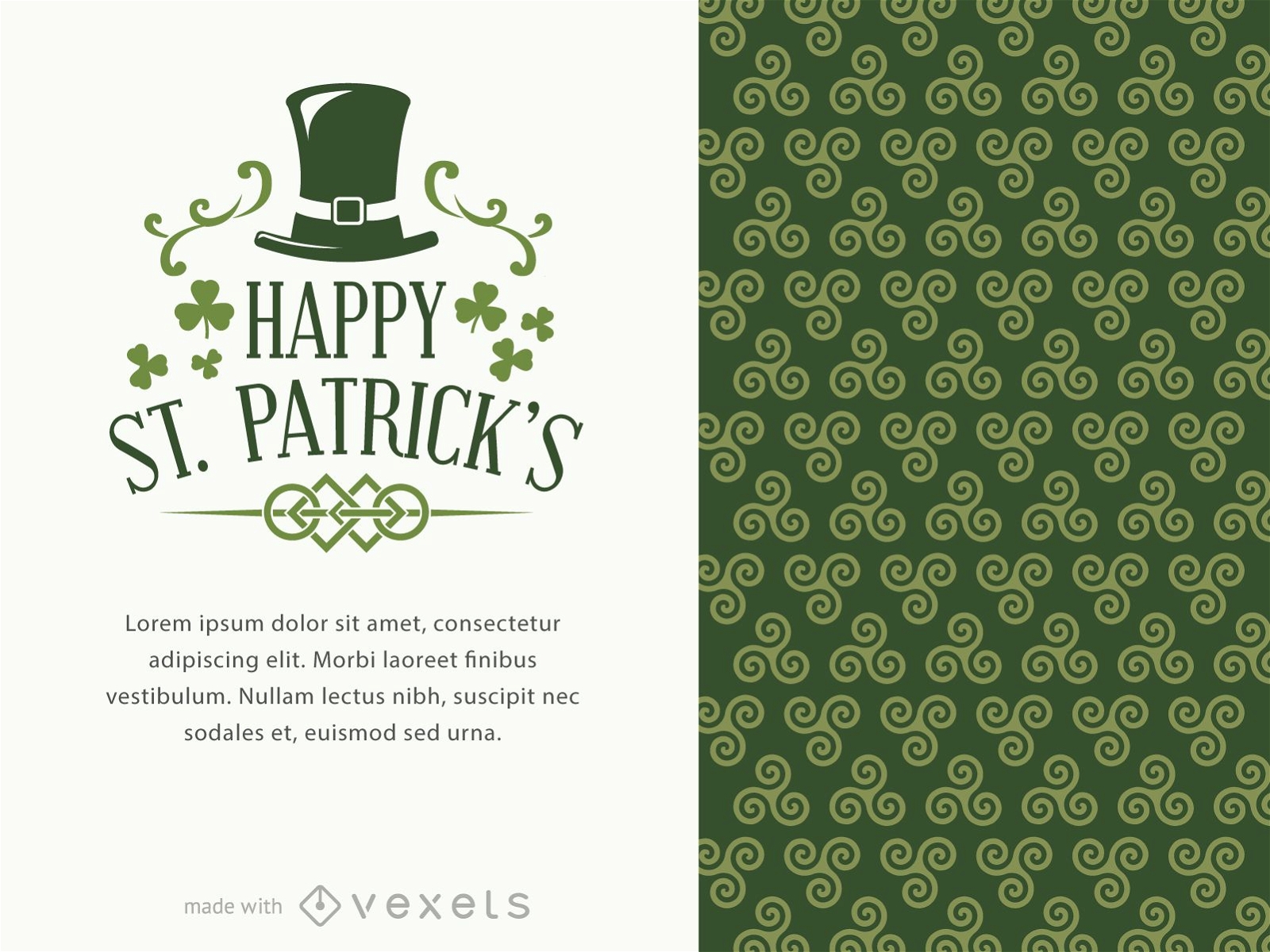
St. Patrick's poster maker
Choose a folder
All favorites
Create new
Save
St. Patrick's poster maker
Premium
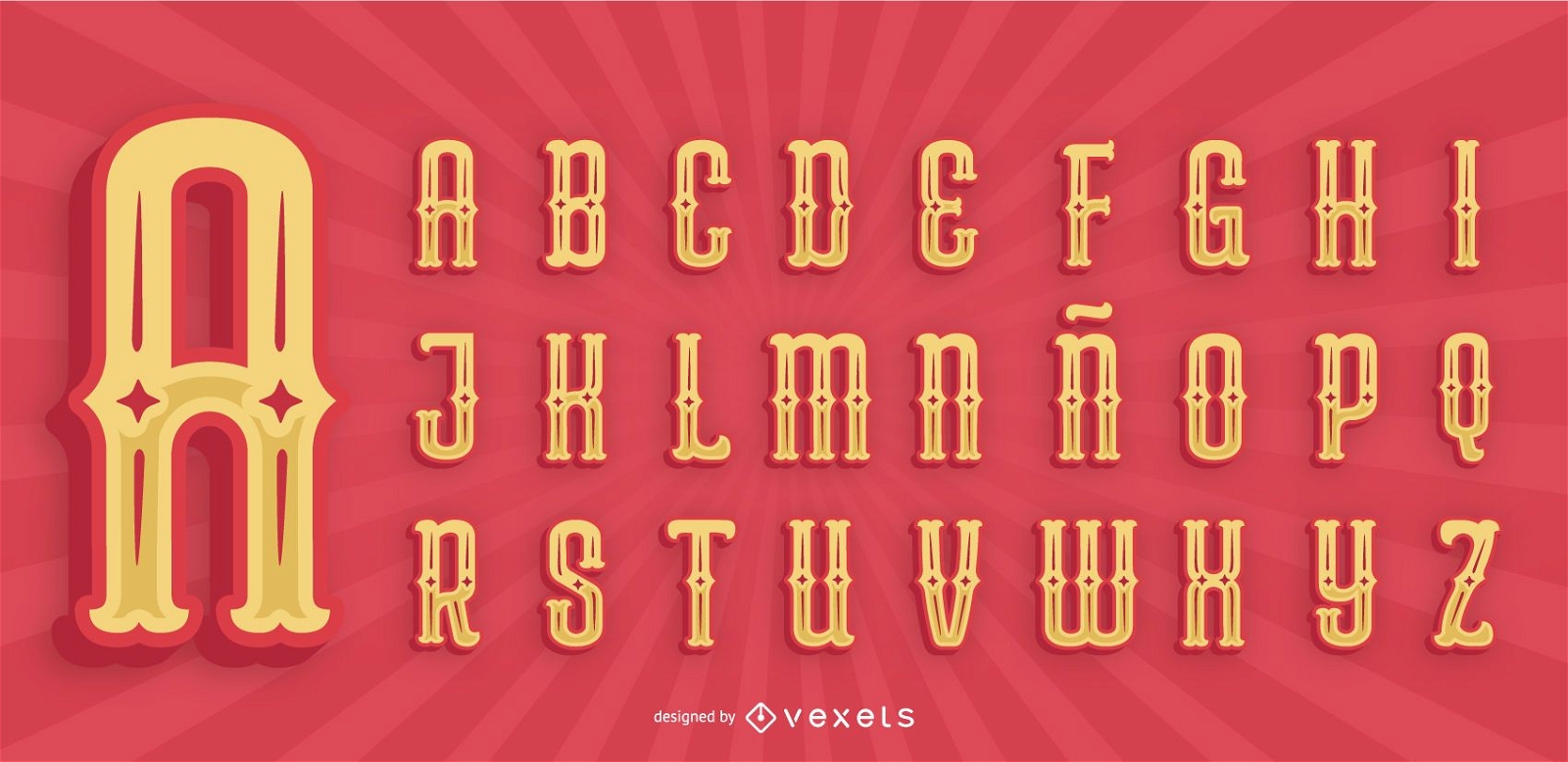
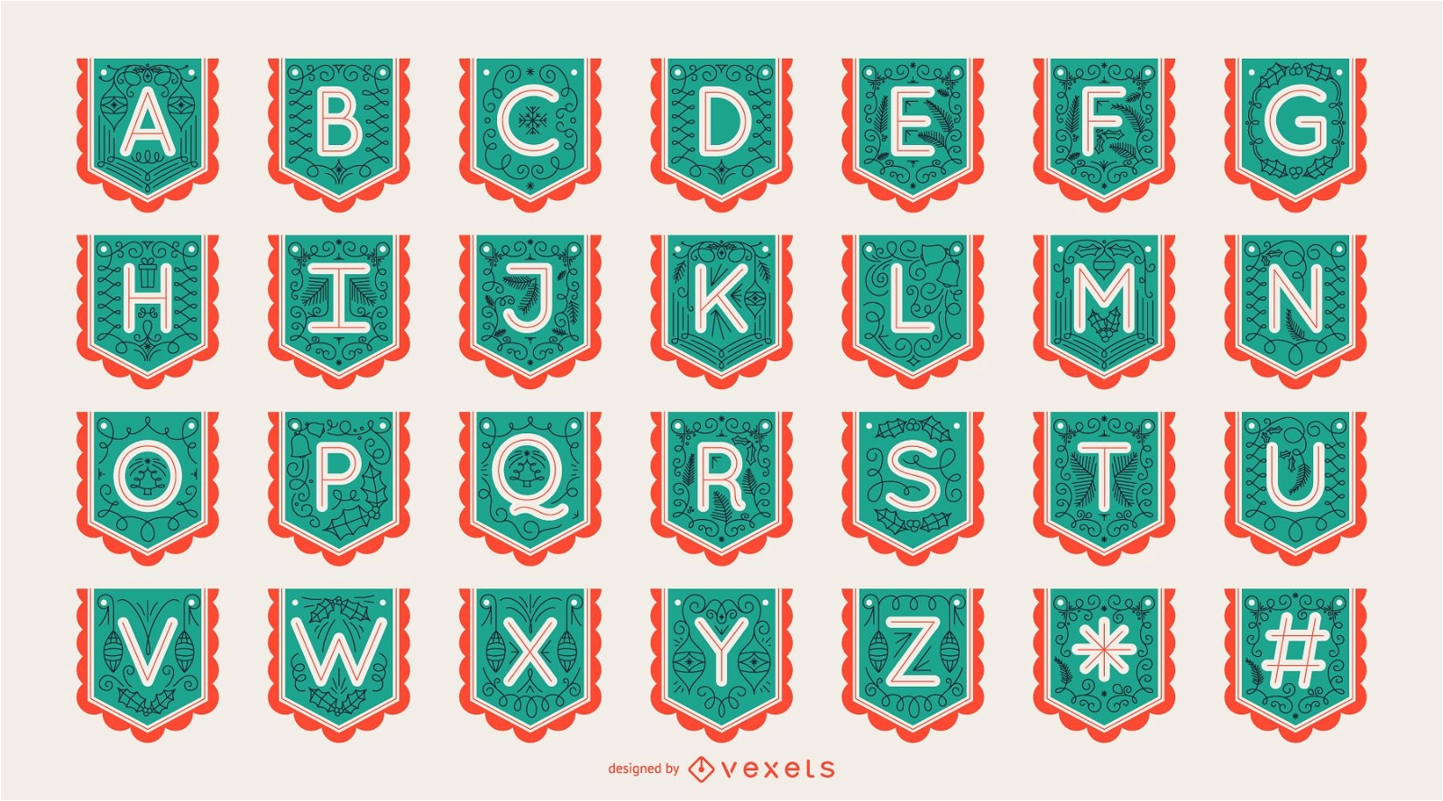
Mexican Style Alphabet Letter Pack
Choose a folder
All favorites
Create new
Save
Mexican Style Alphabet Letter Pack
Premium
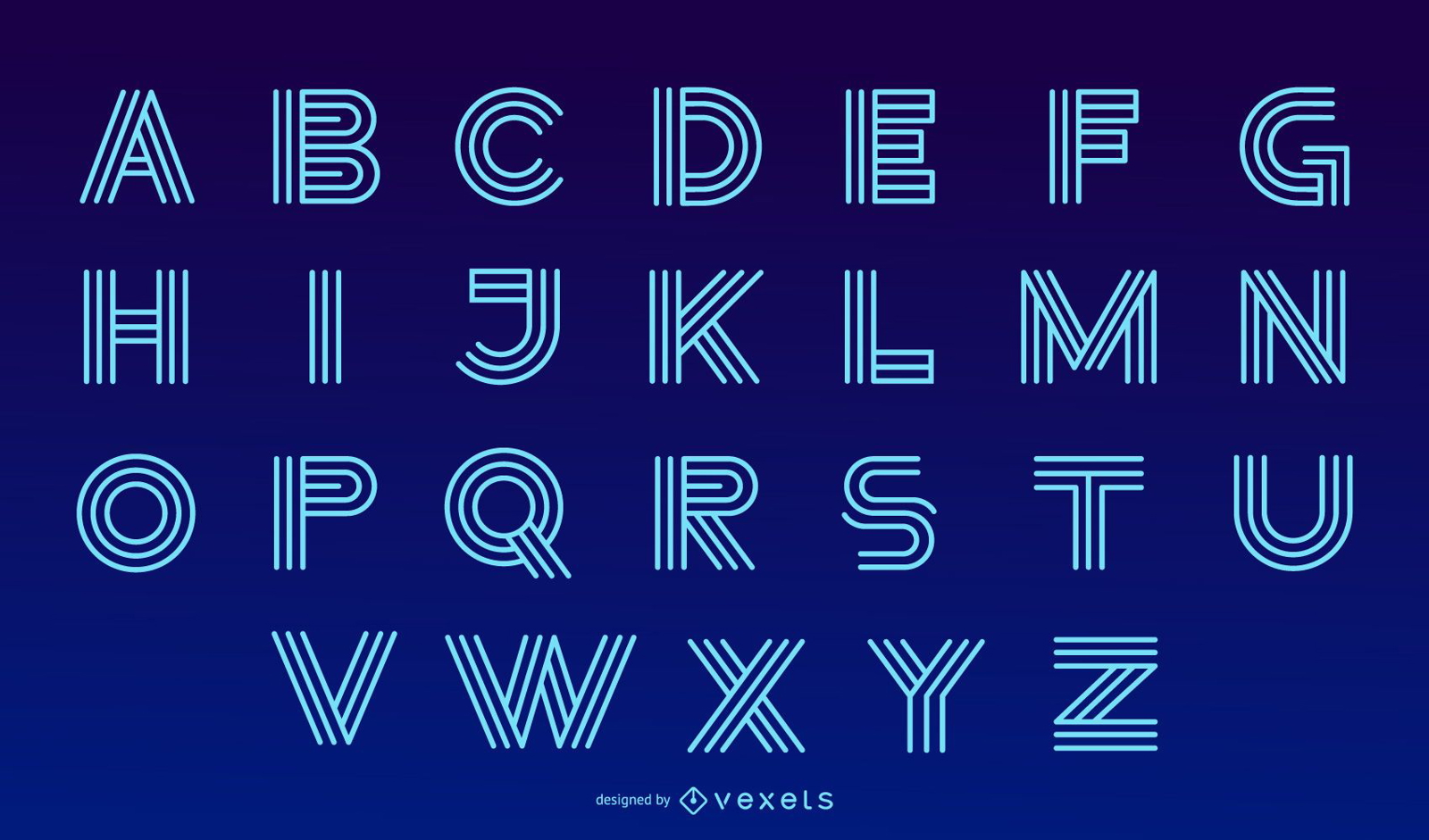
Neon Modern Alphabet Letter Design Set
Choose a folder
All favorites
Create new
Save
Neon Modern Alphabet Letter Design Set
Premium
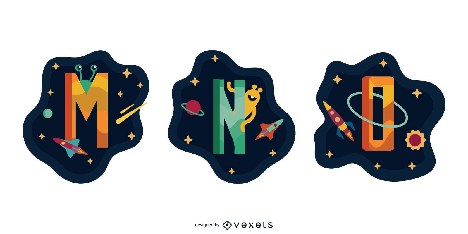
Animal Alphabet Illustrated Pack M N O P
Choose a folder
All favorites
Create new
Save
Animal Alphabet Illustrated Pack M N O P
Shiny holiday and Christmas icons
Choose a folder
All favorites
Create new
Save
Shiny holiday and Christmas icons
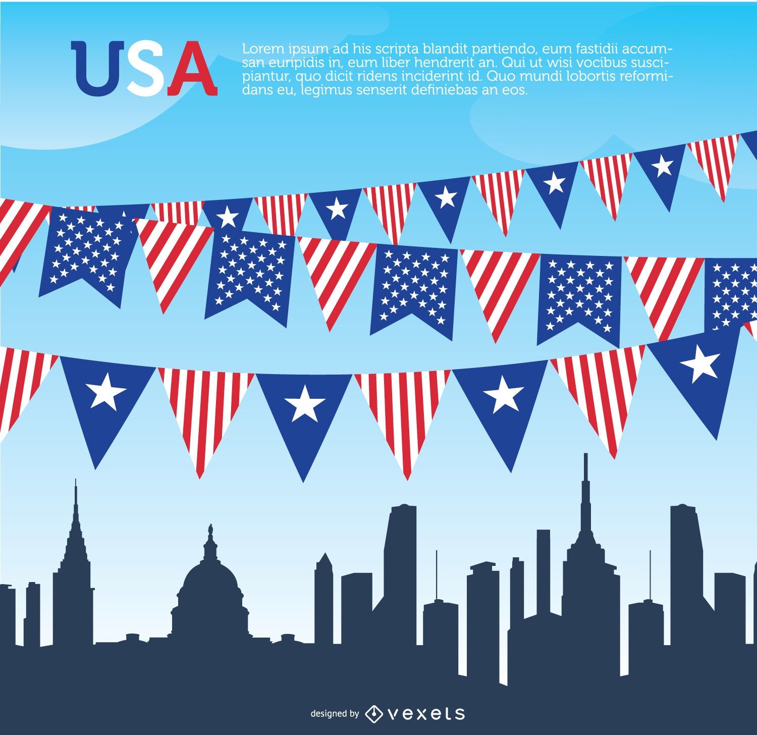
USA pennants and Skyline
Choose a folder
All favorites
Create new
Save
USA pennants and Skyline
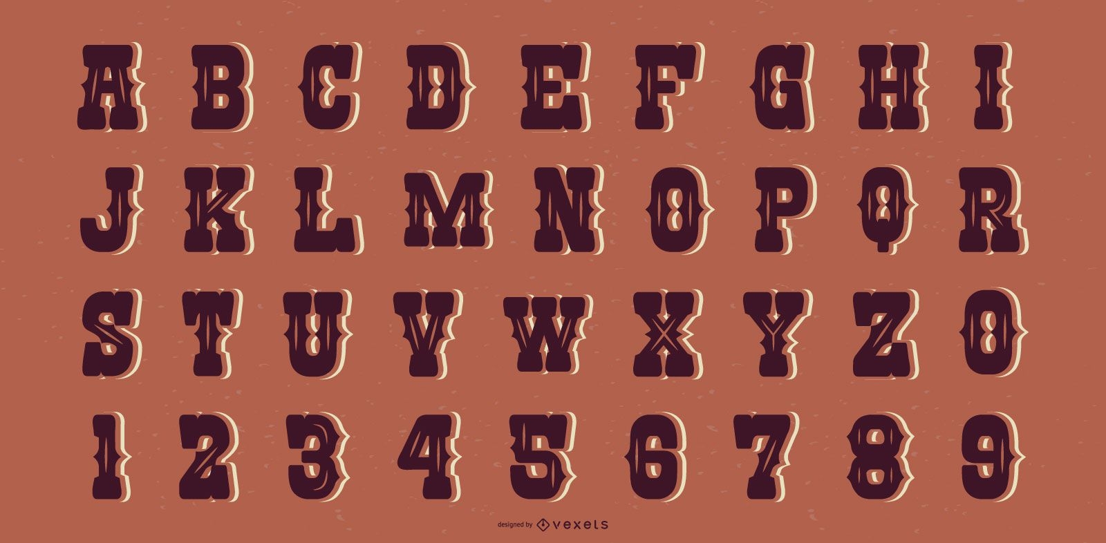
Western Style Alphabet Letter Number Set
Choose a folder
All favorites
Create new
Save
Western Style Alphabet Letter Number Set
Premium
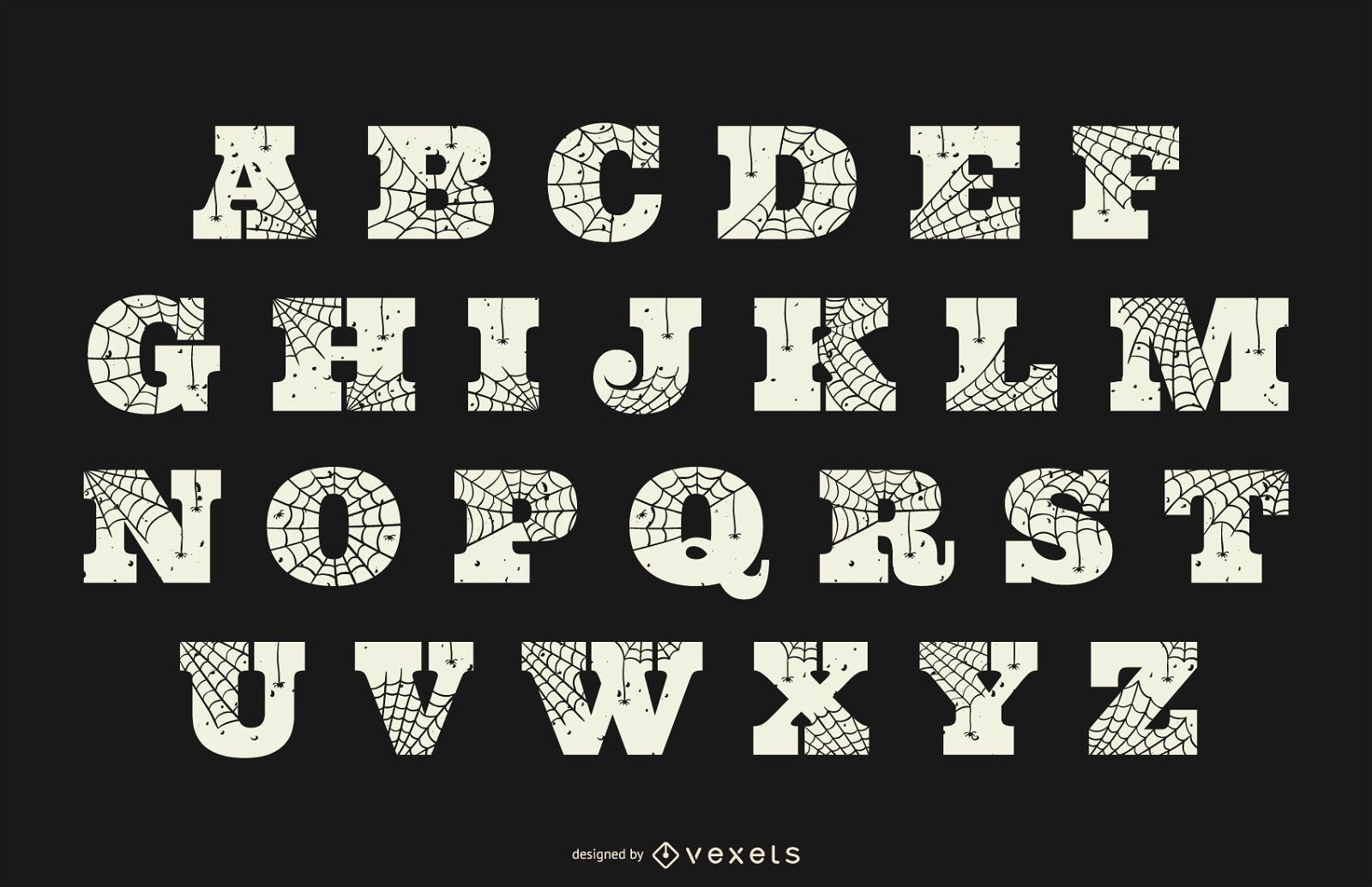
Halloween spider web alphabet
Choose a folder
All favorites
Create new
Save
Halloween spider web alphabet
Premium
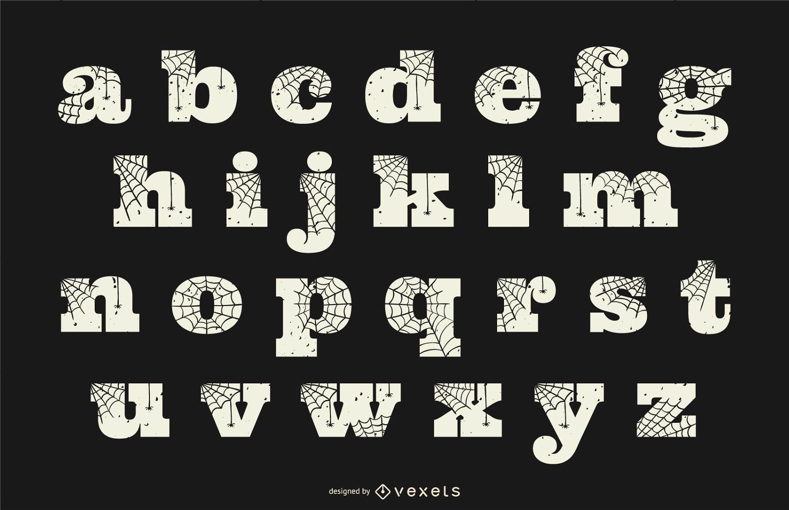
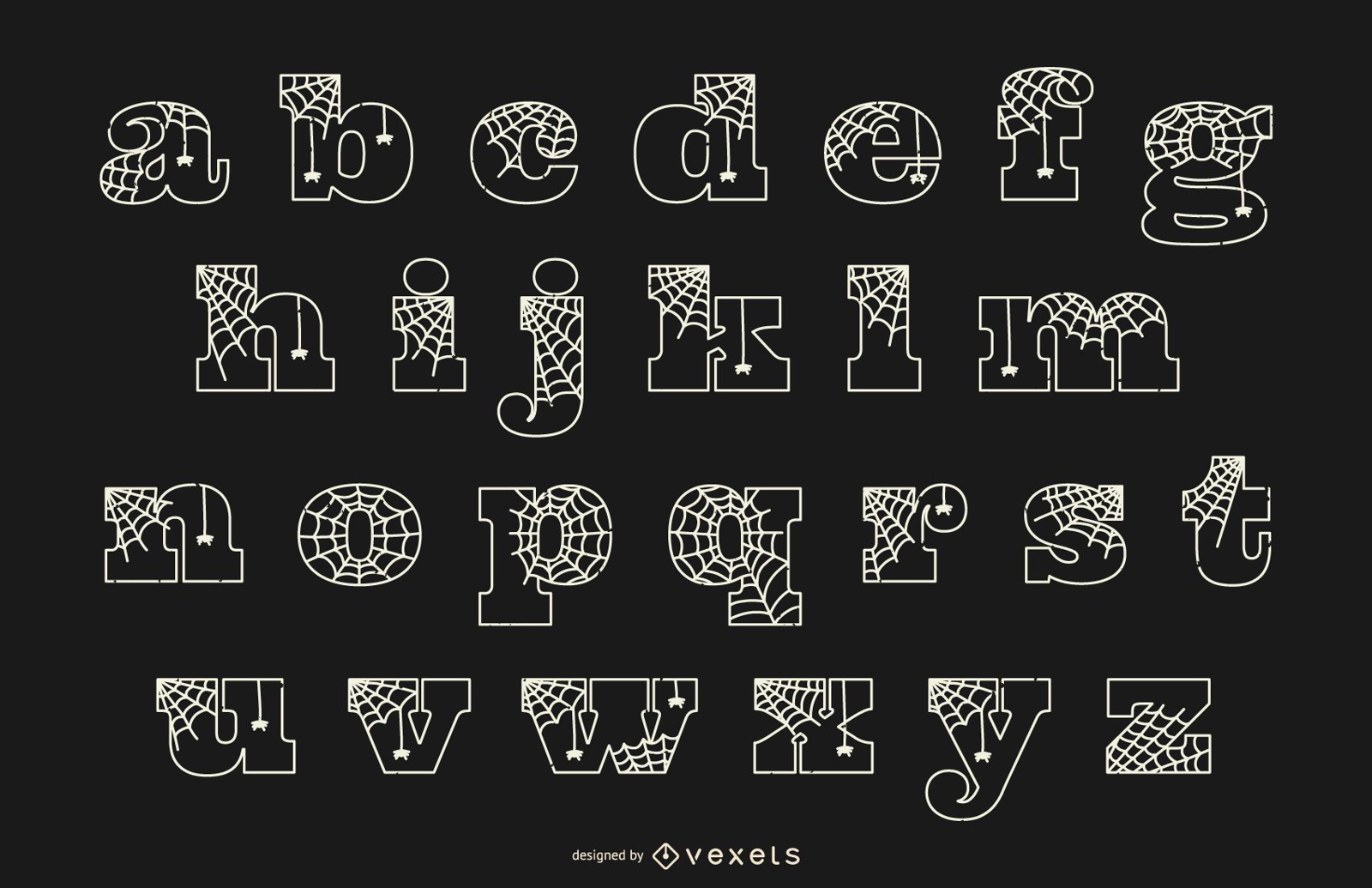
Halloween spider web lowercase alphabet
Choose a folder
All favorites
Create new
Save
Halloween spider web lowercase alphabet
Premium
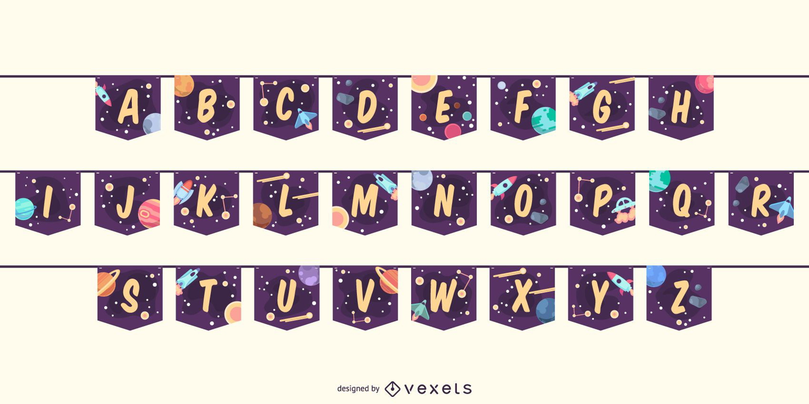
Garland Banner Space Alphabet Letter Set
Choose a folder
All favorites
Create new
Save
Garland Banner Space Alphabet Letter Set
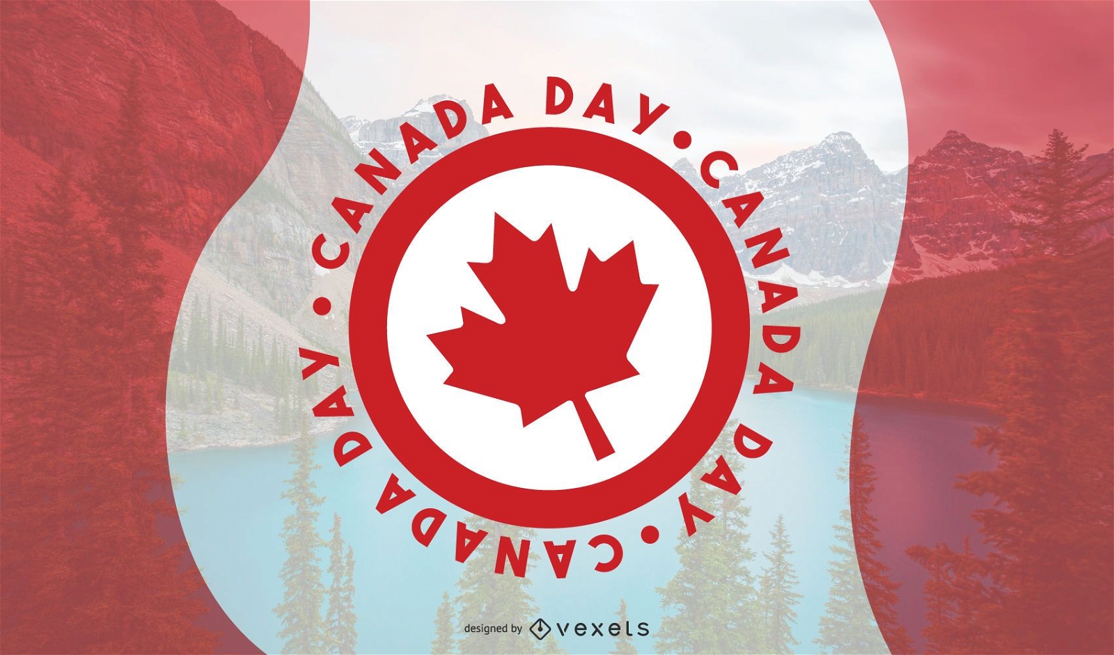
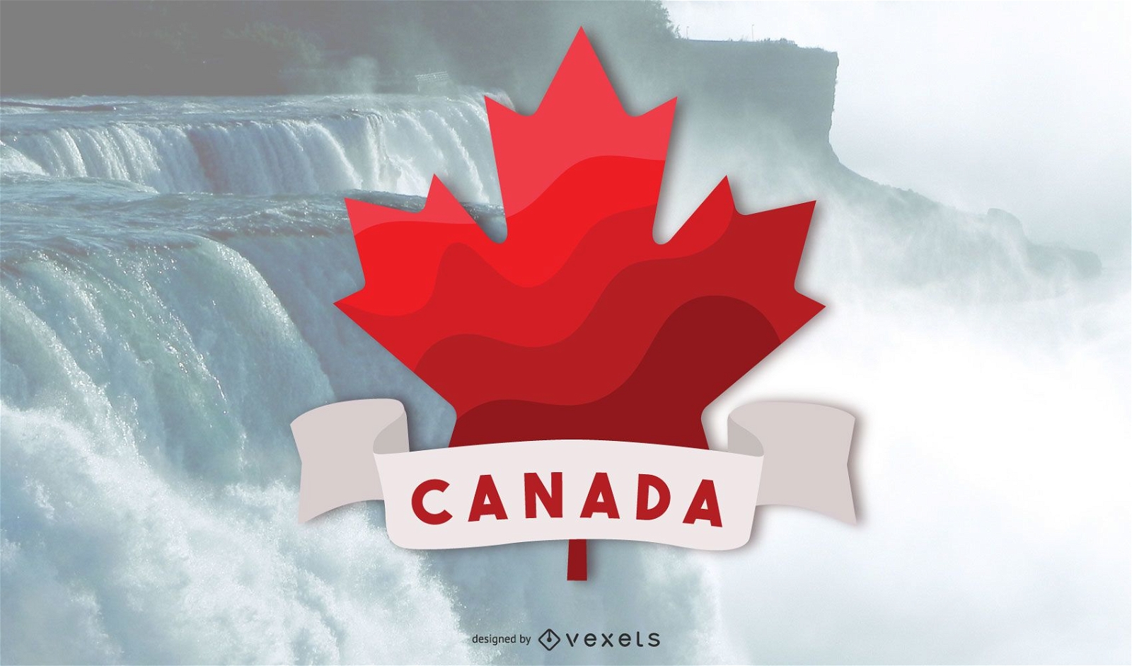
Canada Day Vector Design
Choose a folder
All favorites
Create new
Save
Canada Day Vector Design
Magic christmas reindeer design
Choose a folder
All favorites
Create new
Save
Magic christmas reindeer design
Premium
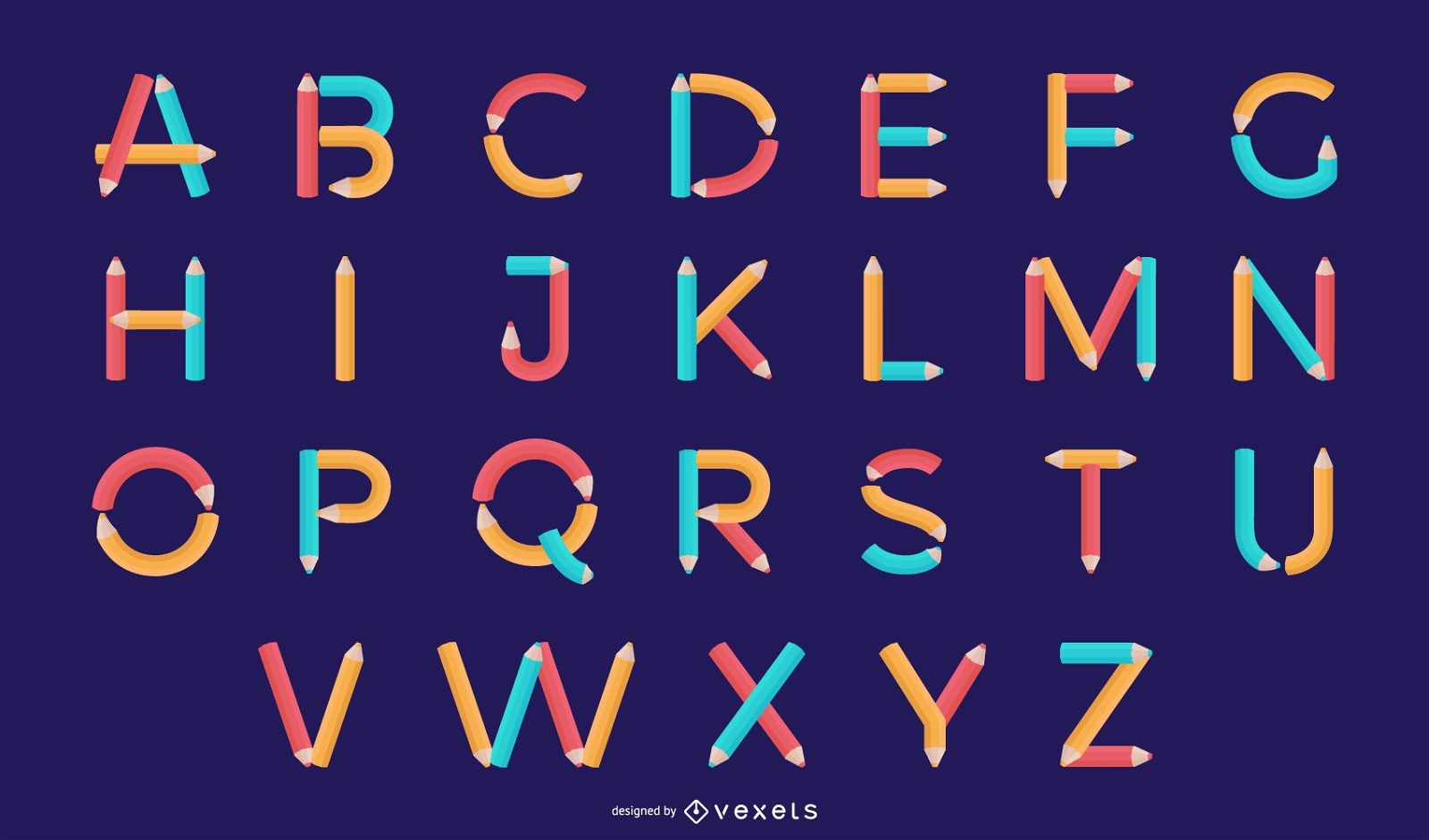
Pencil Alphabet Letter Design Set
Choose a folder
All favorites
Create new
Save
Pencil Alphabet Letter Design Set
Premium
Western Saloon Style Alphabet Letter Collection
Choose a folder
All favorites
Create new
Save
Western Saloon Style Alphabet Letter Collection
Premium
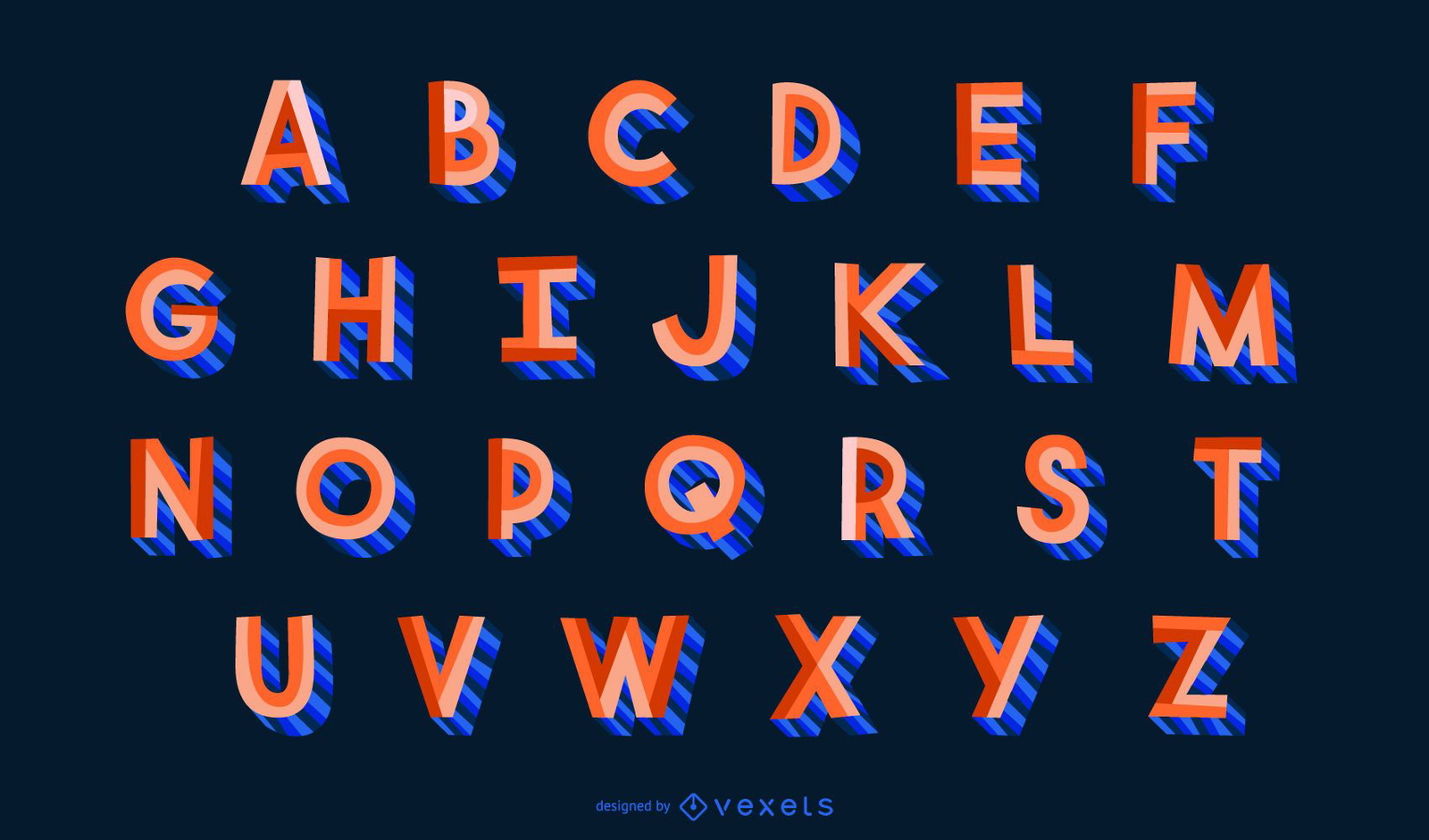
3D Flat Style Alphabet Letter Set
Choose a folder
All favorites
Create new
Save
3D Flat Style Alphabet Letter Set
4th of July Independence Day Badge
Choose a folder
All favorites
Create new
Save
4th of July Independence Day Badge
Editable text
Premium
Floral letter n logo template
Choose a folder
All favorites
Create new
Save
Floral letter n logo template
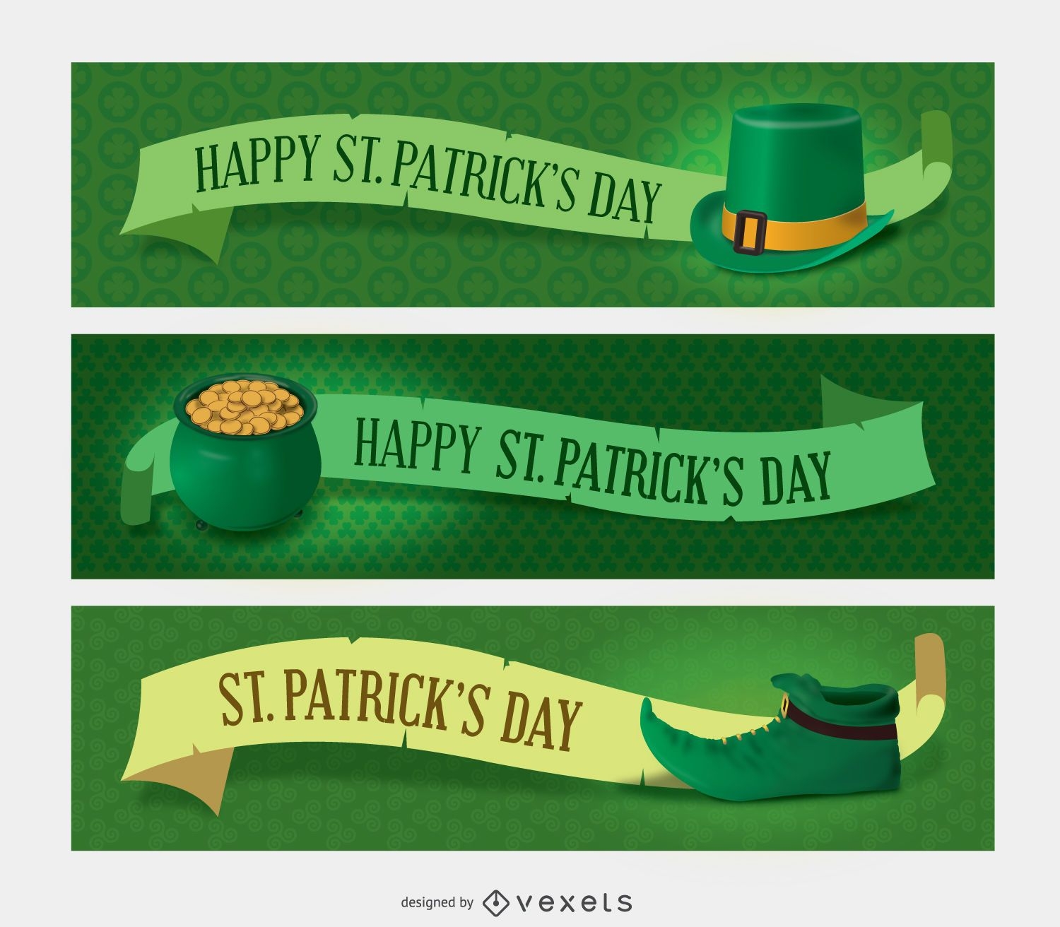
3 St Patricks Banners
Choose a folder
All favorites
Create new
Save
3 St Patricks Banners
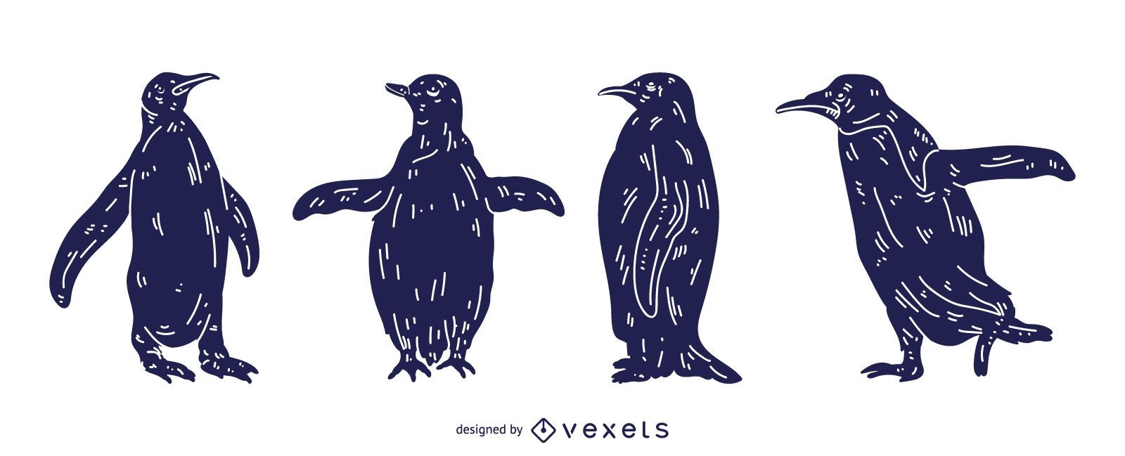
Penguin Detailed Silhouette Design
Choose a folder
All favorites
Create new
Save
Penguin Detailed Silhouette Design
Premium
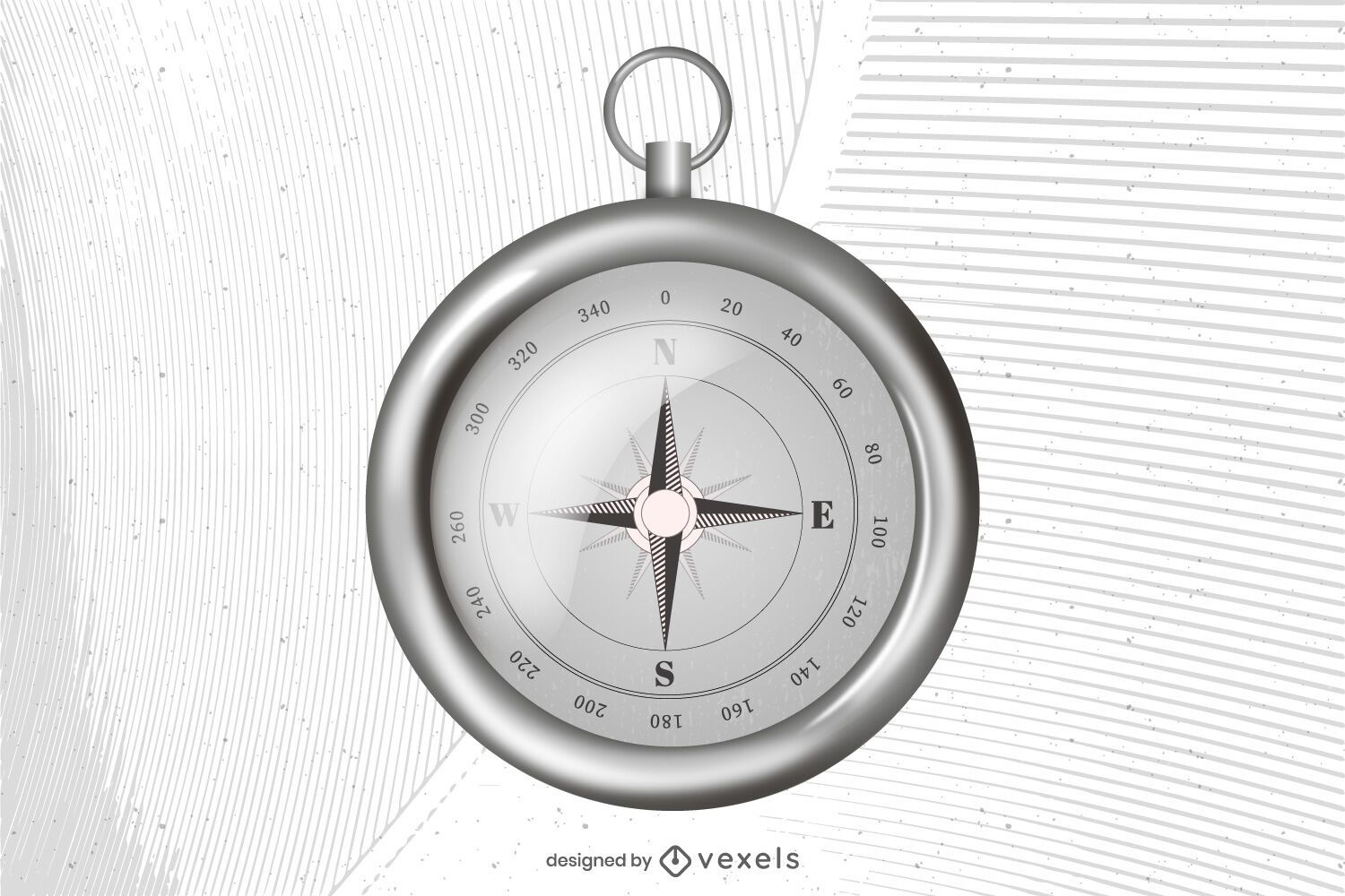
Realistic compass illustration design
Choose a folder
All favorites
Create new
Save
Realistic compass illustration design
Premium
Space Garland Letter Vector Pack M N O
Choose a folder
All favorites
Create new
Save
Space Garland Letter Vector Pack M N O
Premium
Alphabet lowercase line spiderweb
Choose a folder
All favorites
Create new
Save
Alphabet lowercase line spiderweb
Premium
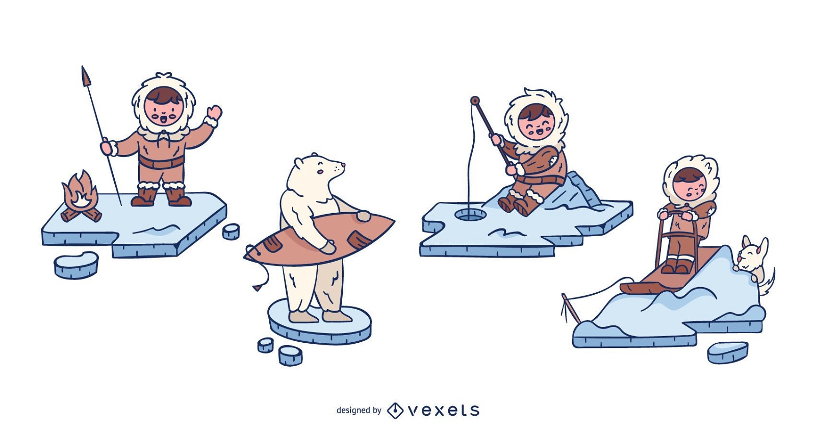
Cute Eskimo Characters Design Set
Choose a folder
All favorites
Create new
Save
Cute Eskimo Characters Design Set
Editable text
Premium
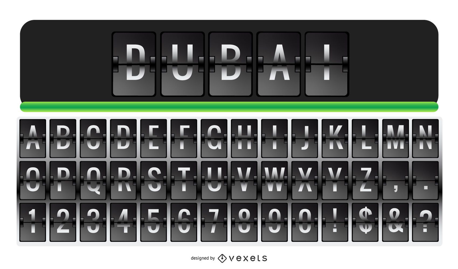
Airport Letter Alphabet Letter Number Set
Choose a folder
All favorites
Create new
Save
Airport Letter Alphabet Letter Number Set
Premium
Garland Banner Letter Alphabet Set
Choose a folder
All favorites
Create new
Save
Garland Banner Letter Alphabet Set
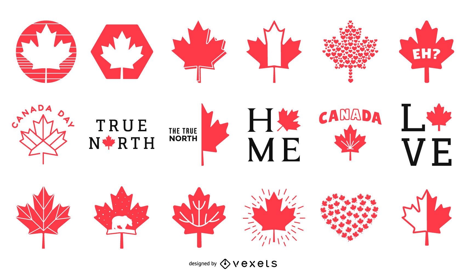
Canada Red Maple Leaf Vector
Choose a folder
All favorites
Create new
Save
Canada Red Maple Leaf Vector
Premium
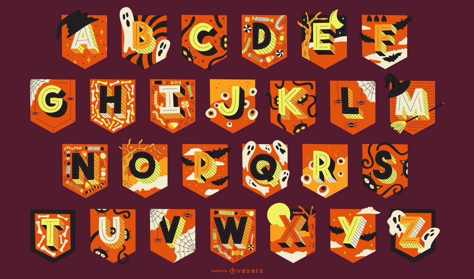
Halloween Alphabet Garland Letters Pack
Choose a folder
All favorites
Create new
Save
Halloween Alphabet Garland Letters Pack
Premium
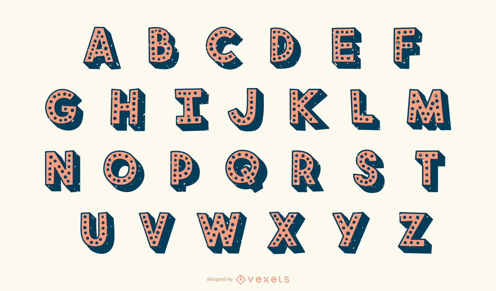
3D Dotted Alphabet Letter Vector Set
Choose a folder
All favorites
Create new
Save
3D Dotted Alphabet Letter Vector Set
Premium
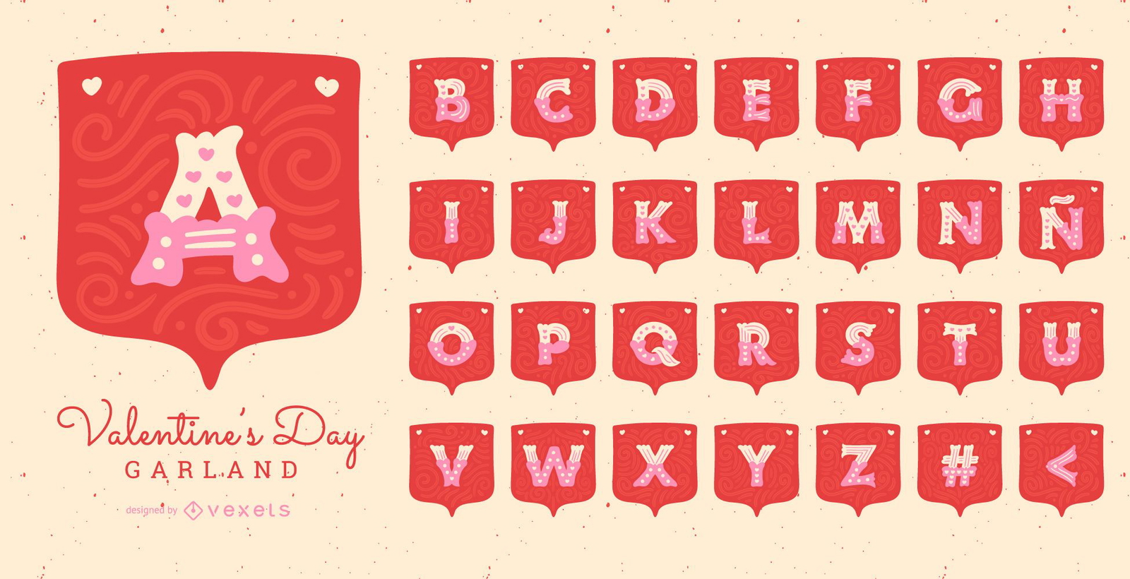
Valentine's Day Garland Alphabet Letter Set
Choose a folder
All favorites
Create new
Save
Valentine's Day Garland Alphabet Letter Set
Premium
Maple leaf canada set
Choose a folder
All favorites
Create new
Save
Maple leaf canada set
Elegant Red Pink Abstract Background Vector illustration
Choose a folder
All favorites
Create new
Save
Elegant Red Pink Abstract Background Vector illustration
Premium
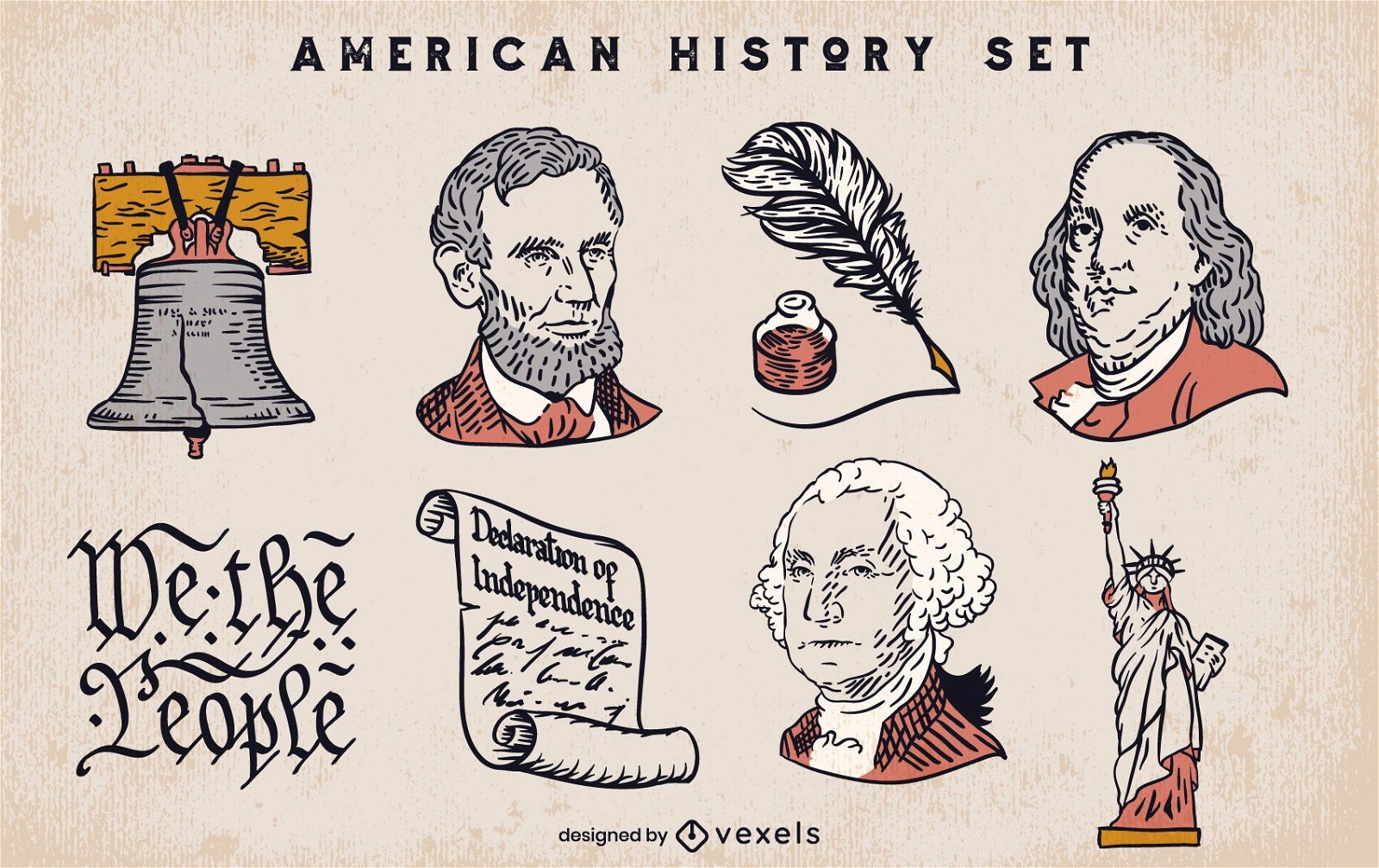
Set of american history elements
Choose a folder
All favorites
Create new
Save
Set of american history elements
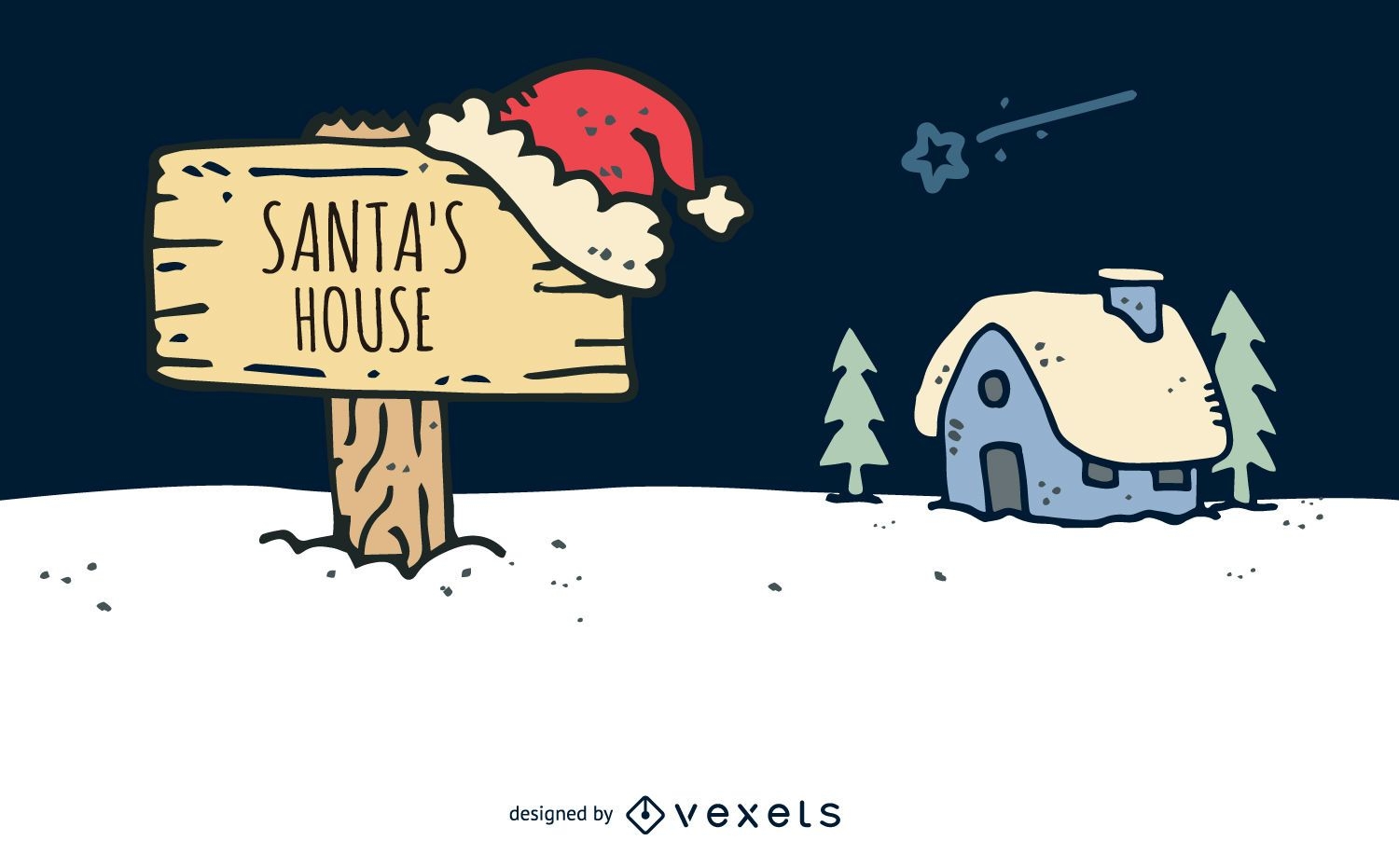
Hand drawn Santa house
Choose a folder
All favorites
Create new
Save
Hand drawn Santa house
Full Branding Kit
Premium
Mountain landscape picture logo template
Choose a folder
All favorites
Create new
Save
Mountain landscape picture logo template
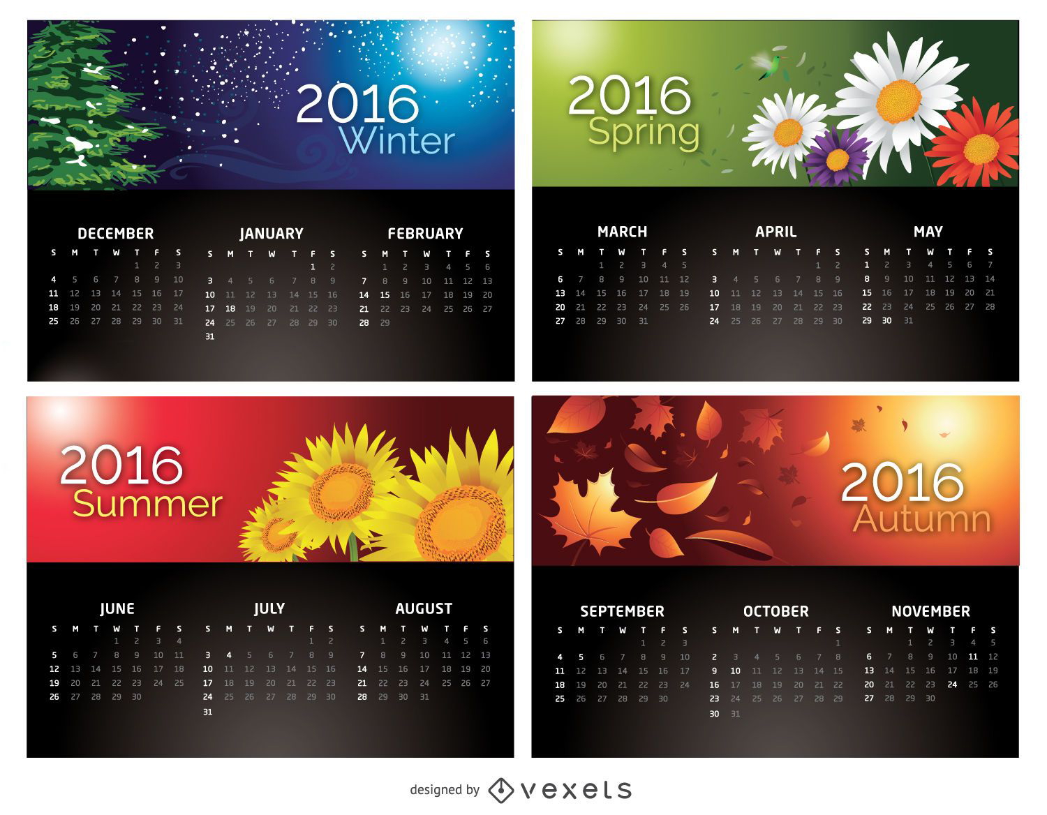
Calendar 2016 - 4 Seasons
Choose a folder
All favorites
Create new
Save
Calendar 2016 - 4 Seasons
Flat travel compass icon
Choose a folder
All favorites
Create new
Save
Flat travel compass icon
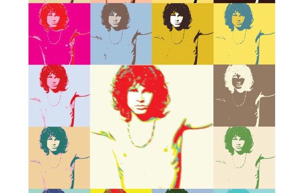
Pop Art Jim Morrison The Doors Poster
Choose a folder
All favorites
Create new
Save
Pop Art Jim Morrison The Doors Poster
Boost Your Business
With The Leading Graphic Platform For Merch.
SEE PLANS
of 3
prev page
next page