Design Library
Explore Designs
New Merch Designs
Trending Merch Designs
Vectors
PNGs & SVGs
Mockups
T-Shirts
T-Shirt PSD Templates
KDP Designs
Phone Cases
Pillows
Tote Bags
Posters
Mugs
Design Tools
Designer
New!
T-shirt Maker
Mockup Generator
Quote Generator
Logo Maker
Resources
Merch Digest
Blog
Help Center
Creators Program
Learn About Merch
Changelog
Pricing
Loading...
Sign Up
Login
Merch Vectors
us
states
Design Library
Explore Designs
New Merch Designs
Trending Merch Designs
Vectors
PNGs & SVGs
Mockups
T-Shirts
T-Shirt PSD Templates
KDP Designs
Phone Cases
Pillows
Tote Bags
Posters
Mugs
Design Tools
Designer
New!
T-shirt Maker
Mockup Generator
Quote Generator
Logo Maker
Resources
Merch Digest
Blog
Help Center
Creators Program
Learn About Merch
Changelog
PLANS
Merch Vectors
us
states
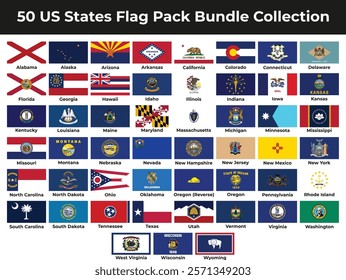
392 us states Vector Designs for T-Shirts and merch
Download & buy editable us states AI Vector Graphics Designs for T shirts, Phone Cases, Book Covers and other Merch
Sort by
Most relevant
Sponsored results by
Get 15% off with code: VEXELS15
Show more
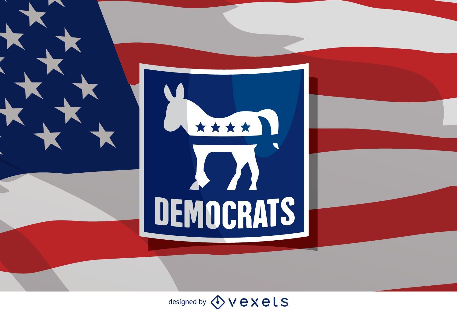
US election Democrat donkey
Choose a folder
All favorites
Create new
Save
US election Democrat donkey
Editable text
Print ready
Premium
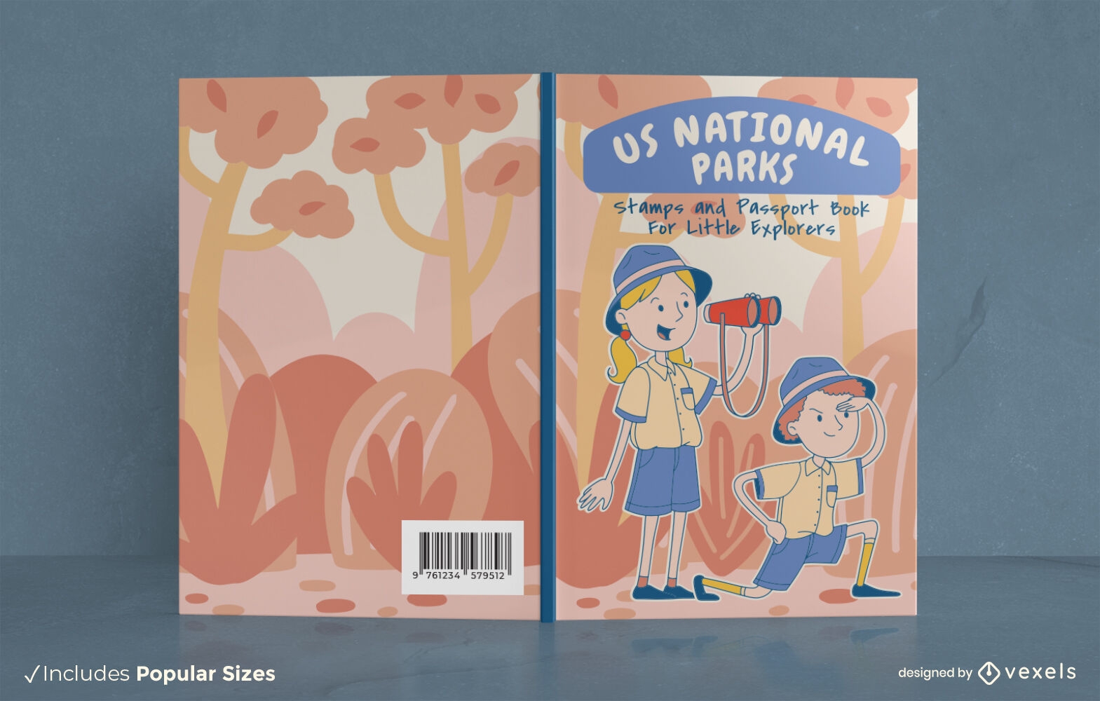
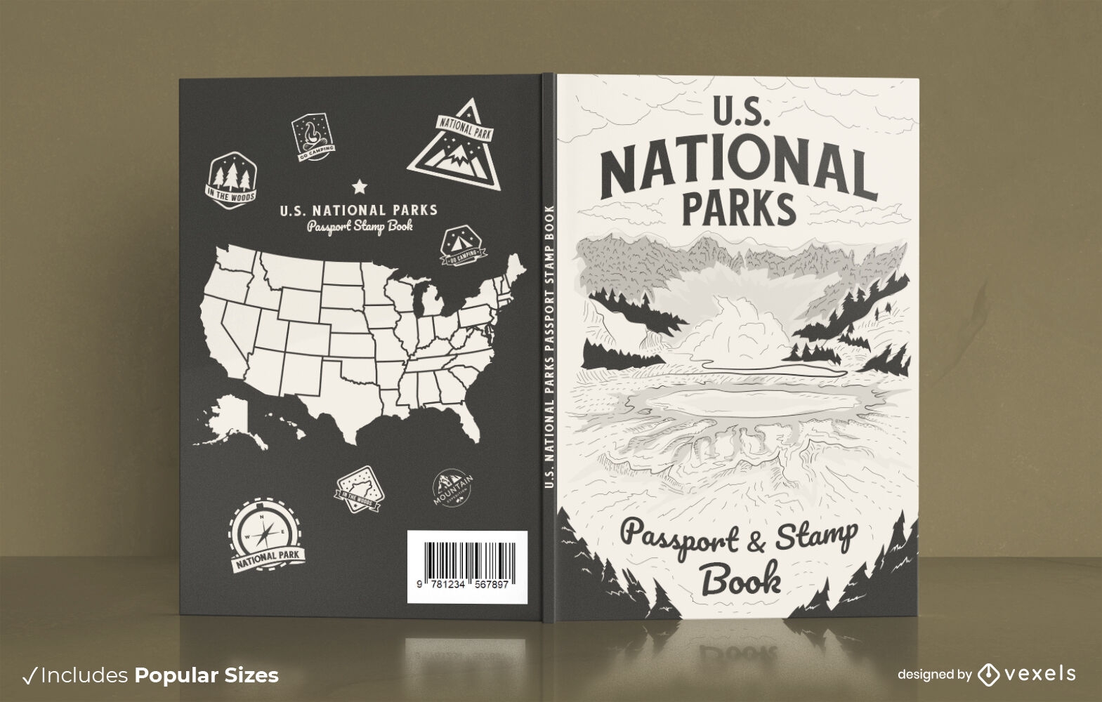
US National Parks explorers book cover design
Choose a folder
All favorites
Create new
Save
US National Parks explorers book cover design
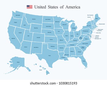
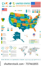
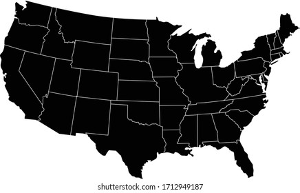
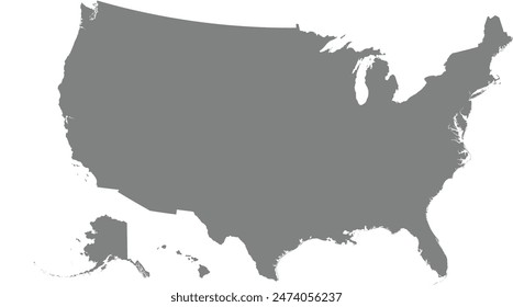
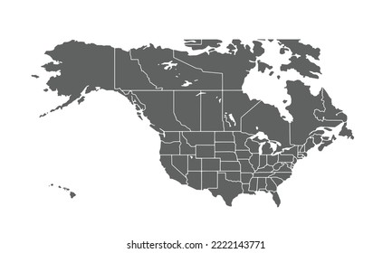
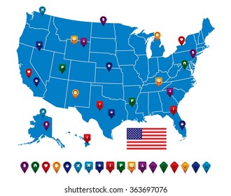
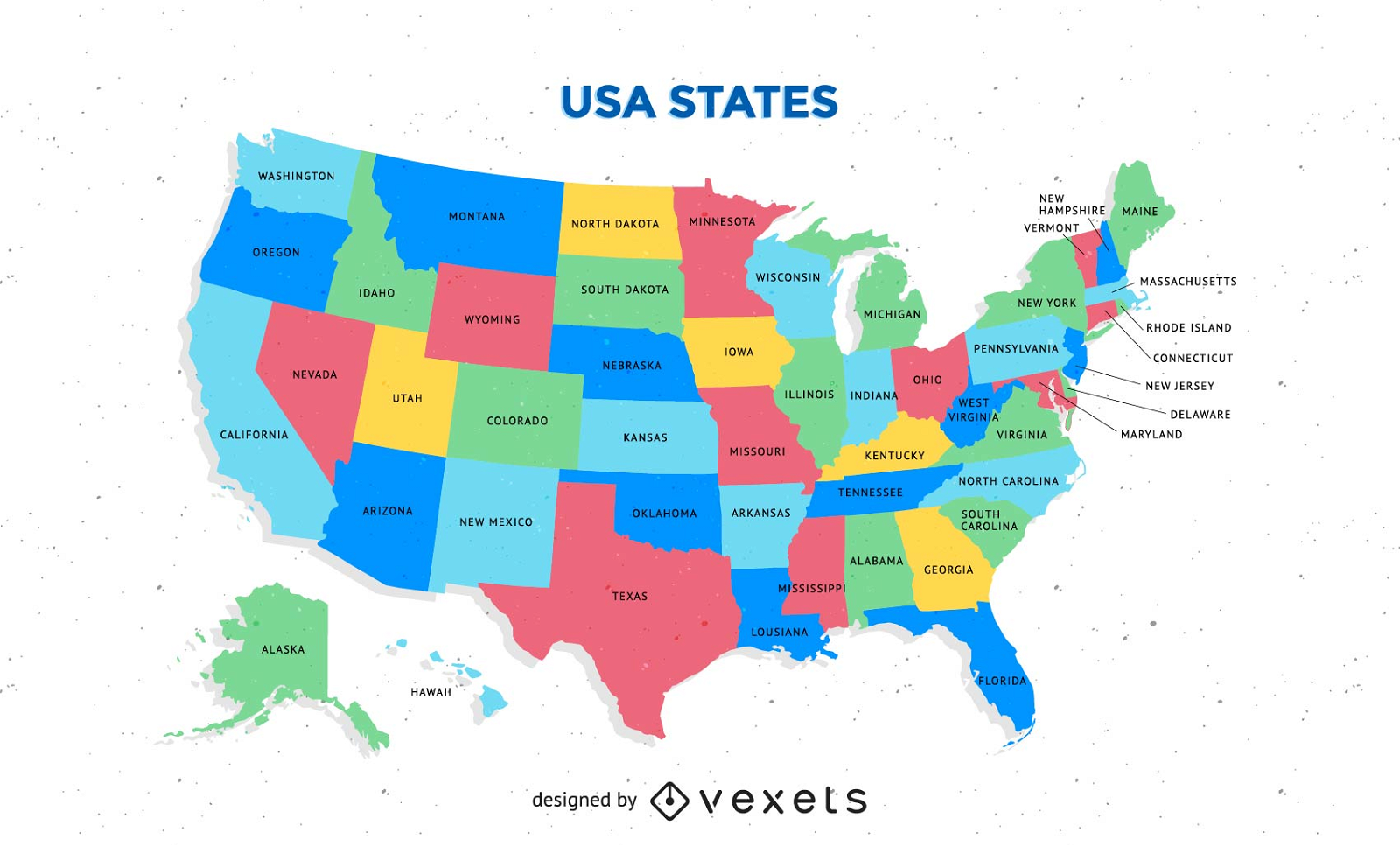
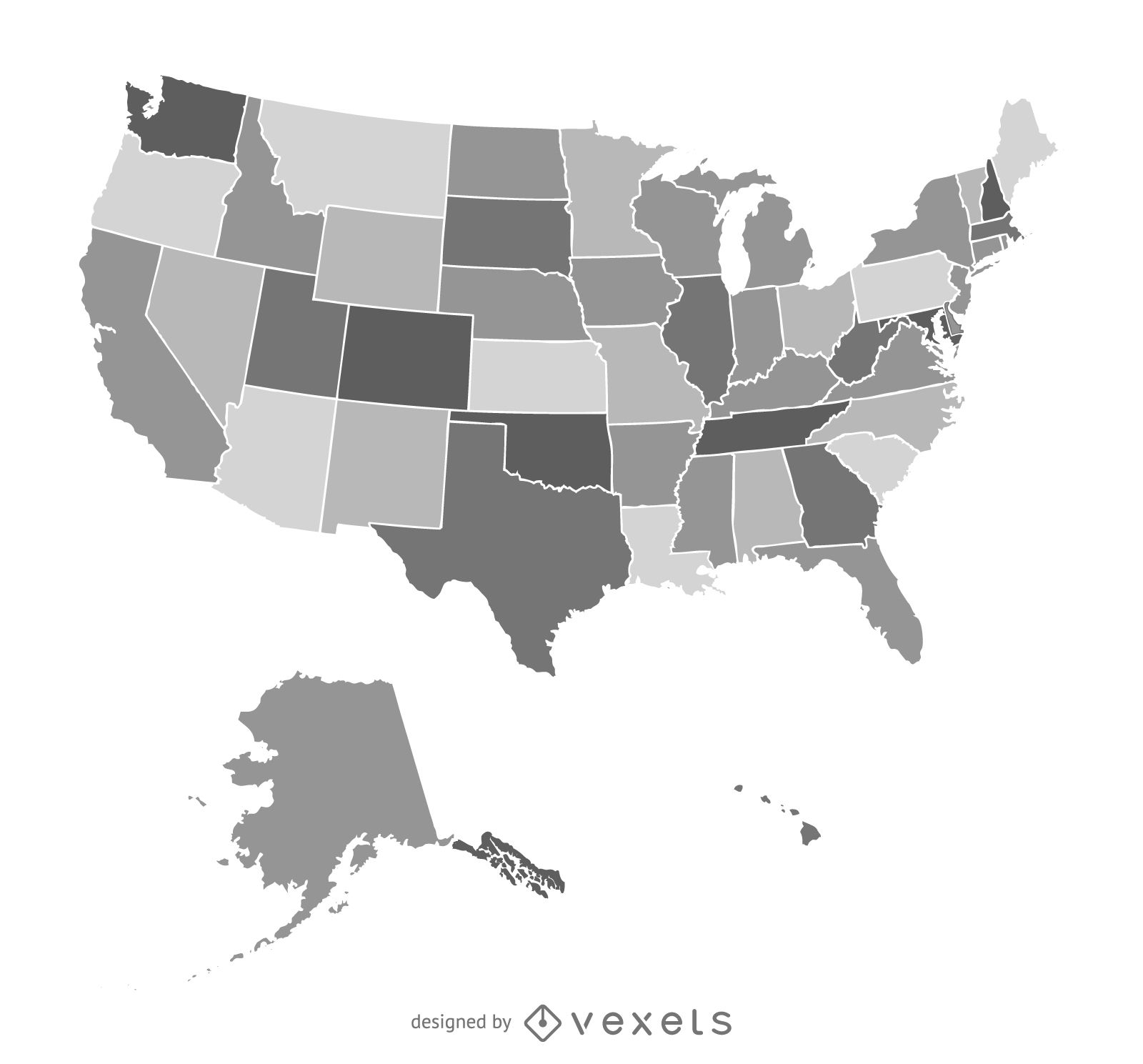
Free Colorful Usa Map With States Vector
Choose a folder
All favorites
Create new
Save
Free Colorful Usa Map With States Vector
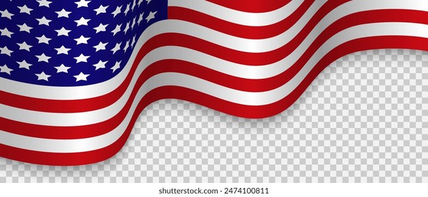
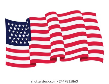
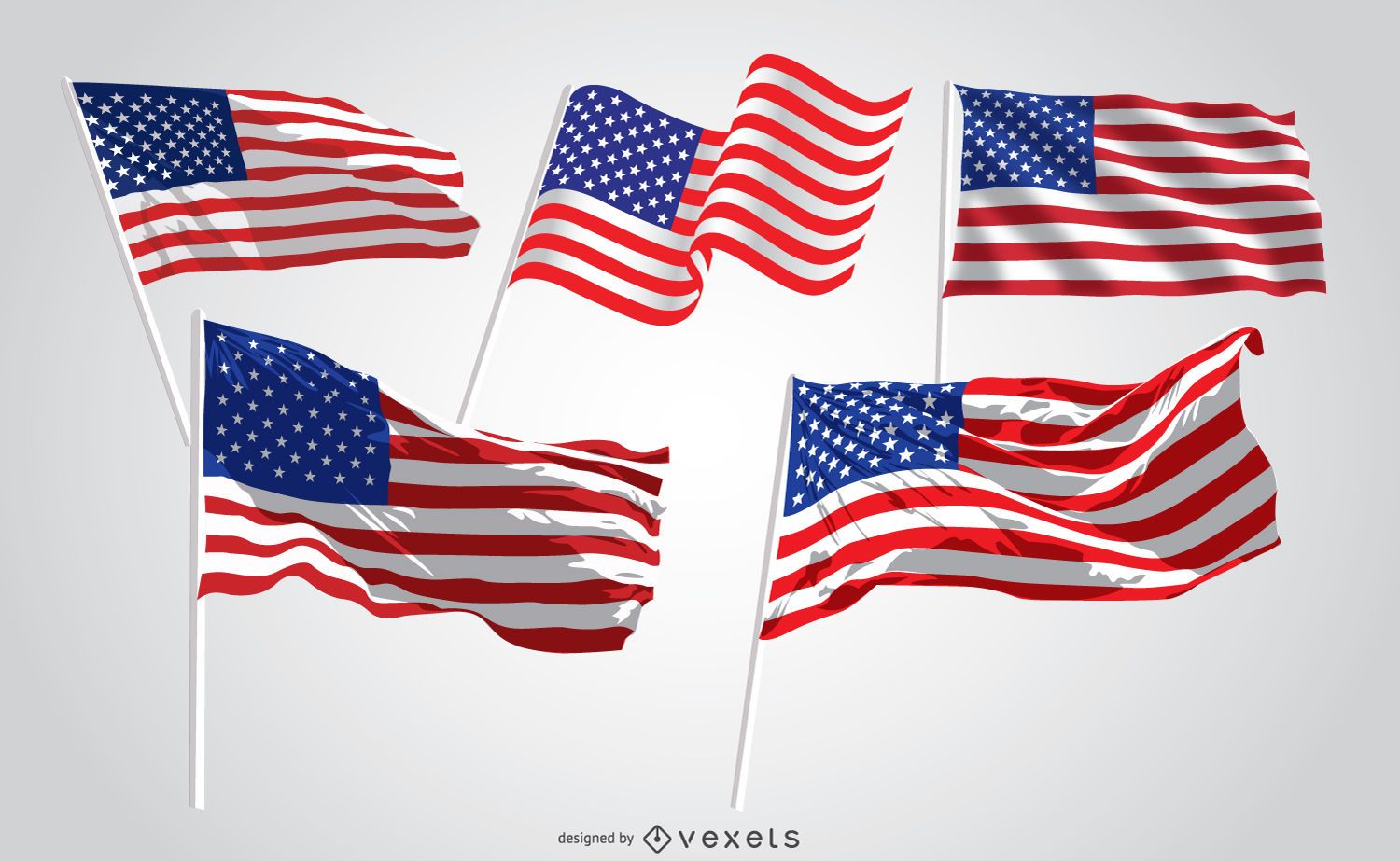
5 United States waving flags
Choose a folder
All favorites
Create new
Save
5 United States waving flags
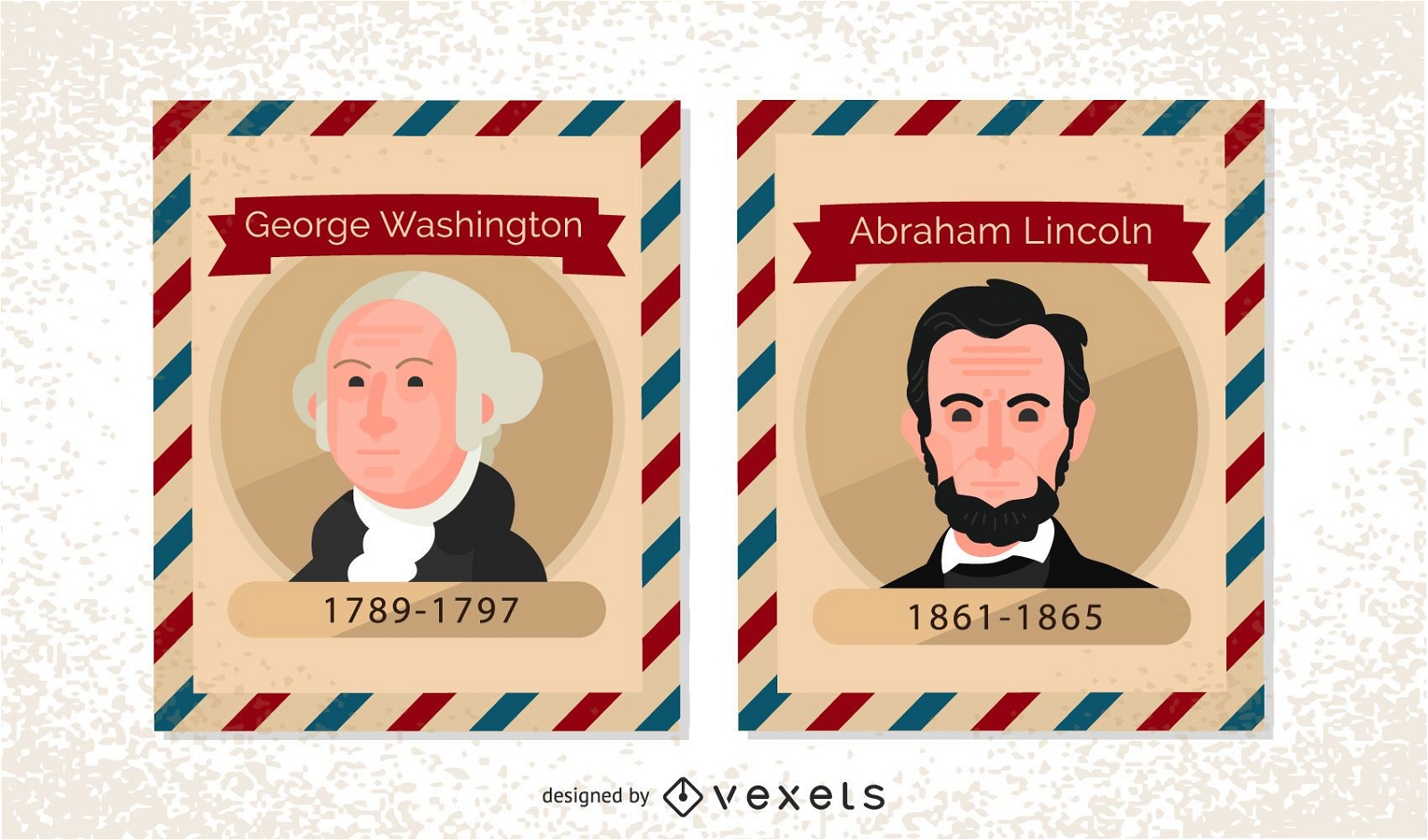
Vintage US President Postage Stamps
Choose a folder
All favorites
Create new
Save
Vintage US President Postage Stamps
2016 US election sign
Choose a folder
All favorites
Create new
Save
2016 US election sign
Premium
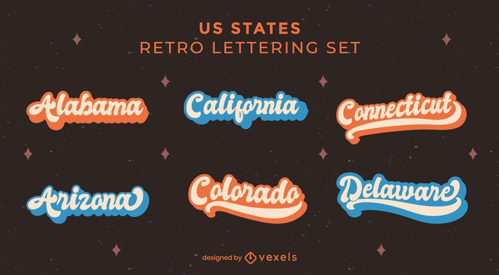
American states retro lettering set
Choose a folder
All favorites
Create new
Save
American states retro lettering set
Premium
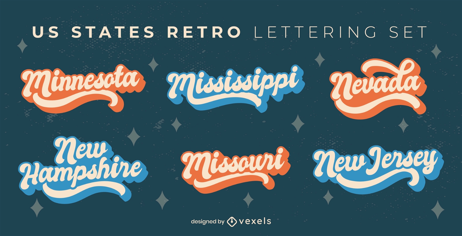
Usa state names retro lettering set
Choose a folder
All favorites
Create new
Save
Usa state names retro lettering set
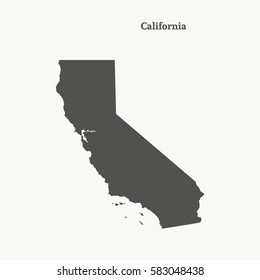
America Map Vector Design
Choose a folder
All favorites
Create new
Save
America Map Vector Design
Premium
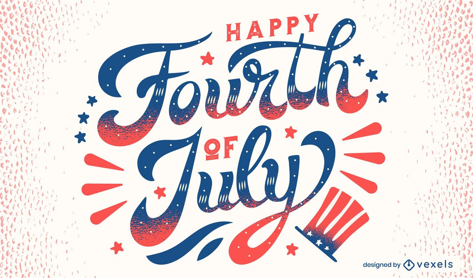
Happy fourth of july lettering
Choose a folder
All favorites
Create new
Save
Happy fourth of july lettering
Editable text
Premium
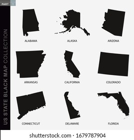
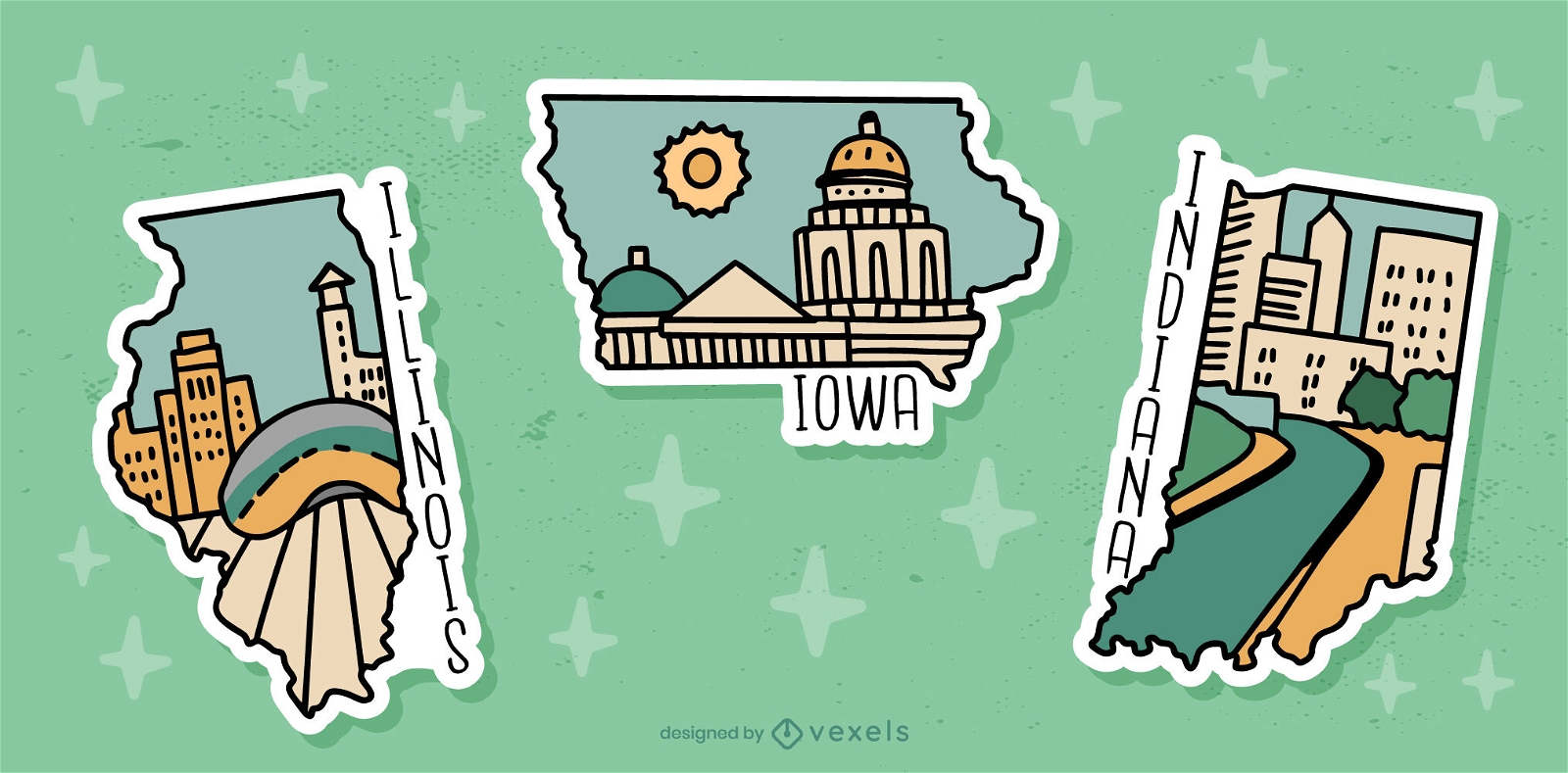
US state sticker set
Choose a folder
All favorites
Create new
Save
US state sticker set
10 Famous USA cities Skylines
Choose a folder
All favorites
Create new
Save
10 Famous USA cities Skylines
Premium
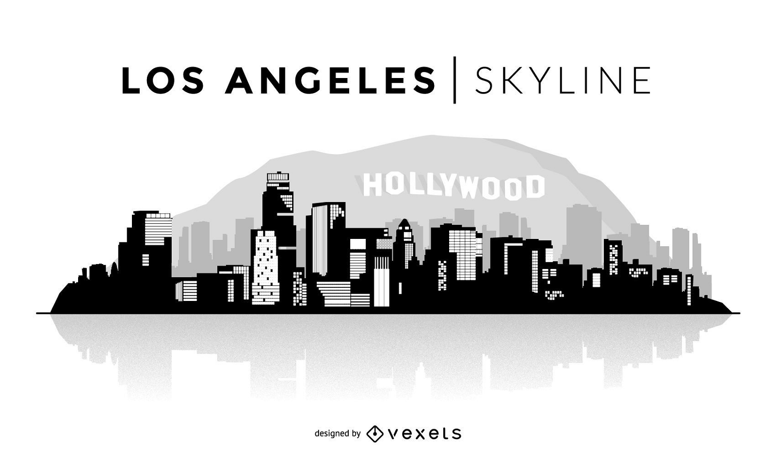
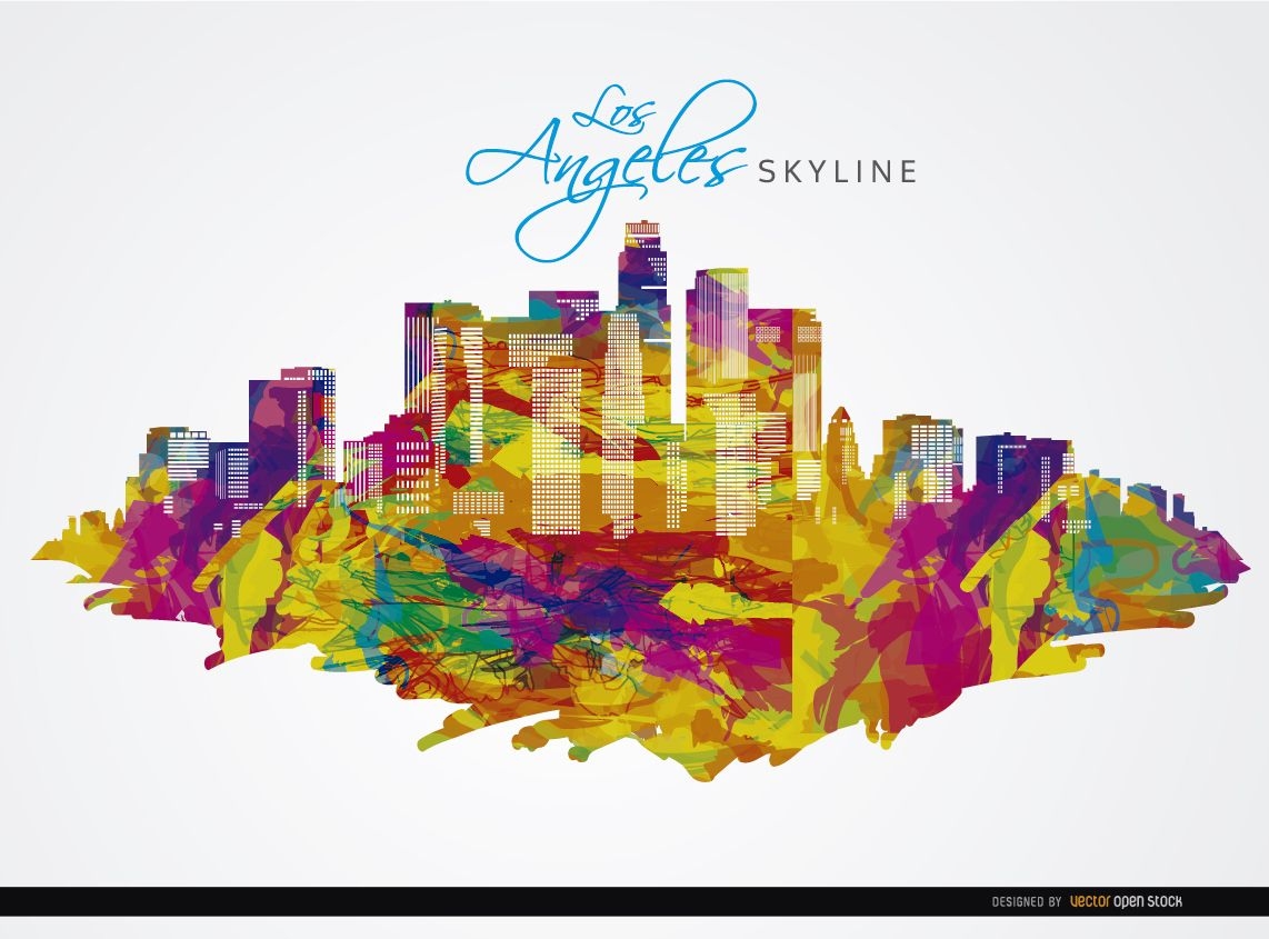
Los Angeles Skyline Illustration
Choose a folder
All favorites
Create new
Save
Los Angeles Skyline Illustration
Premium
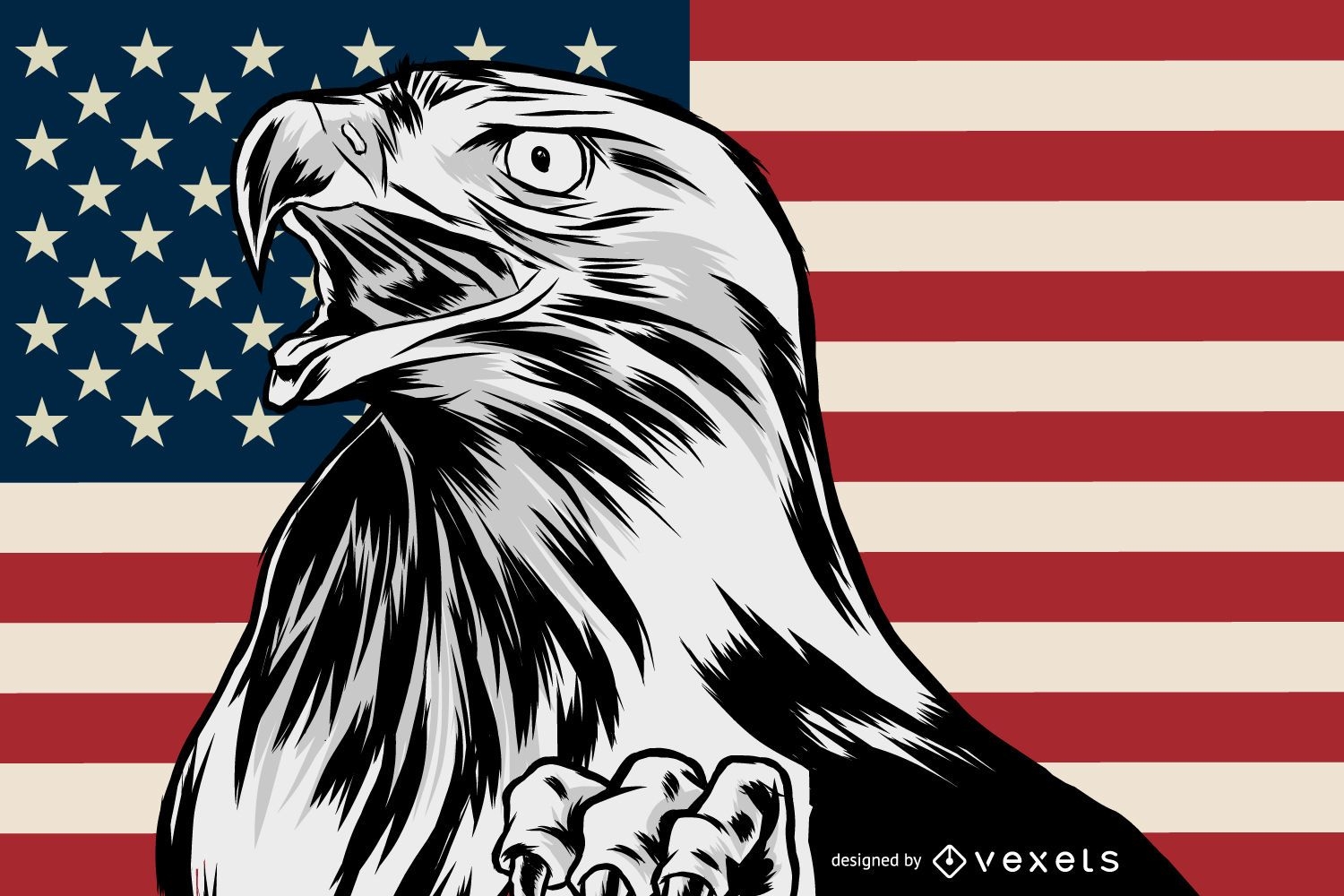
Patriotic american eagle illustration
Choose a folder
All favorites
Create new
Save
Patriotic american eagle illustration
Premium
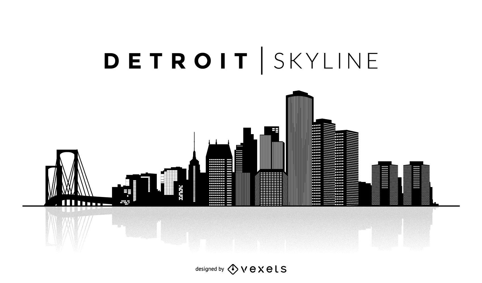
Simple Detroit skyline
Choose a folder
All favorites
Create new
Save
Simple Detroit skyline
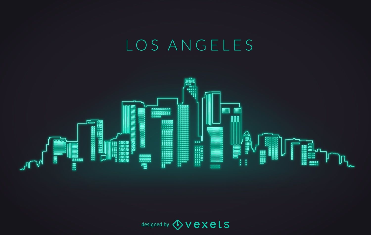
Los Angeles neon skyline
Choose a folder
All favorites
Create new
Save
Los Angeles neon skyline
Kindle Direct
Editable text
Premium
American national parks book cover design
Choose a folder
All favorites
Create new
Save
American national parks book cover design
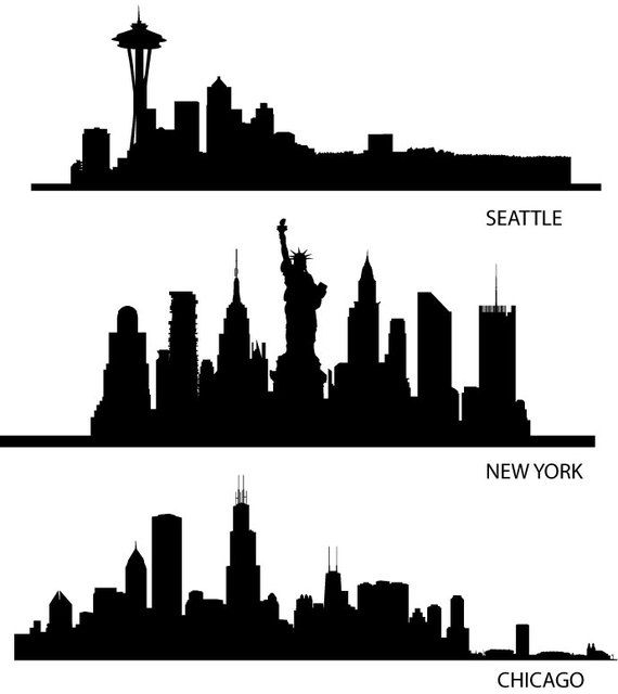
Skyline USA Silhouettes
Choose a folder
All favorites
Create new
Save
Skyline USA Silhouettes
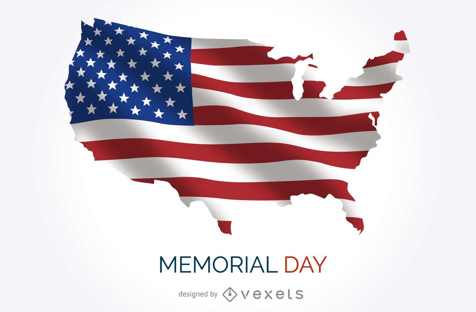
USA Memorial Day poster
Choose a folder
All favorites
Create new
Save
USA Memorial Day poster
Premium
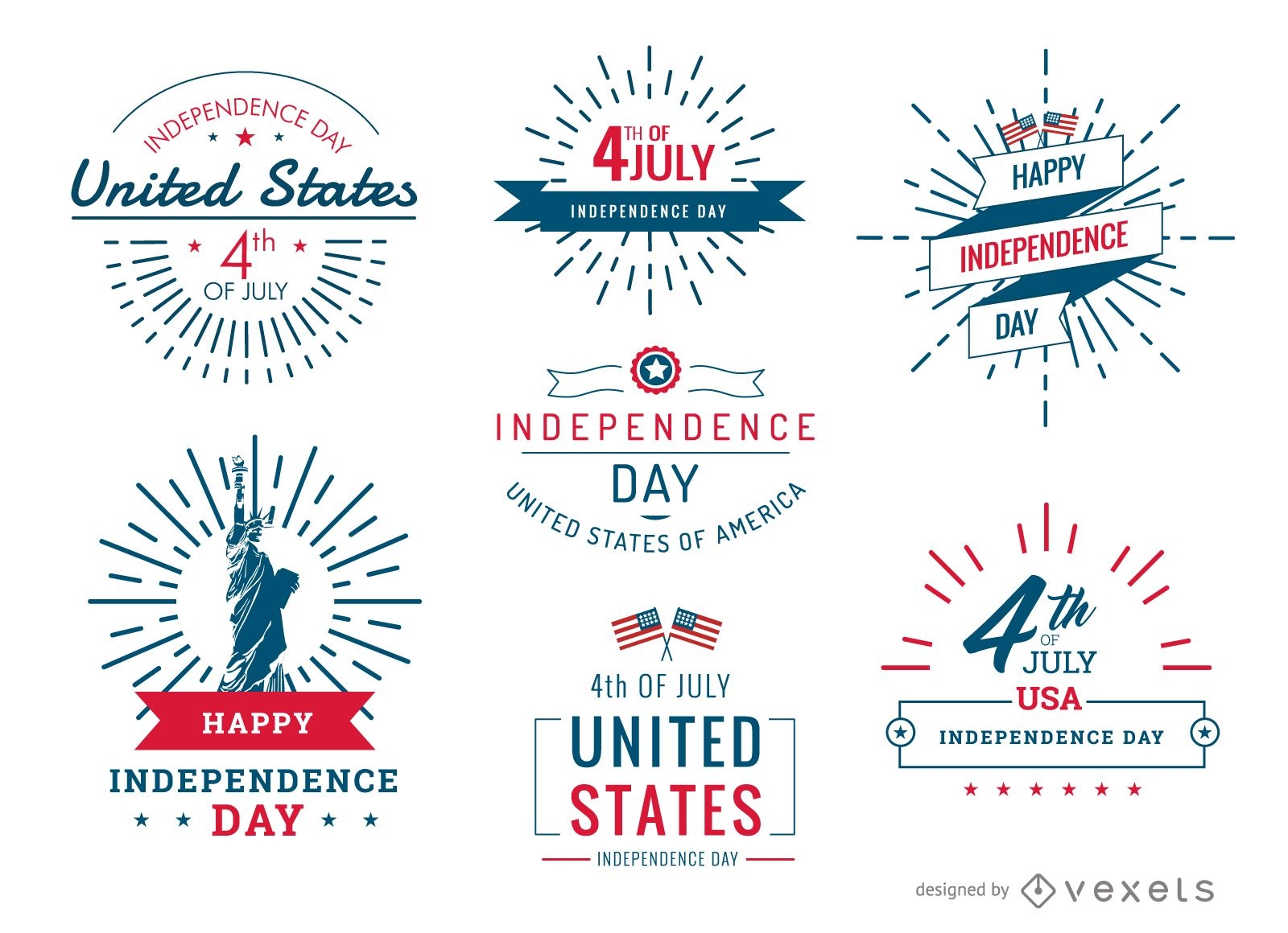
4th of July United Stated badges and labels set
Choose a folder
All favorites
Create new
Save
4th of July United Stated badges and labels set
Premium
Land of liberty 4th of july lettering
Choose a folder
All favorites
Create new
Save
Land of liberty 4th of july lettering
Trump and Obama silhouette
Choose a folder
All favorites
Create new
Save
Trump and Obama silhouette
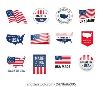
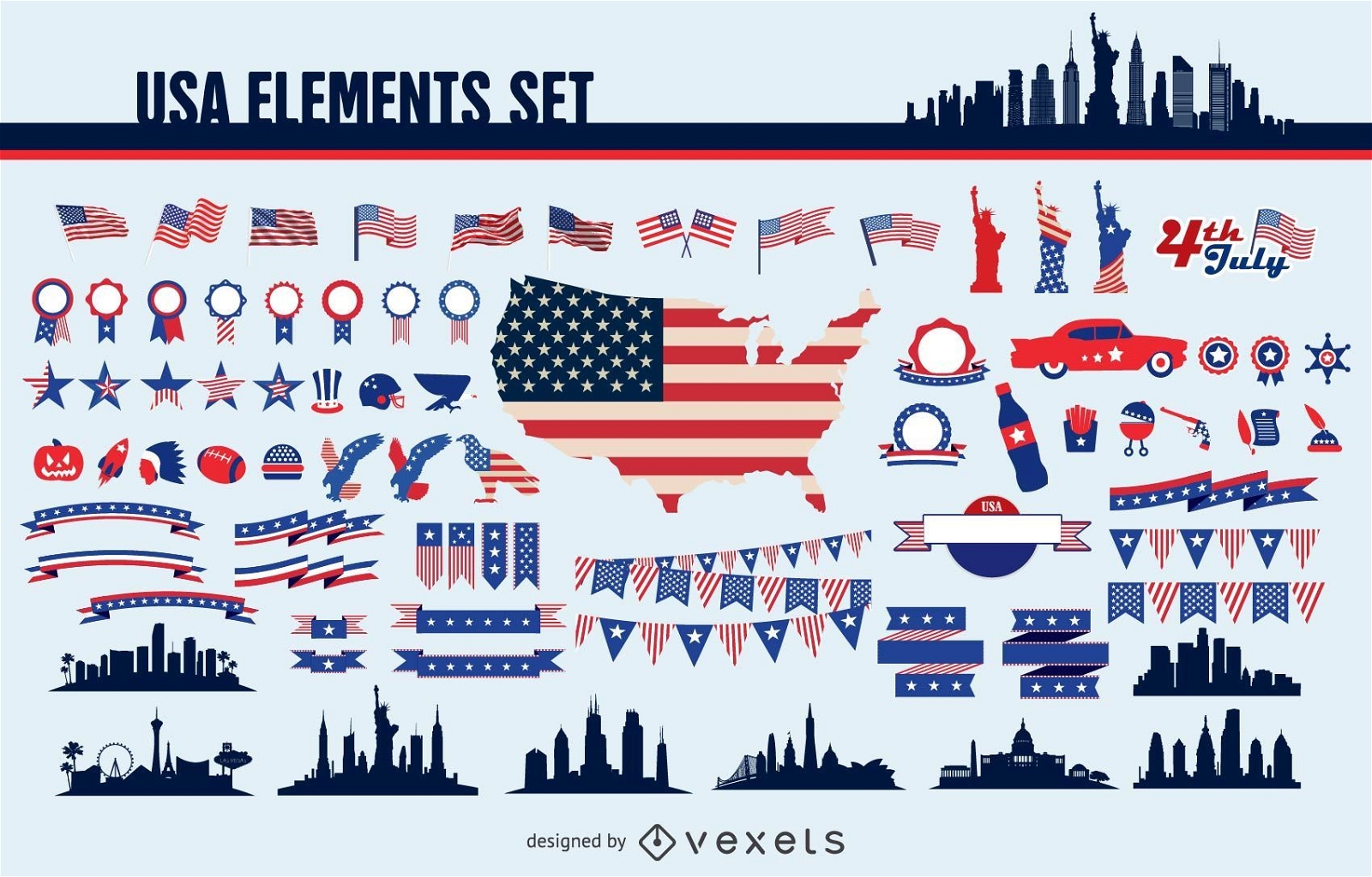
Usa elements set
Choose a folder
All favorites
Create new
Save
Usa elements set
Premium
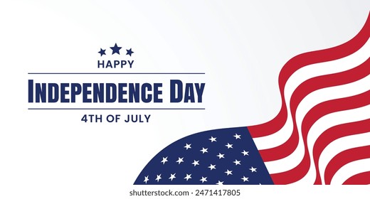
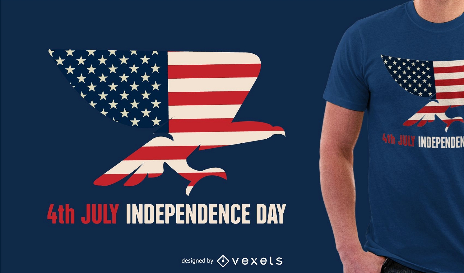
Independence Day design tshirt
Choose a folder
All favorites
Create new
Save
Independence Day design tshirt
Premium
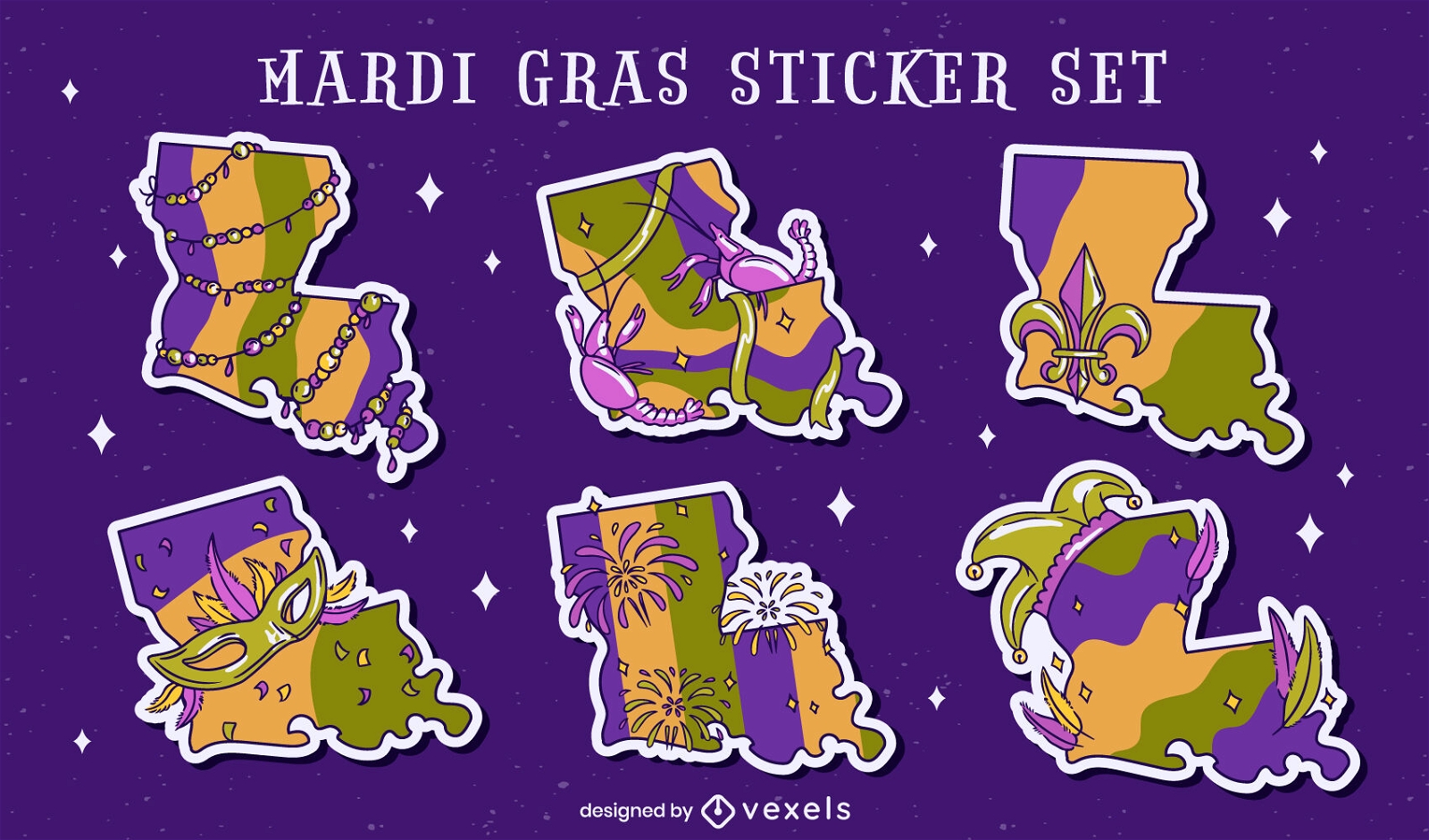
Louisiana state Mardi Gras set
Choose a folder
All favorites
Create new
Save
Louisiana state Mardi Gras set
Tileable pattern
Premium
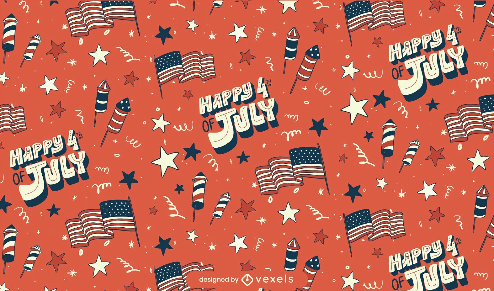
Fourth of july seamless pattern
Choose a folder
All favorites
Create new
Save
Fourth of july seamless pattern
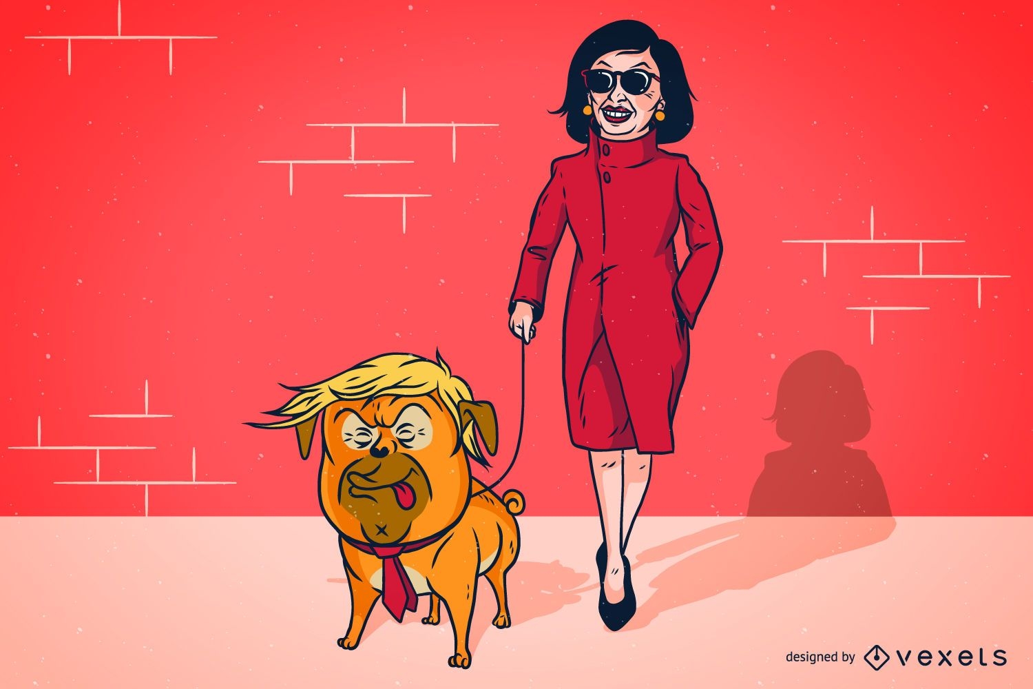
Trump Pelosi Parody Illustration Design
Choose a folder
All favorites
Create new
Save
Trump Pelosi Parody Illustration Design
Tileable pattern
Premium
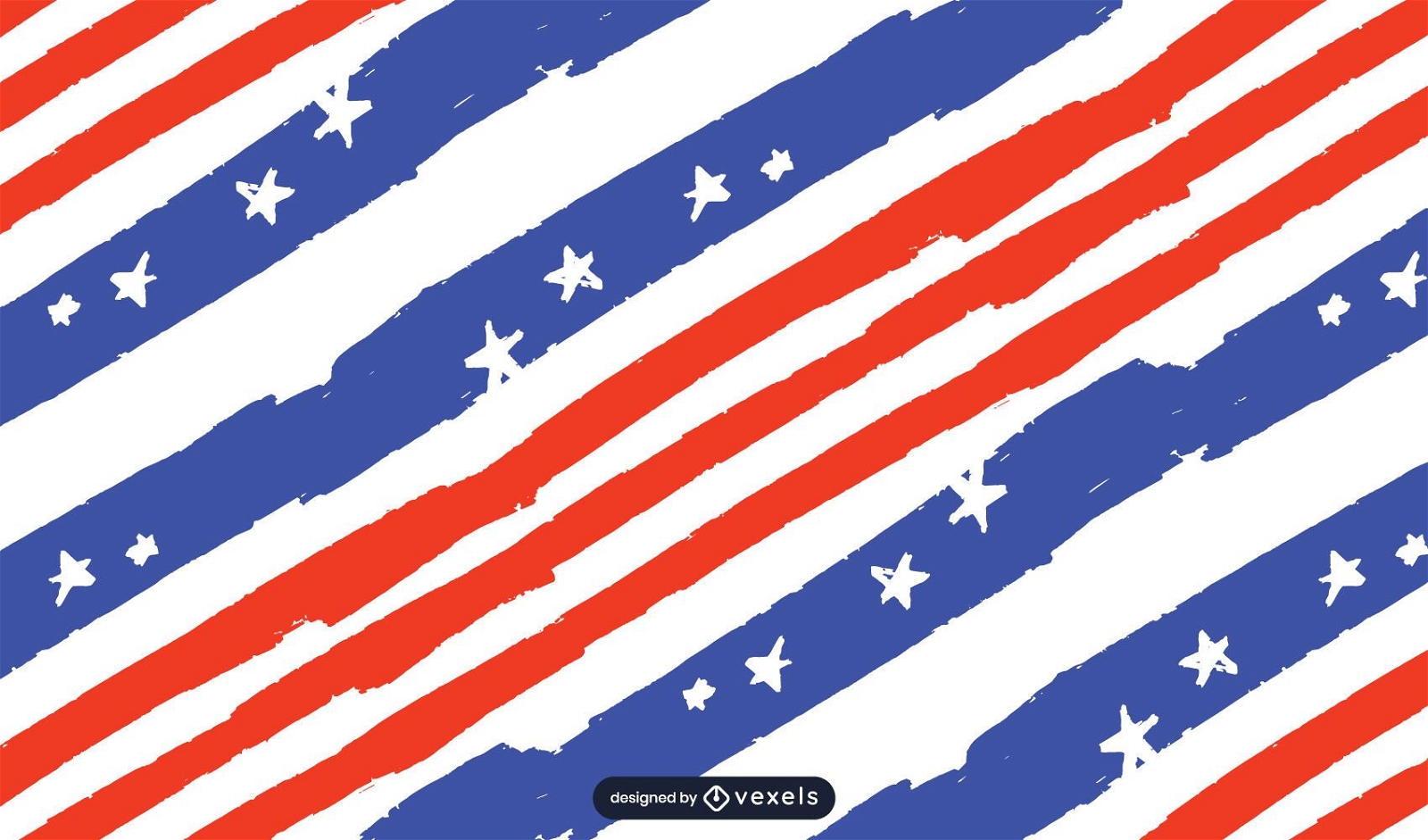
Usa flag pattern design
Choose a folder
All favorites
Create new
Save
Usa flag pattern design
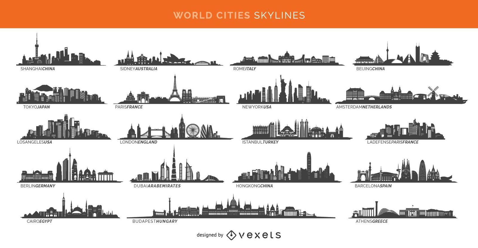
19 famous cities skylines including Paris London Sidney and more
Choose a folder
All favorites
Create new
Save
19 famous cities skylines including Paris London Sidney and more
Los Angeles city buildings colorful
Choose a folder
All favorites
Create new
Save
Los Angeles city buildings colorful
Premium
Independence Day header
Choose a folder
All favorites
Create new
Save
Independence Day header
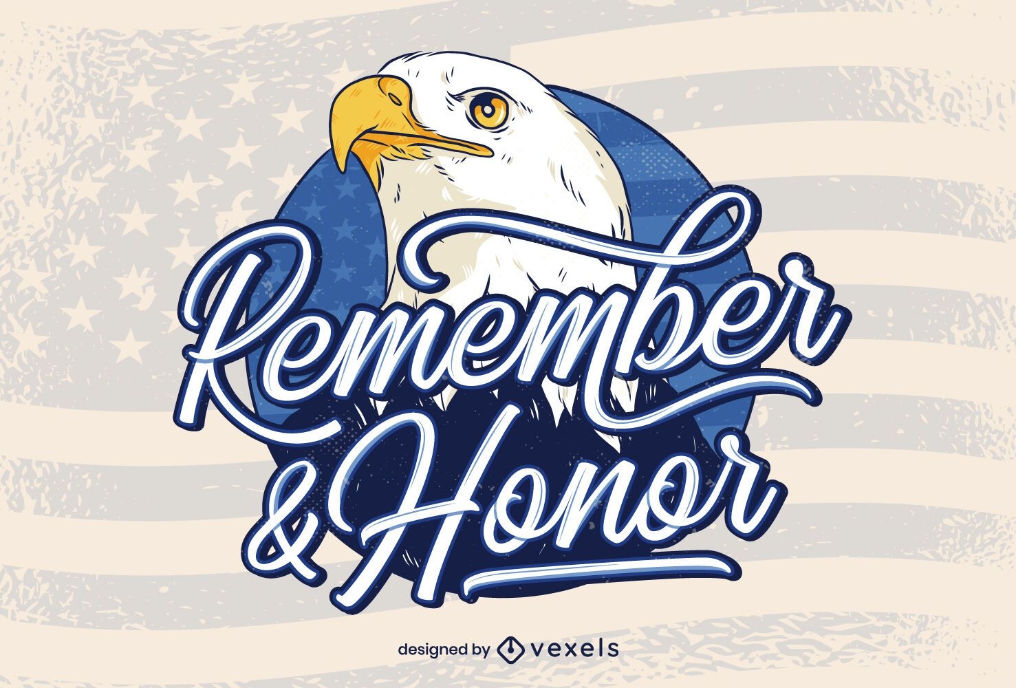
Remember & honor veterans day lettering
Choose a folder
All favorites
Create new
Save
Remember & honor veterans day lettering
Independence Day Statue of Liberty
Choose a folder
All favorites
Create new
Save
Independence Day Statue of Liberty
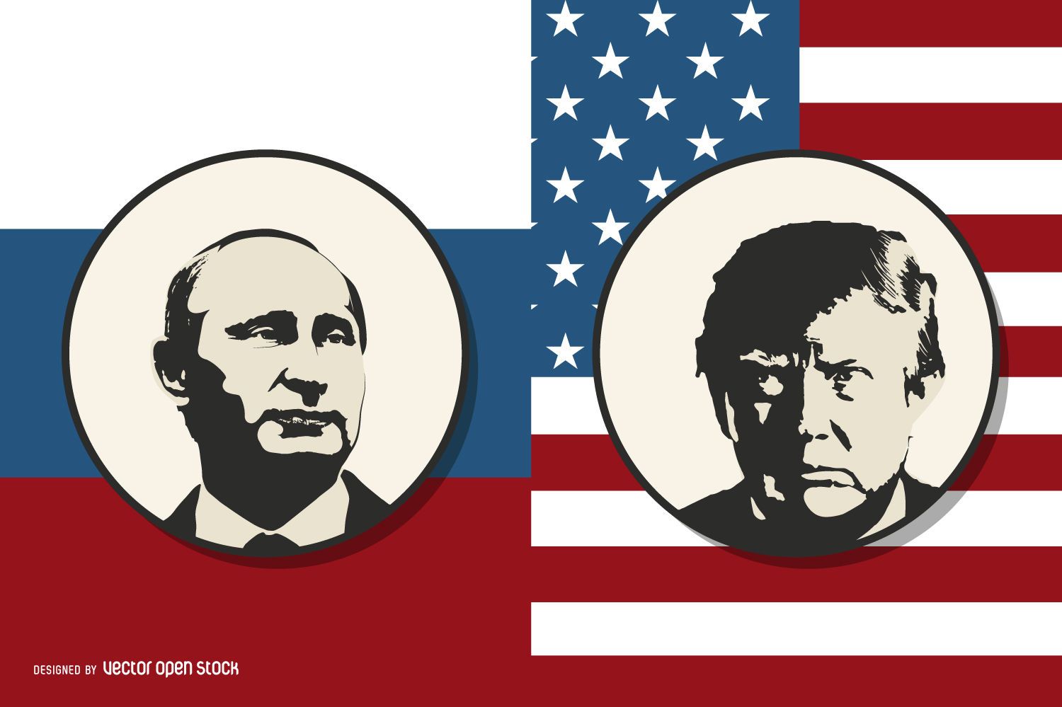
Putin vs Trump
Choose a folder
All favorites
Create new
Save
Putin vs Trump
Premium
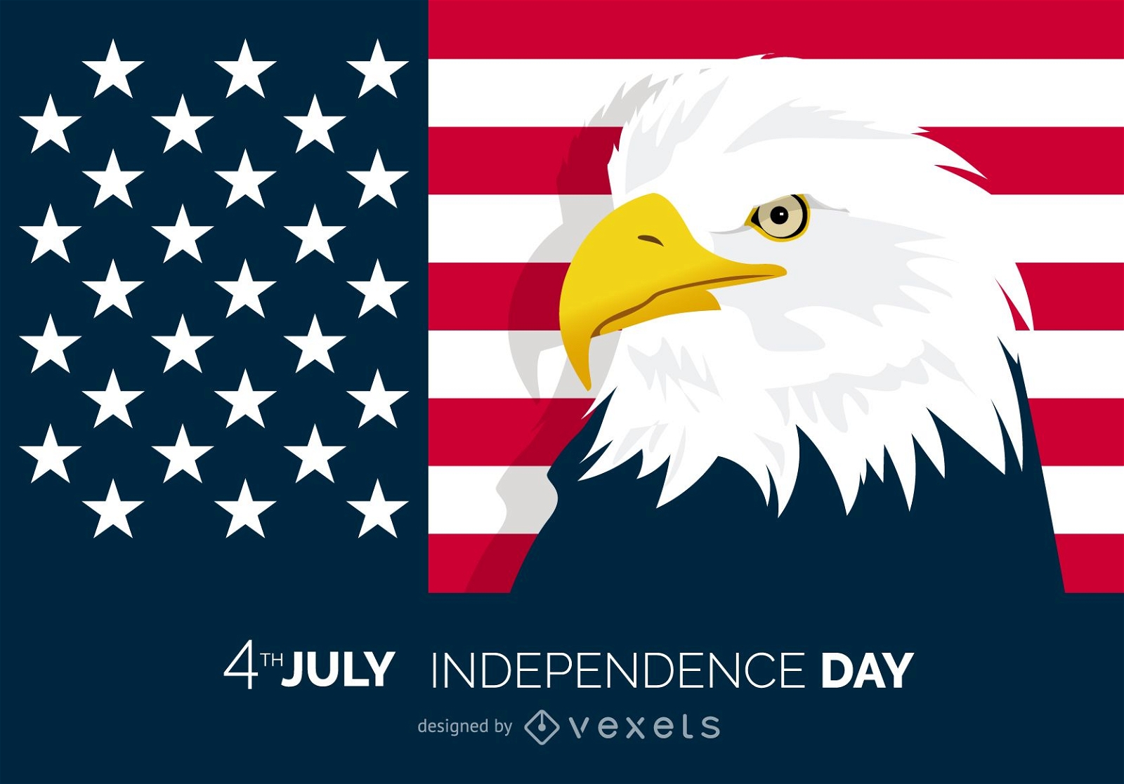
Patriotic 4th of July eagle design
Choose a folder
All favorites
Create new
Save
Patriotic 4th of July eagle design
Premium
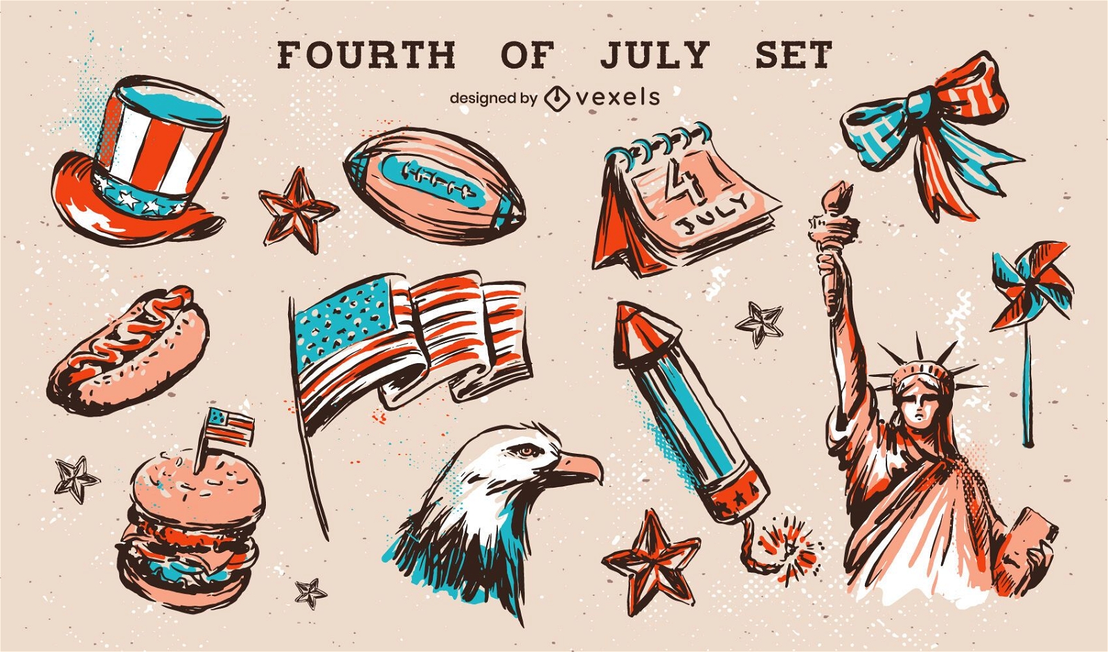
Fourth of july elements set
Choose a folder
All favorites
Create new
Save
Fourth of july elements set
Premium
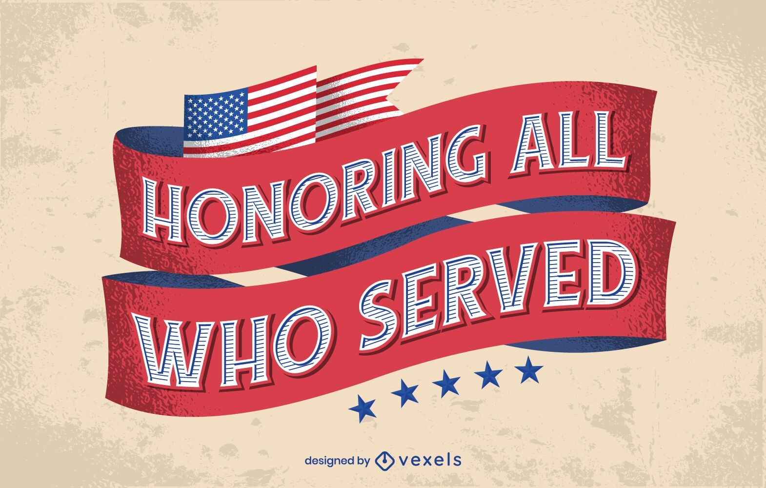
Honoring all veterans day lettering
Choose a folder
All favorites
Create new
Save
Honoring all veterans day lettering
Premium
american fireworks icon set
Choose a folder
All favorites
Create new
Save
american fireworks icon set
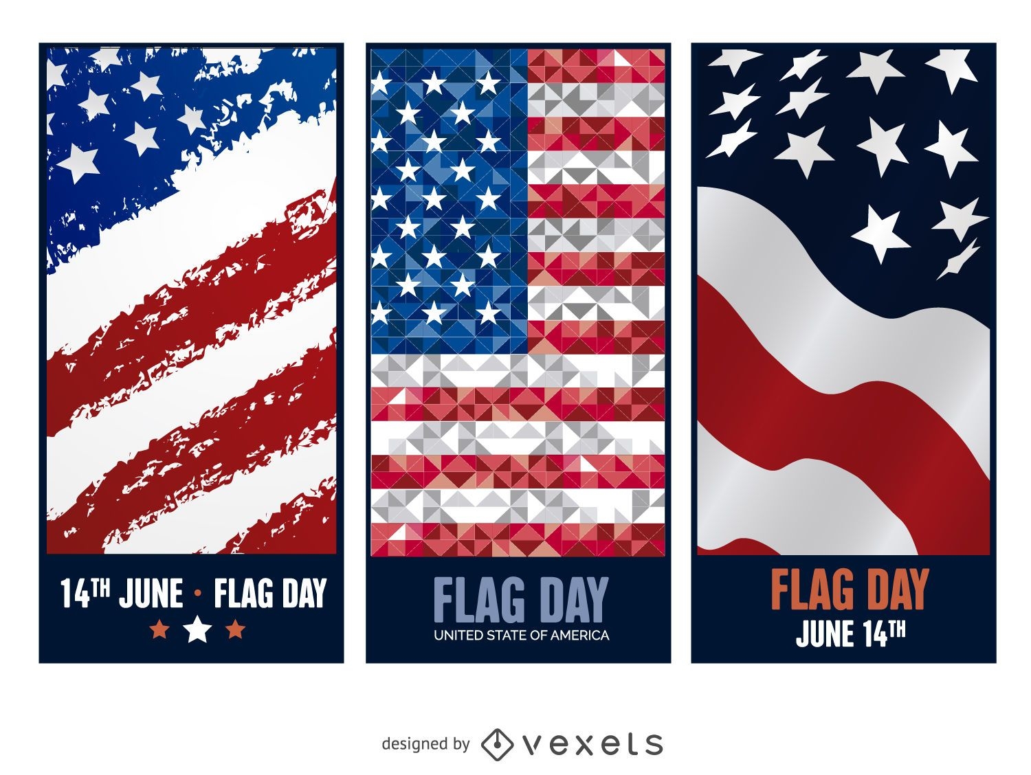
3 Flag Day banners
Choose a folder
All favorites
Create new
Save
3 Flag Day banners
2016 Red and White Calendar
Choose a folder
All favorites
Create new
Save
2016 Red and White Calendar
Premium
USA stroke icon set
Choose a folder
All favorites
Create new
Save
USA stroke icon set
Tileable pattern
Premium
USA zig zag pattern design
Choose a folder
All favorites
Create new
Save
USA zig zag pattern design
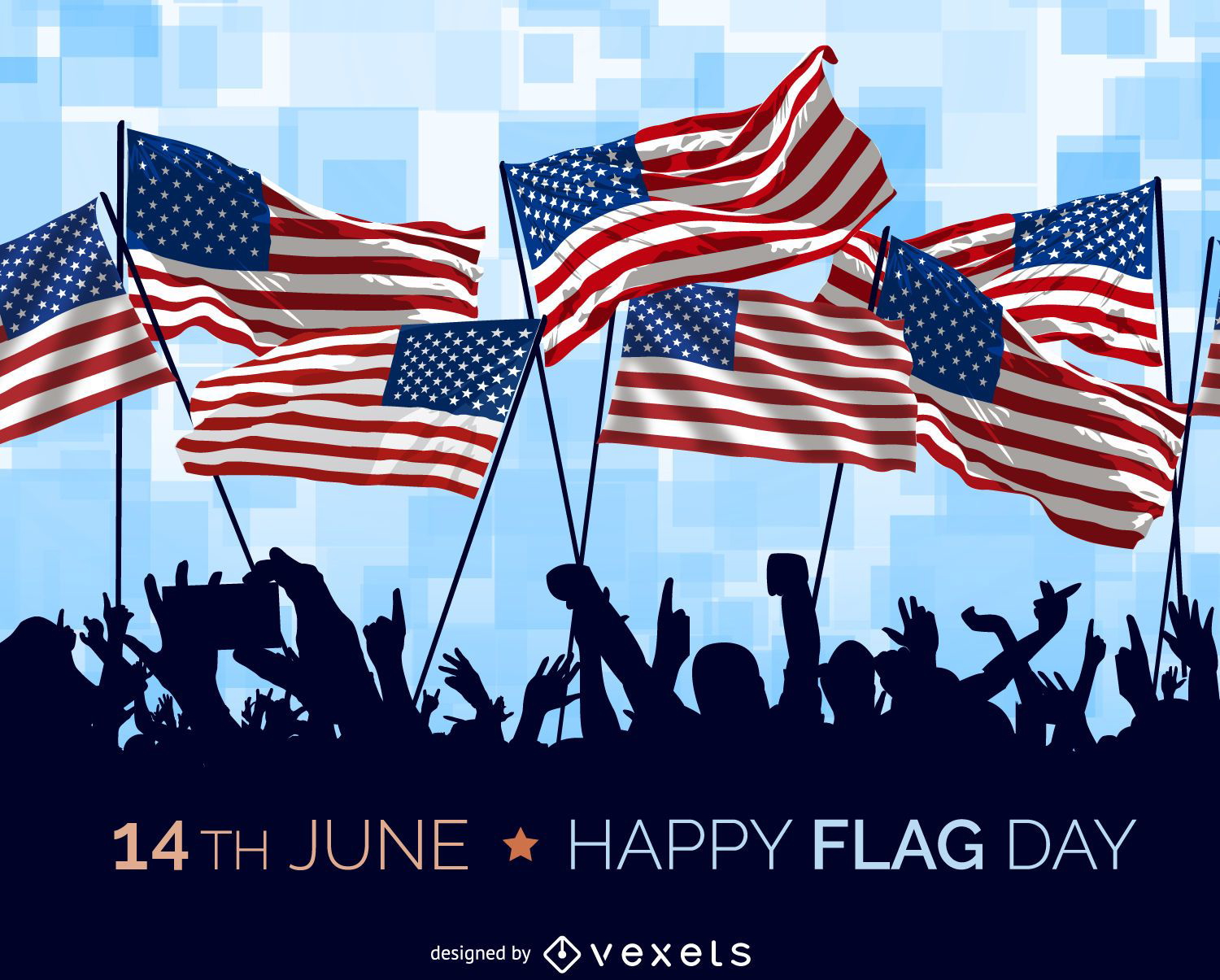
USA Flag Day illustration
Choose a folder
All favorites
Create new
Save
USA Flag Day illustration
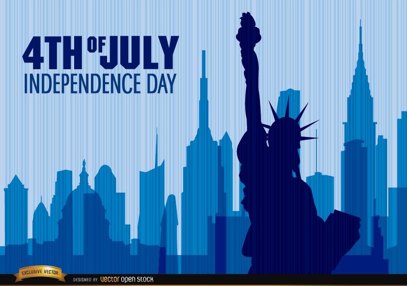
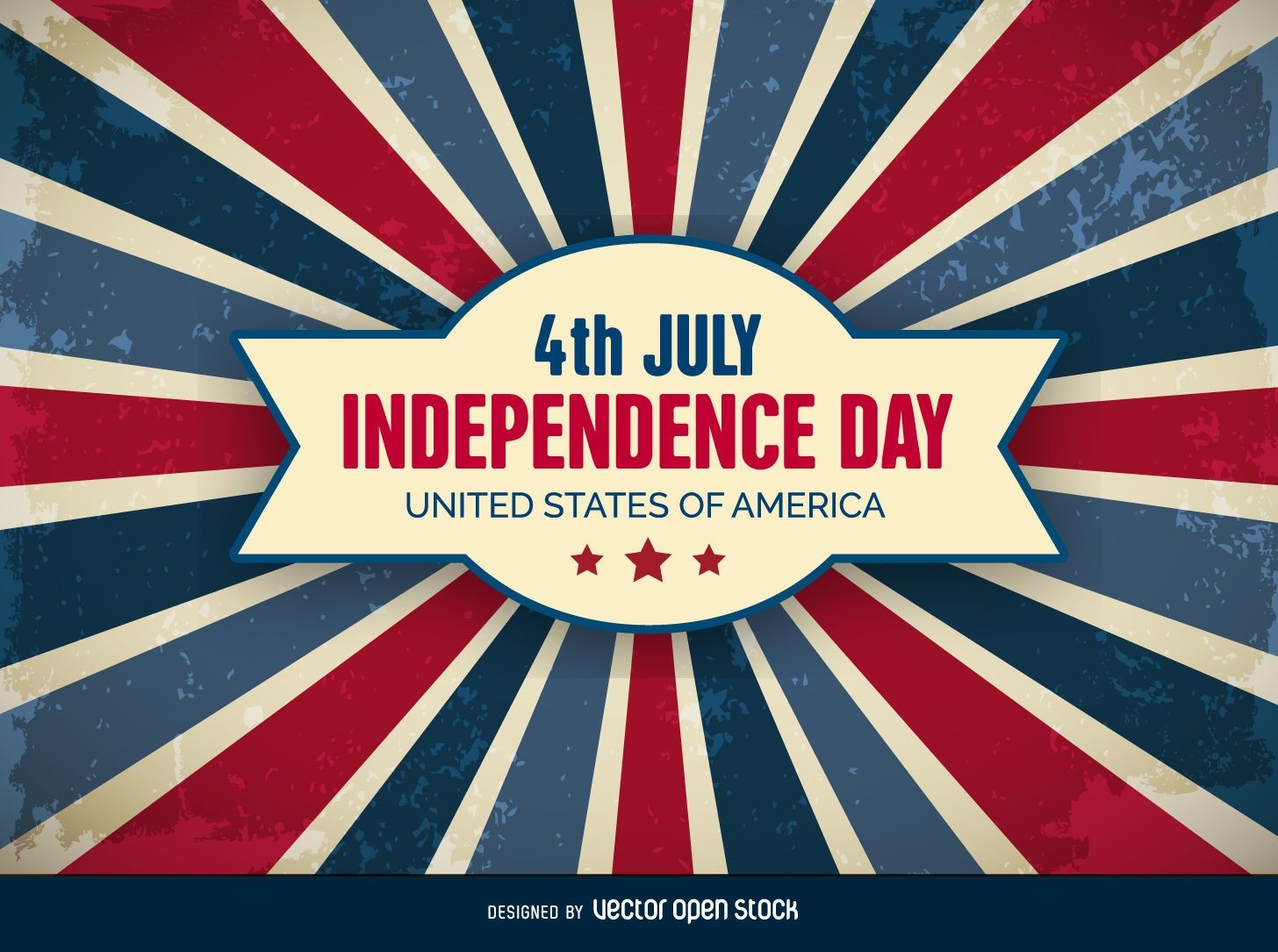
4th of July Independence Day Background
Choose a folder
All favorites
Create new
Save
4th of July Independence Day Background
Editable text
Print ready
Premium
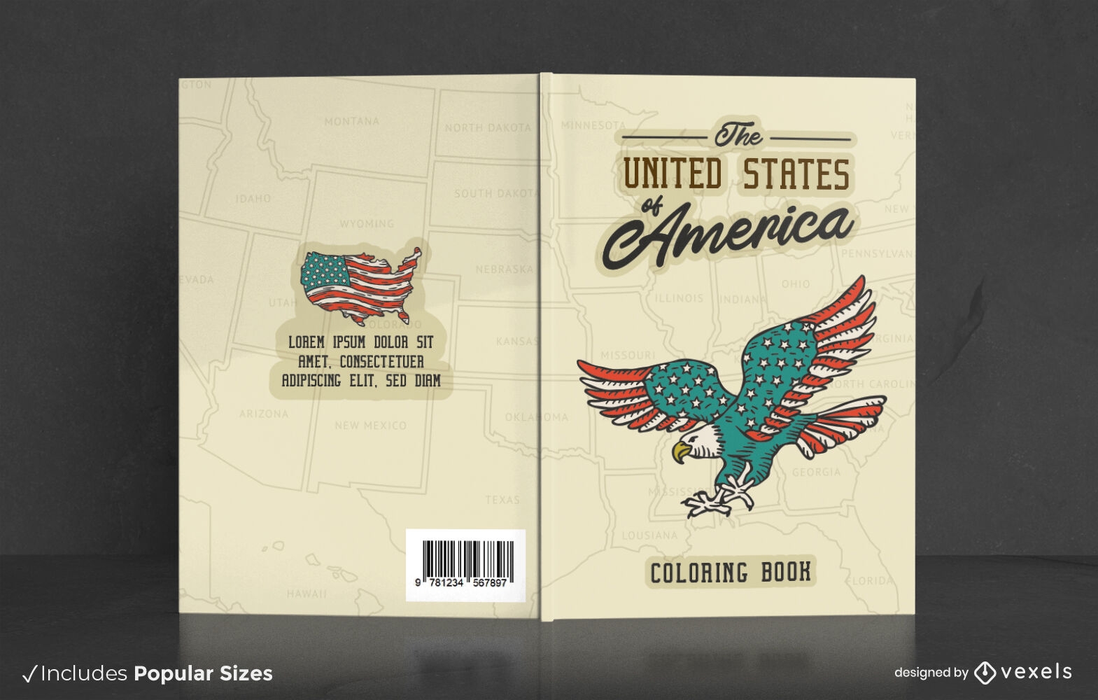
USA coloring book cover design
Choose a folder
All favorites
Create new
Save
USA coloring book cover design
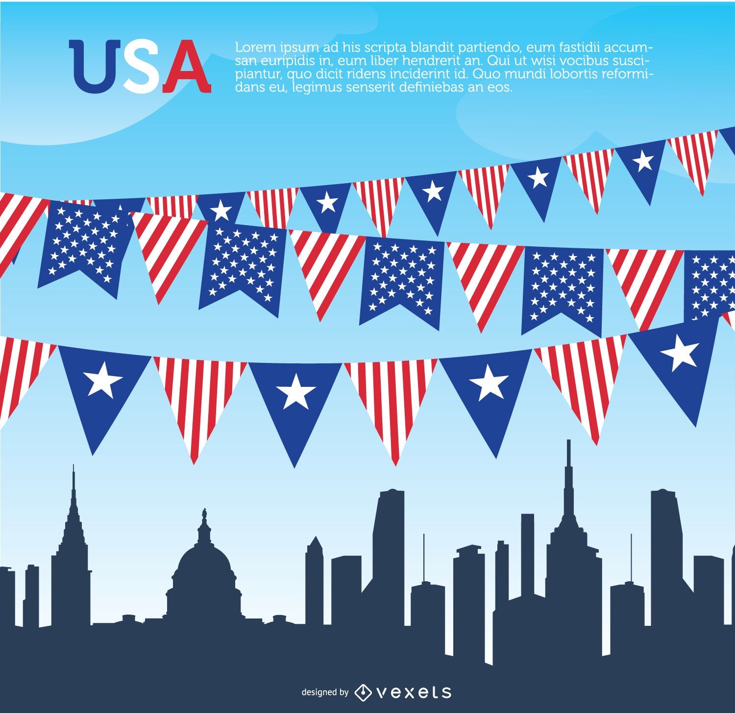
USA pennants and Skyline
Choose a folder
All favorites
Create new
Save
USA pennants and Skyline
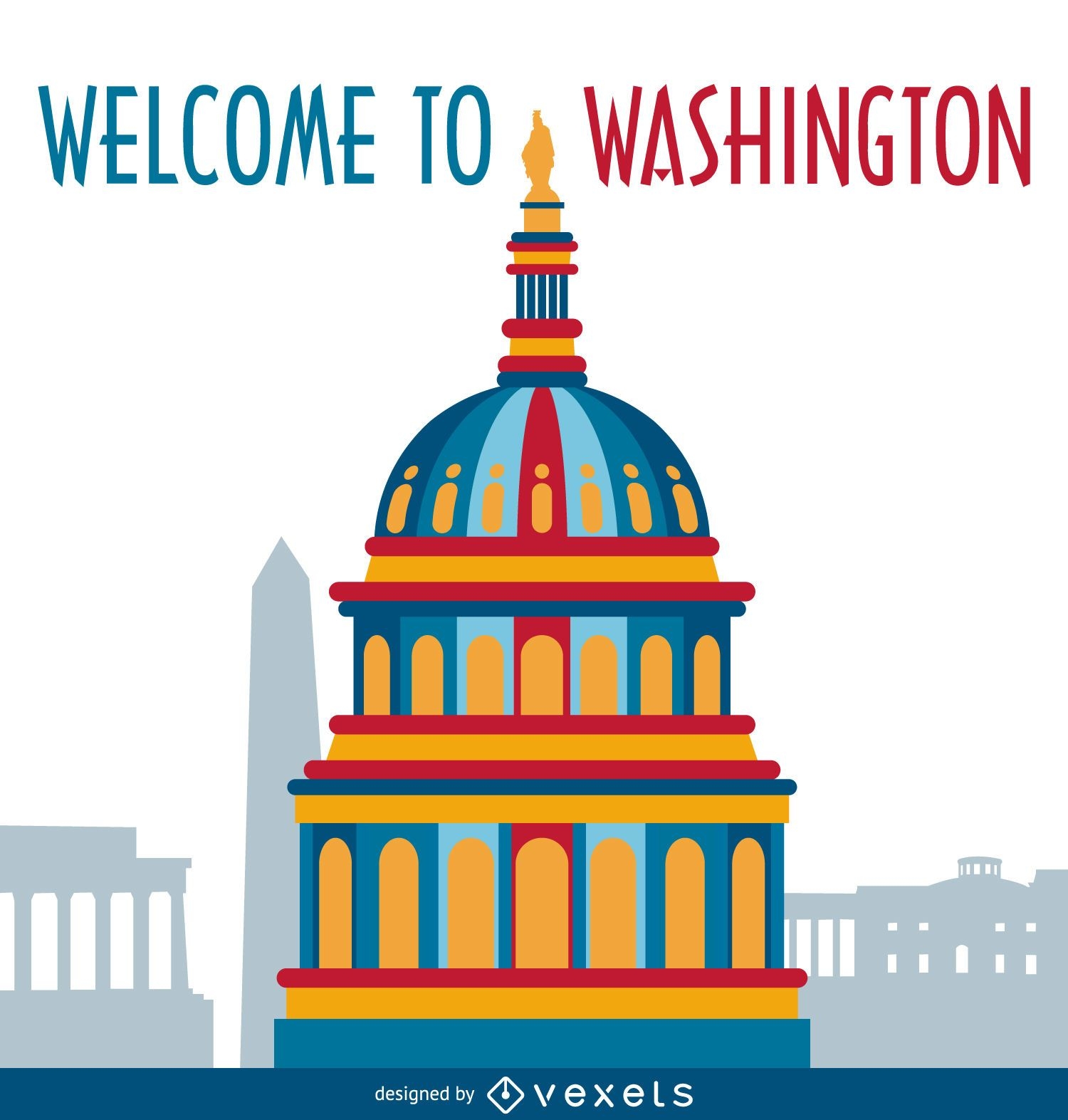
Washington illustration postcard
Choose a folder
All favorites
Create new
Save
Washington illustration postcard
Election republican democrat badge
Choose a folder
All favorites
Create new
Save
Election republican democrat badge
Premium
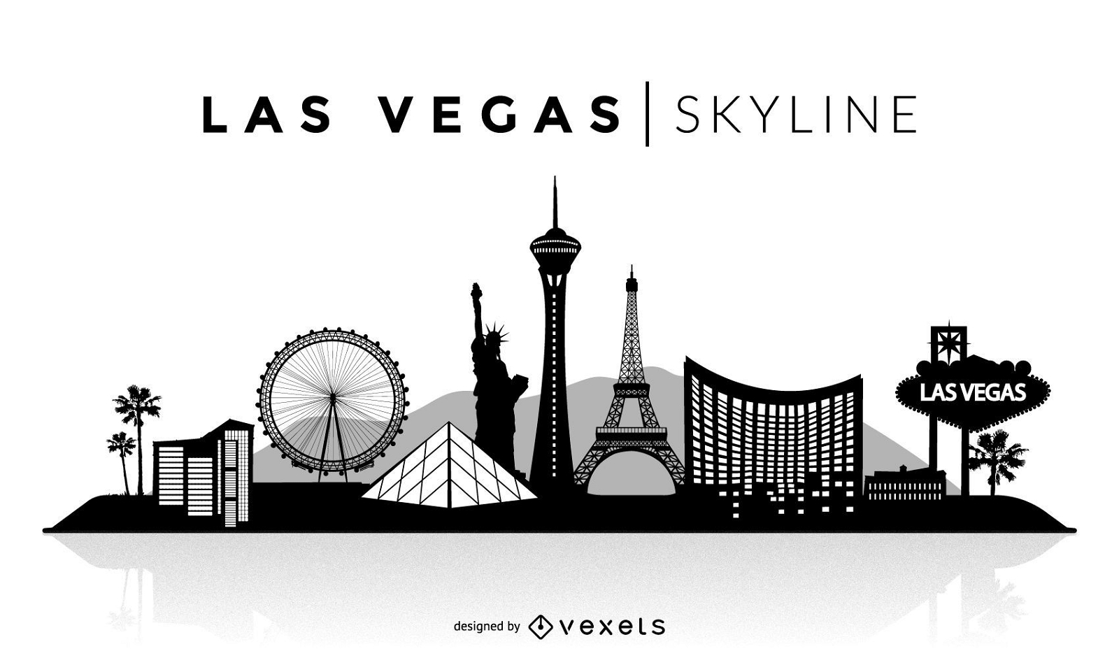
Las Vegas silhouette skyline
Choose a folder
All favorites
Create new
Save
Las Vegas silhouette skyline
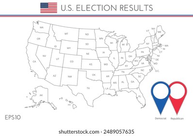
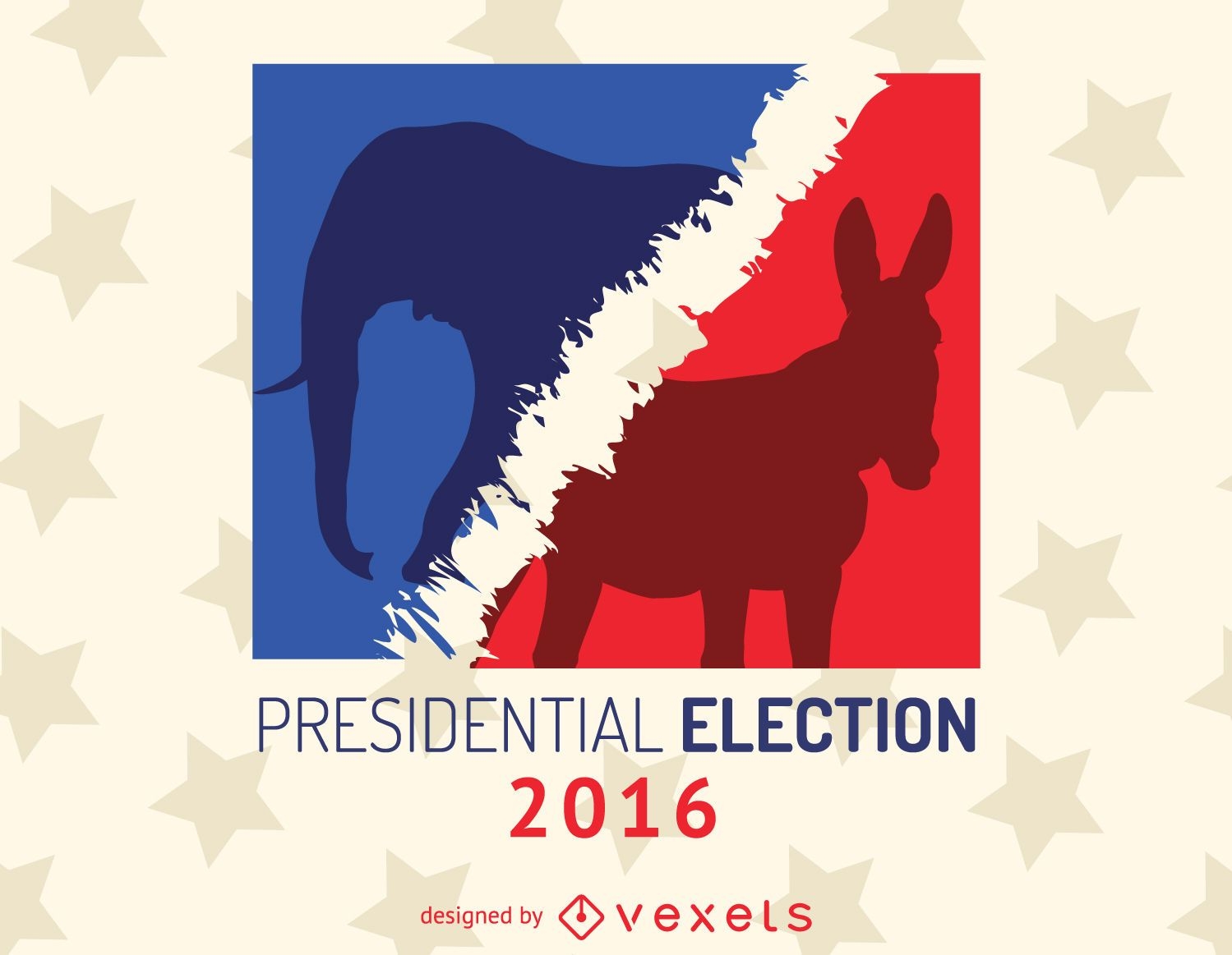
2016 presidential election sign
Choose a folder
All favorites
Create new
Save
2016 presidential election sign
Boost Your Business
With The Leading Graphic Platform For Merch.
SEE PLANS
Next
of 8
prev page
next page