Design Library
Explore Designs
New Merch Designs
Trending Merch Designs
Vectors
PNGs & SVGs
Mockups
T-Shirts
T-Shirt PSD Templates
KDP Designs
Phone Cases
Pillows
Tote Bags
Posters
Mugs
Design Tools
Designer
New!
T-shirt Maker
Mockup Generator
Quote Generator
Logo Maker
Resources
Merch Digest
Blog
Help Center
Creators Program
Learn About Merch
Changelog
Pricing
Loading...
Sign Up
Login
PNG
map
Design Library
Explore Designs
New Merch Designs
Trending Merch Designs
Vectors
PNGs & SVGs
Mockups
T-Shirts
T-Shirt PSD Templates
KDP Designs
Phone Cases
Pillows
Tote Bags
Posters
Mugs
Design Tools
Designer
New!
T-shirt Maker
Mockup Generator
Quote Generator
Logo Maker
Resources
Merch Digest
Blog
Help Center
Creators Program
Learn About Merch
Changelog
PLANS
PNG
map
1752 map PNG and SVG Editable Vectors
Download editable map PNG and SVG Vectors with transparent background.
Related:
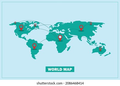
world map
,
map silhouette
Sort by
Most relevant
Sponsored results by
Get 15% off with code: VEXELS15
Show more
×
We didn't find any
map
PNG, but here's all our
map
designs or
request design here
Book Cover Designs
Premium
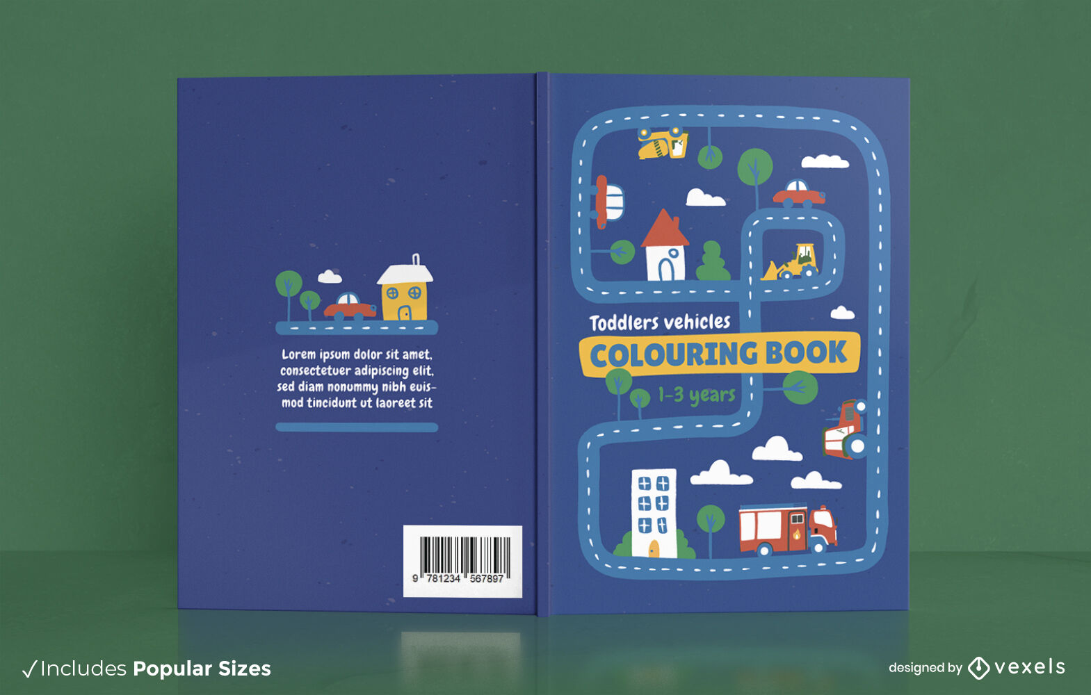
Vehicles map coloring book cover design
Choose a folder
All favorites
Create new
Save
Vehicles map coloring book cover design
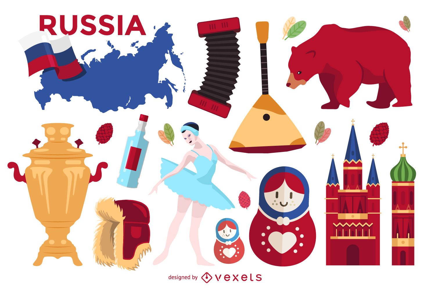
Illustrated Russia elements set
Choose a folder
All favorites
Create new
Save
Illustrated Russia elements set
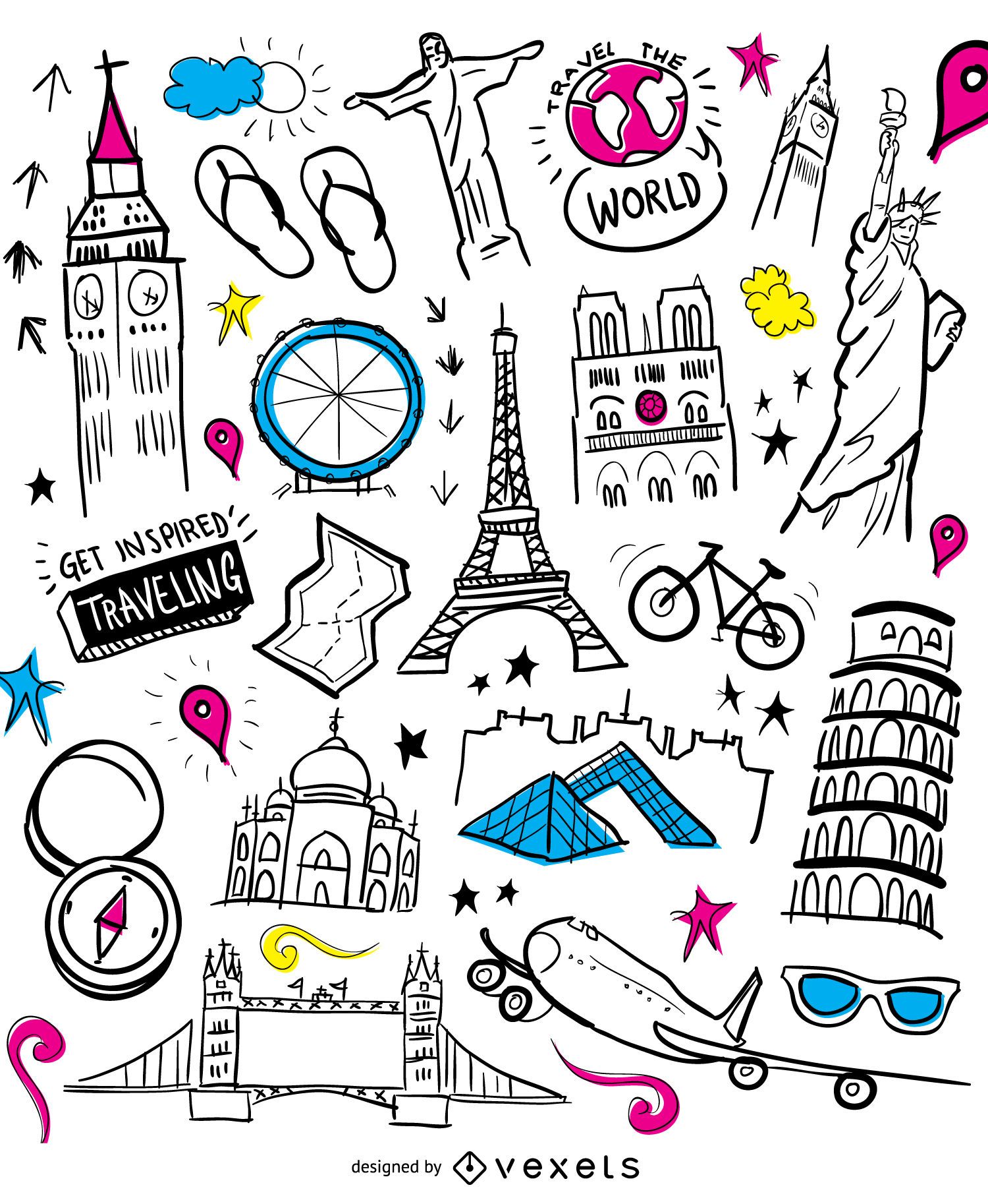
Airplane travel doodle monuments
Choose a folder
All favorites
Create new
Save
Airplane travel doodle monuments
New Mexico state stroke map PNG Design
Choose a folder
All favorites
Create new
Save
New Mexico state stroke map PNG Design
Indiana state mandala map PNG Design
Choose a folder
All favorites
Create new
Save
Indiana state mandala map PNG Design
USA map borders with flag hand drawn badge PNG Design
Choose a folder
All favorites
Create new
Save
USA map borders with flag hand drawn badge PNG Design
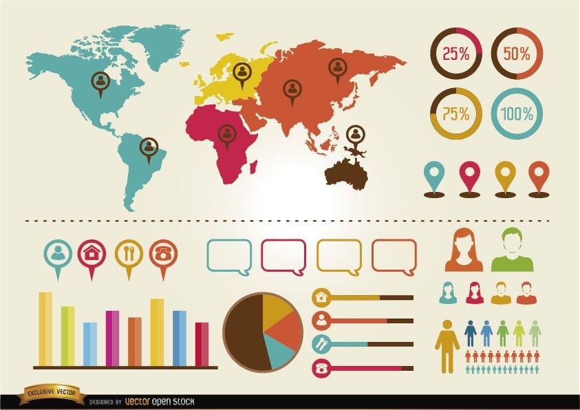
Glossy Colorful Infographic Elements
Choose a folder
All favorites
Create new
Save
Glossy Colorful Infographic Elements
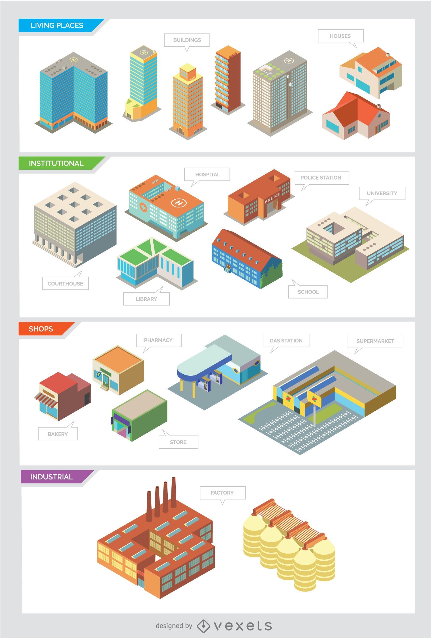
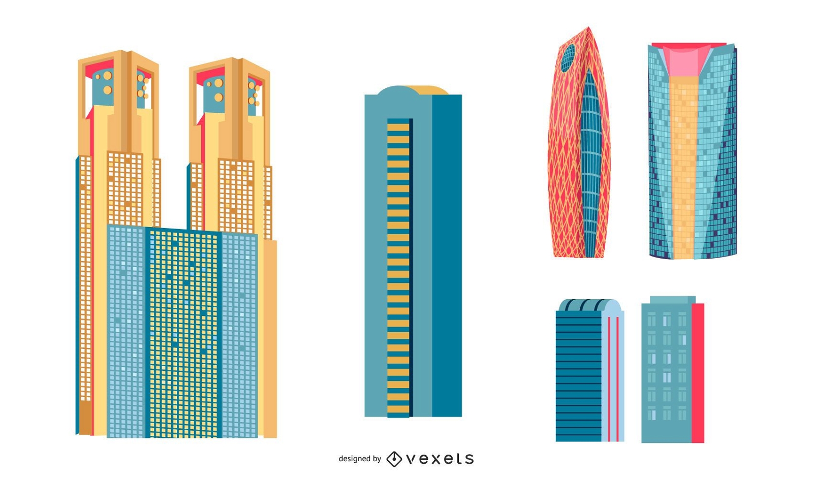
City buildings - Isolated and Isometric
Choose a folder
All favorites
Create new
Save
City buildings - Isolated and Isometric
Editable text
Print ready
Premium
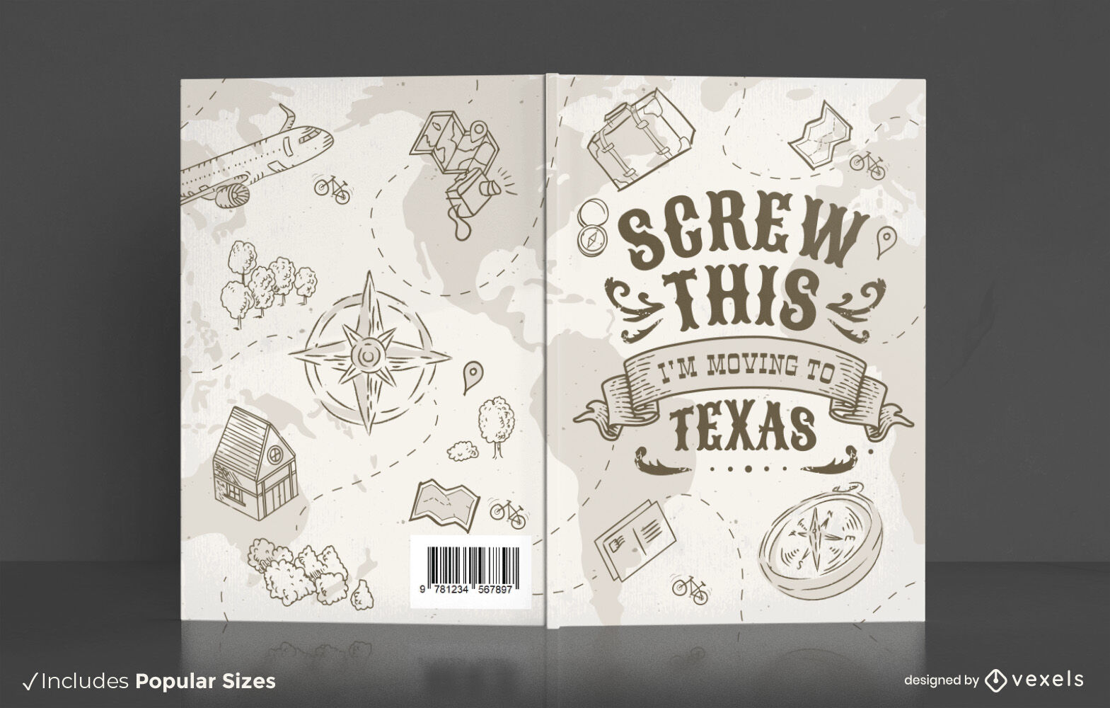
Travel texas book cover design
Choose a folder
All favorites
Create new
Save
Travel texas book cover design
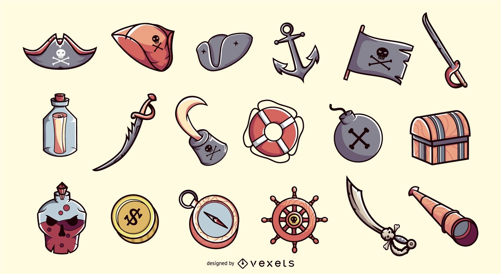
Pirate elements illustration collection
Choose a folder
All favorites
Create new
Save
Pirate elements illustration collection
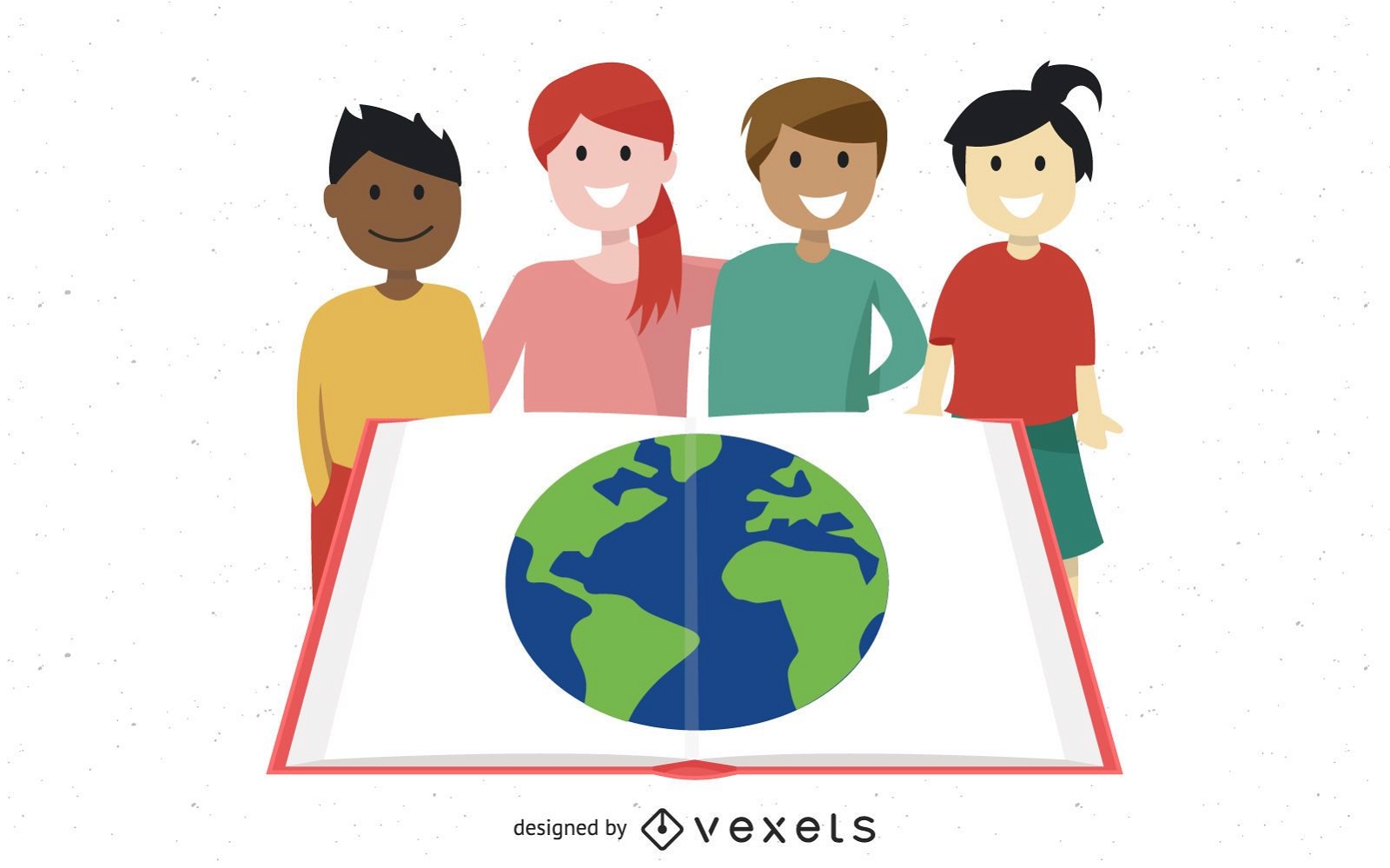
Group Studying Kids with Globe in Open Book
Choose a folder
All favorites
Create new
Save
Group Studying Kids with Globe in Open Book
Travelling elements wallpaper
Choose a folder
All favorites
Create new
Save
Travelling elements wallpaper
Premium
The state of ohio with a colorful background PNG Design
Choose a folder
All favorites
Create new
Save
The state of ohio with a colorful background PNG Design
Premium
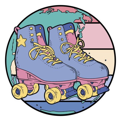
Rollers superimposed on a world map PNG Design
Choose a folder
All favorites
Create new
Save
Rollers superimposed on a world map PNG Design
Template Business Background with Globe and Lines
Choose a folder
All favorites
Create new
Save
Template Business Background with Globe and Lines
Blue Tech Fluorescent Financial Chart Background
Choose a folder
All favorites
Create new
Save
Blue Tech Fluorescent Financial Chart Background
Liberty america map filled stroke PNG Design
Choose a folder
All favorites
Create new
Save
Liberty america map filled stroke PNG Design
Geo Pin with House Logo
Choose a folder
All favorites
Create new
Save
Geo Pin with House Logo
Premium
The state of idaho is shown PNG Design
Choose a folder
All favorites
Create new
Save
The state of idaho is shown PNG Design
Mississippi state mandala map element PNG Design
Choose a folder
All favorites
Create new
Save
Mississippi state mandala map element PNG Design
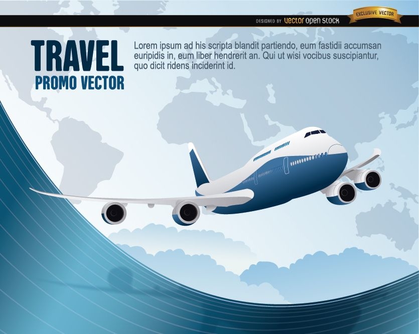
World Travel plane wavy
Choose a folder
All favorites
Create new
Save
World Travel plane wavy
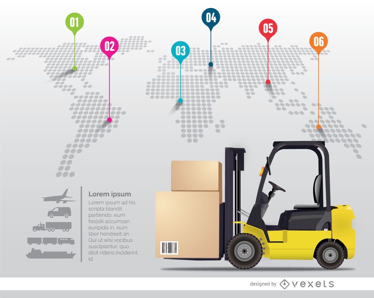
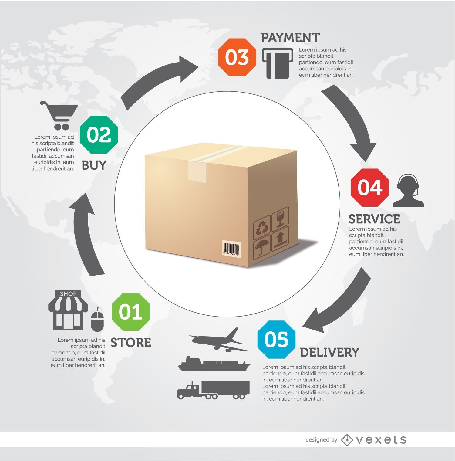
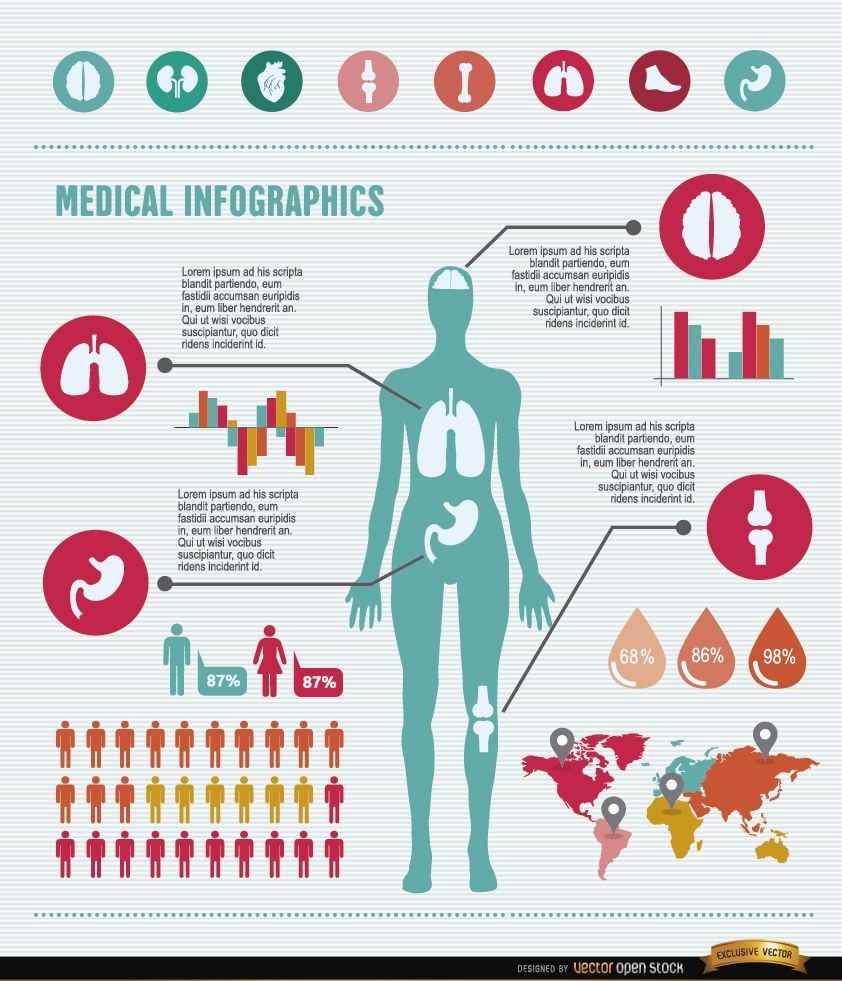
International delivery infographic
Choose a folder
All favorites
Create new
Save
International delivery infographic
Japanese Buildings
Choose a folder
All favorites
Create new
Save
Japanese Buildings
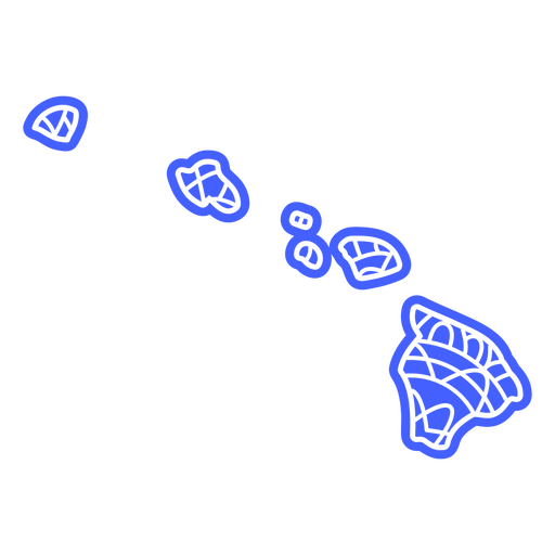
Hawaii state mandala map PNG Design
Choose a folder
All favorites
Create new
Save
Hawaii state mandala map PNG Design
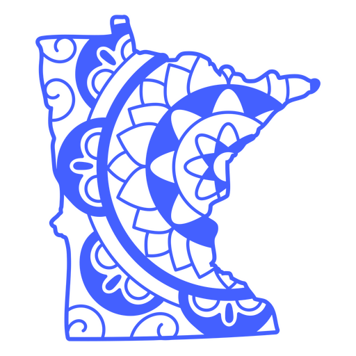
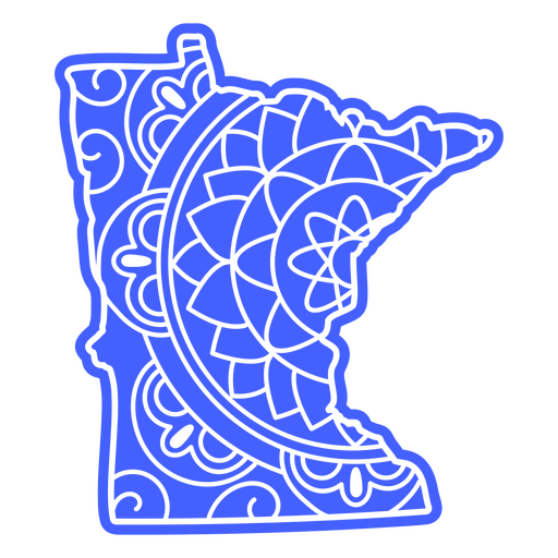
Minnesota state mandala map stroke PNG Design
Choose a folder
All favorites
Create new
Save
Minnesota state mandala map stroke PNG Design
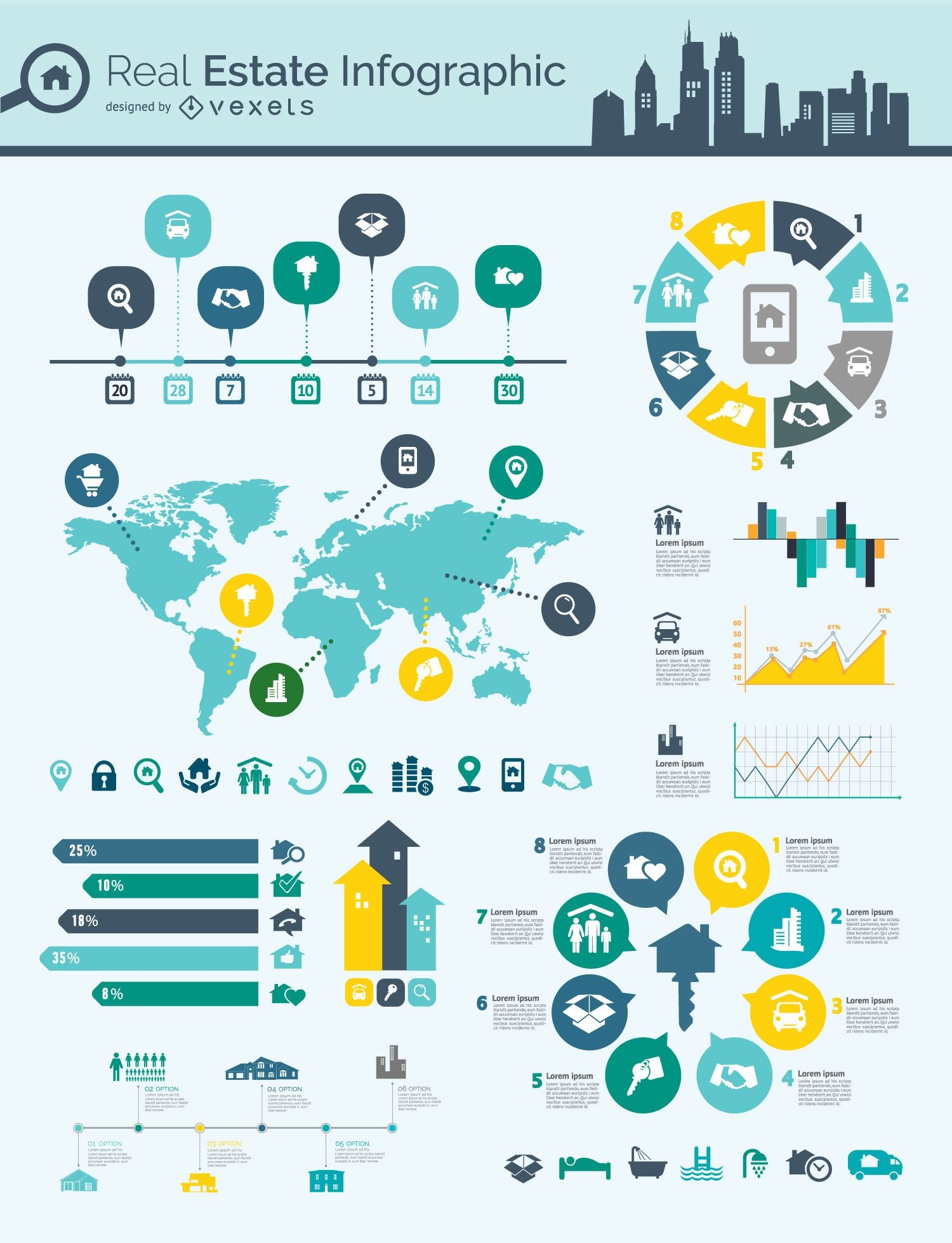
Real estate infographic mindmap
Choose a folder
All favorites
Create new
Save
Real estate infographic mindmap
Delivery process infographic
Choose a folder
All favorites
Create new
Save
Delivery process infographic
Hiking winter holidays
Choose a folder
All favorites
Create new
Save
Hiking winter holidays
Social infographics resources pack
Choose a folder
All favorites
Create new
Save
Social infographics resources pack
Blue Globe Curvy Edge Business Background
Choose a folder
All favorites
Create new
Save
Blue Globe Curvy Edge Business Background
Women health infographics resources
Choose a folder
All favorites
Create new
Save
Women health infographics resources
Hand drawn infographic elements
Choose a folder
All favorites
Create new
Save
Hand drawn infographic elements
Premium
The state of wyoming with the word wyoming on it PNG Design
Choose a folder
All favorites
Create new
Save
The state of wyoming with the word wyoming on it PNG Design
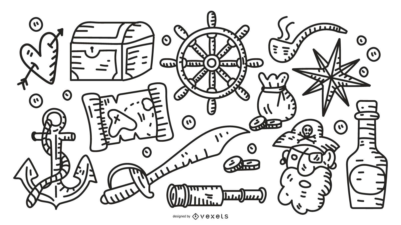
Pirate stroke elements collection
Choose a folder
All favorites
Create new
Save
Pirate stroke elements collection
Minnesota state mandala map PNG Design
Choose a folder
All favorites
Create new
Save
Minnesota state mandala map PNG Design
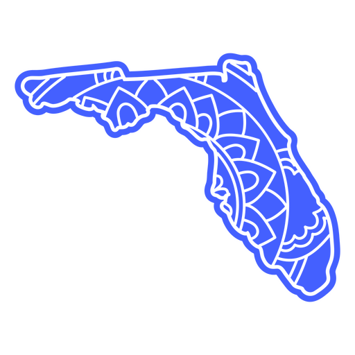
Florida state map mandala PNG Design
Choose a folder
All favorites
Create new
Save
Florida state map mandala PNG Design
Premium
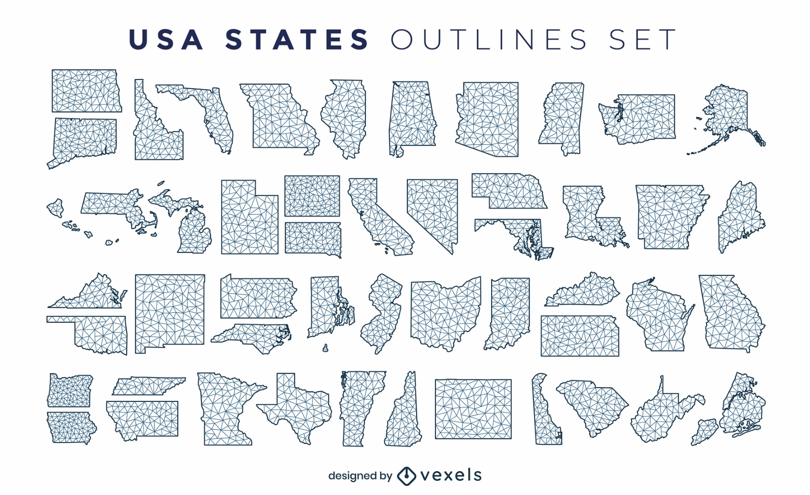
States of the US polygonal silhouettes set
Choose a folder
All favorites
Create new
Save
States of the US polygonal silhouettes set
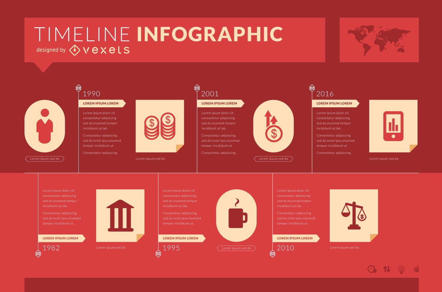
Infographic timeline template
Choose a folder
All favorites
Create new
Save
Infographic timeline template
Premium
Delivery app screen design
Choose a folder
All favorites
Create new
Save
Delivery app screen design
Globe Vector 2
Choose a folder
All favorites
Create new
Save
Globe Vector 2
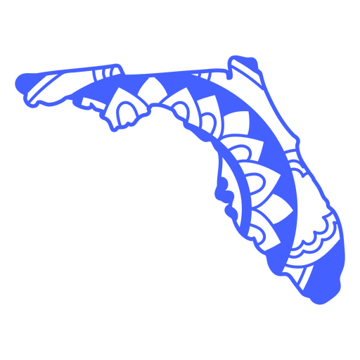
Florida state mandala map stroke PNG Design
Choose a folder
All favorites
Create new
Save
Florida state mandala map stroke PNG Design
Editable text
Print ready
Premium
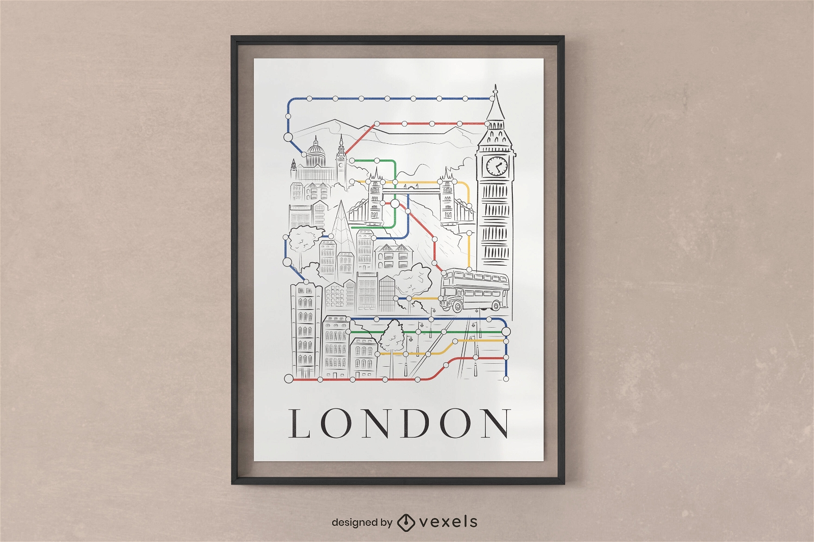
London city subway poster design
Choose a folder
All favorites
Create new
Save
London city subway poster design
Premium
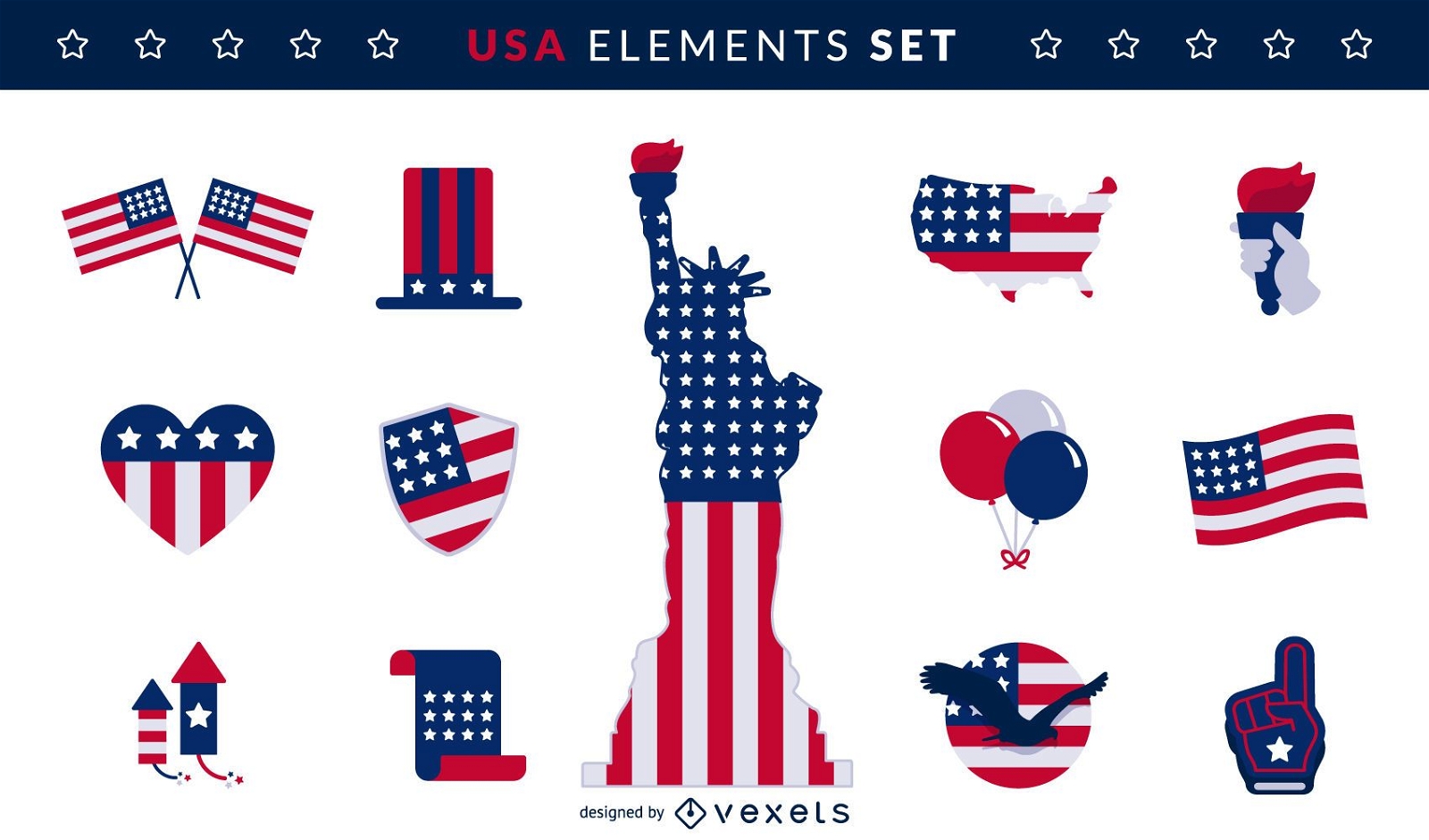
USA flag elements set
Choose a folder
All favorites
Create new
Save
USA flag elements set
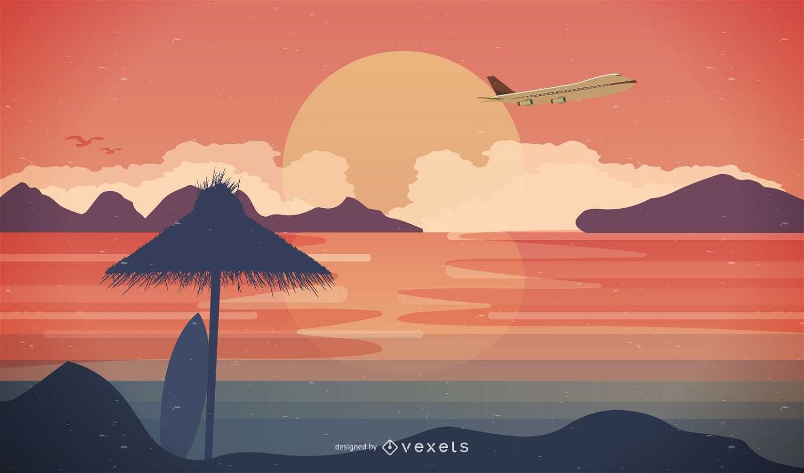
Travel Scene with Airplane & Beach Sunset
Choose a folder
All favorites
Create new
Save
Travel Scene with Airplane & Beach Sunset
Freedom usa map cut out PNG Design
Choose a folder
All favorites
Create new
Save
Freedom usa map cut out PNG Design
Premium
Delivery application design
Choose a folder
All favorites
Create new
Save
Delivery application design
Premium
50 heart-shaped country flags
Choose a folder
All favorites
Create new
Save
50 heart-shaped country flags
Set of 2 traveling postcards
Choose a folder
All favorites
Create new
Save
Set of 2 traveling postcards
Young Businessman Showing Globe
Choose a folder
All favorites
Create new
Save
Young Businessman Showing Globe
Kansas state mandala map PNG Design
Choose a folder
All favorites
Create new
Save
Kansas state mandala map PNG Design
Subscribe
To Get High-Quality Commercial Use Designs For Your Business
SEE PLANS
Next
of 36
prev page
next page