Design Library
Explore Designs
New Merch Designs
Trending Merch Designs
Vectors
PNGs & SVGs
Mockups
T-Shirts
T-Shirt PSD Templates
KDP Designs
Phone Cases
Pillows
Tote Bags
Posters
Mugs
Design Tools
Designer
New!
T-shirt Maker
Mockup Generator
Quote Generator
Logo Maker
Resources
Merch Digest
Blog
Help Center
Creators Program
Learn About Merch
Changelog
Pricing
Loading...
Sign Up
Login
PNG
map
Design Library
Explore Designs
New Merch Designs
Trending Merch Designs
Vectors
PNGs & SVGs
Mockups
T-Shirts
T-Shirt PSD Templates
KDP Designs
Phone Cases
Pillows
Tote Bags
Posters
Mugs
Design Tools
Designer
New!
T-shirt Maker
Mockup Generator
Quote Generator
Logo Maker
Resources
Merch Digest
Blog
Help Center
Creators Program
Learn About Merch
Changelog
PLANS
PNG
map
1752 map PNG and SVG Editable Vectors
Download editable map PNG and SVG Vectors with transparent background.
Related:
world map
,
map silhouette
Sort by
Most relevant
Sponsored results by
Get 15% off with code: VEXELS15
Show more
×
We didn't find any
map
PNG, but here's all our
map
designs or
request design here
Men and women health world infographics
Choose a folder
All favorites
Create new
Save
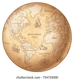
Men and women health world infographics
Premium
United States elections design
Choose a folder
All favorites
Create new
Save
United States elections design
Global Business Around the World
Choose a folder
All favorites
Create new
Save
Global Business Around the World
Iowa state mandala map stroke PNG Design
Choose a folder
All favorites
Create new
Save
Iowa state mandala map stroke PNG Design
Louisiana state mandala map PNG Design
Choose a folder
All favorites
Create new
Save
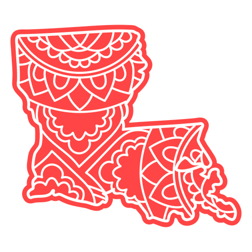
Louisiana state mandala map PNG Design
Premium
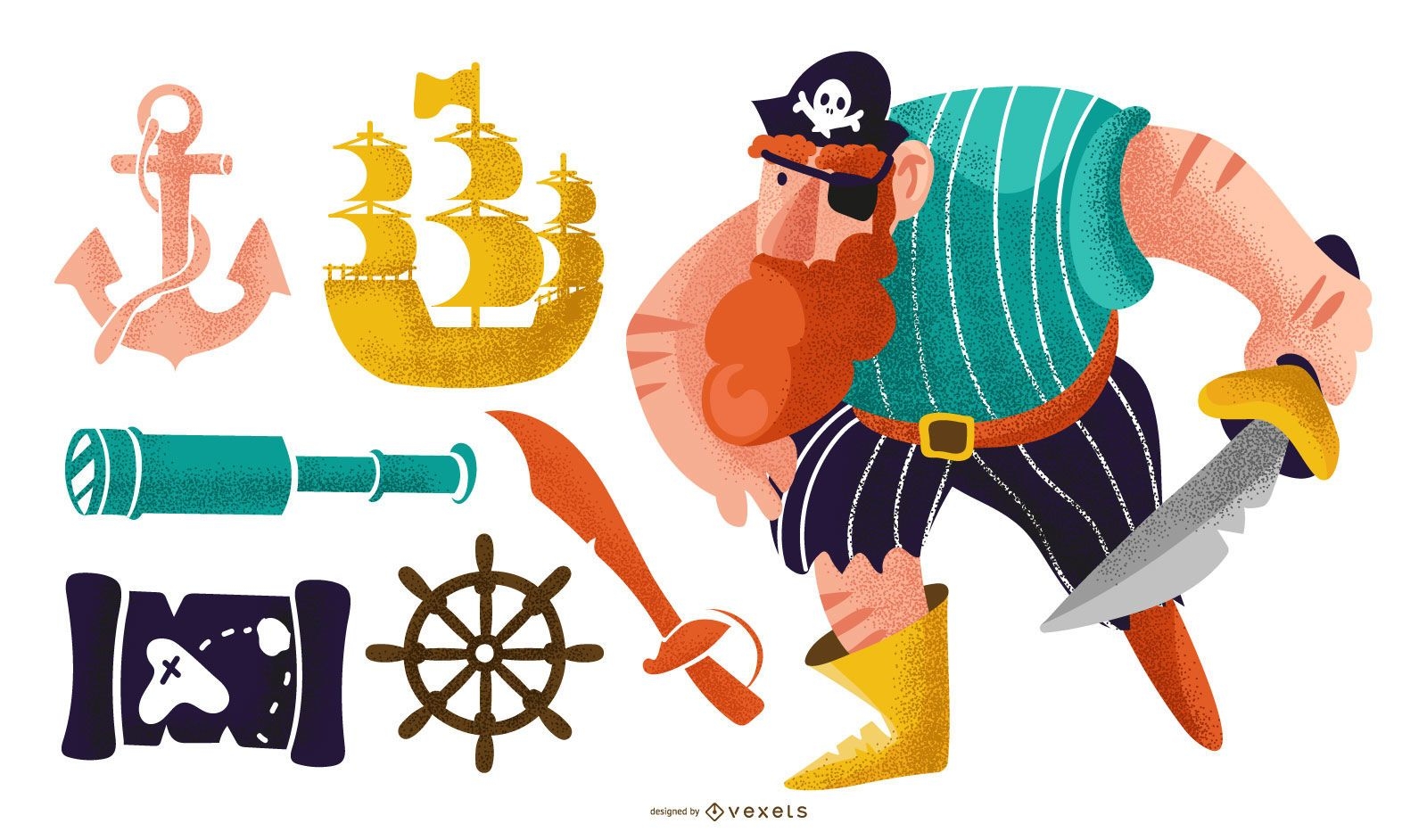
Pirate elements vector set
Choose a folder
All favorites
Create new
Save
Pirate elements vector set
Business people
Choose a folder
All favorites
Create new
Save
Business people
Green Earth Background with Bubbles
Choose a folder
All favorites
Create new
Save
Green Earth Background with Bubbles
North Dakota state stroke map PNG Design
Choose a folder
All favorites
Create new
Save
North Dakota state stroke map PNG Design
Travel World Grid Background
Choose a folder
All favorites
Create new
Save
Travel World Grid Background
Fresh Environment Earth Day Background
Choose a folder
All favorites
Create new
Save
Fresh Environment Earth Day Background
Premium
The new york state is shown in brown PNG Design
Choose a folder
All favorites
Create new
Save
The new york state is shown in brown PNG Design
Kentucky state mandala map stroke PNG Design
Choose a folder
All favorites
Create new
Save
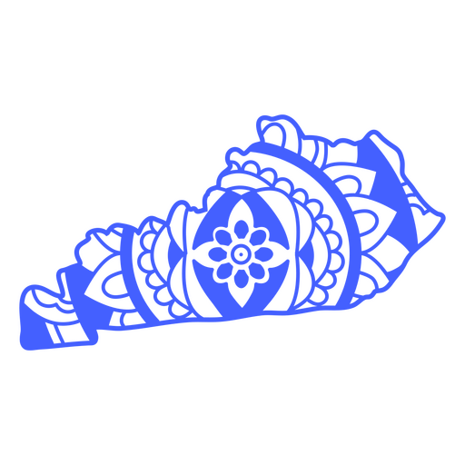
Kentucky state mandala map stroke PNG Design
Michigan state mandala map stroke PNG Design
Choose a folder
All favorites
Create new
Save
Michigan state mandala map stroke PNG Design
Premium
Blue earth globe PNG Design
Choose a folder
All favorites
Create new
Save
Blue earth globe PNG Design
Brazil 2014 country fan crowds
Choose a folder
All favorites
Create new
Save
Brazil 2014 country fan crowds
Tileable pattern
Premium
World travel elements pattern design
Choose a folder
All favorites
Create new
Save
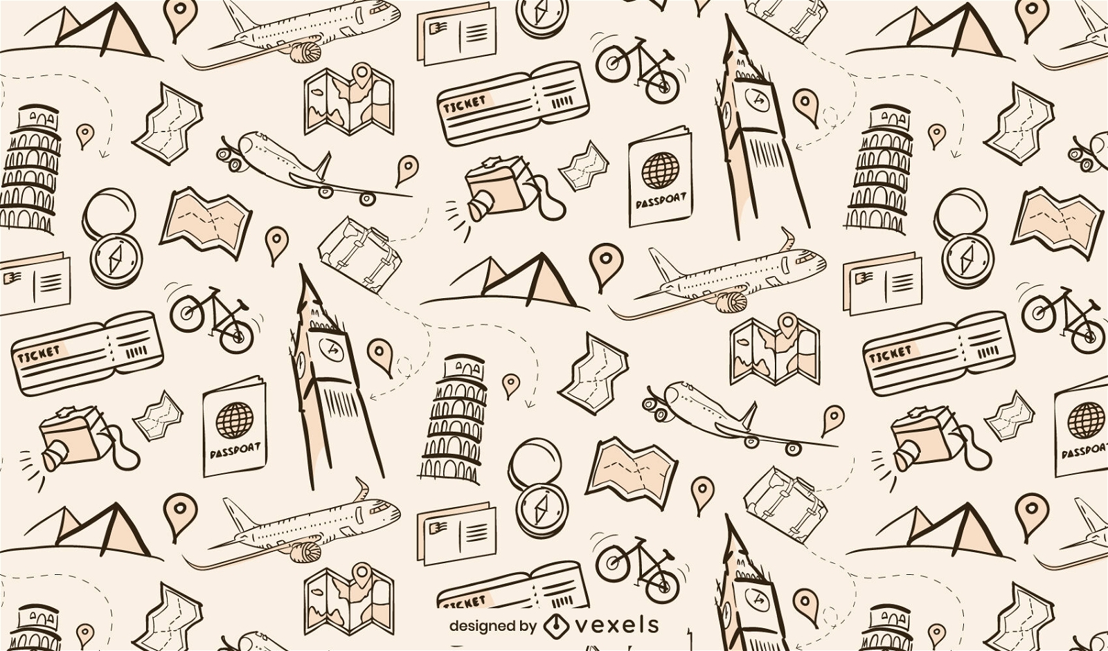
World travel elements pattern design
Minimal Travel & Tourism Icon Set
Choose a folder
All favorites
Create new
Save
Minimal Travel & Tourism Icon Set
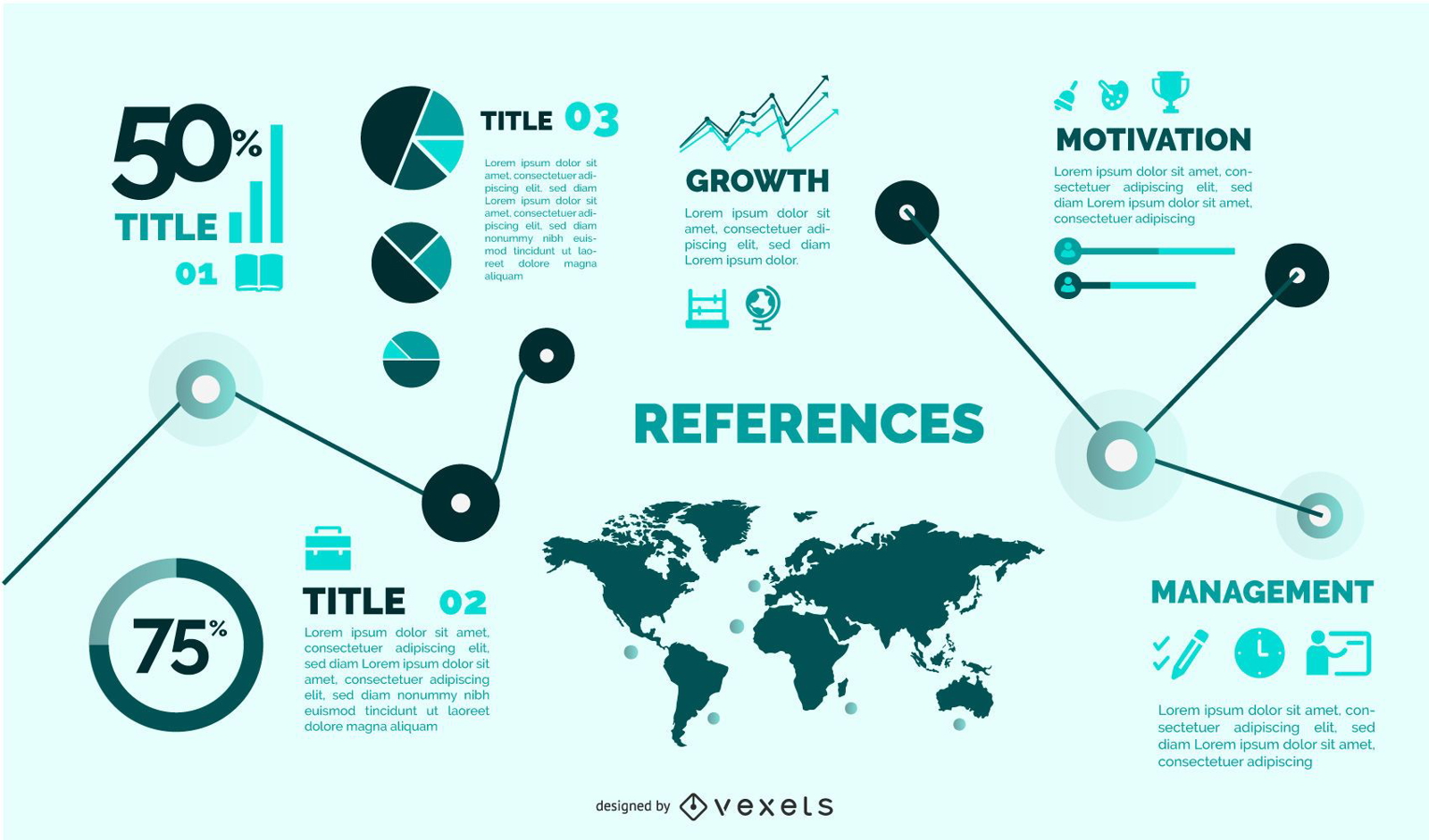
Flat Style Template Infographic Set
Choose a folder
All favorites
Create new
Save
Flat Style Template Infographic Set
Kansas state mandala map stroke PNG Design
Choose a folder
All favorites
Create new
Save
Kansas state mandala map stroke PNG Design
Premium
The state of nebraska PNG Design
Choose a folder
All favorites
Create new
Save
The state of nebraska PNG Design
Conceptual Vintage Paris Icon Pack
Choose a folder
All favorites
Create new
Save
Conceptual Vintage Paris Icon Pack
Premium
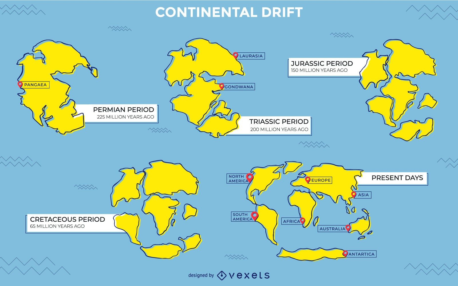
Continental drift illustration design
Choose a folder
All favorites
Create new
Save
Continental drift illustration design
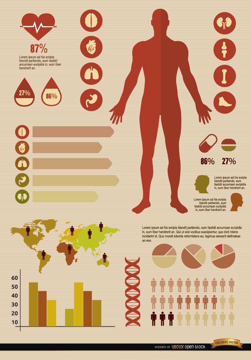
Medical infographics resources
Choose a folder
All favorites
Create new
Save
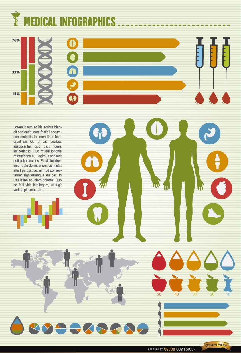
Medical infographics resources
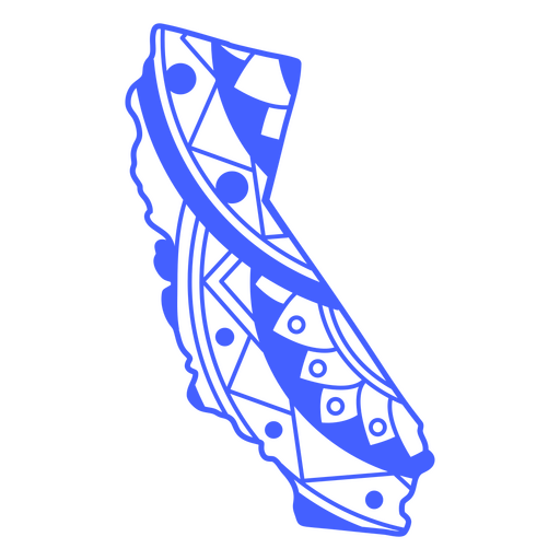
California state mandala map stroke PNG Design
Choose a folder
All favorites
Create new
Save
California state mandala map stroke PNG Design
Business Background with Corporate Peoples
Choose a folder
All favorites
Create new
Save
Business Background with Corporate Peoples
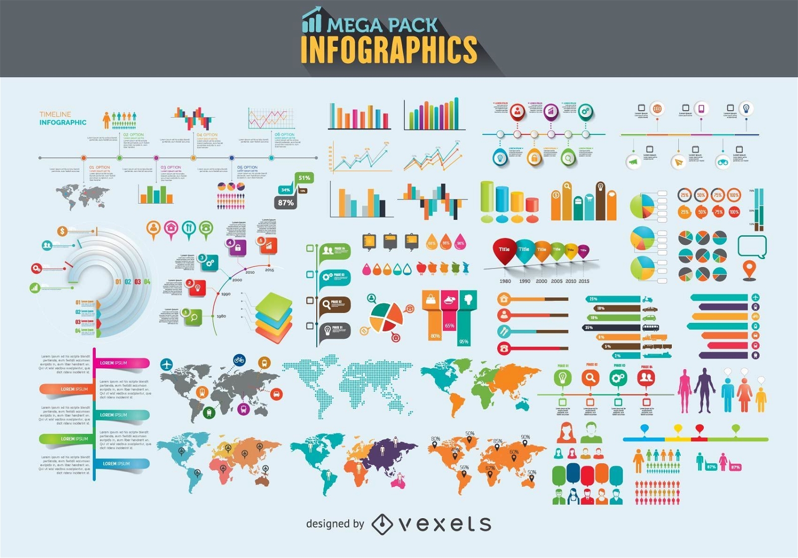
Infographics elements mega pack
Choose a folder
All favorites
Create new
Save
Infographics elements mega pack
Alaska state mandala map element PNG Design
Choose a folder
All favorites
Create new
Save
Alaska state mandala map element PNG Design
Men medical infographics elements
Choose a folder
All favorites
Create new
Save
Men medical infographics elements
Premium
Pirate colorful vector set
Choose a folder
All favorites
Create new
Save
Pirate colorful vector set
Premium
Nautical theme pack
Choose a folder
All favorites
Create new
Save
Nautical theme pack
Santa Claus traveling airport
Choose a folder
All favorites
Create new
Save
Santa Claus traveling airport
Massachusetts state mandala map stroke PNG Design
Choose a folder
All favorites
Create new
Save
Massachusetts state mandala map stroke PNG Design
Premium
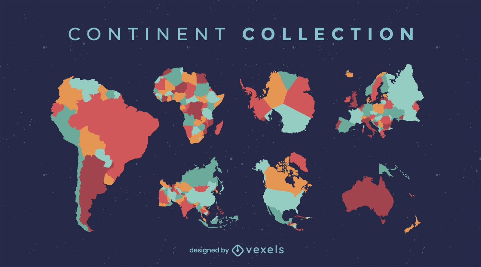
World countries and continents flat set
Choose a folder
All favorites
Create new
Save
World countries and continents flat set
Arizona state mandala map stroke PNG Design
Choose a folder
All favorites
Create new
Save
Arizona state mandala map stroke PNG Design
Map sun flat stroke PNG Design
Choose a folder
All favorites
Create new
Save
Map sun flat stroke PNG Design
Idaho state mandala map PNG Design
Choose a folder
All favorites
Create new
Save
Idaho state mandala map PNG Design
USA flag day background
Choose a folder
All favorites
Create new
Save
USA flag day background
Arkansas state mandala map PNG Design
Choose a folder
All favorites
Create new
Save
Arkansas state mandala map PNG Design
Idaho state mandala map stroke PNG Design
Choose a folder
All favorites
Create new
Save
Idaho state mandala map stroke PNG Design
Illinois state mandala map stroke PNG Design
Choose a folder
All favorites
Create new
Save
Illinois state mandala map stroke PNG Design
2010 south africa wallpaper vector
Choose a folder
All favorites
Create new
Save
2010 south africa wallpaper vector
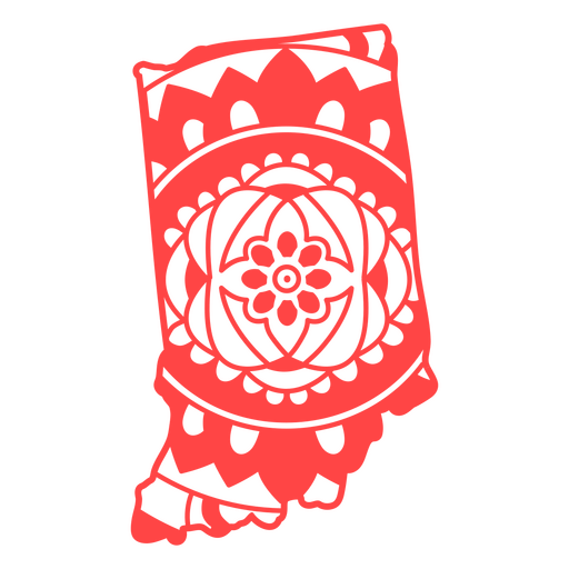
Indiana state mandala map stroke PNG Design
Choose a folder
All favorites
Create new
Save
Indiana state mandala map stroke PNG Design
Michigan state mandala map PNG Design
Choose a folder
All favorites
Create new
Save
Michigan state mandala map PNG Design
Iowa state mandala map PNG Design
Choose a folder
All favorites
Create new
Save
Iowa state mandala map PNG Design
Kentucky state mandala map PNG Design
Choose a folder
All favorites
Create new
Save
Kentucky state mandala map PNG Design
Premium
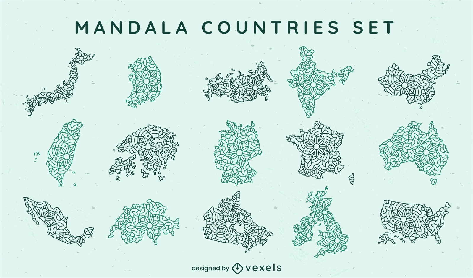
Mandala countries mandala set
Choose a folder
All favorites
Create new
Save
Mandala countries mandala set
Arizona state mandala map PNG Design
Choose a folder
All favorites
Create new
Save
Arizona state mandala map PNG Design
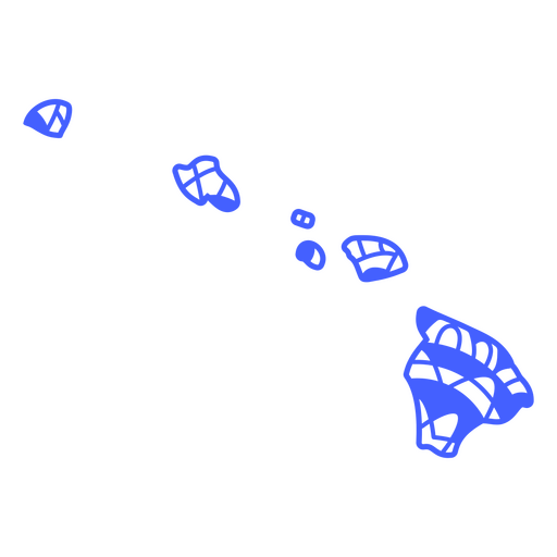
Hawaii state mandala map stroke PNG Design
Choose a folder
All favorites
Create new
Save
Hawaii state mandala map stroke PNG Design
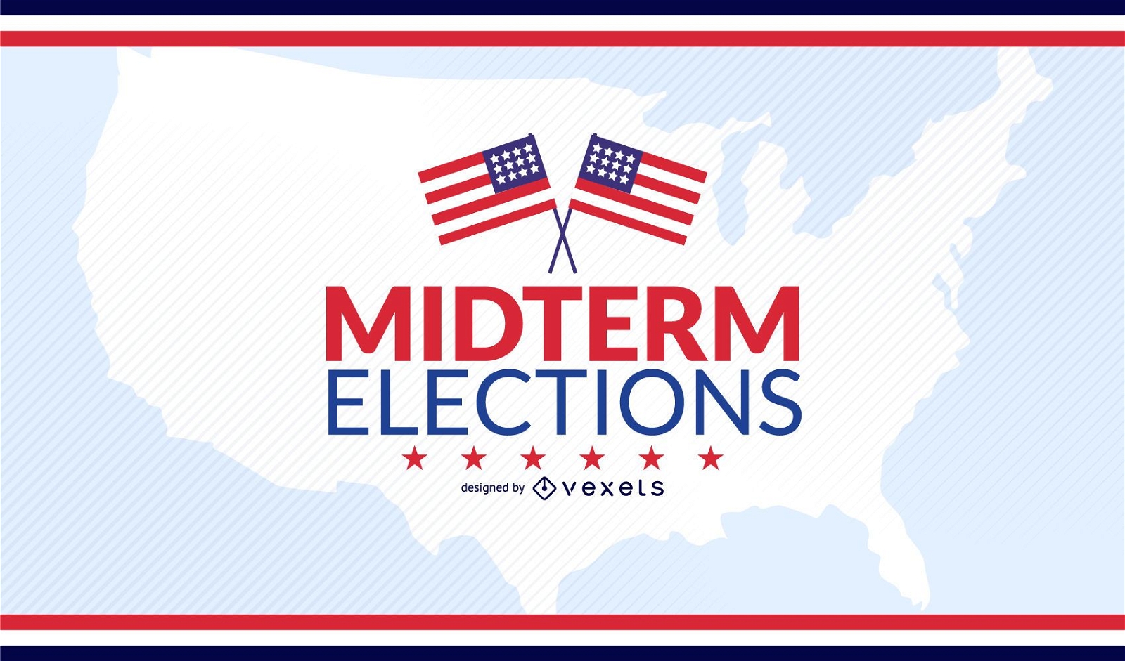
USA midterm elections design
Choose a folder
All favorites
Create new
Save
USA midterm elections design
Subscribe
To Get High-Quality Commercial Use Designs For Your Business
SEE PLANS
Next
of 36
prev page
next page