Design Library
Explore Designs
New Merch Designs
Trending Merch Designs
Vectors
PNGs & SVGs
Mockups
T-Shirts
T-Shirt PSD Templates
KDP Designs
Phone Cases
Pillows
Tote Bags
Posters
Mugs
Design Tools
Designer
New!
T-shirt Maker
Mockup Generator
Quote Generator
Logo Maker
Resources
Merch Digest
Blog
Help Center
Creators Program
Learn About Merch
Changelog
Pricing
Loading...
Sign Up
Login
PNG
map
Design Library
Explore Designs
New Merch Designs
Trending Merch Designs
Vectors
PNGs & SVGs
Mockups
T-Shirts
T-Shirt PSD Templates
KDP Designs
Phone Cases
Pillows
Tote Bags
Posters
Mugs
Design Tools
Designer
New!
T-shirt Maker
Mockup Generator
Quote Generator
Logo Maker
Resources
Merch Digest
Blog
Help Center
Creators Program
Learn About Merch
Changelog
PLANS
PNG
map
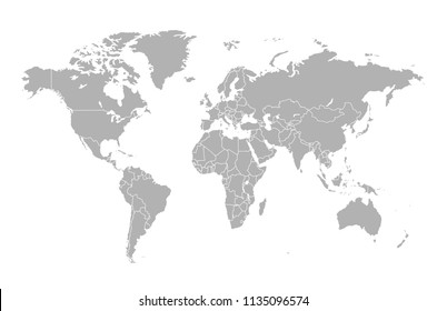
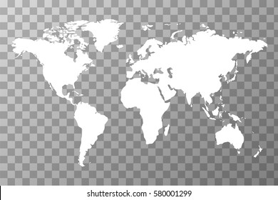
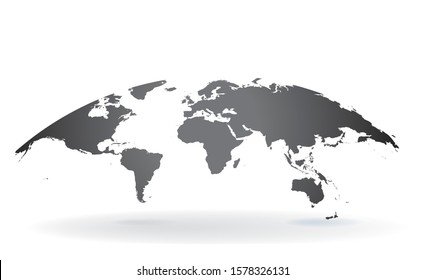
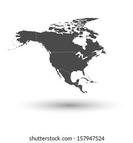
1752 map PNG and SVG Editable Vectors
Download editable map PNG and SVG Vectors with transparent background.
Related:
world map
,
map silhouette
Sort by
Most relevant
Sponsored results by
Get 15% off with code: VEXELS15
Show more
×
We didn't find any
map
PNG, but here's all our
map
designs or
request design here
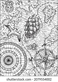
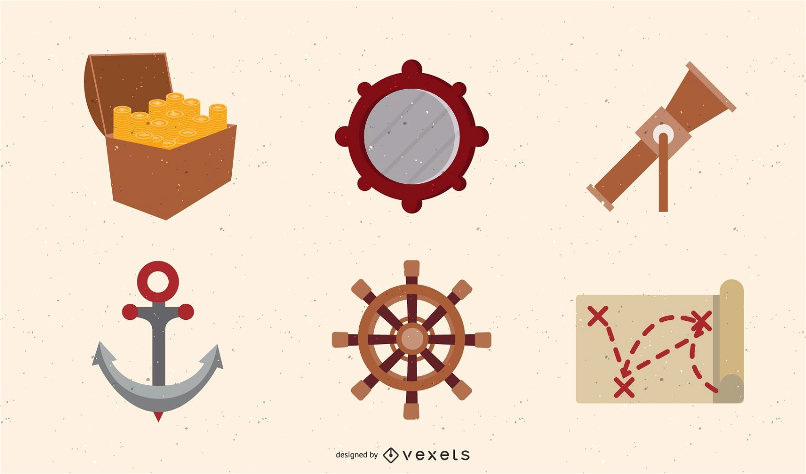
Pirate Treasure Vector Set
Choose a folder
All favorites
Create new
Save
Pirate Treasure Vector Set
Premium
Banner location symbol PNG Design
Choose a folder
All favorites
Create new
Save
Banner location symbol PNG Design
Premium
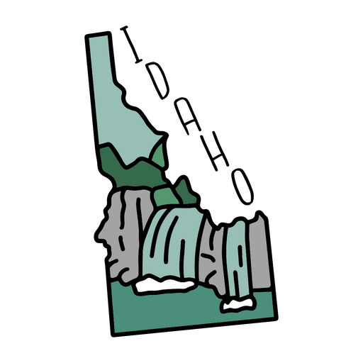
The state of idaho sticker PNG Design
Choose a folder
All favorites
Create new
Save
The state of idaho sticker PNG Design
Filled stroke compass directions from top PNG Design
Choose a folder
All favorites
Create new
Save
Filled stroke compass directions from top PNG Design
Editable text
Premium
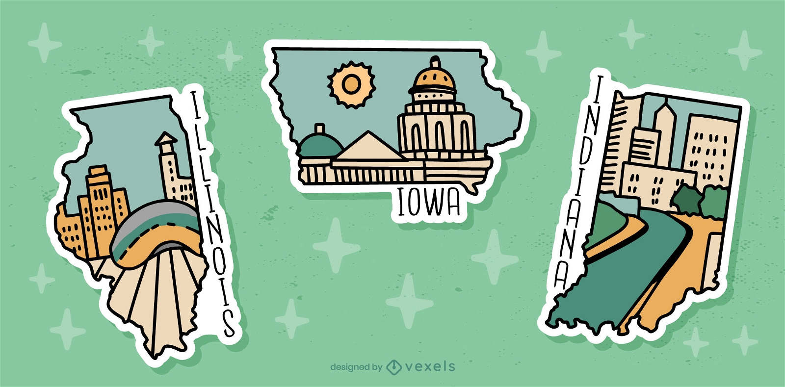
US state sticker set
Choose a folder
All favorites
Create new
Save
US state sticker set
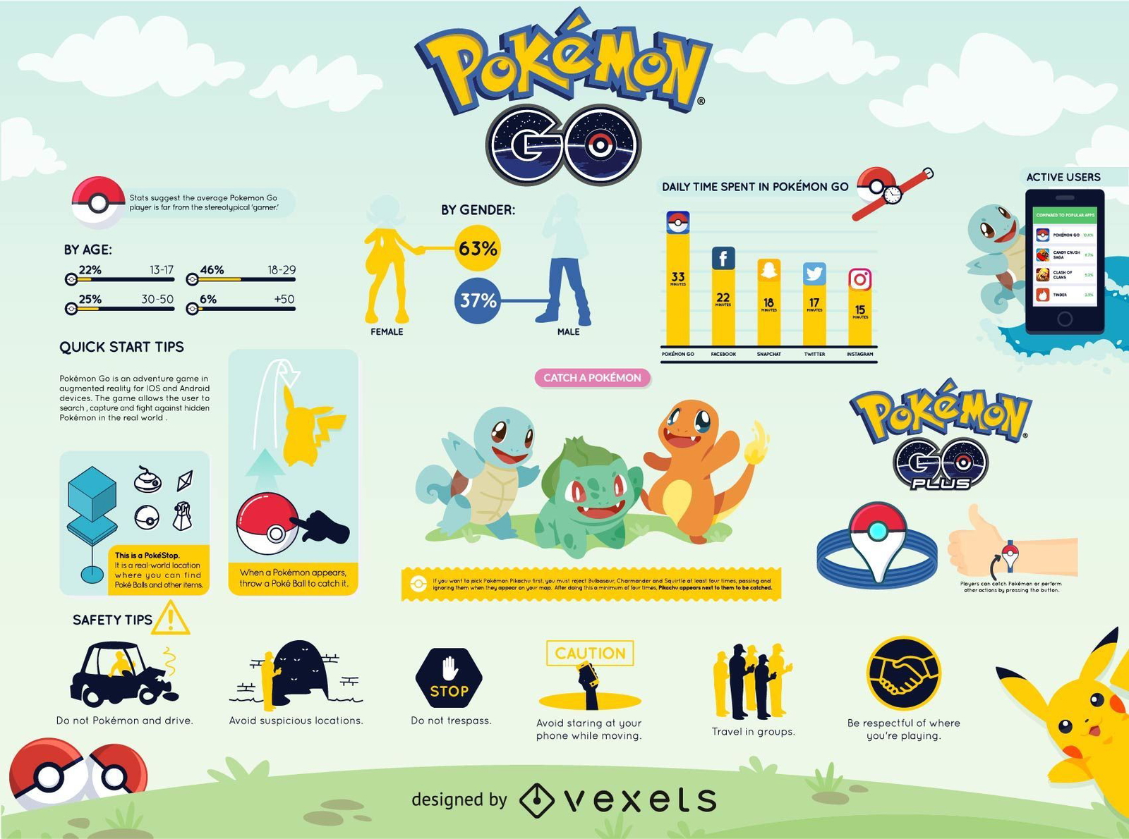
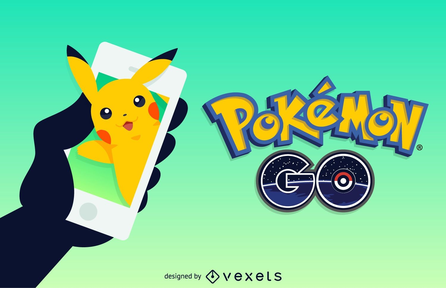
Pokémon GO infographic
Choose a folder
All favorites
Create new
Save
Pokémon GO infographic
Flat travel plane frame background
Choose a folder
All favorites
Create new
Save
Flat travel plane frame background
Canada flag design
Choose a folder
All favorites
Create new
Save
Canada flag design
Premium
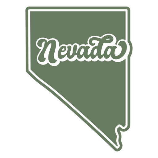
The state of nevada on a green background PNG Design
Choose a folder
All favorites
Create new
Save
The state of nevada on a green background PNG Design
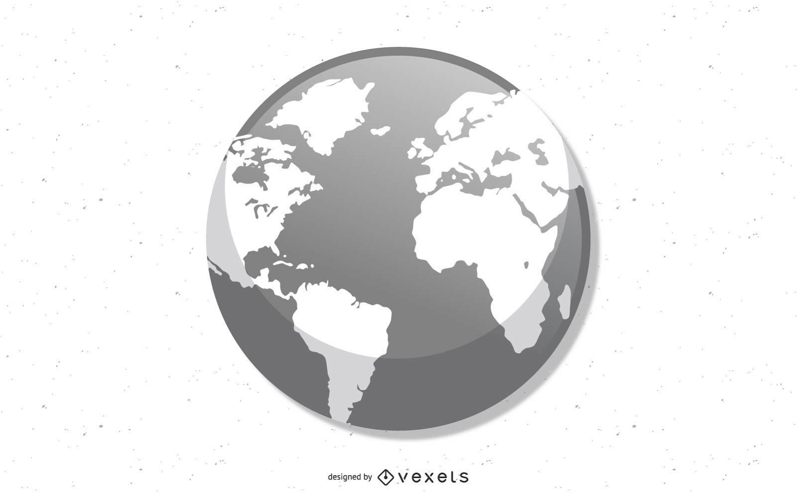
Earth Globe Icons Set
Choose a folder
All favorites
Create new
Save
Earth Globe Icons Set
Hand drawn globe icon PNG Design
Choose a folder
All favorites
Create new
Save
Hand drawn globe icon PNG Design
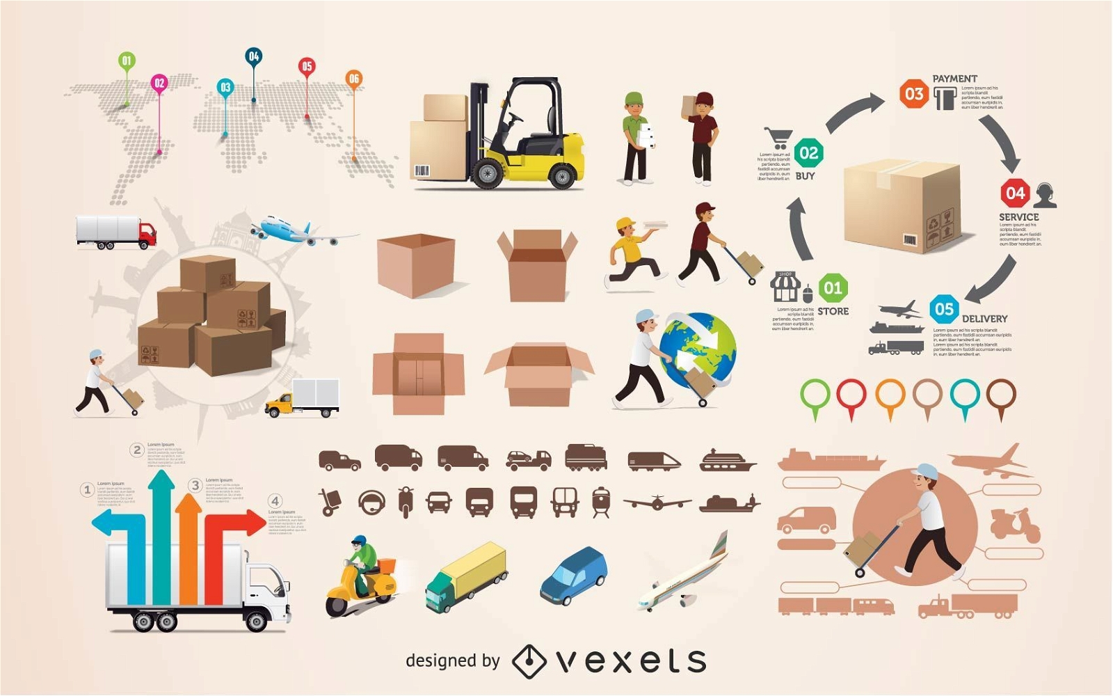
Logistics infographic elements
Choose a folder
All favorites
Create new
Save
Logistics infographic elements
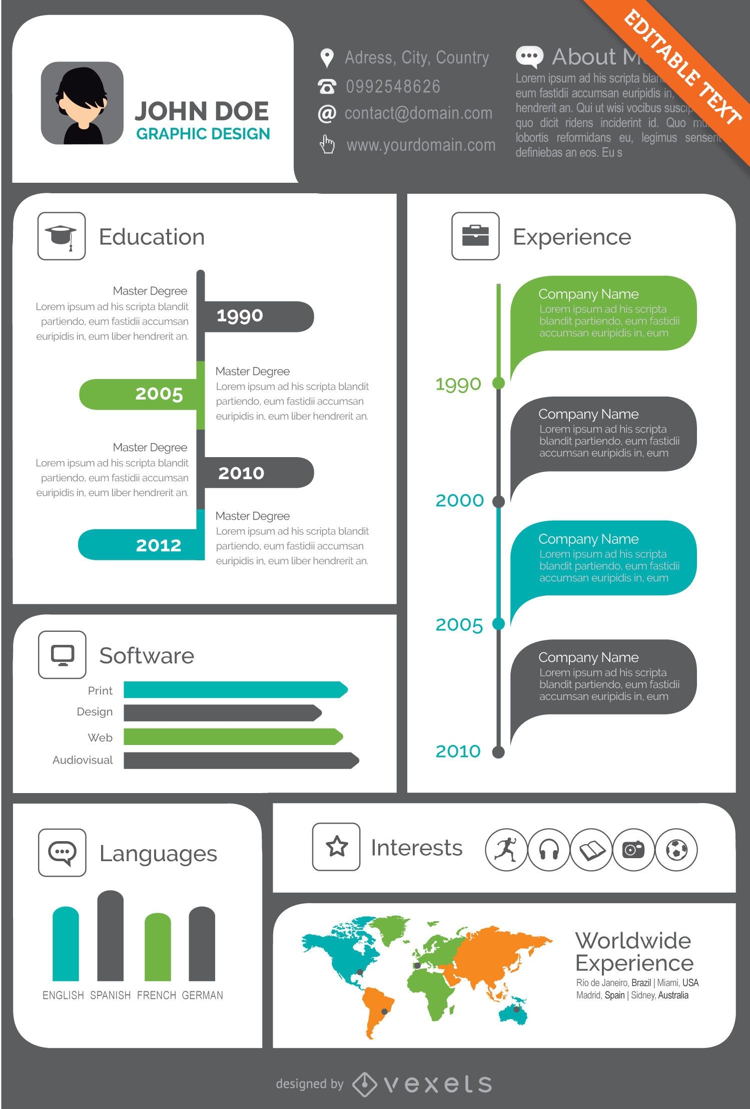
Creative Visual resume CV
Choose a folder
All favorites
Create new
Save
Creative Visual resume CV
Premium
Pink and white globe PNG Design
Choose a folder
All favorites
Create new
Save
Pink and white globe PNG Design
Premium
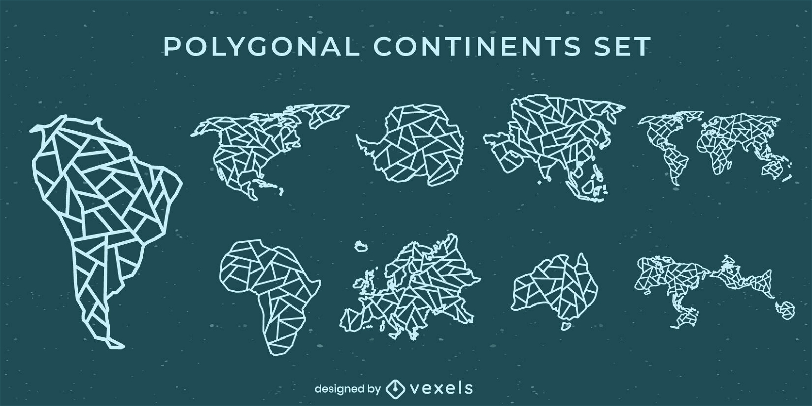
Cool polygonal continents set
Choose a folder
All favorites
Create new
Save
Cool polygonal continents set
Premium
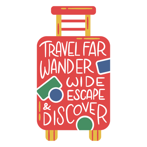
Travel far wander wide escape suitcase PNG Design
Choose a folder
All favorites
Create new
Save
Travel far wander wide escape suitcase PNG Design
Premium
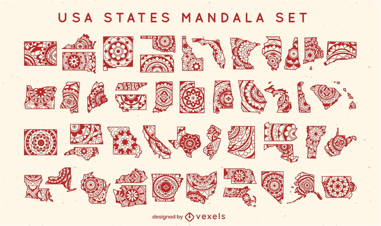
States of the US mandala set
Choose a folder
All favorites
Create new
Save
States of the US mandala set
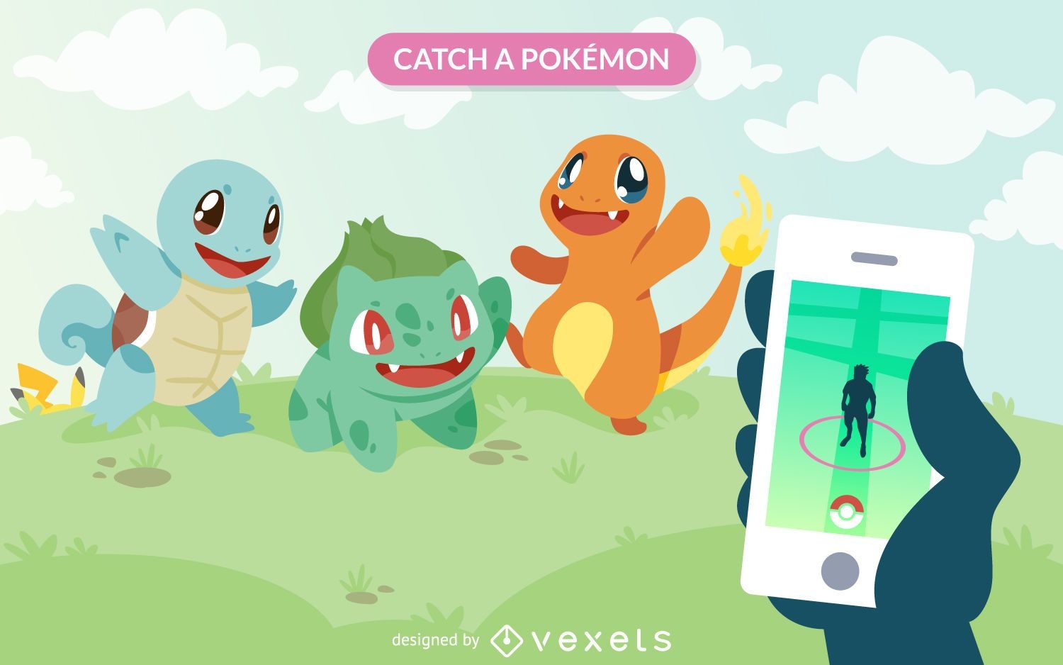
Pokémon GO illustration
Choose a folder
All favorites
Create new
Save
Pokémon GO illustration
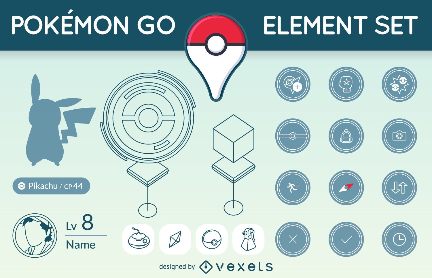
Pokémon GO element set
Choose a folder
All favorites
Create new
Save
Pokémon GO element set
Social media icon set
Choose a folder
All favorites
Create new
Save
Social media icon set
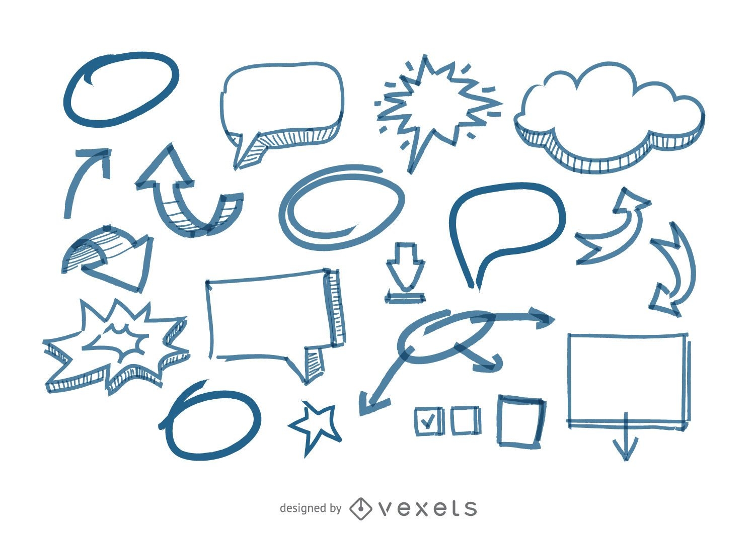
Speech Bubbles and arrows doodles
Choose a folder
All favorites
Create new
Save
Speech Bubbles and arrows doodles
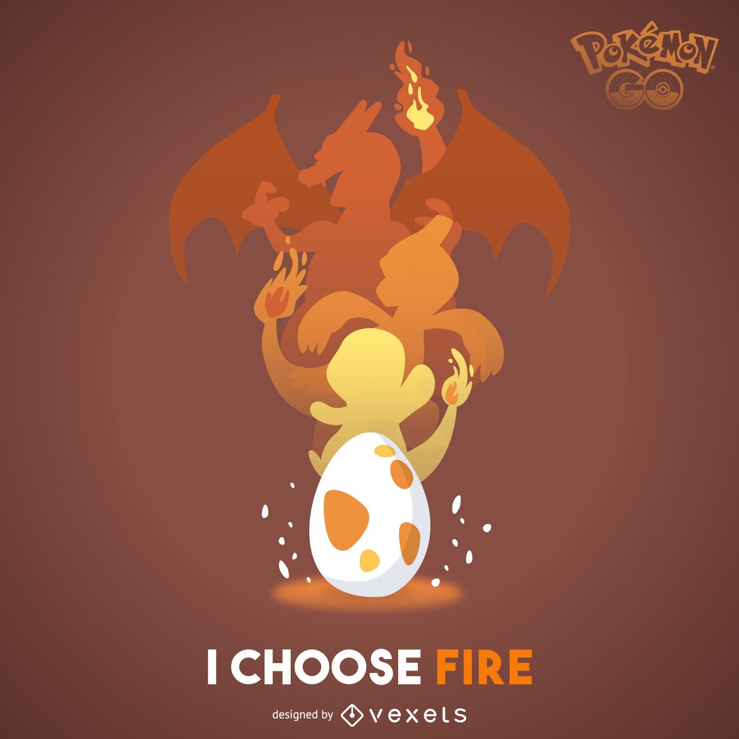
Fire Pokémon poster
Choose a folder
All favorites
Create new
Save
Fire Pokémon poster
Premium
Solar system cut out design PNG Design
Choose a folder
All favorites
Create new
Save
Solar system cut out design PNG Design
Premium
Starry pattern design PNG Design
Choose a folder
All favorites
Create new
Save
Starry pattern design PNG Design
Brazil landmark flag PNG Design
Choose a folder
All favorites
Create new
Save
Brazil landmark flag PNG Design
United kingdom and London elements
Choose a folder
All favorites
Create new
Save
United kingdom and London elements
Editable text
Print ready
Premium
Anxiety countries coloring book cover design
Choose a folder
All favorites
Create new
Save
Anxiety countries coloring book cover design
Medical element set
Choose a folder
All favorites
Create new
Save
Medical element set
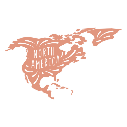
North America continent silhouette PNG Design
Choose a folder
All favorites
Create new
Save
North America continent silhouette PNG Design
Premium
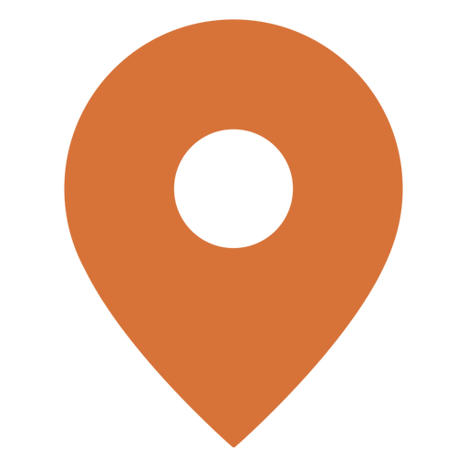
Location pin colored stroke icon PNG Design
Choose a folder
All favorites
Create new
Save
Location pin colored stroke icon PNG Design
Vector globe - earth
Choose a folder
All favorites
Create new
Save
Vector globe - earth
Vector Info Pointer Icon
Choose a folder
All favorites
Create new
Save
Vector Info Pointer Icon
Location icon isometric PNG Design
Choose a folder
All favorites
Create new
Save
Location icon isometric PNG Design
Pokémon GO
Choose a folder
All favorites
Create new
Save
Pokémon GO
Premium
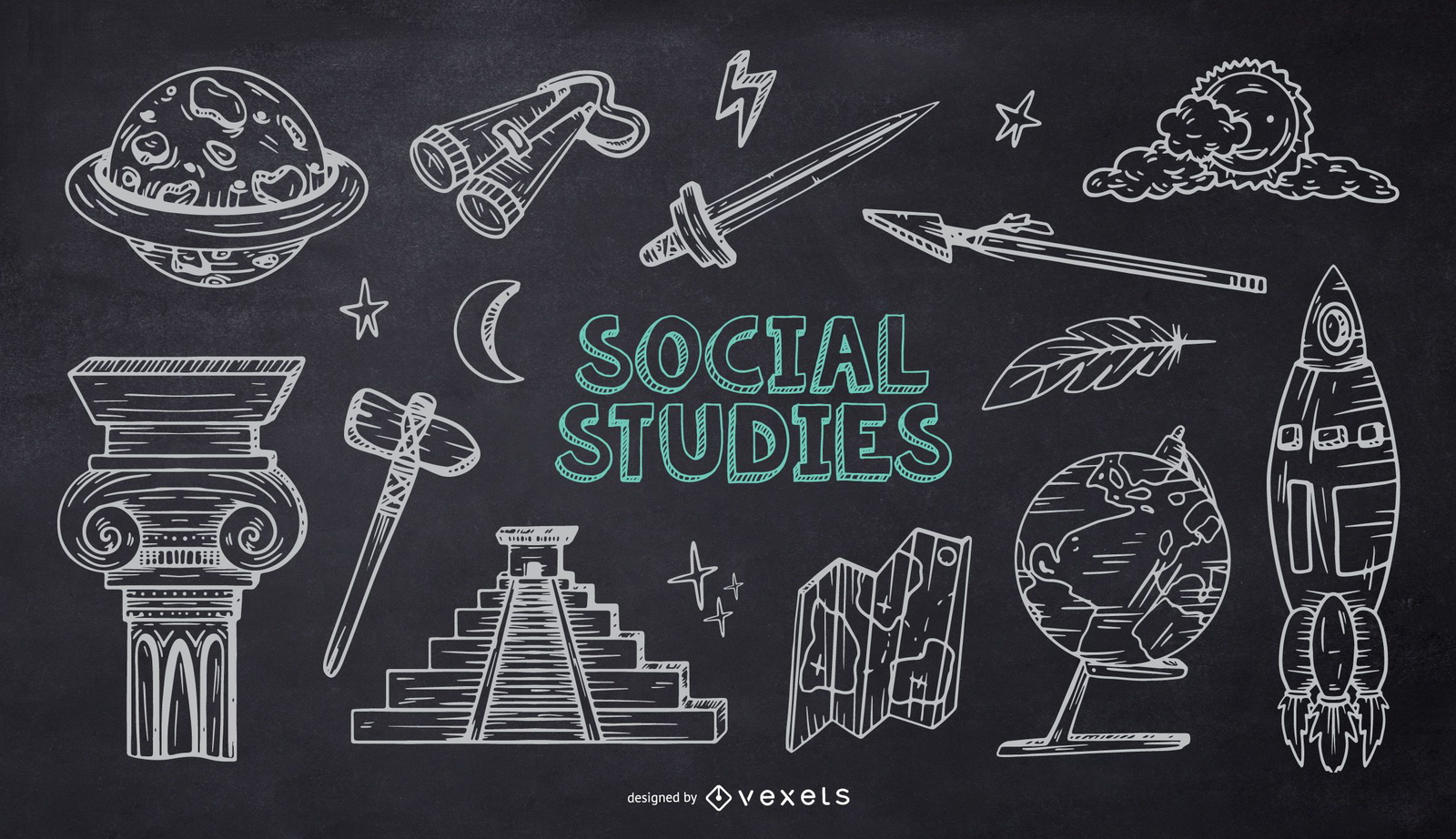
Social Studies School Chalk Doodle Pack
Choose a folder
All favorites
Create new
Save
Social Studies School Chalk Doodle Pack
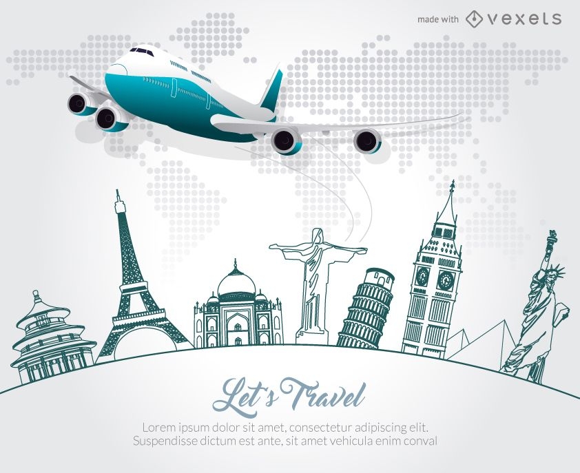
Travel airplane skyline promotion
Choose a folder
All favorites
Create new
Save
Travel airplane skyline promotion
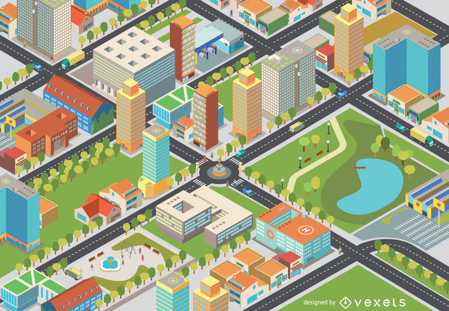
Isometric cityscape - Easy Edit
Choose a folder
All favorites
Create new
Save
Isometric cityscape - Easy Edit
Premium
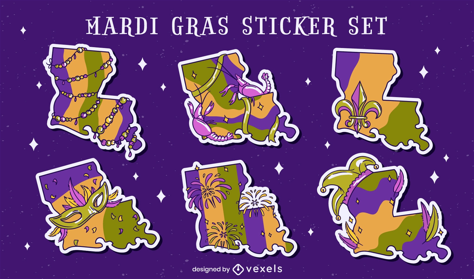
Louisiana state Mardi Gras set
Choose a folder
All favorites
Create new
Save
Louisiana state Mardi Gras set
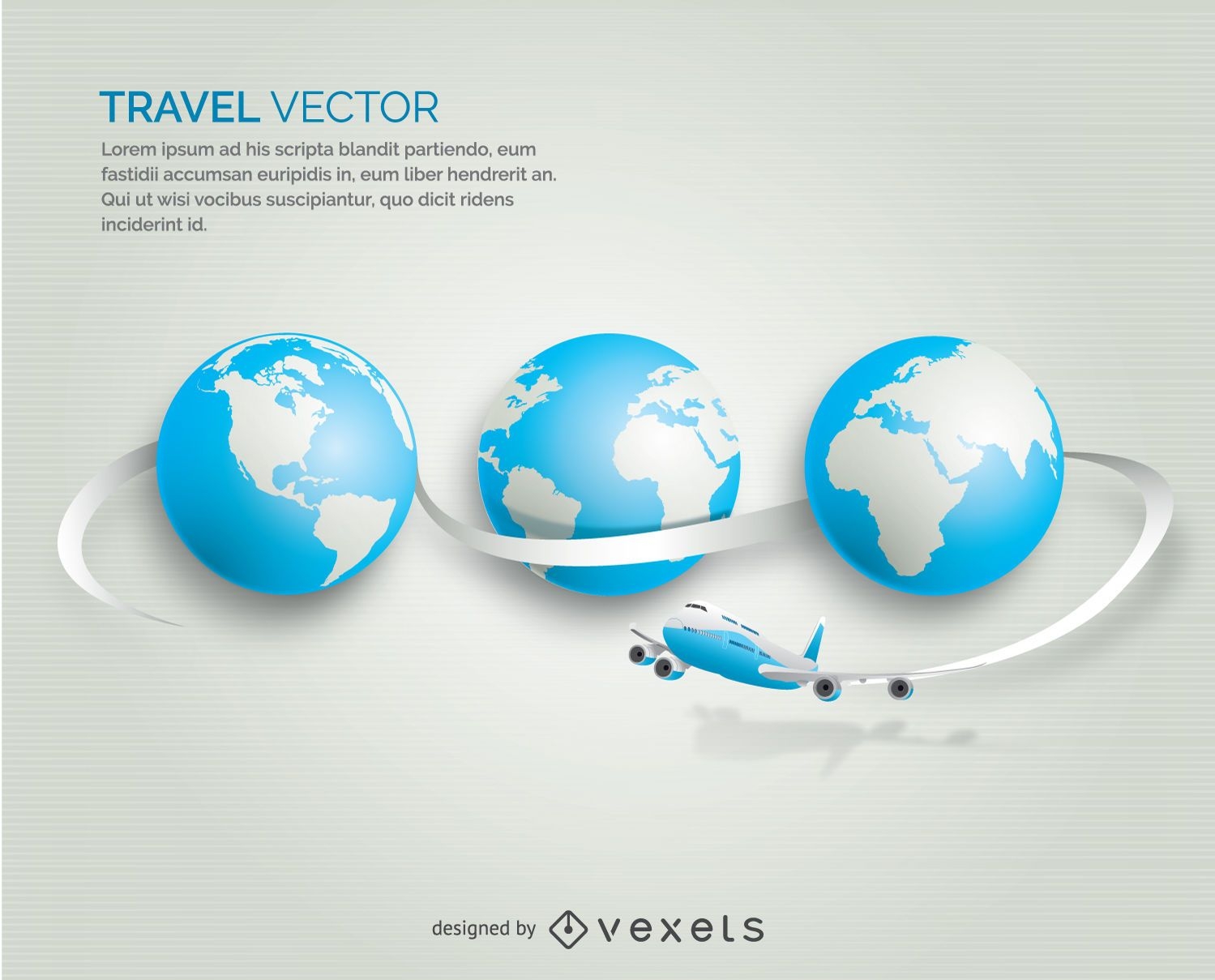
Airplane traveling globe
Choose a folder
All favorites
Create new
Save
Airplane traveling globe
Premium
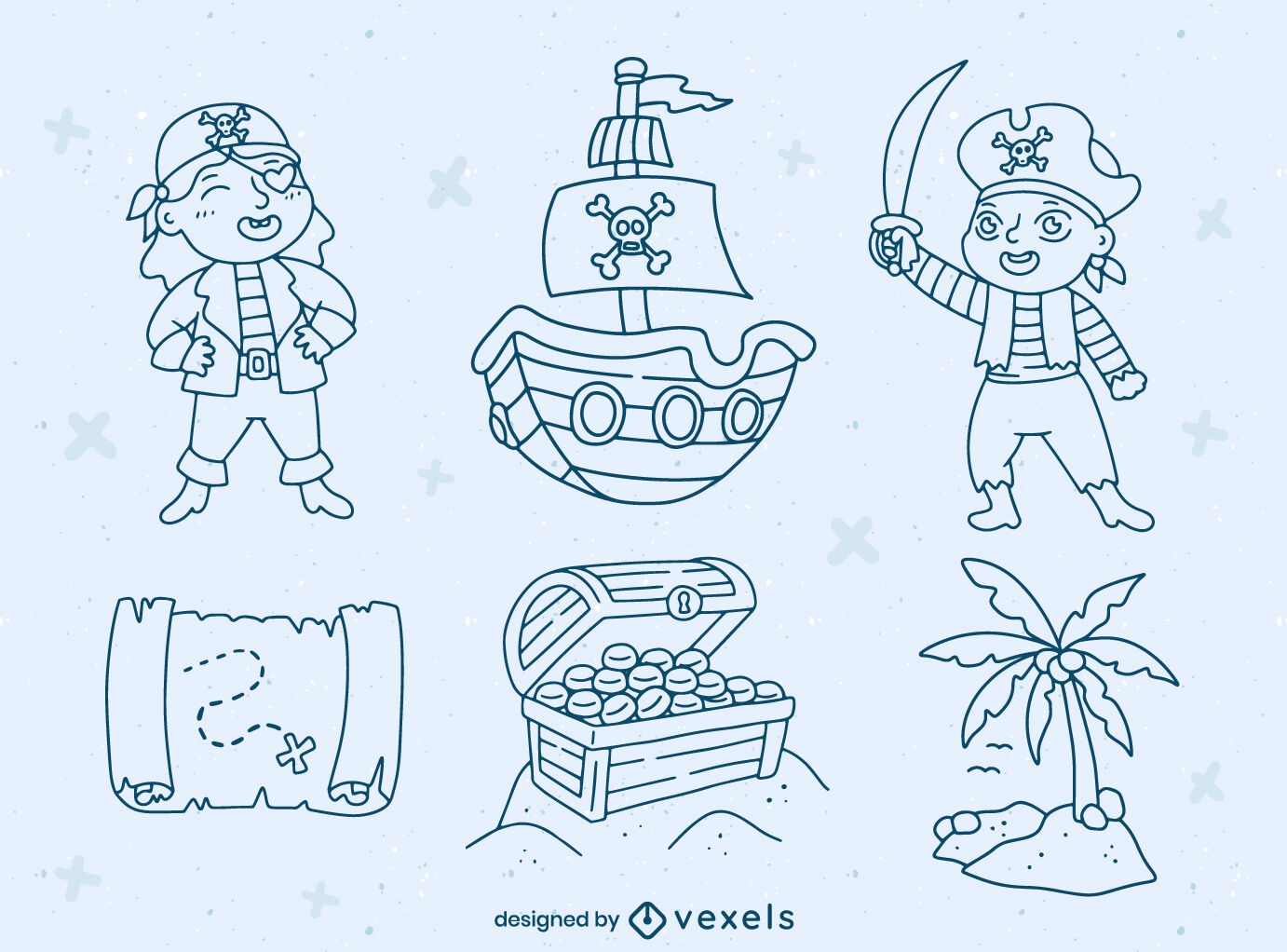
Pirate kids characters and elements set
Choose a folder
All favorites
Create new
Save
Pirate kids characters and elements set
Premium
Globe rings bicycle PNG Design
Choose a folder
All favorites
Create new
Save
Globe rings bicycle PNG Design
Multimedia social web circle icons set
Choose a folder
All favorites
Create new
Save
Multimedia social web circle icons set
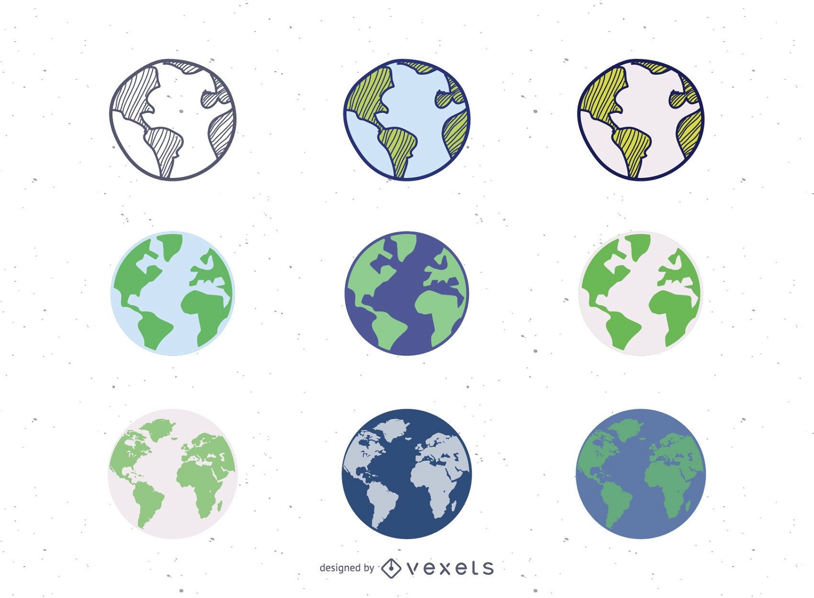
9 Vector Globes Set
Choose a folder
All favorites
Create new
Save
9 Vector Globes Set
Premium
Globe bulb icon 3 PNG Design
Choose a folder
All favorites
Create new
Save
Globe bulb icon 3 PNG Design
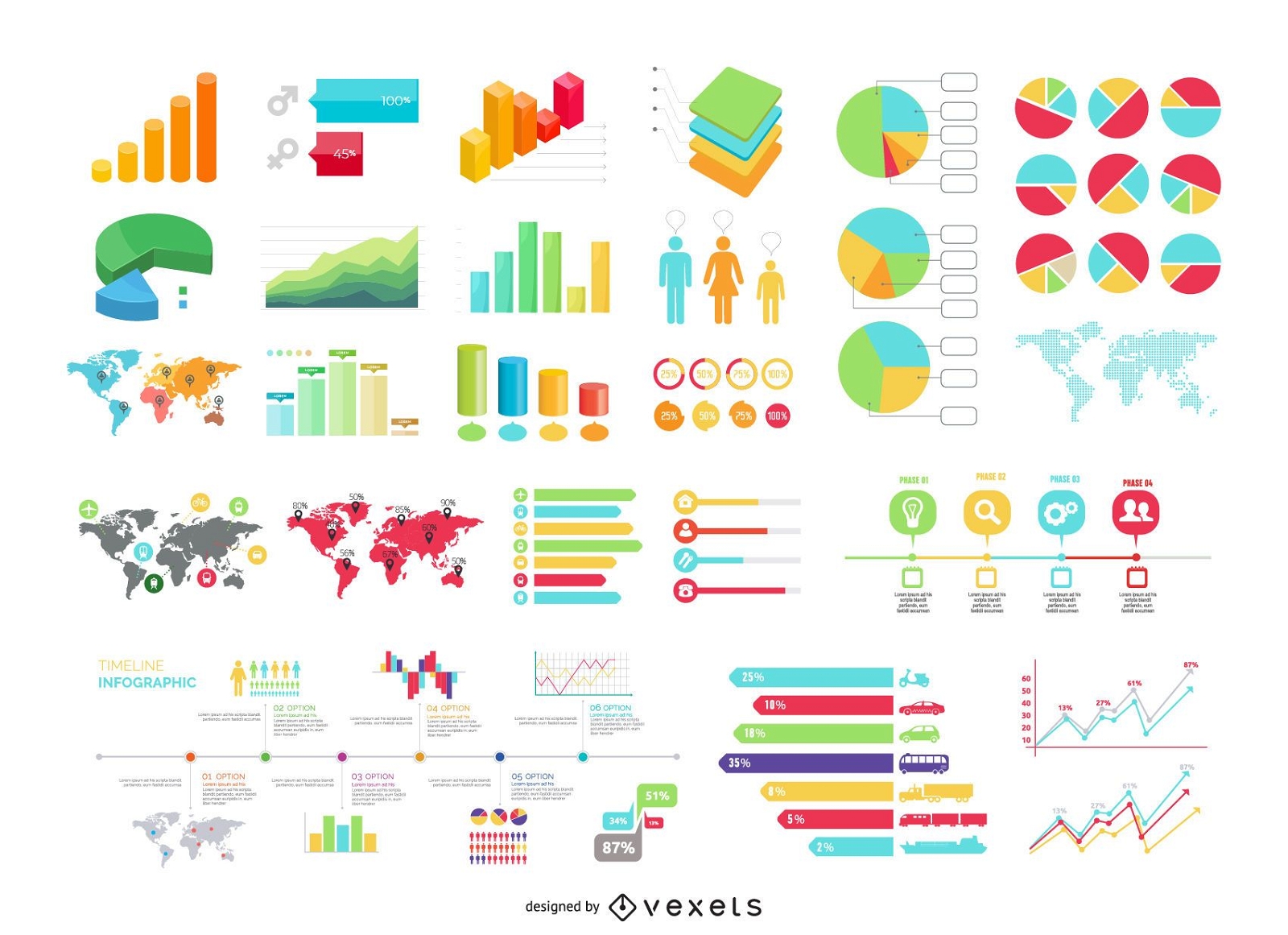
30 Plus Info Graphic Set with Maps and Statistics
Choose a folder
All favorites
Create new
Save
30 Plus Info Graphic Set with Maps and Statistics
Frontal compass with ribbon PNG Design
Choose a folder
All favorites
Create new
Save
Frontal compass with ribbon PNG Design
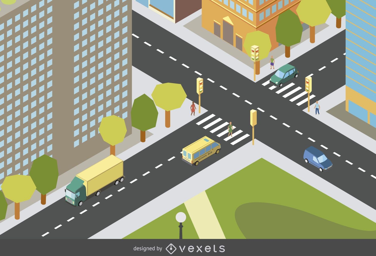
Isometric city design
Choose a folder
All favorites
Create new
Save
Isometric city design
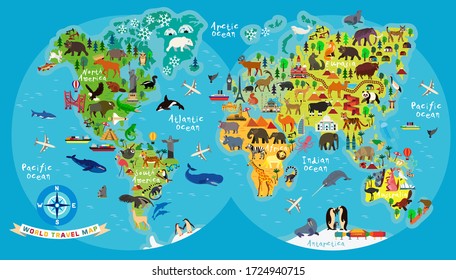
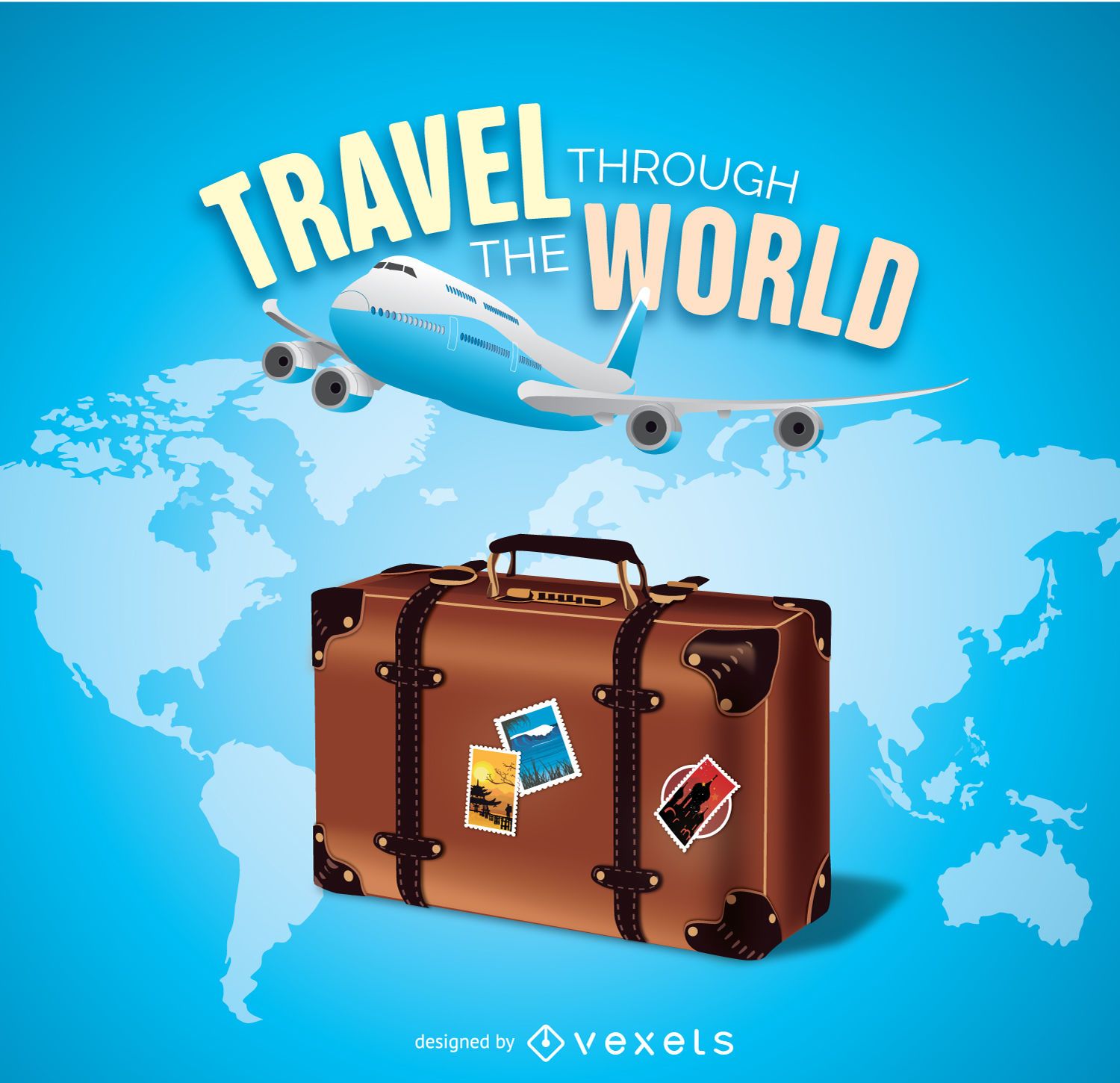
Travel the world
Choose a folder
All favorites
Create new
Save
Travel the world
Heart love quote cut out PNG Design
Choose a folder
All favorites
Create new
Save
Heart love quote cut out PNG Design
Premium
Location pointer circle icon PNG Design
Choose a folder
All favorites
Create new
Save
Location pointer circle icon PNG Design
Subscribe
To Get High-Quality Commercial Use Designs For Your Business
SEE PLANS
Next
of 36
prev page
next page