Design Library
Explore Designs
New Merch Designs
Trending Merch Designs
Vectors
PNGs & SVGs
Mockups
T-Shirts
T-Shirt PSD Templates
KDP Designs
Phone Cases
Pillows
Tote Bags
Posters
Mugs
Design Tools
Designer
New!
T-shirt Maker
Mockup Generator
Quote Generator
Logo Maker
Resources
Merch Digest
Blog
Help Center
Creators Program
Learn About Merch
Changelog
Pricing
Loading...
Sign Up
Login
PNG
map
Design Library
Explore Designs
New Merch Designs
Trending Merch Designs
Vectors
PNGs & SVGs
Mockups
T-Shirts
T-Shirt PSD Templates
KDP Designs
Phone Cases
Pillows
Tote Bags
Posters
Mugs
Design Tools
Designer
New!
T-shirt Maker
Mockup Generator
Quote Generator
Logo Maker
Resources
Merch Digest
Blog
Help Center
Creators Program
Learn About Merch
Changelog
PLANS
PNG
map
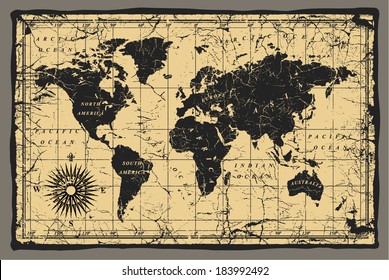
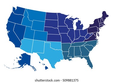
1752 map PNG and SVG Editable Vectors
Download editable map PNG and SVG Vectors with transparent background.
Related:
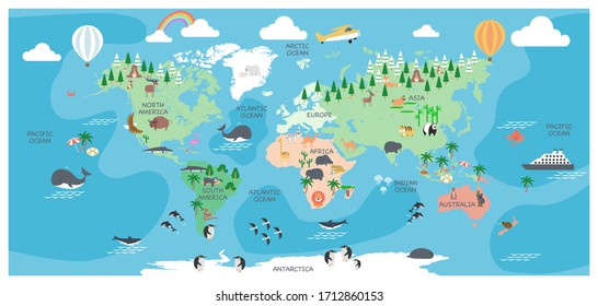
world map
,
map silhouette
Sort by
Most relevant
Sponsored results by
Get 15% off with code: VEXELS15
Show more
×
We didn't find any
map
PNG, but here's all our
map
designs or
request design here
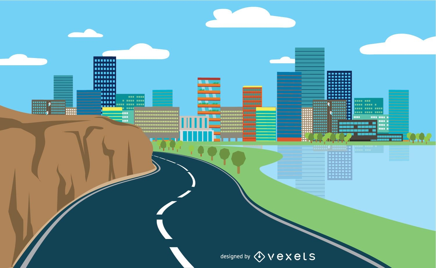
Highway cityscape flat style
Choose a folder
All favorites
Create new
Save
Highway cityscape flat style
Flat filled stroke compass PNG Design
Choose a folder
All favorites
Create new
Save
Flat filled stroke compass PNG Design
Earth environment logo template
Choose a folder
All favorites
Create new
Save
Earth environment logo template
Premium
Recharge globe PNG Design
Choose a folder
All favorites
Create new
Save
Recharge globe PNG Design
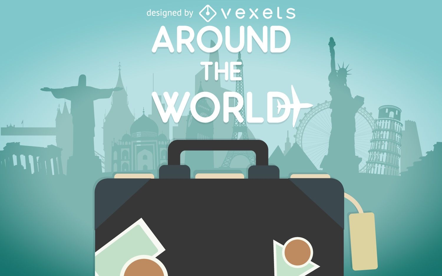
Travel design creator
Choose a folder
All favorites
Create new
Save
Travel design creator
Premium
World travel transportation globe PNG Design
Choose a folder
All favorites
Create new
Save
World travel transportation globe PNG Design
Water day globe icon PNG Design
Choose a folder
All favorites
Create new
Save
Water day globe icon PNG Design
Social media icons collection
Choose a folder
All favorites
Create new
Save
Social media icons collection
Premium
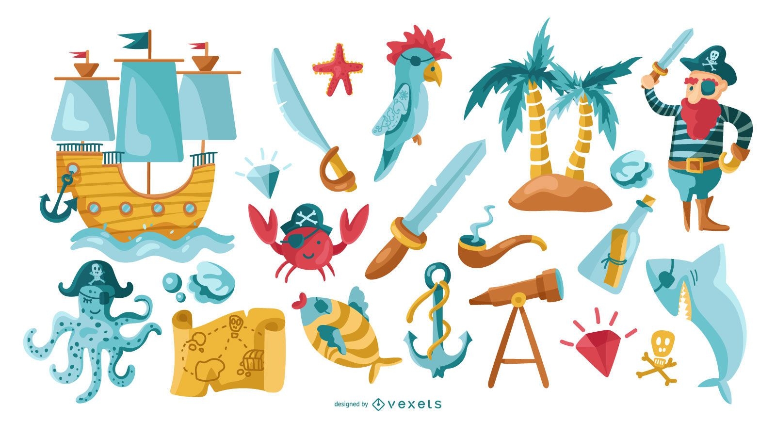
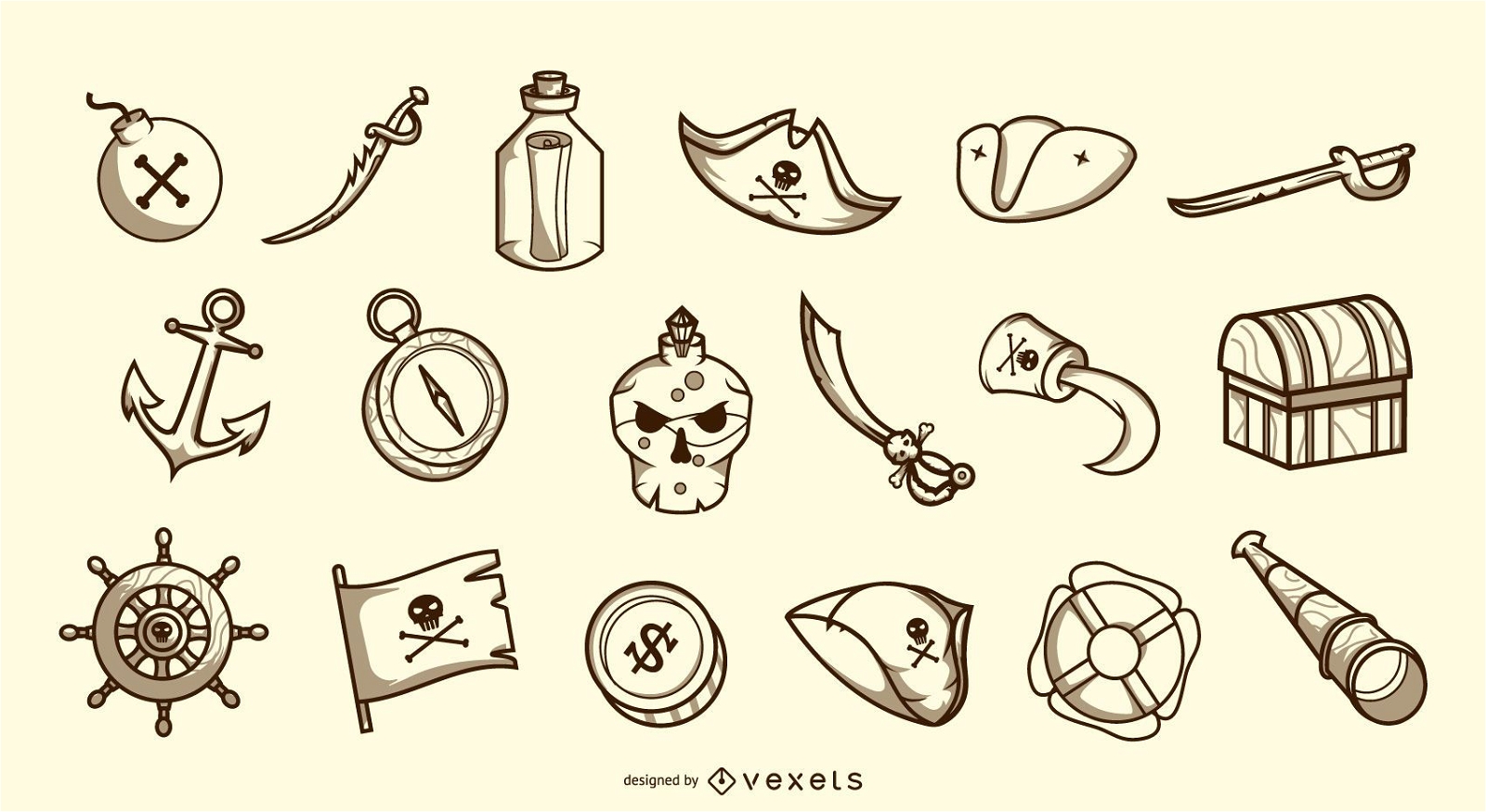
Pirate elements collection
Choose a folder
All favorites
Create new
Save
Pirate elements collection
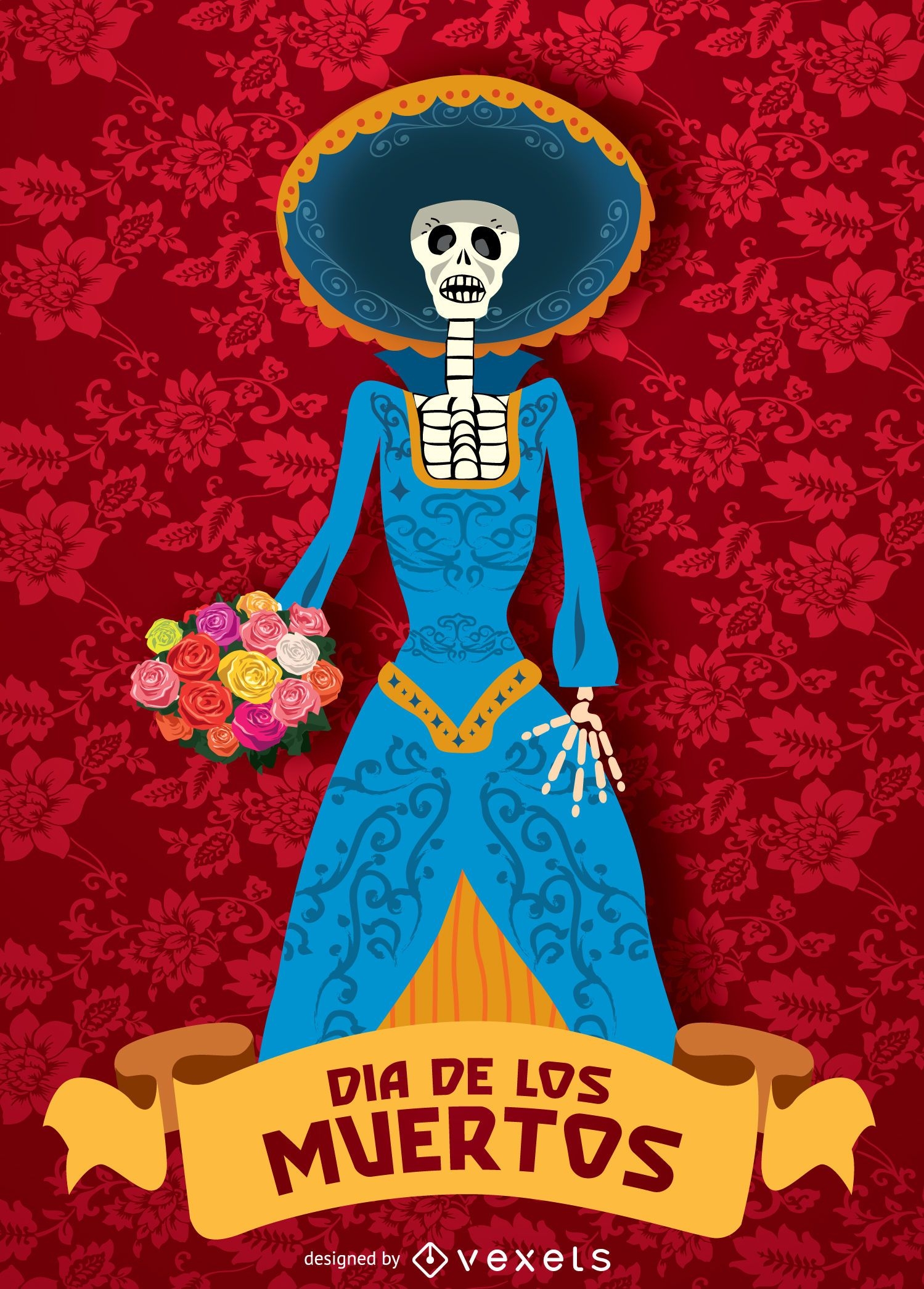
Day of dead - Dia de los muertos Catrina
Choose a folder
All favorites
Create new
Save
Day of dead - Dia de los muertos Catrina
Premium
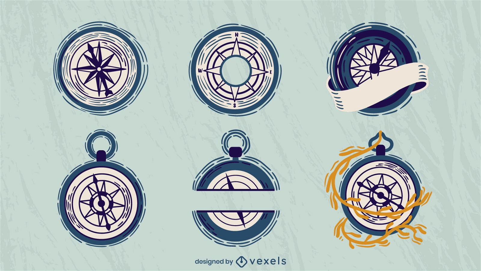
Sailing compasses set flat
Choose a folder
All favorites
Create new
Save
Sailing compasses set flat
Premium
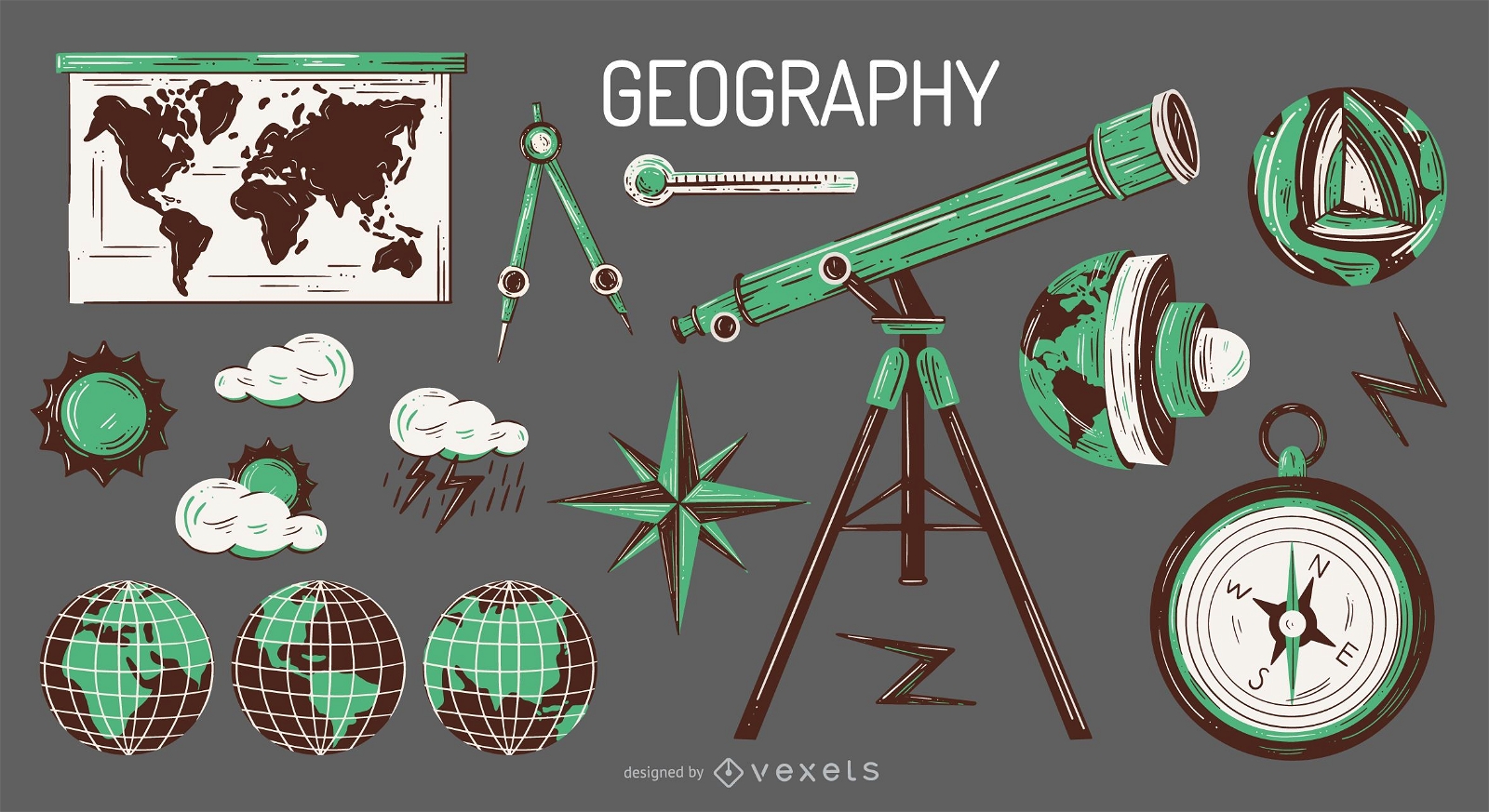
Geography elements illustration set
Choose a folder
All favorites
Create new
Save
Geography elements illustration set
America badge cut out PNG Design
Choose a folder
All favorites
Create new
Save
America badge cut out PNG Design
Stroke travel icons set
Choose a folder
All favorites
Create new
Save
Stroke travel icons set
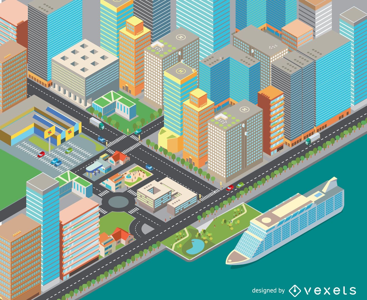
Isometric cost cityscape
Choose a folder
All favorites
Create new
Save
Isometric cost cityscape
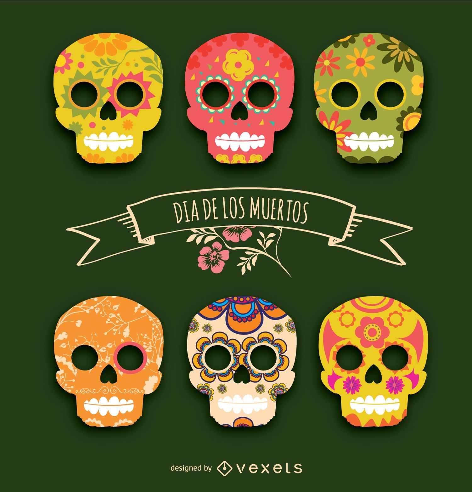
Day of the dead - Día de los muertos
Choose a folder
All favorites
Create new
Save
Day of the dead - Día de los muertos
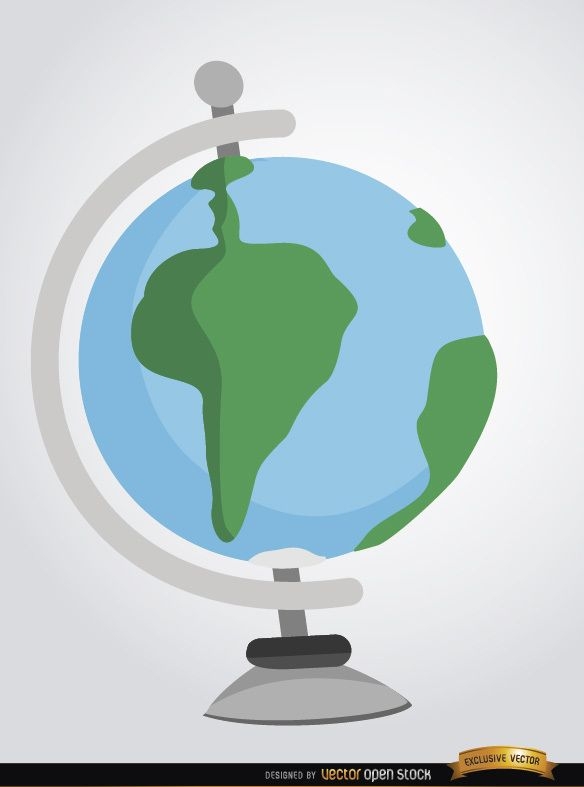
Desktop earth globe cartoon
Choose a folder
All favorites
Create new
Save
Desktop earth globe cartoon
Premium
Pirate elements duotone collection
Choose a folder
All favorites
Create new
Save
Pirate elements duotone collection
Premium
Geography globe stroke school icon PNG Design
Choose a folder
All favorites
Create new
Save
Geography globe stroke school icon PNG Design
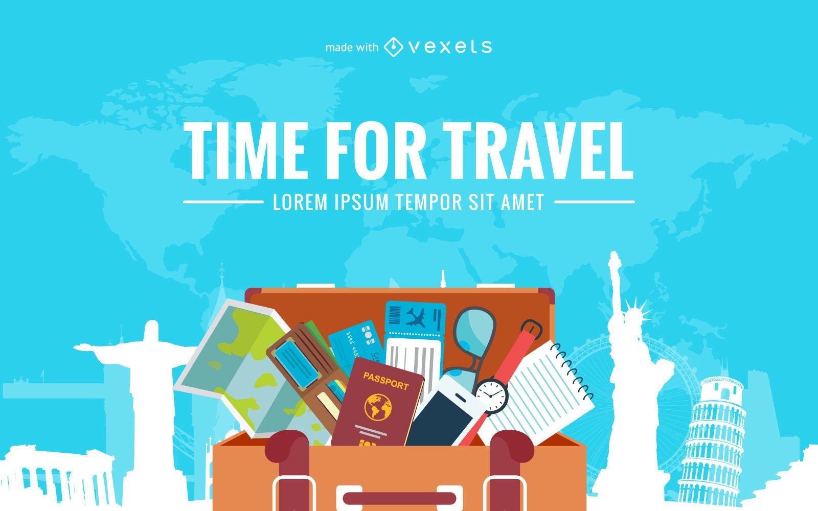
Flat travel luggage illustration
Choose a folder
All favorites
Create new
Save
Flat travel luggage illustration
Premium
Bridge above the river line art PNG Design
Choose a folder
All favorites
Create new
Save
Bridge above the river line art PNG Design
'Merica badge cut out PNG Design
Choose a folder
All favorites
Create new
Save
'Merica badge cut out PNG Design
Road stroke icon PNG Design
Choose a folder
All favorites
Create new
Save
Road stroke icon PNG Design
Travel Icon Pack
Choose a folder
All favorites
Create new
Save
Travel Icon Pack
Business deal hand shake
Choose a folder
All favorites
Create new
Save
Business deal hand shake
Delaware state color stroke PNG Design
Choose a folder
All favorites
Create new
Save
Delaware state color stroke PNG Design
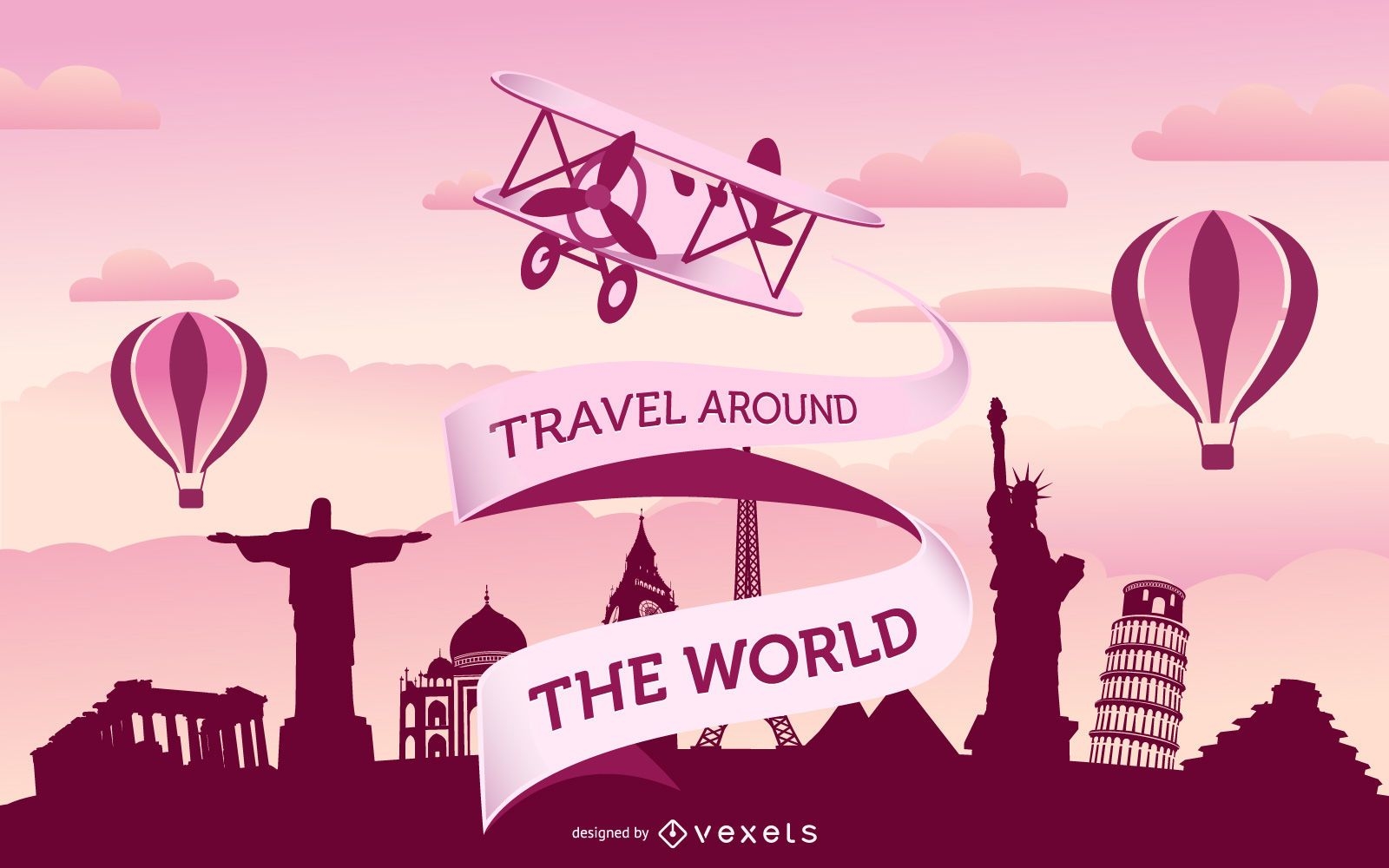
Vintage travel world
Choose a folder
All favorites
Create new
Save
Vintage travel world
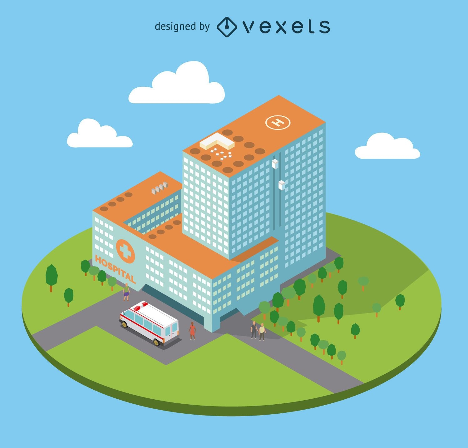
Flat isometric hospital
Choose a folder
All favorites
Create new
Save
Flat isometric hospital
Premium
Arrow on globe PNG Design
Choose a folder
All favorites
Create new
Save
Arrow on globe PNG Design
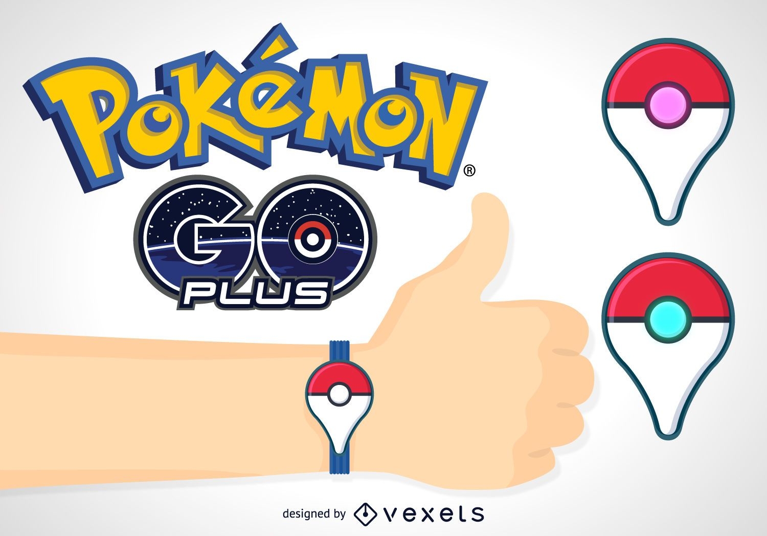
Pokémon GO plus banner
Choose a folder
All favorites
Create new
Save
Pokémon GO plus banner
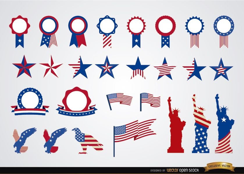
USA round ribbons and decoration set
Choose a folder
All favorites
Create new
Save
USA round ribbons and decoration set
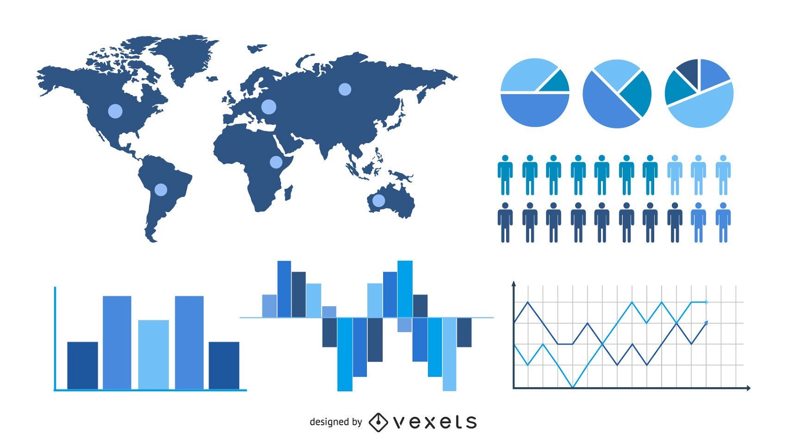
Statistic & Analytical Infographic Set
Choose a folder
All favorites
Create new
Save
Statistic & Analytical Infographic Set
Premium
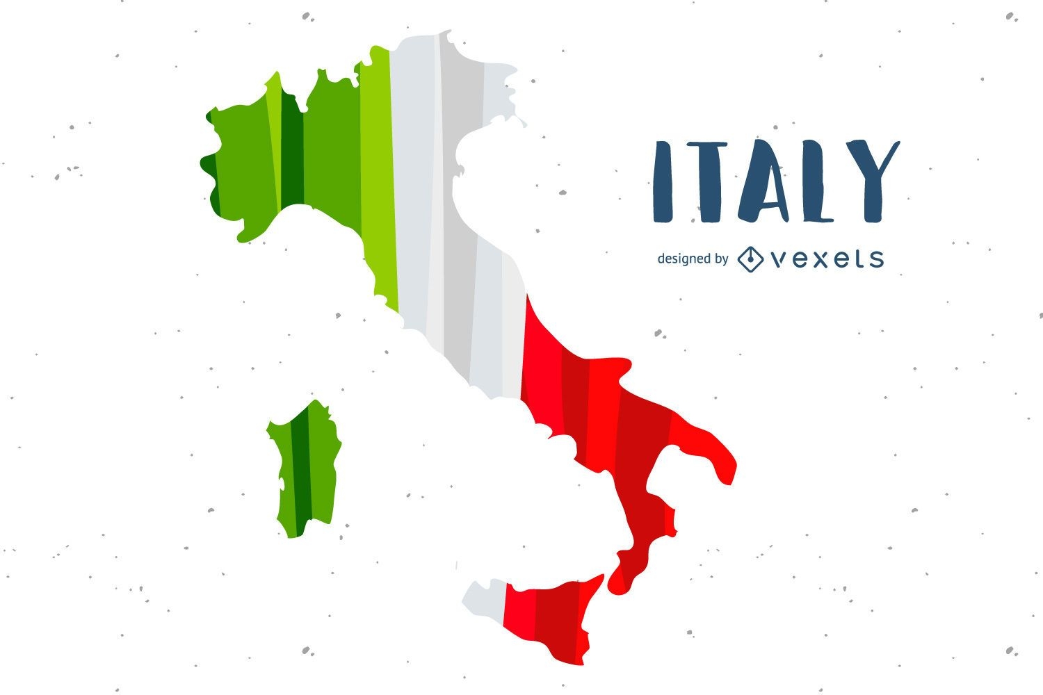
Italy Flag Country Design
Choose a folder
All favorites
Create new
Save
Italy Flag Country Design
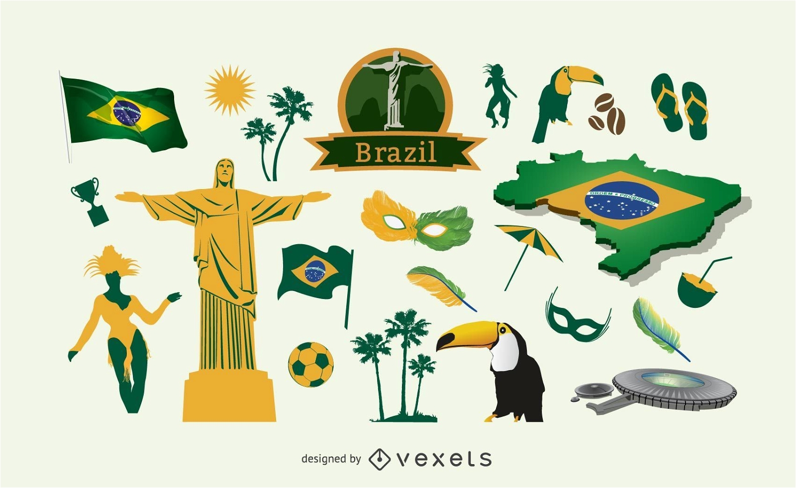
Brazil elements pack
Choose a folder
All favorites
Create new
Save
Brazil elements pack
Arrow Buttons Set
Choose a folder
All favorites
Create new
Save
Arrow Buttons Set
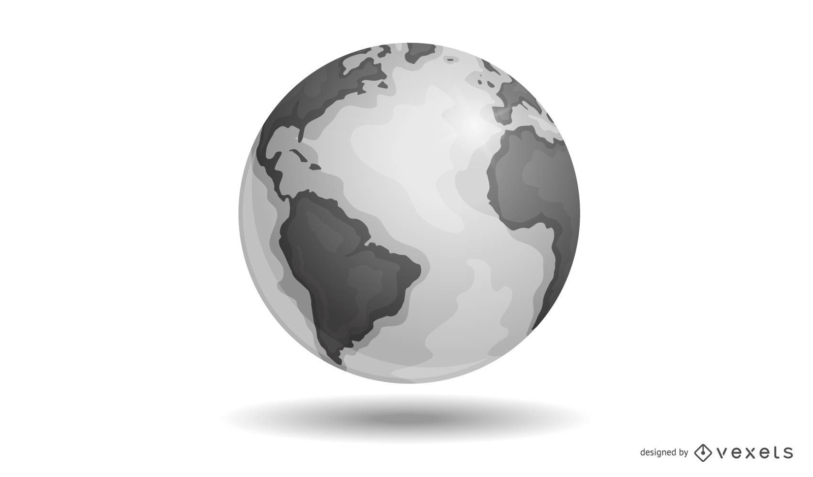
Vector Earth
Choose a folder
All favorites
Create new
Save
Vector Earth
Old Paper Scroll Design
Choose a folder
All favorites
Create new
Save
Old Paper Scroll Design
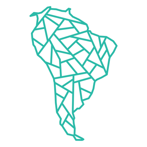
Geometric Latin America PNG Design
Choose a folder
All favorites
Create new
Save
Geometric Latin America PNG Design
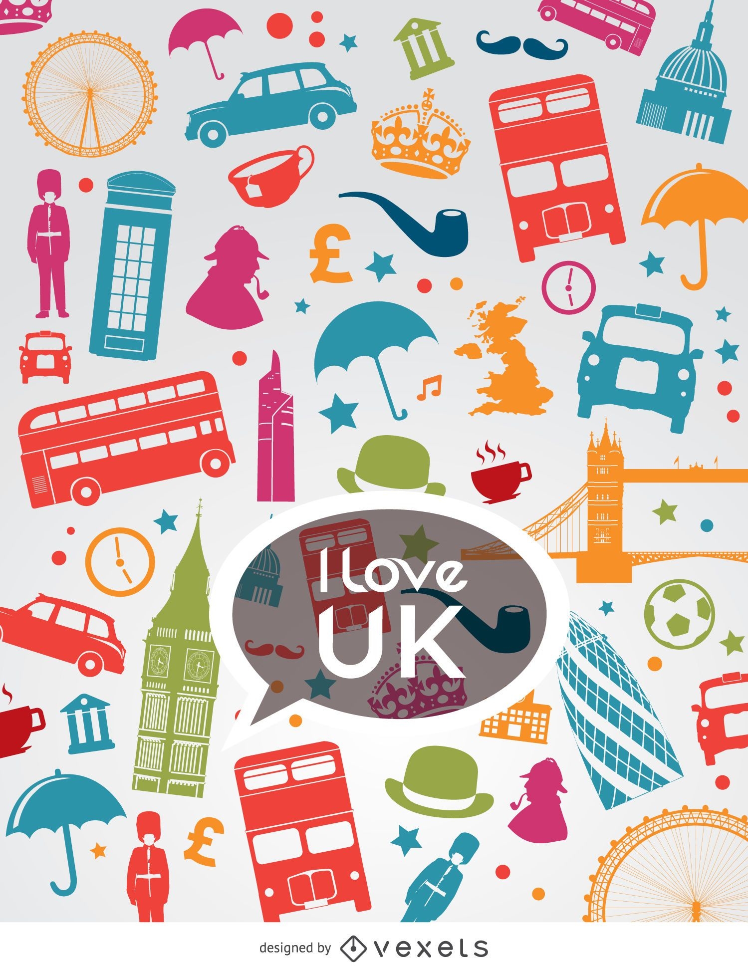
I love Uk composition
Choose a folder
All favorites
Create new
Save
I love Uk composition
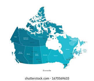
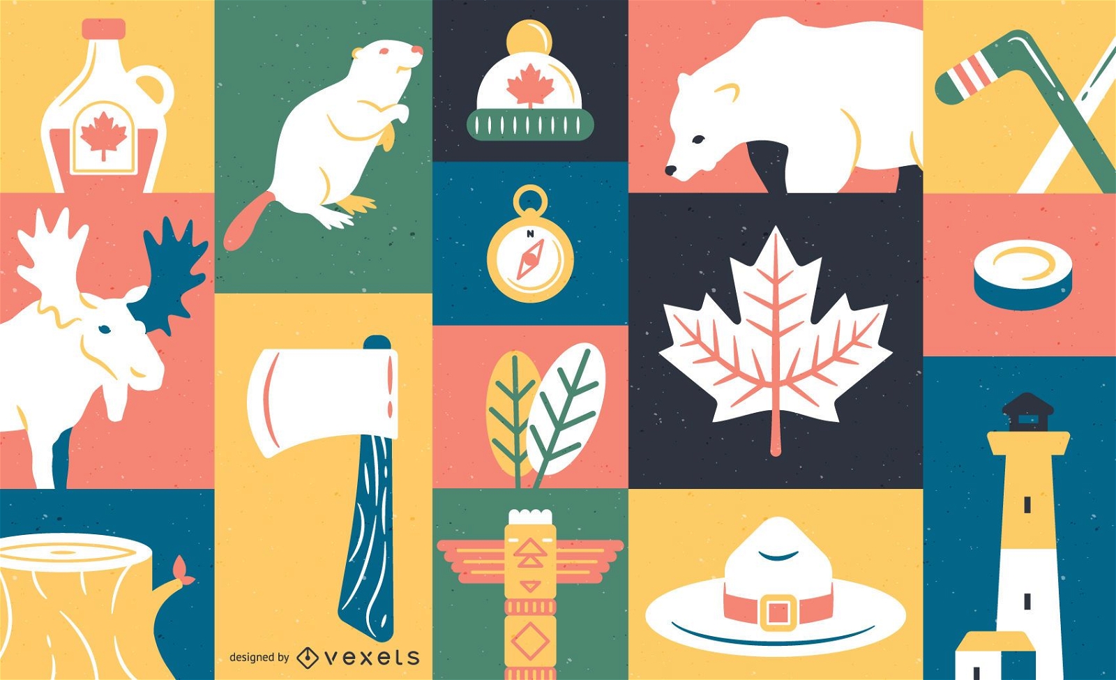
Canada element wallpaper
Choose a folder
All favorites
Create new
Save
Canada element wallpaper
Real estate marker logo
Choose a folder
All favorites
Create new
Save
Real estate marker logo
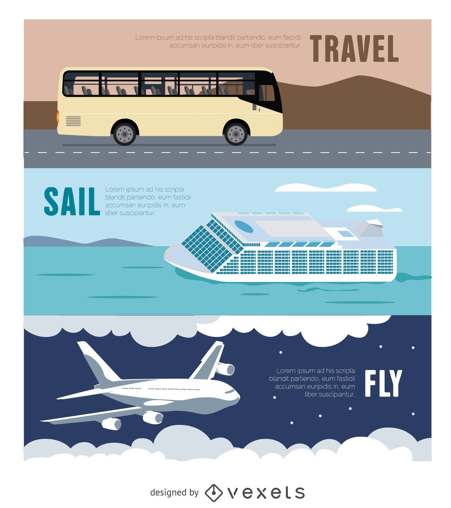
Travel Banner - Bus - Airplane - Ferry
Choose a folder
All favorites
Create new
Save
Travel Banner - Bus - Airplane - Ferry
Premium
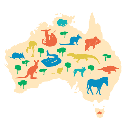
Australia illustration PNG Design
Choose a folder
All favorites
Create new
Save
Australia illustration PNG Design
Biotechnology logo template
Choose a folder
All favorites
Create new
Save
Biotechnology logo template
Premium
Globe circle icon PNG Design
Choose a folder
All favorites
Create new
Save
Globe circle icon PNG Design
Glossy Realistic Education Icon Pack
Choose a folder
All favorites
Create new
Save
Glossy Realistic Education Icon Pack
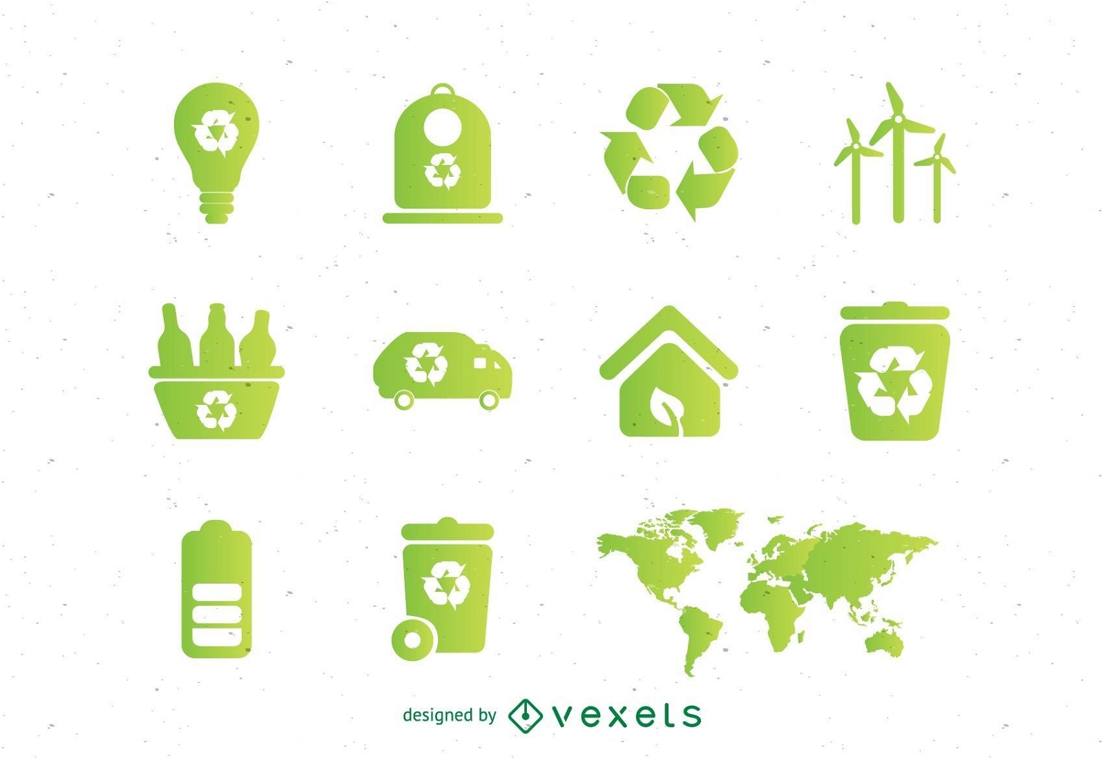
Ecologic vectors set
Choose a folder
All favorites
Create new
Save
Ecologic vectors set
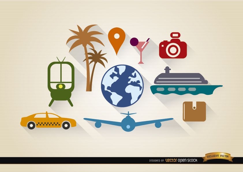
10 Travel tourism elements set
Choose a folder
All favorites
Create new
Save
10 Travel tourism elements set
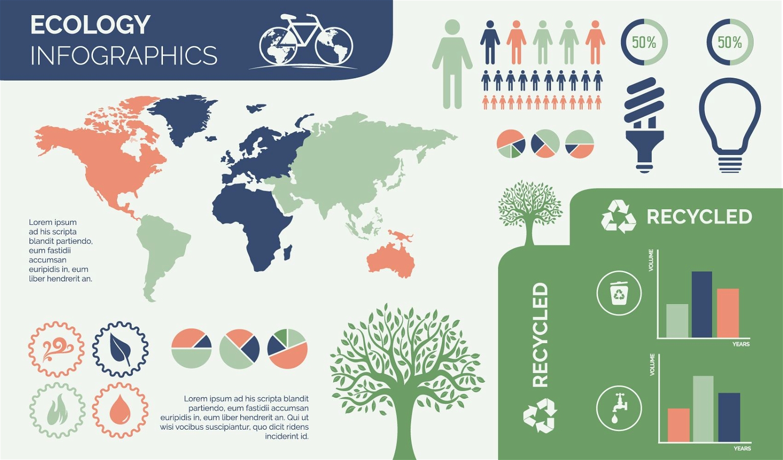
Environmental Ecology Infographic Design
Choose a folder
All favorites
Create new
Save
Environmental Ecology Infographic Design
Thin line white social media icon collection
Choose a folder
All favorites
Create new
Save
Thin line white social media icon collection
Subscribe
To Get High-Quality Commercial Use Designs For Your Business
SEE PLANS
Next
of 36
prev page
next page