Design Library
Explore Designs
New Merch Designs
Trending Merch Designs
Vectors
PNGs & SVGs
Mockups
T-Shirts
T-Shirt PSD Templates
KDP Designs
Phone Cases
Pillows
Tote Bags
Posters
Mugs
Design Tools
Designer
New!
T-shirt Maker
Mockup Generator
Quote Generator
Logo Maker
Resources
Merch Digest
Blog
Help Center
Creators Program
Learn About Merch
Changelog
Pricing
Loading...
Sign Up
Login
PNG
map
Design Library
Explore Designs
New Merch Designs
Trending Merch Designs
Vectors
PNGs & SVGs
Mockups
T-Shirts
T-Shirt PSD Templates
KDP Designs
Phone Cases
Pillows
Tote Bags
Posters
Mugs
Design Tools
Designer
New!
T-shirt Maker
Mockup Generator
Quote Generator
Logo Maker
Resources
Merch Digest
Blog
Help Center
Creators Program
Learn About Merch
Changelog
PLANS
PNG
map
1752 map PNG and SVG Editable Vectors
Download editable map PNG and SVG Vectors with transparent background.
Related:
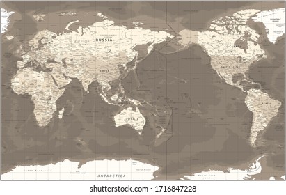
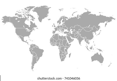
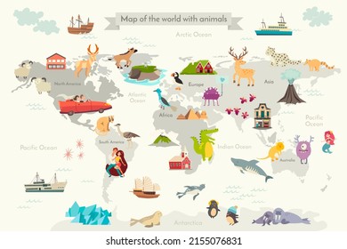
world map
,
map silhouette
Sort by
Most relevant
Sponsored results by
Get 15% off with code: VEXELS15
Show more
×
We didn't find any
map
PNG, but here's all our
map
designs or
request design here
Print ready
for Merch
Africa map t-shirt design
Choose a folder
All favorites
Create new
Save
Africa map t-shirt design
Editable text
Print ready
for Merch
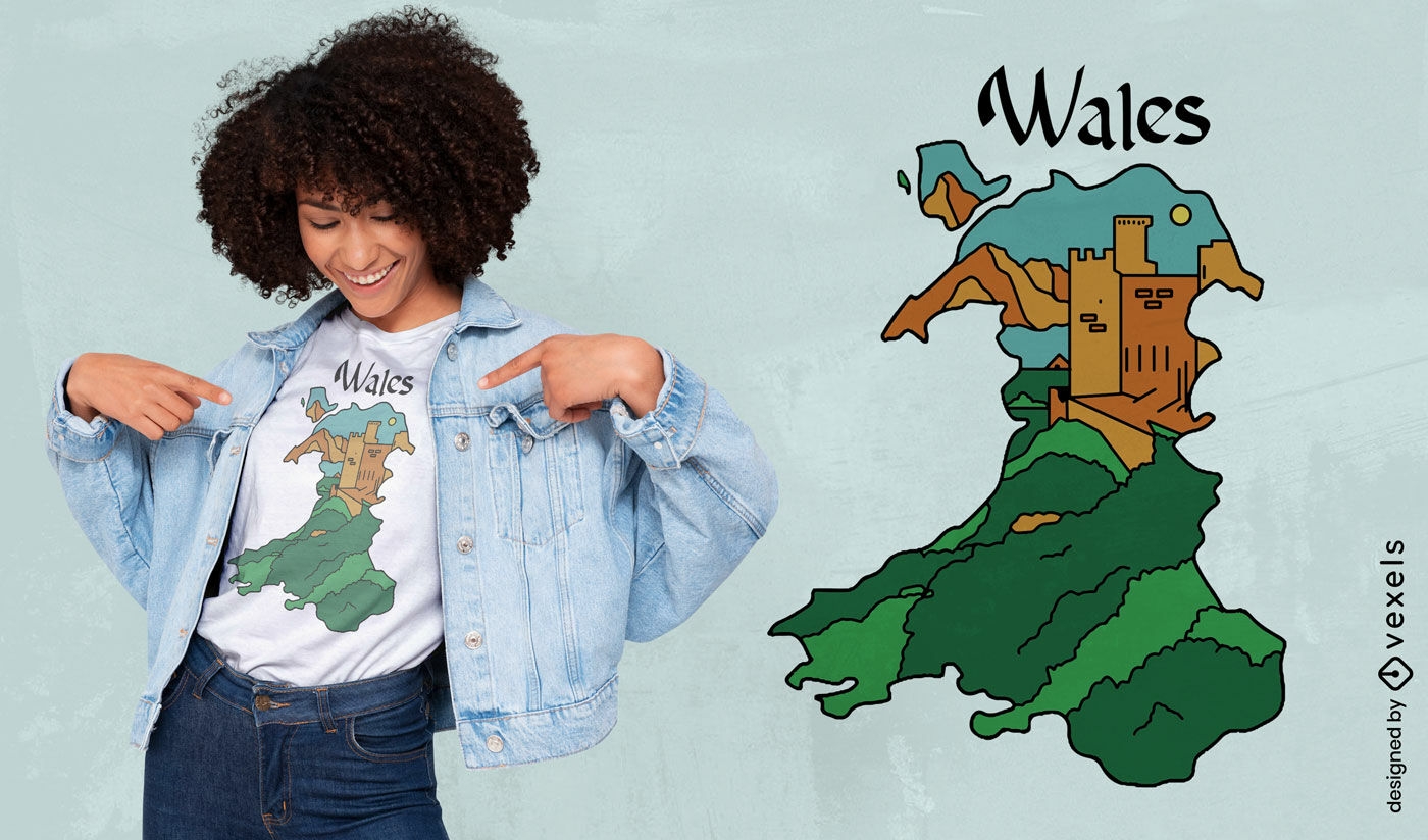
Welsh map and castle t-shirt design
Choose a folder
All favorites
Create new
Save
Welsh map and castle t-shirt design
Print ready
for Merch
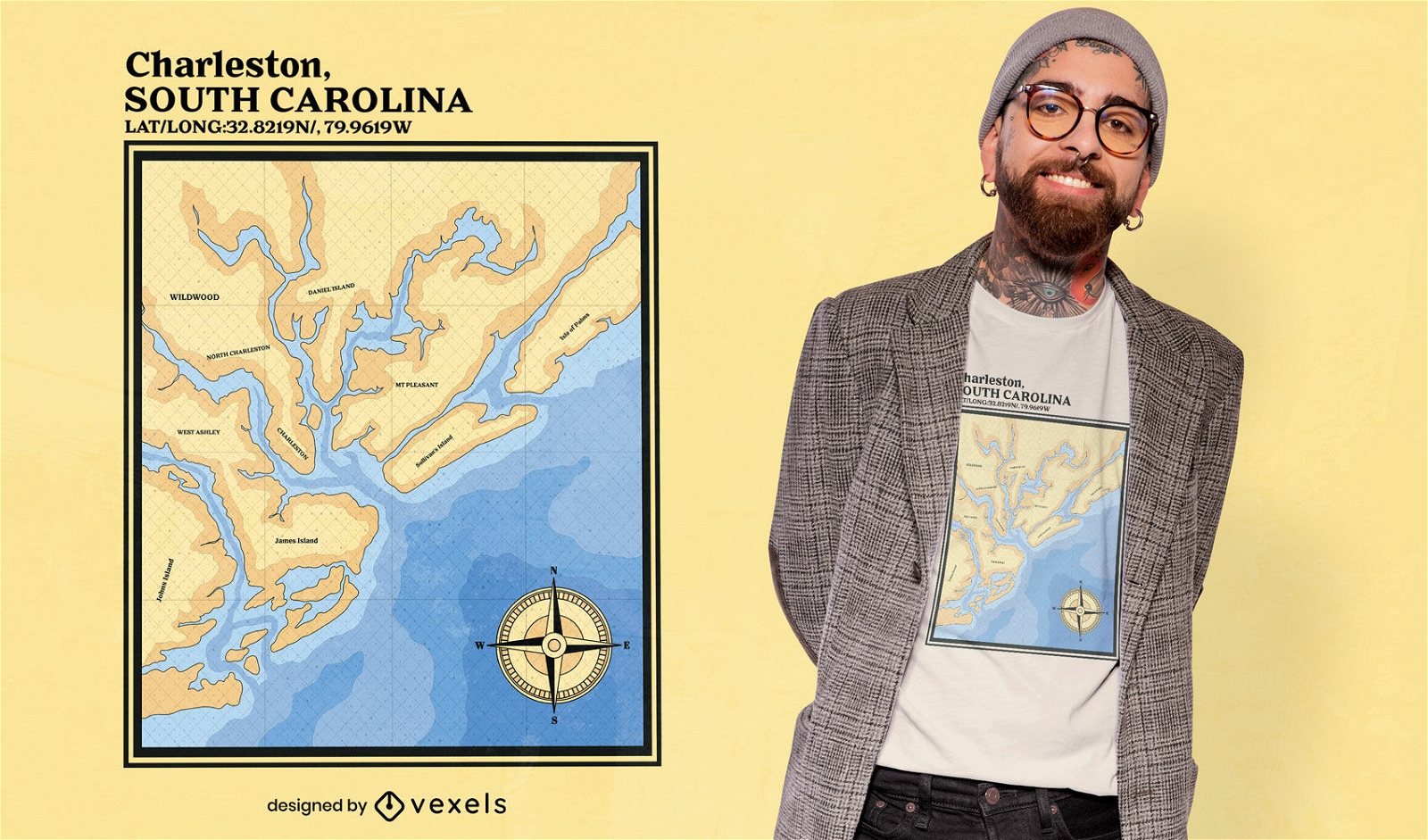
Charleston South Carolina nautic map t-shirt design
Choose a folder
All favorites
Create new
Save
Charleston South Carolina nautic map t-shirt design
Print ready
for Merch
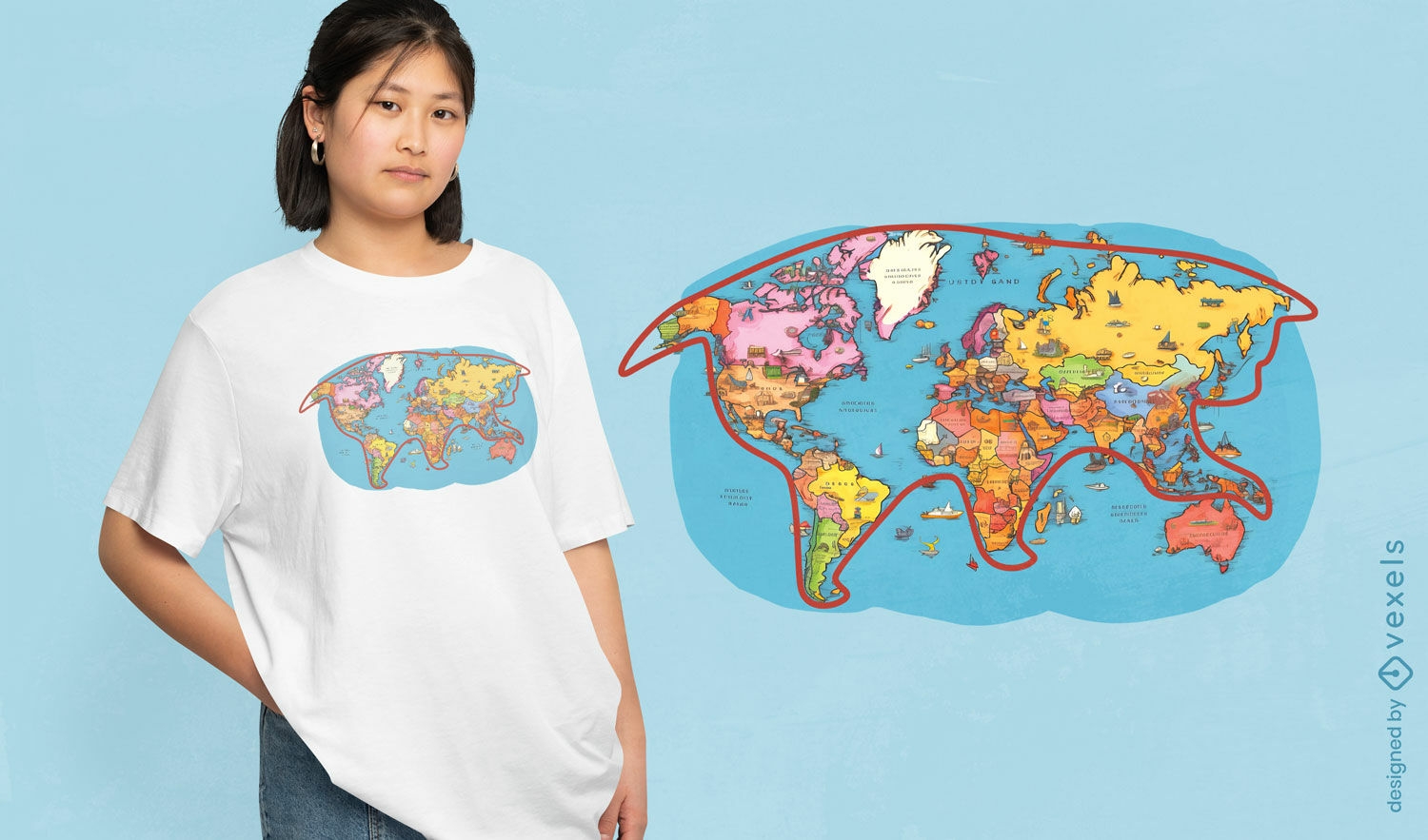
Playful world map cat t-shirt design
Choose a folder
All favorites
Create new
Save
Playful world map cat t-shirt design
Print ready
for Merch
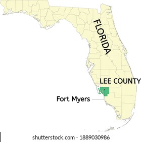
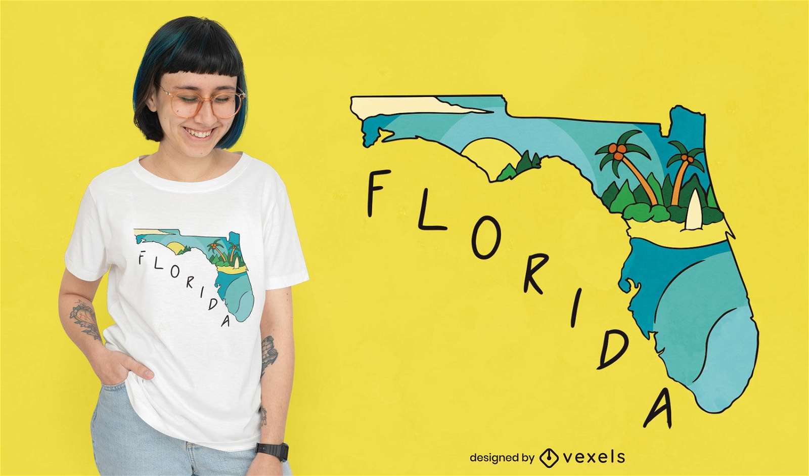
Florida USA state map t-shirt design
Choose a folder
All favorites
Create new
Save
Florida USA state map t-shirt design
Print ready
for Merch
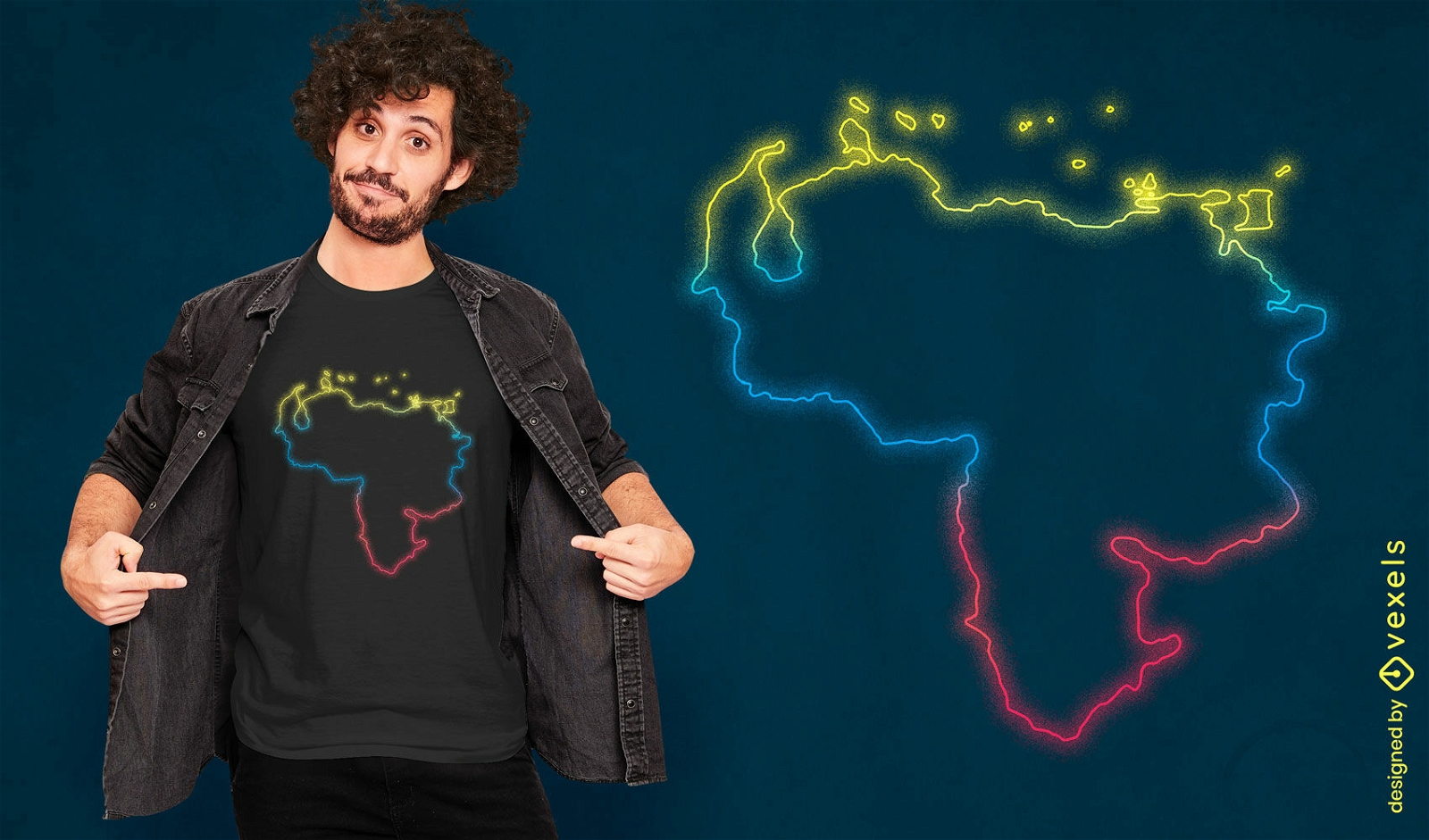
Venezuelan neon map t-shirt design
Choose a folder
All favorites
Create new
Save
Venezuelan neon map t-shirt design
Editable text
Print ready
for Merch
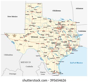
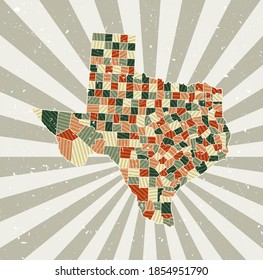
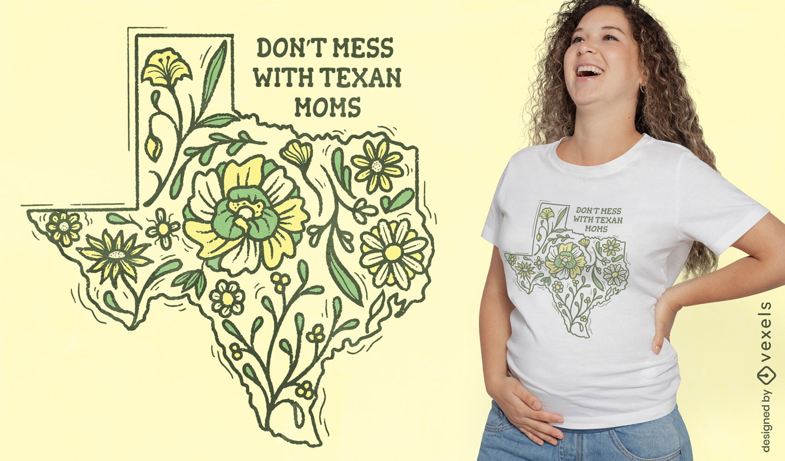
Texas map with flowers t-shirt design
Choose a folder
All favorites
Create new
Save
Texas map with flowers t-shirt design
Print ready
for Merch
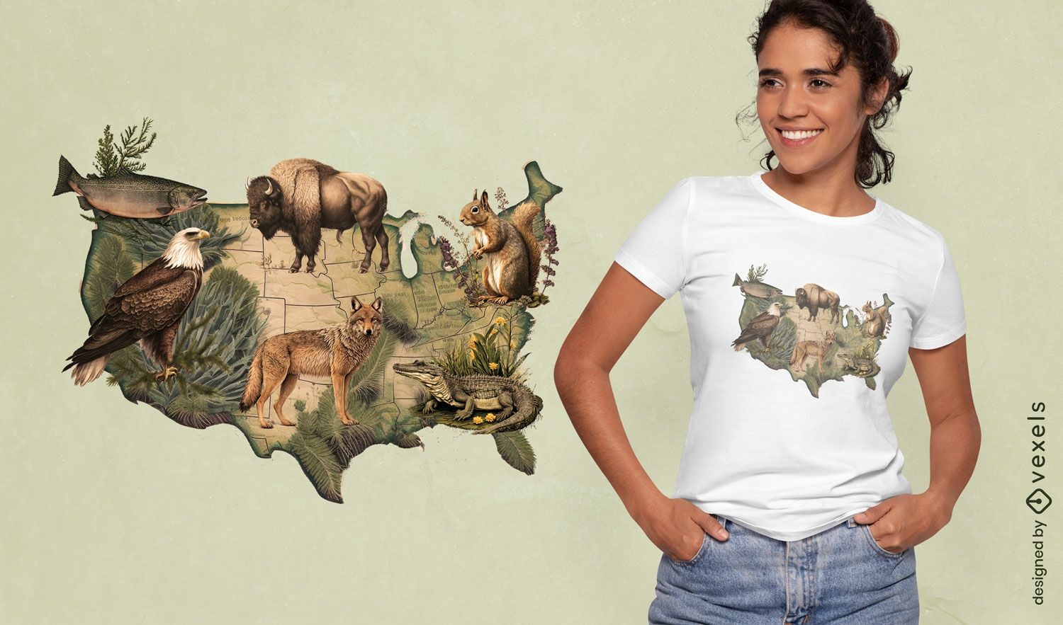
American wildlife map t-shirt design
Choose a folder
All favorites
Create new
Save
American wildlife map t-shirt design
Print ready
for Merch
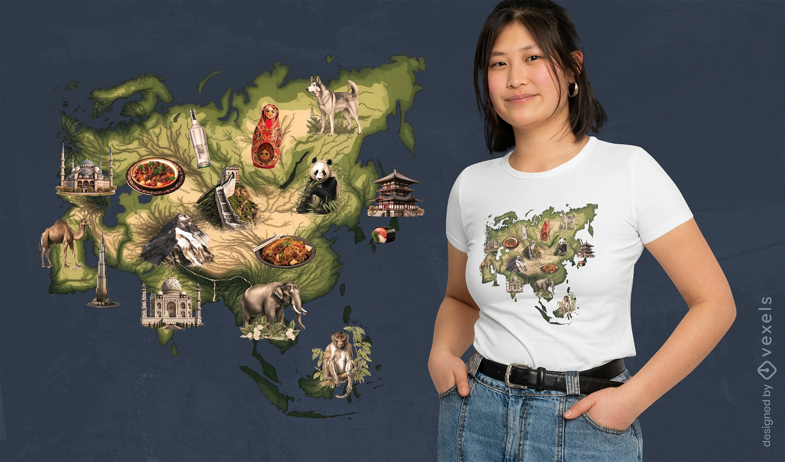
Asian landmarks map t-shirt design
Choose a folder
All favorites
Create new
Save
Asian landmarks map t-shirt design
Print ready
for Merch
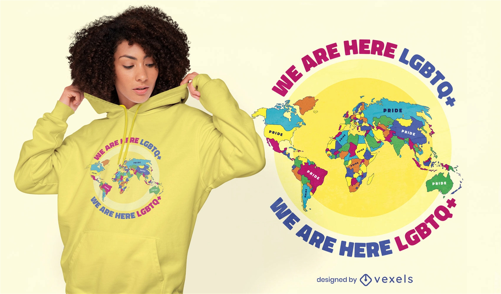
Pride world map lgbt t-shirt design
Choose a folder
All favorites
Create new
Save
Pride world map lgbt t-shirt design
Print ready
for Merch
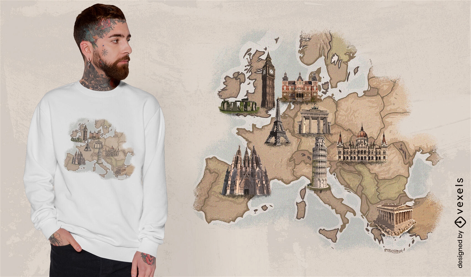
European landmarks map t-shirt design
Choose a folder
All favorites
Create new
Save
European landmarks map t-shirt design
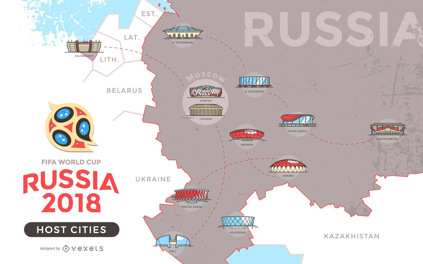
Russia 2018 host cities map
Choose a folder
All favorites
Create new
Save
Russia 2018 host cities map
Print ready
for Merch
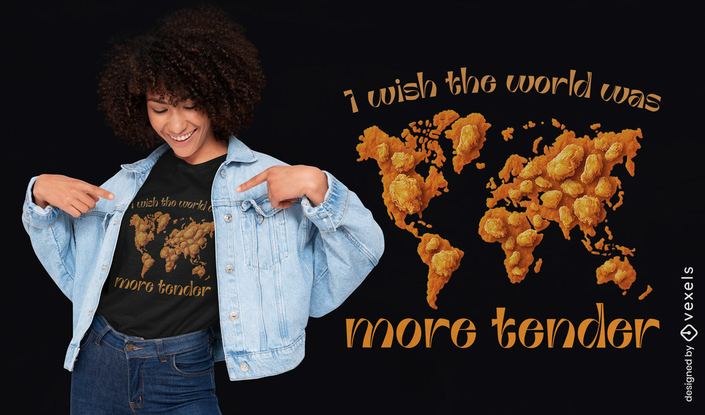
Chicken nugget world map t-shirt design
Choose a folder
All favorites
Create new
Save
Chicken nugget world map t-shirt design
Print ready
for Merch
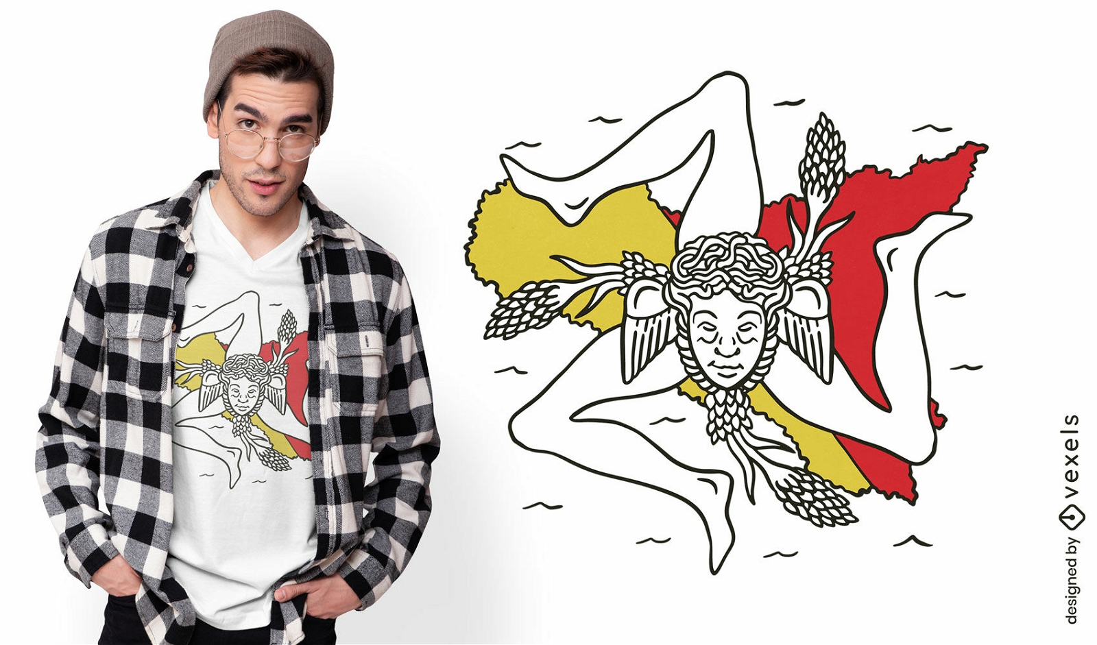
Sicily italy map and flag t-shirt design
Choose a folder
All favorites
Create new
Save
Sicily italy map and flag t-shirt design
Print ready
for Merch
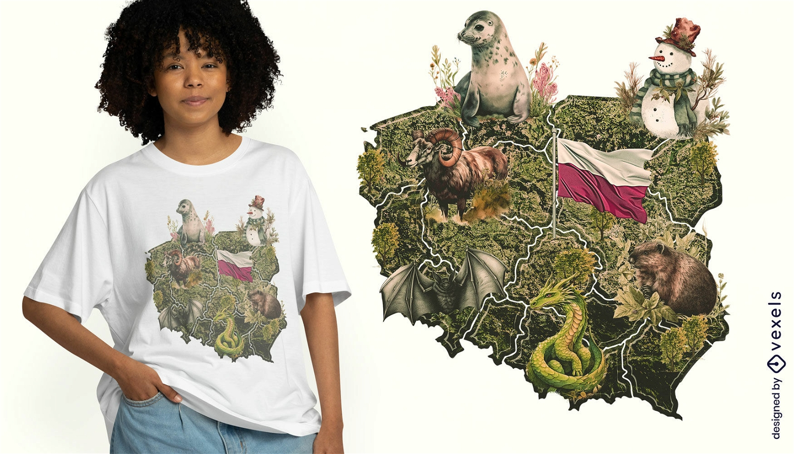
Polish map t-shirt design
Choose a folder
All favorites
Create new
Save
Polish map t-shirt design
Print ready
for Merch
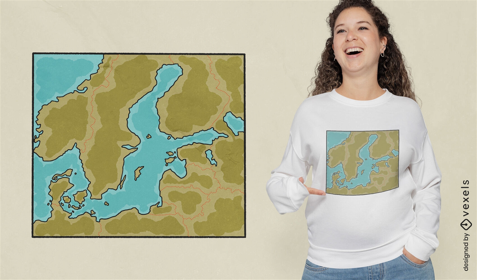
Baltic sea map t-shirt design
Choose a folder
All favorites
Create new
Save
Baltic sea map t-shirt design
Print ready
for Merch
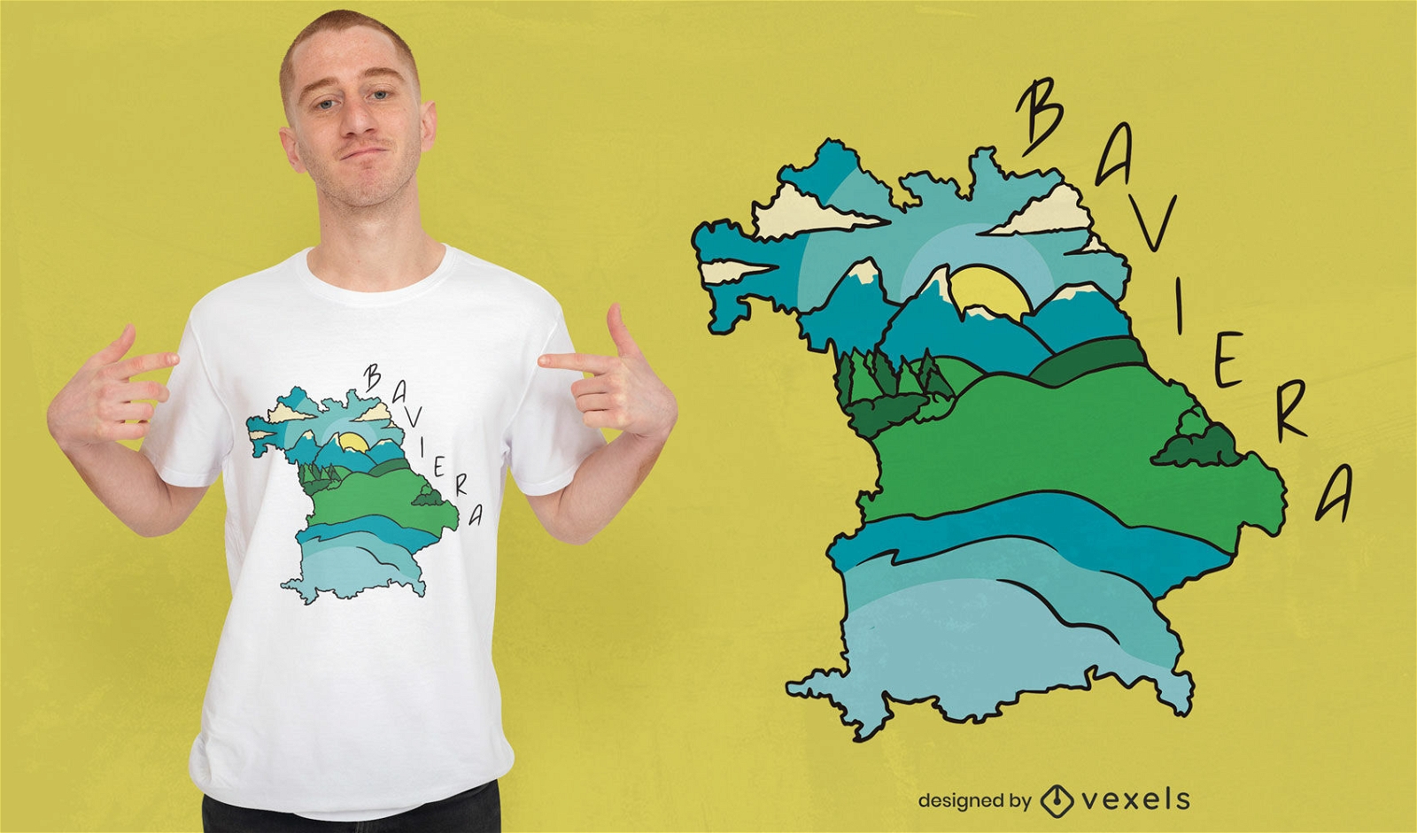
Baviera landscape and map t-shirt design
Choose a folder
All favorites
Create new
Save
Baviera landscape and map t-shirt design
Print ready
for Merch
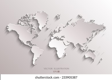
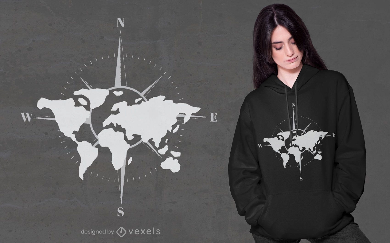
World map compass t-shirt design
Choose a folder
All favorites
Create new
Save
World map compass t-shirt design
Print ready
for Merch
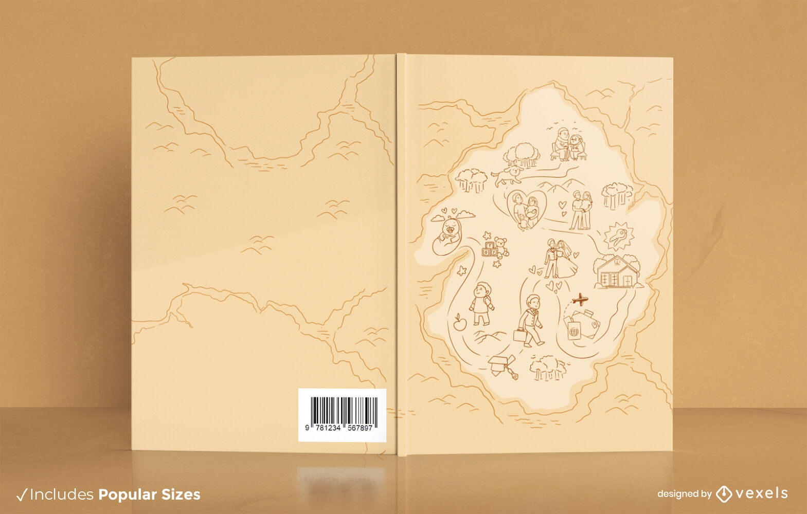
Life map book cover design KDP
Choose a folder
All favorites
Create new
Save
Life map book cover design KDP
Print ready
for Merch
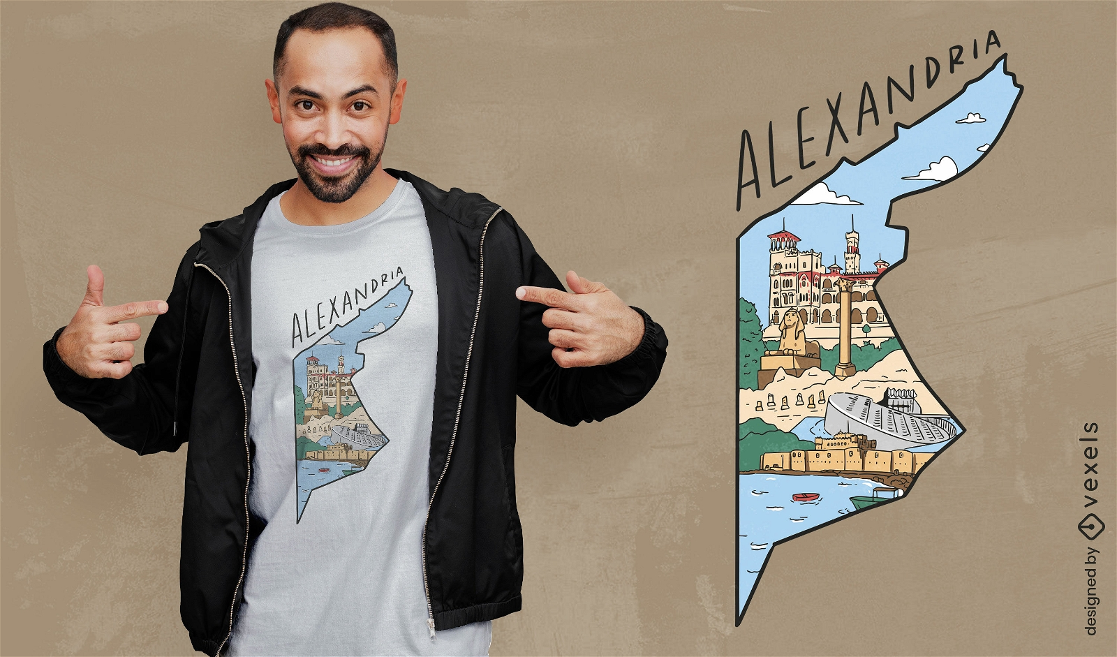
Alexandria egypt map t-shirt design
Choose a folder
All favorites
Create new
Save
Alexandria egypt map t-shirt design
Print ready
for Merch
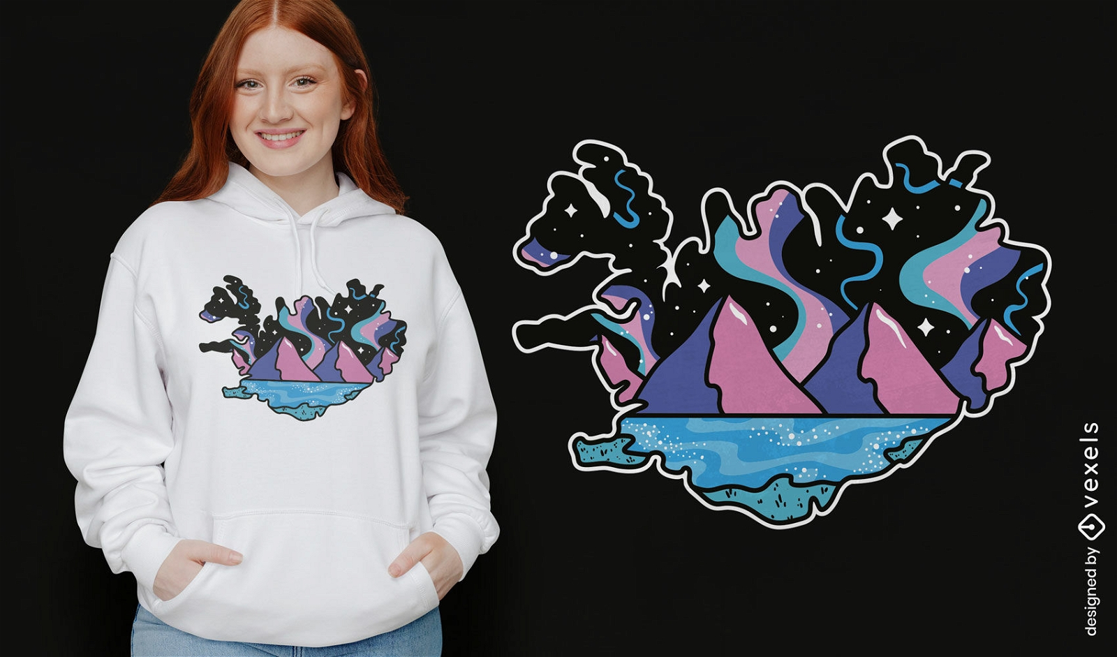
Northern Lights Iceland map t-shirt design
Choose a folder
All favorites
Create new
Save
Northern Lights Iceland map t-shirt design
Print ready
for Merch
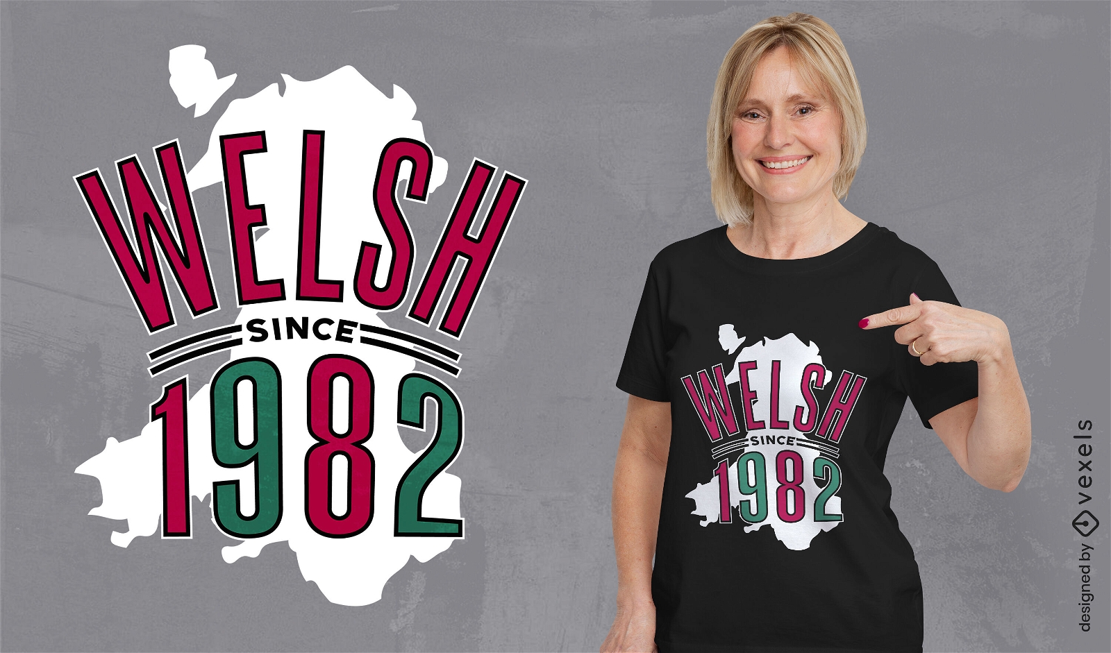
Wales country map birthday quote t-shirt design
Choose a folder
All favorites
Create new
Save
Wales country map birthday quote t-shirt design
Print ready
for Merch
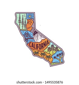
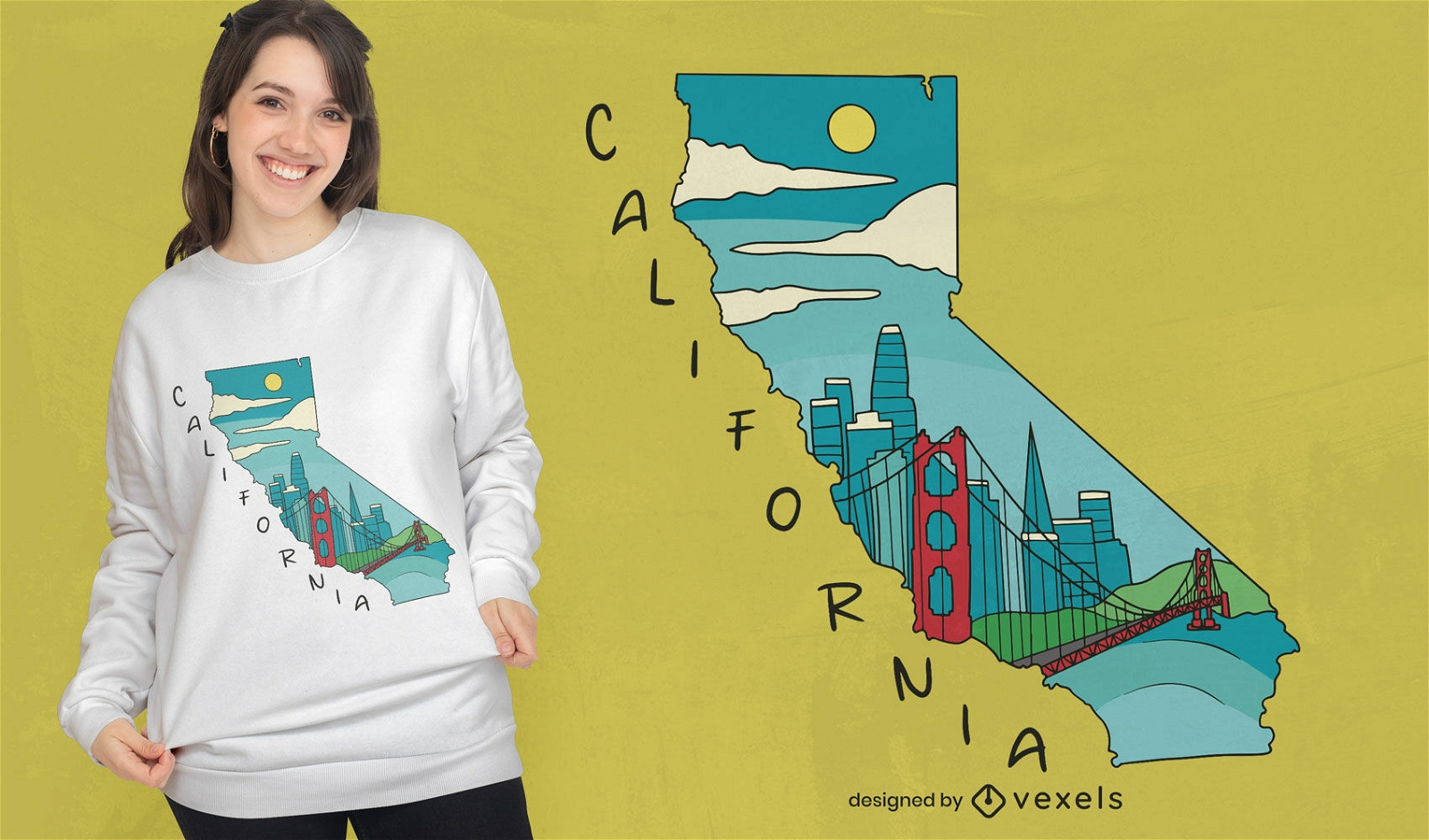
California map landmarks t-shirt design
Choose a folder
All favorites
Create new
Save
California map landmarks t-shirt design
Print ready
for Merch
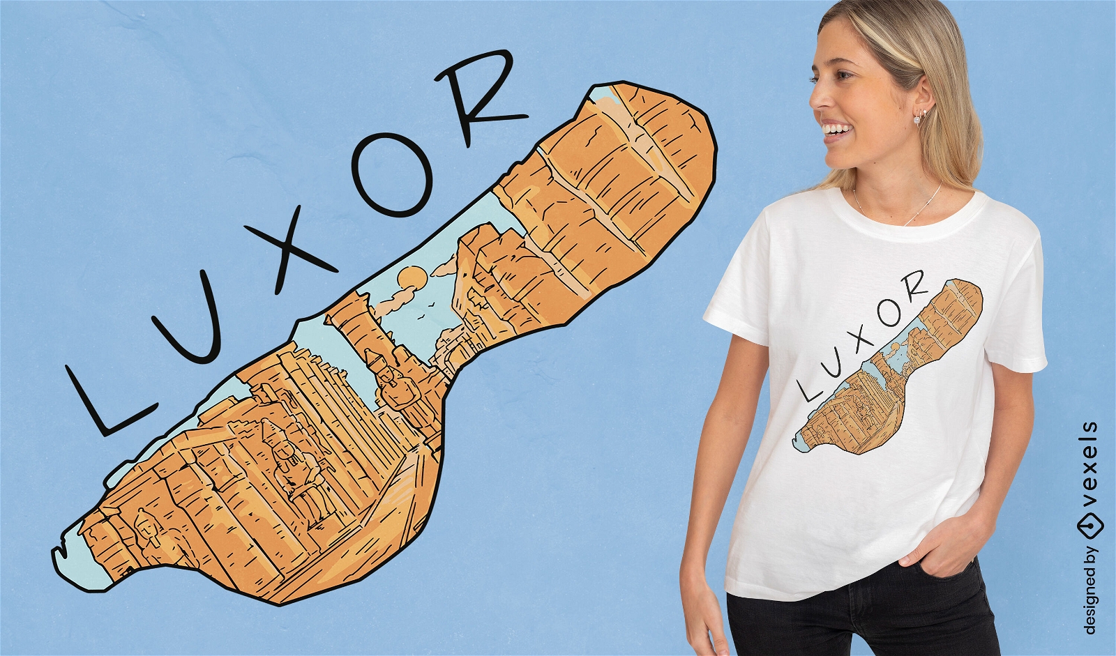
Luxor egypt country map t-shirt design
Choose a folder
All favorites
Create new
Save
Luxor egypt country map t-shirt design
Editable text
Print ready
for Merch
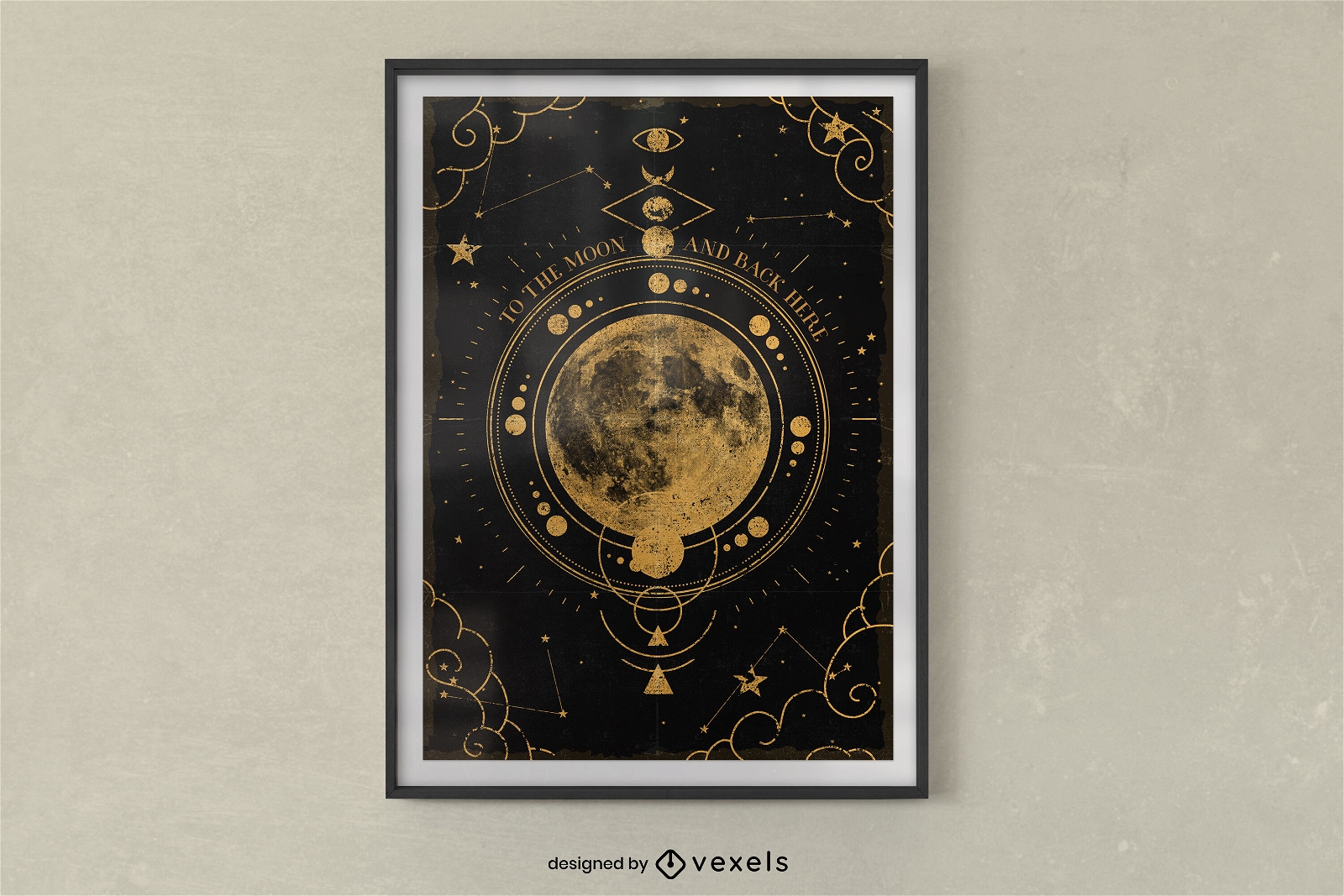
Moon map poster design
Choose a folder
All favorites
Create new
Save
Moon map poster design
Print ready
for Merch
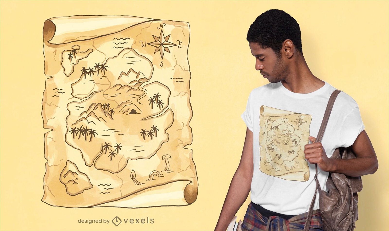
Treasure map t-shirt design
Choose a folder
All favorites
Create new
Save
Treasure map t-shirt design
Print ready
for Merch
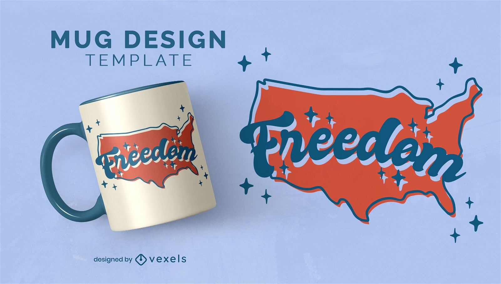
North american map freedom mug design
Choose a folder
All favorites
Create new
Save
North american map freedom mug design
Print ready
for Merch
Scotland map t-shirt design
Choose a folder
All favorites
Create new
Save
Scotland map t-shirt design
for Merch
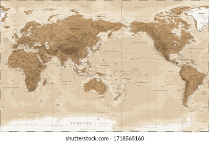
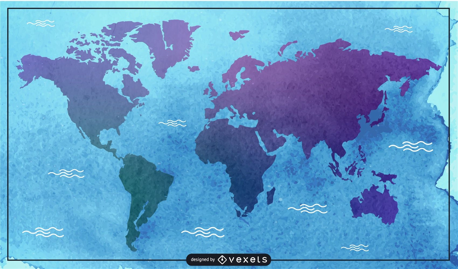
Watercolor map illustration
Choose a folder
All favorites
Create new
Save
Watercolor map illustration
Print ready
for Merch
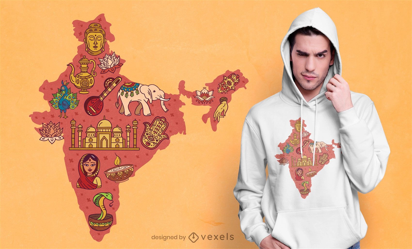
India map t-shirt design
Choose a folder
All favorites
Create new
Save
India map t-shirt design
Editable text
Print ready
for Merch
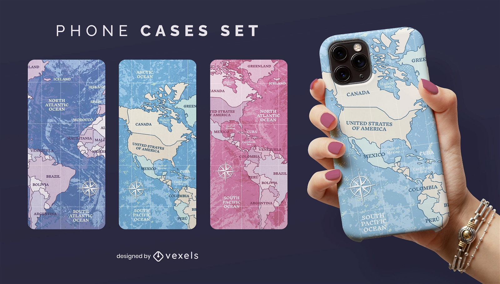
World map travelling phone case set
Choose a folder
All favorites
Create new
Save
World map travelling phone case set
Print ready
for Merch
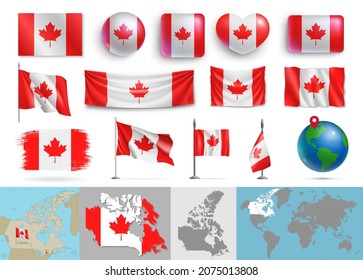
Canada national parks map t-shirt design
Choose a folder
All favorites
Create new
Save
Canada national parks map t-shirt design
Print ready
for Merch
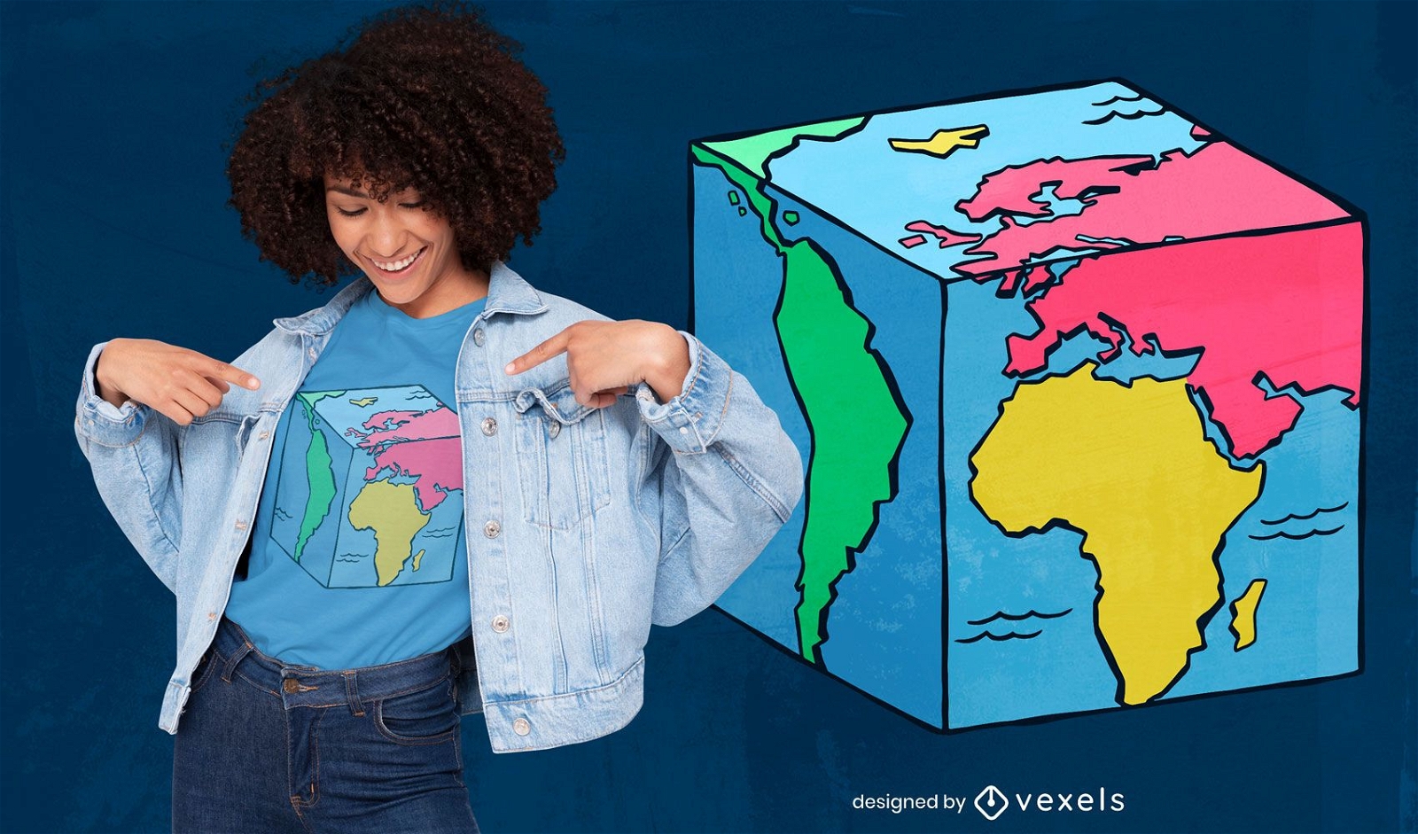
World map cube t-shirt design
Choose a folder
All favorites
Create new
Save
World map cube t-shirt design
Print ready
for Merch
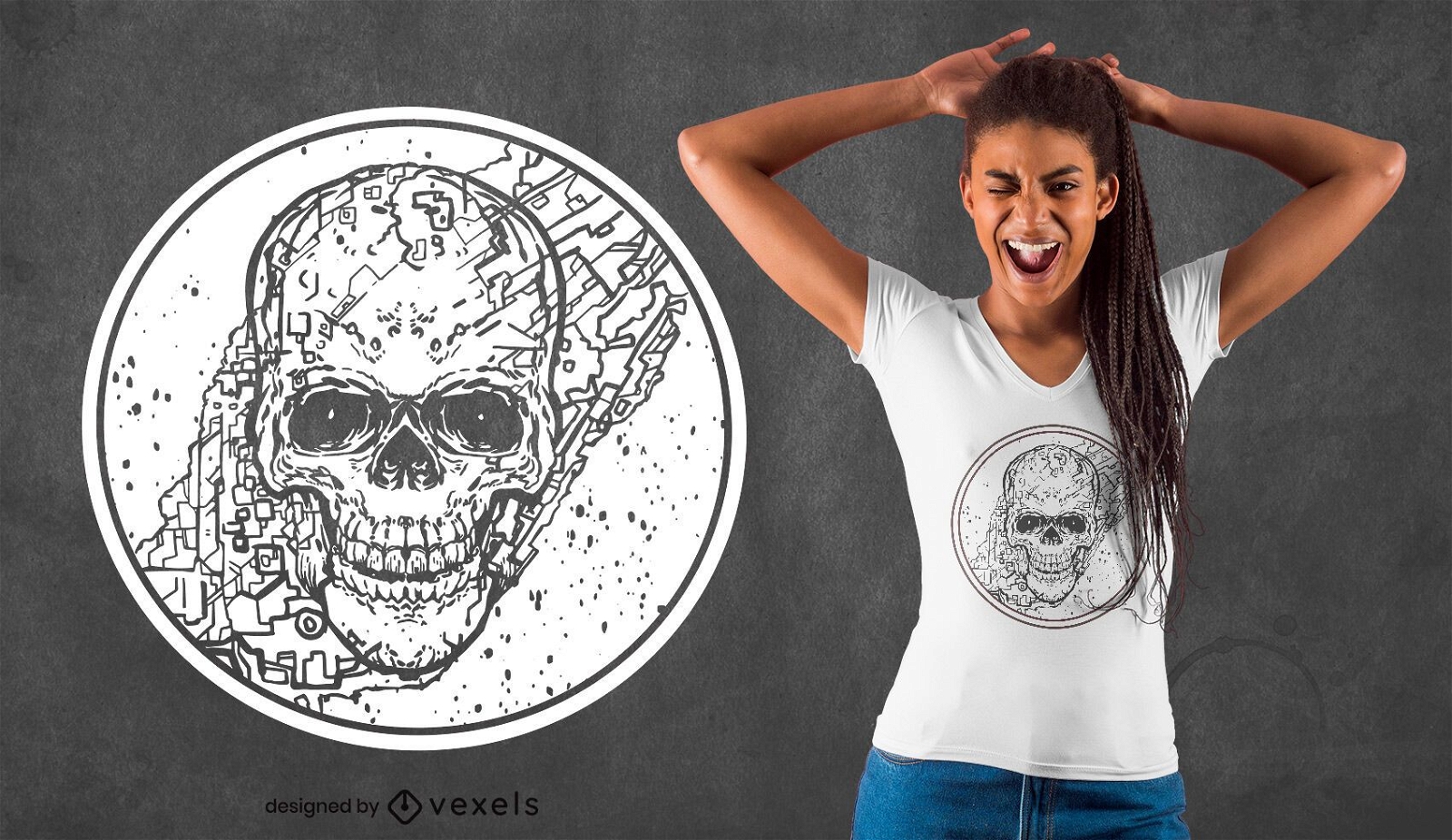
Skull map line art t-shirt design
Choose a folder
All favorites
Create new
Save
Skull map line art t-shirt design
Print ready
for Merch
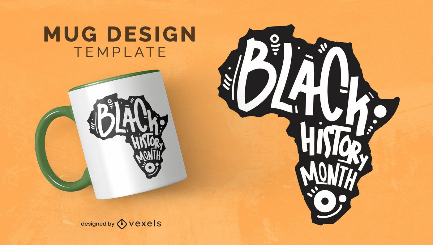
Black history month african map mug design
Choose a folder
All favorites
Create new
Save
Black history month african map mug design
Editable text
for Merch
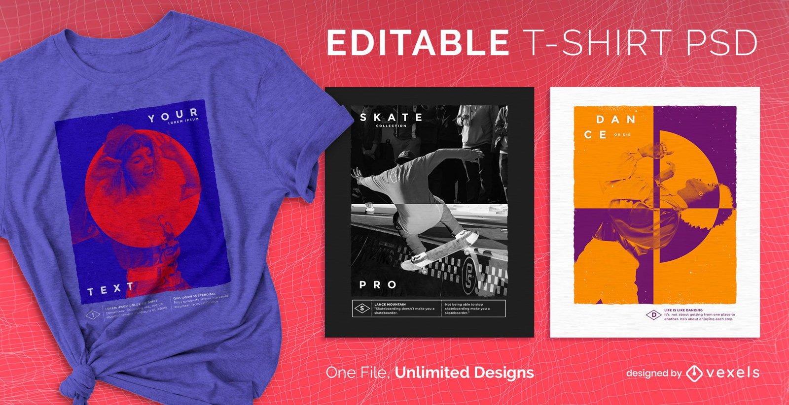
Heat map gradient scalable t-shirt psd
Choose a folder
All favorites
Create new
Save
Heat map gradient scalable t-shirt psd
Print ready
for Merch
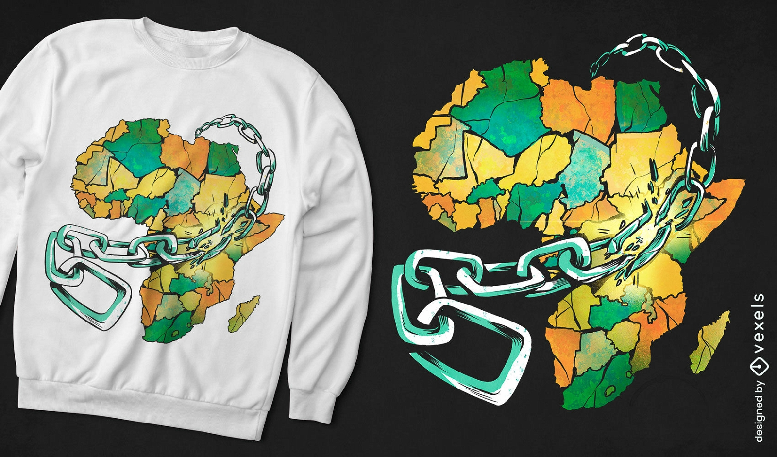
Africa map in chains t-shirt design
Choose a folder
All favorites
Create new
Save
Africa map in chains t-shirt design
Print ready
for Merch
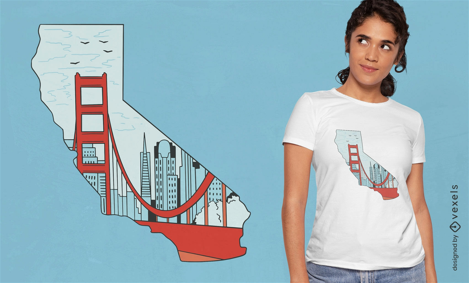
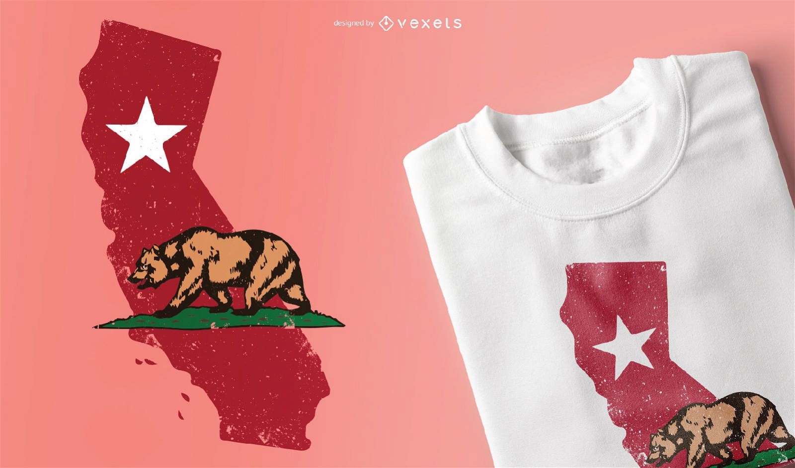
California State map t-shirt design
Choose a folder
All favorites
Create new
Save
California State map t-shirt design
Editable text
Print ready
for Merch
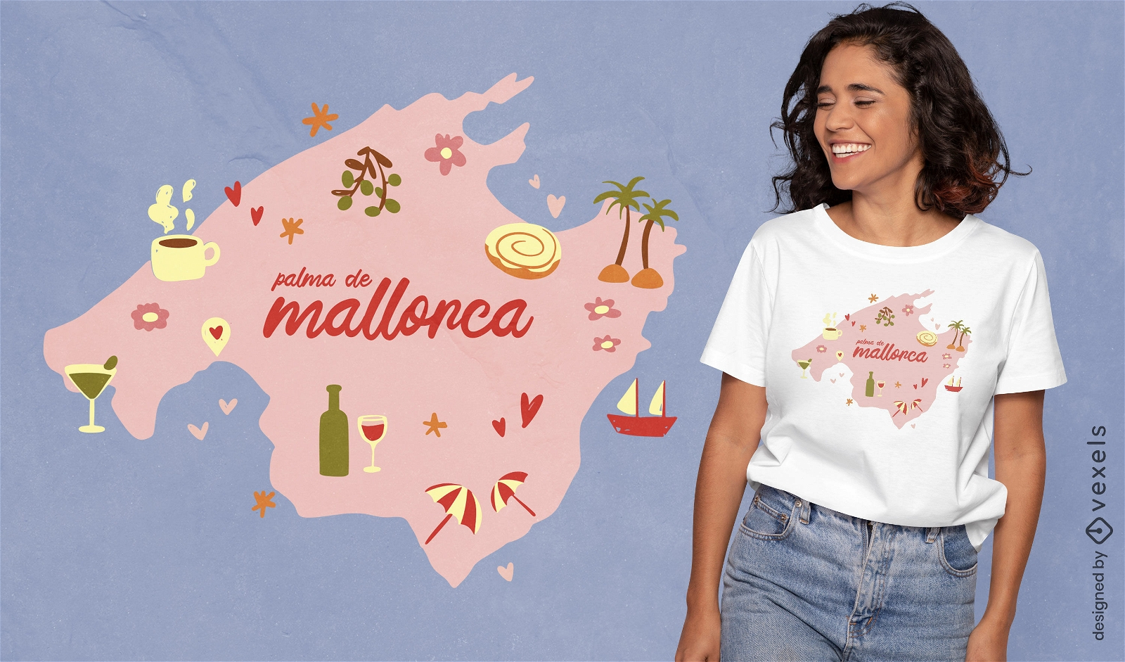
Palma de Mallorca map t-shirt design
Choose a folder
All favorites
Create new
Save
Palma de Mallorca map t-shirt design
Print ready
for Merch
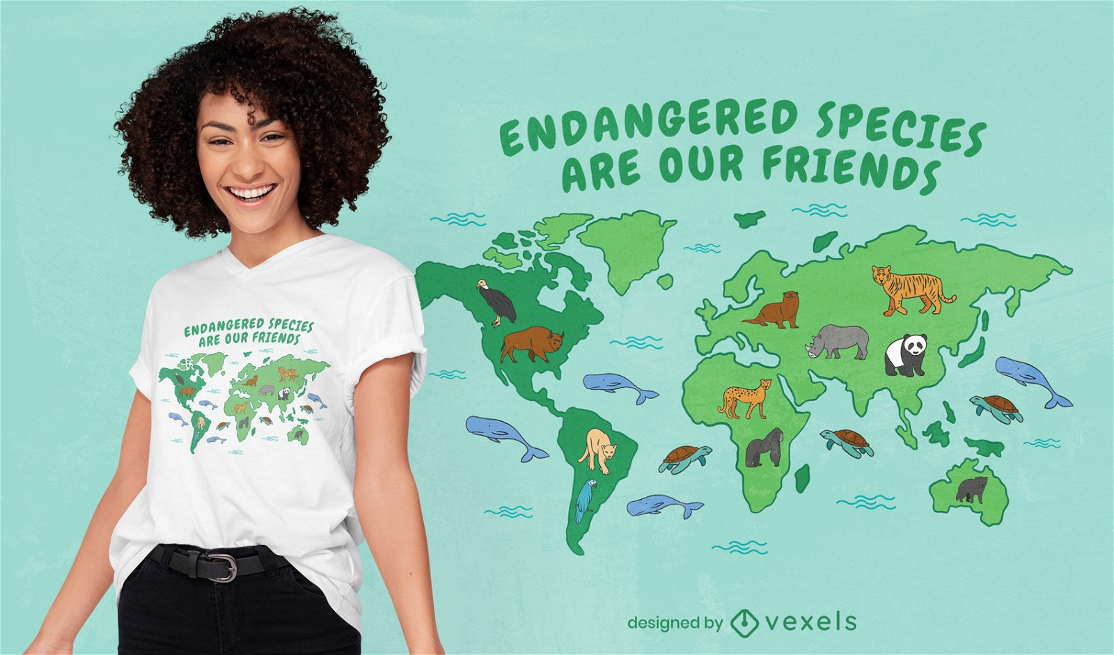
Endangered species map t-shirt design
Choose a folder
All favorites
Create new
Save
Endangered species map t-shirt design
for Merch
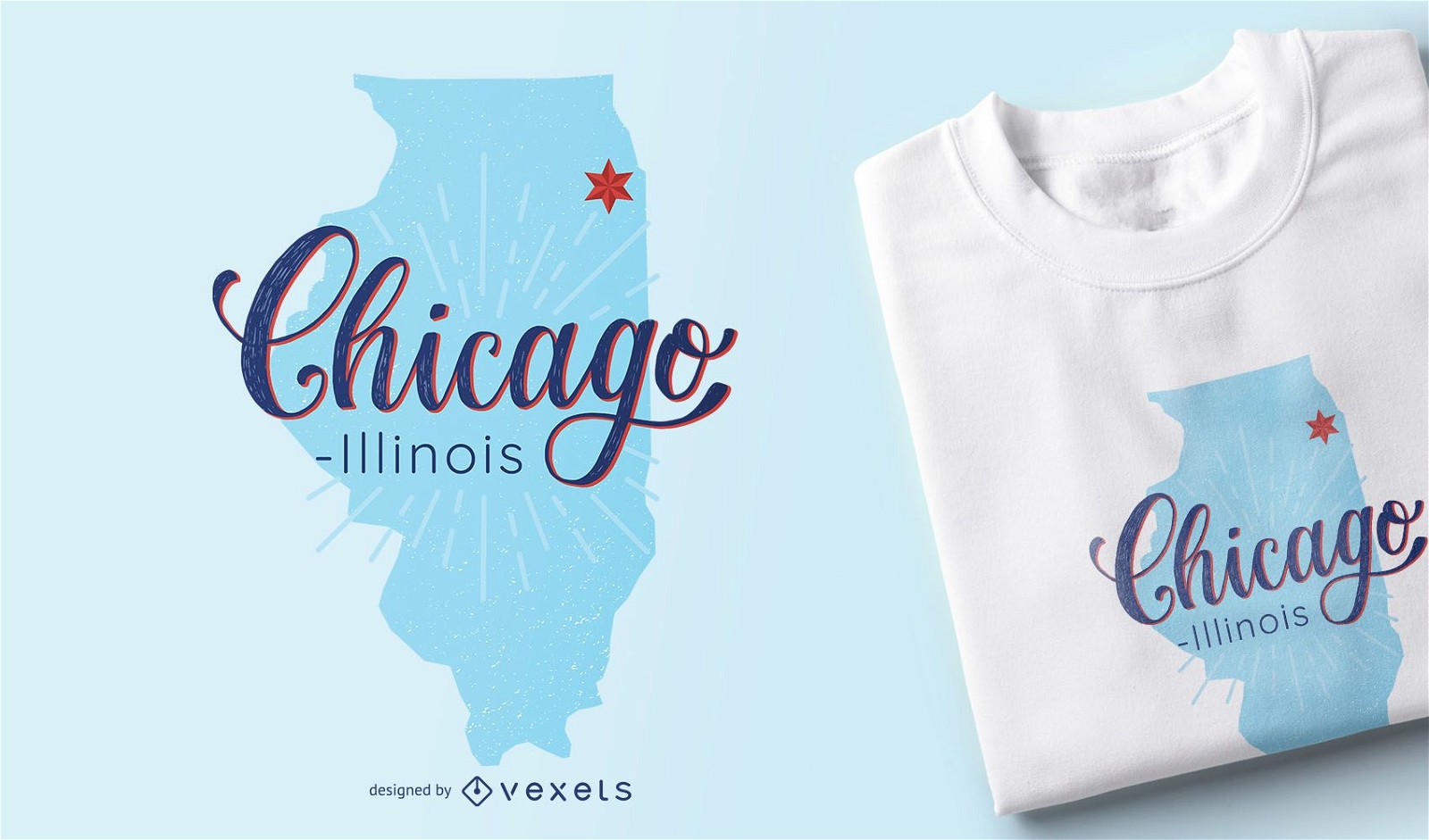
Chicago Illinois Map T-shirt Design
Choose a folder
All favorites
Create new
Save
Chicago Illinois Map T-shirt Design
Print ready
for Merch
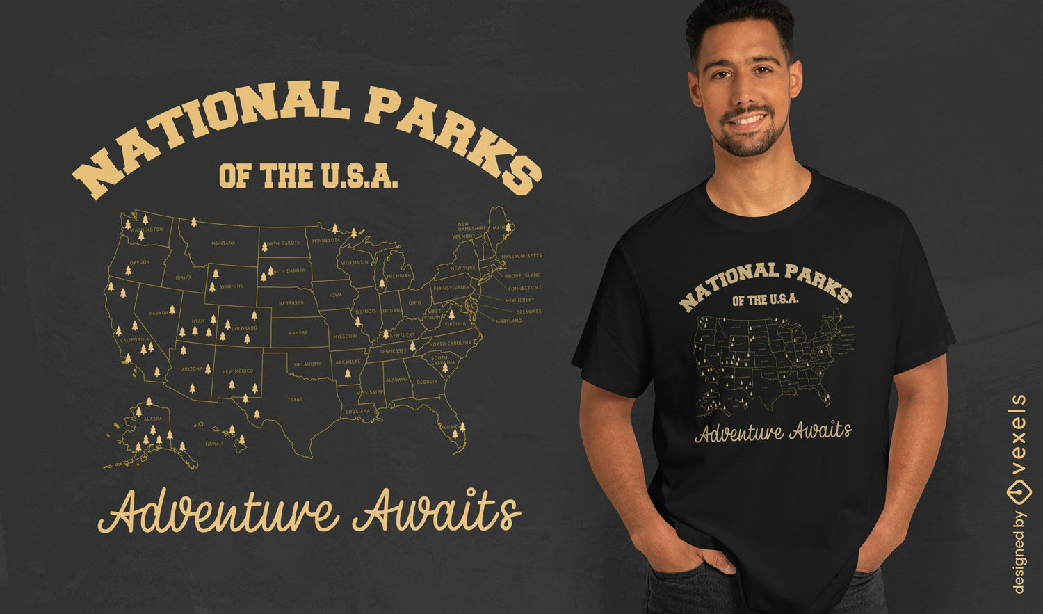
National parks adventure t-shirt design
Choose a folder
All favorites
Create new
Save
National parks adventure t-shirt design
Scalable PSD T-Shirt
for Merch
Gradient map scalable t-shirt psd
Choose a folder
All favorites
Create new
Save
Gradient map scalable t-shirt psd
Print ready
for Merch
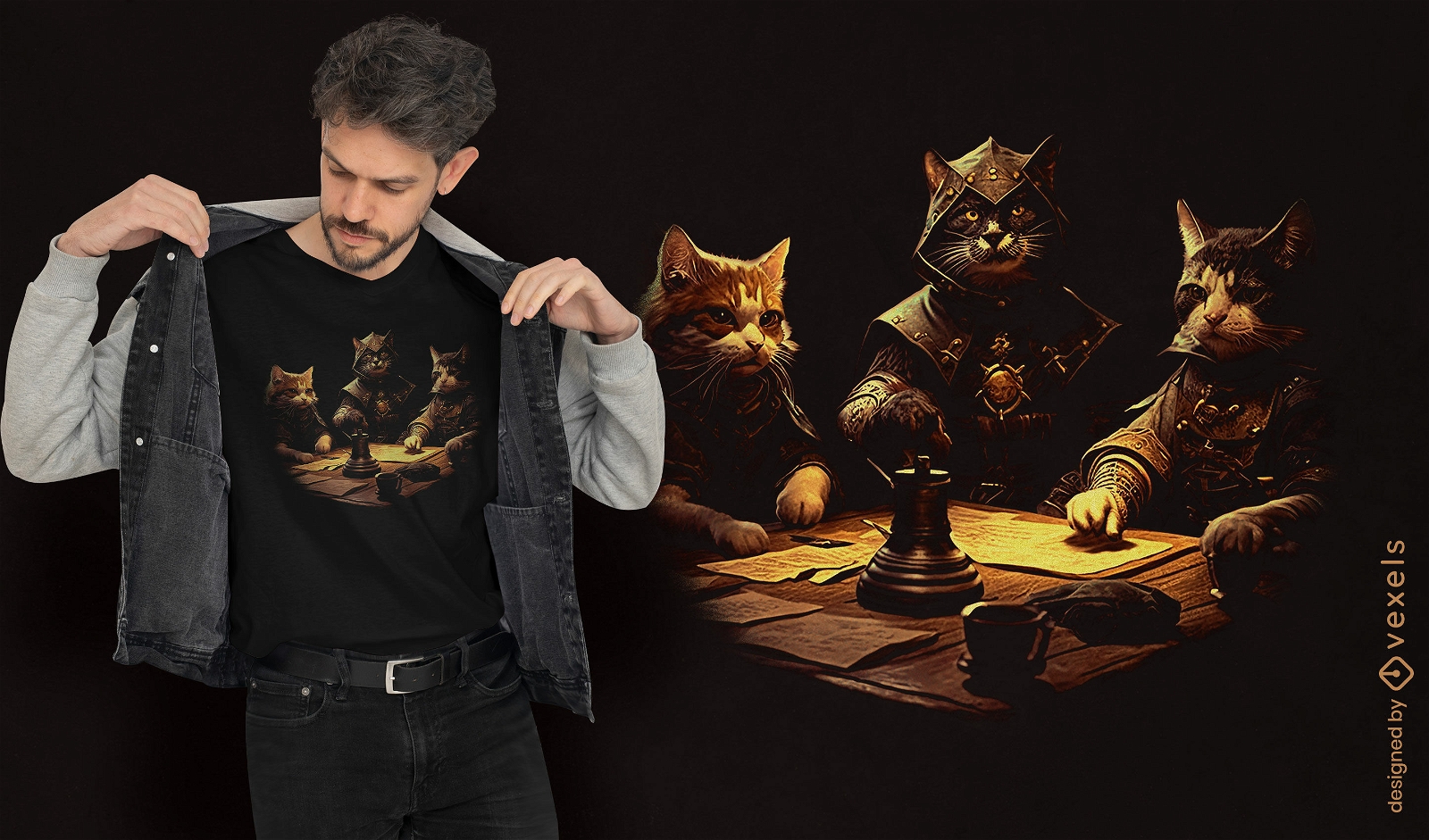
RPG cats t-shirt design
Choose a folder
All favorites
Create new
Save
RPG cats t-shirt design
Print ready
for Merch
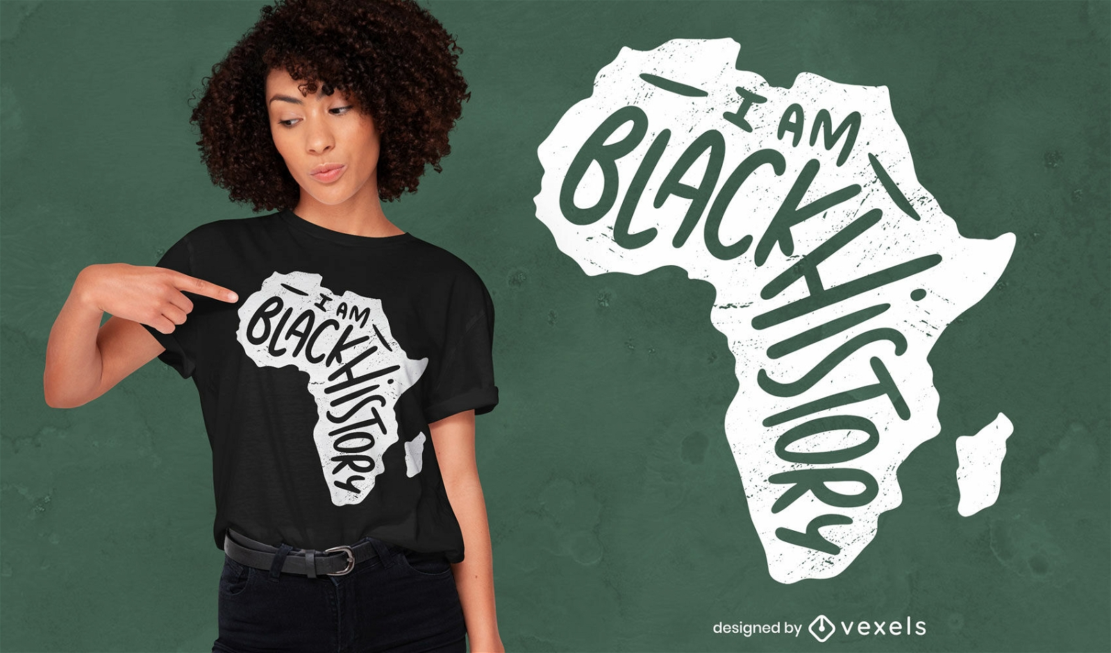
I am black history t-shirt design
Choose a folder
All favorites
Create new
Save
I am black history t-shirt design
Print ready
for Merch
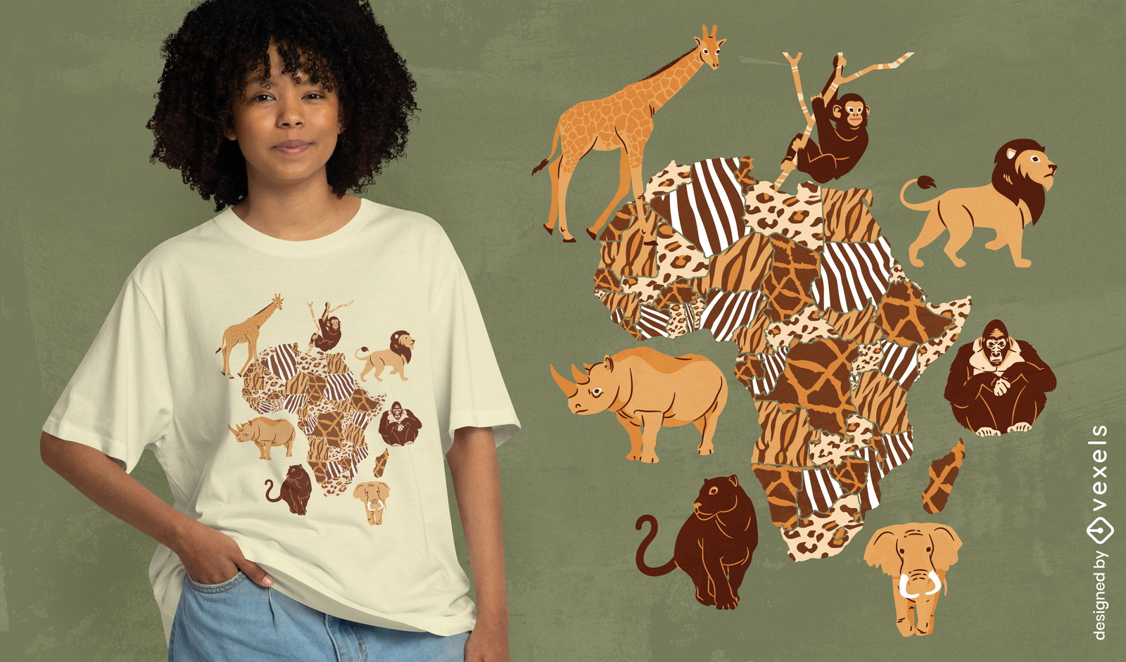
African animals map t-shirt design
Choose a folder
All favorites
Create new
Save
African animals map t-shirt design
Print ready
for Merch
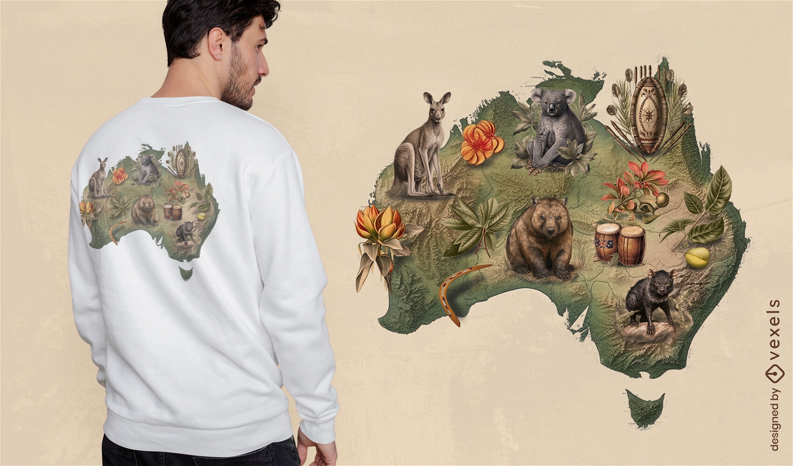
Australian wildlife t-shirt design
Choose a folder
All favorites
Create new
Save
Australian wildlife t-shirt design
Print ready
for Merch
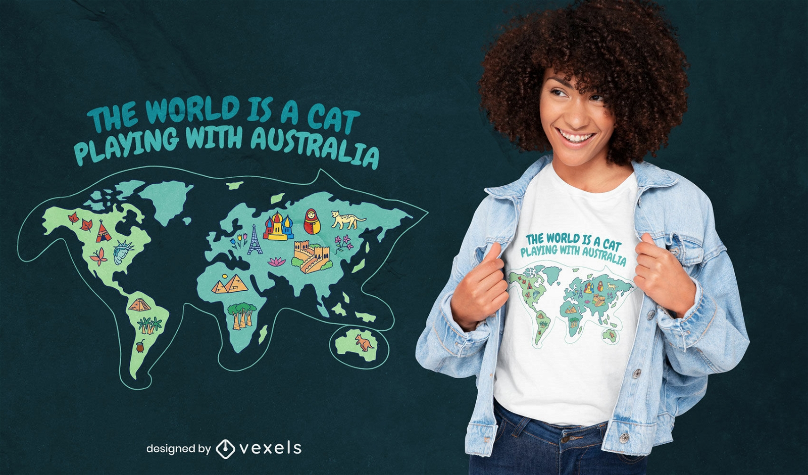
Cat playing with australia t-shirt design
Choose a folder
All favorites
Create new
Save
Cat playing with australia t-shirt design
for Merch
California t-shirt design
Choose a folder
All favorites
Create new
Save
California t-shirt design
Print ready
for Merch
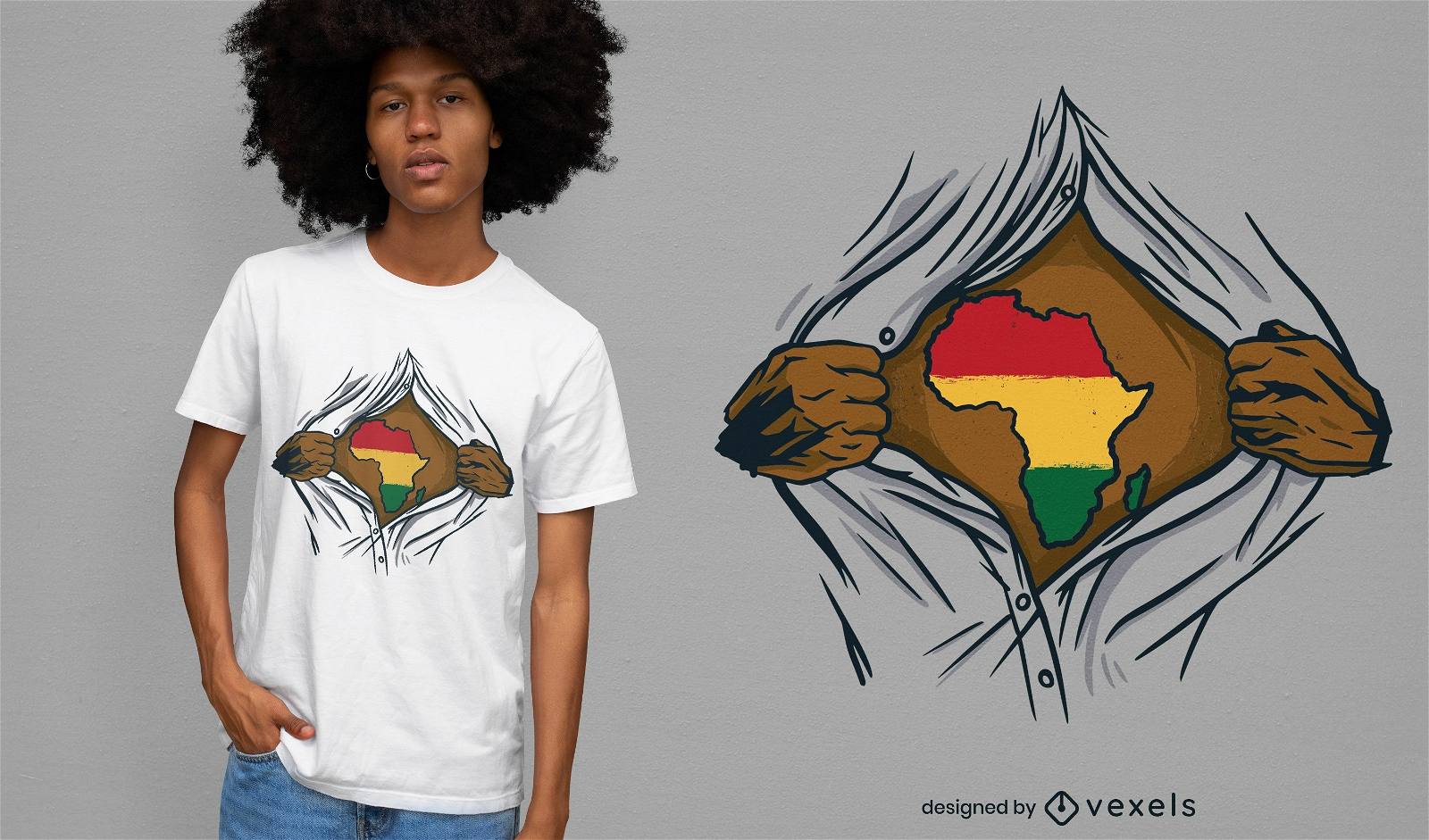
Africa ripped open t-shirt design
Choose a folder
All favorites
Create new
Save
Africa ripped open t-shirt design
Subscribe
To Get High-Quality Commercial Use Designs For Your Business
SEE PLANS
Next
of 36
prev page
next page