Design Library
Explore Designs
New Merch Designs
Trending Merch Designs
Vectors
PNGs & SVGs
Mockups
T-Shirts
T-Shirt PSD Templates
KDP Designs
Phone Cases
Pillows
Tote Bags
Posters
Mugs
Design Tools
Designer
New!
T-shirt Maker
Mockup Generator
Quote Generator
Logo Maker
Resources
Merch Digest
Blog
Help Center
Creators Program
Learn About Merch
Changelog
Pricing
Loading...
Sign Up
Login
PNG
map
Design Library
Explore Designs
New Merch Designs
Trending Merch Designs
Vectors
PNGs & SVGs
Mockups
T-Shirts
T-Shirt PSD Templates
KDP Designs
Phone Cases
Pillows
Tote Bags
Posters
Mugs
Design Tools
Designer
New!
T-shirt Maker
Mockup Generator
Quote Generator
Logo Maker
Resources
Merch Digest
Blog
Help Center
Creators Program
Learn About Merch
Changelog
PLANS
PNG
map
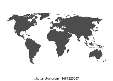
1752 map PNG and SVG Editable Vectors
Download editable map PNG and SVG Vectors with transparent background.
Related:
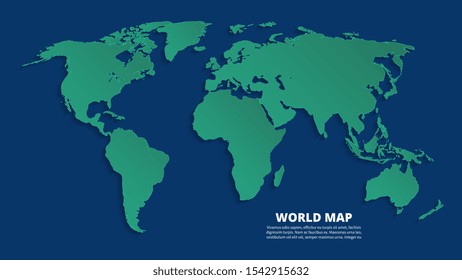
world map
,
map silhouette
Sort by
Most relevant
Sponsored results by
Get 15% off with code: VEXELS15
Show more
×
We didn't find any
map
PNG, but here's all our
map
designs or
request design here
Print ready
for Merch
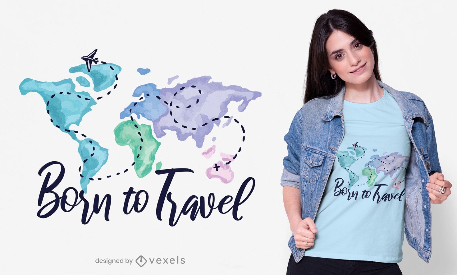
Born to travel t-shirt design
Choose a folder
All favorites
Create new
Save
Born to travel t-shirt design
Editable text
Print ready
for Merch
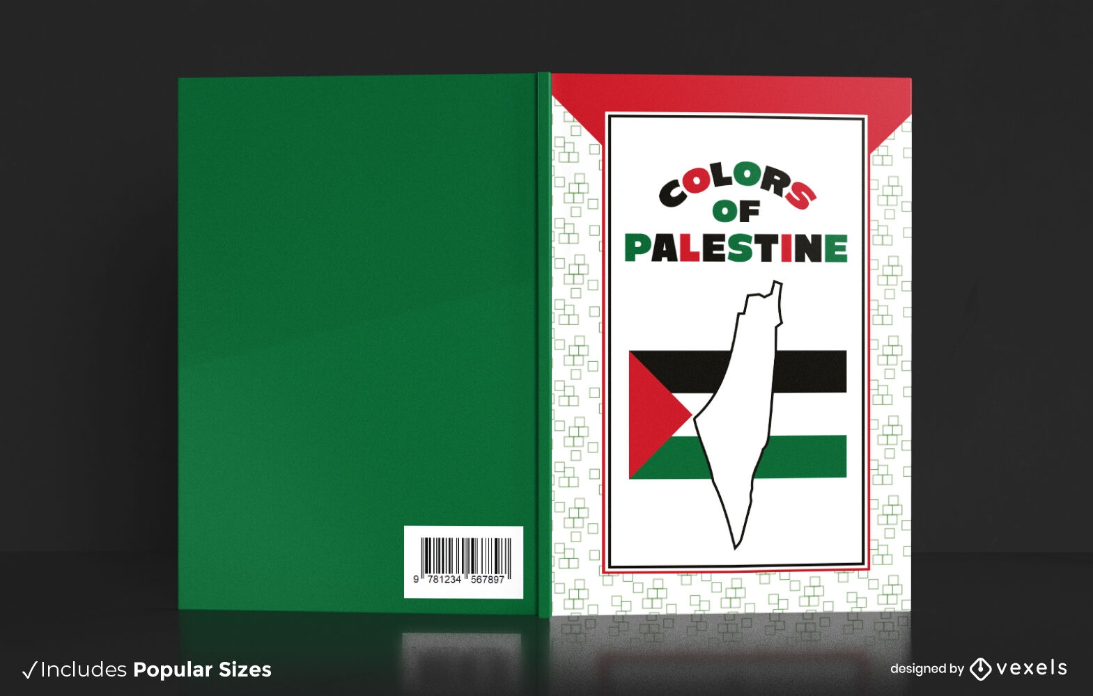
Palestine colors book cover design
Choose a folder
All favorites
Create new
Save
Palestine colors book cover design
Editable text
Print ready
for Merch
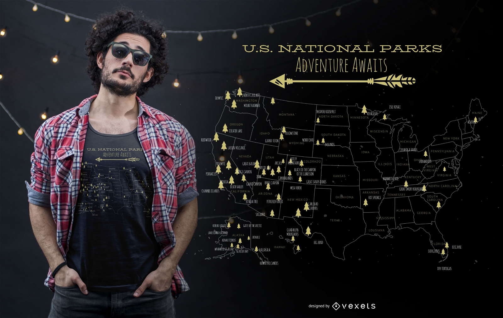
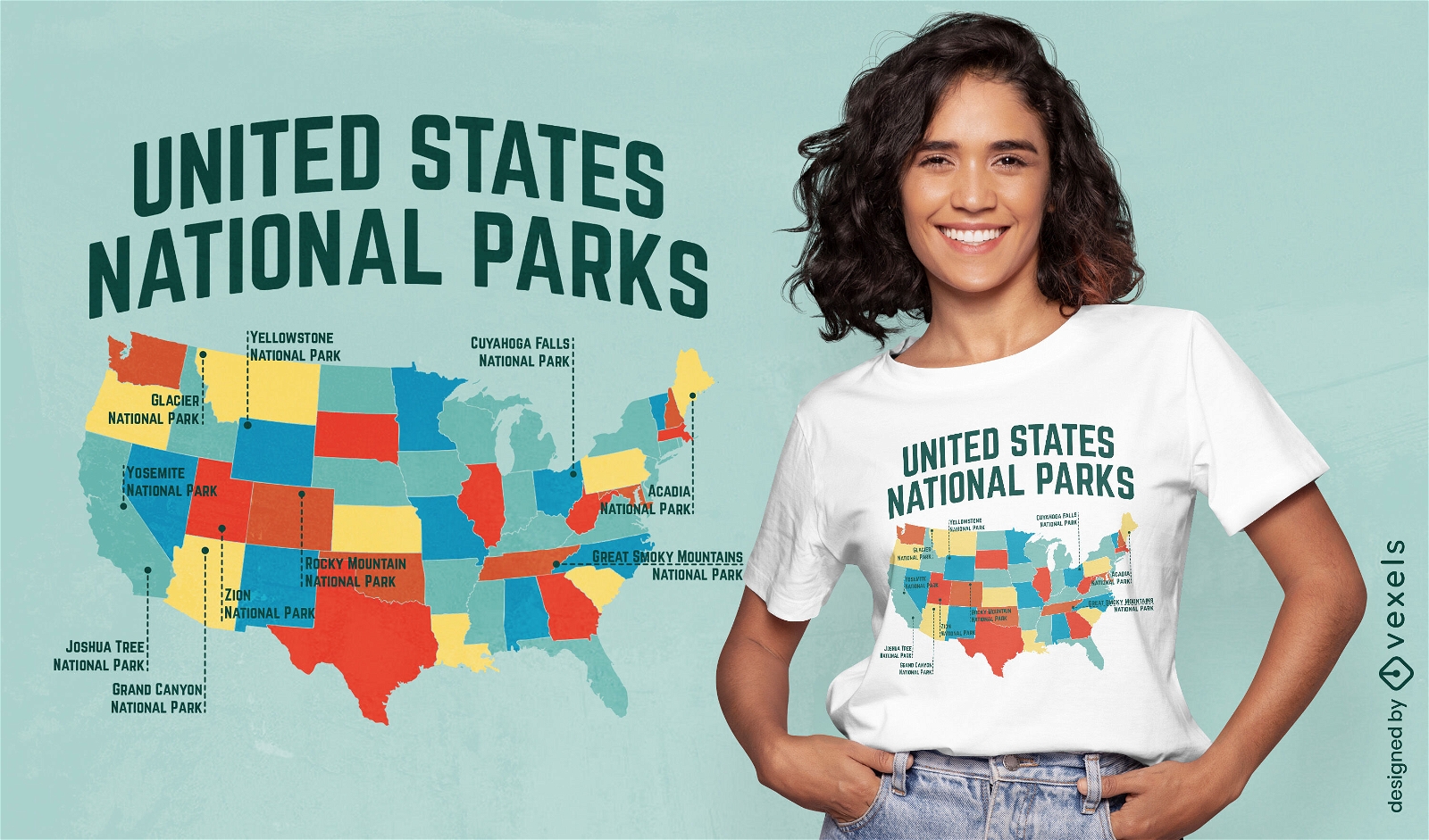
US national parks t-shirt design
Choose a folder
All favorites
Create new
Save
US national parks t-shirt design
Print ready
for Merch
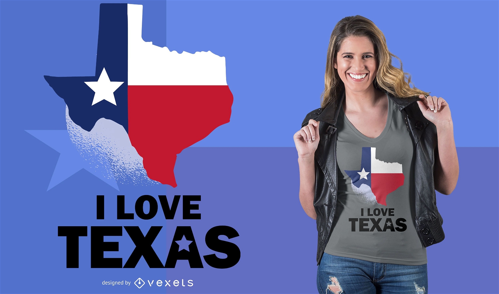
Love Texas T-Shirt Design
Choose a folder
All favorites
Create new
Save
Love Texas T-Shirt Design
German Content
Print ready
for Merch
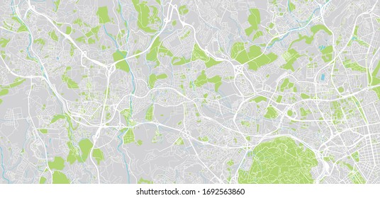
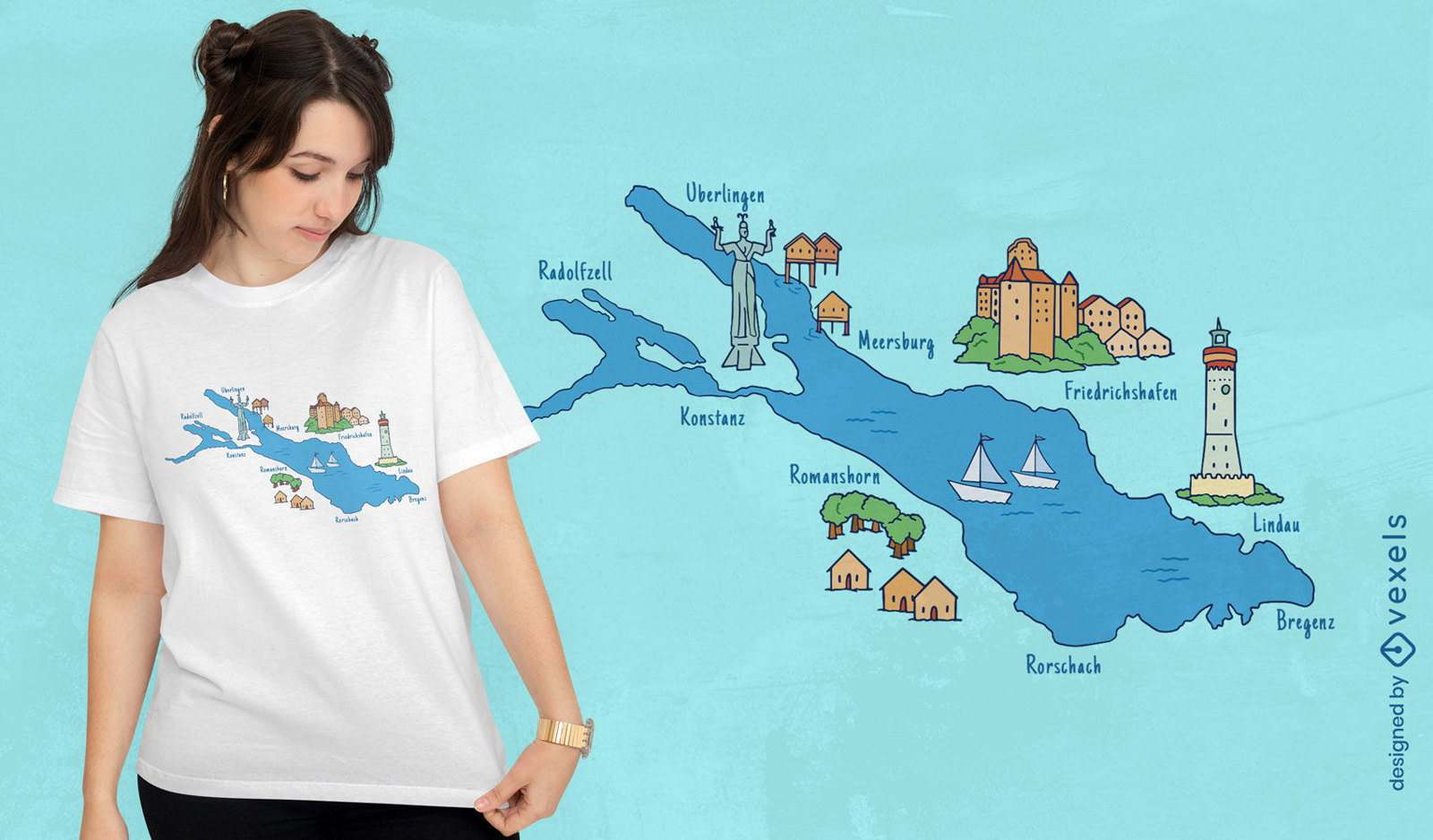
Cities around lake map t-shirt design
Choose a folder
All favorites
Create new
Save
Cities around lake map t-shirt design
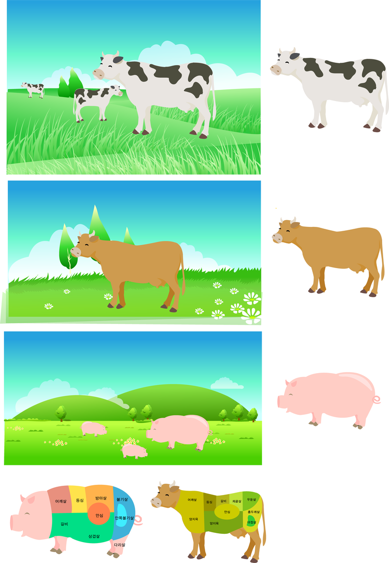
Pork Beef Parts Of The Decomposition Map Vector
Choose a folder
All favorites
Create new
Save
Pork Beef Parts Of The Decomposition Map Vector
Print ready
for Merch
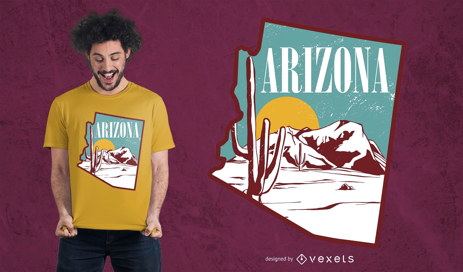
Arizona landscape t-shirt design
Choose a folder
All favorites
Create new
Save
Arizona landscape t-shirt design
Editable text
Print ready
for Merch
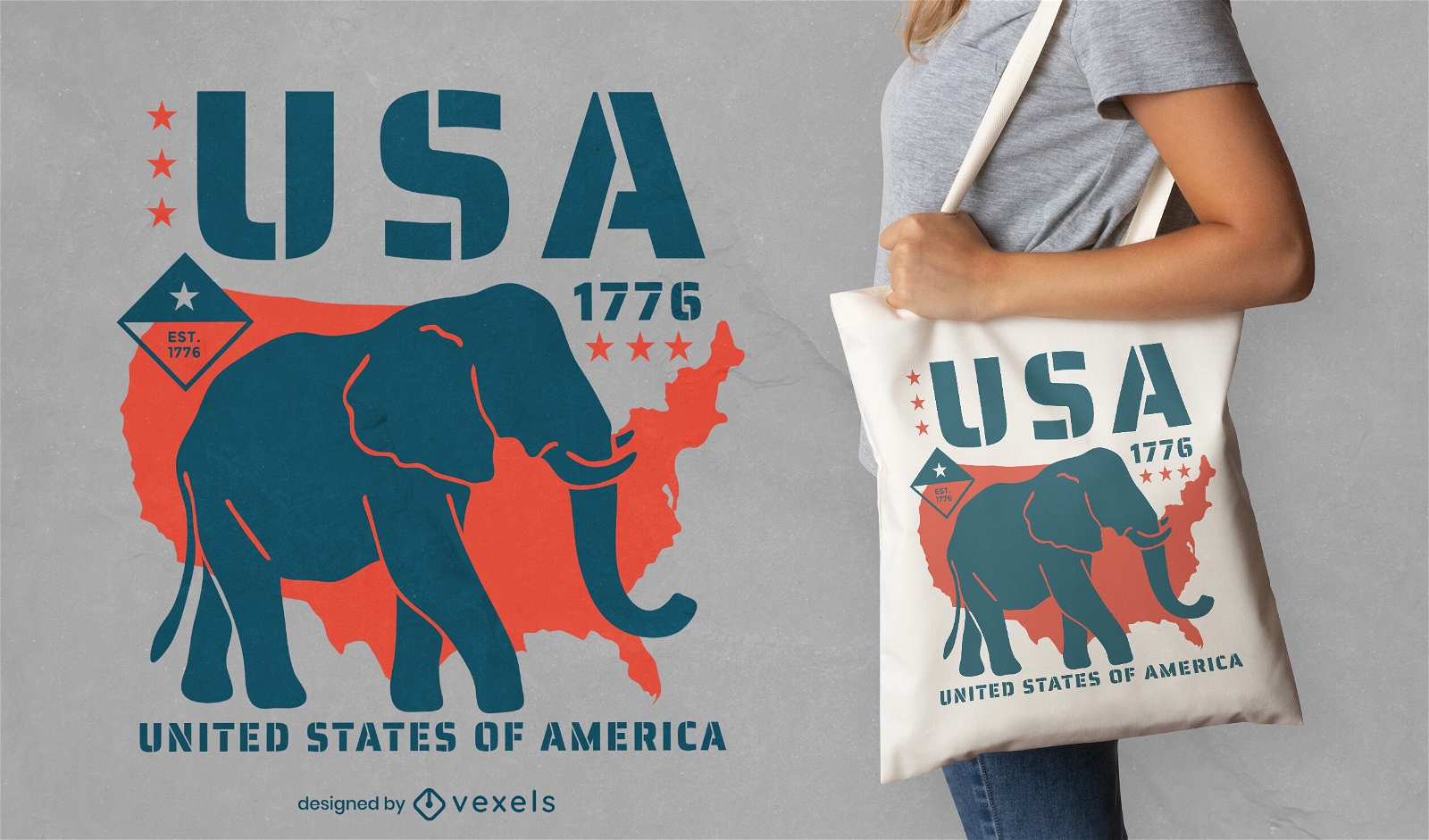
Republican elephant tote bag design
Choose a folder
All favorites
Create new
Save
Republican elephant tote bag design
Print ready
for Merch
Australia flag t-shirt design
Choose a folder
All favorites
Create new
Save
Australia flag t-shirt design
Print ready
for Merch
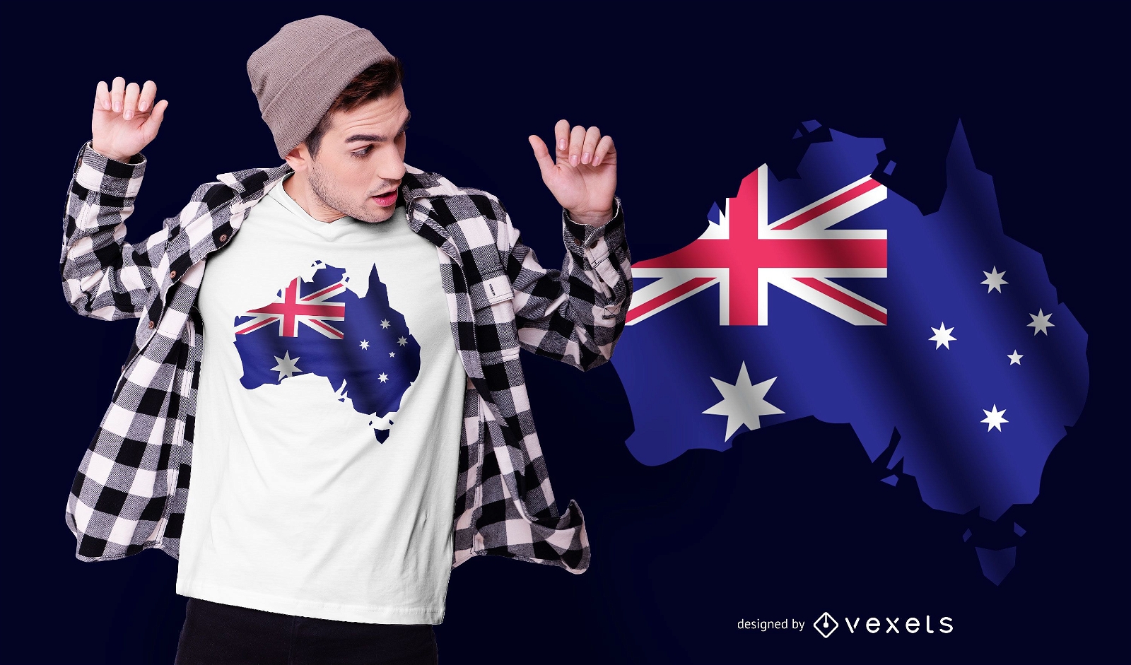
Australian flag and map t-shirt design
Choose a folder
All favorites
Create new
Save
Australian flag and map t-shirt design
Print ready
for Merch
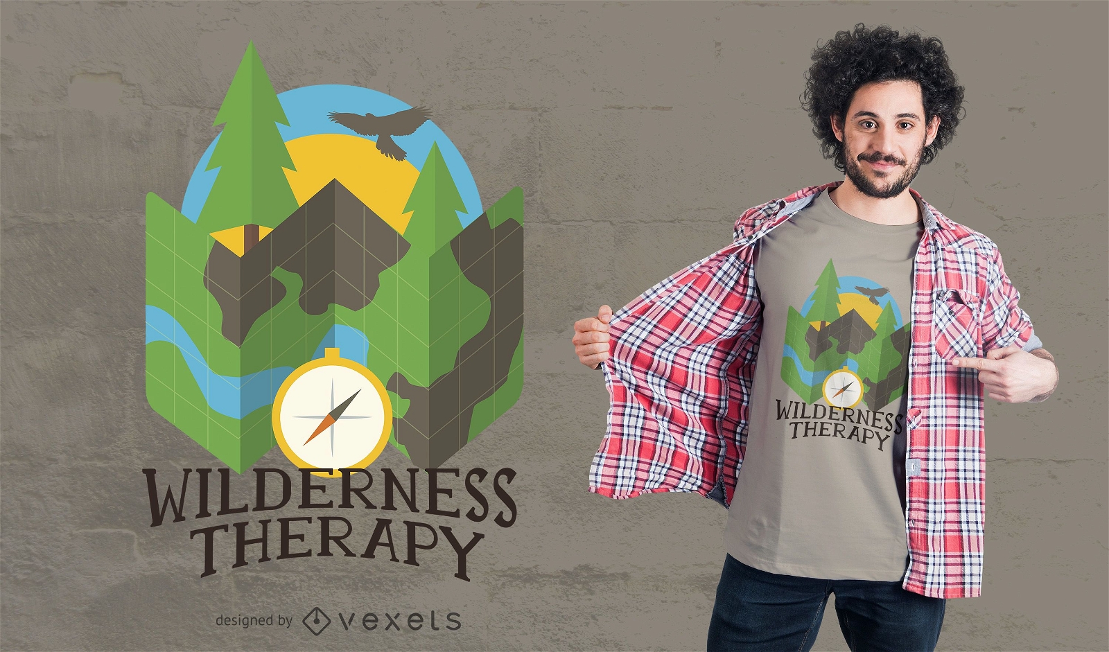
Wilderness Camping T-Shirt Design
Choose a folder
All favorites
Create new
Save
Wilderness Camping T-Shirt Design
for Merch
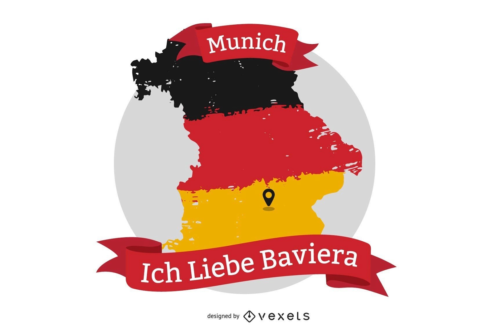
Ich Liebe Baviera t-shirt design
Choose a folder
All favorites
Create new
Save
Ich Liebe Baviera t-shirt design
Editable text
Print ready
for Merch
Adventure national parks t-shirt design
Choose a folder
All favorites
Create new
Save
Adventure national parks t-shirt design
Print ready
for Merch
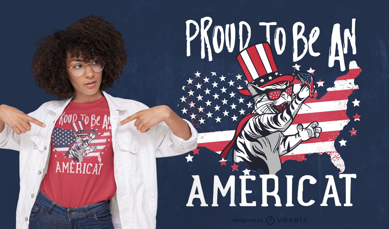
American cat quote t-shirt design
Choose a folder
All favorites
Create new
Save
American cat quote t-shirt design
Print ready
for Merch
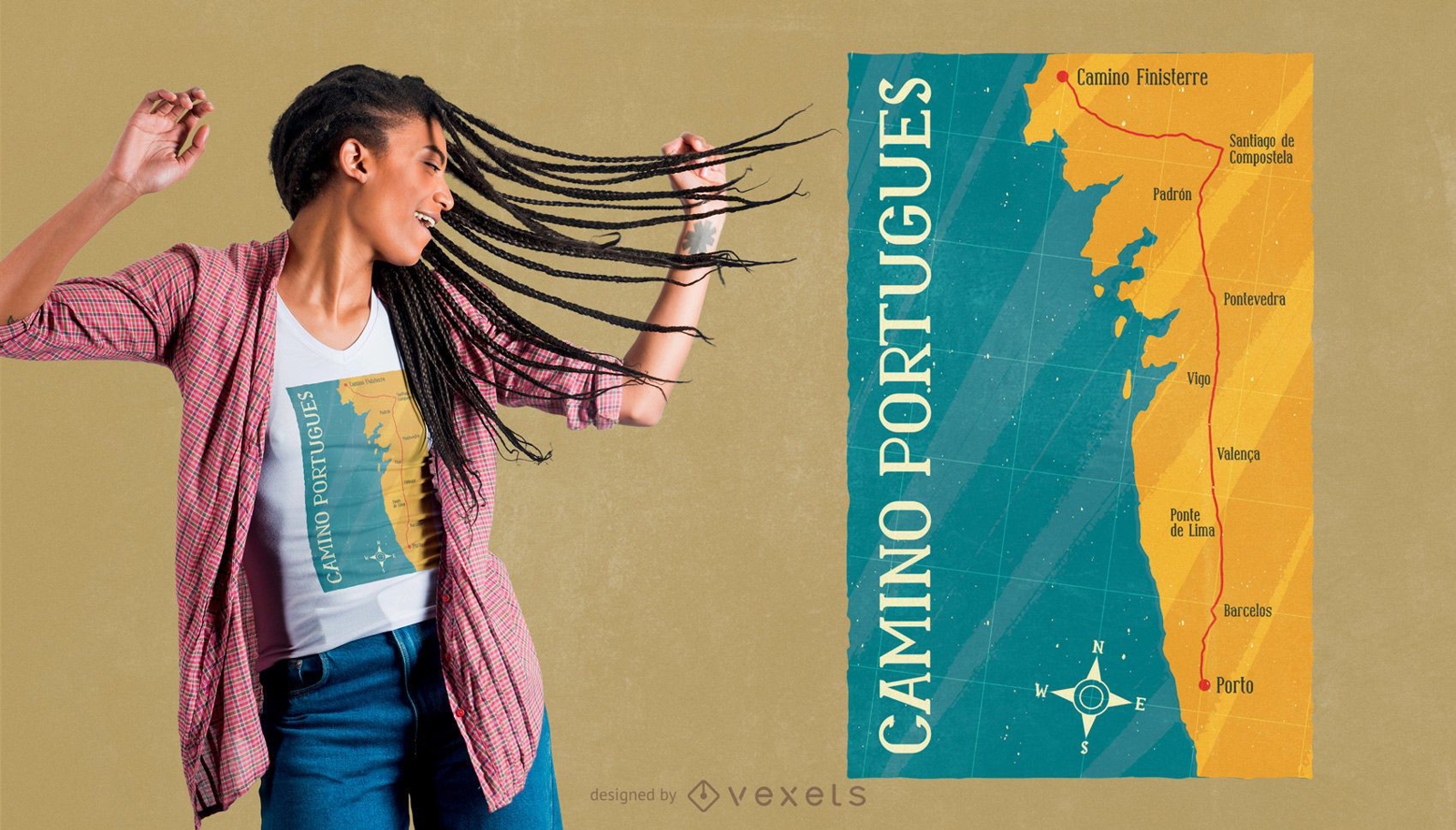
Camino Portugues t-shirt design
Choose a folder
All favorites
Create new
Save
Camino Portugues t-shirt design
Print ready
for Merch
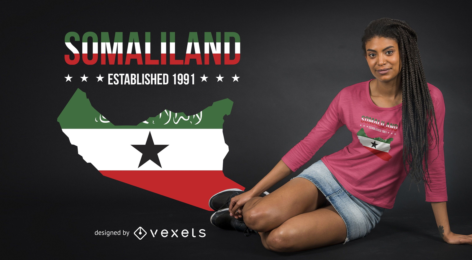
Somaliland T-shirt Design
Choose a folder
All favorites
Create new
Save
Somaliland T-shirt Design
Print ready
for Merch
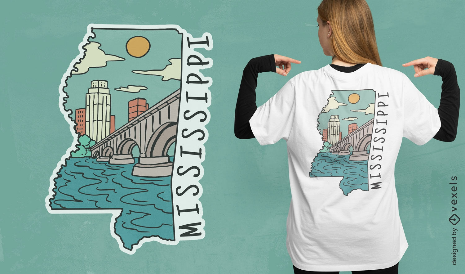
Mississippi state t-shirt design
Choose a folder
All favorites
Create new
Save
Mississippi state t-shirt design
Print ready
for Merch
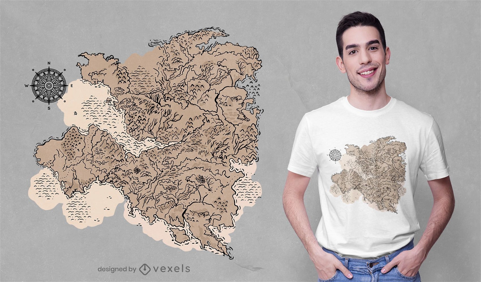
Cartography t-shirt design
Choose a folder
All favorites
Create new
Save
Cartography t-shirt design
Print ready
for Merch
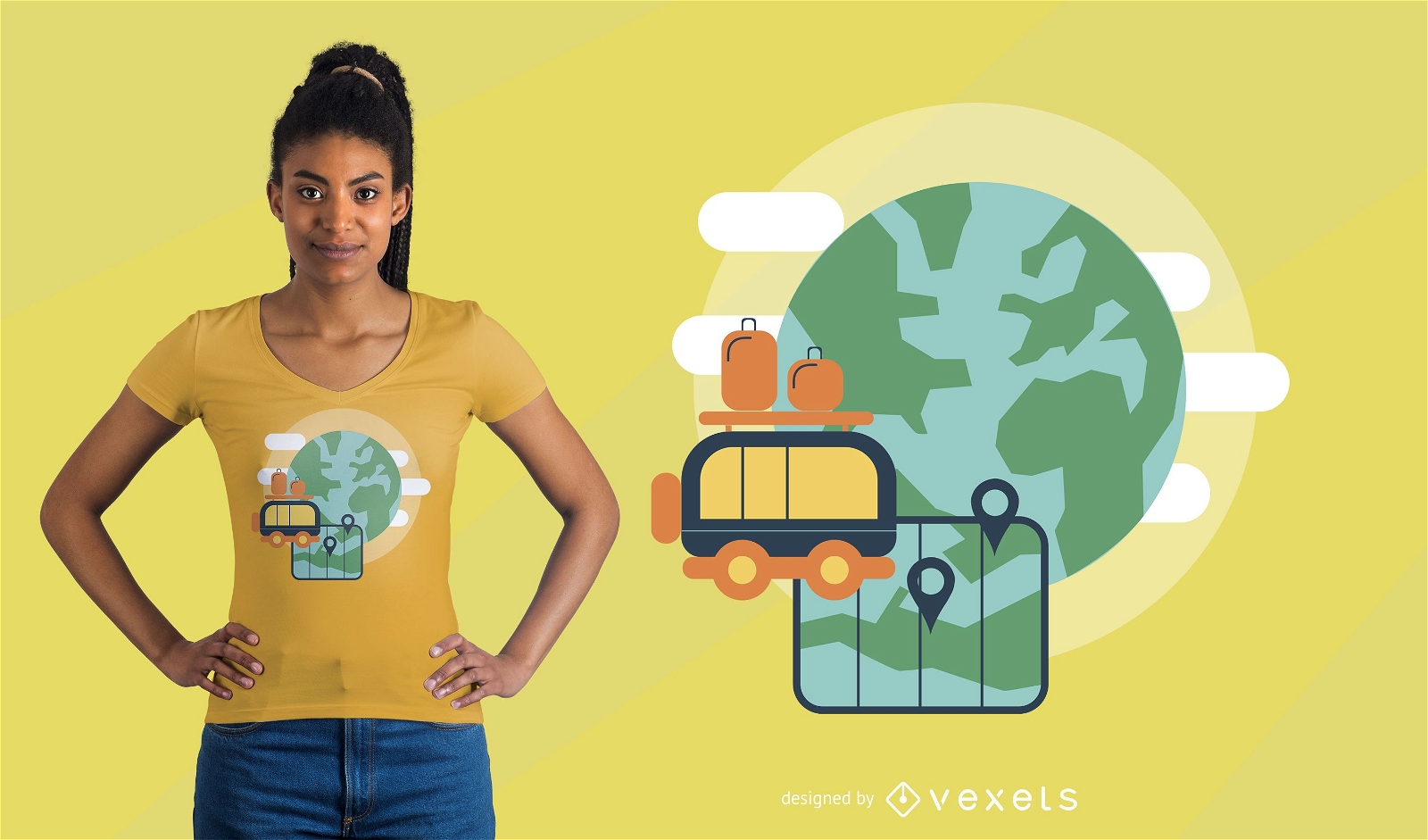
Traveling the world Earth t-shirt design
Choose a folder
All favorites
Create new
Save
Traveling the world Earth t-shirt design
Print ready
for Merch
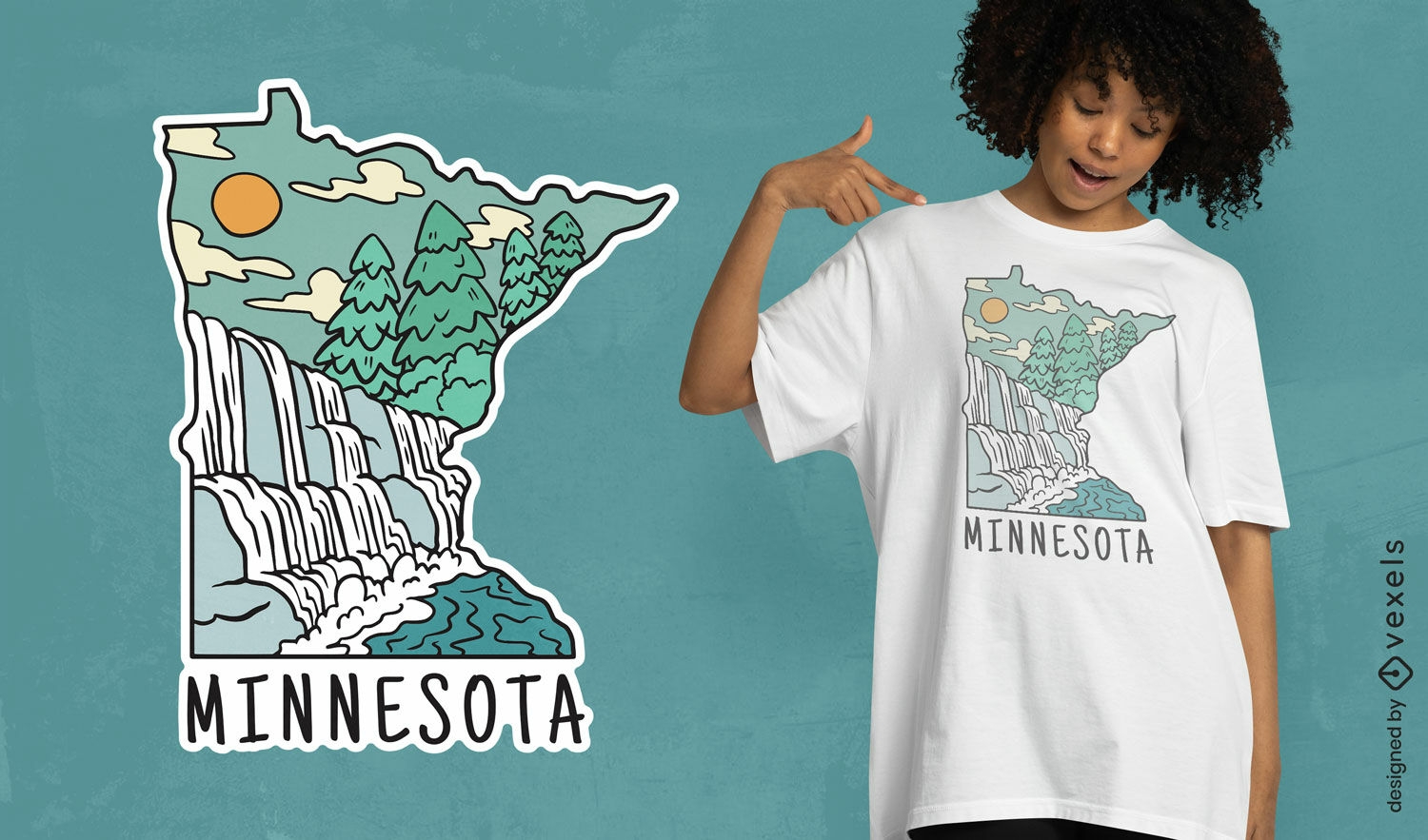
Minnesota landmarks t-shirt design
Choose a folder
All favorites
Create new
Save
Minnesota landmarks t-shirt design
Print ready
for Merch
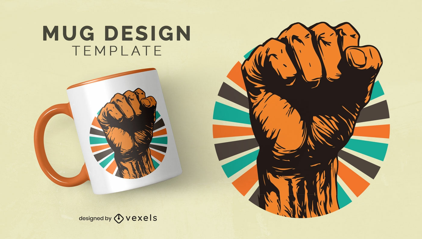
Black history month strength mug design
Choose a folder
All favorites
Create new
Save
Black history month strength mug design
Editable text
Print ready
for Merch
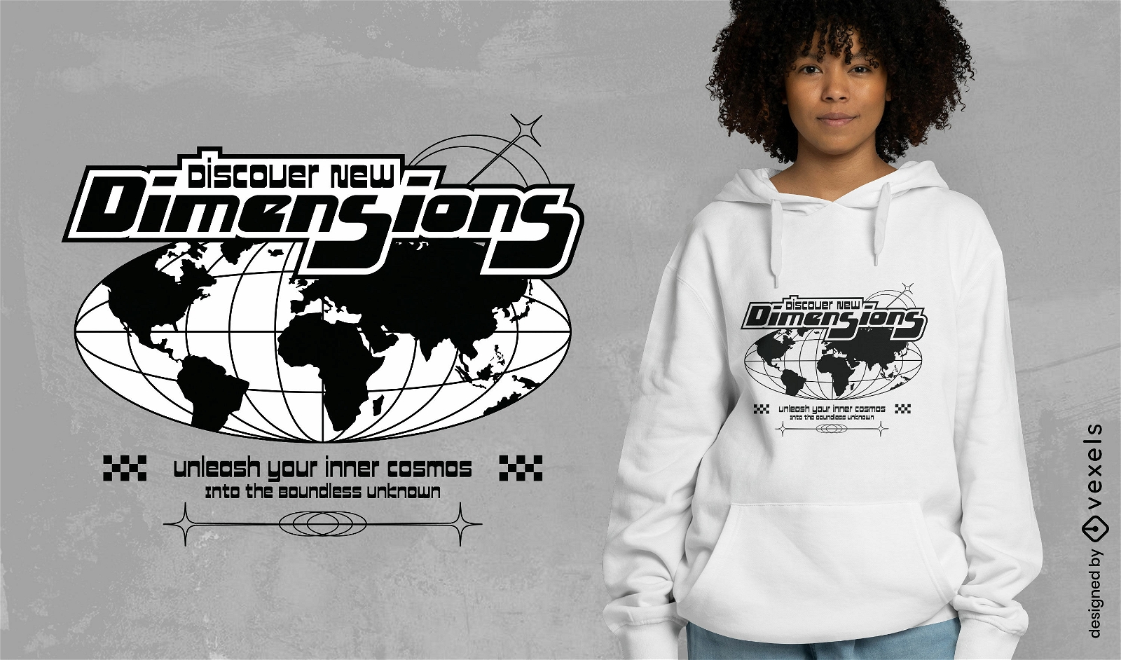
New dimensions t-shirt design
Choose a folder
All favorites
Create new
Save
New dimensions t-shirt design
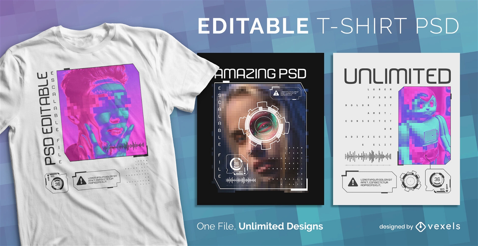
Scalable PSD T-Shirt
for Merch
Digital effects scalable psd t-shirt design
Choose a folder
All favorites
Create new
Save
Digital effects scalable psd t-shirt design
Print ready
for Merch
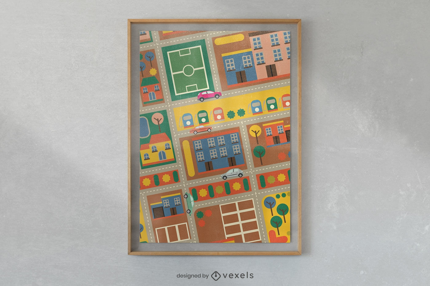
Colorful urban sketch poster design
Choose a folder
All favorites
Create new
Save
Colorful urban sketch poster design
Print ready
for Merch
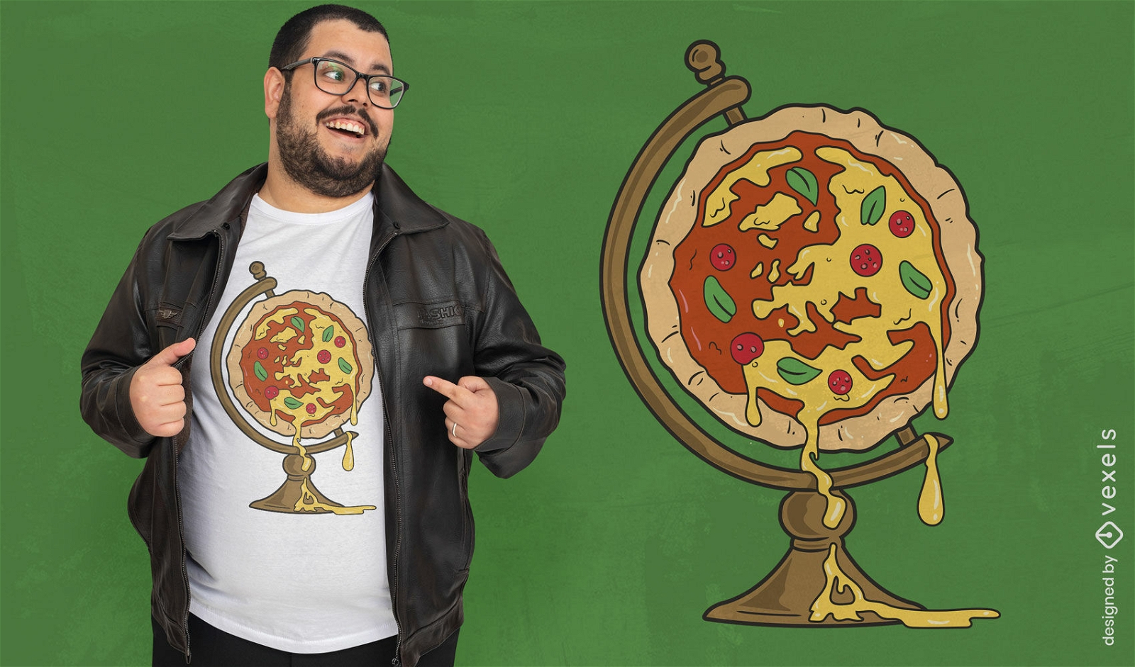
Pizza globe t-shirt design
Choose a folder
All favorites
Create new
Save
Pizza globe t-shirt design
Editable text
Print ready
for Merch
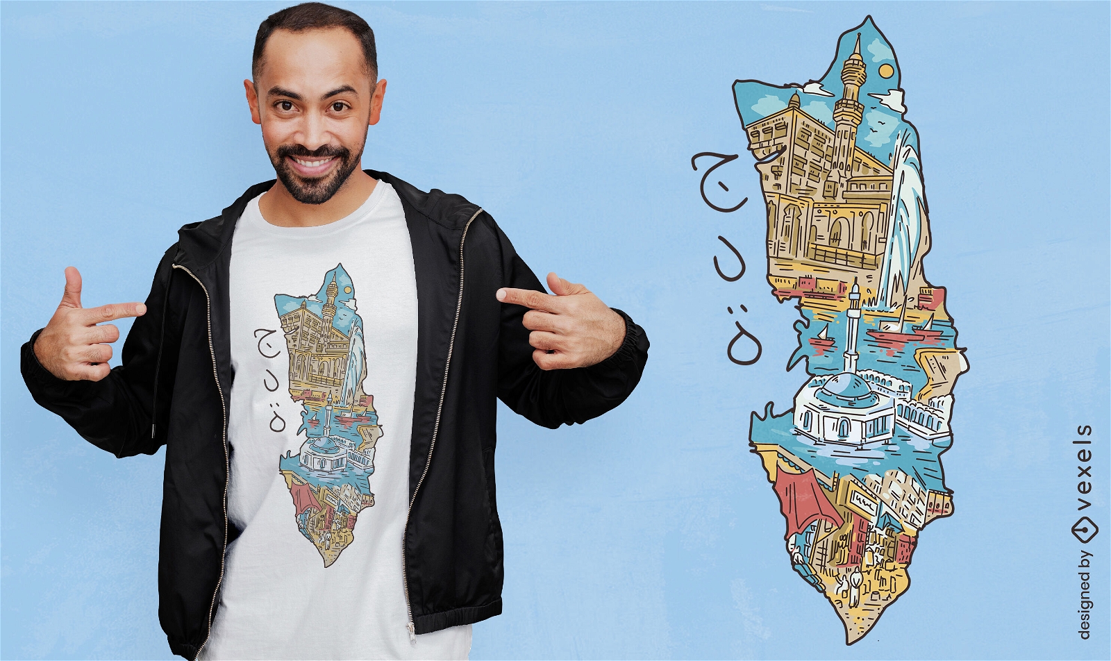
Greek island Corfu t-shirt design
Choose a folder
All favorites
Create new
Save
Greek island Corfu t-shirt design
Print ready
for Merch
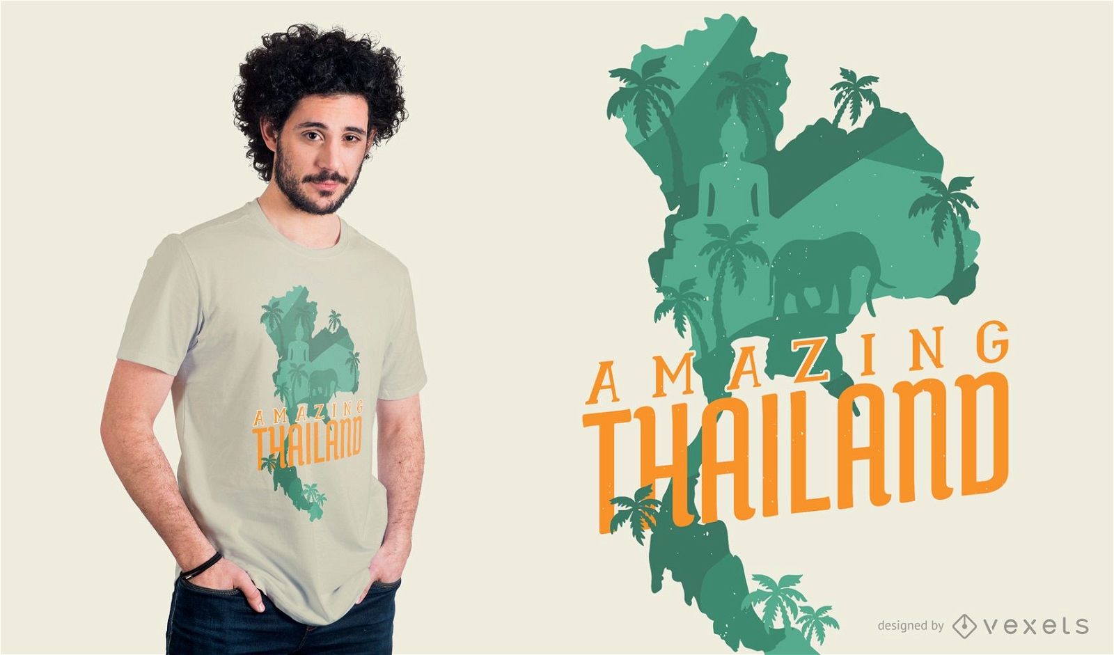
Amazing Thailand T-shirt Design
Choose a folder
All favorites
Create new
Save
Amazing Thailand T-shirt Design
Print ready
for Merch
Saudi Arabia landscape t-shirt design
Choose a folder
All favorites
Create new
Save
Saudi Arabia landscape t-shirt design
Print ready
for Merch
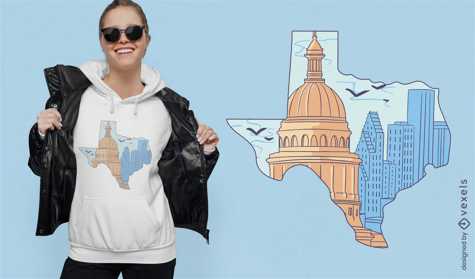
Texas silhouette with buildings t-shirt design
Choose a folder
All favorites
Create new
Save
Texas silhouette with buildings t-shirt design
for Merch
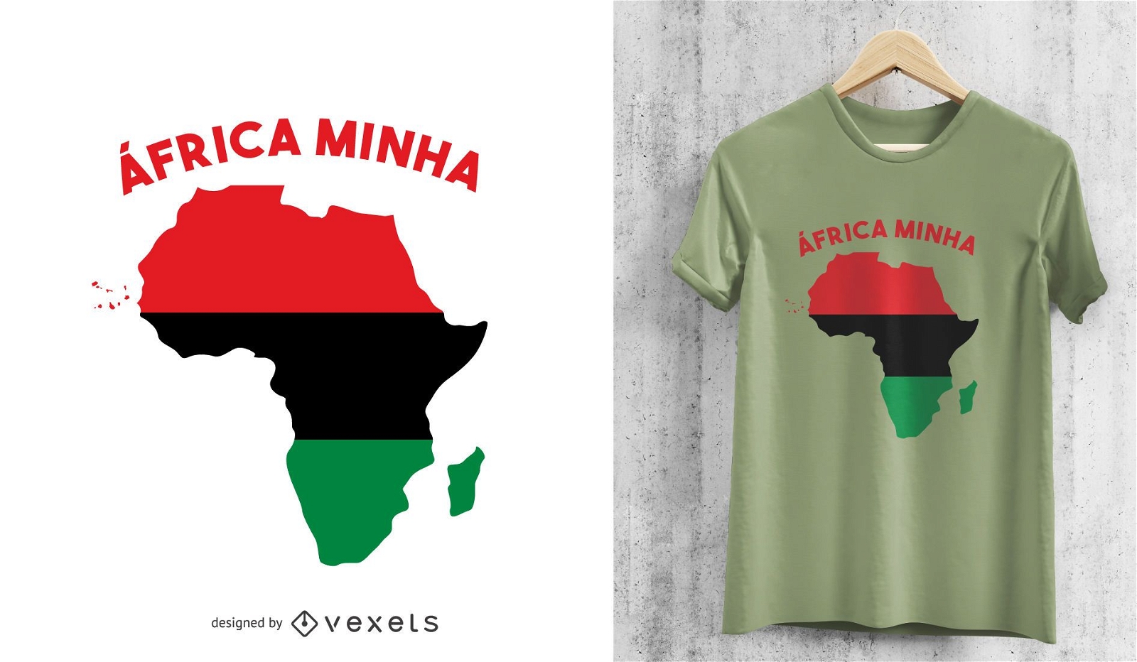
Africa Minha Pan-African Motif T-shirt Design
Choose a folder
All favorites
Create new
Save
Africa Minha Pan-African Motif T-shirt Design
Print ready
for Merch
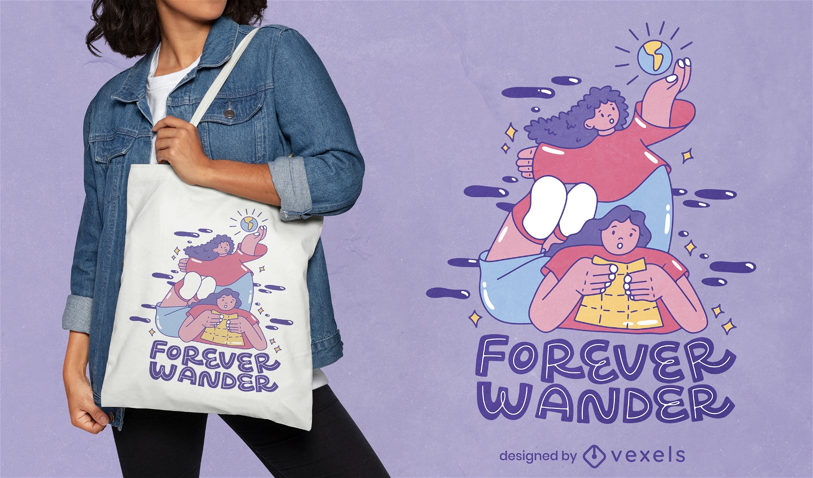
Wanderlust women tote bag design
Choose a folder
All favorites
Create new
Save
Wanderlust women tote bag design
Print ready
for Merch
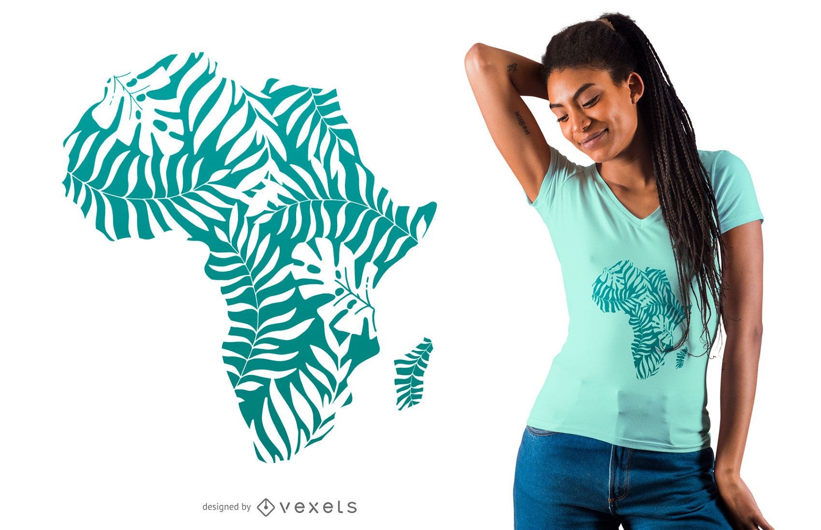
Tropical leaves africa t-shirt design
Choose a folder
All favorites
Create new
Save
Tropical leaves africa t-shirt design
Print ready
for Merch
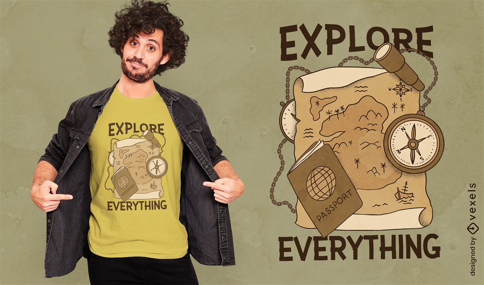
Explore sepia t-shirt design
Choose a folder
All favorites
Create new
Save
Explore sepia t-shirt design
Print ready
for Merch
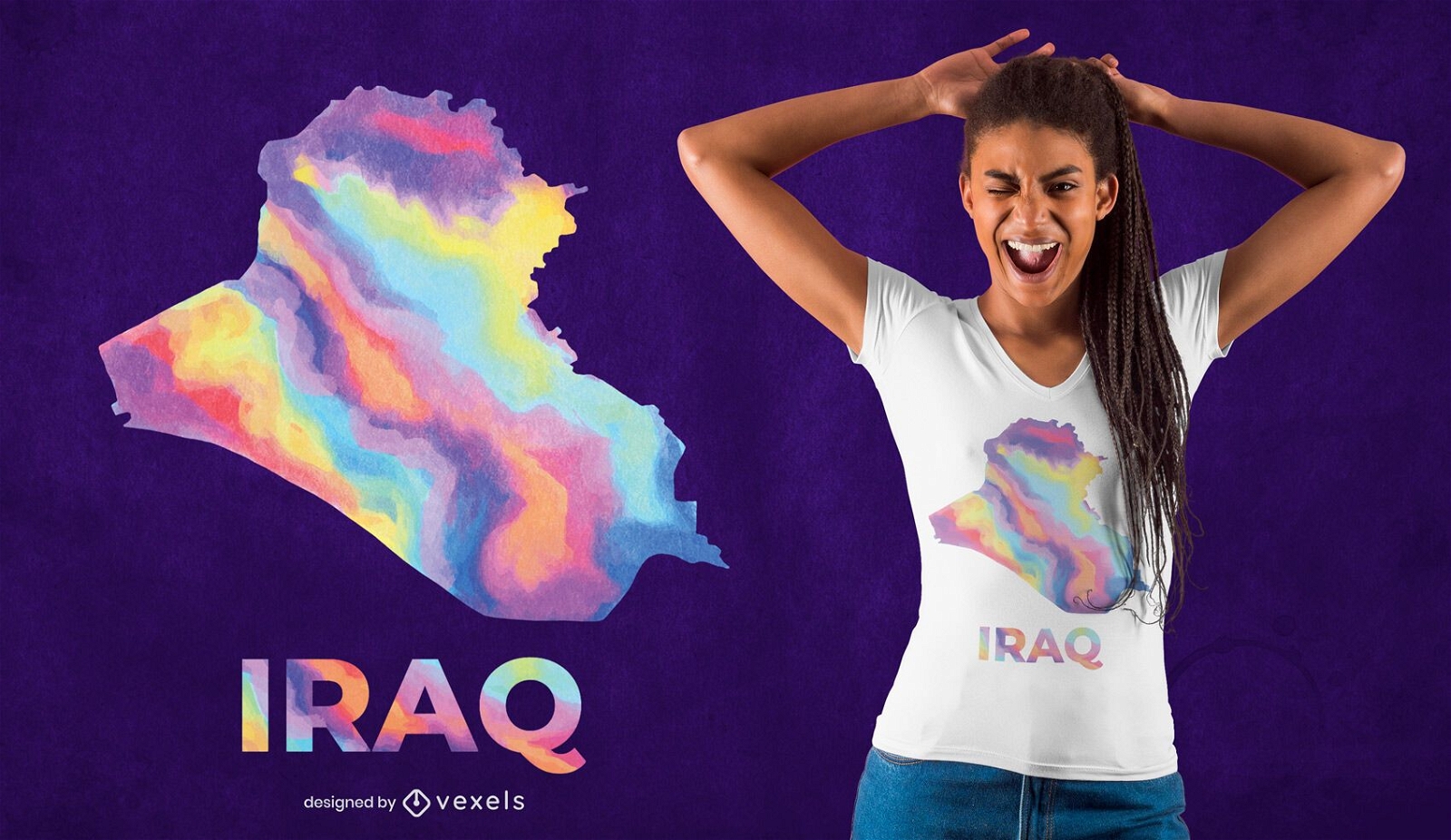
Iraq watercolor country t-shirt design
Choose a folder
All favorites
Create new
Save
Iraq watercolor country t-shirt design
Print ready
for Merch
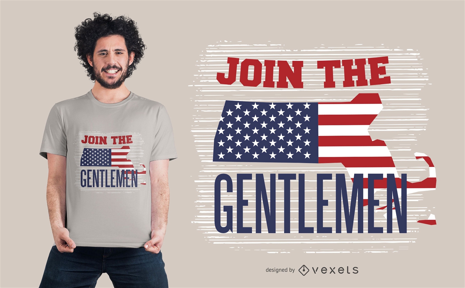
American gentlemen t-shirt design
Choose a folder
All favorites
Create new
Save
American gentlemen t-shirt design
for Merch
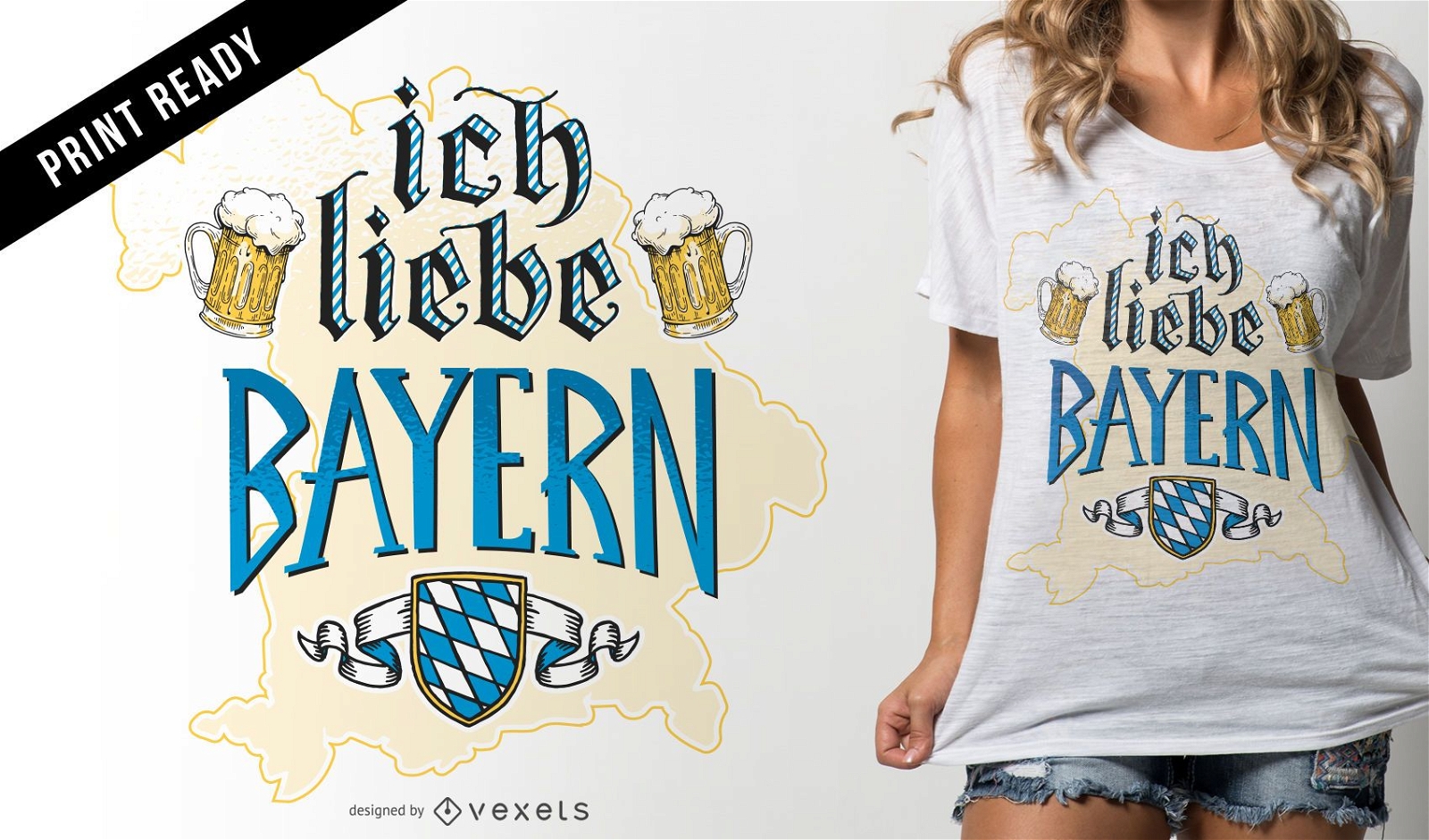
Ich liebe Bayern t-shirt design
Choose a folder
All favorites
Create new
Save
Ich liebe Bayern t-shirt design
Print ready
for Merch
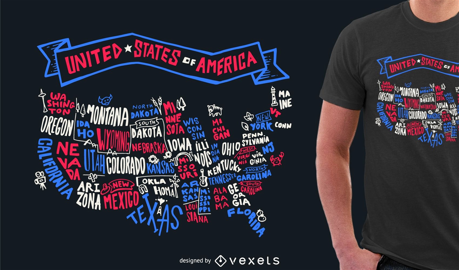
USA lettering tshirt design
Choose a folder
All favorites
Create new
Save
USA lettering tshirt design
for Merch
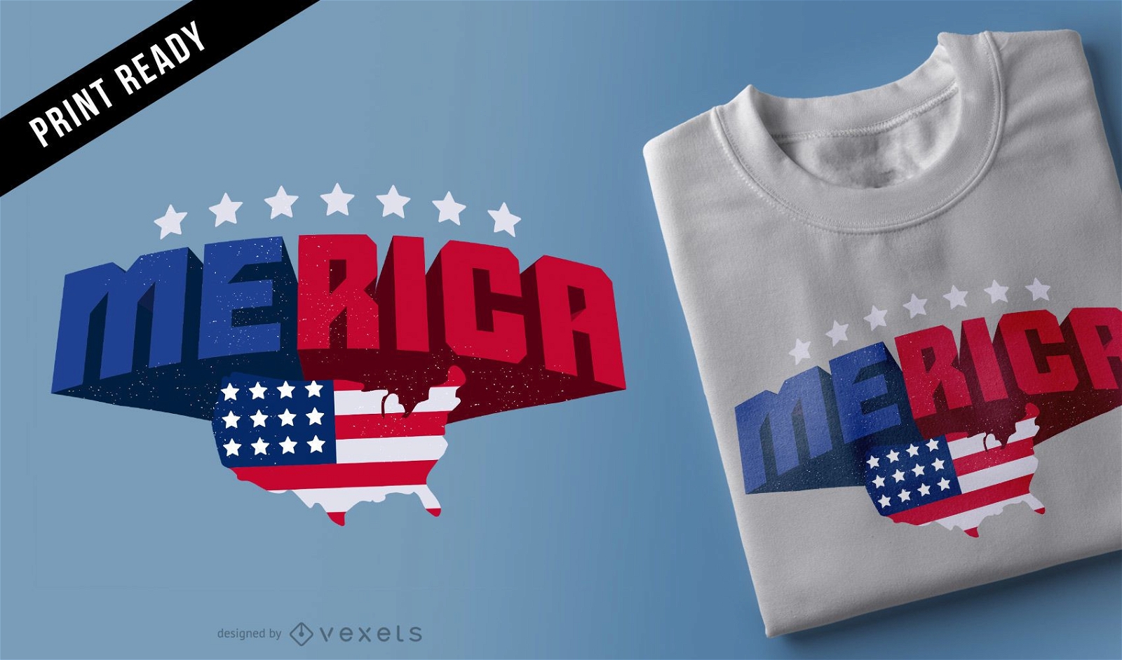
Merica t-shirt design
Choose a folder
All favorites
Create new
Save
Merica t-shirt design
Painting Part Of The Chen Changshou Edition
Choose a folder
All favorites
Create new
Save
Painting Part Of The Chen Changshou Edition
Print ready
for Merch
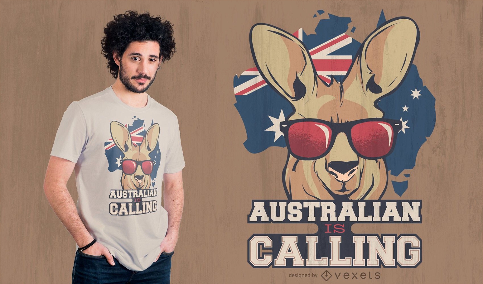
Australian Kangaroo Quote T-shirt Design
Choose a folder
All favorites
Create new
Save
Australian Kangaroo Quote T-shirt Design
for Merch
American flag eagle t-shirt design
Choose a folder
All favorites
Create new
Save
American flag eagle t-shirt design
German Content
Print ready
for Merch
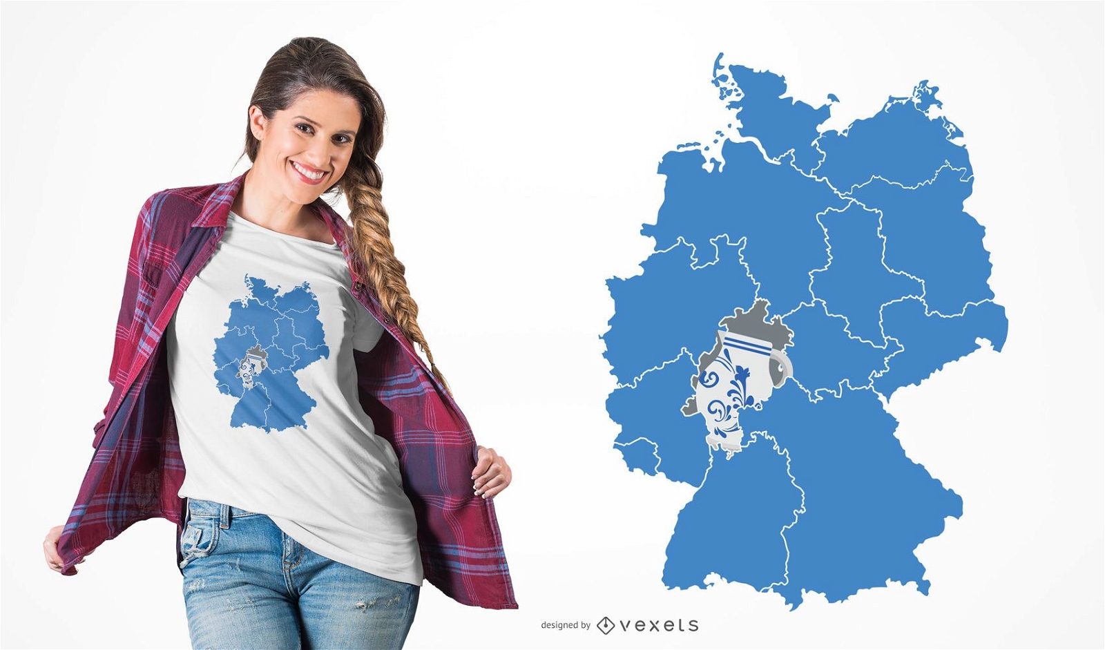
Hessen Pottery T-shirt Design
Choose a folder
All favorites
Create new
Save
Hessen Pottery T-shirt Design
for Merch
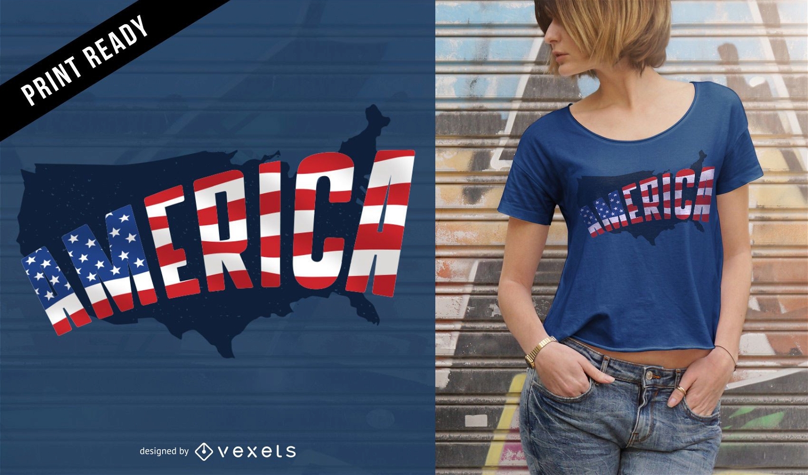
America t-shirt design
Choose a folder
All favorites
Create new
Save
America t-shirt design
Abstract And Colourful
Choose a folder
All favorites
Create new
Save
Abstract And Colourful
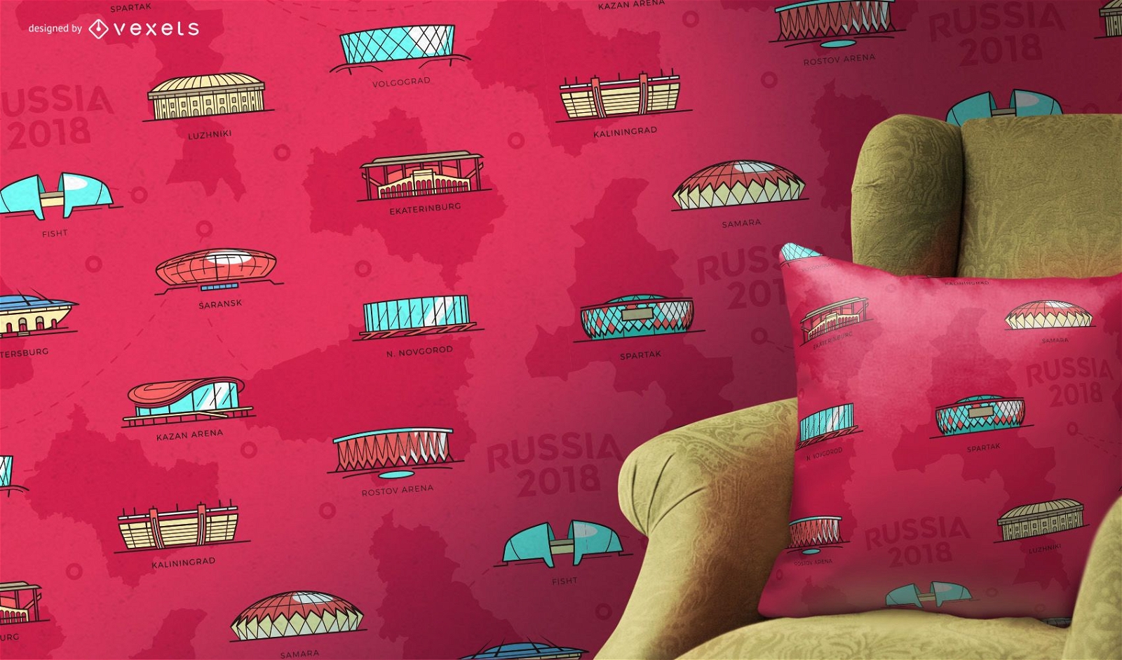
Russia 2018 stadiums pattern
Choose a folder
All favorites
Create new
Save
Russia 2018 stadiums pattern
for Merch
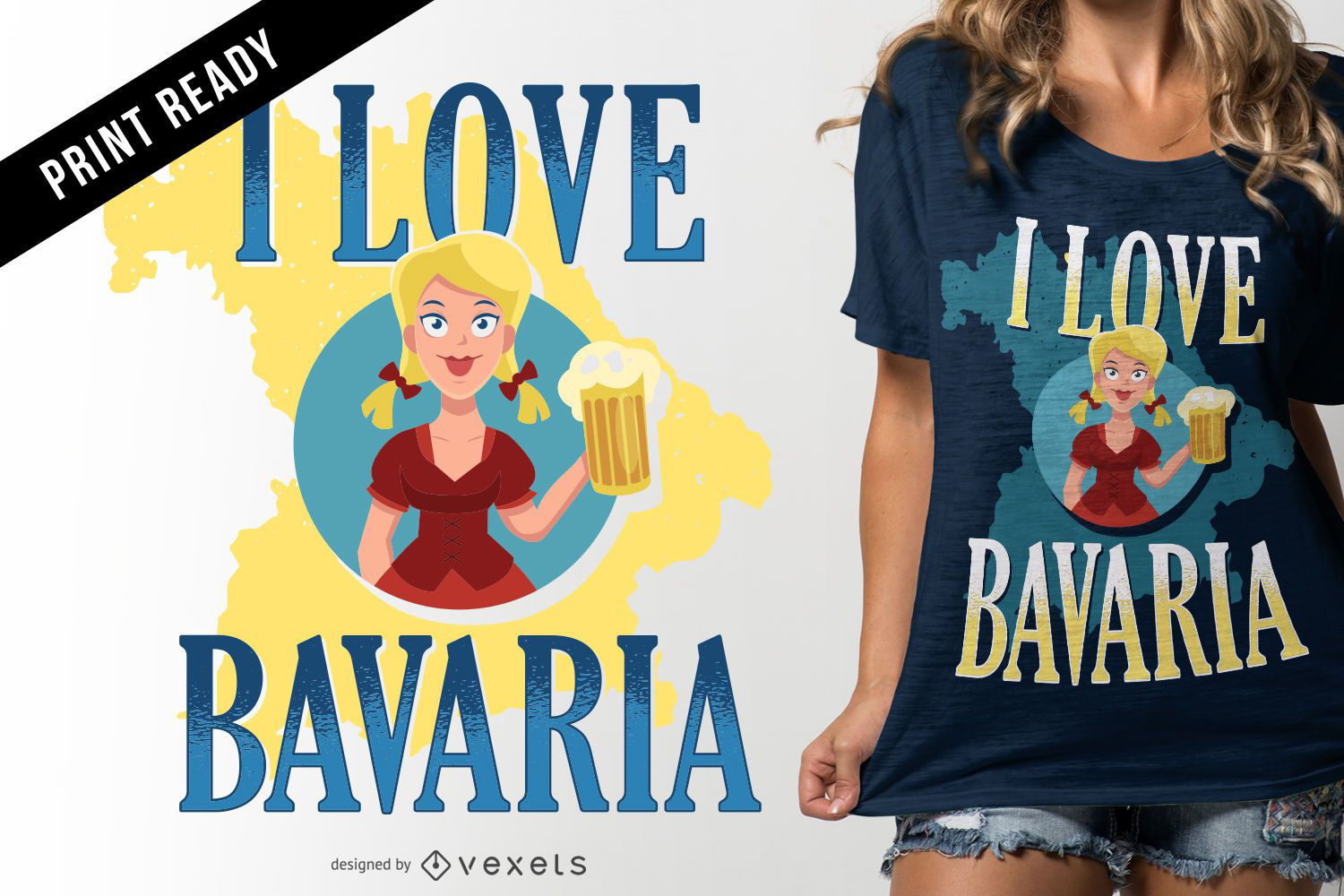
I love Bavaria t-shirt design
Choose a folder
All favorites
Create new
Save
I love Bavaria t-shirt design
Print ready
for Merch
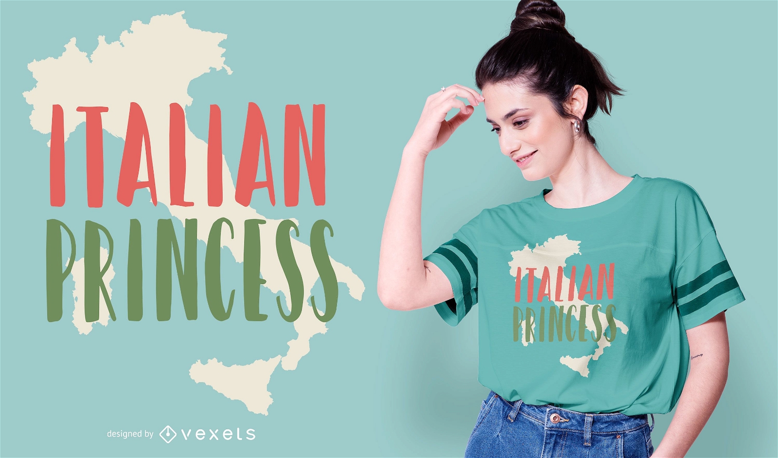
Italian Princess Quote T-shirt Design
Choose a folder
All favorites
Create new
Save
Italian Princess Quote T-shirt Design
Editable text
Print ready
for Merch
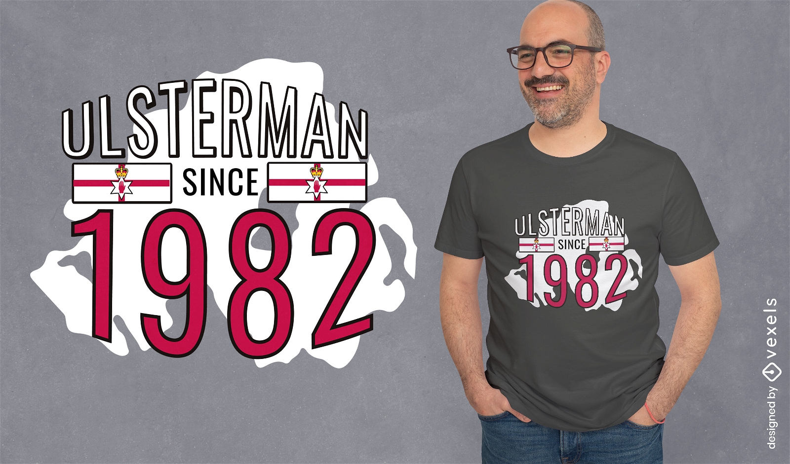
Irish birthday quote t-shirt design
Choose a folder
All favorites
Create new
Save
Irish birthday quote t-shirt design
Editable text
Print ready
for Merch
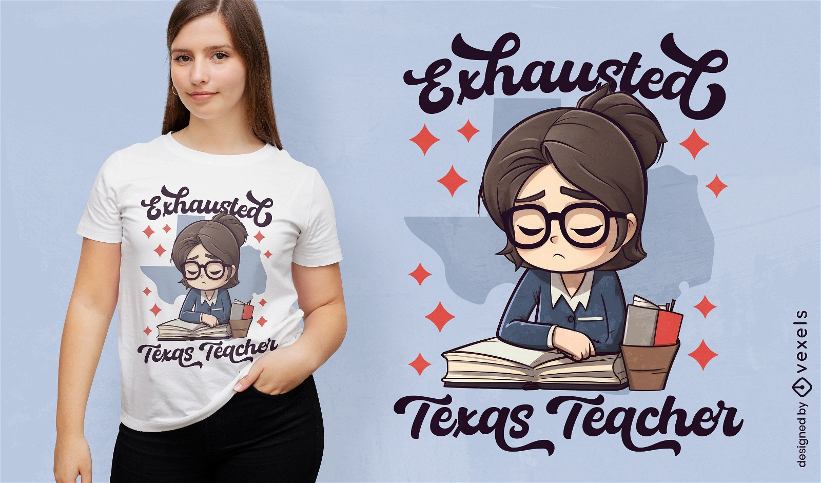
Tired teacher in Texas t-shirt design
Choose a folder
All favorites
Create new
Save
Tired teacher in Texas t-shirt design
Print ready
for Merch
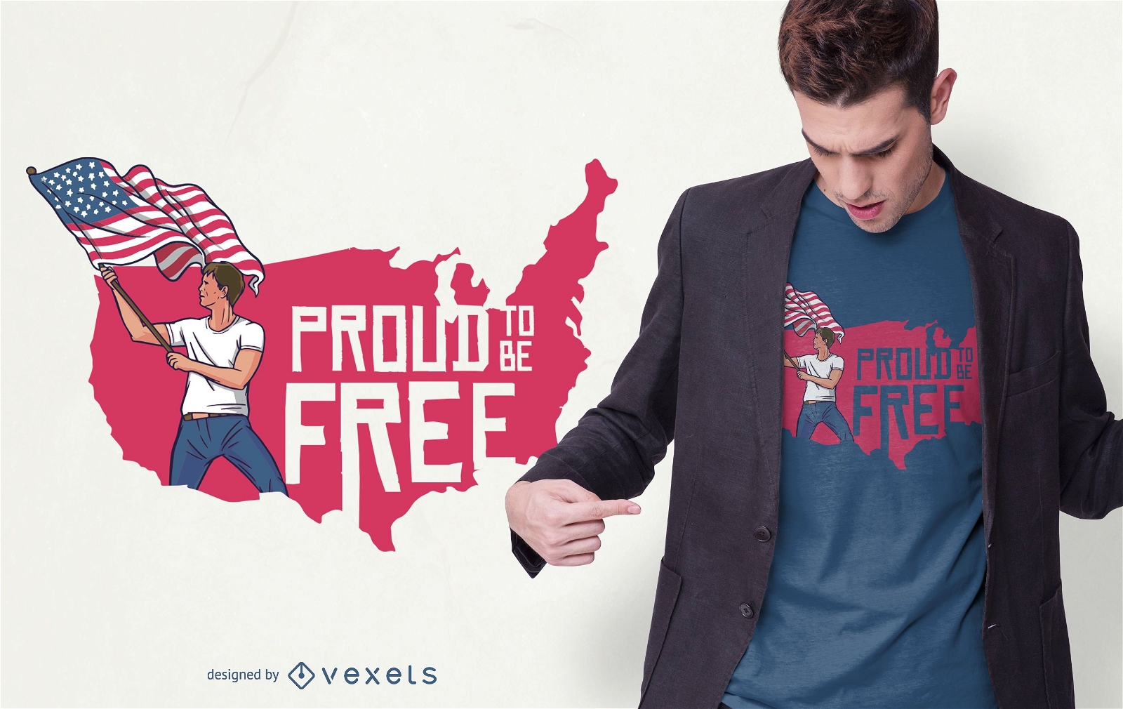
Freedom Pride T-shirt Design
Choose a folder
All favorites
Create new
Save
Freedom Pride T-shirt Design
Subscribe
To Get High-Quality Commercial Use Designs For Your Business
SEE PLANS
Next
of 36
prev page
next page