Design Library
Explore Designs
New Merch Designs
Trending Merch Designs
Vectors
PNGs & SVGs
Mockups
T-Shirts
T-Shirt PSD Templates
KDP Designs
Phone Cases
Pillows
Tote Bags
Posters
Mugs
Design Tools
Designer
New!
T-shirt Maker
Mockup Generator
Quote Generator
Logo Maker
Resources
Merch Digest
Blog
Help Center
Creators Program
Learn About Merch
Changelog
Pricing
Loading...
Sign Up
Login
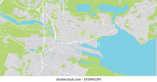
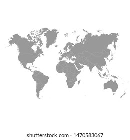
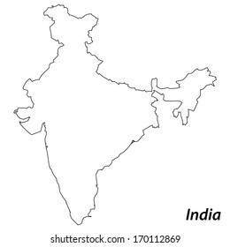
PNG
map
Design Library
Explore Designs
New Merch Designs
Trending Merch Designs
Vectors
PNGs & SVGs
Mockups
T-Shirts
T-Shirt PSD Templates
KDP Designs
Phone Cases
Pillows
Tote Bags
Posters
Mugs
Design Tools
Designer
New!
T-shirt Maker
Mockup Generator
Quote Generator
Logo Maker
Resources
Merch Digest
Blog
Help Center
Creators Program
Learn About Merch
Changelog
PLANS
PNG
map
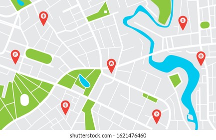
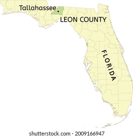
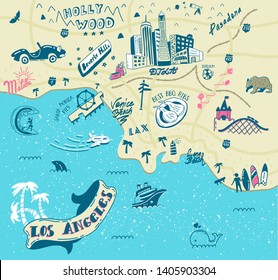
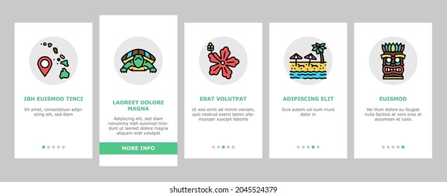
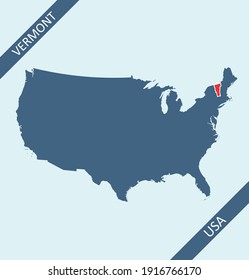
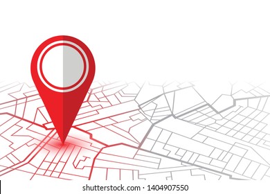
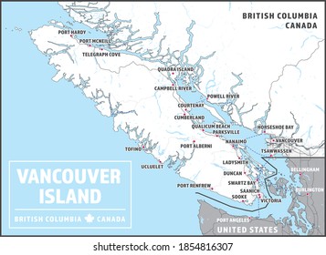
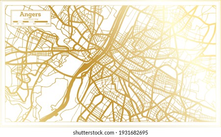
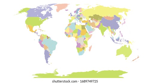
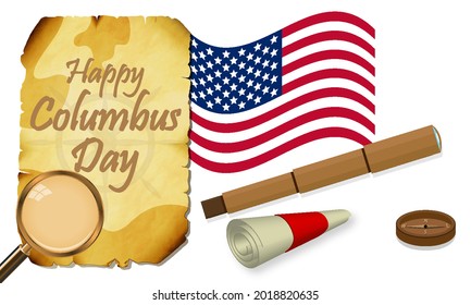
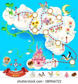
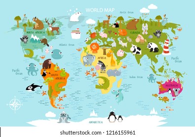
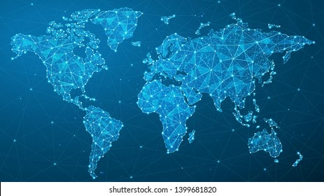
1752 map PNG and SVG Editable Vectors
Download editable map PNG and SVG Vectors with transparent background.
Related:
world map
,
map silhouette
Sort by
Most relevant
Sponsored results by
Get 15% off with code: VEXELS15
Show more
×
We didn't find any
map
PNG, but here's all our
map
designs or
request design here
Print ready
for Merch
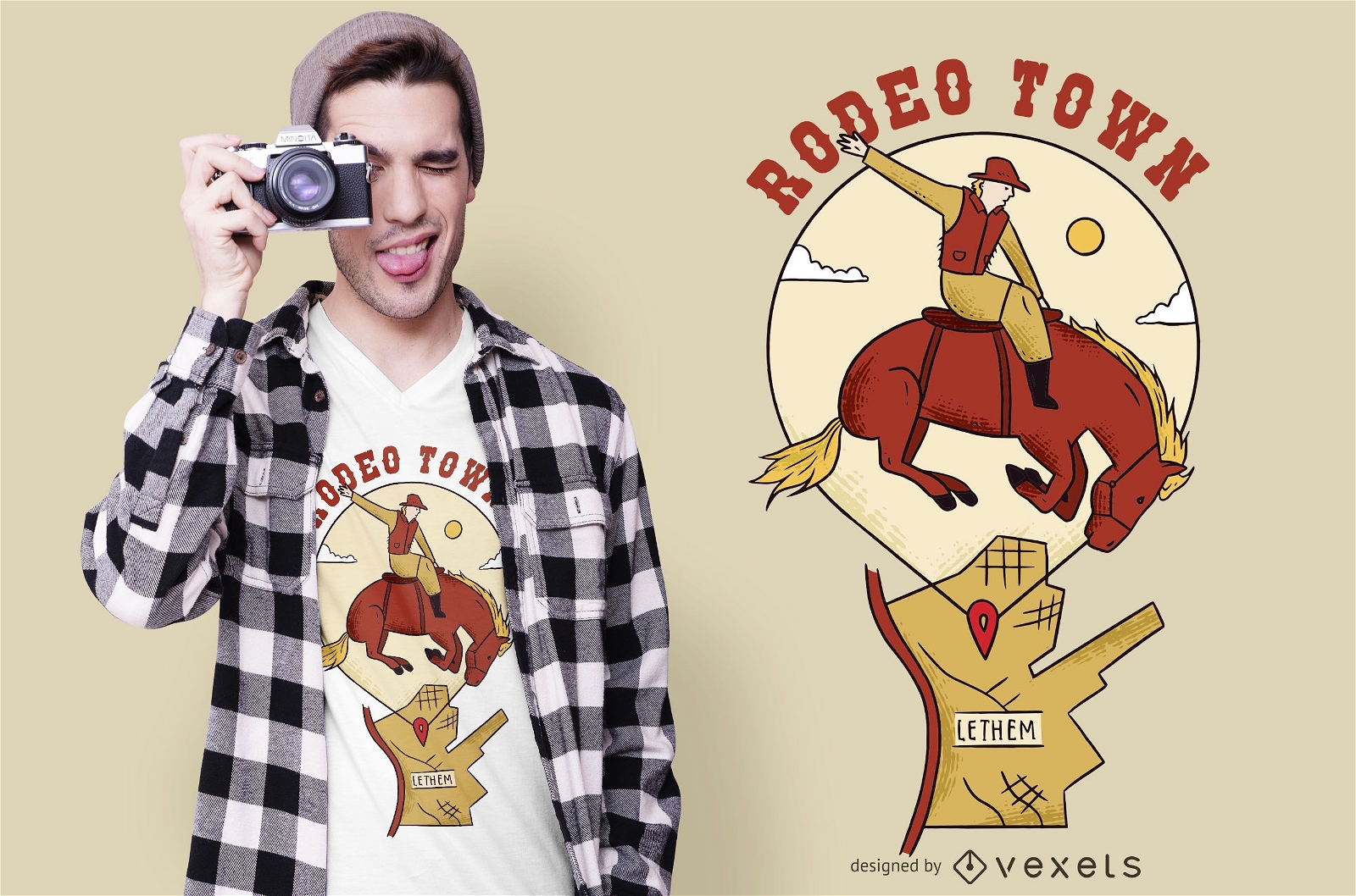
Rodeo town t-shirt design
Choose a folder
All favorites
Create new
Save
Rodeo town t-shirt design
Print ready
for Merch
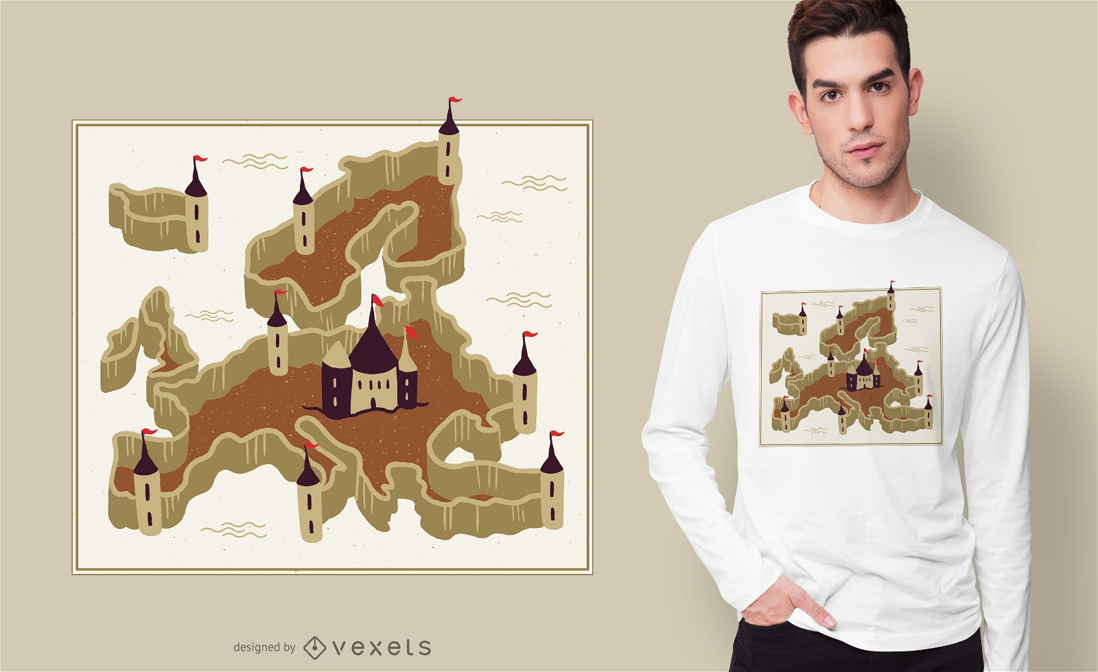
Europe Fortress T-shirt Design
Choose a folder
All favorites
Create new
Save
Europe Fortress T-shirt Design
Subscribe
To Get High-Quality Commercial Use Designs For Your Business
SEE PLANS
of 36
prev page
next page