Design Library
Explore Designs
New Merch Designs
Trending Merch Designs
Vectors
PNGs & SVGs
Mockups
T-Shirts
T-Shirt PSD Templates
KDP Designs
Phone Cases
Pillows
Tote Bags
Posters
Mugs
Design Tools
Designer
New!
T-shirt Maker
Mockup Generator
Quote Generator
Logo Maker
Resources
Merch Digest
Blog
Help Center
Creators Program
Learn About Merch
Changelog
Pricing
Loading...
Sign Up
Login
PNG
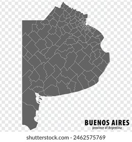
province
Design Library
Explore Designs
New Merch Designs
Trending Merch Designs
Vectors
PNGs & SVGs
Mockups
T-Shirts
T-Shirt PSD Templates
KDP Designs
Phone Cases
Pillows
Tote Bags
Posters
Mugs
Design Tools
Designer
New!
T-shirt Maker
Mockup Generator
Quote Generator
Logo Maker
Resources
Merch Digest
Blog
Help Center
Creators Program
Learn About Merch
Changelog
PLANS
PNG
province
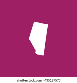
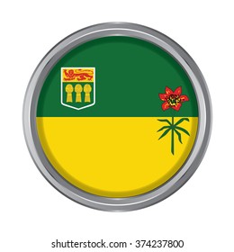
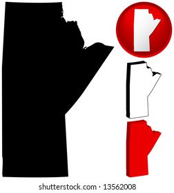
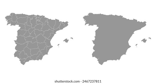
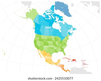
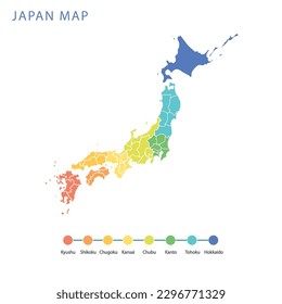
77 province PNG and SVG Editable Vectors
Download editable province PNG and SVG Vectors with transparent background.
Sort by
Most relevant
Sponsored results by
Get 15% off with code: VEXELS15
Show more
Premium
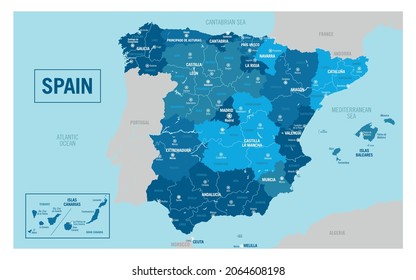
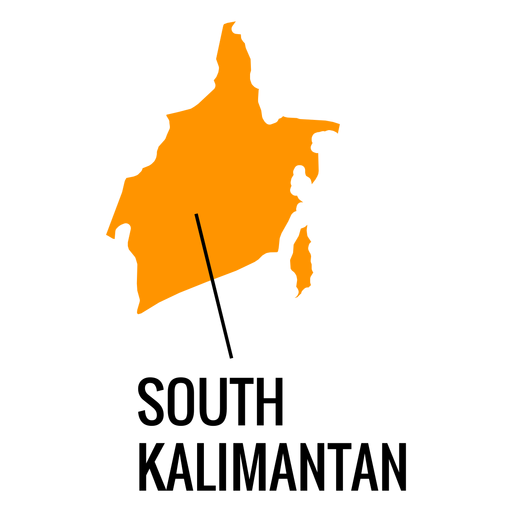
South kalimantan province map PNG Design
Choose a folder
All favorites
Create new
Save
South kalimantan province map PNG Design
Premium
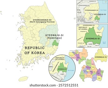
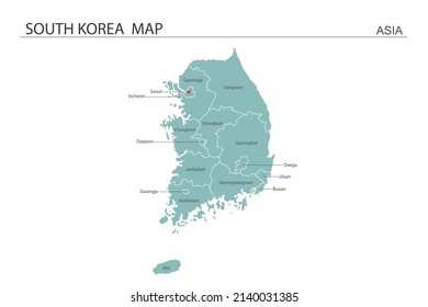
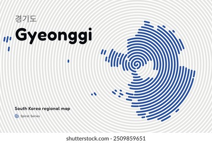
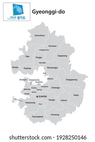
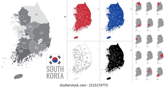
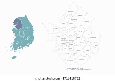
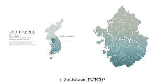
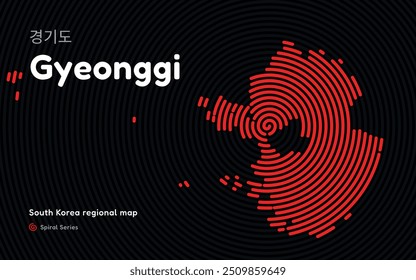
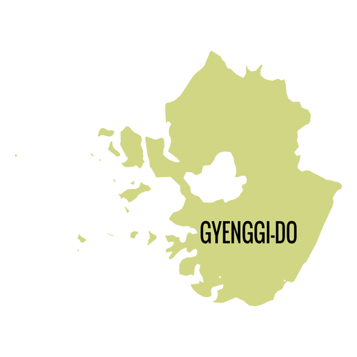
Gyeonggi do province map PNG Design
Choose a folder
All favorites
Create new
Save
Gyeonggi do province map PNG Design
Premium
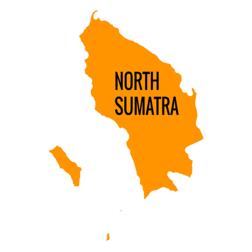
North sumatra province map PNG Design
Choose a folder
All favorites
Create new
Save
North sumatra province map PNG Design
Premium
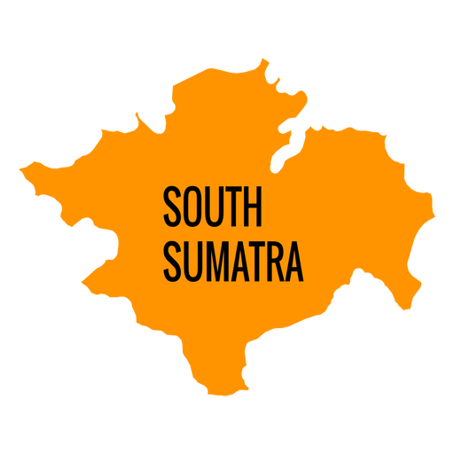
South sumatra province map PNG Design
Choose a folder
All favorites
Create new
Save
South sumatra province map PNG Design
Premium
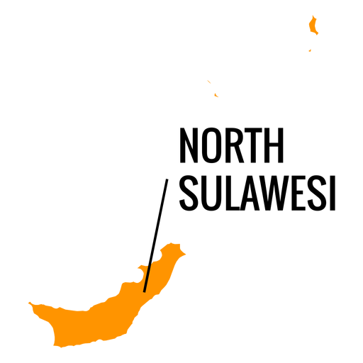
North sulawesi province map PNG Design
Choose a folder
All favorites
Create new
Save
North sulawesi province map PNG Design
Premium
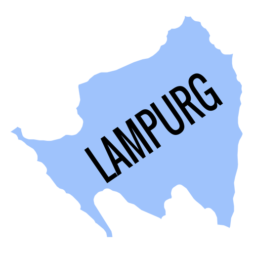
Lampurg province map PNG Design
Choose a folder
All favorites
Create new
Save
Lampurg province map PNG Design
Premium
Tierra del fuego province argentina national flag PNG Design
Choose a folder
All favorites
Create new
Save
Tierra del fuego province argentina national flag PNG Design
Premium
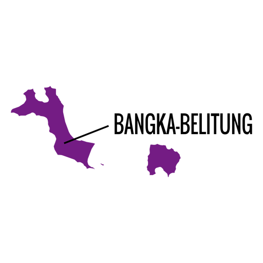
Bangka belitung province map PNG Design
Choose a folder
All favorites
Create new
Save
Bangka belitung province map PNG Design
Premium
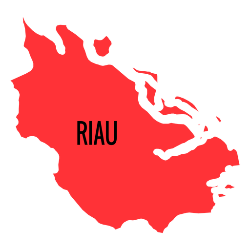
Riau province map PNG Design
Choose a folder
All favorites
Create new
Save
Riau province map PNG Design
Premium
Banten province map PNG Design
Choose a folder
All favorites
Create new
Save
Banten province map PNG Design
Premium
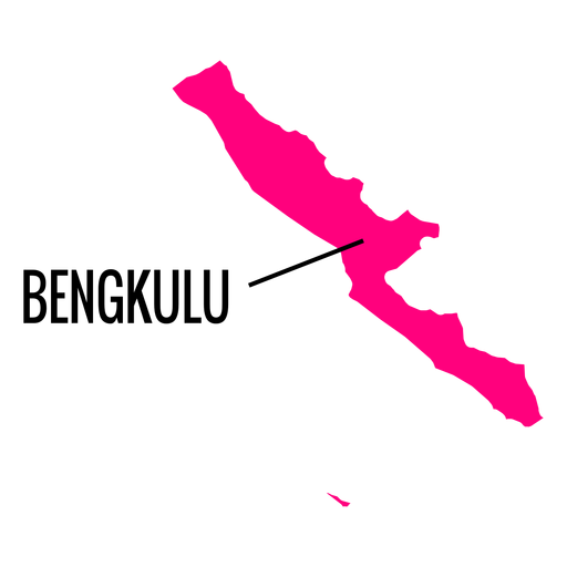
Bengkulu province map PNG Design
Choose a folder
All favorites
Create new
Save
Bengkulu province map PNG Design
Premium
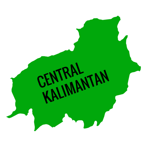
Central kalimantan province map PNG Design
Choose a folder
All favorites
Create new
Save
Central kalimantan province map PNG Design
Premium
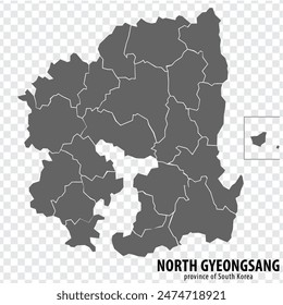
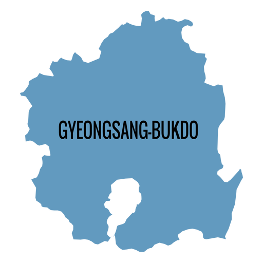
Gyeongsangbuk do province map PNG Design
Choose a folder
All favorites
Create new
Save
Gyeongsangbuk do province map PNG Design
Premium
Gorontalo province map PNG Design
Choose a folder
All favorites
Create new
Save
Gorontalo province map PNG Design
Premium
Jambi province map PNG Design
Choose a folder
All favorites
Create new
Save
Jambi province map PNG Design
Premium
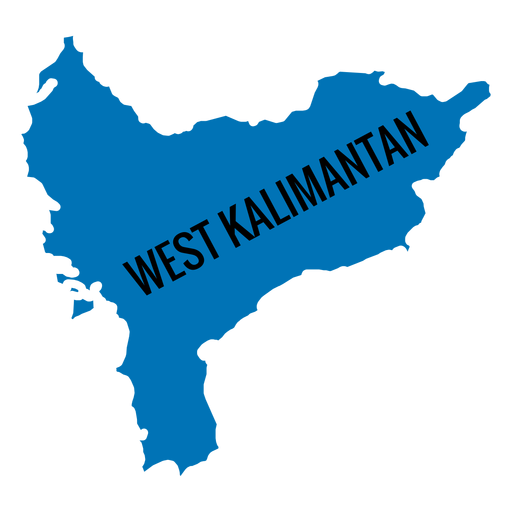
West kalimantan province map PNG Design
Choose a folder
All favorites
Create new
Save
West kalimantan province map PNG Design
Premium
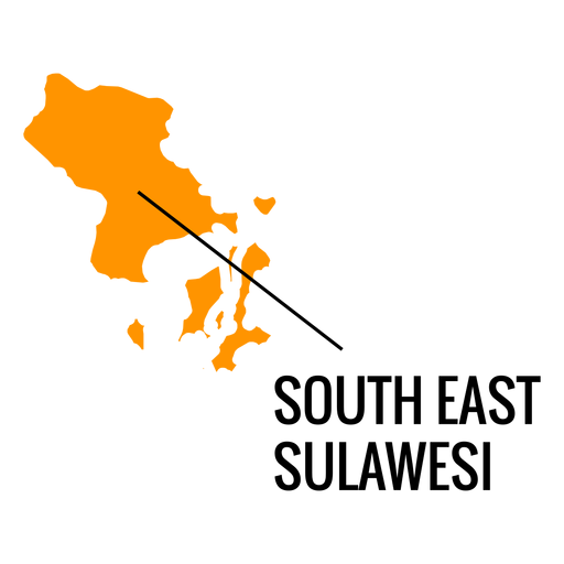
South east sulawesi province map PNG Design
Choose a folder
All favorites
Create new
Save
South east sulawesi province map PNG Design
Premium
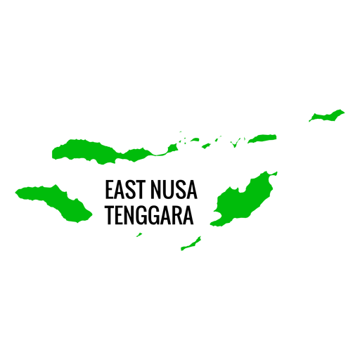
East nusa tenggara province map PNG Design
Choose a folder
All favorites
Create new
Save
East nusa tenggara province map PNG Design
Premium
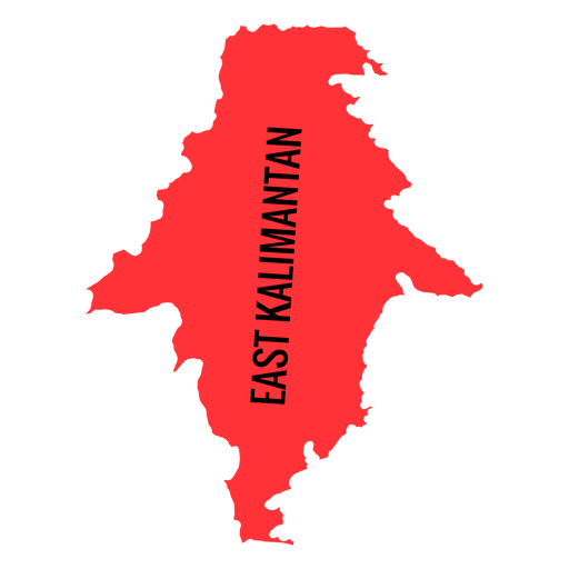
East kalimantan province map PNG Design
Choose a folder
All favorites
Create new
Save
East kalimantan province map PNG Design
Premium
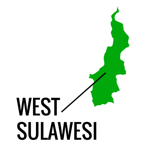
West sulawesi province map PNG Design
Choose a folder
All favorites
Create new
Save
West sulawesi province map PNG Design
Premium
Hamburg state crest PNG Design
Choose a folder
All favorites
Create new
Save
Hamburg state crest PNG Design
Premium
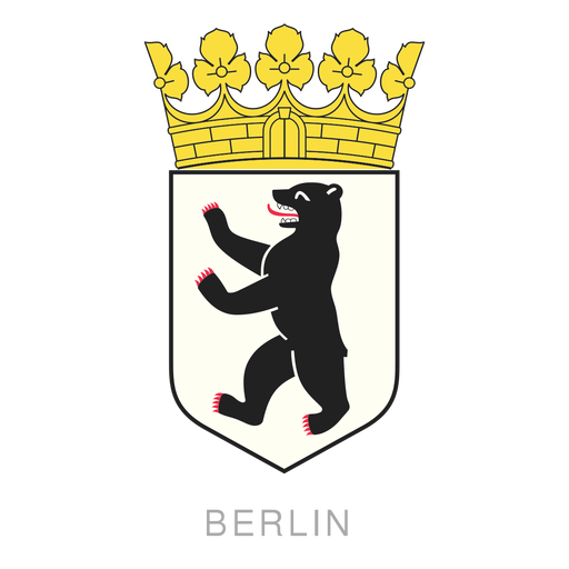
Berlin crest PNG Design
Choose a folder
All favorites
Create new
Save
Berlin crest PNG Design
Premium
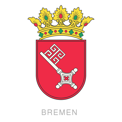
German state bremen crest PNG Design
Choose a folder
All favorites
Create new
Save
German state bremen crest PNG Design
Premium
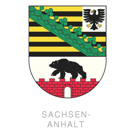
Sachsen anhalt crest PNG Design
Choose a folder
All favorites
Create new
Save
Sachsen anhalt crest PNG Design
Premium
Brandenburg state crest PNG Design
Choose a folder
All favorites
Create new
Save
Brandenburg state crest PNG Design
Premium
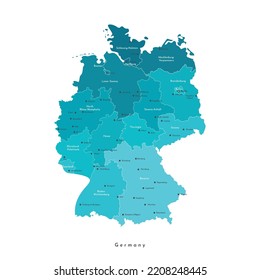
German state crest PNG Design
Choose a folder
All favorites
Create new
Save
German state crest PNG Design
Premium
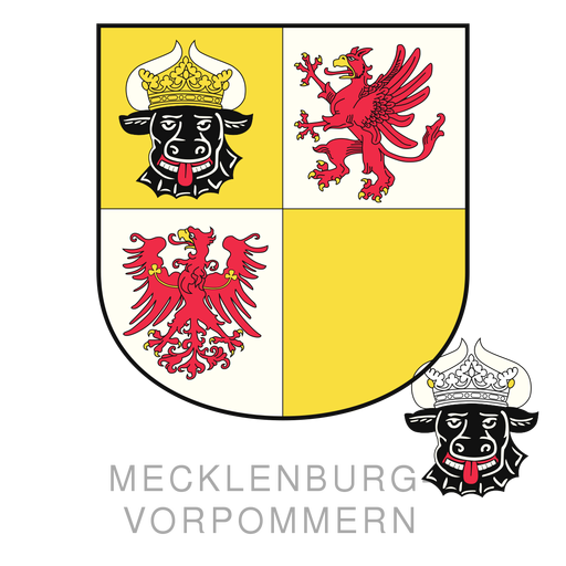
Mecklenburg state crest PNG Design
Choose a folder
All favorites
Create new
Save
Mecklenburg state crest PNG Design
Subscribe
To Get High-Quality Commercial Use Designs For Your Business
SEE PLANS
of 2
prev page
next page