Design Library
Explore Designs
New Merch Designs
Trending Merch Designs
Vectors
PNGs & SVGs
Mockups
T-Shirts
T-Shirt PSD Templates
KDP Designs
Phone Cases
Pillows
Tote Bags
Posters
Mugs
Design Tools
Designer
New!
T-shirt Maker
Mockup Generator
Quote Generator
Logo Maker
Resources
Merch Digest
Blog
Help Center
Creators Program
Learn About Merch
Changelog
Pricing
Loading...
Sign Up
Login
PNG
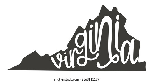
state
Design Library
Explore Designs
New Merch Designs
Trending Merch Designs
Vectors
PNGs & SVGs
Mockups
T-Shirts
T-Shirt PSD Templates
KDP Designs
Phone Cases
Pillows
Tote Bags
Posters
Mugs
Design Tools
Designer
New!
T-shirt Maker
Mockup Generator
Quote Generator
Logo Maker
Resources
Merch Digest
Blog
Help Center
Creators Program
Learn About Merch
Changelog
PLANS
PNG
state
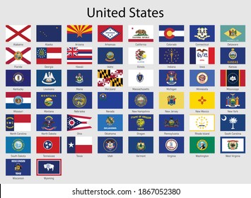
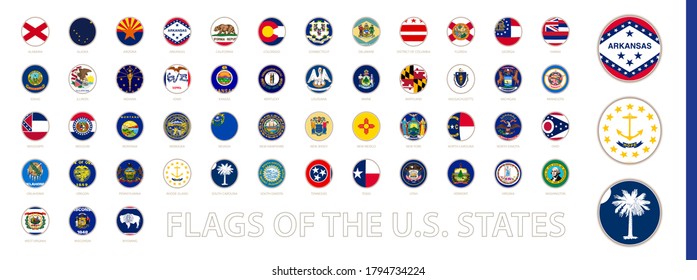
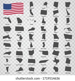
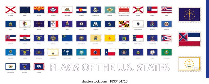
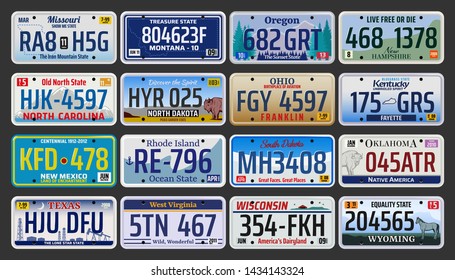
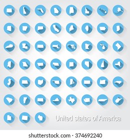
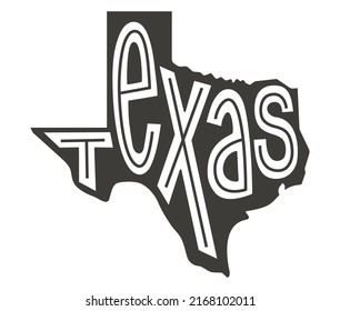
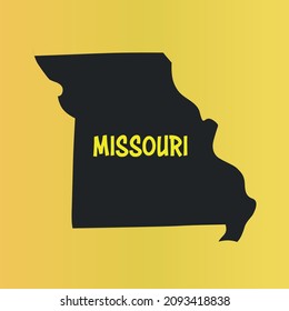
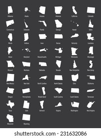
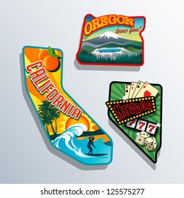
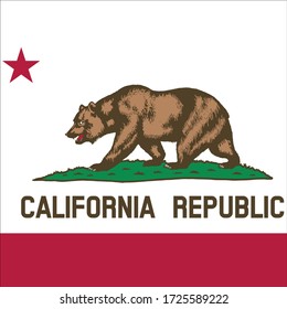
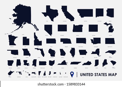
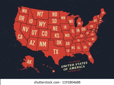
646 state PNG and SVG Editable Vectors
Download editable state PNG and SVG Vectors with transparent background.
Related:
united states
,
states
,
empire state
Sort by
Most relevant
Sponsored results by
Get 15% off with code: VEXELS15
Show more
Premium
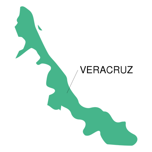
Veracruz state map PNG Design
Choose a folder
All favorites
Create new
Save
Veracruz state map PNG Design
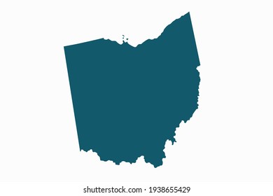
Premium
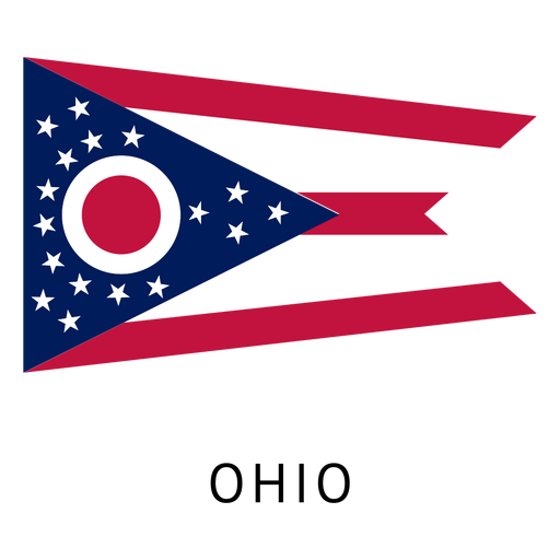
Ohio state flag PNG Design
Choose a folder
All favorites
Create new
Save
Ohio state flag PNG Design
Premium
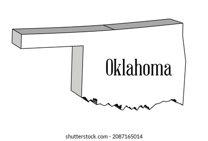
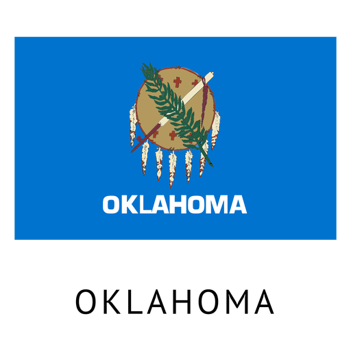
Oklahoma state flag PNG Design
Choose a folder
All favorites
Create new
Save
Oklahoma state flag PNG Design
Premium
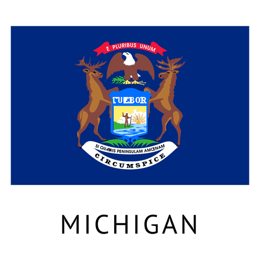
Michigan state flag PNG Design
Choose a folder
All favorites
Create new
Save
Michigan state flag PNG Design
Premium
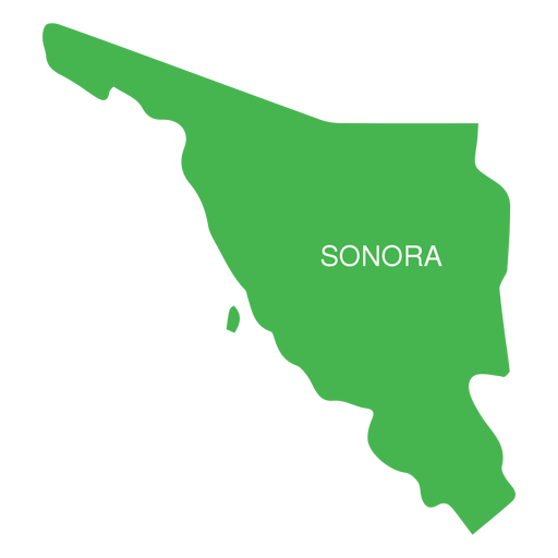
Sonora state map PNG Design
Choose a folder
All favorites
Create new
Save
Sonora state map PNG Design
Premium
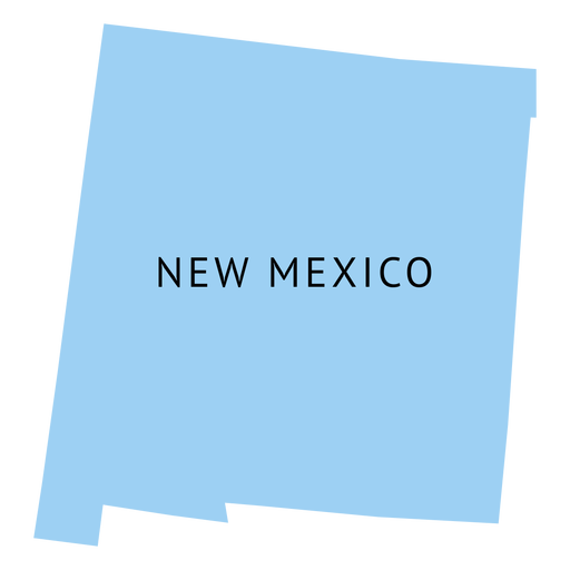
New mexico state plain map PNG Design
Choose a folder
All favorites
Create new
Save
New mexico state plain map PNG Design
Premium
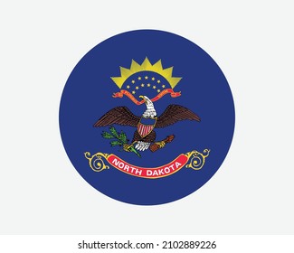
North dakota state plain map PNG Design
Choose a folder
All favorites
Create new
Save
North dakota state plain map PNG Design
Premium
Utah state flag PNG Design
Choose a folder
All favorites
Create new
Save
Utah state flag PNG Design
Premium
Guanajuato state map PNG Design
Choose a folder
All favorites
Create new
Save
Guanajuato state map PNG Design
Premium
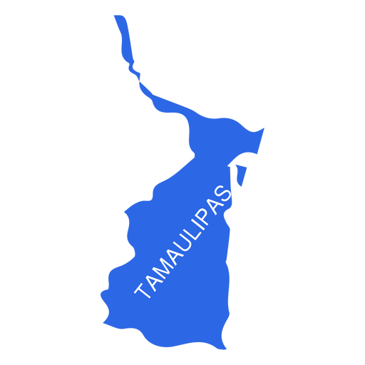
Tamaulipas state map PNG Design
Choose a folder
All favorites
Create new
Save
Tamaulipas state map PNG Design
Premium
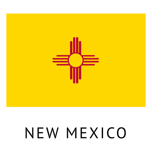
New mexico state flag PNG Design
Choose a folder
All favorites
Create new
Save
New mexico state flag PNG Design
Premium
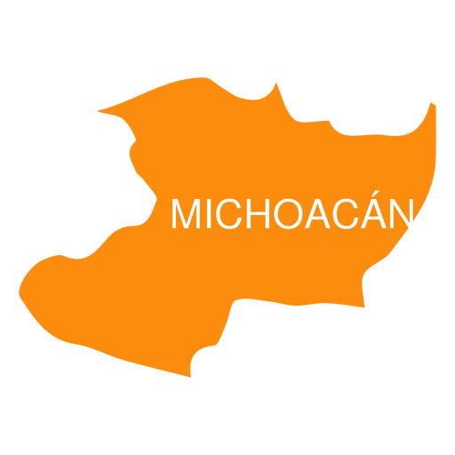
Michoacan de ocampa state map PNG Design
Choose a folder
All favorites
Create new
Save
Michoacan de ocampa state map PNG Design
Premium
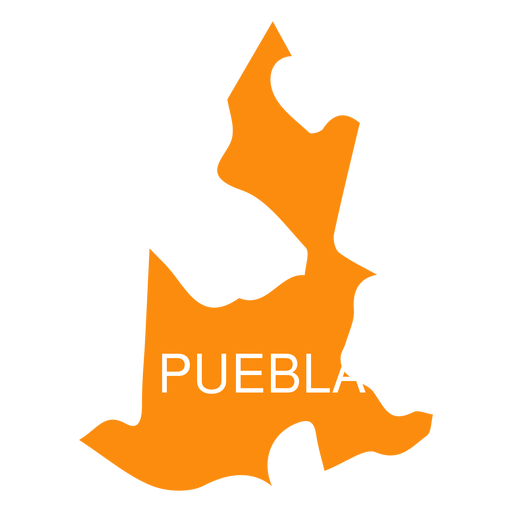
Puebla state map PNG Design
Choose a folder
All favorites
Create new
Save
Puebla state map PNG Design
Premium
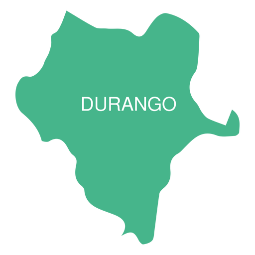
Durango state map PNG Design
Choose a folder
All favorites
Create new
Save
Durango state map PNG Design
Premium
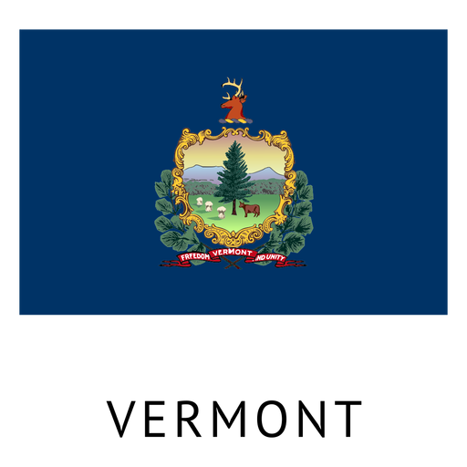
Vermont state flag PNG Design
Choose a folder
All favorites
Create new
Save
Vermont state flag PNG Design
Premium
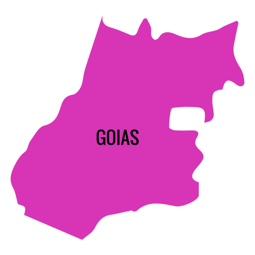
Goias state map PNG Design
Choose a folder
All favorites
Create new
Save
Goias state map PNG Design
Premium
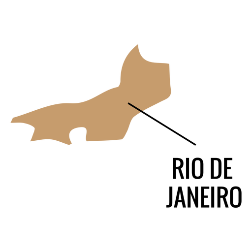
Rio de janeiro state map PNG Design
Choose a folder
All favorites
Create new
Save
Rio de janeiro state map PNG Design
Premium
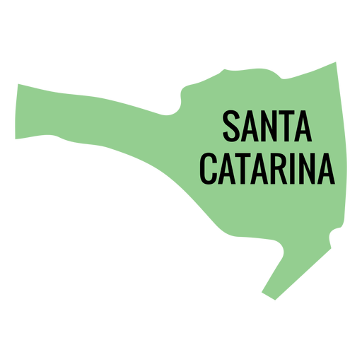
Santa catarina state map PNG Design
Choose a folder
All favorites
Create new
Save
Santa catarina state map PNG Design
Premium
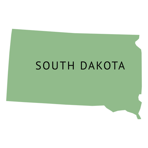
South dakota state plain map PNG Design
Choose a folder
All favorites
Create new
Save
South dakota state plain map PNG Design
Premium
Crest of german state PNG Design
Choose a folder
All favorites
Create new
Save
Crest of german state PNG Design
Premium
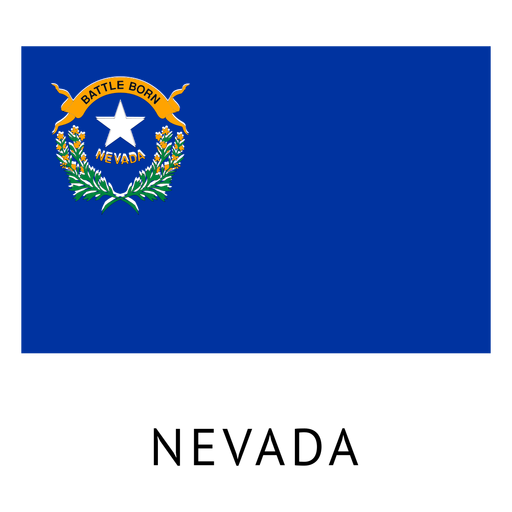
Nevada state flag PNG Design
Choose a folder
All favorites
Create new
Save
Nevada state flag PNG Design
Premium
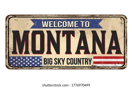
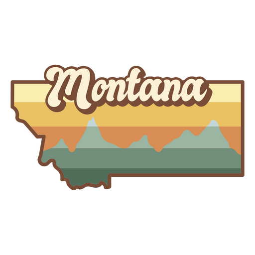
Montana state sticker PNG Design
Choose a folder
All favorites
Create new
Save
Montana state sticker PNG Design
Premium
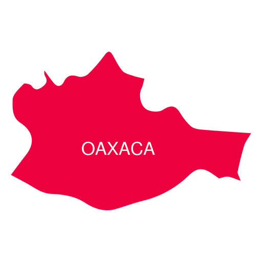
Oaxaca state map PNG Design
Choose a folder
All favorites
Create new
Save
Oaxaca state map PNG Design
Premium
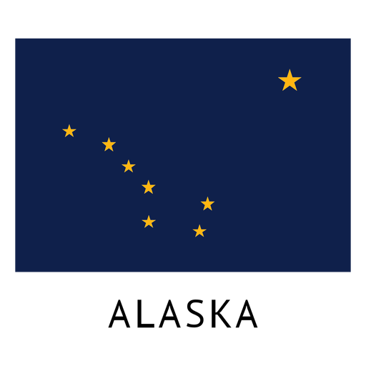
Alaska state flag PNG Design
Choose a folder
All favorites
Create new
Save
Alaska state flag PNG Design
Premium
Arkansas state flag PNG Design
Choose a folder
All favorites
Create new
Save
Arkansas state flag PNG Design
Premium
Queretaro de arteaga state map PNG Design
Choose a folder
All favorites
Create new
Save
Queretaro de arteaga state map PNG Design
Premium
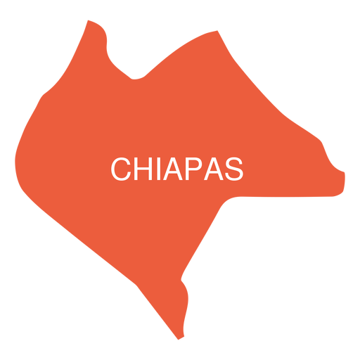
Chiapas state map PNG Design
Choose a folder
All favorites
Create new
Save
Chiapas state map PNG Design
Premium
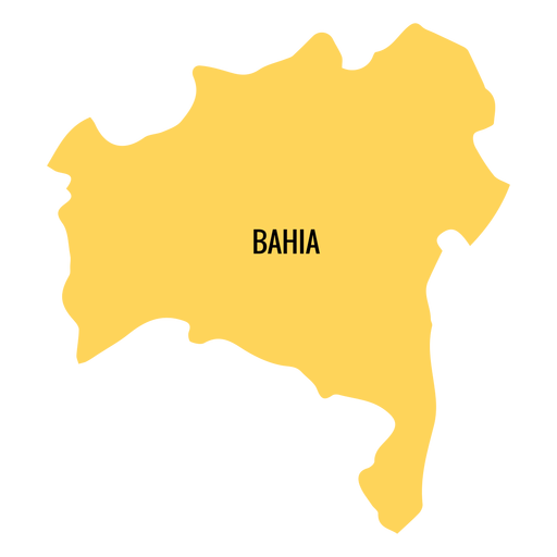
Bahia state map PNG Design
Choose a folder
All favorites
Create new
Save
Bahia state map PNG Design
Premium
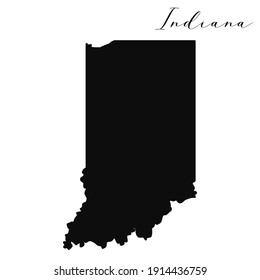
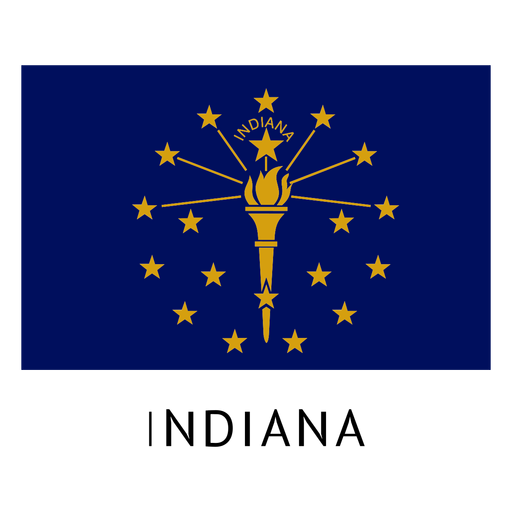
Indiana state flag PNG Design
Choose a folder
All favorites
Create new
Save
Indiana state flag PNG Design
Premium
Tabasco state map PNG Design
Choose a folder
All favorites
Create new
Save
Tabasco state map PNG Design
Premium
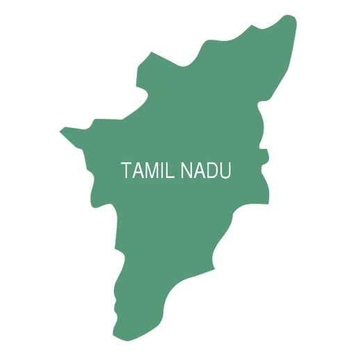
Tamil nadu state map PNG Design
Choose a folder
All favorites
Create new
Save
Tamil nadu state map PNG Design
Premium
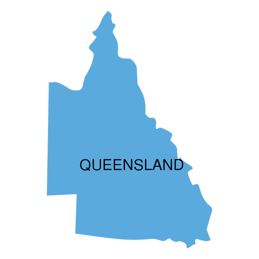
Queensland state map PNG Design
Choose a folder
All favorites
Create new
Save
Queensland state map PNG Design
Premium
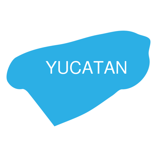
Yucatan state map PNG Design
Choose a folder
All favorites
Create new
Save
Yucatan state map PNG Design
Premium
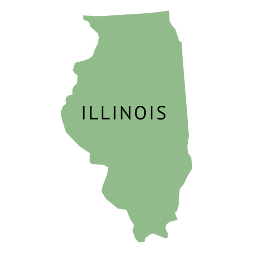
Illionois state plain map PNG Design
Choose a folder
All favorites
Create new
Save
Illionois state plain map PNG Design
Premium
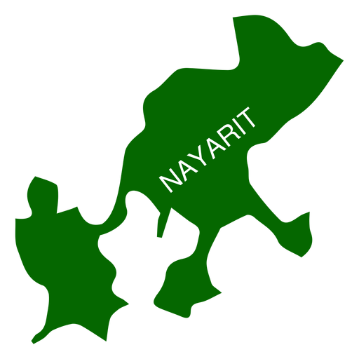
Nayarit state map PNG Design
Choose a folder
All favorites
Create new
Save
Nayarit state map PNG Design
Premium
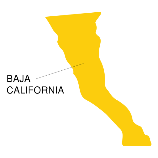
Baja california state map PNG Design
Choose a folder
All favorites
Create new
Save
Baja california state map PNG Design
Premium
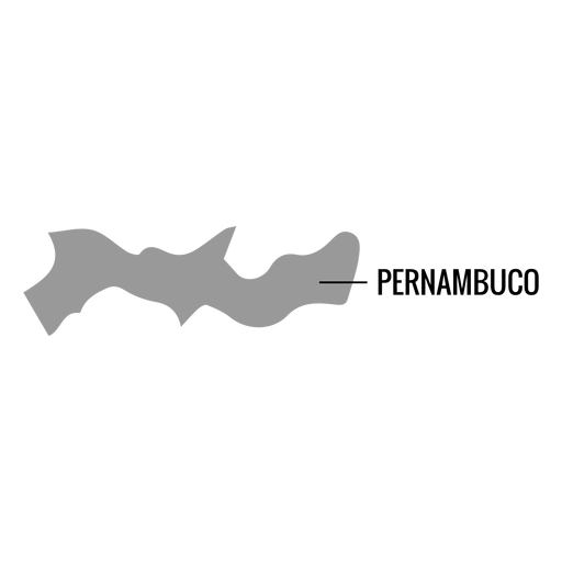
Pernambuco state map PNG Design
Choose a folder
All favorites
Create new
Save
Pernambuco state map PNG Design
Premium
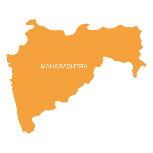
Maharashtra state map PNG Design
Choose a folder
All favorites
Create new
Save
Maharashtra state map PNG Design
Premium
Morelos state map PNG Design
Choose a folder
All favorites
Create new
Save
Morelos state map PNG Design
Premium
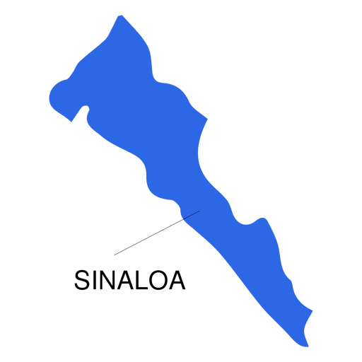
Sinaloa state map PNG Design
Choose a folder
All favorites
Create new
Save
Sinaloa state map PNG Design
Premium
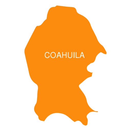
Coahuila de zaragoza state map PNG Design
Choose a folder
All favorites
Create new
Save
Coahuila de zaragoza state map PNG Design
Premium
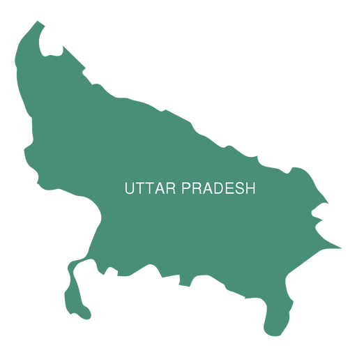
Uttar pradesh state map PNG Design
Choose a folder
All favorites
Create new
Save
Uttar pradesh state map PNG Design
Premium
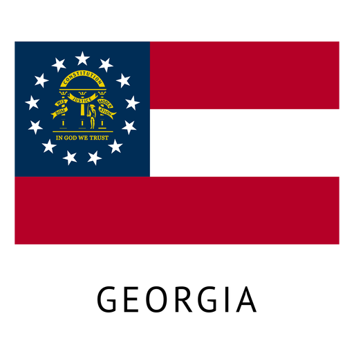
Georgia state flag PNG Design
Choose a folder
All favorites
Create new
Save
Georgia state flag PNG Design
Premium
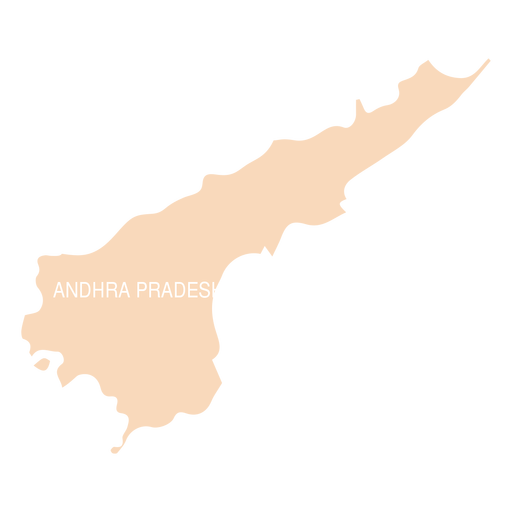
Andhra pradesh state map PNG Design
Choose a folder
All favorites
Create new
Save
Andhra pradesh state map PNG Design
Premium
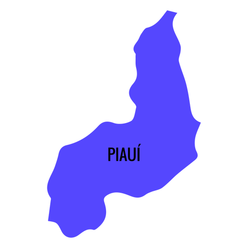
Piaui state map PNG Design
Choose a folder
All favorites
Create new
Save
Piaui state map PNG Design
Premium
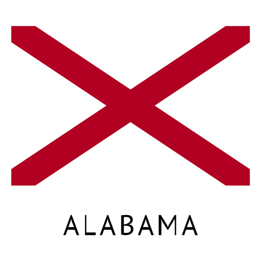
Alabama state flag PNG Design
Choose a folder
All favorites
Create new
Save
Alabama state flag PNG Design
Premium
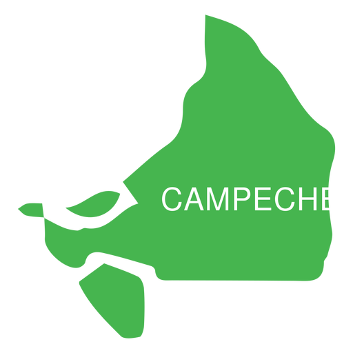
Campeche state map PNG Design
Choose a folder
All favorites
Create new
Save
Campeche state map PNG Design
Premium
Connecticut state flag PNG Design
Choose a folder
All favorites
Create new
Save
Connecticut state flag PNG Design
Premium
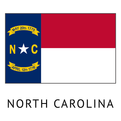
North carolina state flag PNG Design
Choose a folder
All favorites
Create new
Save
North carolina state flag PNG Design
Premium
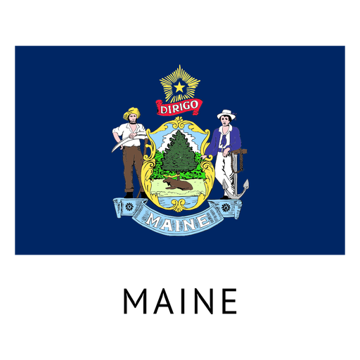
Maine state flag PNG Design
Choose a folder
All favorites
Create new
Save
Maine state flag PNG Design
Subscribe
To Get High-Quality Commercial Use Designs For Your Business
SEE PLANS
Next
of 13
prev page
next page