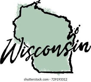
Design Library
Explore Designs
New Merch Designs
Trending Merch Designs
Vectors
PNGs & SVGs
Mockups
T-Shirts
T-Shirt PSD Templates
KDP Designs
Phone Cases
Pillows
Tote Bags
Posters
Mugs
Design Tools
Designer
New!
T-shirt Maker
Mockup Generator
Quote Generator
Logo Maker
Resources
Merch Digest
Blog
Help Center
Creators Program
Learn About Merch
Changelog
Pricing
Loading...
Sign Up
Login
PNG
state
Design Library
Explore Designs
New Merch Designs
Trending Merch Designs
Vectors
PNGs & SVGs
Mockups
T-Shirts
T-Shirt PSD Templates
KDP Designs
Phone Cases
Pillows
Tote Bags
Posters
Mugs
Design Tools
Designer
New!
T-shirt Maker
Mockup Generator
Quote Generator
Logo Maker
Resources
Merch Digest
Blog
Help Center
Creators Program
Learn About Merch
Changelog
PLANS
PNG
state
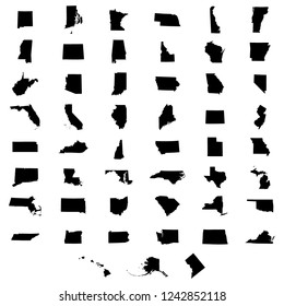
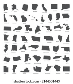
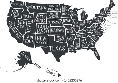
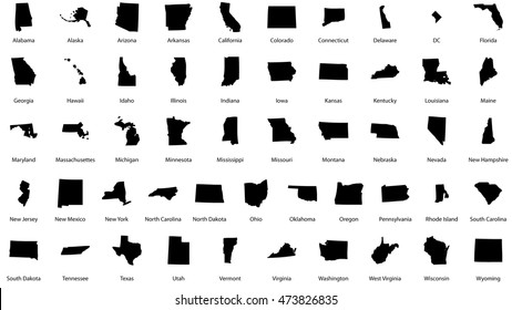
646 state PNG and SVG Editable Vectors
Download editable state PNG and SVG Vectors with transparent background.
Related:
united states
,
states
,
empire state
Sort by
Most relevant
Sponsored results by
Get 15% off with code: VEXELS15
Show more
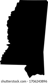
Mississippi state mandala map element PNG Design
Choose a folder
All favorites
Create new
Save
Mississippi state mandala map element PNG Design
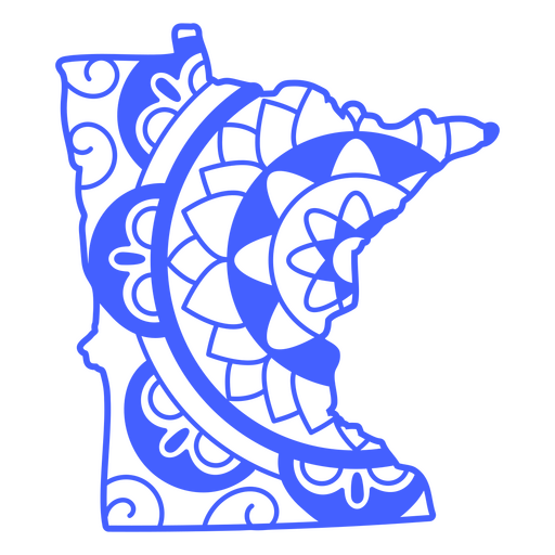
Minnesota state mandala map stroke PNG Design
Choose a folder
All favorites
Create new
Save
Minnesota state mandala map stroke PNG Design
Premium
German state crest PNG Design
Choose a folder
All favorites
Create new
Save
German state crest PNG Design
Premium
Manipur state map PNG Design
Choose a folder
All favorites
Create new
Save
Manipur state map PNG Design
Premium
Meghalaya state map PNG Design
Choose a folder
All favorites
Create new
Save
Meghalaya state map PNG Design
Premium
Jharkhand state map PNG Design
Choose a folder
All favorites
Create new
Save
Jharkhand state map PNG Design
Polygonal Ohio State Map PNG Design
Choose a folder
All favorites
Create new
Save
Polygonal Ohio State Map PNG Design
Premium
Goa state map PNG Design
Choose a folder
All favorites
Create new
Save
Goa state map PNG Design
Premium
Western australia state map PNG Design
Choose a folder
All favorites
Create new
Save
Western australia state map PNG Design
Minnesota state mandala map PNG Design
Choose a folder
All favorites
Create new
Save
Minnesota state mandala map PNG Design
Florida state map mandala PNG Design
Choose a folder
All favorites
Create new
Save
Florida state map mandala PNG Design
Premium
Tripura state map PNG Design
Choose a folder
All favorites
Create new
Save
Tripura state map PNG Design
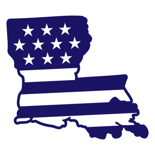
Louisiana state american flag filled stroke map PNG Design
Choose a folder
All favorites
Create new
Save
Louisiana state american flag filled stroke map PNG Design
Mississippi state american flag filled stroke map PNG Design
Choose a folder
All favorites
Create new
Save
Mississippi state american flag filled stroke map PNG Design
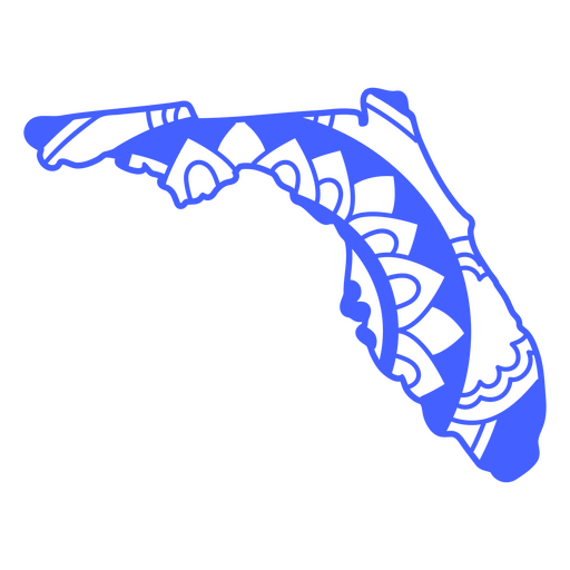
Florida state mandala map stroke PNG Design
Choose a folder
All favorites
Create new
Save
Florida state mandala map stroke PNG Design
Premium
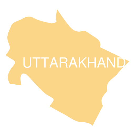
Uttarakhand state map PNG Design
Choose a folder
All favorites
Create new
Save
Uttarakhand state map PNG Design
Premium
Mecklenburg state crest PNG Design
Choose a folder
All favorites
Create new
Save
Mecklenburg state crest PNG Design
Premium
The state of oklahoma map in green PNG Design
Choose a folder
All favorites
Create new
Save
The state of oklahoma map in green PNG Design
Premium
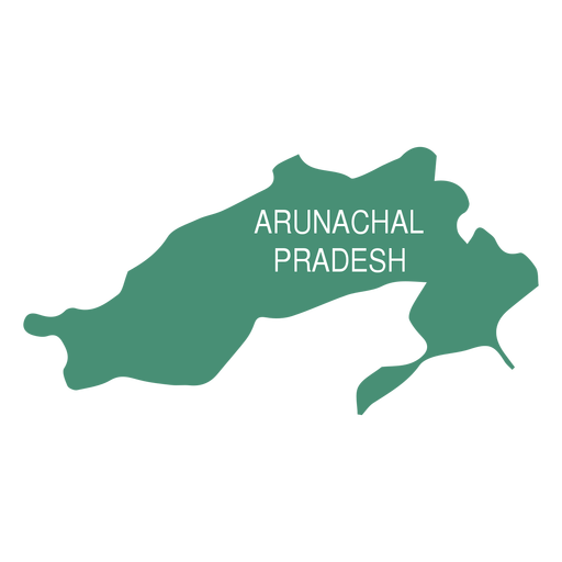
Arunachal pradesh state map PNG Design
Choose a folder
All favorites
Create new
Save
Arunachal pradesh state map PNG Design
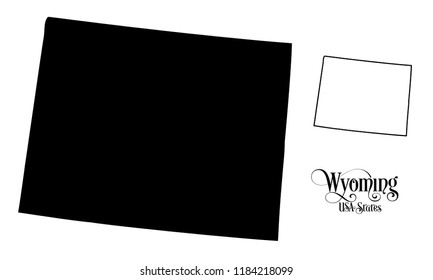
Wyoming state color stroke PNG Design
Choose a folder
All favorites
Create new
Save
Wyoming state color stroke PNG Design
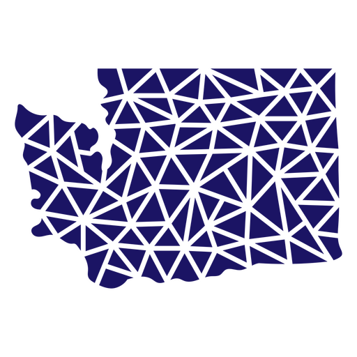
Polygonal Washington State Map PNG Design
Choose a folder
All favorites
Create new
Save
Polygonal Washington State Map PNG Design
Premium
Himachal pradesh state map PNG Design
Choose a folder
All favorites
Create new
Save
Himachal pradesh state map PNG Design
Delaware state color stroke PNG Design
Choose a folder
All favorites
Create new
Save
Delaware state color stroke PNG Design
Premium
Jammu and kashmir state map PNG Design
Choose a folder
All favorites
Create new
Save
Jammu and kashmir state map PNG Design
Premium
The state of ohio is shown on a green background PNG Design
Choose a folder
All favorites
Create new
Save
The state of ohio is shown on a green background PNG Design
Missouri state map color stroke PNG Design
Choose a folder
All favorites
Create new
Save
Missouri state map color stroke PNG Design
Kansas state mandala map PNG Design
Choose a folder
All favorites
Create new
Save
Kansas state mandala map PNG Design
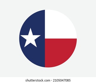
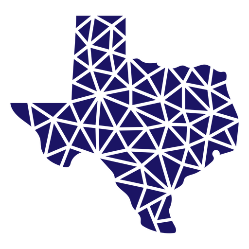
Polygonal Texas State Map PNG Design
Choose a folder
All favorites
Create new
Save
Polygonal Texas State Map PNG Design
Premium
Empire state bulding photo icon PNG Design
Choose a folder
All favorites
Create new
Save
Empire state bulding photo icon PNG Design
Premium
South australia state map PNG Design
Choose a folder
All favorites
Create new
Save
South australia state map PNG Design
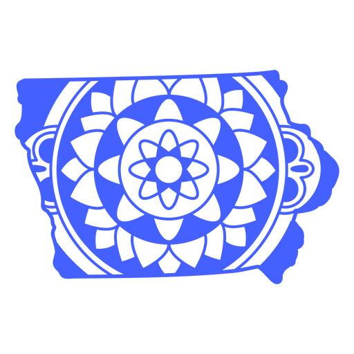
Iowa state mandala map stroke PNG Design
Choose a folder
All favorites
Create new
Save
Iowa state mandala map stroke PNG Design
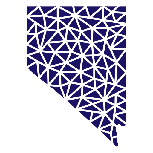
Polygonal Nevada State Map PNG Design
Choose a folder
All favorites
Create new
Save
Polygonal Nevada State Map PNG Design
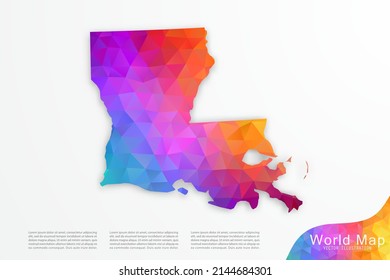
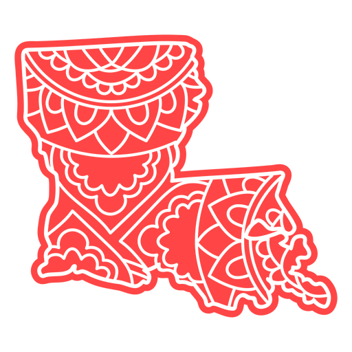
Louisiana state mandala map PNG Design
Choose a folder
All favorites
Create new
Save
Louisiana state mandala map PNG Design
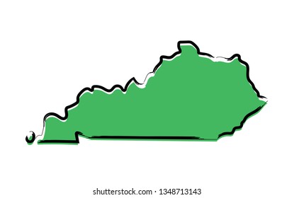
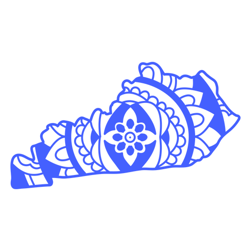
Kentucky state mandala map stroke PNG Design
Choose a folder
All favorites
Create new
Save
Kentucky state mandala map stroke PNG Design
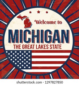
Michigan state mandala map stroke PNG Design
Choose a folder
All favorites
Create new
Save
Michigan state mandala map stroke PNG Design
Polygonal Oklahoma State Map PNG Design
Choose a folder
All favorites
Create new
Save
Polygonal Oklahoma State Map PNG Design
Premium
The state of oregon is shown on a green background PNG Design
Choose a folder
All favorites
Create new
Save
The state of oregon is shown on a green background PNG Design
North Dakota state stroke map PNG Design
Choose a folder
All favorites
Create new
Save
North Dakota state stroke map PNG Design
Kansas state mandala map stroke PNG Design
Choose a folder
All favorites
Create new
Save
Kansas state mandala map stroke PNG Design
Hawaii state american flag filled stroke map PNG Design
Choose a folder
All favorites
Create new
Save
Hawaii state american flag filled stroke map PNG Design
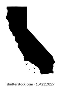
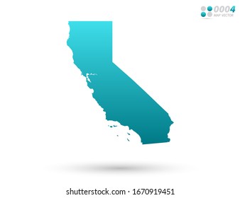
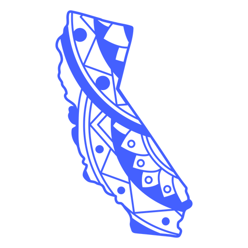
California state mandala map stroke PNG Design
Choose a folder
All favorites
Create new
Save
California state mandala map stroke PNG Design
Alaska state mandala map element PNG Design
Choose a folder
All favorites
Create new
Save
Alaska state mandala map element PNG Design
Massachusetts state mandala map stroke PNG Design
Choose a folder
All favorites
Create new
Save
Massachusetts state mandala map stroke PNG Design
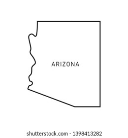
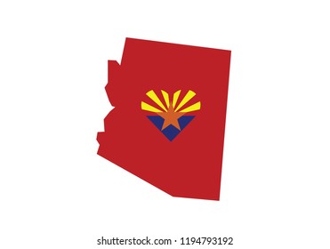
Arizona state mandala map stroke PNG Design
Choose a folder
All favorites
Create new
Save
Arizona state mandala map stroke PNG Design
Premium
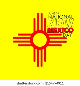
The state of new mexico is shown PNG Design
Choose a folder
All favorites
Create new
Save
The state of new mexico is shown PNG Design
Massachusetts state american flag color stroke map PNG Design
Choose a folder
All favorites
Create new
Save
Massachusetts state american flag color stroke map PNG Design
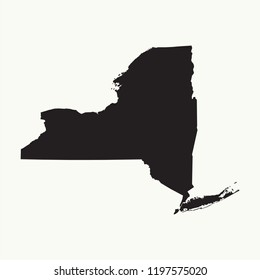
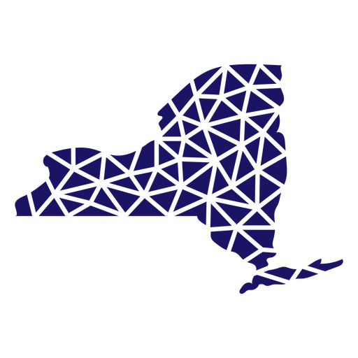
Polygonal New York State Map PNG Design
Choose a folder
All favorites
Create new
Save
Polygonal New York State Map PNG Design
Idaho state mandala map PNG Design
Choose a folder
All favorites
Create new
Save
Idaho state mandala map PNG Design
Idaho state mandala map stroke PNG Design
Choose a folder
All favorites
Create new
Save
Idaho state mandala map stroke PNG Design
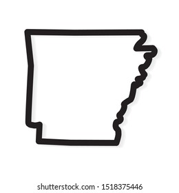
Arkansas state mandala map PNG Design
Choose a folder
All favorites
Create new
Save
Arkansas state mandala map PNG Design
Subscribe
To Get High-Quality Commercial Use Designs For Your Business
SEE PLANS
Next
of 13
prev page
next page